What San Francisco looked like in the 1950s through these Fascinating Vintage Photos
1.1k Views
San Francisco in the 1950s was a city in full motion. After World War II ended, the place didn’t slow down — it surged. People arrived from across the country looking for work, housing, and a new beginning. Industries that had grown during the war stayed and expanded. Shipyards, manufacturing plants, and the city’s massive port kept thousands employed. The waterfront handled cargo from around the globe, and the streets reflected that energy every single day.
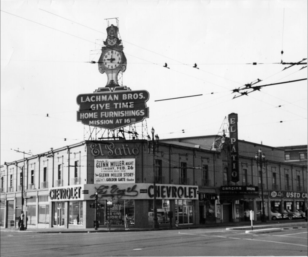
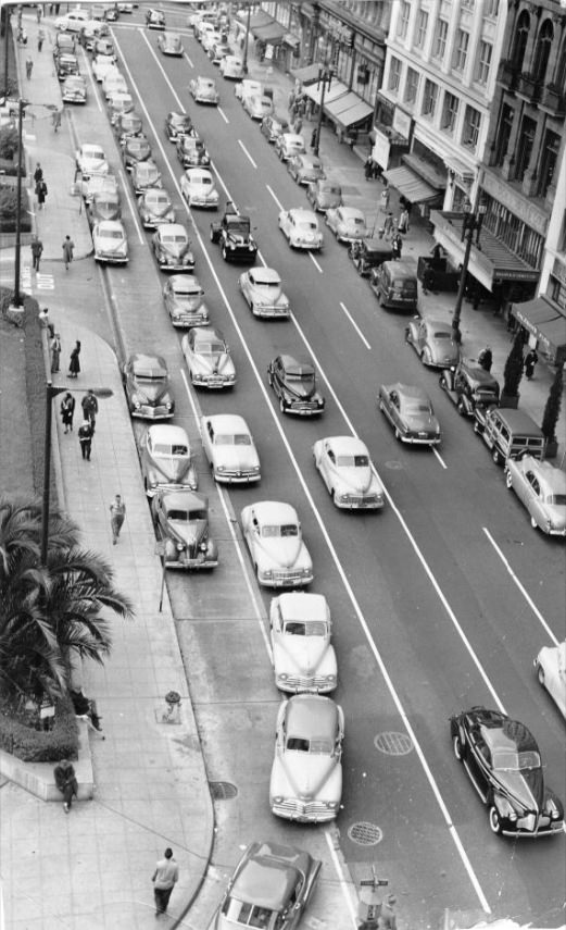
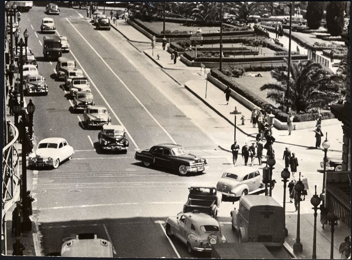
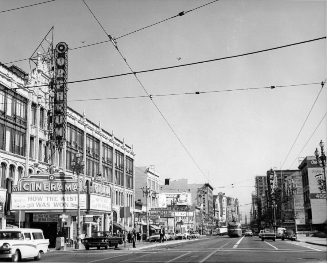
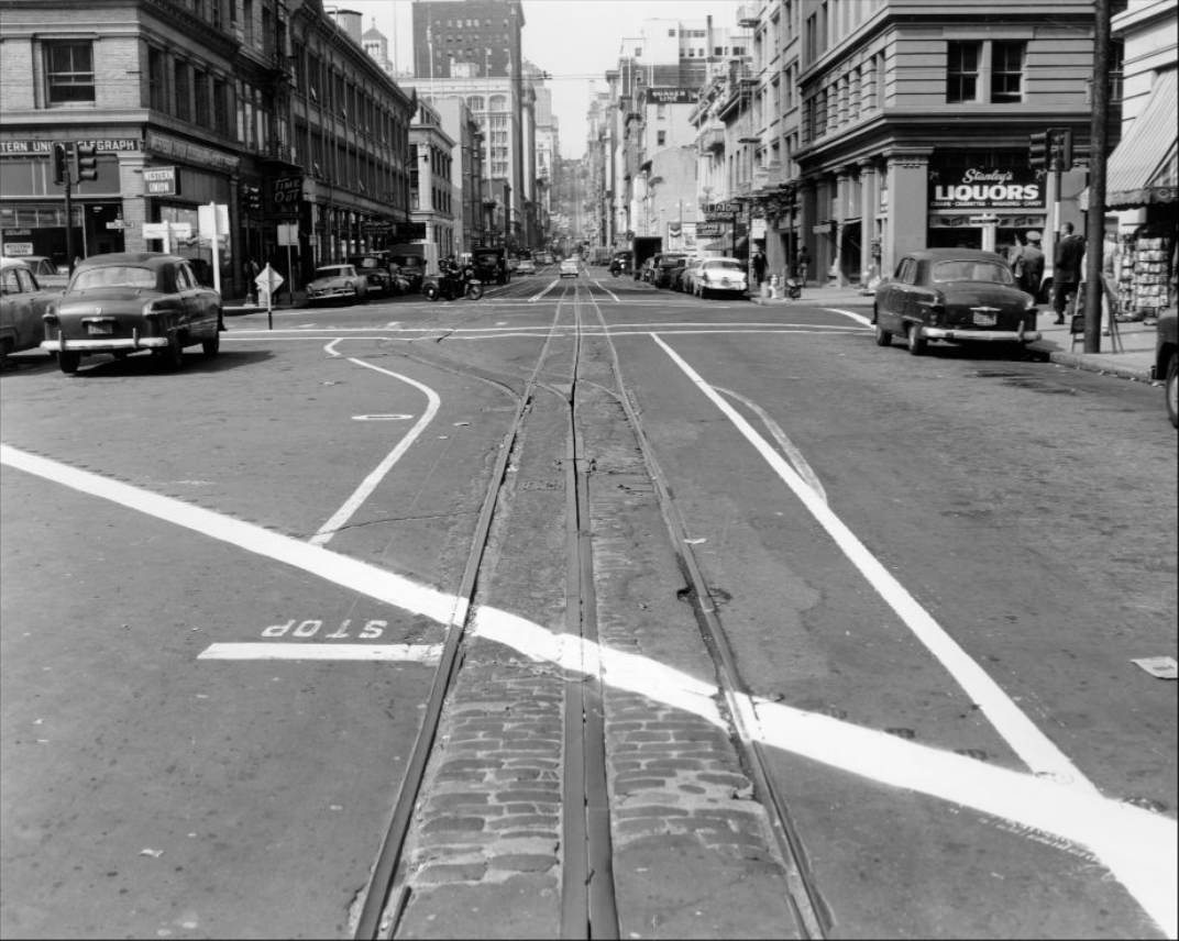
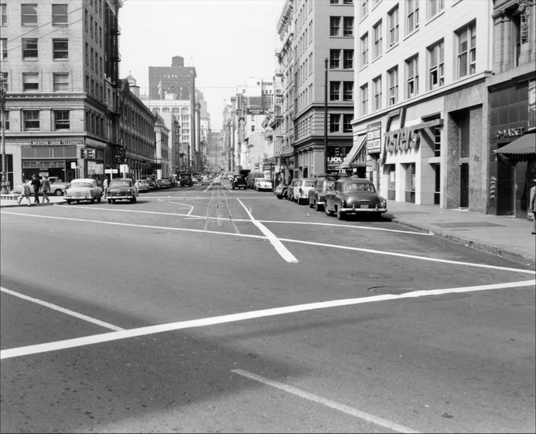
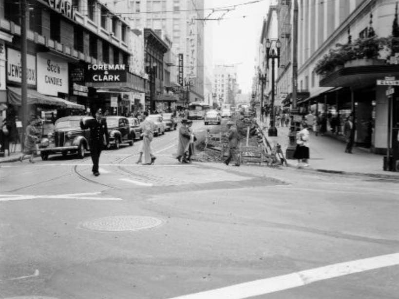
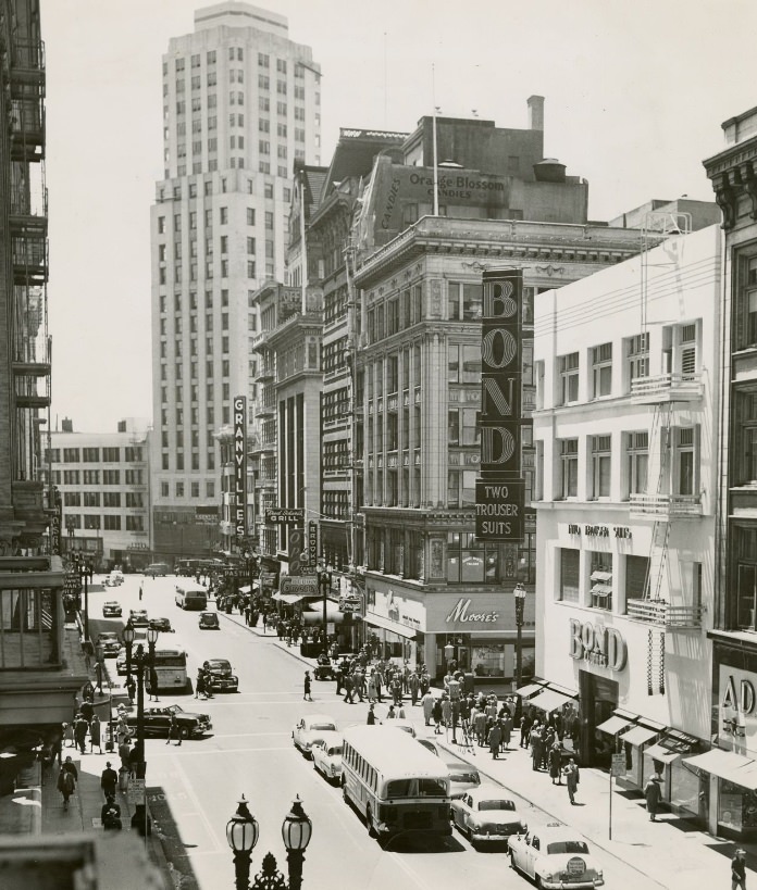
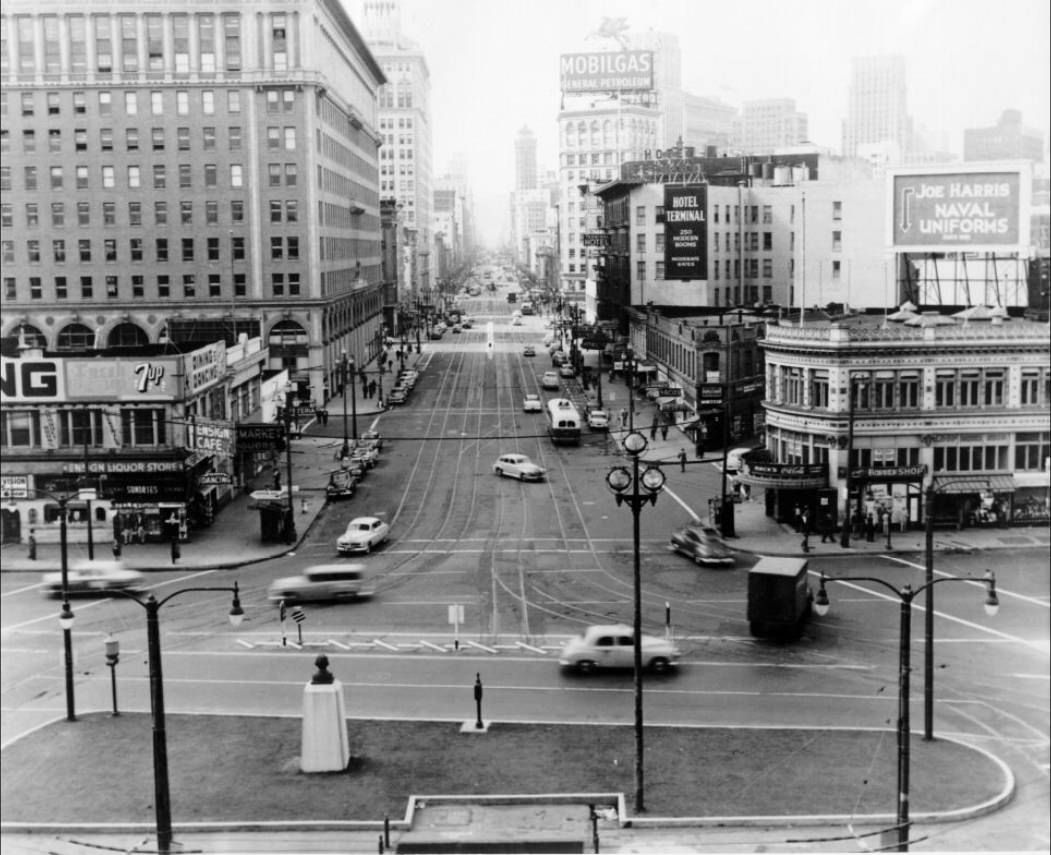
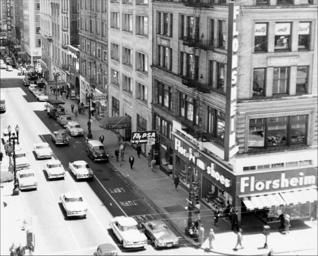
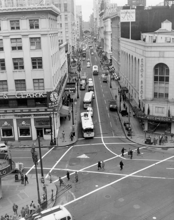
Market Street, circa 1950s.
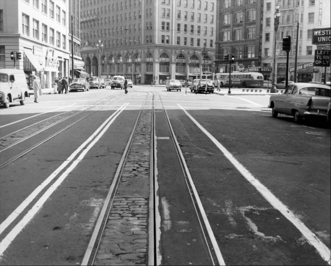
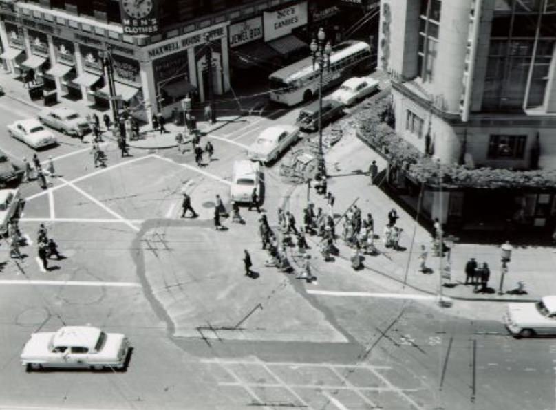
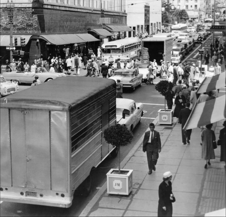
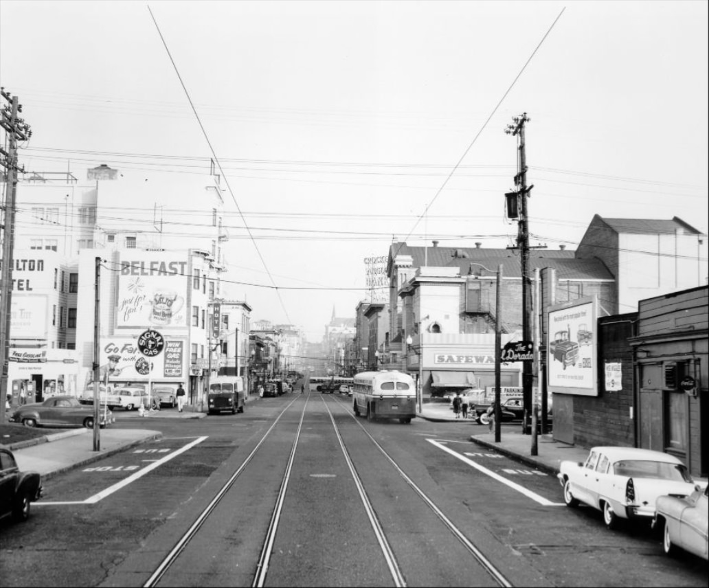
Market Street was the spine of the city. Streetcars rolled down its length throughout the day, connecting workers, shoppers, and commuters to every corner of San Francisco. The street was lined with storefronts, signs, and steady foot traffic that rarely thinned out. It served as a daily backdrop for commerce, transit, and city life all at once.
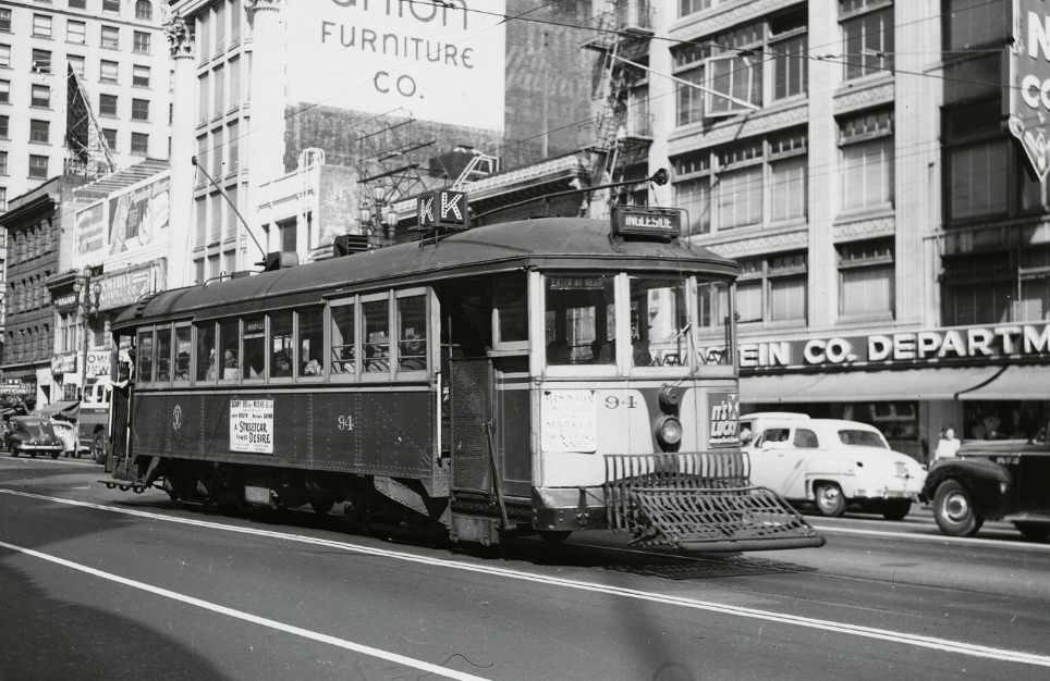
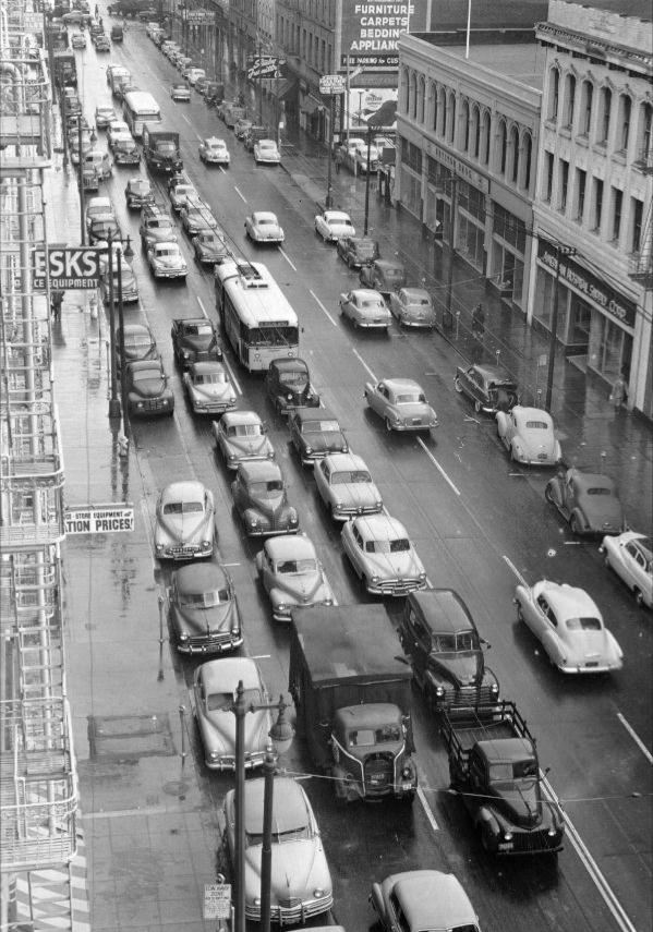
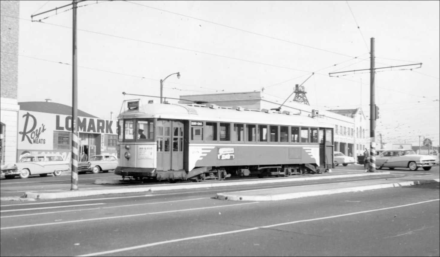
The K Ingleside Streetcar operating on Market Street, circa 1950s.
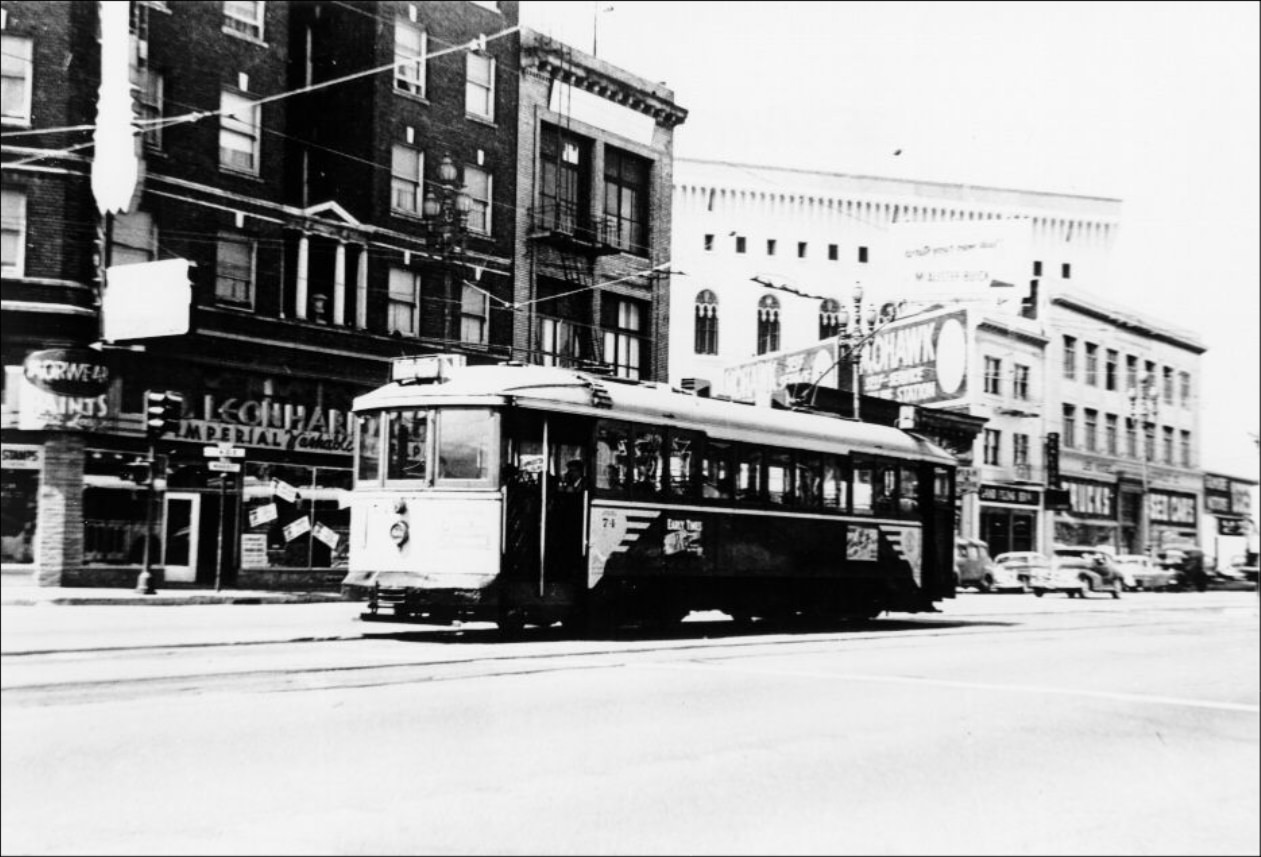
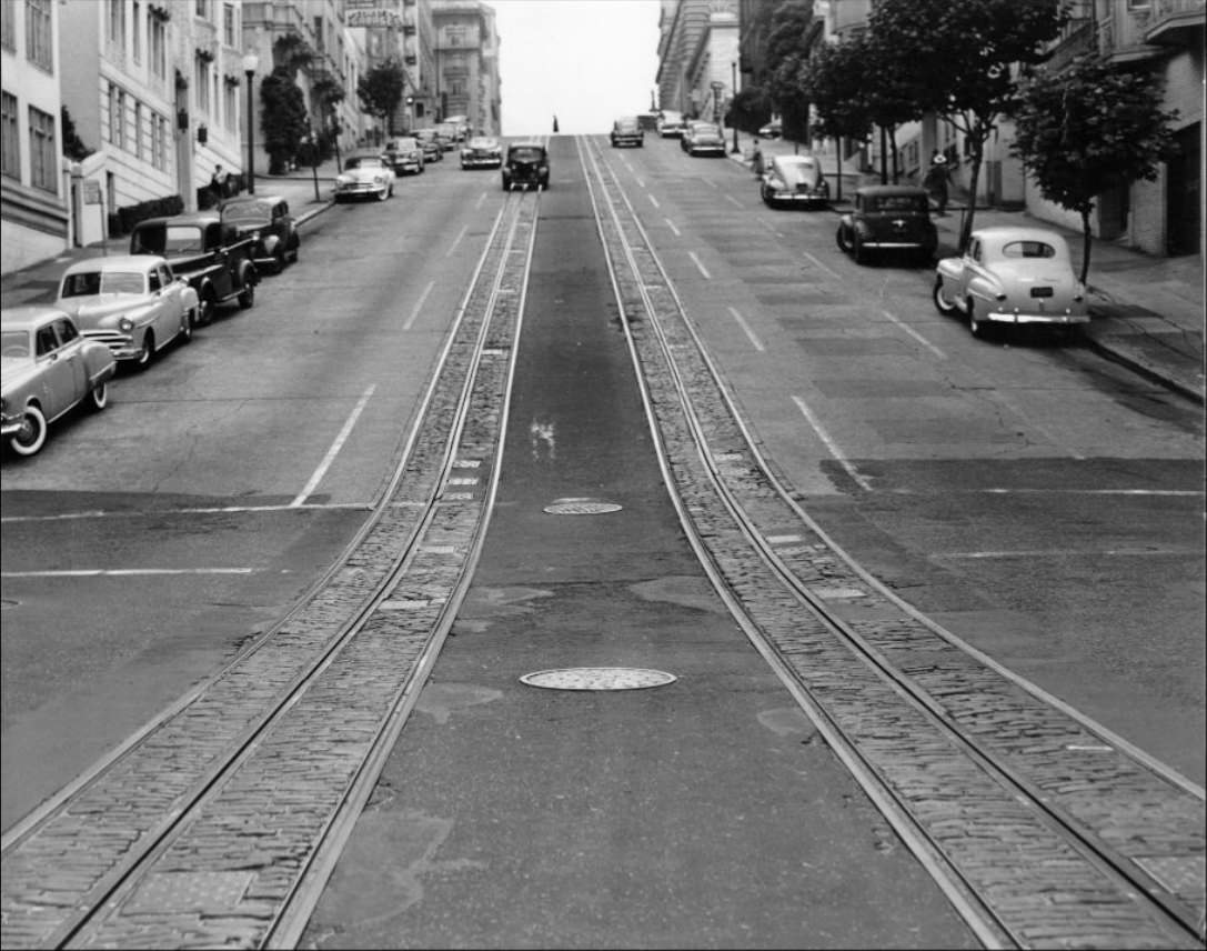
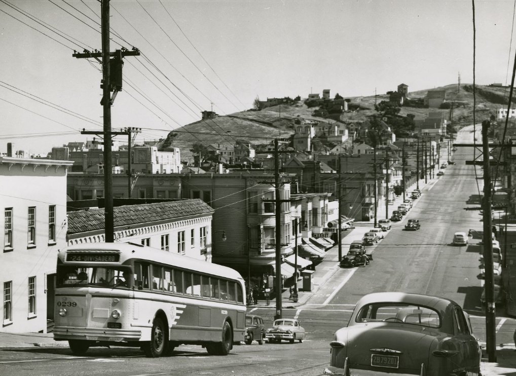
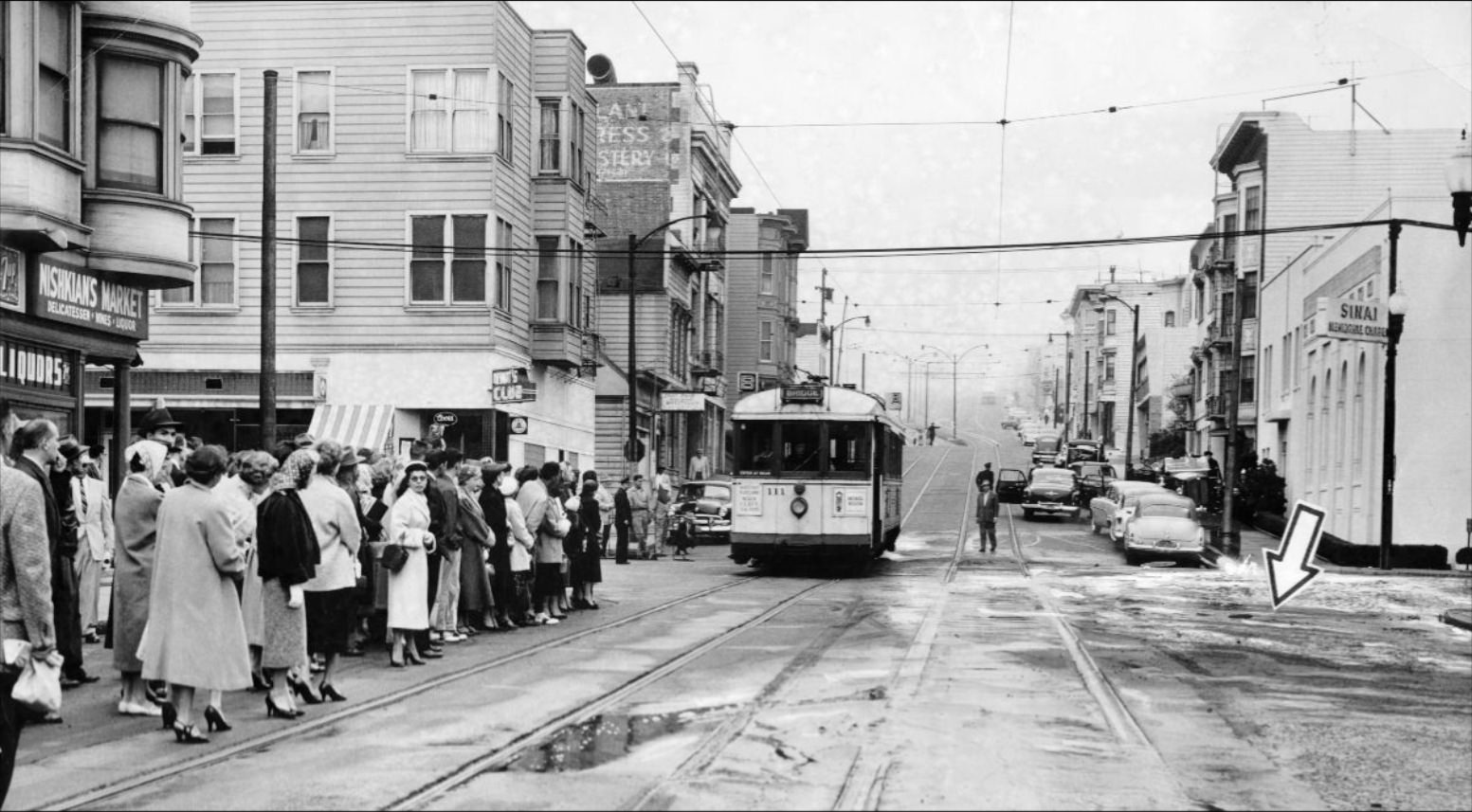
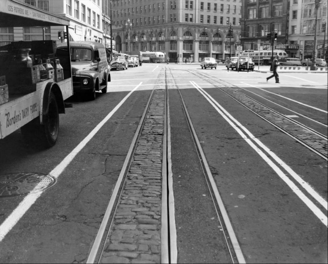
The public transit system was one of the city’s most defining features. Streetcars like the K Ingleside line ran fixed routes that gave residents reliable access to work and shopping without needing a car. Cable cars were just as important, especially on the steep hills that cars of the era struggled to climb. The transit network wasn’t just practical — it was woven into the texture of daily life.
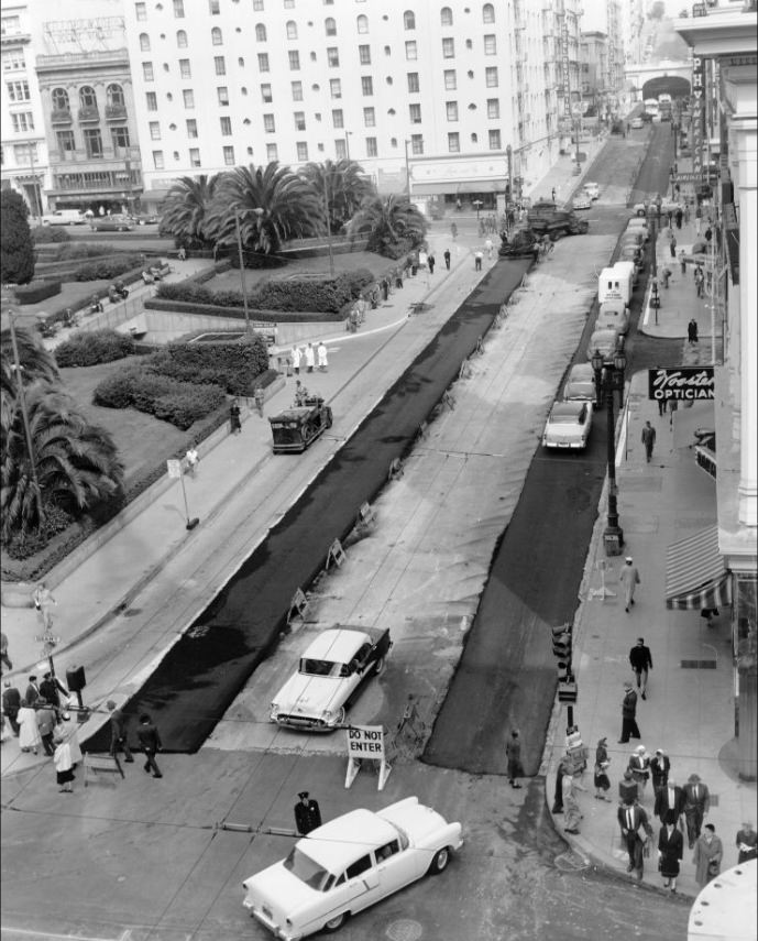
Streetcar on Market Street, circa 1950s.
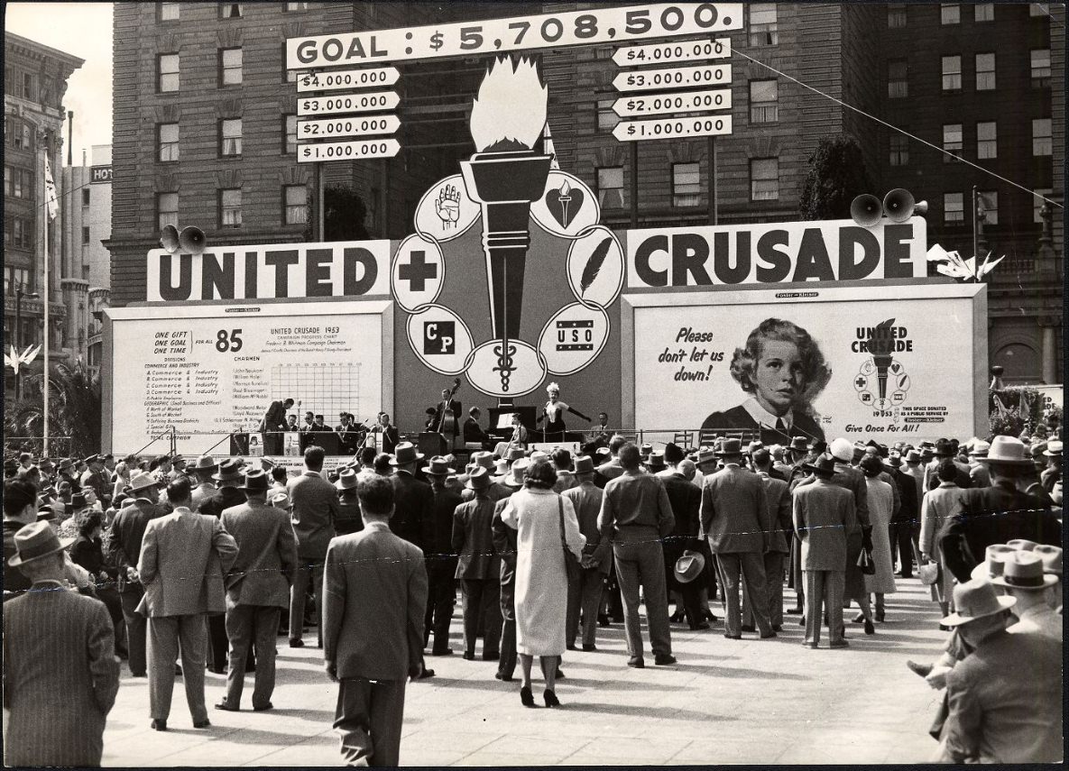
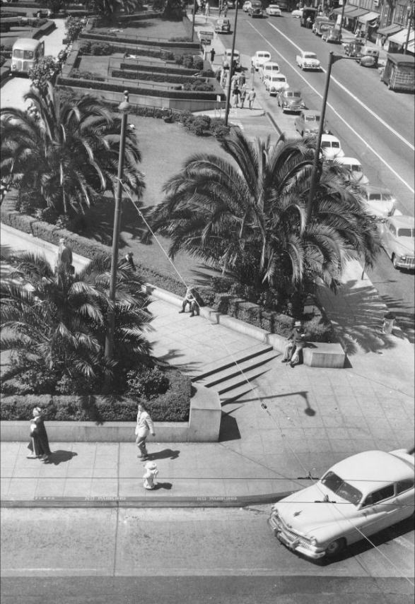
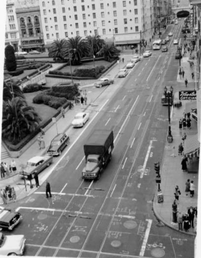
Union Square anchored the retail heart of the city. Department stores including Macy’s drew steady crowds, and smaller specialty shops filled in the blocks around them. The square itself hosted rallies, festivals, and public performances. It was the place where civic life and commercial life overlapped most visibly.
A United Crusade Rally in Union Square, 1952.
Union Square, 1953.
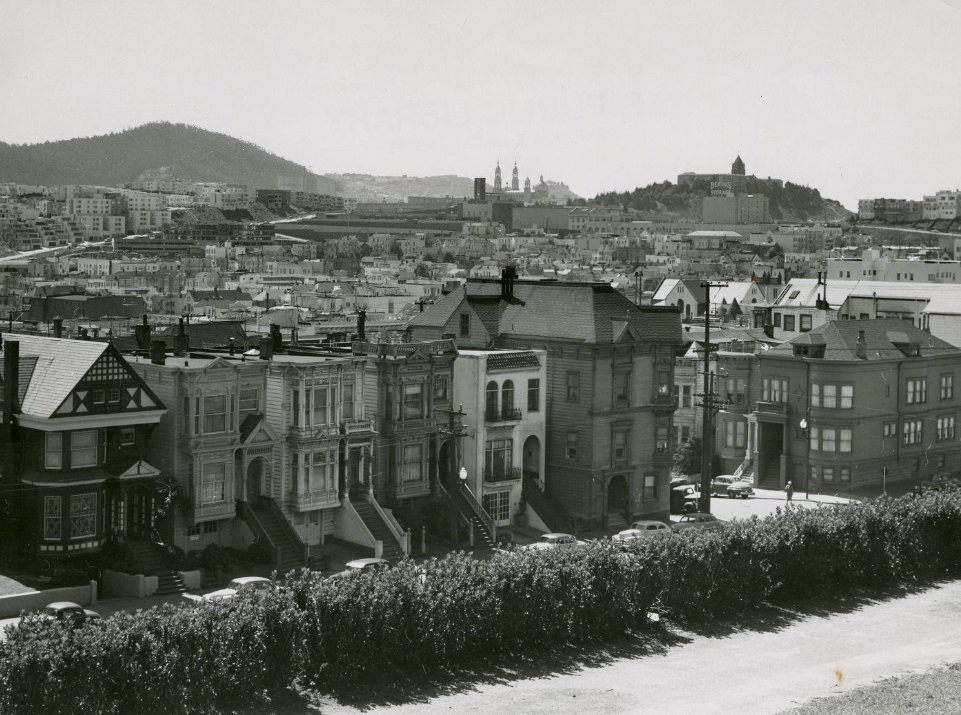
The city’s neighborhoods were growing fast to keep up with the influx of new residents. The Sunset District and Richmond District expanded outward with rows of new homes built in the Mid-century Modern style — flat or low-pitched roofs, large windows, and clean layouts designed to maximize function. Meanwhile, older neighborhoods like Haight-Ashbury held onto their Victorian-era homes, many of which were renovated during this same period.
View of homes in the Sunset district from 16th Avenue toward Golden Gate Park, circa 1950s.
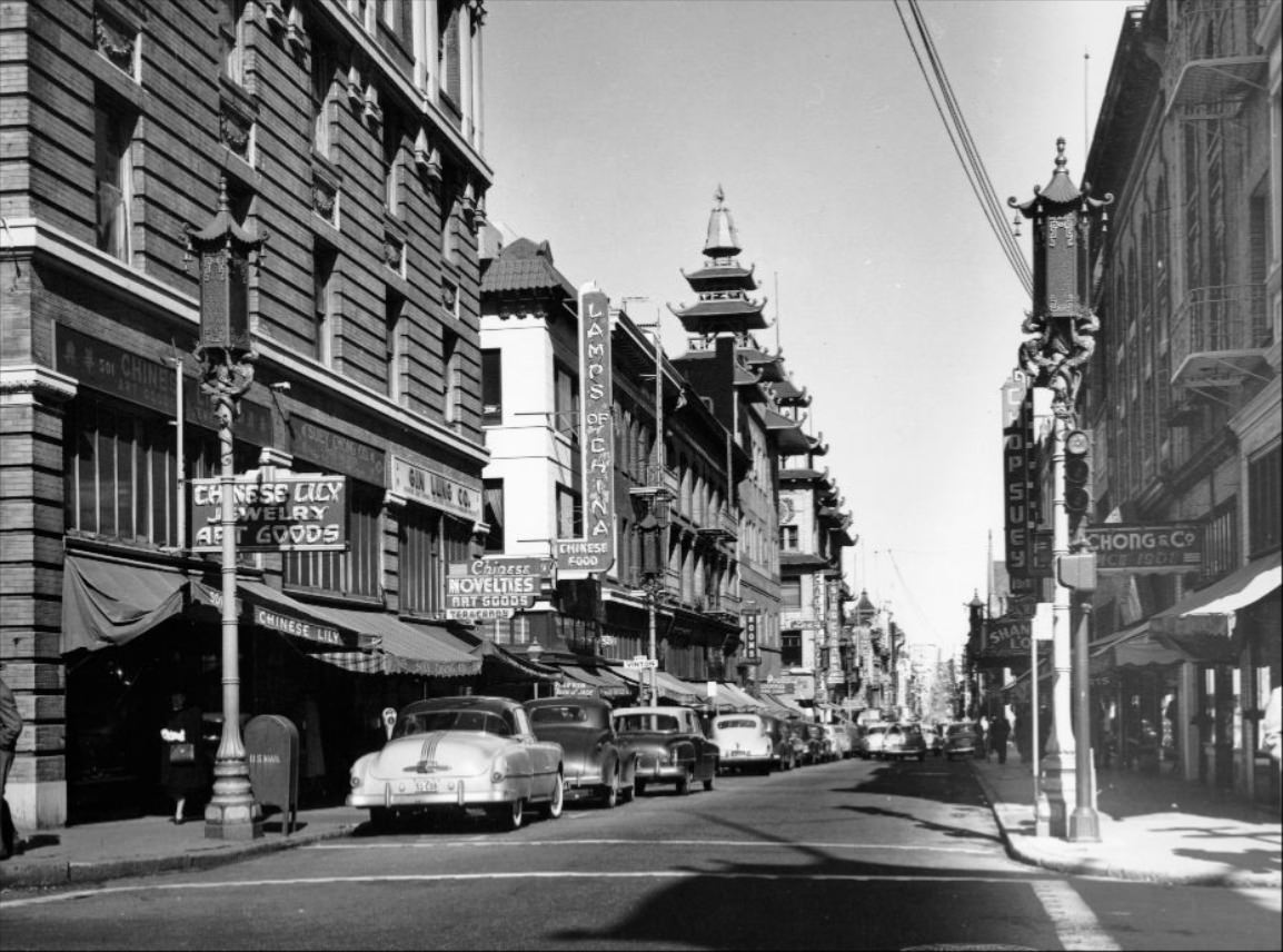
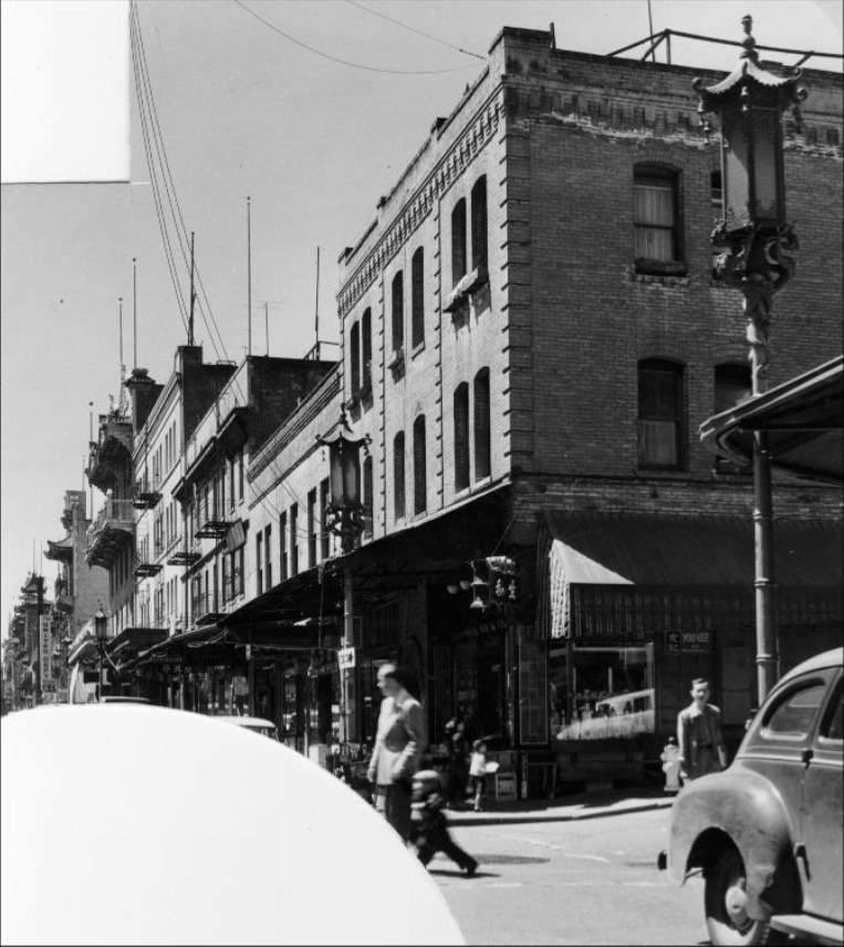
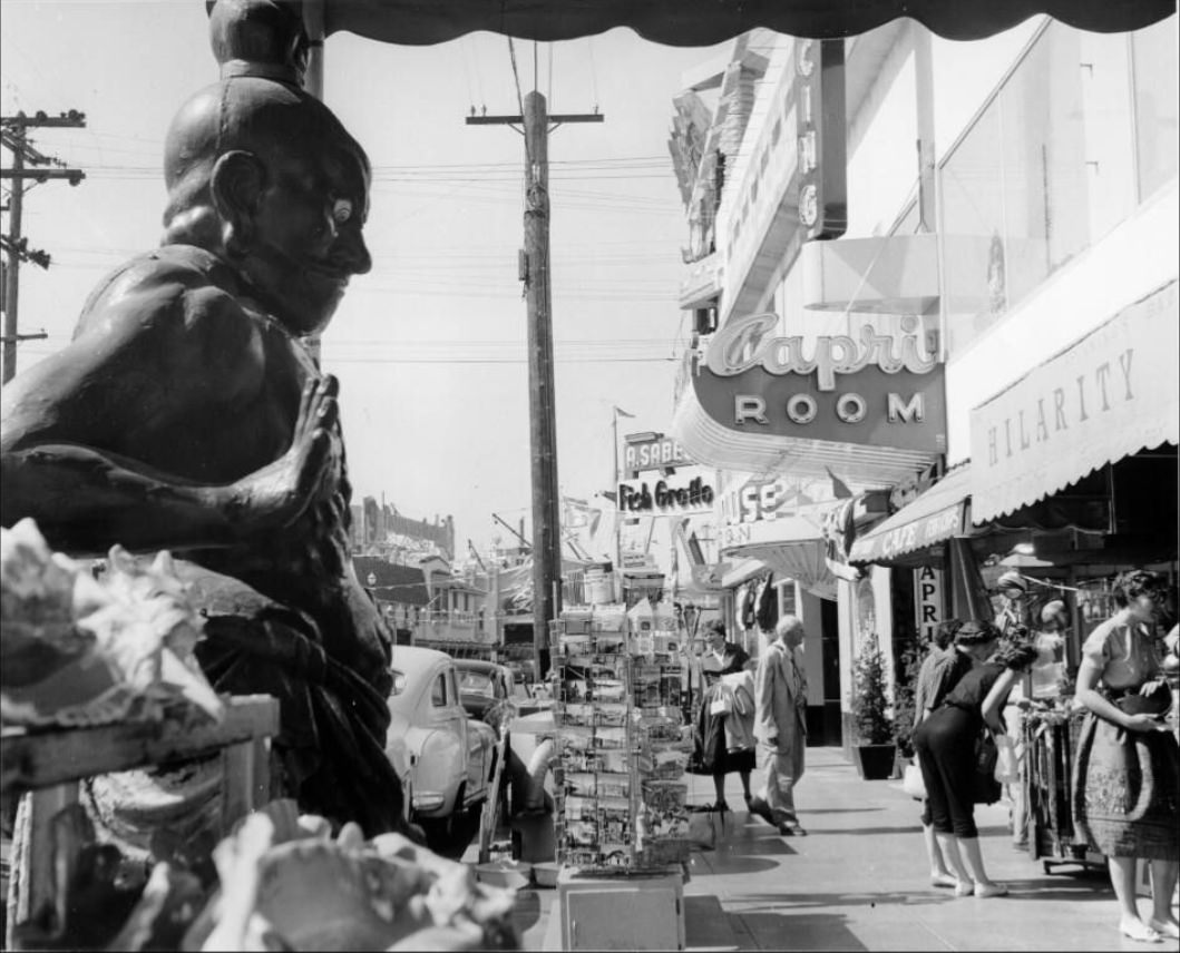
Chinatown remained one of the most distinct and densely populated neighborhoods in the city. Grant Avenue was its commercial core, lined with shops, restaurants, and cultural institutions. The neighborhood served as both a home base and a gathering point for San Francisco’s Chinese American community, and its streets were almost always busy.
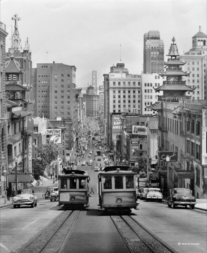
Chinatown from the intersection of Pine and Grant Avenue, circa 1950s.
Chinatown on Grant Avenue, 1952.
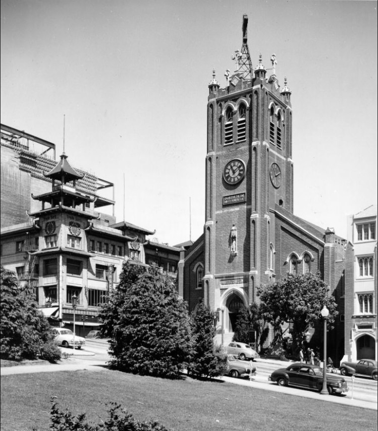
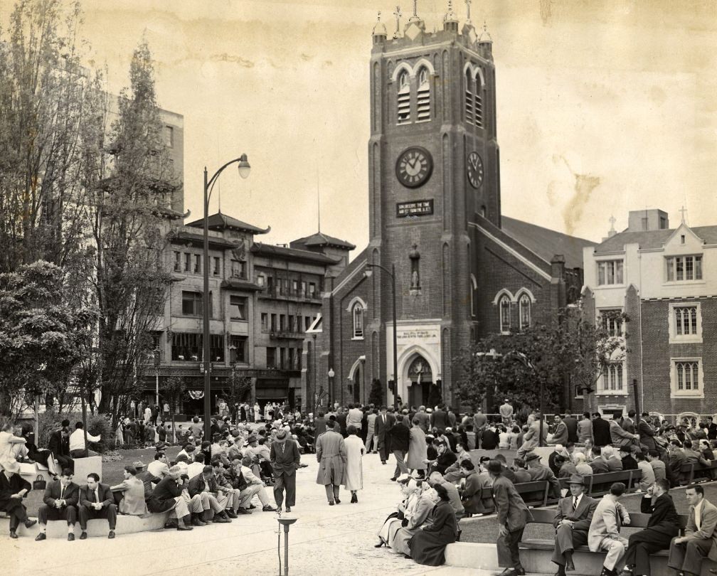
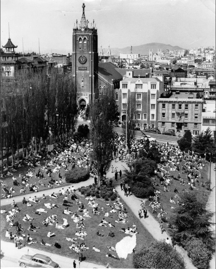
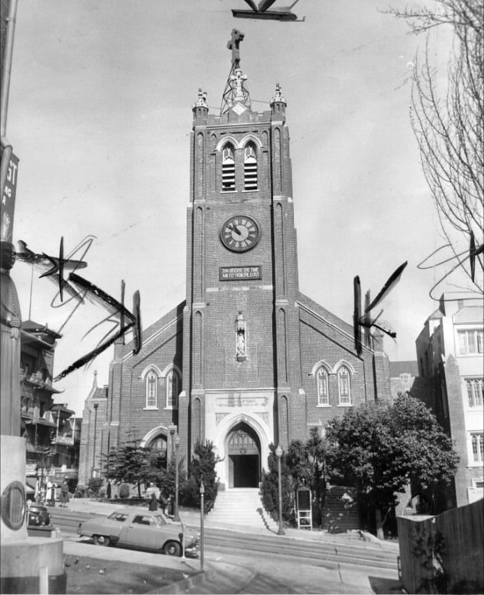
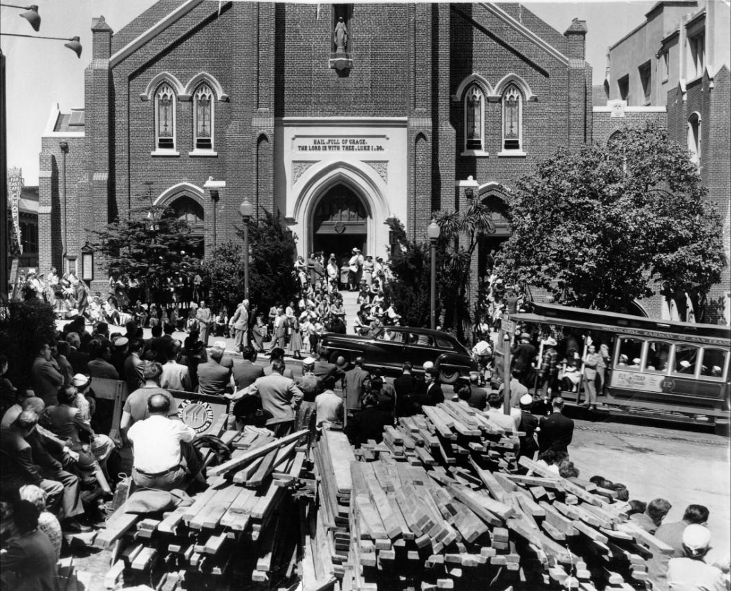
Old St. Mary’s Church stood as one of the oldest Catholic churches in California, and it drew regular worshippers from all over the city. Its presence near Chinatown made the surrounding blocks a mix of cultural and religious life that was uniquely San Franciscan. On Good Friday especially, large crowds gathered at its steps for services.
Old St. Mary’s Church and a Chinese pagoda, circa 1957.
Worshippers entering Old St. Mary’s Church for Good Friday services, 1956.
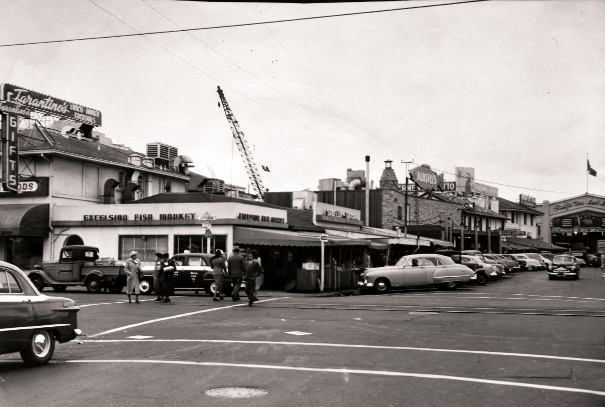
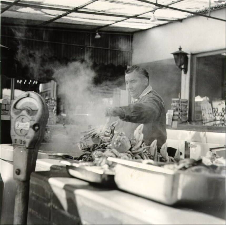
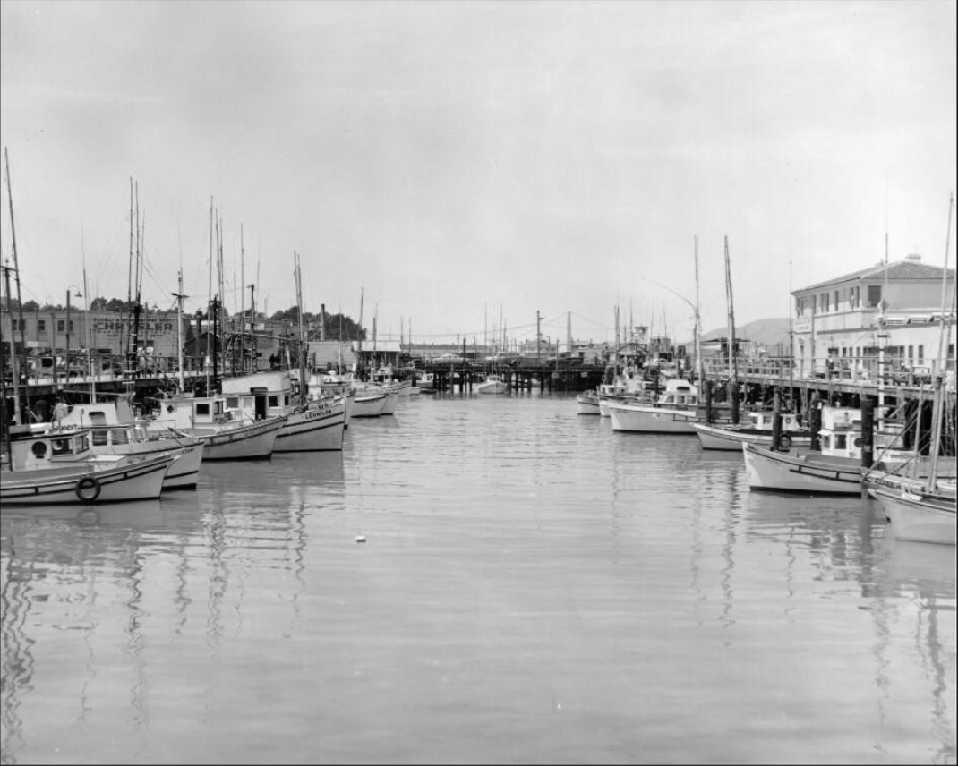
Fisherman’s Wharf was a functioning working waterfront as much as it was a destination. Fishing boats brought in their daily hauls, crab stands lined the sidewalks, and the smell of fresh seafood was a constant. Locals and visitors alike came here regularly. The wharf had a working-class character that wouldn’t fully give way to tourism for another decade or more.
Fisherman’s Wharf, 1951.
A crab stand at Fisherman’s Wharf, 1958.
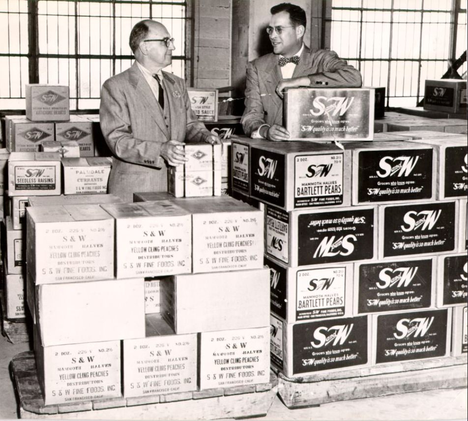
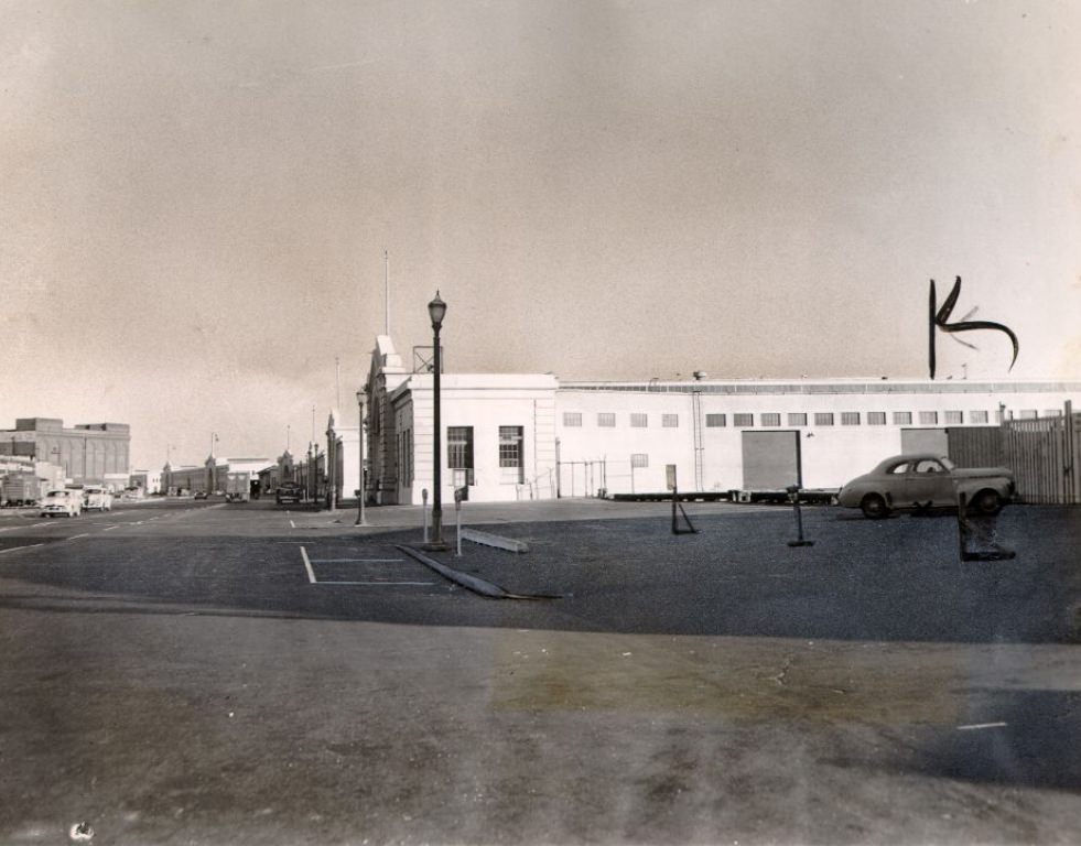
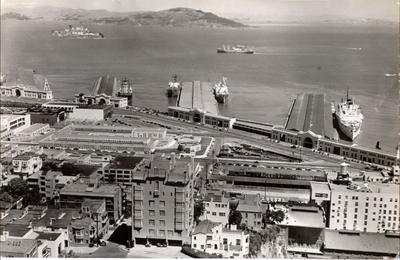
The city’s waterfront extended far beyond the wharf. The San Francisco port was one of the busiest in the nation, with cargo piers operating constantly. Longshoremen loaded and unloaded ships around the clock, and the produce district nearby received truckloads of goods each morning before the rest of the city was awake. Disputes between workers and management occasionally led to action — a one-day protest by longshoremen on the Embarcadero in 1952 showed that labor tensions hadn’t disappeared with the postwar boom.
James L. Roney and Joseph Blumlein inspect a shipment at the San Francisco waterfront, 1950.
Embarcadero during a one-day protest by longshoremen, 1952.
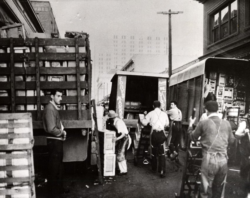
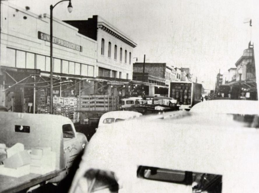
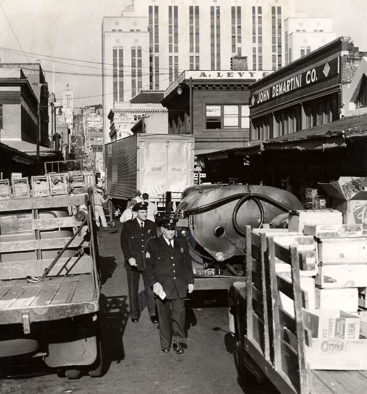
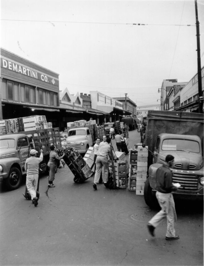
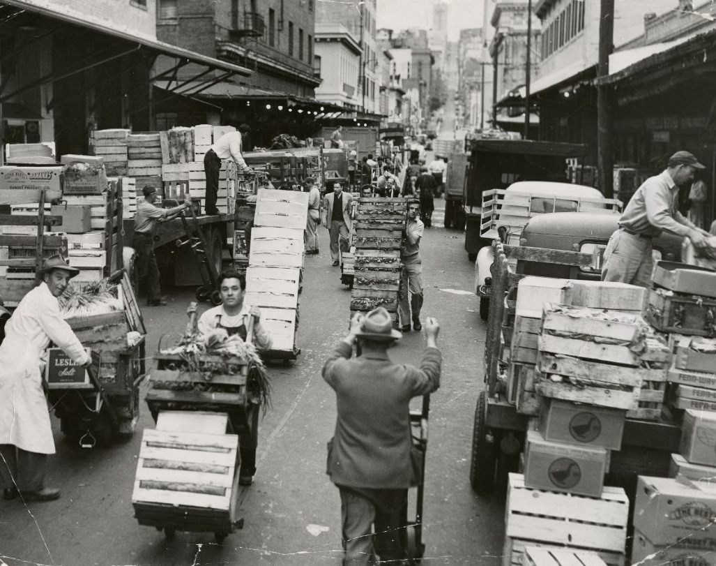
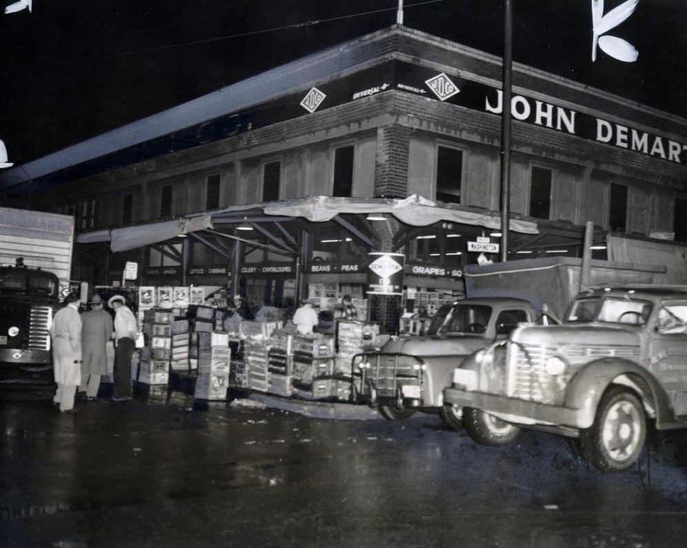
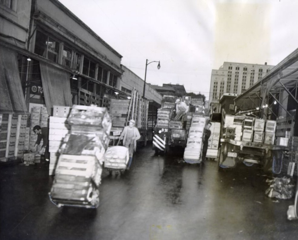
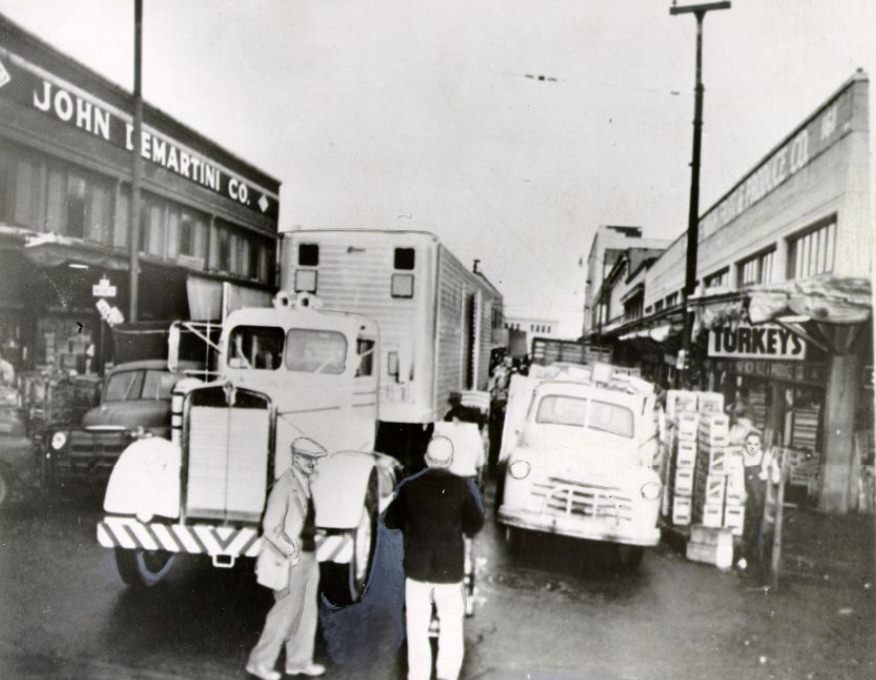
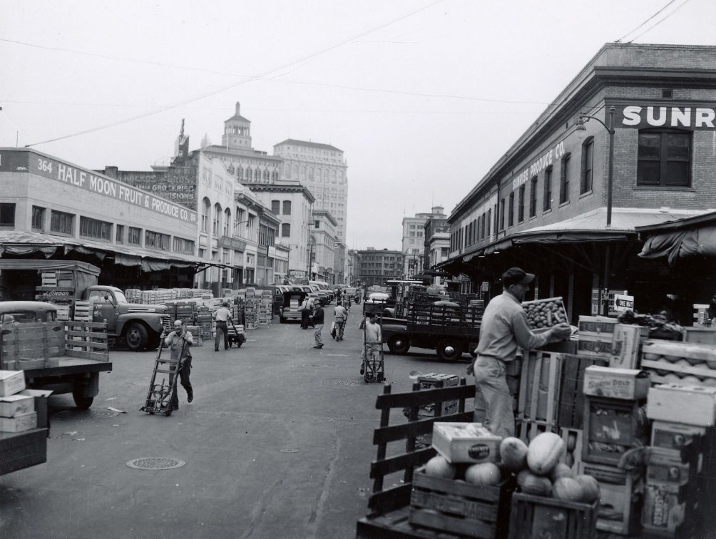
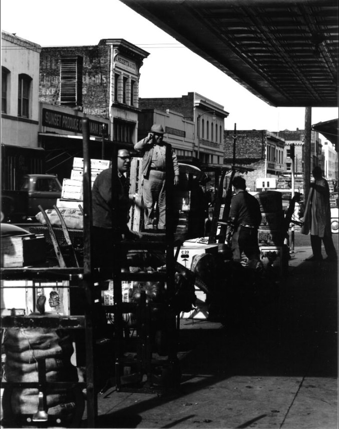
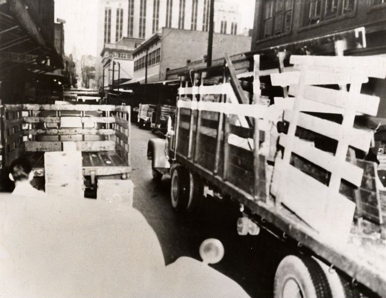
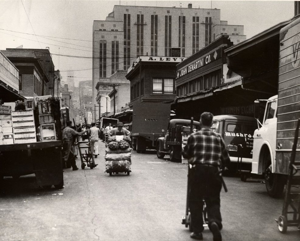
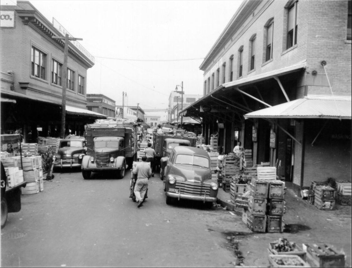
The produce district on Washington Street was its own world. Before dawn, delivery trucks packed the streets with fresh fruits and vegetables headed for markets, restaurants, and shops across the city. The narrow streets became nearly impassable during peak delivery hours. Police regularly issued tickets to drivers who blocked crosswalks or parked illegally, though the congestion proved difficult to contain.
Delivery trucks being unloaded at the Commission District produce market, 1956.
Streets outside the Commission District produce market congested, 1956.
Police issuing tickets to delivery trucks on Washington Street, 1956.
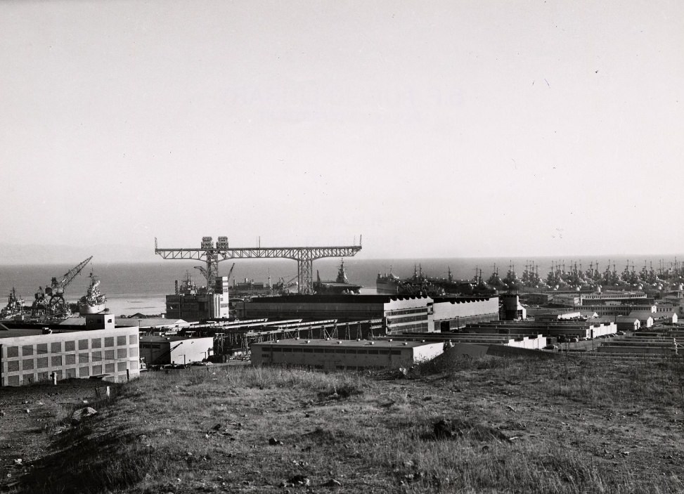
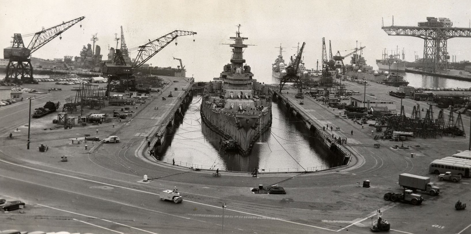
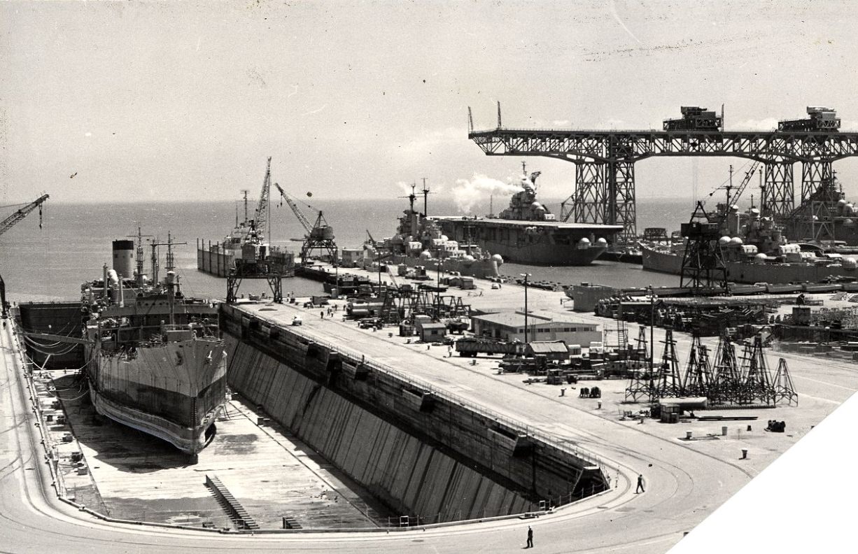
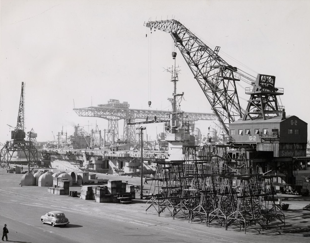
The Hunters Point Naval Shipyard was a major employer on the southeastern edge of the city. It had been a critical facility during World War II and remained active well into the 1950s. Its massive crane — reputedly the largest in the world at the time — towered over the facility and was visible from considerable distance. Navy vessels of all sizes came through for maintenance and repair, and hundreds of civilian workers kept the yard running.
The Hunters Point Naval Shipyard featuring the world’s largest crane, circa 1957.
The U.S.S. Iowa in drydock at Hunters Point, 1951.
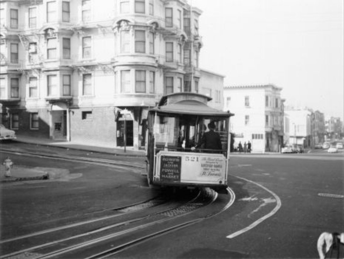
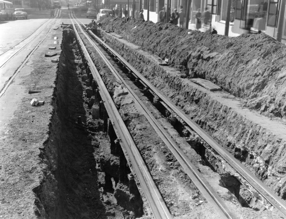
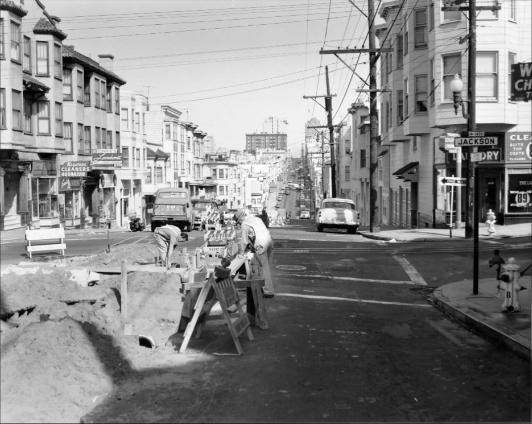
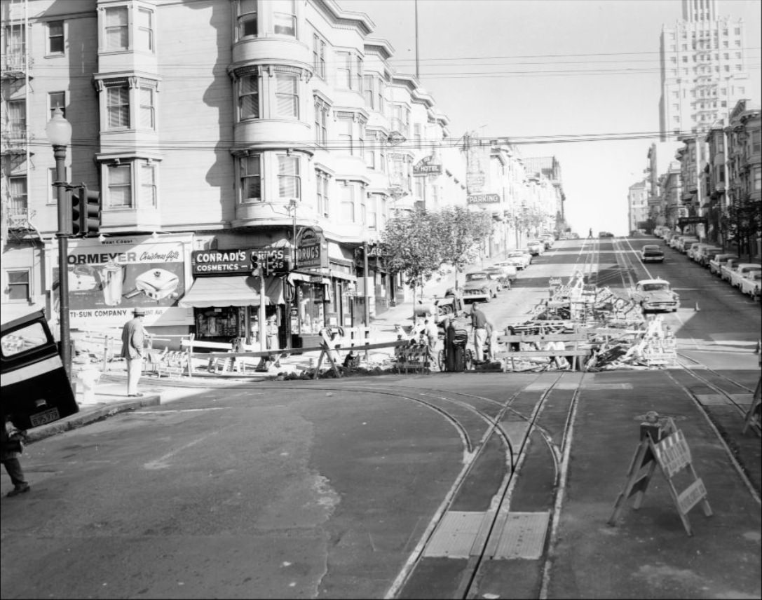
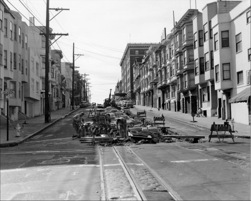
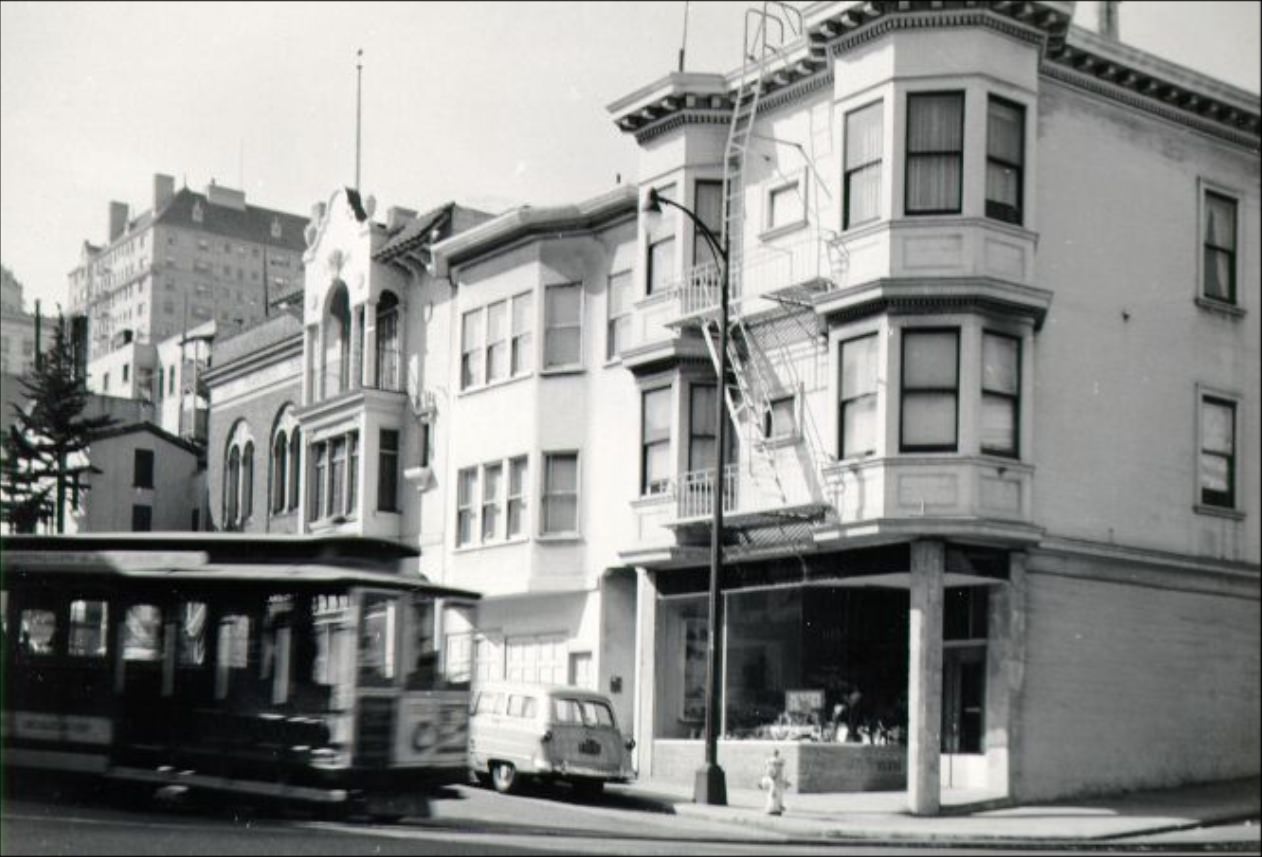
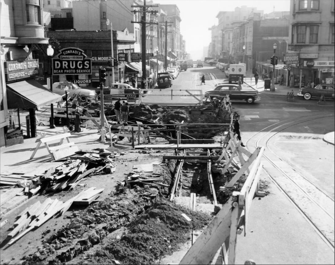
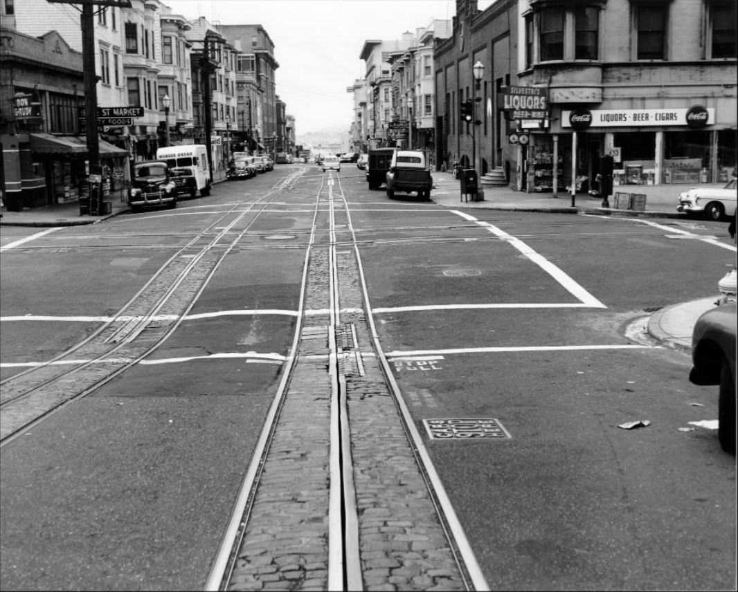
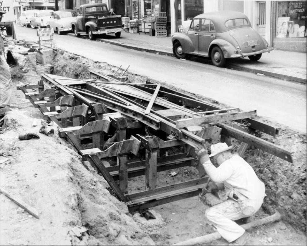
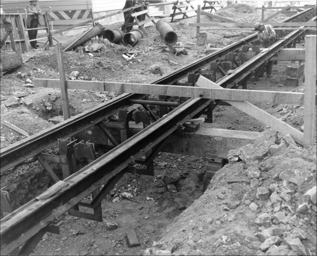
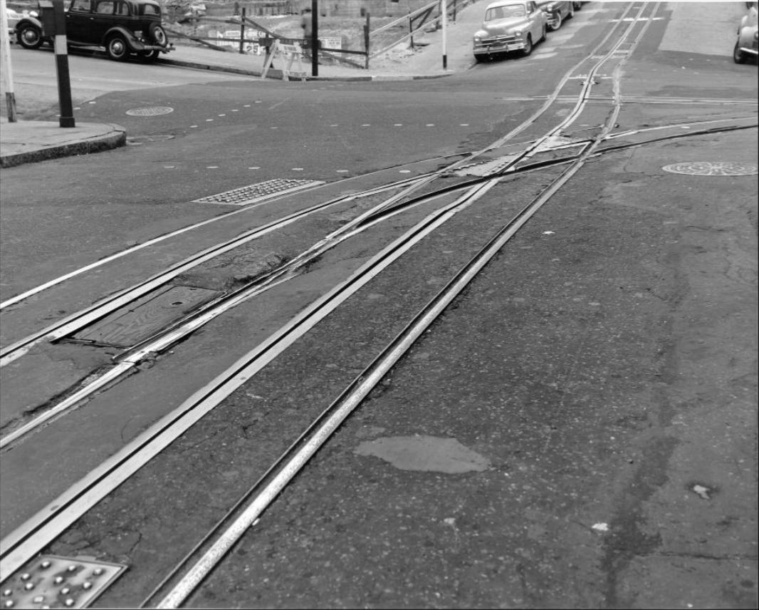
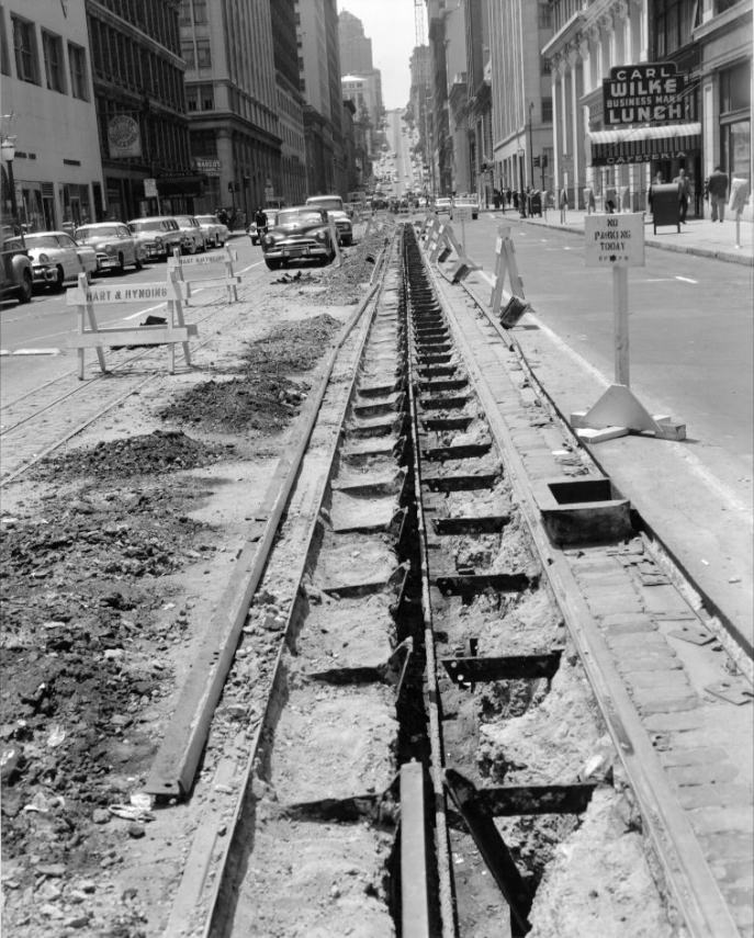
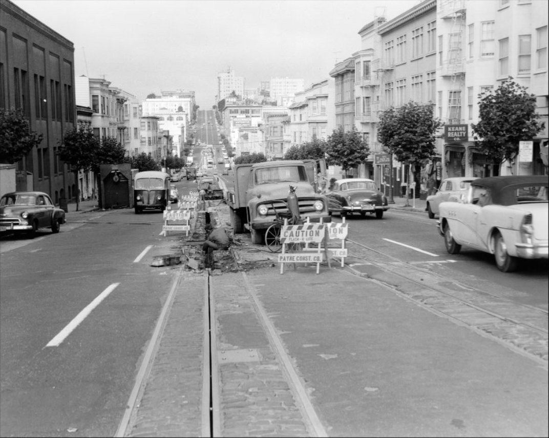
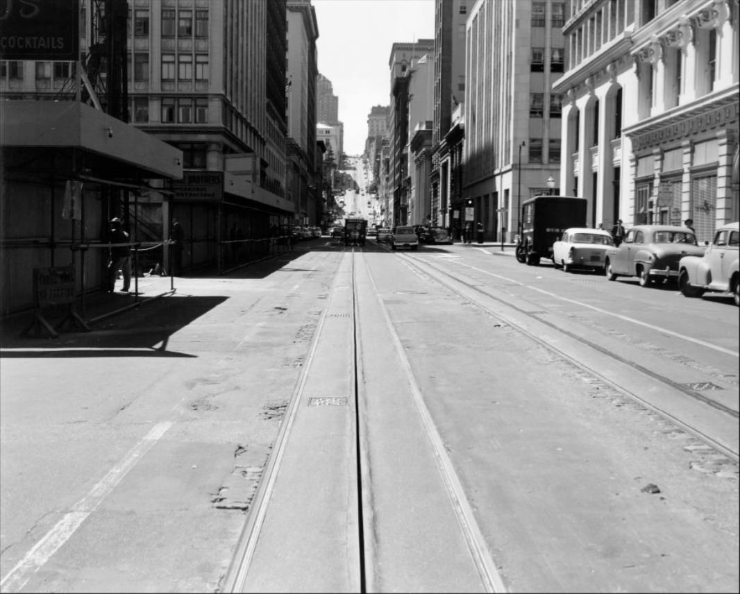
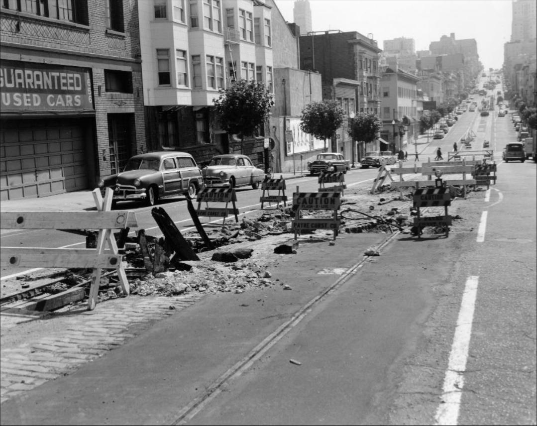
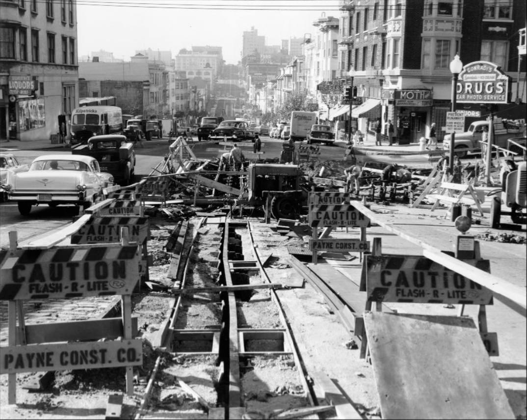
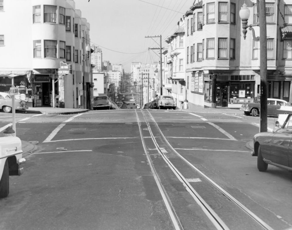
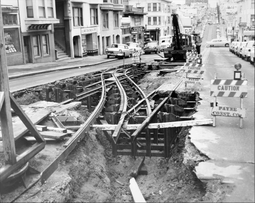
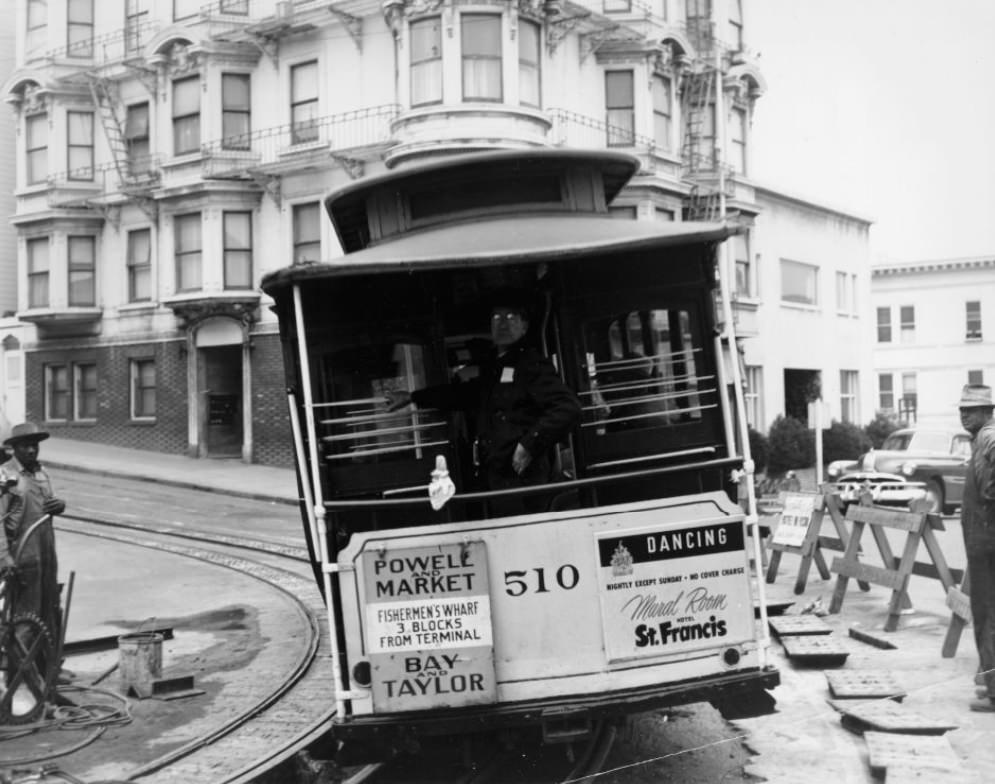
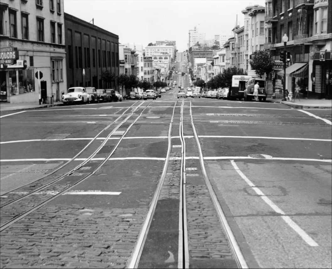
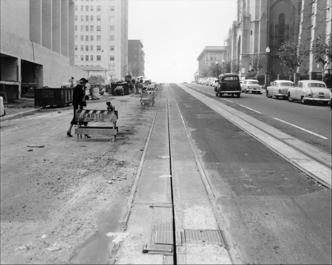
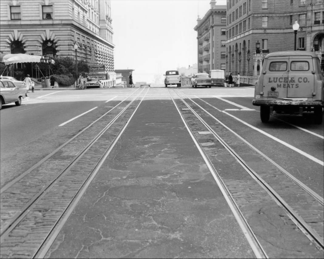
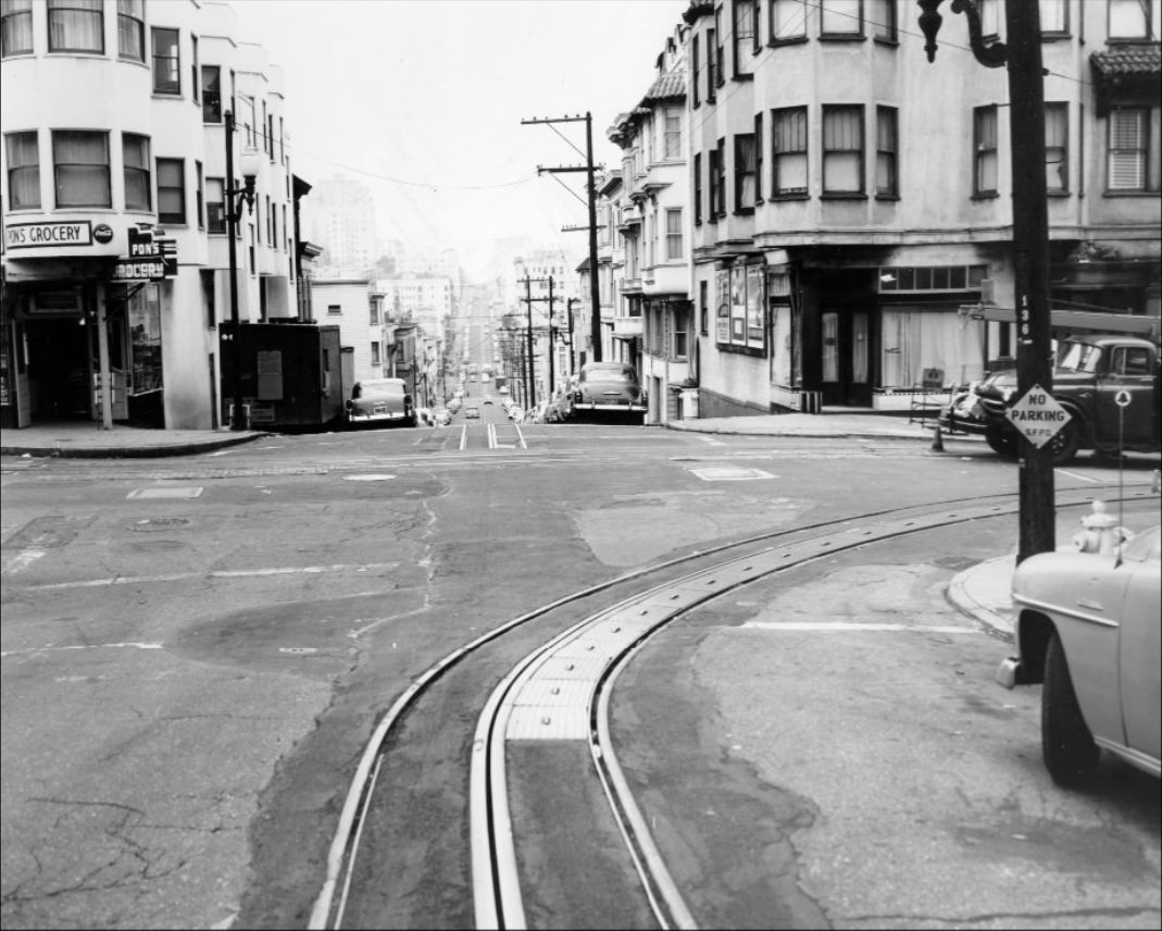
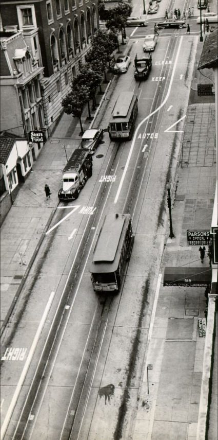
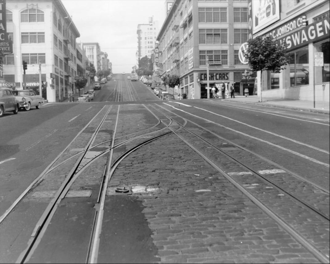
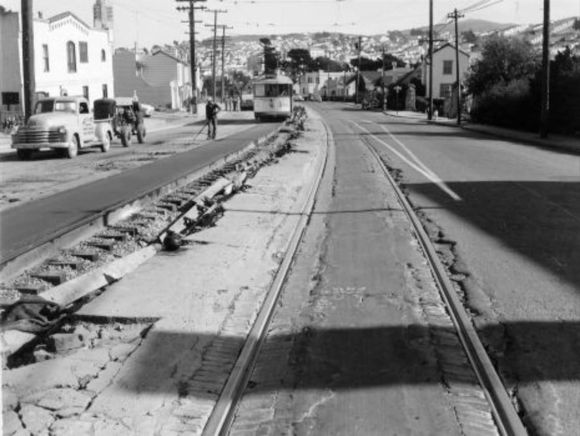
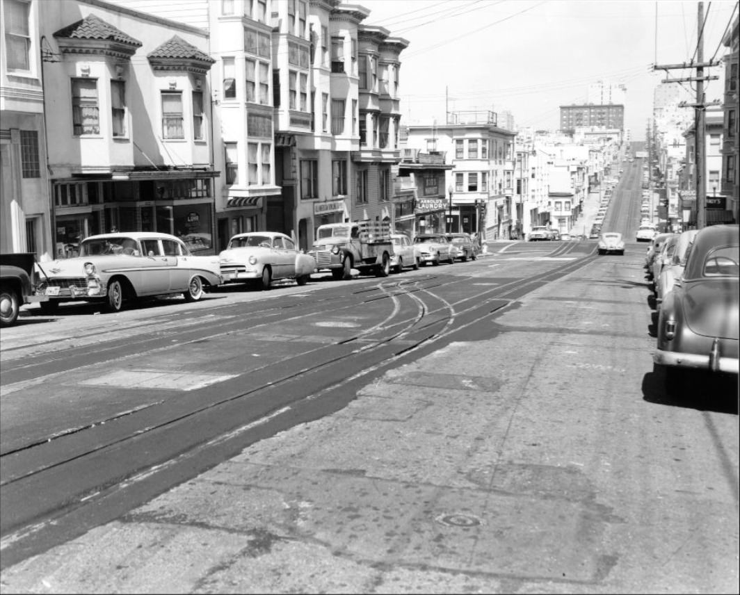
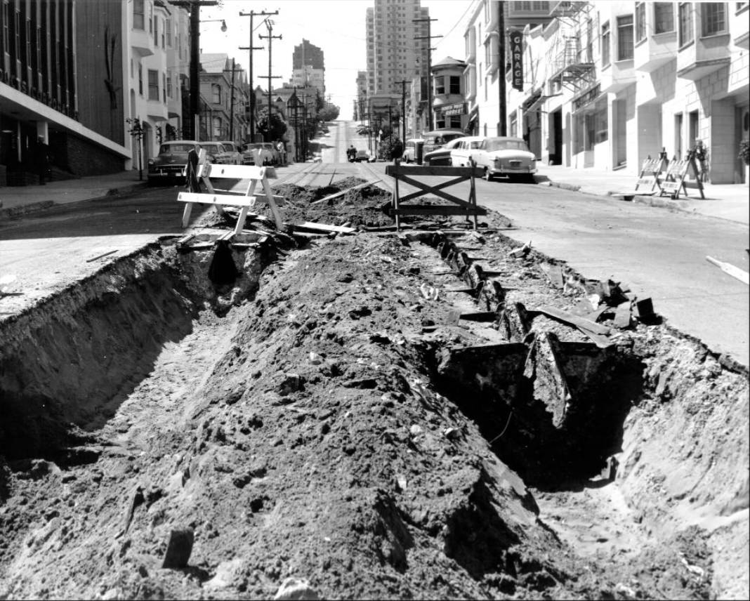
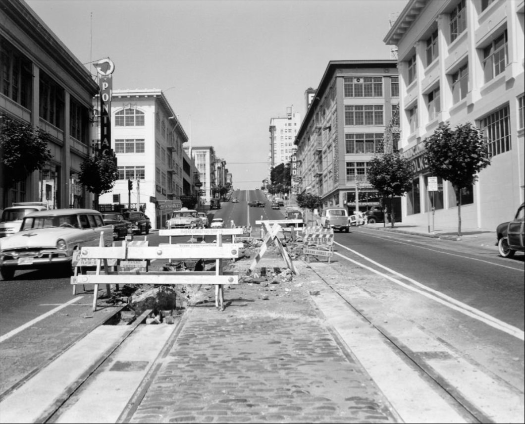
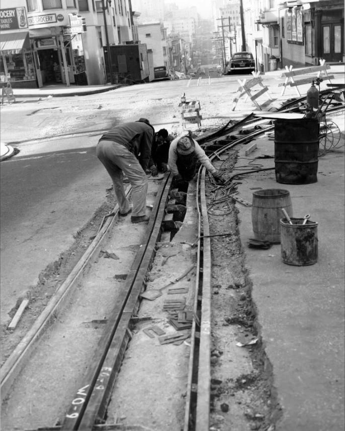
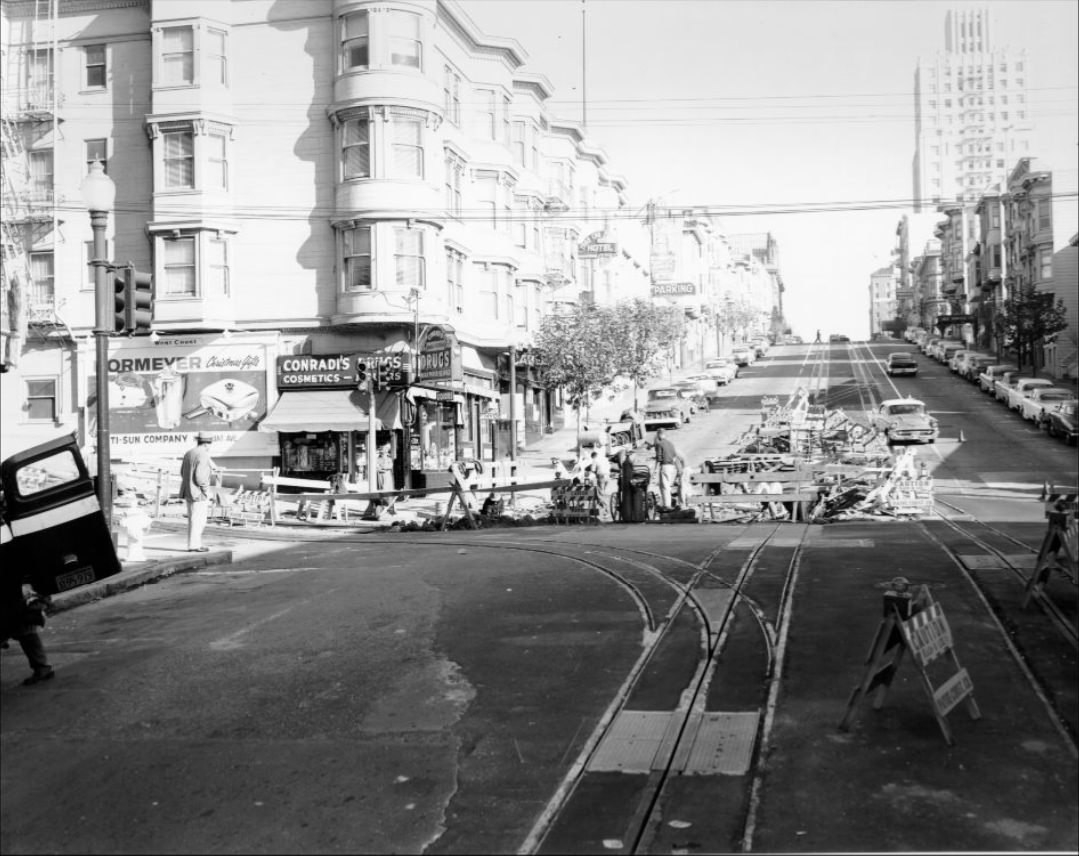
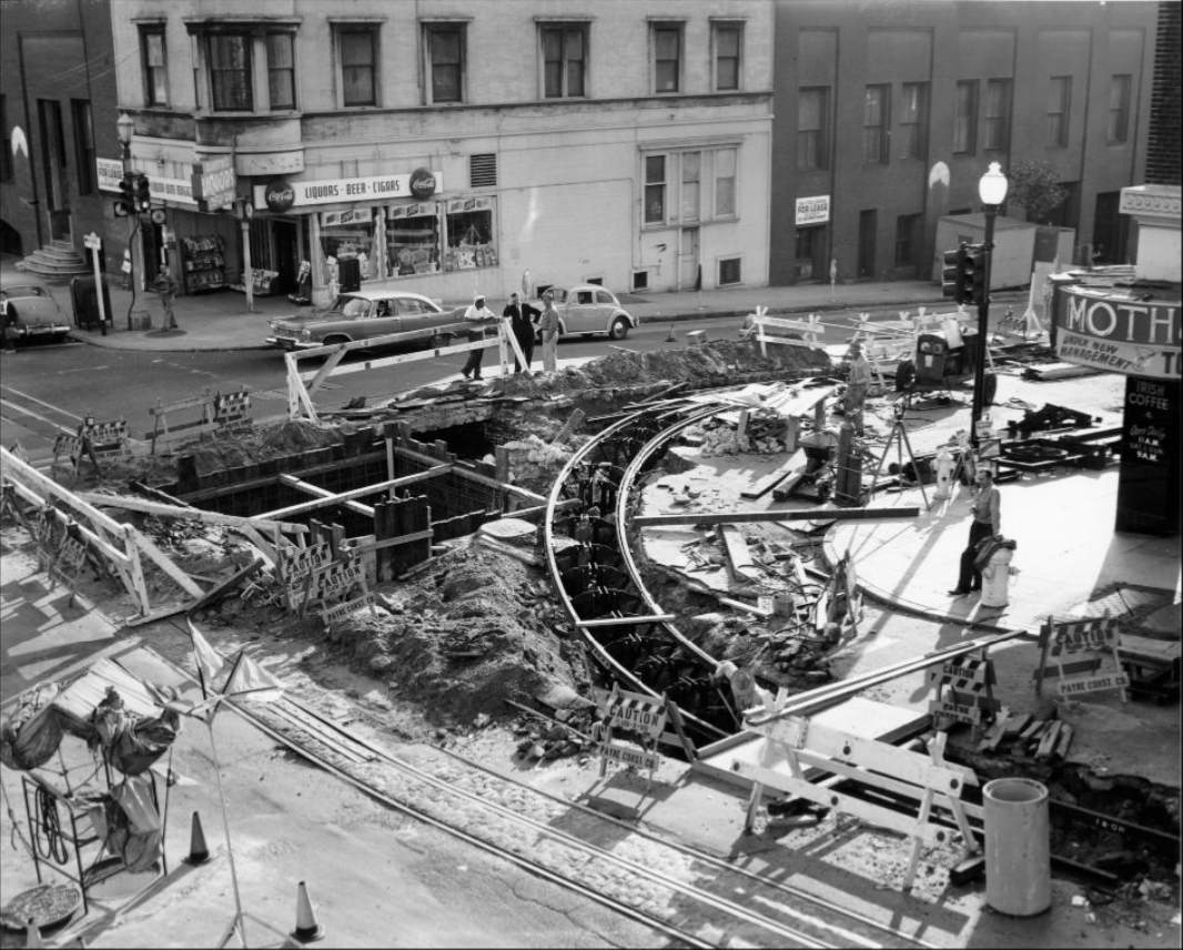
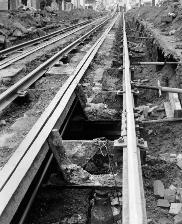
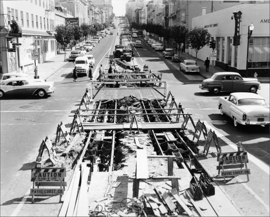
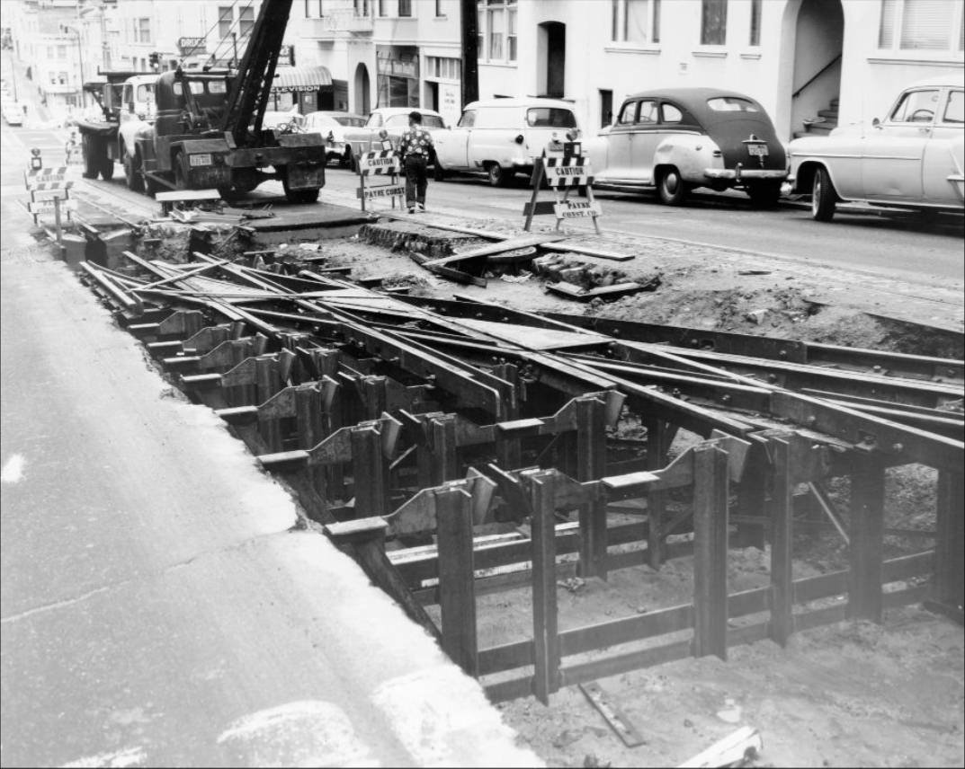
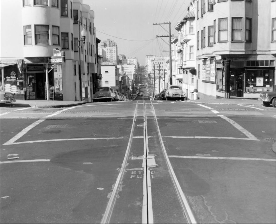
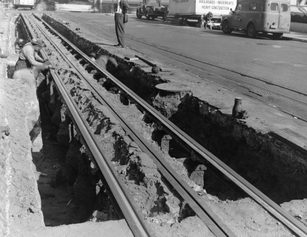
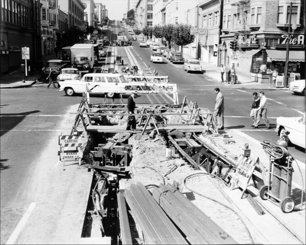
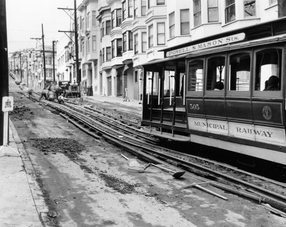
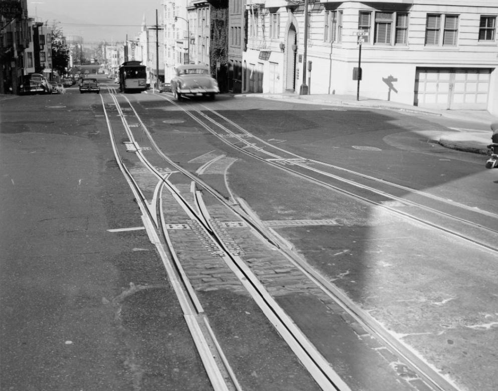
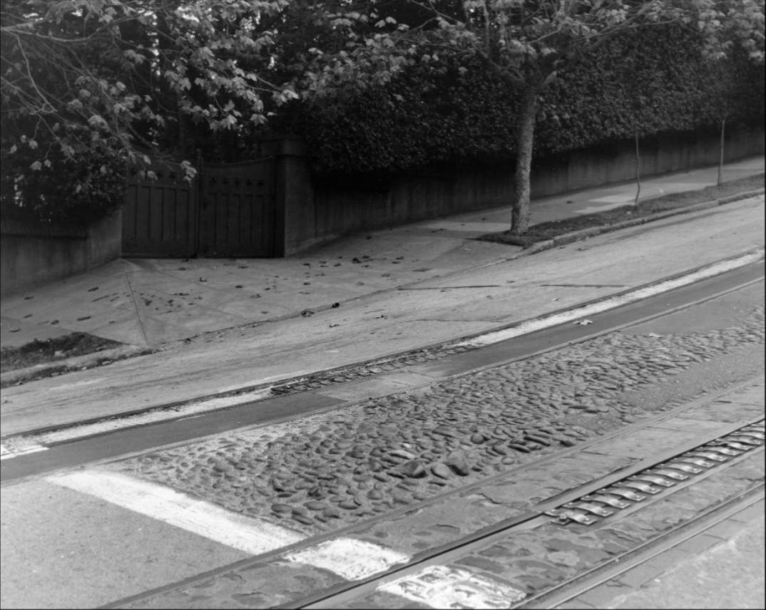
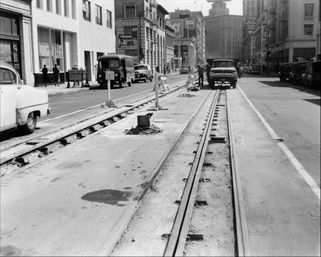
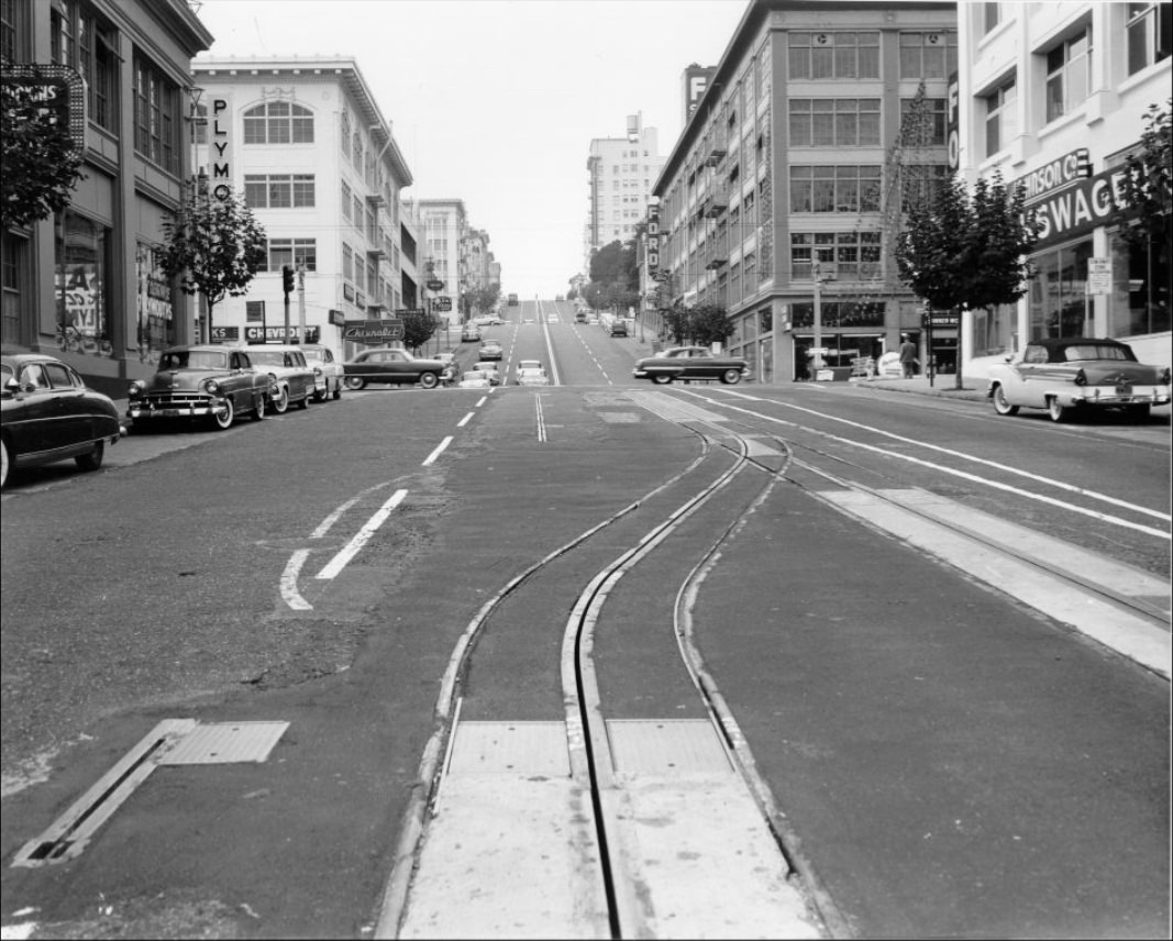
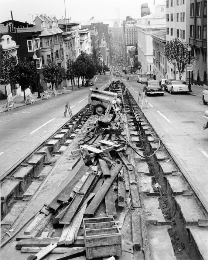
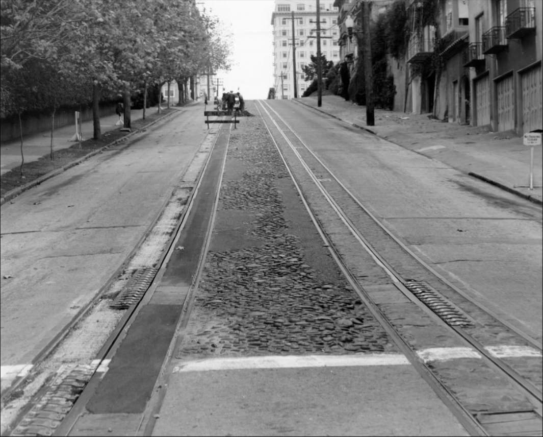
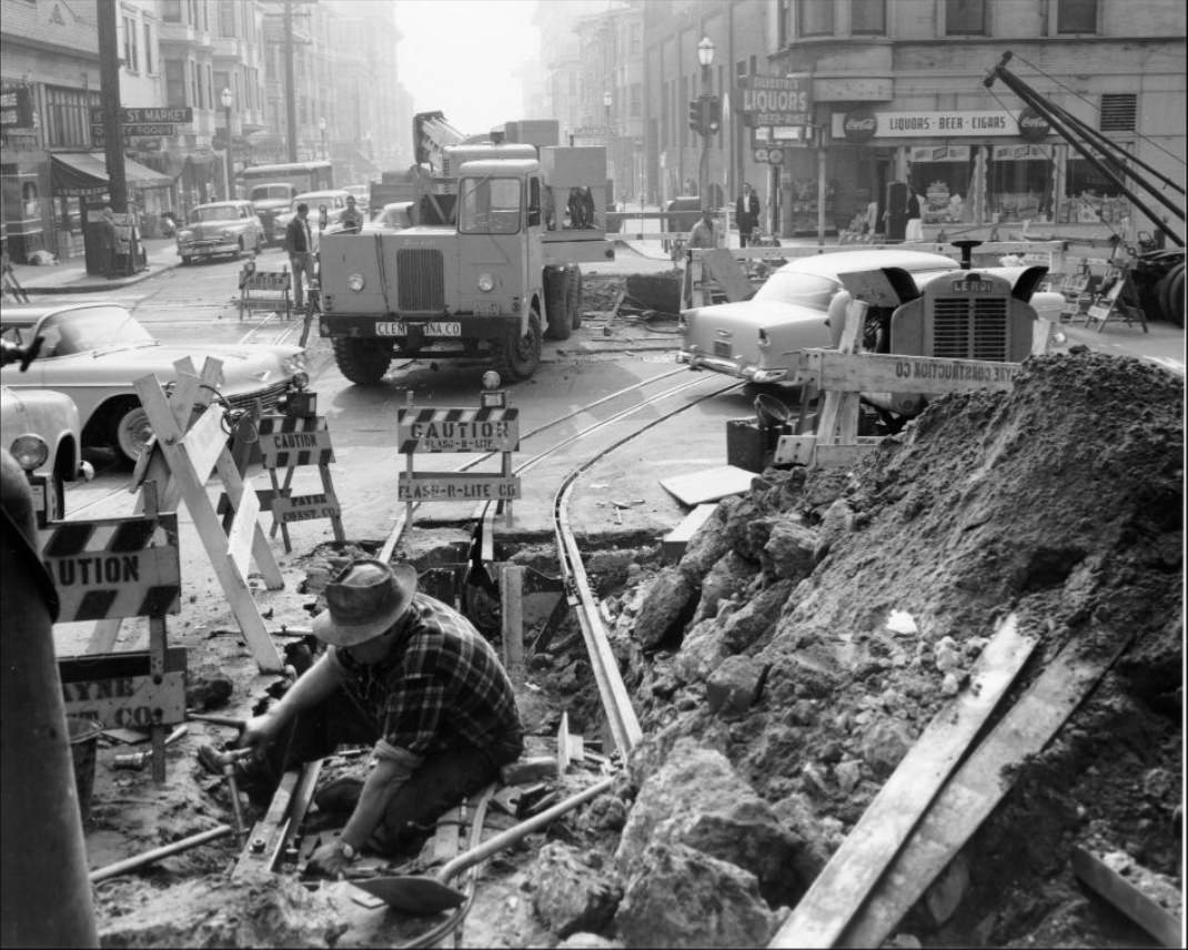
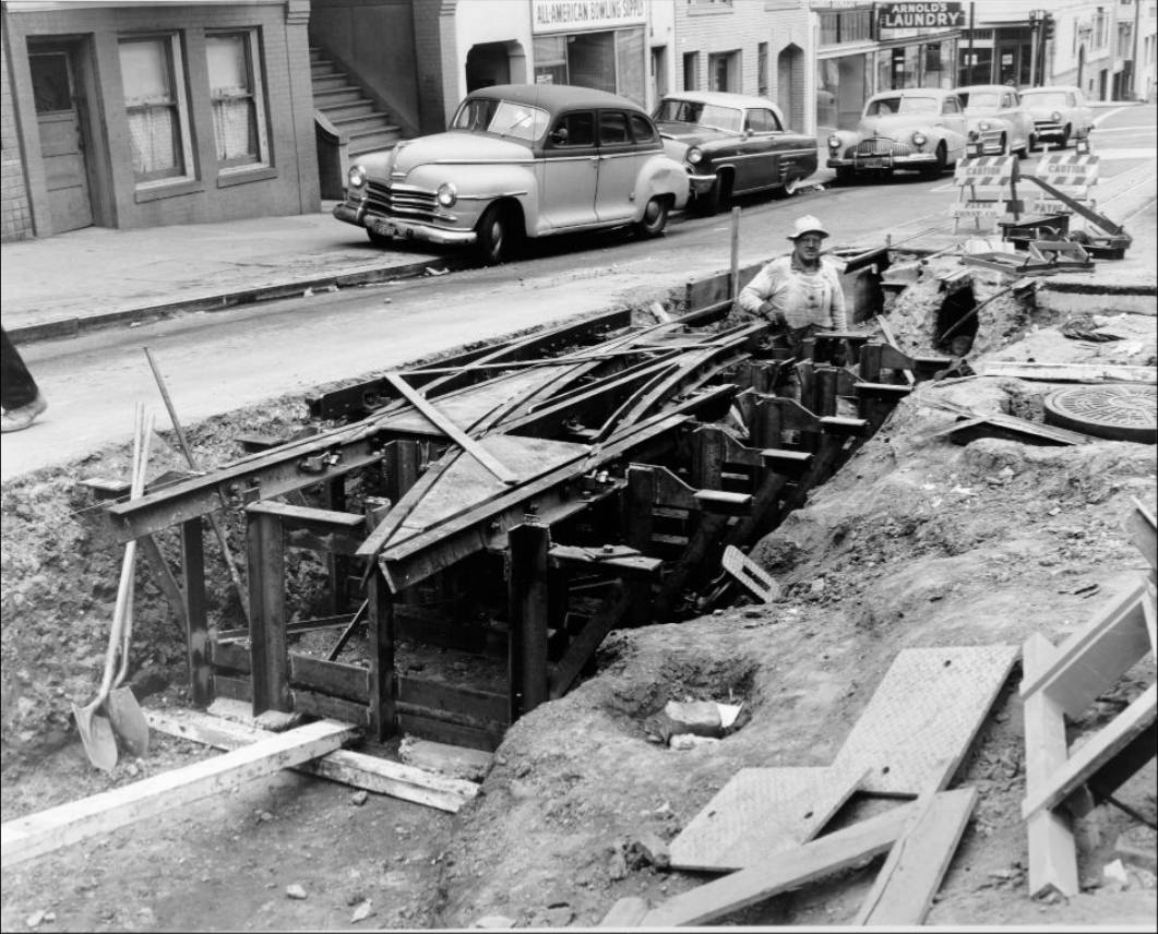
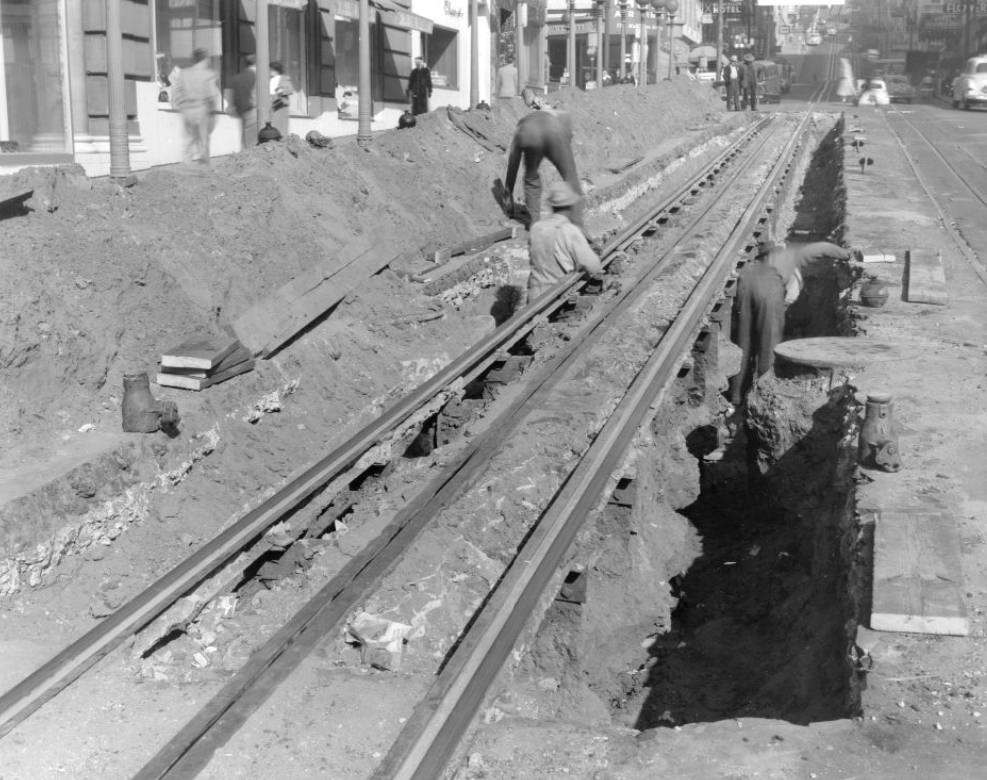
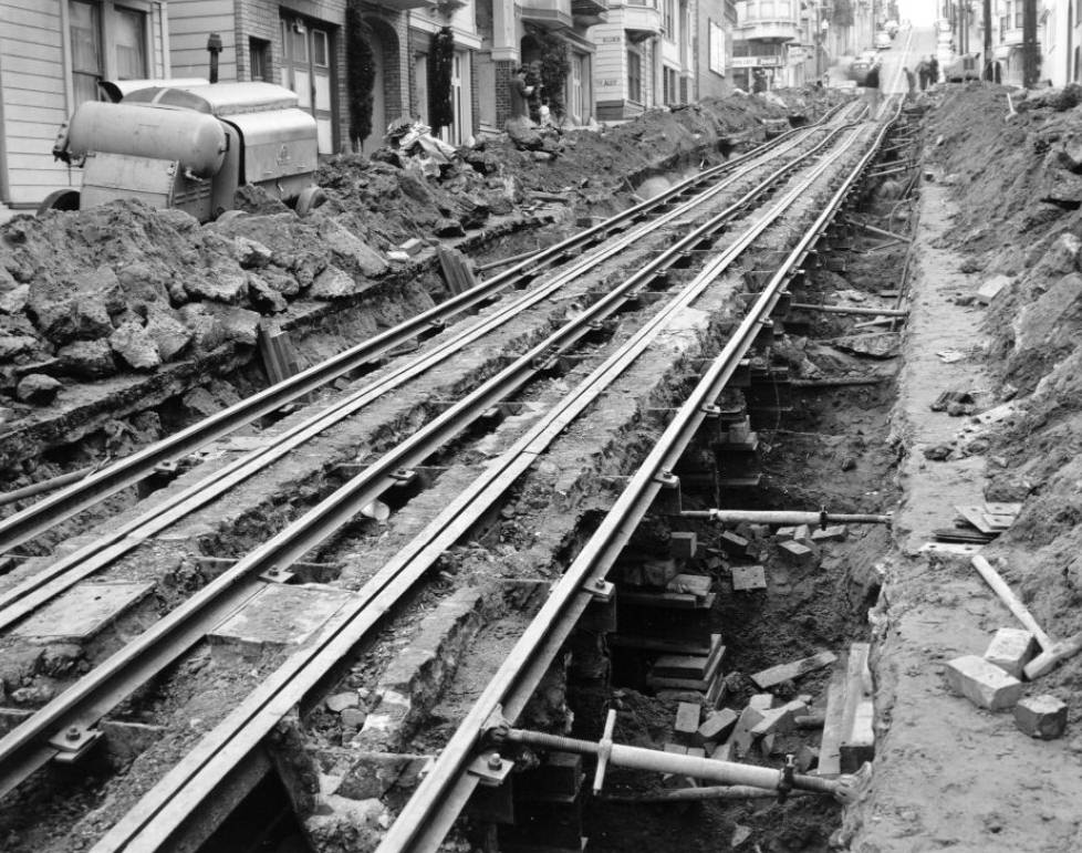
Throughout the 1950s, the city’s cable car infrastructure underwent frequent construction and reconstruction. Track work appeared at intersections across Nob Hill and Russian Hill — at Hyde and Jackson, California and Hyde, Powell and Geary. Workers tore up streets, relaid lines, and kept the system running even as the rest of the city built up around it. The cable cars weren’t just a transit option; they were a functional necessity on San Francisco’s steepest grades.
A cable car on Jackson Street, circa 1953.
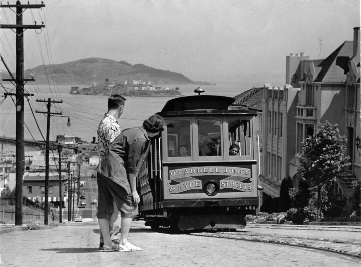
Dwane Hodgson and Carol Lyle watch a Hyde Street Cable Car, 1953.
Cable car construction on Powell Street between Geary and Post, 1953.
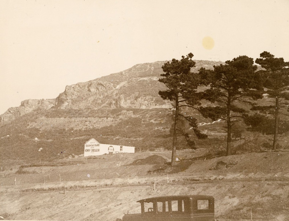
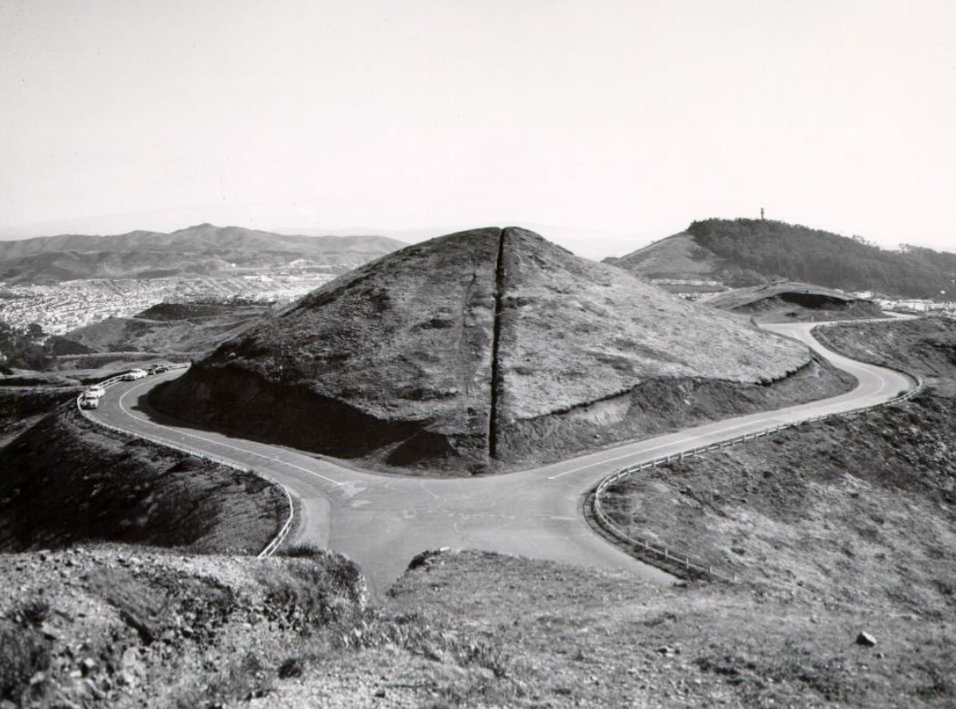
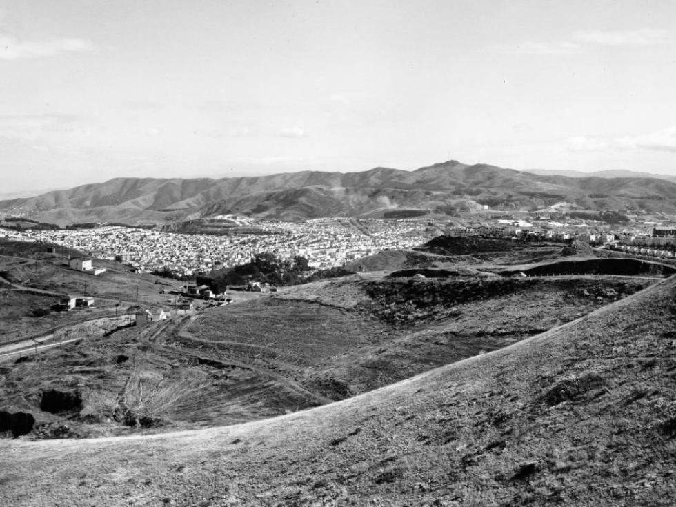
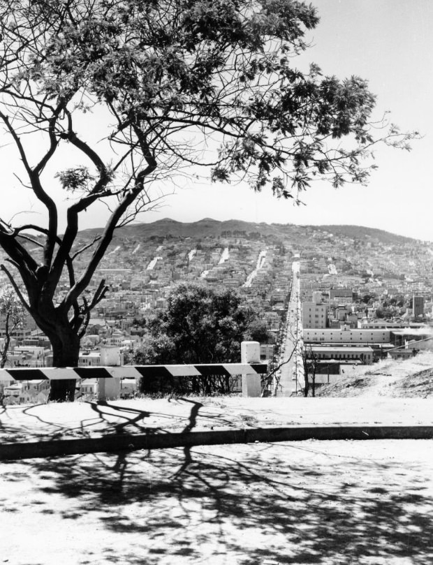
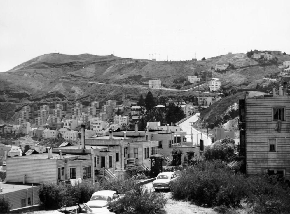
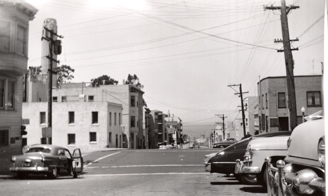
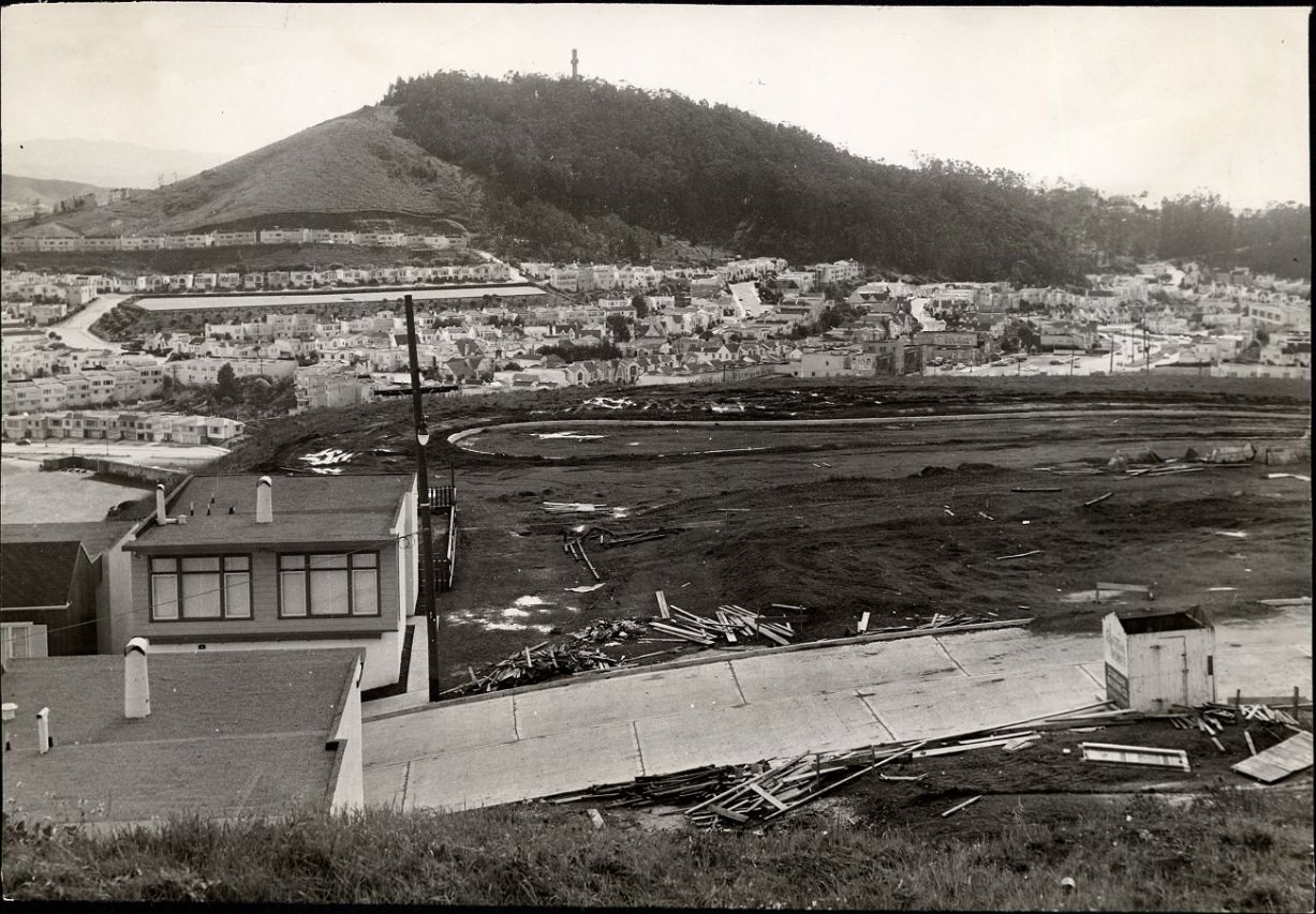
Twin Peaks offered one of the clearest views of how fast the city was changing. From the summit, the growth of residential neighborhoods to the south and west was easy to see. New construction sites dotted the hillsides, and streets that had been open land just years earlier were now filling in with homes. Twin Peaks itself became a construction zone in 1954 as developers moved in.
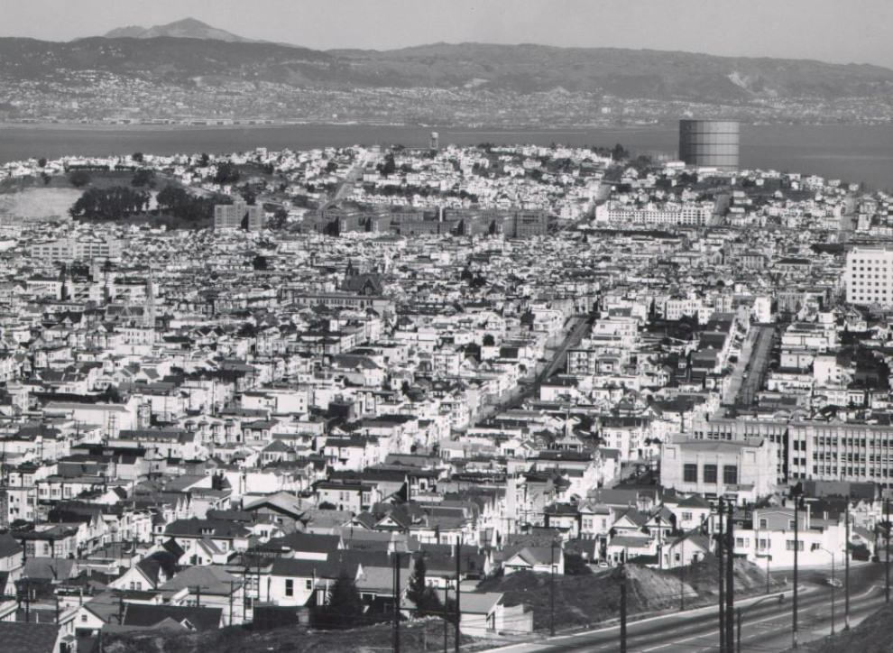
View south from the summit of Twin Peaks, circa 1950s.
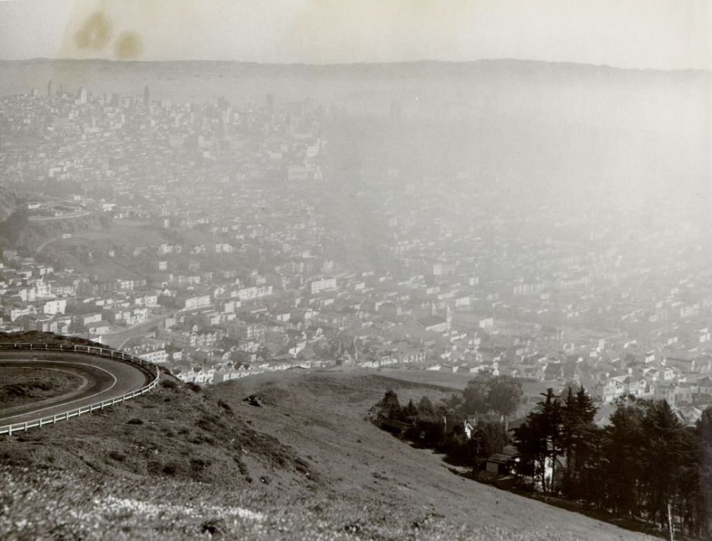
View from Twin Peaks on a hazy day, 1952.
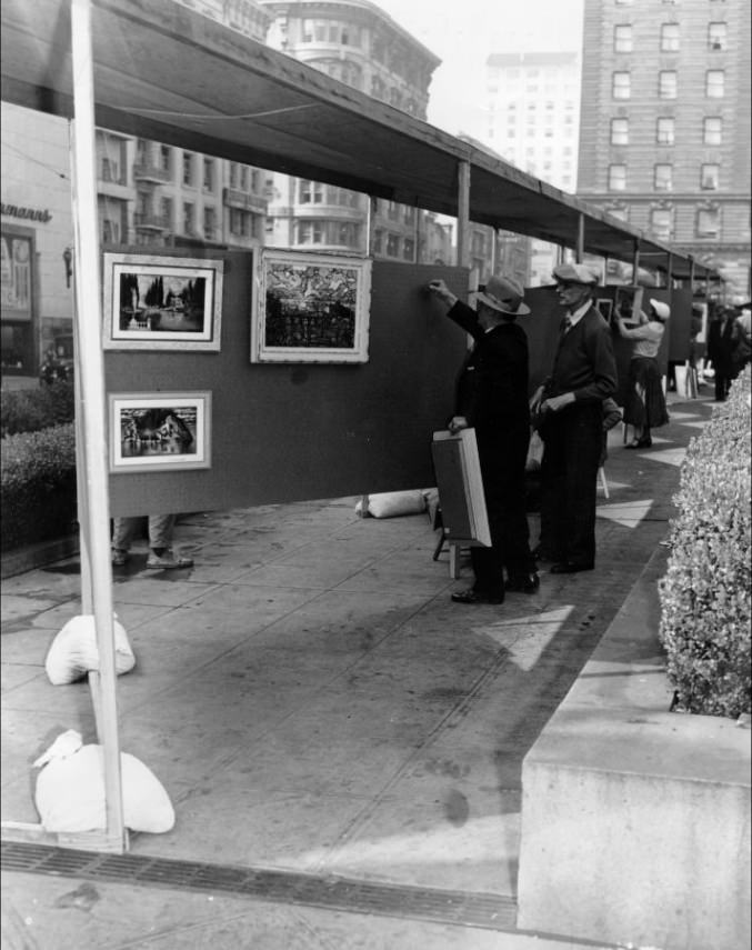
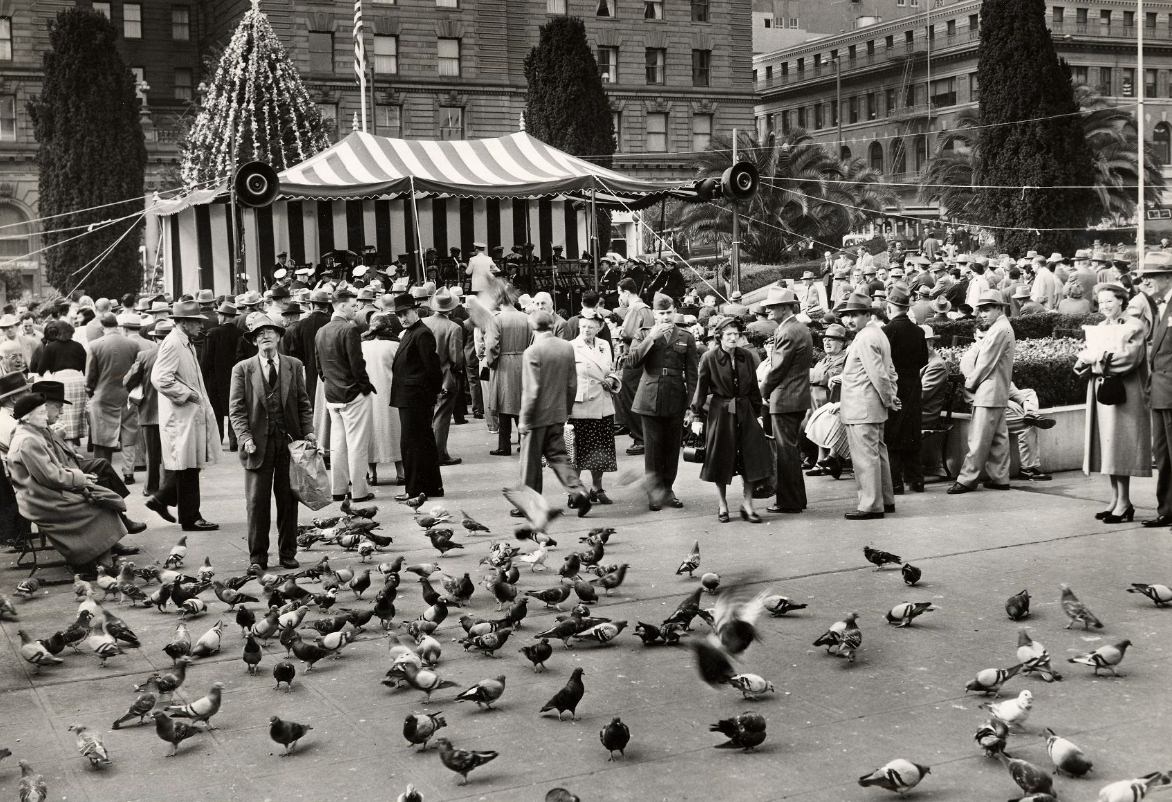
The arts scene was thriving in North Beach and across the city. The Beat Generation writers — Jack Kerouac, Allen Ginsberg, and others — gathered at City Lights Bookstore and the coffee shops and jazz clubs nearby. Jazz venues in the neighborhood hosted nationally known musicians, drawing crowds on weekday nights as much as weekends. Union Square also served as an outdoor stage of sorts, with bands performing and artists preparing for public exhibitions.
Artists preparing for the San Francisco Art Commission’s Seventh Annual Art Festival in Union Square, 1953.
People gather in Union Square to listen to the Golden Gate Park band, 1953.
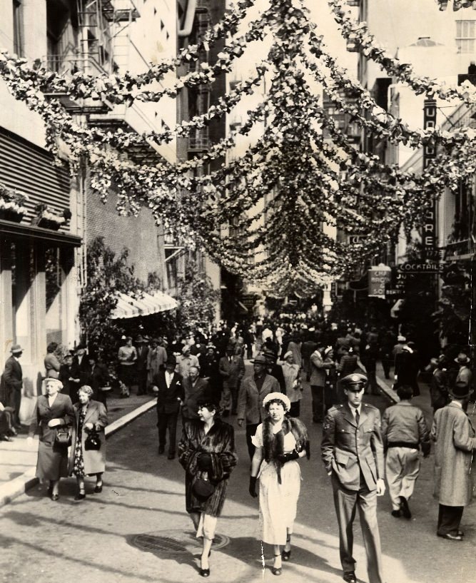
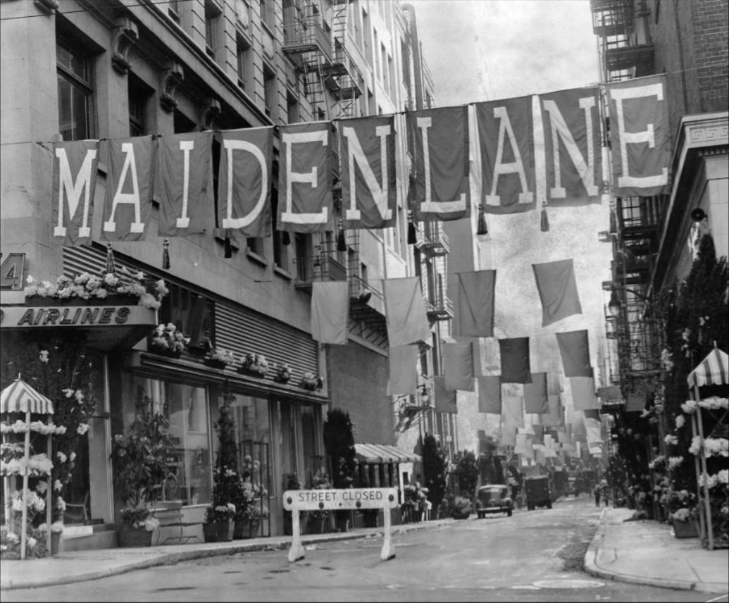
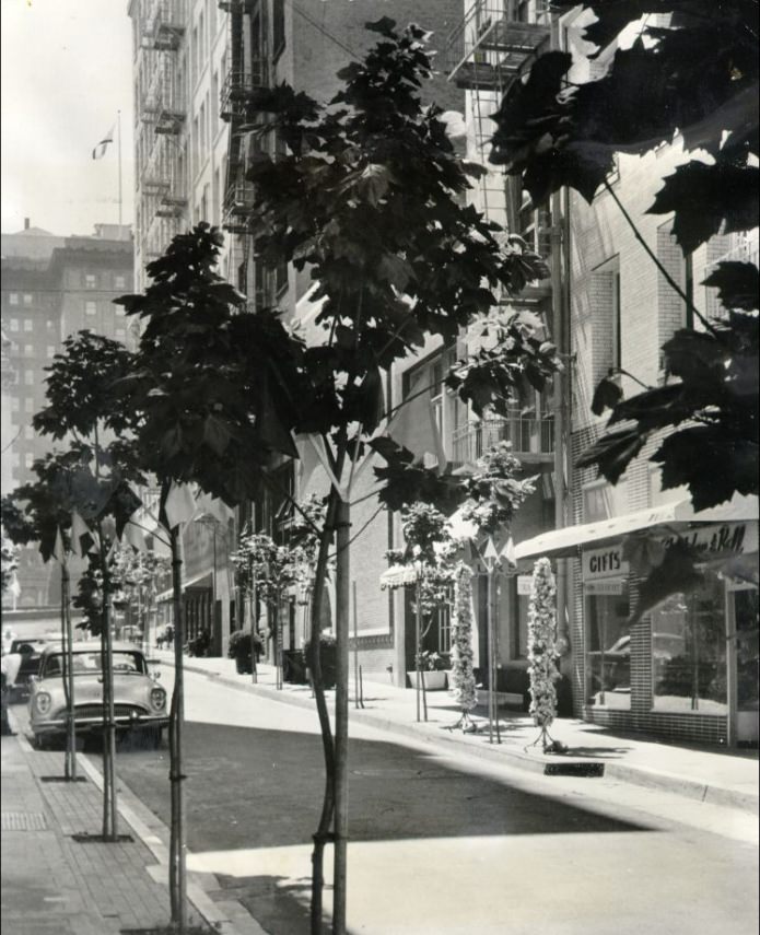
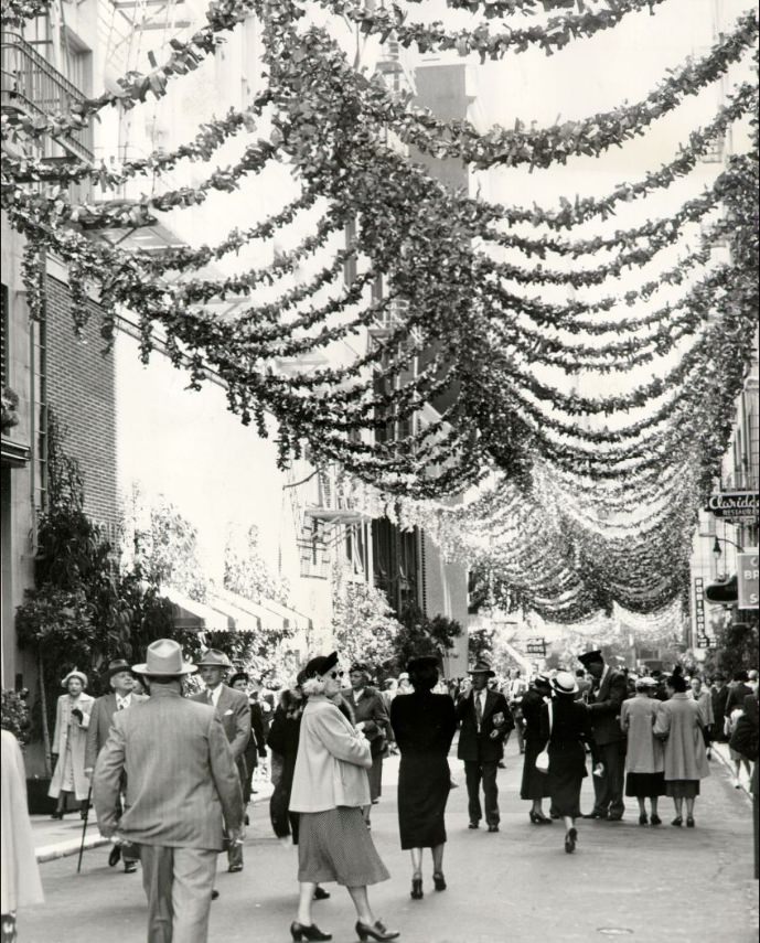
Maiden Lane, a short two-block alley just off Union Square, hosted its own annual Spring Festival. Each year, crowds filled the pedestrian lane for the event, which brought a festive atmosphere to one of the city’s more elegant commercial corridors. The lane had a colorful past — it had been a red-light district before the 1906 earthquake — and by the 1950s it had reinvented itself as a shopping and cultural destination.
A crowd on Maiden Lane during the Spring Festival, 1951.
Maiden Lane at dawn during the annual Spring Festival, 1952.
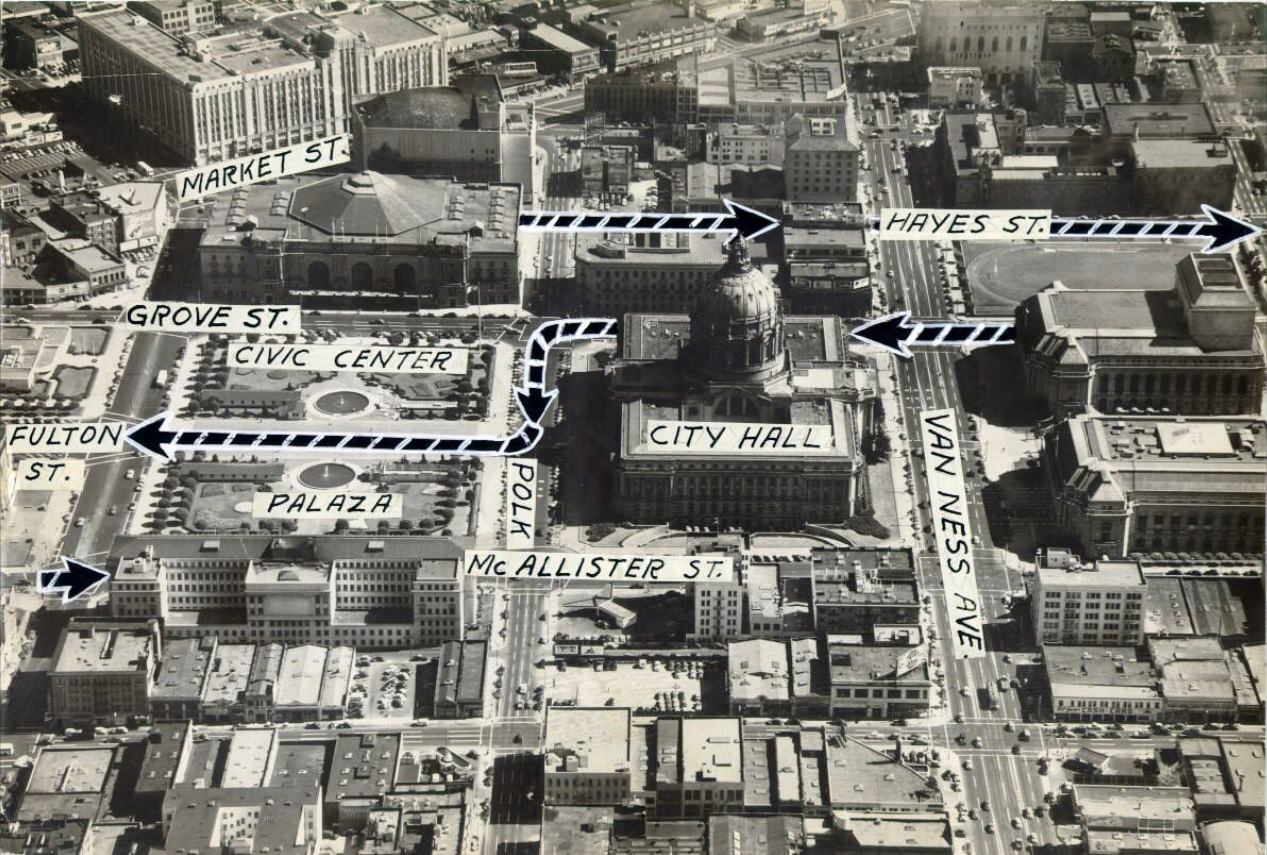
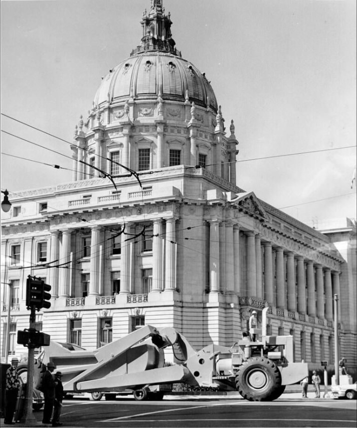
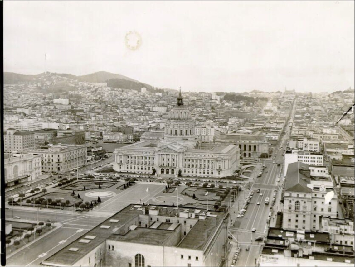
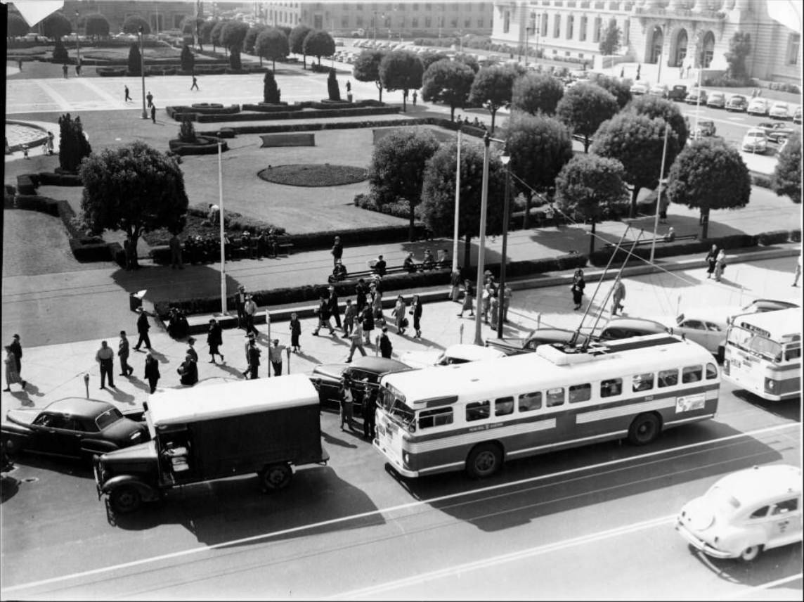
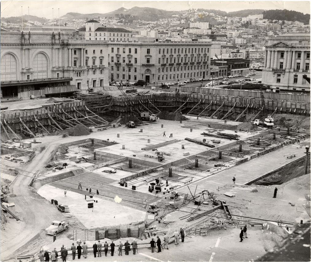
San Francisco’s civic infrastructure was also being built and expanded. The Civic Center saw new construction and public exhibitions throughout the decade. City Hall remained the center of local government, and the plaza around it hosted public gatherings of all kinds. The Civic Center neighborhood was dense with government offices, libraries, and court buildings that served the city’s growing population.
Aerial view of the Civic Center district, 1952.
City Hall in Civic Center Plaza, 1958.
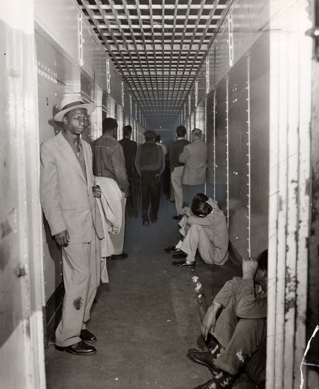
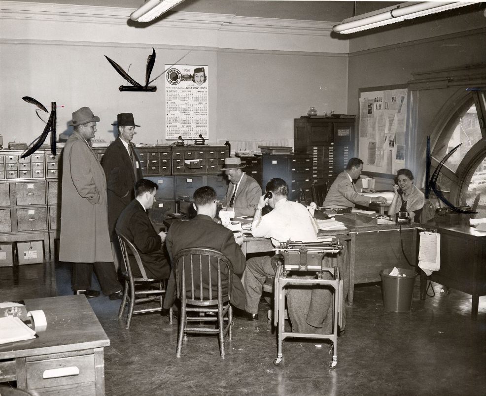
The Old Hall of Justice, which housed courts and a jail facility, was showing its age badly by the mid-1950s. A narrow corridor doubled as both a dining area and recreation space for inmates. Offices inside were cramped and poorly maintained. Photographs taken in 1956 and 1958 document conditions that were difficult even by the standards of the time.
A narrow corridor used as a jail dining and recreation area in the Old Hall of Justice, 1956.
Crowded tiny office in the Old Hall of Justice, 1956.
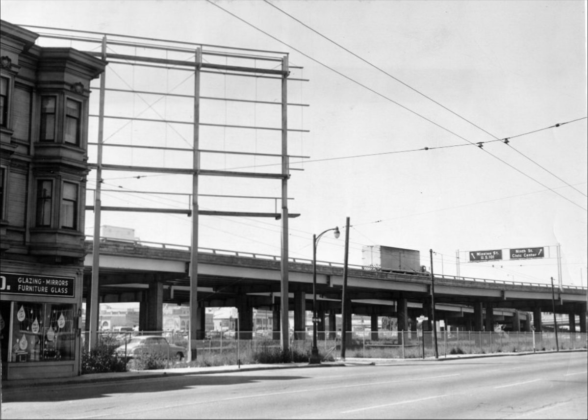
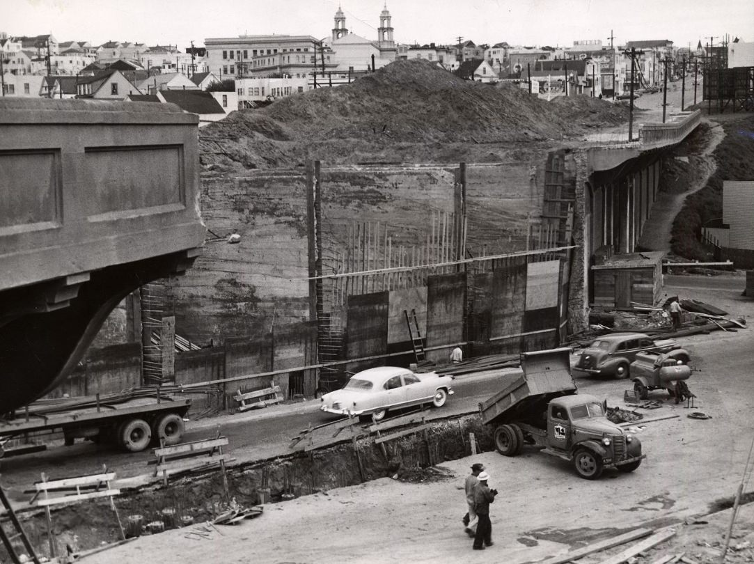
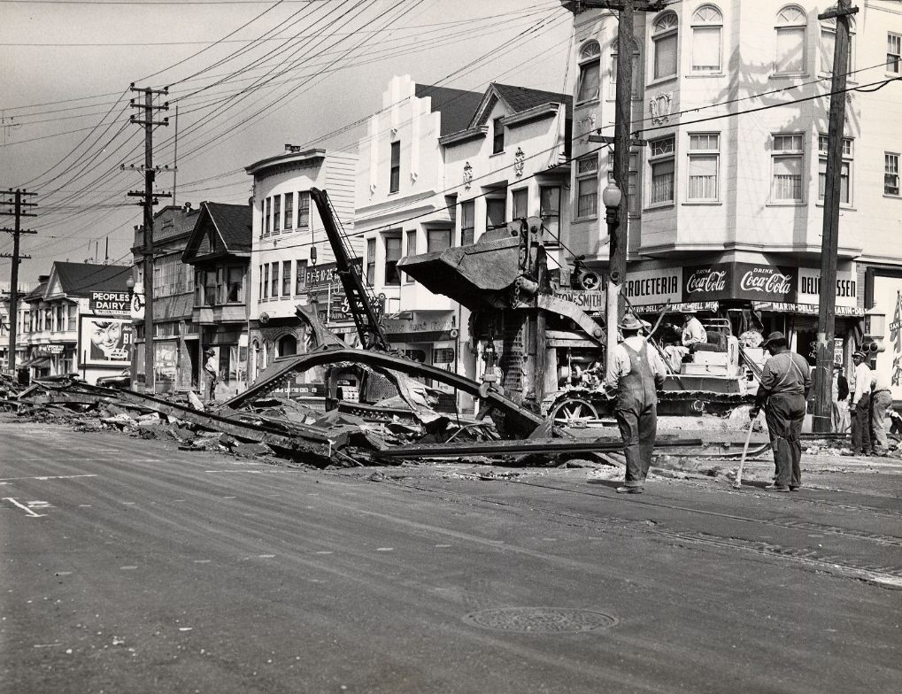
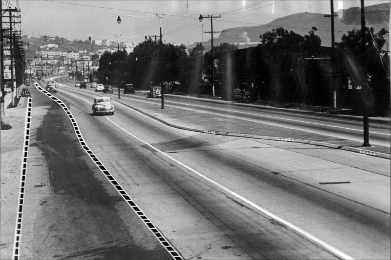
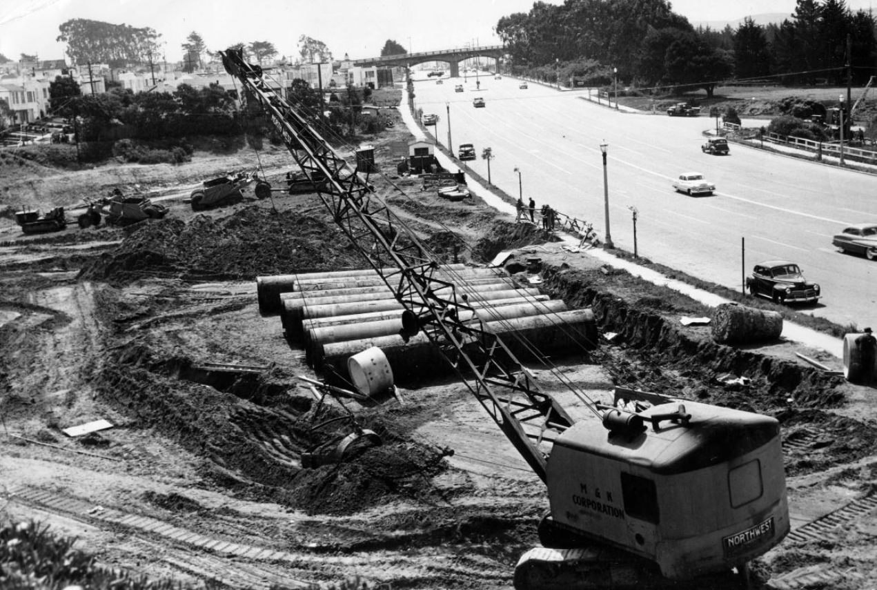
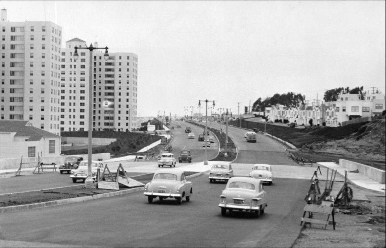
New roads and freeways were being built at a rapid pace. The Bayshore Freeway, the Geary Expressway, and stretches of Alemany Boulevard were all under construction or expansion during the decade. These projects promised faster travel but came with real costs — some required demolishing existing structures, including the old Mission Viaduct over Alemany Boulevard, which was torn down in 1951. Neighborhoods near these projects dealt with noise, dust, and disruption for years.
Geary Expressway, 1958.
View of Bayshore Freeway from Harrison and Harriet Streets, 1956.
Demolition of the Mission Viaduct over Alemany Boulevard, 1951.
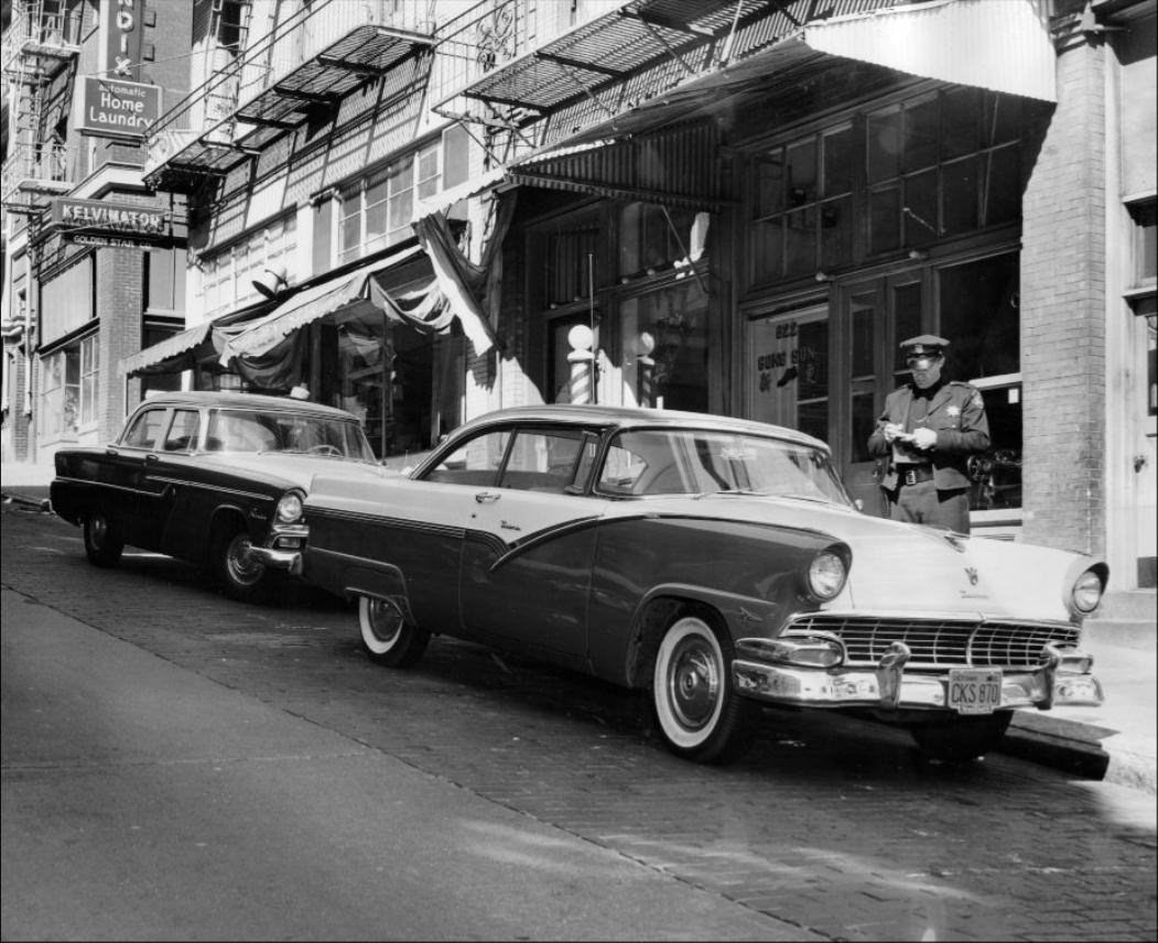
As car ownership rose, so did the city’s parking problems. Illegal parking was a daily enforcement challenge for police. Trucks made deliveries in restricted zones, and private cars sat on sidewalks or in crosswalks without consequence unless an officer happened to be nearby. The city responded with new parking lots, including a groundbreaking on Castro Street in 1959, and stricter enforcement across downtown corridors.
Police officer issuing a parking ticket on Clay Street, 1956.
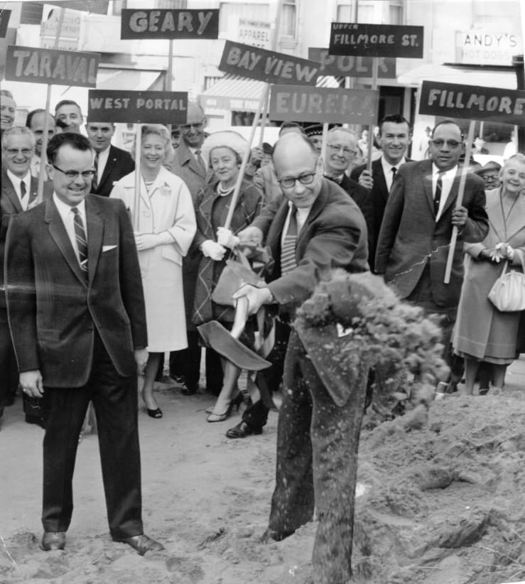
Groundbreaking ceremony for a new parking lot on Castro Street, 1959
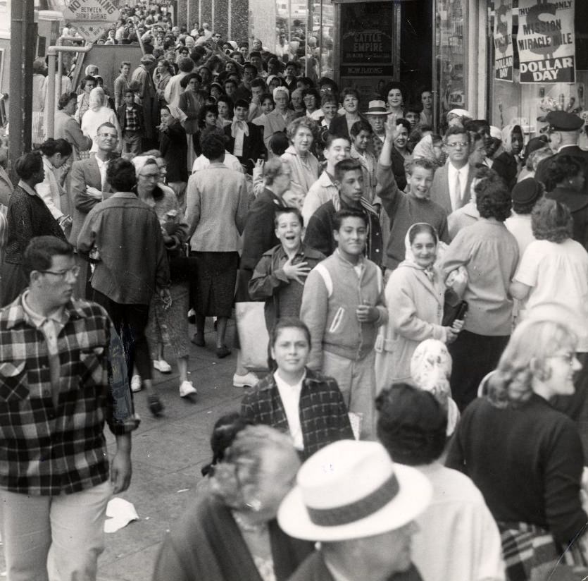
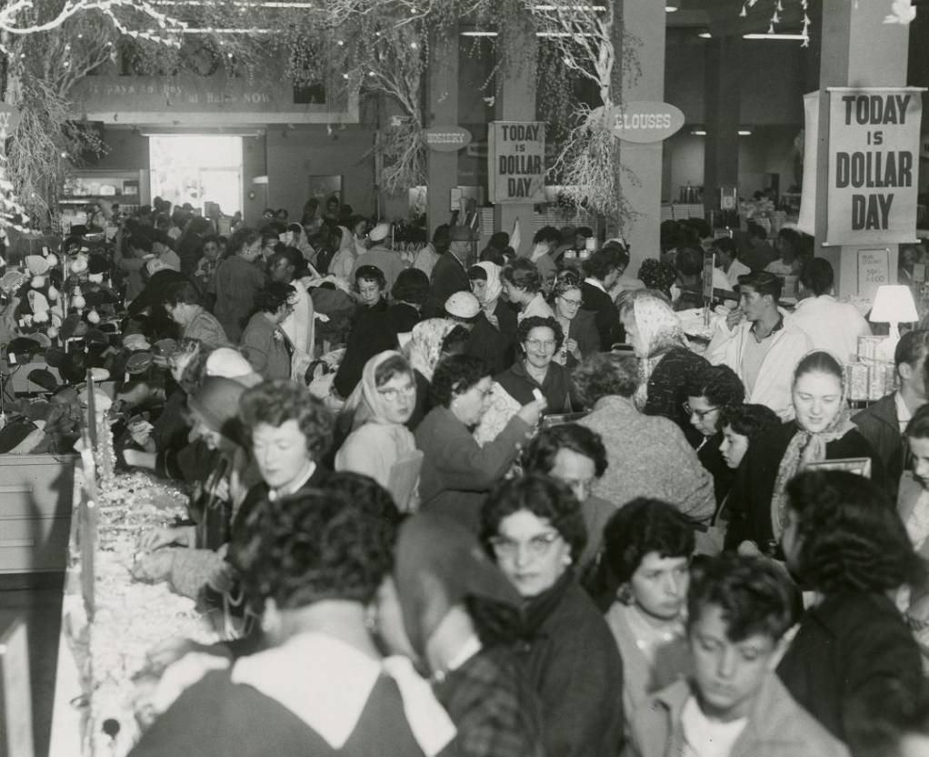
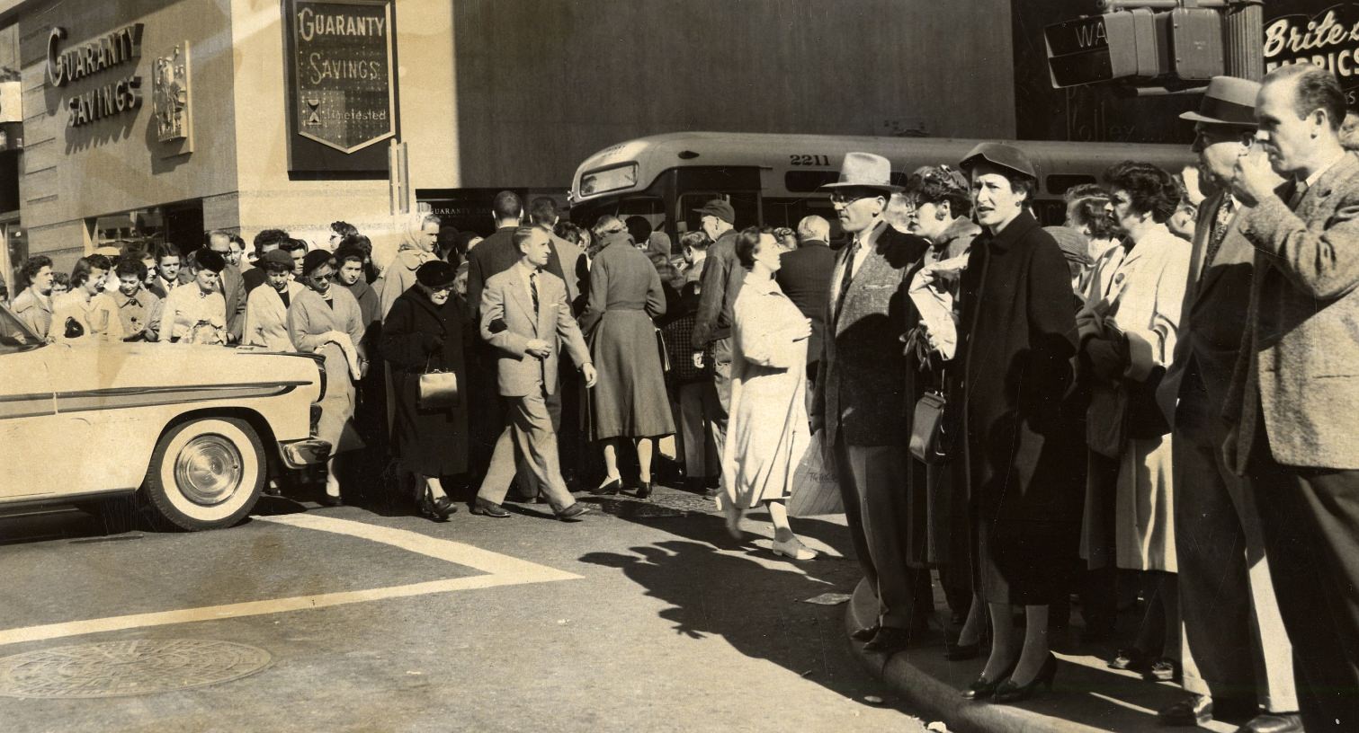
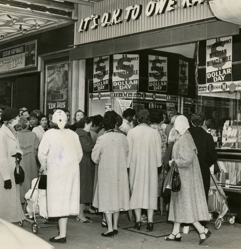
The Mission District was a densely populated, working-class neighborhood throughout the decade. Mission Street was one of its main commercial strips, packed with shoppers, especially on discount days. “Dollar Day” events drew enormous indoor crowds to Mission Street stores in 1958 and 1959, filling aisles to capacity and spilling out onto the sidewalks.
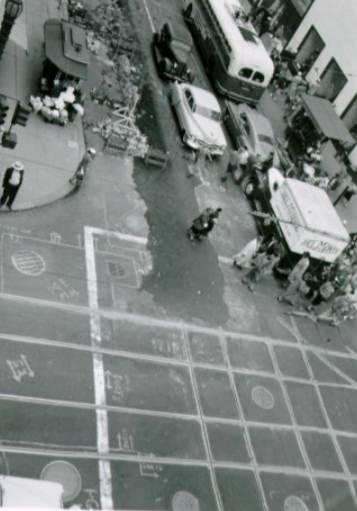
A crowd of people on Mission Street, 1958.
Crowd inside a store on Mission Street for “Dollar Day,” 1958.
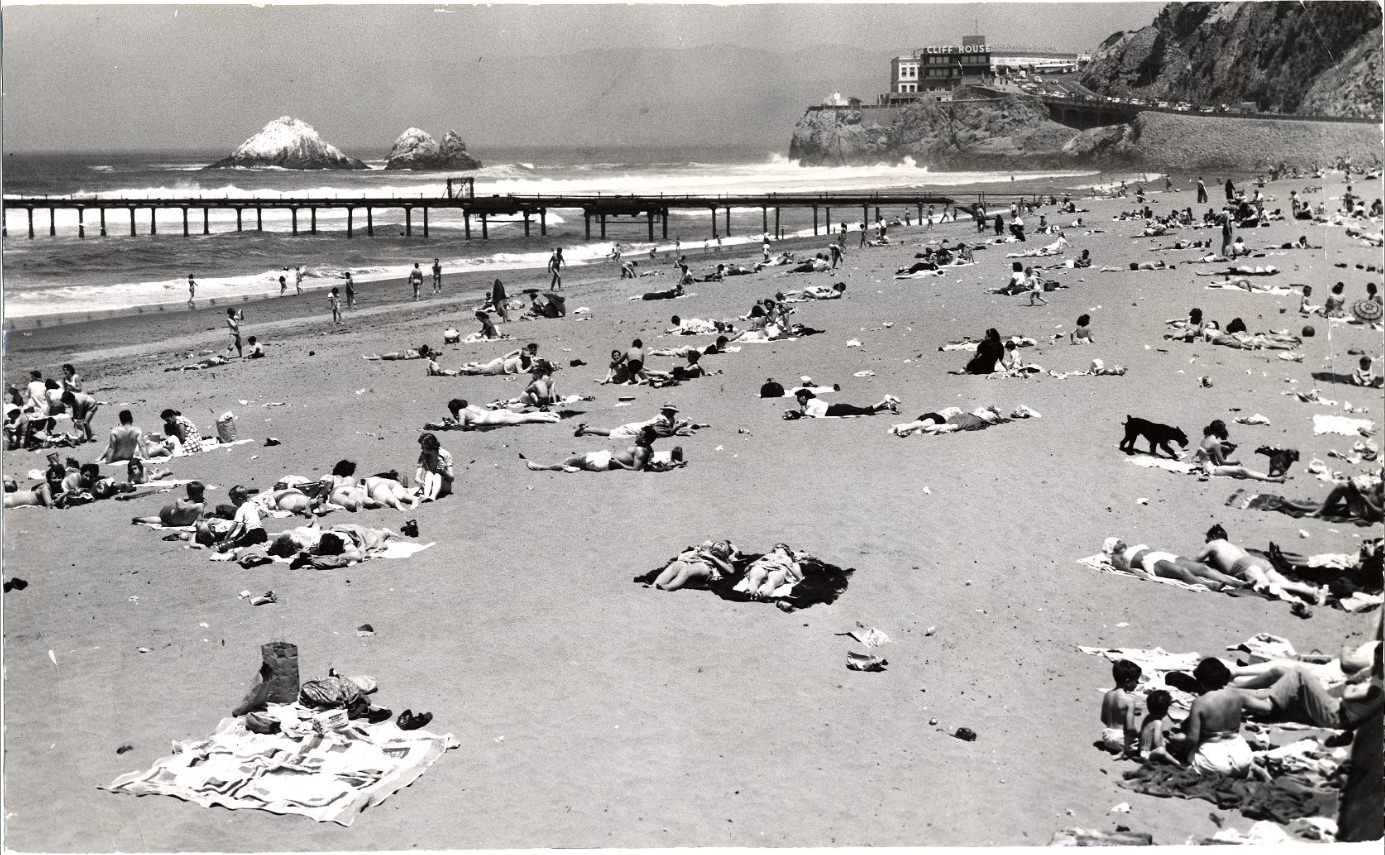
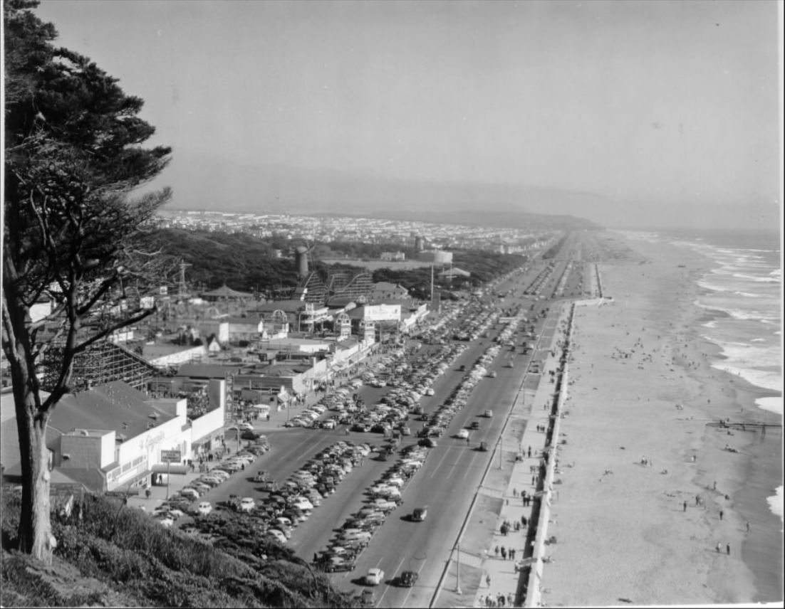
Ocean Beach on the city’s western edge was a regular spot for residents seeking open air and space. Sunbathers came out even in cooler weather, and the beach stayed popular through all seasons. The views from nearby Sutro Heights showed just how long and open the shoreline was — a dramatic contrast to the packed streets a few miles to the east.
Sunbathers at Ocean Beach, 1950.
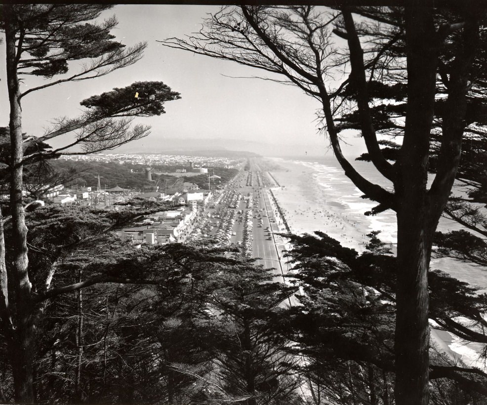
View of Ocean Beach from Sutro Heights, 1950.
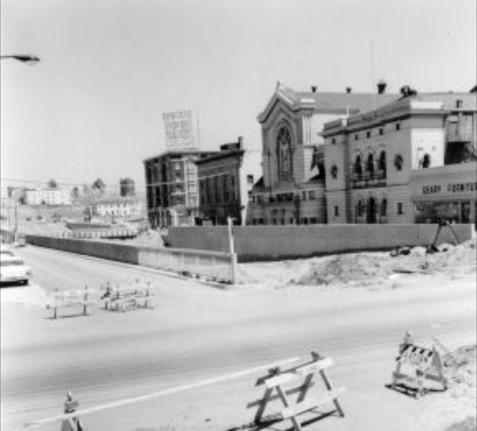
The Montgomery Block, one of San Francisco’s oldest and most storied buildings, still stood in the 1950s before its eventual demolition to make way for what would become the Transamerica Pyramid site. The building had housed lawyers, artists, and writers for over a century, and its loss marked a turning point in the city’s approach to preservation versus redevelopment — a tension that played out repeatedly across the decade.
The Montgomery Block before its demolition, circa 1950s.
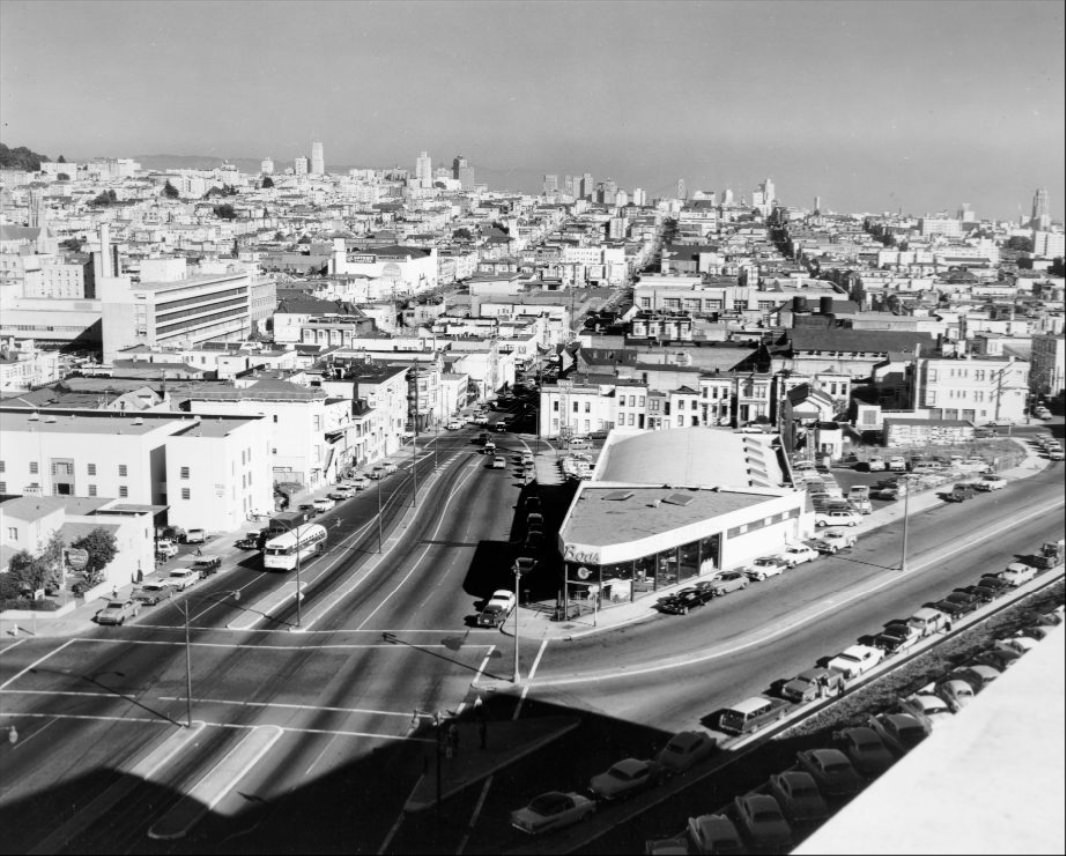
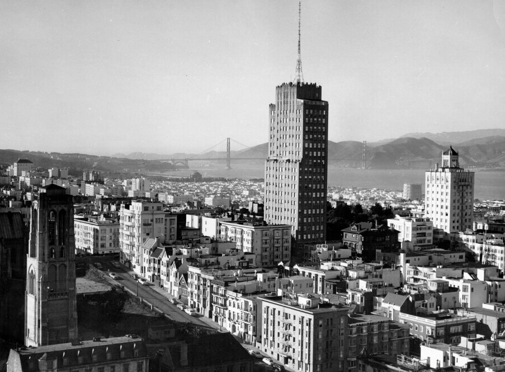
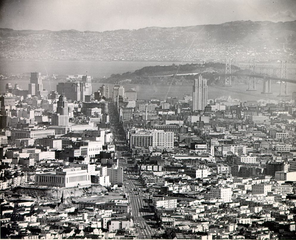
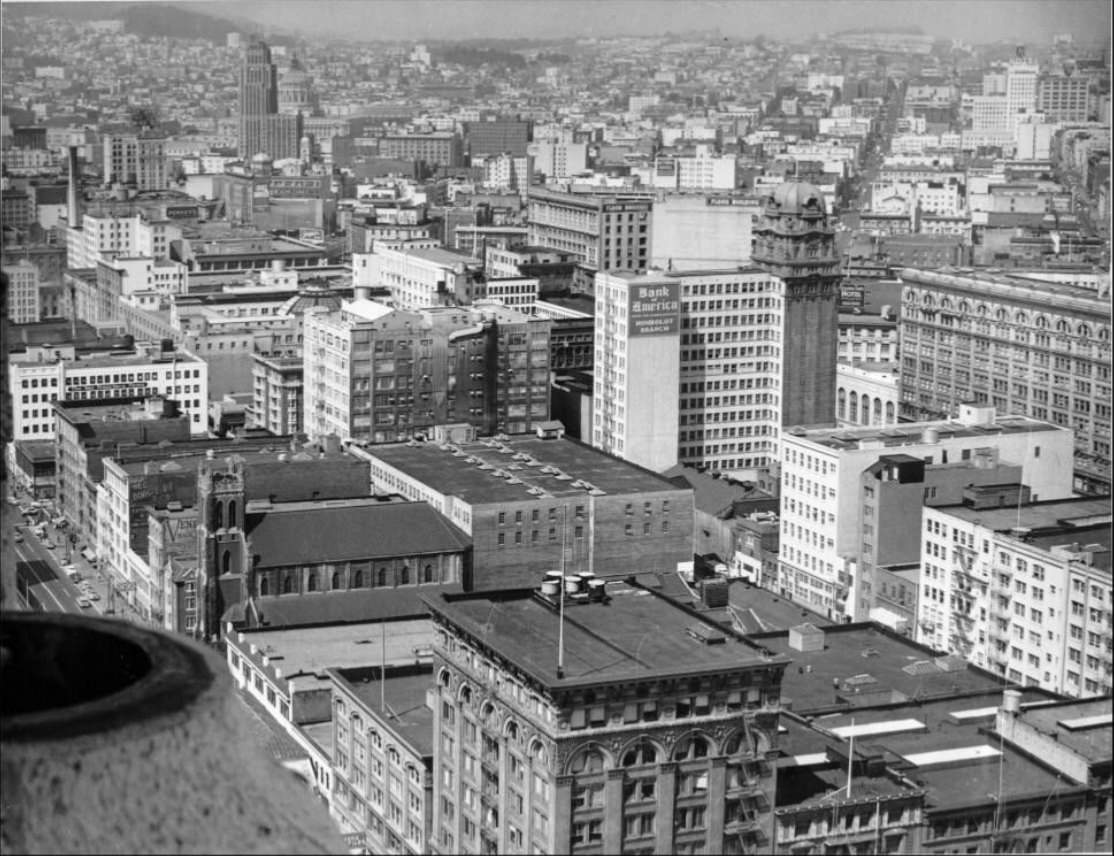
Looking out over San Francisco from high points like the Top O’ The Mark at the Mark Hopkins Hotel on Nob Hill, or from Twin Peaks Boulevard, the scale of the city’s growth was unmistakable. New buildings rose alongside old ones. Streets were torn up and repaved. Cranes and work crews were a constant presence. The San Francisco of 1959 looked noticeably different from the city that had entered the decade, and the pace of change showed no sign of slowing.
View from Top O’ The Mark on Nob Hill towards the Golden Gate, 1950s
San Francisco looking south from Twin Peaks Blvd, circa 1957.
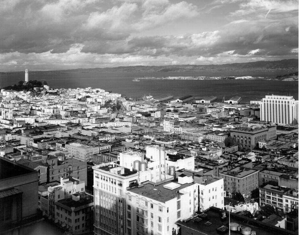
View of downtown San Francisco with Coit Tower on the left and Treasure Island in the distance, 1953.
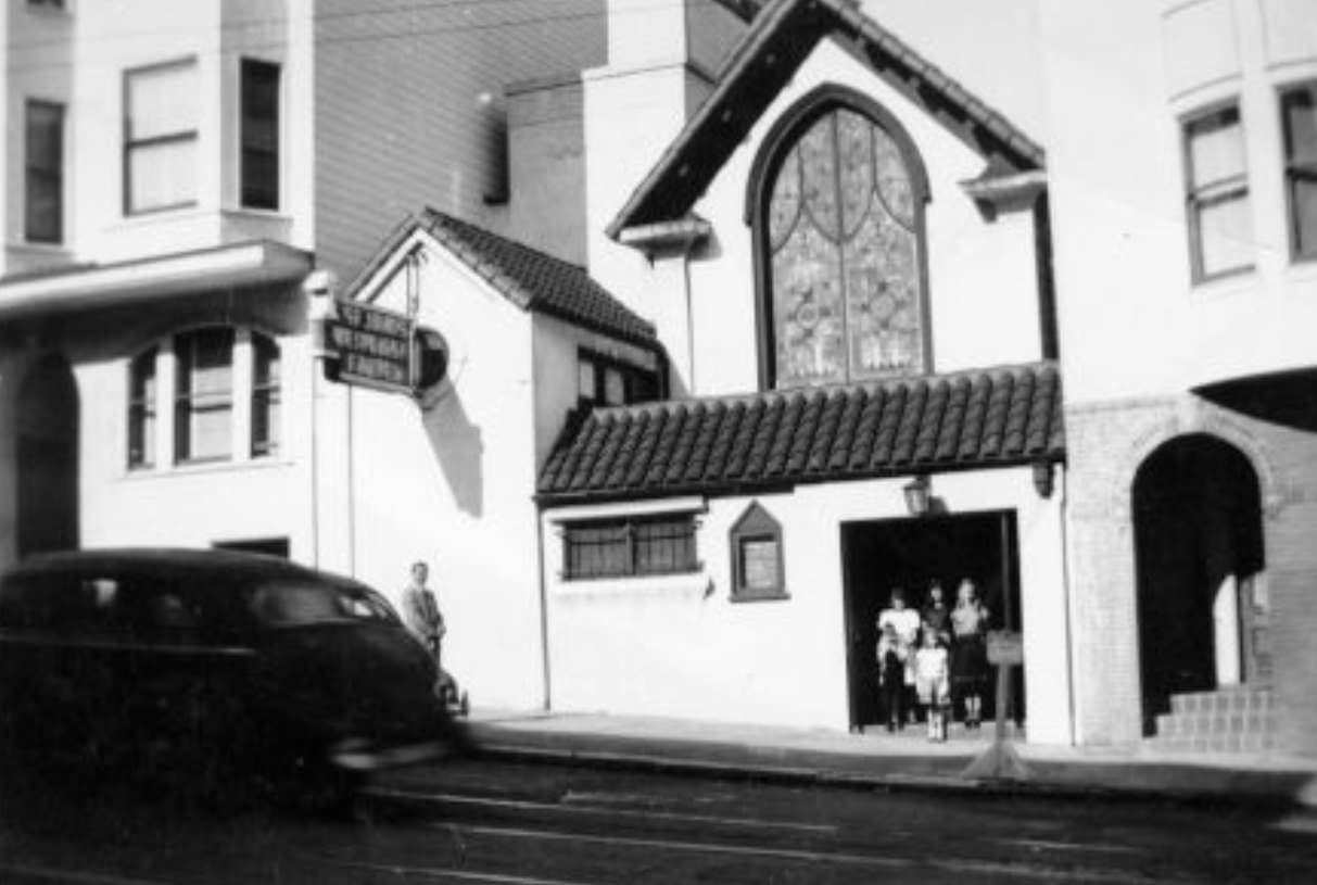
St. John’s Methodist Church on 756 Union Street, circa 1950s.
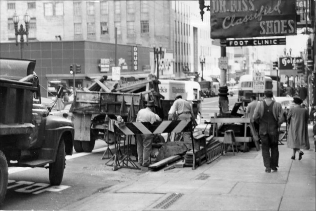
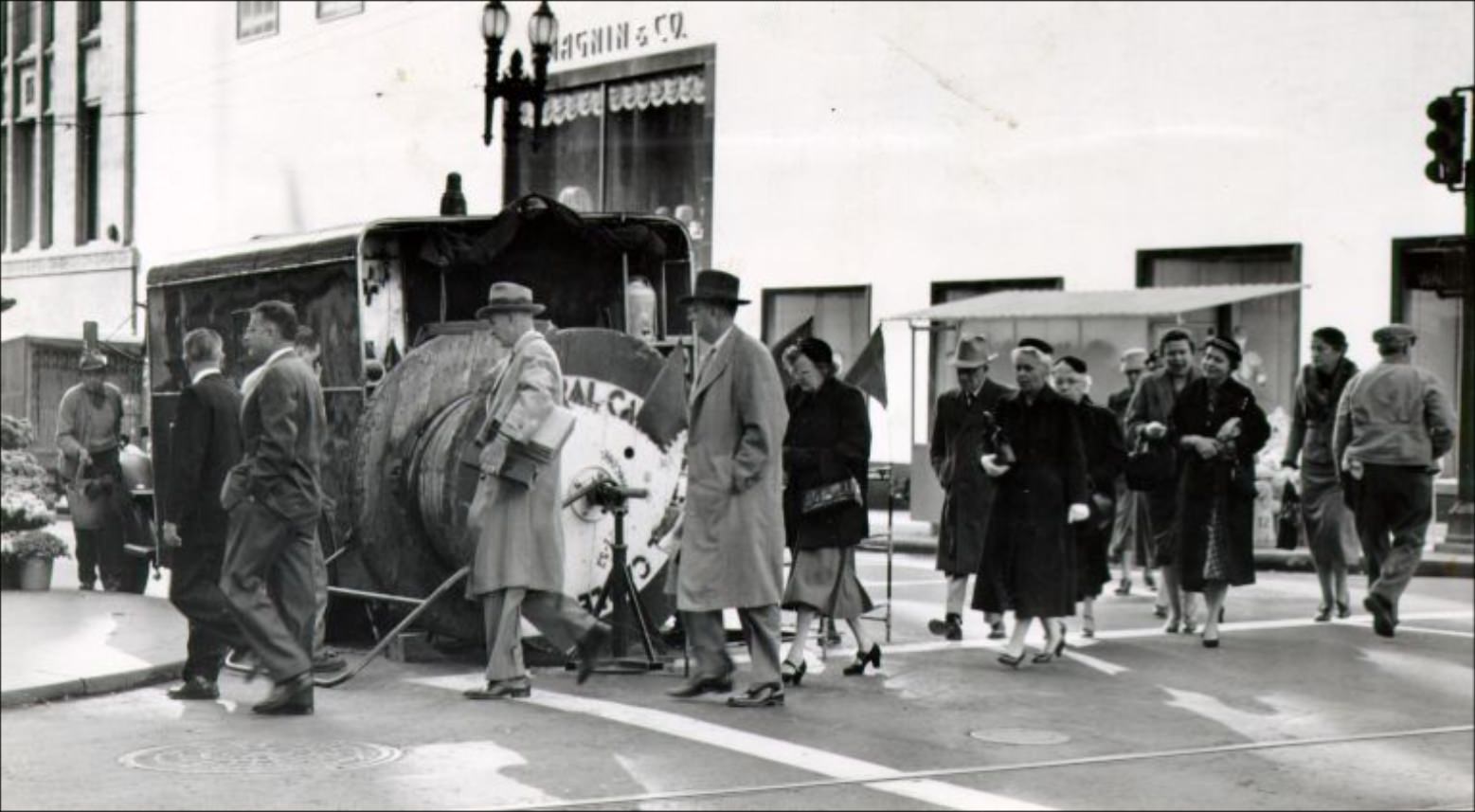
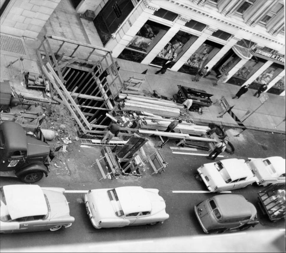
PG&E workers block a pedestrian crosswalk at Sutter and Powell Streets, 1955.
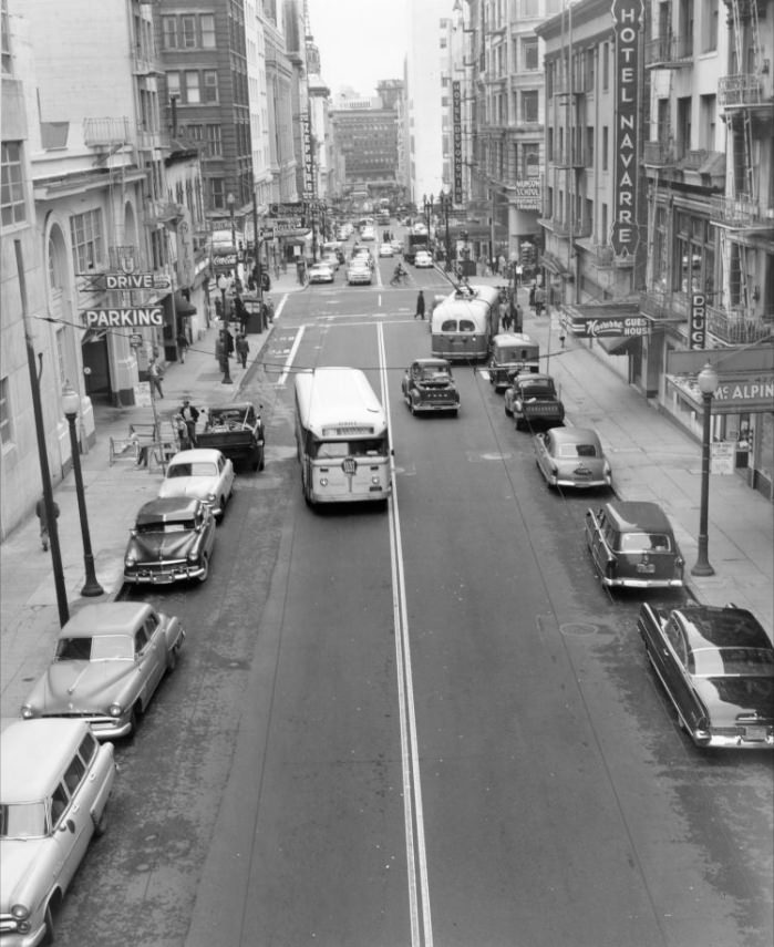
View south on Stockton Street from Bush, 1956.
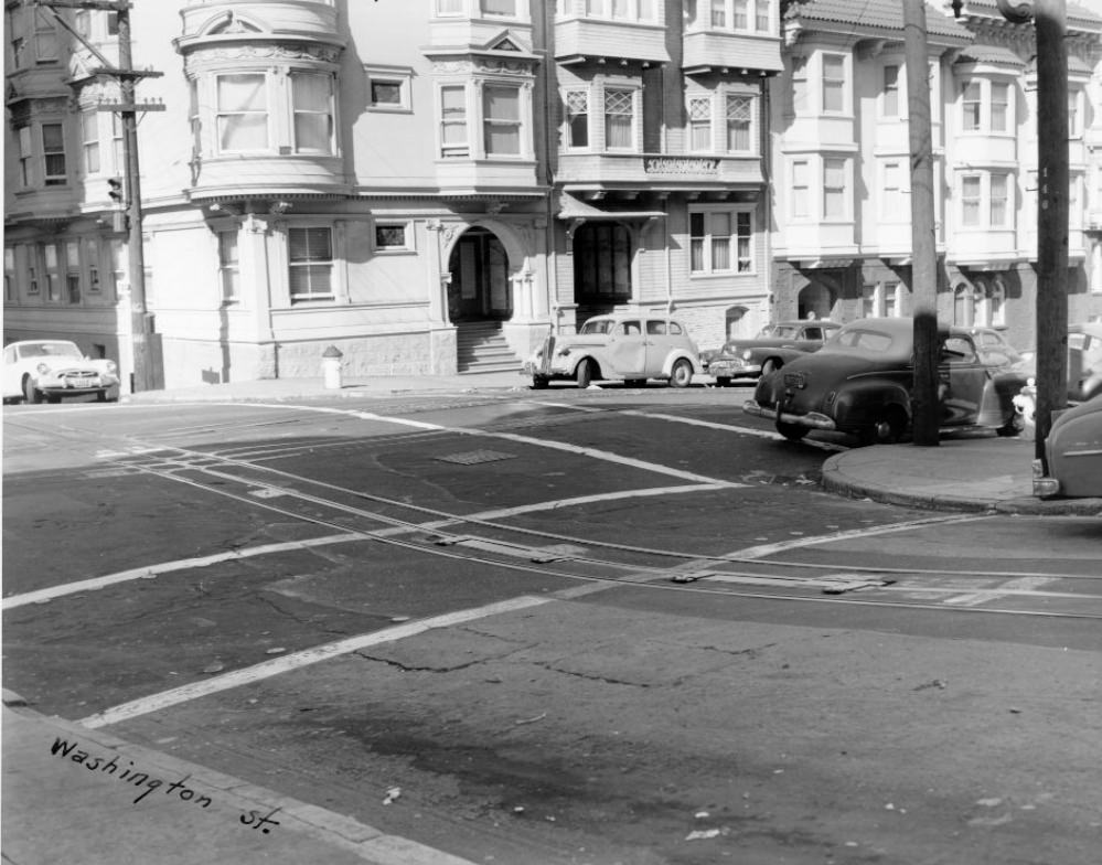
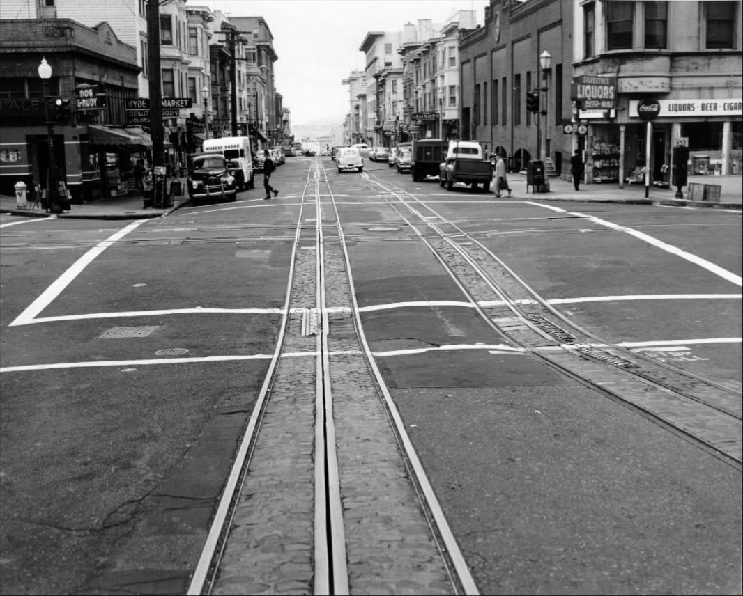
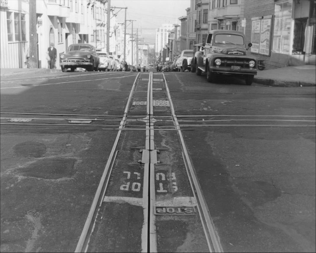
The intersection of Hyde and Washington Streets, 1955.
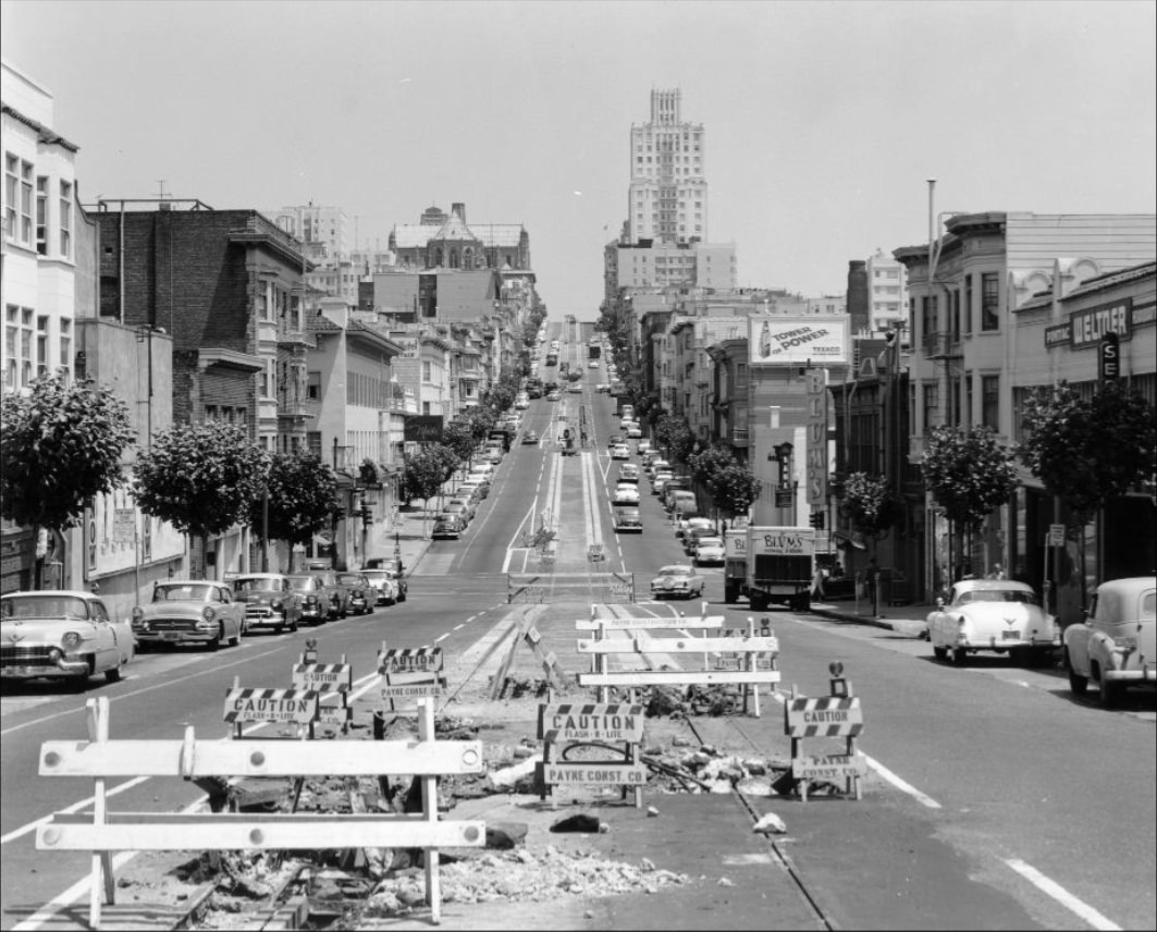
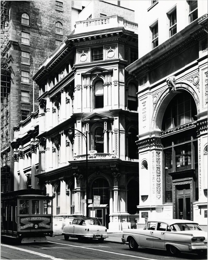
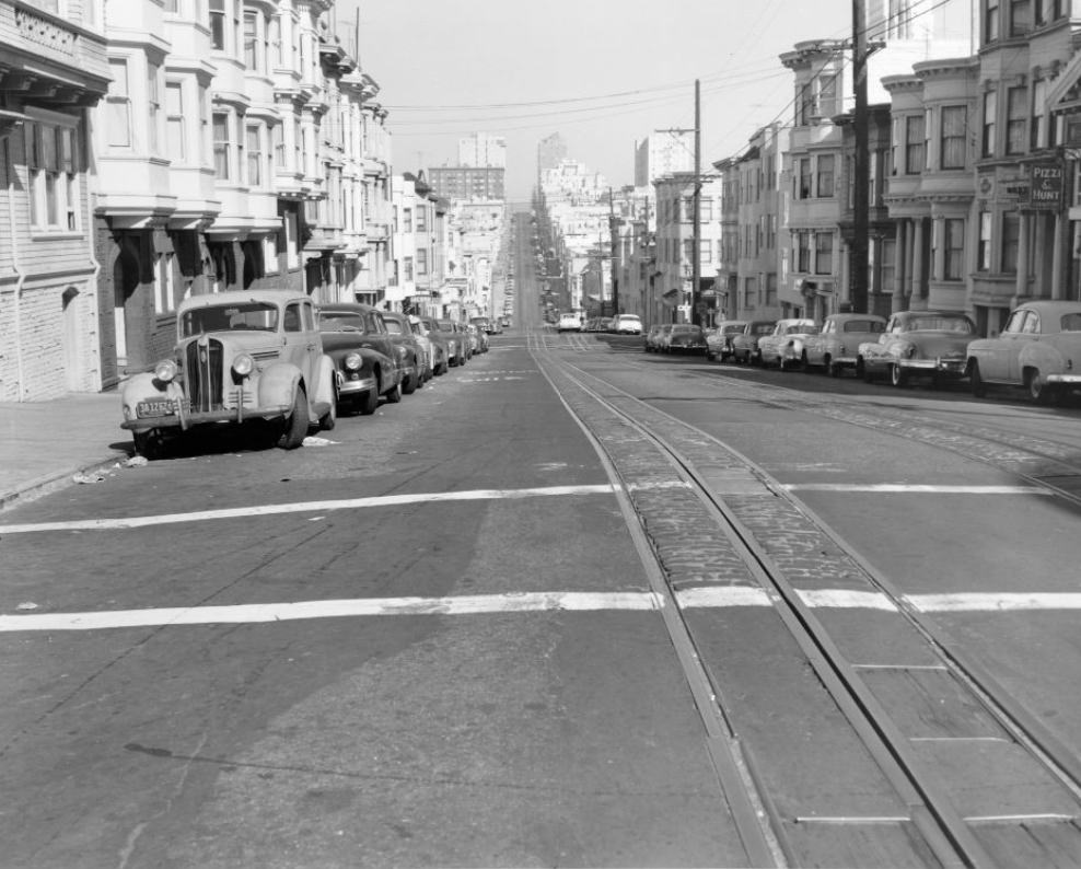
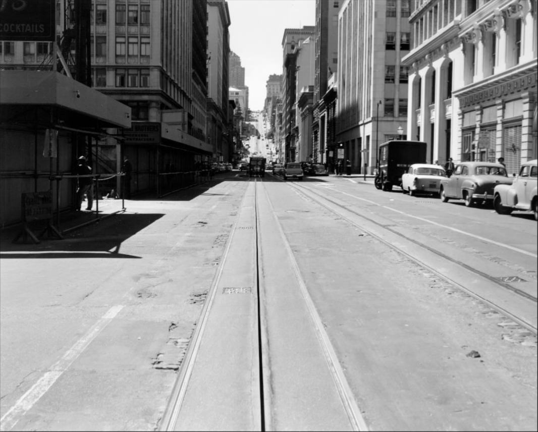
California Street from Van Ness, looking east, 1957.
The crossing at Hyde and Washington Streets, 1956.
Construction on a pedestrian crosswalk at Stockton and Geary Streets, 1955.
Post Street between Powell and Stockton, 1954.
Twin Peaks, 1954.
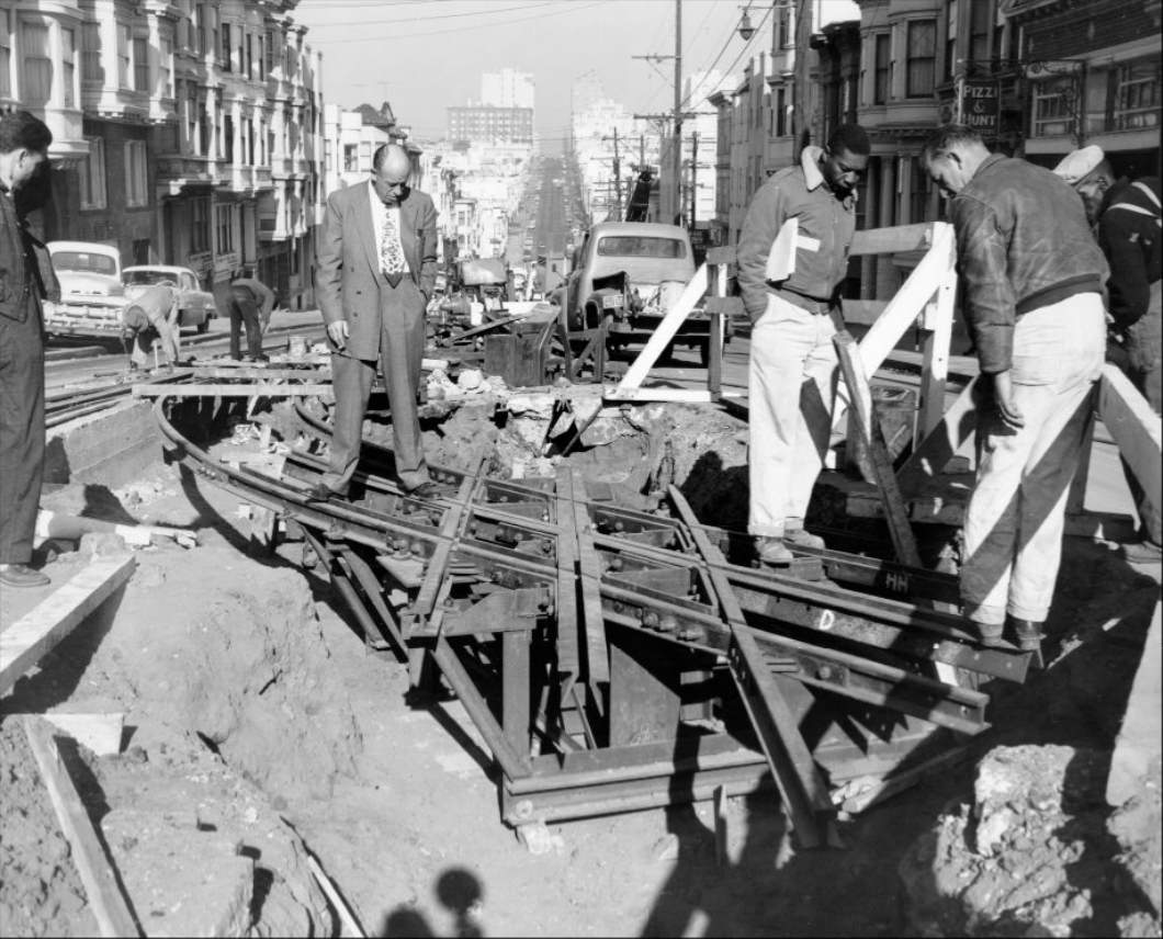
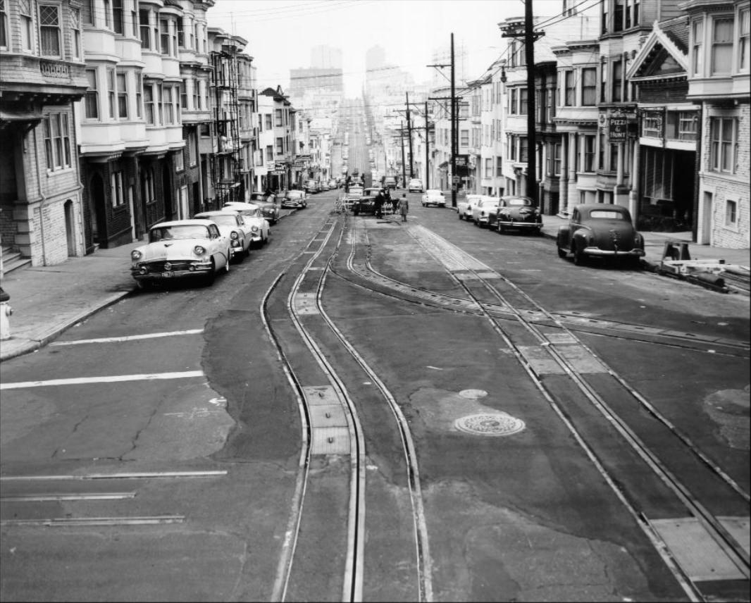
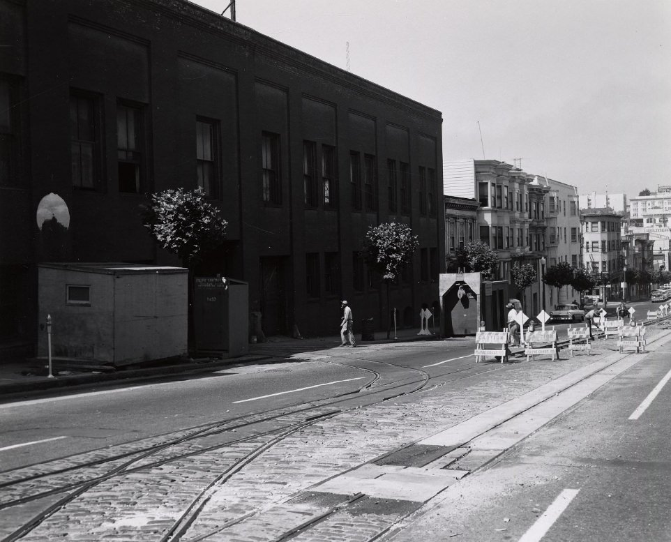
Track construction at Hyde and Jackson Streets, 1956.
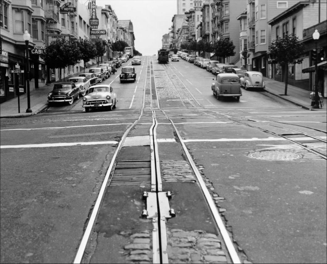
California and Hyde Streets, 1957.
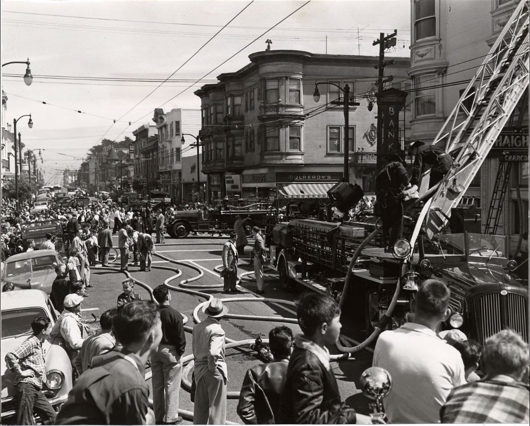
Firefighters combat a three-alarm fire at Haight and Ashbury Streets, 1952.
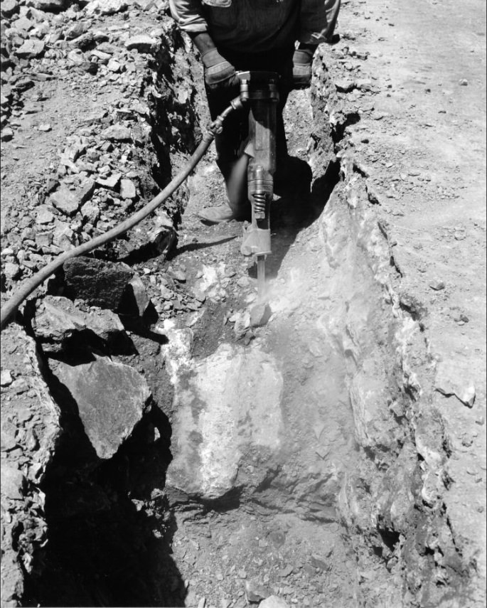
Drilling concrete on Mason Street between California and Sacramento, 1957.
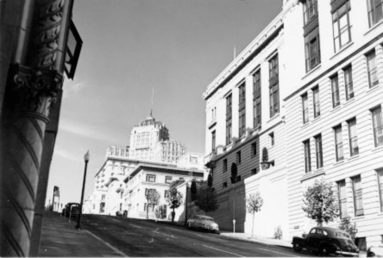
View of the Mark Hopkins Hotel on California Street, 1951.
Hyde and Washington Streets, 1957.
Civic Center Plaza, 1955.
Track removal on Mission Street at Richland, 1950.
Track construction at Hyde and Jackson Streets, 1956.
Deliveries to produce markets on Washington Street, circa 1950s.
View east down Market Street from San Francisco, 1955.
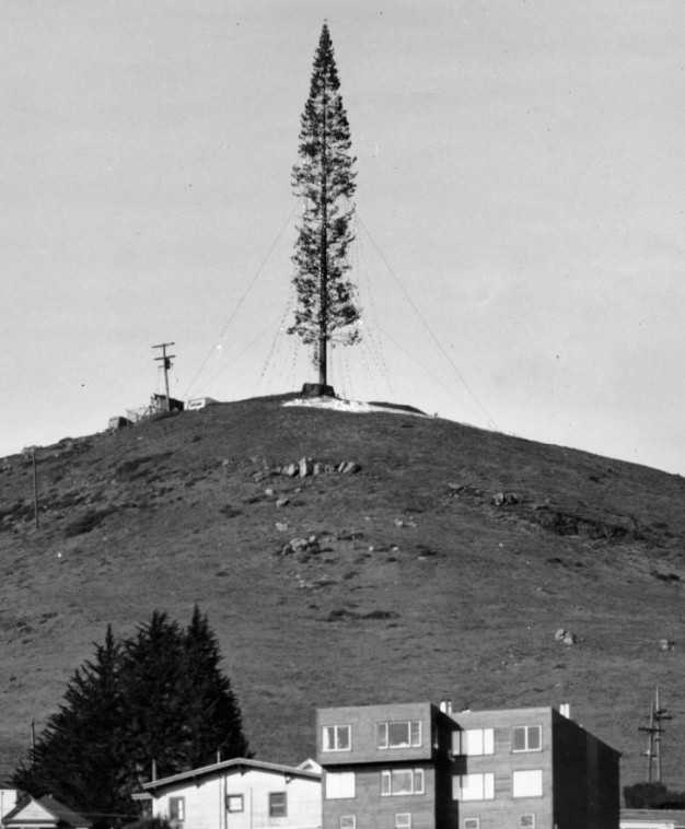
Christmas Tree Hill, San Francisco, California, circa 1950.
California Street looking west from Stockton, 1952.
The Mission District at 16th and Valencia Streets, 1958.
Proposed turntable site at Hyde and Beach, 1955.
Geary at Webster Street, looking west, 1958.
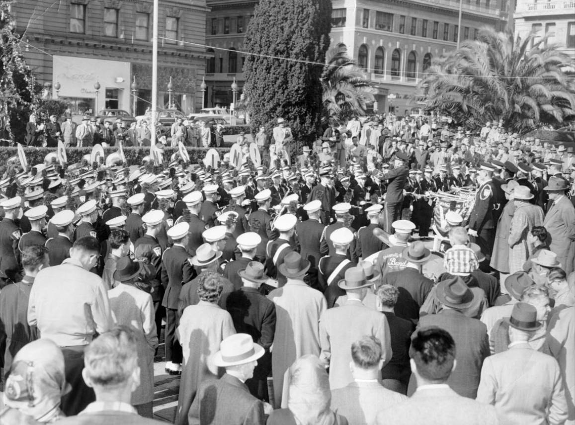
The University of Wisconsin band performs in Union Square, 1952.
California and Hyde Street, 1954.
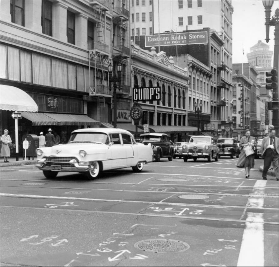
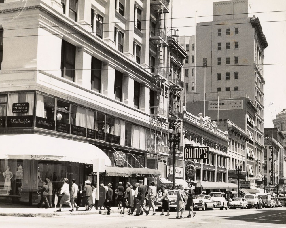
The intersection of Post and Powell Streets, 1950.
Traffic on Mission Street between 3rd and 4th Streets, 1951.
View north on Stockton Street from Geary, 1955.
Powell Street, circa 1950s.
Twin Peaks from the summit of Mt. Olympus, circa 1950s.
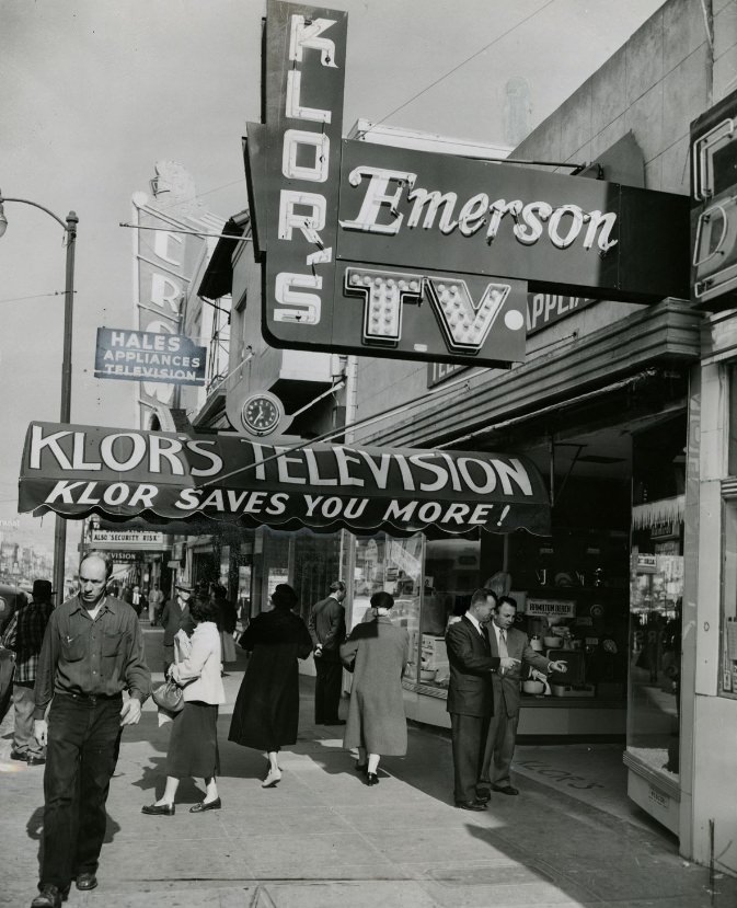
George Klor and Al Schmidt outside Klor’s Television and Appliance store, 1954.
The San Francisco Naval Shipyard, 1951.
Good Friday Services at Old St. Mary’s Church, 1951.
Near Union Square at Stockton and Geary Streets, 1955.
Track construction at Hyde and California Streets, 1957.
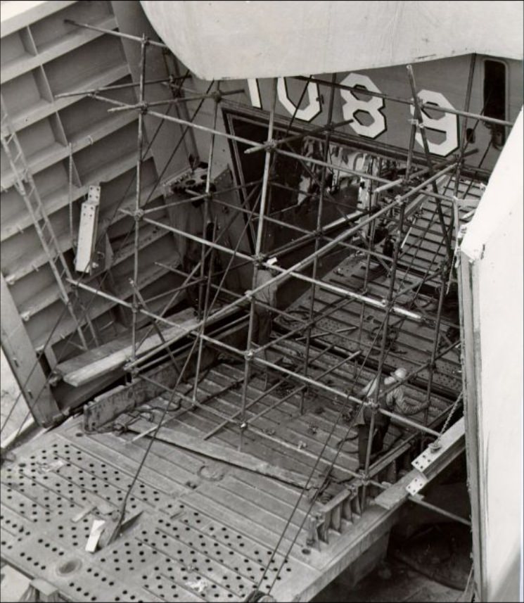
Workmen on a landing ship tank at Hunter’s Point drydock, 1953.
Hyde and California, west track looking south, 1954.
View east on California Street near Market, 1957.
Civic Center exhibition, 1954.
Embarcadero and Market, looking south, 1954.
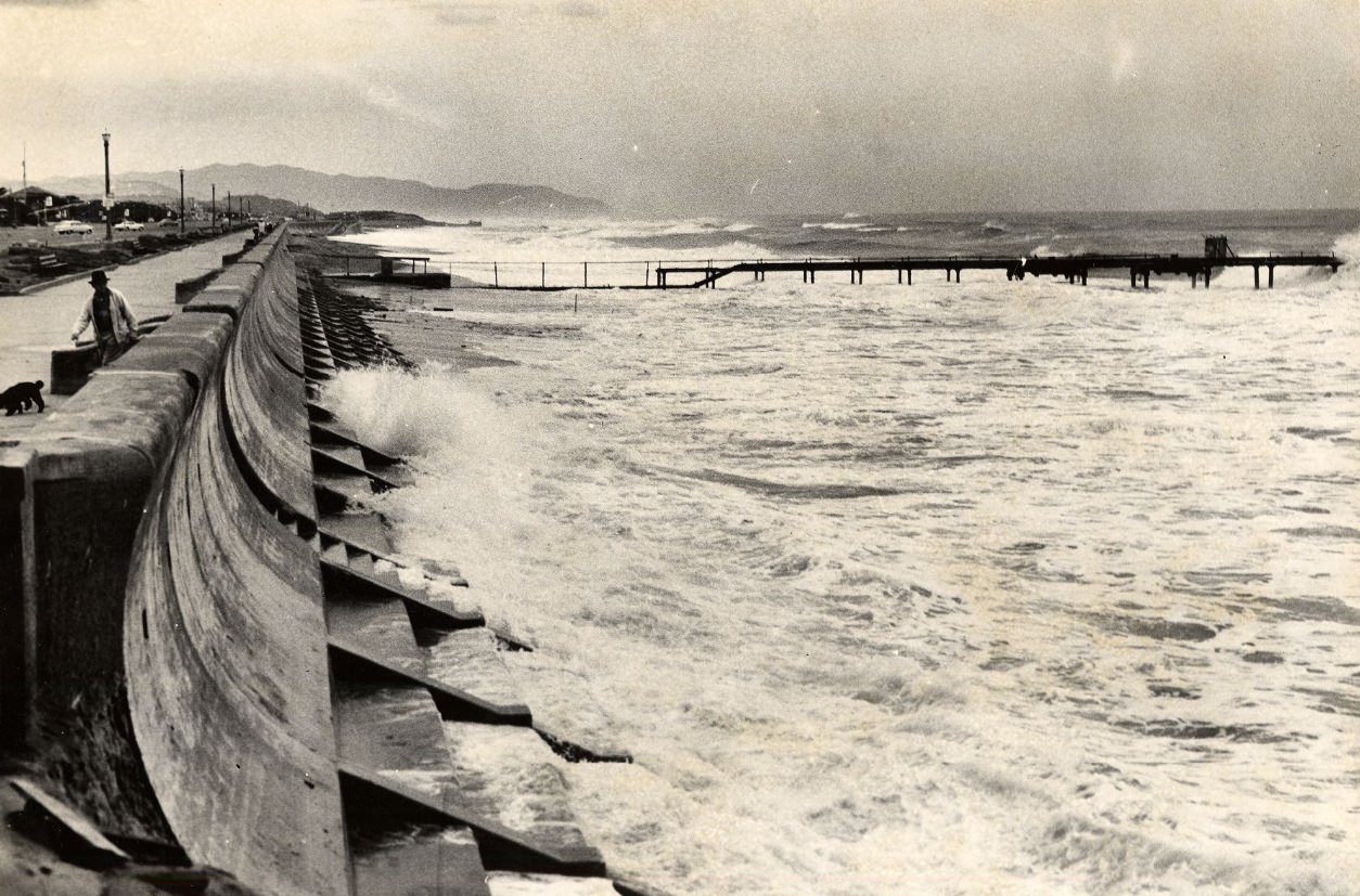
High tide at Ocean Beach, 1959.
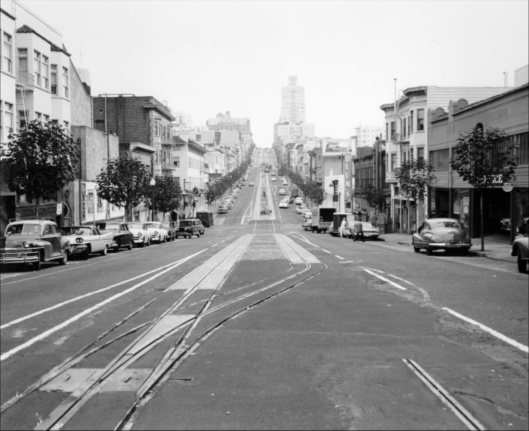
Hyde Street between Jackson and Pacific, 1957.
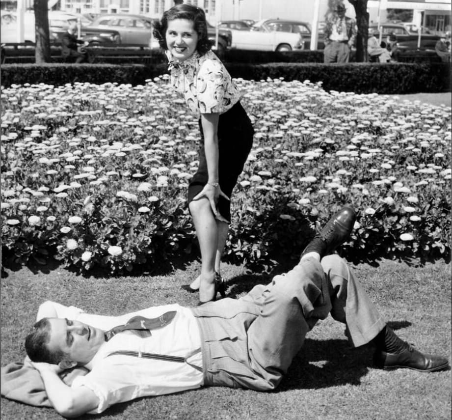
Ameila Balian near sleeping Baron Muller on Civic Center Plaza lawn, 1951.
Cable car track construction on Mason Street north of Broadway, 1951.
Old St. Mary’s Church, 1953.
Gravity curve on Mason and Washington Streets, 1950.
Boats docked at Fisherman’s Wharf, 1958.
Market Street, circa 1950s.
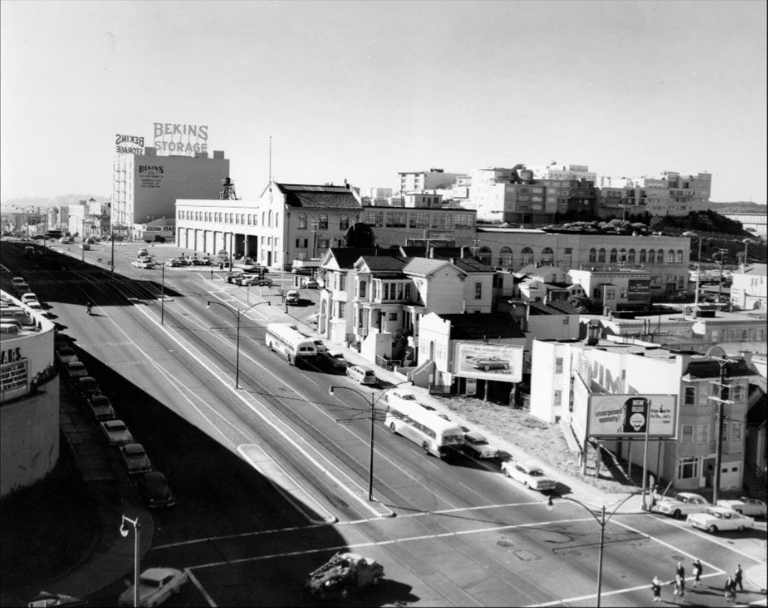
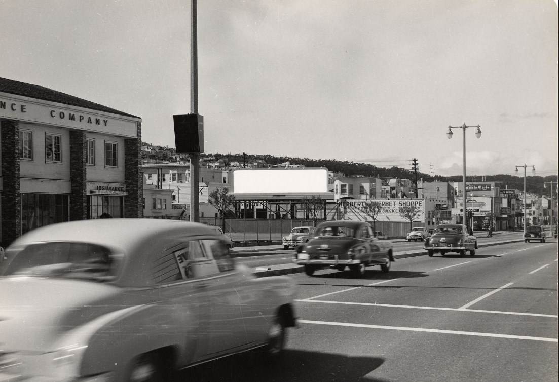
Geary Boulevard, 1958.
View west on California Street at Front, 1957.
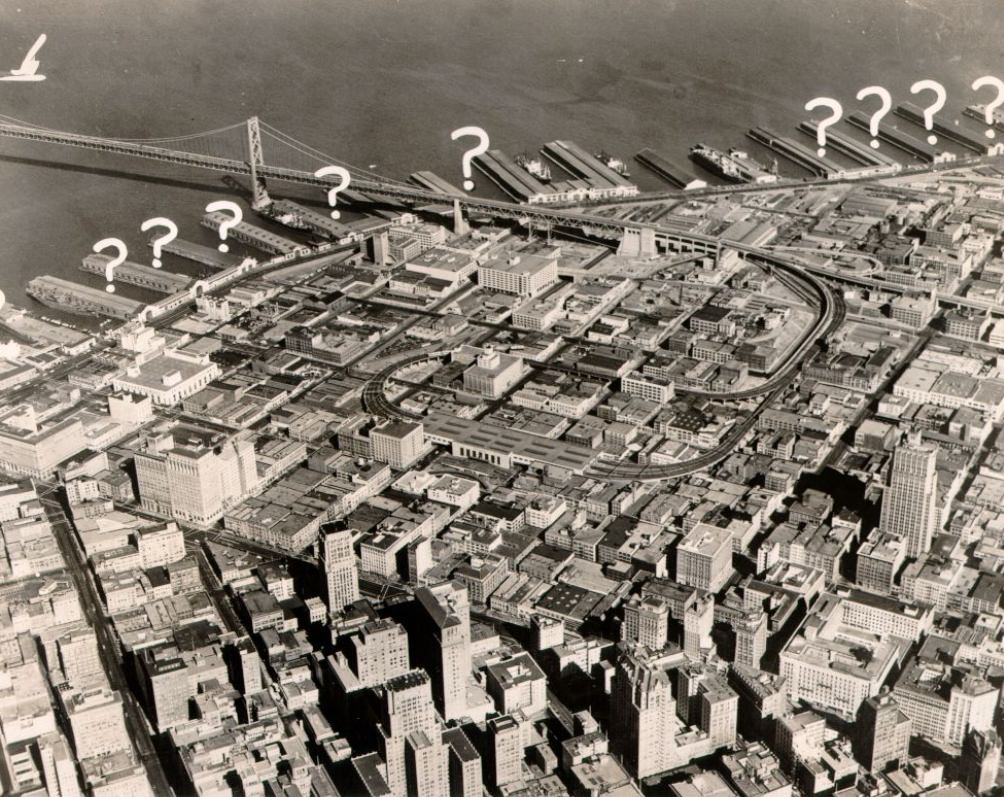
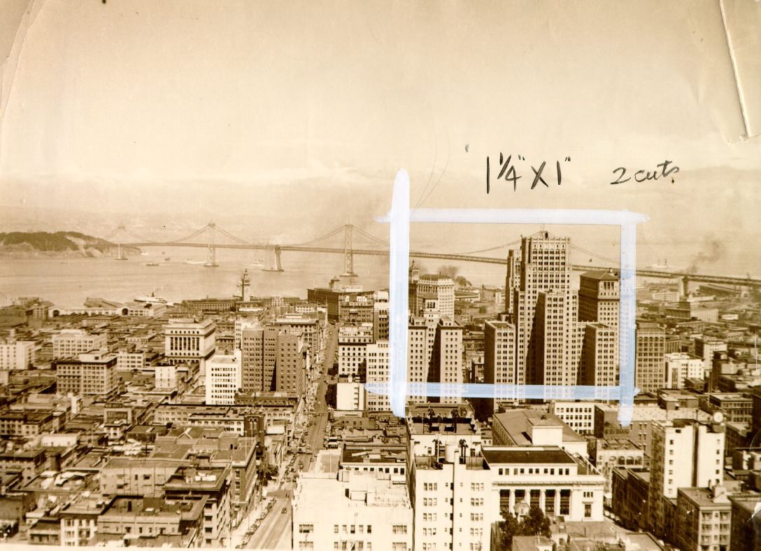
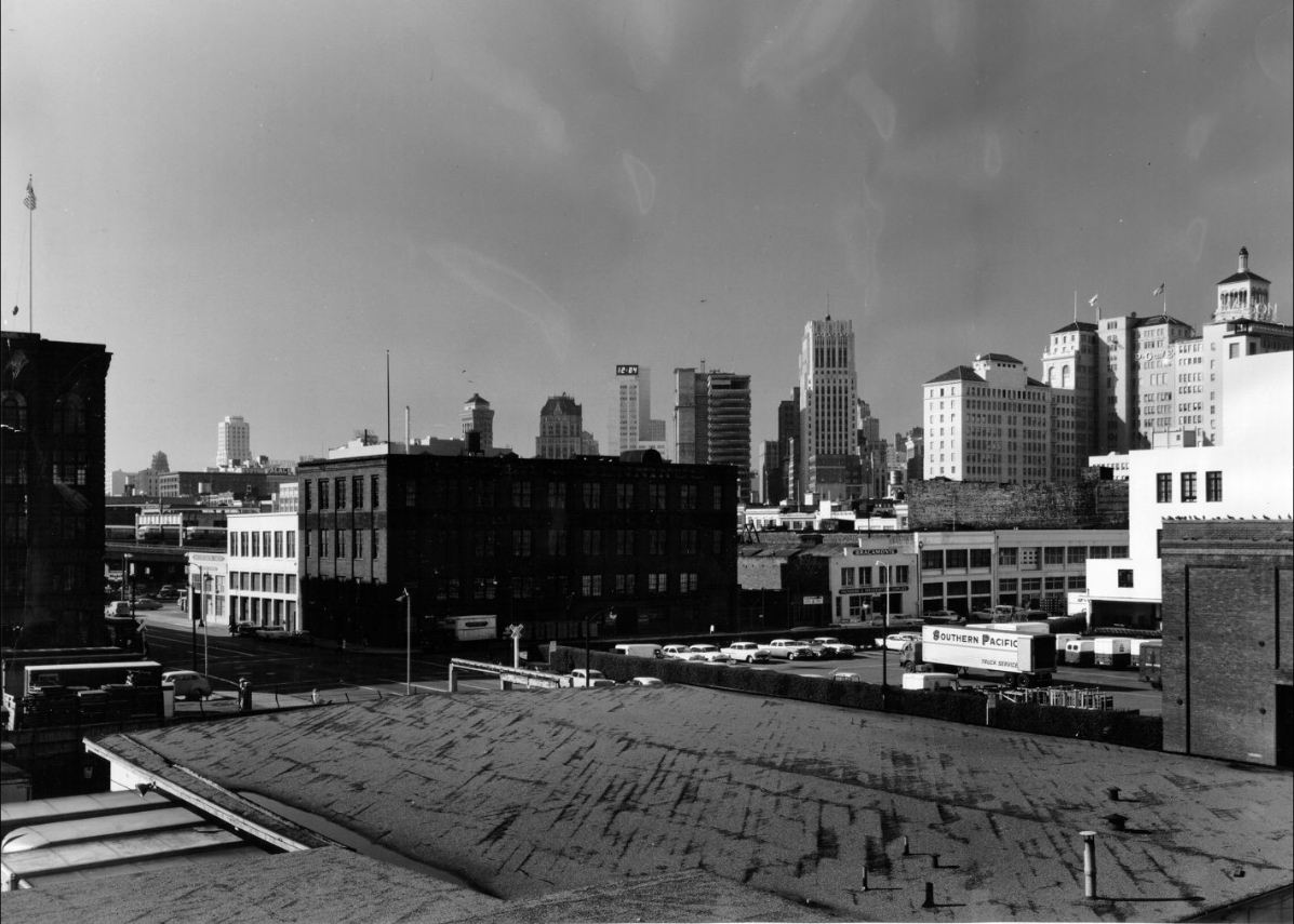
Aerial view of the South of Market area and the Bay Bridge, 1950.
View west on California Street west of Kearny, 1957.
View east on California at Van Ness, 1957.
California Street west of Hyde, 1957.
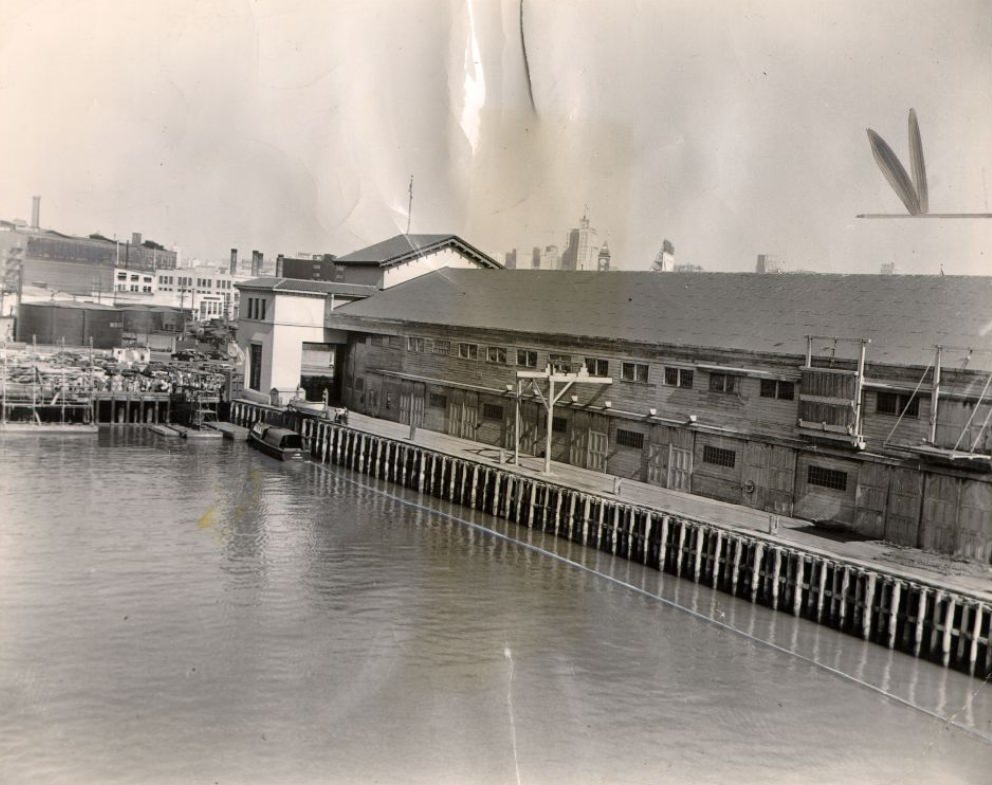
Unidentified pier at the San Francisco waterfront, 1951.
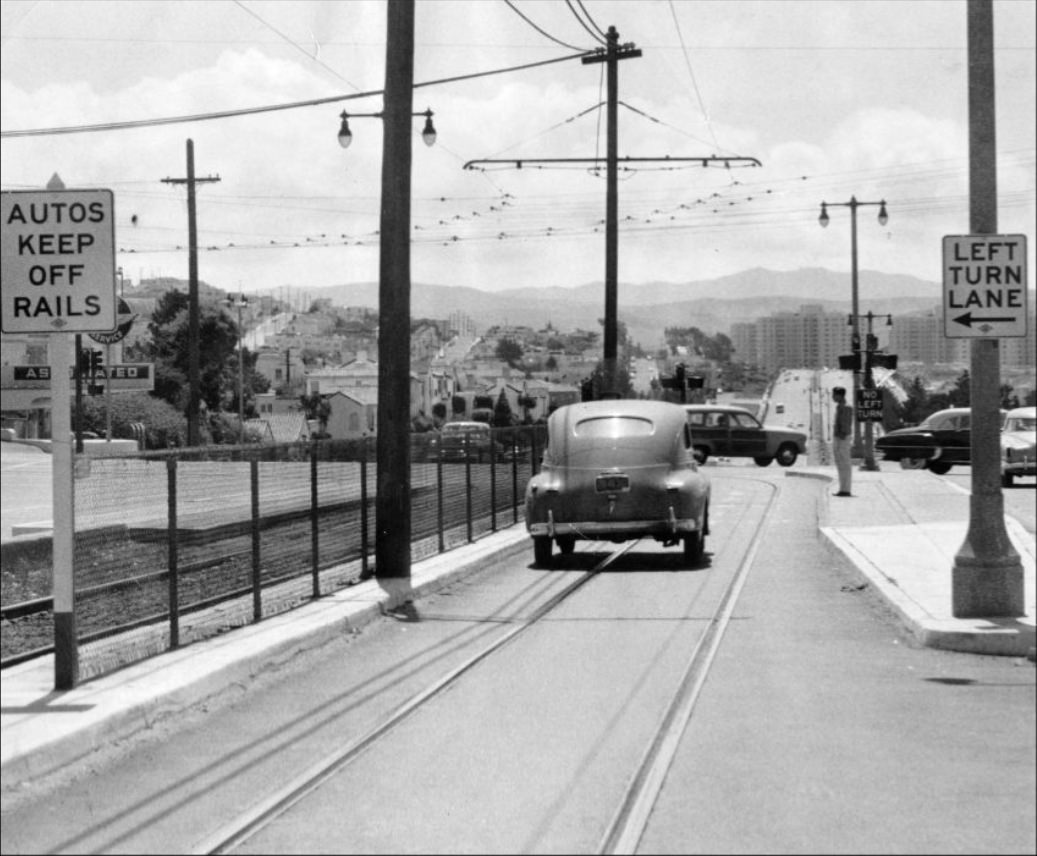
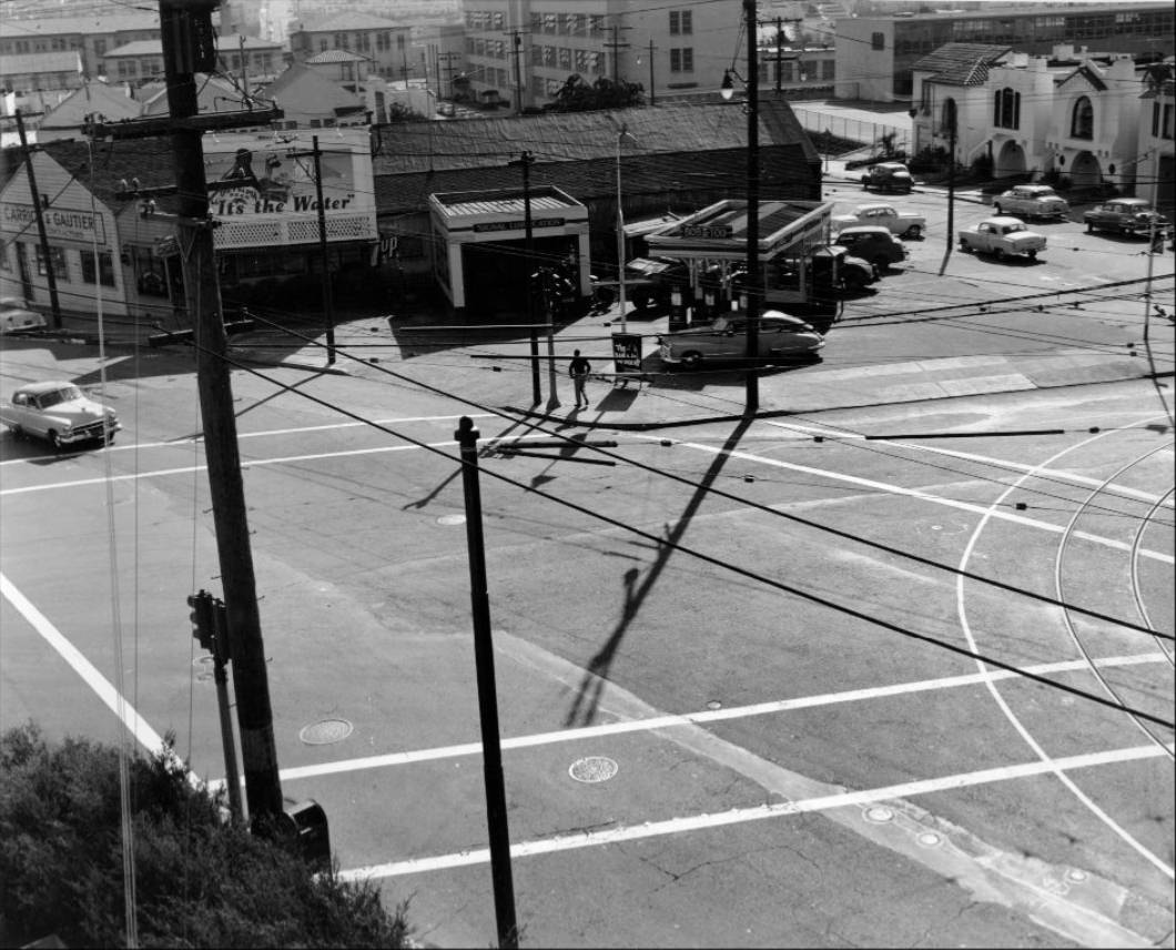
Confusing signs at Ocean Avenue and Junipero Serra Boulevard, 1953.
Westerly view of California Street between Hyde and Larkin, 1957.
California and Market Street, 1957.
View southwest at Hyde on California Street, 1957.
View east on California at Battery, 1958.
Deliveries to produce markets on Washington Street, 1952.
View west near Front Street on California, 1958.
Looking north from Union and Montgomery Street with Coit Tower in the background, 1952.
California Street at Van Ness, view east, 1957.
Bayshore Boulevard, 1950.
Construction at California and Hyde Street, 1957.
Donald and Josephine Royer with their son Curtis, 1954.
Jackson Street and Hyde, 1955.
Hyde Street between Jackson and Pacific, 1957.
View west on Washington Street from Drumm in the produce district, 1956.
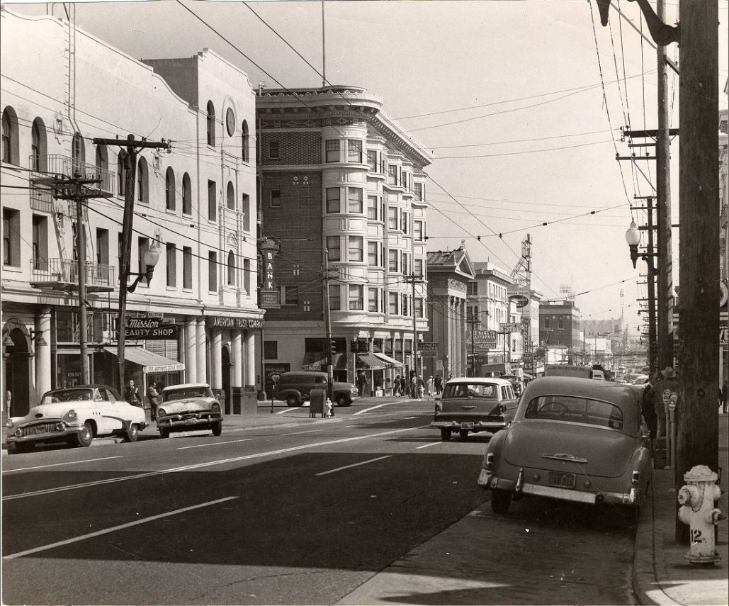
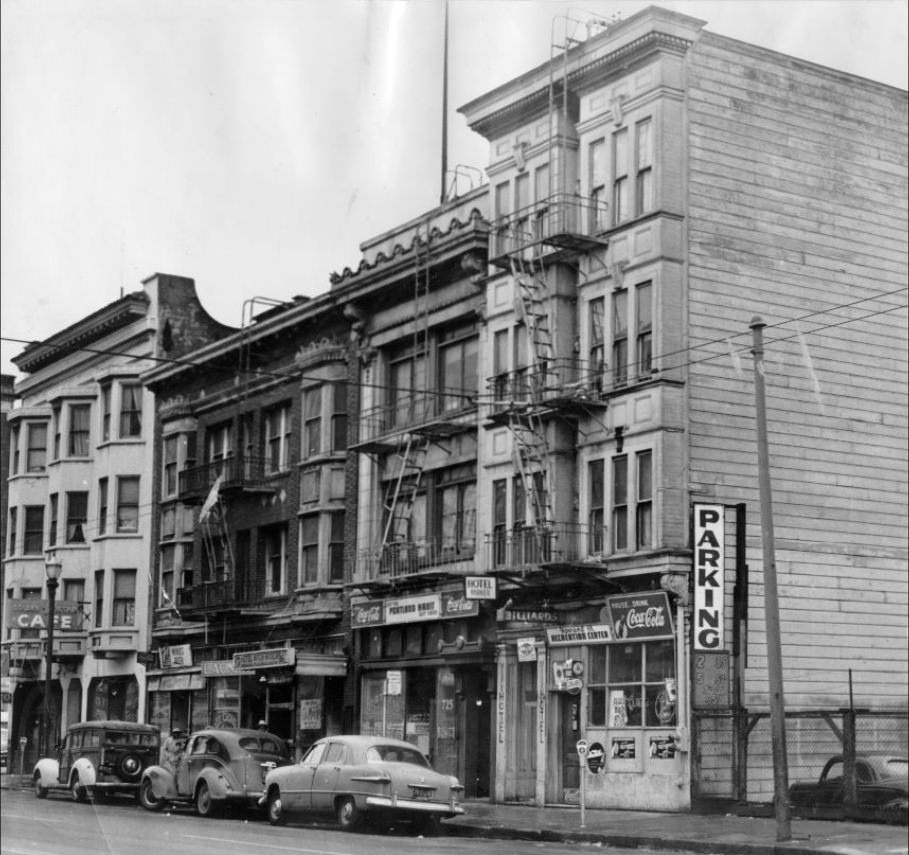
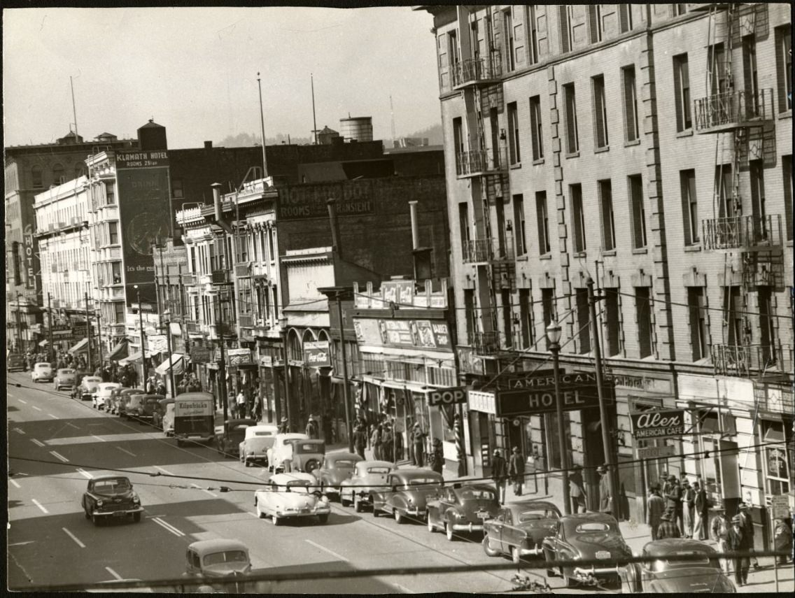
Hotel Parker and Hotel Ritch Annex on Howard Street, 1955.
Cable car at Powell and Jackson Street, northwesterly direction, 1954.
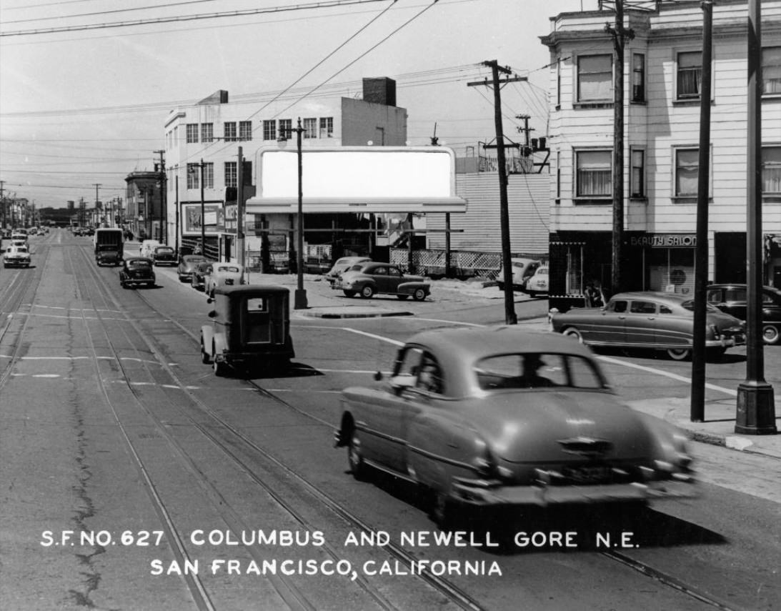
Columbus and Newell Gore, northeast in San Francisco, circa 1950s.
California at Market Street, 1957.
Castro at 24th Street, circa 1950s.
400 block of Kearny Street, 1956.
Crowd at Geary and Stockton Streets, 1957.
Deliveries to produce markets at Washington and Davis Streets, 1956.
Site of a water main break at Geary and Divisadero, 1956.
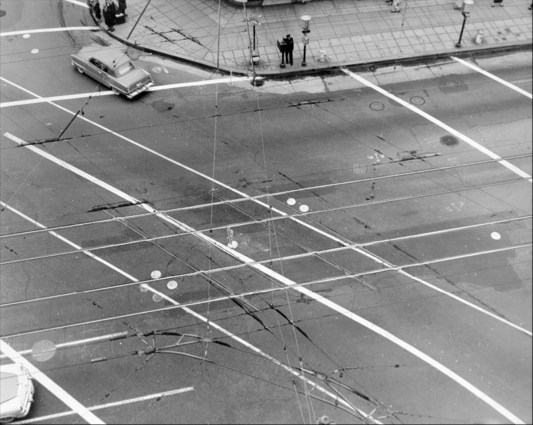
Intersection of Stockton, Market, and Ellis Streets, 1956.
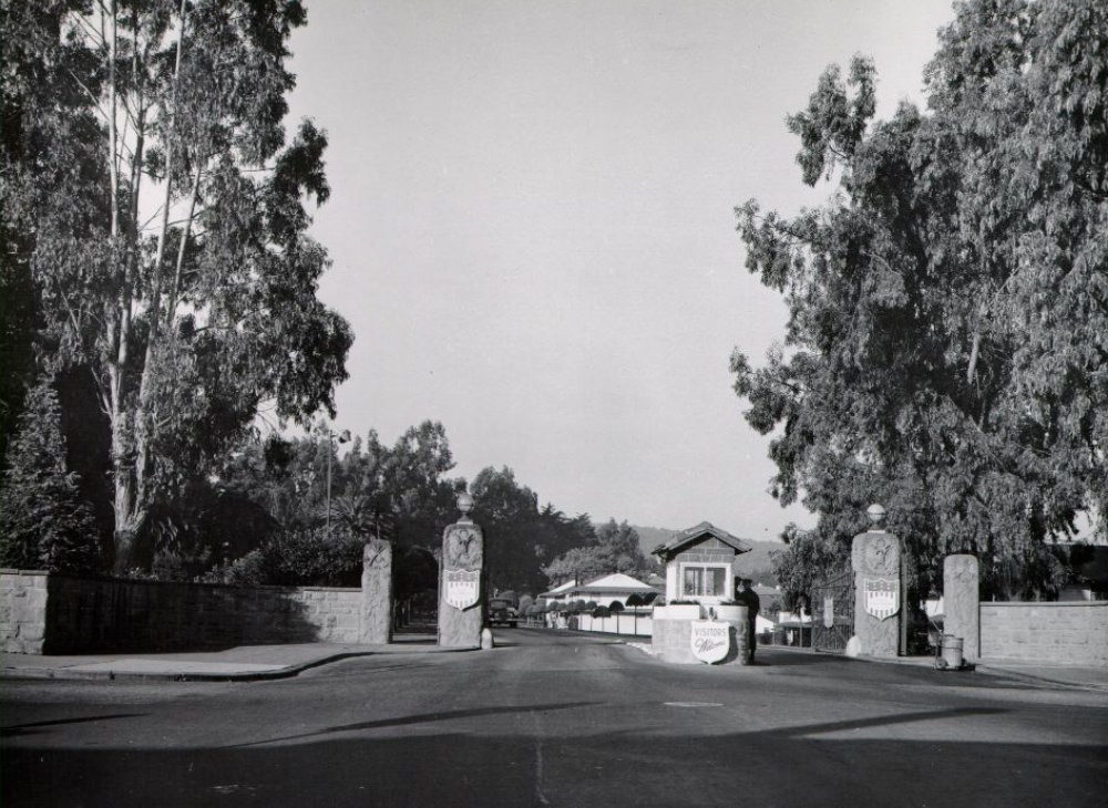
Main Entrance to the Presidio on Lombard Street, circa 1956.
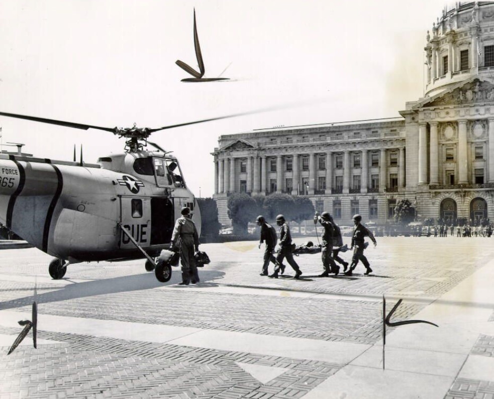
Helicopter rescue at the Civic Center, 1953.
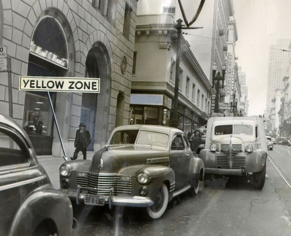
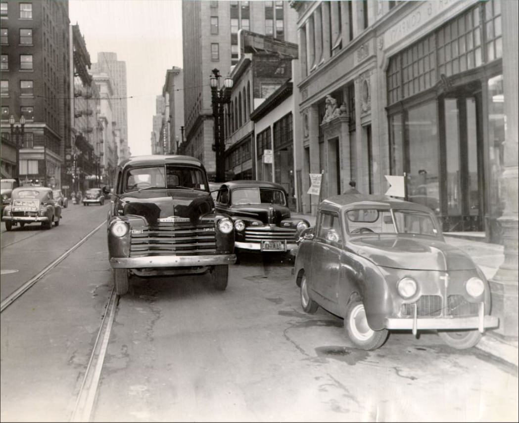
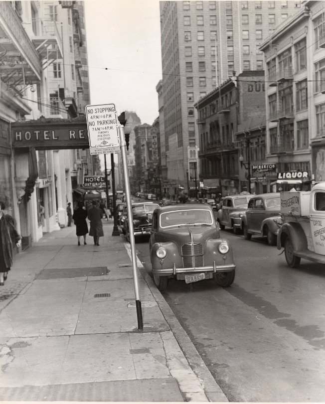
Truck parked illegally on Sutter near Montgomery Street, 1950.
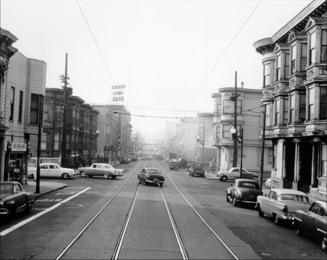
Ocean Avenue at Manor, facing east, 1951.
P.G.& E. workers installing equipment at 8th and Mission Streets, 1953.
Stockton and Market Street, 1955.
Intersection of Stockton and Market Streets, 1955.
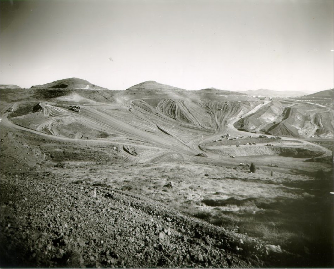
Construction site on Twin Peaks, 1954.
View west on California and Hyde Street, 1954.
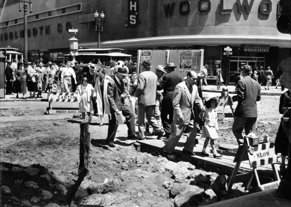
Pedestrians on a temporary walkway at Powell and Eddy Street, 1953.
Car parked illegally on Sutter Street, 1950.
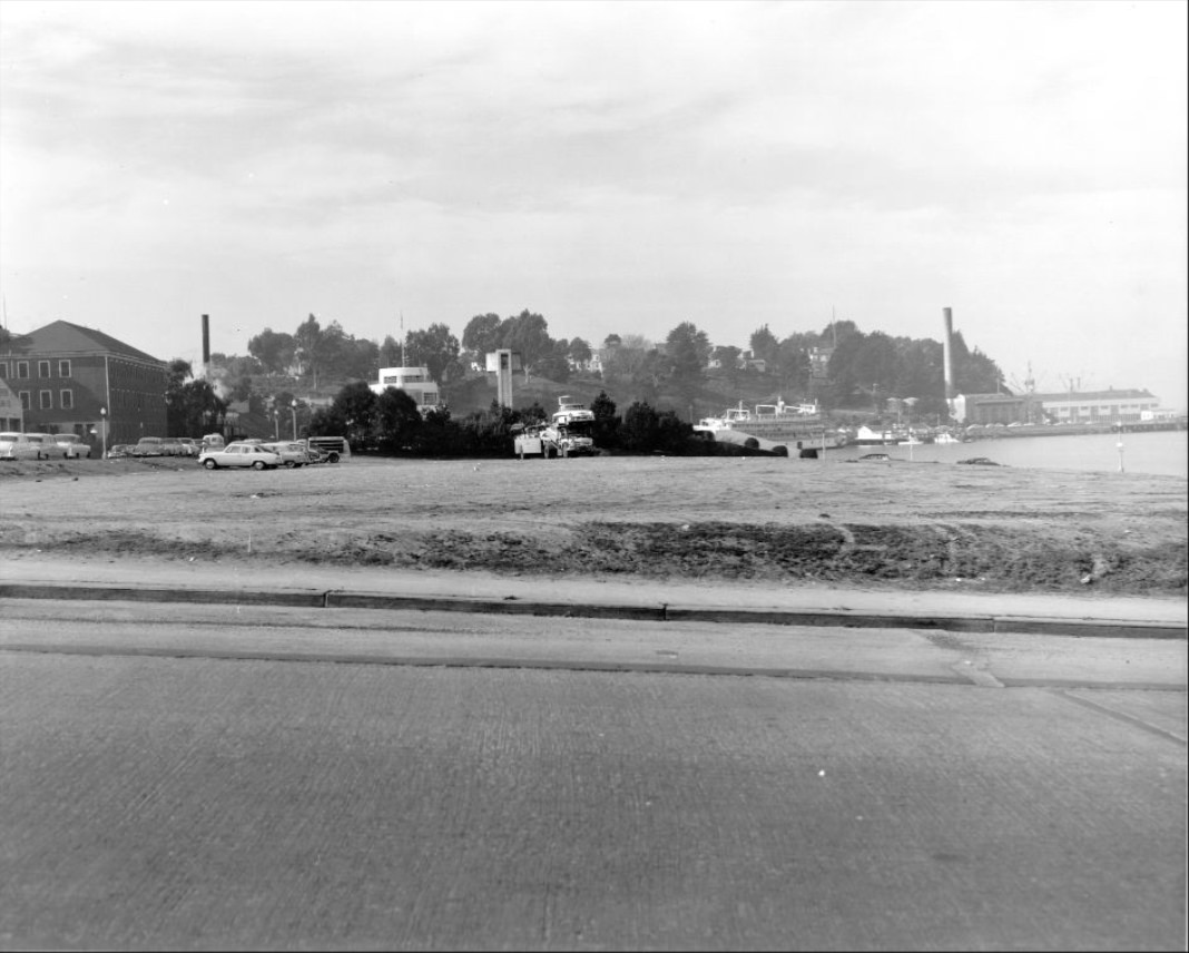
Hunters Point Naval Shipyard, 1950.
Post Street at Stockton, 1955.
California Street, circa 1950s.
Crowding on Stockton Street, 1957.
Construction along Alemany and Junipero Serra Boulevard, 1951.
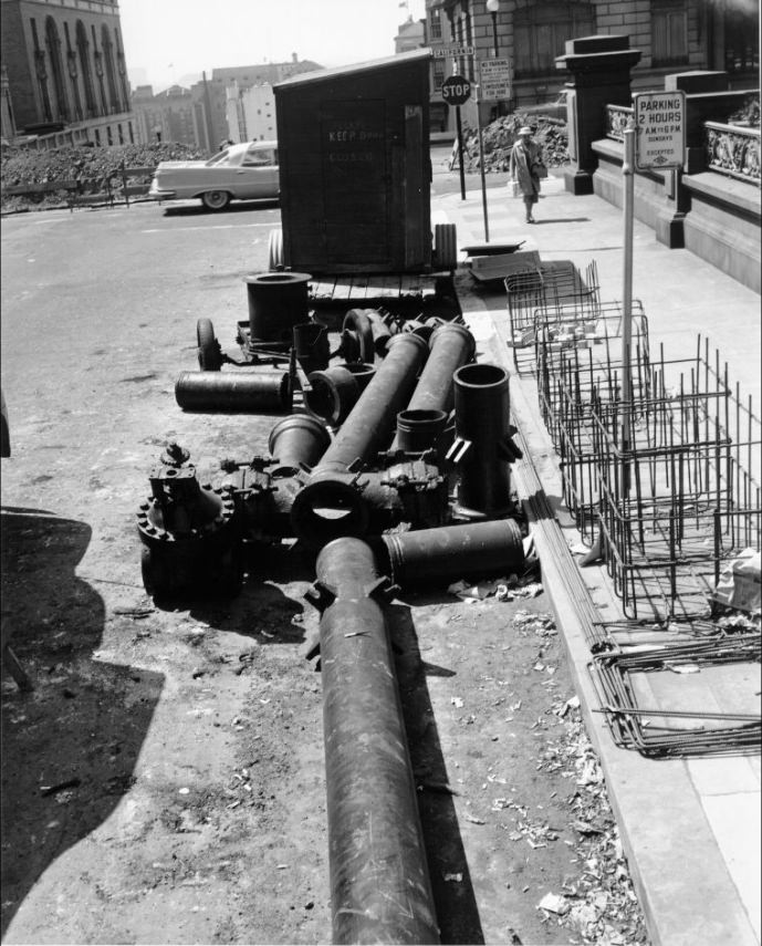
Water pipes at the intersection of Mason and California, 1957.
View west on California Street at Taylor, 1957.
View east on California Street west of Mason, 1957.
Kearny Street looking towards Market Street, circa 1950s.
Produce delivery trucks on Washington Street, 1956.
Jackson and Hyde Streets, 1957.
Four youths at Telegraph Hill Settlement House, 1950.
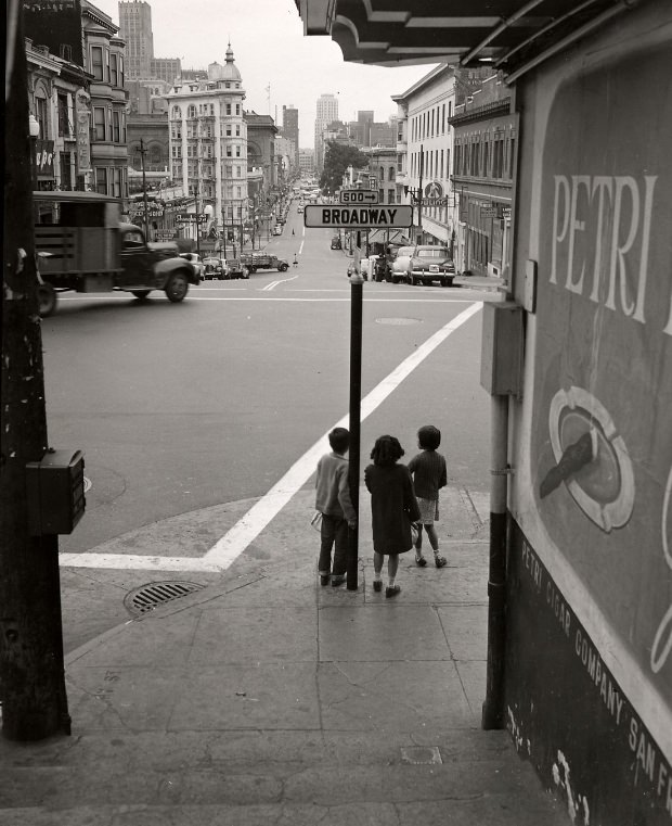
View of Kearny Street from Broadway, circa 1950s.
View of downtown San Francisco and Bay Bridge, 1954.
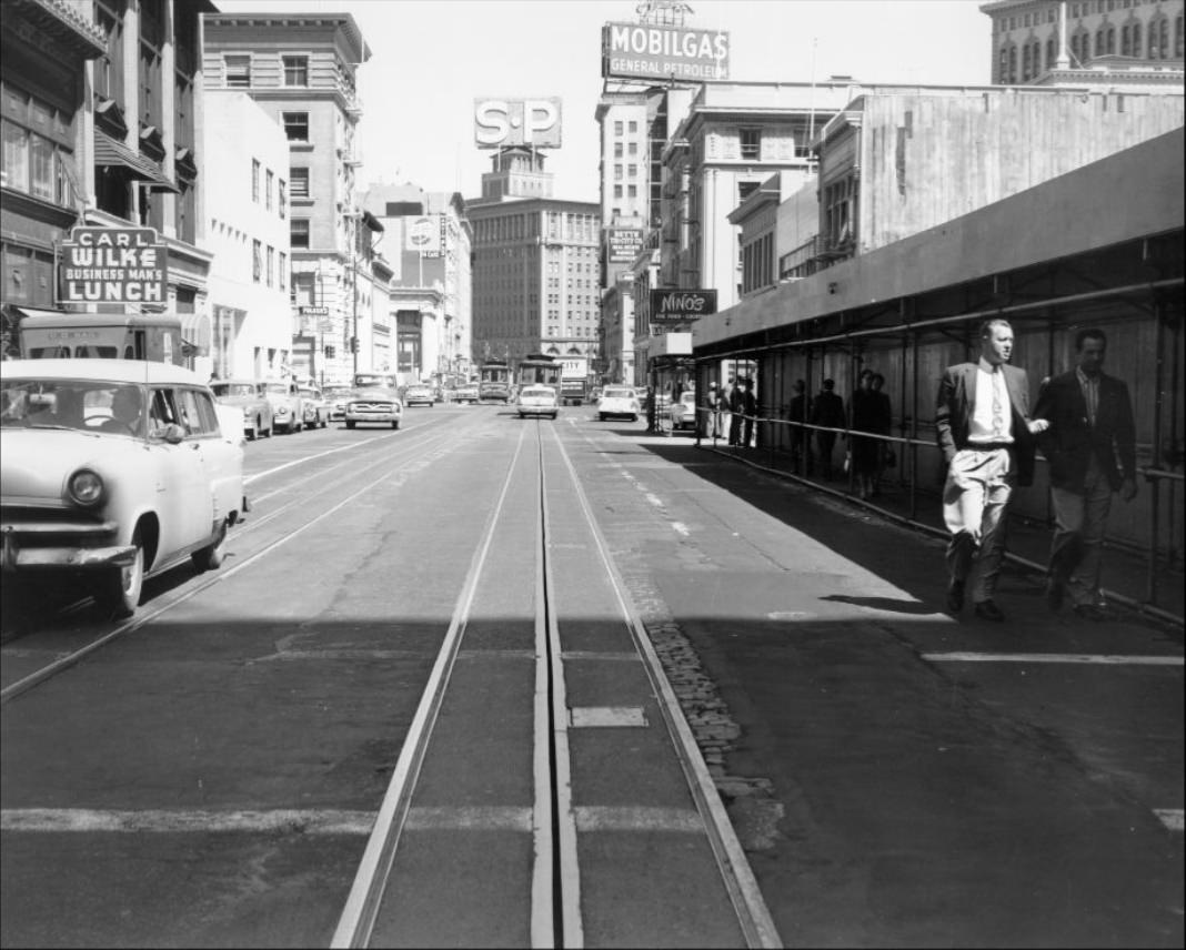
Powell Street, 1954.
Lombard Street near Fillmore, circa 1950s.
Intersection of Stockton and Geary Streets, 1955.
California Street & Van Ness, 1955.
Road construction on Ocean Avenue at Cedro, 1951.
View of Ocean Beach from Sutro Heights, circa 1950s.
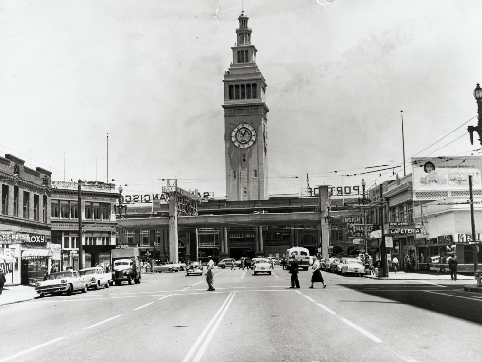
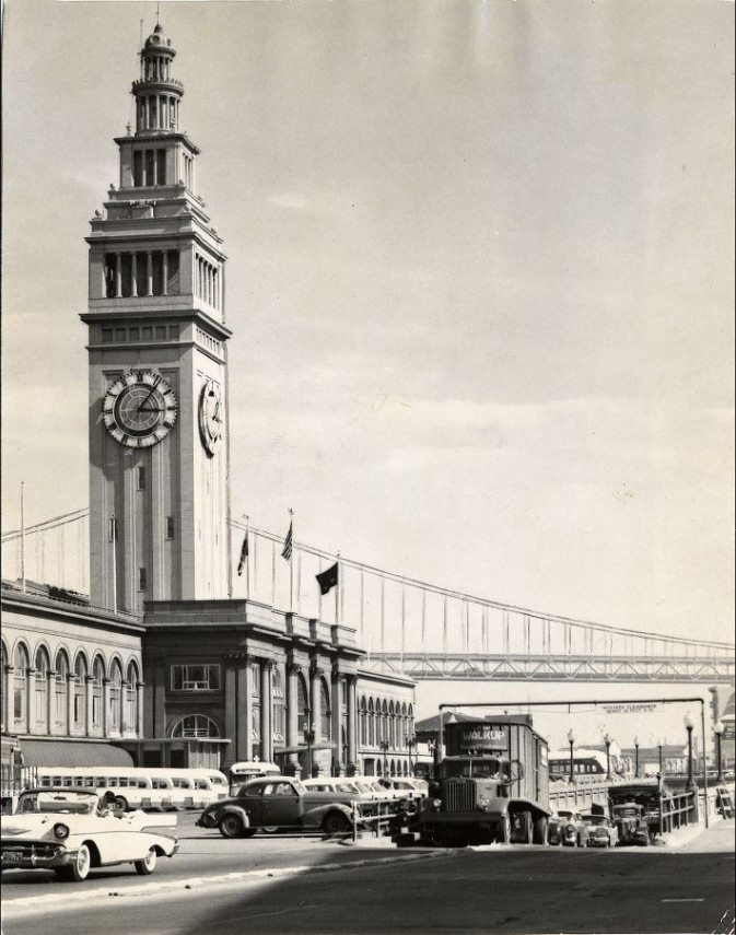
View of the Ferry Building from Market Street, 1958.
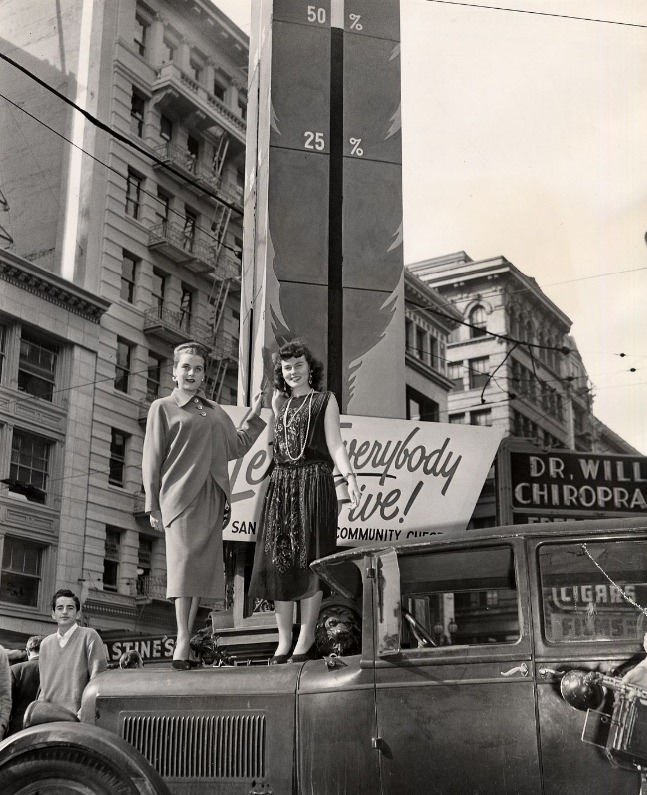
Women in front of the Community Chest’s thermometer at Lotta’s Fountain, 1947.
Deliveries to produce markets on Washington Street, circa 1950s.
View of the San Francisco waterfront from Telegraph Hill, circa 1952.
View east on California near Market Street, 1957.
Market Street, circa 1950s.
Hyde Street between Jackson and Pacific, 1957.
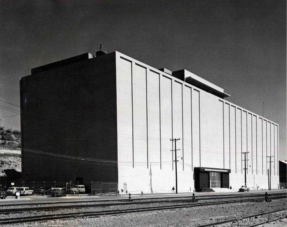
The U.S. Naval Radiological Defense Lab at the San Francisco Naval Shipyard, 1955.
View south from Hyde and Beach, 1956.
View west on California Street at Van Ness, 1957.
Track construction at Hyde and Jackson streets, 1956.
Civic Center Plaza, 1950.
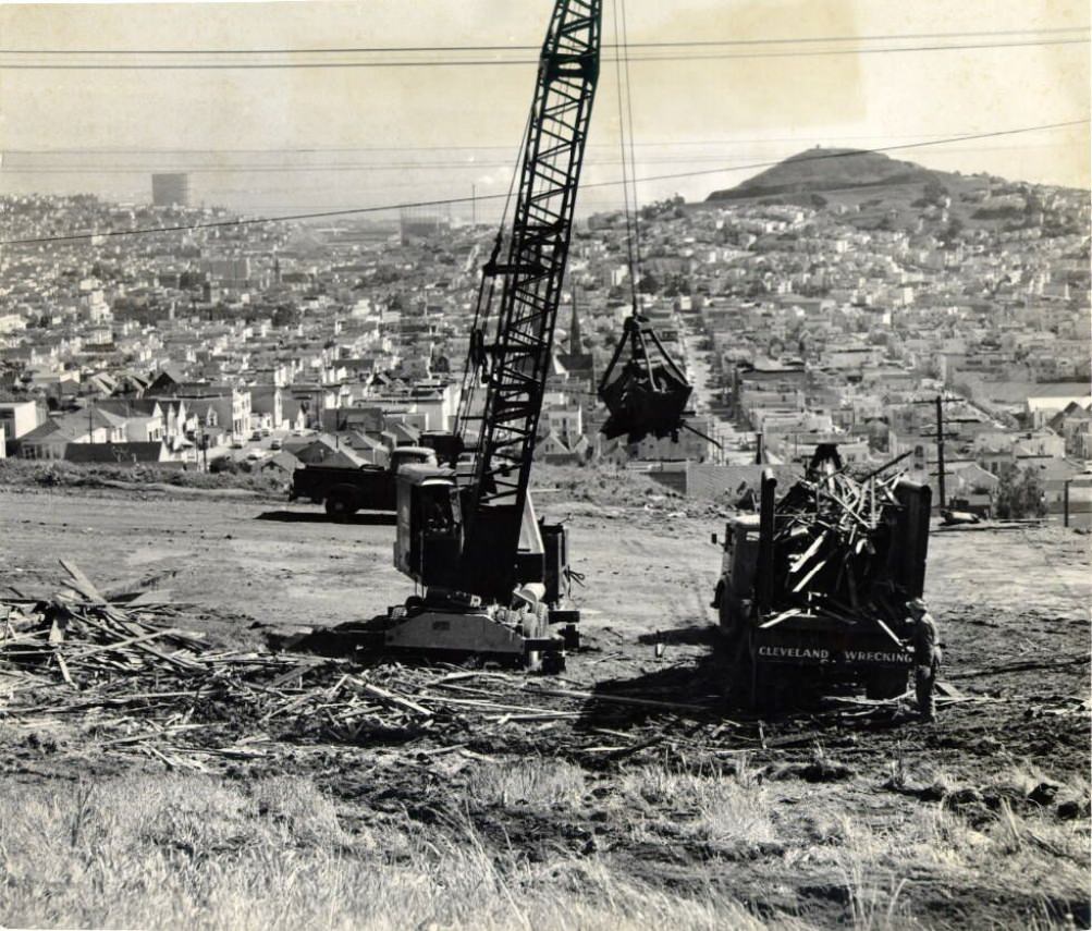
Wrecking company operations in Diamond Heights, 1957.
Maiden Lane, circa 1957.
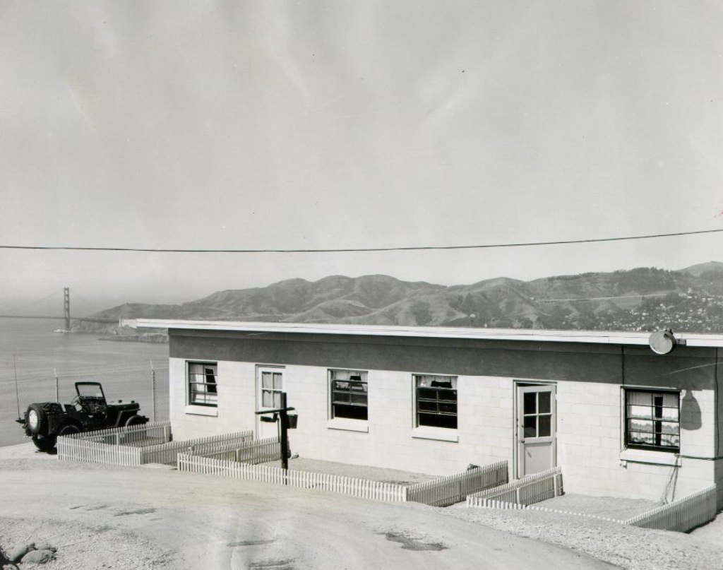
The ‘Ready-Room’ on Angel Island, 1957.
Looking north on Hyde Street at Washington, 1955.
Crowds at Old St. Mary’s Church, 1954.
Downtown produce district, 1950s
Skyline towards Sutro Forest from Alta Plaza, circa 1950s.
Maiden Lane, 1959.
California Street at Hyde, 1957.
Construction on California and Hyde streets, 1957.
Jackson Street between Powell and Mason, 1953.
View west on California near Front, 1958.
Intersection of Spear and Howard Streets, 1959.
Geary at Steiner Street, looking east, 1958.
View east on California at Polk Street, 1957.
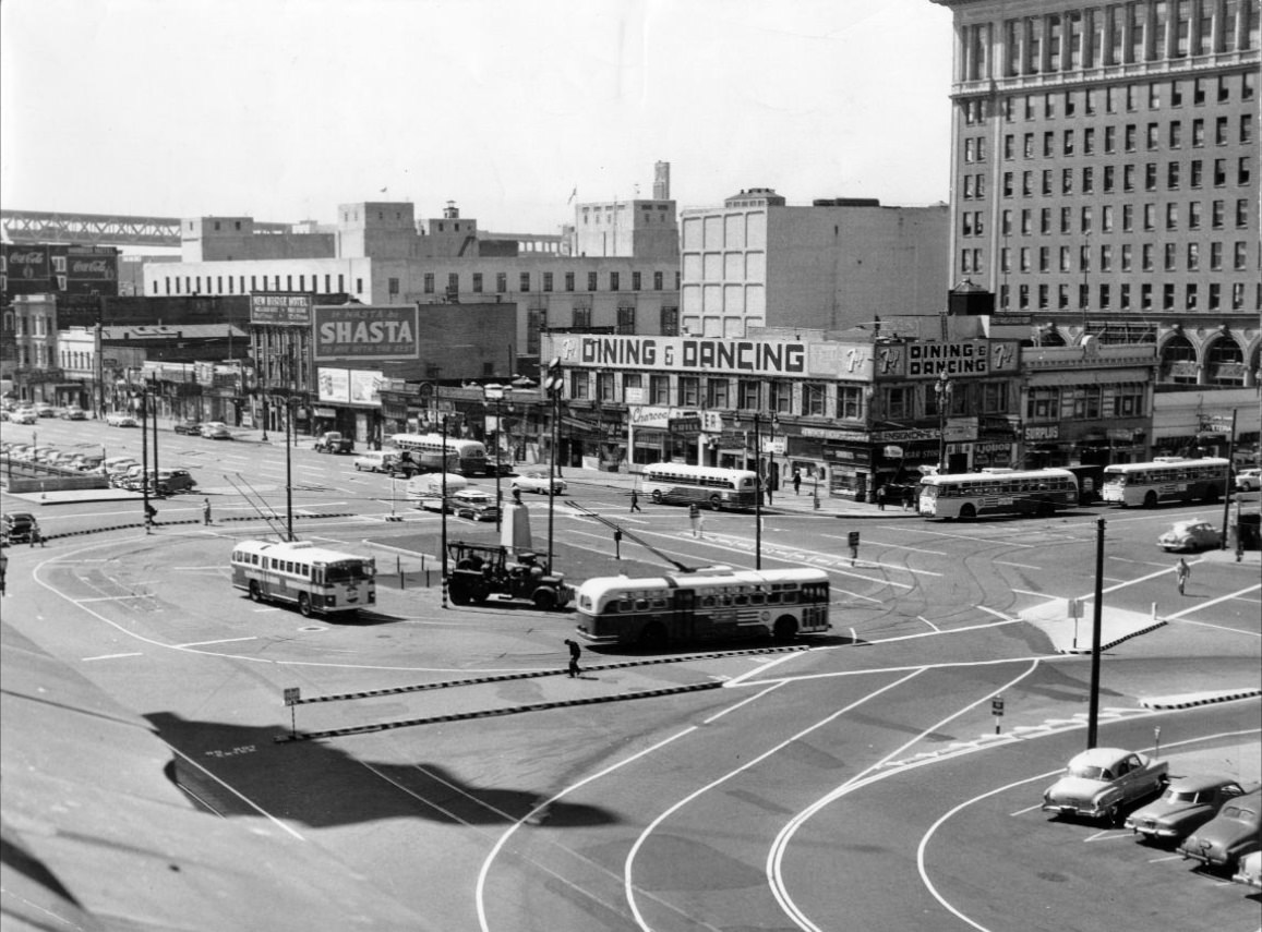
View of the Embarcadero subway in front of the Ferry Building, 1957.
Hyde Street between Jackson and Pacific with a special crossover, 1957.
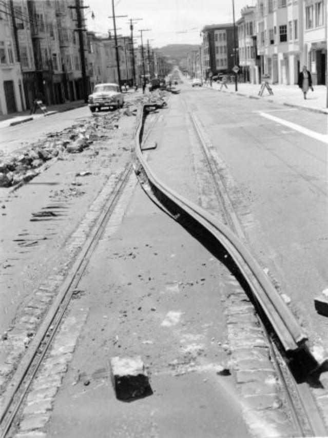
Chestnut Street during track removal project, 1955.
Jackson and Hyde Streets, 1955.
Overpass near Park Merced on Junipero Serra Boulevard, 1952.
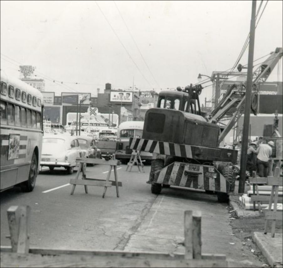
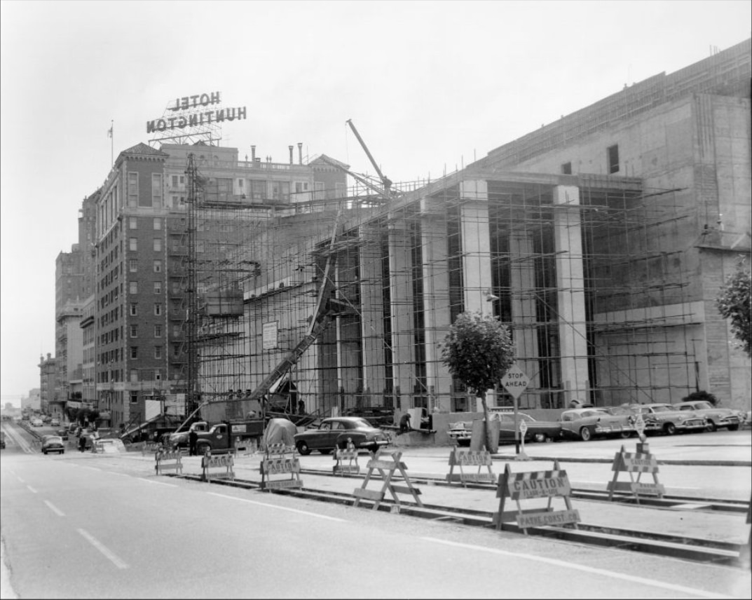
Construction underway on Geary Boulevard, circa 1950s.
Downtown view from the Telephone Co. building, 1951.
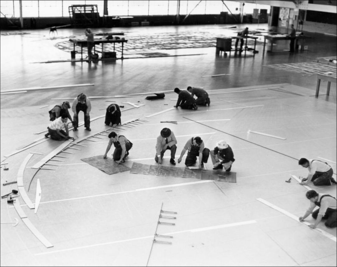
Crew working on the Bon Homme Richard aircraft carrier, 1953.
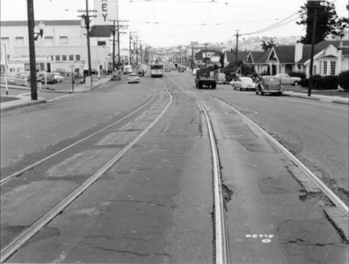
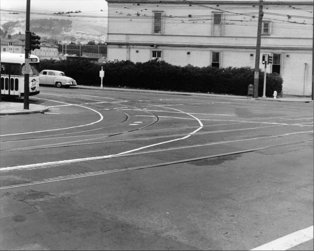
Streetcar at Geary and Masonic, circa 1950s.
View of Mount Davidson from Twin Peaks, 1954.
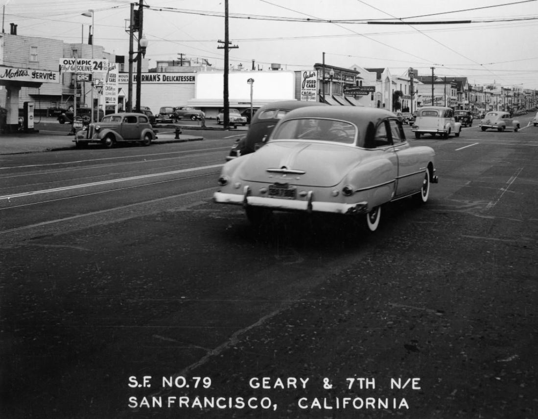
Geary at 7th Avenue, circa 1950s.
Construction on Powell Street between Geary and Post, 1953.
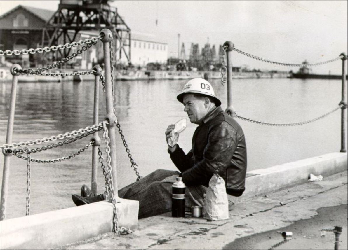
Clayton Hubacher eating lunch at the San Francisco Naval Shipyard, 1953.
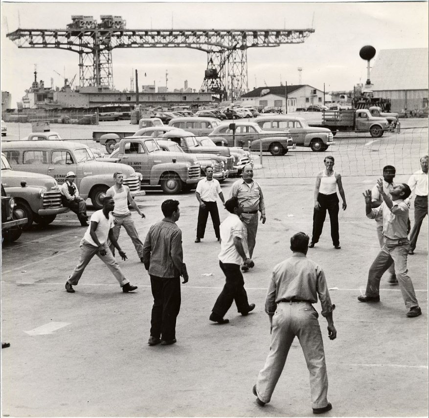
Workmen playing volleyball at Hunter’s Point Naval Shipyard, 1953.
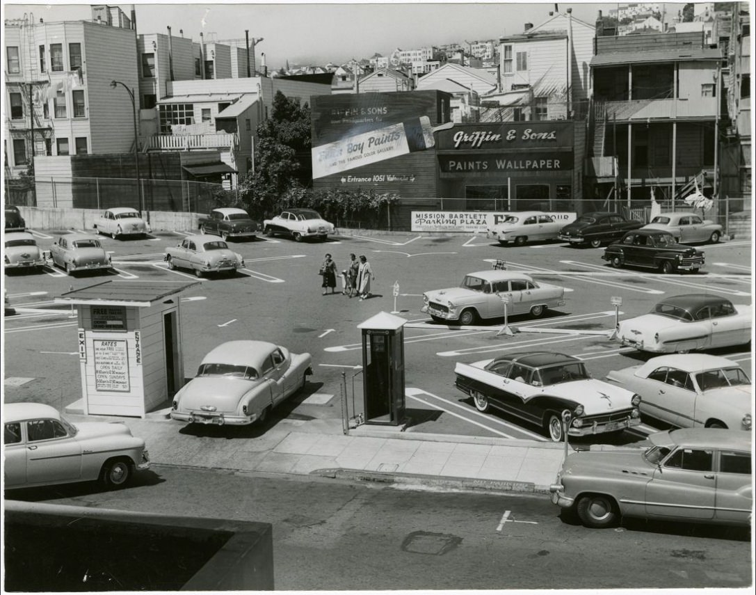
Mission-Bartlett Parking Plaza, circa 1957.
View west on California Street at Polk, 1957.
Jackson Street between Powell and Mason, 1953.
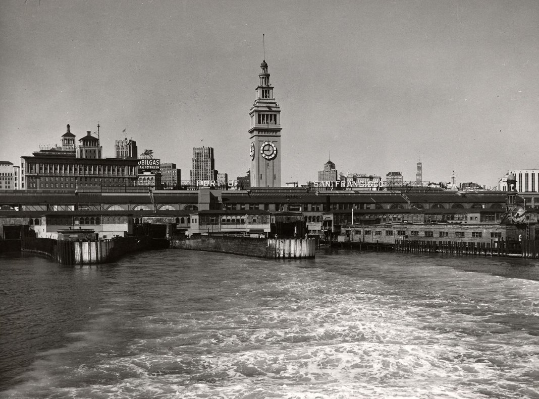
View of Ferry Building from a ferry on the bay, circa 1950s.
California Street, 1950.
Pacific Gas & Electric Company workers at Pine and Montgomery Streets, 1955.
Produce delivery trucks on Washington Street, 1956.
View north on Powell and Clay Street, 1953.
Looking south on Hyde Street at California, 1954.
View on Hyde Street south side of Chestnut, 1955.
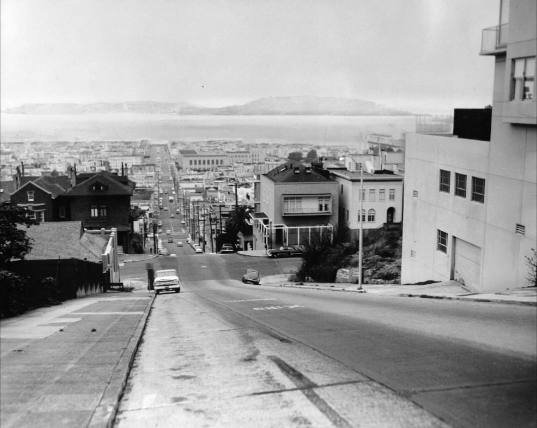
Fillmore Street hill between Vallejo and Green streets, 1959.
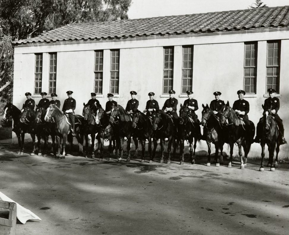
San Francisco Police Department mounted policemen by the SFPD stables in Golden Gate Park, 1950s.
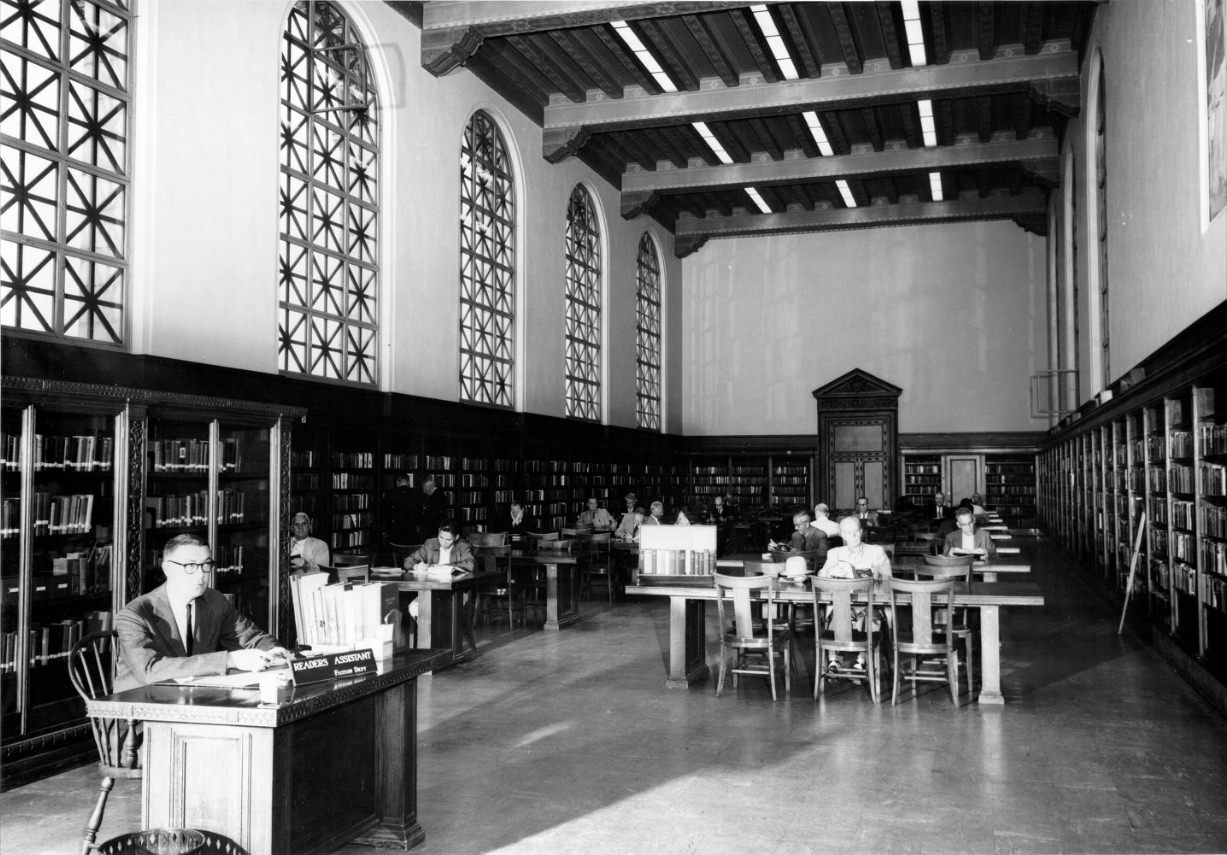
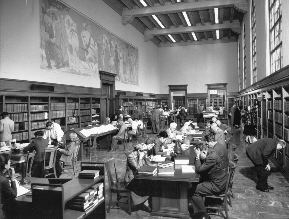
Reading Room at the Main Library, circa 1950s.
Ocean Beach south of Fleishhacker Pool, 1952.
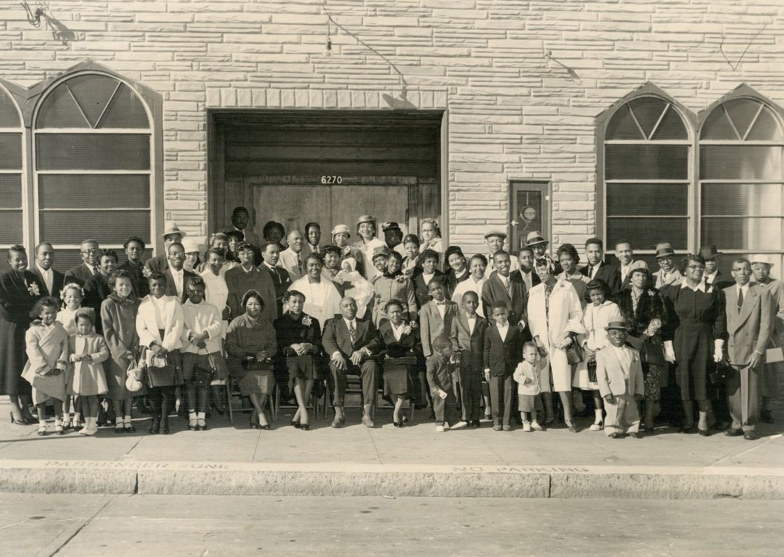
In front of Evergreen Baptist Church, circa 1950s.
Main Library, Reference Room, 1950s
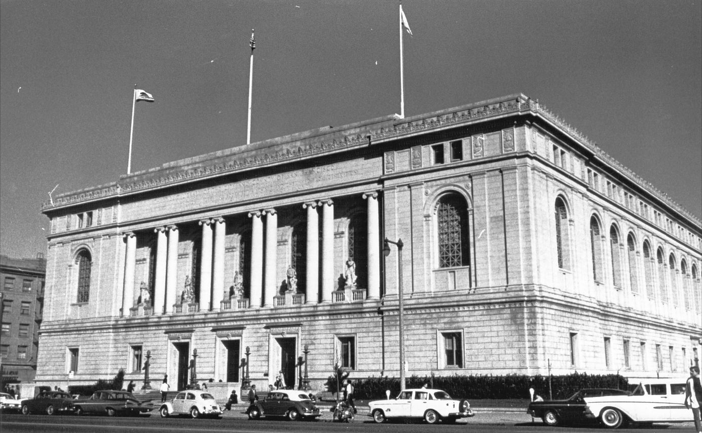
Exterior view of Main Library, 1950s
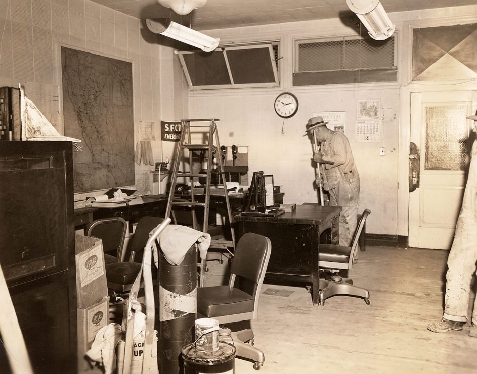
Janitors cleaning a small office in the Old Hall of Justice, 1958.
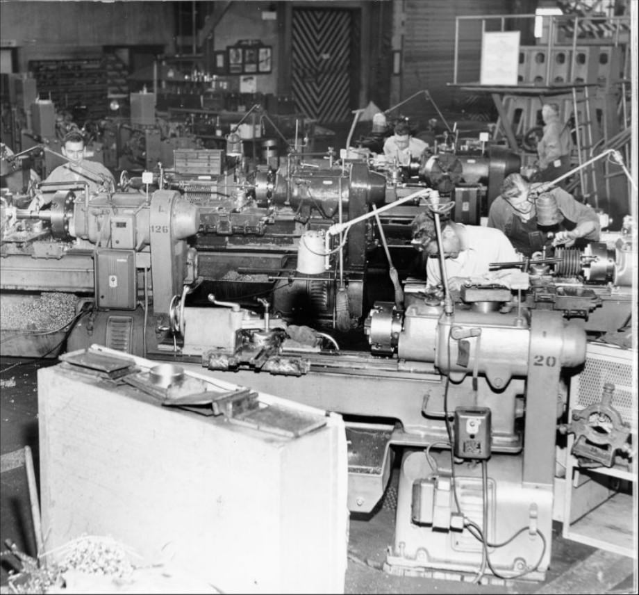
Workmen operating small engine lathes in the Inside Machine Shop, 1953.
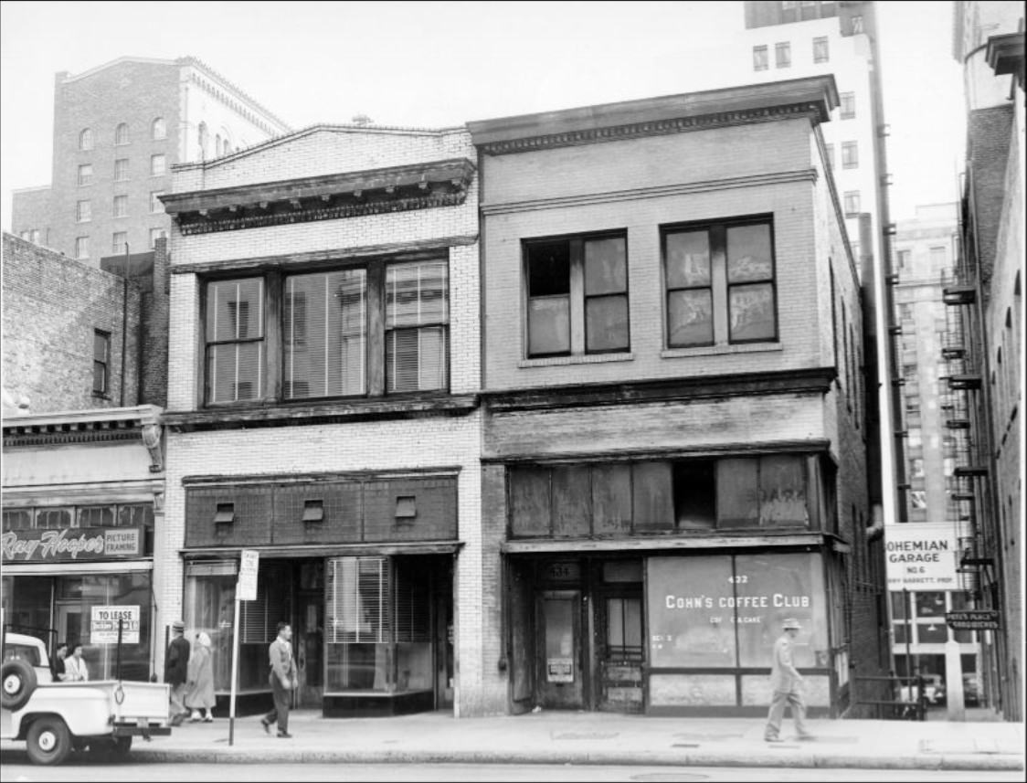
Two buildings on the 400 block of Kearny Street, 1956.
Track construction at California and Hyde streets, 1957.
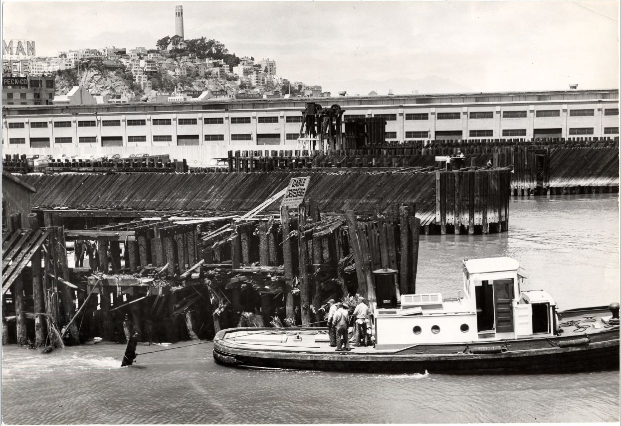
Tugboat Gov. Stephens pulling debris from the channel leading to the Southern Pacific pier, 1954.
View over Mission and Potrero district from upper Market St. with Mt. Diablo in distance, circa 1957.
Ocean Avenue at San Jose facing southeast, 1954.
Post Street, 1959.
Civic Center construction, 1957.
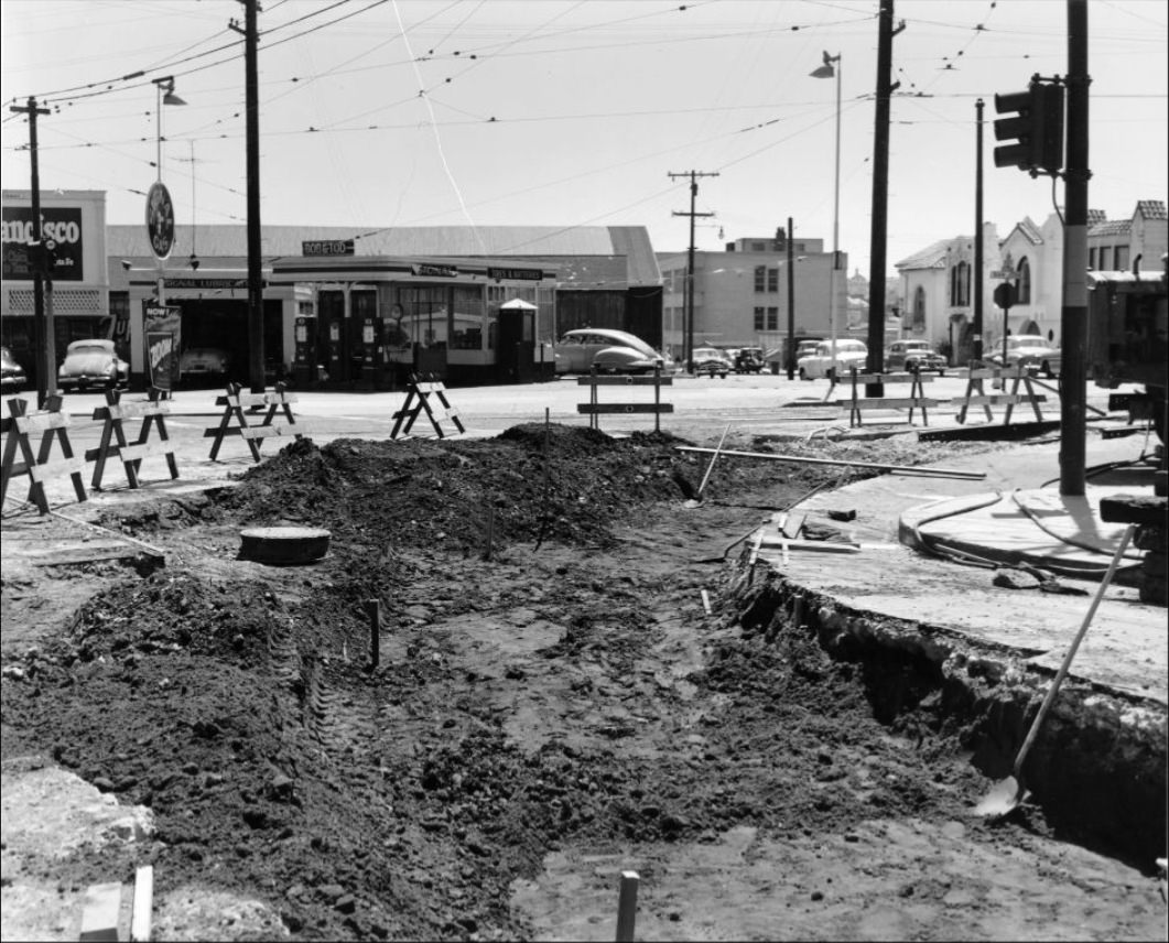
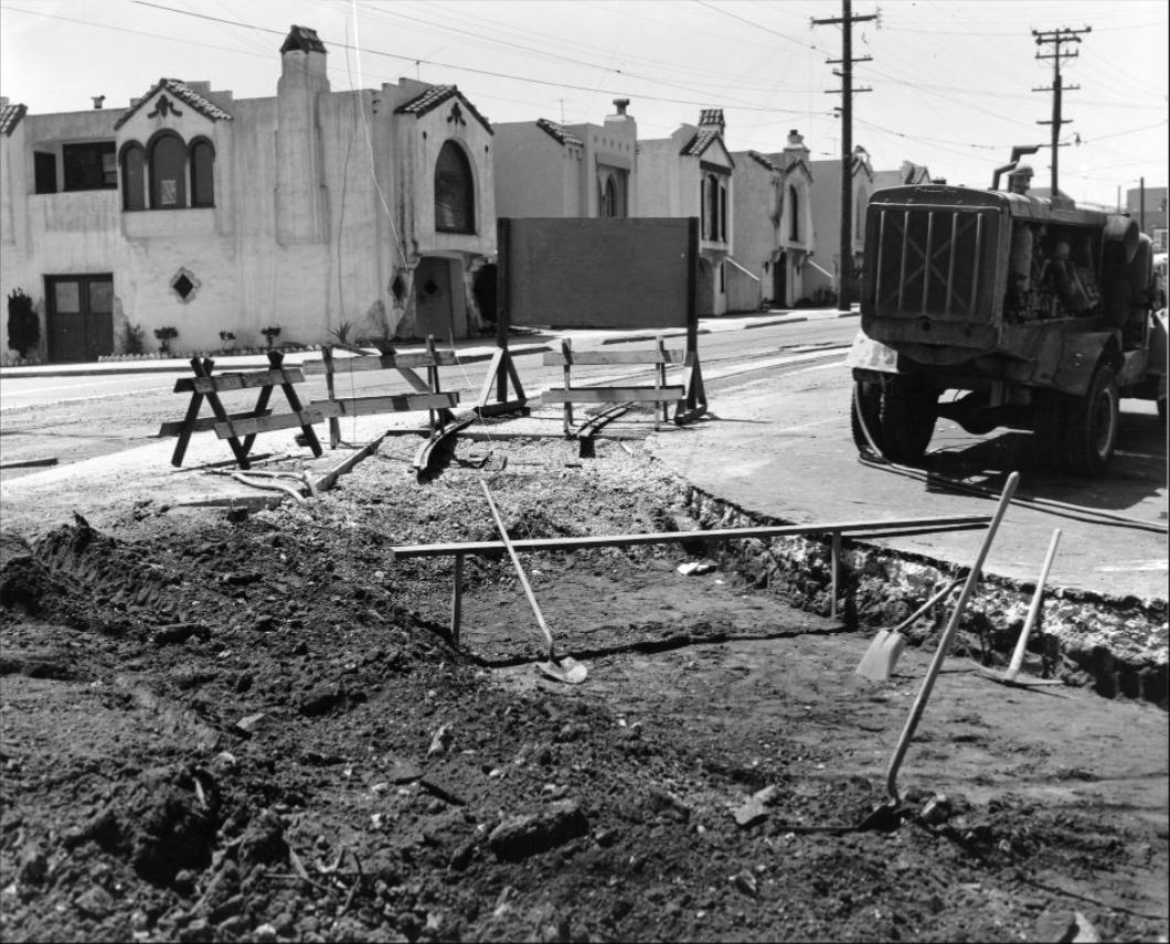
Road construction at Ocean Avenue and San Jose, 1954.
Road construction at Ocean Avenue and San Jose, 1954.
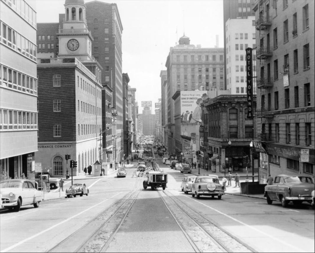
Track reconstruction east on California Street west of Front, 1957.
View west on California Street at Van Ness, 1957.
Fisherman’s Wharf, 1958.
Deliveries to produce markets on Washington Street near Davis, 1957.
Deliveries to produce markets on Washington Street, circa 1950s.
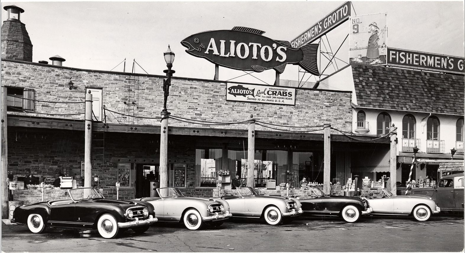
Nash-Healeys parked outside Alioto’s restaurant in Fisherman’s Wharf, 1953.
View east on California at Powell, 1957.
Chestnut Street between Franklin and Gough, 1955.
Post Street, 1959.
Track reconstruction east of California Street at Jones, 1957.
Ocean Avenue at San Jose facing north, 1954.
Howard Street, circa 1953.
View south on Hyde Street at Chestnut, 1955.
Track construction at Hyde and California streets, 1957.
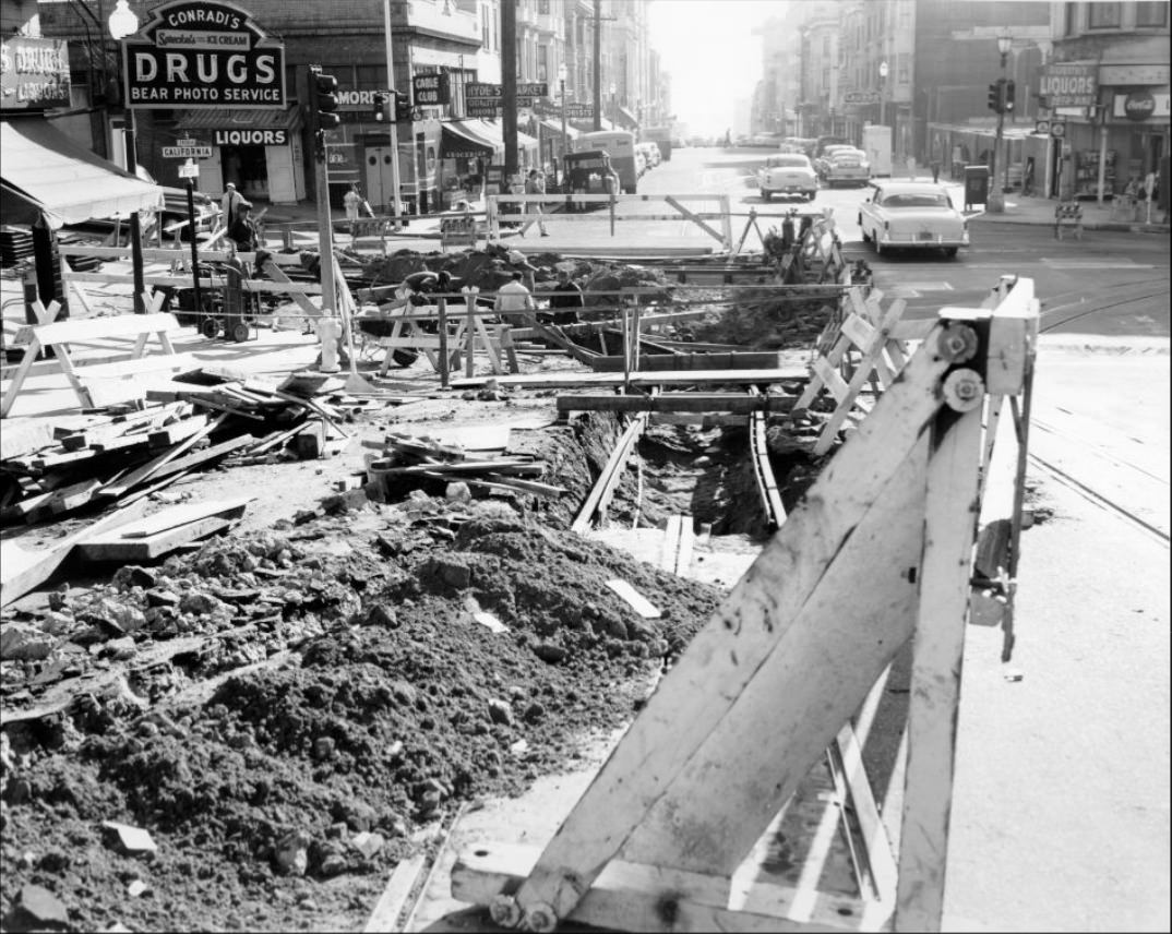
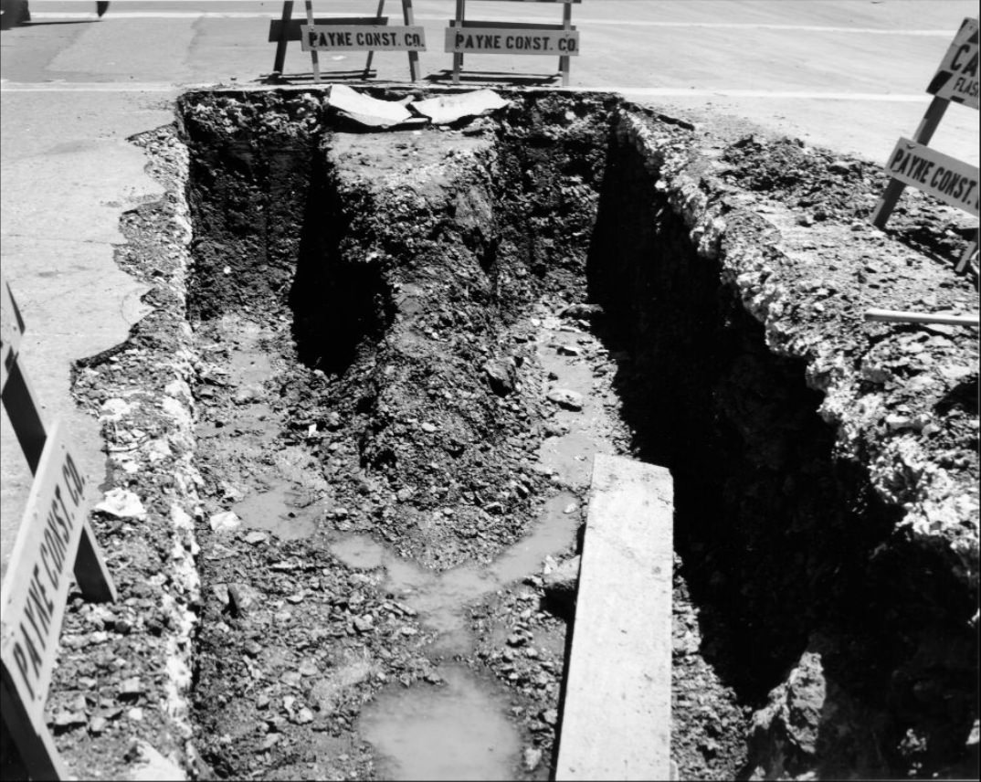
Trench at Mason and California streets, 1957.
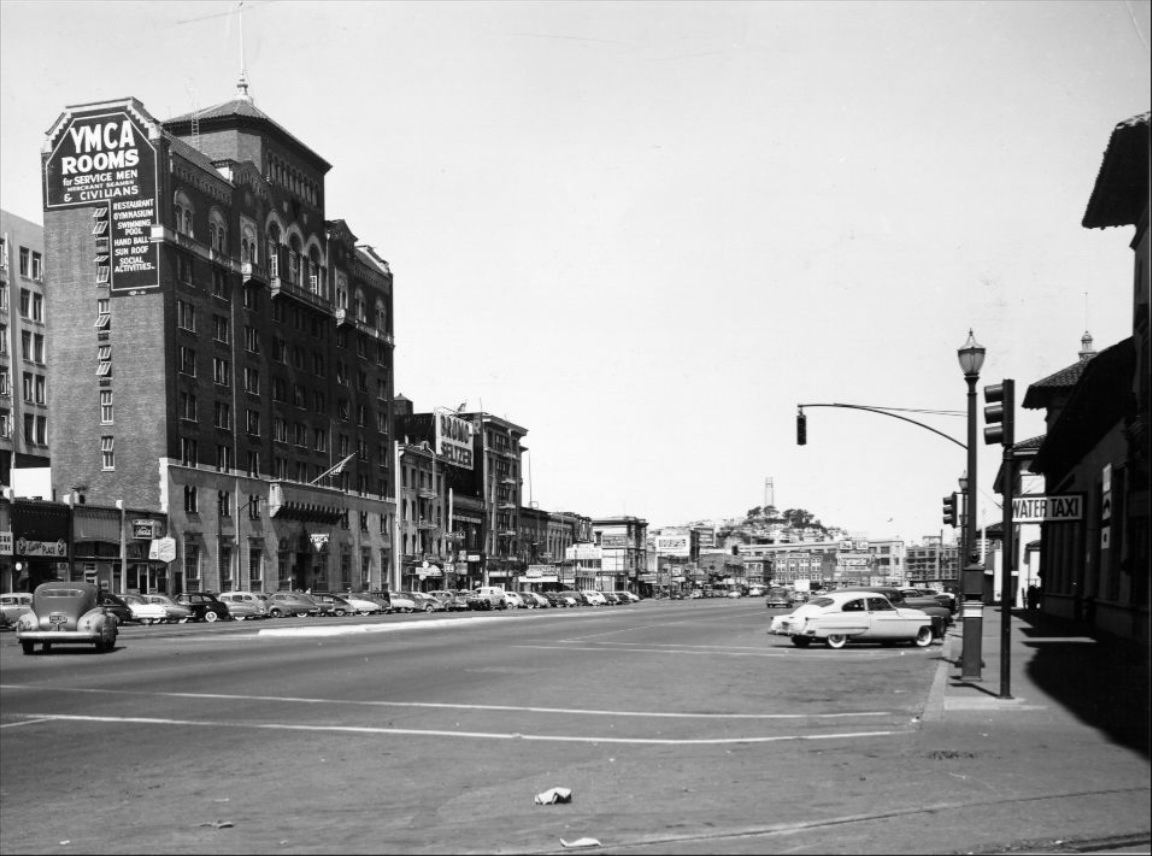
Embarcadero from Howard Street toward Market Street, circa 1950s.
Hyde Street between Jackson and Pacific, northern view, 1957.
“Dollar Day” shoppers on Mission Street, 1959.
Construction on Powell Street between Geary and Post, 1953.
Jackson and Mason Streets, 1952.
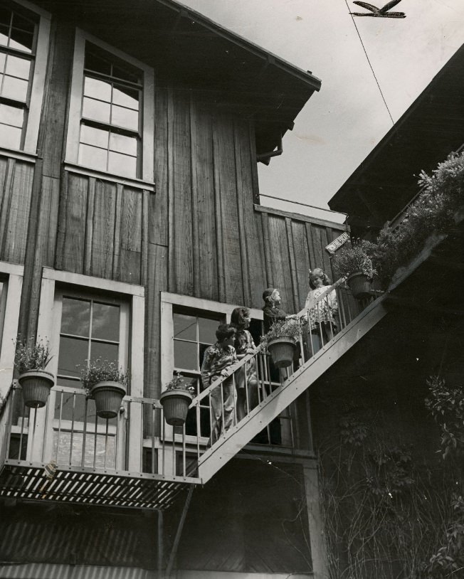
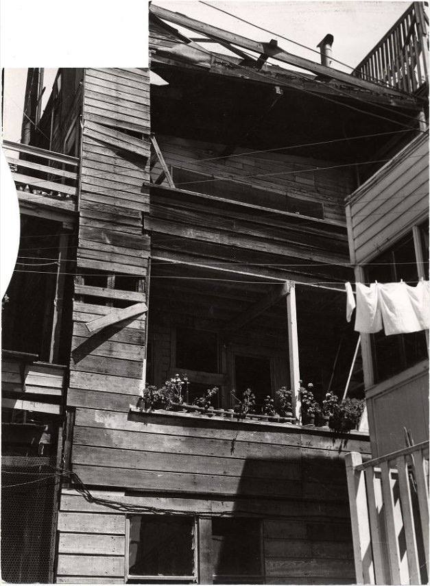
Rear view of an apartment building on Telegraph Hill, 1952.
Car parked illegally on Sutter near Powell Street, 1950.
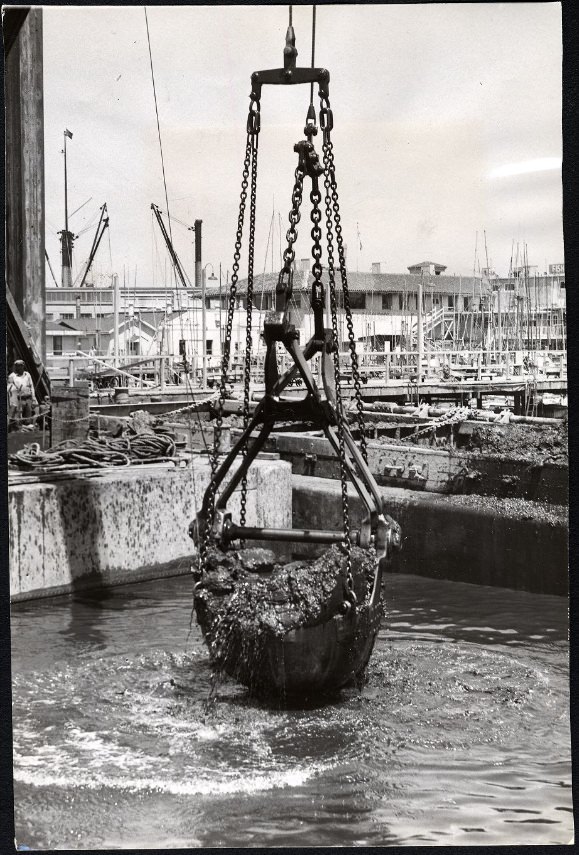
Dredge bucket operation at Fisherman’s Wharf, 1951.
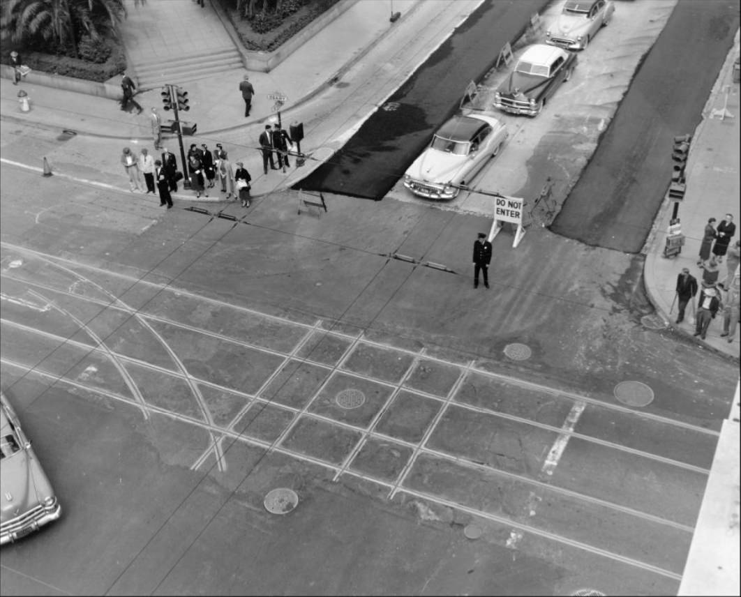
Stockton-Geary crossing from southeast corner, 1955.
400 block of Kearny Street between Pine and California, 1957.
Jackson Street between Powell and Mason, 1953.
Crowd at Maiden Lane for the Spring Festival, 1950.
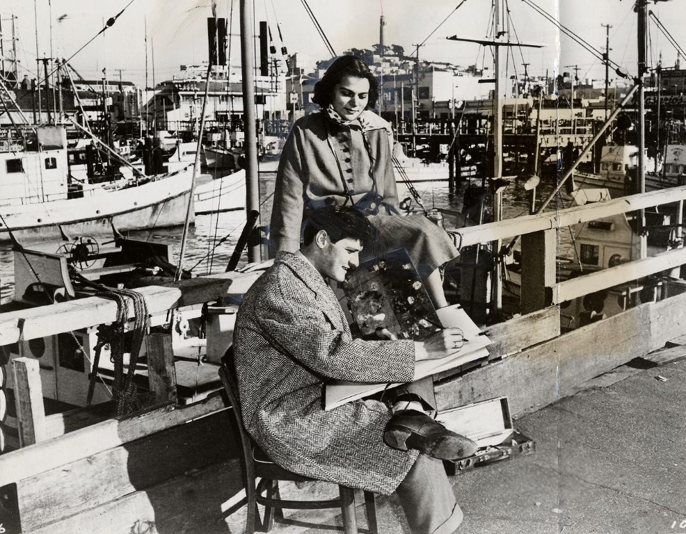
Fred Troller and wife Beatrice at Fisherman’s Wharf, 1955.
Ocean Avenue at San Jose, 1957.
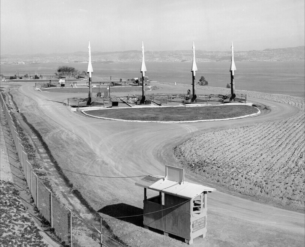
Nike Site, Battery “D”, Angel Island, 1957.
View north on Stockton Street, 1956.
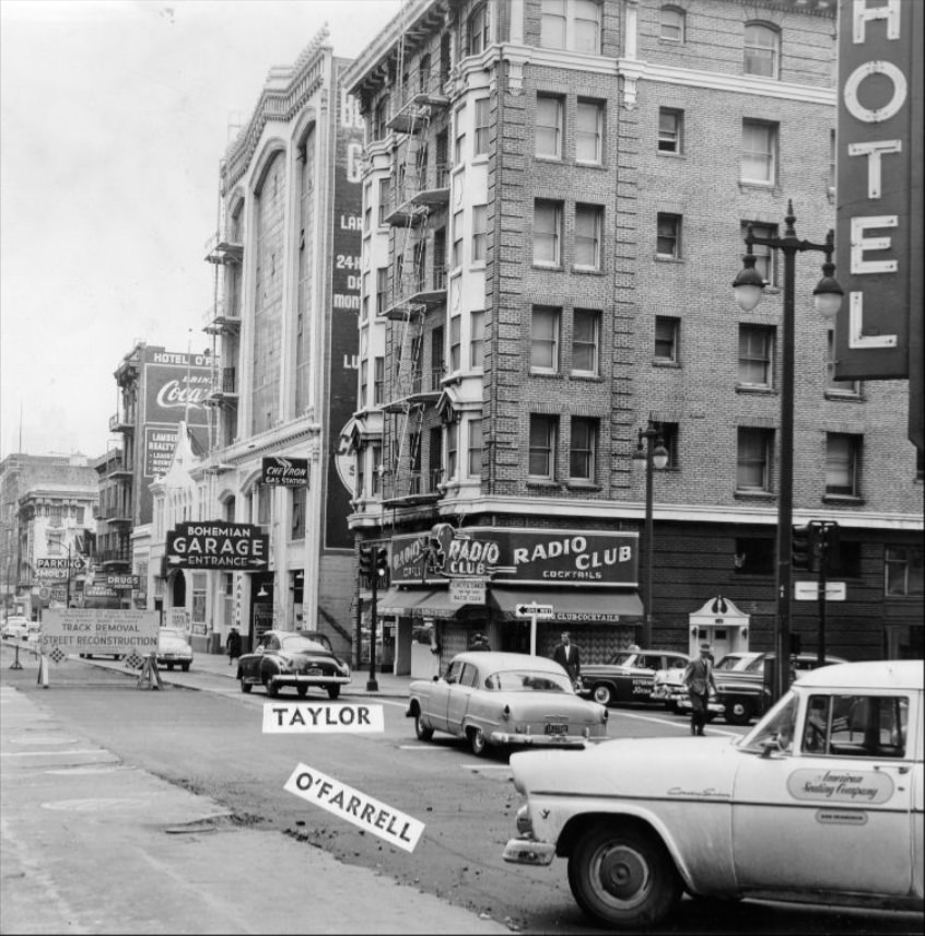
Southeast corner of Taylor and O’Farrell streets, 1955.
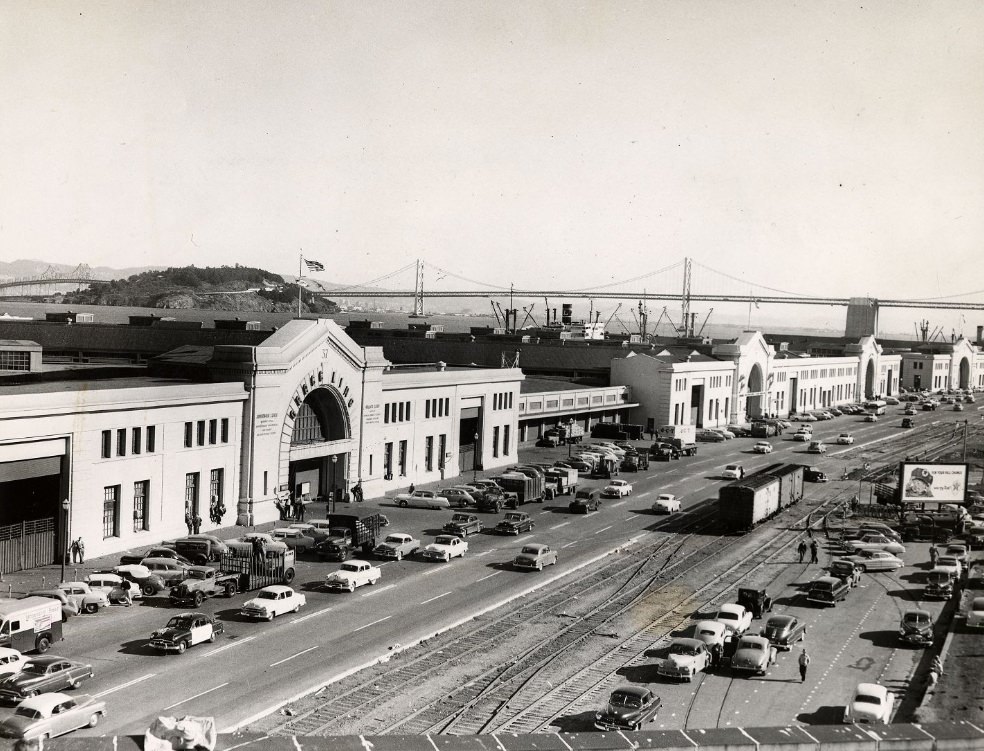
View of the Embarcadero looking south from Pier 37, circa 1953.
Kevin Clark is a historian and writer who is passionate about sharing the stories and significance behind historical photos. He loves to explore hidden histories and cultural contexts behind the images, providing a unique insight into the past.