

Pittsburgh in the 1920s was a city running on steel and ambition. The mills along the rivers never stopped burning, and the smoke that rose from them was as much a part of the skyline as any building. But this was also a decade when Pittsburgh began building something beyond raw industry — a city with landmarks, neighborhoods, culture, and infrastructure that would define it for generations. These photographs capture that transformation street by street, block by block.
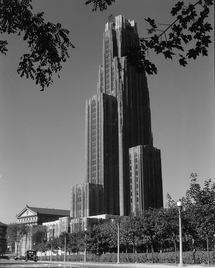
Few projects announced Pittsburgh’s ambitions more clearly than the Cathedral of Learning at the University of Pittsburgh. Construction on the 42-story Gothic tower began in 1926, and its rising frame was visible across much of the city. It was the tallest educational building in the Western Hemisphere and a deliberate statement that Pittsburgh was not only an industrial powerhouse but a center of learning and civic pride.
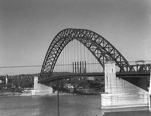
Pittsburgh’s rivers demanded constant bridge-building, and the city’s engineers delivered some of the most striking structures in the country. The three rivers — the Allegheny, the Monongahela, and the Ohio — divided the city into distinct neighborhoods that depended on these crossings for daily life. Steel from local mills went directly into their construction, making the bridges a physical loop of Pittsburgh’s own industrial output.
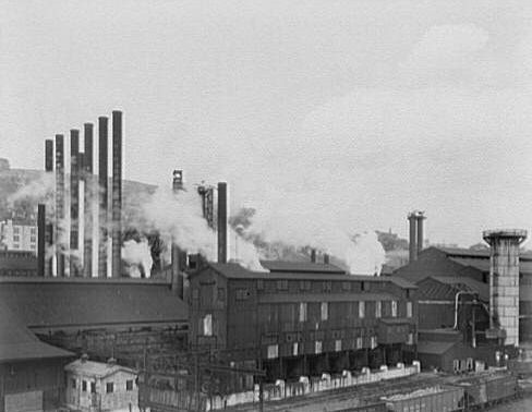
The steel mills were the beating heart of the city’s economy throughout the 1920s. Demand for steel was enormous — fueled by the automobile industry, construction booms, and infrastructure projects across the country. Pittsburgh’s mills ran day and night. Workers put in long hours under dangerous conditions for wages that rarely matched the profits being generated. Labor disputes were common throughout the decade, as workers pushed back against the gap between what they produced and what they were paid.
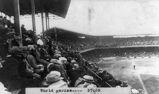
The Pittsburgh Pirates gave the city one of its greatest moments of the decade. In 1925, the Pirates won the World Series, defeating the Washington Senators in seven games. It was a comeback victory — Pittsburgh had fallen behind three games to one before rallying to claim the title. The win triggered celebrations across the city, and for a stretch of autumn days, the mills and the streets felt equally alive with joy.
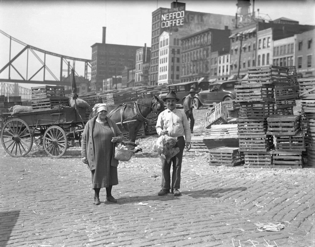
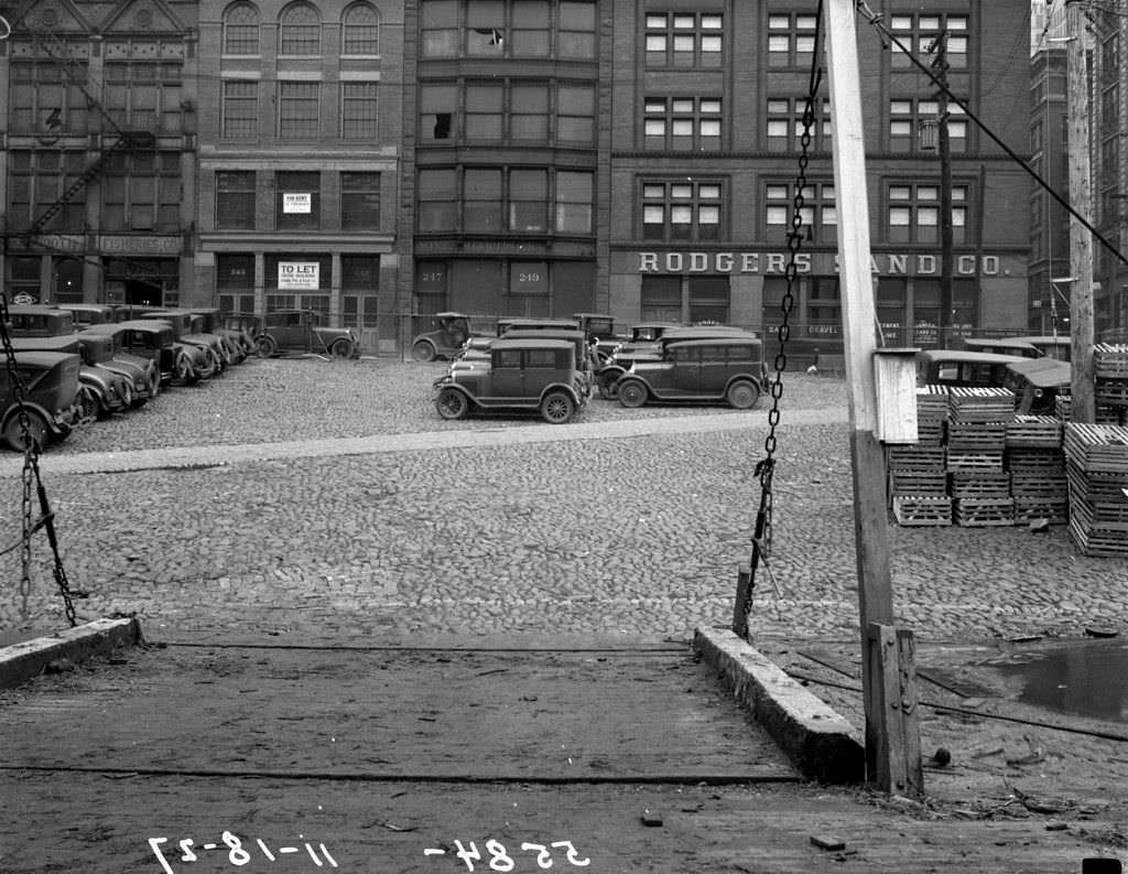
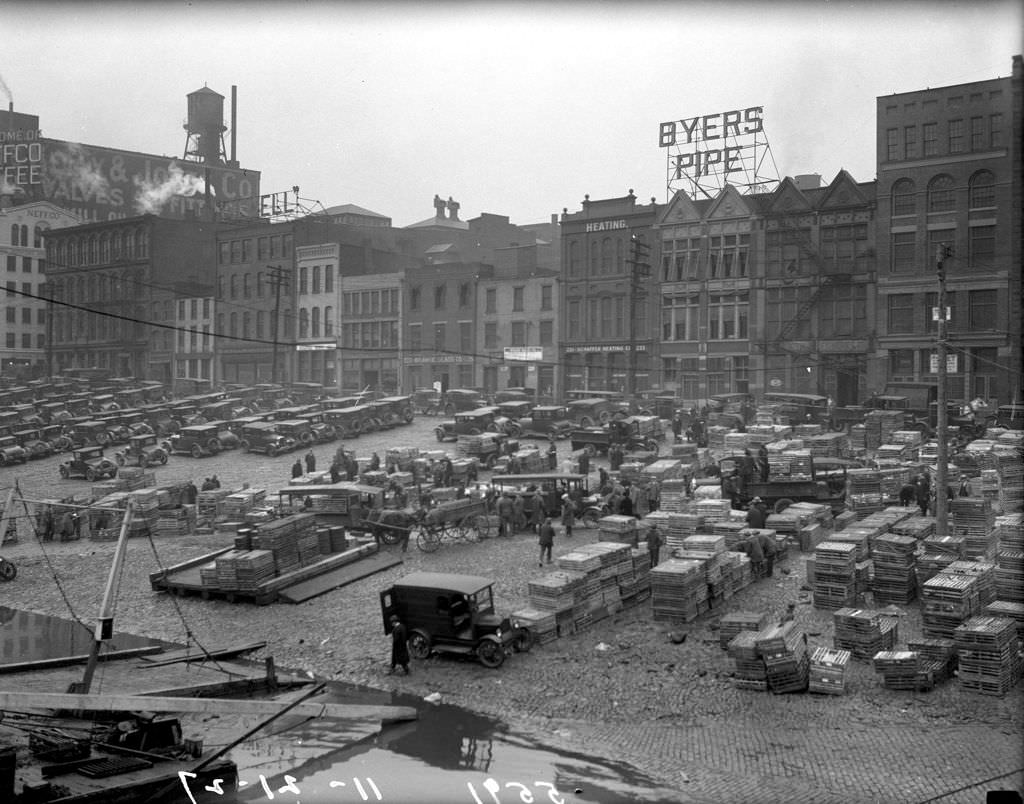
The Monongahela Wharf was one of Pittsburgh’s busiest working waterfronts throughout the decade. Goods of every kind moved through it — coal, produce, livestock, and manufactured goods loaded and unloaded by hand. The wharf connected Pittsburgh to towns up and down the river system, and the cargo boats that docked there kept the region’s commerce flowing.
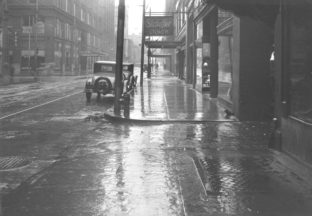
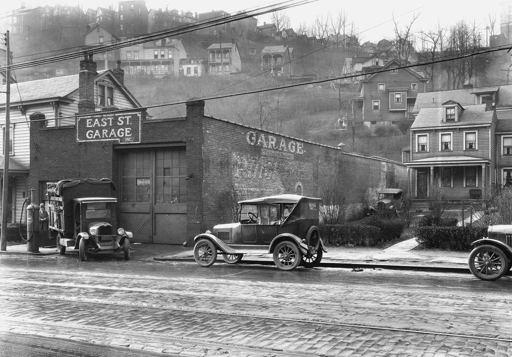
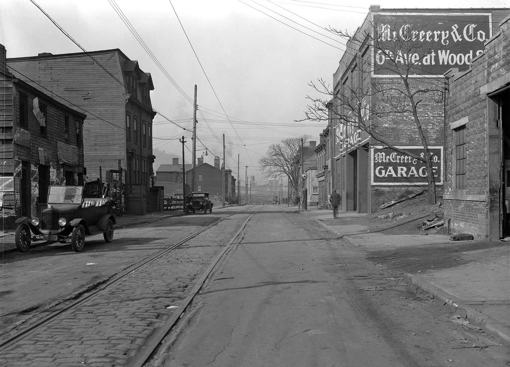
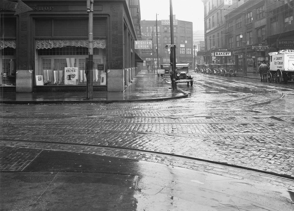
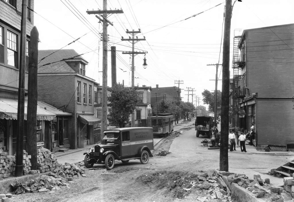
By the late 1920s, the automobile had firmly reshaped Pittsburgh’s streets and neighborhoods. Garages began appearing alongside homes, and repair shops multiplied across the city. Cars meant freedom of movement, but they also meant new demands on roads that had been built for horses and streetcars. The city spent much of the decade digging up old pavement and laying new surfaces to handle the growing traffic.
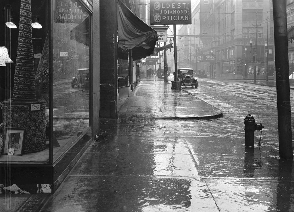
Penn Avenue was one of Pittsburgh’s main commercial corridors, lined with small businesses serving the dense residential neighborhoods around it. Opticians, druggists, tailors, grocers, and lunch counters all competed for space along its sidewalks. The storefronts in these photographs show a retail landscape built for foot traffic — people who walked to do their shopping, relying on their immediate neighborhood for nearly everything.
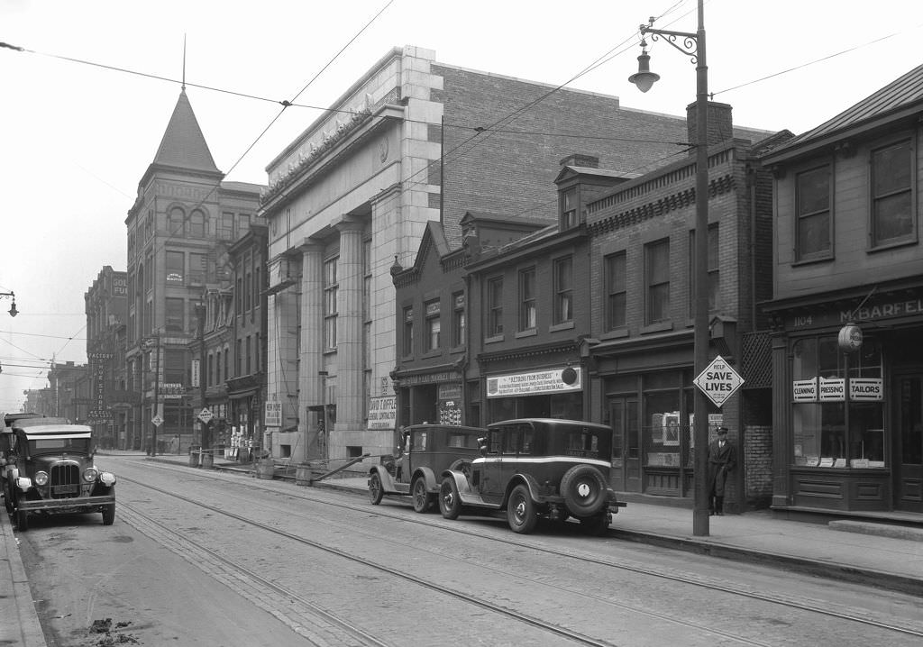
East Carson Street on the South Side was a neighborhood main street in its own right. By 1926, new bank construction was underway there, reflecting the broader wave of commercial investment spreading through Pittsburgh’s neighborhoods. Banks, shops, and small businesses were building more permanent, substantial structures — a sign that even working-class neighborhoods were experiencing the economic confidence of the era.
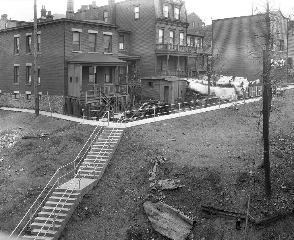
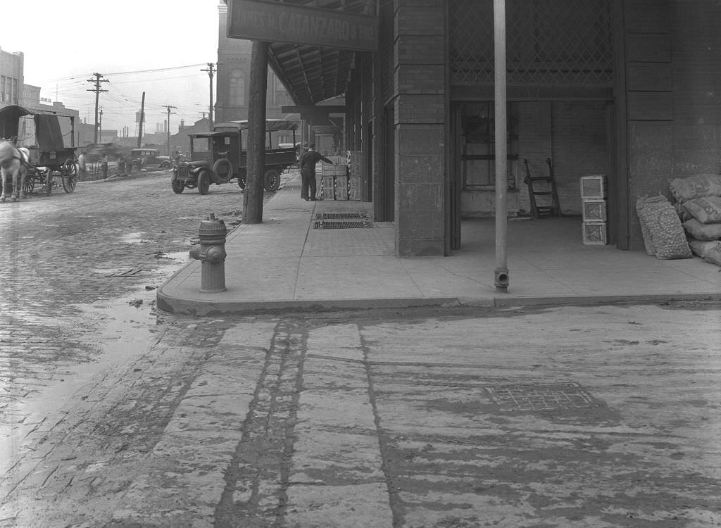
Road work was a constant feature of Pittsburgh’s streets during the 1920s. The city’s Department of Public Works ran ongoing projects to grade, pave, and resurface roads across dozens of neighborhoods. Pike Street, General Robinson Street, Grandview Avenue, and McCandless Avenue all saw crews at work during the decade. The photographs documenting these projects were taken systematically — before, during, and after — as a record of municipal progress.
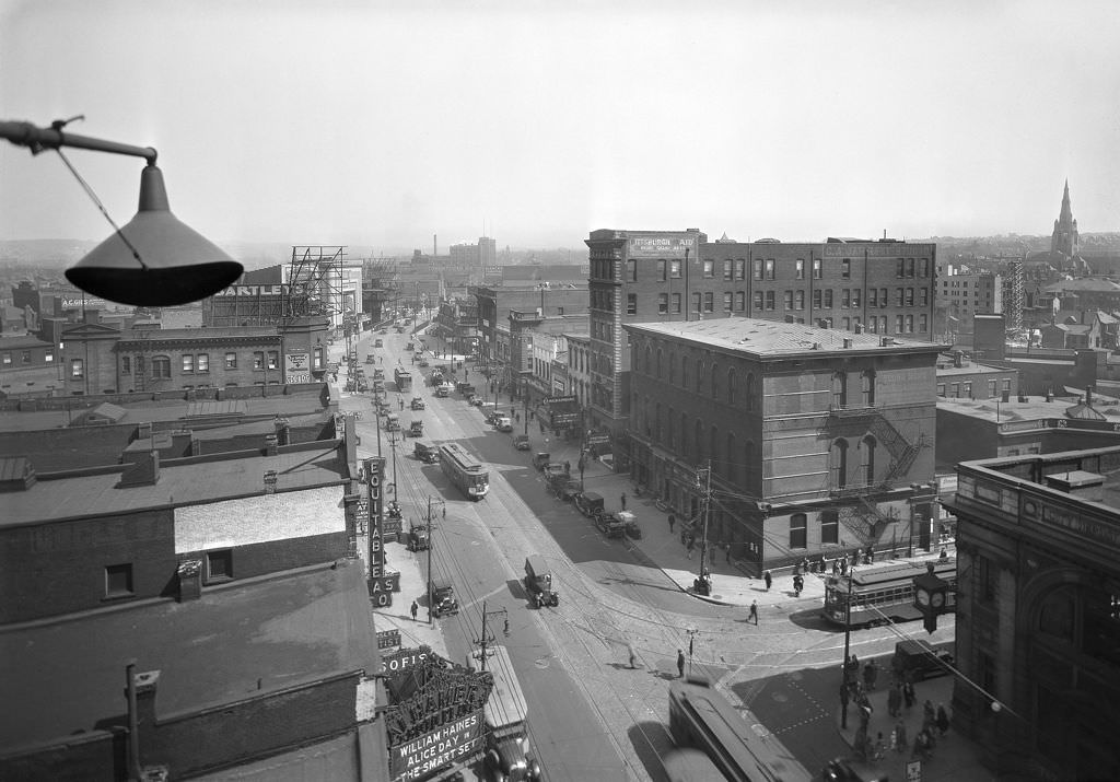
East Liberty was one of Pittsburgh’s most commercially active neighborhoods in the late 1920s. From a rooftop vantage point, the density of the area is clear — department stores, banks, and commercial buildings packed tightly together, with streetcar lines running through the middle of it all. East Liberty functioned almost as a second downtown for the city’s East End residents.
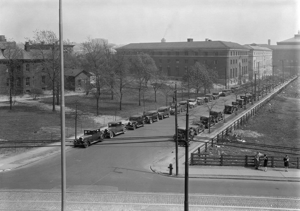
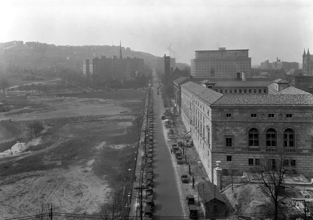
The Oakland neighborhood was Pittsburgh’s civic and academic center. Carnegie Library, the Board of Public Education, and the University of Pittsburgh all anchored a stretch of Fifth Avenue that felt different from the rest of the city — quieter, more deliberate, lined with institutions rather than shops. Andrew Carnegie’s philanthropic investments in the city had left behind a permanent architectural presence that defined the area.
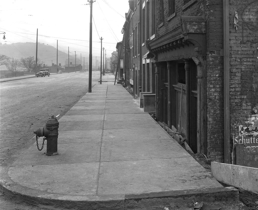
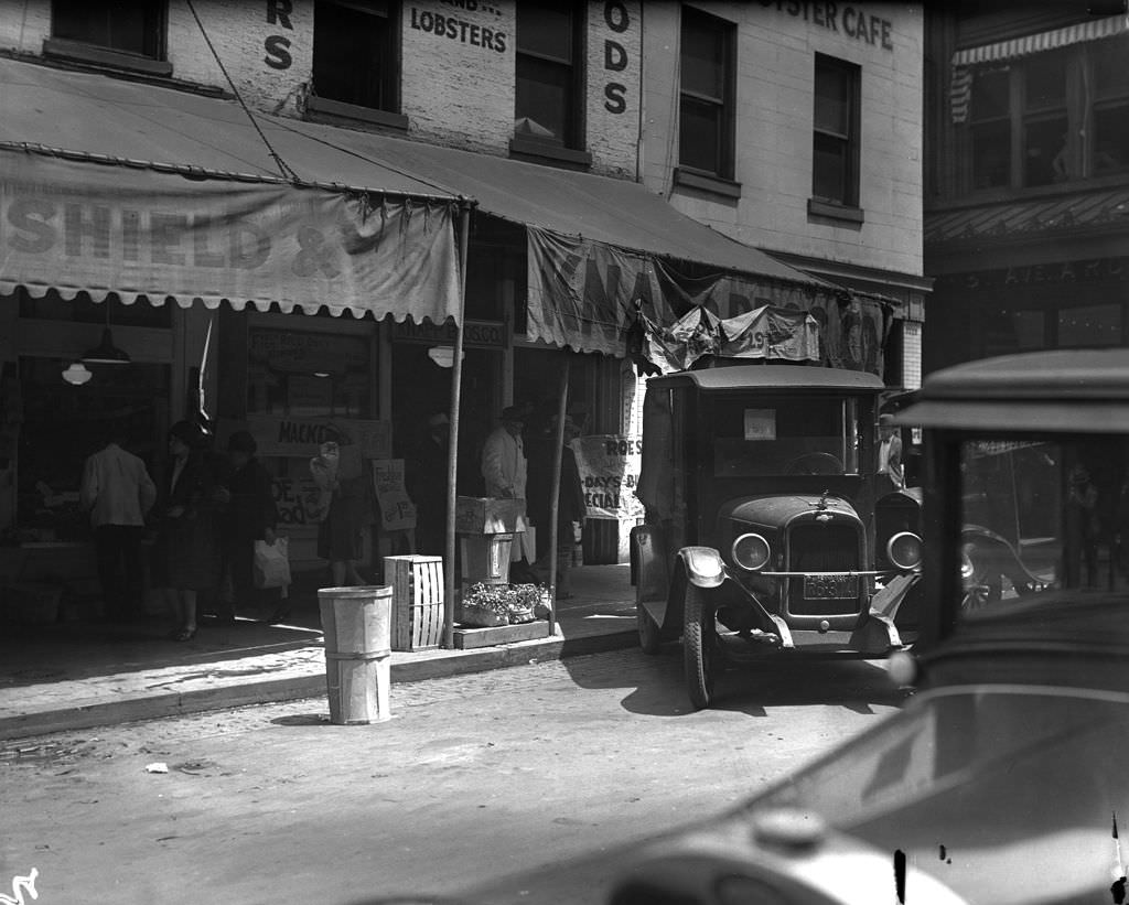
Diamond Square — later renamed Market Square — was a central gathering point in downtown Pittsburgh. Businesses like Knapp Bros. Co. occupied prime corner locations there, serving both the workers who flooded downtown during the week and the shoppers who came from across the city on weekends. The square was surrounded by a mix of produce stands, restaurants, and retail shops that made it one of the busiest patches of pavement in the city.
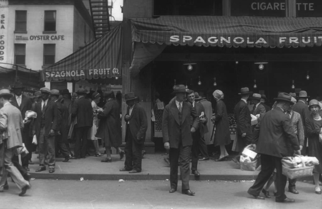
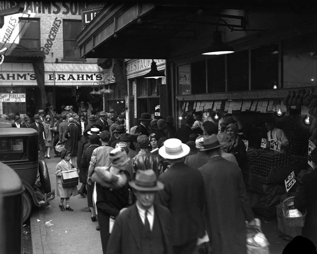
The streets around Diamond Square were alive with commerce at street level. Fruit vendors, sandwich shops, and lunch counters served the working population that moved through downtown Pittsburgh every day. The Spagnola Fruit Company was one of several Italian-owned businesses that reflected the city’s large immigrant community, which had come to Pittsburgh largely to work in the steel and manufacturing industries.
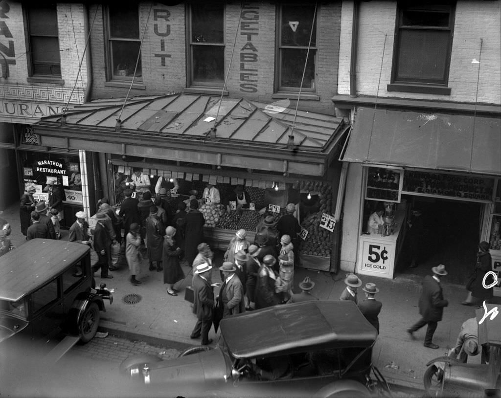
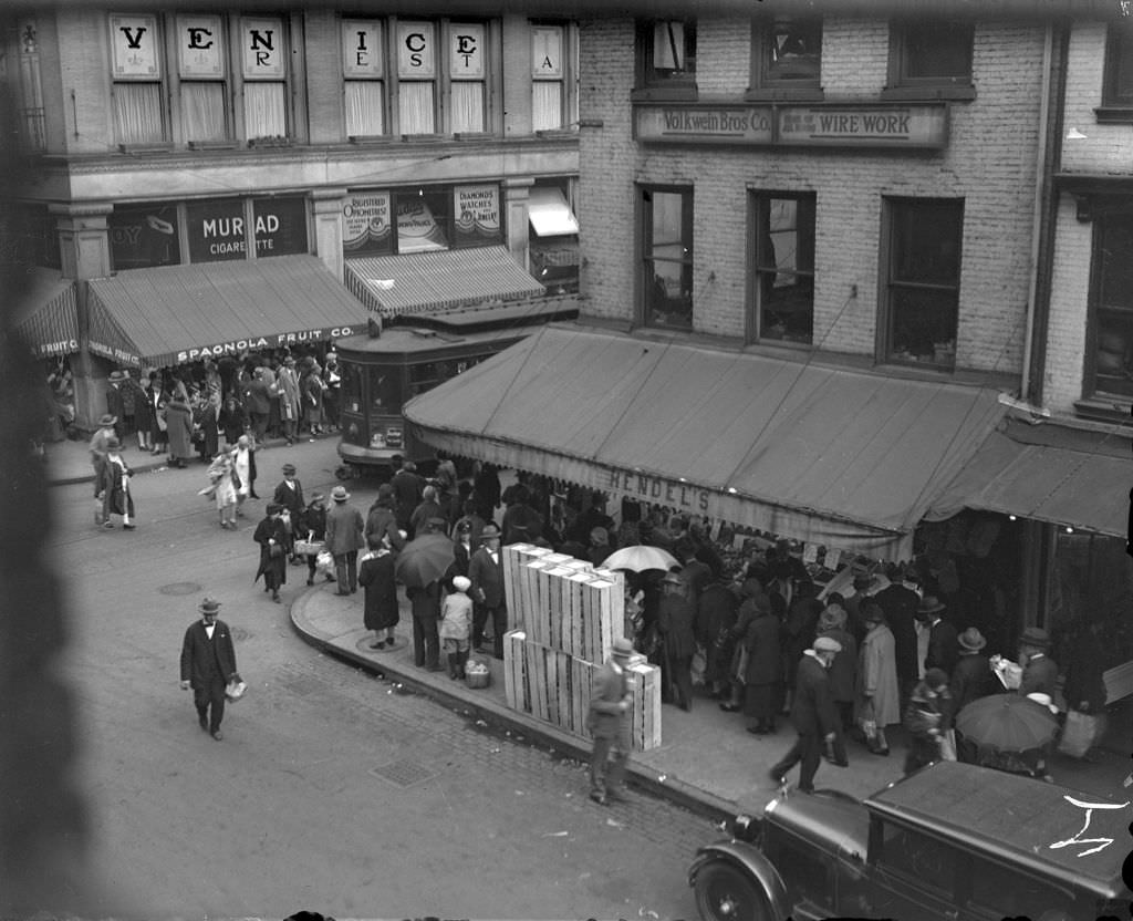
The Diamond Market itself was a covered market house where vendors sold fresh produce, meat, and dry goods. Views from its second floor looked out over a scene of constant commercial activity — street vendors, pedestrians, delivery wagons, and early automobiles all sharing the same narrow space. The market was a daily anchor for downtown shoppers who came looking for fresh goods at competitive prices.
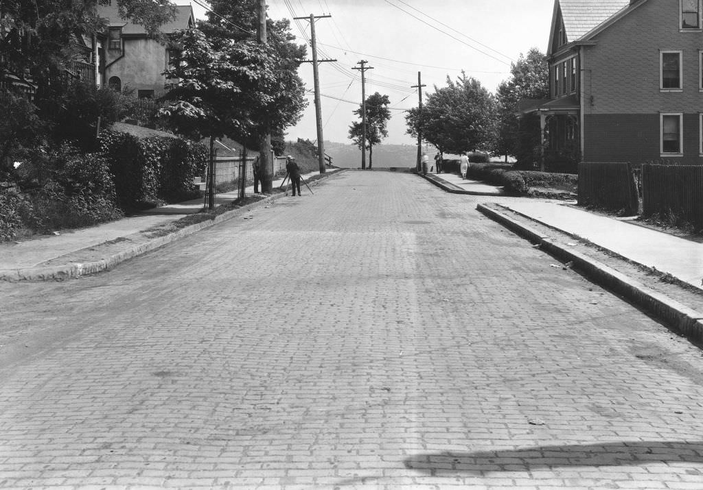
Surveying crews worked ahead of road and infrastructure projects throughout the city. Grandview Avenue on Mount Washington, with its commanding view of the downtown skyline, was among the streets receiving attention in 1928. Repaving projects like the one at Grandview Avenue were photographed in detail — the city kept careful visual records of public works improvements as part of its administrative documentation.
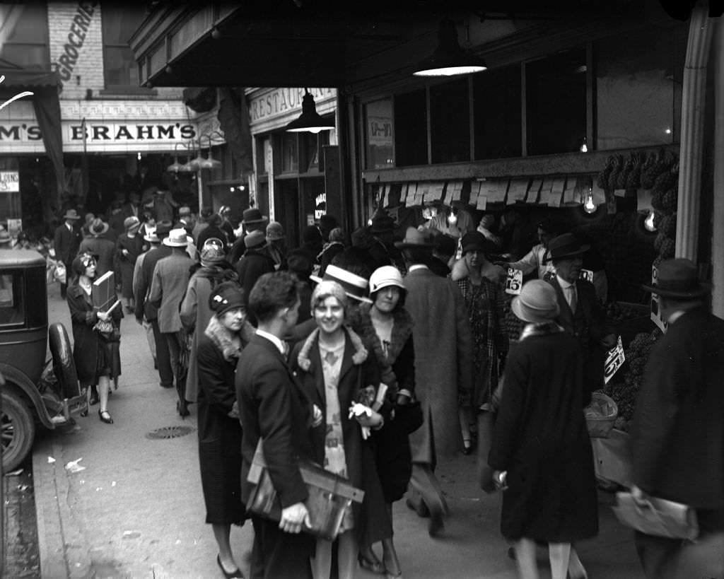
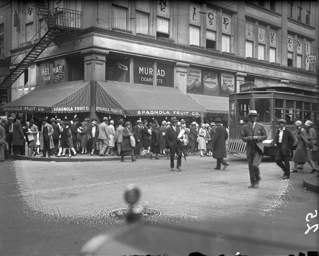
On a busy day, the sidewalks near Diamond and Market Streets were packed. Workers on lunch breaks, housewives shopping for dinner, and vendors calling out prices competed for space on narrow sidewalks. These photographs capture downtown Pittsburgh at its most alive — not the civic buildings or the industrial skyline, but the everyday human density of a working city.
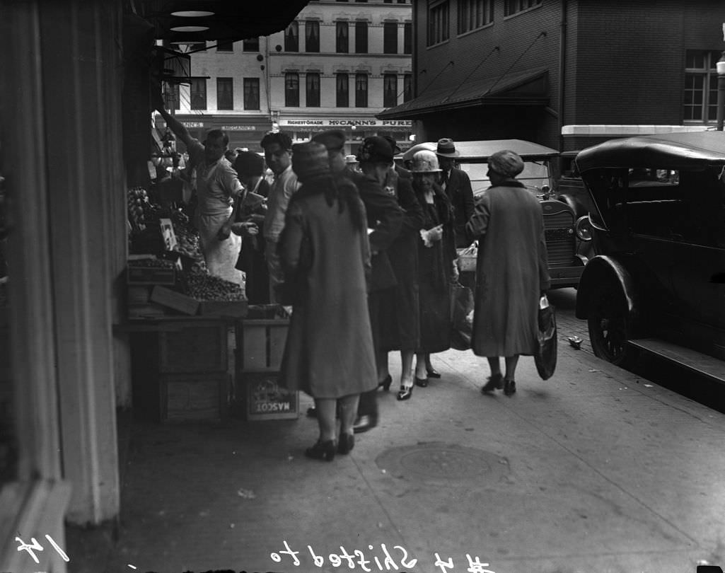
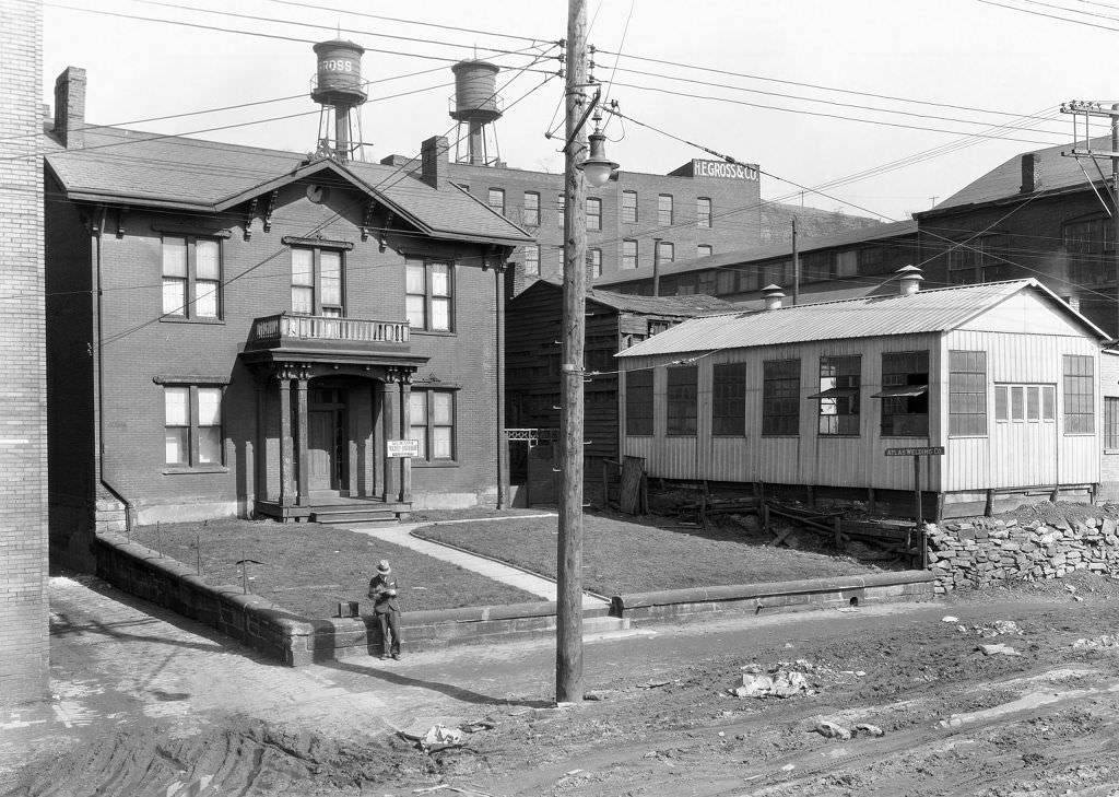
Industrial service businesses lined South Avenue and similar corridors near Pittsburgh’s manufacturing districts. Welding companies, machine shops, and supply houses served the mills and factories that dominated the city’s economy. These were not glamorous businesses, but they were essential — the support network that kept Pittsburgh’s heavy industry running shift after shift.
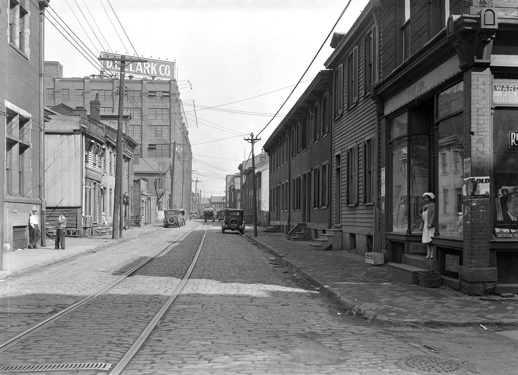
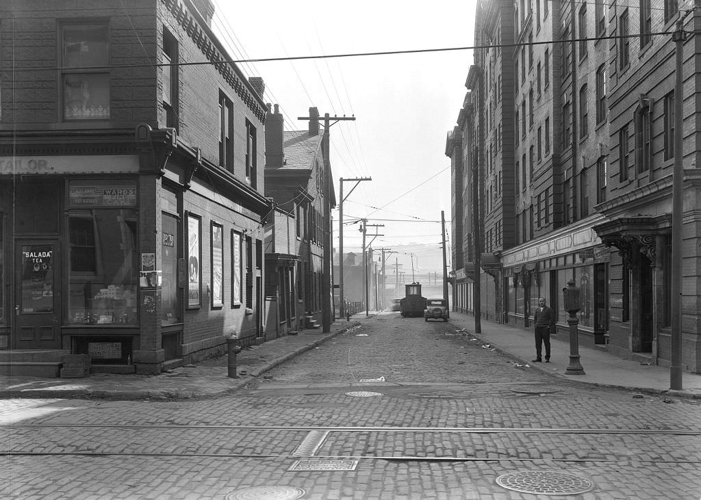
Reedsdale Street in the North Side was a typical working-class residential and commercial block. Grocery stores and tailor shops served the families who lived in the surrounding rowhouses. The street had also been the site of a serious gas explosion in 1927, which caused significant damage to properties between house numbers 1212 and 1272. The photographs from 1929 show the street rebuilt and functioning again.
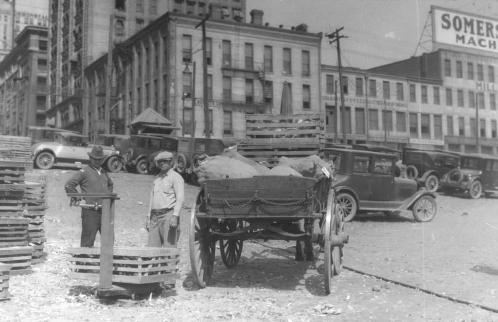
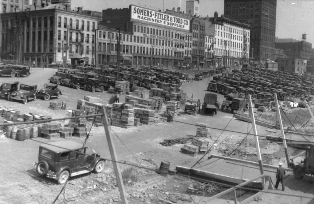
At the Monongahela Wharf, river commerce was still operating at full scale in 1929. Packet boats from the Shippers Packet Company pulled in regularly to offload freight, and dock workers weighed and logged every crate and barrel. The river system was Pittsburgh’s oldest trade artery, and even as railroads and highways expanded, it remained a vital channel for bulk cargo moving in and out of the region.
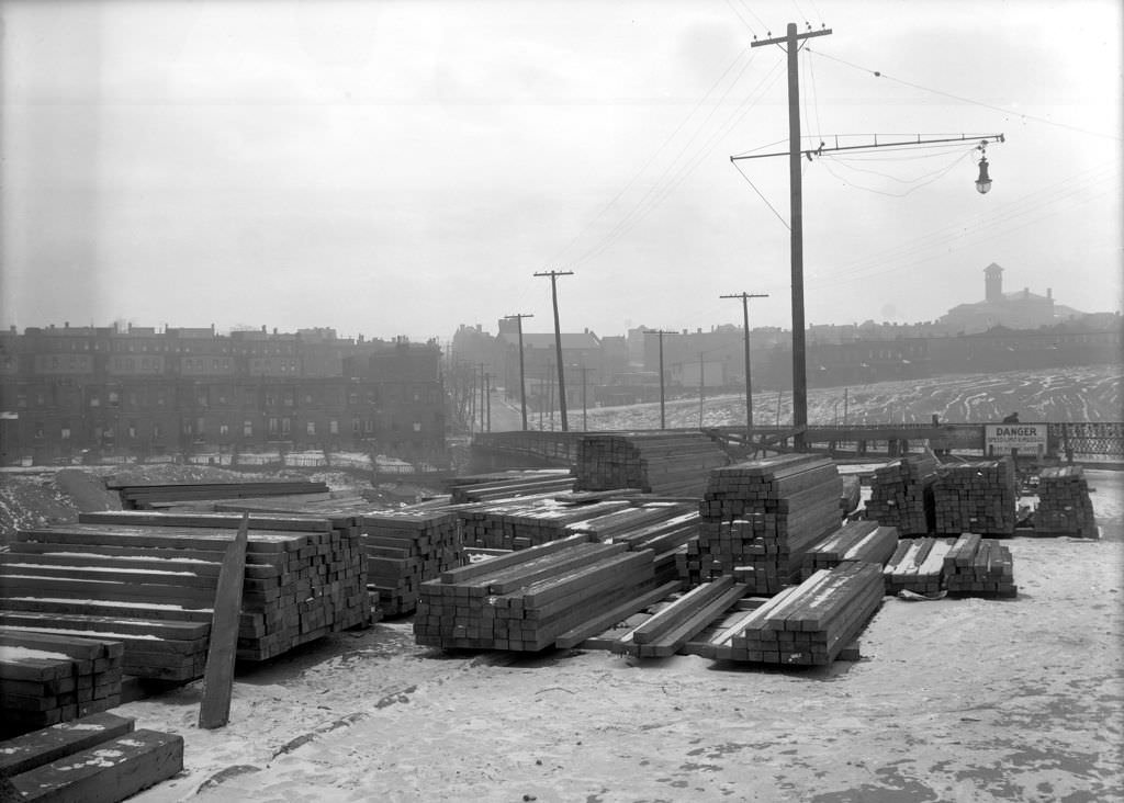
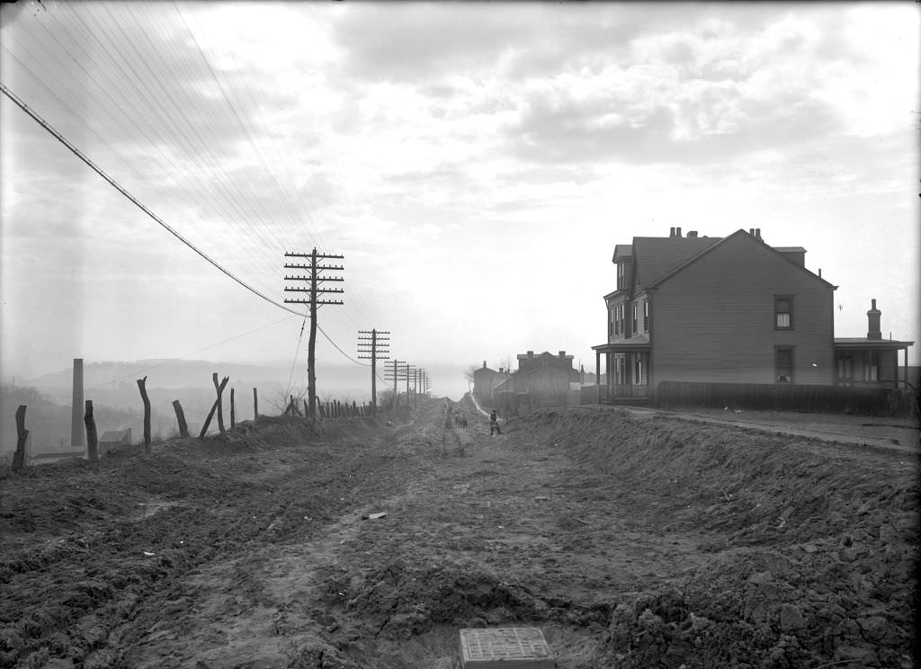
At the very start of the decade, in 1920, Pittsburgh’s public works departments were already deep into infrastructure projects. McCandless Avenue was being graded, Wilmot Street Bridge was being documented, and crews were at work on water mains, sewers, and road surfaces across the city. These early-decade photographs show a city actively building the physical foundation for the growth that would follow.
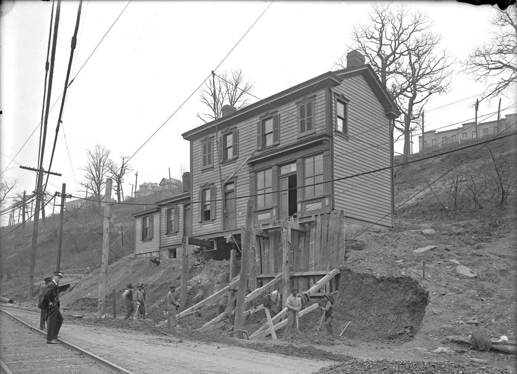
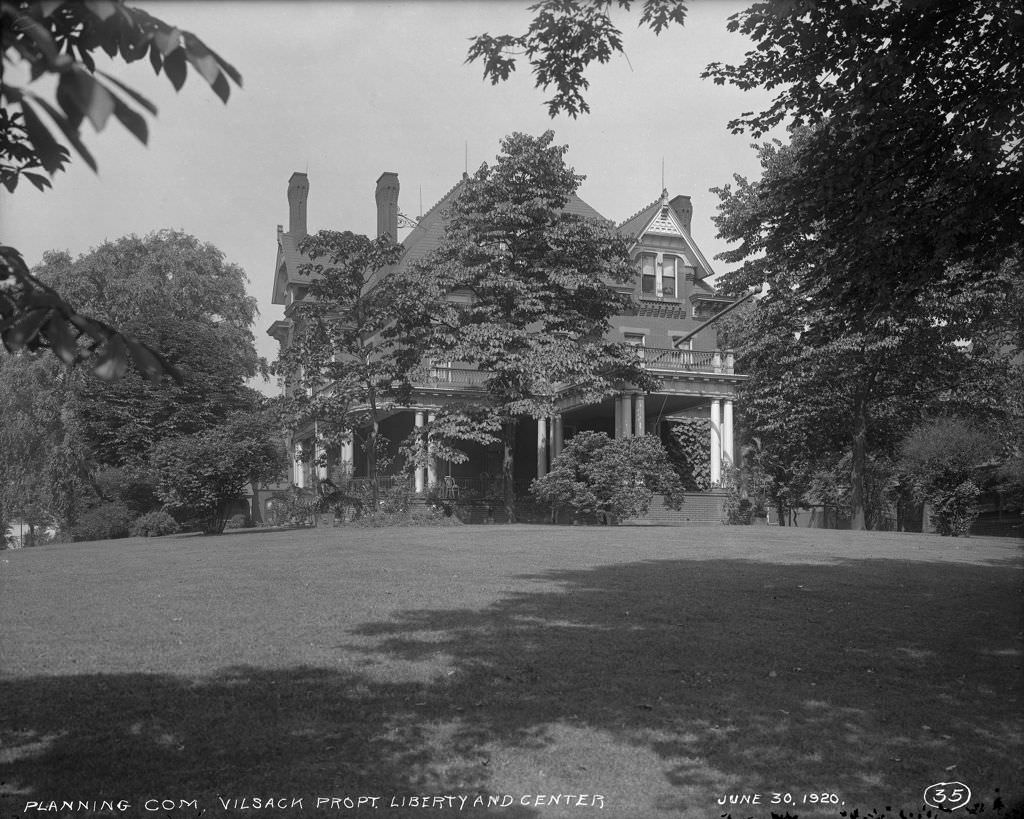
Pittsburgh’s residential neighborhoods spread across hills and valleys in patterns shaped entirely by terrain. Warrington Avenue in Allentown sat on the South Side slopes, while Liberty and Centre Avenues cut through the flatter strips of Bloomfield and the Hill District. In 1920, these were established neighborhoods of rowhouses, modest single-family homes, and corner stores — densely settled and fully woven into the city’s daily life.
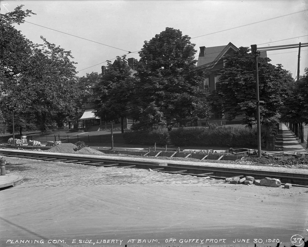
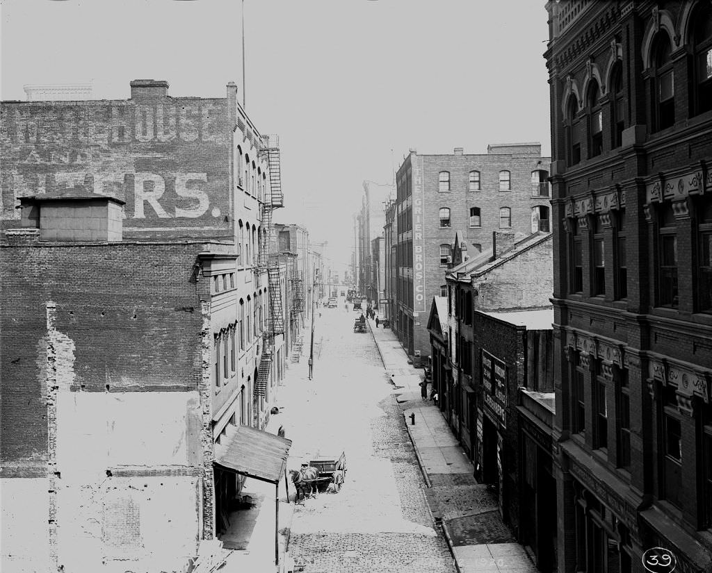
Streetcar track construction on Liberty Avenue in 1920 reflects how central the transit system was to Pittsburgh’s daily movement. The city’s streetcar network connected its scattered hillside neighborhoods to downtown and to the industrial zones along the rivers. The Wabash Railroad, visible from Second Avenue, represented Pittsburgh’s other major transit artery — the rail lines that linked it to the national freight and passenger network.
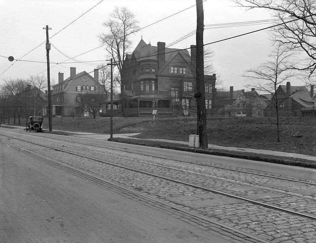
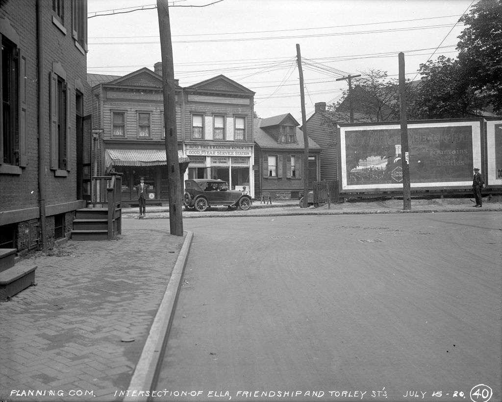
Shadyside, one of Pittsburgh’s more affluent East End neighborhoods, looked noticeably different from the mill districts. Ellsworth Avenue was lined with solid residential buildings, and commercial activity there catered to a different clientele. Just nearby, at the intersection of Ella, Friendship, and Torley Streets, an auto tire and radiator repair shop had already set up business in 1920 — a sign of how quickly car ownership was spreading even at the start of the decade.
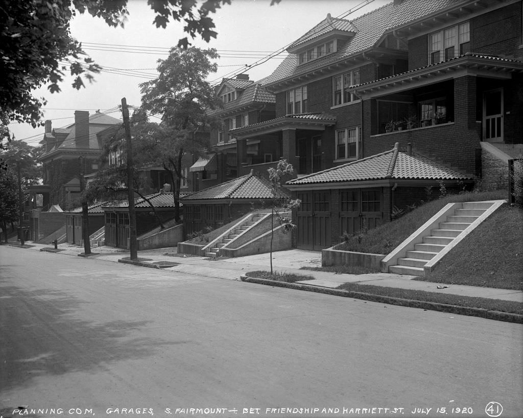
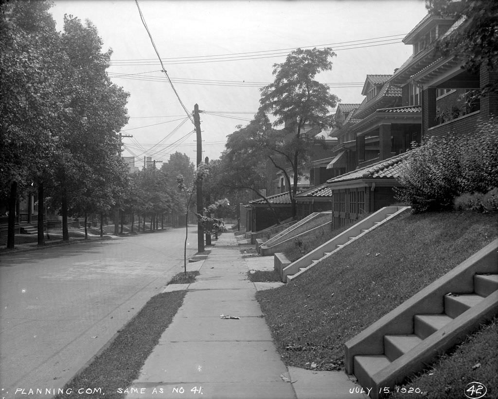
South Fairmount Street, sitting between Friendship and Harriett Streets, shows the typical residential character of Pittsburgh’s middle neighborhoods in 1920. Homes sat close together on narrow lots, with small garages already being added to properties to accommodate cars. The block photographs were taken as part of the city’s systematic documentation of property conditions, used for planning and taxation purposes.
The city’s engineers photographed not just streets and storefronts but also the structural work happening beneath and behind them. Embankment supports, retaining walls, and foundation work were documented in detail. Pittsburgh’s topography — its hills and river bluffs — required constant engineering attention. Slopes had to be stabilized, and the soil that had been cut away for roads and development needed to be held in place by constructed supports.
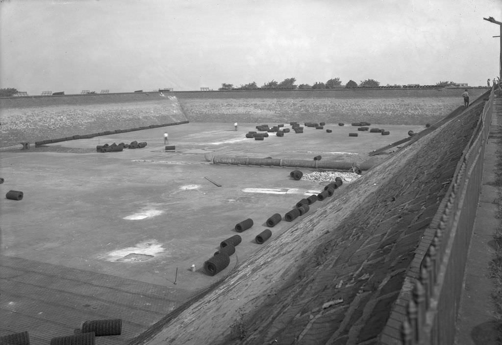
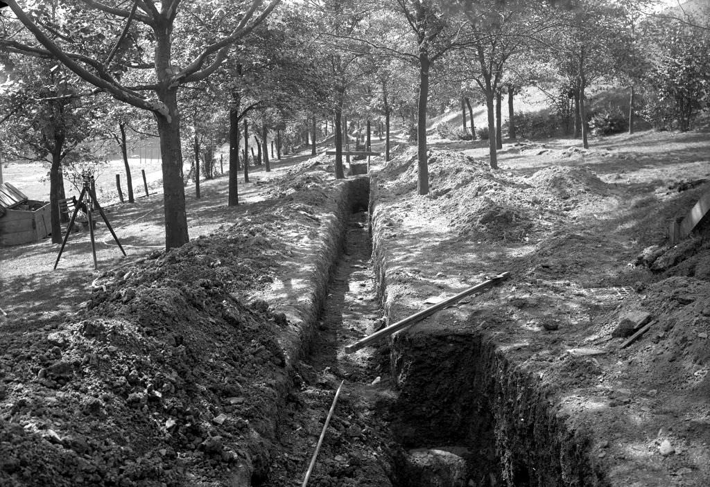
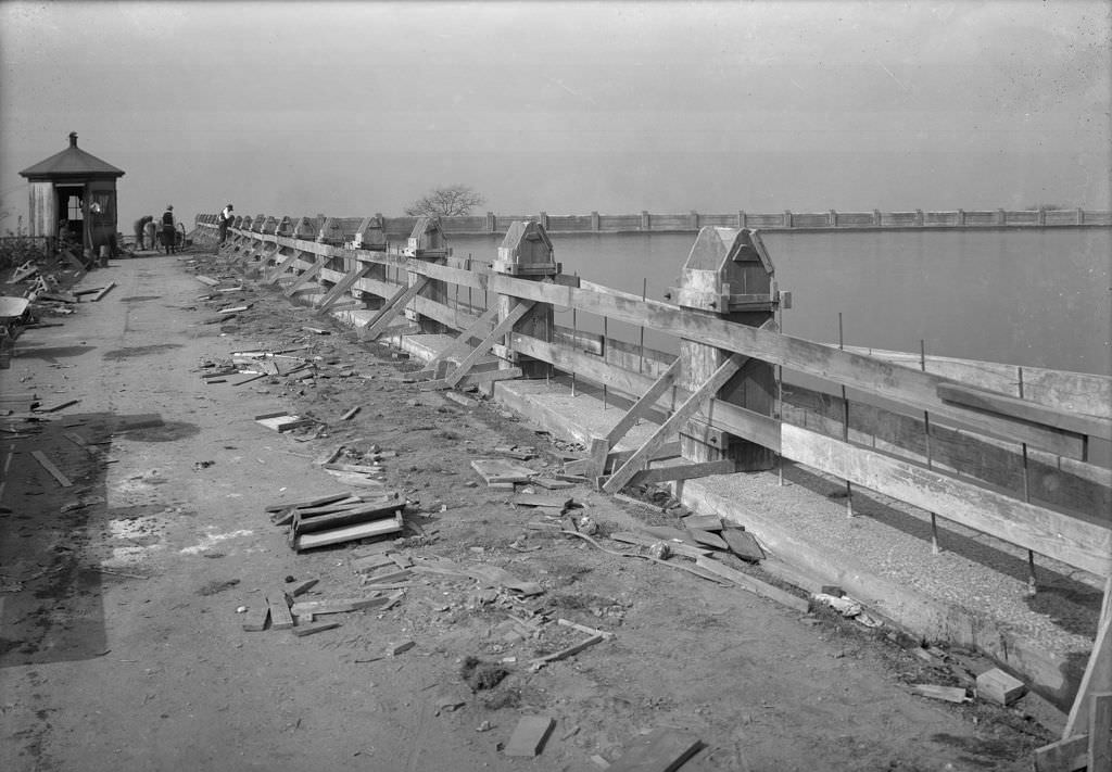
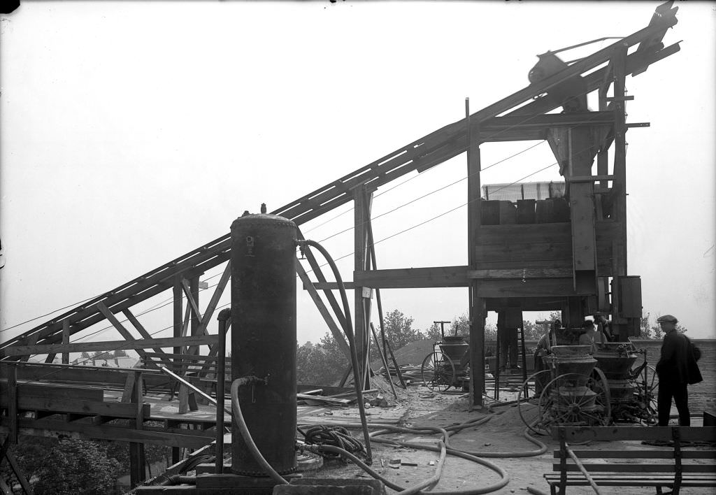
Herron Hill Reservoir was a critical piece of Pittsburgh’s water supply infrastructure. In 1920, the city was actively working to upgrade the facility — cleaning basins, installing new sewer lines, adding concrete mixers, and building out the gunite plant used to coat reservoir walls. These were not glamorous projects, but clean water supply was a public health priority in a city as dense and industrial as Pittsburgh.
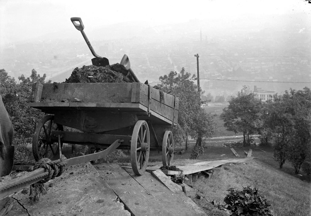
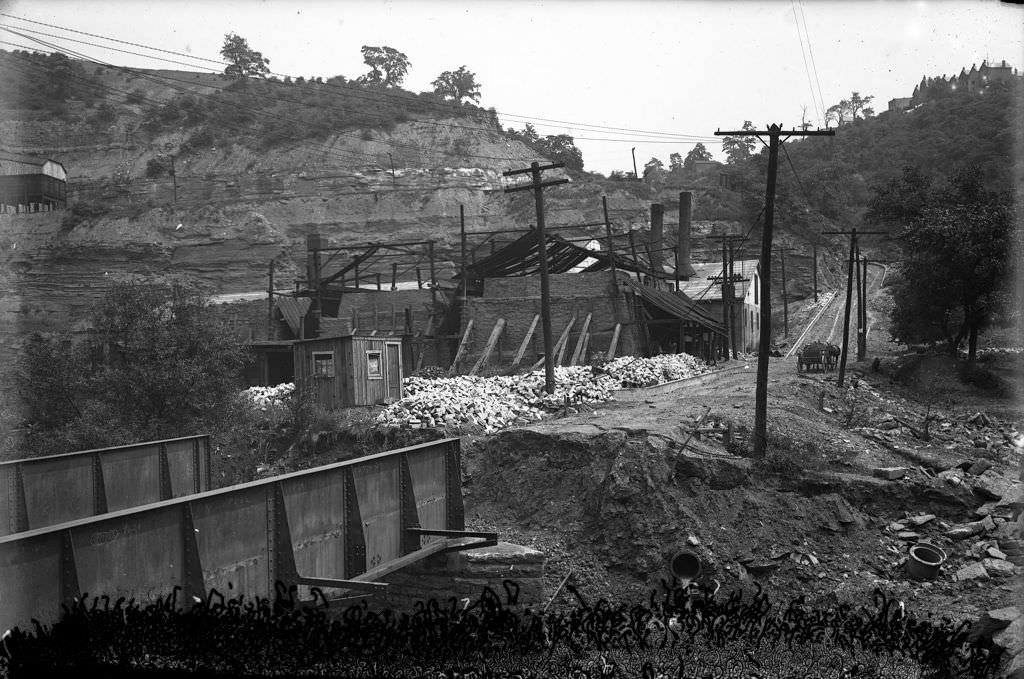
Woodville Avenue and the surrounding streets in the city’s northern neighborhoods were being documented and improved at the start of the decade. Shaler Street, which appeared in multiple photographs from 1920, showed road conditions that were still largely unpaved or in poor repair. The gap between Pittsburgh’s prosperous downtown and commercial corridors and the condition of its outlying residential streets was visible in these photographs.
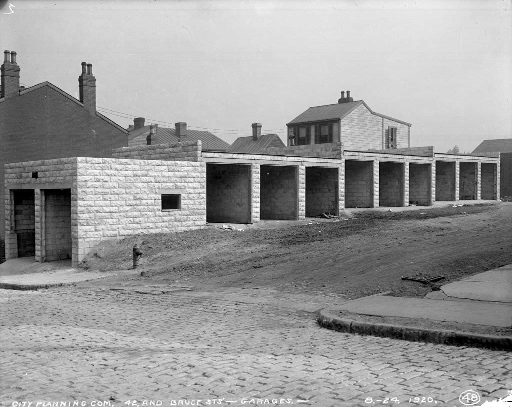
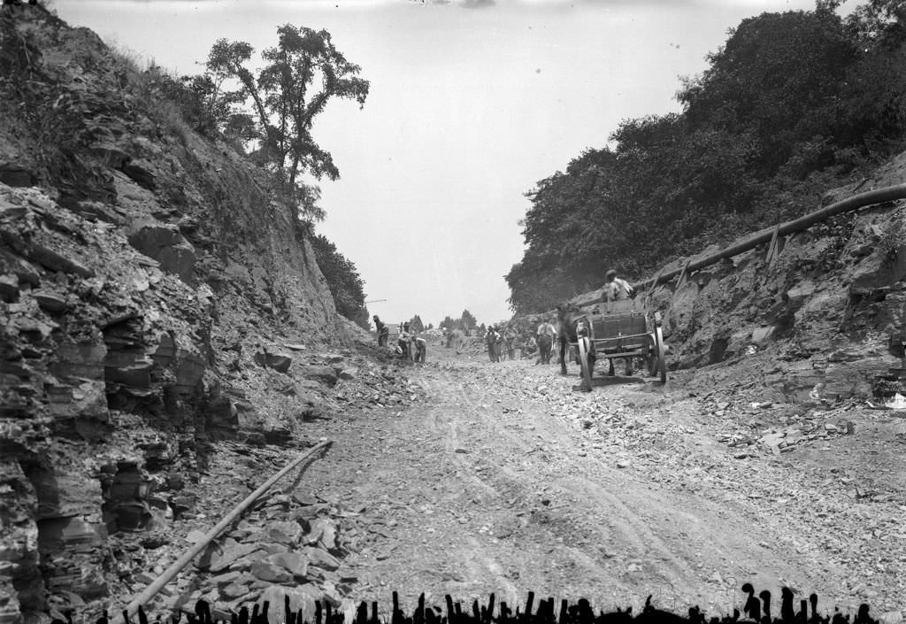
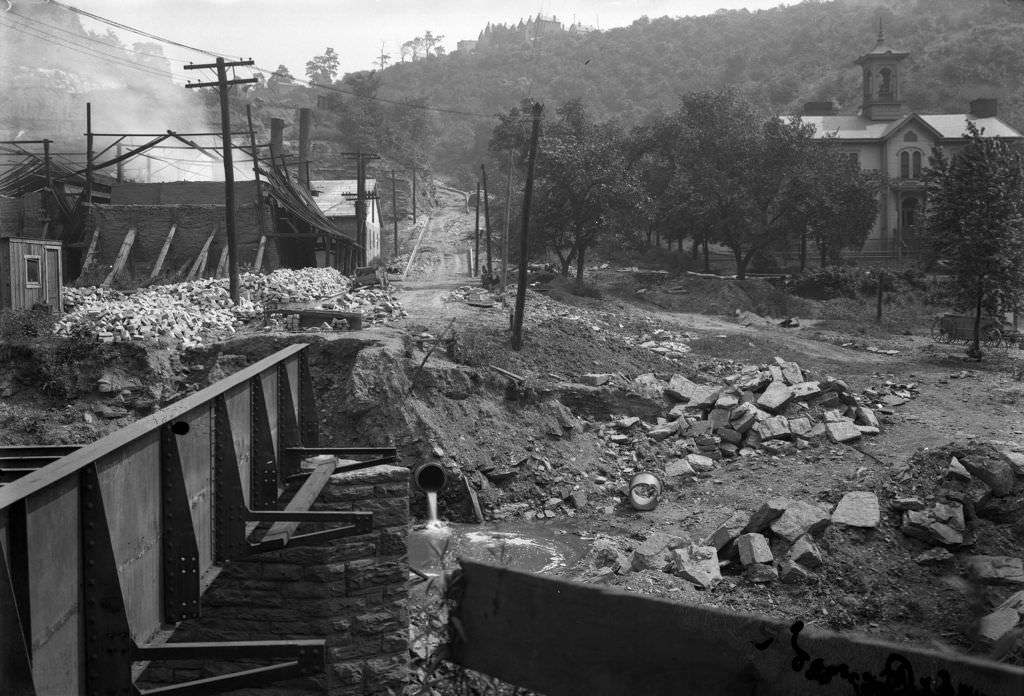
The condition of streets like Shaler was a recurring concern for city administrators. Muddy, rutted, and poorly drained, these roads were difficult to navigate in wet weather and created problems for the growing number of residents using automobiles. Garage construction at nearby intersections like 42nd and Bruce Streets shows that residents were already investing in car storage even before the roads serving them had been properly surfaced.
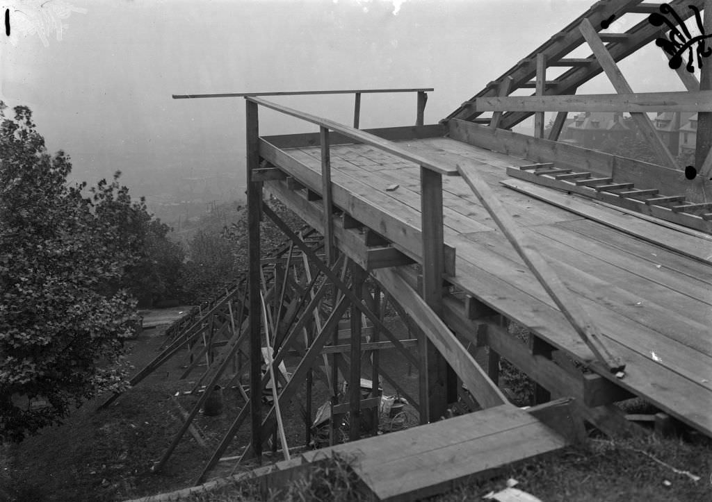
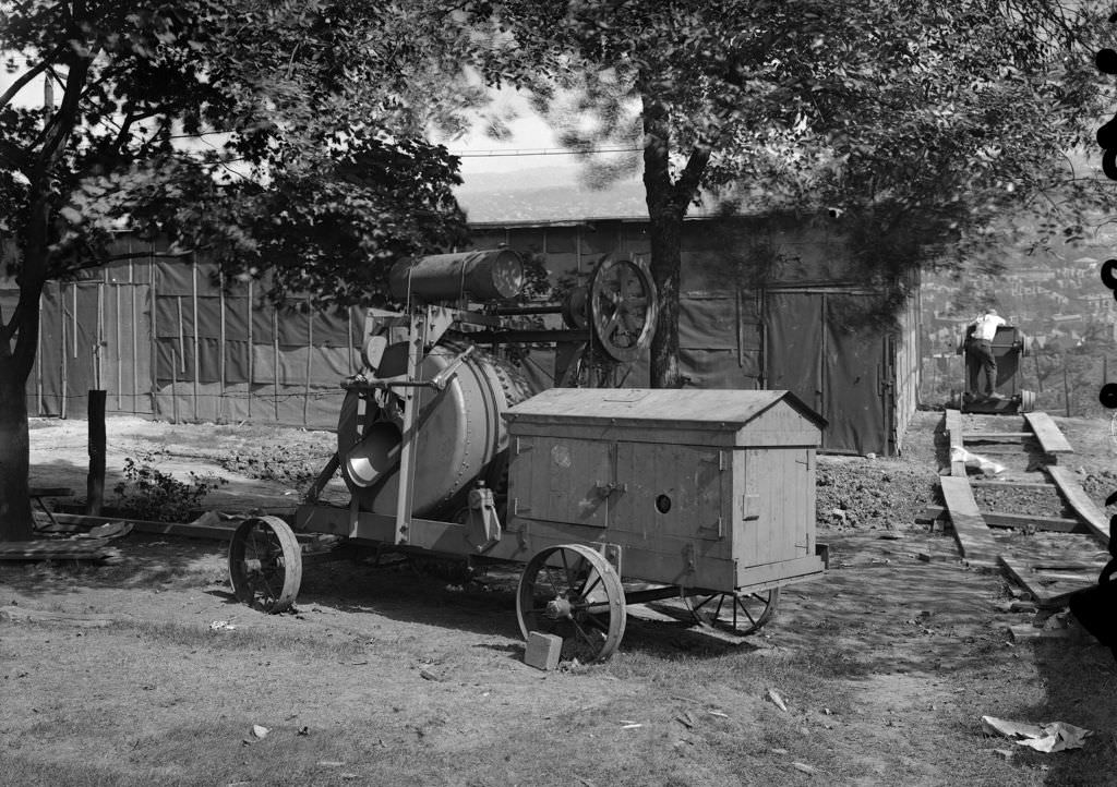
The scale of construction work at Herron Hill Reservoir in 1920 required specialized equipment. Conveyors carried materials up the embankment, and concrete mixers ran continuously to pour the lining work that protected the reservoir’s structure. The photographs of this machinery were taken as construction records, documenting each phase of the project for the city’s engineering department.
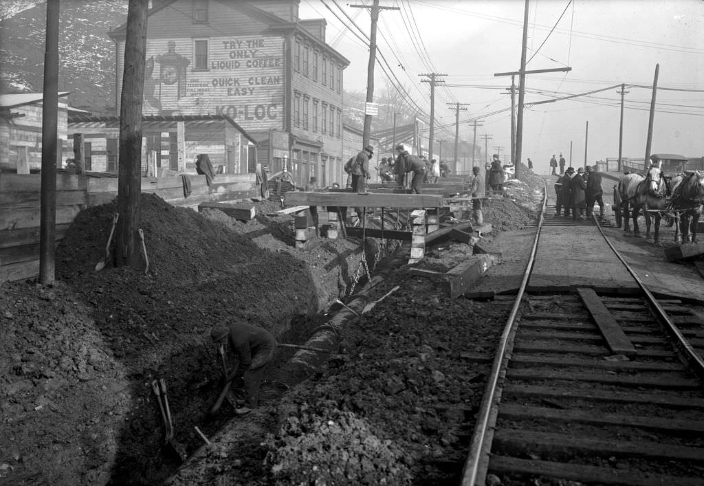
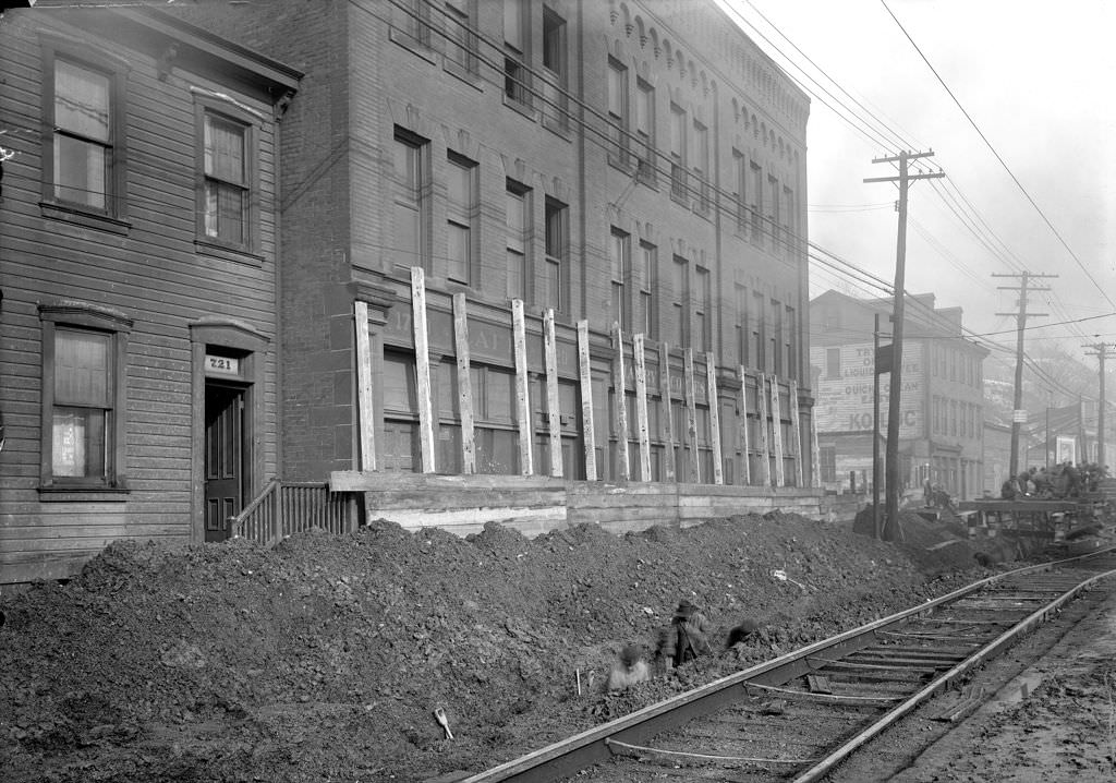
Water main work on East Ohio Street in 1920 involved raising a 24-inch line — a major operation requiring a full crew and heavy equipment. East Ohio Street was one of the North Side’s primary commercial and residential corridors, and the water main work disrupted the street significantly. The photographs taken near Herrs Island Bridge document the scale of the excavation and the engineering required to lift and reposition the line.
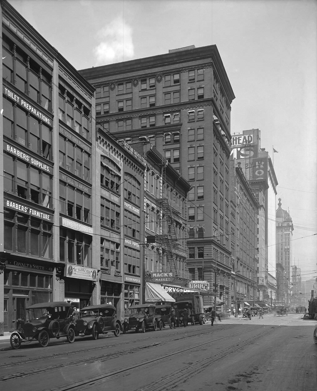
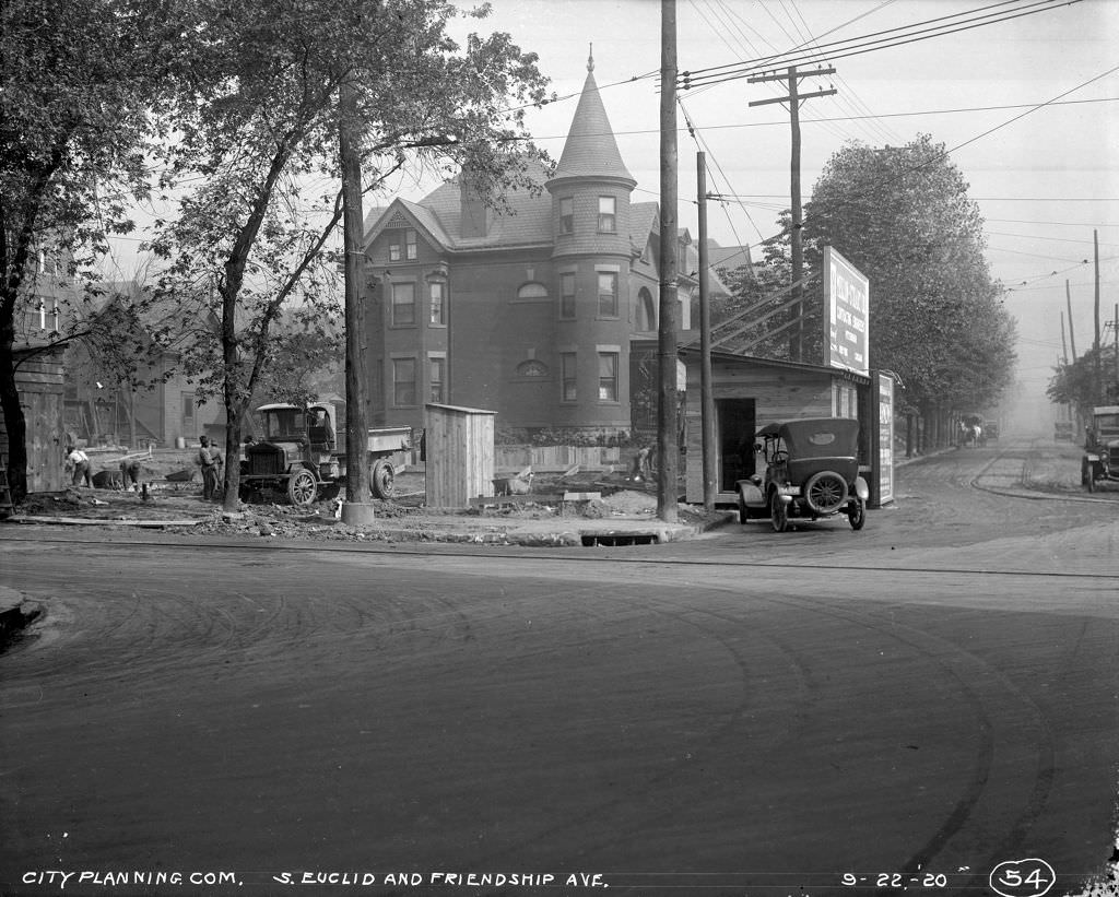
Liberty Avenue was Pittsburgh’s main downtown corridor, lined with commercial buildings, theaters, and office blocks. The Empire Building was one of its established landmarks by 1920. Meanwhile, construction continued in the residential neighborhoods branching off the main arteries. South Euclid and Friendship Avenue showed the mix of existing homes and new building activity that characterized Pittsburgh’s expanding neighborhoods.
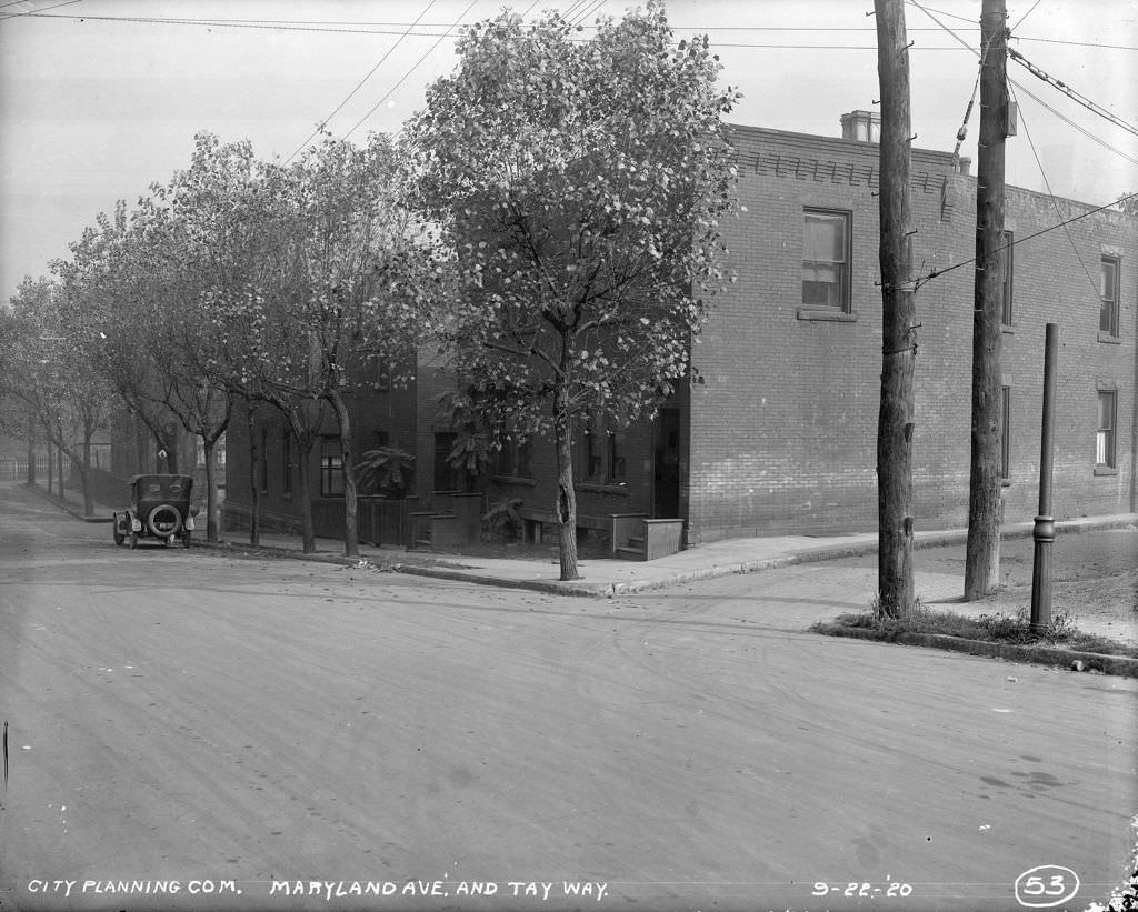
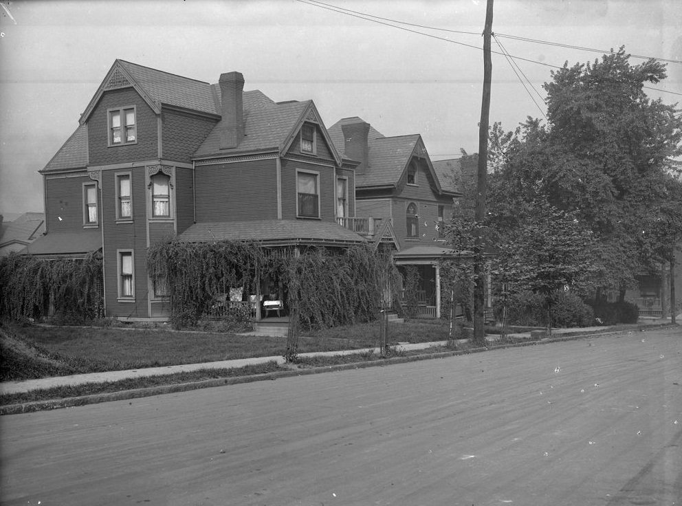
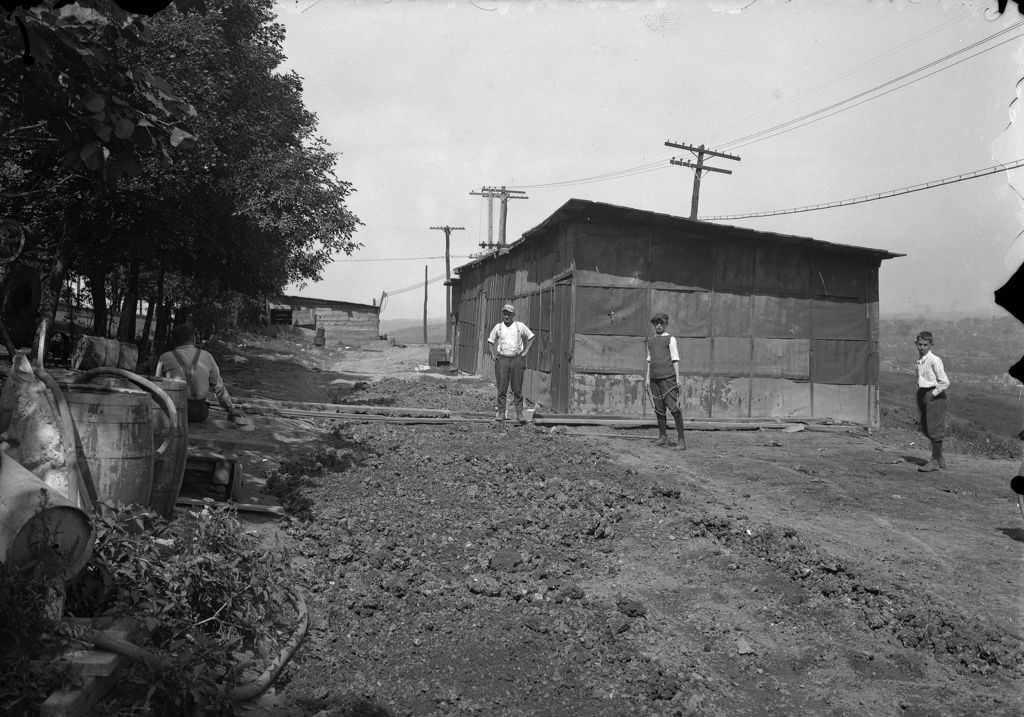
Maryland Avenue was documented for its residential and road conditions in 1920, with photographs taken at the Tay Way intersection showing the state of both the road surface and the properties facing it. The cement shed at Herron Hill Reservoir, photographed the same year, represents the industrial side of city maintenance — the storage and supply infrastructure that made construction projects possible.
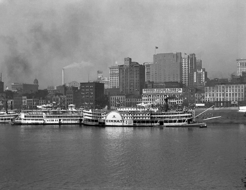
In 1929, a dedication cruise ran from Pittsburgh to Cairo, Illinois, along the Ohio River. The event was tied to the completion of navigation improvements on the river — a federal project that had taken years and that transformed the Ohio into a more reliable commercial waterway. The Keystone Bank Building served as a backdrop for the Pittsburgh send-off, marking the occasion as a civic milestone.
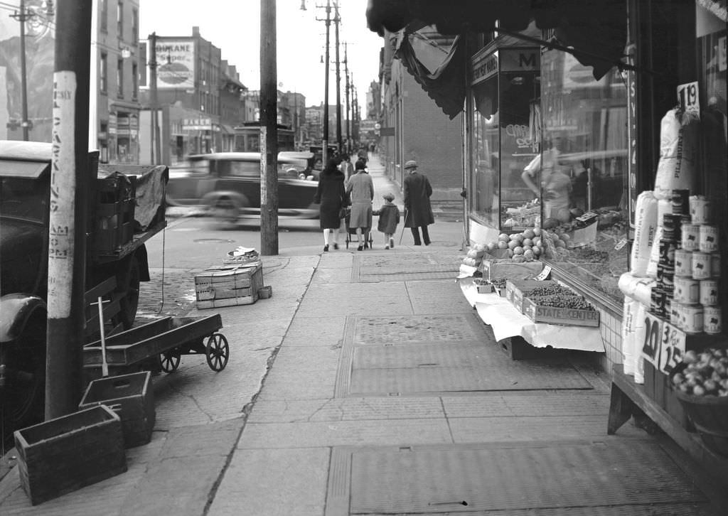
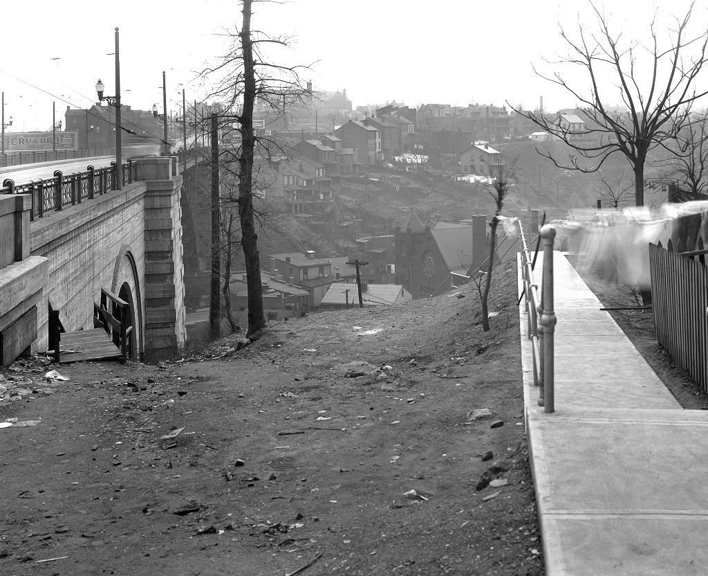
Frankstown Avenue in the East End was a neighborhood shopping street where produce vendors laid out their goods on the sidewalk. These open-air fruit and vegetable displays were common across Pittsburgh’s commercial blocks, serving residents who shopped daily rather than in weekly bulk. The California Avenue Bridge steps, photographed the same year, show the vertical geography of Pittsburgh — staircases built into hillsides to connect neighborhoods separated by elevation.
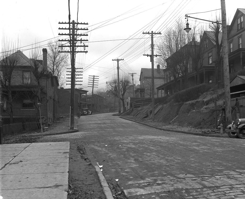
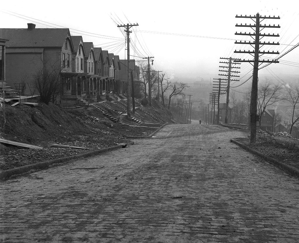
Brushton Avenue in the East End’s Homewood-Brushton neighborhood was a working-class commercial and residential street. The 1929 photographs looking both north and south along the avenue document a neighborhood in transition — older wooden structures standing alongside newer brick buildings, with streetcar infrastructure threading through the middle of it all.
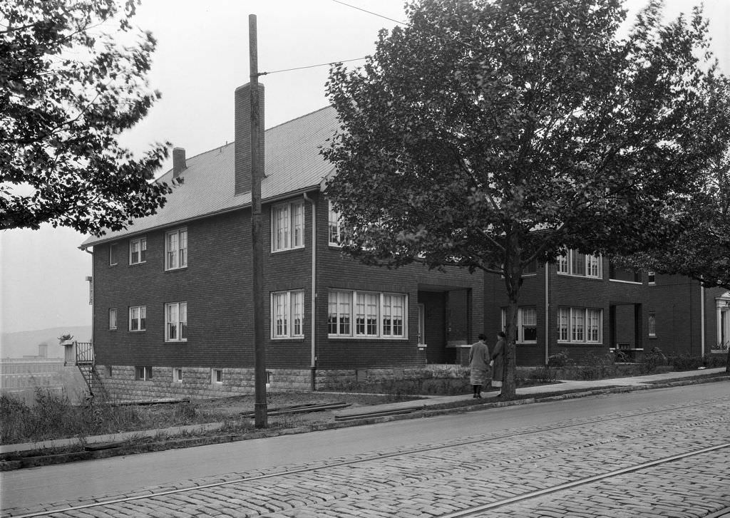
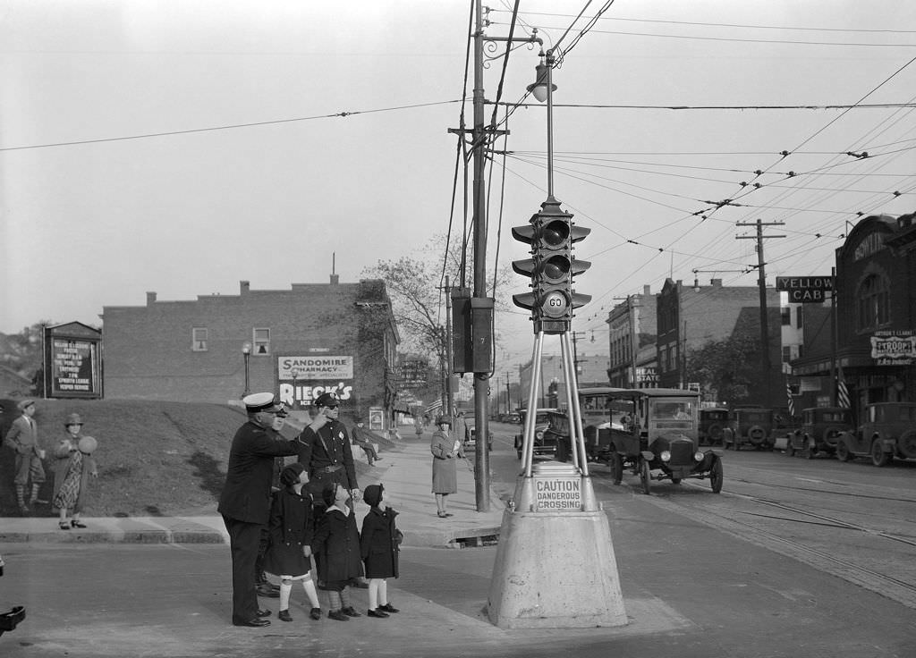
Perrysville Avenue on the North Side showed typical residential duplex housing from the mid-1920s. Nearby, at Forbes and Murray Avenues in Squirrel Hill, a 1926 photograph captured police officers alongside children on a street corner — a scene that speaks to the growing presence of traffic management in Pittsburgh’s busier intersections as automobile use increased throughout the decade.
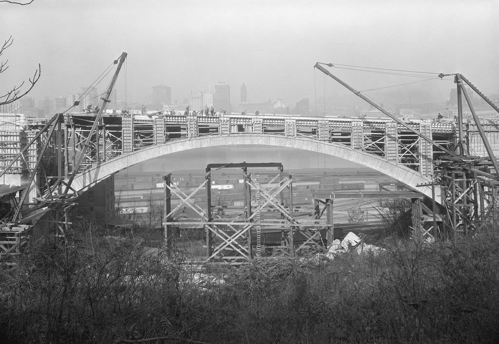
The construction of the Mount Washington Roadway Bridge in 1927 was one of the decade’s significant engineering projects. The bridge connected Mount Washington’s hillside neighborhood to the downtown core across the Monongahela River. Photographs of its main arch under construction show the scale of the steel-frame work involved — a project that required precision engineering and the kind of skilled labor that Pittsburgh’s industrial workforce was well-positioned to supply.
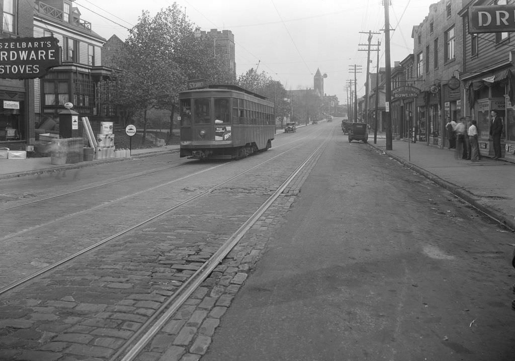
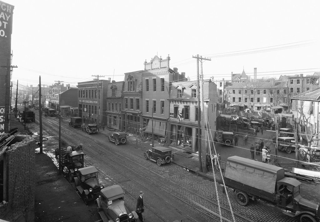
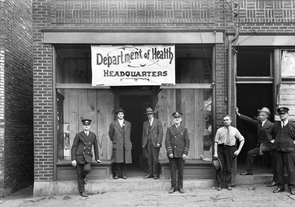
The Route 53 trolley along Brownsville Road in Carrick was one of many lines running through Pittsburgh’s South Side neighborhoods. The trolley system was the primary way most Pittsburgh residents got around the city in 1927. That same year, a gas explosion on Ridge Avenue caused serious damage to the street and nearby buildings. The blast required the Department of Health to set up an emergency station at the corner of Reedsdale and Ridge to manage the response.
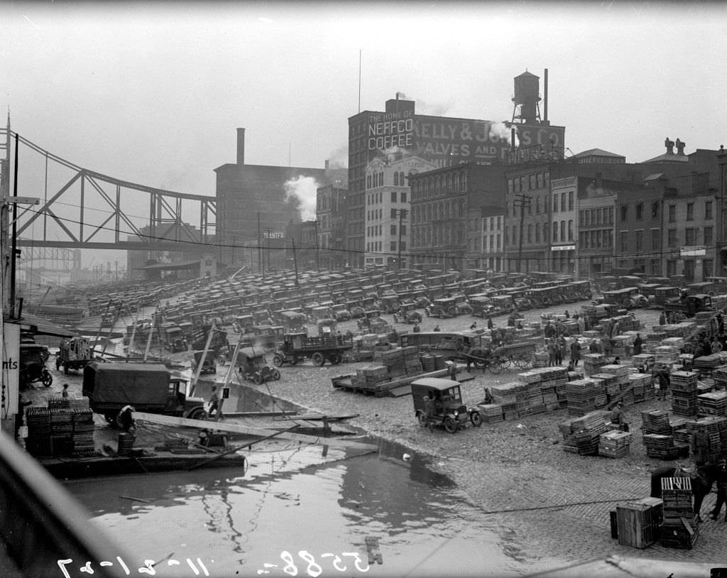
Water Street, running along the Monongahela riverfront, was lined with businesses that served the wharf workers and river trade. In 1927, the city was documenting conditions on the street and recording ongoing improvements. The storefronts there served a working waterfront clientele — practical goods, food, and supplies for the laborers and dock hands who worked the wharf daily.
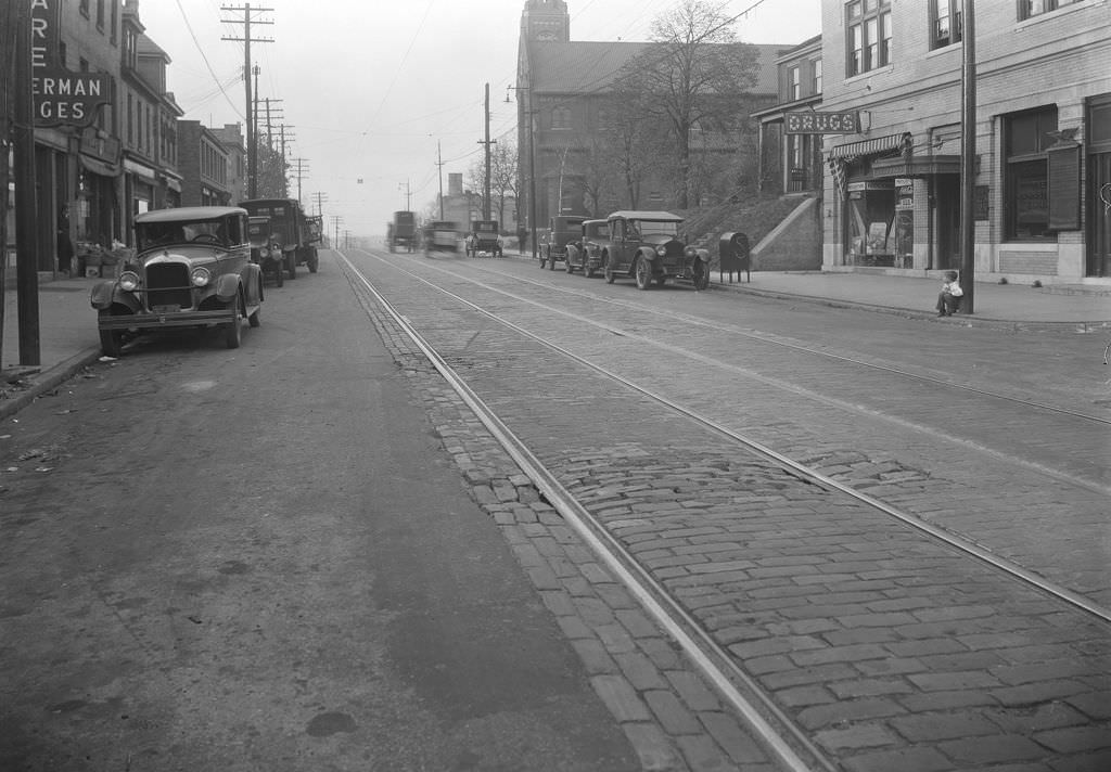
Brownsville Road in Carrick was a fully functioning neighborhood main street by 1927. A drug store anchored the commercial block, and the streetscape — with its trolley infrastructure, brick storefronts, and pedestrians — shows a neighborhood that was active and self-sufficient. A boy sitting on the curb in one photograph gives the scene an unguarded quality, a moment of ordinary Pittsburgh life caught in the frame.
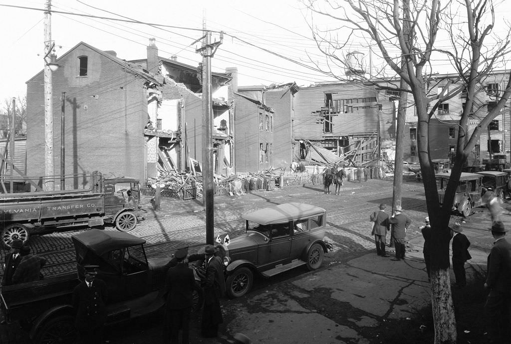
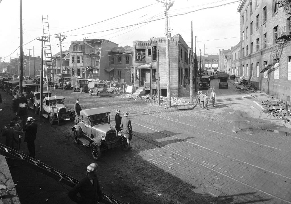
The gas explosion on Reedsdale Street in 1927 caused significant structural damage across multiple addresses. Photographs taken in the aftermath — covering house numbers 1212 through 1272 — show the extent of the destruction. Facades were blown out, windows shattered, and street infrastructure torn up across the affected block. The city’s documentation of the damage was thorough, photographing each address range separately.
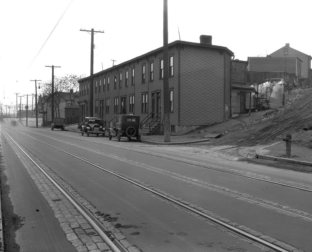
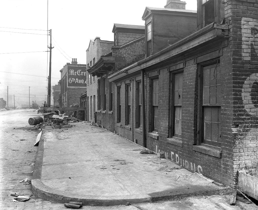
California Avenue and its surrounding blocks were photographed extensively in 1929 as the city assessed properties and infrastructure along the corridor. West General Robinson Street showed visible debris near the Itasco intersection — another example of the ongoing maintenance and documentation work that Pittsburgh’s municipal departments carried out continuously throughout the decade.
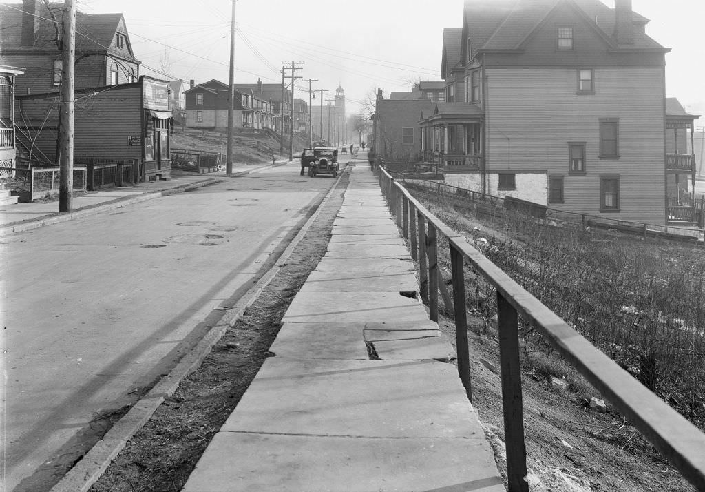
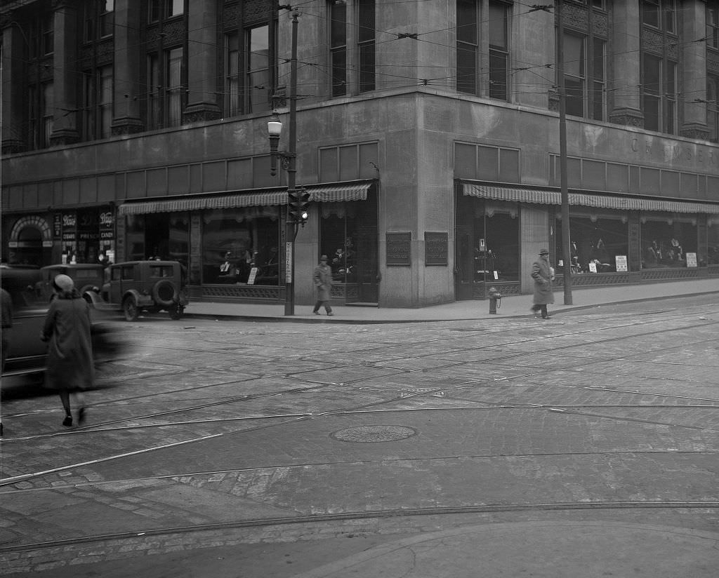
The A. Zahm Grocery and Confectionery was the kind of small, family-run business that anchored Pittsburgh’s residential blocks. These stores served as neighborhood gathering points as much as retail outlets, selling everything from bread and canned goods to sweets and household supplies. A short distance away, the Pittsburgh Chamber of Commerce Building on Smithfield Street represented the organized business community that was pushing for the city’s continued growth and investment.
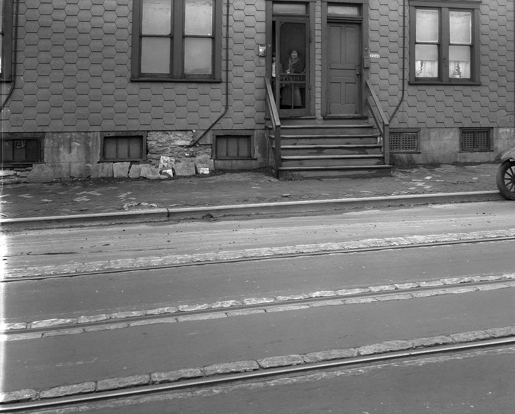
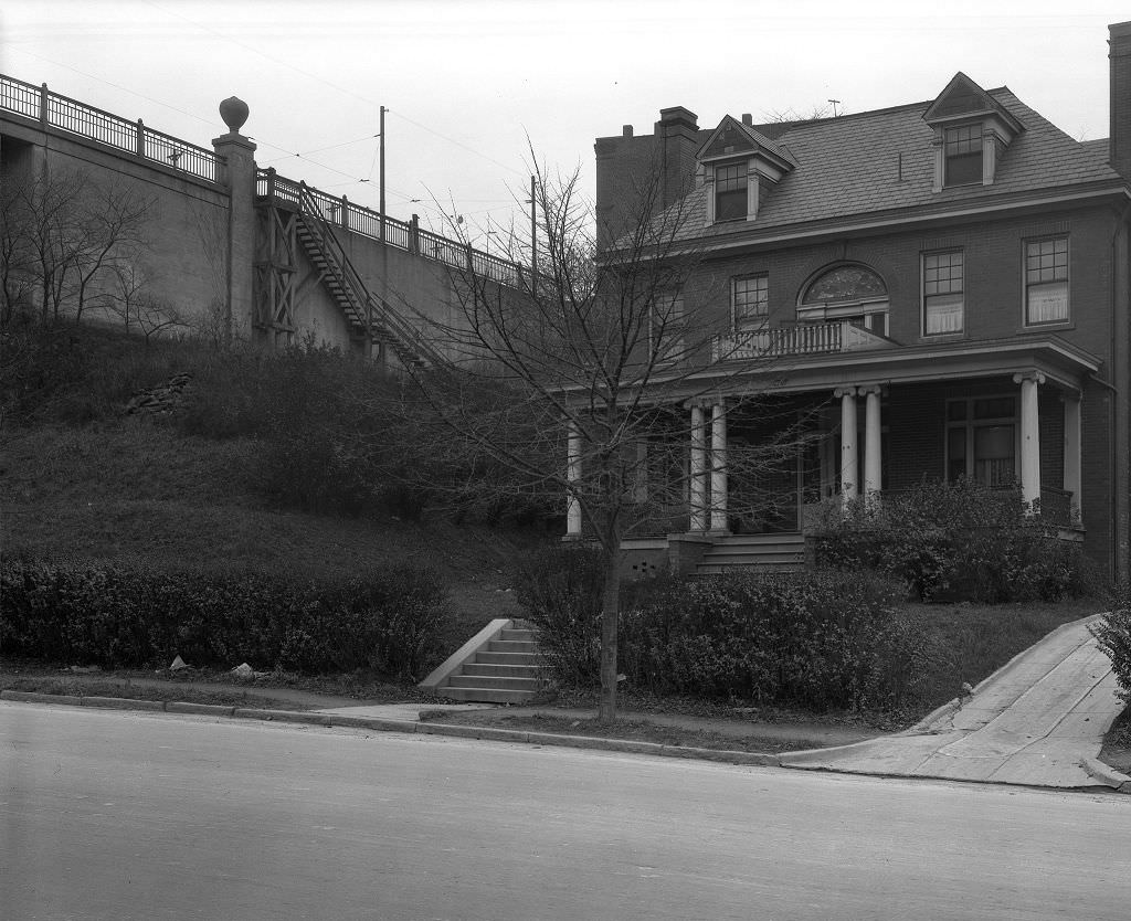
Beechwood Boulevard in the Squirrel Hill and Swisshelm Park area offered a more open, leafy streetscape than the dense industrial neighborhoods closer to the rivers. The view toward Murray Avenue Bridge in 1929 shows a well-maintained boulevard with established trees and solid residential construction — a part of Pittsburgh that looked and felt more suburban even while remaining firmly within city limits.
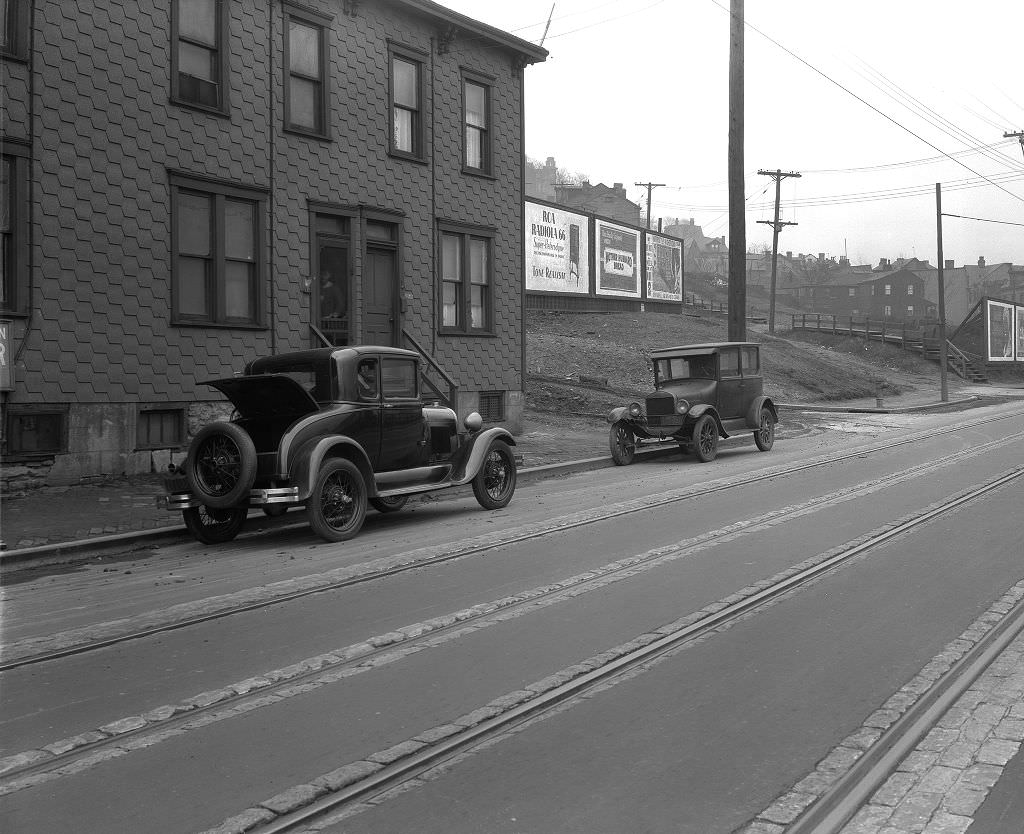
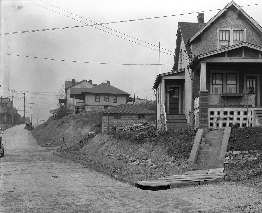
Billboards had become a standard feature of Pittsburgh’s streetscape by 1929. On California Avenue at Marvista Street, large advertising signs competed for space along the commercial strip. Outdoor advertising had grown rapidly with the rise of automobile traffic — ads were sized and positioned to be read from a moving vehicle, a shift that reflected just how thoroughly the car had changed the way people moved through and perceived city streets.
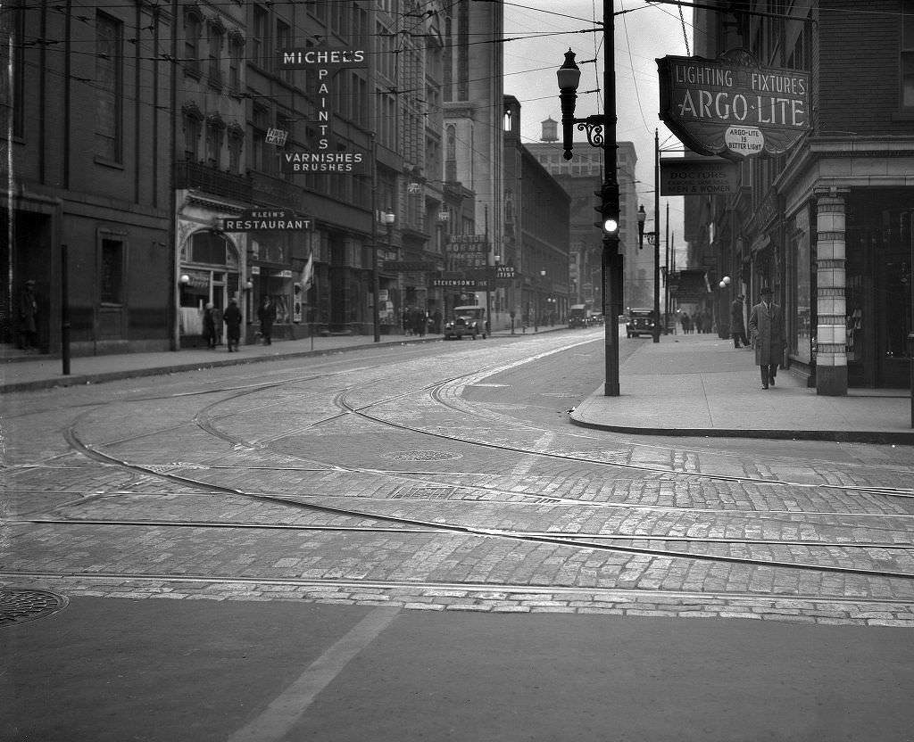
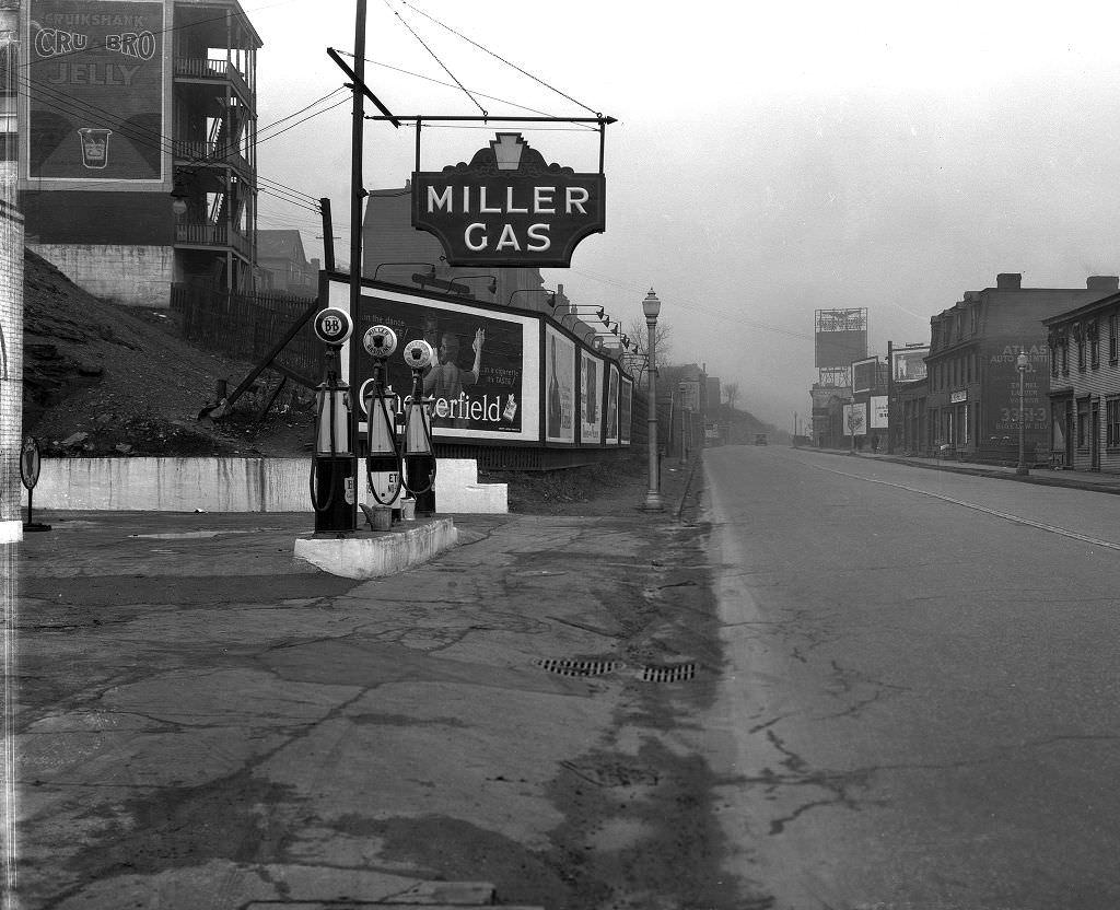
Seventh Avenue at Smithfield Street was squarely in Pittsburgh’s downtown commercial core. By 1929, the intersection was dense with businesses serving the city’s working and shopping population. Bigelow Boulevard, running through the city’s park system corridor, was home to at least one gas station by the same year — Miller’s — serving the growing number of motorists navigating the city’s parkways.
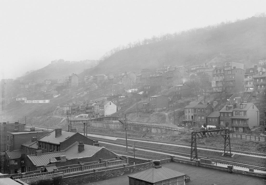
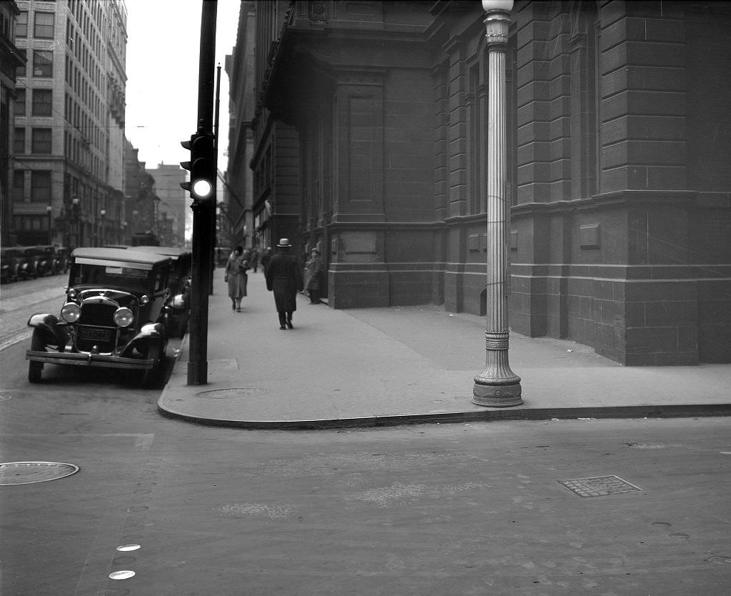
Smithfield Street was one of downtown Pittsburgh’s primary north-south axes. The view from Oliver Avenue looking down Smithfield in 1929 shows a street lined with commercial buildings, pedestrians on busy sidewalks, and the overhead infrastructure of the streetcar system threading through the middle. The Terminal Warehouse, visible from the Mount Washington Road extension, sat at the intersection of rail, road, and river commerce.
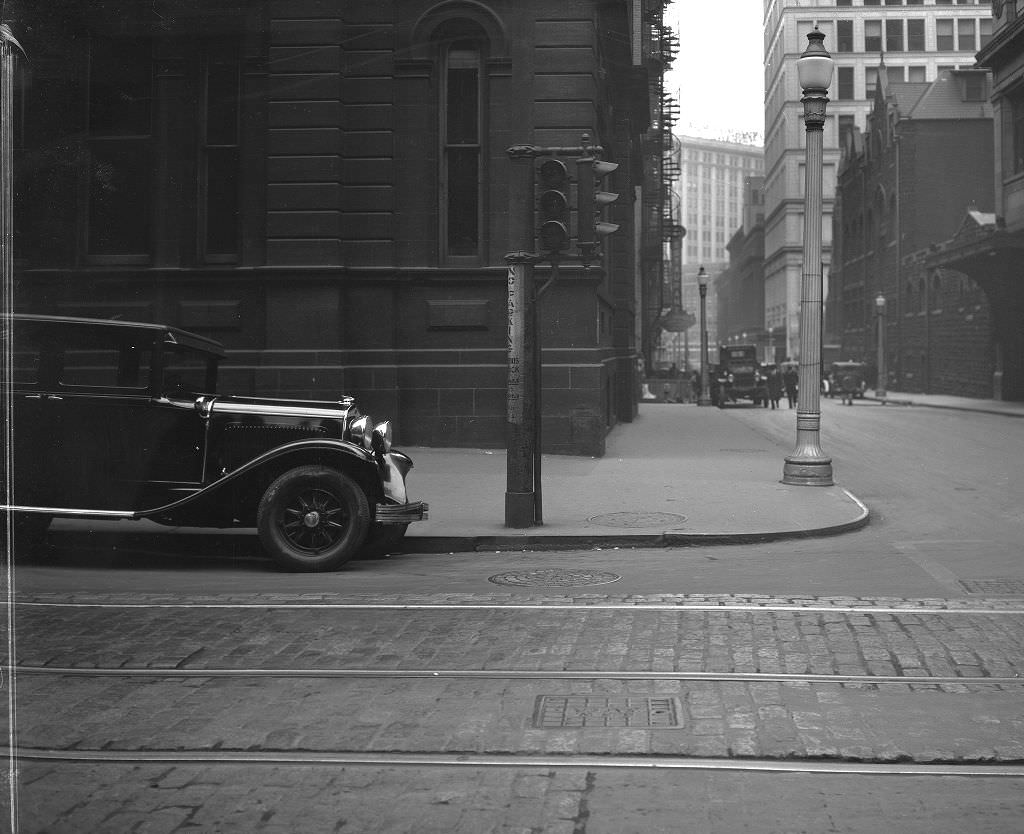
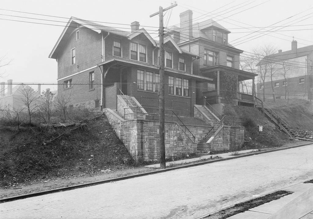
The intersection of Oliver Avenue and Smithfield Street sat at the heart of Pittsburgh’s business district, surrounded by financial institutions, law offices, and commercial firms. Just a short distance away in the residential neighborhoods, private homes like C.T. Gracy’s residence at 1036 Mirror Street represented the quieter, domestic side of the city — a world apart from the downtown bustle but connected to it by the transit lines that ran through every neighborhood.
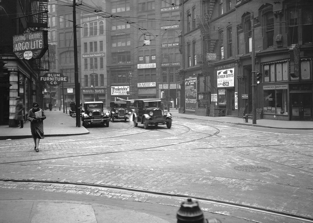
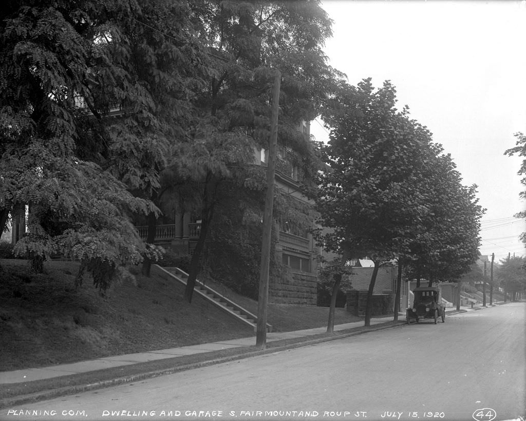
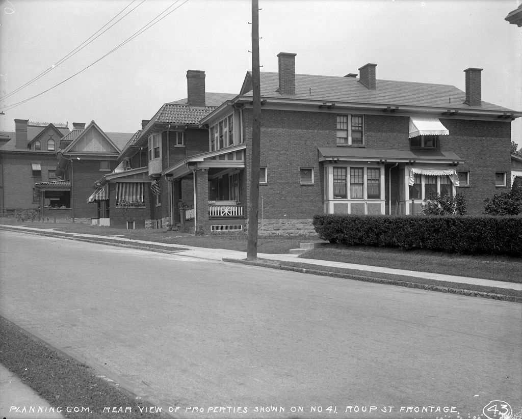
A woman photographed at Seventh Avenue and Smithfield Street in 1929 captures the street-level experience of Pittsburgh’s downtown — the hats, the storefronts, the press of pedestrian traffic on a working day. The home and garage on South Fairmount and Roup, photographed nine years earlier at the start of the decade, shows how much smaller and more residential the city’s character became just a few blocks from its main commercial streets.
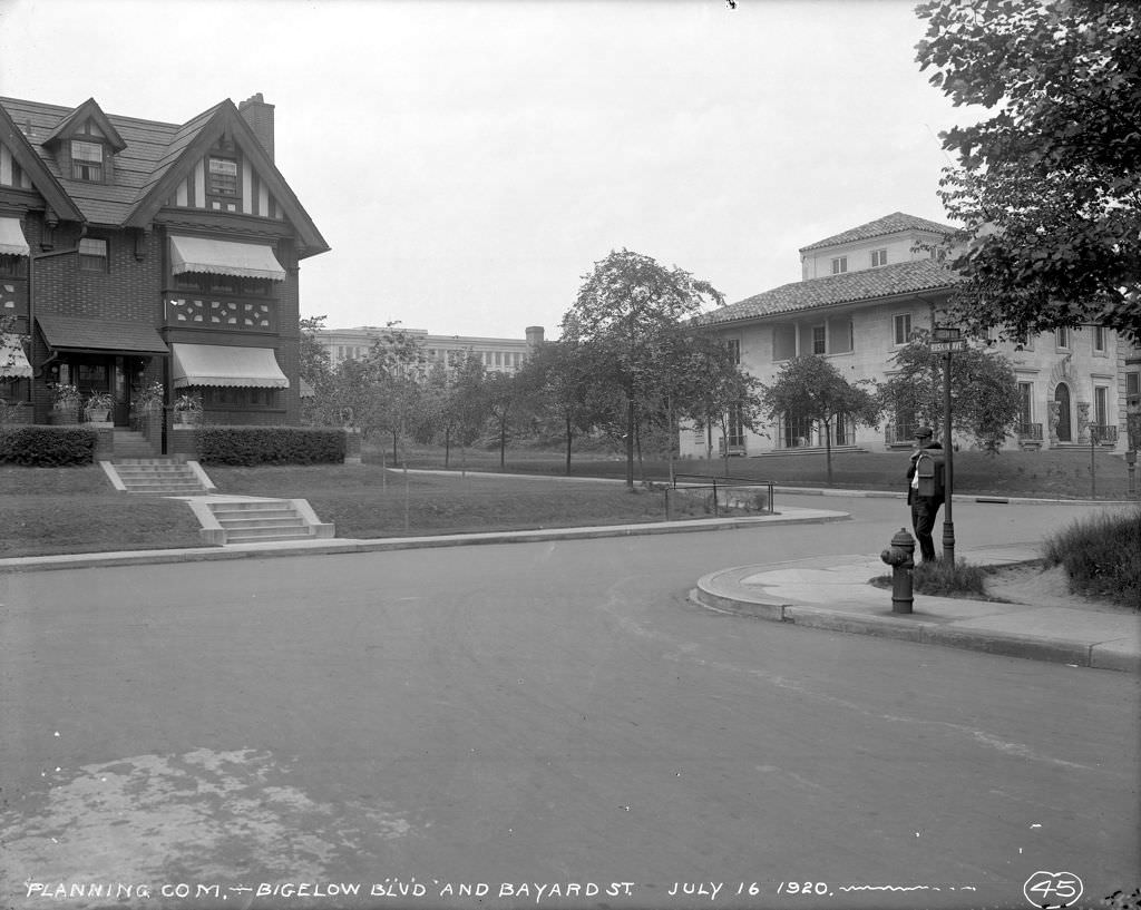
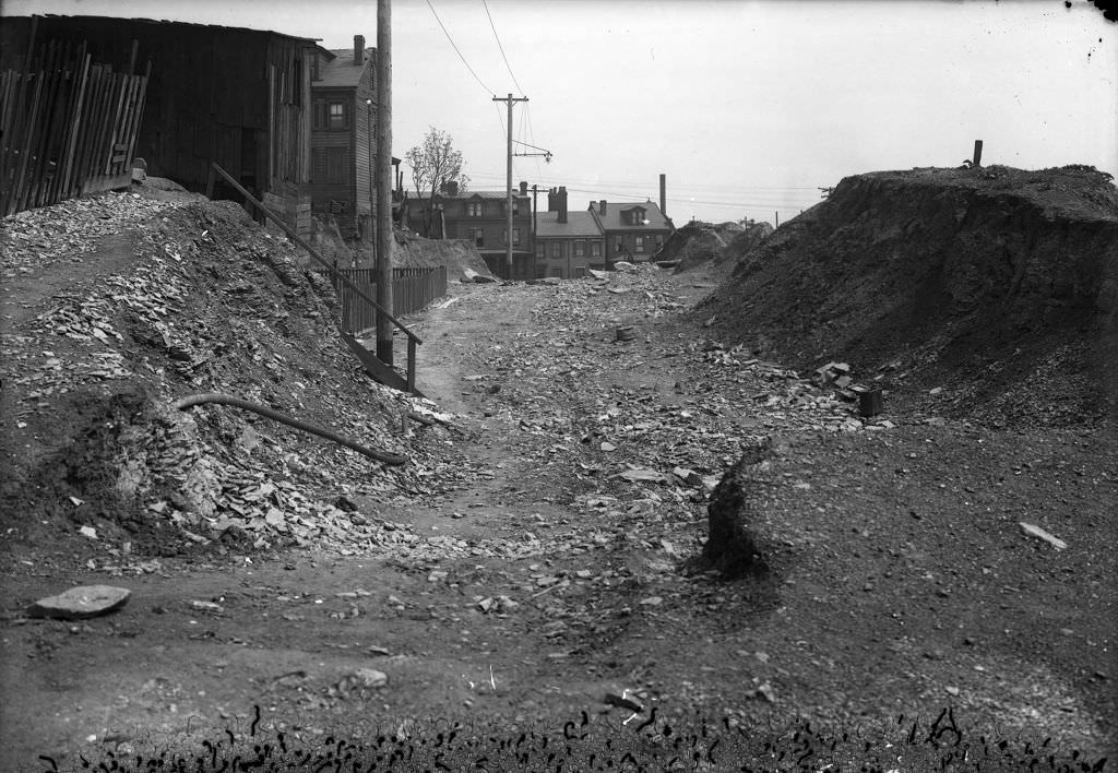
Schenley High School, visible from the Bigelow and Bayard corner in 1920, was one of Pittsburgh’s premier public schools. It sat at the edge of Oakland, the city’s academic and cultural district. Malcolm Street, photographed from multiple vantage points in 1920, was a narrow residential street in a hill neighborhood — the kind of block that existed in dozens of variations across Pittsburgh’s irregular terrain.
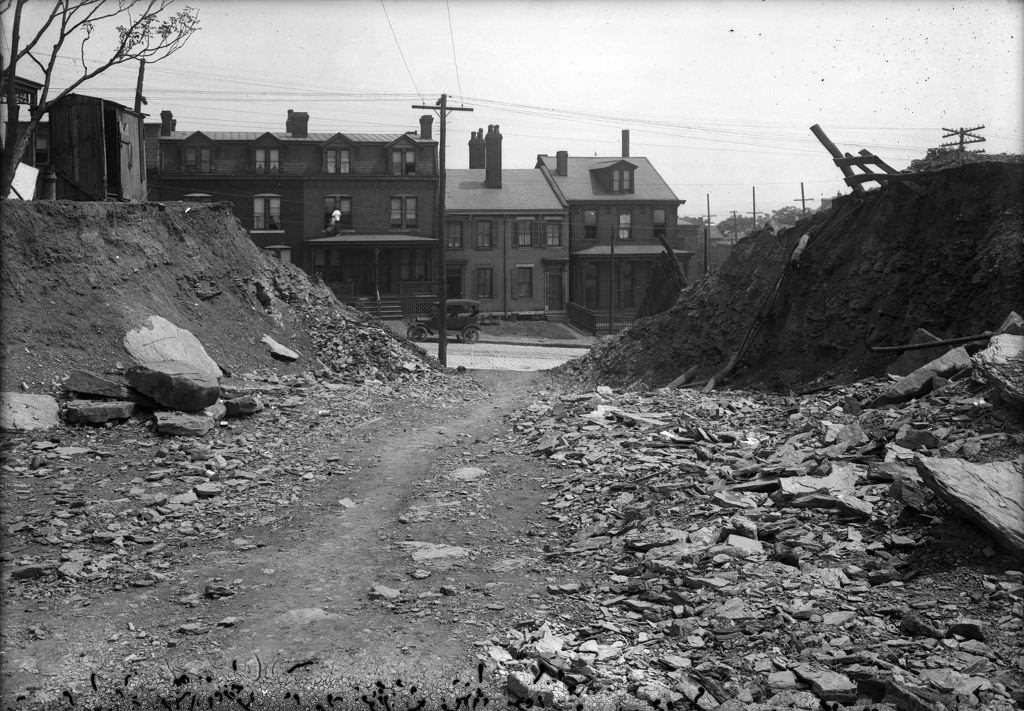
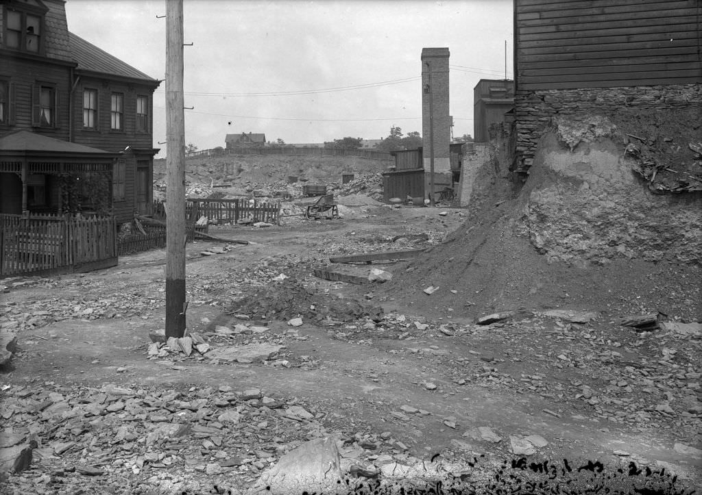
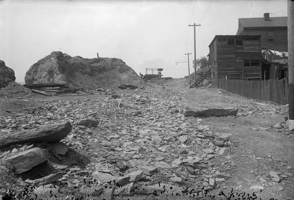
The multiple photographs of Malcolm Street and its intersection with Tomahawk Street in 1920 were part of a systematic street-condition survey. City photographers walked the blocks and shot from multiple angles — north, south, east, looking toward Bedford — to give planners a complete picture of the street’s state. These surveys informed decisions about paving priorities, drainage improvements, and property assessments.
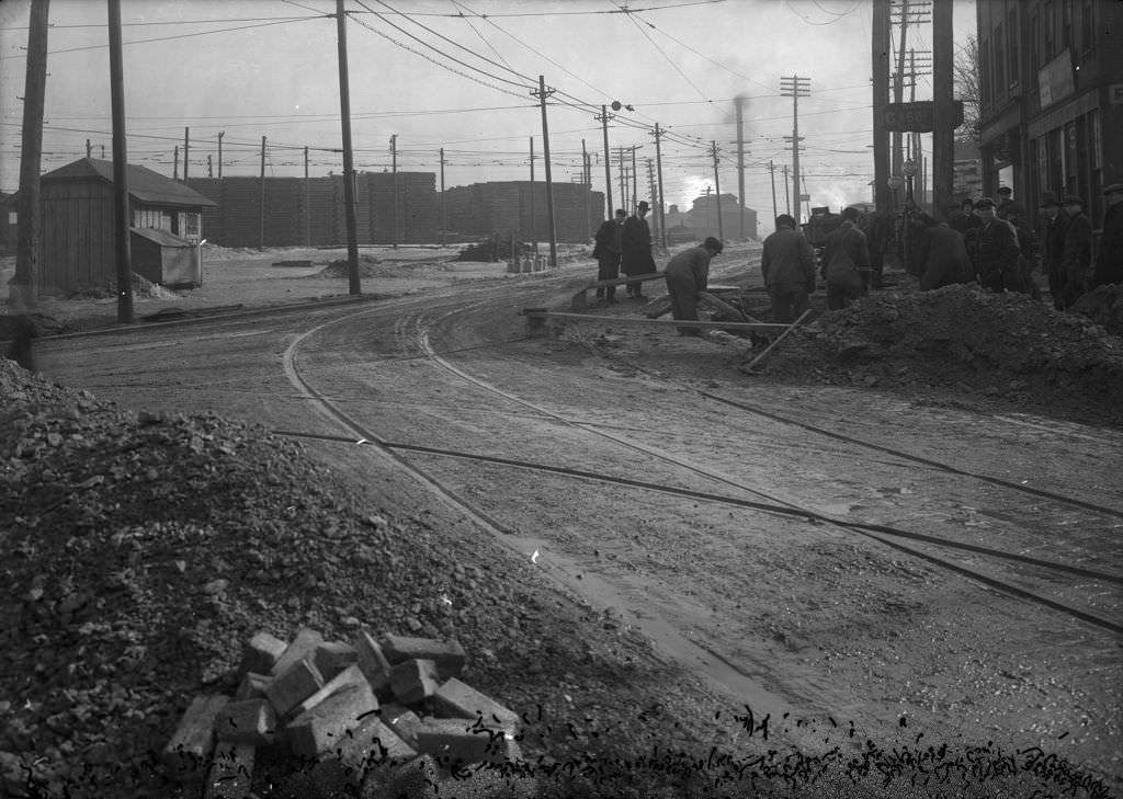
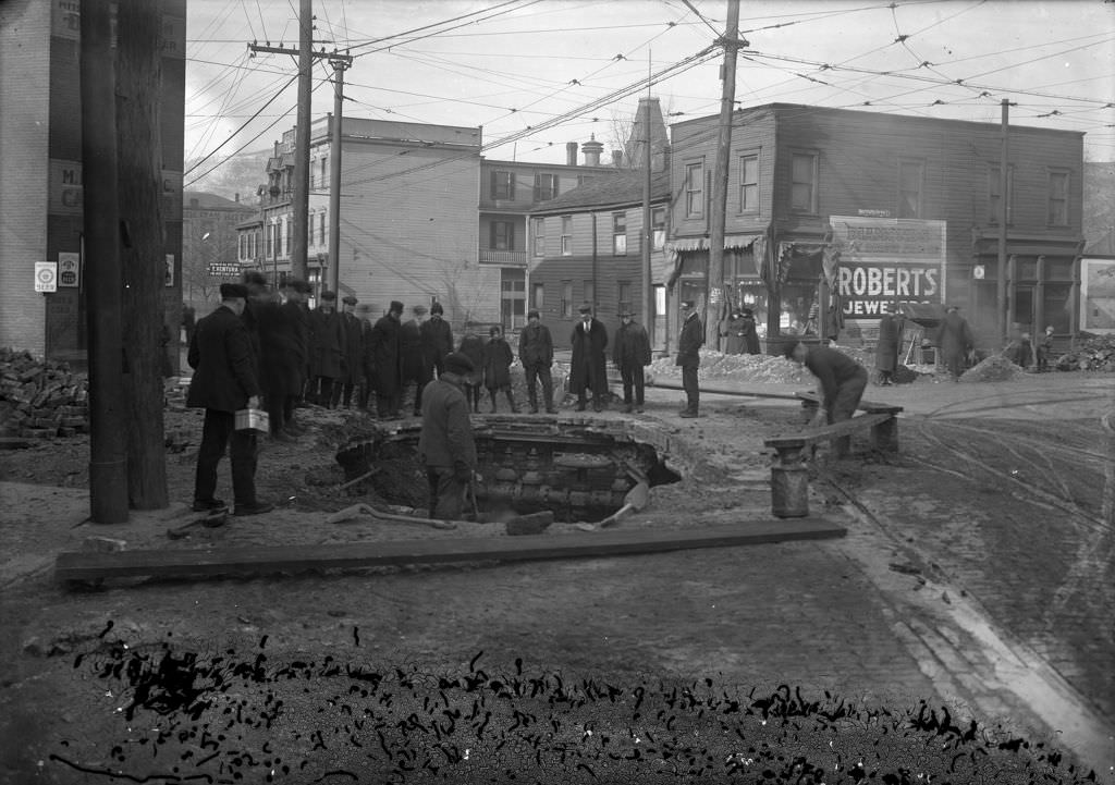
A break in the water main at the intersection of Stanton and Ohio Streets in 1920 required immediate excavation and repair. The photographs taken at the site — from multiple directions — show the open trench, the exposed pipe, and the work crew managing the repair. Water main breaks were a regular occurrence in Pittsburgh’s aging infrastructure network, and the city’s engineers documented each incident as a record of the work performed.
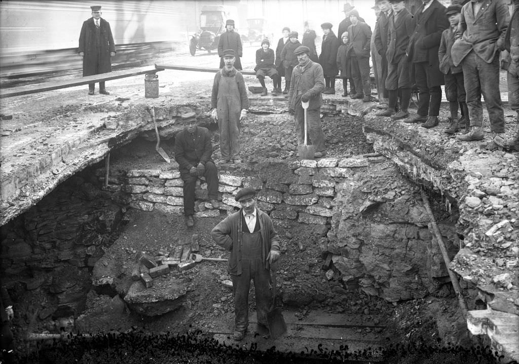
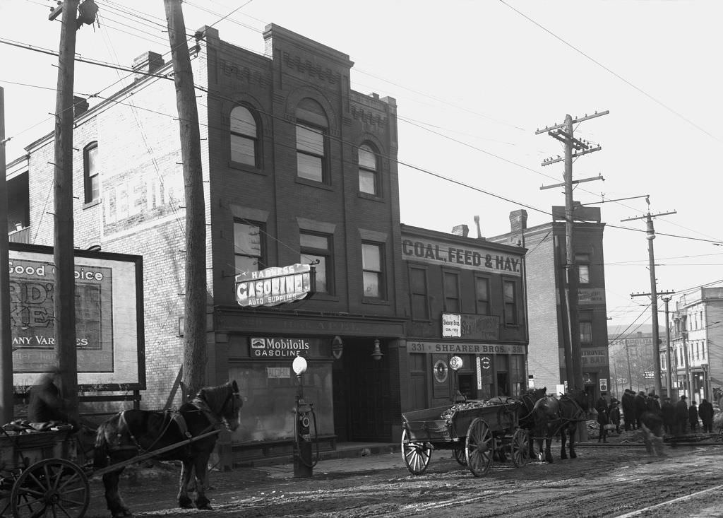
The washout visible in the water main break photographs shows the secondary damage that pipe failures caused — water undermining the road base and creating unstable ground around the break. Shearer Brothers, a business at Butler and Grant in the borough of Millvale just north of Pittsburgh, represents one of the many commercial establishments operating in the communities that ringed the city and depended on its infrastructure and economy.
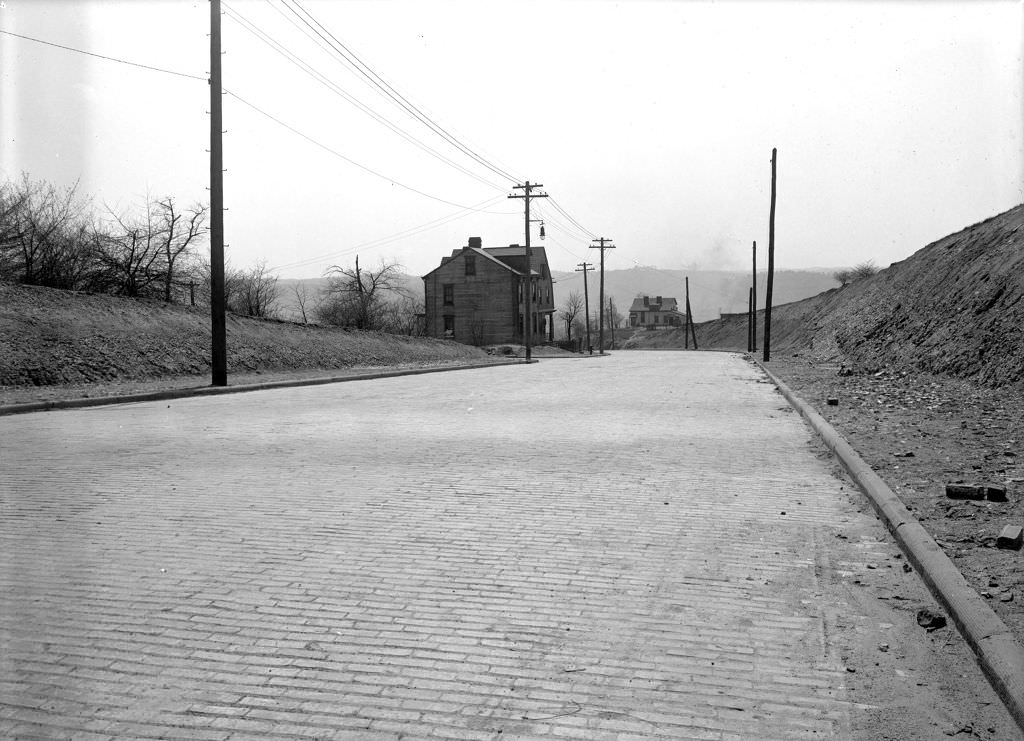
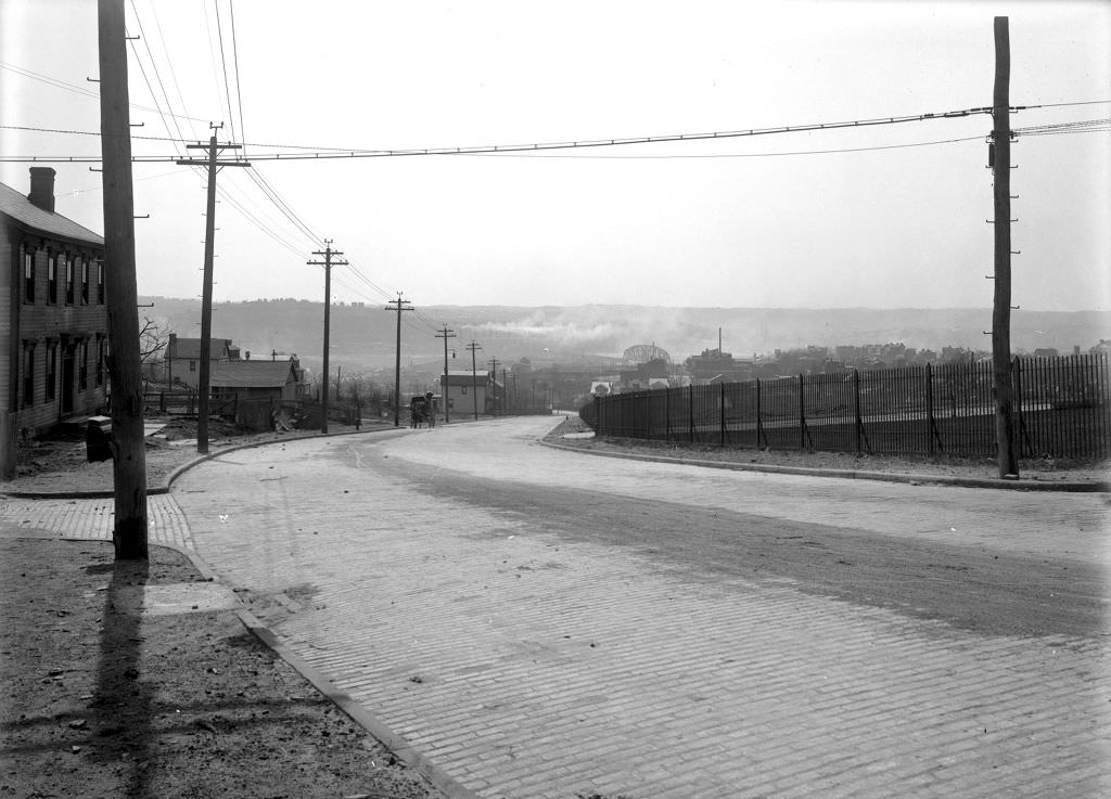
Marshall Avenue and the streets connecting it to Irwin Avenue and Brighton Road on the North Side were documented in detail in 1920. These wide residential and commercial streets served the dense North Side neighborhoods, and the photographs show the condition of pavement, sidewalks, and building frontages that the city’s surveyors were recording as a baseline for planned improvements.
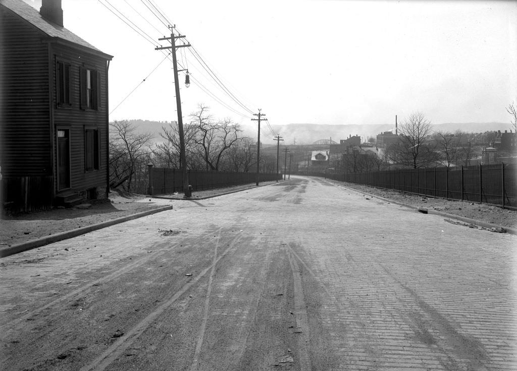
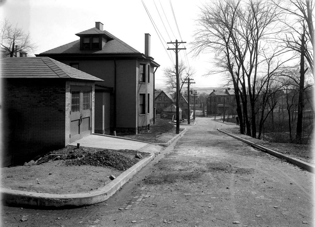
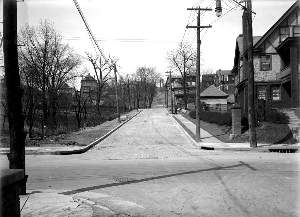
Wapello Street and Aquatic Way were among the smaller streets in Pittsburgh’s North Side grid, tucked between the larger arteries and serving the immediate residential blocks. The view toward Davis Avenue shows the layered topography of the North Side — streets running flat, then climbing, then cutting across the hillside in the irregular pattern that made Pittsburgh’s street grid unlike that of any flat Midwestern city.
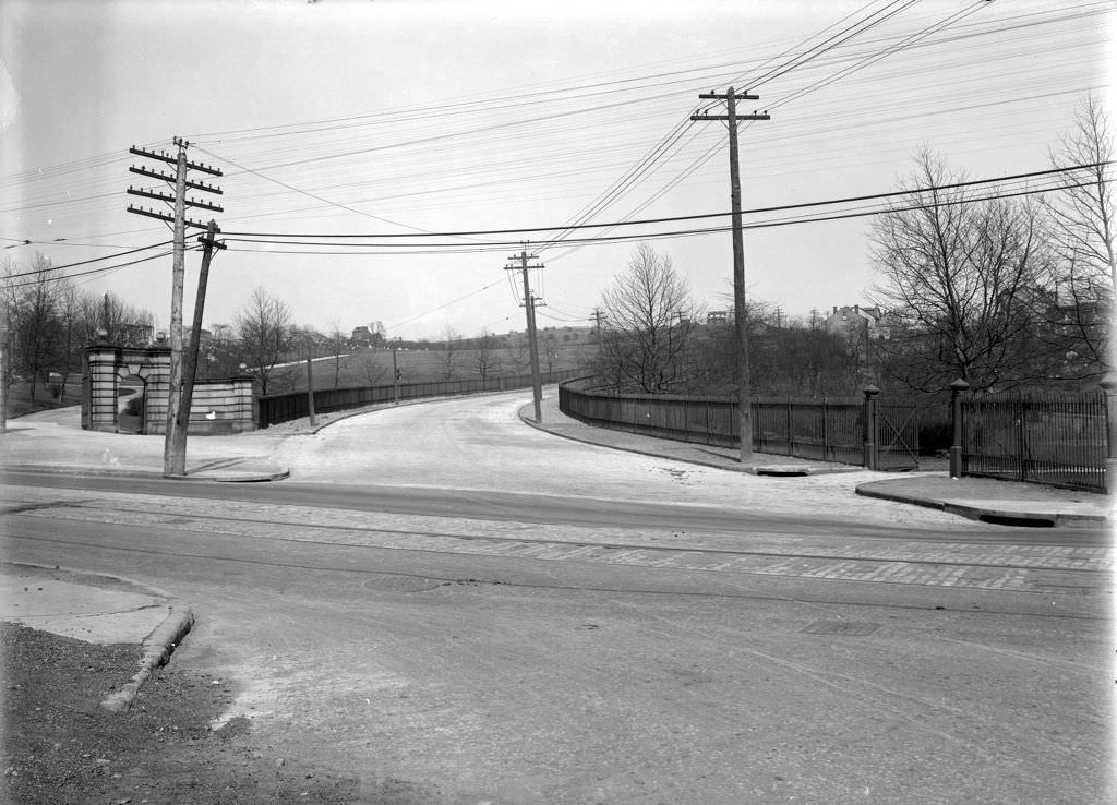
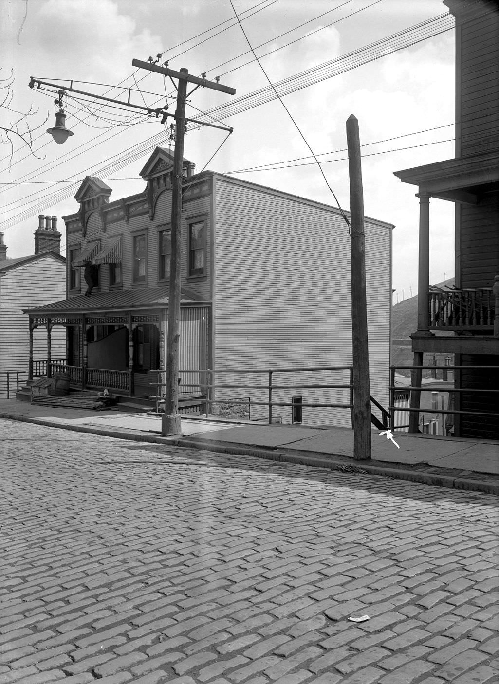
A proposed retaining wall at the south end of Mansfield Avenue in 1920 reflects the constant battle Pittsburgh’s engineers fought against the city’s hillsides. Cut slopes, unstable embankments, and roads carved into hillsides all required structural reinforcement. The photograph documents the existing conditions at the site before construction — standard practice for the city’s engineering department.
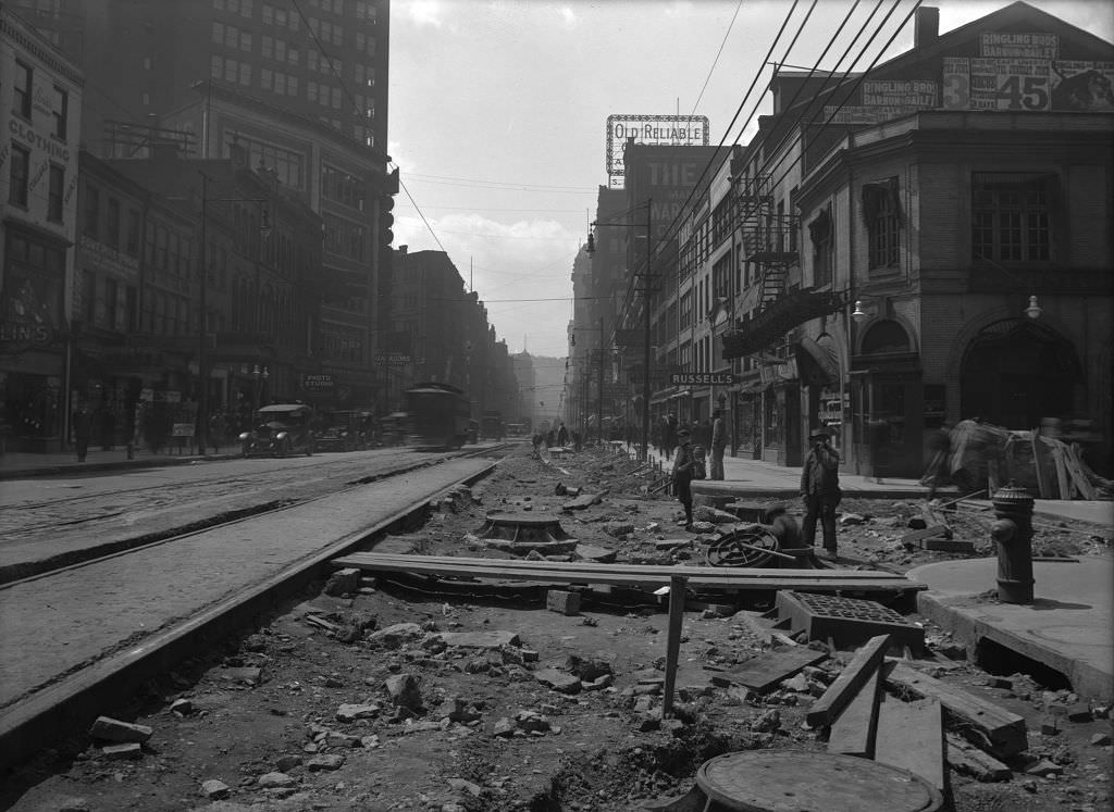
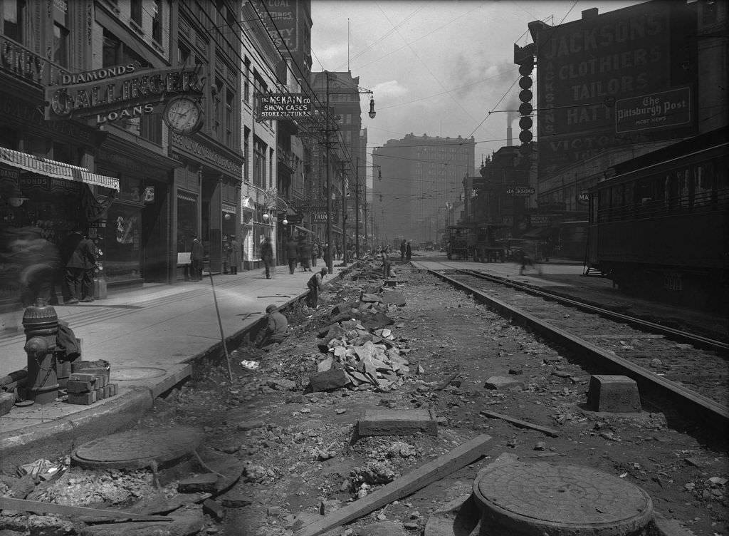
Liberty Avenue near 10th Street and the Victoria Theatre was under active construction in 1920. The Victoria Theatre was part of Pittsburgh’s downtown entertainment district, and the construction work nearby — roadwork, track laying, utility upgrades — was the kind of constant disruption that came with operating a major commercial corridor in a rapidly growing city. Despite the disruption, the theaters and businesses along Liberty Avenue continued drawing large crowds.
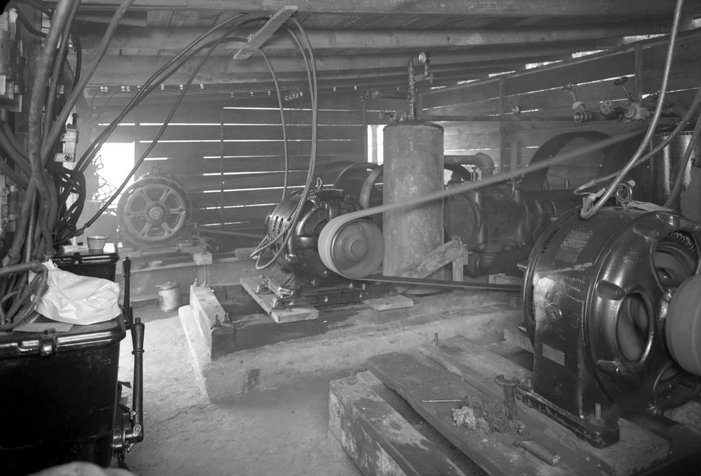
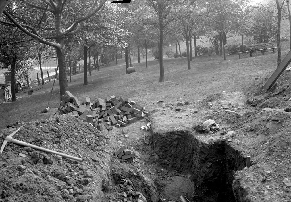
The compressor plant at Herron Hill Reservoir powered the equipment used during the facility’s upgrade work in 1920. After sewer lines were installed, the trench was backfilled and photographed — standard documentation showing the completed work. These infrastructure photographs are among the least visually dramatic in Pittsburgh’s archive, but they represent the essential work that kept a city of hundreds of thousands functioning.
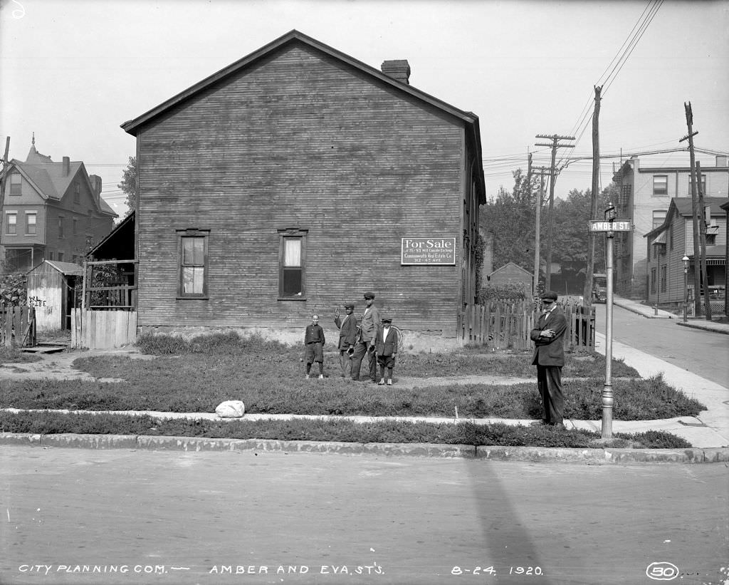
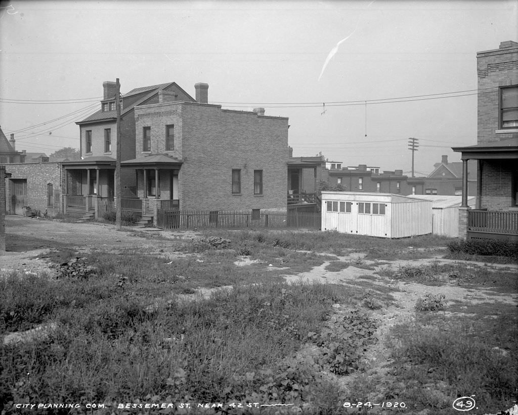
Boys playing horseshoes in the street at Amber and Eva in 1920, with a house for sale visible behind them, captures an unguarded moment of neighborhood life. The homes on Bessemer Street near 42nd Street were typical of the Lawrenceville neighborhood — brick rowhouses sitting close to the street, with the steel mills not far away. Children played in the streets because the streets were where life happened.
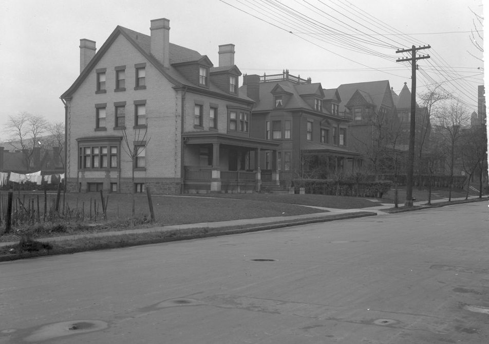
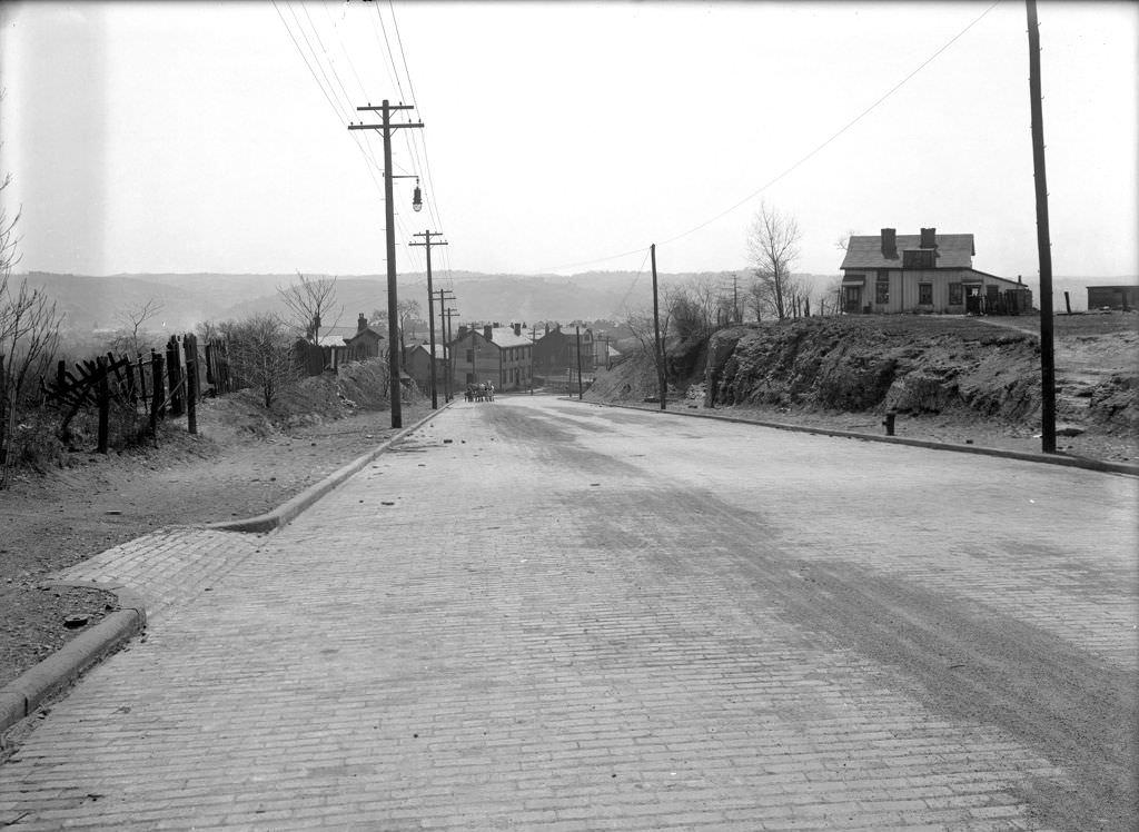
McKee Place near Forbes Avenue sat at the edge of Oakland, close to the University of Pittsburgh and Carnegie Mellon. The properties on its west side in 1920 show the residential character of a street just beginning to feel the pressure of the institutional expansion that would reshape Oakland throughout the decade. Marshall Avenue, photographed again from a different angle toward Irwin Avenue, rounds out the North Side survey work from the same year.
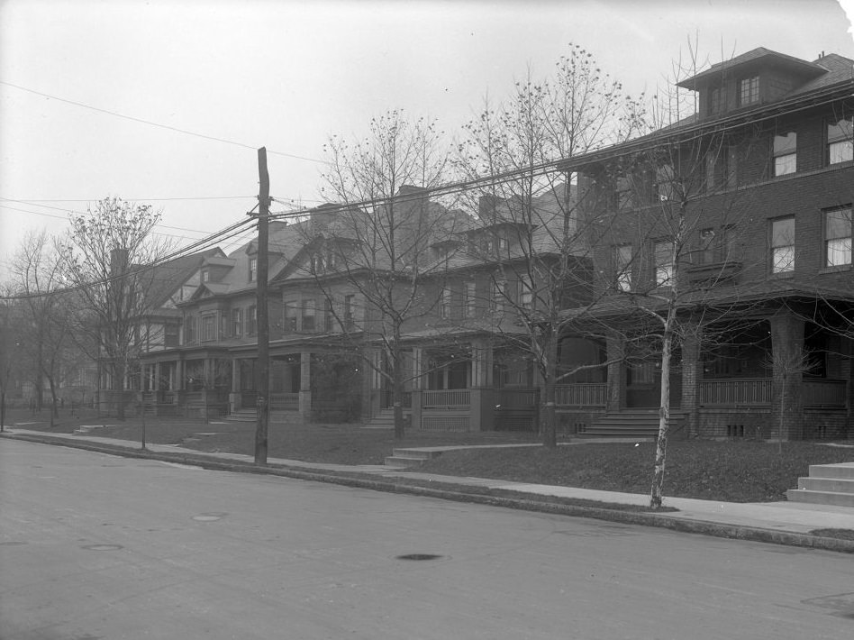
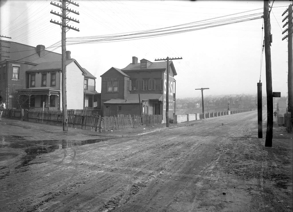
The east side of McKee Place and L. Grande’s house at Larimer and Hooker Streets close out the 1920 survey photographs. Together, these images form a detailed portrait of Pittsburgh at the exact moment the decade began — a city already fully built, already complex, already full of the working-class and immigrant communities whose labor was producing one of the most prosperous industrial economies in the world. The decade ahead would test and reward that city in equal measure.
