
Cornwall sits at the far southwestern tip of England, a peninsula shaped by Atlantic winds, ancient granite cliffs, and a history stretching back to the Paleolithic era. Continuous human settlement in the region goes back roughly 10,000 years. By the 1890s, Cornwall had a population of just over half a million people — along with an estimated 75,000 cattle — and its landscape carried the marks of both natural beauty and industrial change. The photographs in this collection capture that exact moment in time, offering a window into streets, harbors, beaches, and rural corners of Cornwall before the 20th century arrived.
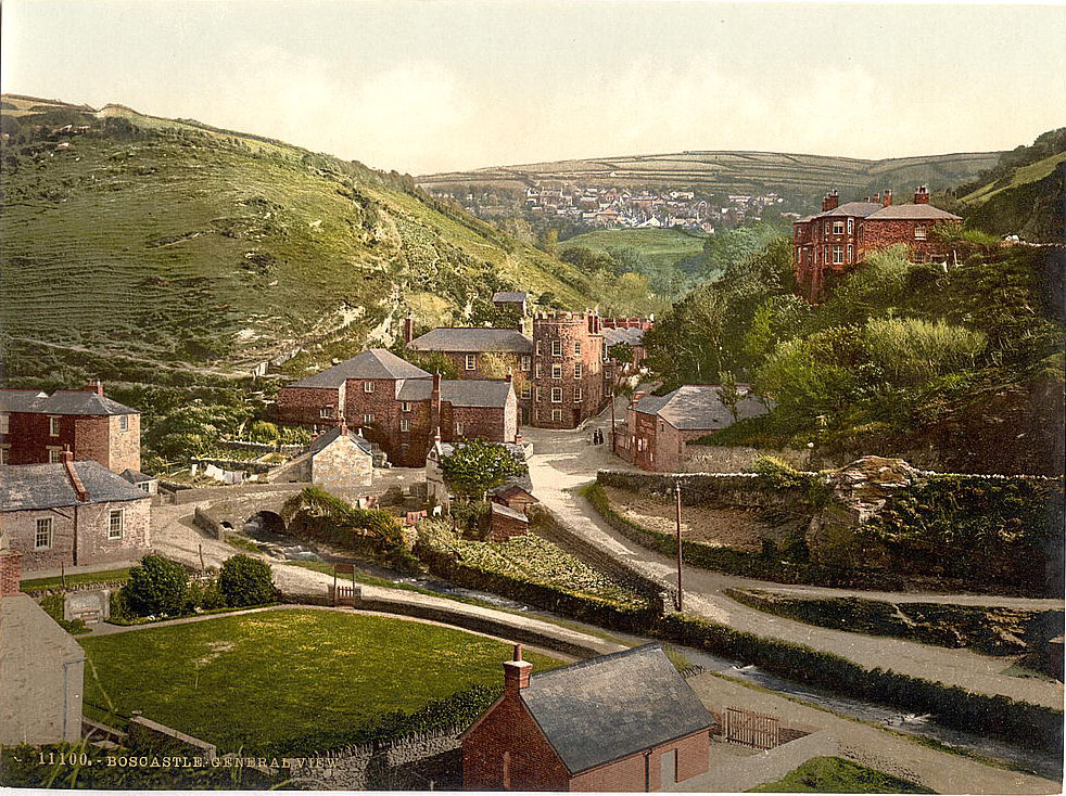
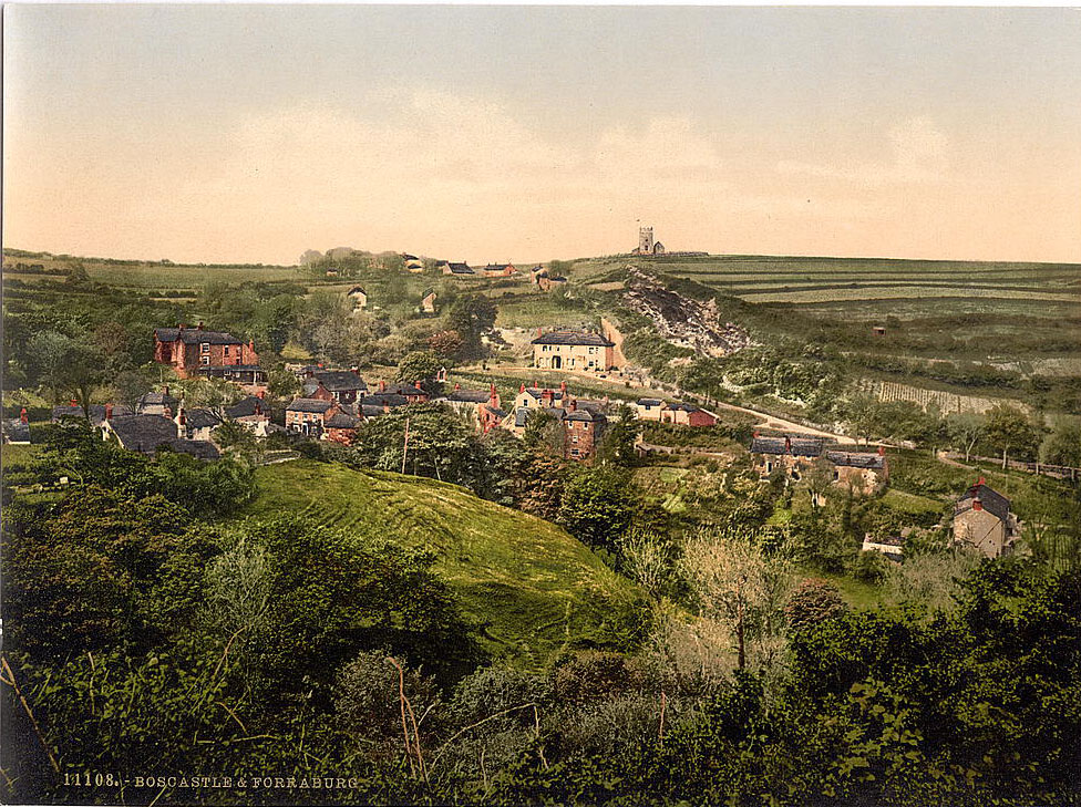
Boscastle was one of Cornwall’s most dramatic coastal settlements. The village sits at the meeting point of three rivers — the Valency, the Jordan, and the Paradise — all draining into a narrow, winding natural harbor. The harbor entrance is so tight and so sheltered by high clifftops that ships entering from the sea had to be hauled in by rope. In the 1890s, Boscastle was still a working port, exporting slate quarried from nearby hills.
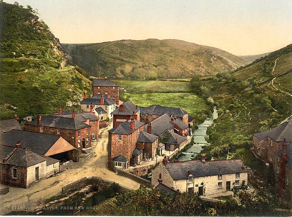
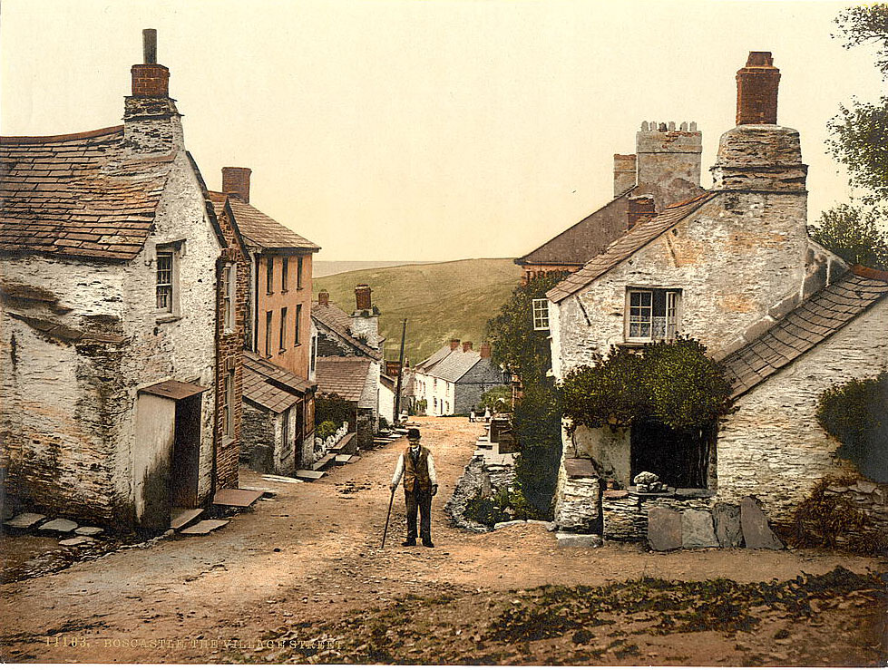
The valley behind Boscastle was densely wooded and cut through by the River Valency. New Road offered a rare elevated view of the village rooftops and the hills beyond. The streets of Boscastle were narrow and steep, lined with stone cottages that had changed little in style for generations.
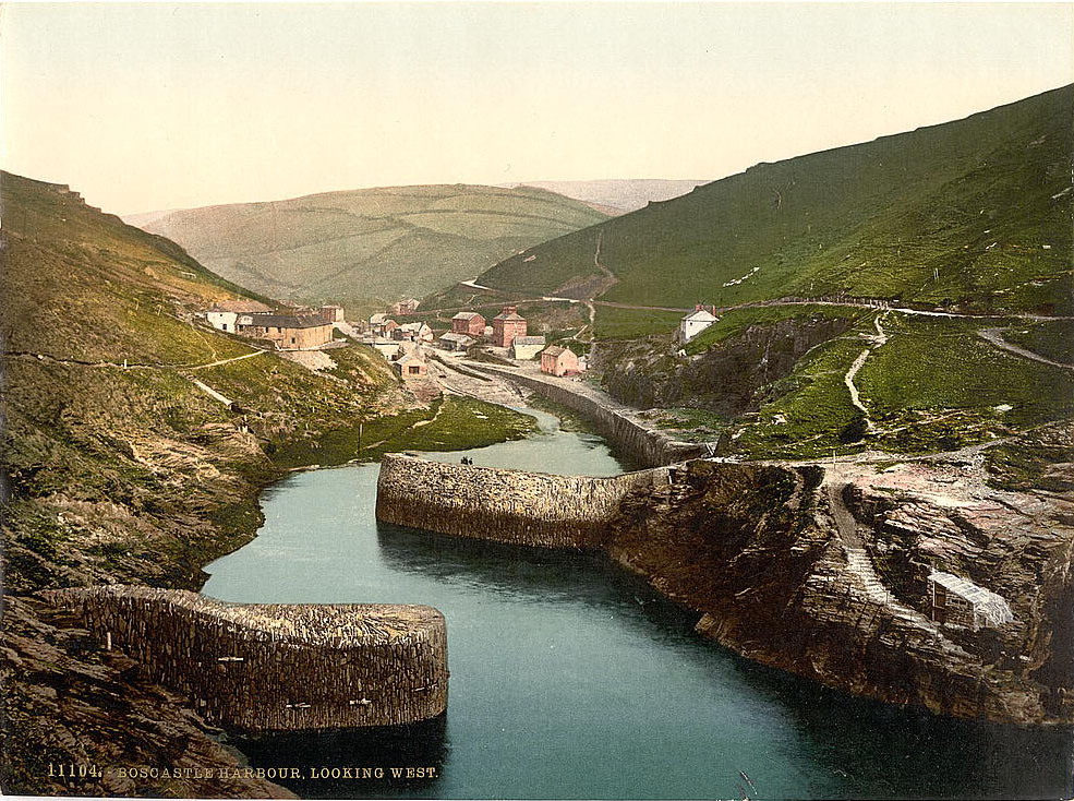
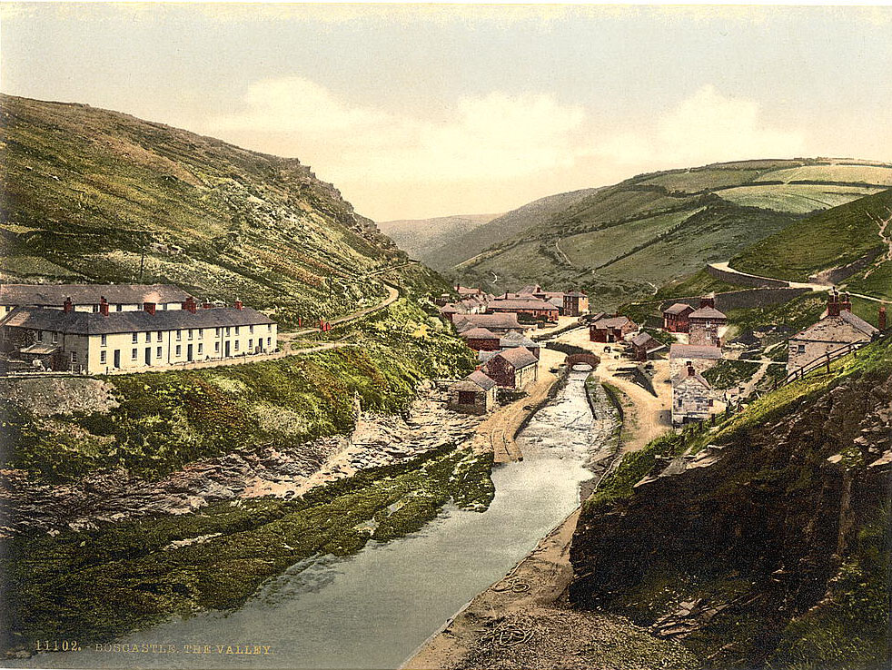
The harbor at Boscastle was the economic backbone of the village. Looking west from the quay, the inlet snakes between tall cliff walls before opening to the sea. The harbor walls, built and reinforced over centuries, protected small trading vessels from the often violent North Cornish surf. The coastguard station perched above the cliffs kept watch over one of the most treacherous stretches of coastline in England.
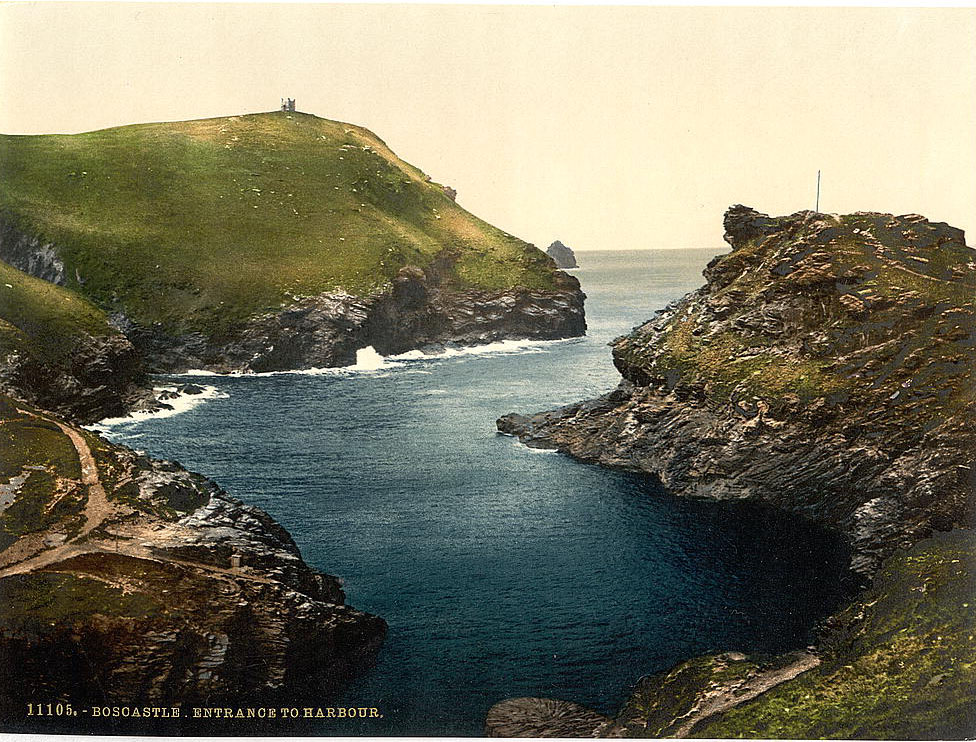
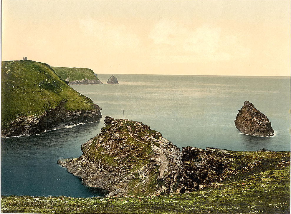
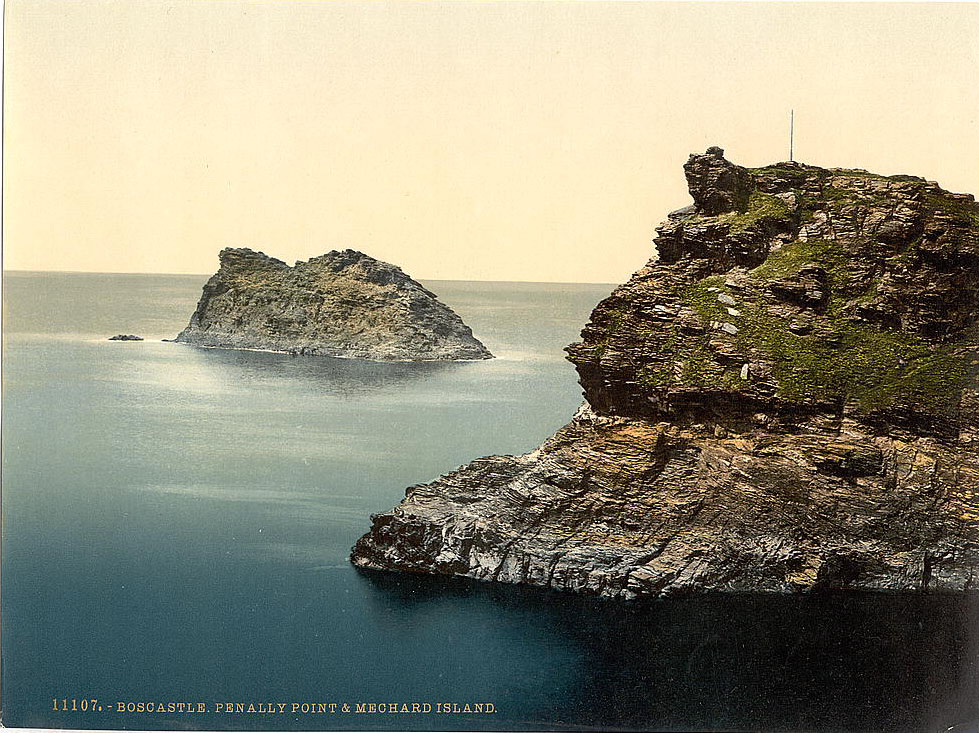
Penally Hill and Meachard Island mark the outer edges of the Boscastle coastline. The headlands here are raw and windswept, dropping sharply to the sea below. The nearby parishes of Forrabury and Minster were ancient communities just inland from the harbor, their medieval churches still standing firm against Atlantic weather.
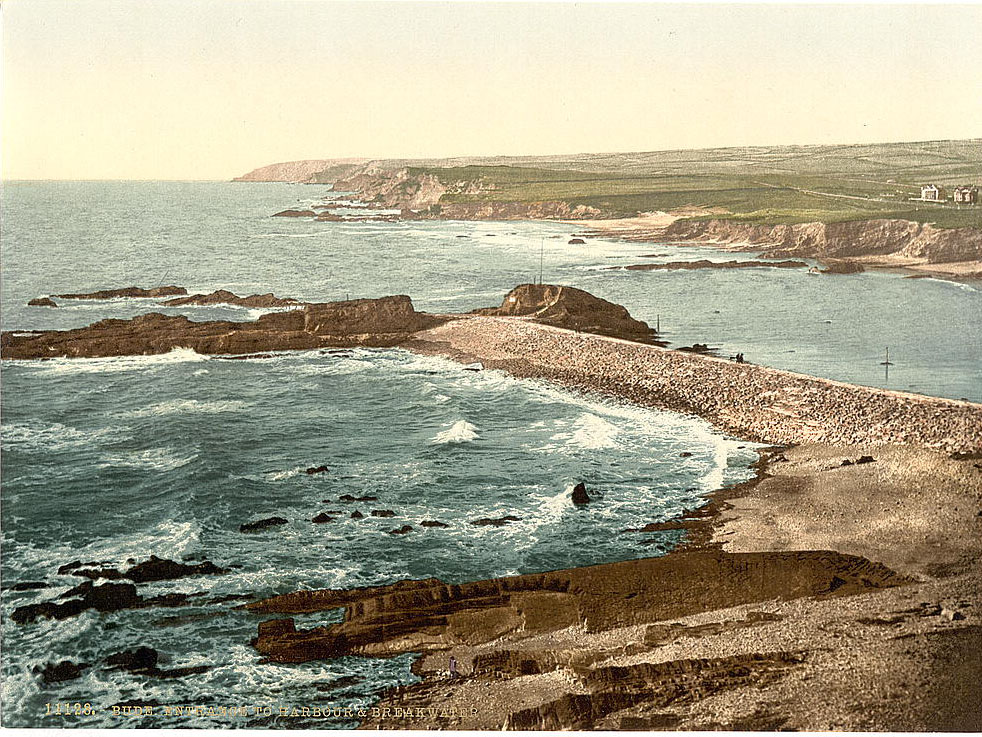
Moving up the coast from Boscastle, Bude was a different kind of coastal town — flatter, broader, and built around a man-made canal. The Bude Canal, completed in 1825, ran inland to carry sea sand used as fertilizer on local farmland. By the 1890s, the canal was in decline as a commercial route, but Bude itself was growing as a seaside destination. Compass Point, an octagonal storm tower built to guide ships, stood at the top of the cliffs overlooking the town.
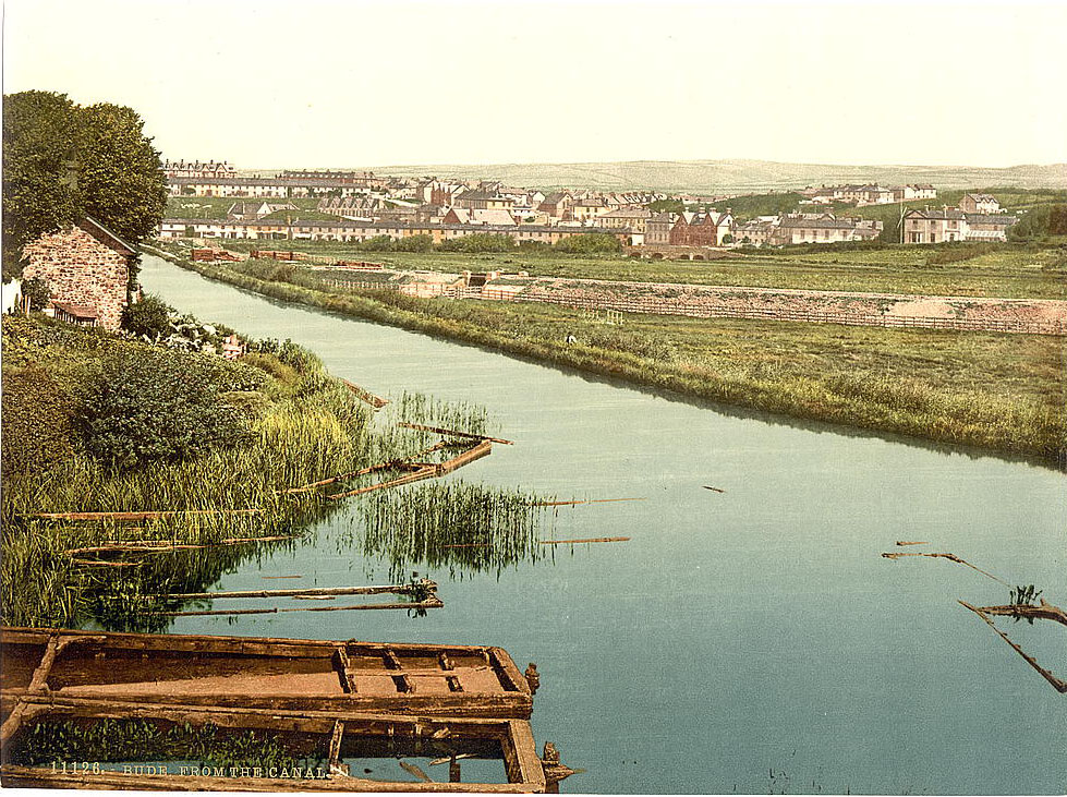
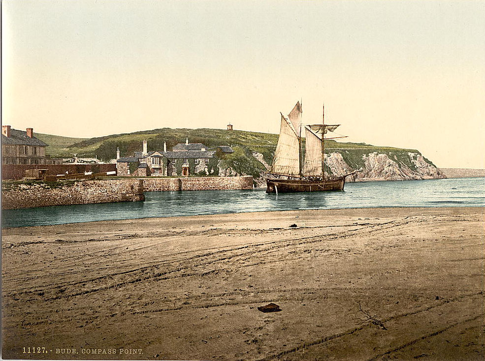
Bude’s harbor and breakwater protected boats entering from the open Atlantic. The canal lock controlled water levels between the sea and the inland waterway. Nearby, Bude’s castle — actually a large private house built in 1830 by the inventor Sir Goldsworthy Gurney — sat beside the local church, both landmarks visible from much of the town.
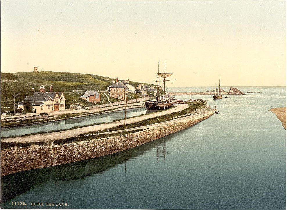
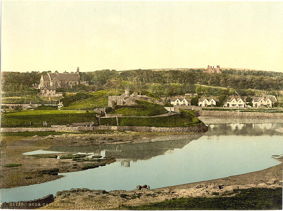
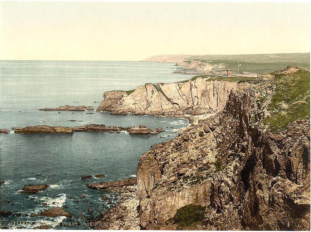
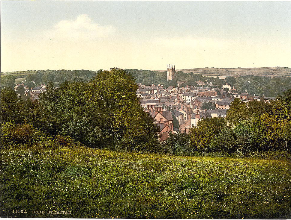
Stratton, just inland from Bude, was a small market town with a history stretching back to the Norman period. It was the site of the Battle of Stratton in 1643 during the English Civil War, where Royalist forces defeated a Parliamentary army on the hilltop above the town. By the 1890s it was a quiet agricultural community, largely unchanged by the industrialization happening elsewhere in Cornwall.
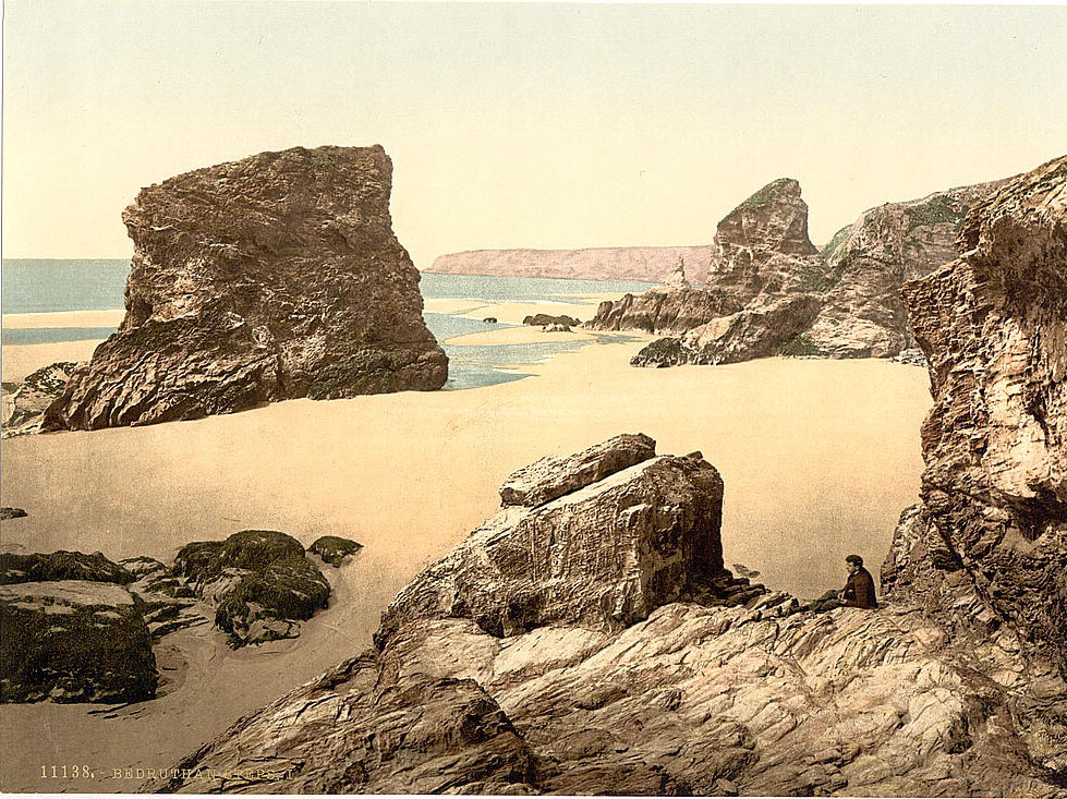
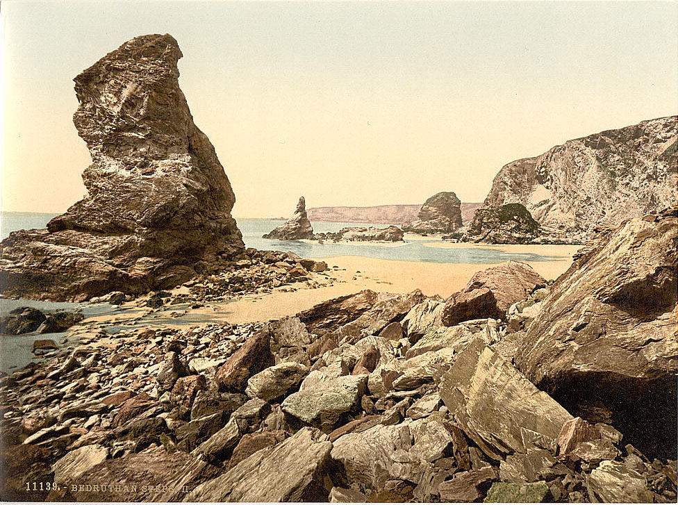
South along the coast, the Bedruthan Steps are one of Cornwall’s most striking natural features. The Steps are a series of giant rock stacks rising from the sand of a long beach below the cliffs at Carnewas. Local legend long held that a giant named Bedruthan used the rocks as stepping stones across the beach, though the name’s true origin is uncertain. In the 1890s, access to the beach required a steep cliff path, making it a dramatic excursion for visitors.
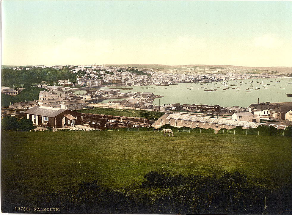
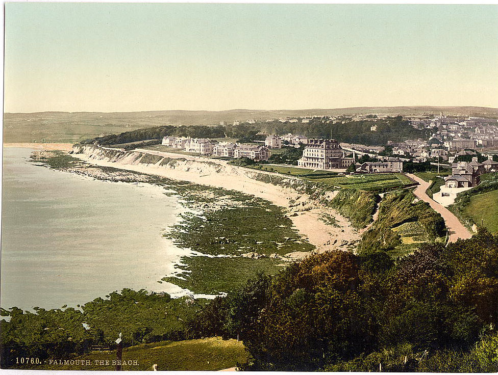
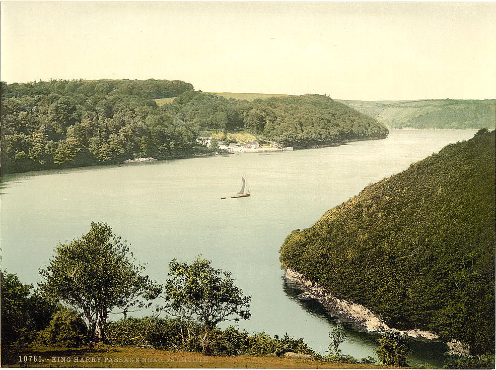
Falmouth, on the southern coast, was one of Cornwall’s most important port towns. Its deep natural harbor — one of the deepest in the world — made it a key stop for packet ships carrying mail across the Atlantic from the 17th century onward. By the 1890s, Falmouth was both a commercial port and a town beginning to draw leisure visitors to its mild climate and sheltered beaches. The King Harry Passage, a ferry crossing over the River Fal just upriver from Falmouth, provided a vital shortcut across the Fal estuary.
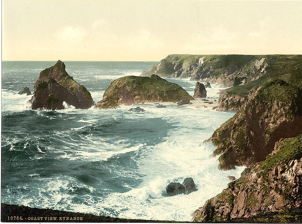
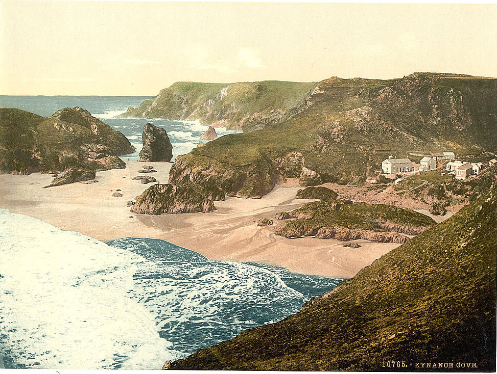
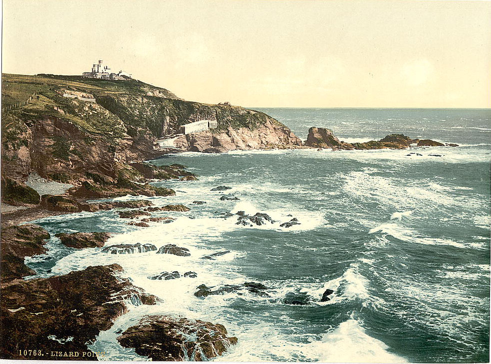
Kynance Cove, on the Lizard Peninsula, was already famous by the 1890s for its intensely colored serpentine rock — deep reds, greens, and blacks — which contrasted sharply with white sand and turquoise water. The Lizard Peninsula is the southernmost point of mainland Britain, and Lizard Point itself faces the full force of weather coming in off the English Channel and the Atlantic. The coast here was, and still is, one of the most shipwreck-prone in Britain.
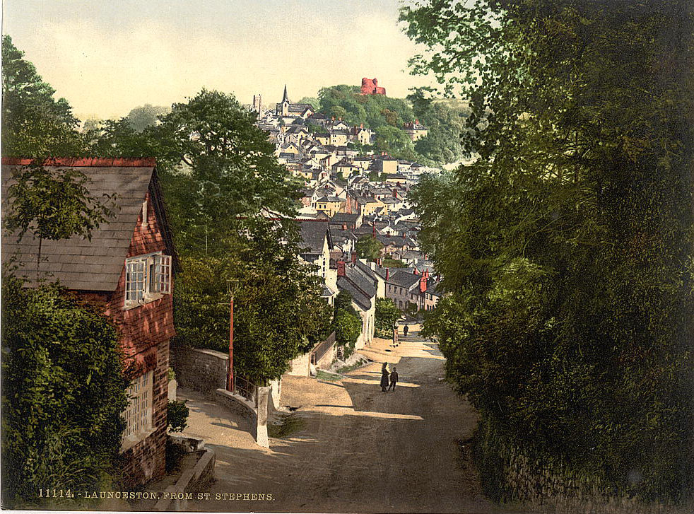
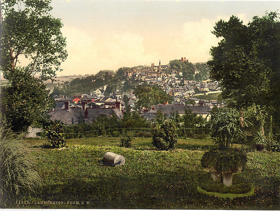
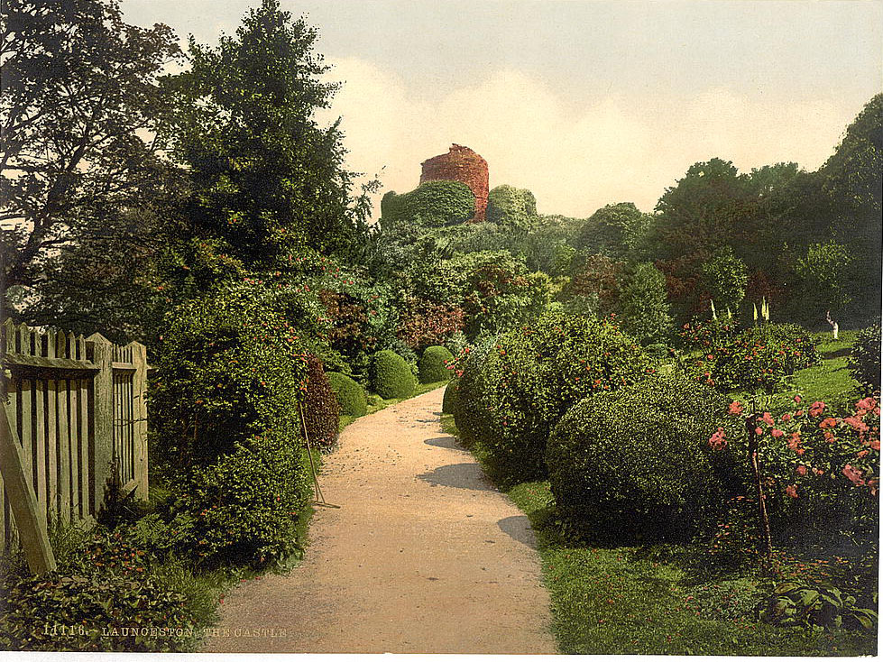
Launceston, in the northeast of Cornwall near the border with Devon, was the county’s former capital and still carried that historical weight in the 1890s. Its Norman castle, perched on a steep mound above the town, had been a seat of power since the 11th century. The town’s narrow streets and stone buildings reflected centuries of market-town life. St. Stephen’s by Launceston was the rural parish just beyond the town boundary, its church and farmland photographed as a record of the quieter countryside surrounding the urban center.
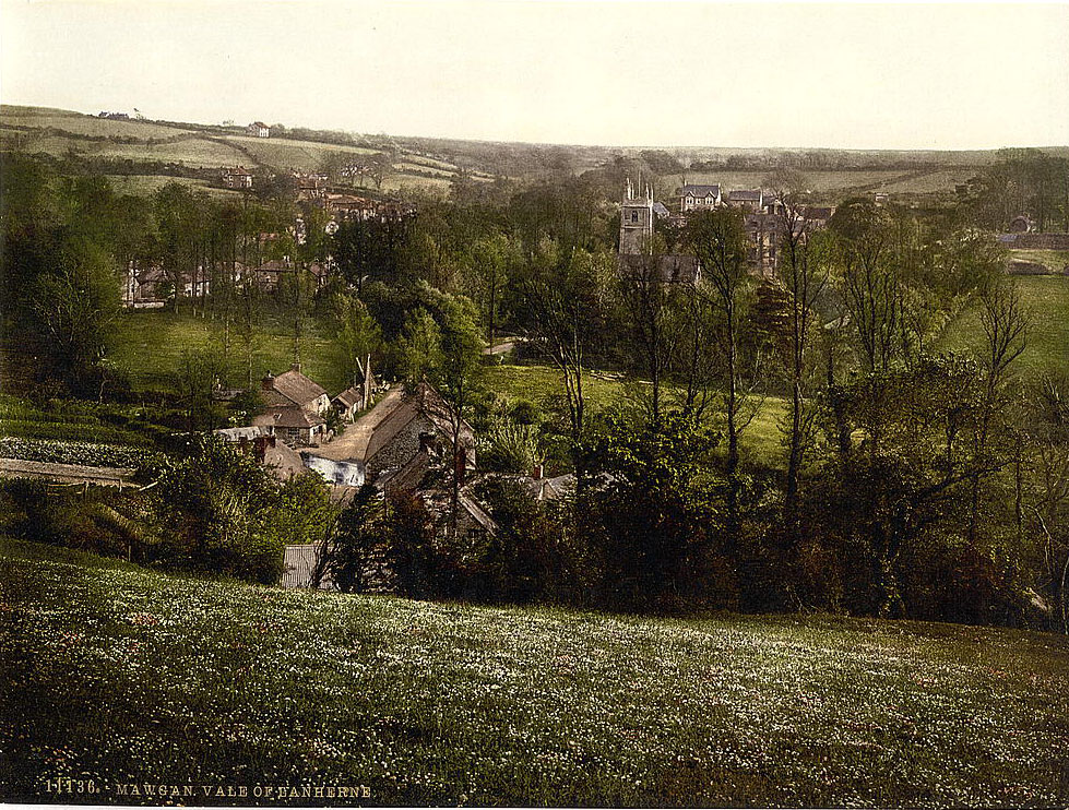
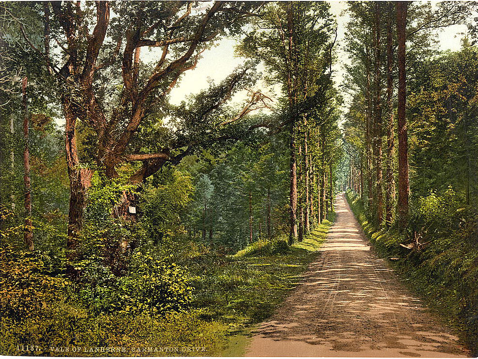
St. Mawgan, in the Vale of Lanherne, was a secluded inland village centered around Lanherne House — a Carmelite convent since 1794. The vale itself was a lush, sheltered valley running down to the sea near Mawgan Porth, and the Carmanton Drive through it offered one of the most scenic routes in mid-Cornwall. The village church of St. Mawgan was medieval, its churchyard shaded by ancient yew trees.
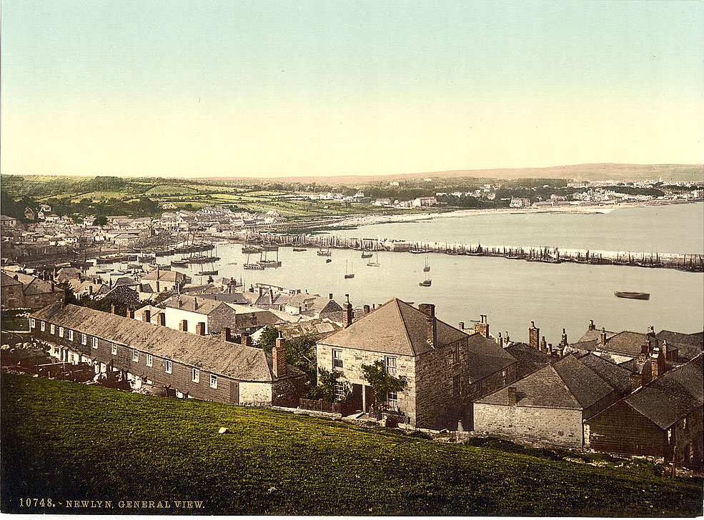
Newlyn, immediately south of Penzance, was a working fishing village with one of the largest fishing fleets in Cornwall. By the 1890s it was also the home of the Newlyn School of artists — painters who had come specifically for the quality of light and the authentic fishing-village subject matter. The harbor was busy with pilchard fishing boats, and the streets smelled of salt, fish, and tar.
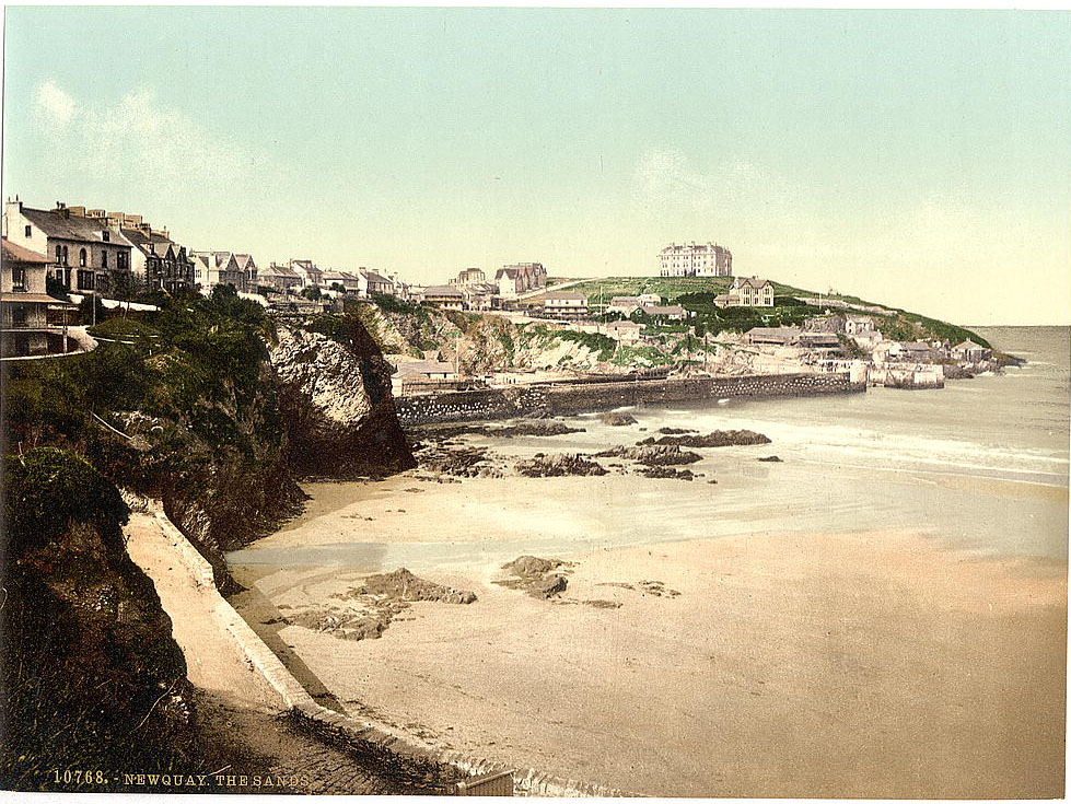
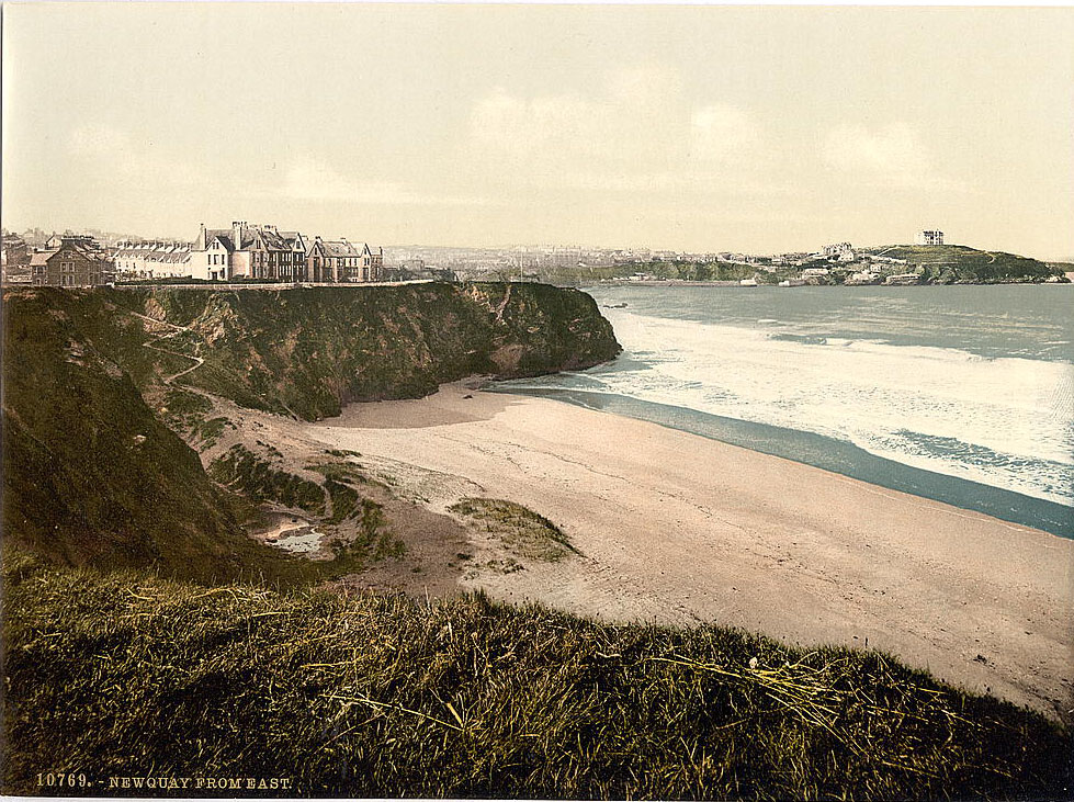
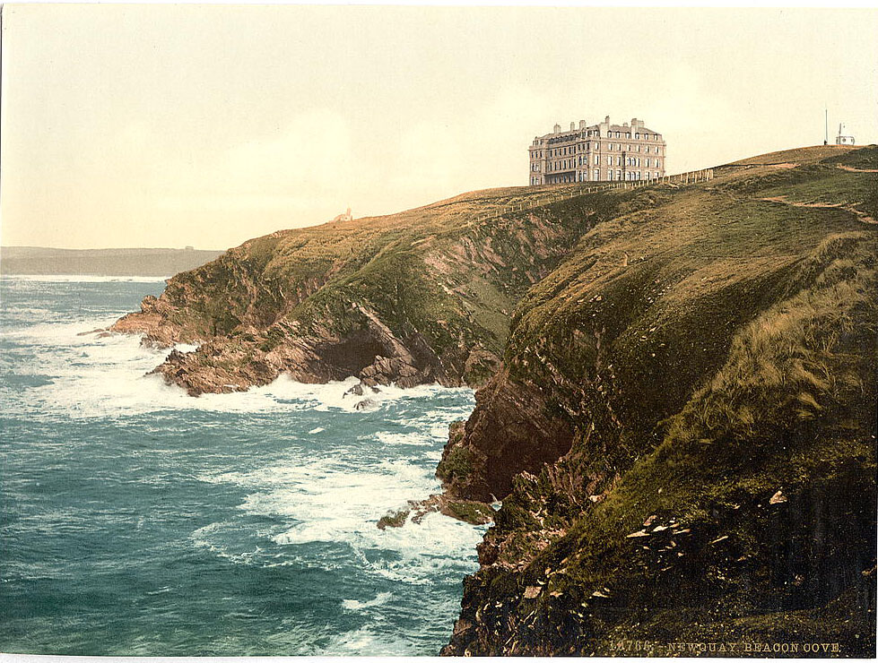
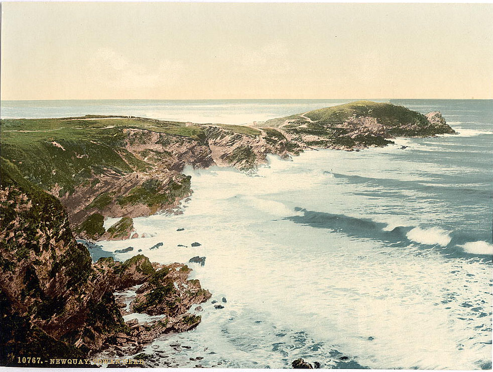
Newquay, on the north coast, was in the process of transforming from a small pilchard-fishing port into a popular resort town. The arrival of the railway in 1876 made it accessible to visitors from across England. Its beaches — long, sandy, and open to Atlantic swells — made it an obvious destination. Towan Head and Beacon Cove were among the defining coastal features visible from the town, and the Sands area along the seafront was already a focus of visitor activity.
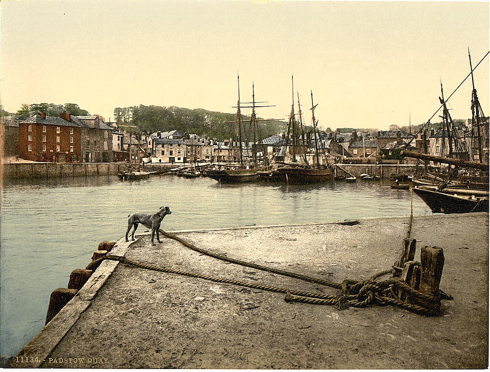
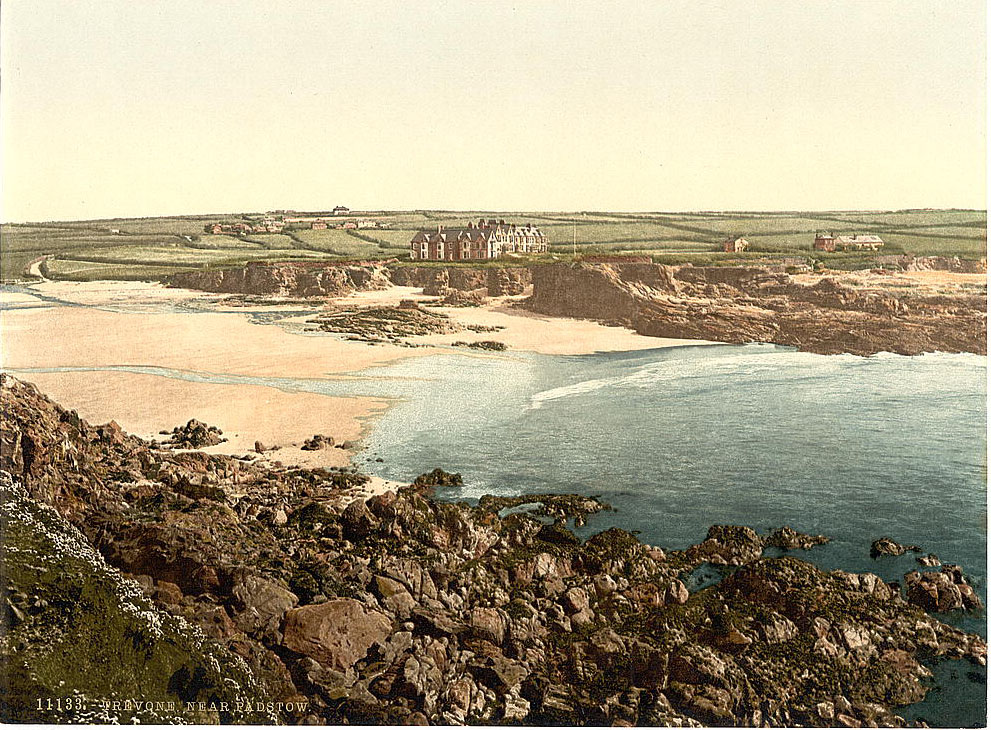
Padstow, on the Camel Estuary, was a busy fishing and trading harbor in the 1890s. Its quayside was stacked with lobster pots, nets, and the gear of working boats. The town’s narrow lanes climbed steeply from the waterfront. Just south of Padstow, the small cove of Trevone offered a quieter stretch of coast with a sheltered beach tucked between headlands.
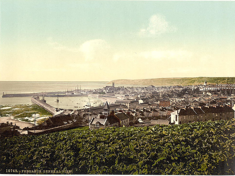
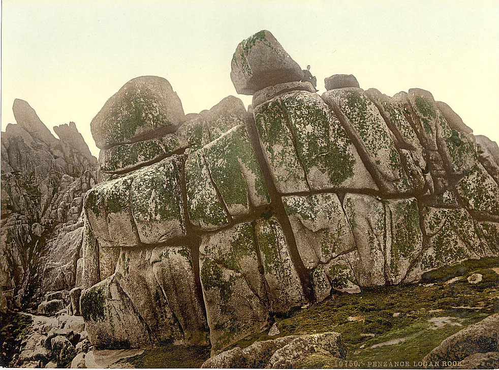
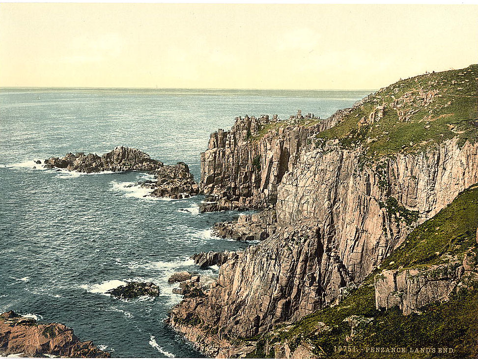
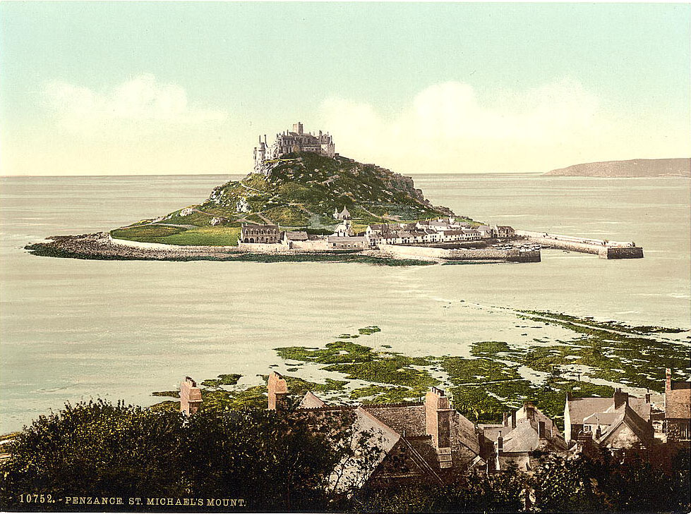
Penzance was the westernmost major town in England, a market town and port facing Mount’s Bay. Its position made it an important hub for trade with the Isles of Scilly and with ships passing through the English Channel. The Logan Rock near Penzance — a 70-ton granite boulder that once rocked when pushed — had been a tourist attraction since the 18th century. In 1824, a Royal Navy lieutenant named Goldsmith had it toppled to prove it was moveable; he was ordered to replace it at his own expense, which cost him over £100. Saint Michael’s Mount, a tidal island just off the coast near Penzance, was one of Cornwall’s most distinctive landmarks, its medieval castle and priory rising from a rocky island connected to the mainland by a causeway at low tide.
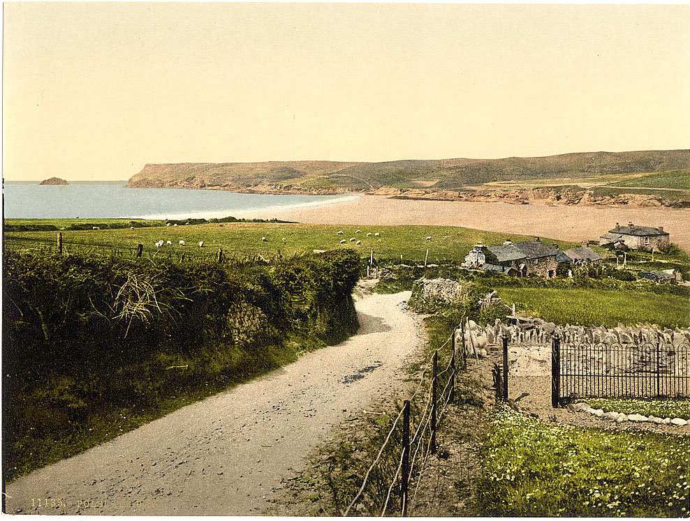
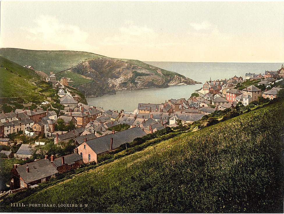
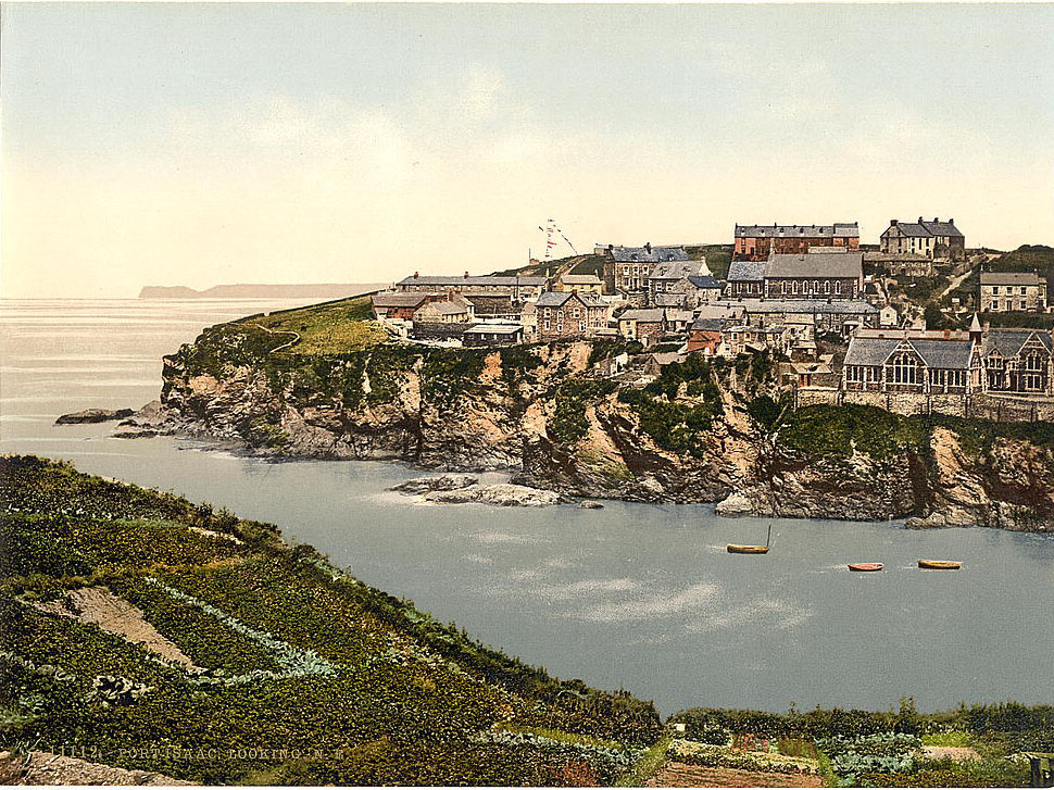
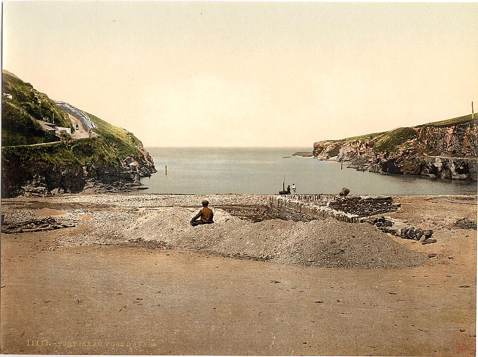
Polseath, on the north coast near the mouth of the Camel Estuary, was a small, quiet beach in the 1890s. Its sheltered position made it popular for bathing, though it remained far less developed than Newquay or Bude. Port Isaac, a few miles east along the same coastline, was a working fishing village built into a steep-sided combe running down to a small harbor. Its lanes were so narrow that two people with heavy loads could barely pass each other. Port Gaverne, just around the headland from Port Isaac, was used for landing and storing pilchards and for shipping out slate from nearby quarries.
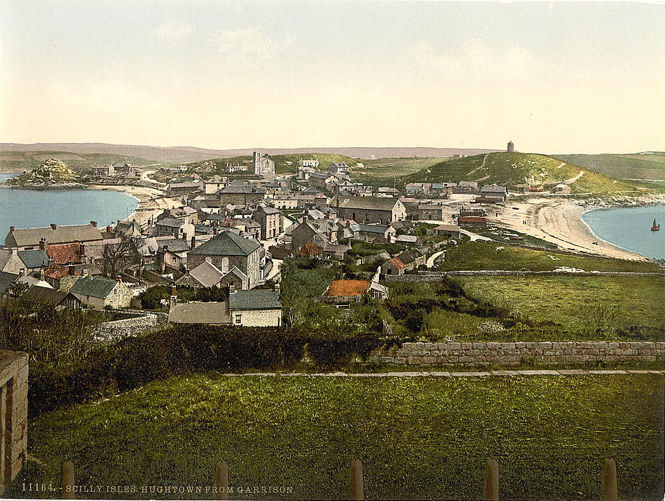
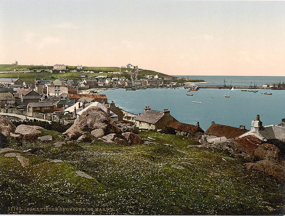
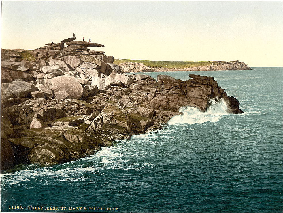
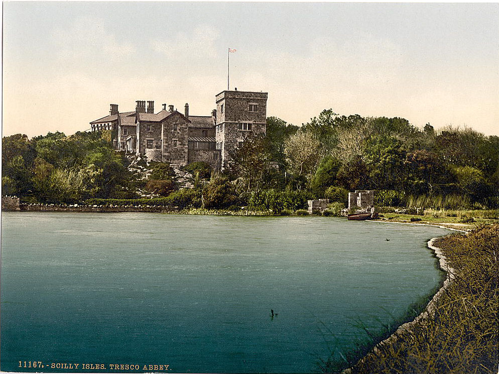
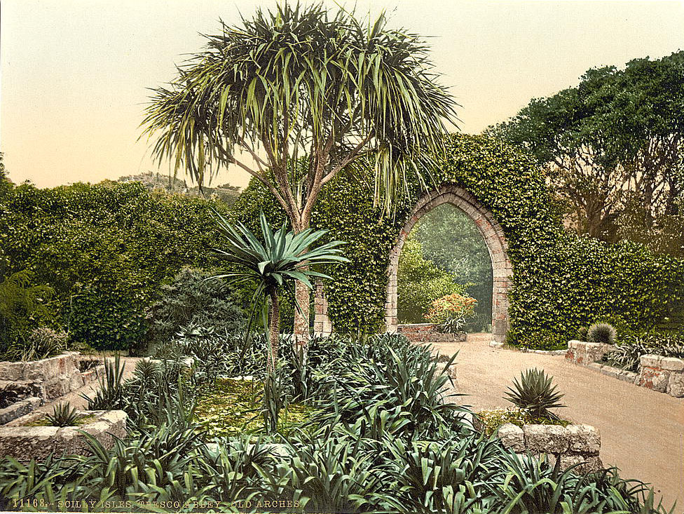
The Isles of Scilly lie 28 miles southwest of Land’s End, an archipelago of around 140 islands, though only five were inhabited in the 1890s. Hugh Town on St. Mary’s was the main settlement, its modest streets and harbor serving as the administrative and commercial center for the whole group. Pulpit Rock on St. Mary’s was a well-known coastal feature, and Tresco Abbey — the ruined 10th-century Benedictine priory on Tresco — stood at the center of the island that also held the famous Abbey Gardens, developed by the Dorrien-Smith family from the 1830s onward.
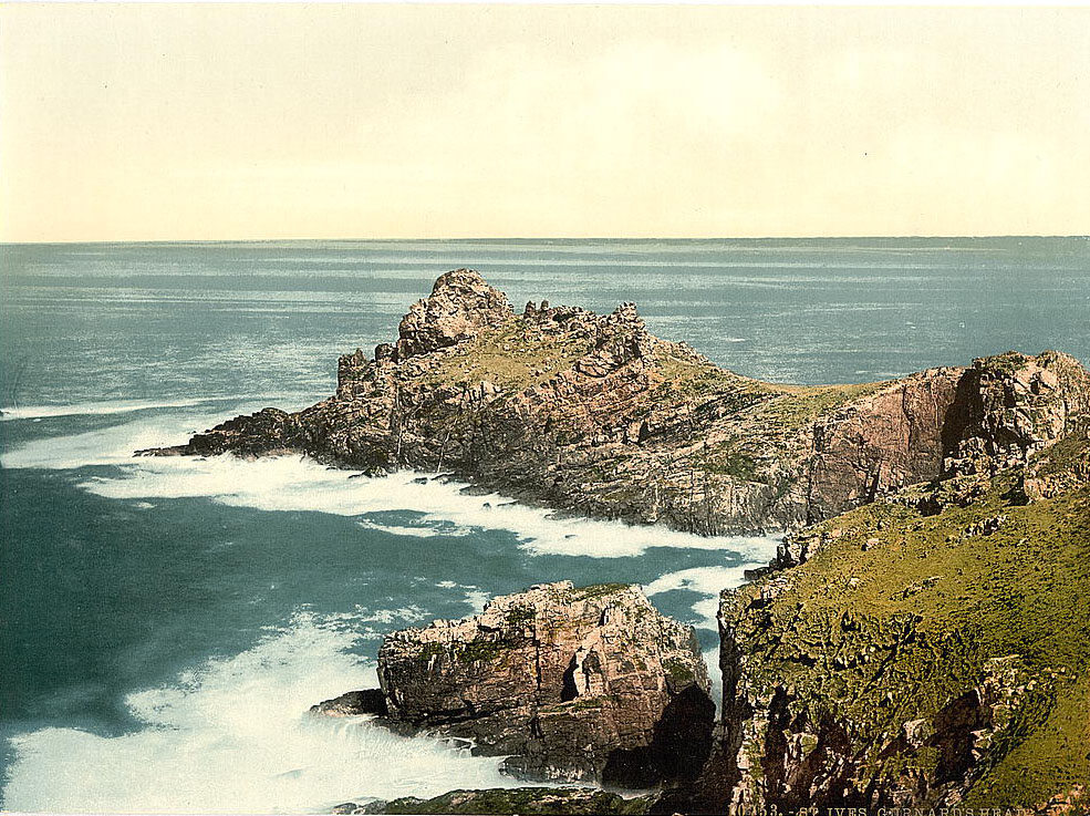
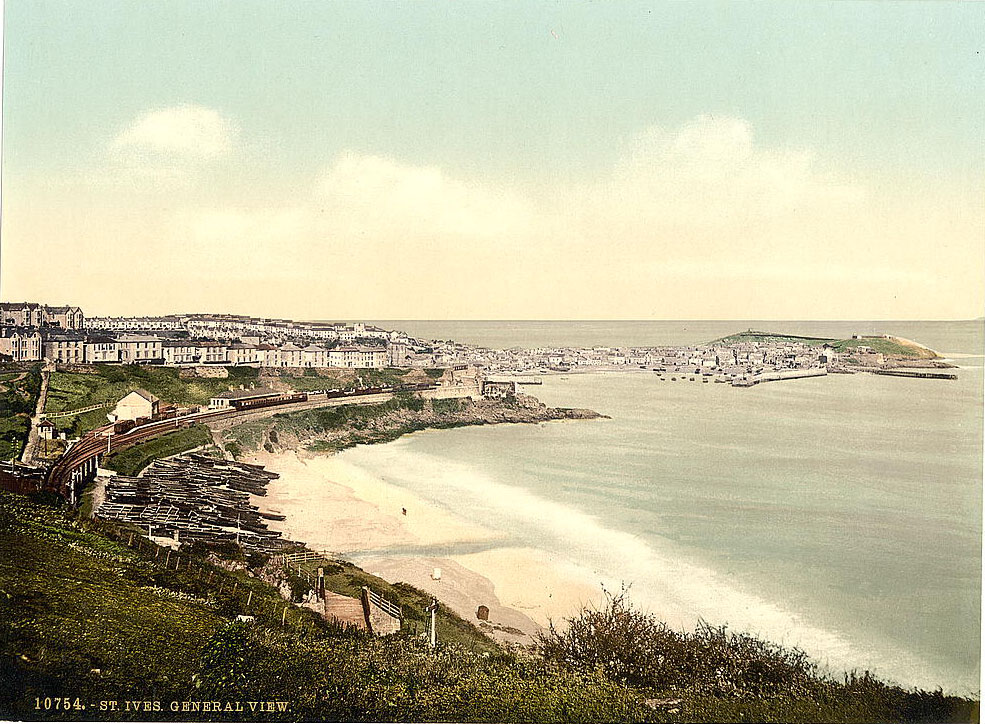
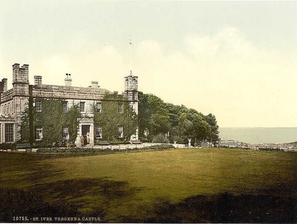
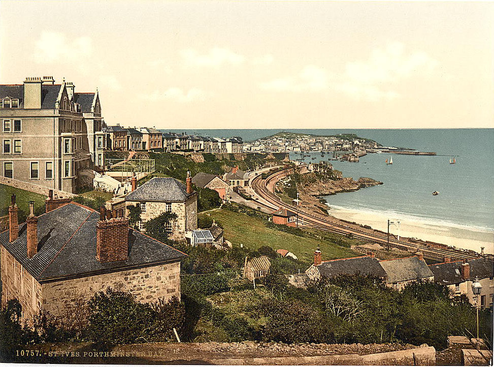
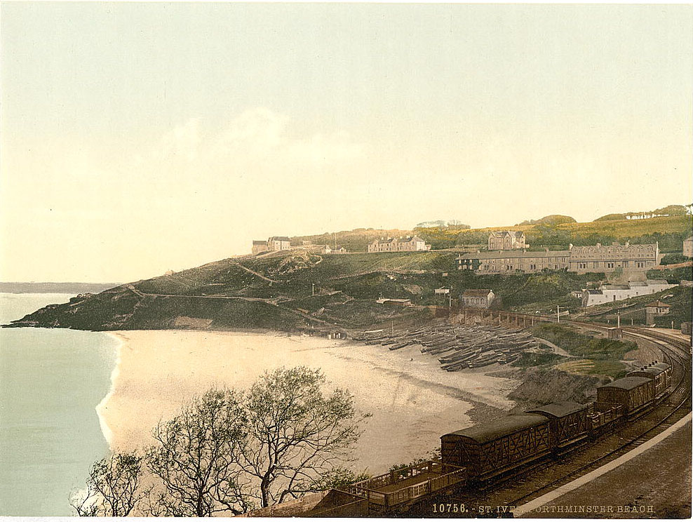
St. Ives, on the north side of the Penwith Peninsula, combined a working fishing harbor with the beginnings of an artists’ colony that would grow significantly in the decades ahead. Gurnard’s Head — a dramatic headland northwest of the town — was a popular subject for painters. Tregenna Castle, a castellated country house above the town, had been converted into a hotel by the 1890s, and Porthminster Beach below it offered a sandy beach facing south, sheltered from the prevailing north winds.
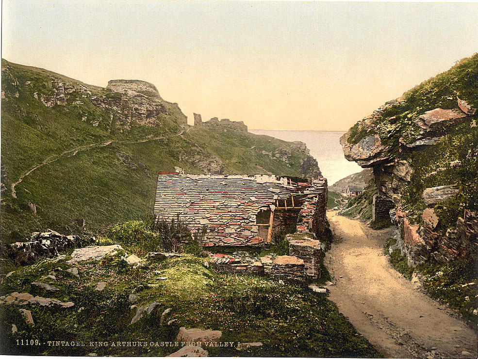
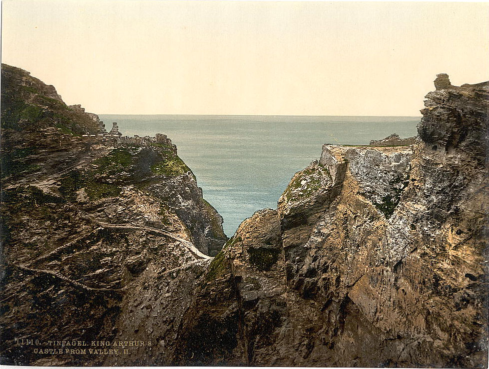
Tintagel, on the north Cornish coast, was famous across Britain as the legendary birthplace of King Arthur, though the historical evidence linking him to the site is thin. The castle ruins at Tintagel Head, sitting on a promontory almost entirely cut off from the mainland by erosion, were actually the remains of a 13th-century English castle built by Richard, Earl of Cornwall. The site had, however, been occupied since at least the 5th and 6th centuries, and imported Mediterranean pottery found there pointed to it being a high-status settlement in the post-Roman period.
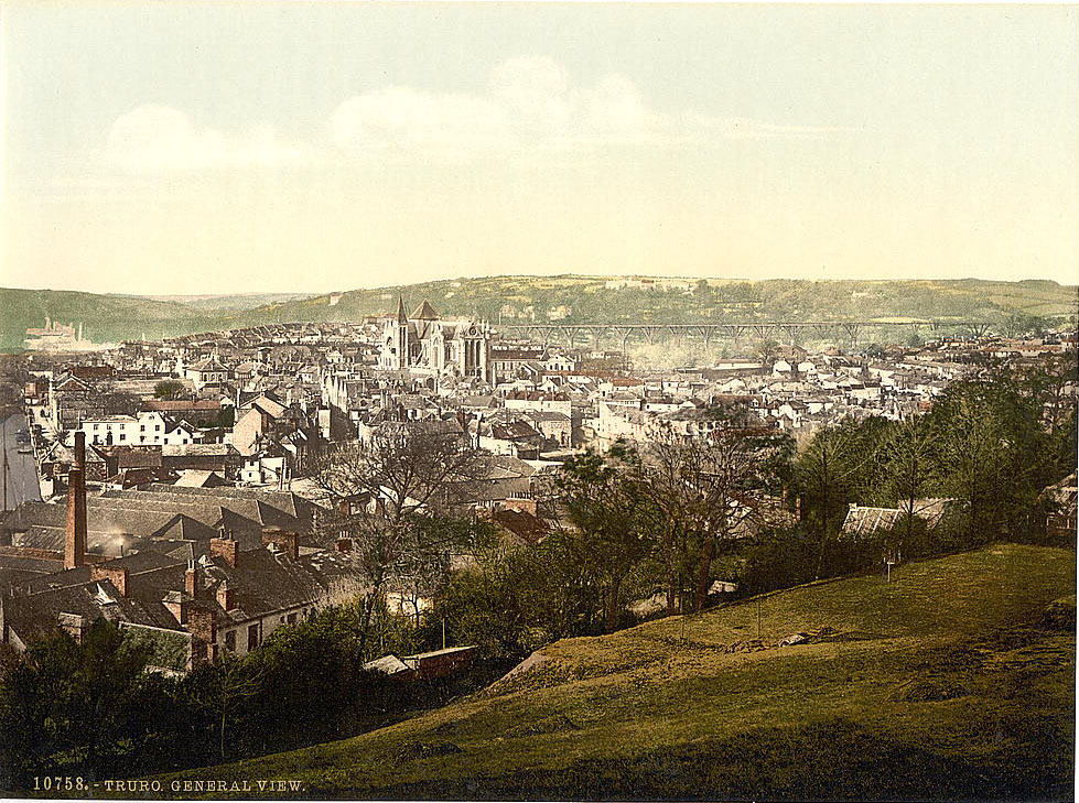
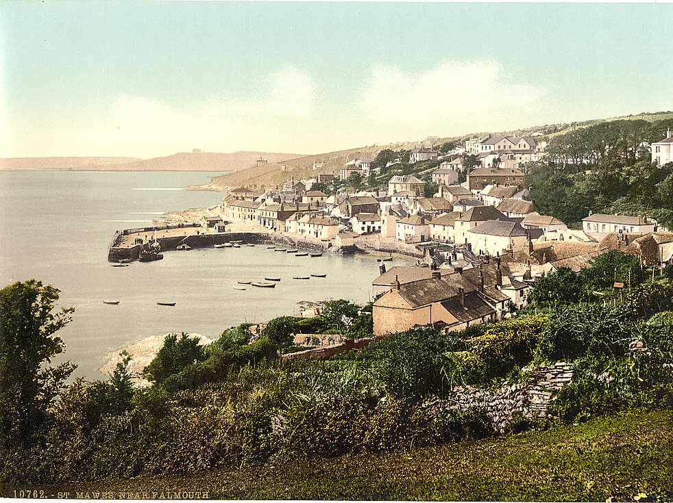
Truro, sitting at the head of the Truro River, was Cornwall’s main city and its commercial and administrative center. Truro Cathedral was under construction during the 1890s — it was the first cathedral built in England since St. Paul’s in the 17th century, with its foundation stone laid in 1880. St. Mawes, across the Fal estuary from Falmouth, was a small fishing and sailing village sheltered by its 16th-century castle, built by Henry VIII as part of his coastal defense network.
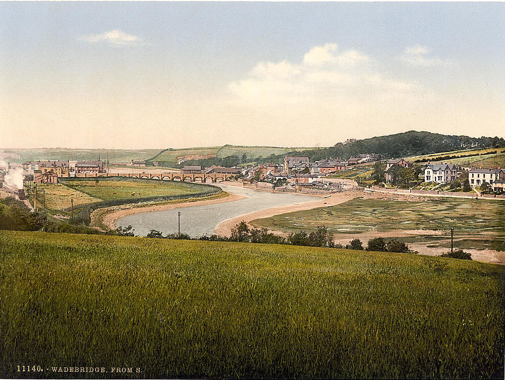
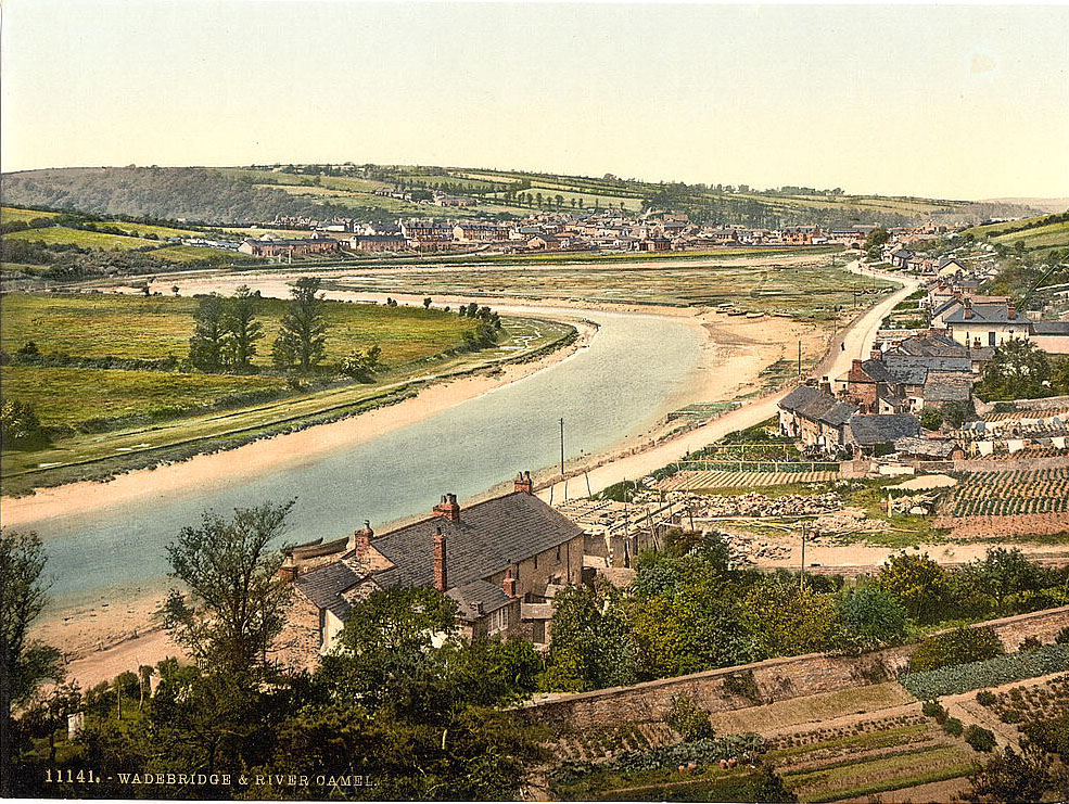
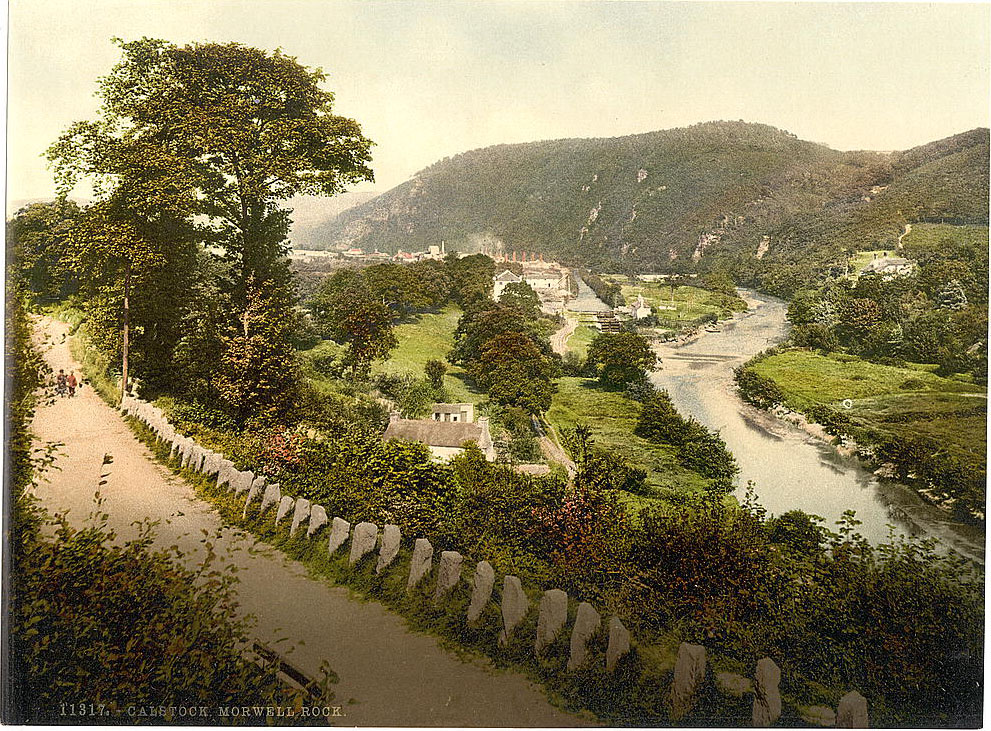
Wadebridge, where the River Camel widens before reaching Padstow and the sea, was a small inland town connected to the estuary by its medieval bridge — one of the longest in Cornwall, with 17 arches, built in the 15th century. The town served as a market center for the surrounding farming district. Calstock, far to the east on the River Tamar forming the border with Devon, was a river port used for shipping copper ore and granite. Morwell Rock above Calstock was a striking natural feature along the wooded Tamar gorge.





The poor colorization is the most obvious sign that these are not recent.
Is port Isaac where Doc Martin was filmed?
Yes, I visited there, and you can recognize the places.
No. He lived in Port Wenn. It just looks amazingly like Port Isaac.
That’s funny because I was in Boscastle around this time last year, looks almost the same.
Except for that witchcraft museum and a bunch of new shops… and folks driving mini coopers.
Apart from Ambrose Pearn’s laundry!
Have they been colourised by AI? The one of the Logan rock made me think so, don’t believe that would have ever had green on it….
I don’t recall that many red brick buildings in Boscastle.
I e seen plenty of these pictures of Boscastle … in Boscastle. Some of the building la have changed in the last 130 years, one or two have disappeared and a lot more have been built, but it definitely is Boscastle.
You were around in 1890?
Is there any reason why the cottages at Kynance Cove are abandoned? Seems crazy in such a location.
Wow at Wadebridge and shot 37 st Michaels Mount is stunning
Cliff road on Falmouth beach looks like it was a bad idea also what happened to all the sand on Falmouth beach?
The one in Newquay isnt where the label says either. That is Towan Beach, nowhere near The Sands Resort, which is in Porth.