
Cornwall in the 1970s was a place that moved at its own pace. Before mass tourism reshaped its towns and before the internet connected it to the rest of the world, this southwestern peninsula held onto a way of life that felt genuinely distinct. Fishing villages, ancient customs, working mines, and wild coastlines defined the county as much as its beaches did. These photographs offer a direct window into that world.
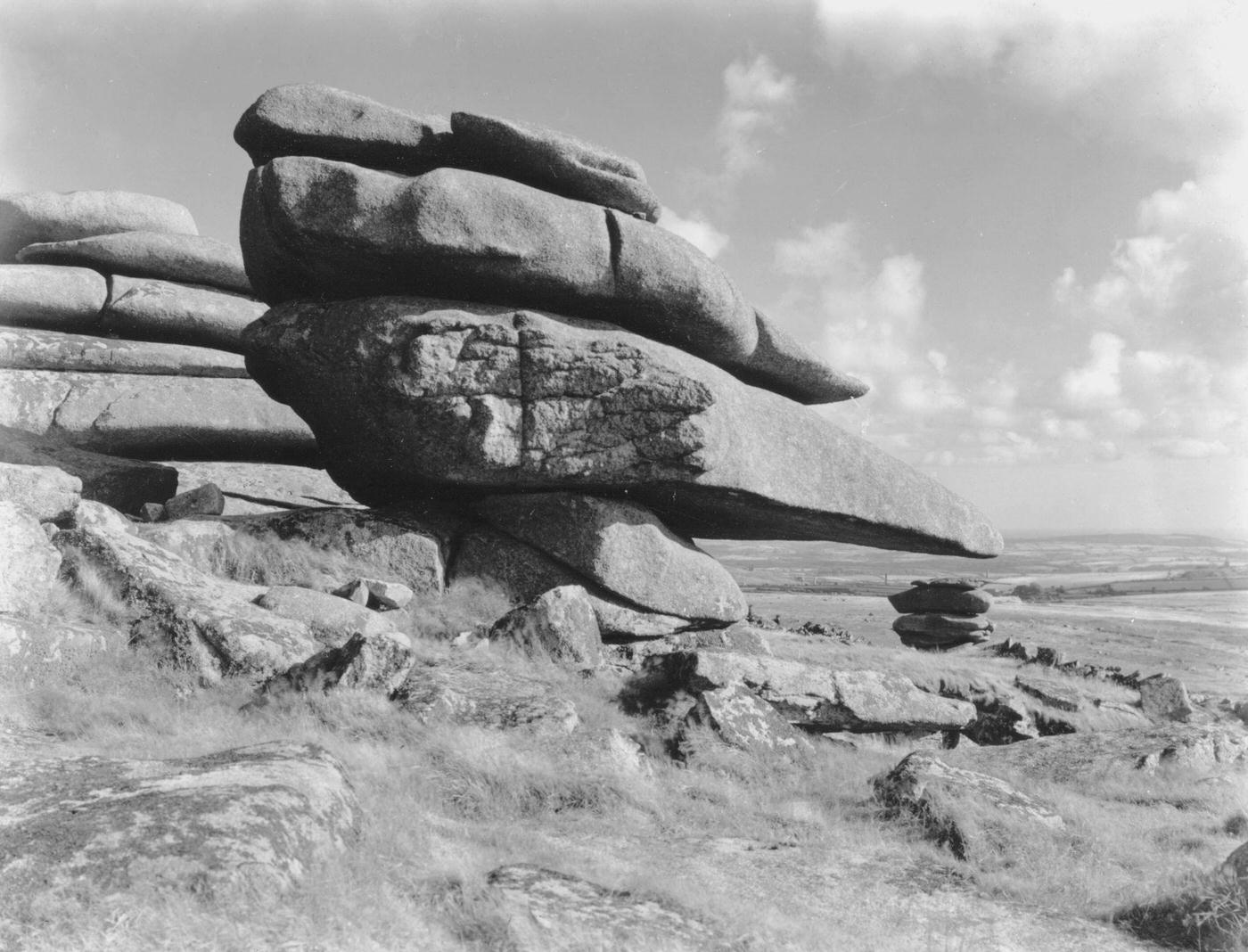
The landscape itself was one of Cornwall’s defining features. Bodmin Moor rose dramatically inland, its granite tors and open heathland standing in sharp contrast to the coastal scenery. The Cheesewring, a naturally formed stack of granite slabs on the moor’s high ground, had drawn visitors for generations. Even in the 1970s, it remained a raw, windswept landmark that felt untouched by time.
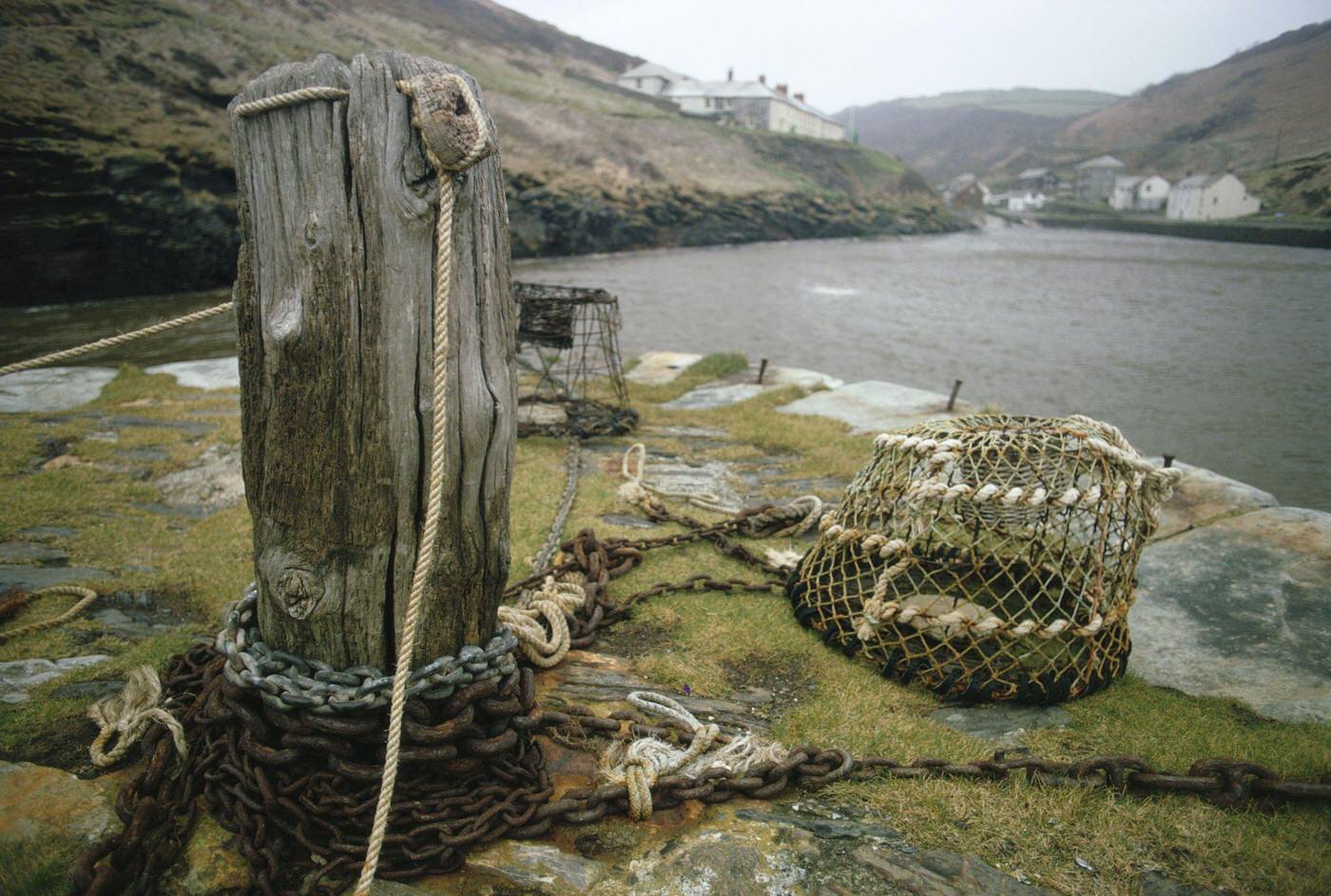
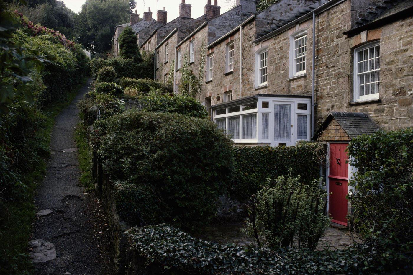
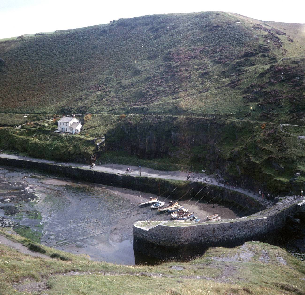
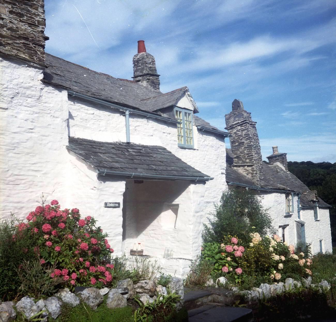
The north coast harbors told a story of hard, practical work. Boscastle’s narrow natural harbor, carved into the cliff by the River Valency, was still a working port in the early 1970s. Mooring chains, lobster pots, and fishing gear lined its walls. Small coastal villages like St Agnes clung to their hillsides, their whitewashed cottages built close together as a defense against Atlantic gales.
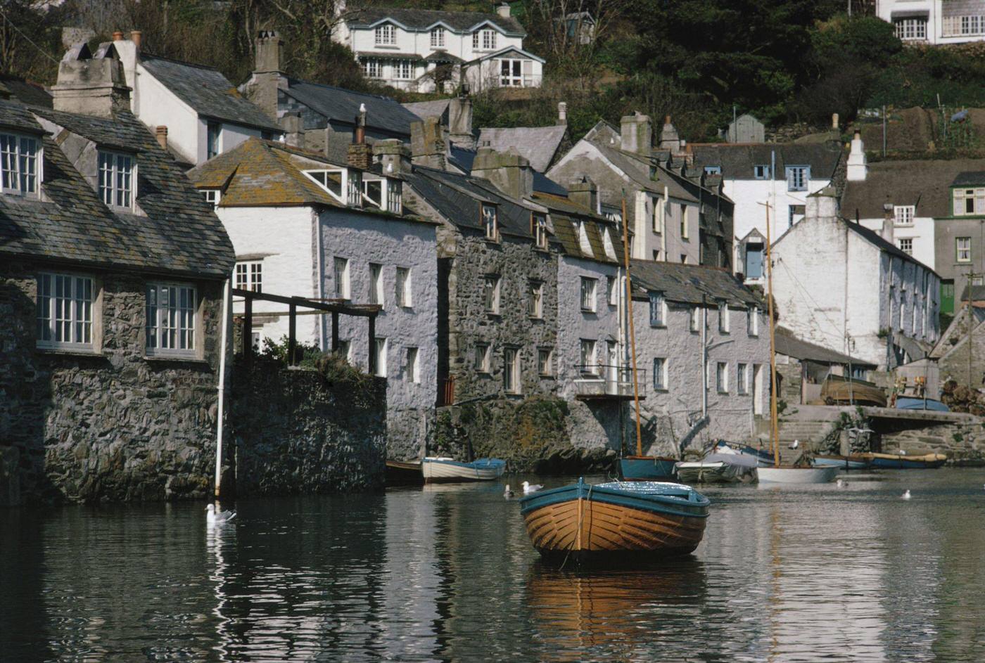
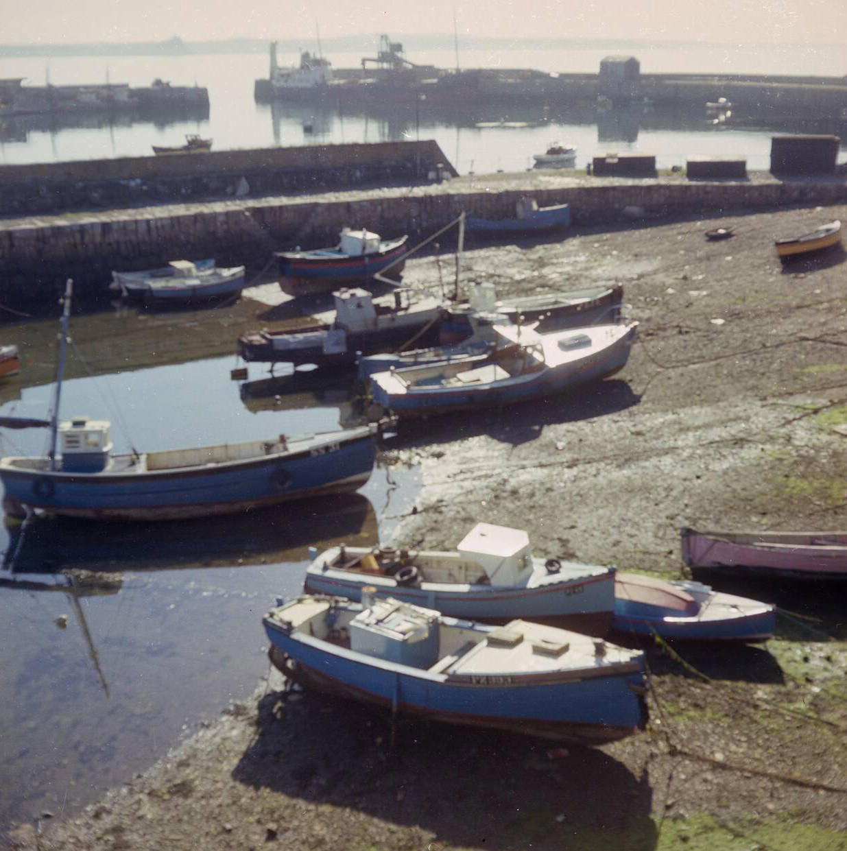
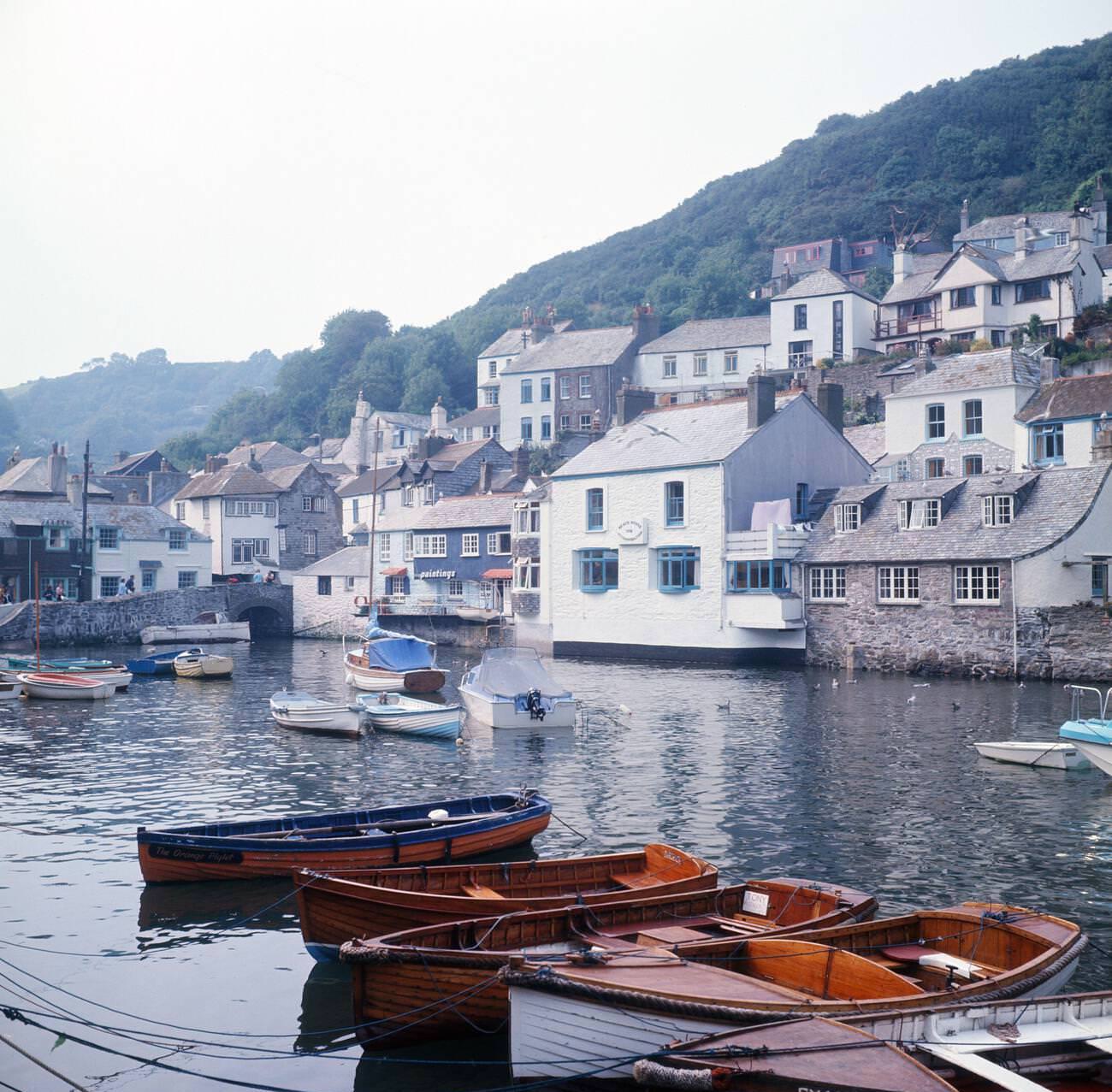
On the south coast, Polperro was one of Cornwall’s most picturesque fishing villages. Its harbor sat at the bottom of a steep, narrow valley, accessible only by a winding lane. Fishing boats moored tightly in the inner harbor, and the smell of salt and fish was constant. The village had changed little since the 19th century, and in 1970 it still operated as a genuine fishing community alongside its growing popularity with visitors.
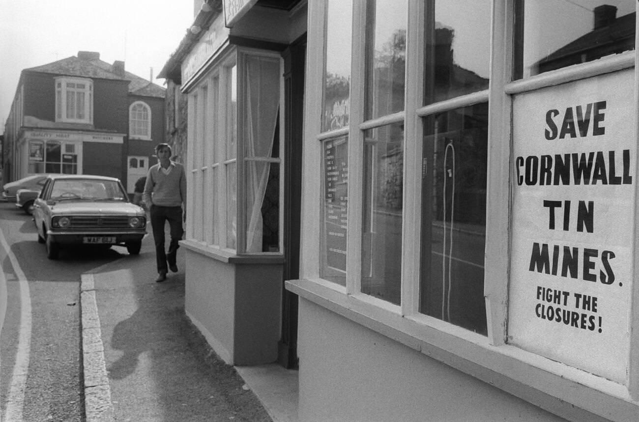
While tourists enjoyed the coastline, the 1970s brought a harsh economic reality to Cornwall’s mining communities. Tin mining had been central to Cornish identity for centuries, but falling global tin prices and rising costs put the industry under severe pressure throughout the decade. By 1978, communities around Chacewater were fighting openly to keep their mines open. These were not abstract economic arguments — they were battles over livelihoods that families had depended on for generations.
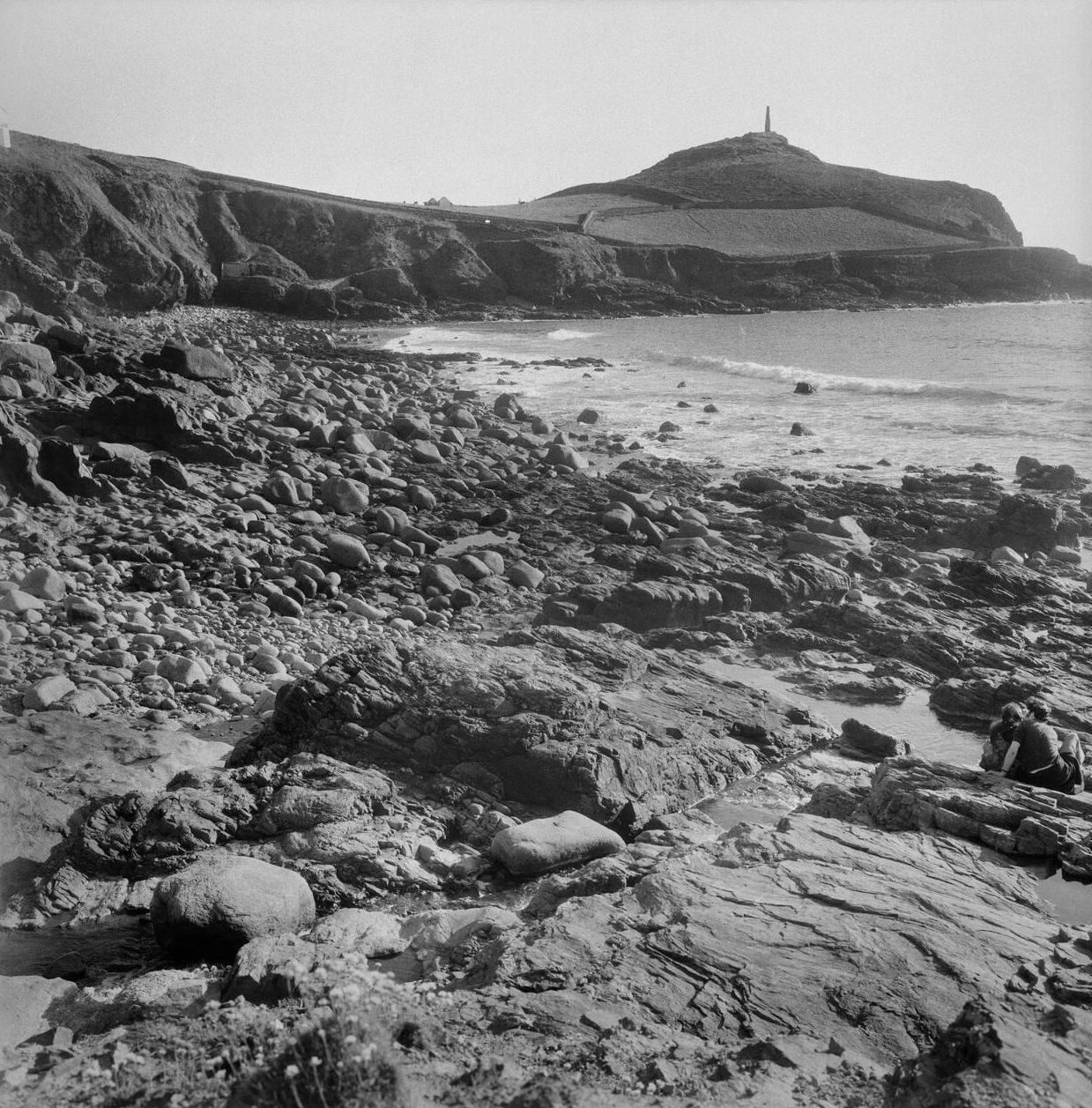
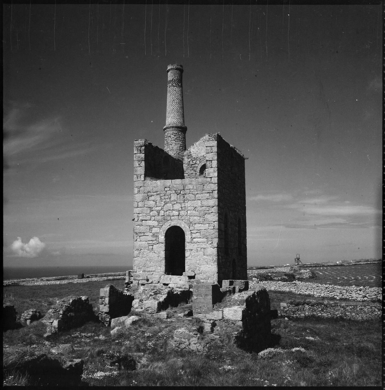
Cape Cornwall, near St Just in the far west of the county, was the only cape in England and Wales — a headland where two separate tidal currents met. Unlike Land’s End a few miles to the south, Cape Cornwall remained largely uncommercialized in the 1970s. The ruined chimney stack of an old mine stood at its summit, a reminder that even this remote tip of England had once been an industrial site.
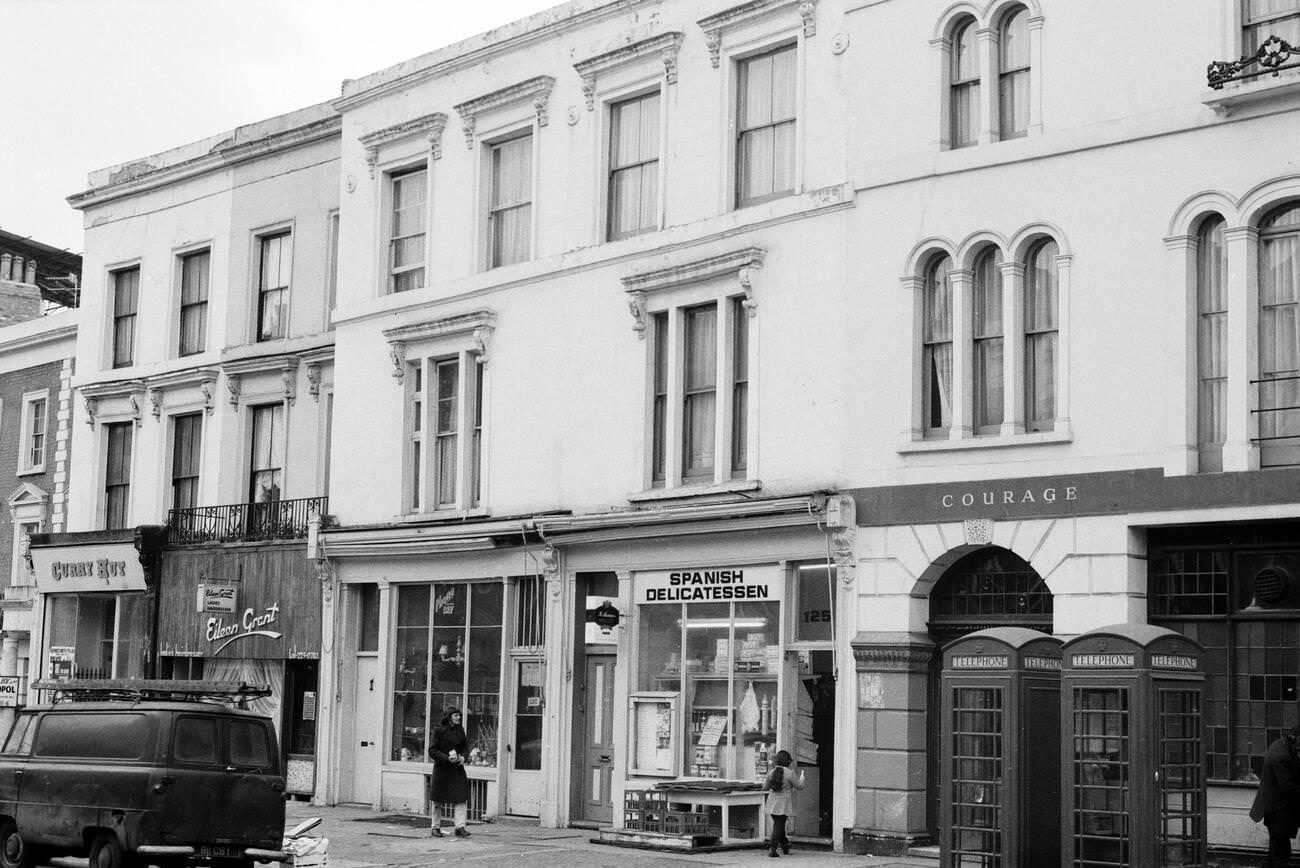
Pubs and inns were central to Cornish social life throughout the decade. The Duke of Cornwall was one of many local establishments where miners, fishermen, and farmers gathered at the end of the working day. Stories of smugglers and seafarers circulated alongside conversation about local politics and the state of the industries keeping communities alive.
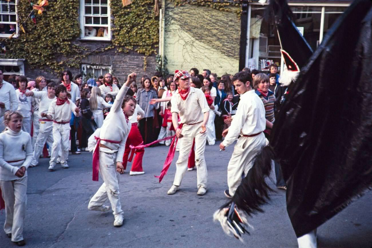
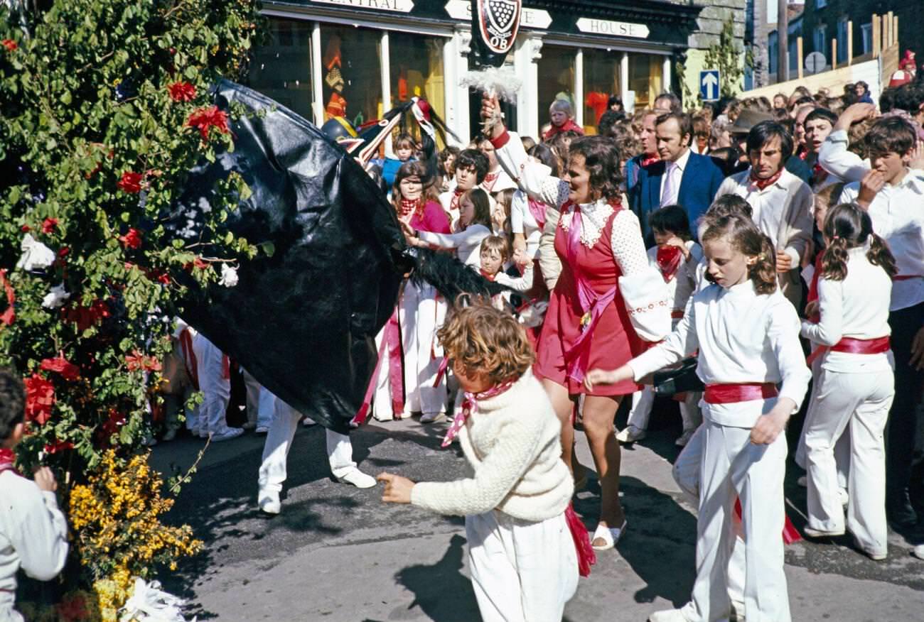
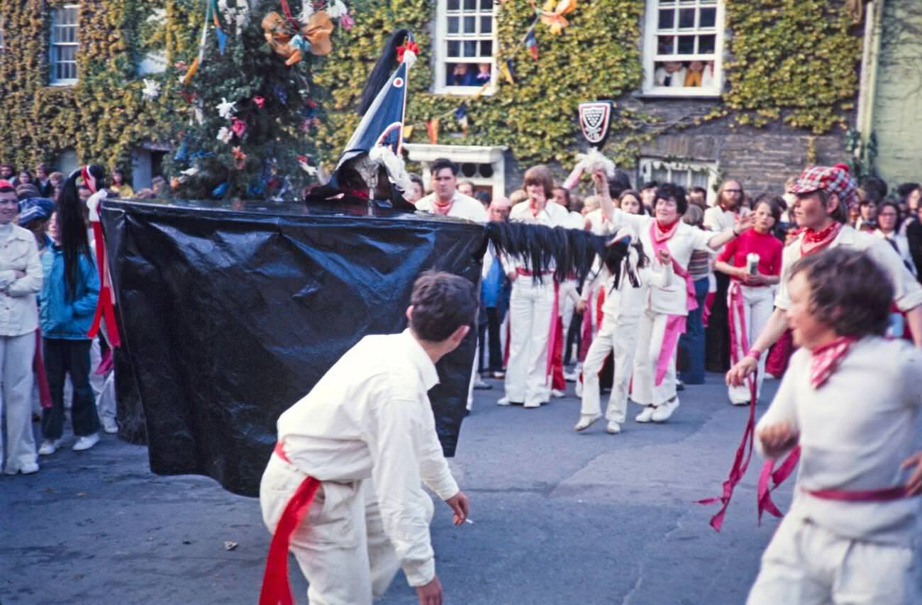
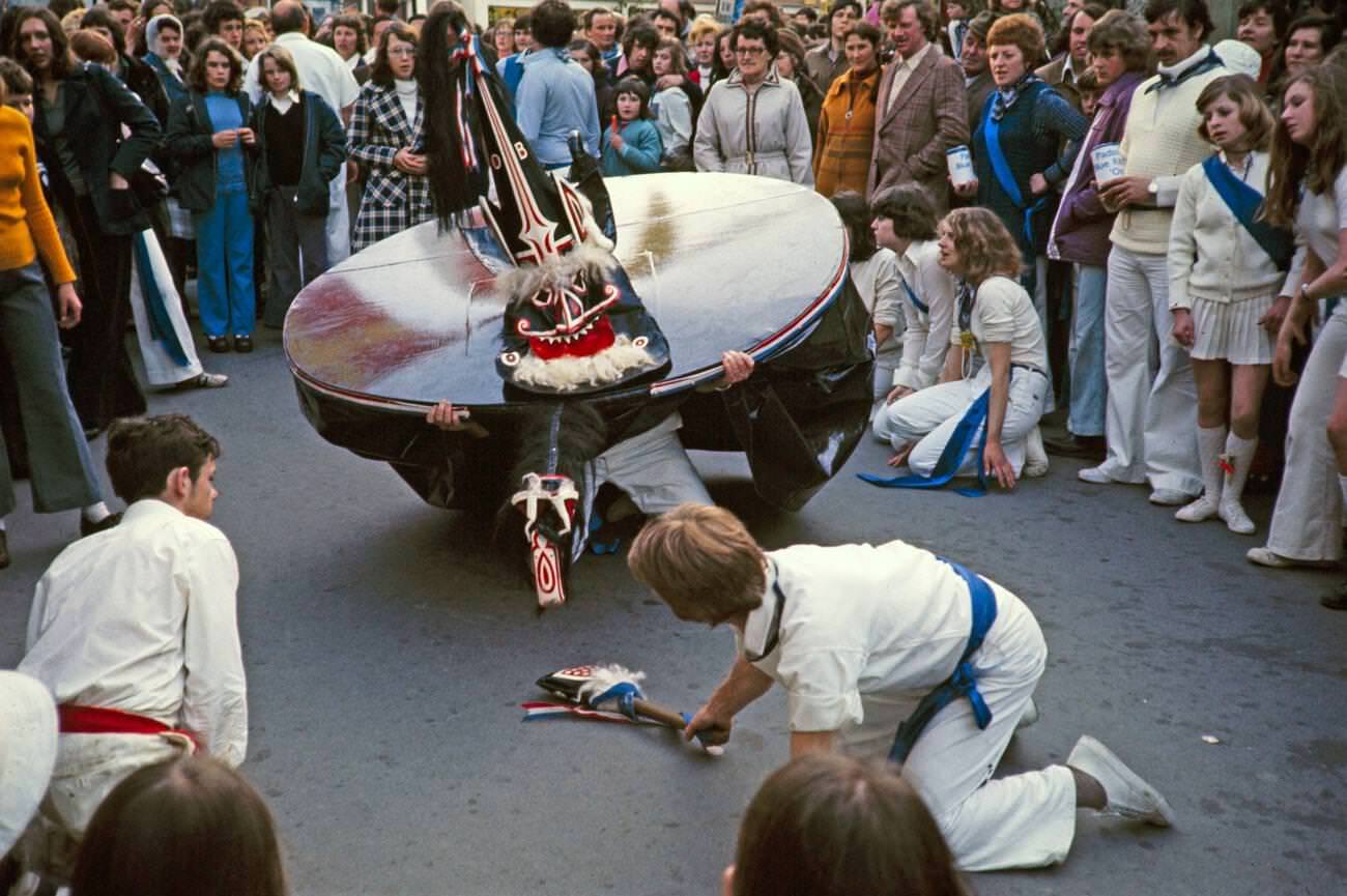
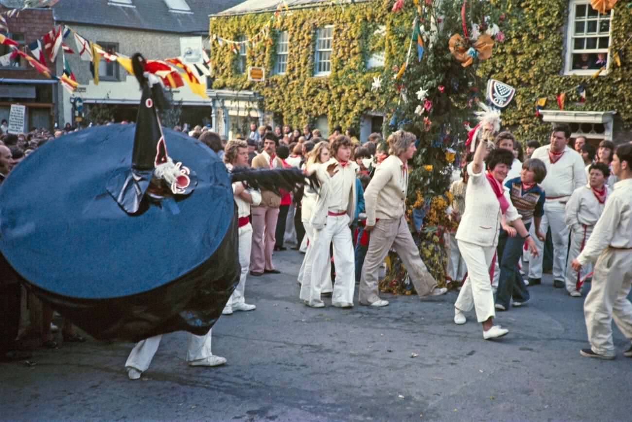
One of Cornwall’s most extraordinary annual events was the ‘Obby ‘Oss festival in Padstow, held every May Day. Two rival hobby horse costumes — the Old ‘Oss and the Blue Ribbon ‘Oss — paraded through the town’s narrow streets accompanied by drumming, singing, and crowds of participants dressed in white. The festival had ancient roots and carried genuine ritual significance for local people. In 1975, it drew large crowds who joined the procession and danced in the streets from morning until nightfall.
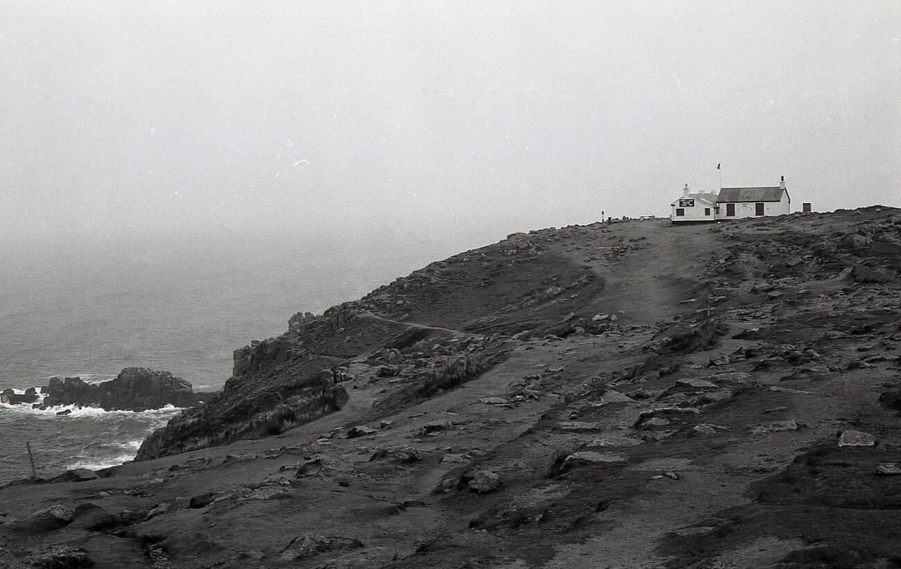
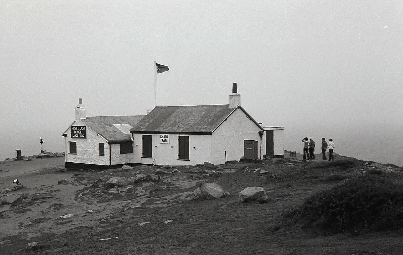
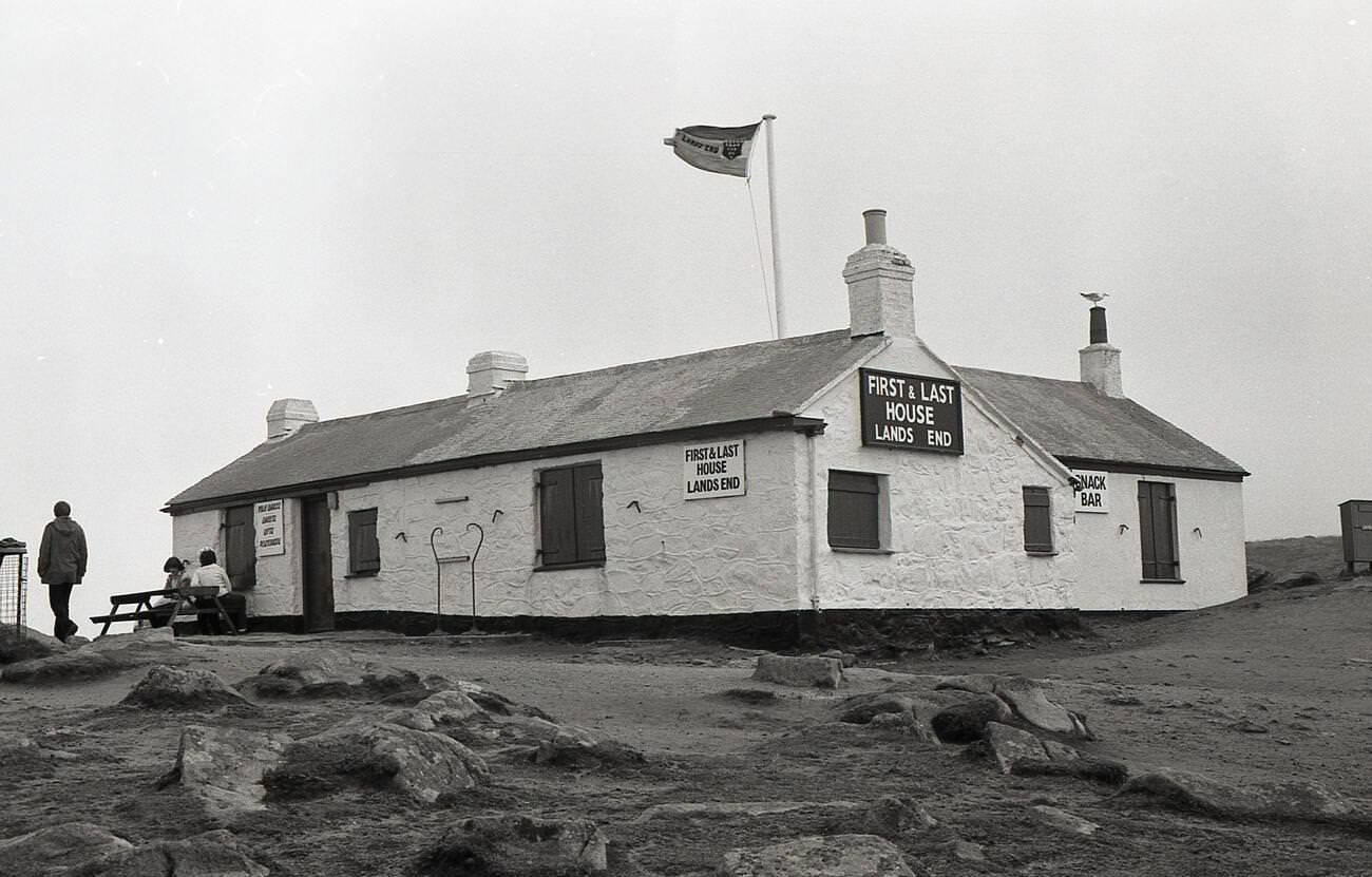
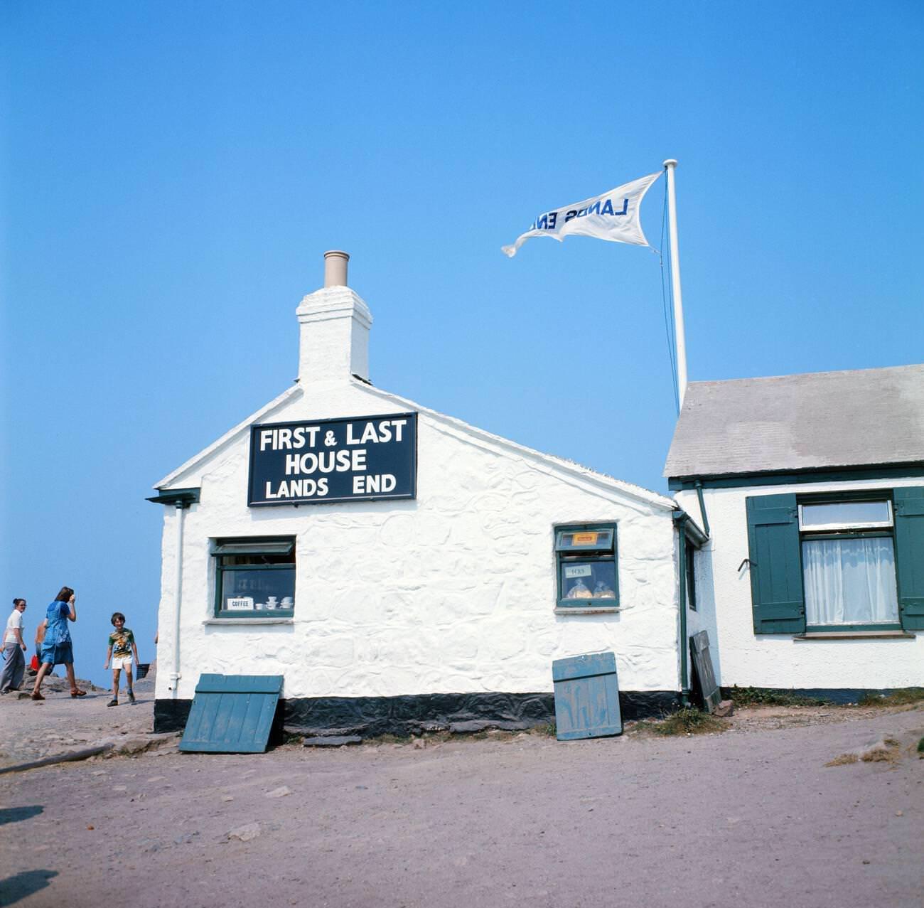
Land’s End, the most westerly point of mainland England, had been attracting visitors long before the 1970s. The ‘First and Last House,’ a stone cottage perched right on the clifftop, sold refreshments and souvenirs to the steady stream of tourists who made the journey to stand at the edge of England. Behind it, the Atlantic stretched uninterrupted to the horizon, and the coastline dropped sharply into the sea.
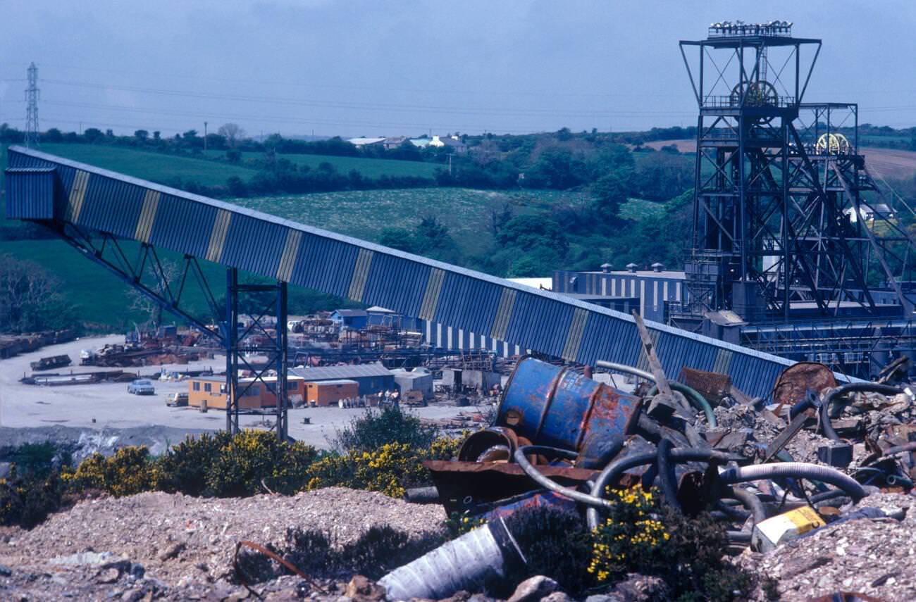
Wheal Jane, near Baldhu and Chacewater, was one of the most significant tin mines still operating in Cornwall during the 1970s. Run by the Cornish Tin Mining Company, it employed hundreds of men and represented a last stand for the industry in the region. By 1978, the financial situation had become critical, and the mine became a focal point for the wider campaign to save Cornish tin mining.
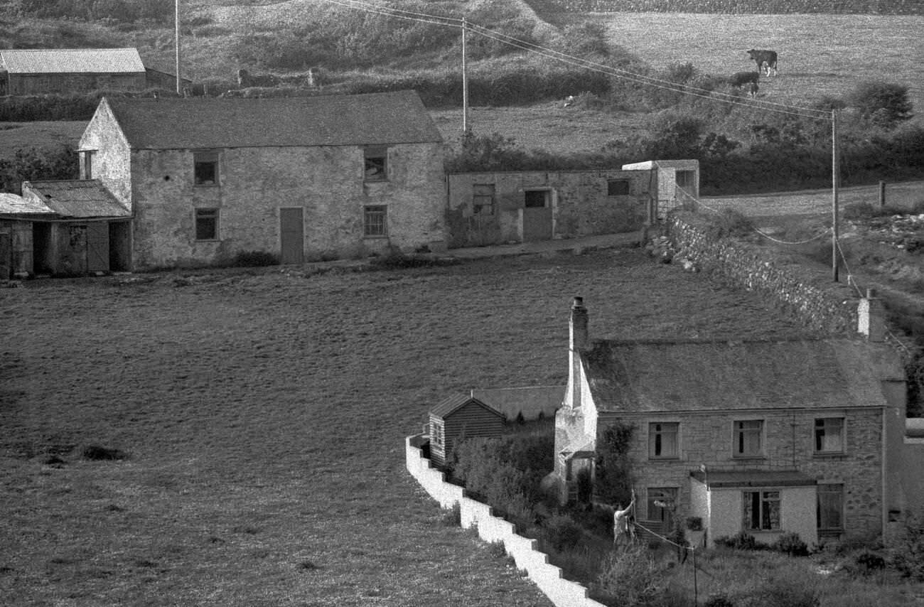
Away from the coast, Cornwall’s rural interior was dominated by small farms and market gardens. Chacewater and the surrounding parishes were home to smallholdings where families grew vegetables, kept livestock, and supplemented their income however they could. As mining employment declined, many households leaned more heavily on the land to get by.
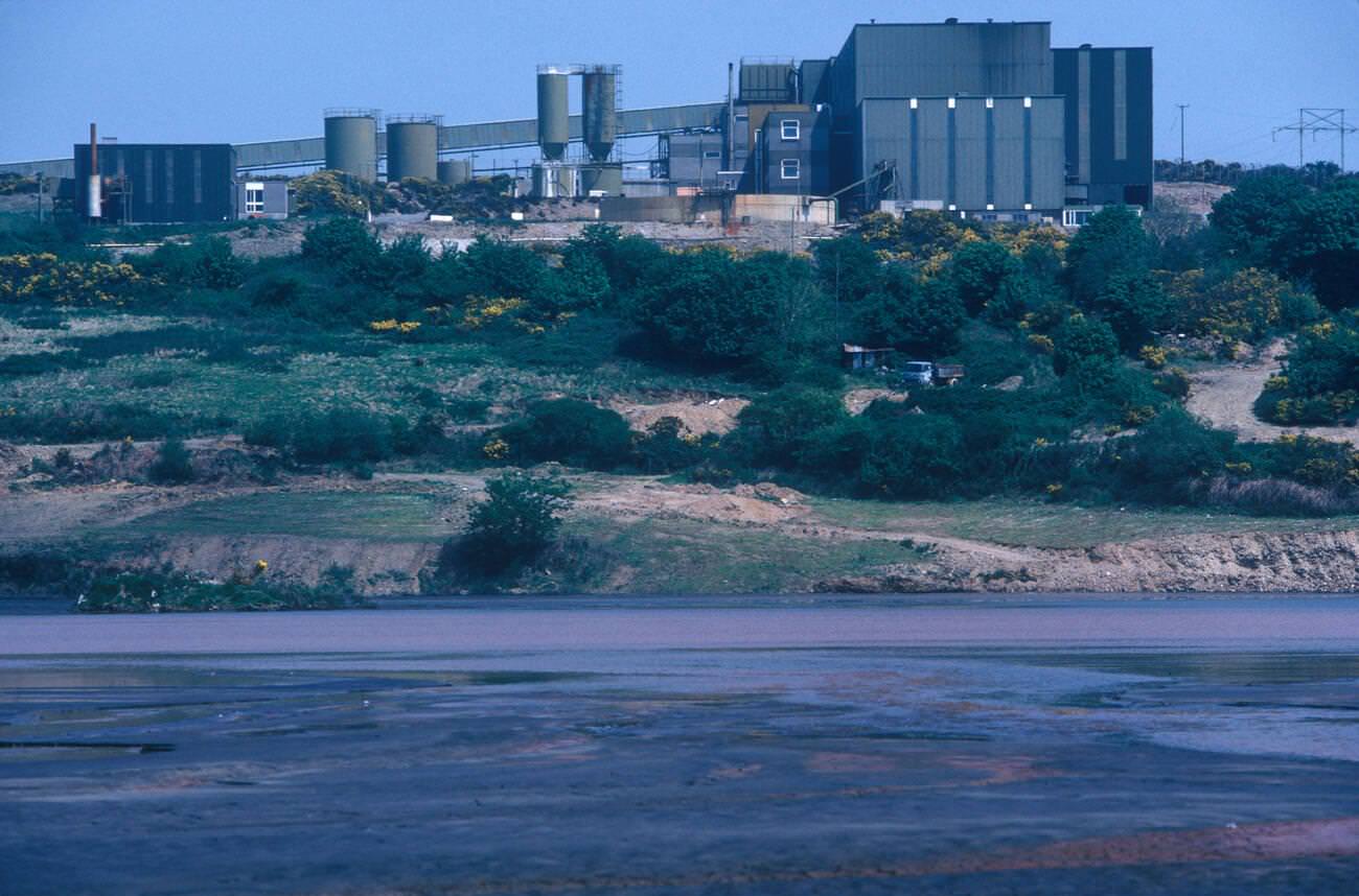
The scenes at Wheal Jane in 1978 captured the end of an era. Men who had worked underground for years now faced an uncertain future. The mine’s closure would come in stages, and the images of workers receiving redundancy notices became some of the most powerful documents of Cornwall’s industrial decline.
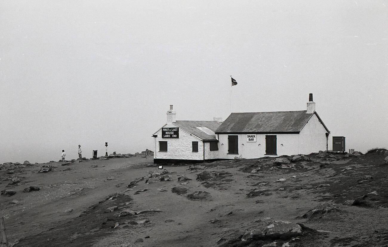
The ‘First and Last House’ at Land’s End functioned as a simple tea room and souvenir shop throughout the 1970s. Visitors bought postcards, local crafts, and cups of tea before walking to the signpost marking the point where England ended. It operated without the large-scale visitor complex that would later be built on the site, keeping the experience relatively modest and close to the landscape.
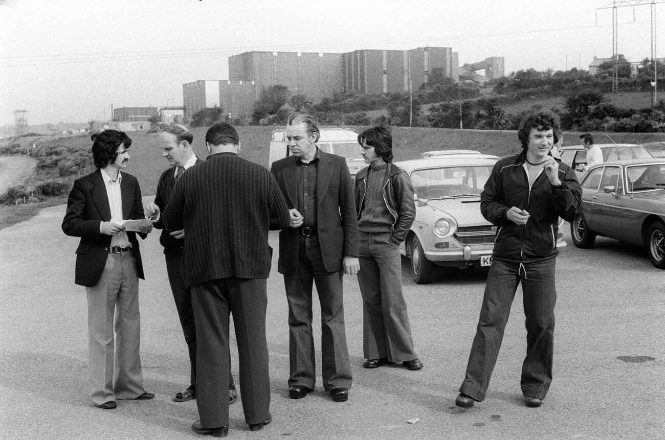
The redundancy notices handed out at Wheal Jane in 1978 marked a turning point for the communities that had built their lives around tin mining. For many of the men who received them, there was no obvious alternative employment in the area. The decline of mining accelerated Cornwall’s shift toward a tourism-based economy, though that transition brought its own pressures on local wages and housing.
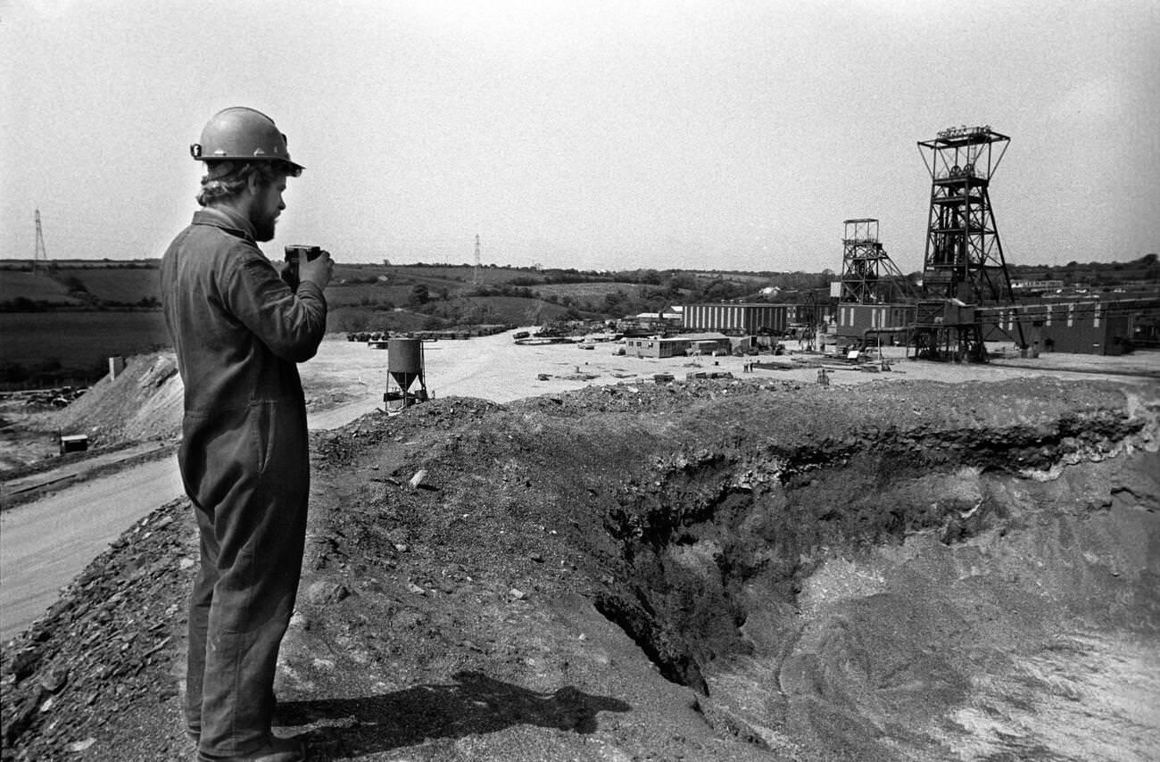
The engine houses scattered across the Cornish landscape were becoming ruins in real time during the 1970s. Many had already been abandoned for decades, but active mines like Wheal Jane still had working infrastructure. As they closed, their machinery was stripped and the buildings were left to the elements, joining the older ruins that had already become part of Cornwall’s distinctive visual identity.
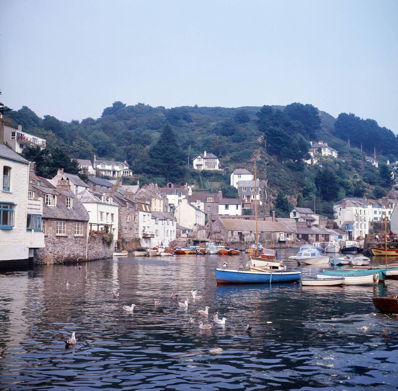
By 1973, Polperro’s harbor was one of the most photographed spots in Cornwall. Fishing boats sat low in the water, their hulls worn and painted in faded colors. The village’s reputation drew visitors from across Britain, but its working character — the nets, the catch, the tides — remained intact. Locals and tourists coexisted in the narrow lanes during the summer months.
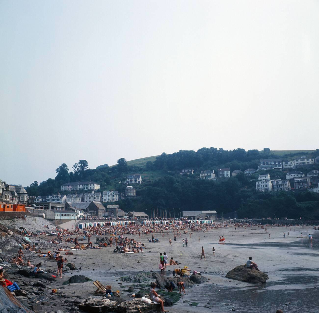
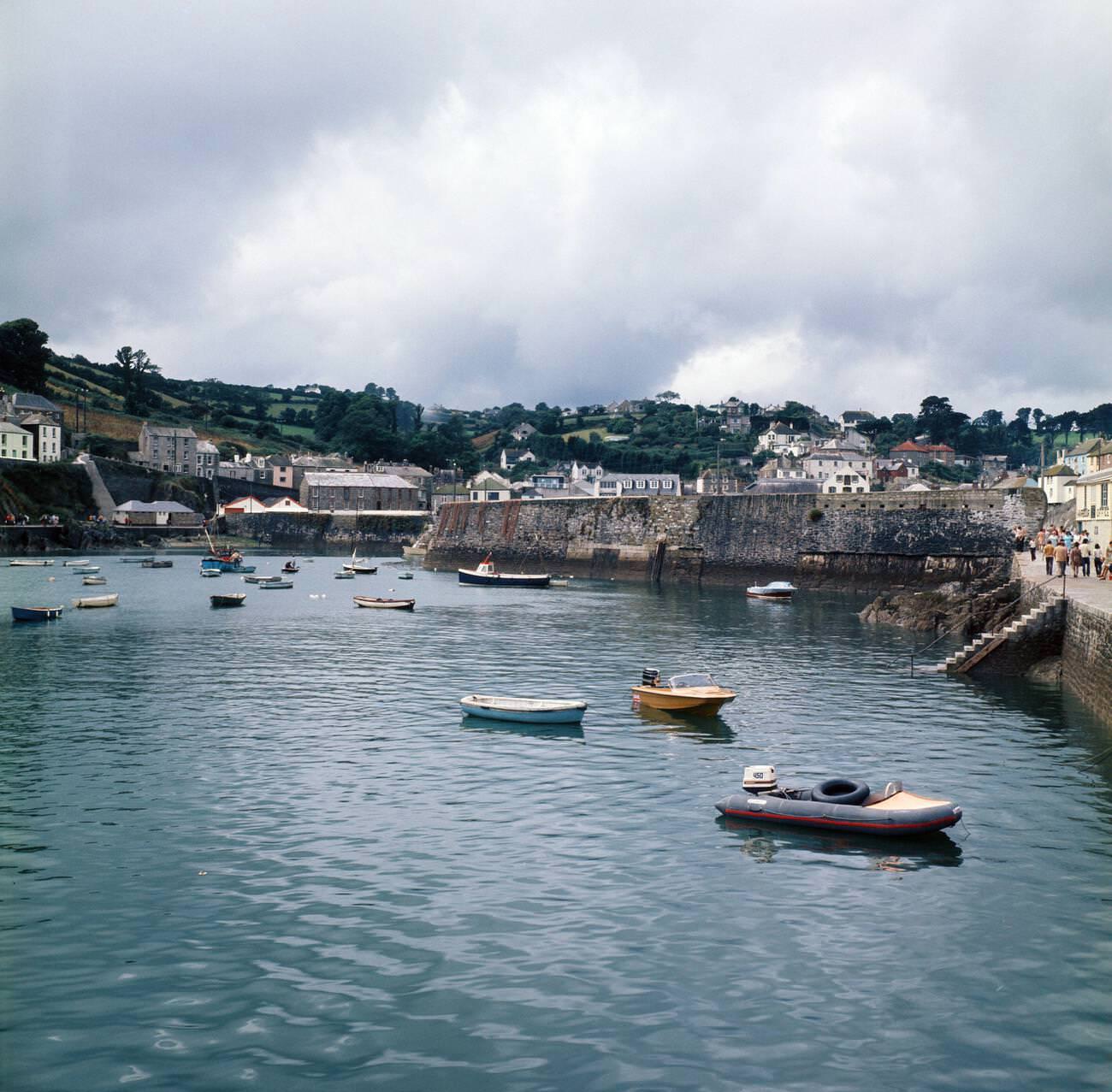
Looe and Mevagissey were two more south coast fishing ports that doubled as holiday destinations in the 1970s. Looe’s beach drew summer crowds, while Mevagissey’s double harbor remained a working fishing port, sending boats out for pilchards and mackerel. Both towns reflected the balance Cornwall was trying to strike — preserving functional industries while catering to the growing tourist trade.
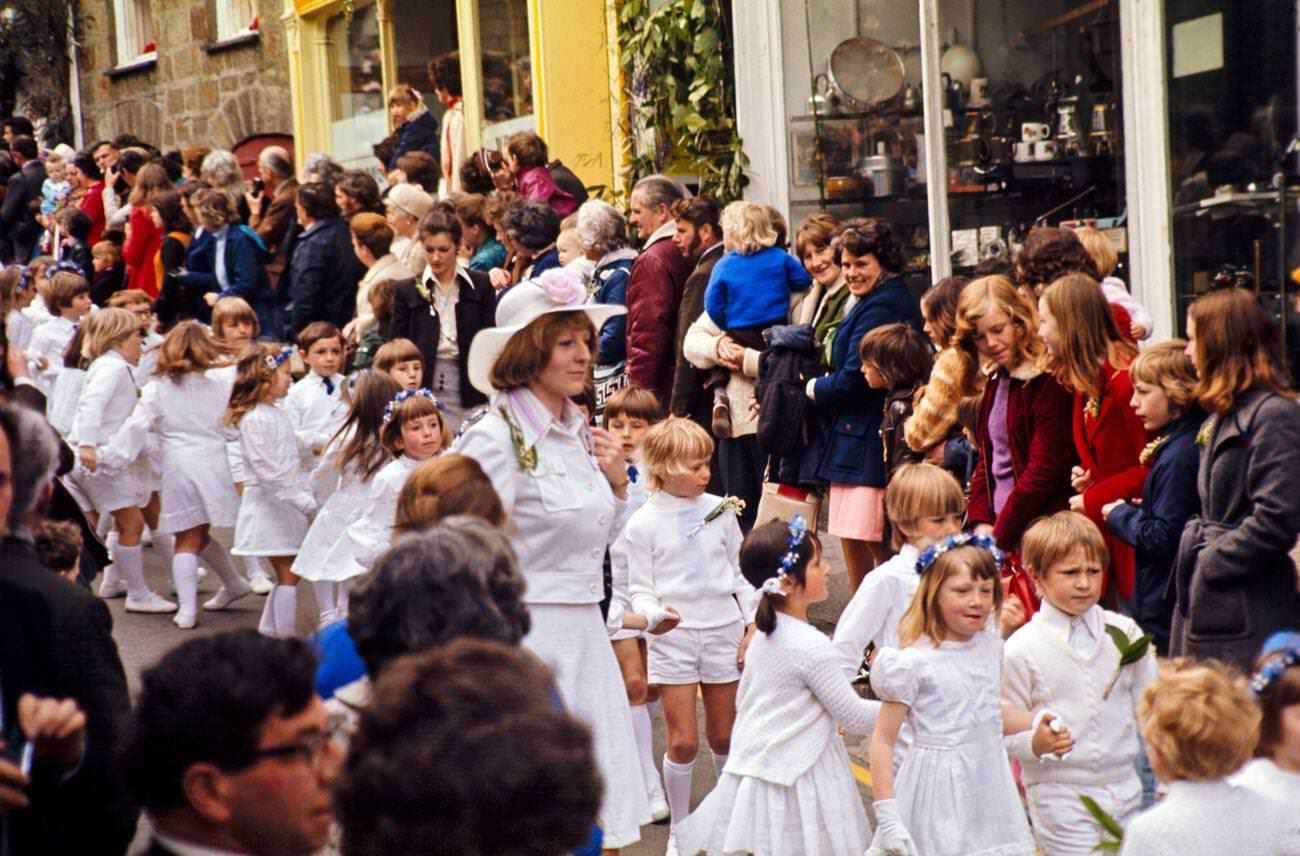
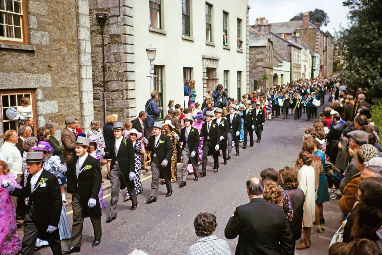
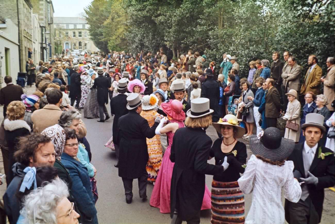
Helston’s Flora Day, held each May, was another of Cornwall’s ancient festivals that survived into the 1970s fully intact. The Furry Dance — its name derived from the Cornish word ‘fer,’ meaning fair or celebration — wound through the town’s streets in a series of processions throughout the day. Children danced in the morning, then adults in formal dress took over for the most celebrated midday dance. The whole town participated, and businesses shut their doors for the occasion.
Folk music echoed through the narrow streets of fishing villages like Polperro throughout the 1970s. The Cornish language, though spoken by relatively few people, was beginning to see organized efforts at revival. Celtic cultural identity — expressed through music, dialect, and customs — remained a genuine source of local pride, not simply a tourist attraction.
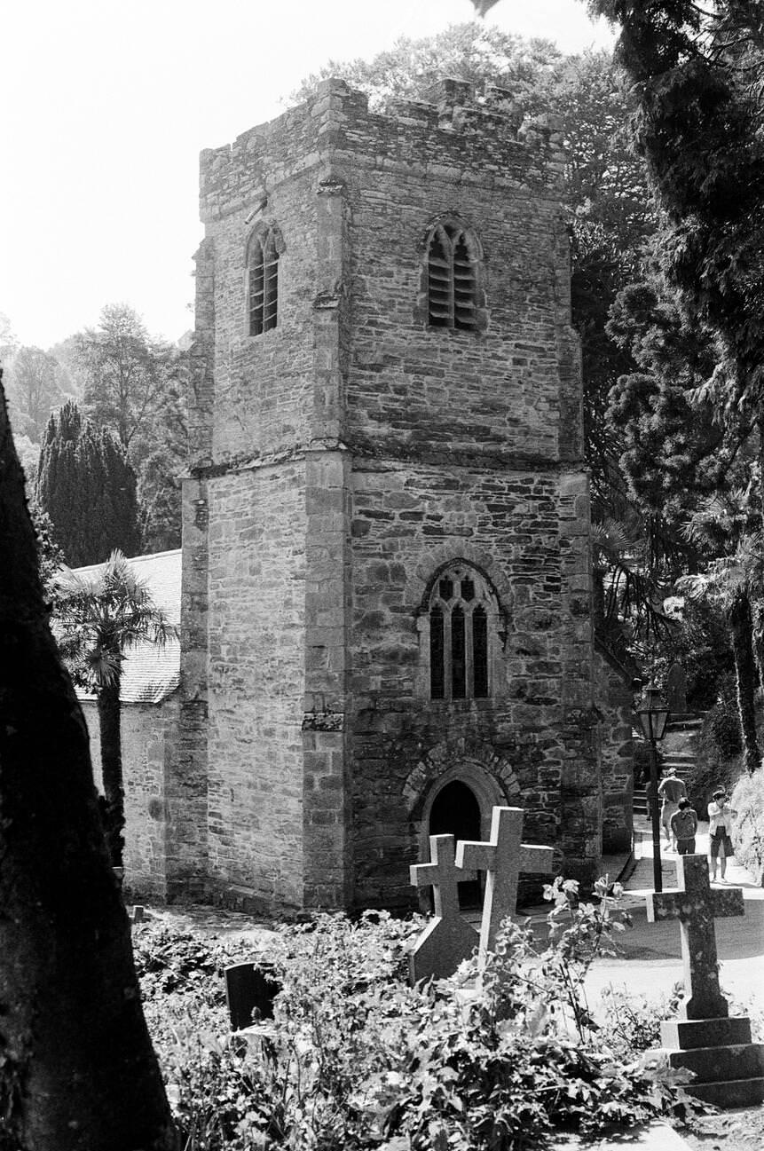
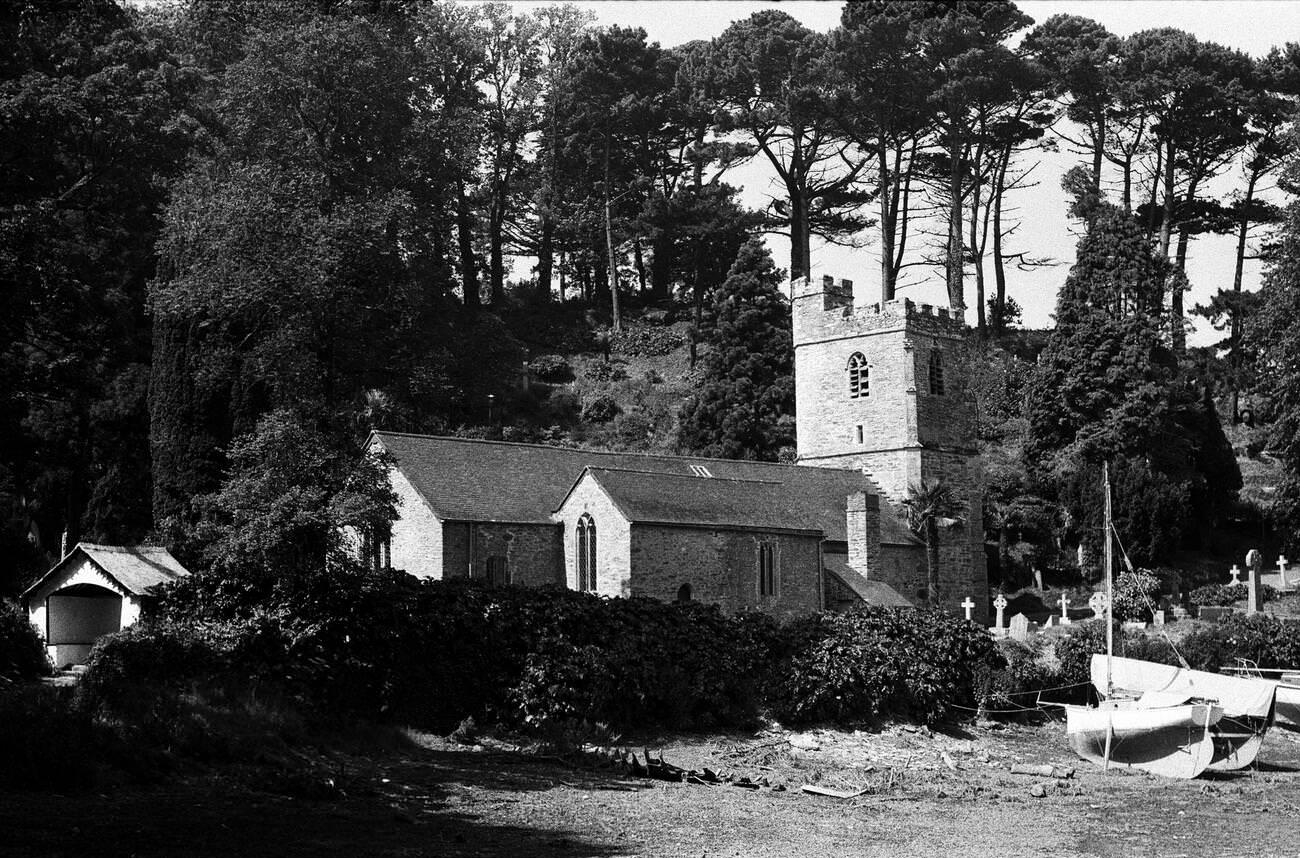
St Just in Roseland Church, on the Roseland Peninsula, dated back to the 13th century and sat at the edge of a tidal creek. Its churchyard was densely planted with subtropical shrubs and trees — palms, bamboo, and magnolias — made possible by the mild Gulf Stream climate. The combination of ancient stone and lush vegetation gave it an atmosphere unlike almost anywhere else in England.
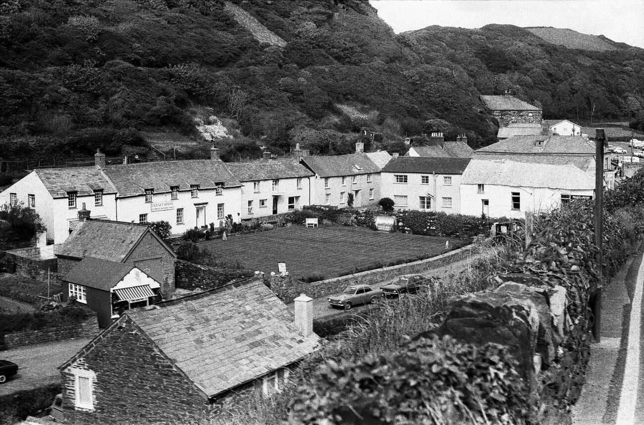
Boscastle’s village center in the mid-1970s showed how small Cornish communities were adapting to tourism without losing their domestic character. Craft shops and pottery studios opened in cottages alongside ordinary homes. The ‘Presents and Pottery’ shop on the main street was typical of the era — small-scale, locally run, and selling goods made in the region rather than imported merchandise.
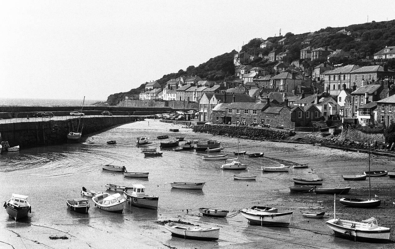
Mousehole, pronounced ‘Mow-zul’ by locals, was one of the most tightly packed fishing villages on the Penwith Peninsula. Its circular harbor, enclosed by granite piers, sheltered a fleet of small fishing boats. The village had been a center of the Cornish pilchard fishing industry for centuries and still retained much of that heritage in the 1970s. In winter, when tourists were absent, it returned completely to its identity as a working fishing community.
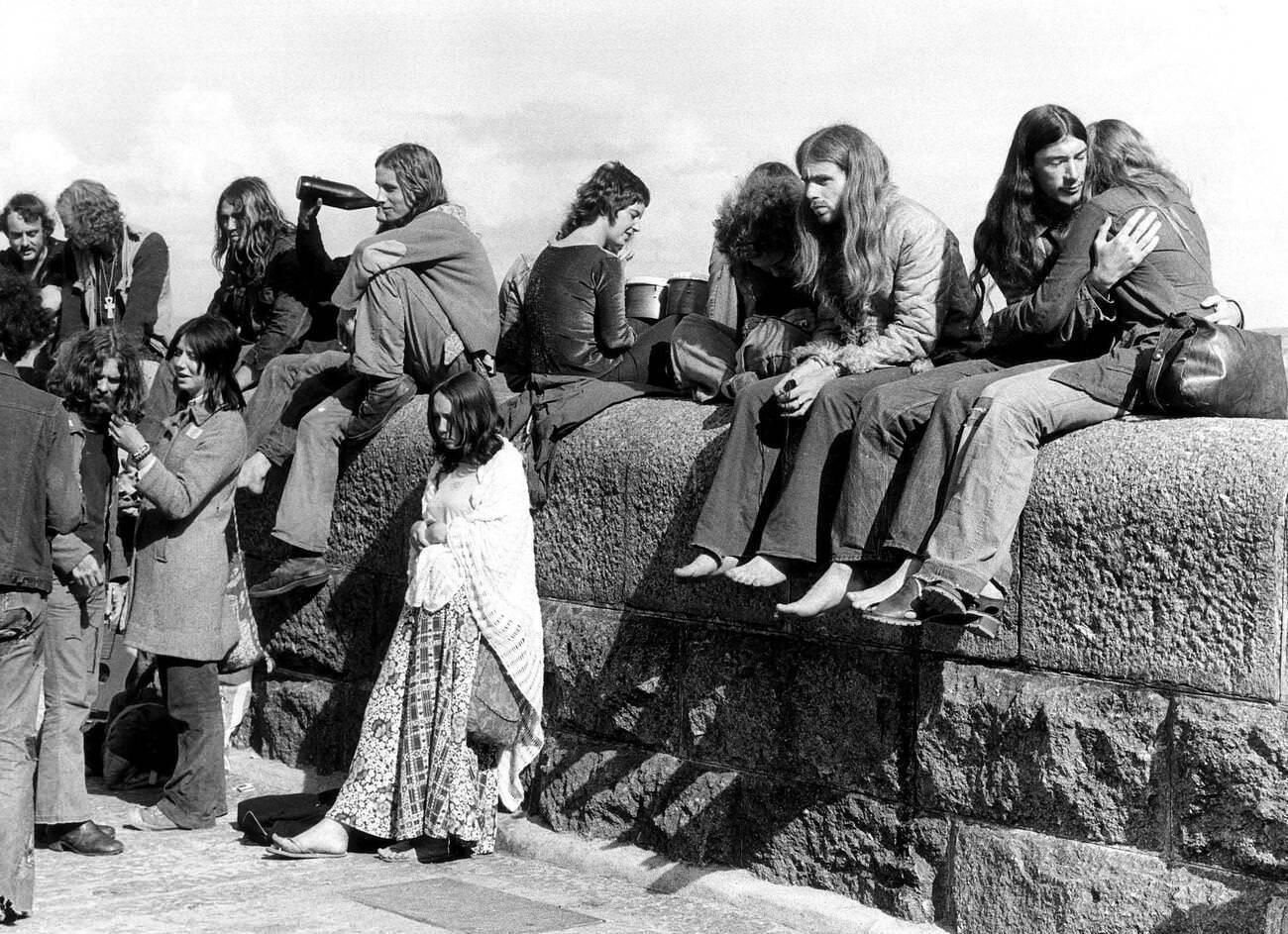
St Ives drew a different kind of visitor by the early 1970s. The town had been home to a thriving artists’ colony since the early 20th century, and that creative reputation attracted writers, painters, and counterculture travelers throughout the decade. By 1973, groups of young people from across Britain were spending summers in St Ives, drawn by its bohemian atmosphere, its light, and its beaches. The art community and the surf scene gave Cornwall a dimension that went far beyond bucket-and-spade tourism.





I was brought up in Marazion through the 60’s and 70’s. Your description is now what I remember at all. It’s very romanticised. By the mid 70’s I can remember traffic jams from Penzance all the way through Marazion. It was already a tourism Mecca. It was cheap flights to Spain that killed that off.
Penzance was a bustling town, Marazion still had shops worth talking about it. The first supermarket in Pz was Tesco’s, but it was in the town. Helston was still thriving.
Yes, you could still hear a thick Cornish accent, and some of the old expressions, but that was already becoming part of history. Still there was a difference between a St Just accent and a Marazion accent… but only the older generations.
some nice photos in there but LOL the St Austell picture is literally from like 2016
I don’t think “The Works” existed in the 1970’s.
These are how it looks now.
Most of those places look identical now.
The “Chacewater Scatups” on Facebook is a veritable goldmine of images of the most popular village in the UK. Highlight is cinecamera footage of the US troops stationed here before D day.
Those cottages in St Agnes brought back memories as an aunt of mine rented one for a week (the end one I think) and I went over and stayed there with her and my cousins. Great little holiday it was.
That was really romanticised.
I’ve got some photographs somewhere somewhere that I took in the 1970s FFS!
It’s not exactly beyond living memory!
Most of these could be re taken with little difference today.
Now lets see some shots of the bits that have changed.
But really, it’s not so much the look that has changed but the feel.
Yup 60% of those rocks are squishy in the 70’s, all have petrified fully now
That line of cottages in St Agnes is Stippy Stappy isn’t it? Also The Cheesewring is near Minions not Mintons
I remember that not very far from where the photo taken in Chacewater showing the save the mines poster the road collapsed into an old mine.
These are great. I remember my Granddad taking me to The First and Last for ice cream and a milkshake…I’ve not thought about that in years. Thank you for posting
Why did people stop wearing hats?
There’s a lot of theories for this, one of which is the invention of central heating and the spread of the motor car, both of which made hats less relevant and more annoying to have on you
I’ve also read that people had grubbier hair as less soap/shampoo available so hats hid this.
Apparently in the 70s West Looe was in East Looe