
Cape Town in the 1980s was a city under enormous pressure — and yet it was alive in a way that’s hard to fully capture in words. Apartheid touched every corner of daily life, from where people could live and work to where they could eat, swim, or sit on a bench. The city’s streets, landmarks, and neighborhoods all carried the weight of that system. But they also carried something else: the energy of a population that was pushing back, building community, and refusing to disappear. The decade opened with apartheid still firmly in place. The Group Areas Act had already scattered communities across the Cape Flats, and District Six — once one of the most diverse urban neighborhoods in the country — had been bulldozed flat. Former residents fought for decades to return to land they were forcibly removed from. That fight didn’t end in the 1980s, but it grew louder.
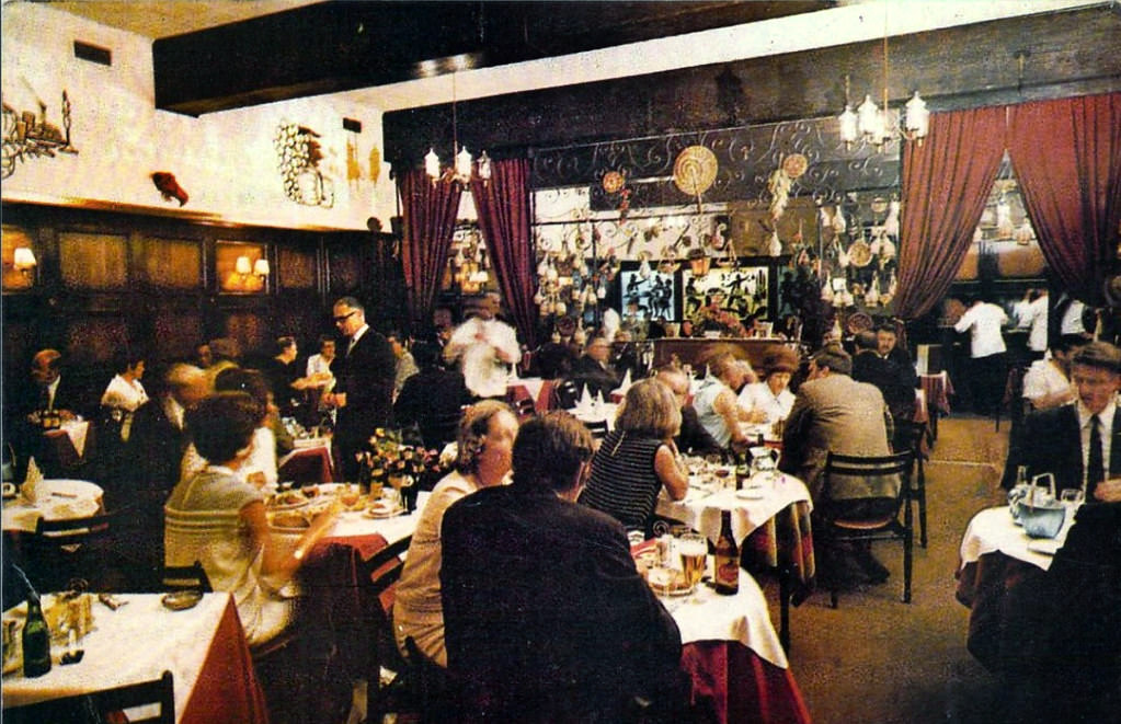
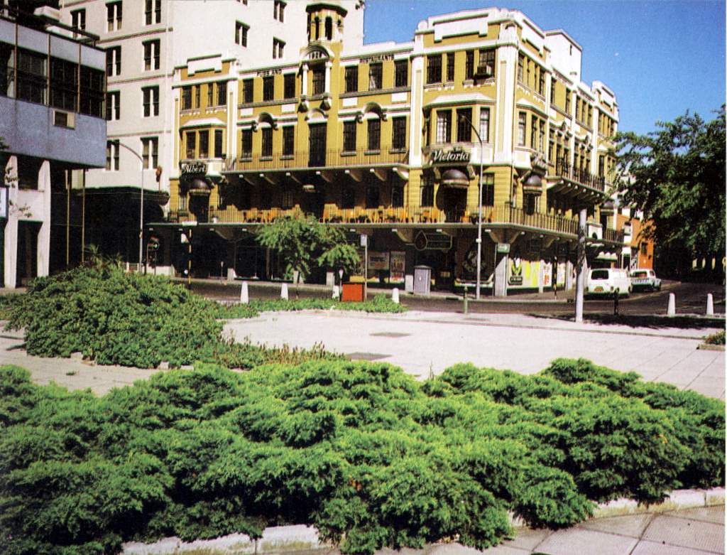
The city centre in 1980 still had a distinctly mid-century character. Restaurants like Hildebrand operated inside the kind of large commercial buildings that defined the CBD, while the streets below buzzed with shoppers, workers, and commuters. Adderley Street remained the spine of the city, lined with shops and leading down toward the foreshore.
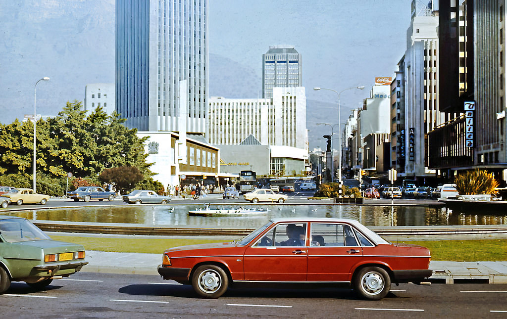
The Adderley Street fountain was a familiar landmark for anyone moving through the city centre. Around it, the rhythm of Cape Town’s commercial life played out daily — street vendors, office workers, and pedestrians weaving past one another in a city that functioned under strict racial rules while appearing, on the surface, almost ordinary.
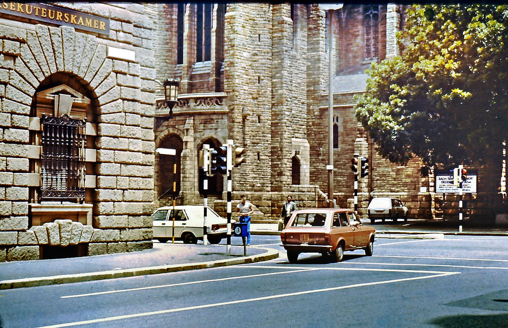
By 1983, political resistance had taken more organized shape. The United Democratic Front was launched that year, bringing together hundreds of civic organizations, trade unions, and community groups under one broad coalition opposed to apartheid. Cape Town became a focal point for UDF activity, with townships like Mitchell’s Plain and Crossroads seeing some of the most intense unrest. Police crackdowns were routine, and by the mid-decade, a State of Emergency had been declared.
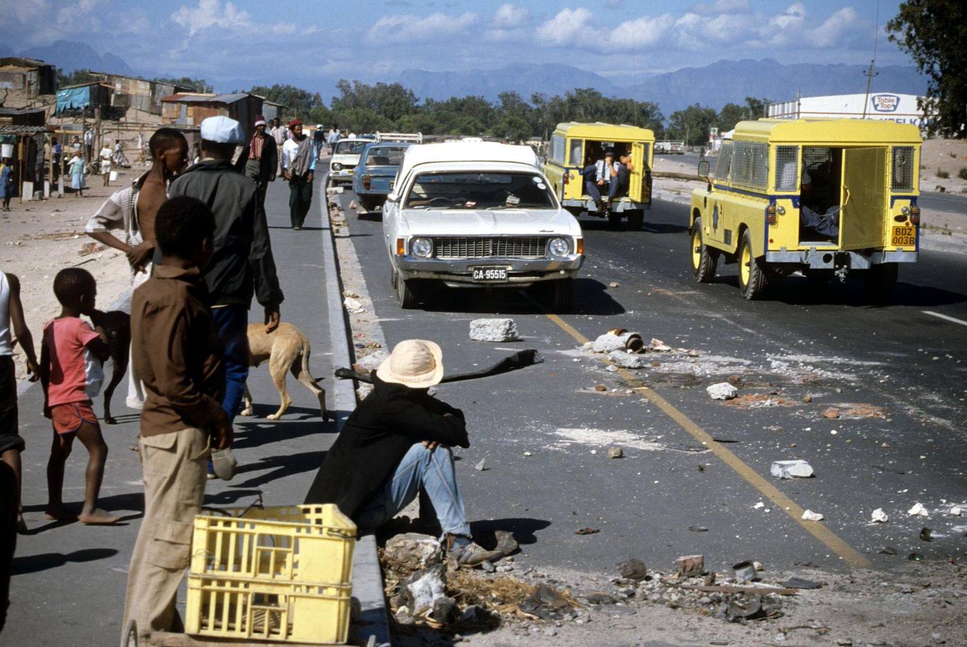
The Crossroads shantytown on the Cape Flats was one of the most contested areas in the Western Cape during this period. Residents faced repeated demolitions and police operations aimed at enforcing influx control laws — legislation that restricted where Black South Africans could legally live. The image of police Land Rovers rolling past debris tells its own story about daily life in these communities.
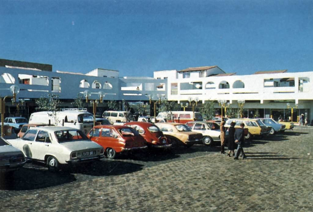
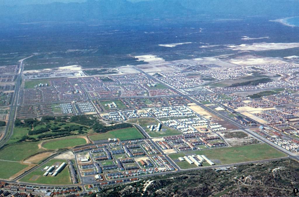
Mitchell’s Plain was established in the mid-1970s as a township for Coloured residents removed from areas like Constantia and other suburbs under the Group Areas Act. By the early 1980s, it had grown into a large, densely populated community. These photographs show the township as it looked in those early years — rows of modest homes stretching across the flat terrain south of the city.
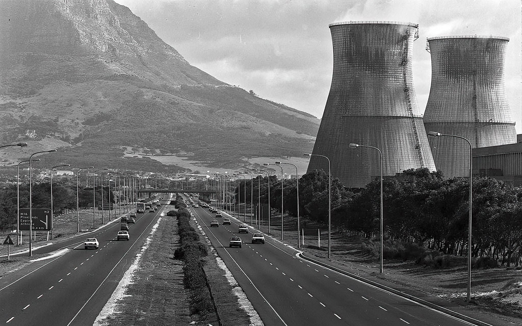
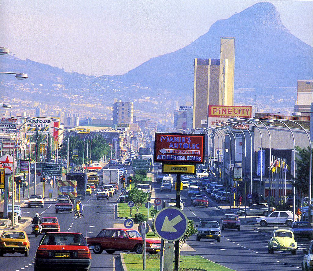
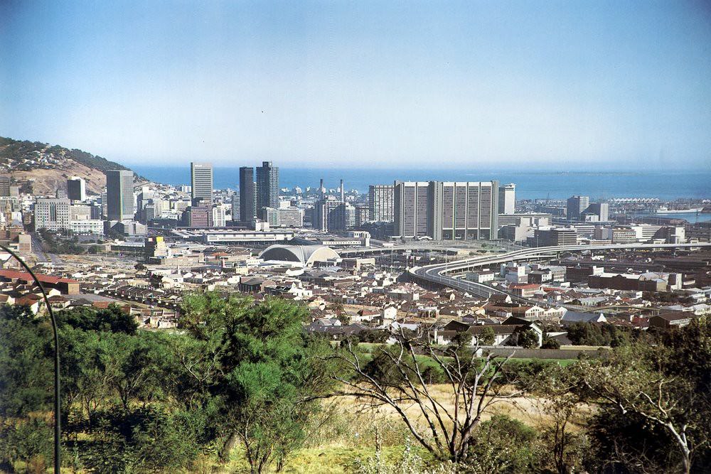
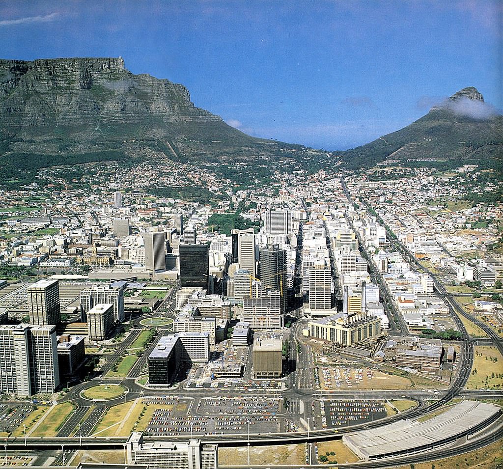
The N2 highway was — and still is — the main road connecting Cape Town’s centre to its outlying townships and the airport. In 1981, it offered a clear look at the city’s geography: the mountain backdrop, the industrial zones, and the sprawl of neighborhoods fanning out toward the peninsula.
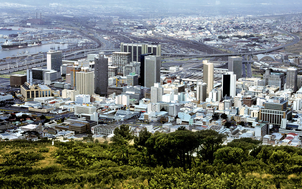
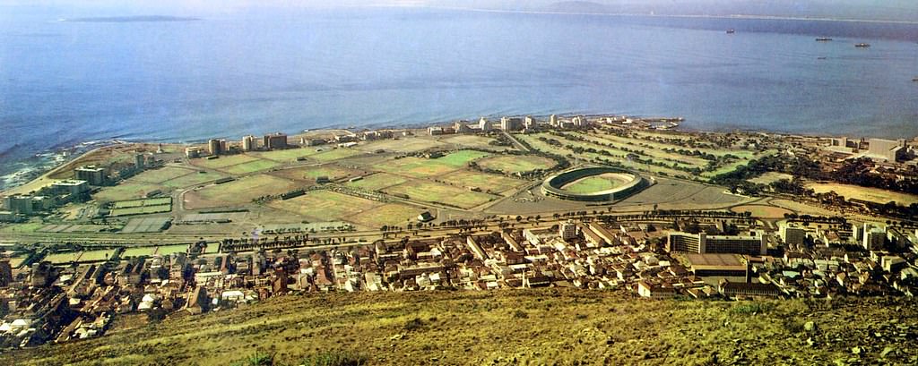
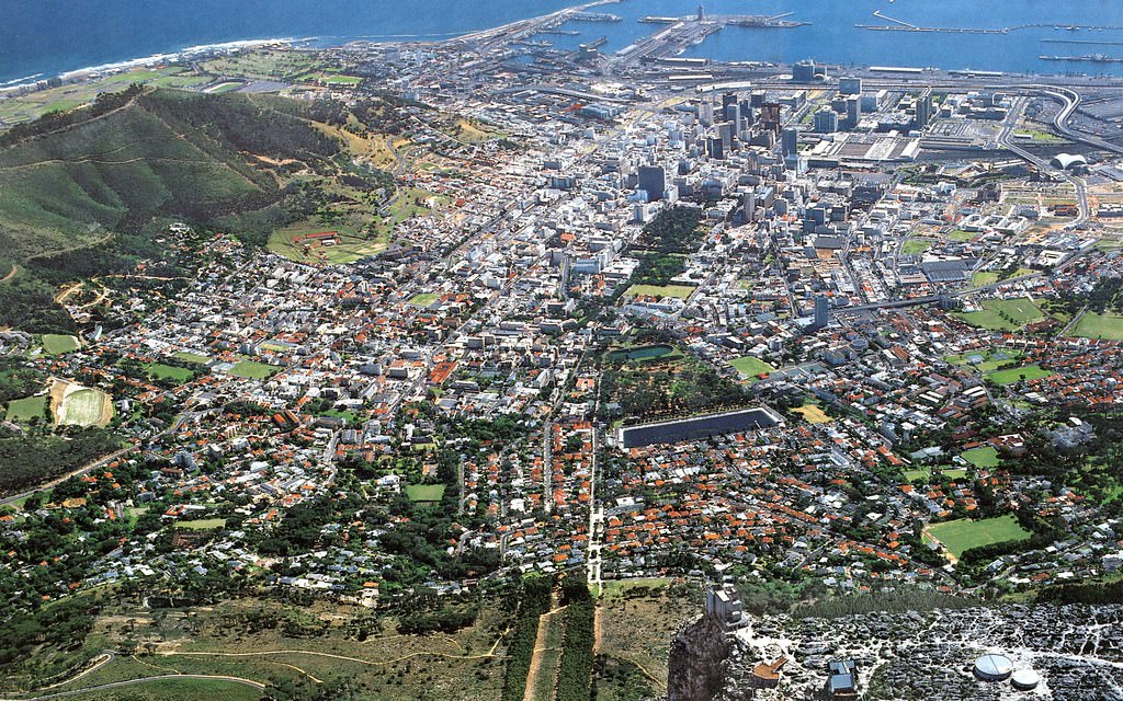
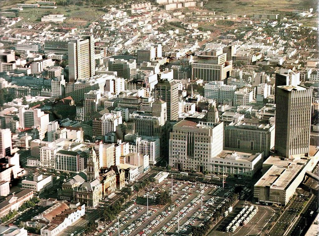
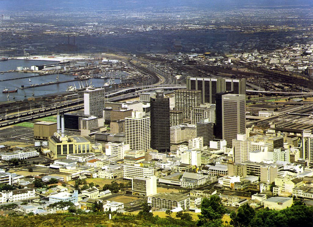
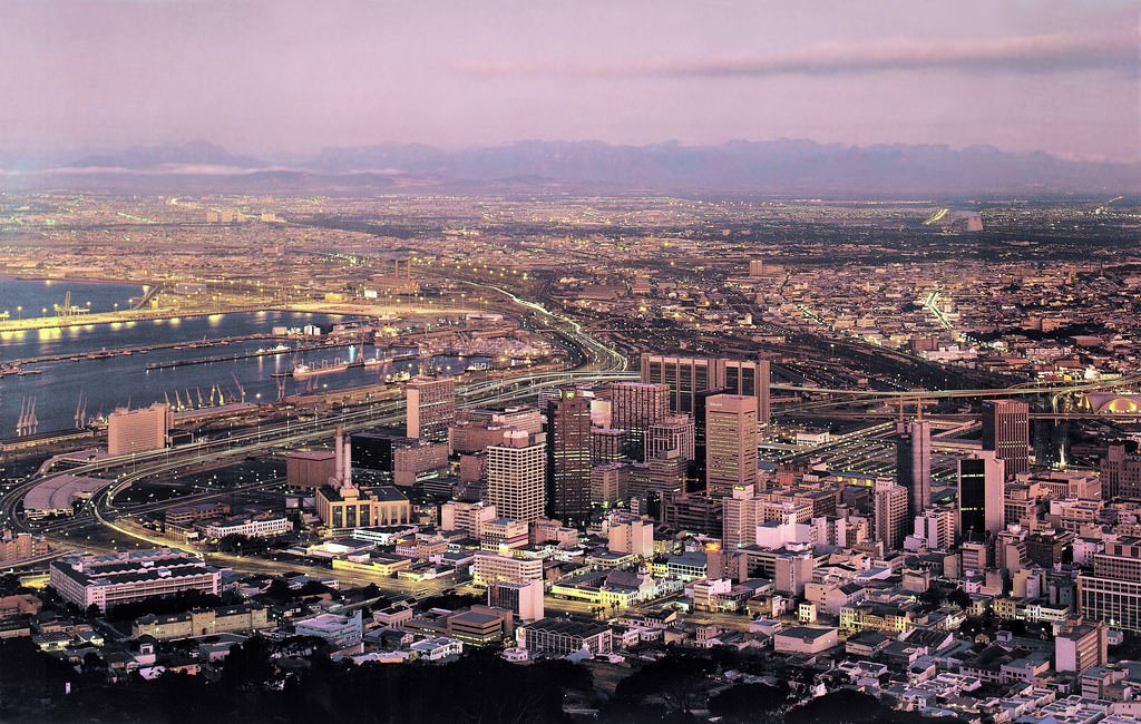
From Signal Hill, the full shape of Cape Town is visible — the City Bowl nestled between Table Mountain and the sea, the foreshore reclaimed from the ocean, and the high-rise buildings clustered at the centre. By 1986, that skyline had grown noticeably compared to a decade earlier, with new commercial towers rising above the older colonial-era streetscape.
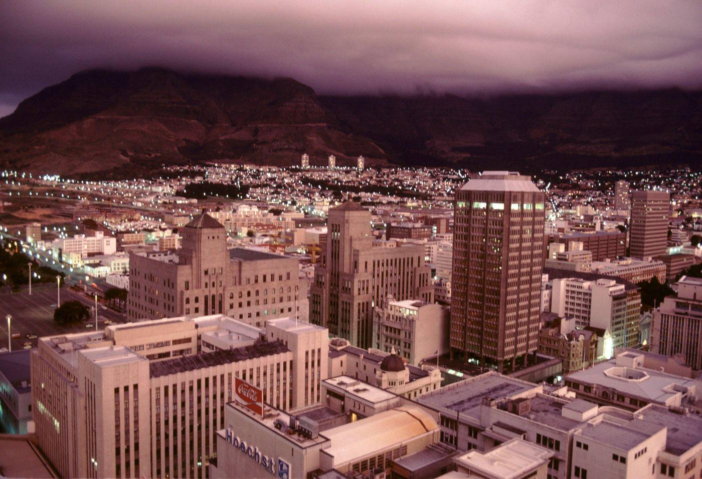
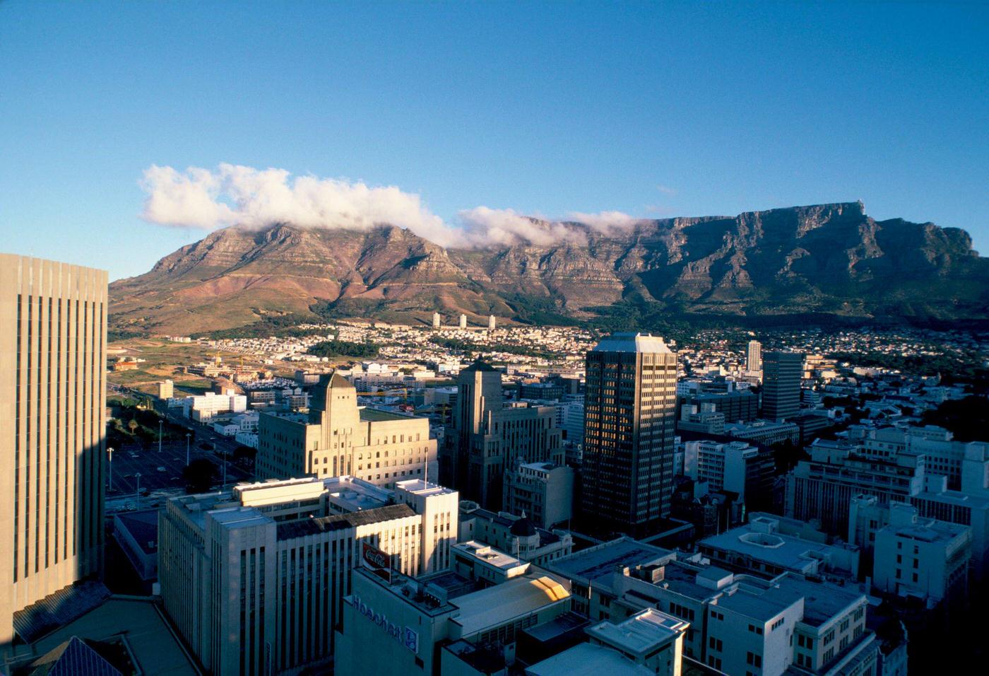
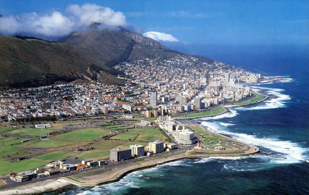
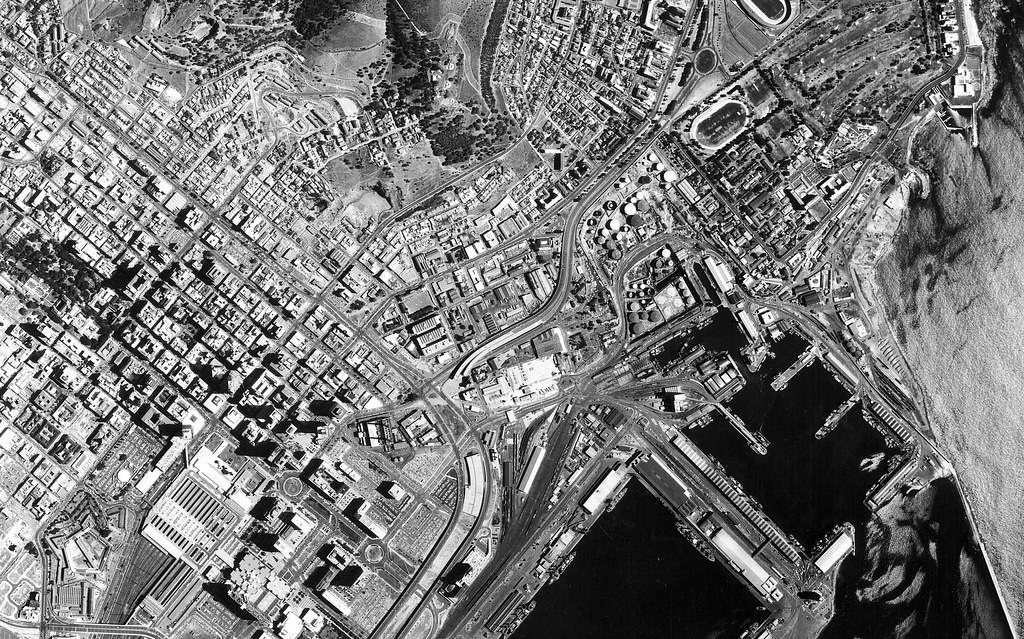
The aerial photographs from 1985 show a city that, from above, looks almost serene — the bay, the mountain, the grid of streets below. But at ground level, the mid-1980s were among the most turbulent years in South African history. A nationwide State of Emergency was declared in 1985, giving police and the military sweeping powers to detain people without trial and restrict public gatherings.
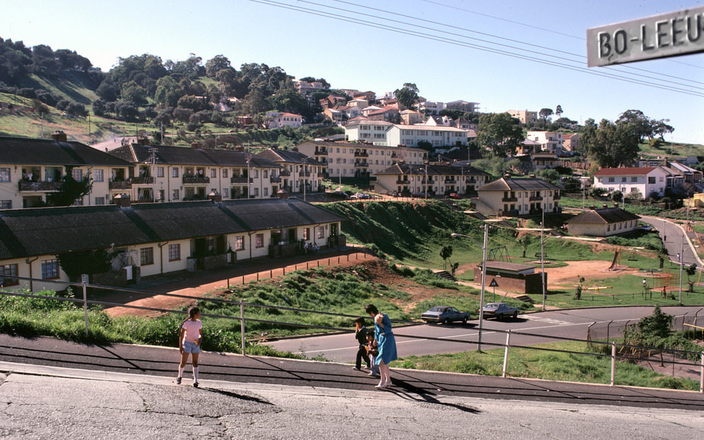
The Bo-Kaap, perched on the slopes of Signal Hill above the city centre, was one of the few urban neighborhoods that retained its community through the apartheid era. Its brightly painted houses and cobblestone streets had been home to Cape Malay Muslim families for generations. Unlike District Six, Bo-Kaap survived — its residents successfully resisted removal attempts, and the neighborhood remained a living cultural anchor for the city.
Greenmarket Square had been a trading space in Cape Town since the eighteenth century, and by 1980 it was still a bustling open-air market in the heart of the city. Vendors sold everything from fresh produce to clothing, and the square’s surrounding buildings — many of them well-preserved Art Deco and Victorian structures — gave it a character that set it apart from the newer commercial blocks nearby.
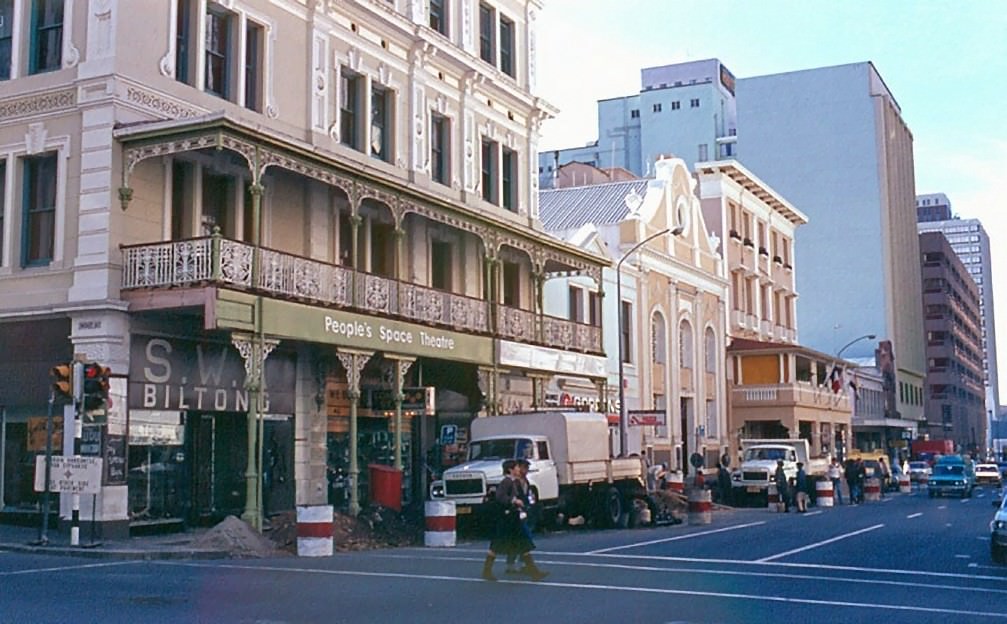
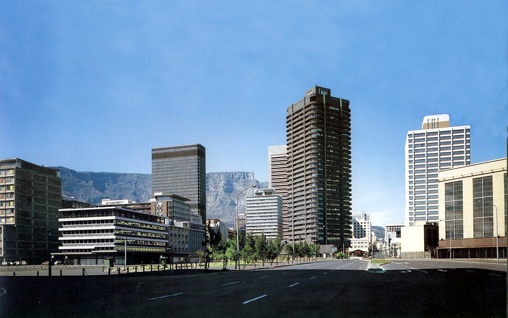
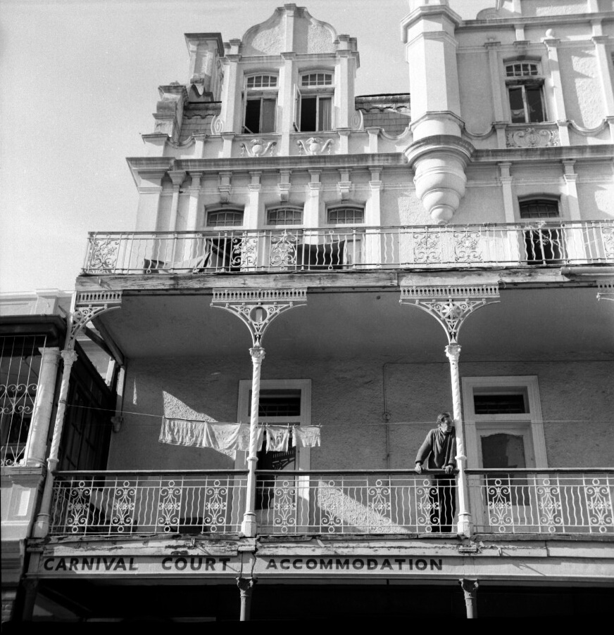
Long Street in the early 1980s was dense with Victorian-era buildings, many featuring the ornate iron balconies that still define it today. It was a working commercial street — bookshops, hardware stores, tailors, and small restaurants operating side by side. The street’s architectural character hadn’t yet been reshaped by the waves of gentrification that would come later.
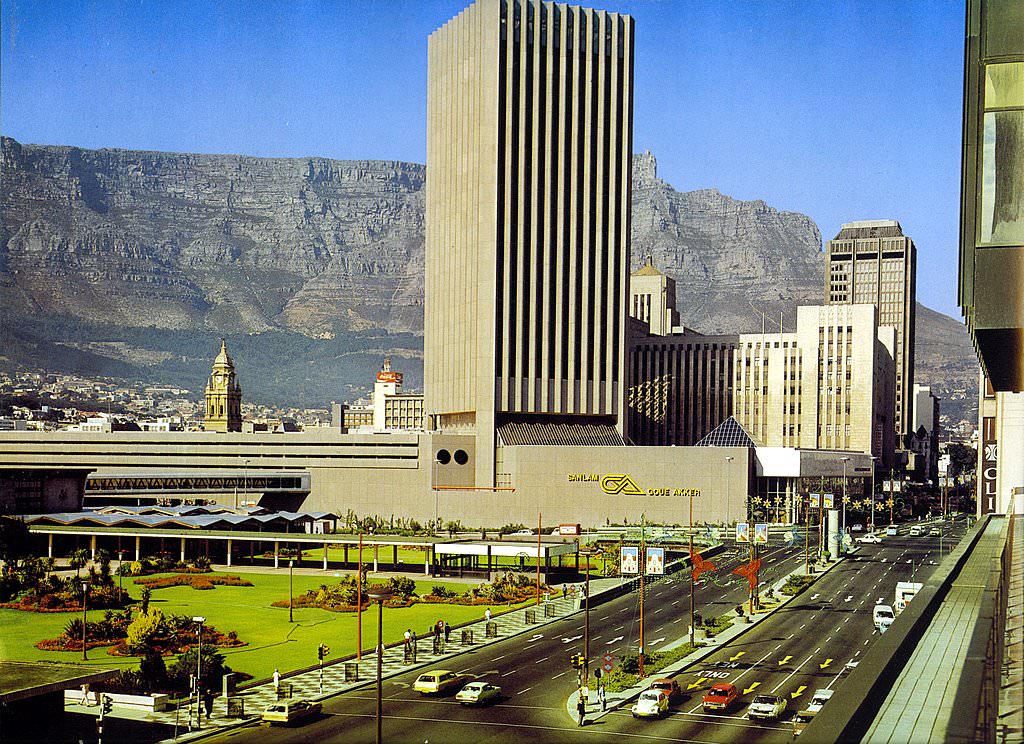
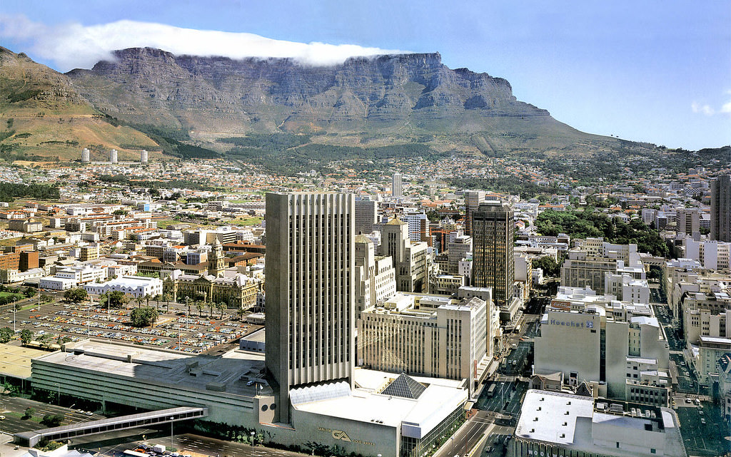
The Golden Acre shopping complex, opened in 1978, was a defining feature of central Cape Town by the time these photographs were taken. Built over the historic foreshore area near the train station, it represented a new kind of urban commercial space — enclosed, air-conditioned, and designed for high foot traffic. During its construction, workers unearthed remnants of the original VOC-era freshwater reservoir and jetty, now preserved beneath it.
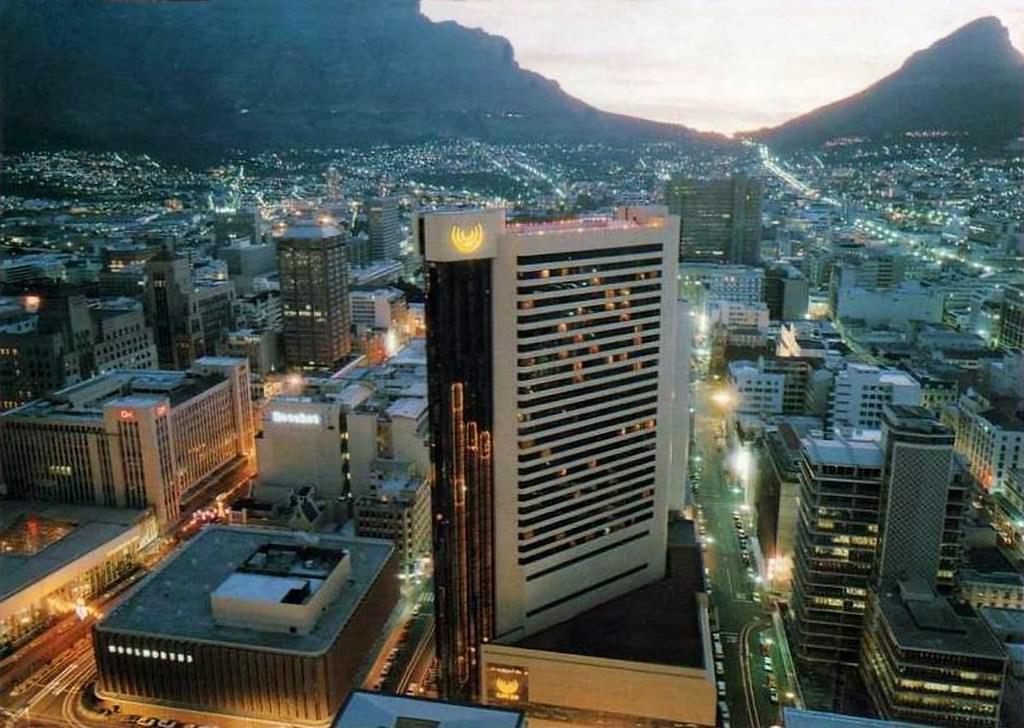
The Cape Sun Hotel on Strand Street was one of the most prominent hotels in the city during the 1980s. Its tower stood out on the city skyline and catered to business travellers and tourists, though international travel to South Africa had been significantly affected by boycotts and sanctions tied to apartheid. South Africa was increasingly isolated on the world stage through this decade.
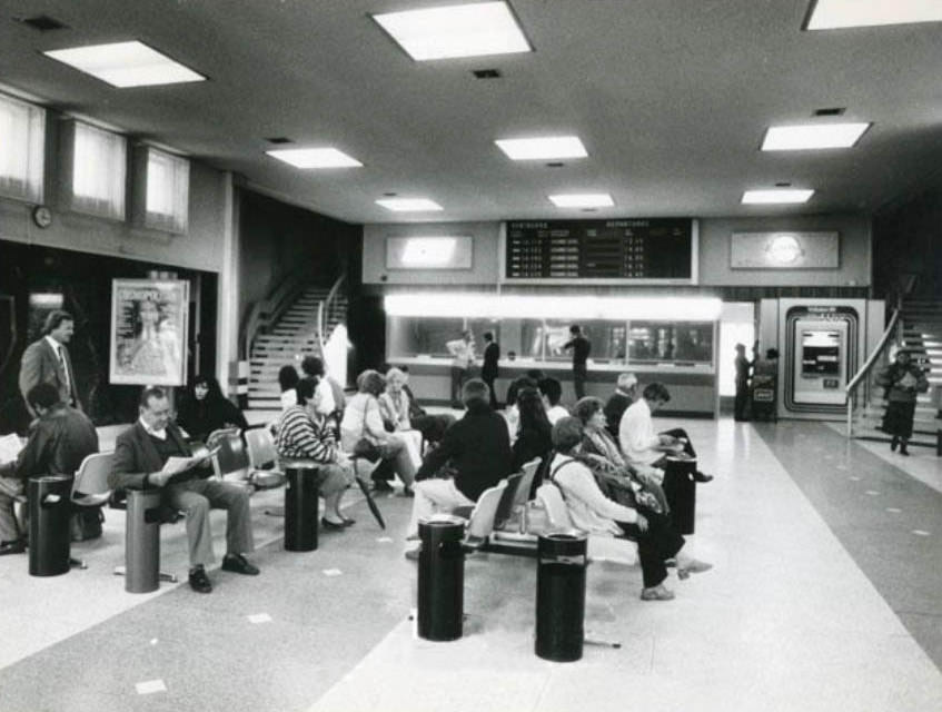
D.F. Malan Airport — named after the National Party prime minister who formally implemented apartheid in 1948 — served as Cape Town’s main international gateway. By 1982, it had undergone several expansions to handle growing passenger numbers, though the terminal retained the clean, functional lines of its mid-century design. The airport was later renamed Cape Town International Airport after the democratic transition.
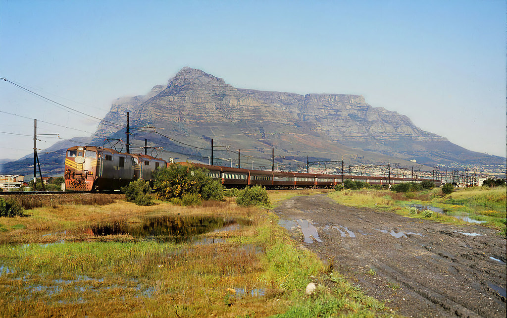
The Trans Karoo Express ran between Cape Town and Johannesburg, cutting across the vast semi-desert of the Karoo in a journey that took around 26 hours. It was one of the great long-distance train routes in South Africa — carriages pulling away from Cape Town station and gradually climbing into the dry interior. Like most public services under apartheid, its carriages were racially segregated.
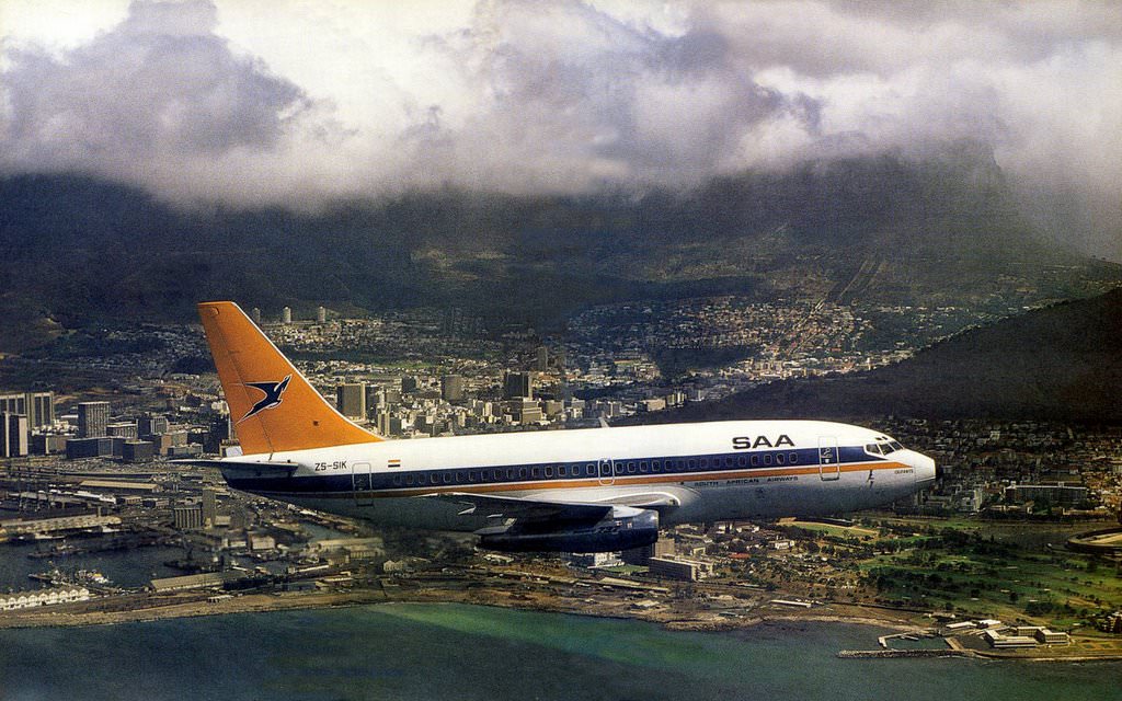
South African Airways operated a domestic and international network throughout the 1980s, though the airline faced mounting pressure as more countries joined international boycotts of South Africa. The Boeing 737 named Olifants, seen here over Granger Bay in 1985, was part of a fleet that kept the country connected even as its global standing deteriorated.
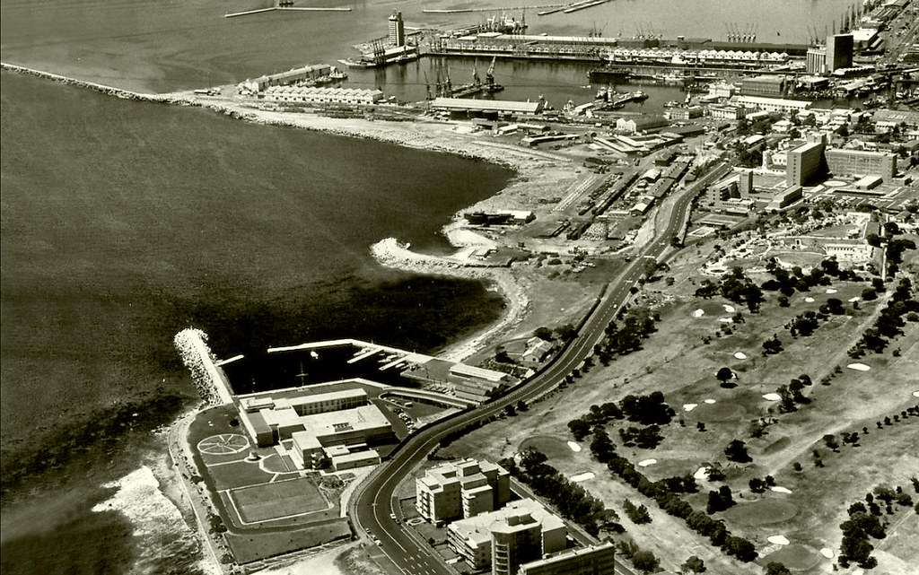
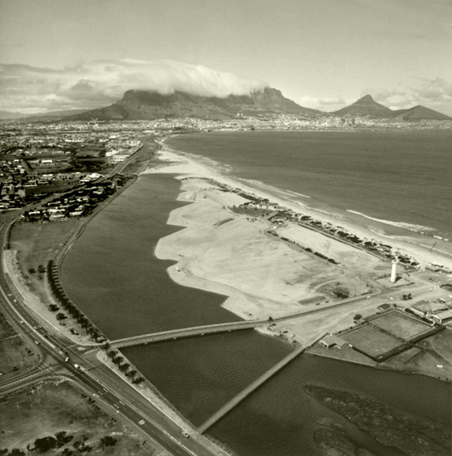
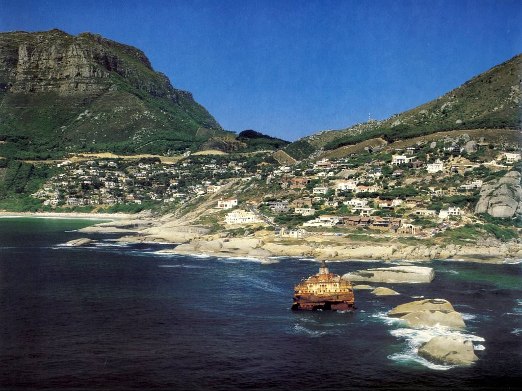
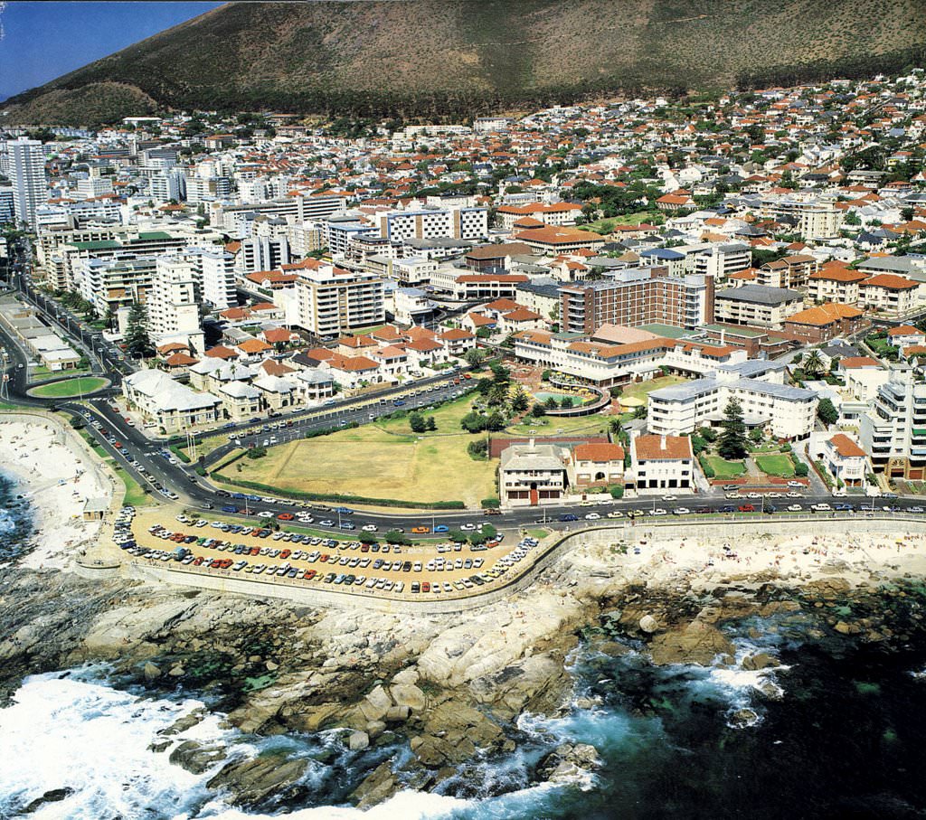
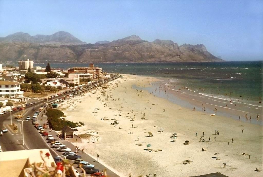
Along the Atlantic coastline, Cape Town’s famous beaches and coves remained popular gathering spots — though beach access was also officially segregated under apartheid. Certain beaches were designated for whites only, and others for Black and Coloured residents. Enforcement varied in practice, but the laws remained on the books until the late 1980s when the government began gradually scrapping some petty apartheid measures.
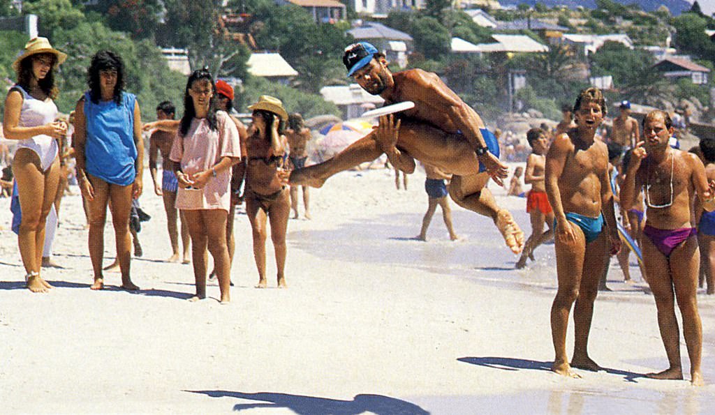
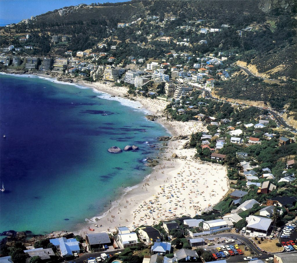
Clifton’s four beaches were among the most photographed spots in Cape Town. Sheltered from the southeaster wind by the rocky cliffs of Lion’s Head, they were a world apart from the political tensions of the townships and the CBD. The beaches attracted sunbathers and swimmers throughout summer, a visible slice of the leisure culture that existed alongside — and often in sharp contrast to — the hardships of apartheid.
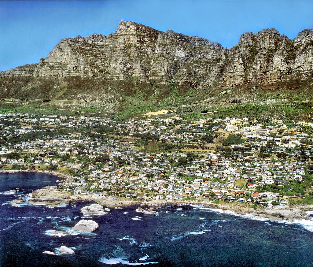
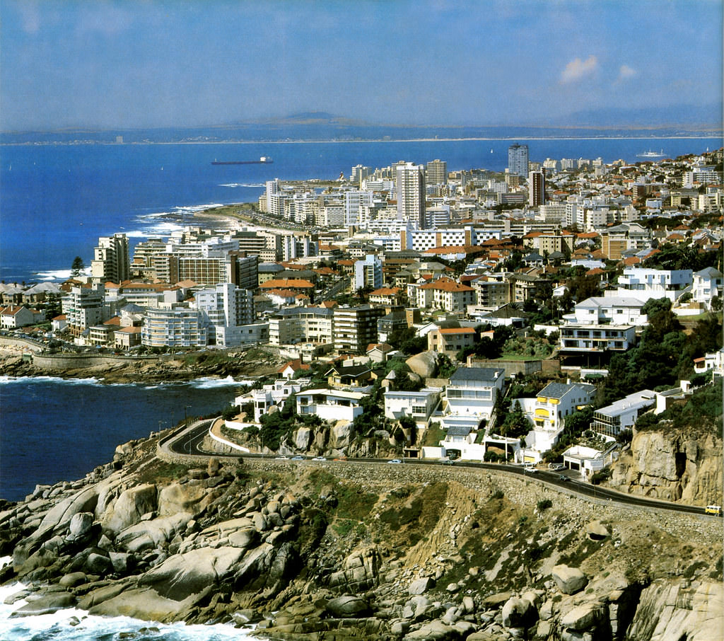
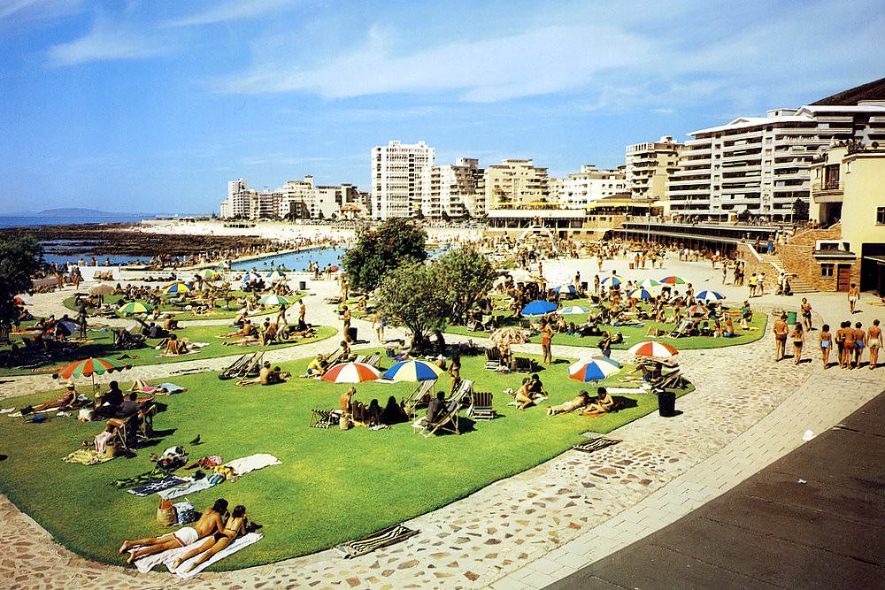
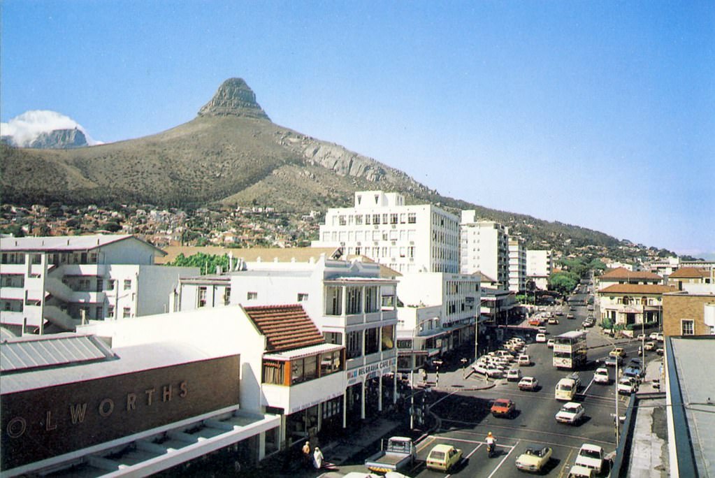
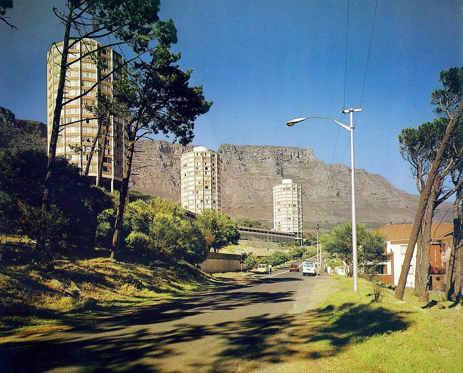
Sea Point, just north of Clifton, was a densely built suburb of apartment blocks rising above the Atlantic. Its seafront promenade and public swimming pool made it one of the most active recreational areas in Cape Town, drawing residents from across the surrounding suburbs.
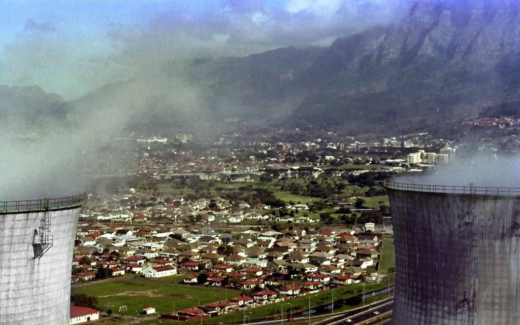
The southern suburbs spread out below the mountain, running through areas like Rondebosch, Claremont, and Constantia. These were predominantly white residential areas under apartheid, with large homes, established schools, and leafy streets that looked nothing like the crowded townships on the Cape Flats.
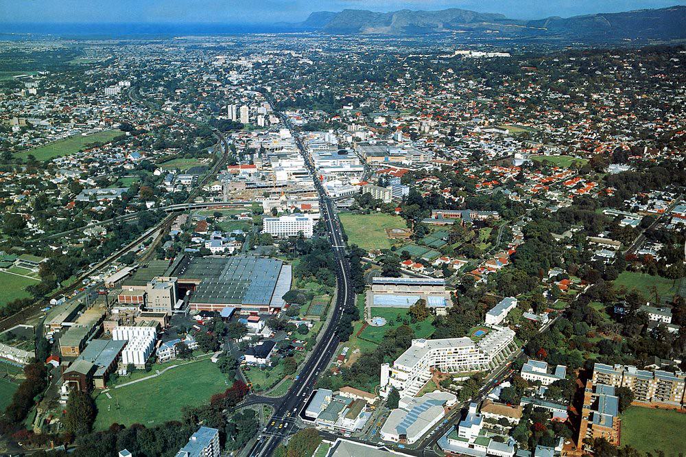
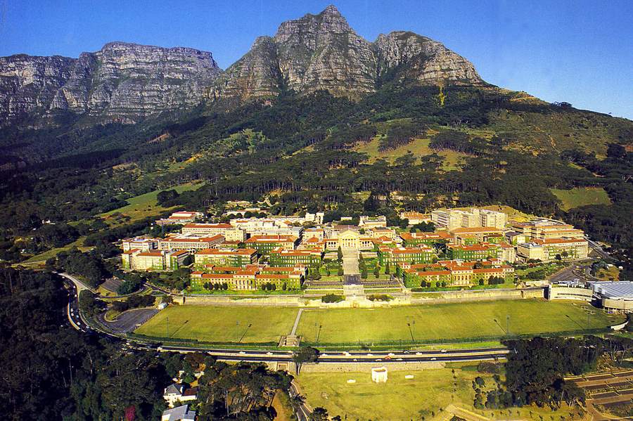
The University of Cape Town sat on the slopes of Devil’s Peak in Rondebosch, its white-colonnaded Jameson Hall visible from much of the southern suburbs. UCT was a site of significant student activism throughout the 1980s, with protests against apartheid occurring regularly on campus. The university was officially non-racial in its admissions policy from the early 1980s, which put it at odds with government policy.
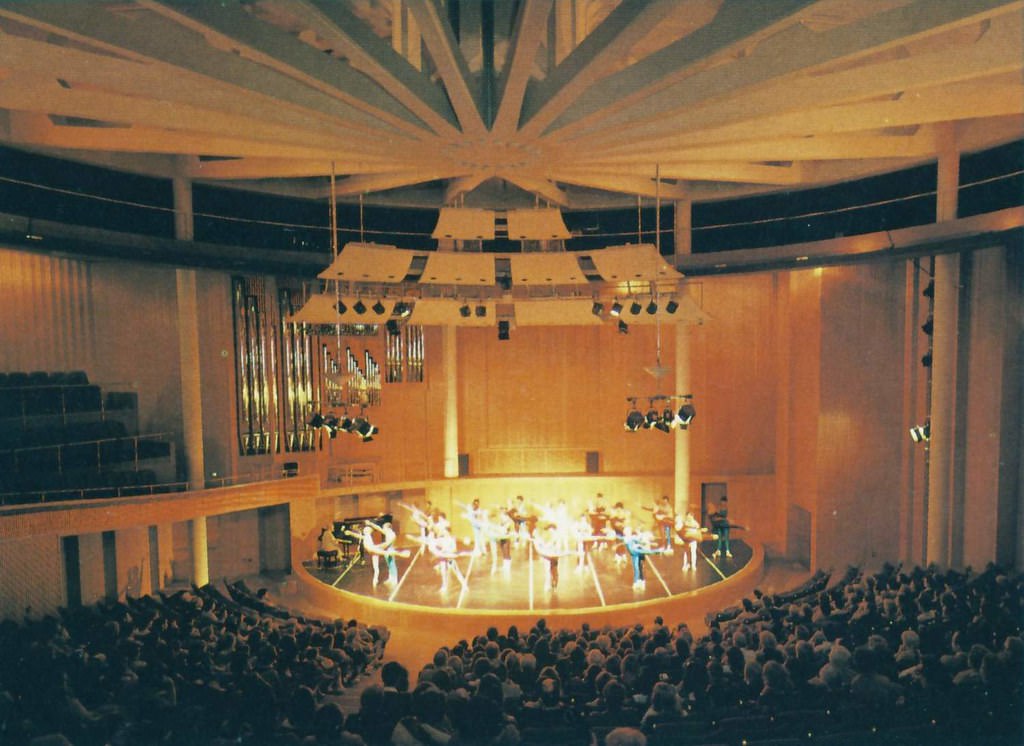
The Baxter Theatre, located on the UCT campus, was a key venue for Cape Town’s arts scene during the 1980s. Artists, playwrights, and musicians used the stage to confront apartheid directly — works that were sometimes banned or had their productions disrupted. Theatre became one of the sharpest tools of protest culture in the city.
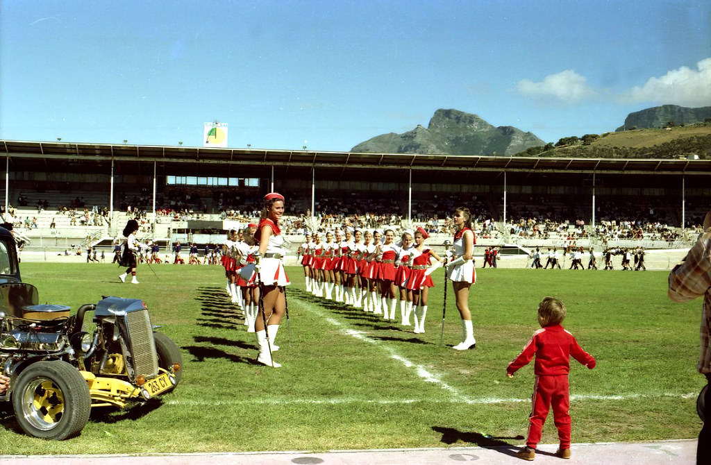
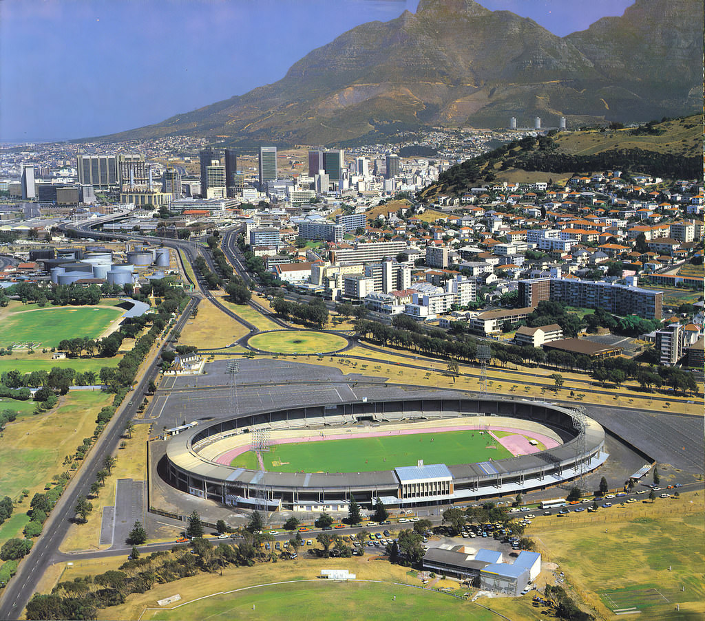
Sport was deeply political in 1980s Cape Town. Rugby, historically the sport of Afrikaner identity and white South Africa, faced international isolation. South Africa had been barred from the Olympics since 1964 and excluded from international rugby following the 1981 Springbok tour controversy. Green Point Stadium hosted local matches during this period, but the grand stages of international competition were closed to South African teams.
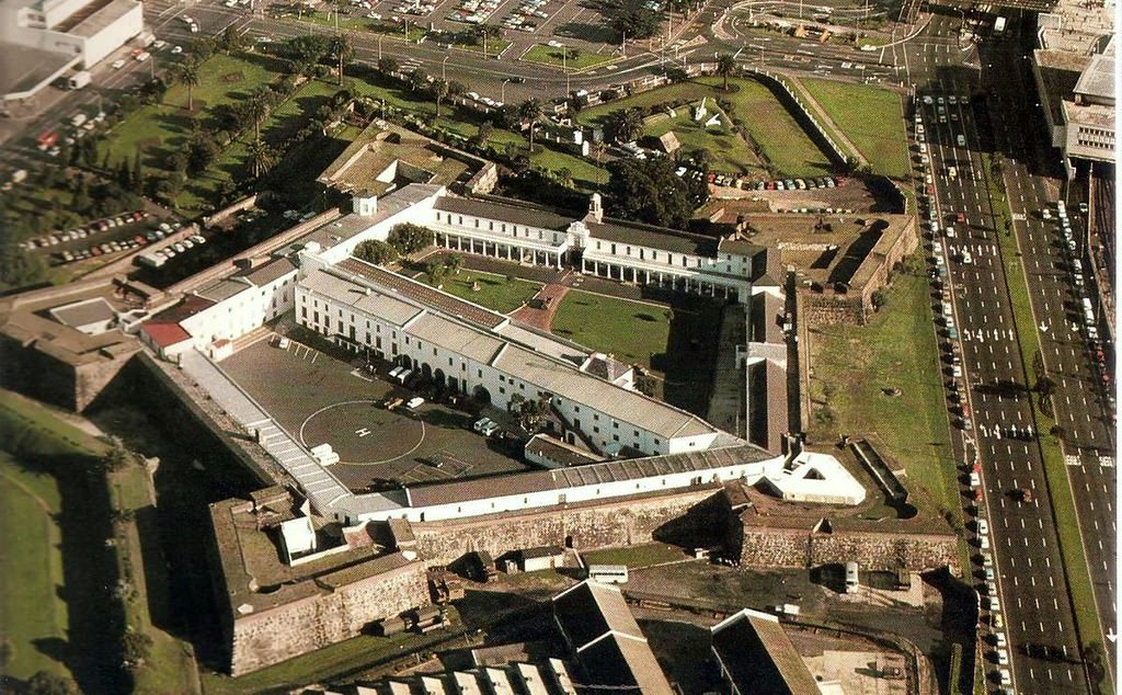
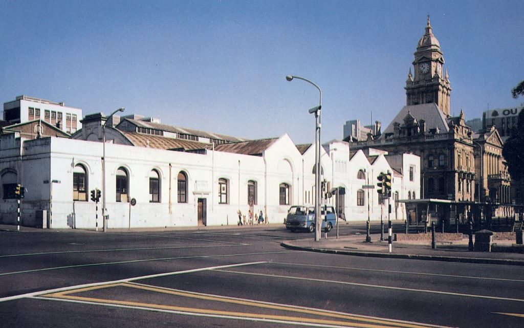
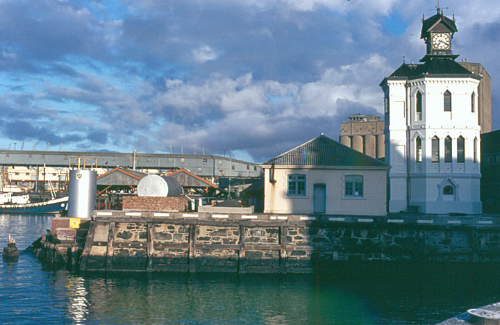
Away from the political flashpoints, daily life in Cape Town had its own rhythms and textures. The city’s older buildings — from the Castle of Good Hope to the colonial-era streetscape of the CBD — stood as reminders of how long the Cape had been a meeting point of cultures and powers.
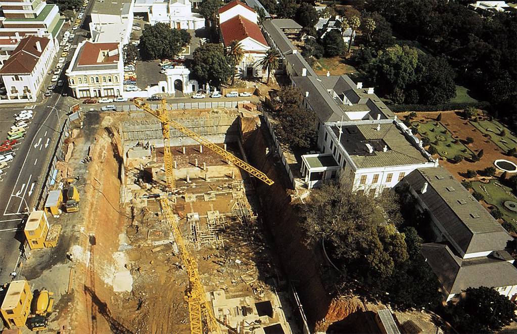
Parliament sat at the top of Government Avenue in the Gardens, surrounded by oak trees and institutional buildings. Stal Plein, directly in front of the parliamentary precinct, was undergoing construction in 1984 to create underground parking — a very different kind of activity from the legislative battles happening inside the building above.
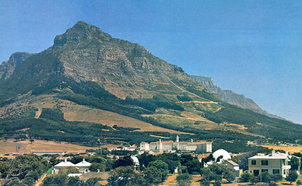
The South African Astronomical Observatory in Observatory — one of the oldest scientific institutions in the Southern Hemisphere — continued its work throughout the decade, tracking the night skies from its position on the slopes above the Salt River floodplain. The suburb that grew around it took its name from the Observatory itself.
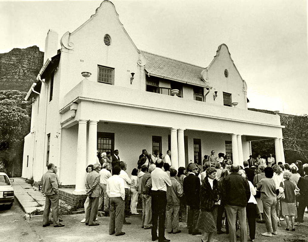
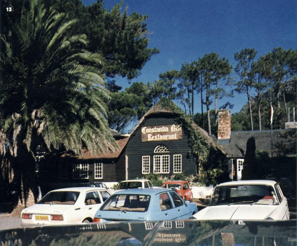
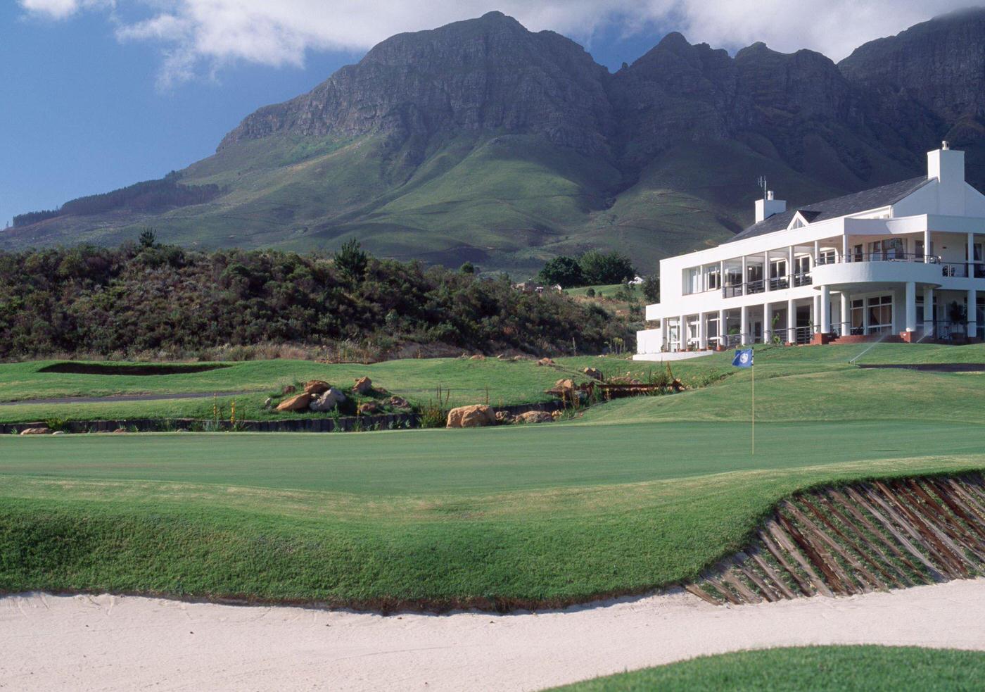
The Oudekraal Manor House on the Atlantic seaboard, the Constantia Nek restaurant in the Constantiaberg mountains, and the Erinvale Golf Club near Somerset West each represented a different face of Cape Town — one shaped by colonial-era architecture, scenic landscapes, and leisure culture that remained largely insulated from the upheaval elsewhere.
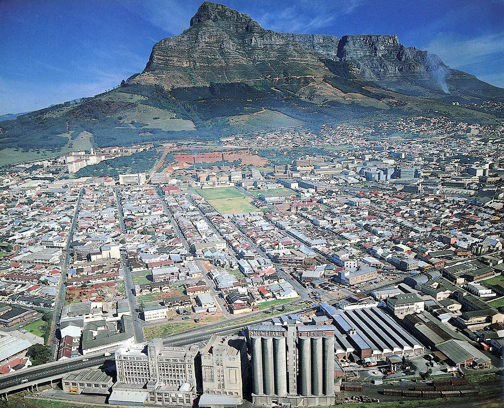
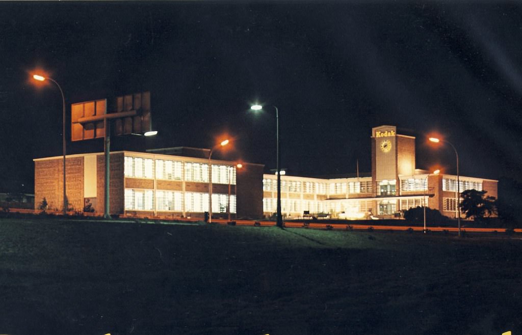
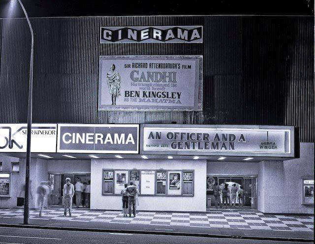
The Kodak Building along the Black River Parkway and the Cinerama cinema in Rosebank were both part of a Cape Town that was modernizing — new commercial and entertainment spaces appearing alongside a heritage streetscape that still carried the imprint of decades past. The Kodak Building relocated from the city centre to its new premises along the Black River Parkway in the late 1960s, and by the 1980s it had become a recognizable feature of that corridor.
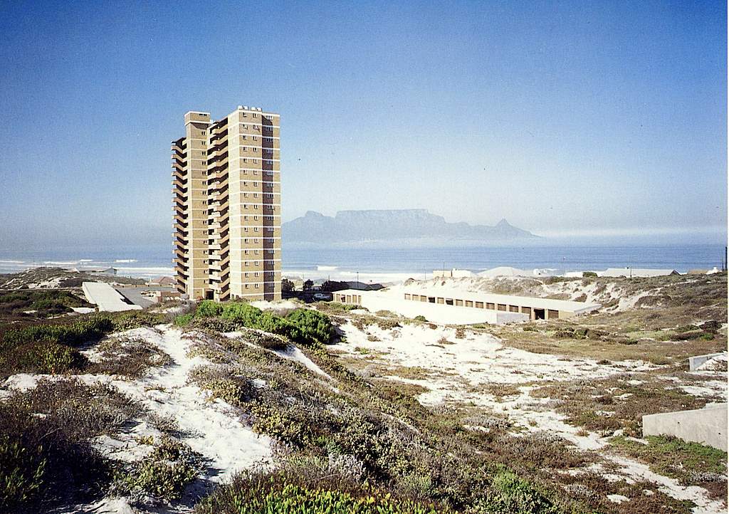
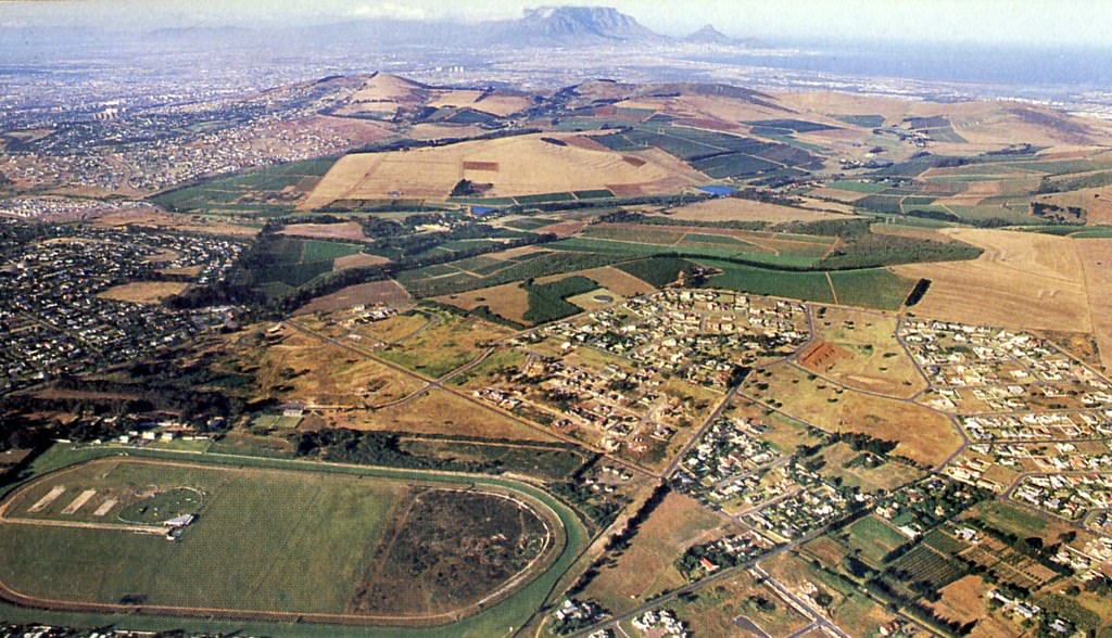
Across the northern suburbs, areas like Durbanville and Milnerton had their own quieter pace — suburban streets, shopping centres, and the broad open spaces of the Cape Flats stretching toward the mountains on the horizon.
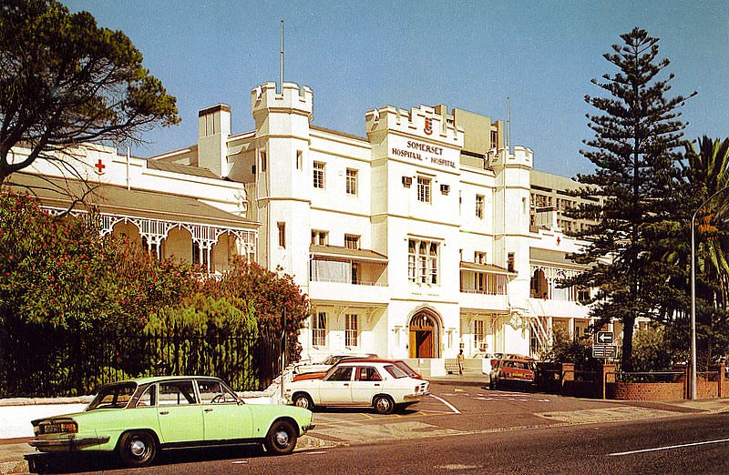
Somerset Hospital in Green Point, one of the oldest hospitals in South Africa, continued to serve patients throughout the decade. Its history stretched back to 1818, and by the 1980s it had grown considerably from its original structure, though the older portions of the building remained.
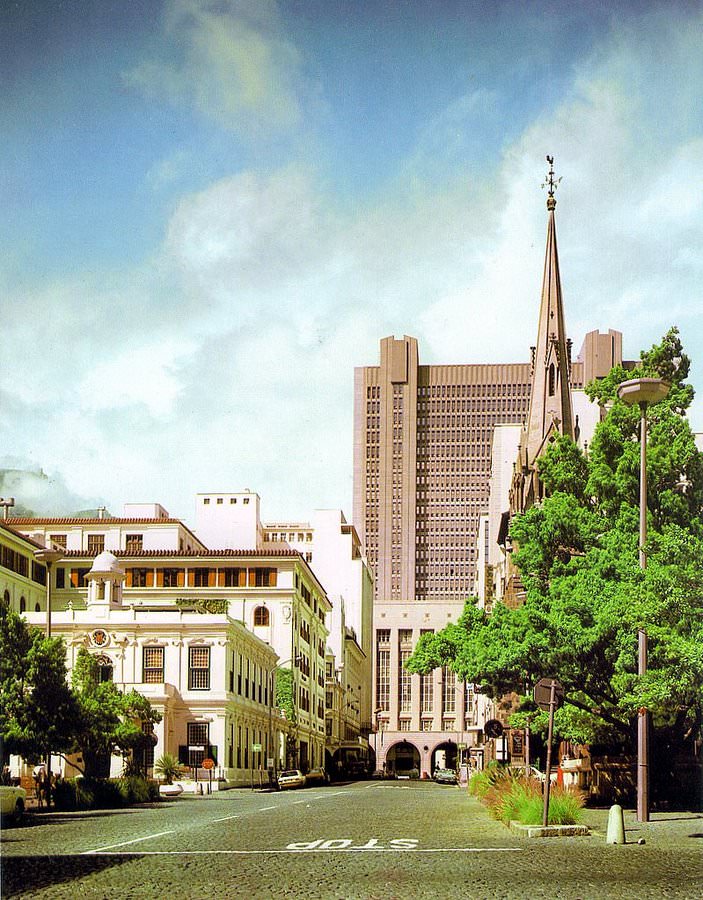
The streets of the CBD — Strand Street, Heerengracht, Church Street, Orange Street, and the others captured in these photographs — give a ground-level picture of what it felt like to move through Cape Town in the 1980s. Cars, buses, and pedestrians filling streets lined with a mix of Victorian buildings and mid-century office blocks.
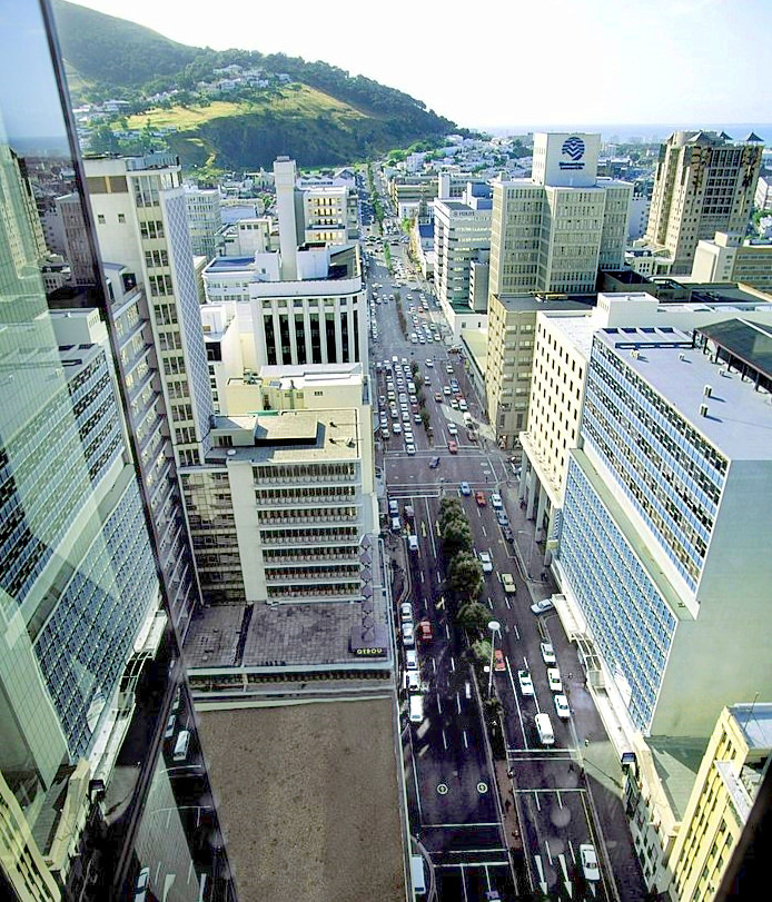
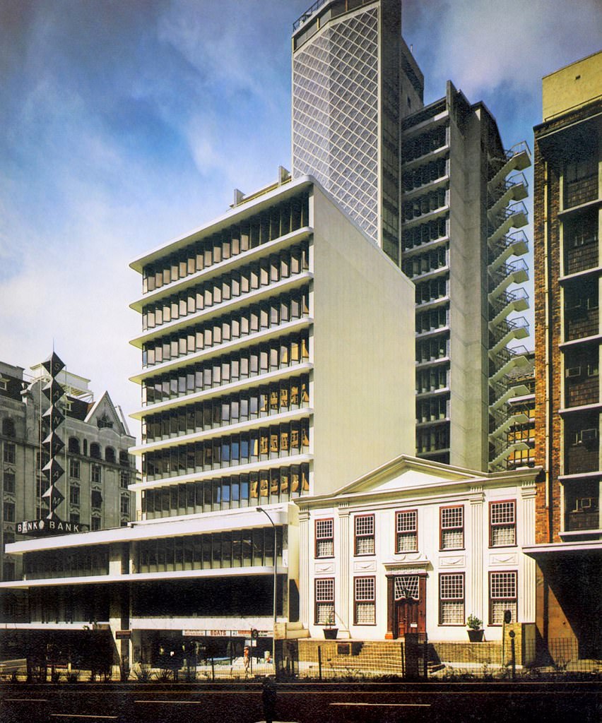
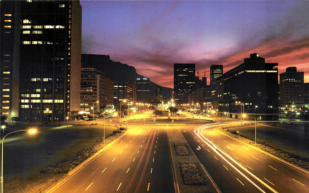
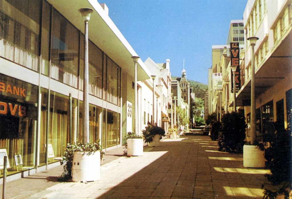
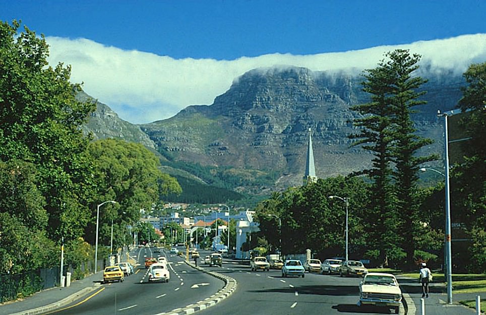
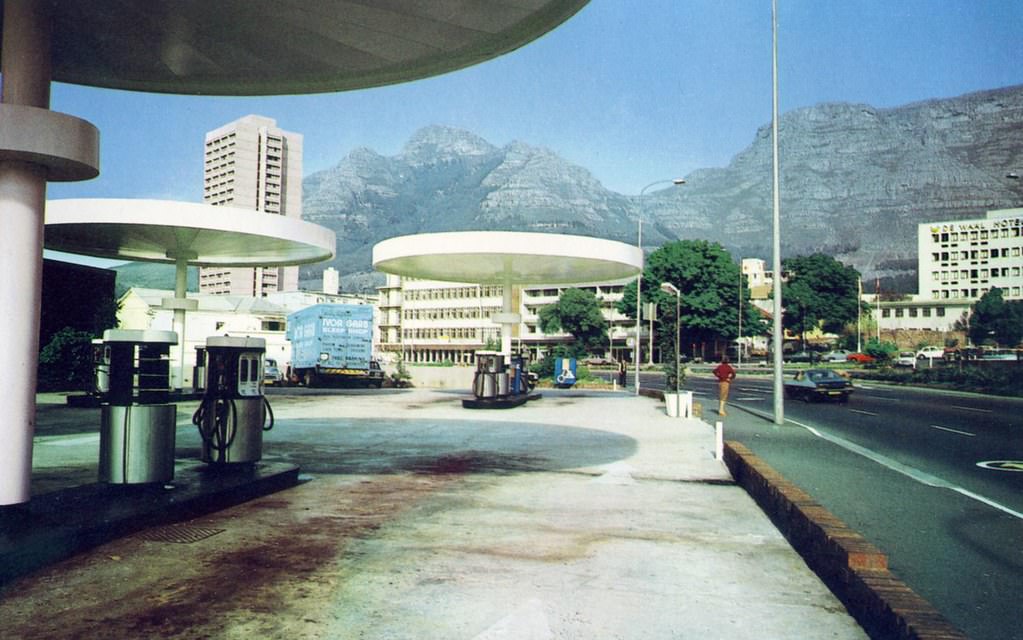
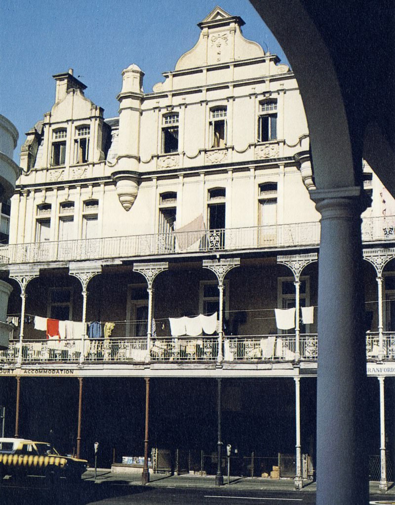
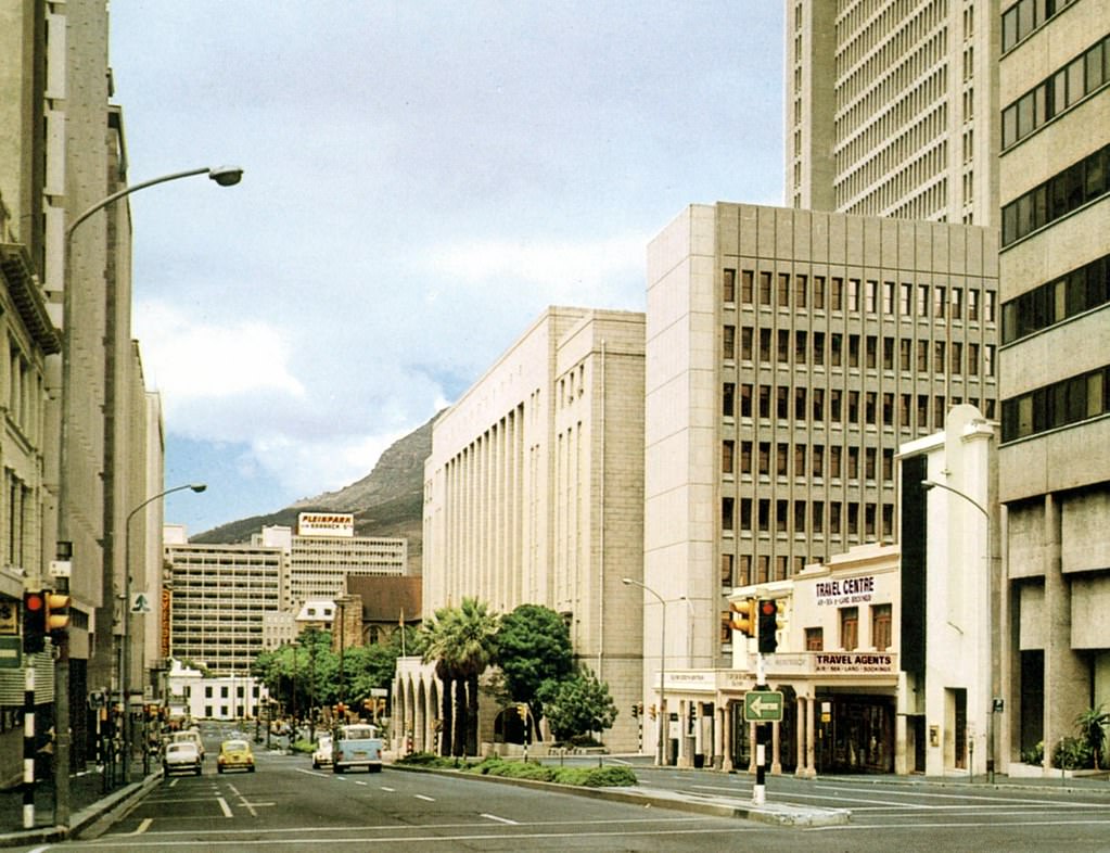
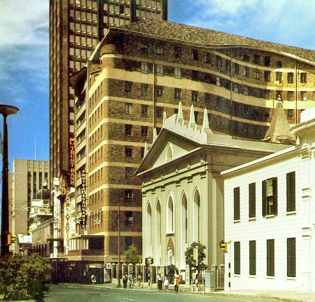
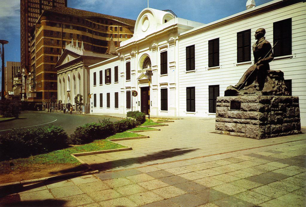
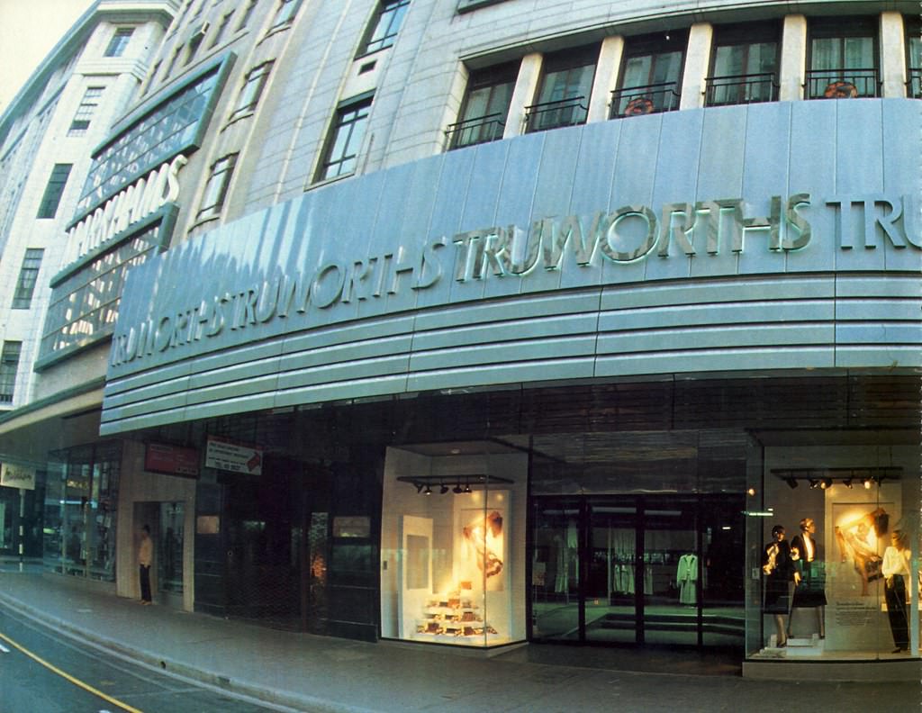
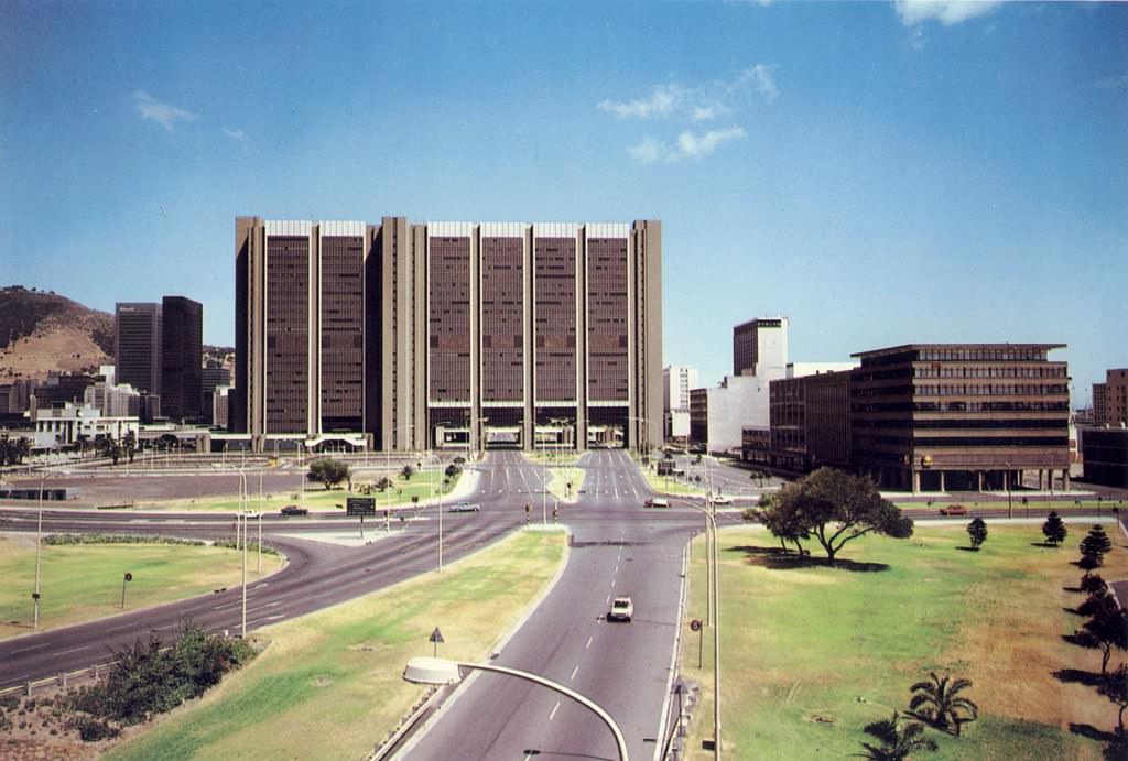
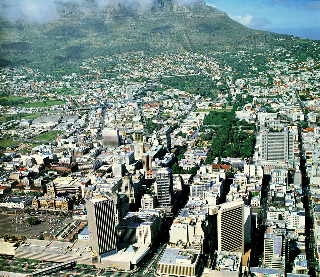
The City Bowl and the broader skyline shifted noticeably between the early and late 1980s. New buildings changed the silhouette, while older structures were either preserved or cleared. These aerial and elevated views capture that evolution clearly — a city in motion, its physical form changing even as the political structure around it strained under the weight of resistance and repression.
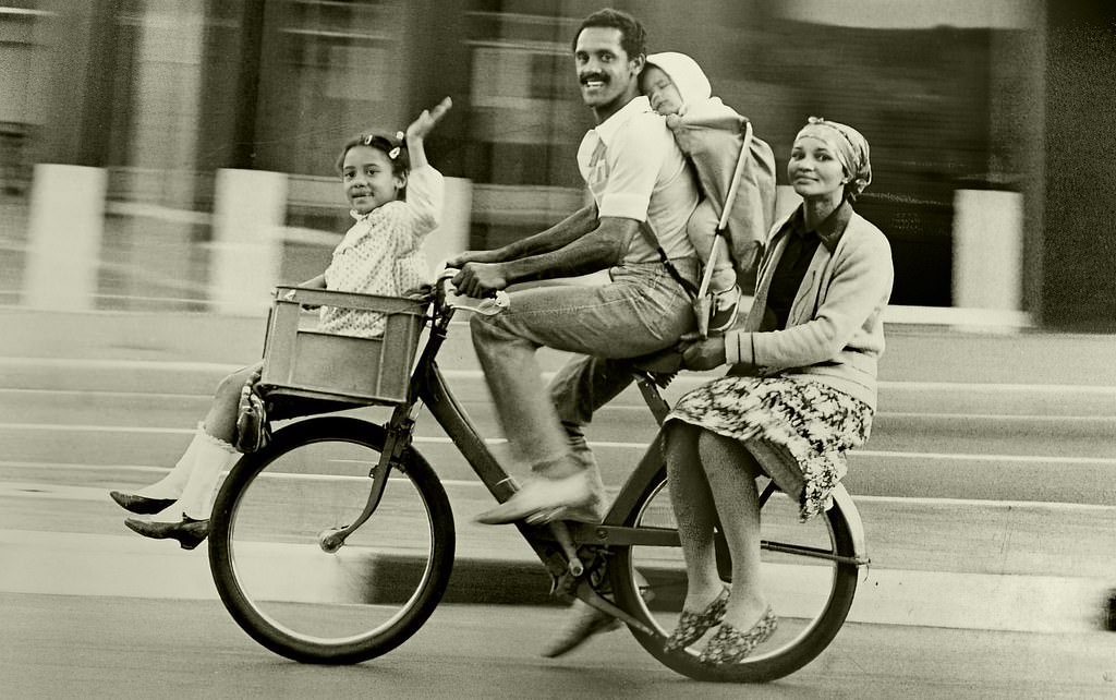
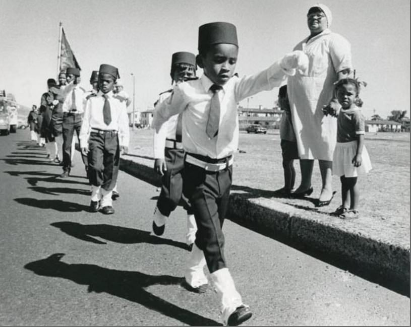
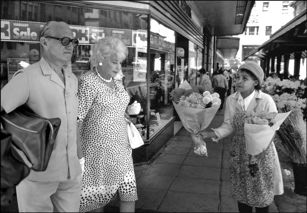
Some snapshots from the decade capture smaller, more personal moments — a bicycle built for four riders, a child introduced early to the camera, a store advertising its prices. These details fill in the texture of ordinary life in a city where extraordinary political events were unfolding at the same time.
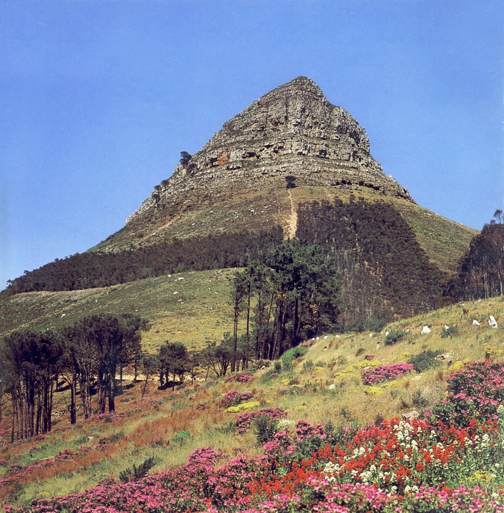
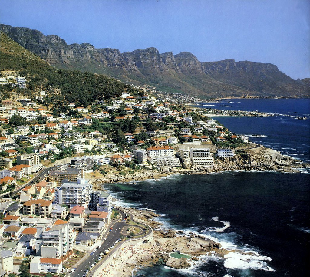
Lion’s Head in spring, the rocky coves of Bantry Bay, and the slopes of the City Bowl all appear in these photographs unchanged by the politics below. The mountain and the sea shaped Cape Town long before the apartheid state existed, and they carried on regardless of what was happening in the streets beneath them.





after seeing #45, I now understand why its called Green Point
Awesome collection thanks for sharing. But my gawd that site on a mobile fucken shockingly bad. The internet is dying
Was fine on my device, probably something to do with the browser or screen ratio you are using
What the hell were the vibes like in the 80s in CT anyways lol, must have been weird considering how insane the rest of the country was getting
You do know the Trojan Horse Massacre that garnered disgust was in Cpt Athlone 1985 right?