In the early 1970s, the U.S. Environmental Protection Agency launched the DOCUMERICA project, sending photographers across the country to document the state of the American environment. Staten Island, New York’s most overlooked borough, became one of their key subjects. What the cameras captured was a place caught between rapid growth and serious environmental decay — a place where industry, garbage, and development were reshaping the land faster than anyone could manage.
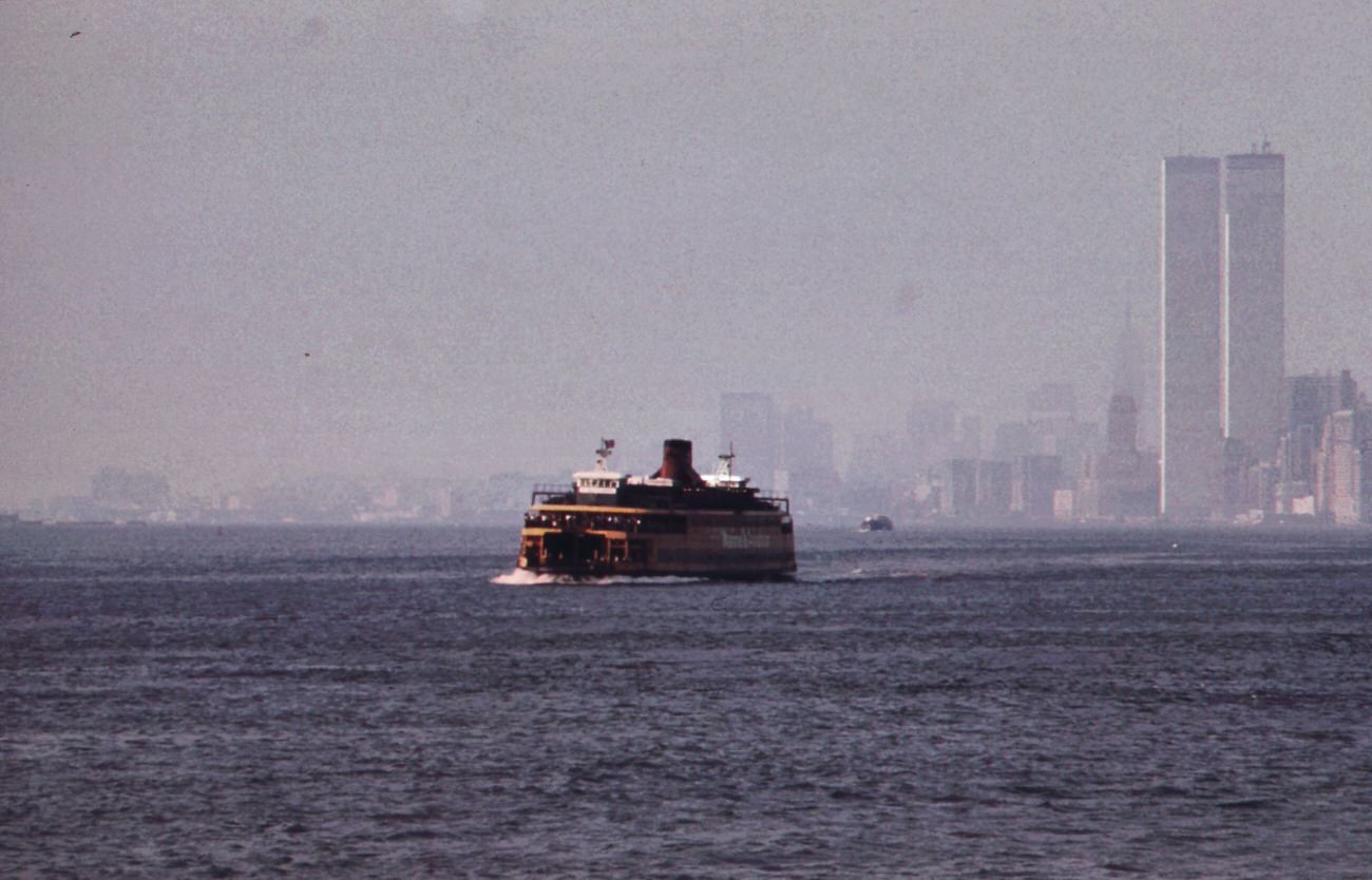
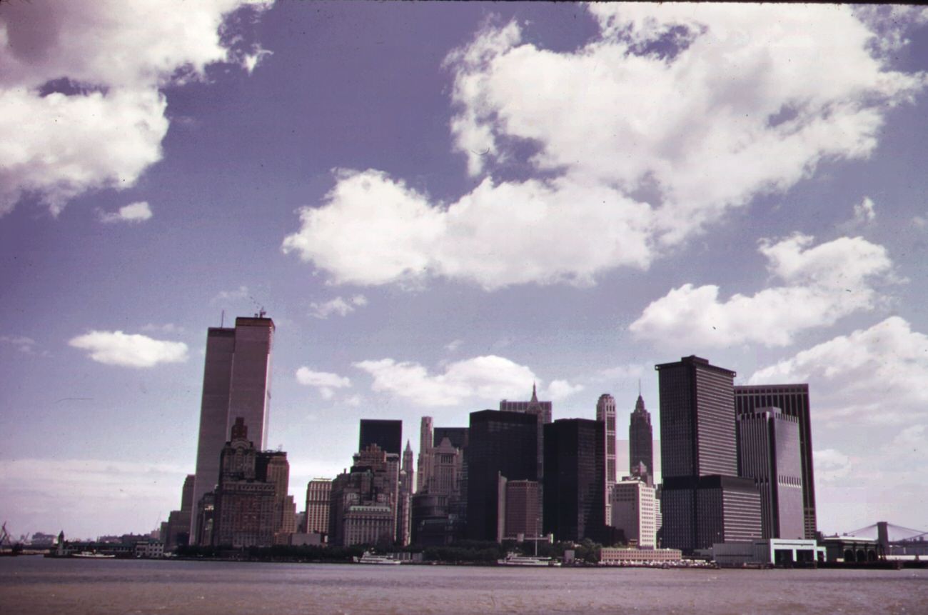
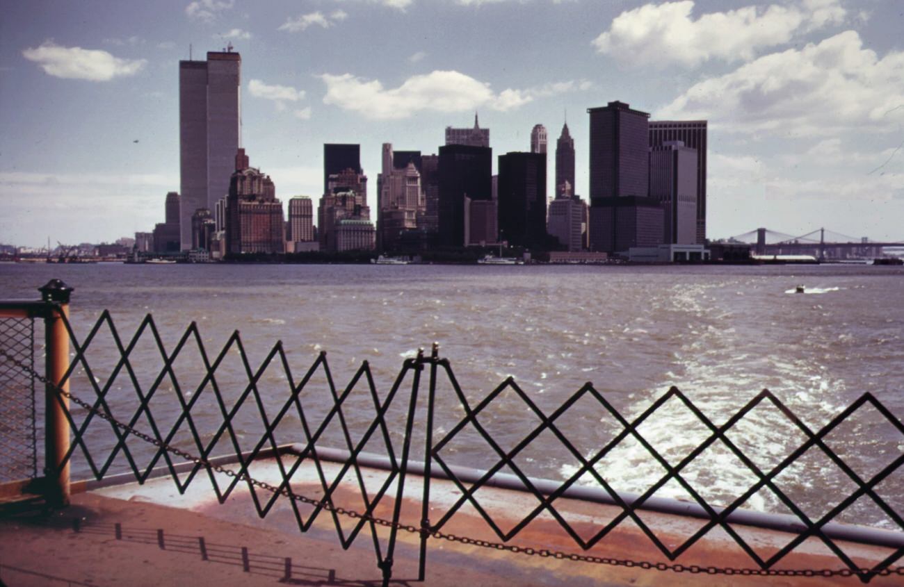
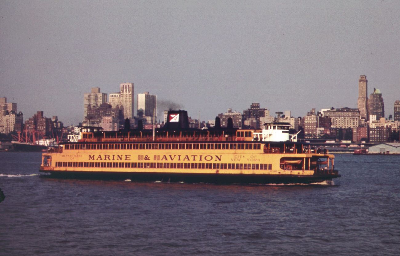
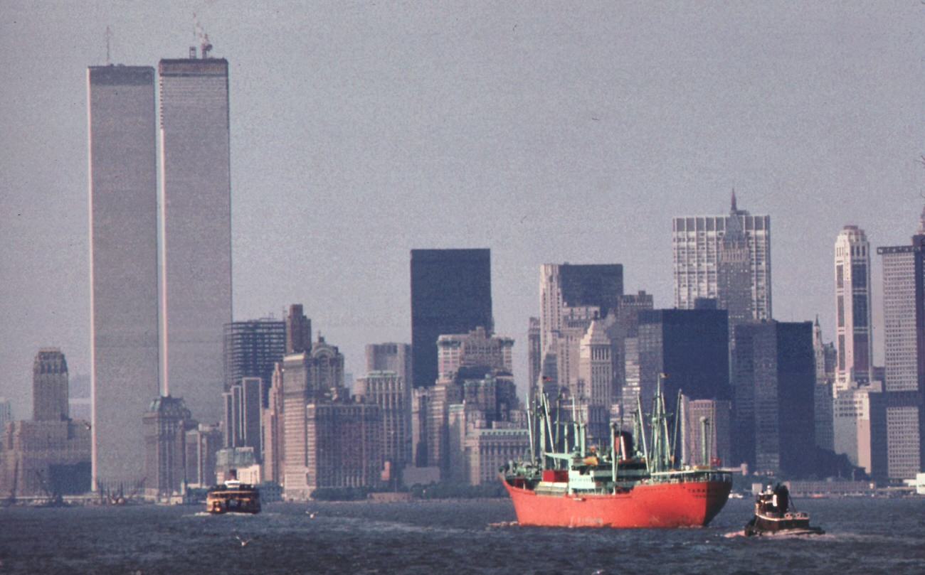
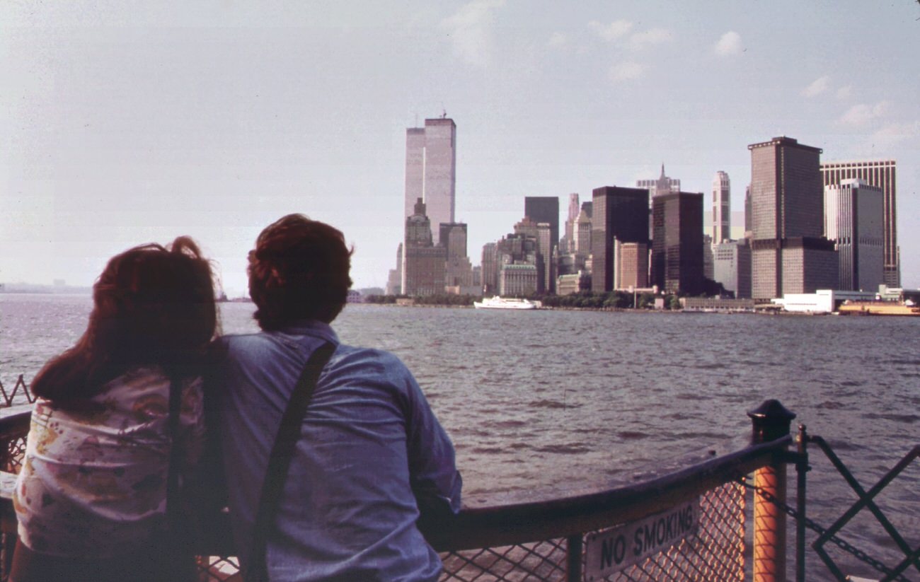
Staten island ferry with smog-obscured skyline of lower manhattan in background. On the right are the twin towers of the world trade center overlooking the hudson river, 1970s
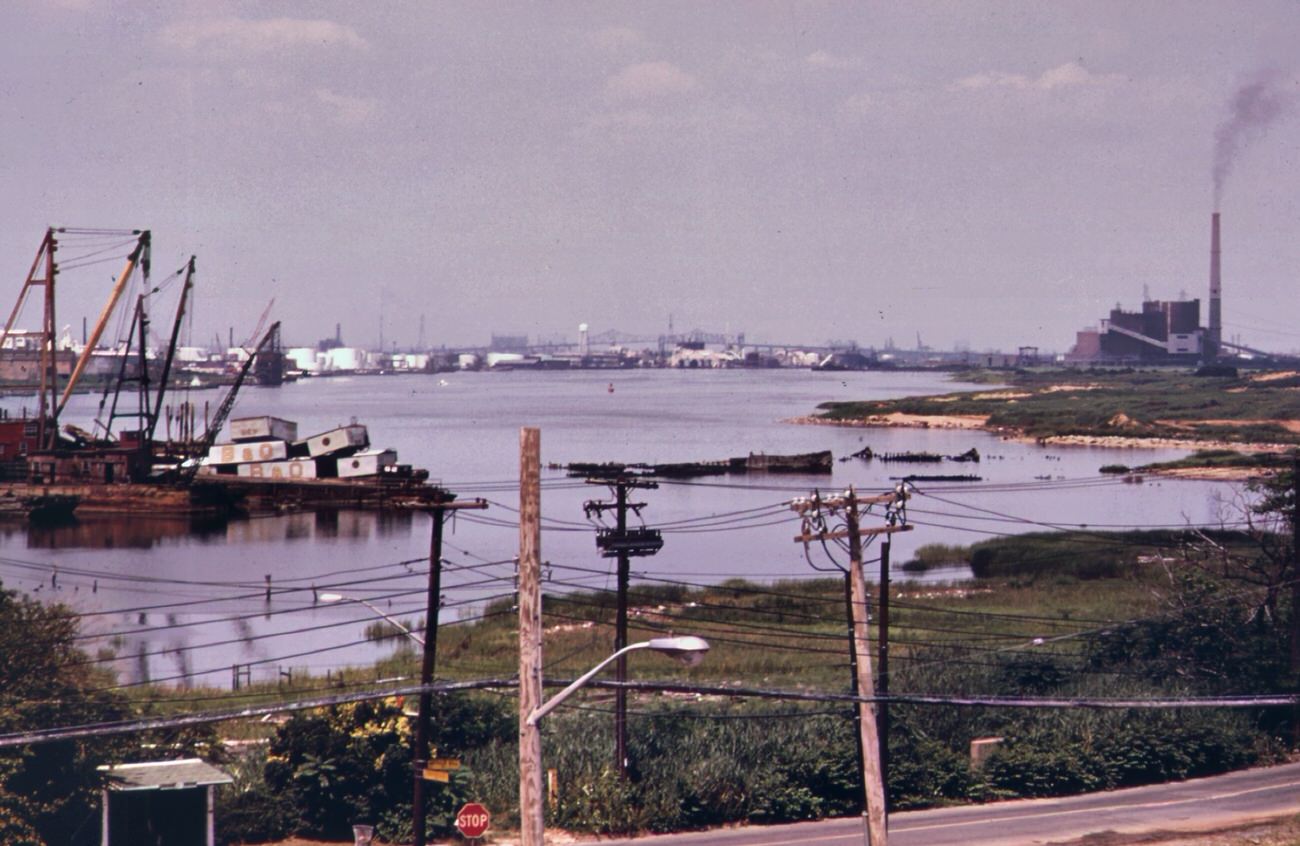
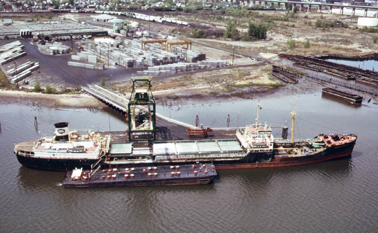
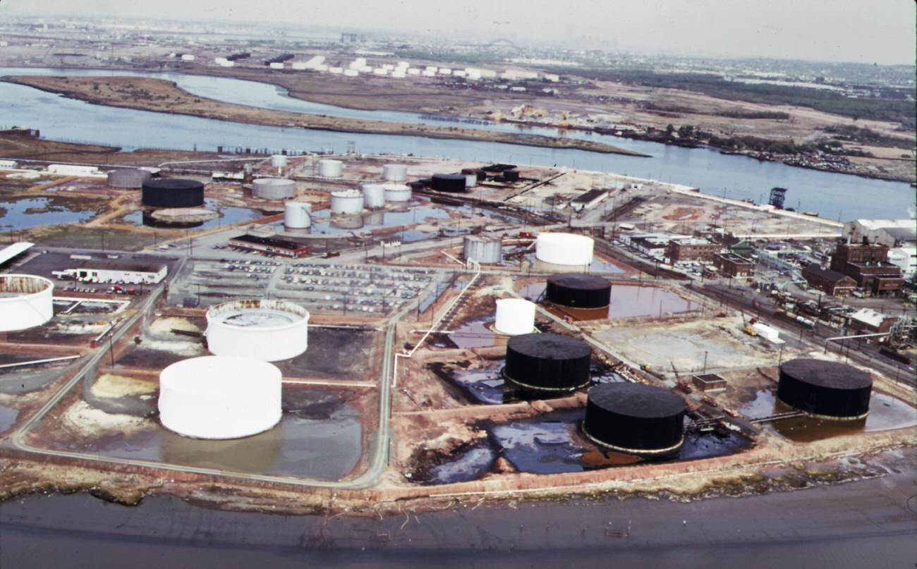
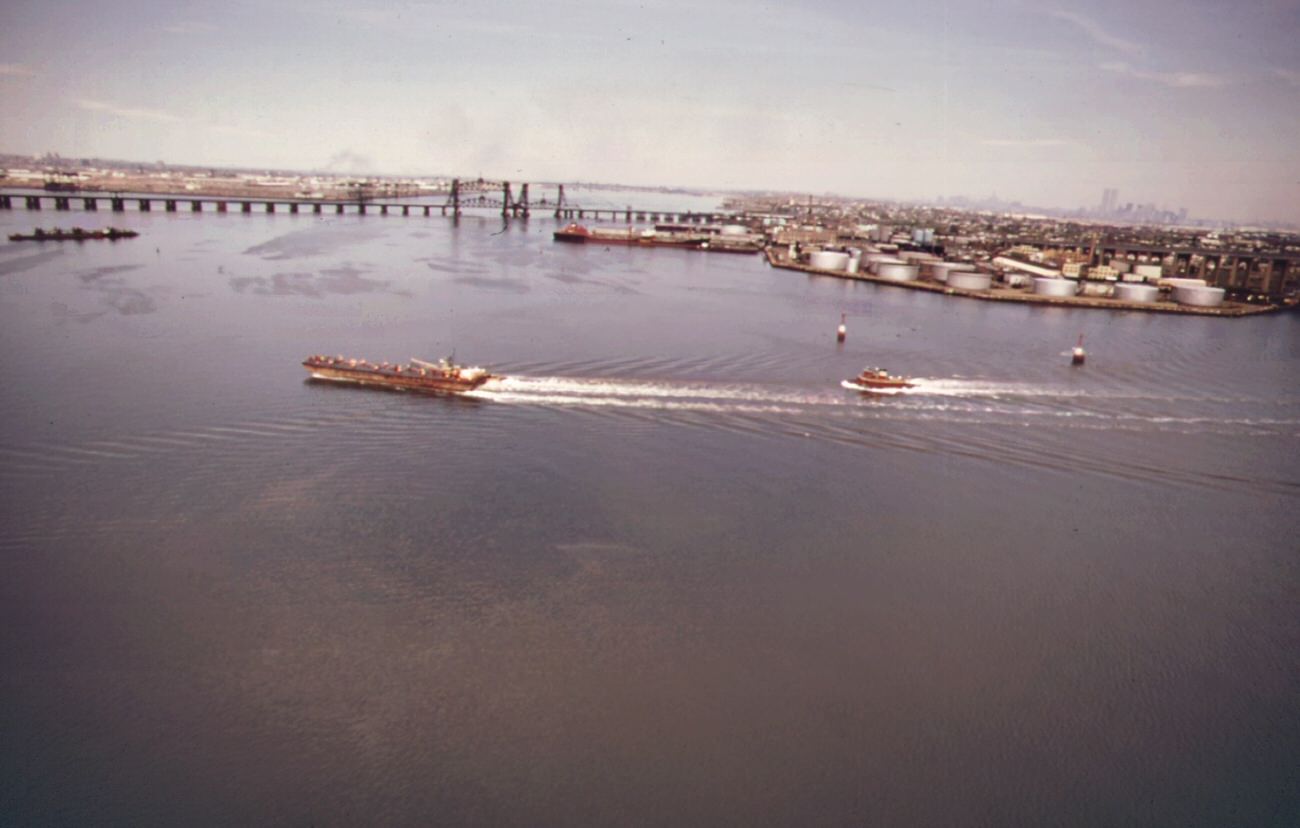
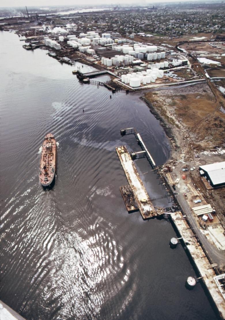
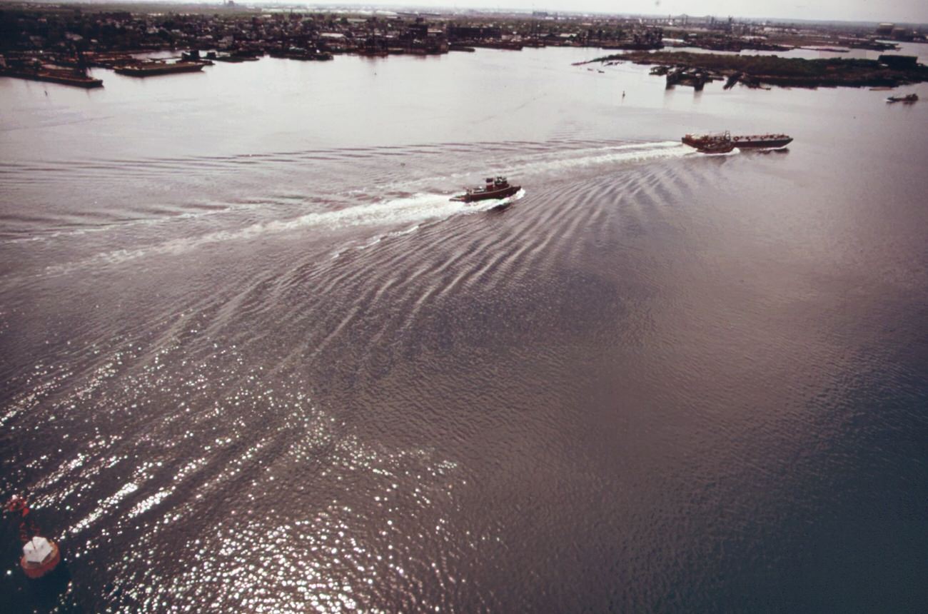
Air quality across the borough was poor. Manufacturing facilities and power plants released high levels of particulate matter and smog into the atmosphere. On many days, the Manhattan skyline visible from the Staten Island Ferry was blurred or partially hidden behind a thick haze. The Arthur Kill waterway, which separates Staten Island from New Jersey, was lined with petrochemical plants, oil tankers, and storage tanks — all of them contributing to the pollution hanging over the region.
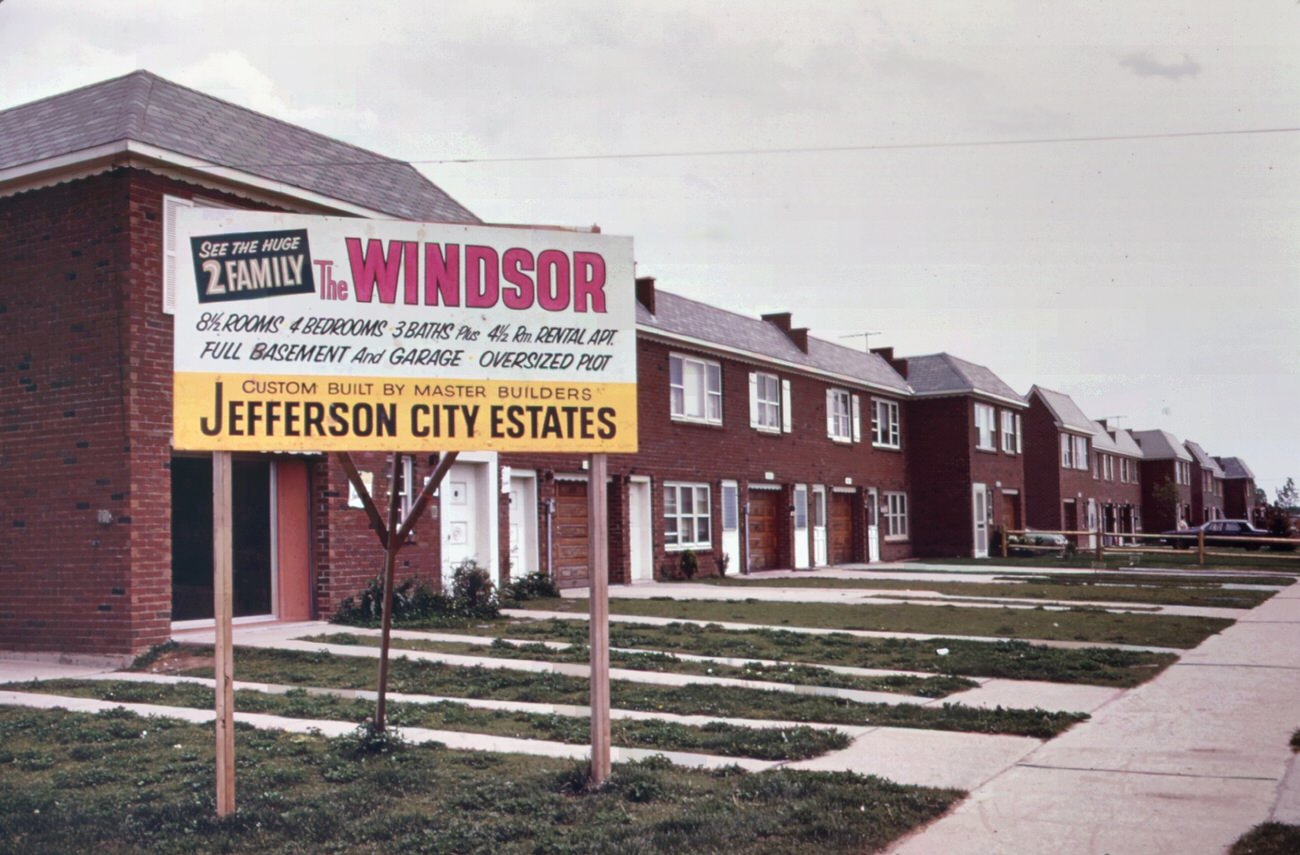
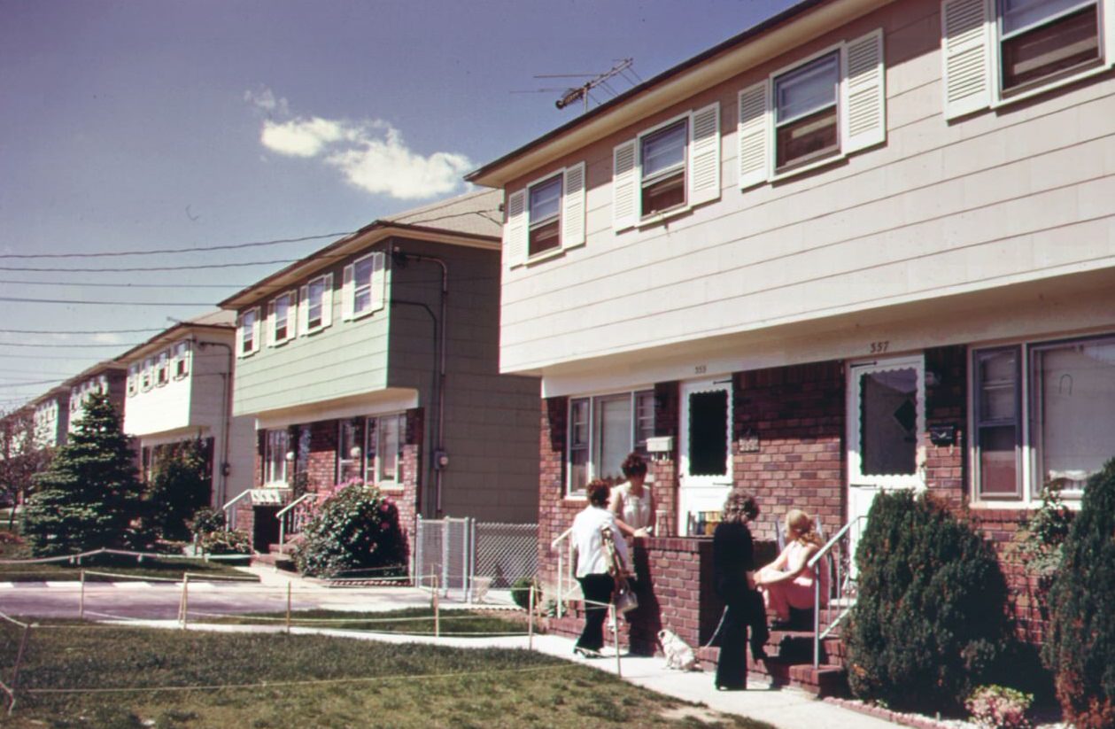
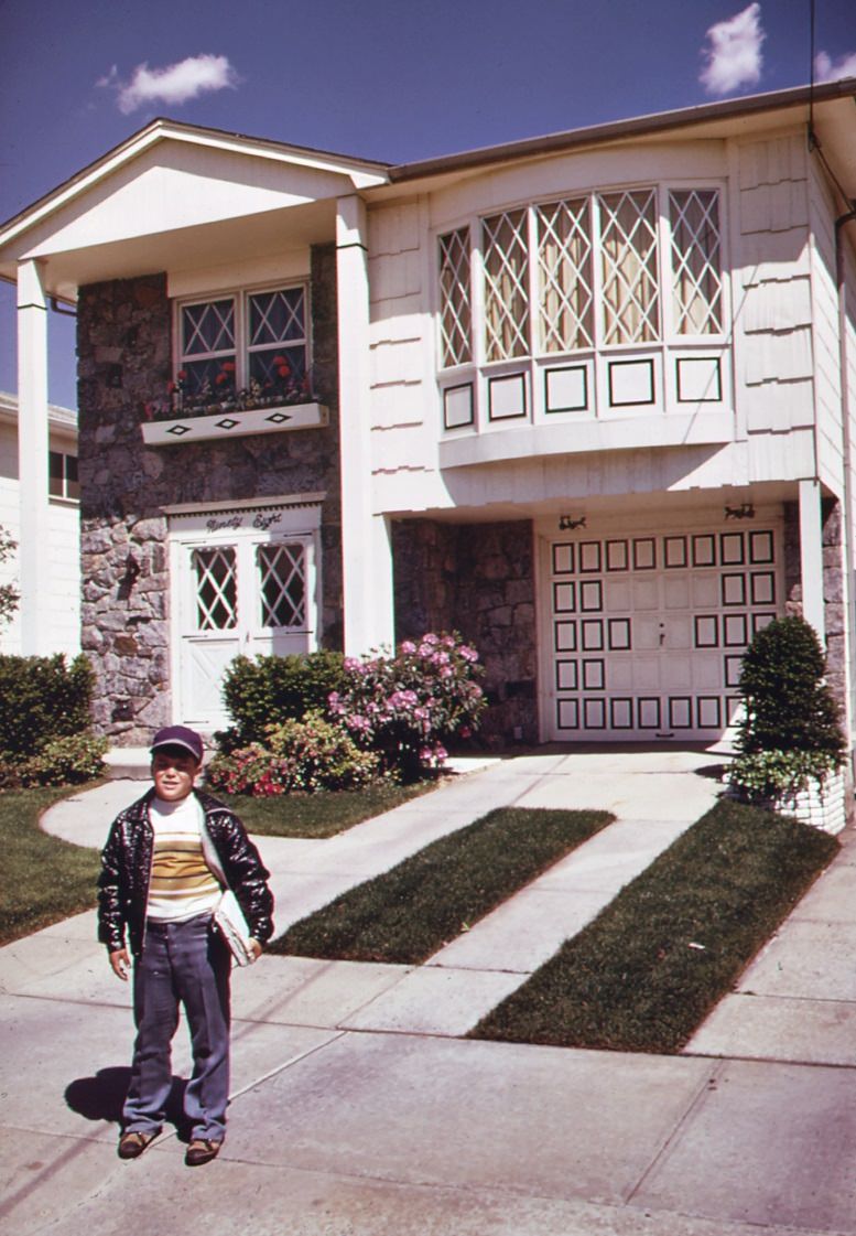
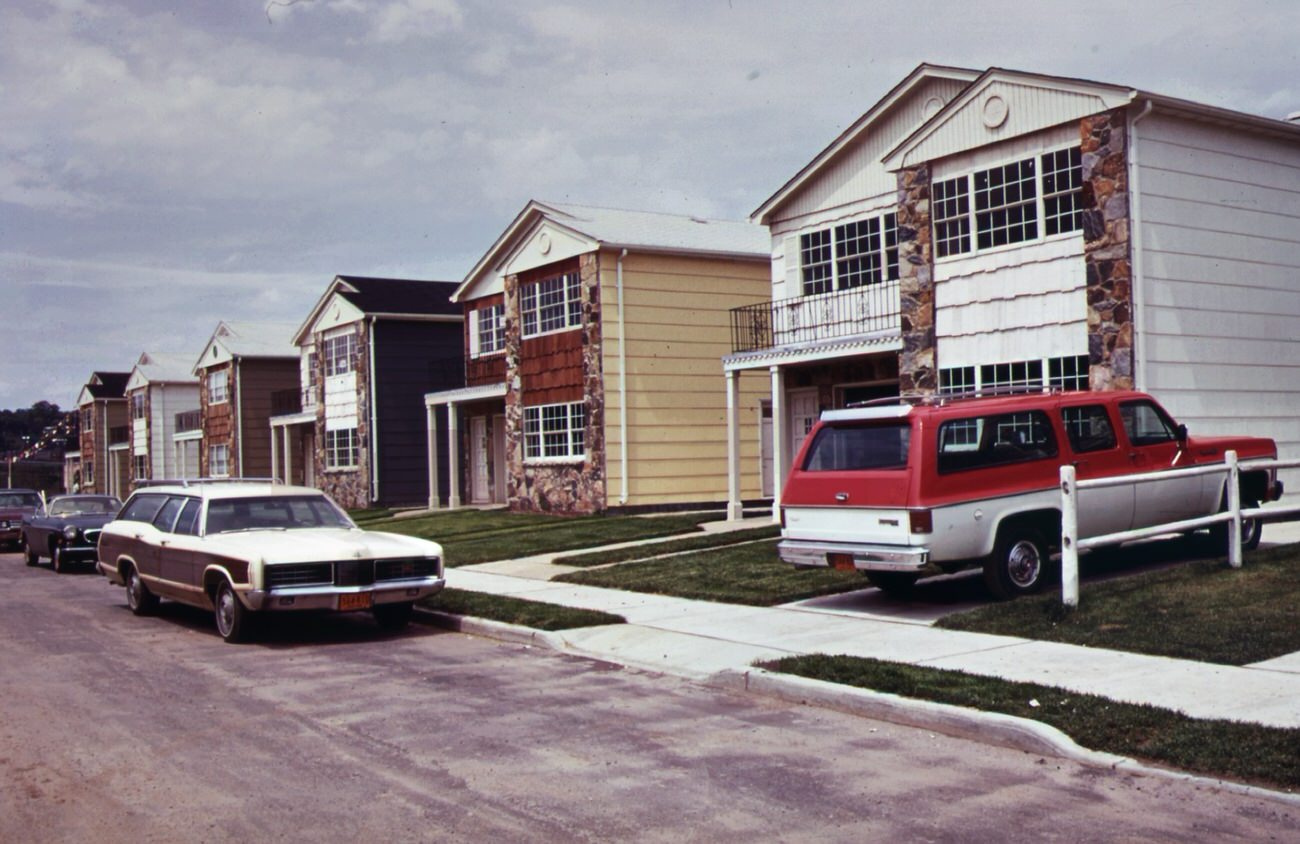
New housing on staten island, 1970s
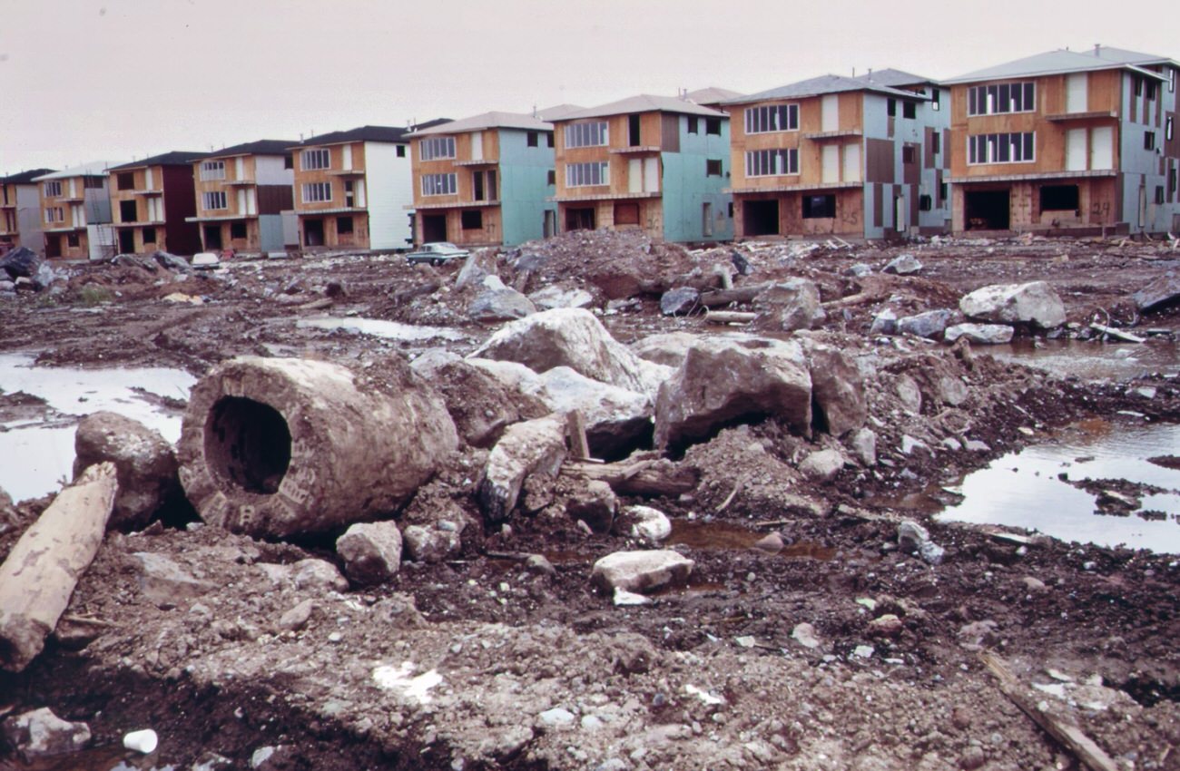
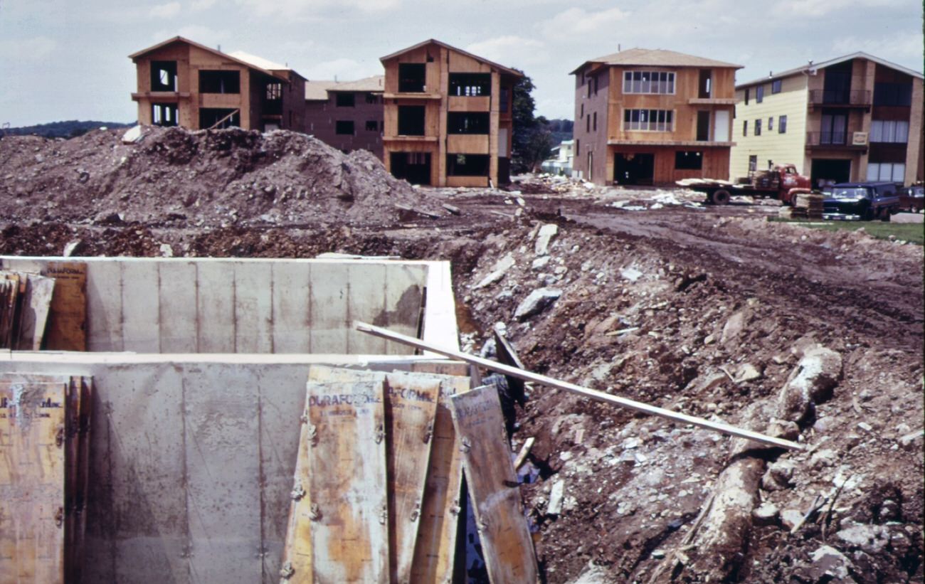
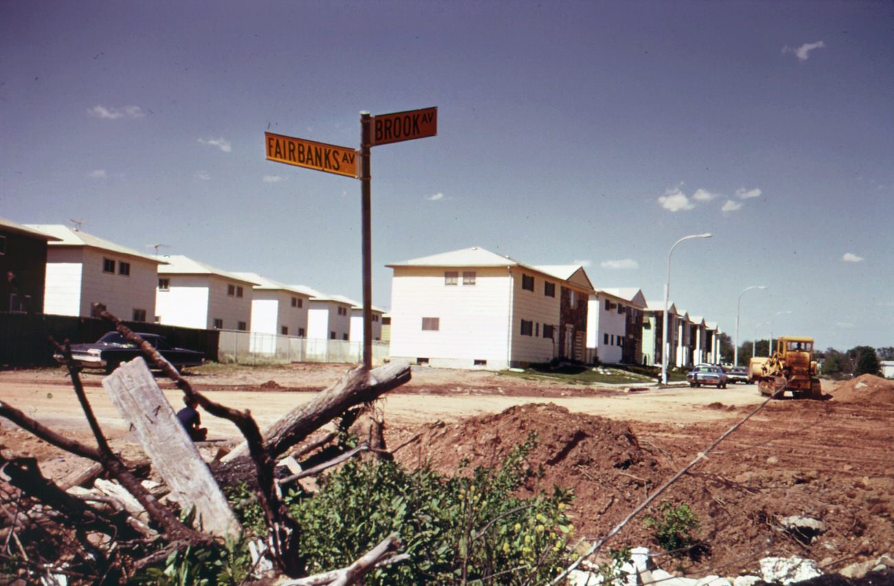
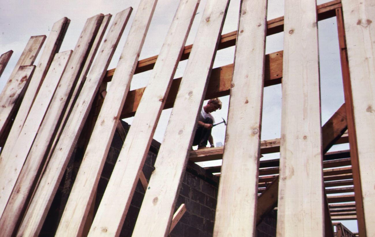
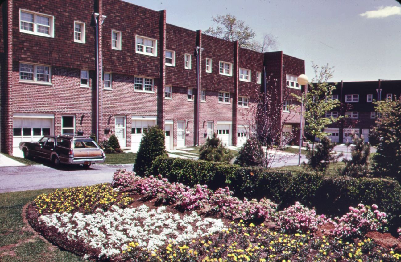
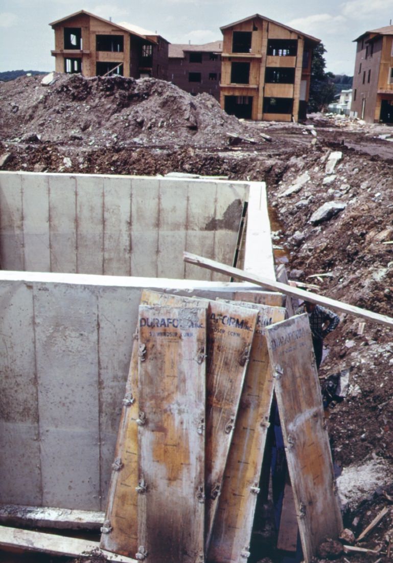
Much of this industrial buildup happened alongside a construction boom. The completion of the Verrazzano-Narrows Bridge in 1964 opened Staten Island to massive development. New neighborhoods expanded rapidly throughout the borough, with homes going up in areas like Grant City and Great Kills. Sewer lines were laid, roads were widened, and commercial strips grew along corridors like Hylan Boulevard. Natural habitats and wetlands were cleared to make space for all of it.
Sewer pipe ready for installation in grant city, staten island. All staten island is experiencing a building boom, a result of the completion of the verrazano-narrows bridge, 1970sBuilding boom on staten island was touched off by completion of the verrazano-narrows bridge which makes the area readily accessible to brooklyn and lower manhattan, 1970s
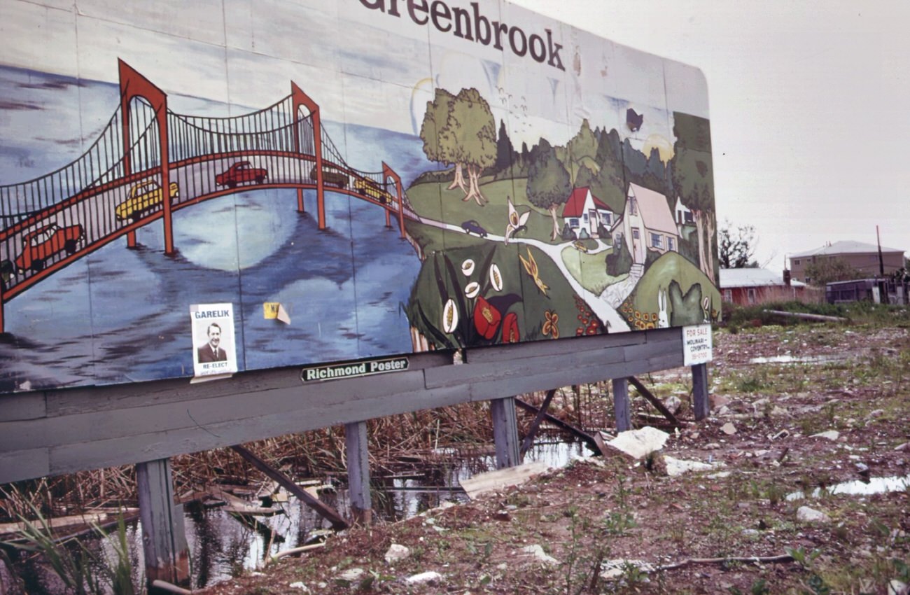
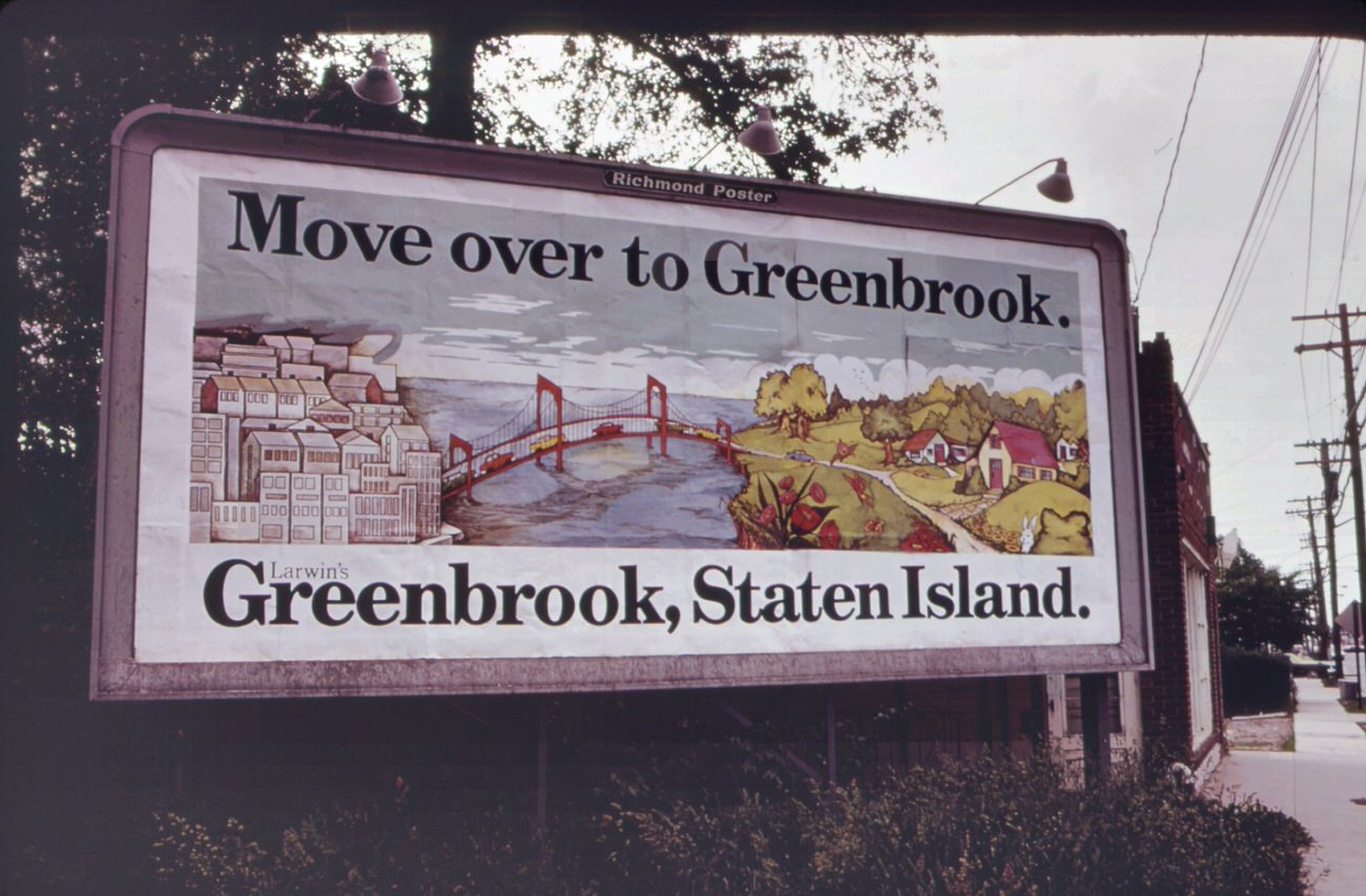
Developers marketed Staten Island aggressively. Billboards urged commuters to “cross the Verrazzano-Narrows Bridge and find good living in Staten Island.” Newly built homes appeared on the borders of parkland, including directly adjacent to Great Kills Park. Wetlands that had taken centuries to form were drained and filled in months.
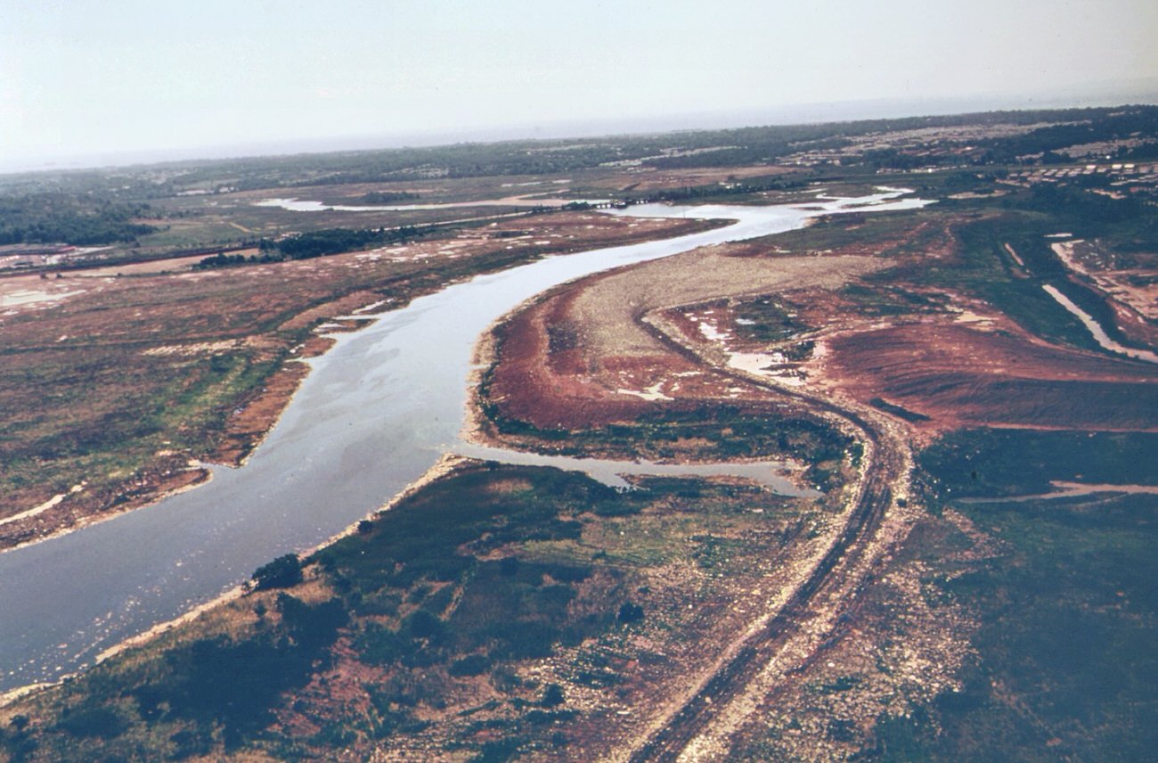
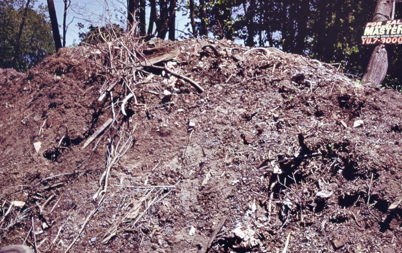
“cross the verrazano-narrows bridge and find good living in staten island”-a theme of the developers, 1970sDestruction of wetlands at staten island, new york. Lands adjacent to the bight, rivers flowing into it, and bays and estuaries edging it have direct impact upon the environment of the coastal waters.
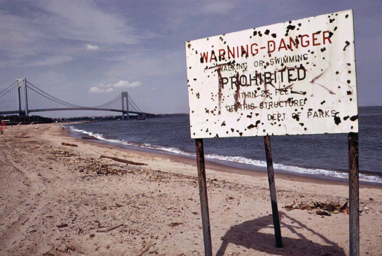
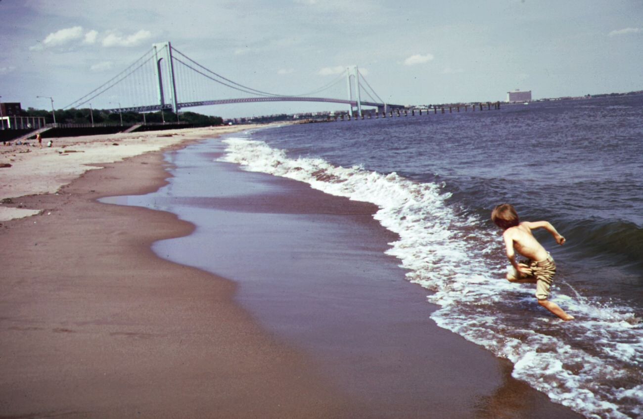
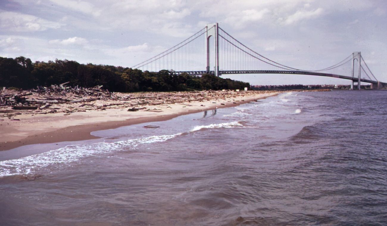
The destruction of wetlands had direct consequences for water quality. Industrial waste and raw sewage flowed into Staten Island’s waterways throughout this period. Beaches that should have been public recreational spaces were regularly posted with pollution warnings. Signs at the shoreline near the Verrazzano-Narrows Bridge warned swimmers to stay out of the water.
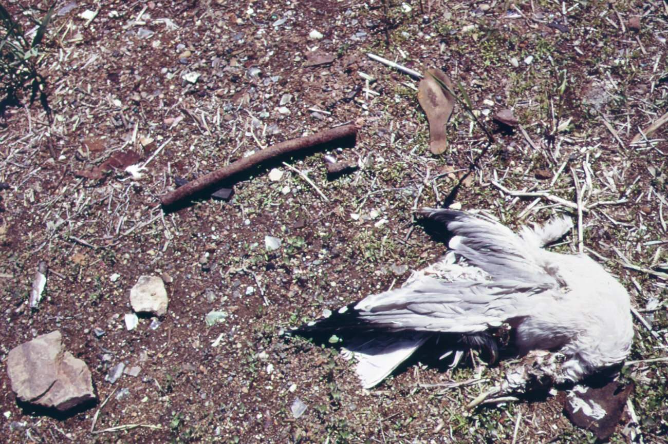
Warning of polluted water at staten island beach verrazano-narrows bridge in background, 1970sDead gull near entrance to great kills park on staten island, 1970s
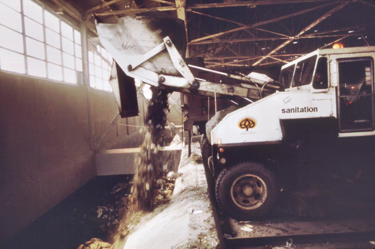
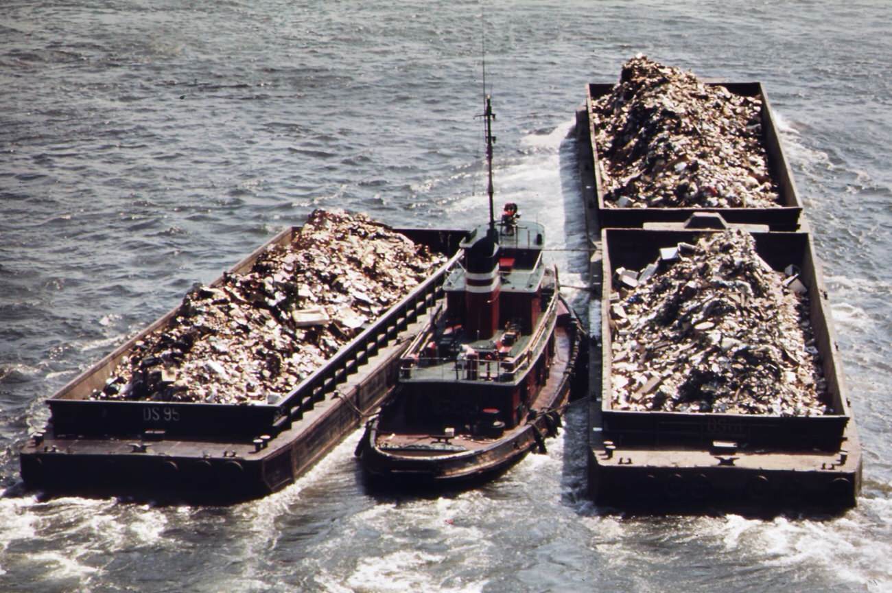
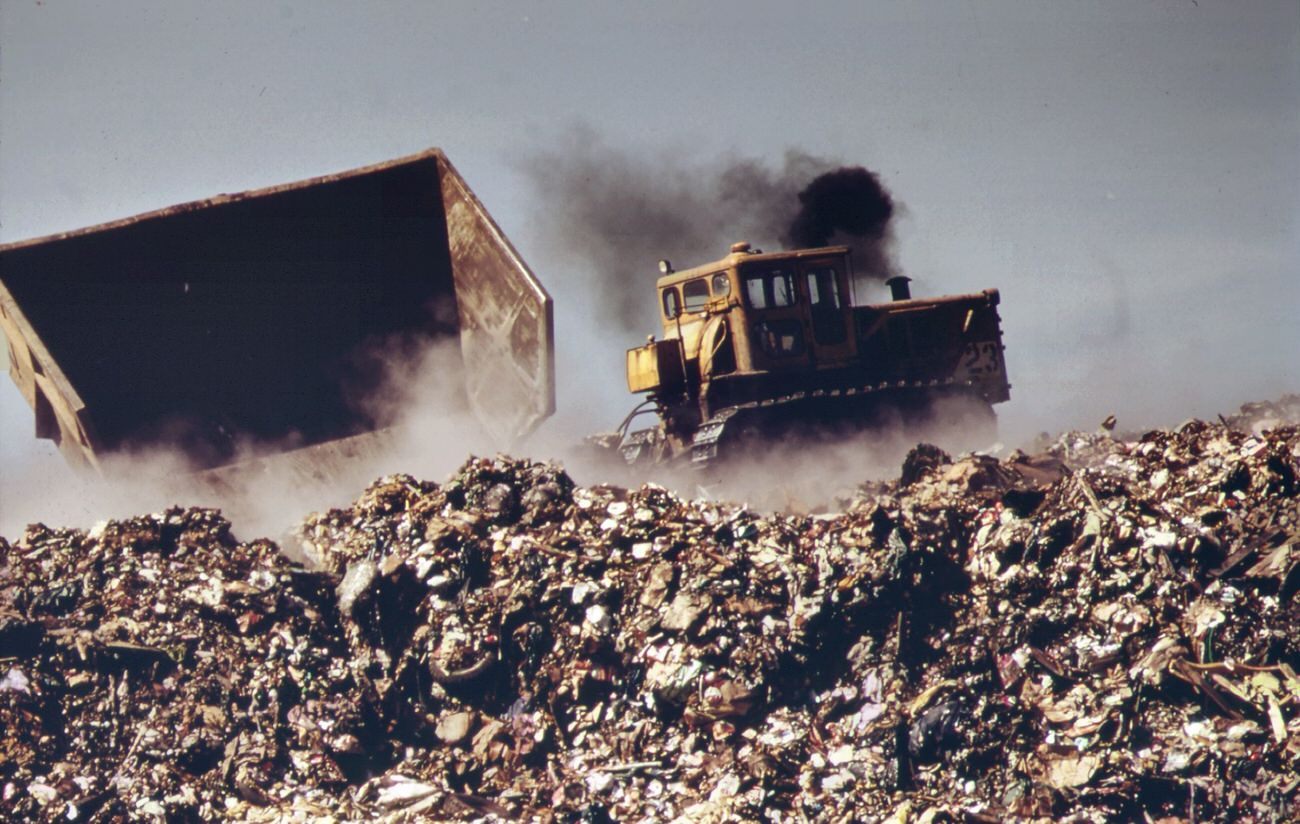
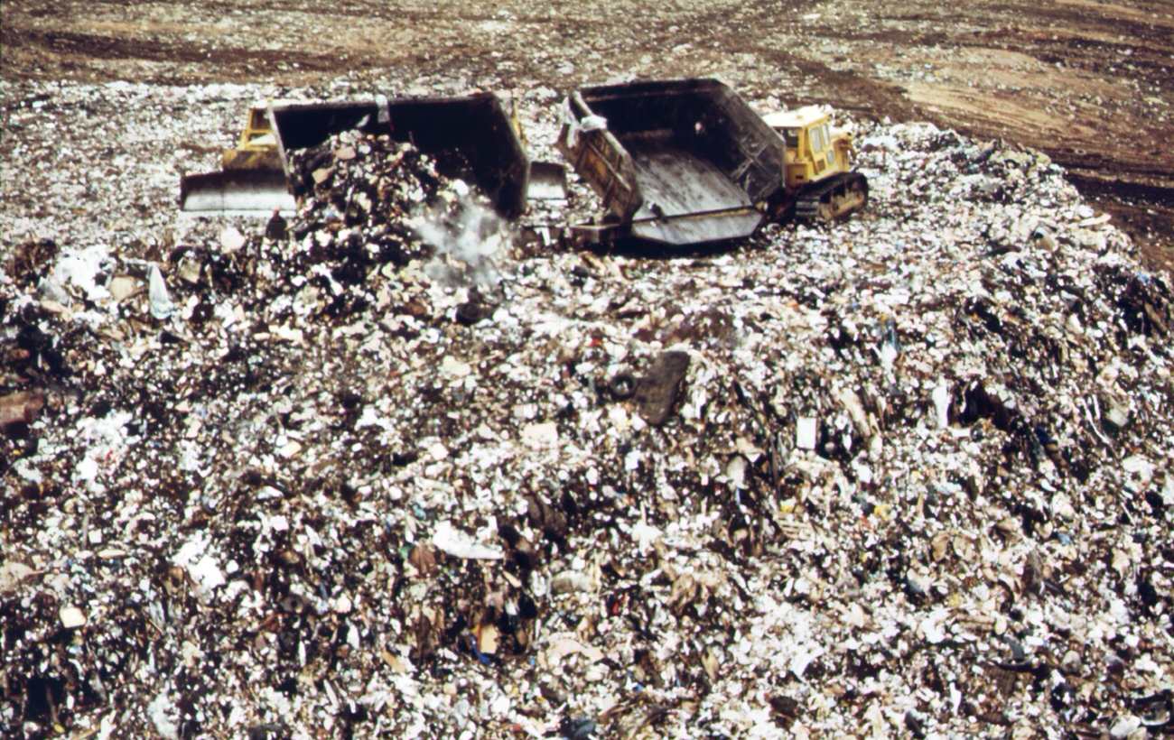
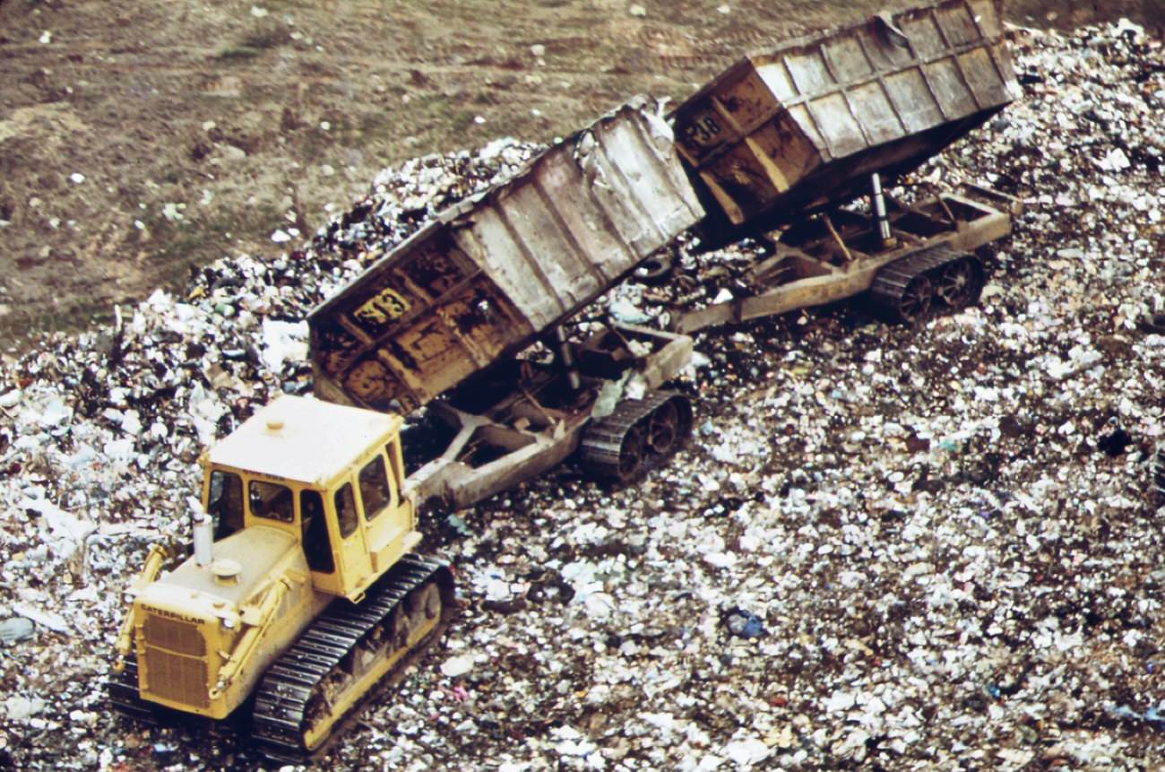
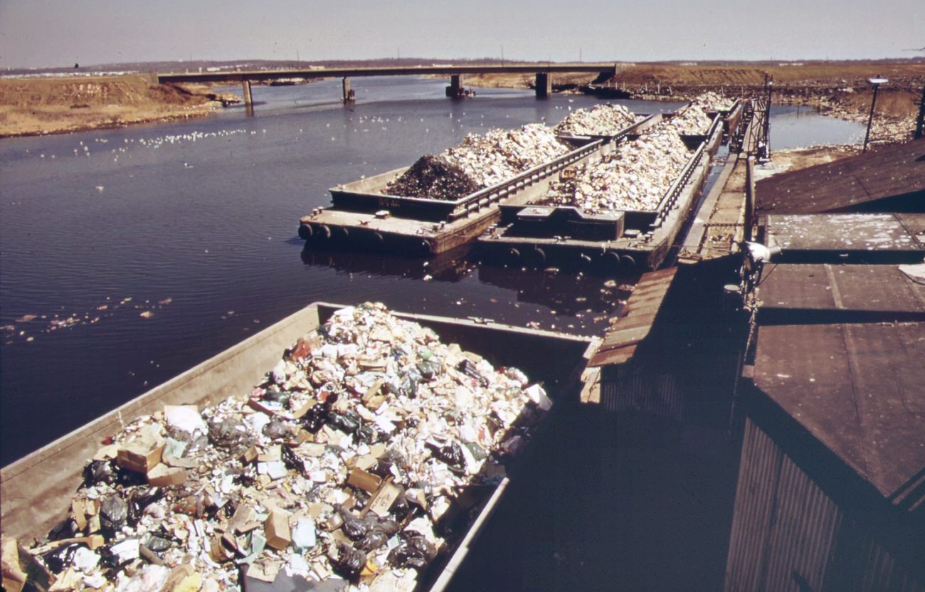
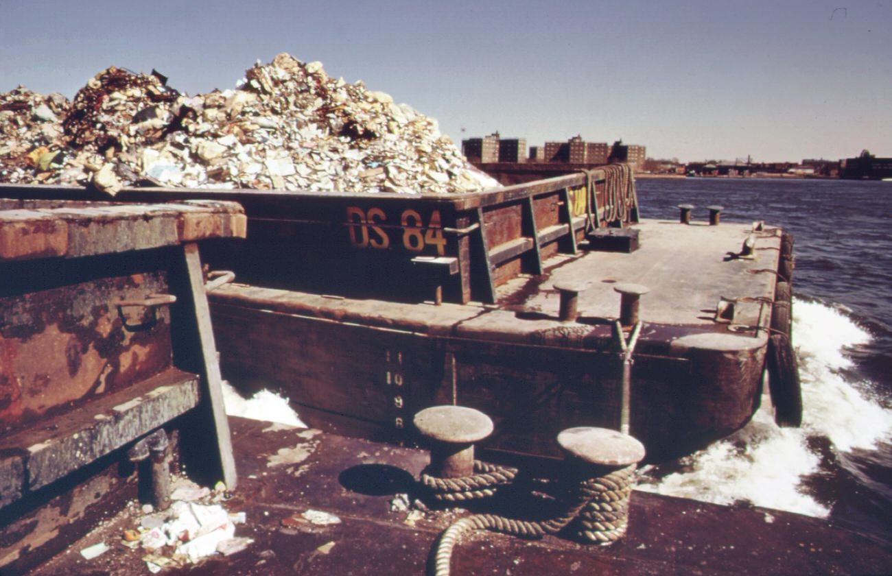
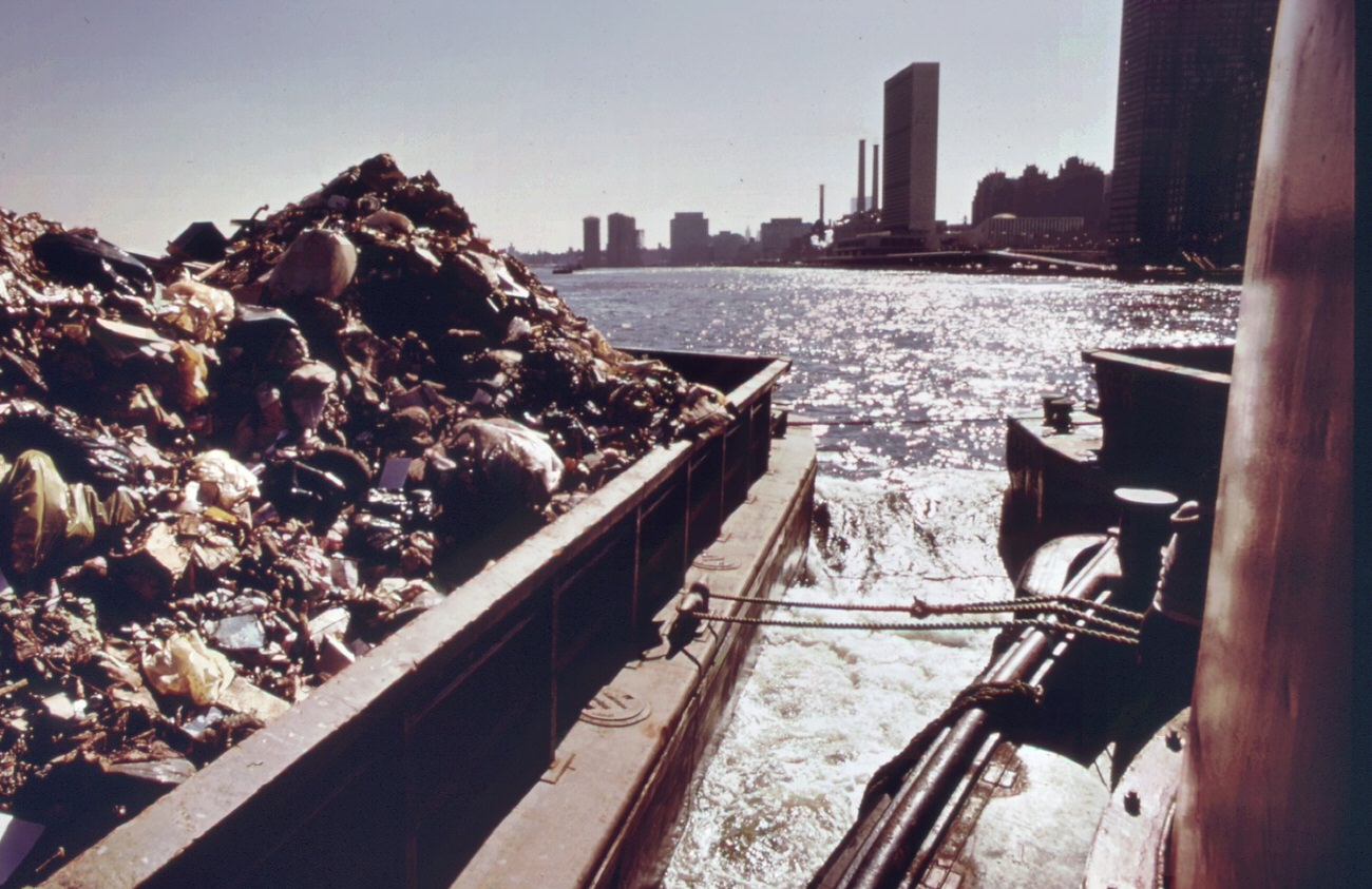
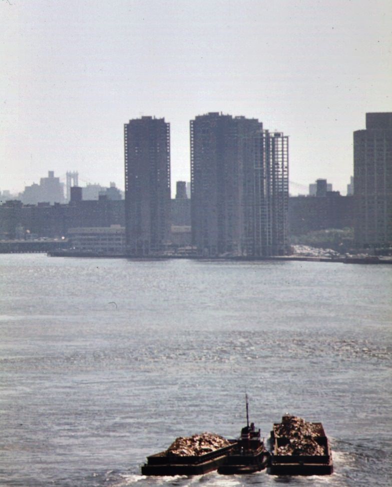
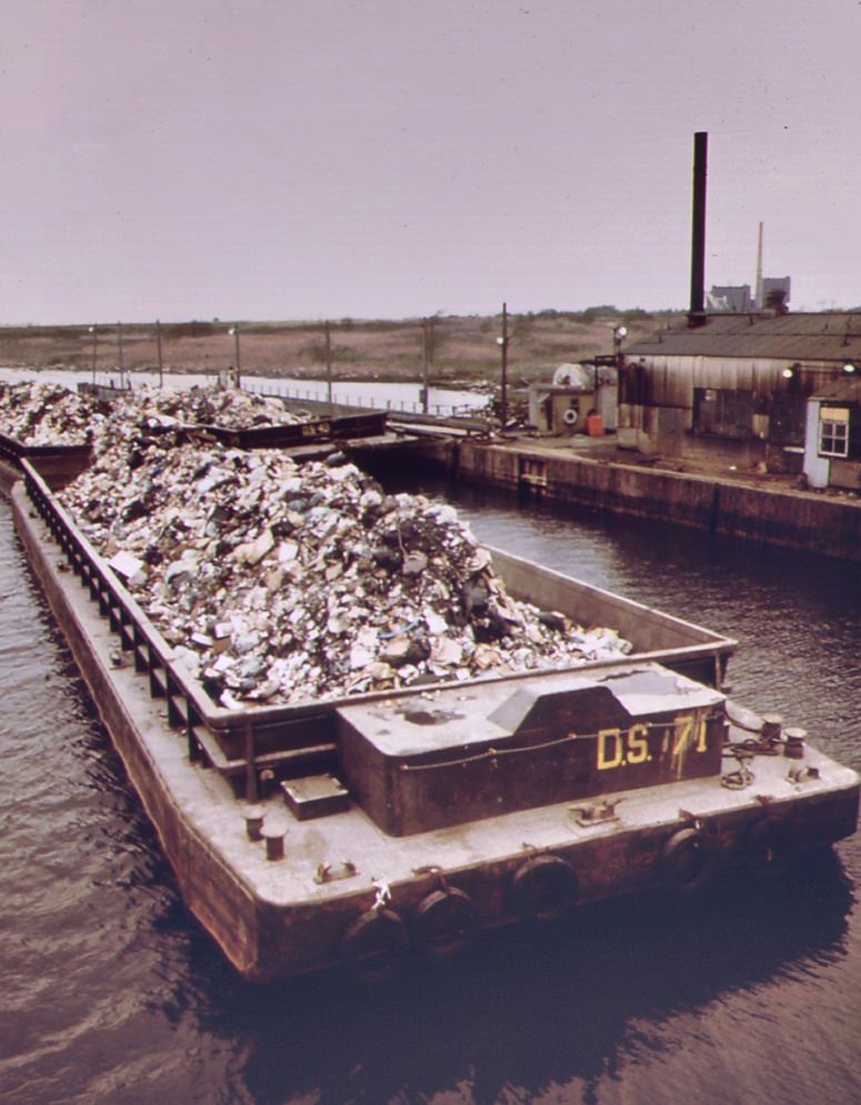
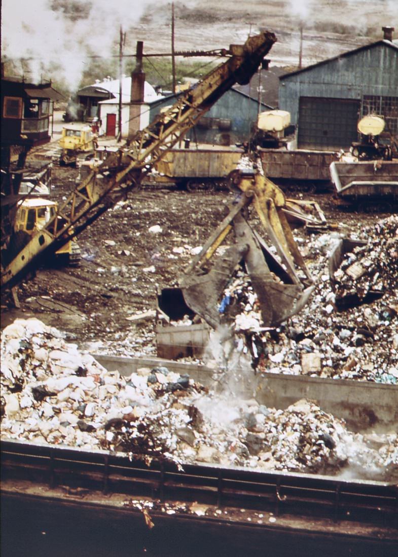
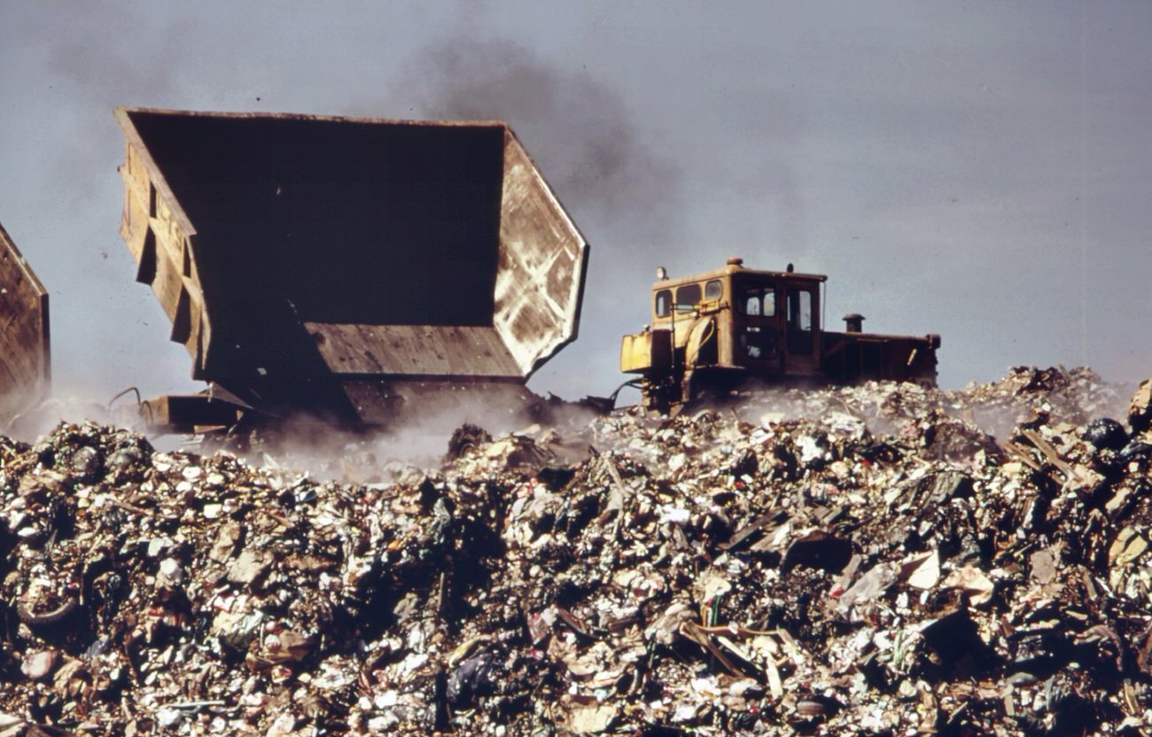
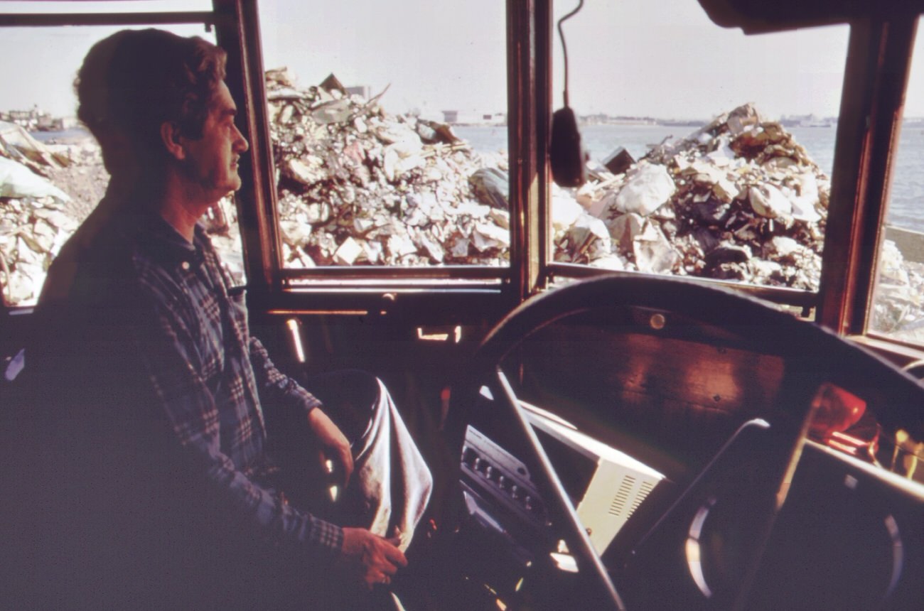
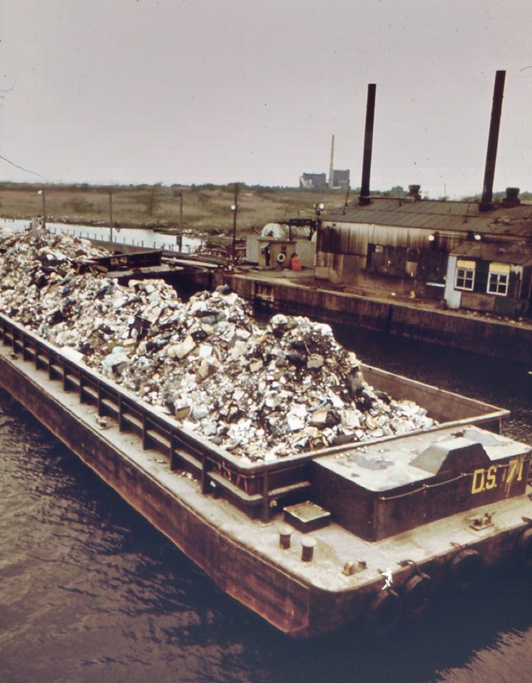
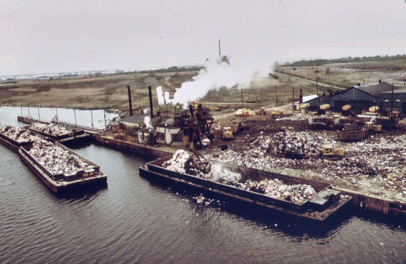
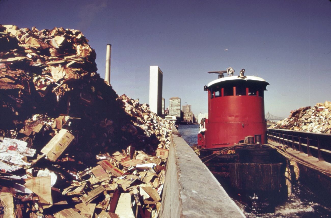
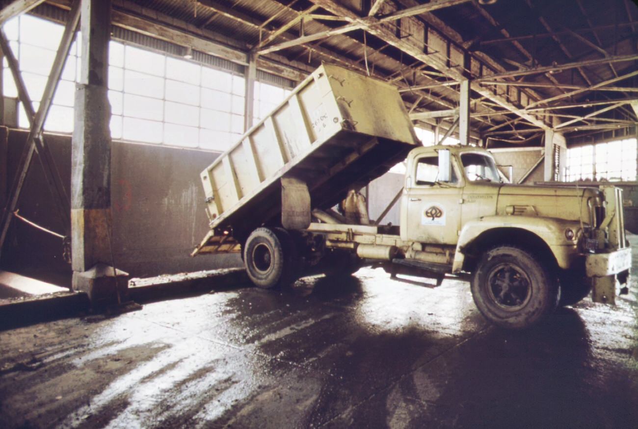
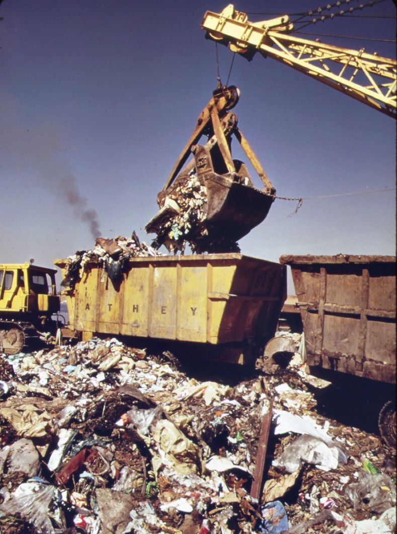
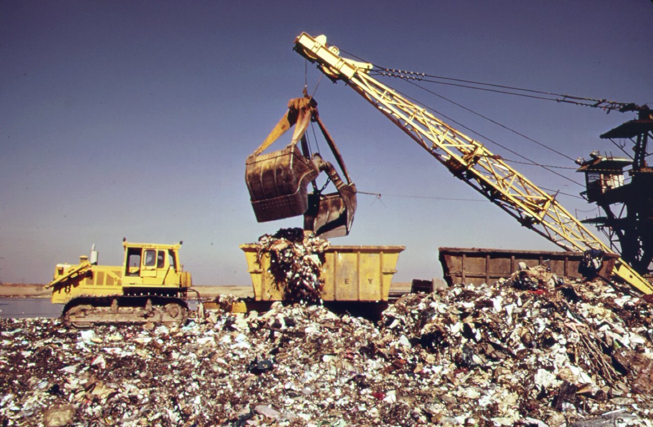
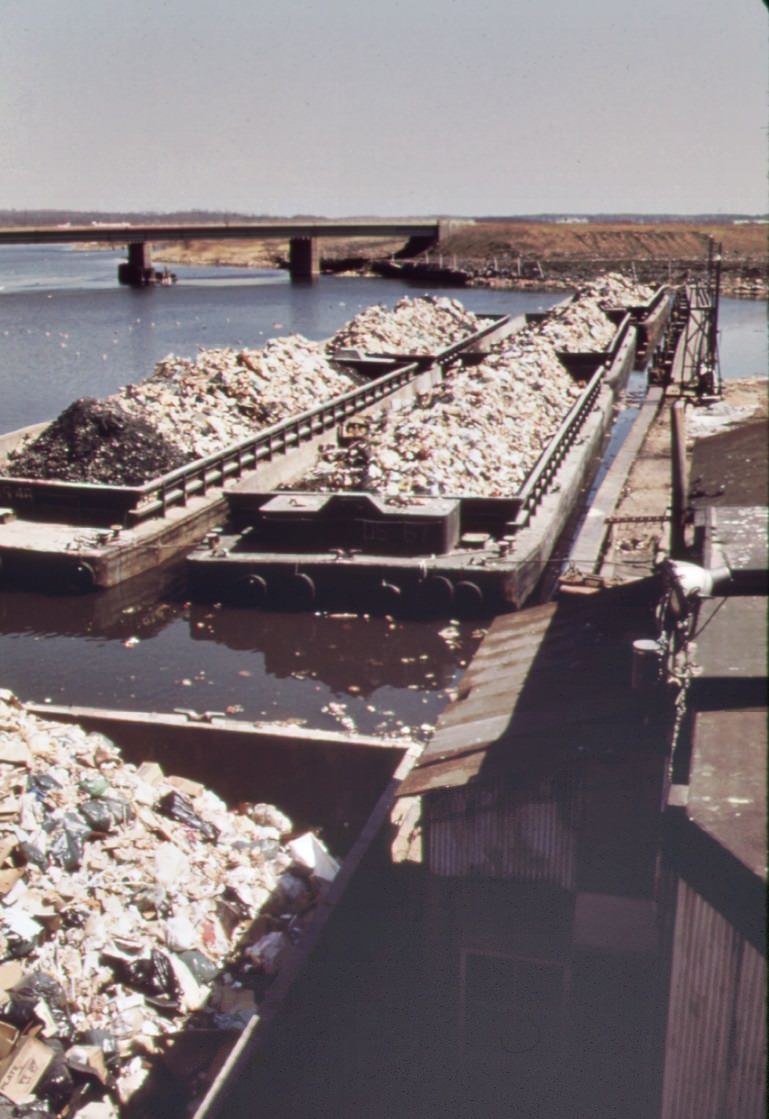
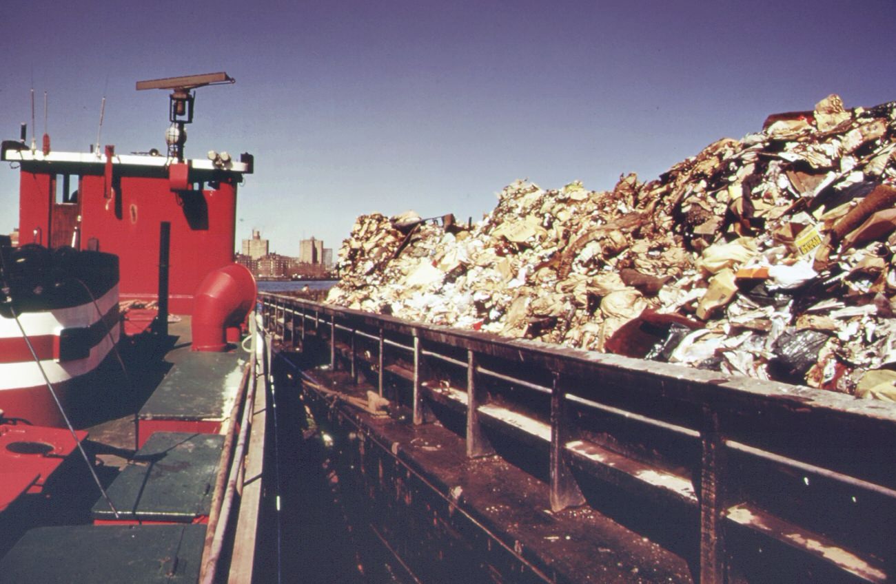
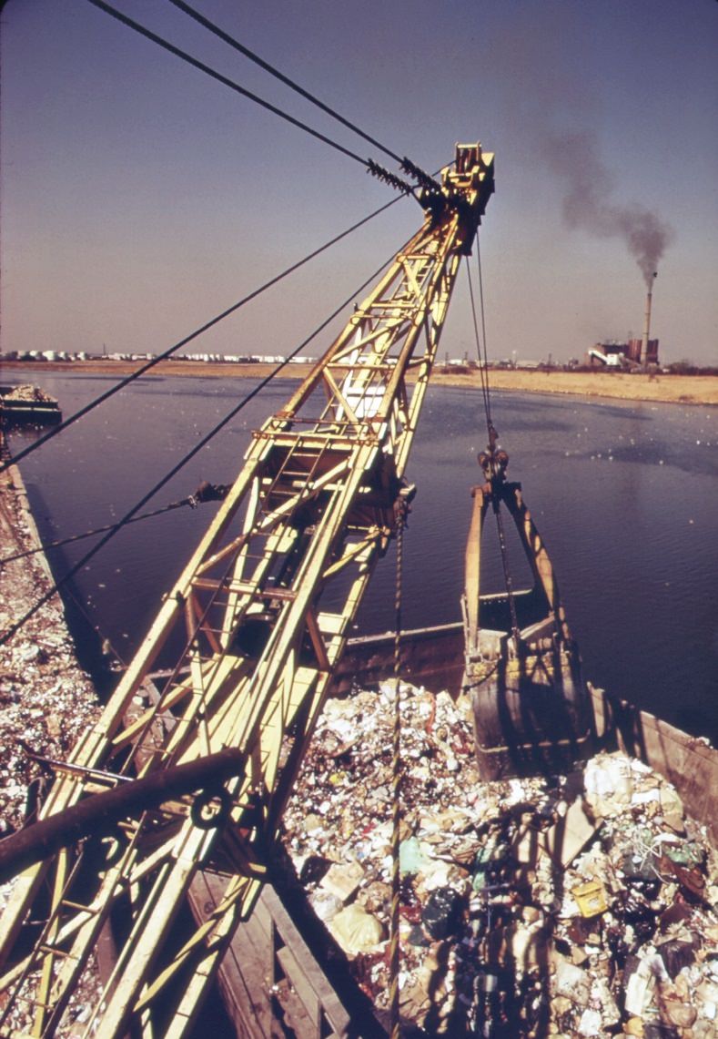
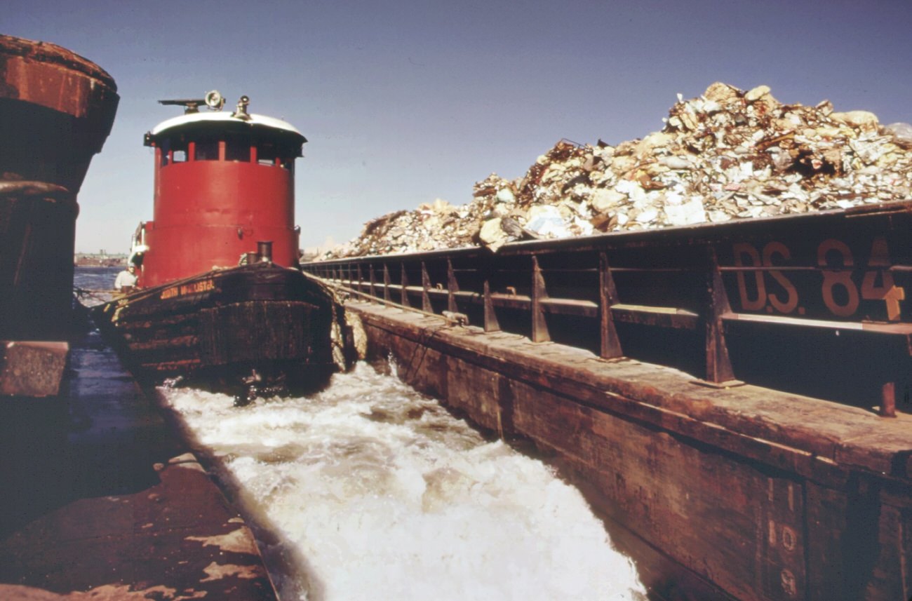
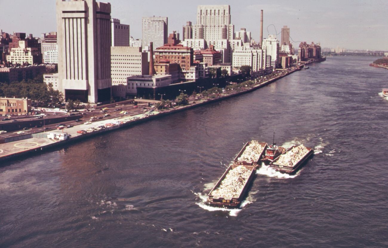
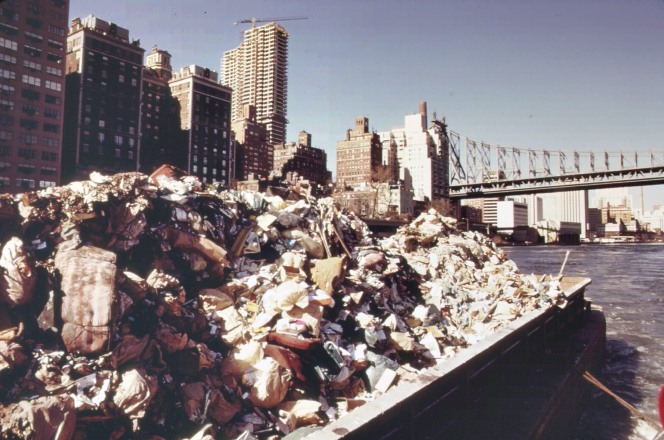
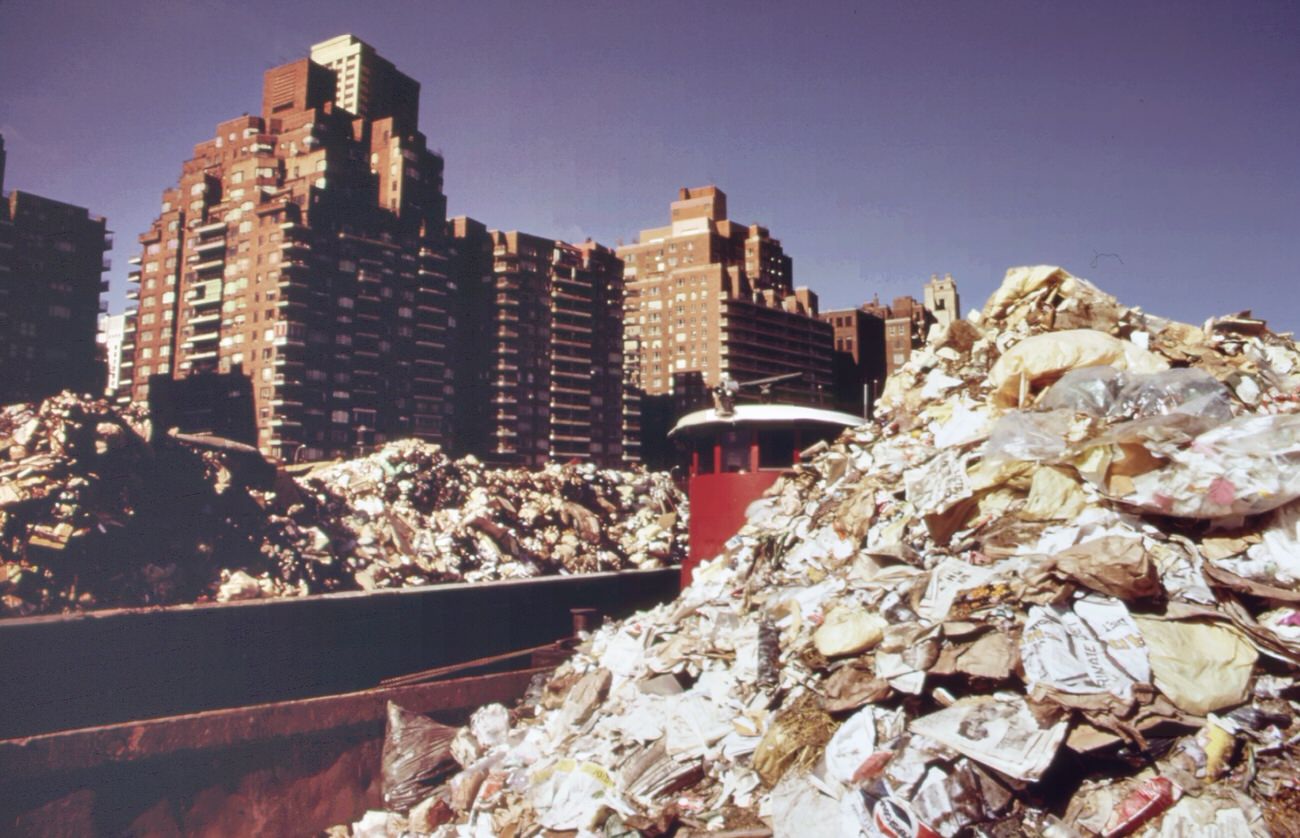
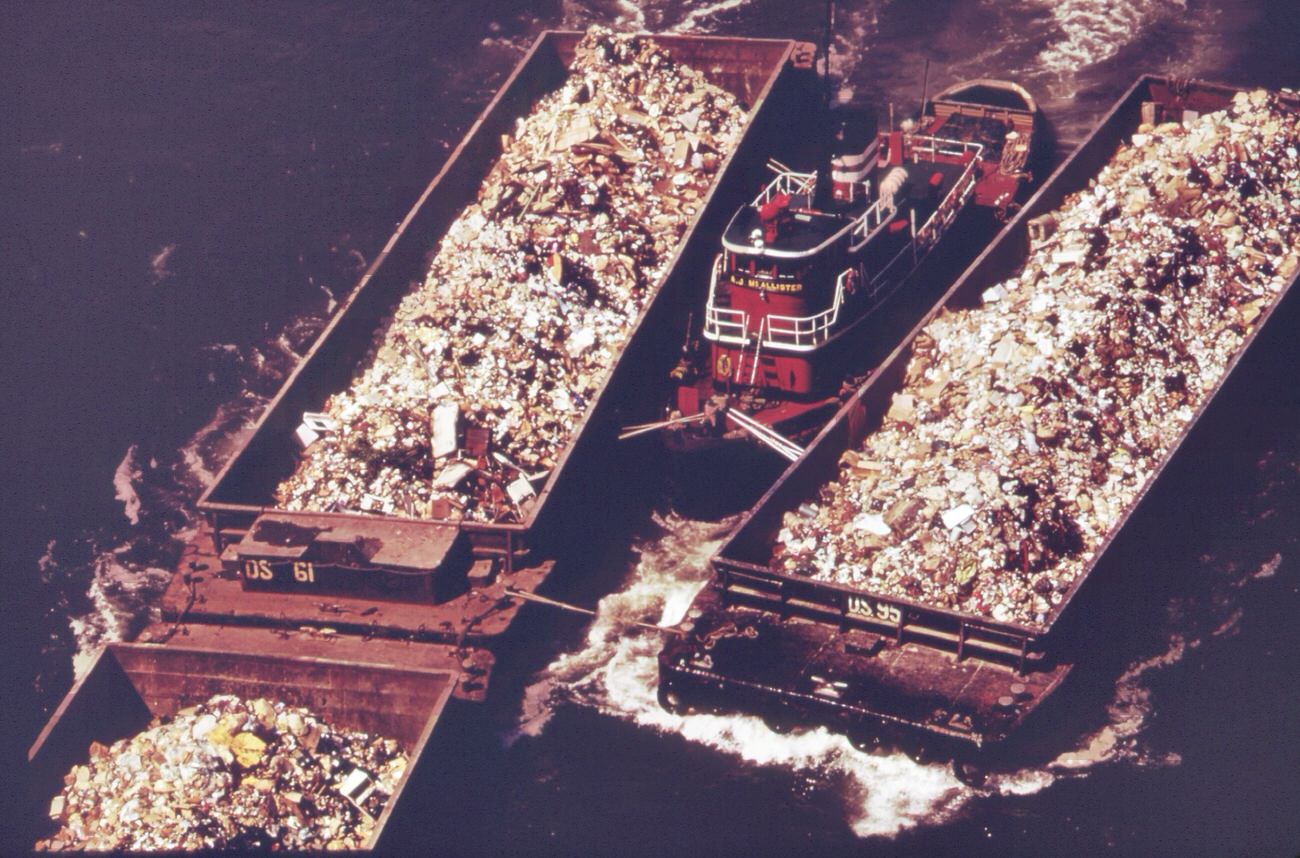
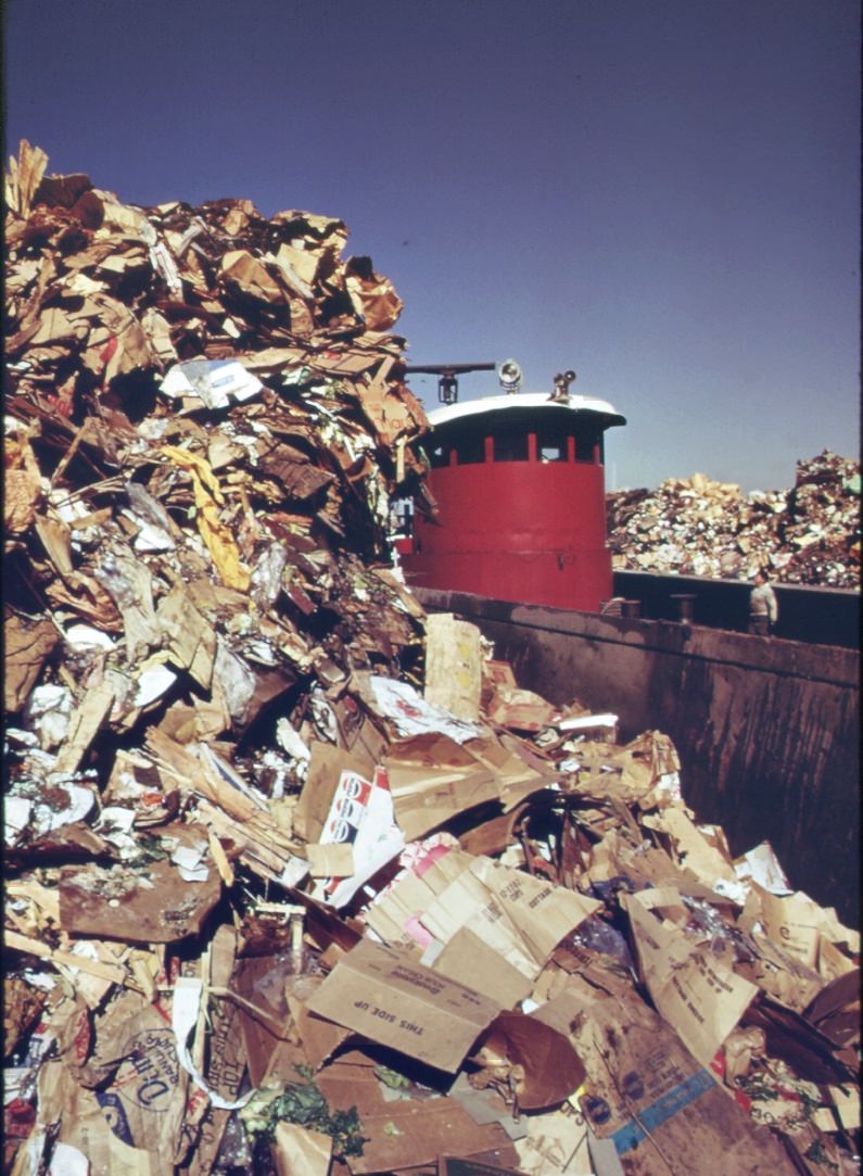
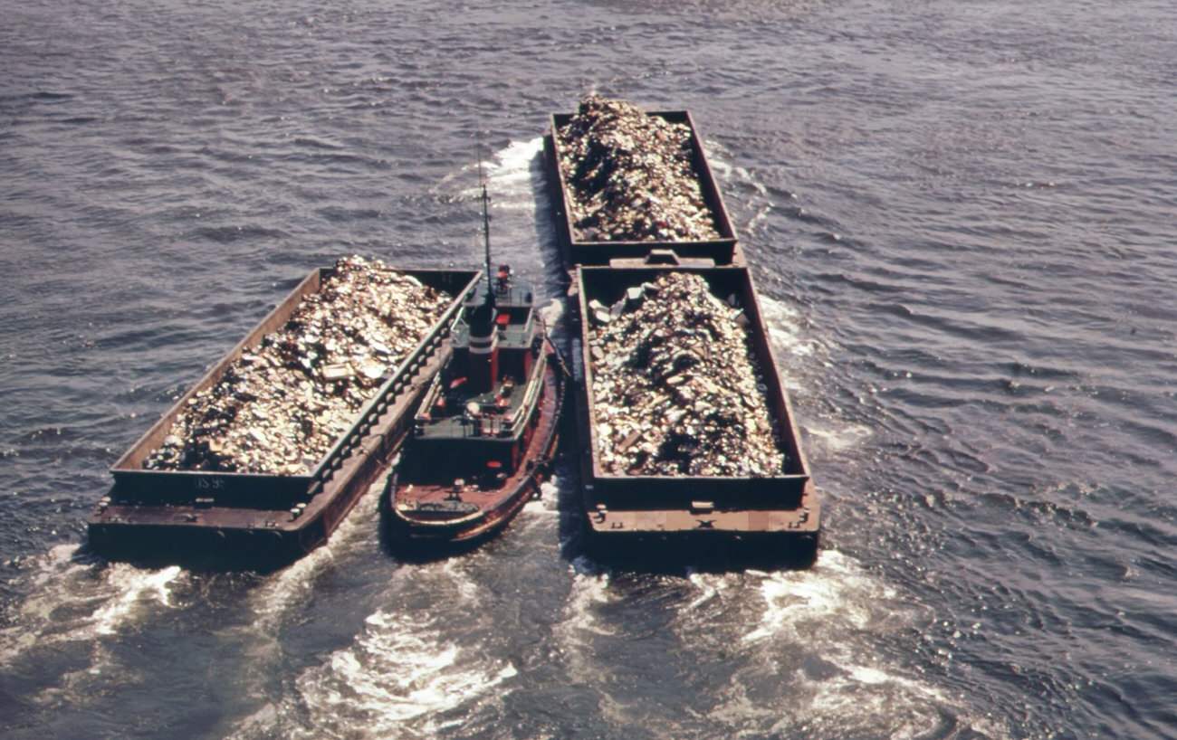
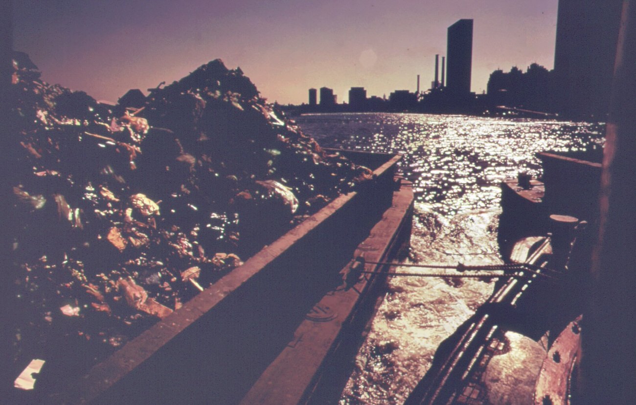
At the center of the borough’s environmental crisis was Fresh Kills, the landfill on Staten Island’s west shore. New York City produced around 26,000 tons of solid waste every single day during this era, and a significant portion of it ended up here. Garbage trucks unloaded at transfer stations along the East River — most notably the 91st Street Marine Transfer Station — where tugboats pushed heavily loaded barges down to Fresh Kills. Once there, steam shovels unloaded the waste onto carts, which carried it to the landfill’s outer edges, where it was dumped and burned.
Garbage trucks at 91st street marine transfer station. From this point, barges carry wastes down the east river to the staten island landfill, 1970sTugboat herds garbage scows down the east river from a transfer point in manhattan. Destination is the staten island landfill, 1970sFresh kills landfill area on staten island. Solid waste covers all available land, 1970s
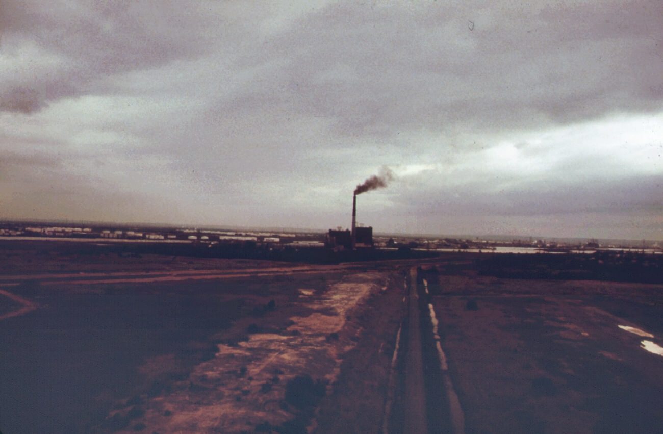
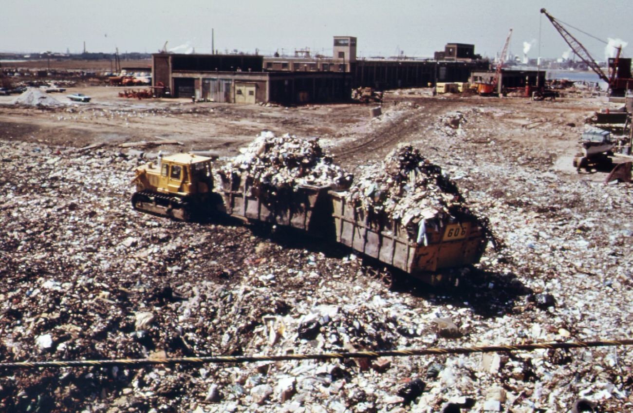
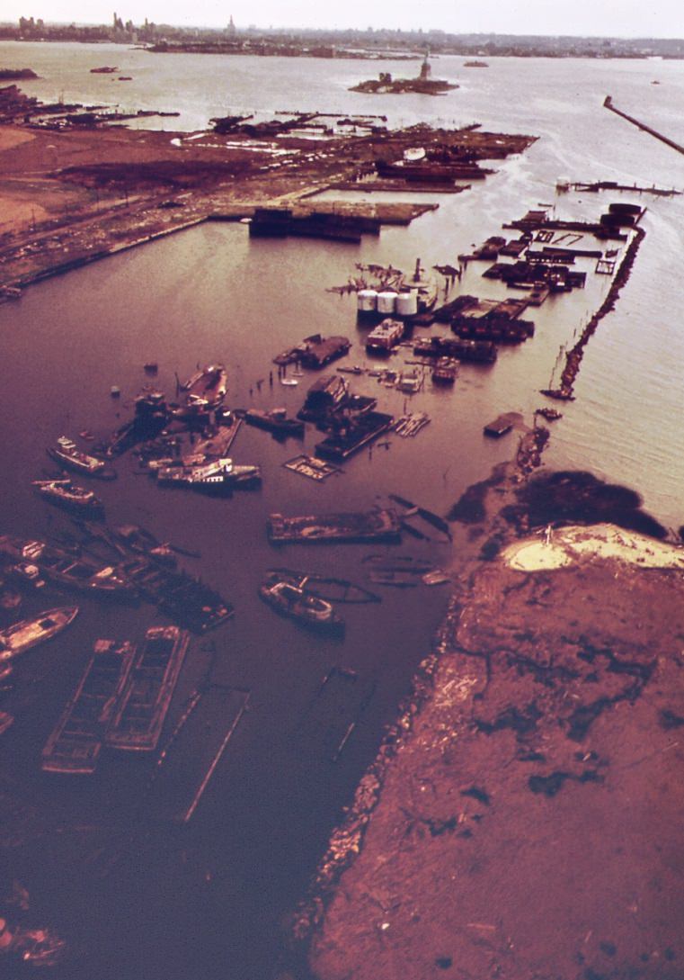
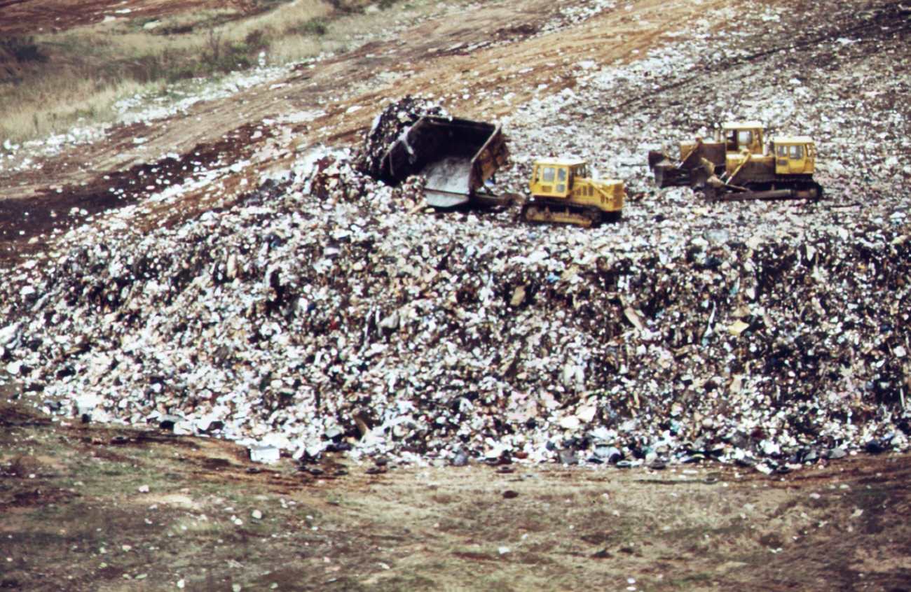
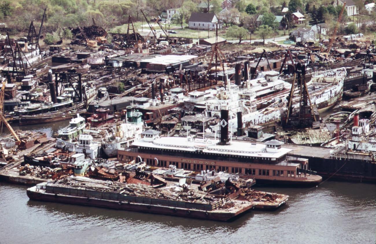
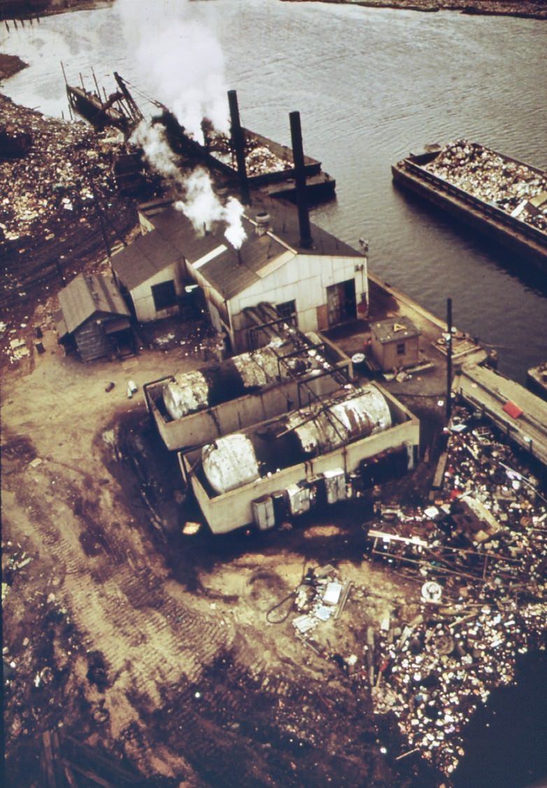
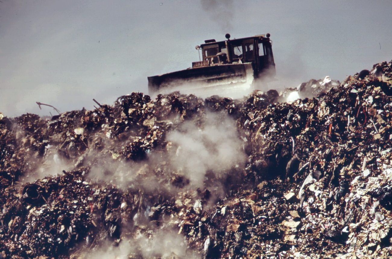
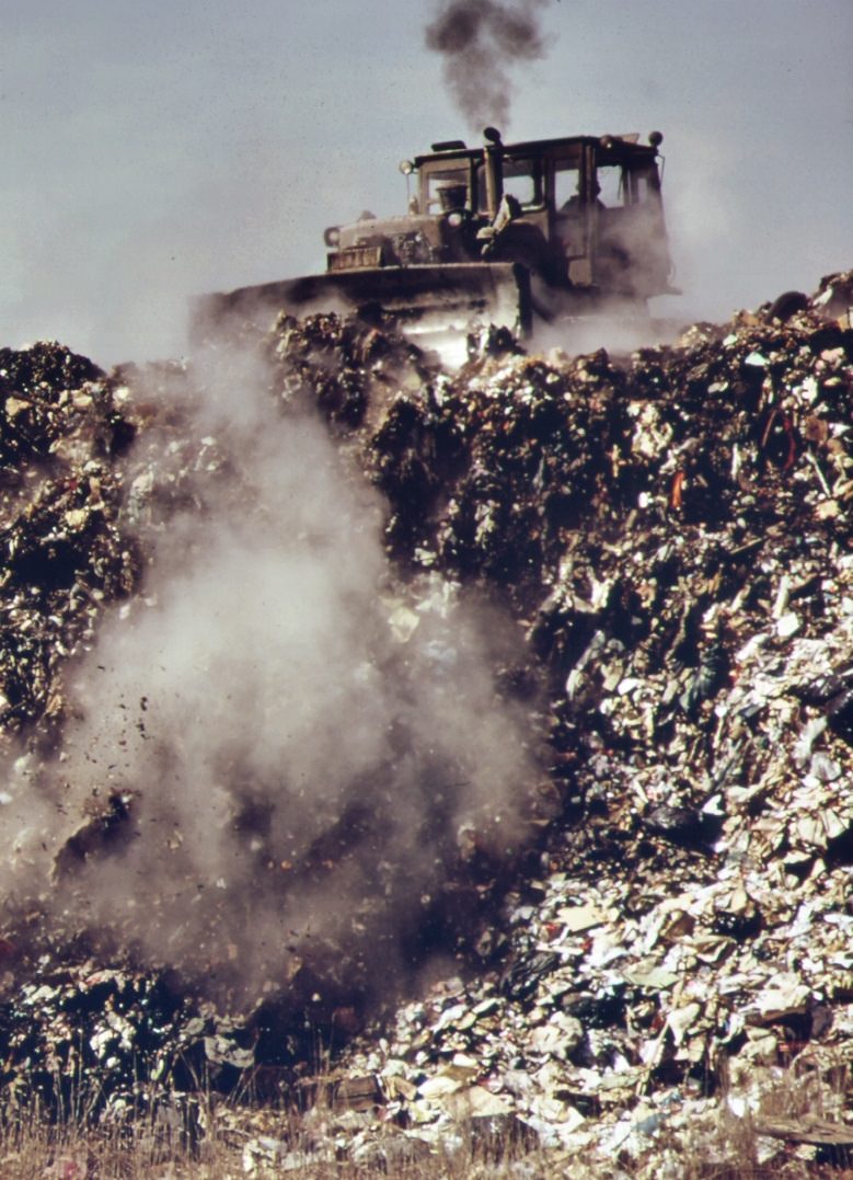
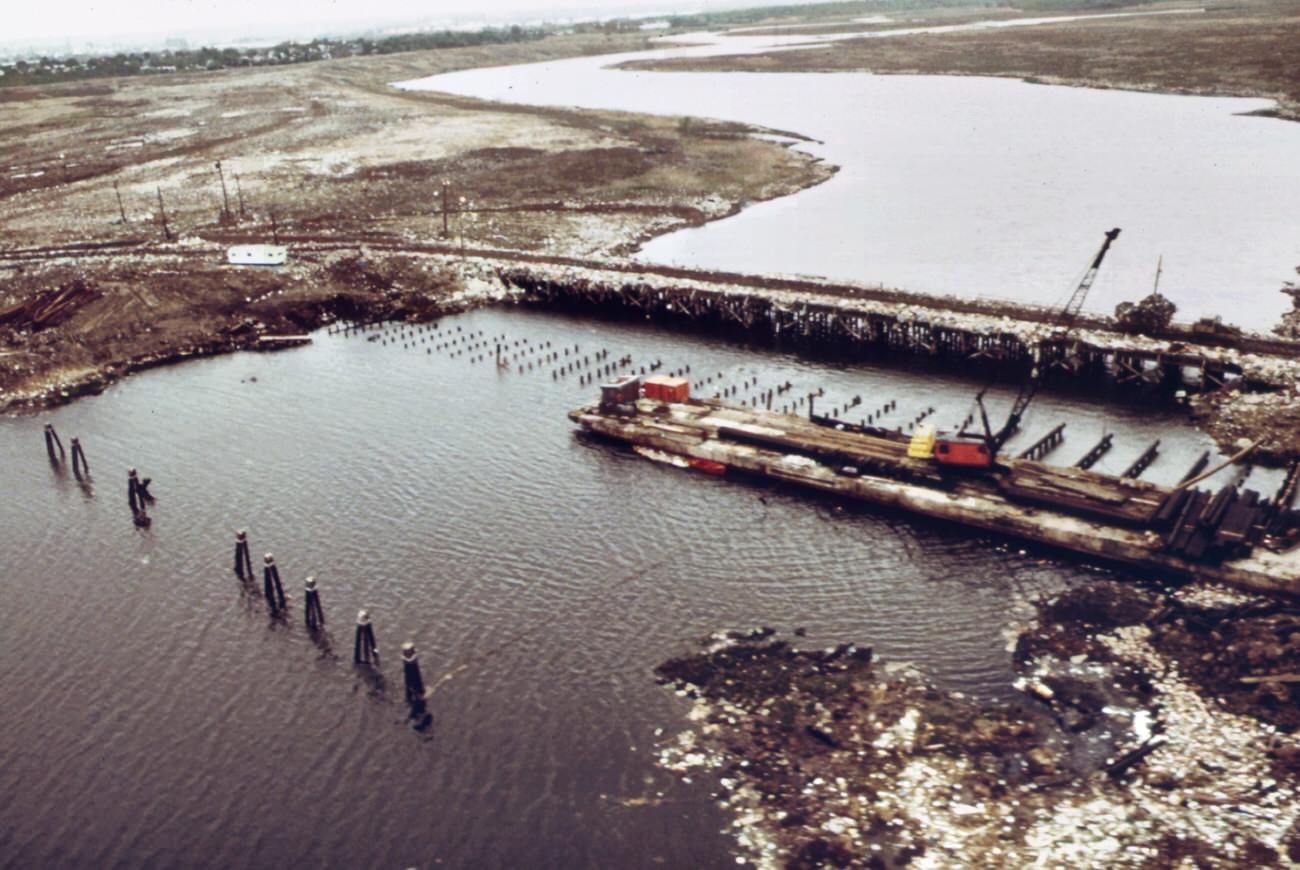
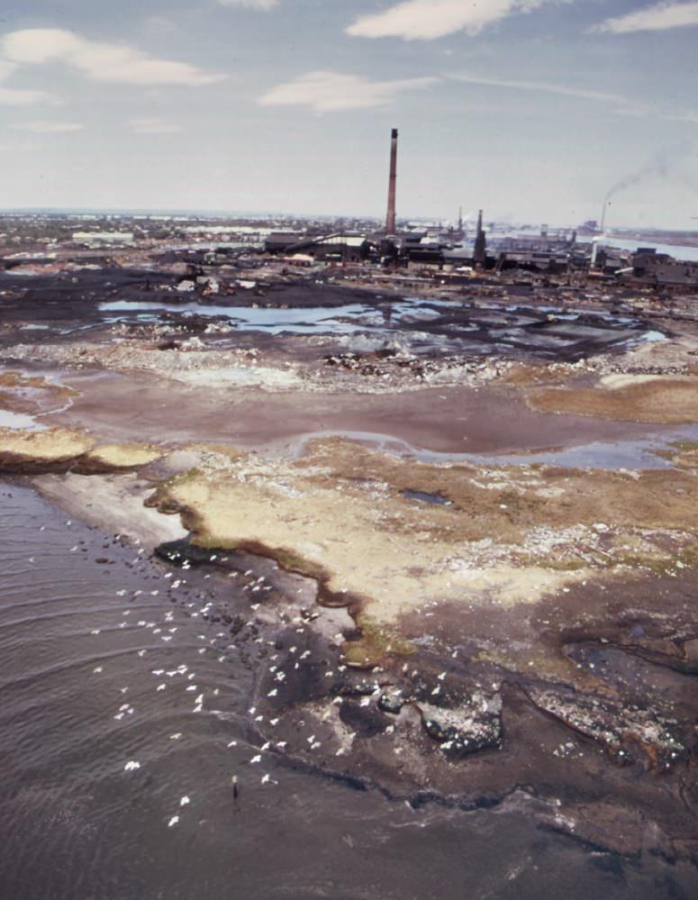
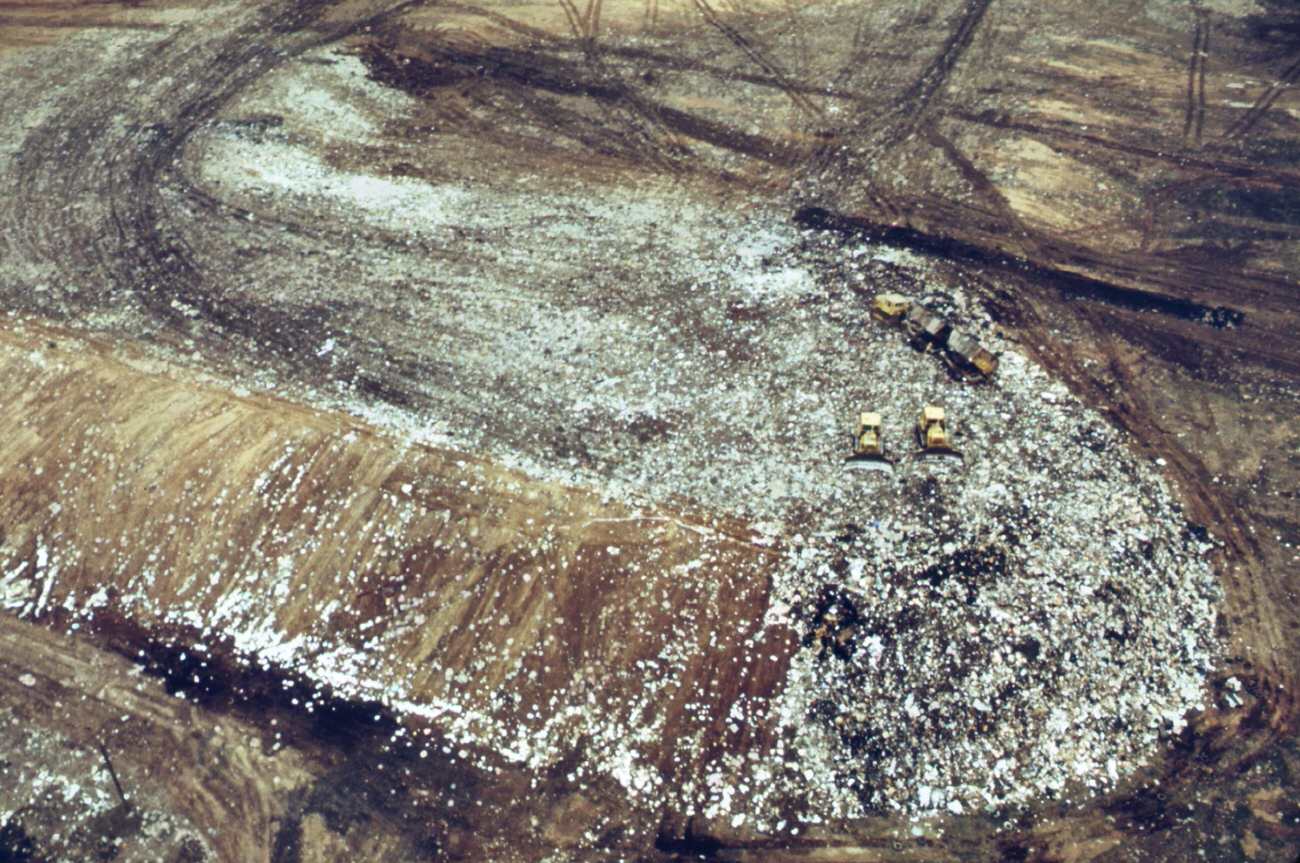
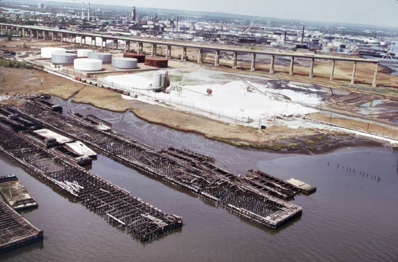
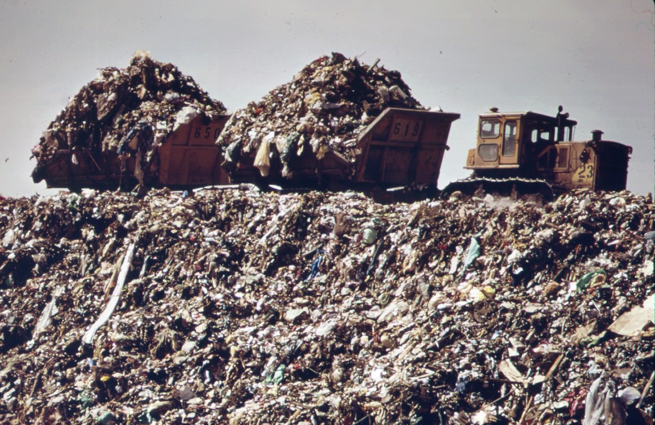
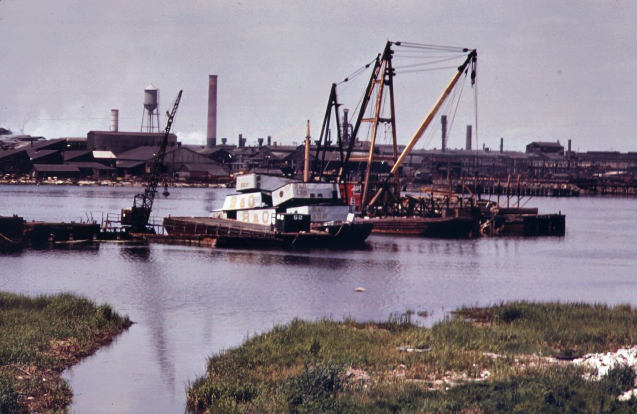
The landfill was overflowing. Solid waste spilled beyond its designated boundaries into surrounding land and water. The DOCUMERICA images show an enormous, smoldering landscape of refuse stretching to the horizon — tire tracks cut through the waste as trucks moved loads from the docks to the dump’s edge. Abandoned boats and barges rotted in the waterway nearby, and the Arthur Kill waterway across from the site was lined with chemical plants and scrapyards.
The landfill at staten island exceeds its capacity. Overflow of waste into surrounding land and water is a result, 1970sAbandoned small boats and barges rot in fresh kills, staten island, 1970sIn last stage of city waste disposal process, garbage brought by barge from manhattan is dumped from carts at outer edges of staten island landfill. Previously deposited refuse is already smoldering, 1970s
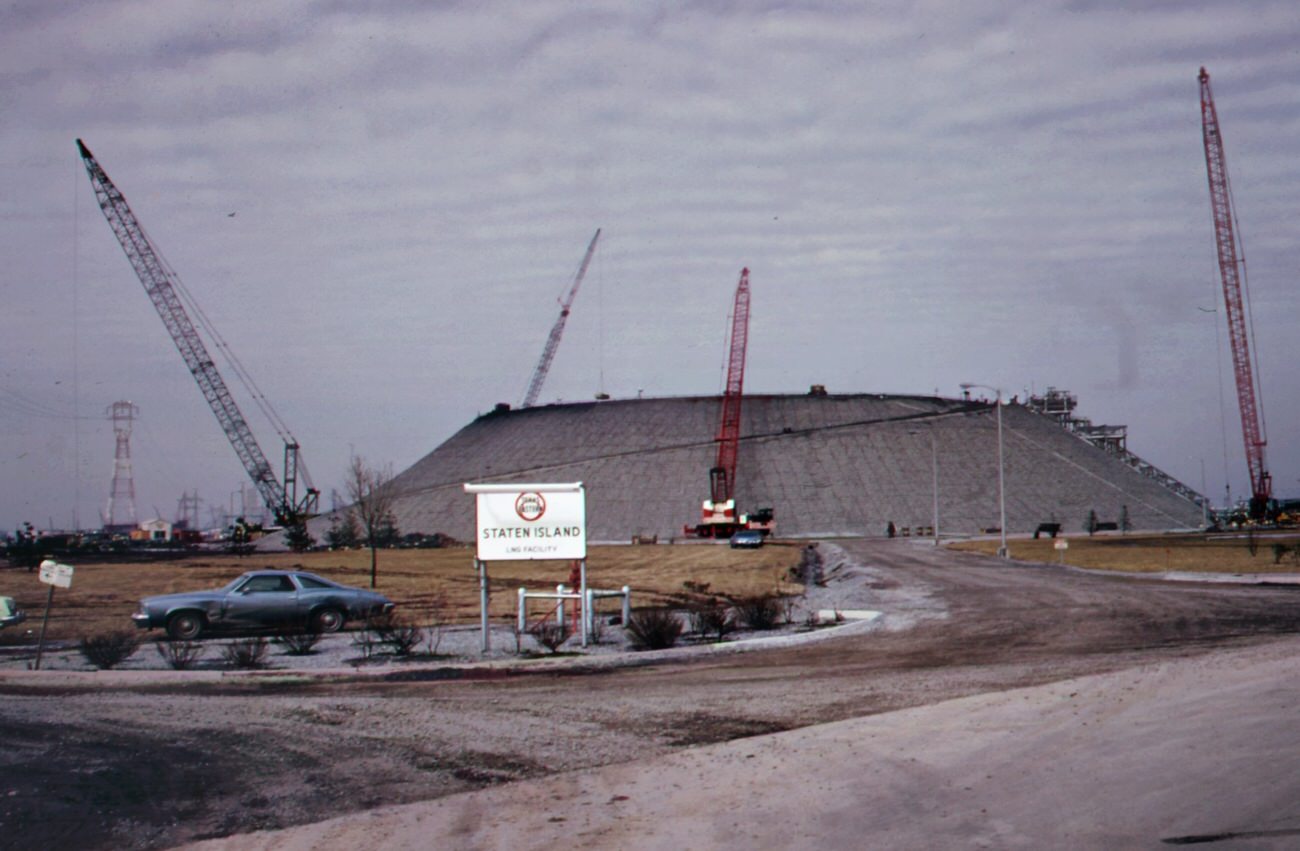
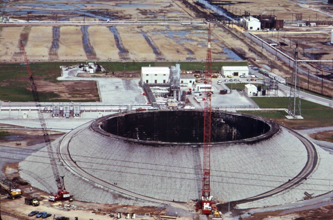
Industrial dangers weren’t limited to the landfill. In February 1973, a liquefied natural gas storage tank owned by Texas Eastern Transmission Corporation exploded on Staten Island, killing 43 workers. Despite strong opposition from residents on both the Staten Island and New Jersey sides of the Arthur Kill, the tank was rebuilt. The rebuilt structure loomed over the surrounding neighborhoods as a constant reminder of the hazards that came with living next to heavy industry.
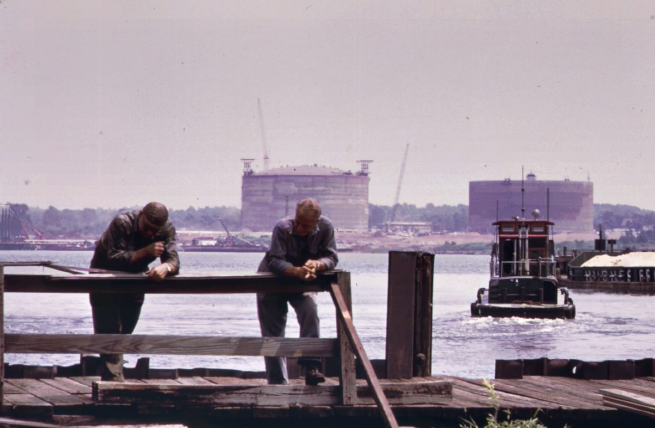
Staten island is the site of the world’s largest liquefied gas storage tank. The tank, a property of the texas eastern transmission corporation blew up in february of 1973 killing 43 workers, 1970sThe texas eastern gas tank (in background) on staten island as seen from the opposite side of arthur kill at port reading, 1970s
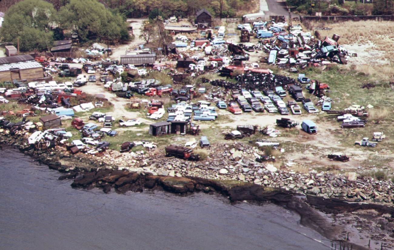
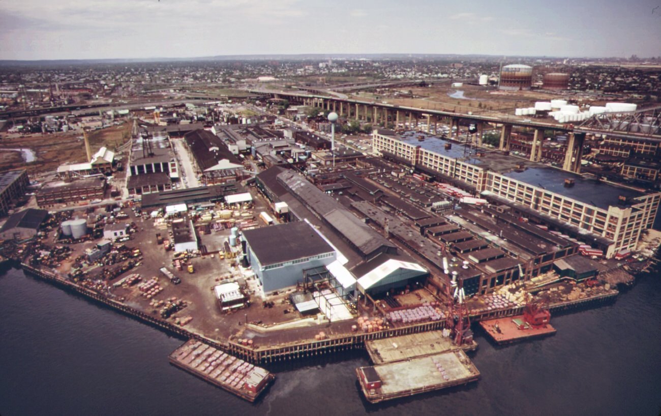
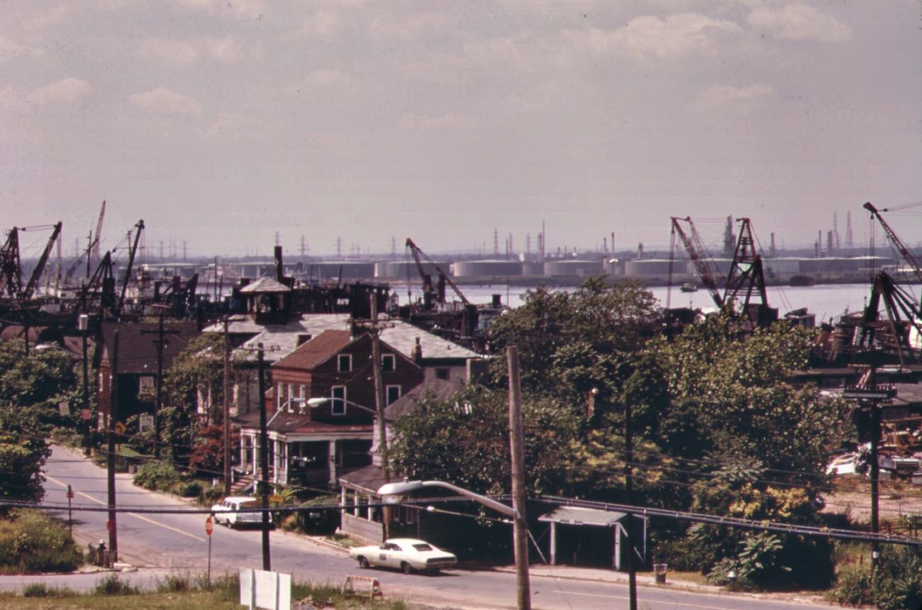
Along Arthur Kill Road, private homes sat practically surrounded by encroaching refineries and storage facilities. Oil tankers stored chemicals in the waterway. Companies like Union Carbide, American Cyanamid, Gulf Oil, and Agrico operated plants along the kill’s banks. Auto junkyards on streets like Meridith Avenue dumped unwanted car bodies directly into the Arthur Kill.
Arthur kill road on staten island, looking north. This is an area of high density petrochemical shipping and industry, with an attendant high level of pollution, 1970sAuto wreckers and auto junk-yard on meridith avenue unwanted automobile bodies and parts are dumped into arthur kill, 1970s
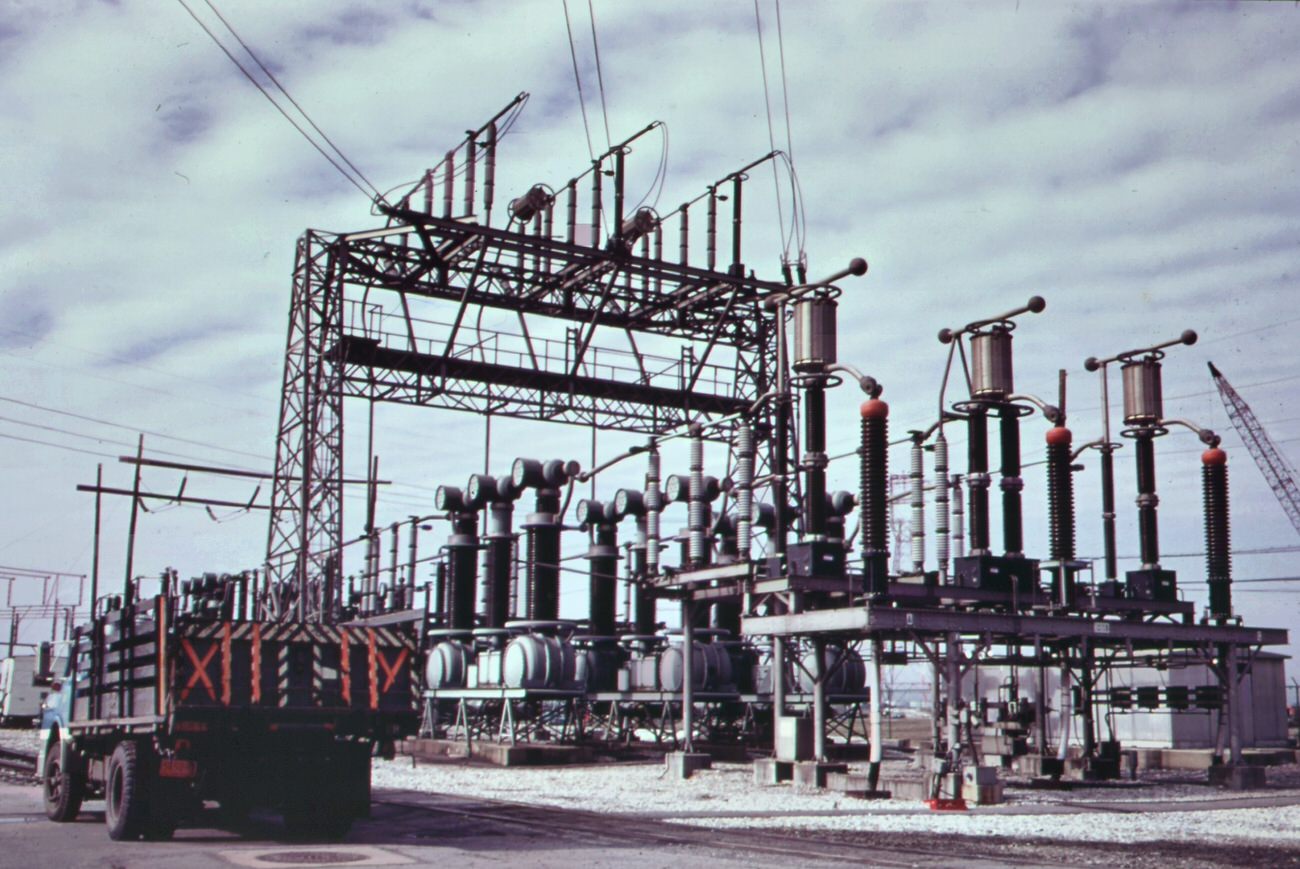
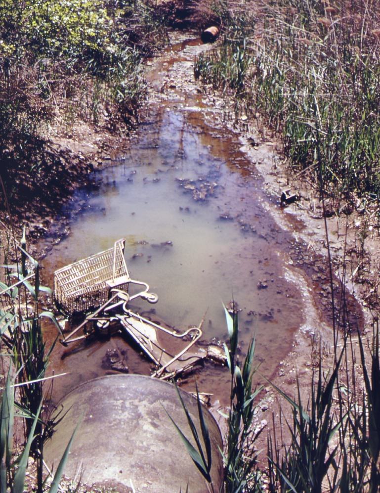
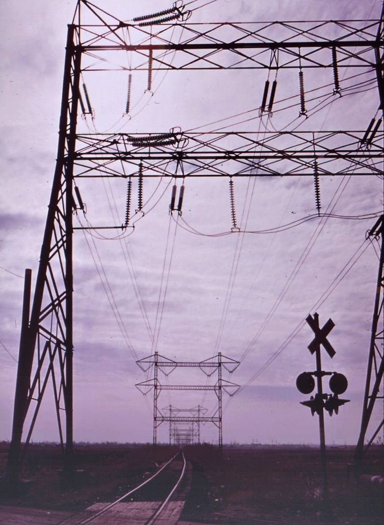
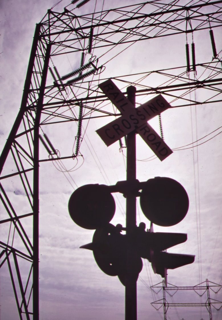
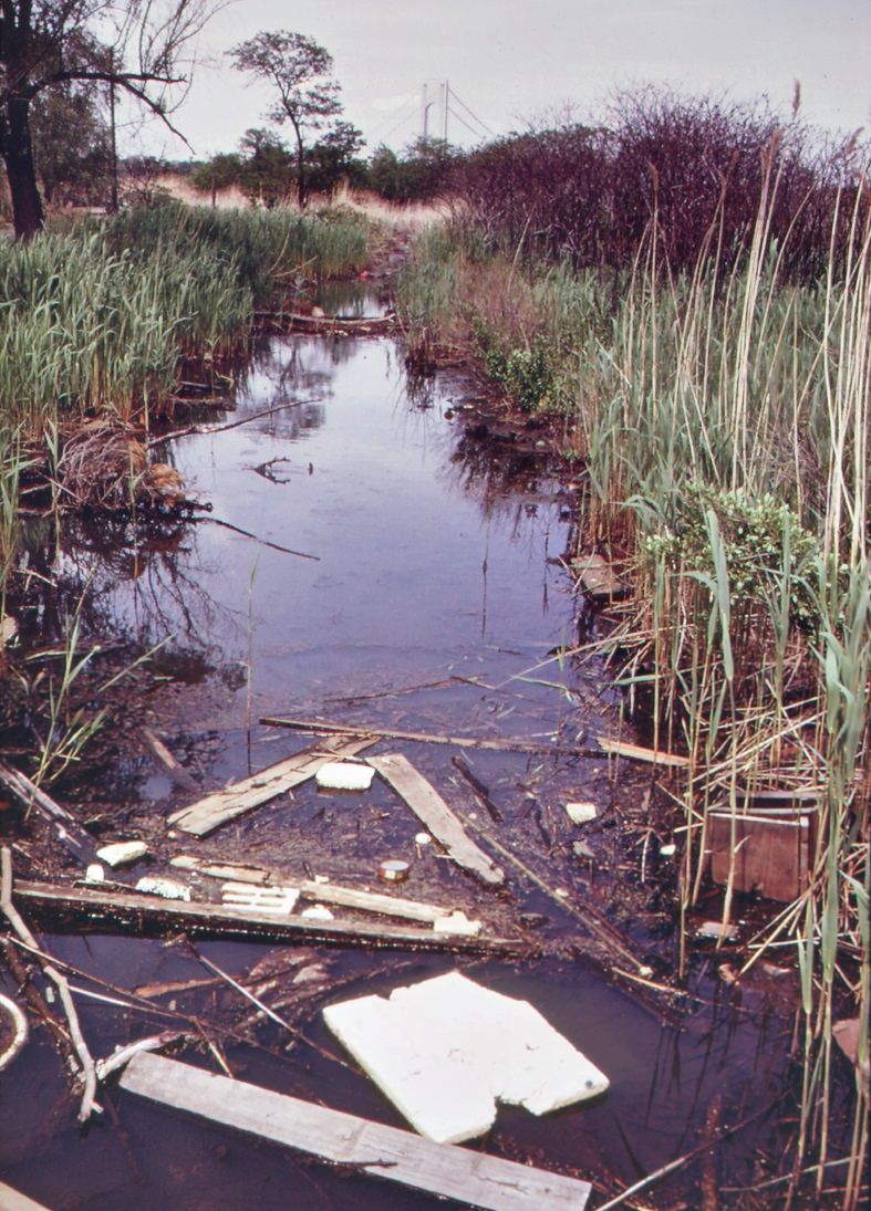
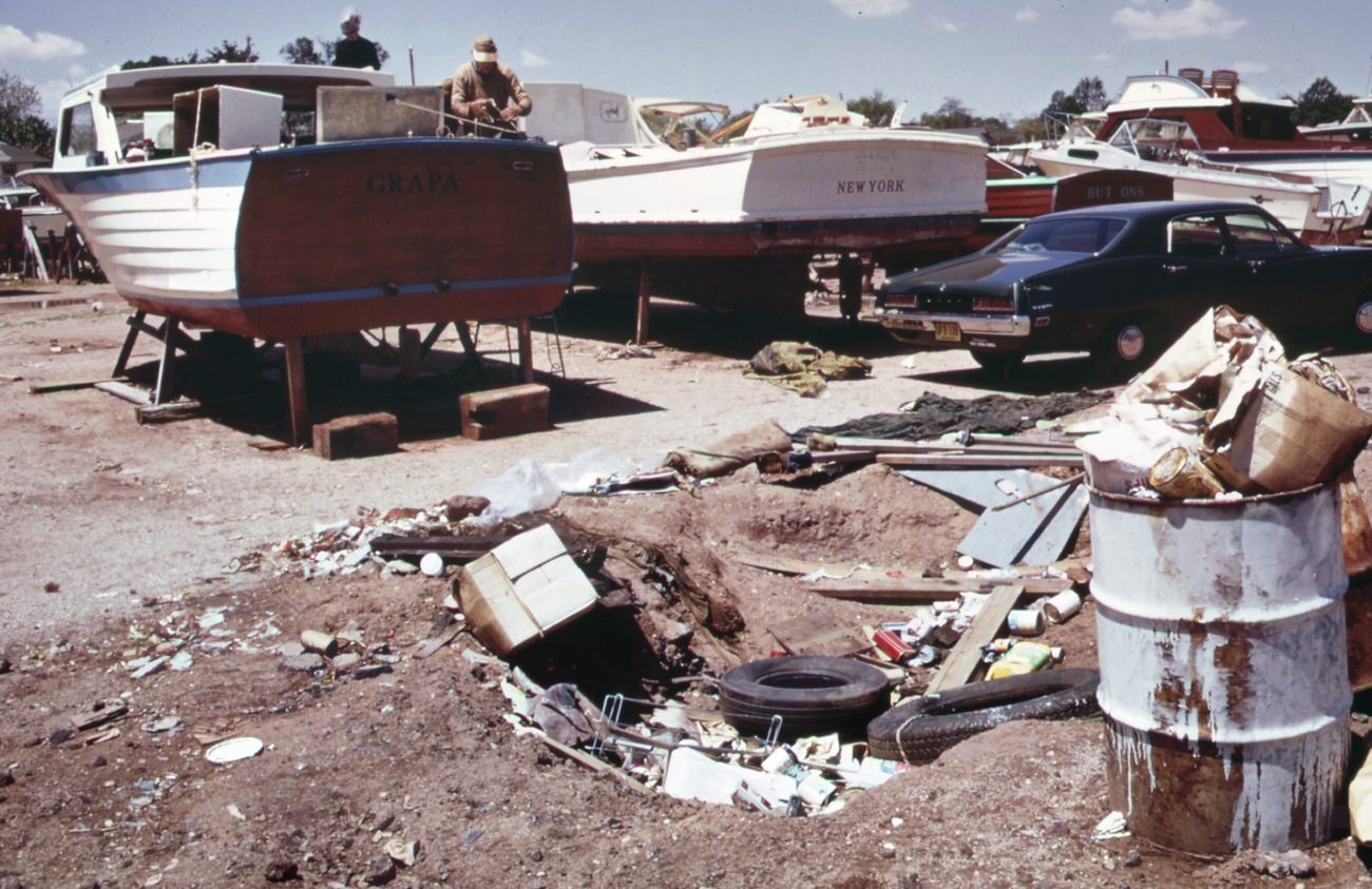
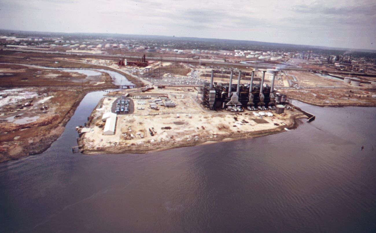
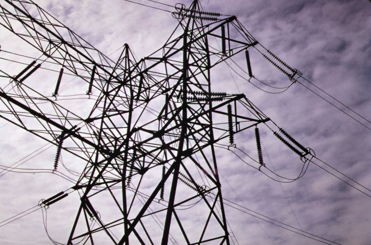
Power stations built on the borough’s marshlands added transmission lines and rail crossings that cut through what had been open wetland. At Great Kills Park, a marina created its own garbage and waste disposal problem. Streams near the park entrance were clogged with debris. Some areas of the park had been placed under the jurisdiction of Gateway National Recreation Area and were being developed for camping and environmental education — one of the few hopeful counterpoints to the broader crisis.
Electric power station, built on marshland on staten island, 1970sClogged stream at entrance to great kills park on staten island. Area has been placed under jurisdiction of the gateway national park. It will be developed for camping and environmental education, 1970s
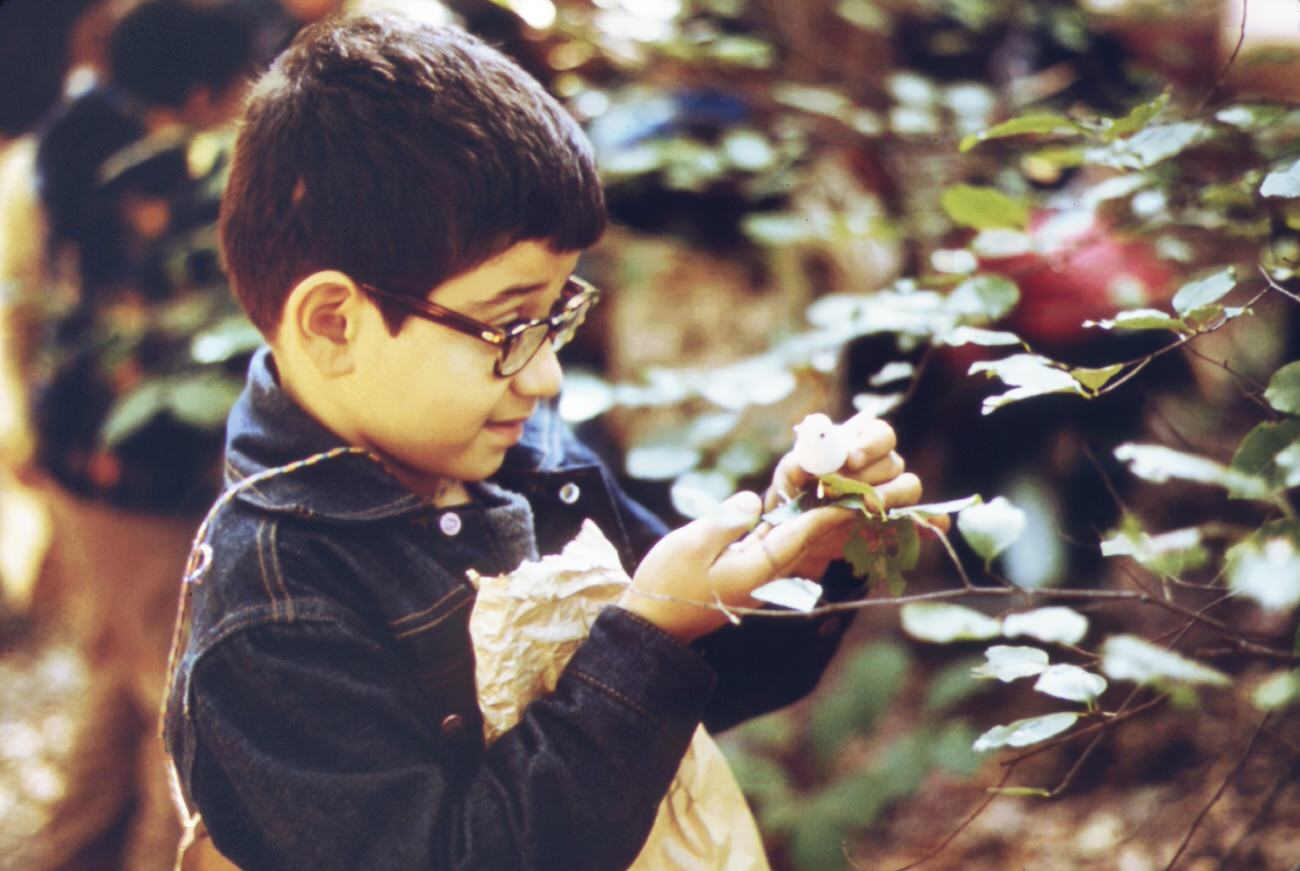
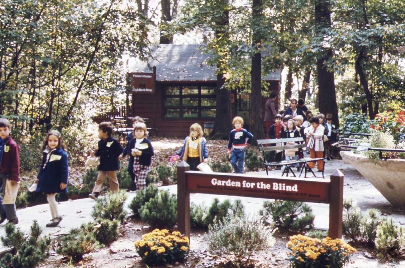
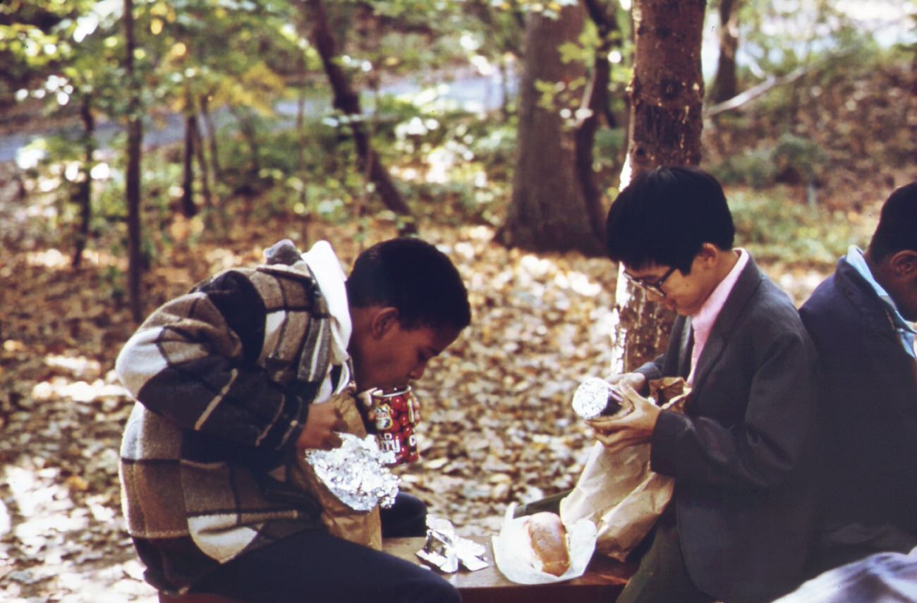
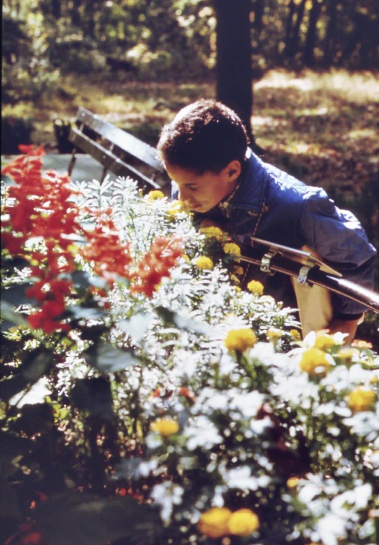
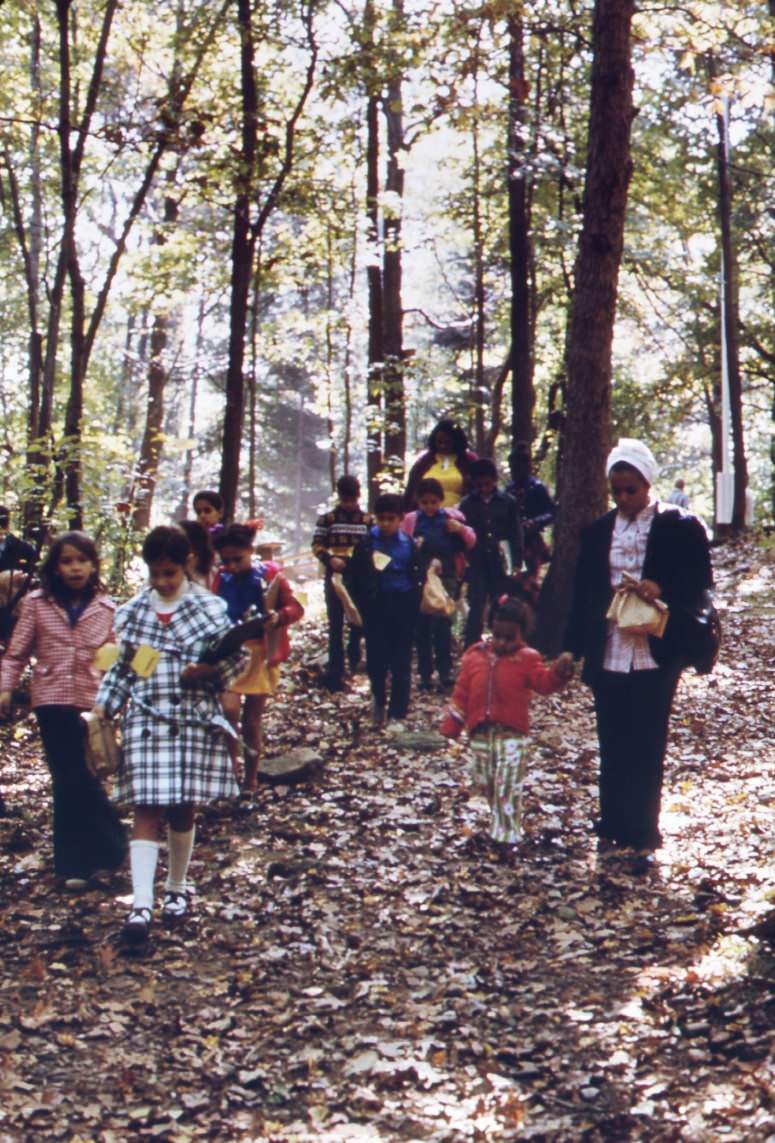
High Rock Park offered another rare exception. School groups from across New York City, including classes from PS 163, made regular trips to the park’s nature trails, wildlife preserves, and garden for the blind. Children pressed close to flowers and examined the natural world just a short distance from some of the most polluted shoreline in the city. The contrast was stark and deliberate — exactly the kind of tension the DOCUMERICA project was designed to expose.
Studying nature at high rock park on staten island. This group is from ps 163 in new york city. The park’s nature trails and wildlife refuges make it an attractive center for school excursions, 1970sTaking a close look at nature at high rock park on staten island. This boy is a member of a group from ps 163 in new york city school children are frequent visitors to the park, 1970s
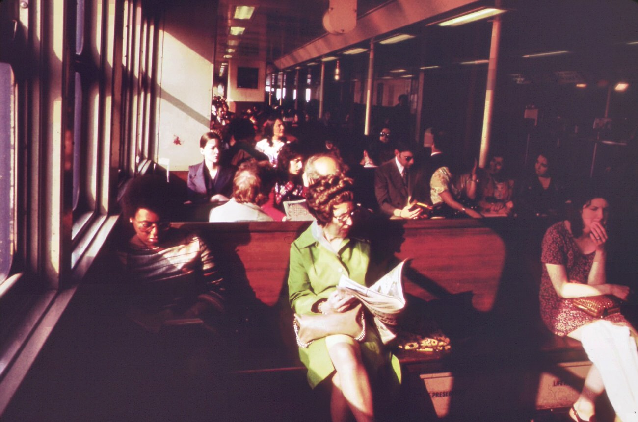
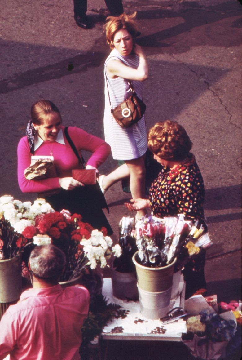
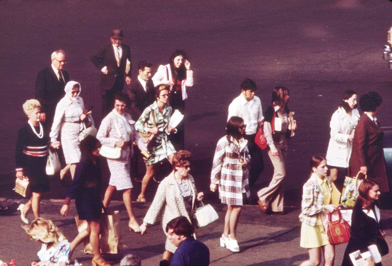
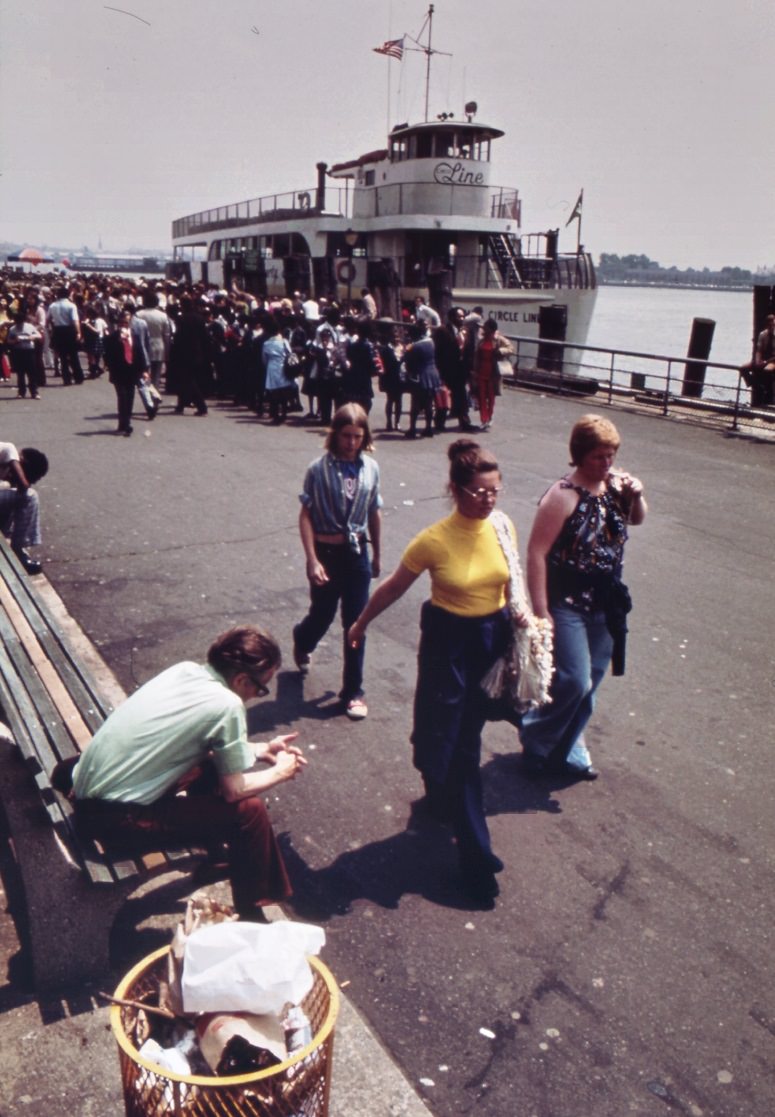
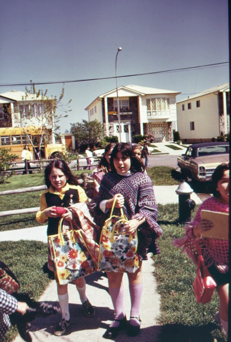
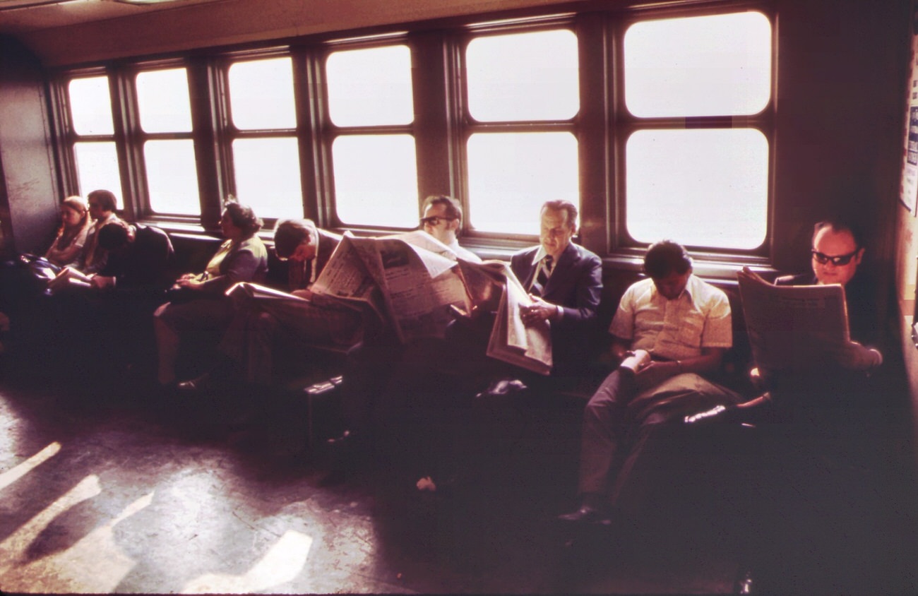
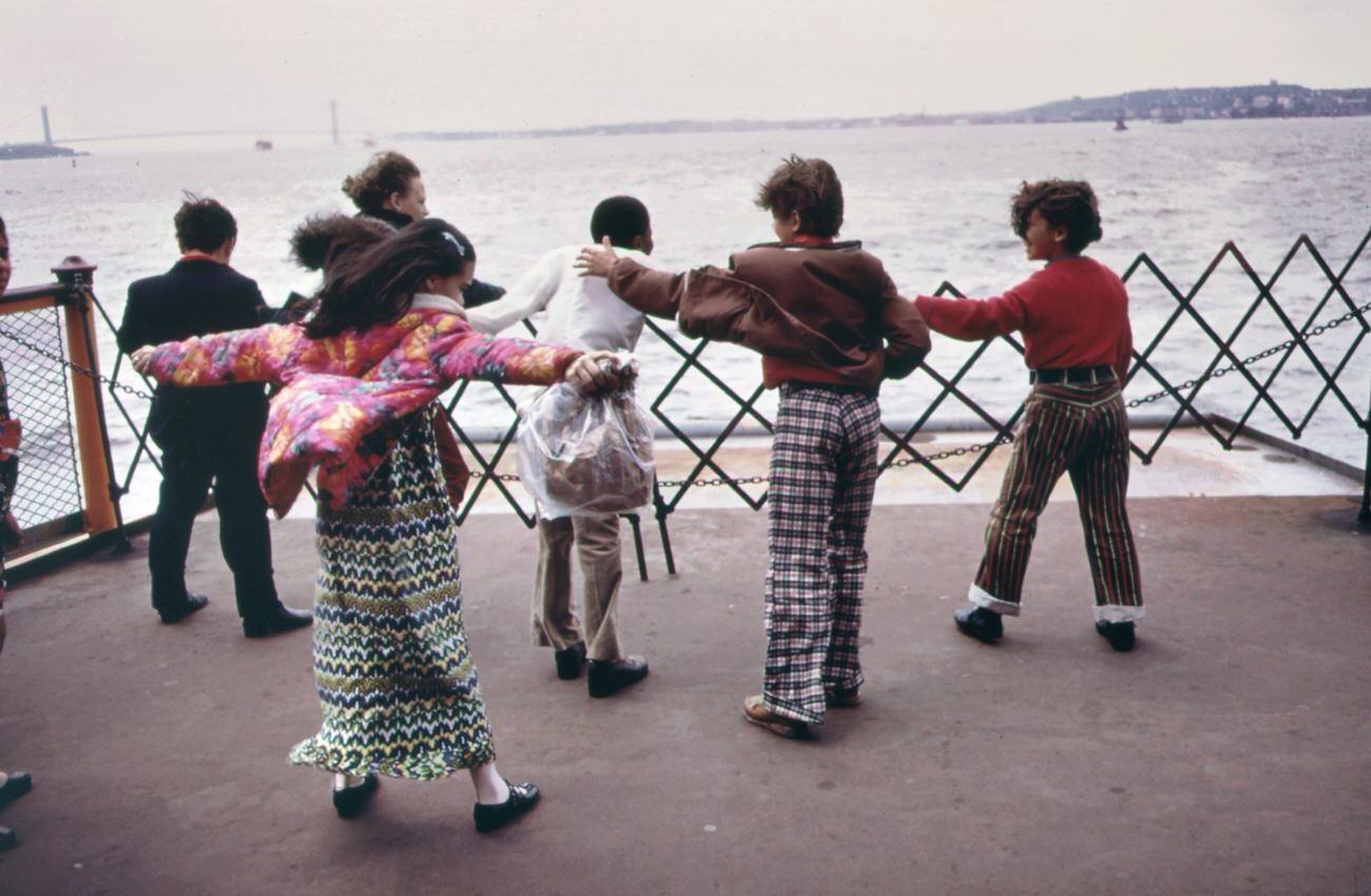
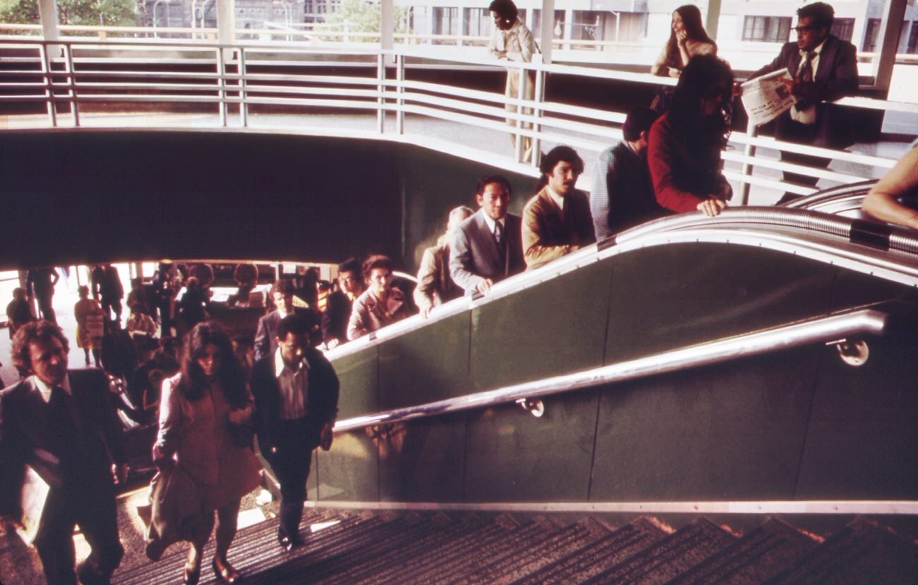
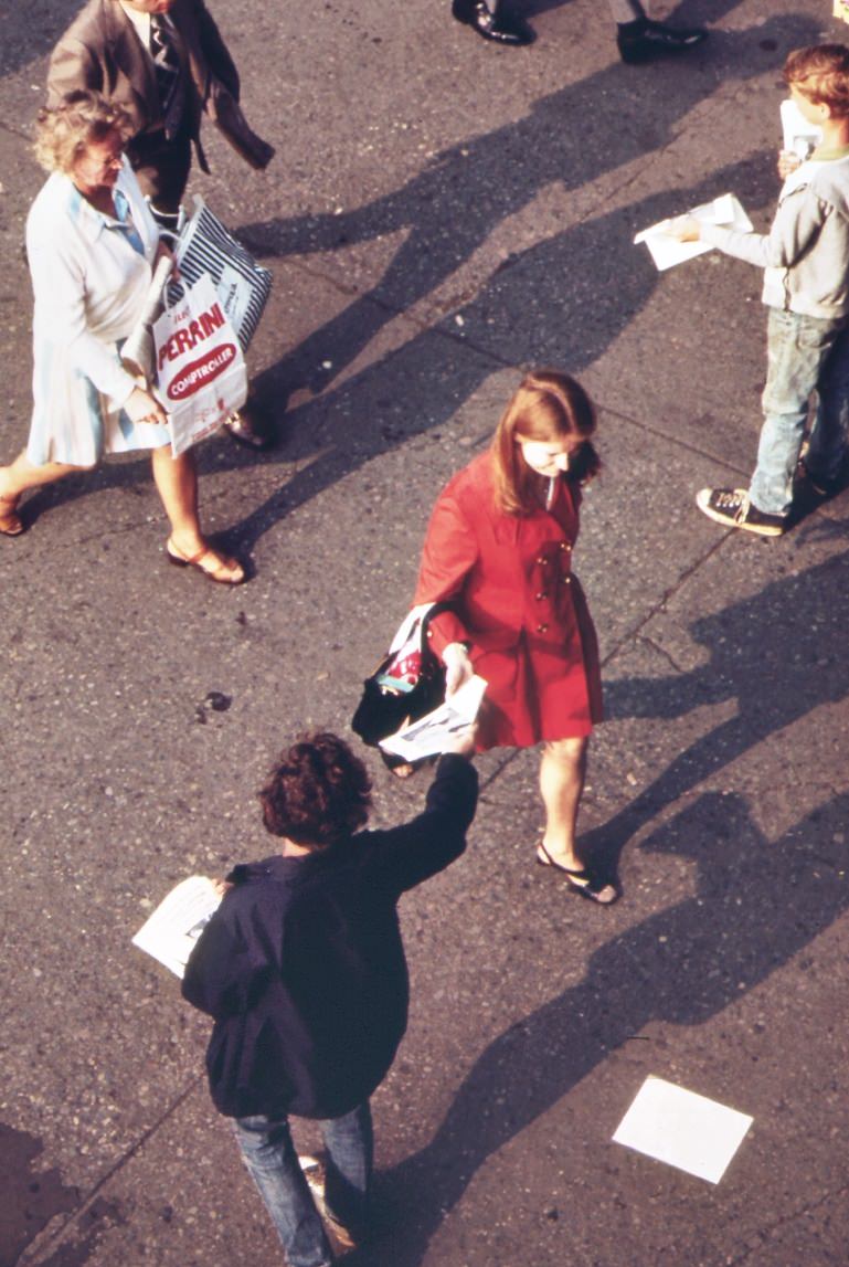
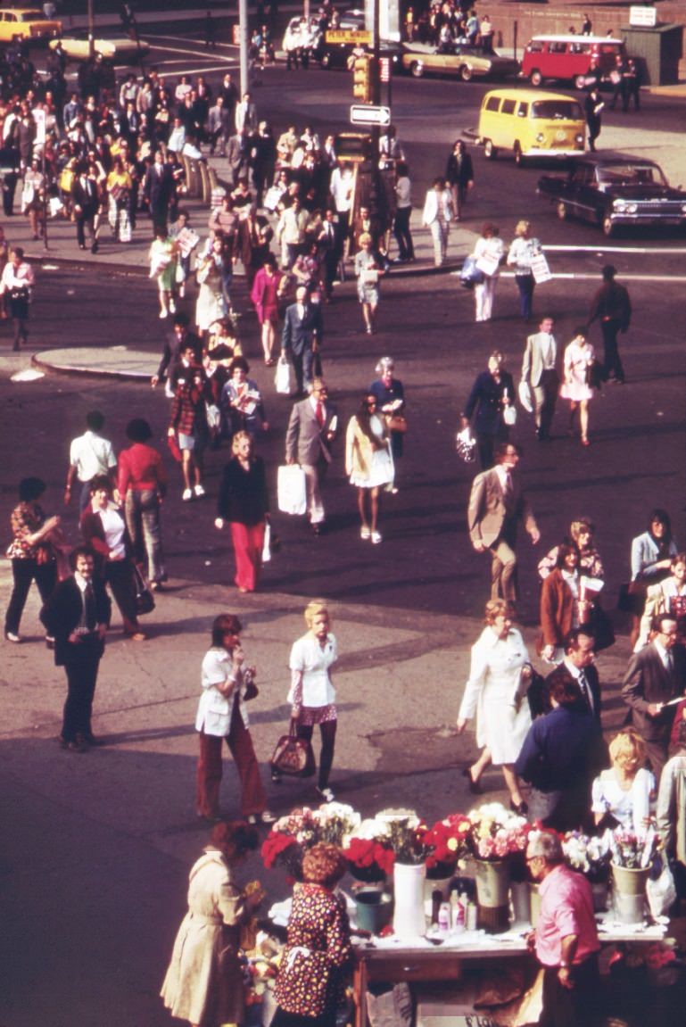
Daily life on Staten Island in the 1970s carried on against this backdrop. Commuters packed the Staten Island Ferry morning and evening, crossing Upper New York Bay with the smog-blurred skyline of Lower Manhattan ahead of them. Flower sellers worked the ferry terminal. Families ate lunch in their cars along Hylan Boulevard, and children walked home from school past construction sites and industrial corridors. The DOCUMERICA photographers documented all of it — the ordinary and the alarming — leaving behind one of the most detailed visual records of a borough in crisis.
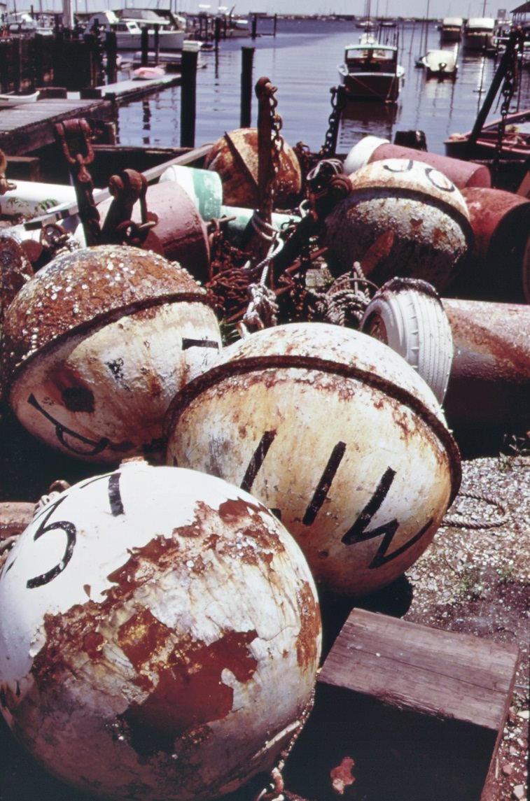
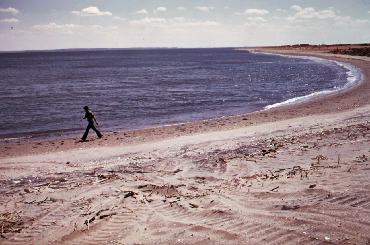
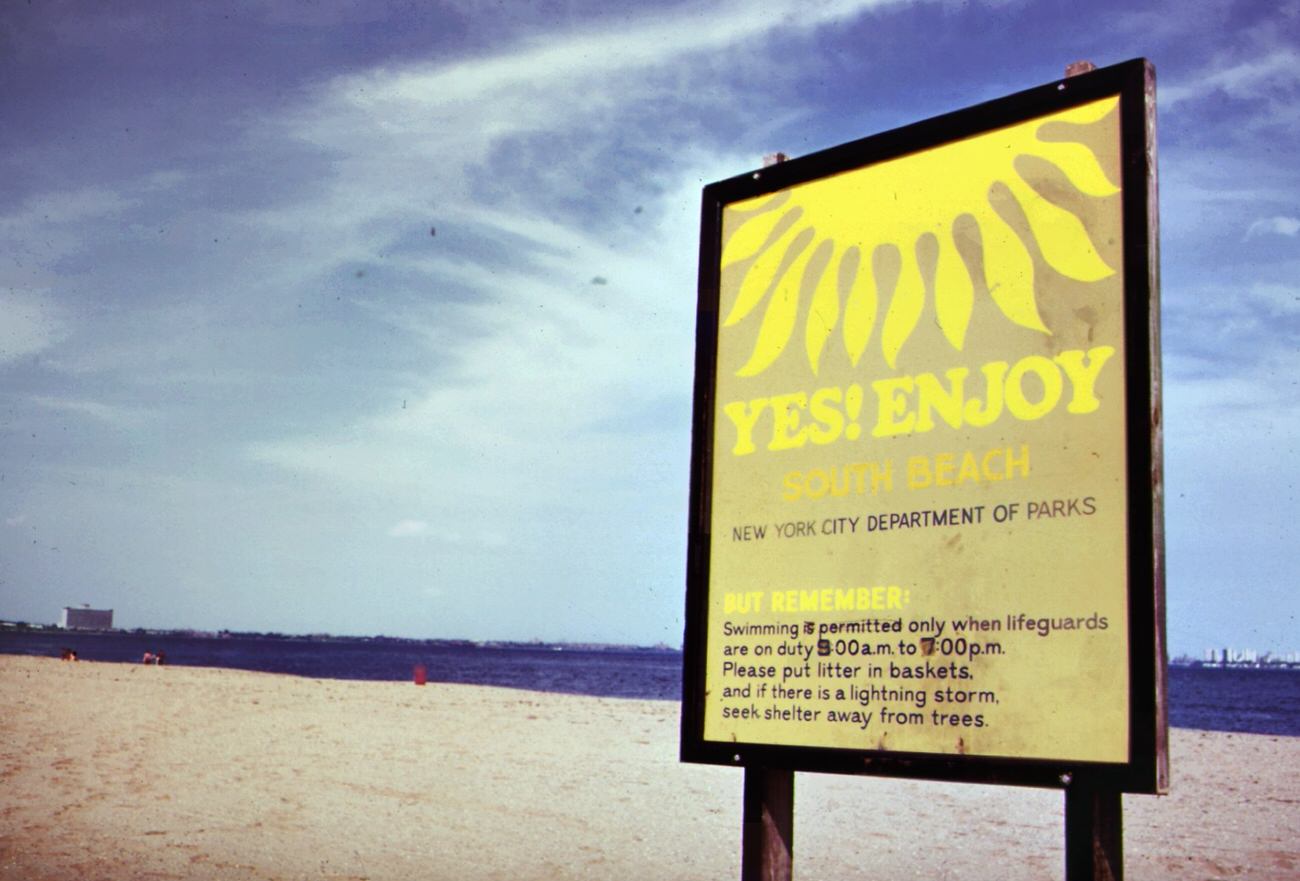
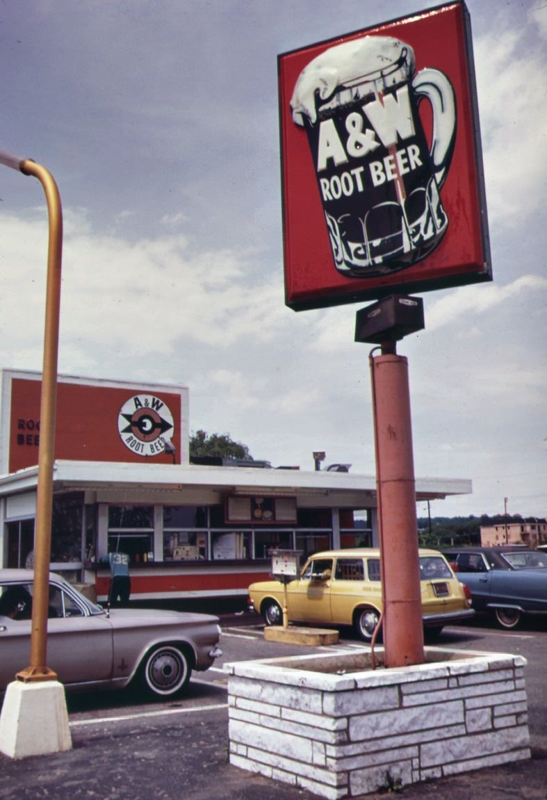
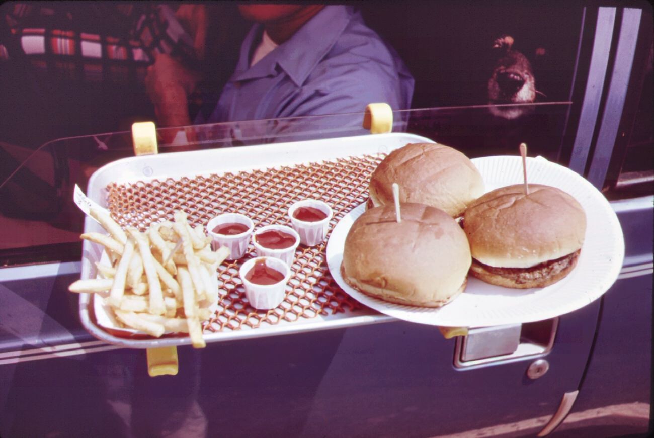
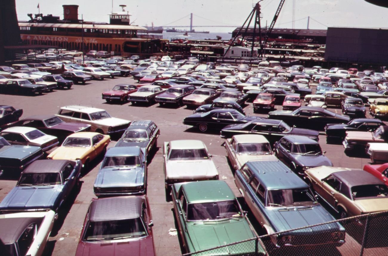
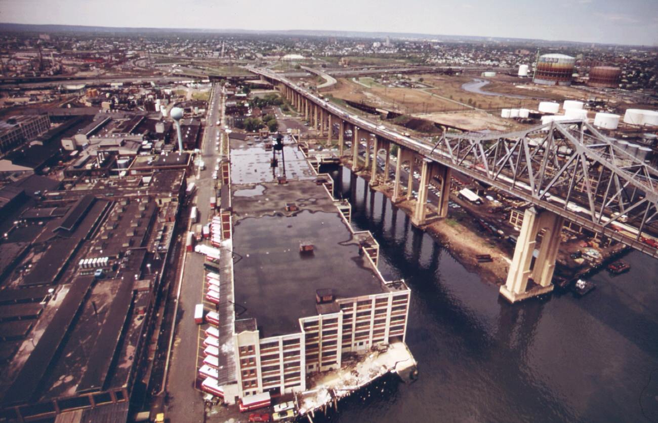
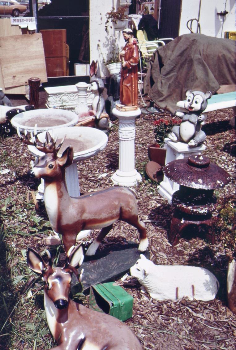
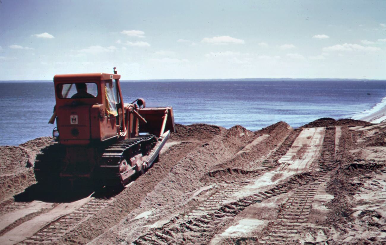
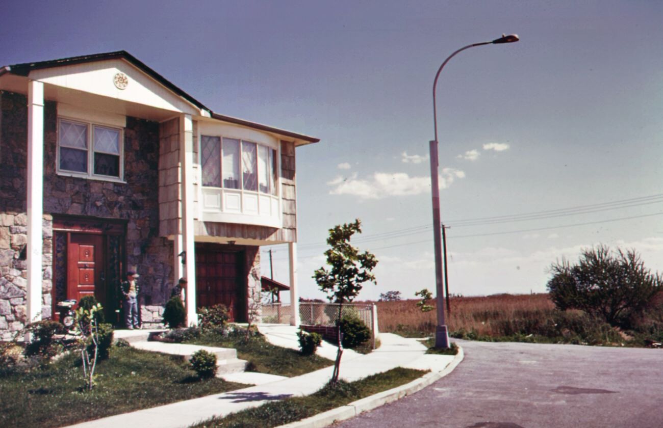
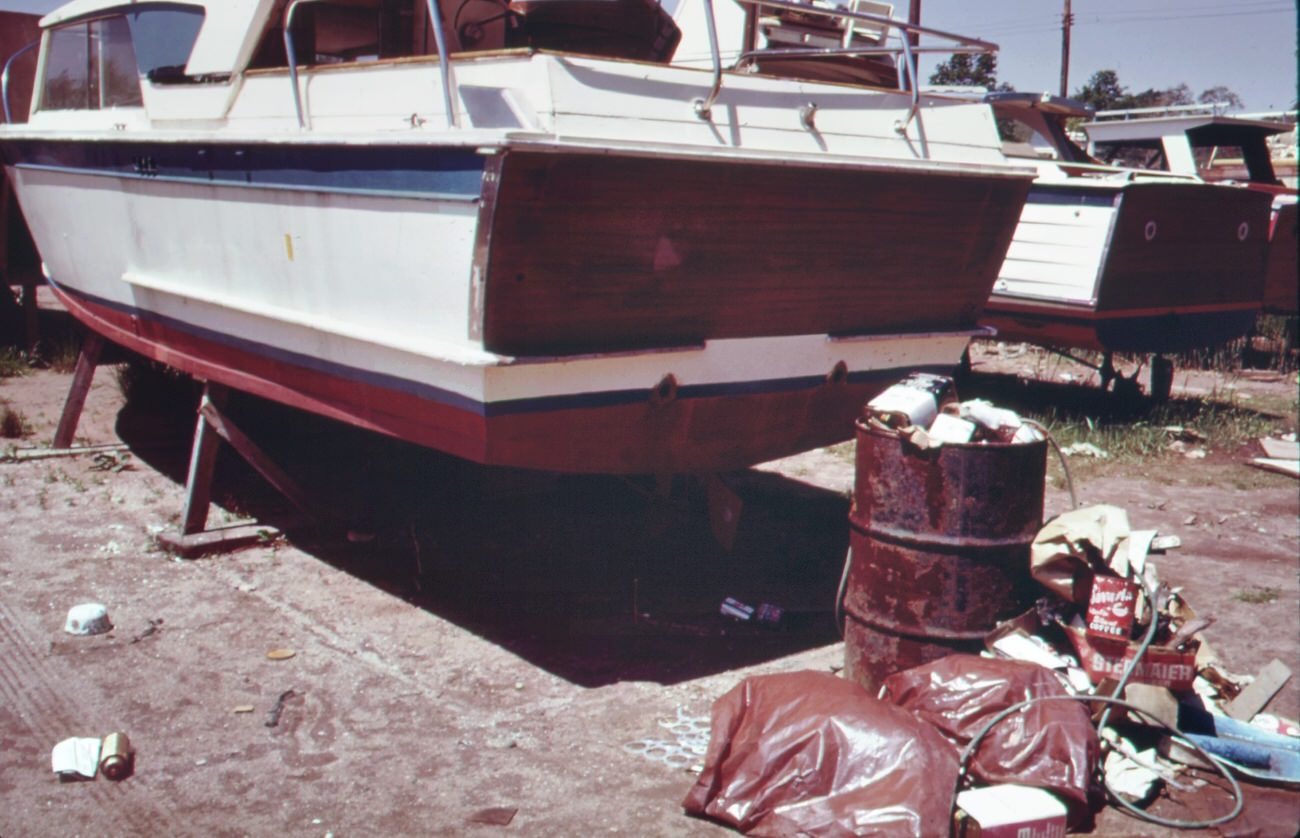
On hylan boulevard, staten island, 1970sManhattan skyline from the staten island ferry, 1970sNew york skyline from staten island ferry, 1970sOld buoys on wharf in staten island, 1970sBeach at great kills park on staten island, 1970sSouth beach, staten island, is safe for swimming, 1970sInterlude for relaxation on the staten island ferry, 1970sRoadside eating on hylan boulevard in staten island, 1970sLunch in the car-hylan boulevard, staten island, 1970sParking lot at ferry dock on staten island.1973Flower sellers at the staten island ferry terminal, 1970sHousing development in great kills area on staten island, 1970sCommuters entering the terminal of the staten island ferry, 1970sPublic warehouse beneath the goethals bridge to staten island, 1970sSouth beach, staten island. Verrazano-narrows bridge in background, 1970sGarden accessories for sale on hylan boulevard in staten island, 1970sThe staten island ferry in new york harbor’s upper bay, 1970sLandfill at fresh kills, staten island (just opposite carteret nj.), 1970sBattery park waterfront, lower manhattan. Staten island ferry in background, 1970sWidening the beach at great kills park on staten island, 1970sRecently built home at great kills park on staten island, 1970sSite of real estate development on hylan boulevard, staten island, 1970sGreat kills park marina on staten island creates a garbage problem, 1970s
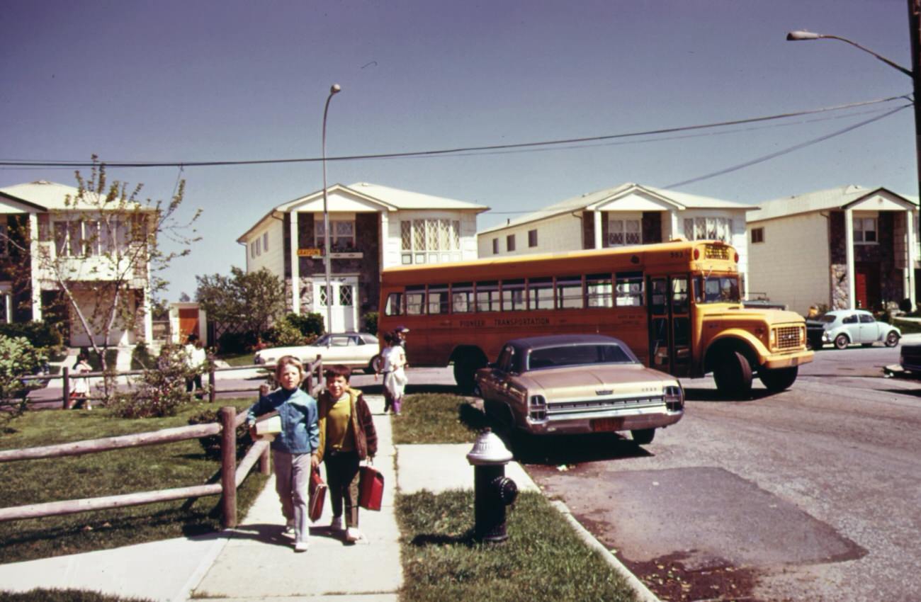
Youngsters going home from school at great kills on staten island, 1970s
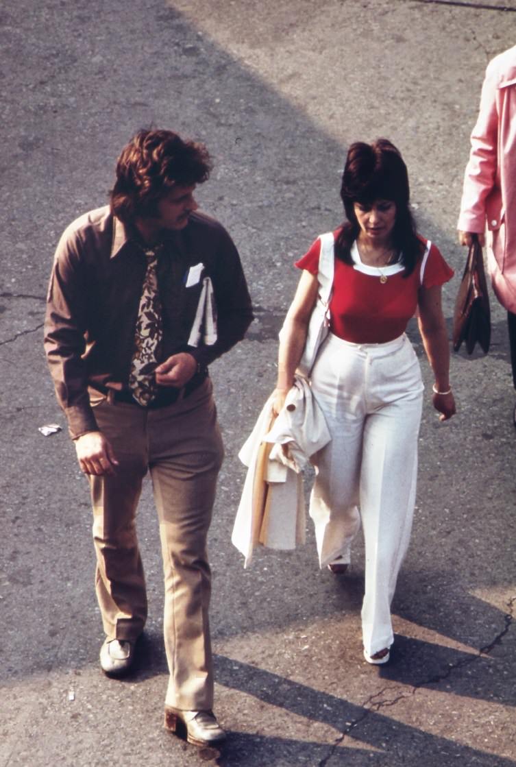
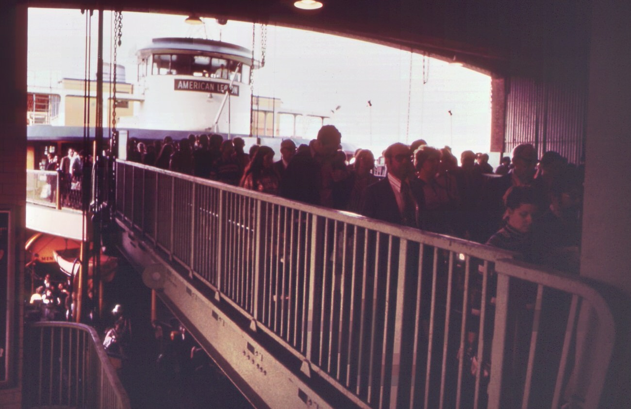
Approaching the entrance to the terminal of the staten island ferry, 1973
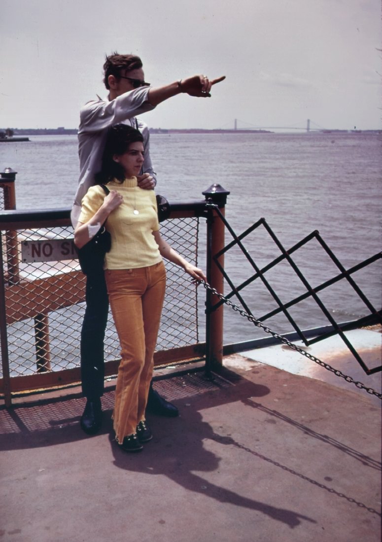
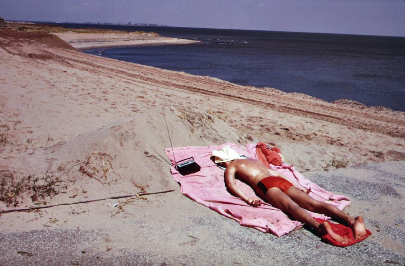
View of upper new york bay from the staten island ferry, 1970sOn the staten island ferry in new york harbor’s upper bay, 1970sLifeguard takes a sunbath at great kills park on staten island, 1970sRecently built homes on border of great kills park on staten island, 1970s
Transmission lines of electrical power station built on marshlands of staten island, 1970s
Commuter at entrance to the staten island ferry terminal in the battery, 1970s
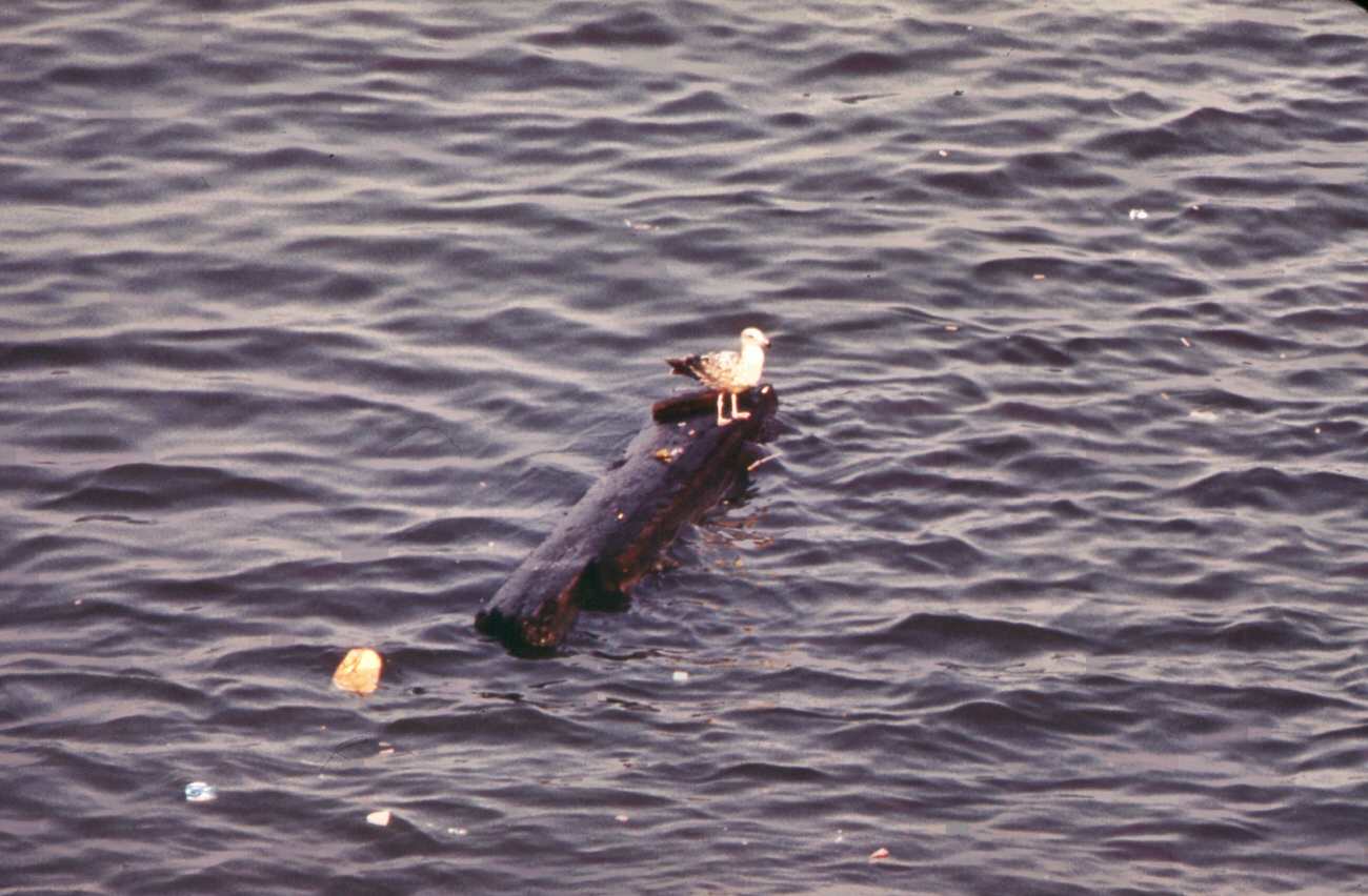
Transmission lines and railroad crossing at electrical power station on staten island, 1970sDumping landfill at fresh kills, on the west shore of staten island, 1970sRecently built home on border of great kills park in staten island, 1970sSchool excursion on the staten island ferry, crossing upper new york bay, 1970sSchool children on their way home in great kills, on staten island, 1970sCommuters at the staten island ferry terminal in lower manhattan’s battery park area, 1970sDumping area of new york city’s sanitation department at fresh kills, staten island, 1970sCommuters at the staten island ferry terminal in lower manhattan’s battery park area, 1970sGarbage scows from manhattan wait to be unloaded at the staten island landfill, 1970sGull floats on driftwood in new york harbor–seen from the staten island ferry, 1970sGarbage is towed down the east river to staten island landfill, manhattan in background, 1970sSwamp area near south beach, staten island. Towers of verrazano-narrows bridge in background, 1970sThe verrazano-narrows bridge crosses new york bay and connects staten island and brooklyn, 1970sGarbage is towed down the east river to staten island landfill, manhattan in background, 1970sTugboat tows garbage scows down the east river destination is the staten island landfill, 1970sView from carteret, nj, across the arthur kill to staten island scrapyard and ship graveyard, 1970sWorld trade center (left) and lower hudson river shipping seen from the staten island ferry, 1970sMarina at great kills park on staten island has created a waste disposal and littering problem, 1970sGarbage scow at fresh kills on staten island ready for unloading. Waste is used for landfill, 1970sThe phelps dodge copper refining center. Public warehouses on right beneath the goethals bridge to staten island, 1970s
Landfill is loaded on barges for use at fresh kills, on the west shore of staten island, 1970s
Docks at fresh kills on staten island. Scows are laden with solid waste for use as landfill, 1970s
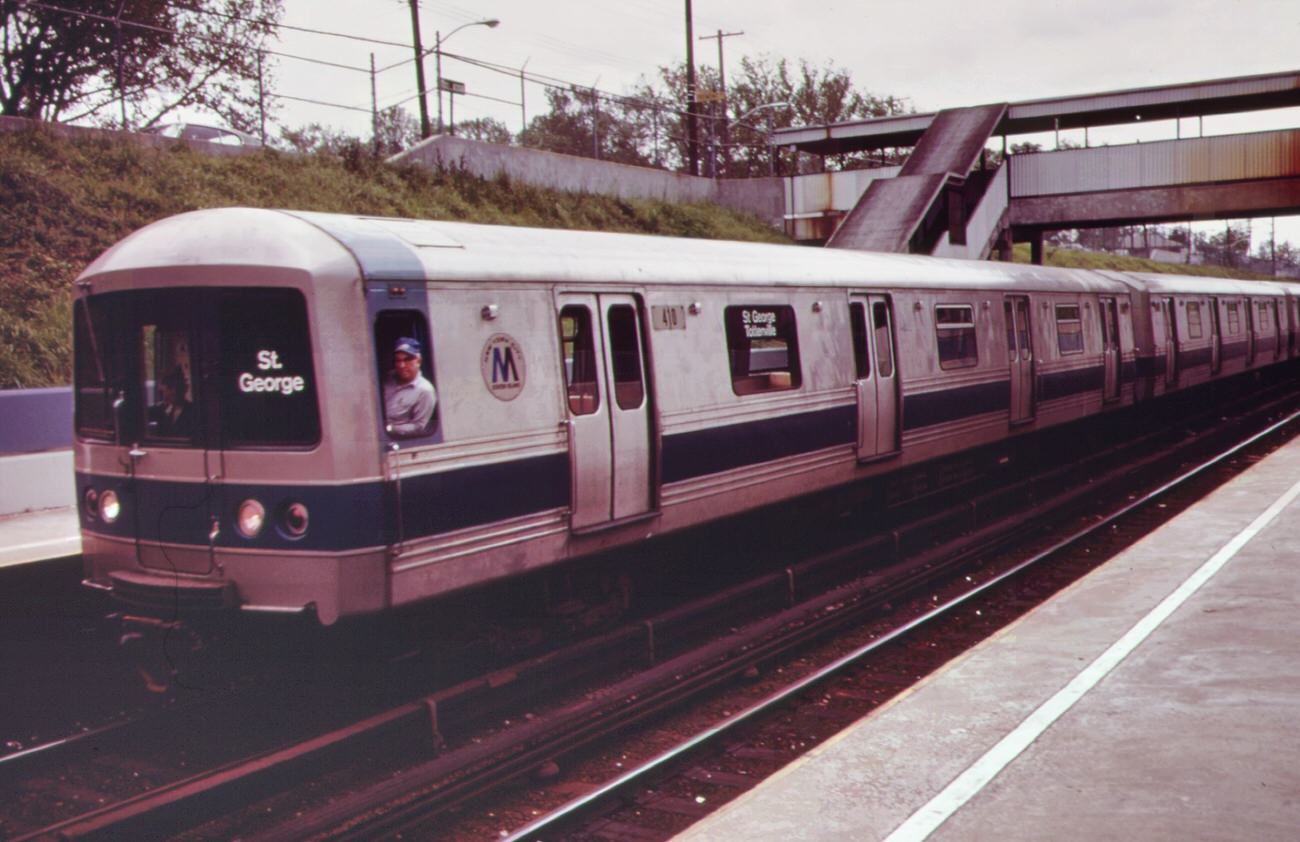
“cross the verrazano-narrows bridge and find good living in staten island”-a theme of the developers, 1970sWithout breaking stride, homeward bound commuter at the staten island ferry terminal reaches for leaflet from street distributor, 1970sAt staten island landfill. Garbage brought by barge from manhattan is dumped at outer edges of landfill area, 1970sAt staten island landfill. Garbage brought by barge from manhattan is dumped at outer edges of landfill area, 1970sAt staten island landfill. Garbage brought by barge from manhattan is dumped at outer edges of landfill area, 1970sConstruction at grant city, staten island-part of the building boom following completion of the verrazano-narrows bridge, 1970sOperator of steam-shovel used to unload garbage scows from manhattan sits in his cab at staten island landfill, 1970sGarbage scow at fresh kills on staten island, just east of carteret, nj. Waste will be used as landfill, 1970sFresh kills on staten island, just east of carteret, ny. Solid waste brought in on barges covers all available land, 1970sGarbage scows bring solid waste, for use as landfill, to fresh kills on staten island, just east of carteret, nj, 1970sNew housing at grant city, staten island-a result of the building boom following completion of the verrazano-narrows bridge, 1970sStaten island rapid transit, part of the new york subway system, connects the small towns of the borough of richmond, 1970sThe texas eastern gas tank (in background) on staten island as seen from the opposite side of arthur kill at port reading, 1970sYacht club cove on staten island: an “environmental” community of cluster housing around a central open space designed to preserve land values, 1970sChemical and containerized shipping of the union carbide company in the arthur kill. In the background is the outerbridge crossing to staten island, 1970sAmerican cyanimid and bp storage tanks on the new jersey side of arthur kill, with gulf oil tanks on staten island in background, 1970sKill van kull with bayonne in the background. Kill van kull is the body of water bounding staten island to the north, 1970s
Kill van kull with bayonne in the background. Kill van kull is the body of water bounding staten island to the north, 1970s
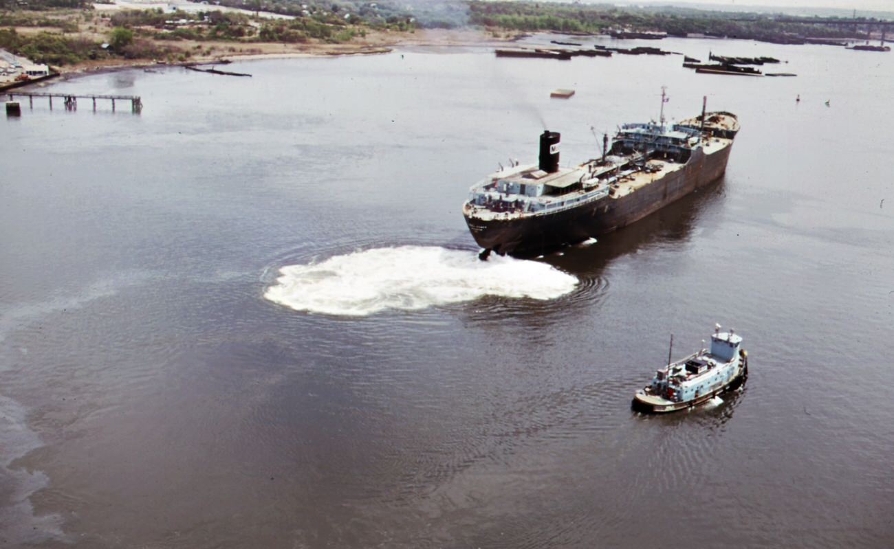
Oil tankers provide storage for a large variety of chemicals on arthur kill, the waterway which separates new jersey and staten island, 1970s
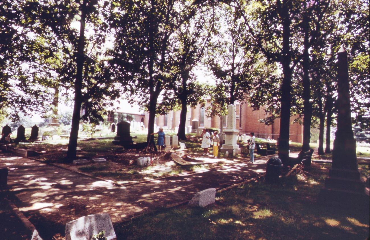
Tugboat herds two laden garbage scows down the east river from transfer point at 91st street. Destination is the staten island landfill, 1970sSolid waste covers land at fresh kills on staten island heavy tire tracks are left by trucks used in hauling waste from docks, 1970sThe mouth of arthur kill, the waterway which separates new jersey and staten island. It is the site of a huge petrochemical manufacturing complex, 1970sPetroleum shipping terminal at perth amboy on the arthur kill, showing oil slick from spill. In the background is the outerbridge crossing to staten island, 1970sTruck at the 91st street marine transfer station empties garbage into barge for trip down the east river to the staten island landfill dumping site, 1970sAt staten island landfill steam shovel loads carts with garbage brought by barge from manhattan. Carts will haul refuse to outer edges of dumping area, 1970sAt staten island landfill steam shovel loads carts with garbage brought by barge from manhattan. Carts will haul refuse to outer edges of dumping area, 1970sAt staten island landfill. Carts heaped with garbage brought by barge from manhattan are about to dump their loads at outer edges of landfill area, 1970sArthur kill road in staten island, looking south. Private houses are almost engulfed by encroaching industries. In background is the arthur kill and the new jersey shore, 1970sSolid waste is towed down the east river in barges. At staten island, it is transferred to carts, and then dumped at the already overflowing landfill, 1970sTugboat tows heaped-up garbage scow from the 91st street marine transfer station down the east river. Garbage will be dumped at the staten island landfill, 1970sUnloading garbage scows at staten island. Carts haul the waste material to the edges of the vast landfill area. There the refuse is dumped and burned, 1970sSt. Peter’s episcopal church and graveyard in perth amboy during the revolutionary war this historic church, originally built in 1702, was bombarded by the british from staten island, 1970sMobile oil tanker and tug boat on arthur kill–the waterway between new jersey and staten island which is the site of a huge petrochemical manufacturing complex, 1970sCommuters head for home at rush hour near the docks of the staten island ferries in battery park, lower manhattan. Some pause at a flower-sellers’ stand, 1970sOn the staten island ferry, looking back toward the skyline of lower manhattan. To the left of the cluster of buldings are the towers of the world trade center, 1970sGarbage truck at the 91st street marine transfer station (mts). From the mts, waste is carried by barge down the east river to the landfill dump on staten island, 1970sSt. Peter’s episcopal church and graveyard in perth amboy during the revolutionary war this historic church, originally built in 1702, was bombarded by the british from staten island, 1970sGarbage truck at the 91st street marine transfer station (mts). From the mts, garbage is carried by barge down the east river to the landfill dump on staten island, 1970sNew homes under construction on staten island. Building boom here was touched off by completion of the verrazano-narrows bridge, making area easily accessible to brooklyn and lower manhattan, 1970sPart of the 26,000 tons of solid waste that new york city produces each day. Tugs tow heavily-laden barges down the east river to the overflowing staten island landfill, 1970sPart of the 26,000 tons of solid waste that new york city produces each day. Tugs tow heavily-laden barges down the east river to the overflowing staten island landfill, 1970sPart of the 26,000 tons of solid waste that new york city produces each day. Tugs tow heavily-laden barges down the east river to the overflowing staten island landfill, 1970sPart of the 26,000 tons of solid waste that new york city produces each day. Tugs tow heavily-laden barges down the east river to the overflowing staten island landfill, 1970sPart of the 26,000 tons of solid waste that new york city produces each day. Tugs tow heavily-laden barges down the east river to the overflowing staten island landfill, 1970sPart of the 26,000 tons of solid waste that new york city produces each day. Tugs tow heavily-laden barges down the east river to the overflowing staten island landfill, 1970sPart of the 26,000 tons of solid waste that new york city produces each day. Tugs tow heavily-laden barges down the east river to the overflowing staten island landfill, 1970sPart of the 26,000 tons of solid waste that new york city produces each day. Tugs tow heavily-laden barges down the east river to the overflowing staten island landfill, 1970sHigh rock park, in staten island, has nature trails, wildlife preserves, and a garden for the blind. School children are frequent visitors. The group shown here is from ps 163, new york city, 1970sHigh rock park, on staten island, has nature trails, wildlife preserves, and a garden for the blind. School children are frequent visitors. The group shown here is from ps 163, new york city, 1970sIndustrial plant owned by agrico, overlooking the arthur kill, which flows between the new jersey shore and staten island behind the plant is the avenel housing community, and further back the colonial tank farm, 1970s
At high rock park on staten island, a member of a group from a new york city public school takes a close look at a bed of flowers. School children are frequent visitors to the park, 1970s
At high rock park on staten island, a member of a group from a new york city public school takes a close look at a bed of flowers. School children are frequent visitors to the park, 1970s
Arthur kill road on, looking north. This is an area of high density petrochemical shipping and industry, with an attendant high level of pollution, 1970sTransmission lines of electrical power station built on staten island marshland. Opening of verrazano bridge brought huge increase in construction to area, 1970s