

Norfolk, Virginia entered the 1950s riding a wave of momentum. The city had weathered the Great Depression and played a massive role during World War II as a key military port. By the time the new decade arrived, Norfolk was ready to grow — and grow fast. Its port and shipping industries hummed with activity, factories expanded, and retail districts filled with new shops and customers. People arrived from across the region looking for work and a fresh start, swelling the city’s population and changing the character of its neighborhoods.
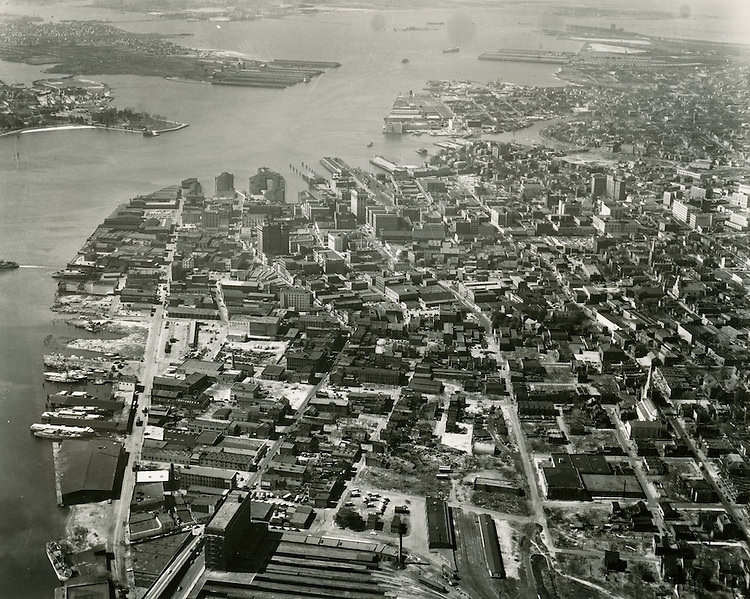
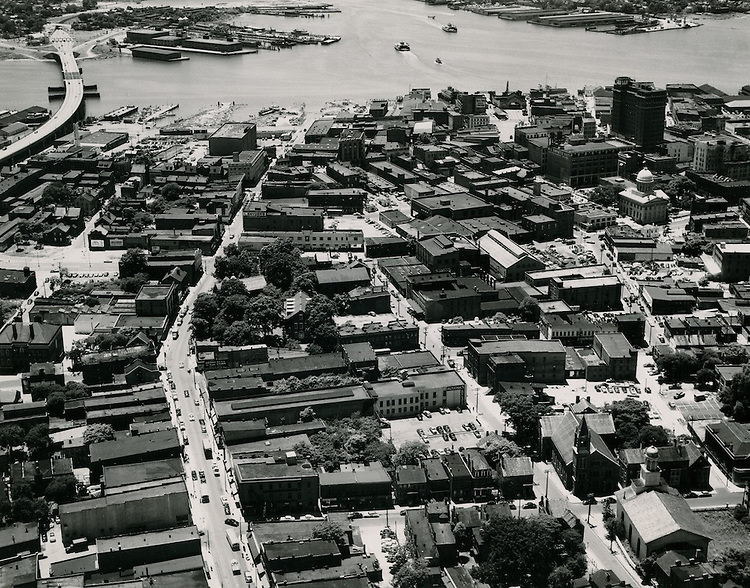
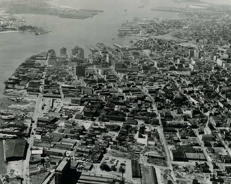
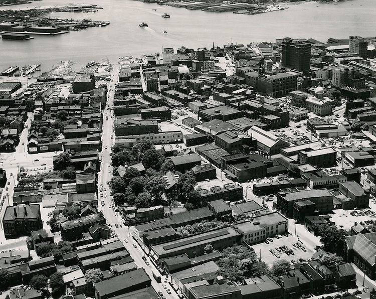
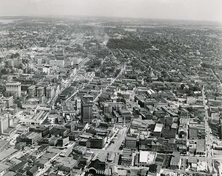
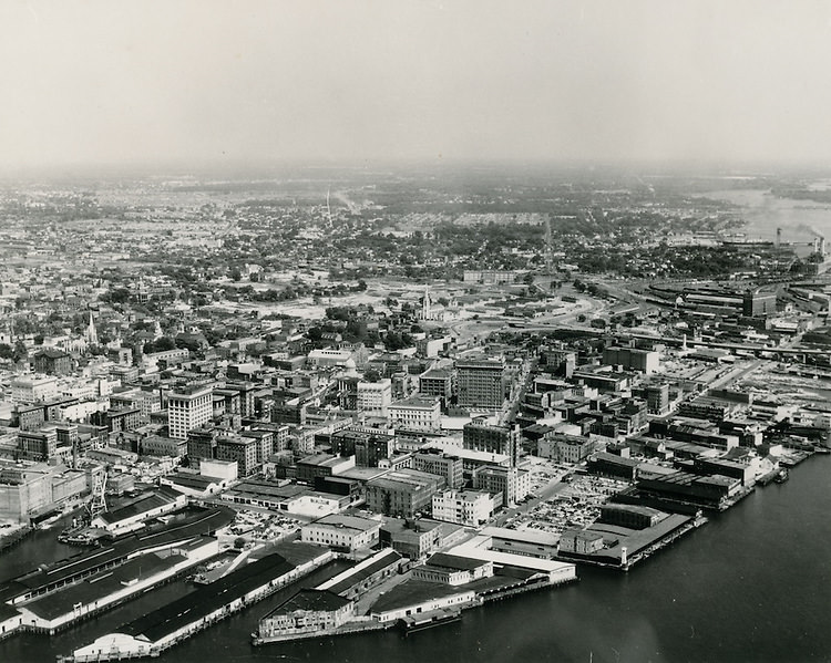
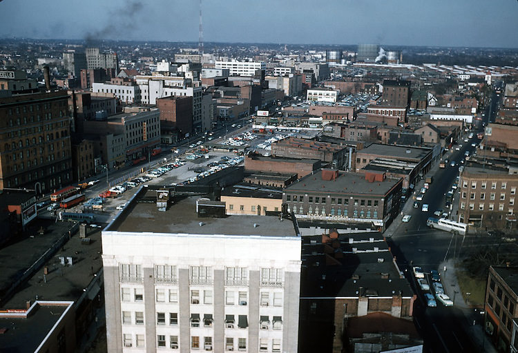
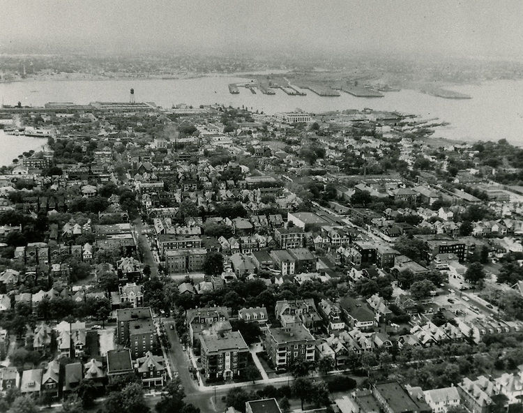
From the air in 1950, Norfolk’s layout tells the whole story. Dense blocks of buildings press close to the waterfront. Streets fan out from the core in every direction. The city’s bones — its port, its commercial spine, its residential neighborhoods — are all visible at once. This was a city that had been built up layer by layer, and in the 1950s, it was about to be reshaped in dramatic ways.
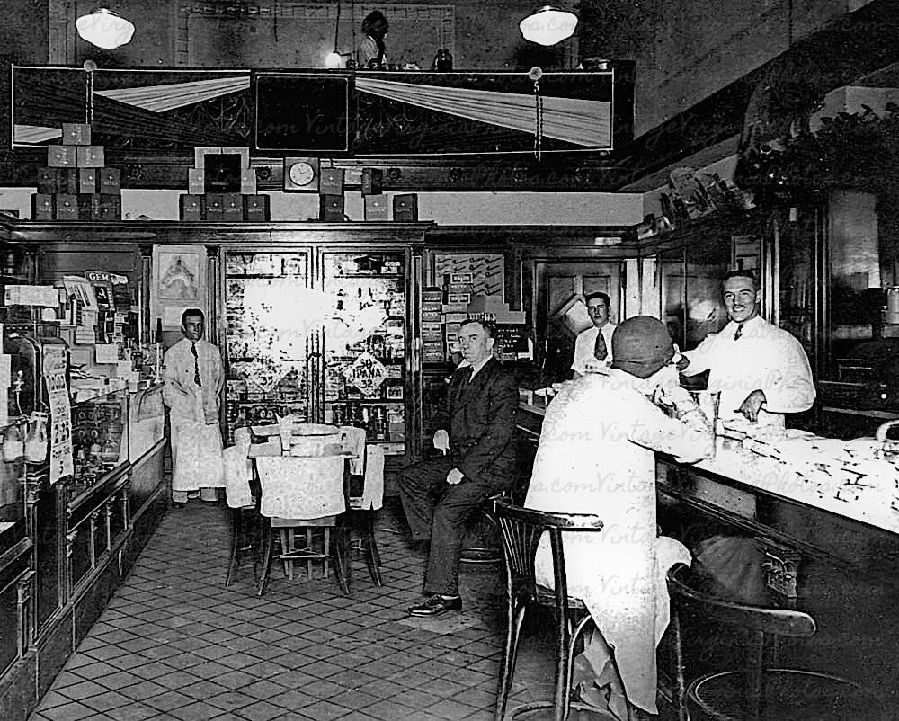
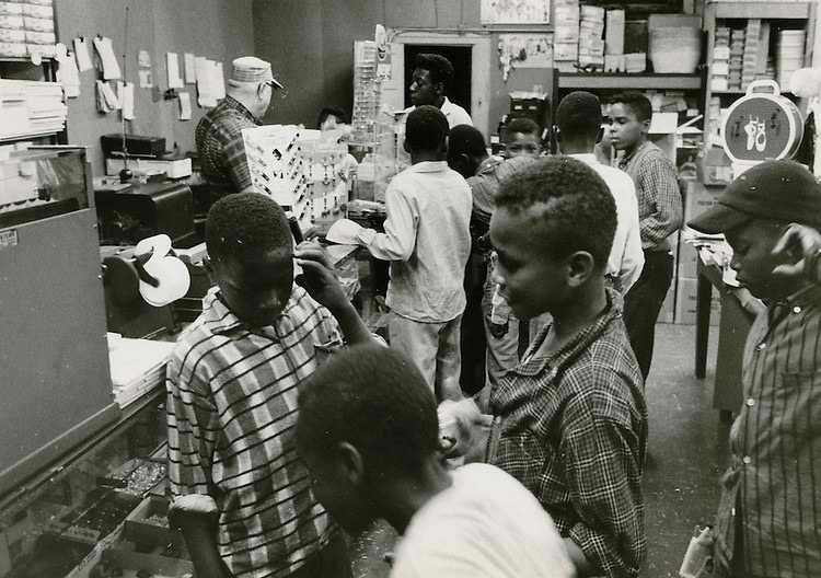
At street level, the city was alive with commerce. Drug stores and soda fountains were gathering spots where neighbors met, students stopped after school, and workers took a midday break. These small businesses were woven into the daily rhythm of Norfolk life. The soda fountain counter was a democratic institution — anyone with a dime could pull up a stool.
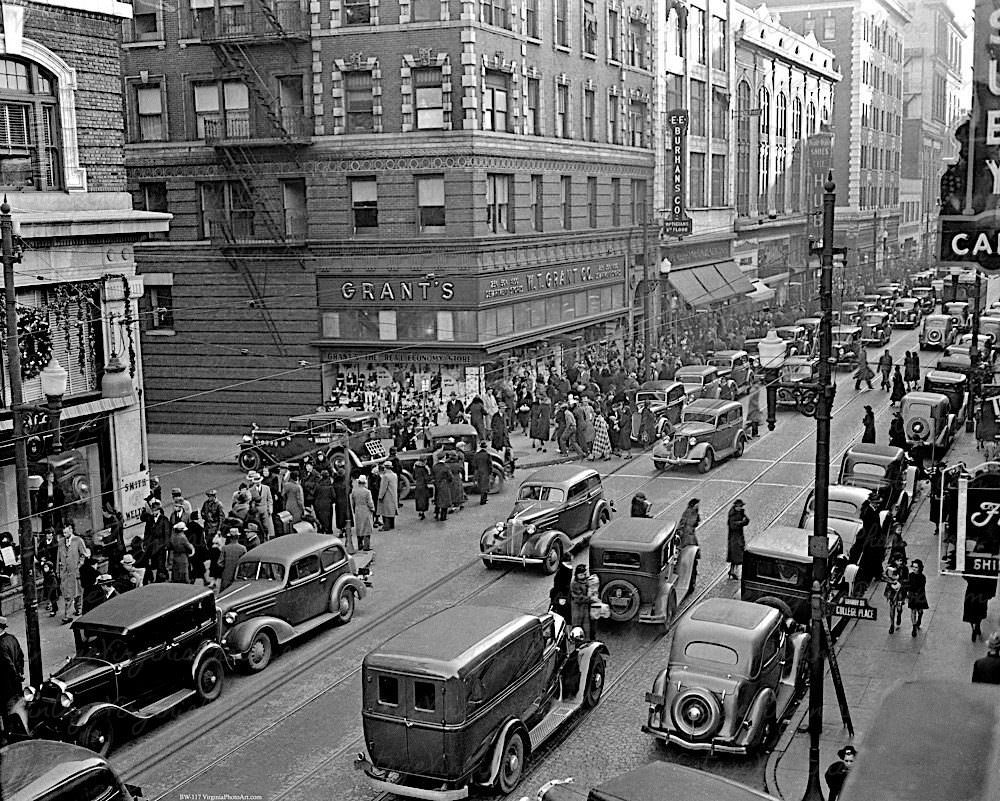
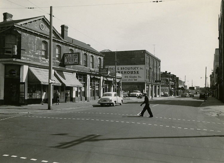
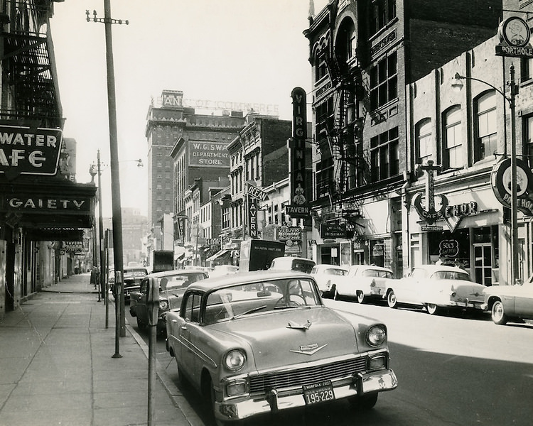
Granby Street was the commercial heart of downtown Norfolk. Department stores anchored the blocks, drawing shoppers from across the city and surrounding communities. Grant’s Department Store at College Place was one of the key stops along this busy corridor. The sidewalks here stayed crowded on weekdays and weekends alike, and Granby Street’s storefronts represented the best of what postwar consumer culture looked like in a mid-sized American city.
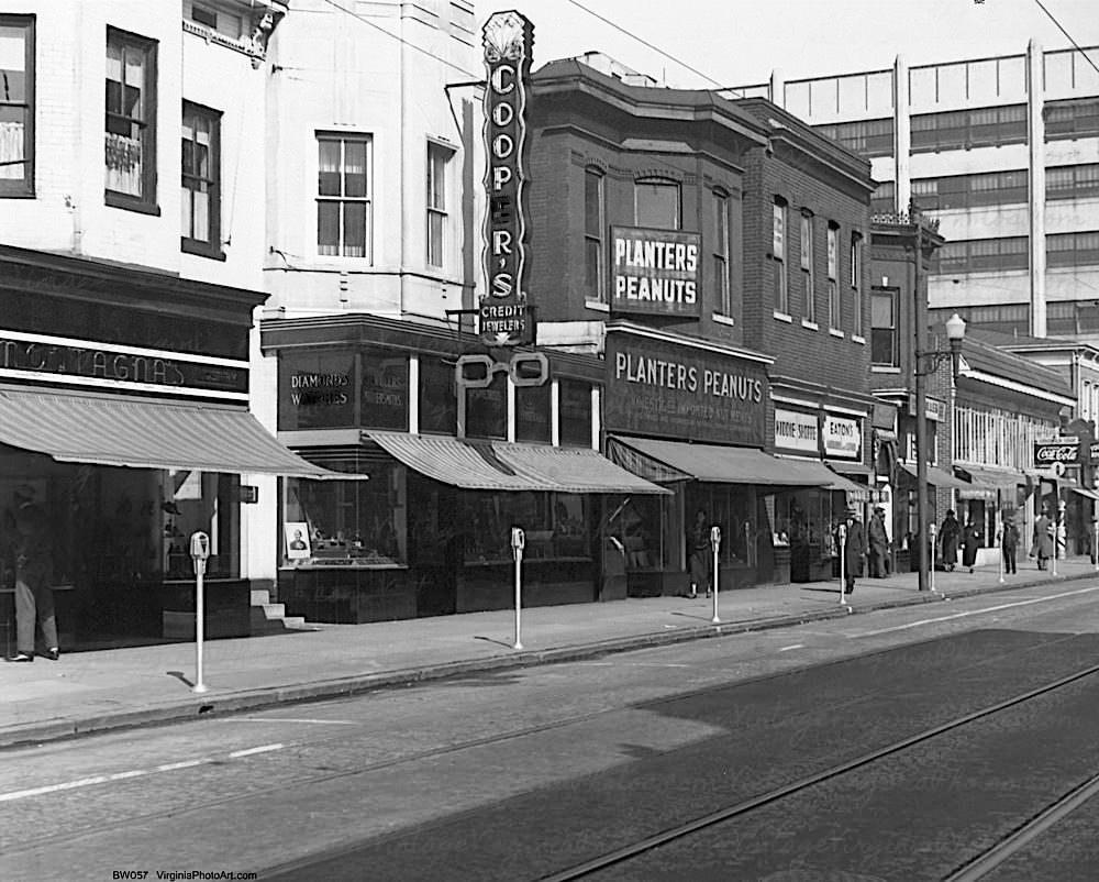
Downtown Norfolk wasn’t just about shopping. It had a distinct local flavor, too. The Planters Suffolk Peanut Company’s downtown store put Virginia’s most famous snack product right at the center of the city. Suffolk, just a short distance away, was the peanut capital of the world, and this store connected Norfolk shoppers directly to that agricultural identity. Peanuts were a regional staple, and seeing the Planters name on a downtown storefront felt as Norfolk as the harbor itself.
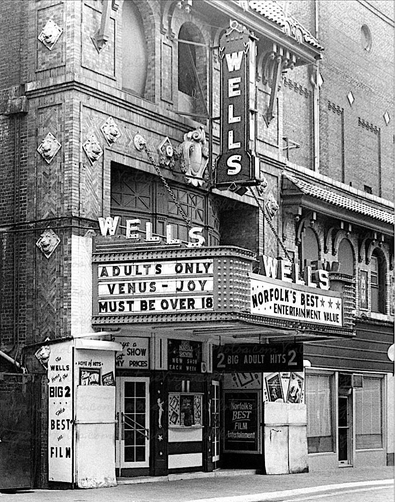
Norfolk’s theater scene in the 1950s gave residents a rich entertainment life. The Wells Theater on Granby Street was one of the grandest venues in the city, with an ornate interior that made every visit feel like an occasion. First opened in 1913, it remained a working theater throughout the decade.
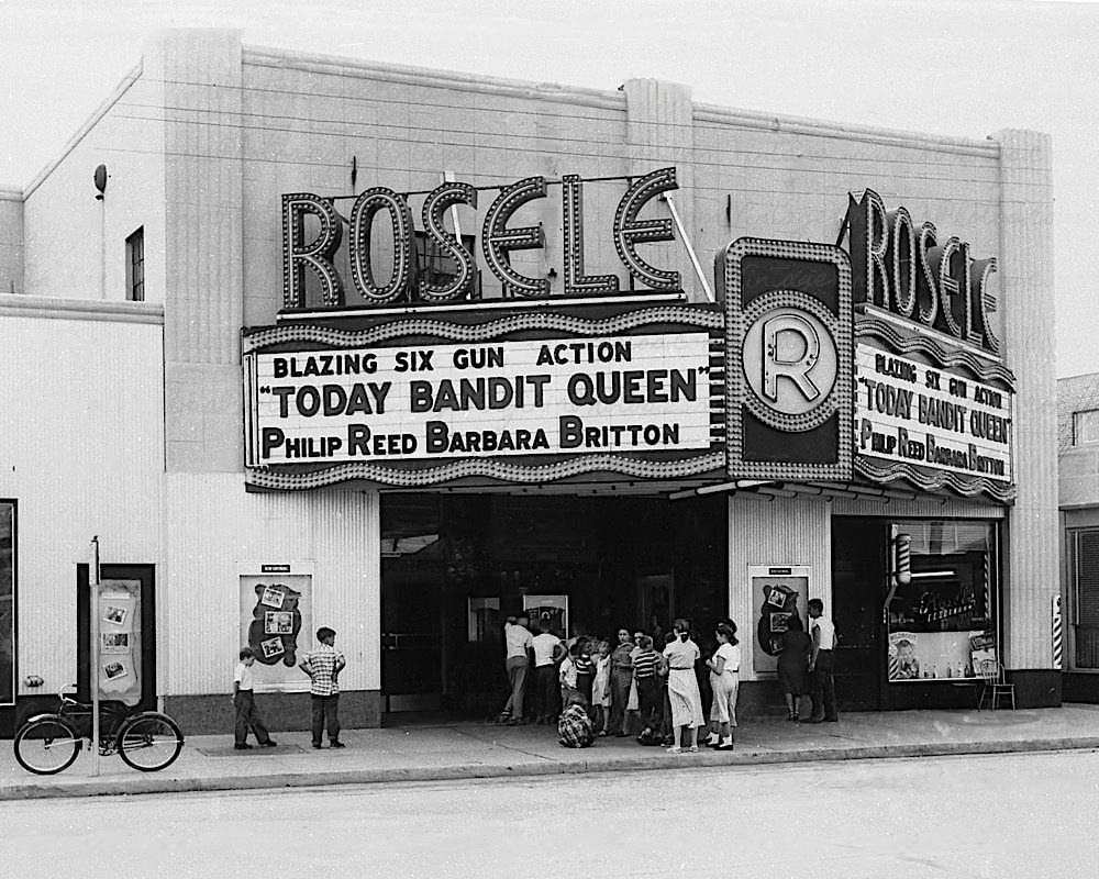
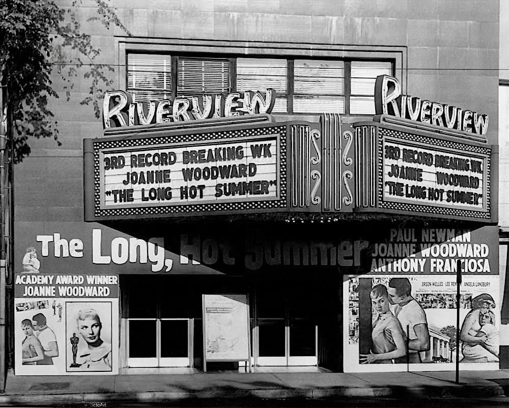
Neighborhood theaters like the Riverview and the Roselle gave residents closer to home a place to catch the latest films without trekking downtown. In 1951, the Roselle was showing ‘Bandit Queen,’ a western that drew crowds through its doors. By 1958, the Riverview Theater was a fixture in its community, a place where locals watched movies in a setting that felt personal and familiar.
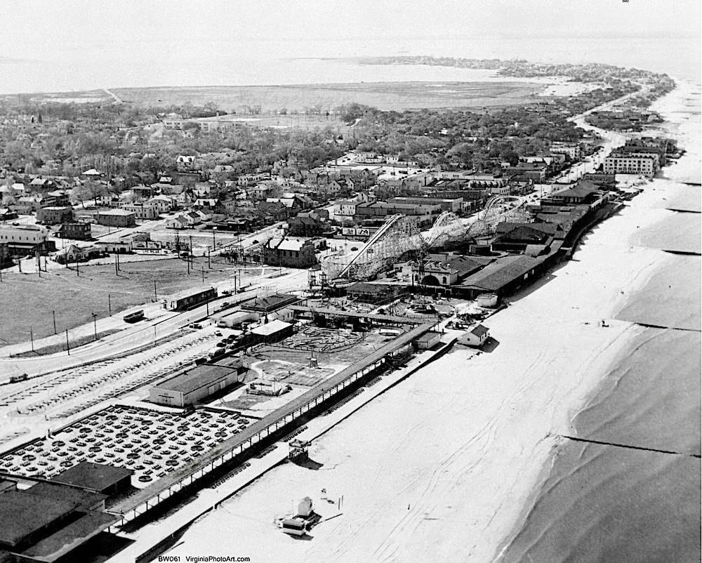
Ocean View Amusement Park was one of Norfolk’s biggest draws for families. The 1954 aerial photograph shows the full scale of the park — roller coasters, rides, and the shoreline of the Chesapeake Bay stretching out behind it. Ocean View was a summer destination that brought people from across the Hampton Roads area. It had been a beloved fixture since the early twentieth century, and in the 1950s it was still going strong, packed with visitors during the warmer months.
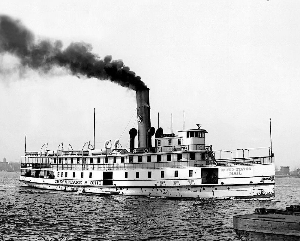
The waterfront was always central to Norfolk’s identity. The Steamboat Virginia Mail was one of the vessels that moved people and goods along the region’s waterways during the decade. Norfolk’s position on the Elizabeth River and its proximity to the Chesapeake Bay made maritime commerce a constant feature of city life. Docks along the Freemason area buzzed with loading and unloading, and the sight and sound of working ships was part of everyday Norfolk.
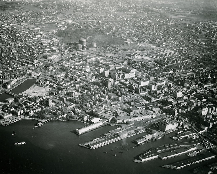
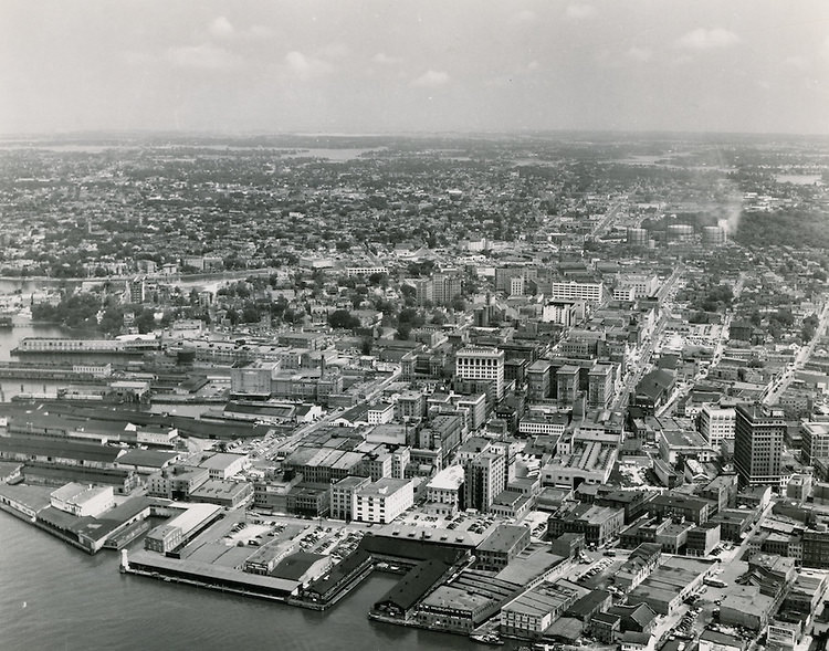
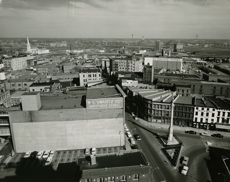
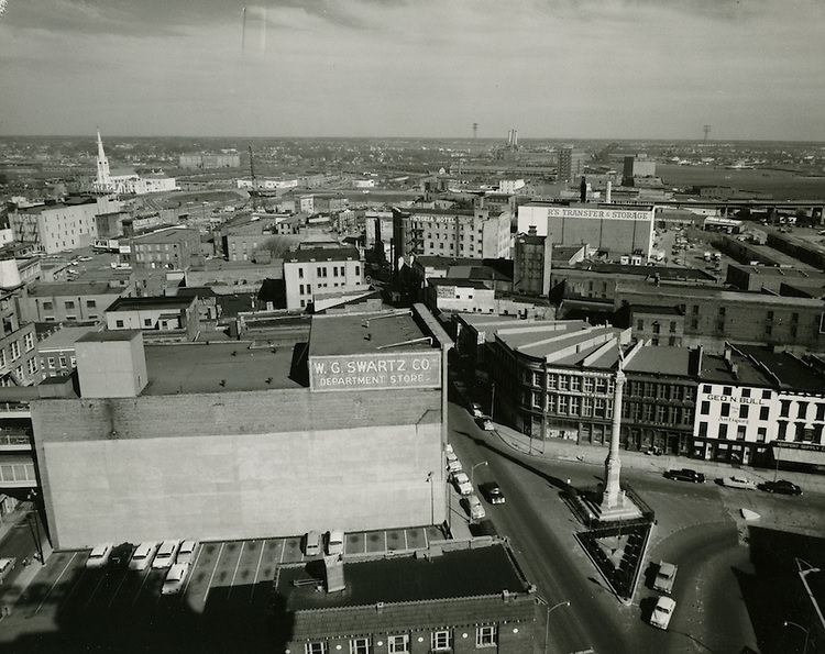
Looking across downtown from the air, the concentration of buildings along the waterfront and the tight street grid of the commercial district become striking. The 1951 view looking northwest shows a city that was still very much organized around its pre-war layout — dense, compact, and tightly connected to the water.
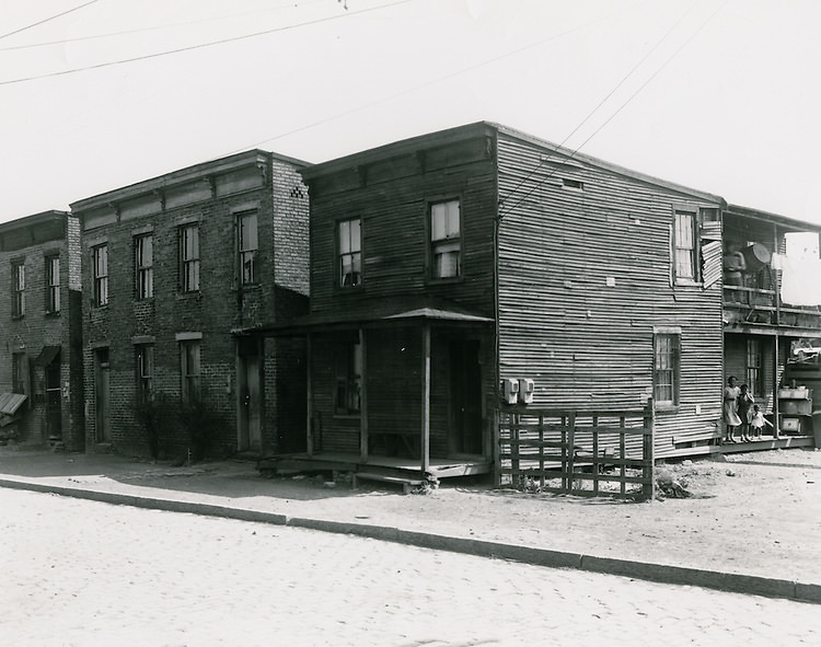
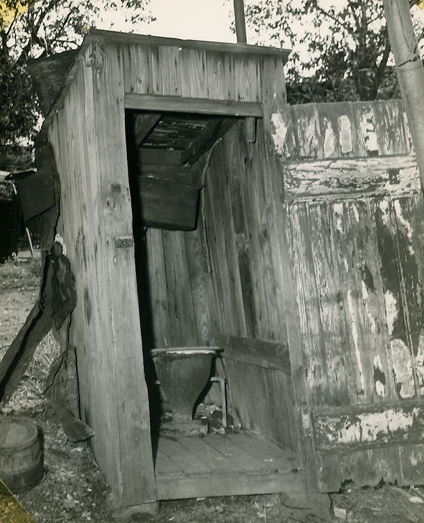
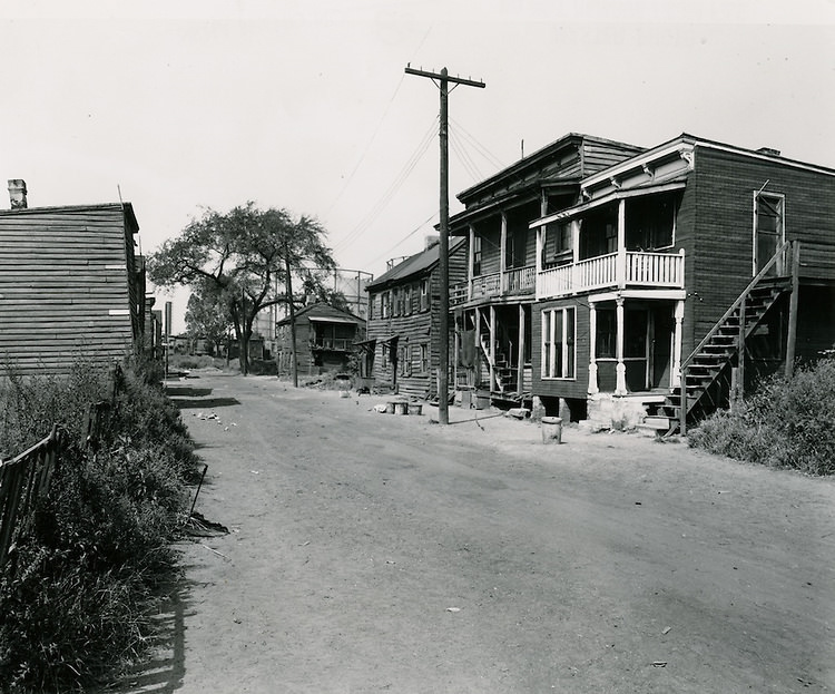
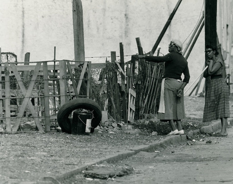
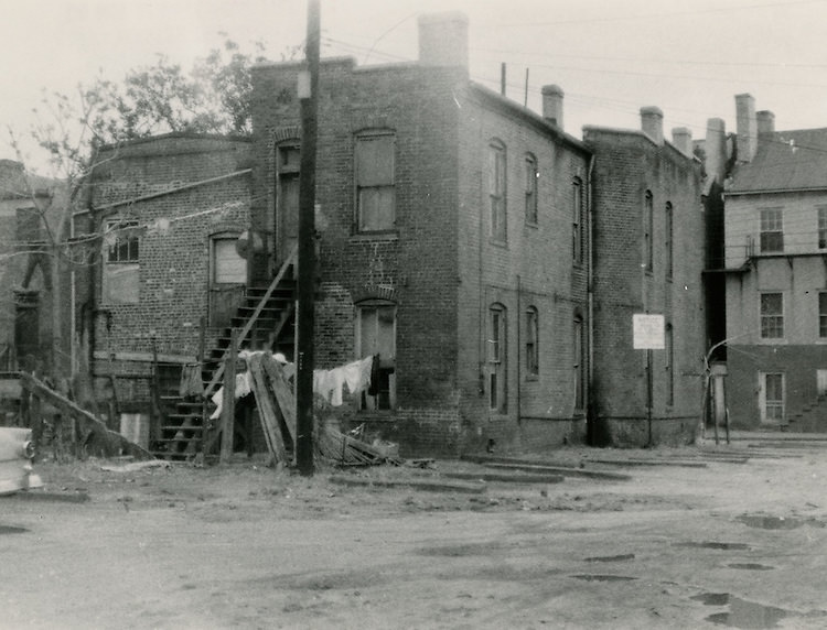
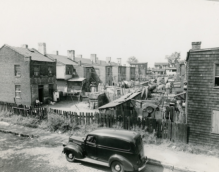
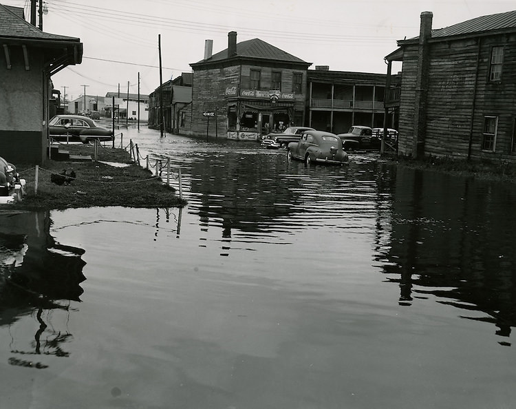
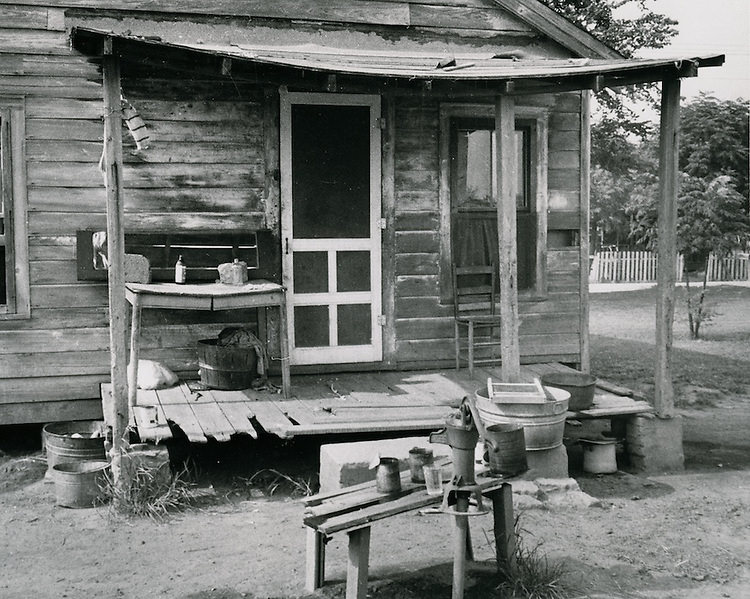
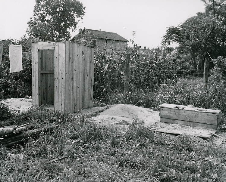
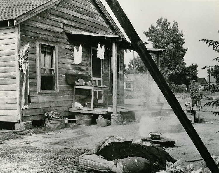
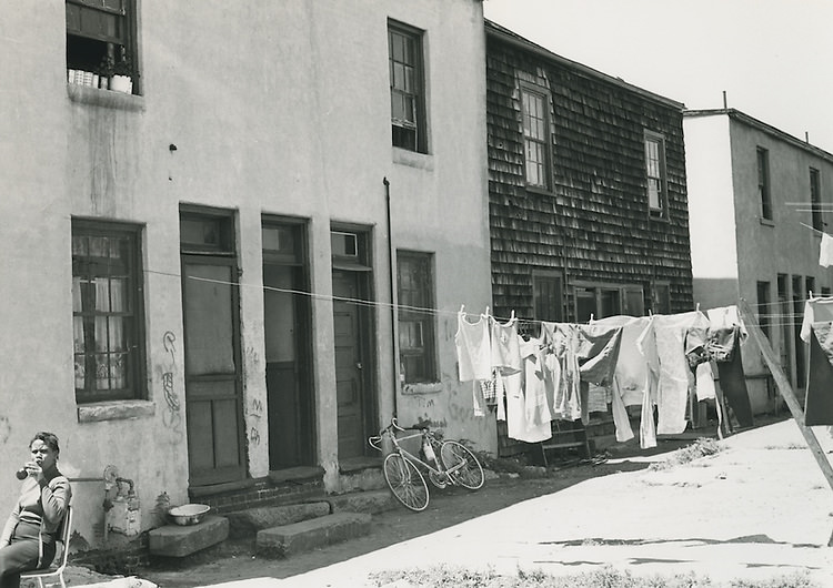
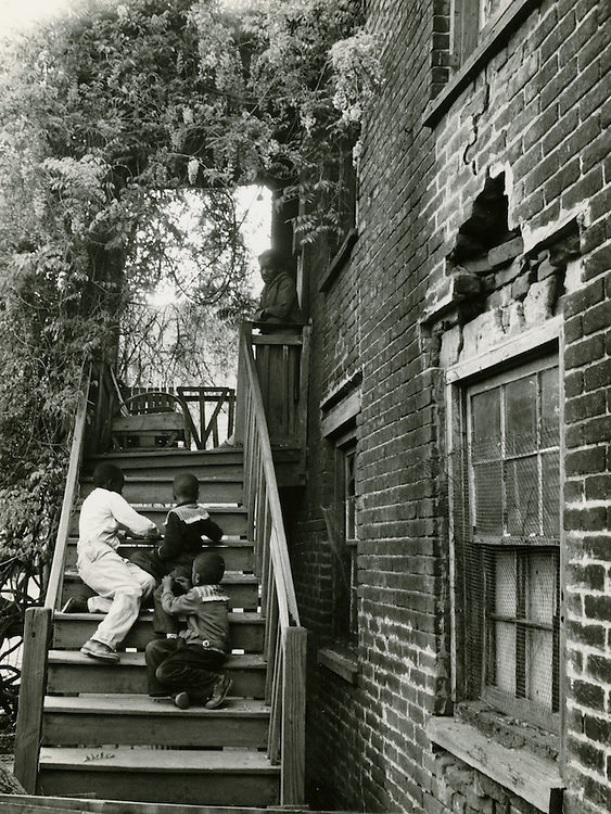
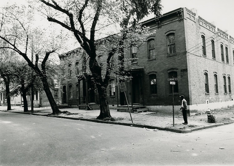
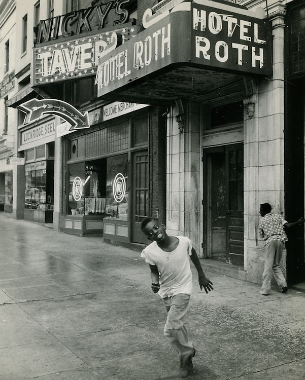
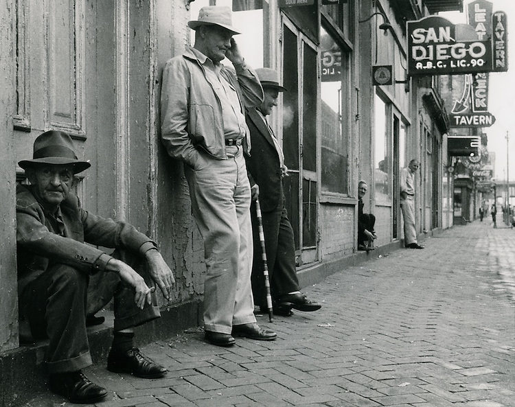
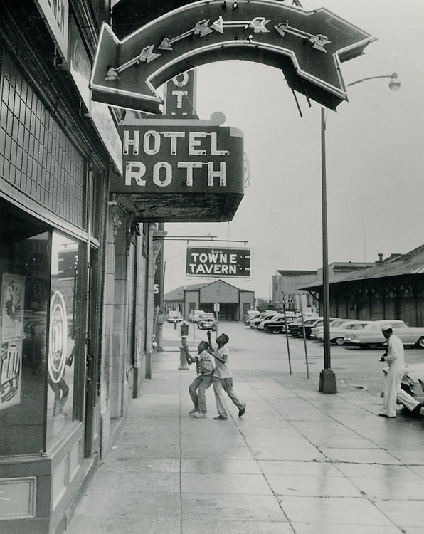
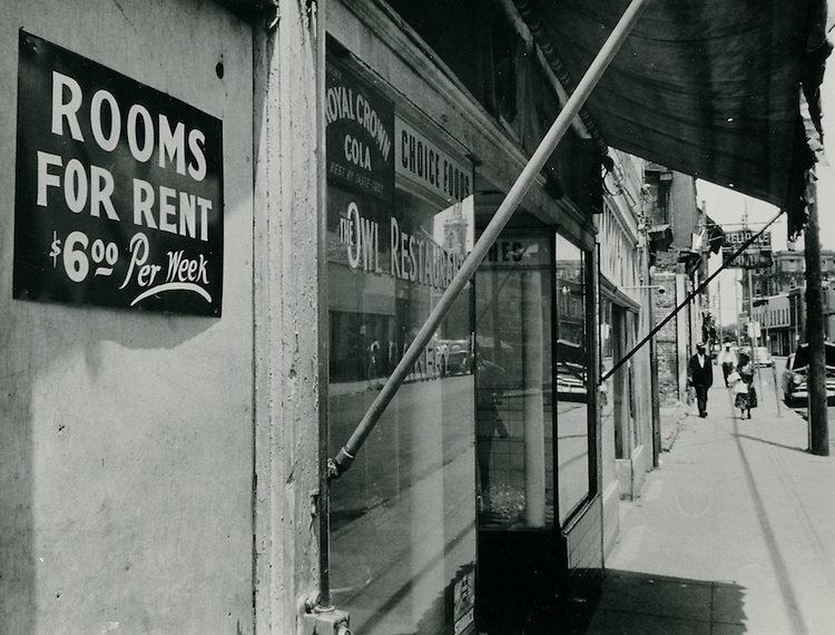
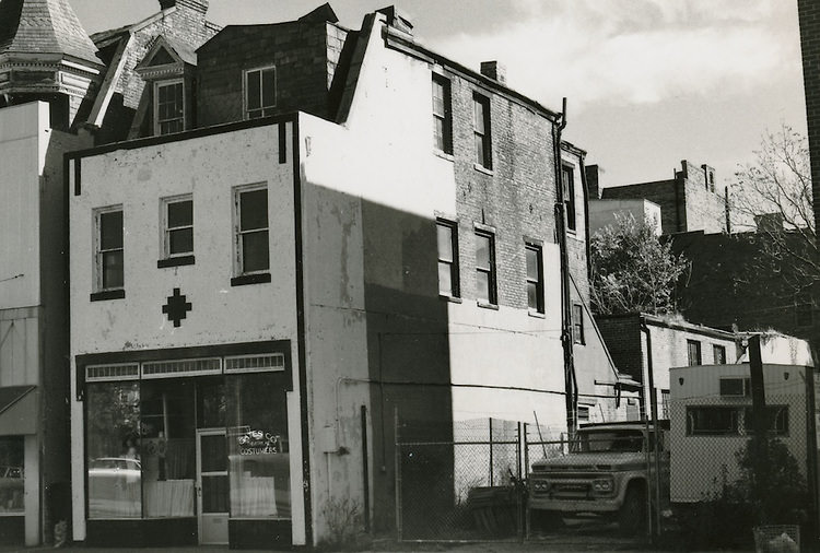
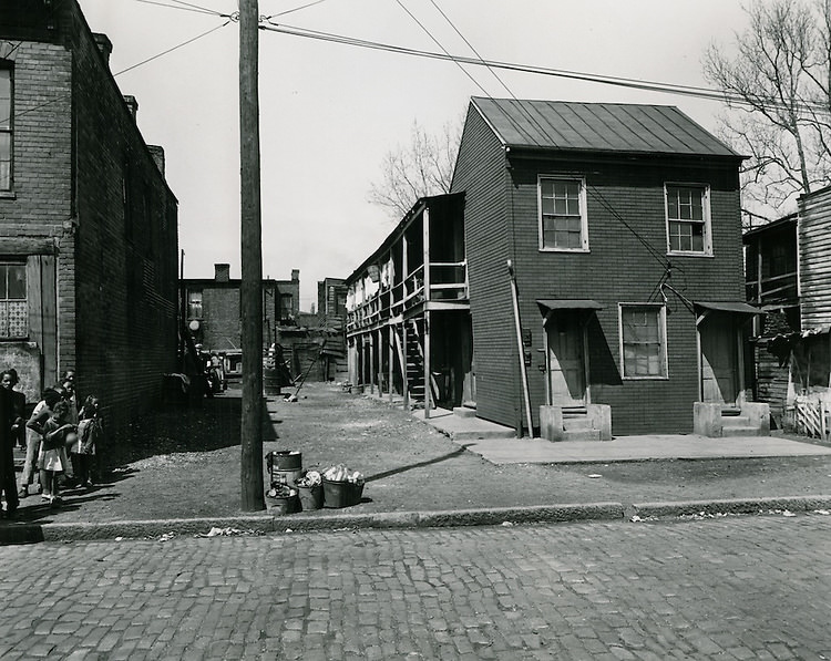
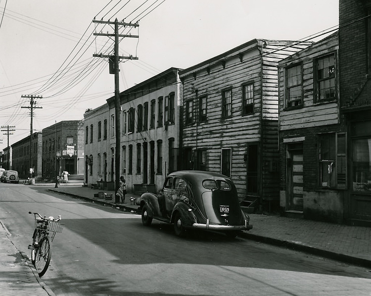
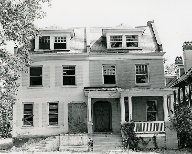
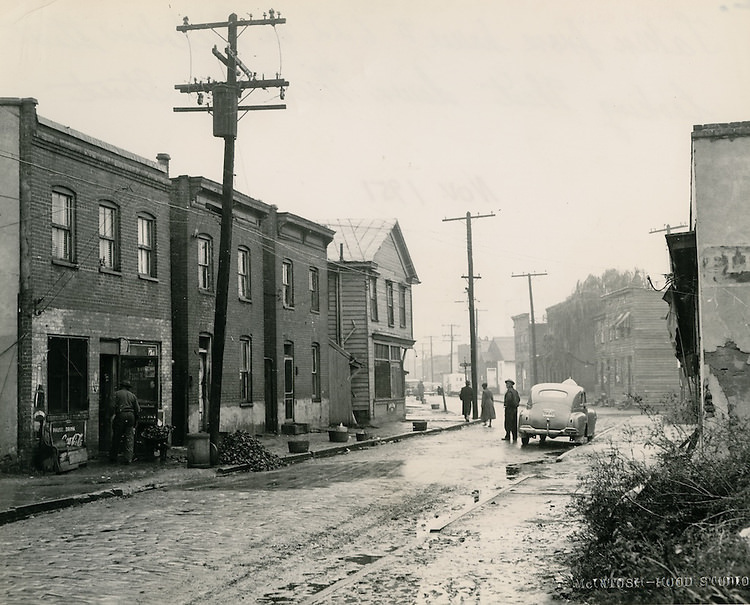
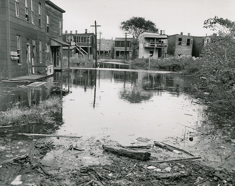
Not all of Norfolk in the 1950s reflected prosperity. Documented photographs from 1952 and 1953 show the stark reality of slum conditions in parts of the city — overcrowded housing, deteriorating structures, and in some areas, outdoor plumbing. These weren’t isolated pockets. Entire neighborhoods close to the downtown core had been neglected for decades. City officials and federal redevelopment programs identified these areas as targets for clearance and rebuilding, setting the stage for the urban renewal push that would define much of the decade.
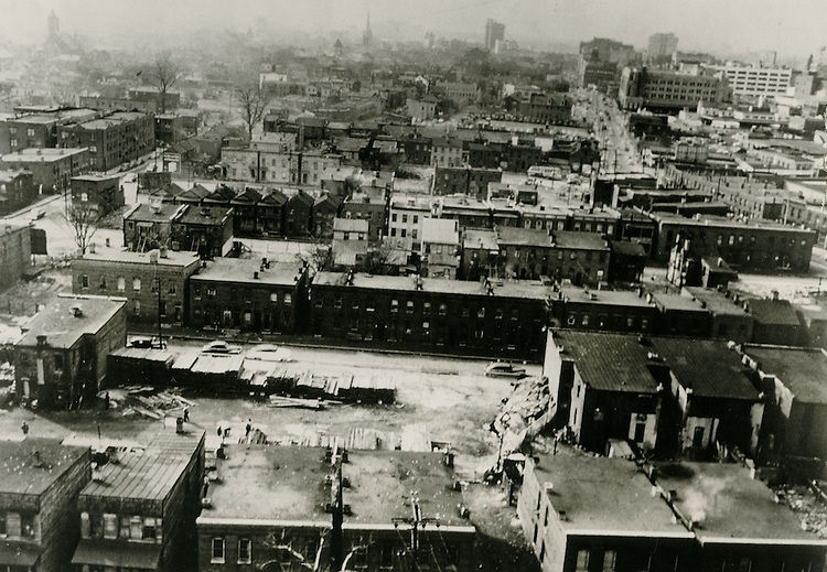
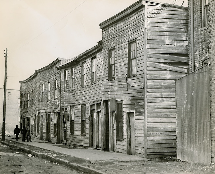
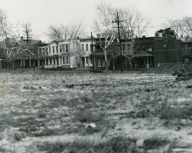
The Young Park area was one of the first major redevelopment sites. In 1951, demolition ceremonies marked the formal beginning of clearance. Photographs from that year capture the backyards of houses on Starr Street, the view down Nicholson Street, and the condition of properties on Fourth Street — all documenting what was being torn down before any new construction began. The Duckworth Property on the site showed the depth of the deterioration that residents had been living with.
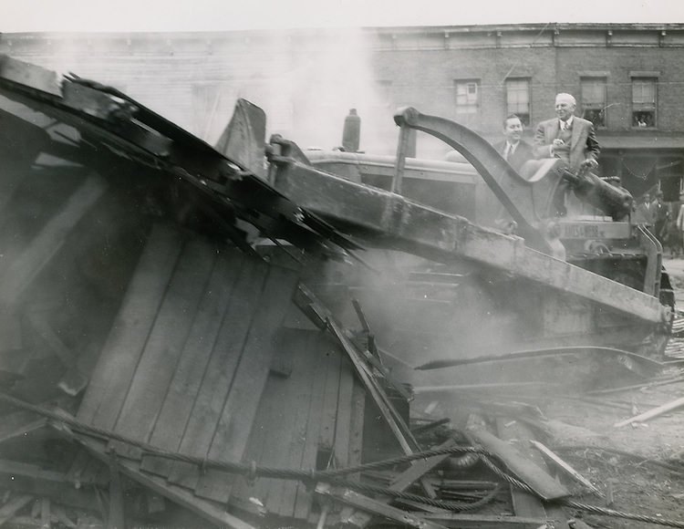
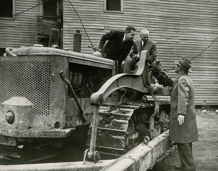
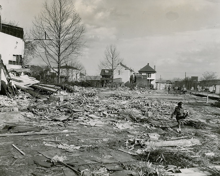
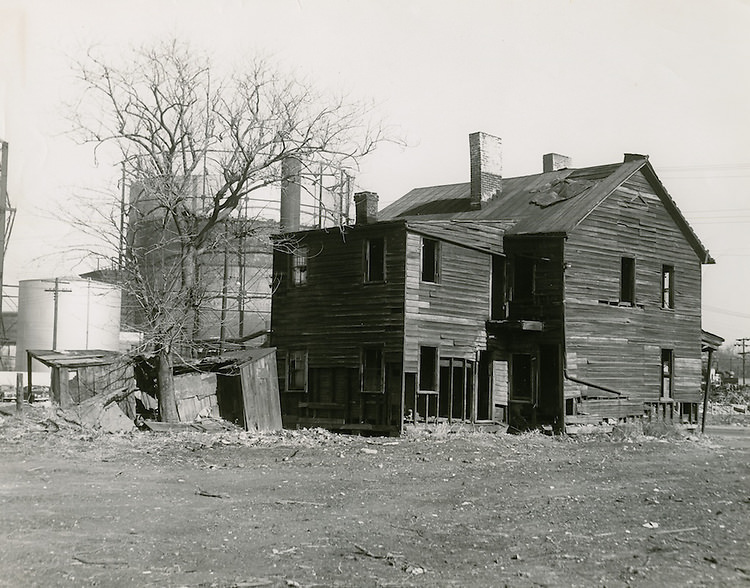
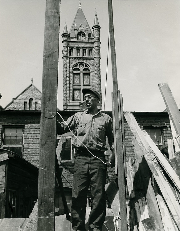
The slum conditions documented throughout the decade were extensive. Outdoor plumbing, crumbling walls, and densely packed structures without adequate light or sanitation appeared repeatedly in official city photographs. These images were used to justify redevelopment projects, and they represent an honest record of how a significant portion of Norfolk’s population lived during a decade that is often remembered only for its prosperity.
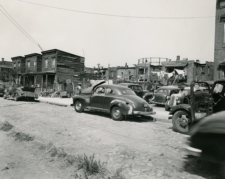
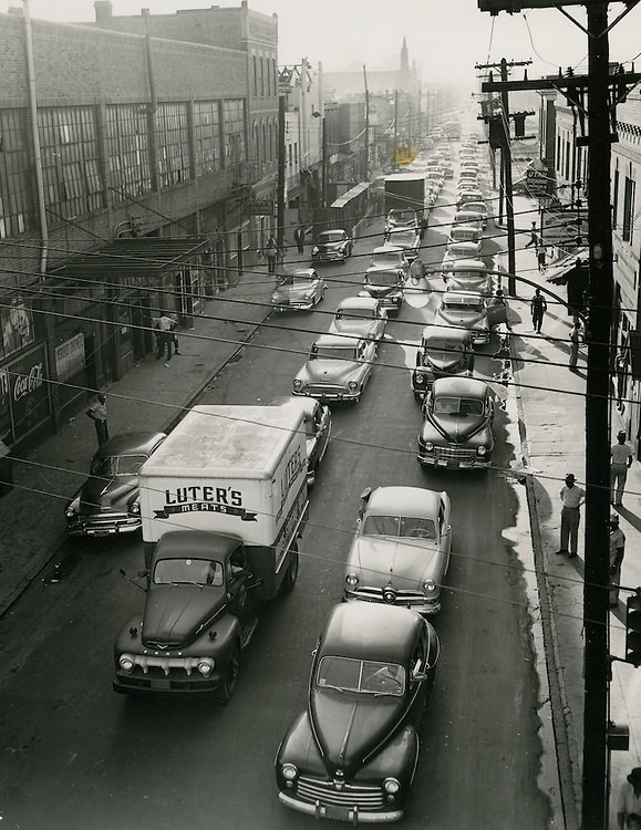
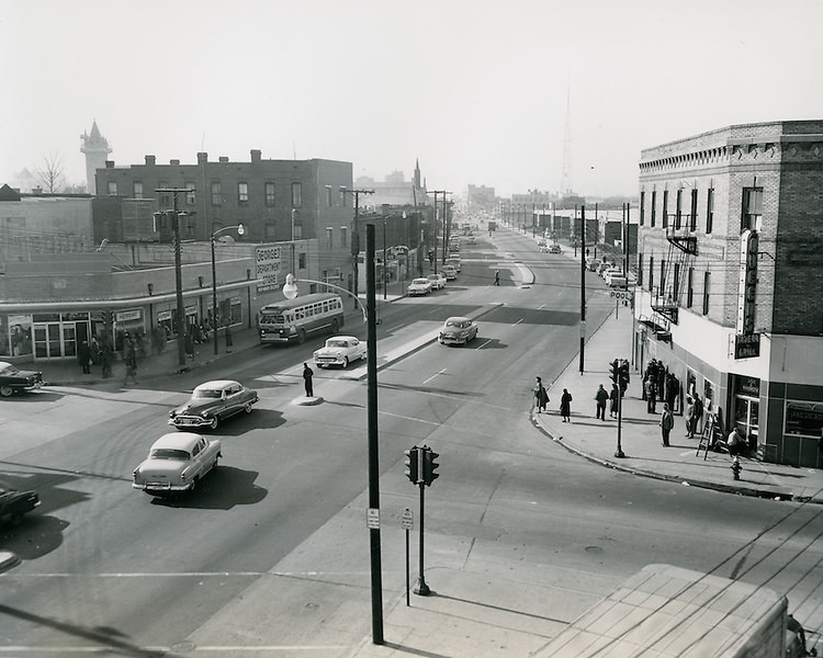
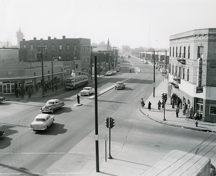
Brambleton Avenue was one of the streets at the center of the city’s transformation. Photographs from 1953 show the avenue before major changes, while a 1958 image documents the newly widened roadway after redevelopment had reshaped the surrounding area. The before-and-after record is striking — the same street, the same general direction, but an entirely different urban environment.
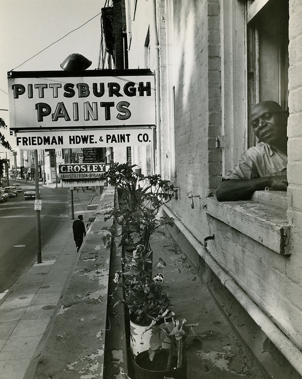
The Downtown North redevelopment zone, designated R-8, was one of the most thoroughly documented projects of the decade. Images from 1958 show individual businesses like Friedman Hardware and Paint Company, small blocks of mixed commercial and residential uses, and the condition of properties just before or during demolition. These photographs are a precise record of what stood in downtown Norfolk before the bulldozers arrived.
Downtown South, designated R-9, was another major redevelopment target. A 1953 photograph looking south to the waterfront shows the character of the area before intervention. By 1957, photographs labeled ‘Civic Center Site’ document slum conditions on the land where the new civic center would eventually rise. East Main Street and its intersections with streets like Chapel, Fenchurch, and Metcalf Lane were all captured in detail during the late 1950s, showing a dense commercial and residential fabric in various states of decline.
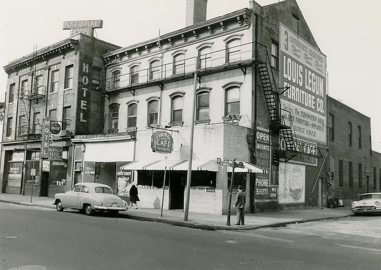
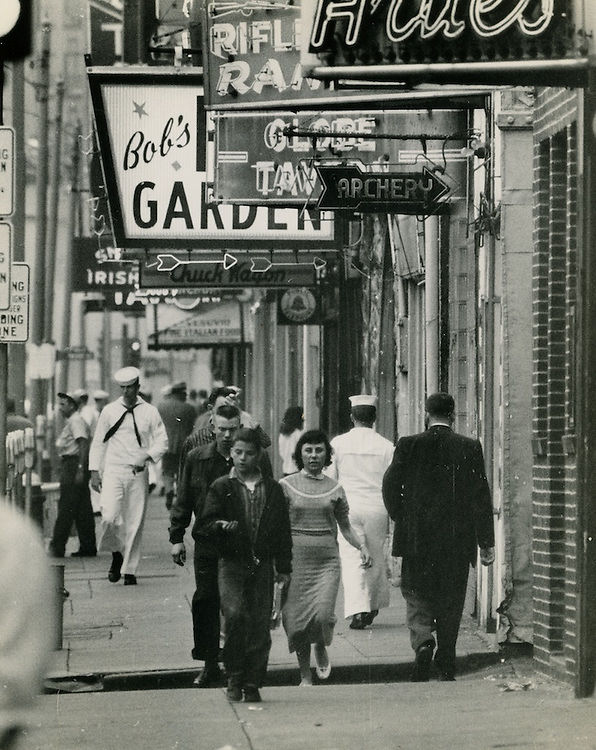
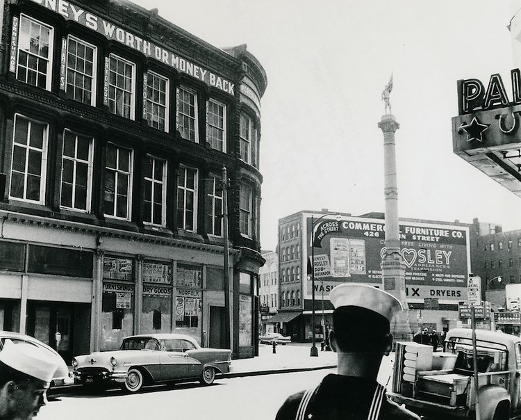
Main Street at Commercial Place was a particularly important intersection. The Confederate Monument stood there as a long-established landmark, and photographs from 1958 and 1959 show the monument surrounded by the urban fabric of the era — storefronts, pedestrians, the street itself busy with activity. By 1959, the site of the future Kirn Memorial Library had been cleared, another visible sign of how quickly the city’s footprint was being redrawn.
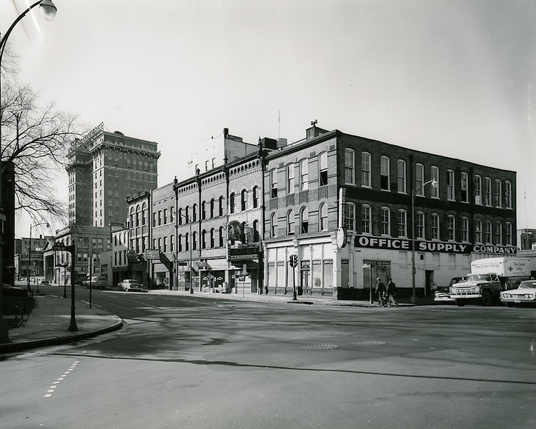
East Main Street looking west in 1958 shows what the street looked like before wholesale demolition. Businesses line both sides, signs crowd the upper facades, and the street has the lived-in density of a neighborhood that had been commercially active for decades. Photographs taken throughout that year along East Main and the broader Downtown South zone capture this moment of transition with remarkable consistency.
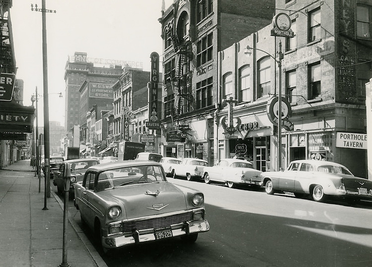
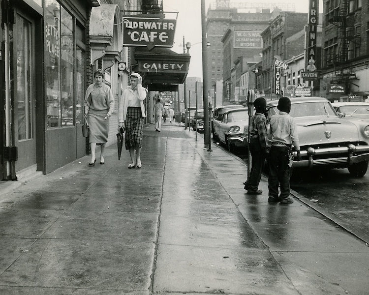
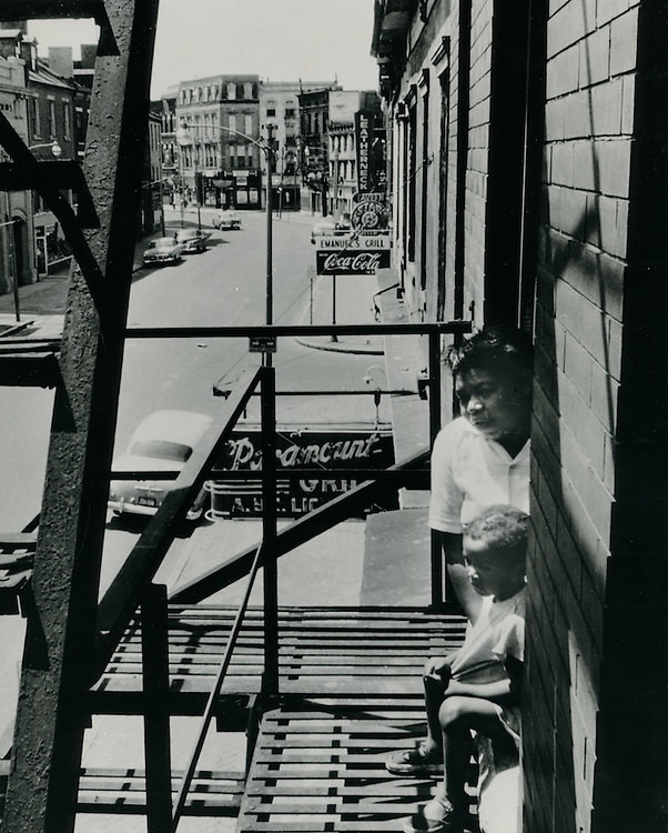
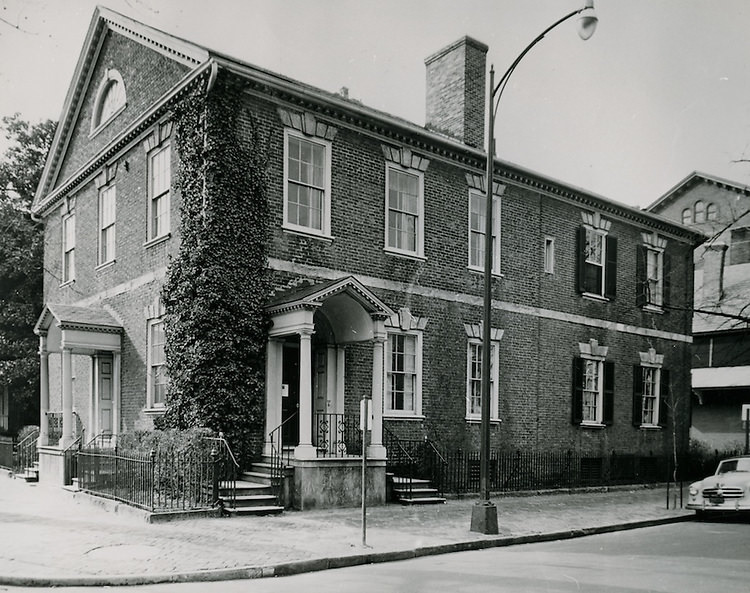
The Freemason District, one of Norfolk’s oldest residential areas, was also photographed extensively during the decade. Streets like Bute Street, Landing Street, and the blocks around the Freemason waterfront area show a neighborhood of older homes and commercial buildings that had been in continuous use for generations. The 1959 view looking south down Bute Street into the Freemason District captures the quiet, residential character of blocks that urban renewal was beginning to reach.
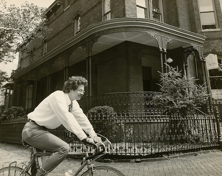
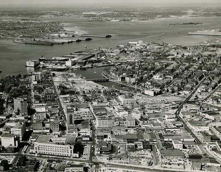
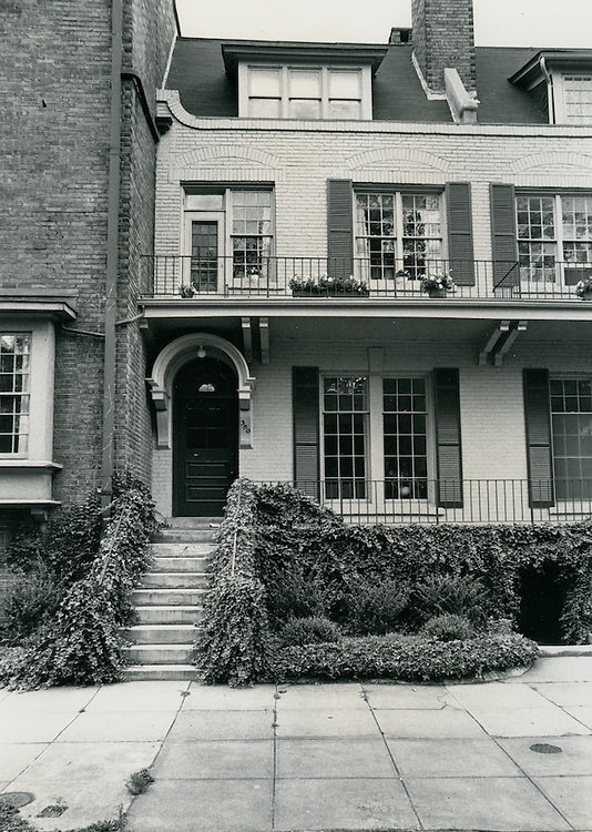
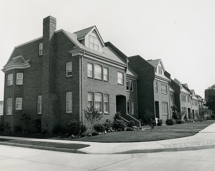
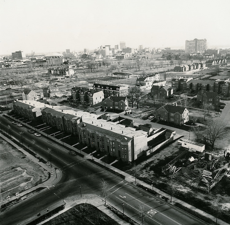
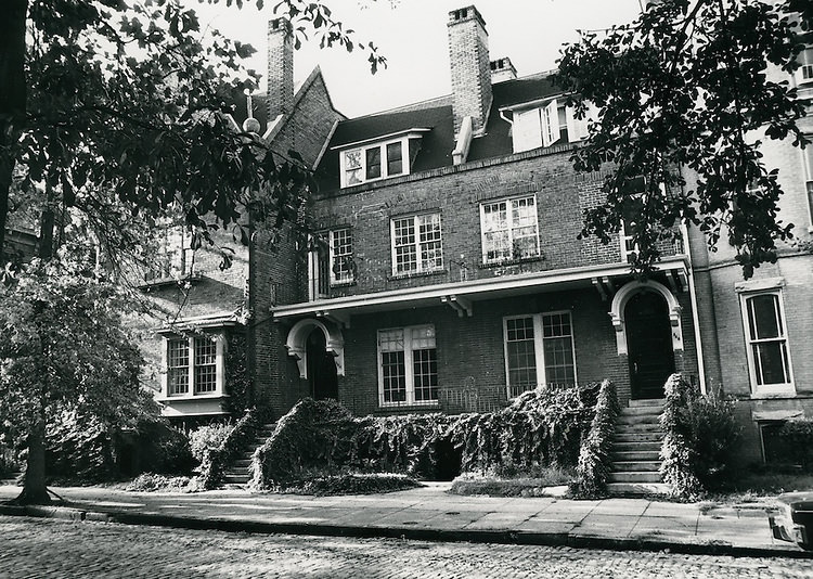
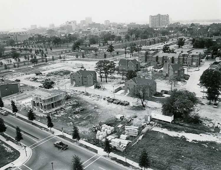
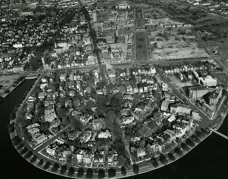
The Ghent neighborhood and East Ghent South were the focus of a different kind of redevelopment — new residential construction rather than commercial clearance. A 1950 aerial view shows the area before construction, while other photographs document new townhouses rising in East Ghent and the broader changes taking shape. Boultetourt Gardens represents the kind of infill development that planners hoped would replace deteriorated housing with stable, modern residences.
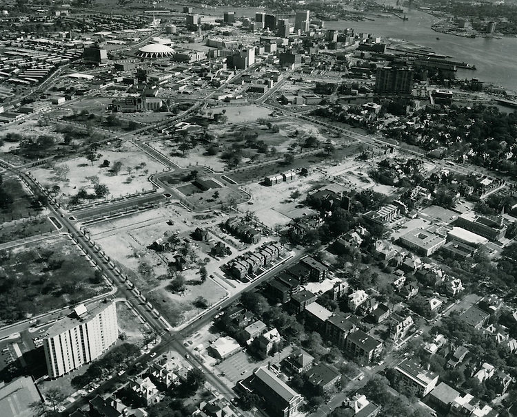
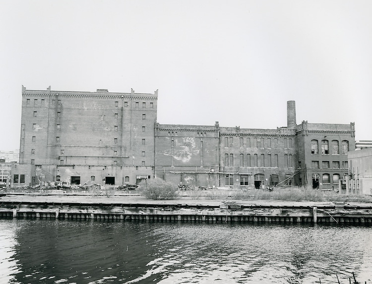
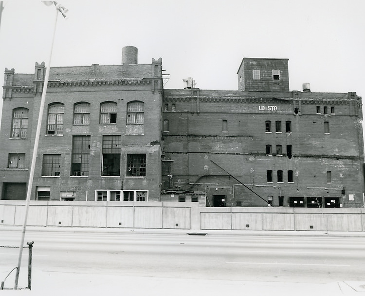
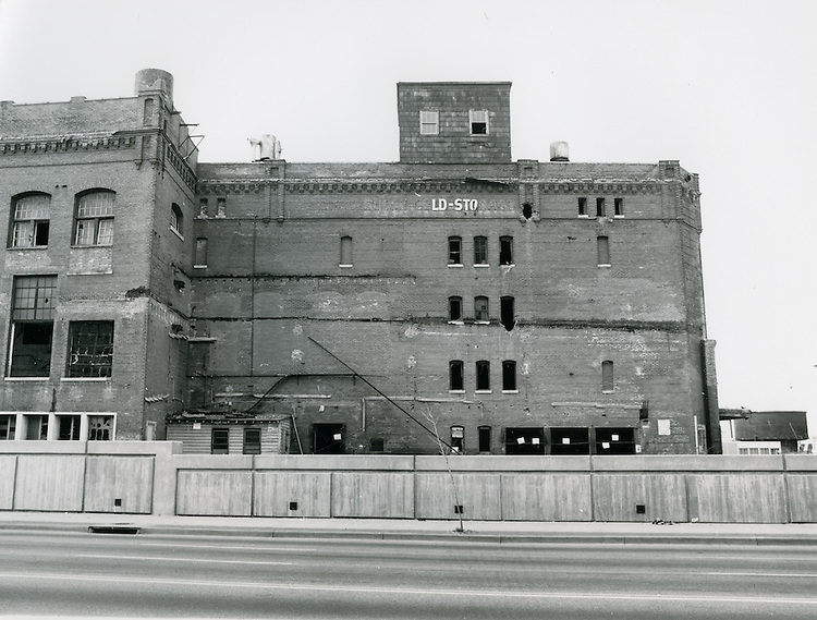
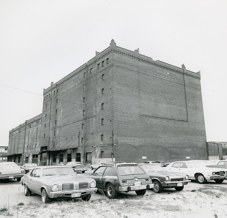
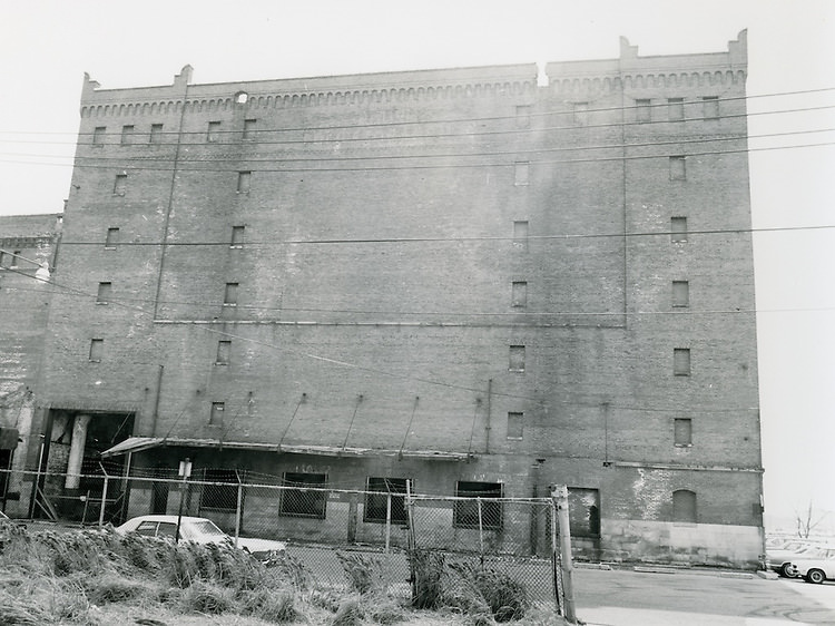
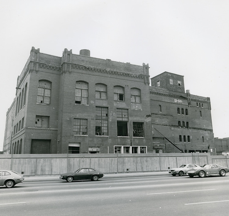
The Boush Cold Storage Building on Boush Street was one of the distinctive industrial structures in the city’s downtown west area. Multiple photographs from the 1950s document its exterior from different angles, making it one of the most thoroughly recorded individual buildings of the era. Nearby, 312 and 451 Boush Street were also captured in detail, along with buildings along Granby Street and Tazewell Street in the same zone.
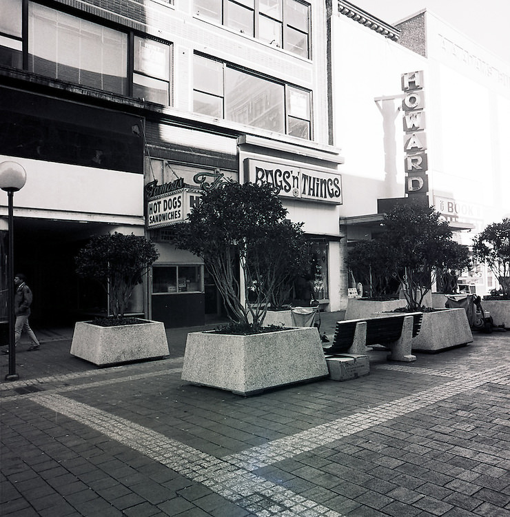
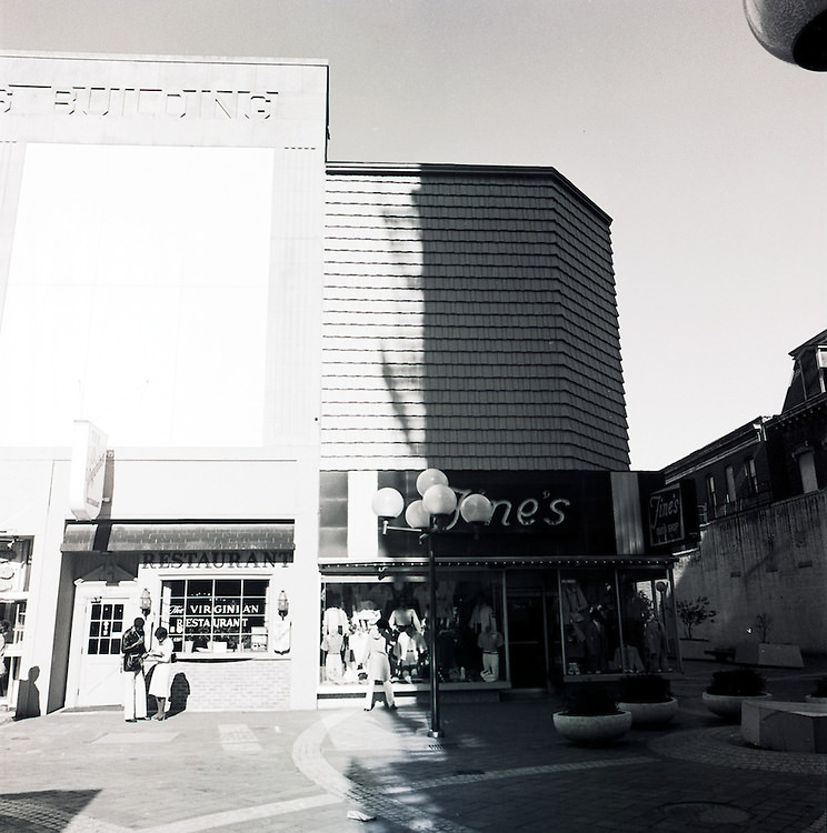
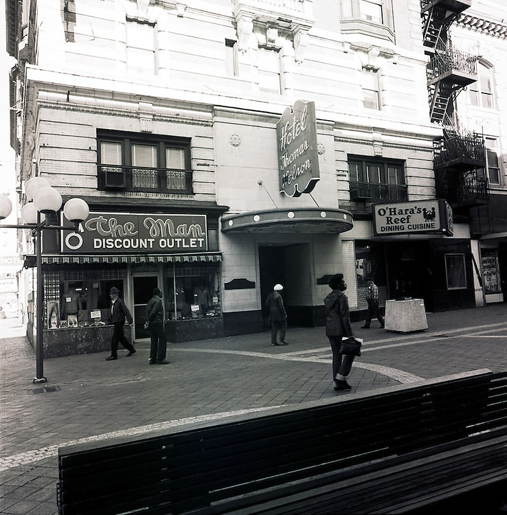
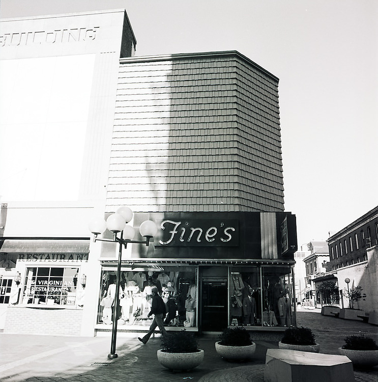
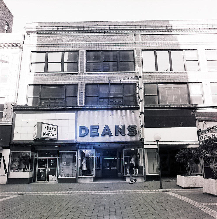
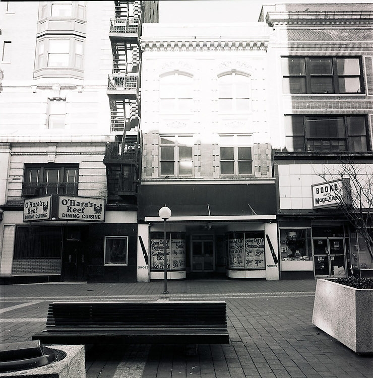
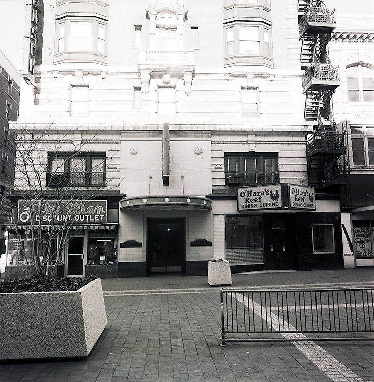
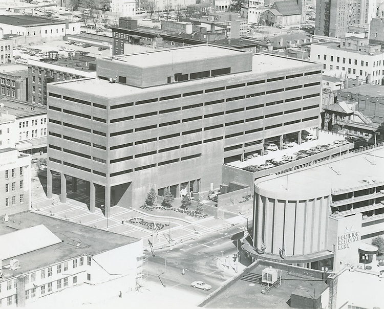
Granby Street’s pedestrian mall was one of the most visible symbols of Norfolk’s effort to modernize its downtown. The mall converted part of Granby Street into a car-free zone, designed to make shopping more pleasant and competitive with the new suburban retail options that were beginning to draw customers away from city centers across America. Multiple photographs from the 1950s show the mall in various states — from construction to use — capturing one of the decade’s most deliberate attempts to reinvent downtown commerce.
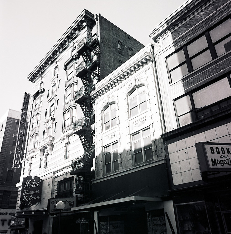
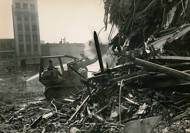
The Monticello Hotel was one of Norfolk’s most storied buildings. Its demolition during the 1950s made way for a new Federal Office Building on the site. The demolition photographs capture a moment of deliberate erasure — a landmark of the city’s earlier decades coming down to make room for the institutions of its future.
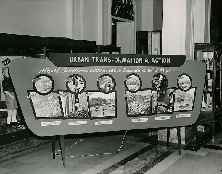
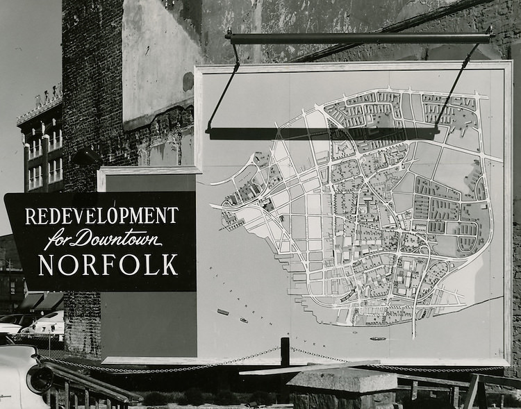
Urban renewal in Norfolk was not a quiet or behind-the-scenes process. The city held public displays like the ‘Urban Transformation in Action’ exhibit, and planners produced detailed maps of downtown redevelopment zones. These materials communicated the scale of what was being planned to residents and investors alike. The redevelopment map of downtown Norfolk from the 1950s shows just how comprehensively city planners had divided the urban core into zones for clearance and rebuilding.
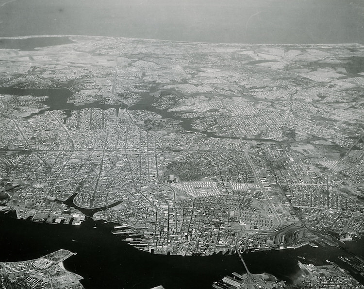
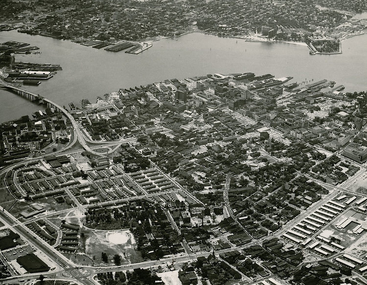
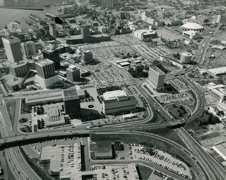
By 1958, the aerial view looking north across the entire city to Ocean View showed just how much Norfolk had expanded. Neighborhoods that had been undeveloped or sparsely settled earlier in the decade were now filling in. The city’s footprint had grown, and its internal geography had shifted significantly. The view from the air tells the story of a decade of deliberate, large-scale change.
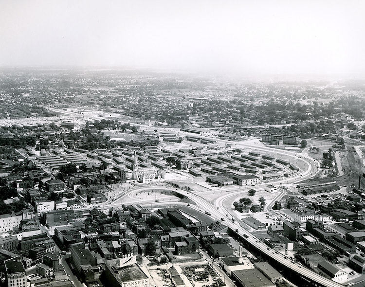
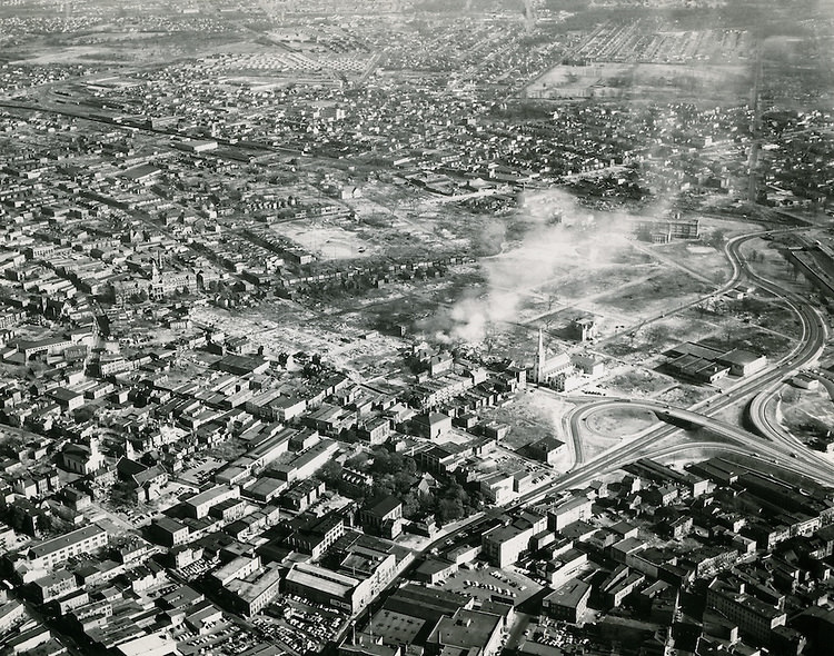
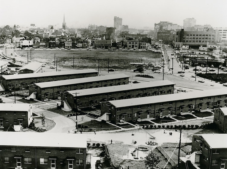
The civic center site in 1958, captured from the air just before construction began, shows a large cleared area at the heart of the city — the result of years of demolition in the Downtown South zone. Tidewater Gardens and Young Terrace public housing projects had already risen in other cleared areas, visible in a 1958 view looking south at downtown, their ordered blocks contrasting with the older city fabric around them.
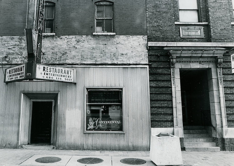
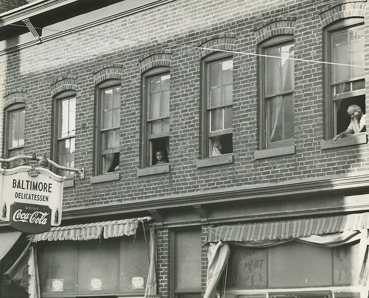
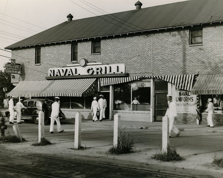
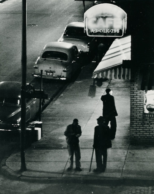
Restaurants and small businesses reflect the texture of daily life in 1950s Norfolk. The New Continental Restaurant brought a polished dining experience to the city. The Baltimore Delicatessen on its corner lot offered another kind of everyday eating. The Naval Grill outside Naval Operating Base Gate 2 served the steady stream of military personnel who were woven into the fabric of the city’s economy and social life. Norfolk was always a Navy town, and these neighborhood establishments existed partly because of that military presence.
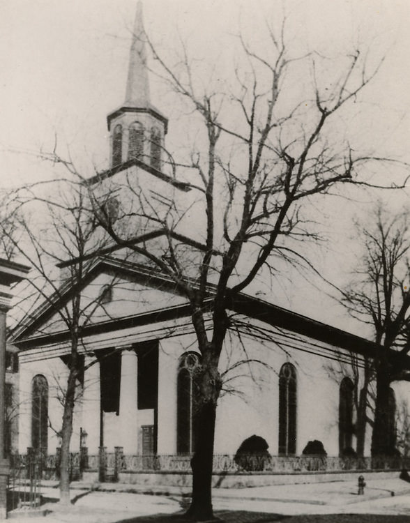
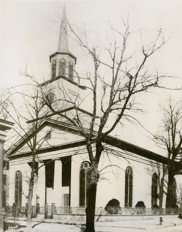
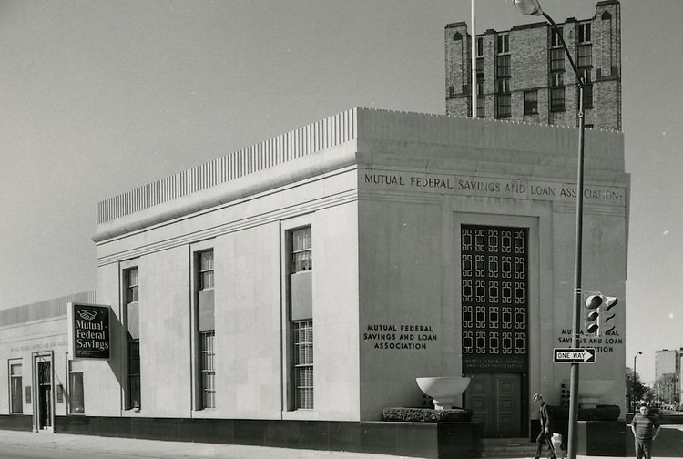
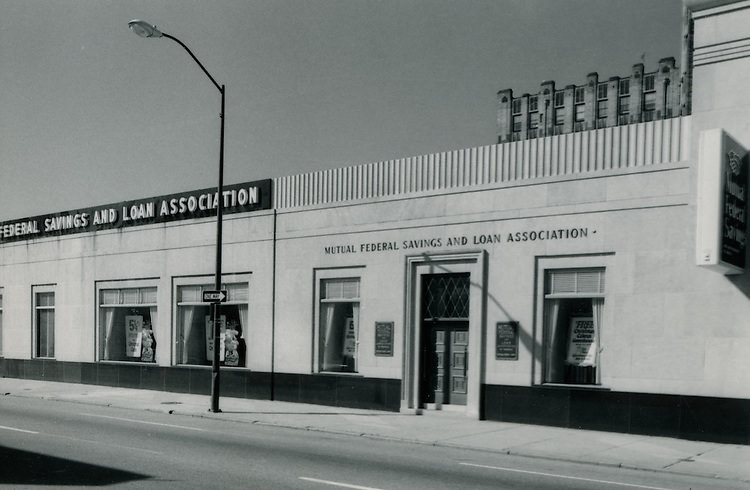
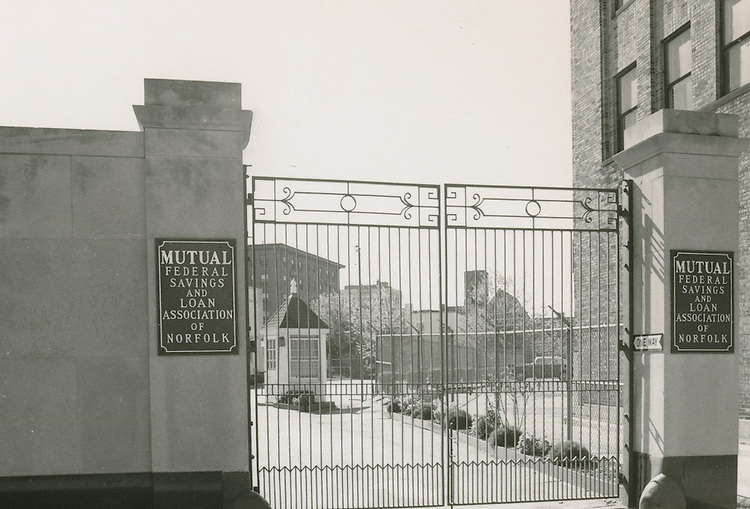
Institutions of community life also stand out in the photographic record. Bank Street Baptist Church at 501 Bank Street, photographed in 1958, was a cornerstone of its neighborhood. Old Christ Church, one of the oldest religious sites in the city, appeared in a 1958 photograph as well — a building that had witnessed centuries of Norfolk history and continued to serve its congregation through the decade’s upheavals. The Mutual Federal Savings and Loan Association was another institution that served the community, particularly the African American community that navigated both opportunity and segregation in 1950s Norfolk.
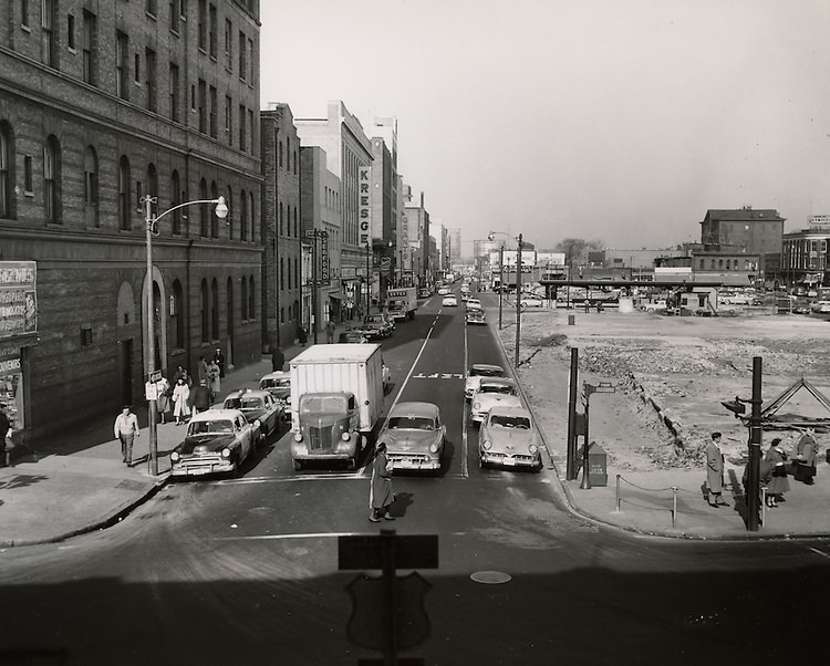
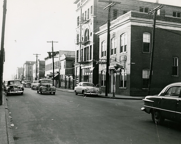
Monticello Avenue looking north from City Hall Avenue in 1956 shows one of downtown Norfolk’s main commercial corridors at mid-decade — wide, busy, and lined with the mix of businesses that defined urban American main streets in the postwar era. City Hall Avenue itself, looking west, shows the civic and commercial blend that gave downtown Norfolk its character.
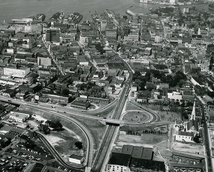
St. Paul’s Boulevard looking south in 1953 shows the broad sweep of one of the city’s important through-roads, connecting the downtown core to other parts of the city. The boulevard was a dividing line of sorts, with different urban characters on each side. To the north and west sat the financial district and commercial core; to the east and south, the neighborhoods that were being most aggressively reshaped by redevelopment.
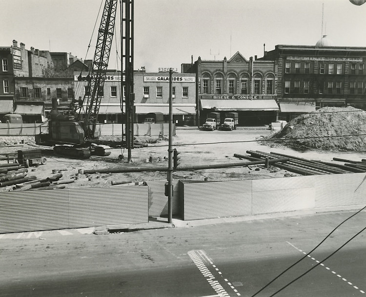
Construction sites were a constant sight in 1950s Norfolk. The Bisese and Console construction site, photographed in the 1950s, represents one of the many building projects underway throughout the decade. New roads, new public housing, new commercial buildings, and new institutions were all being built simultaneously across different parts of the city.
Oakleaf Park and Liberty Park offered residents green space in a city that was otherwise densely built. These parks were neighborhood anchors, places where children played and adults gathered on summer evenings. In a decade defined by construction and demolition, the parks represented something stable and familiar.
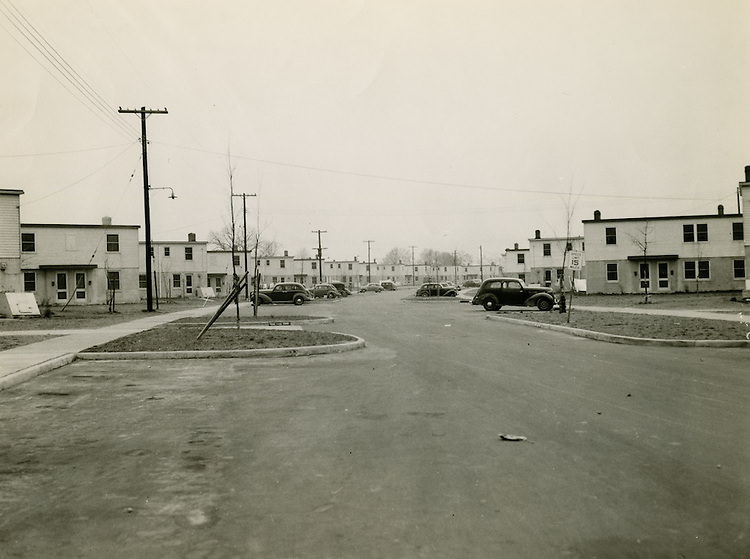
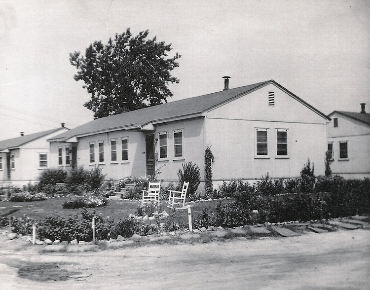
By the end of the decade, Norfolk’s physical form had changed more than in almost any previous ten-year period in its history. Streets had been widened. Entire blocks had been cleared and rebuilt. New public institutions were rising on land that had recently held dense residential neighborhoods. The 1959 view looking north to Commercial Place from the waterfront shows a downtown that was still recognizable but noticeably different from what it had been at the decade’s start.
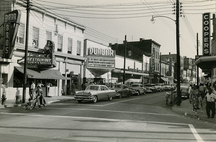
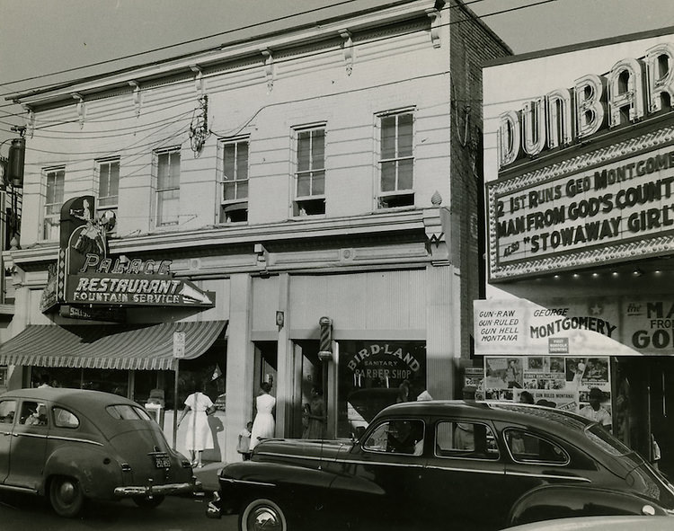
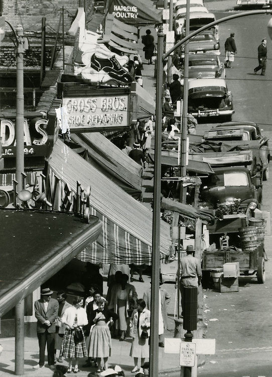
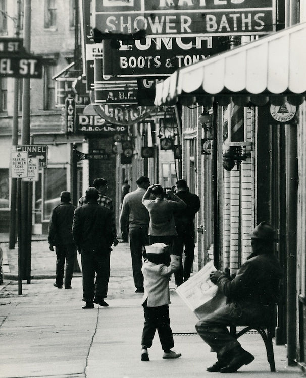
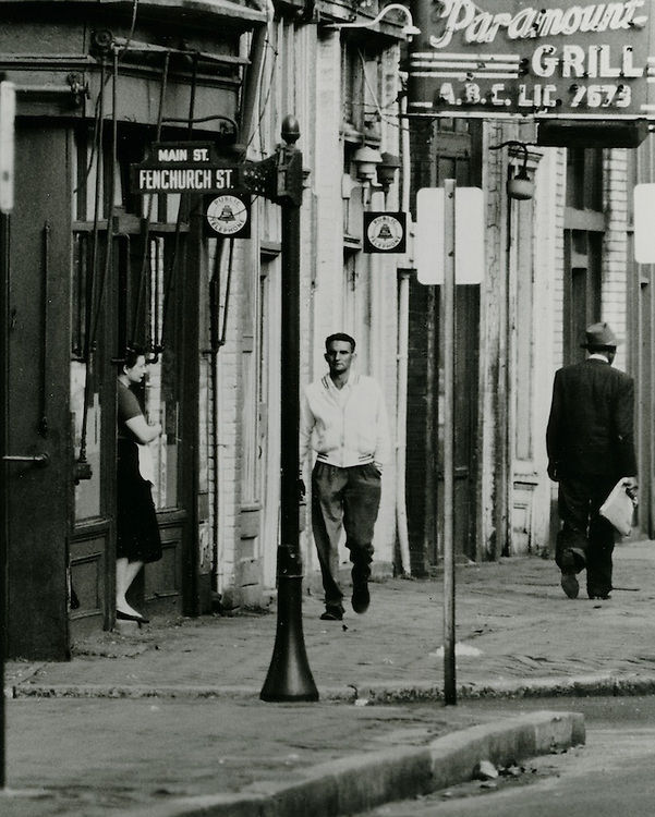
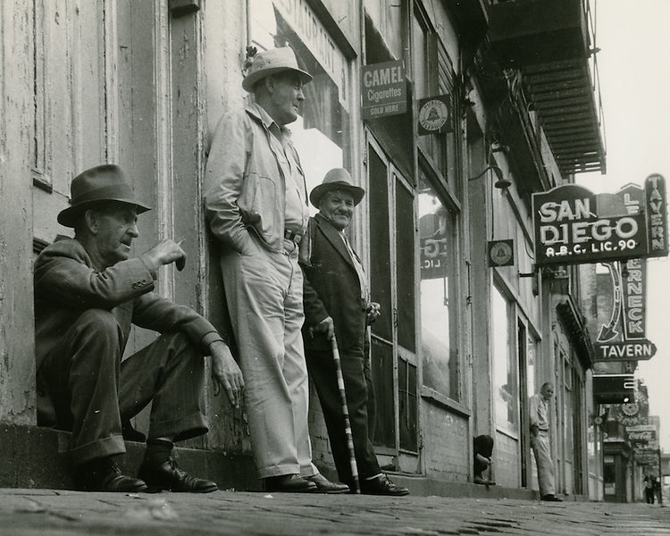
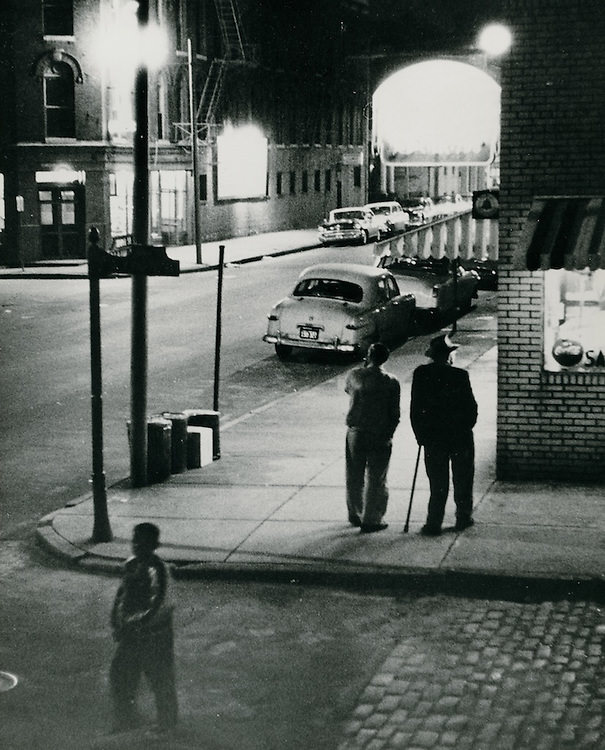
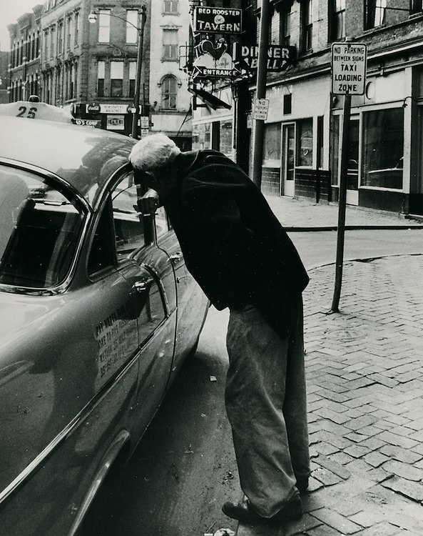
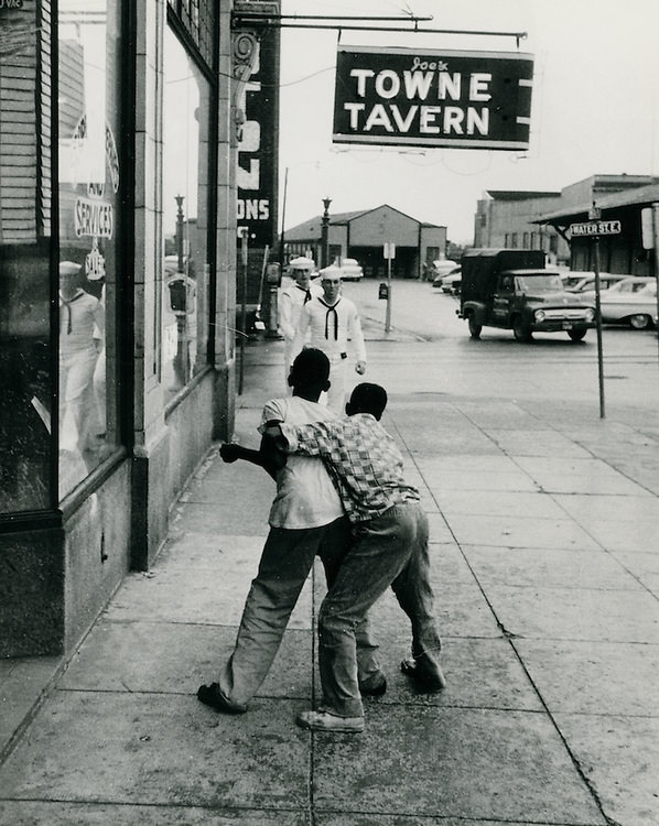
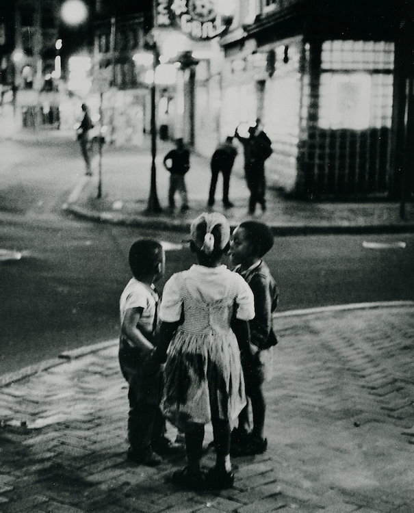
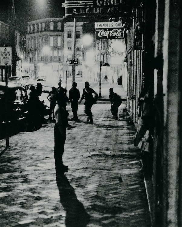

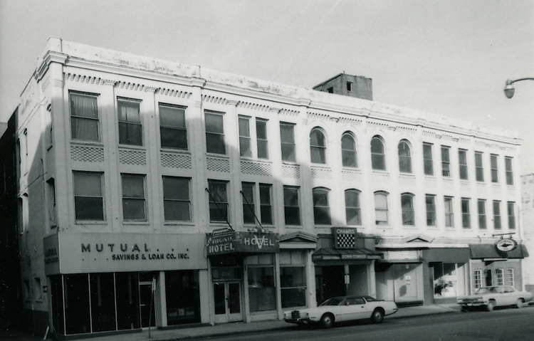
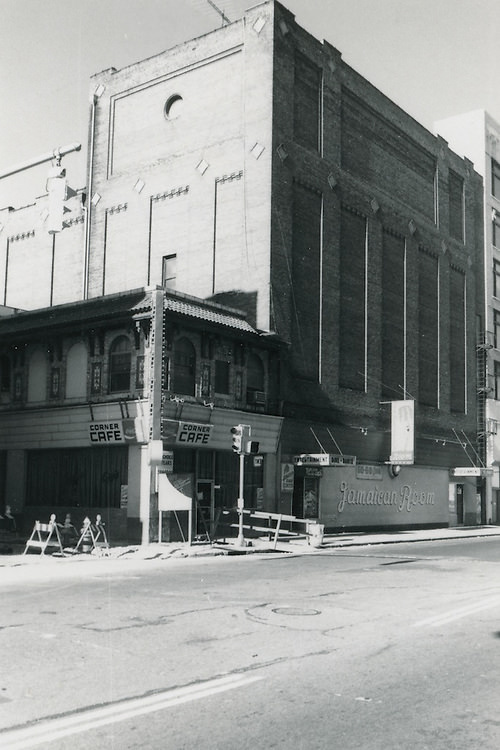
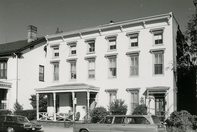
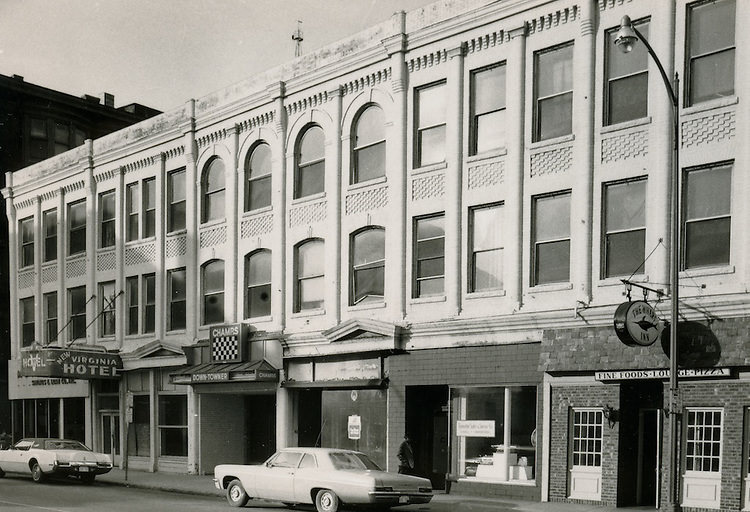
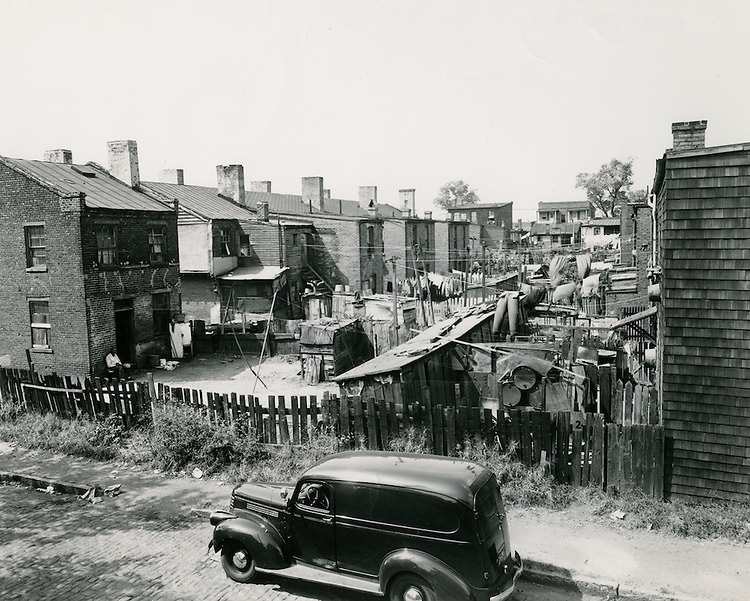
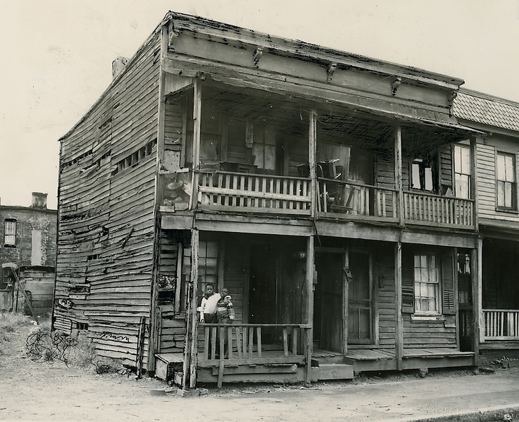
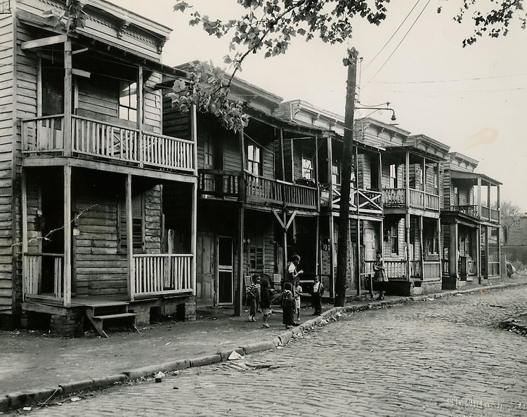
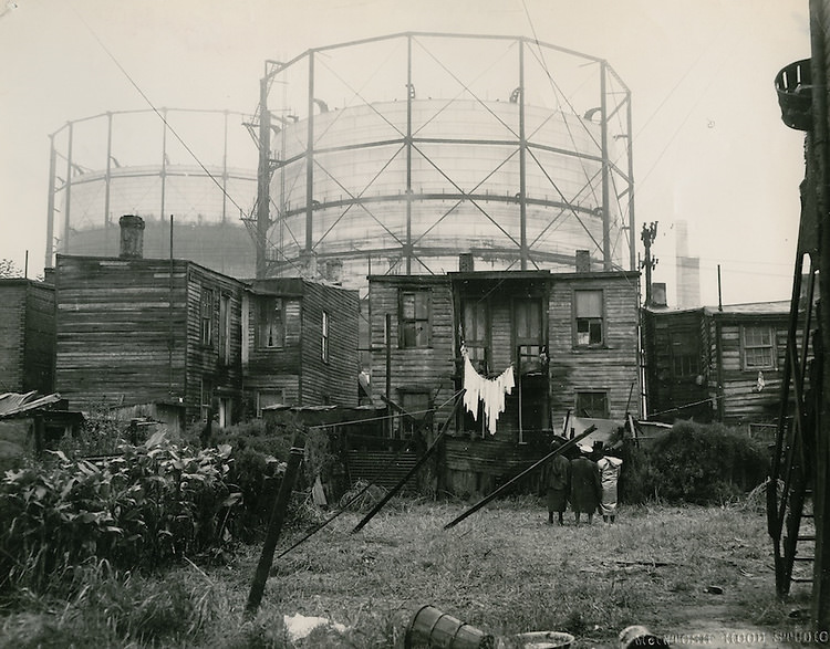

I only just moved here so idk the history… before the pictures started putting “slums” in the titles, I was thinking, why does Norfolk look run down and like a slum? Especially for the 50s. I get it’s military and usually military housing (my guess) wasn’t always the greatest as it’s what the government gave you to live in and had the bare minimums. But like, wouldn’t think it would look this bad. But there’s so many cars though so is it truly a “slum”?