As the American Civil War began in 1861, Sacramento was strongly pro-Union, although the Confederate States of America also had active supporters there. Sacramento’s population was alarmed when Union forces stationed within the city were drawn eastward for battle in anticipation of an invasion by Confederate forces stationed in Texas. Consequently, volunteers formed military defense forces to counter a possible invasion. Sacramento adopted the Pony Express in 1860 to replace the inefficient ocean-based letter delivery system around Cape Horn in South America. The Great Plains were the first cross-continental communication route and connected California with the east. The Pony Express lasted only 18 months and was rendered obsolete when the First Transcontinental Telegraph arrived. The telegraph lines on the other side of the continent were connected to Sacramento by 1861.
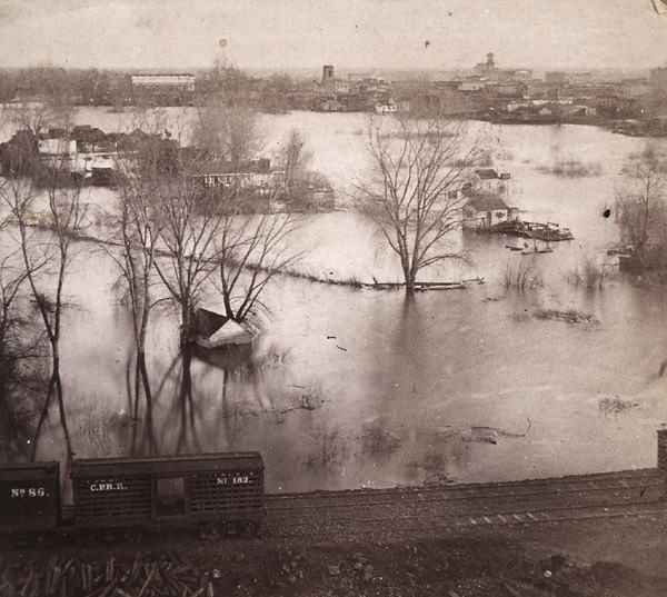
The devastating floods of December 1861 and January 1862 threatened the future of the city. Sacramento residents agreed that additional levee construction was necessary to resolve the issue. Nevertheless, the city was divided between those who supported only a slight grading to raise the city off the crests of the rivers and those who supported substantial grading for basements in the city. After the election of 1863, the level of grading in the city became a primary factor; candidates that supported high-level grading won, and high-level grading renovations began.
In 1865, the burgeoning company acquired the Sacramento Valley Railroad, and in 1867, the Western Pacific Railroad was incorporated to connect Sacramento to Stockton. Due to the joint efforts of the two railroad companies, the Yolo-Sacramento Bridge was built, the first bridge across the Sacramento River.
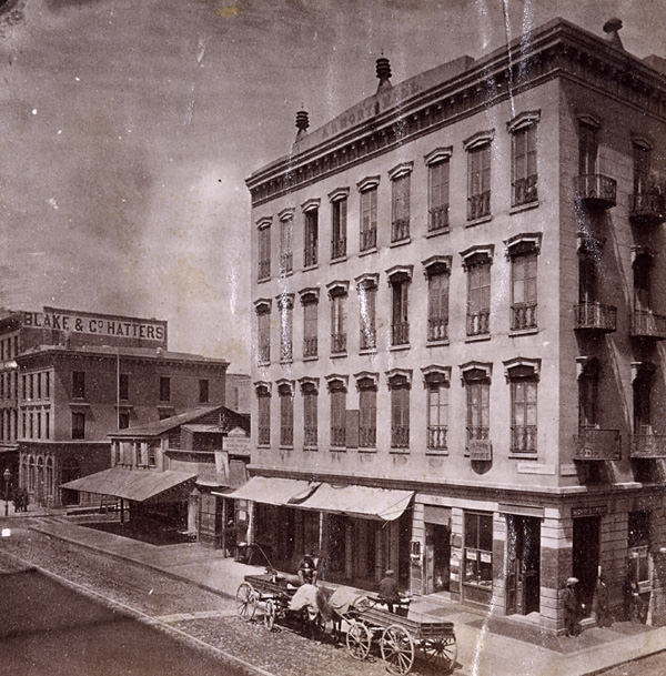
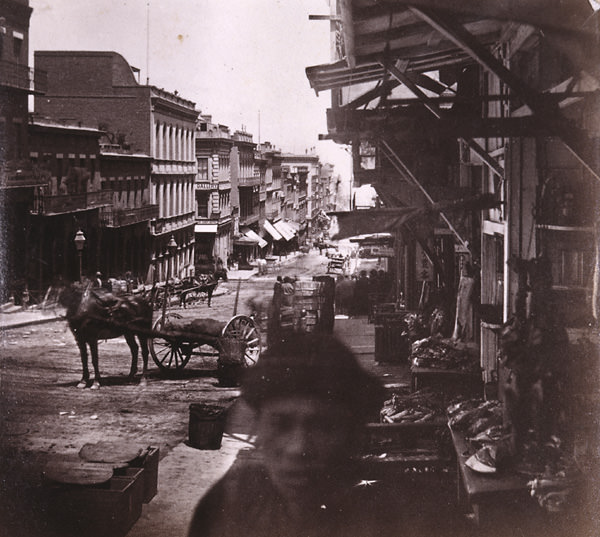
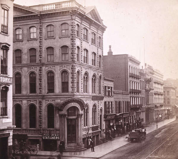
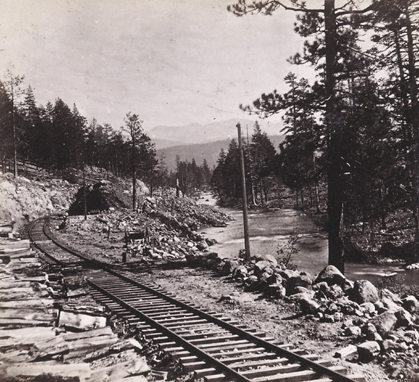
Here are some stunning historical photos that show Sacramento, California in the 1860s.
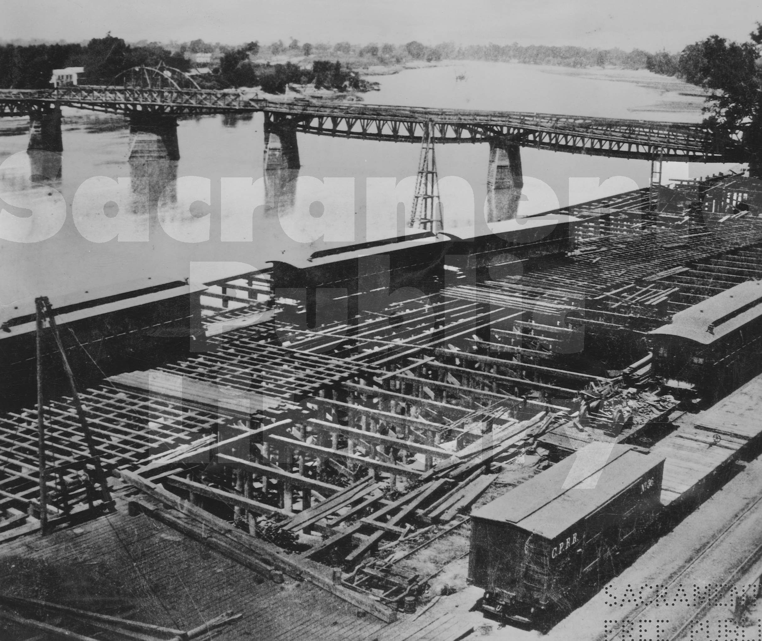
#1 Construction of the Sacramento River waterfront near I Street, 1864.
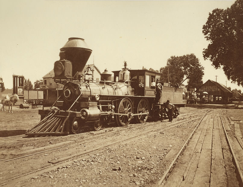
#2 Locomotive No. 162 on tracks at foot of U Street in Sacramento, 1869
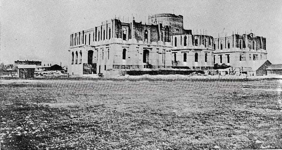
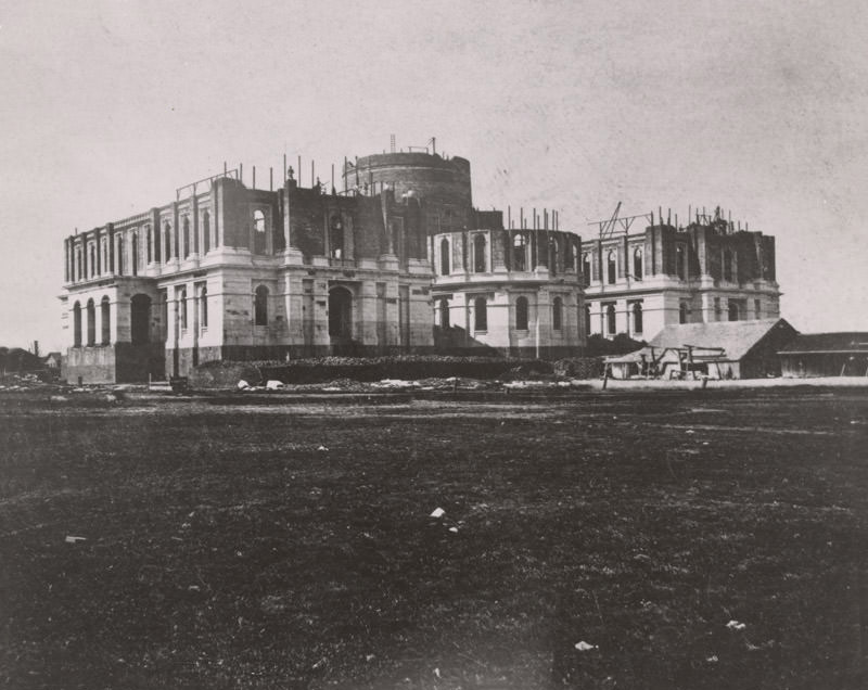
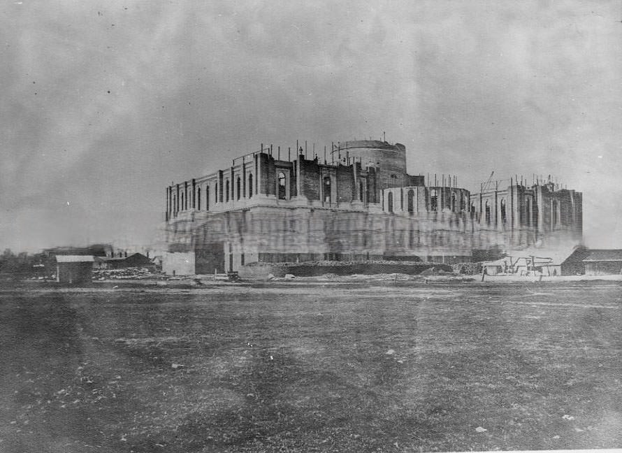
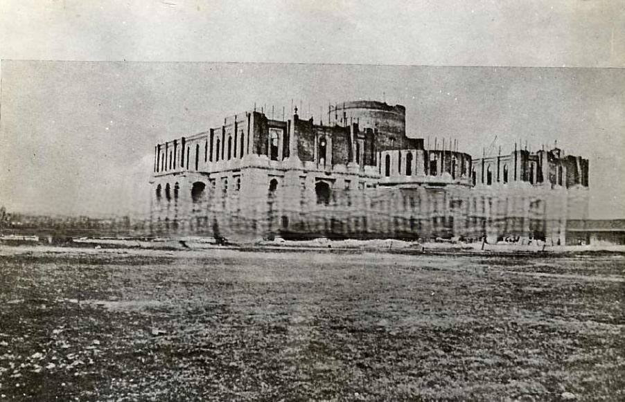
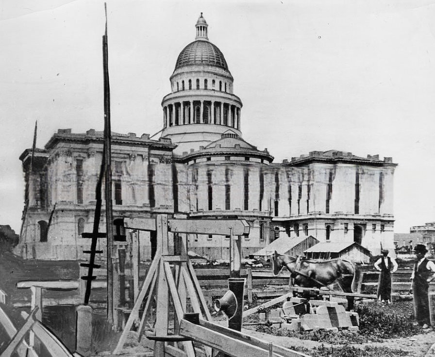
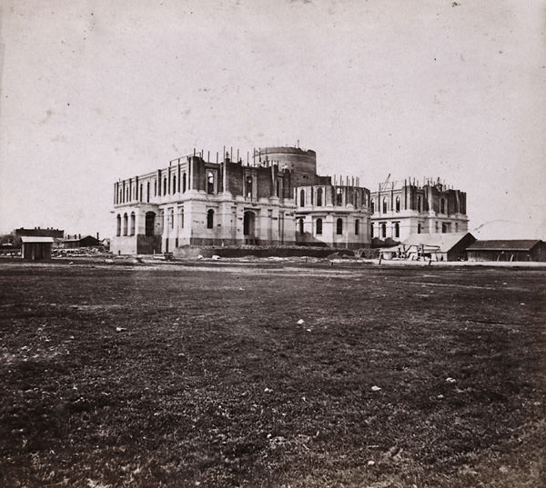
#3 Capitol Building Under Construction, 1867
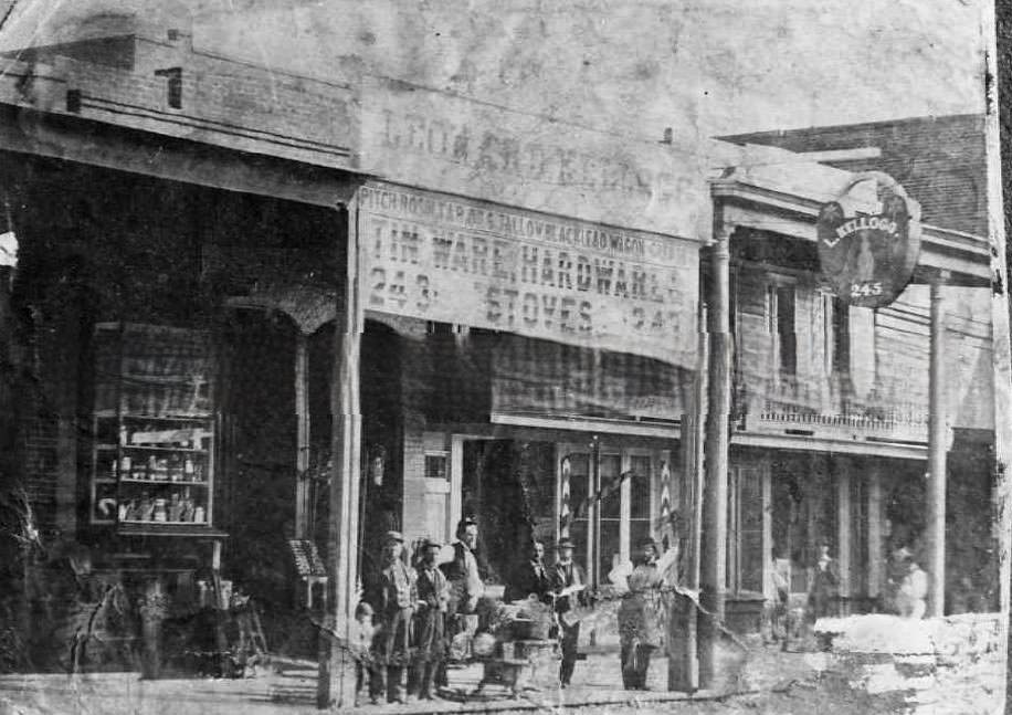
#4 L. Kellogg hardware store, 1863
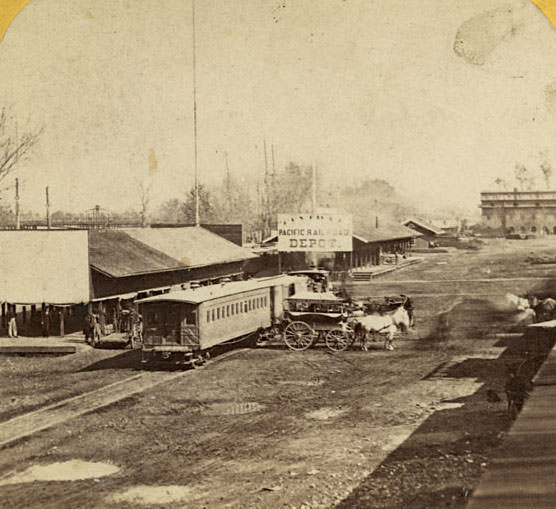
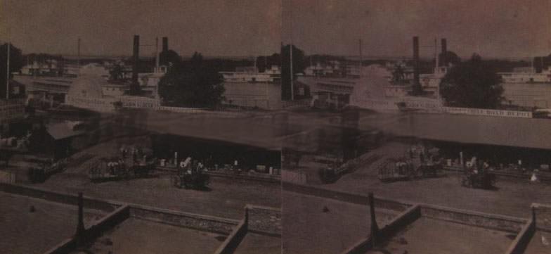
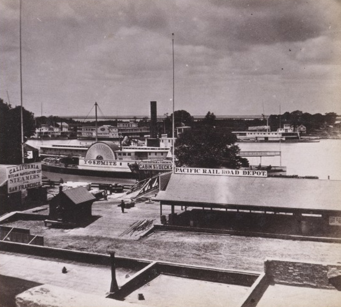
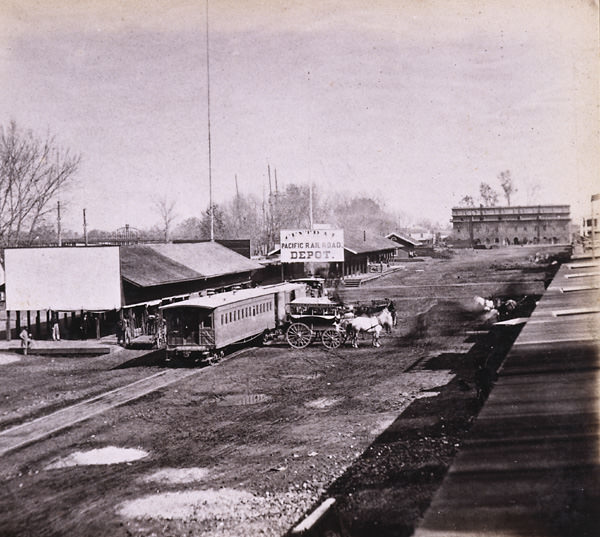
#5 The Railroad Depots on the Levee, Sacramento City, 1866
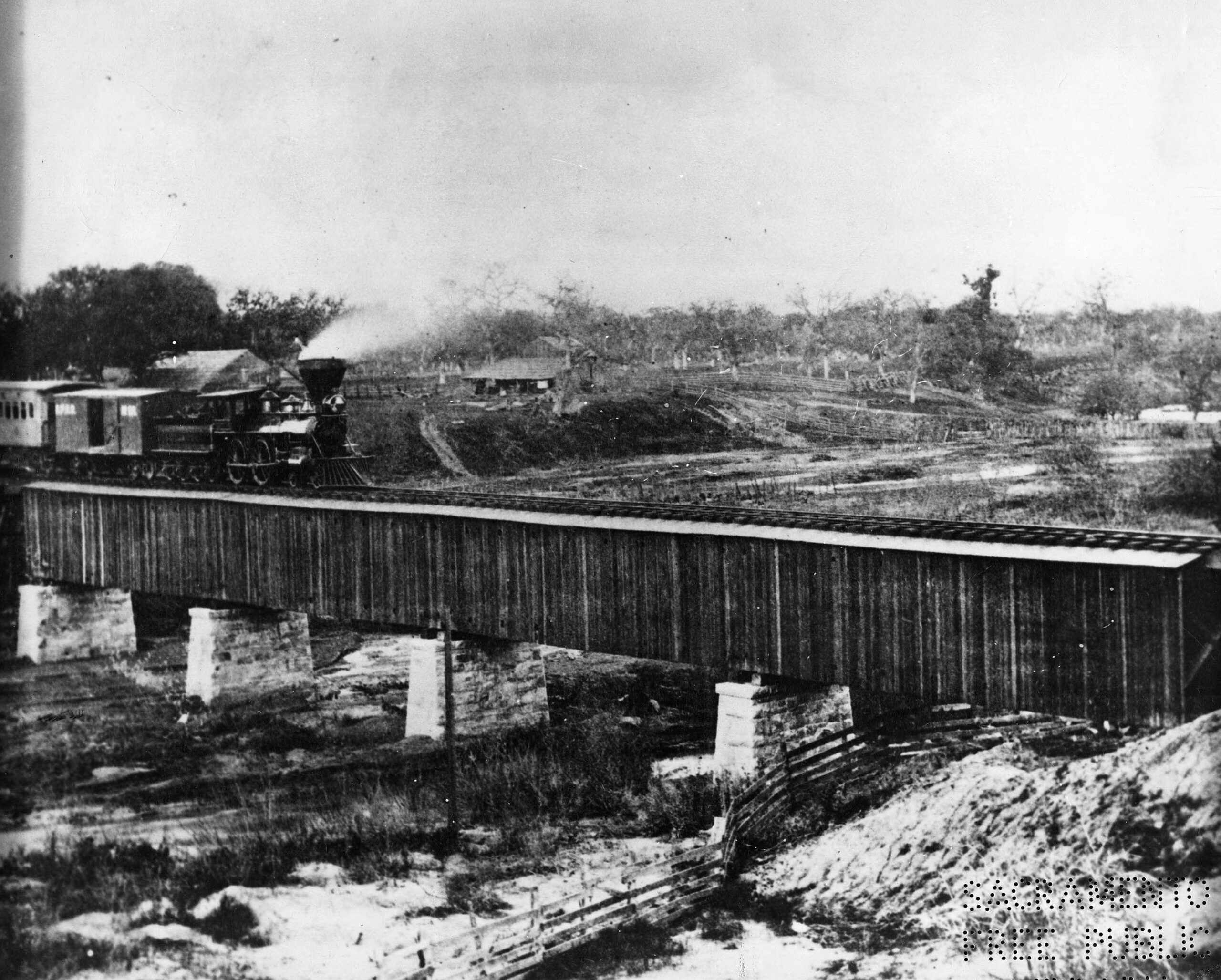
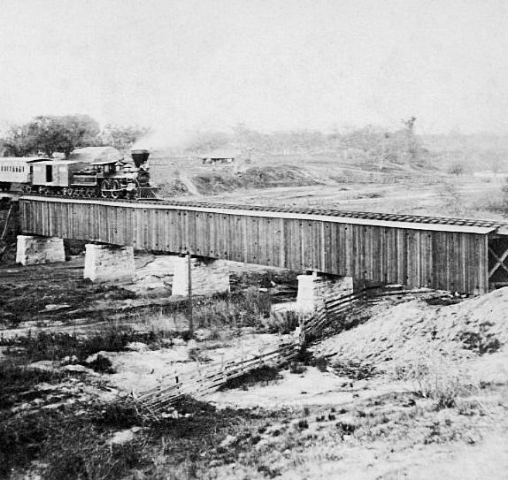
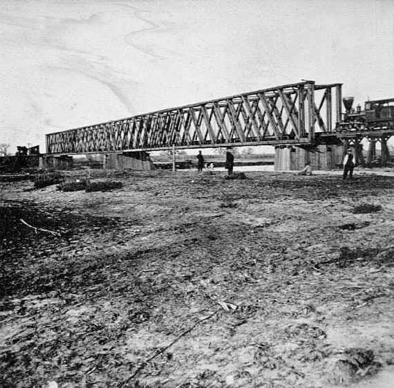
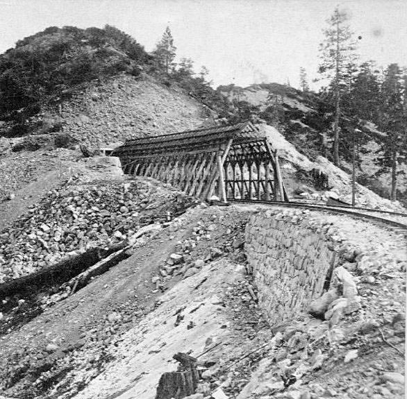
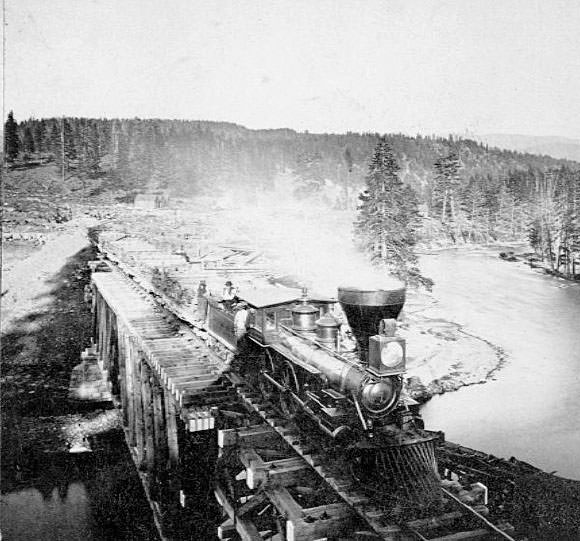
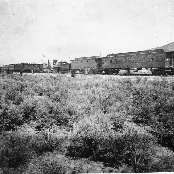
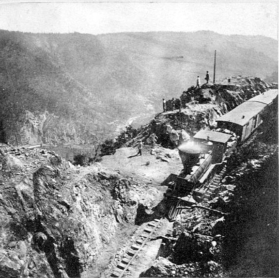
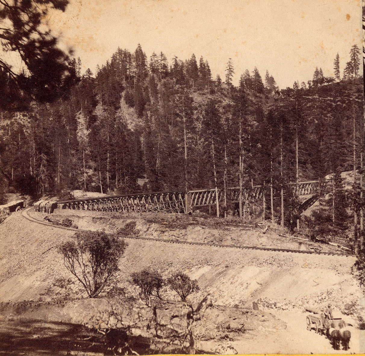
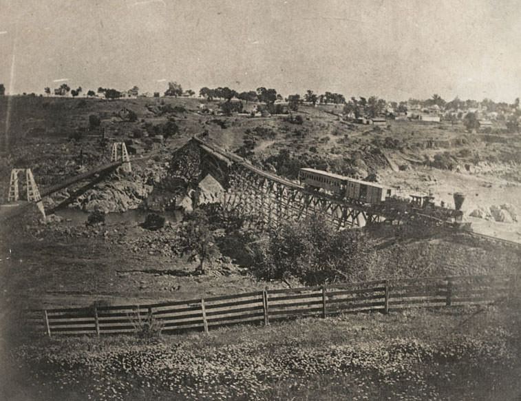
#6 A Central Pacific Railroad train of the Dry Creek Bridge, located 17 miles east of Sacramento, 1865
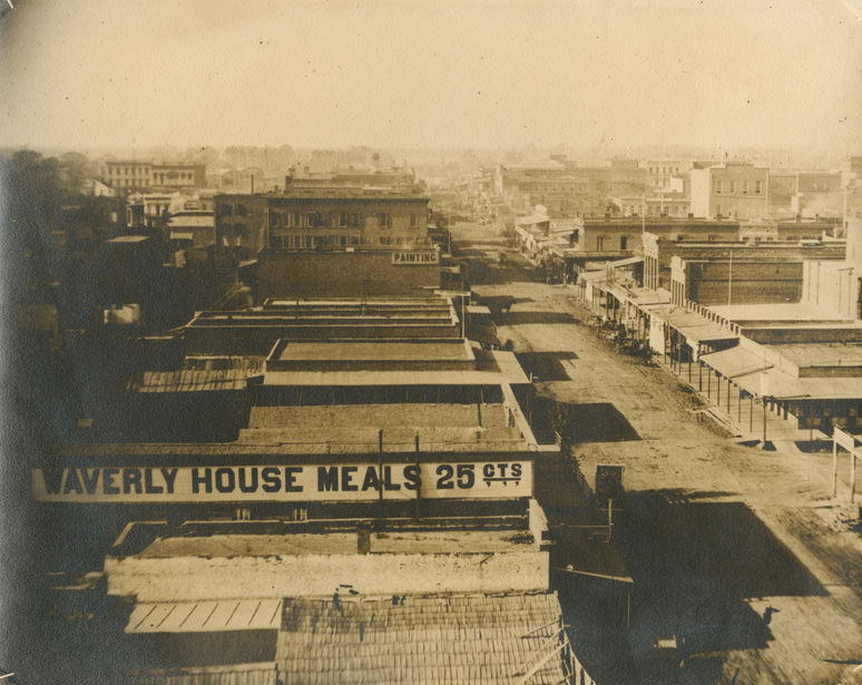
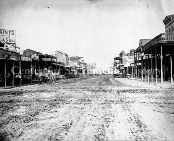
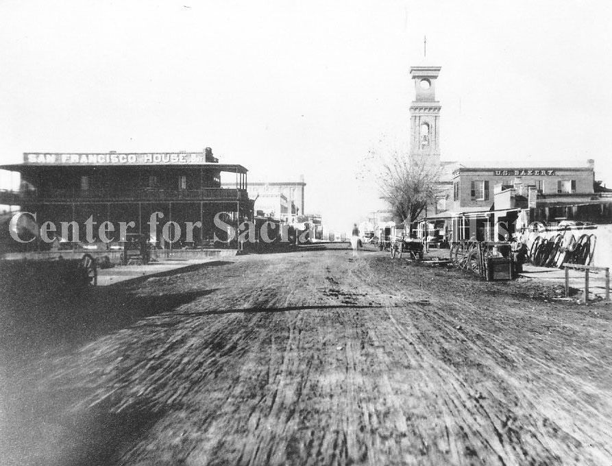
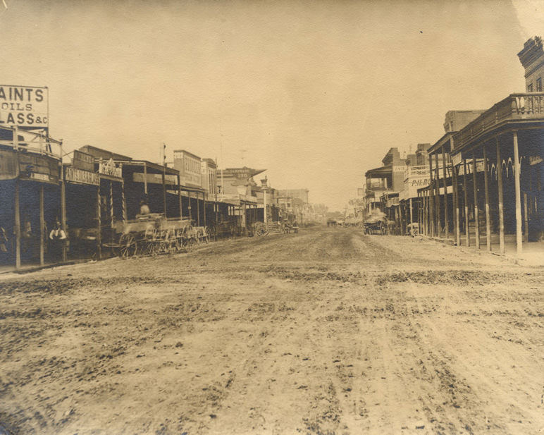
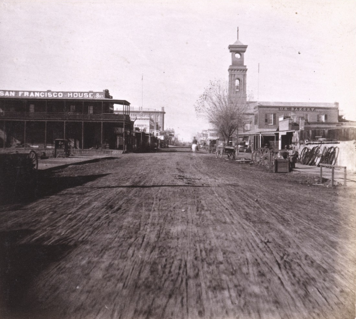
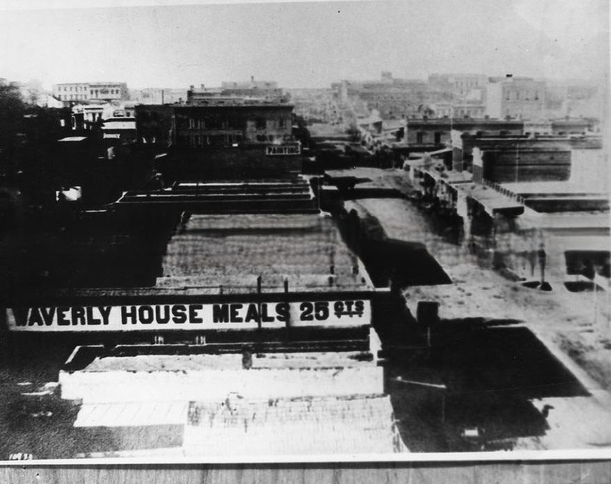
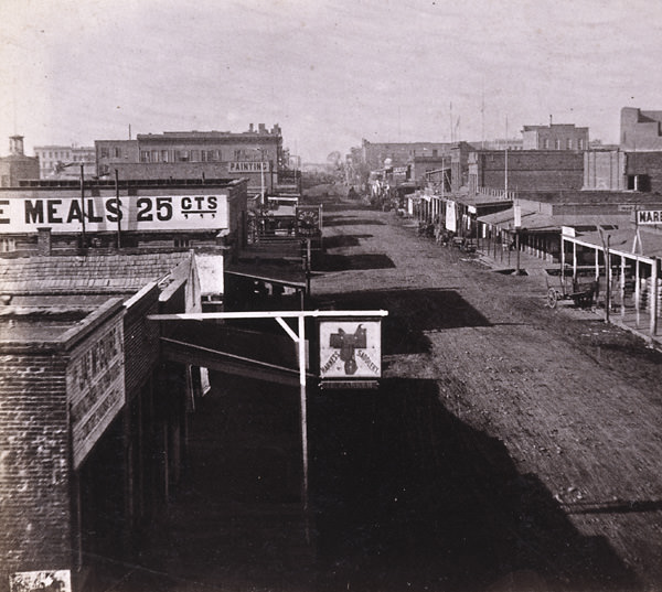
#7 View of K Street looking west from 6th Street in Sacramento, 1868
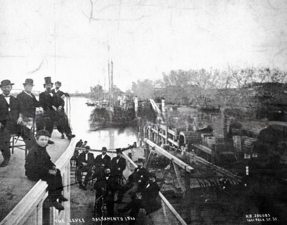
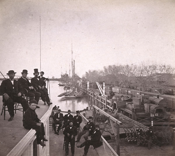
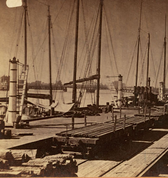
#8 The Levee Sacramento 1866. The photo shows boats, railroad tracks with train, and men seated on boat in foreground.
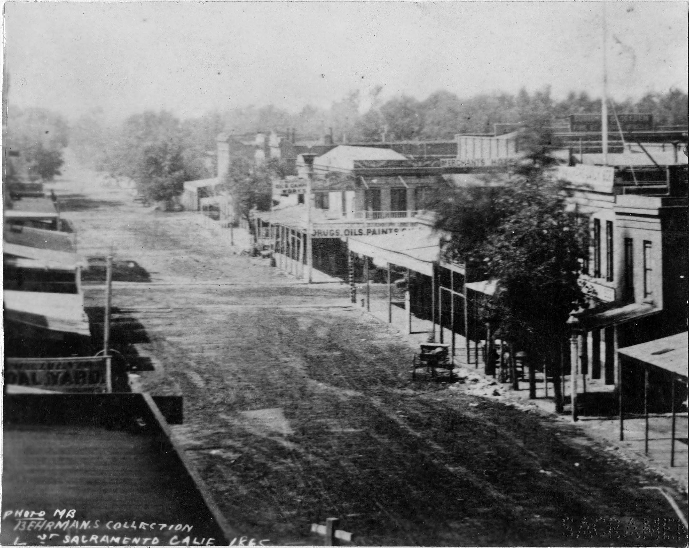
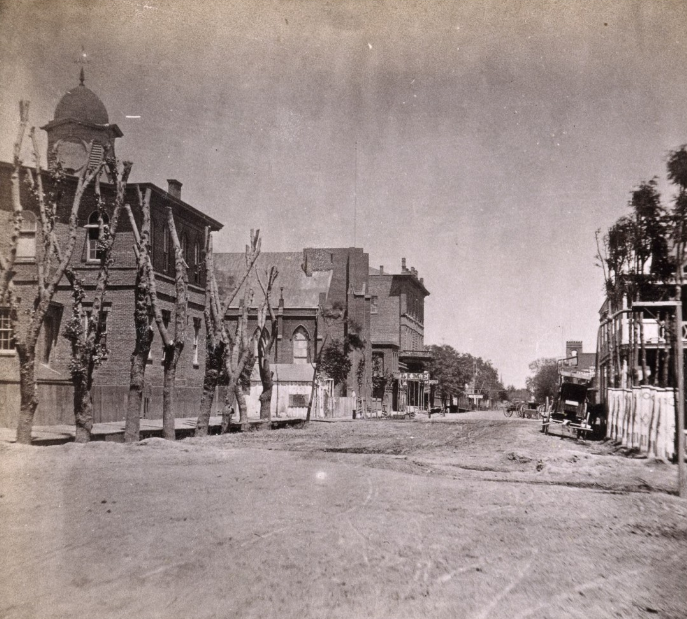
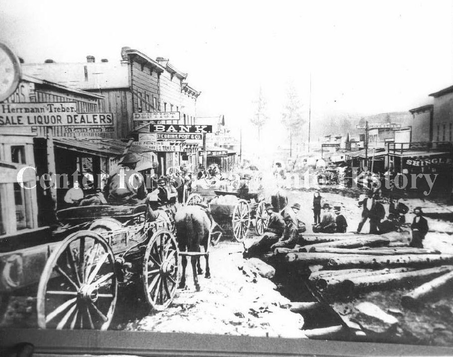
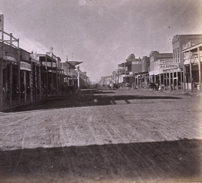
#9 J Street, Sacramento, 1865
#10 J Street, Sacramento, 1866
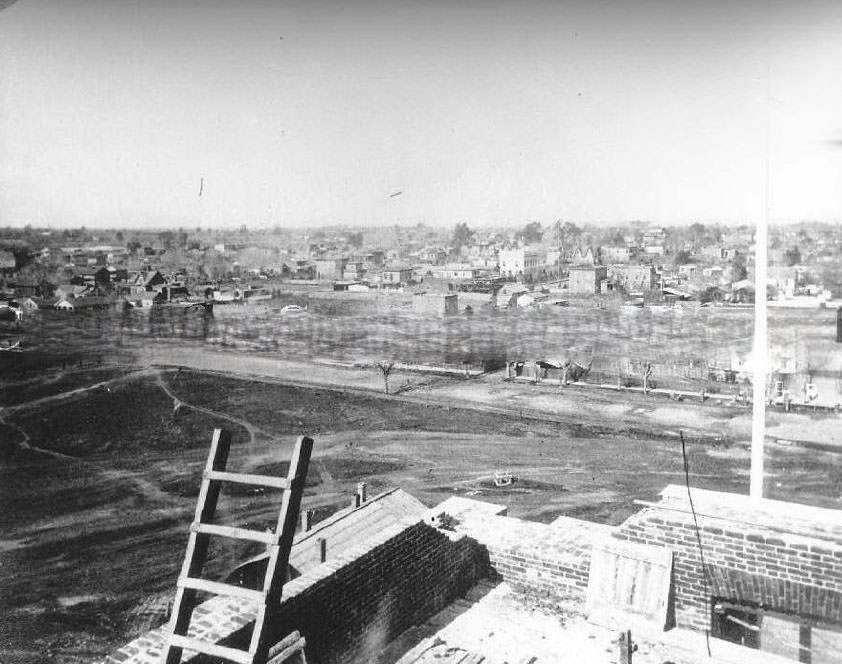
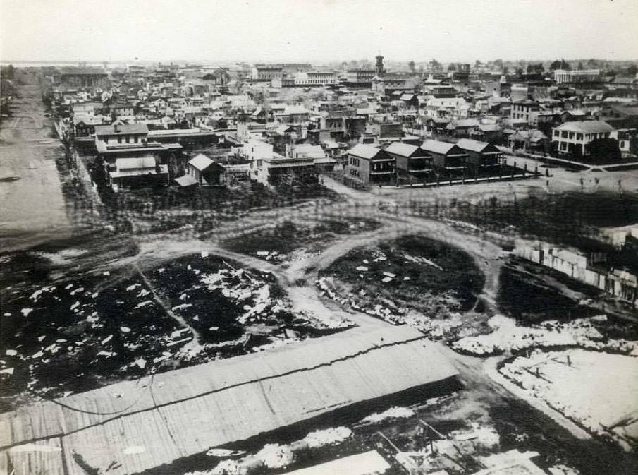
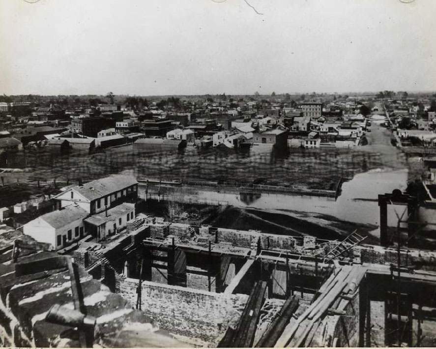
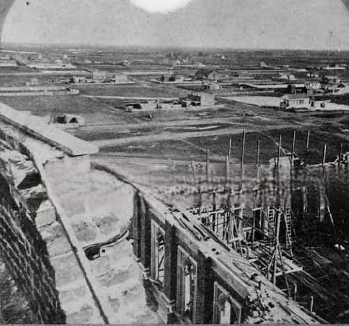
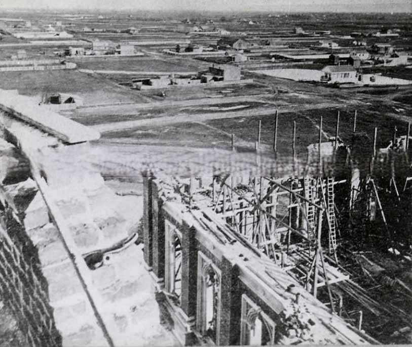
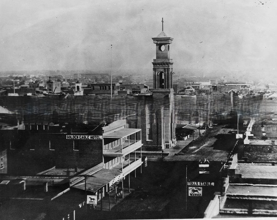
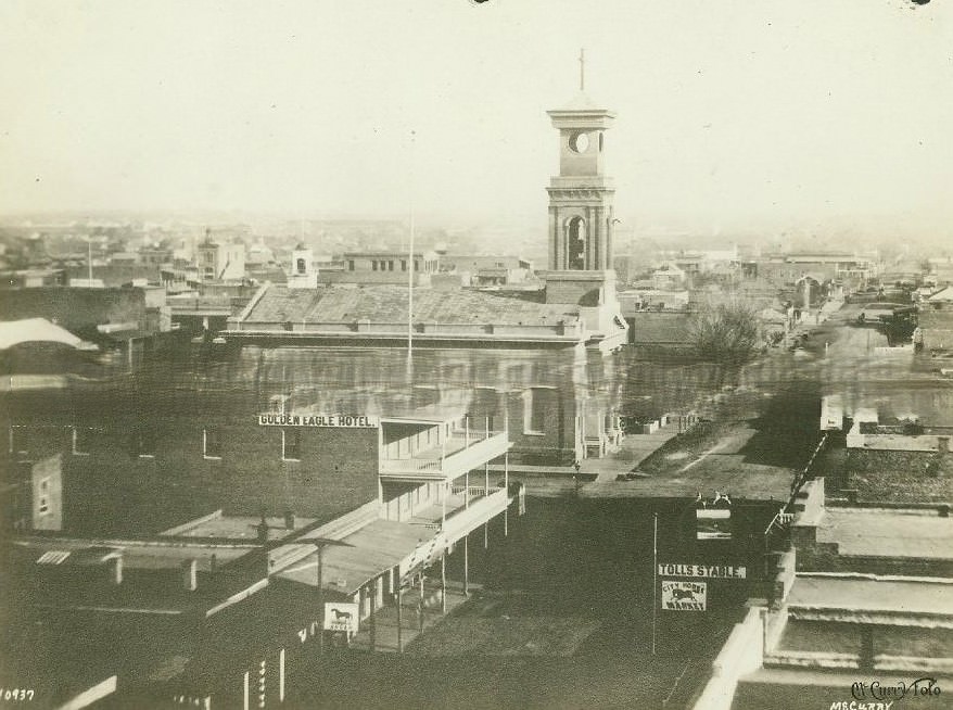
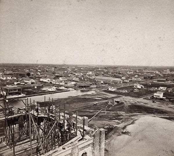
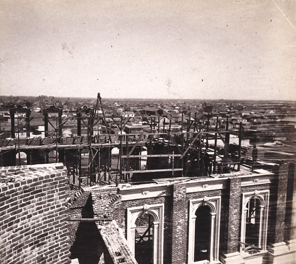
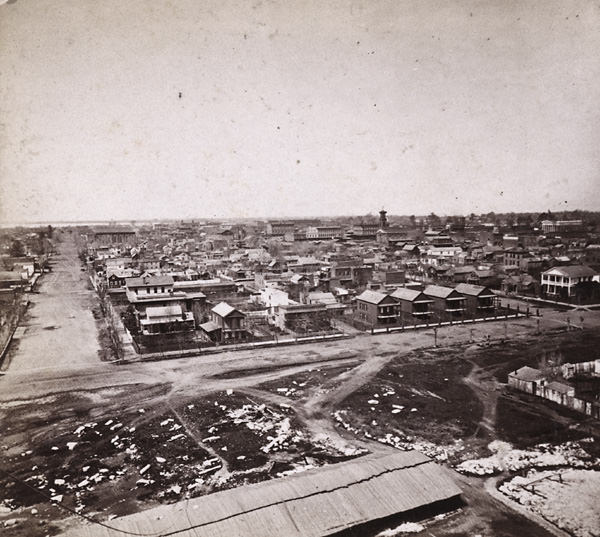
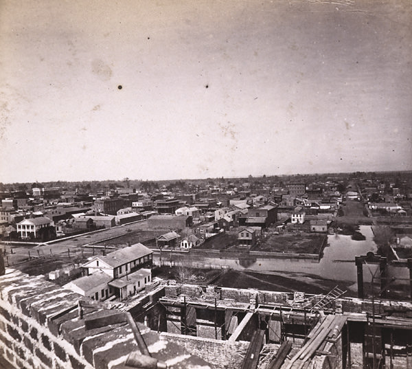
#11 Sacramento from the top of the incomplete California State Capitol building while construction, 1867
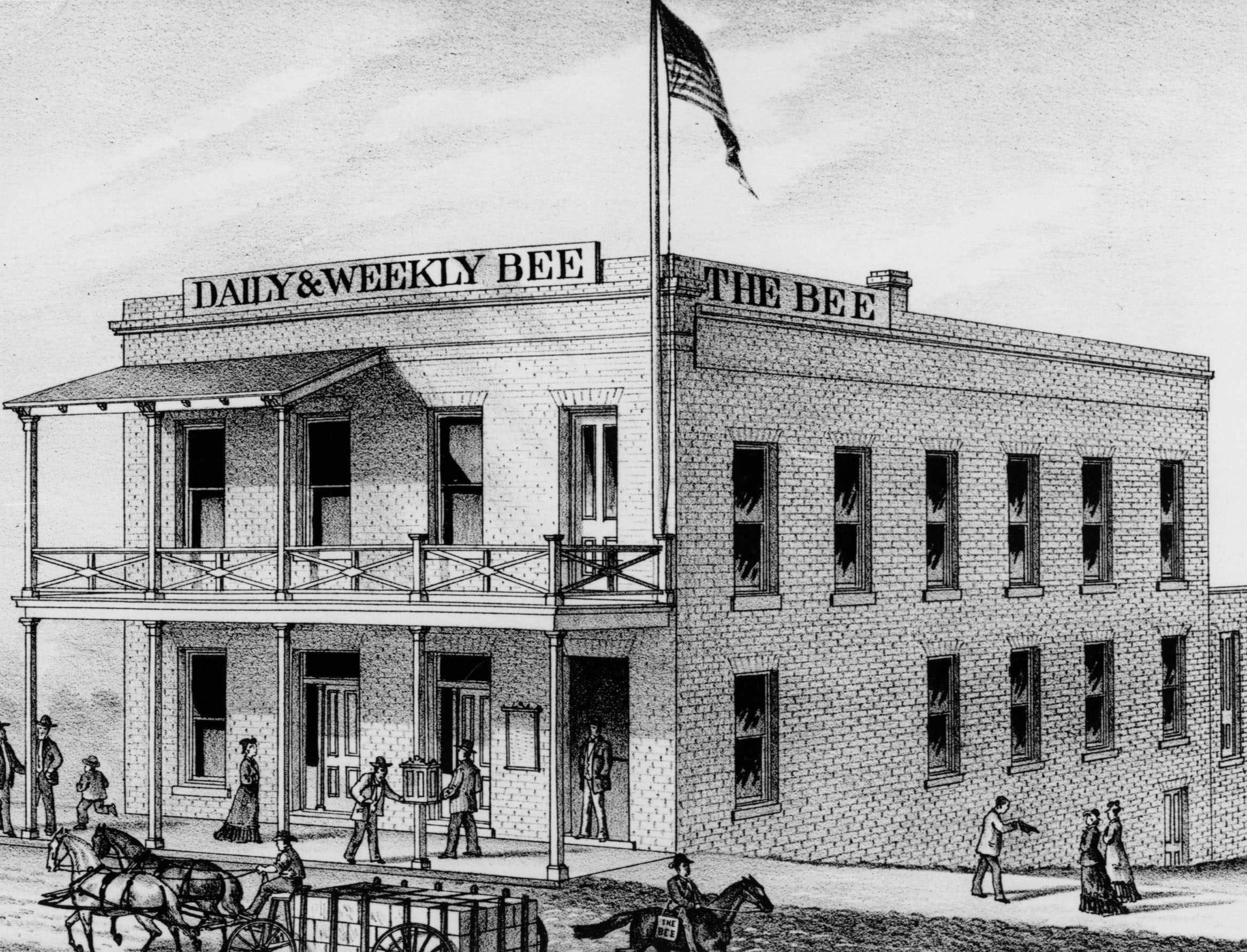
#12 Sacramento Bee Building, 1860
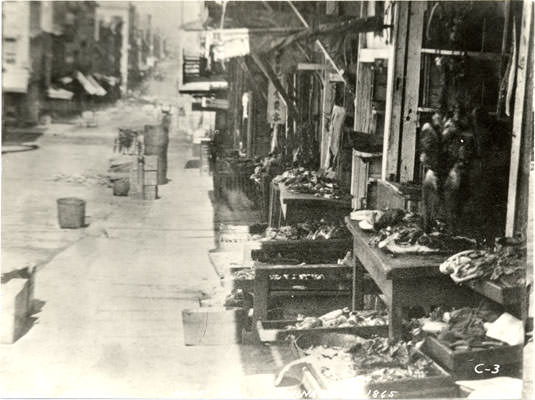
#13 8th Street, Sacramento, 1865
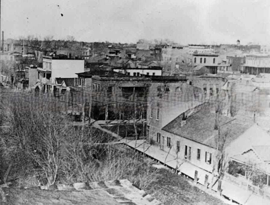
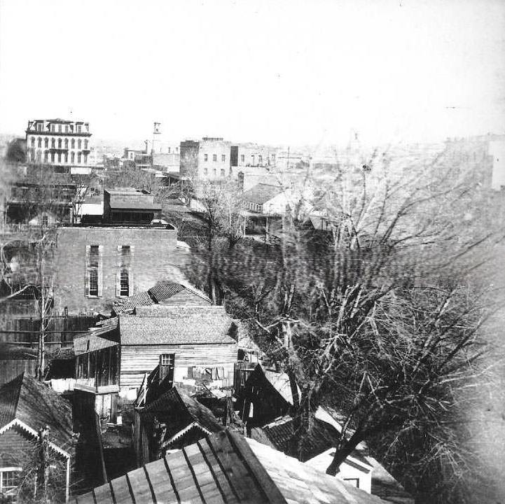
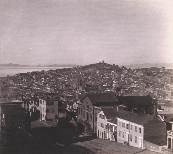
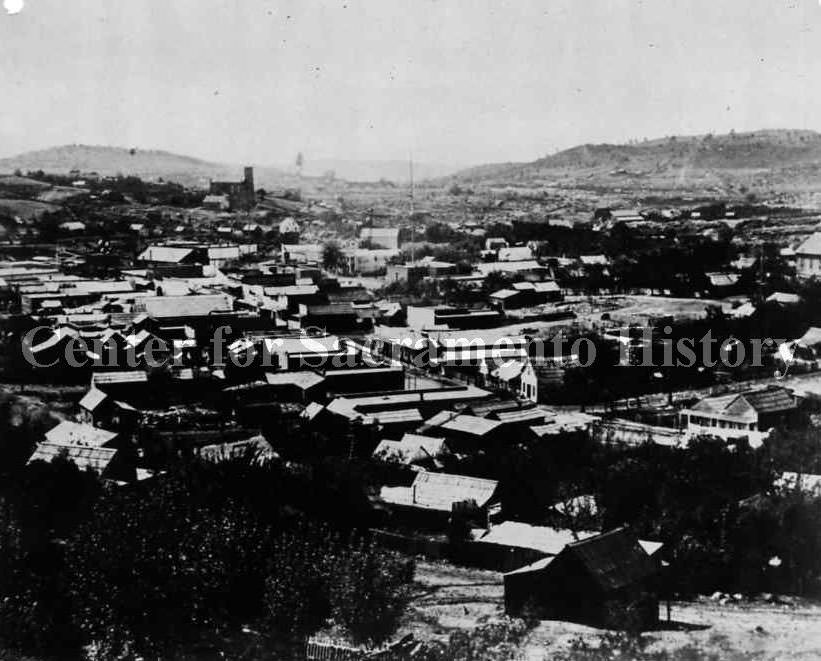
#14 Cityscape in Sacramento, 1865
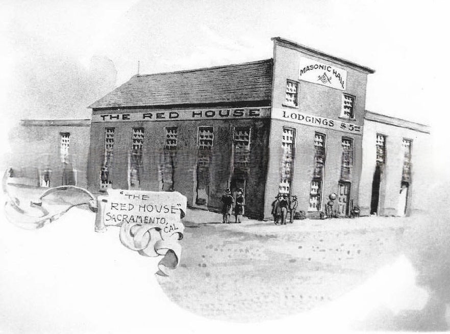
#15 The Red House, Sacramento, 1860s
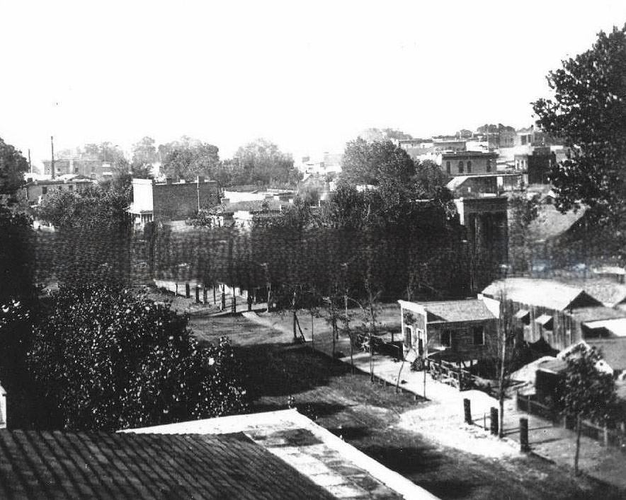
#16 Downtown Sacramento, 1865
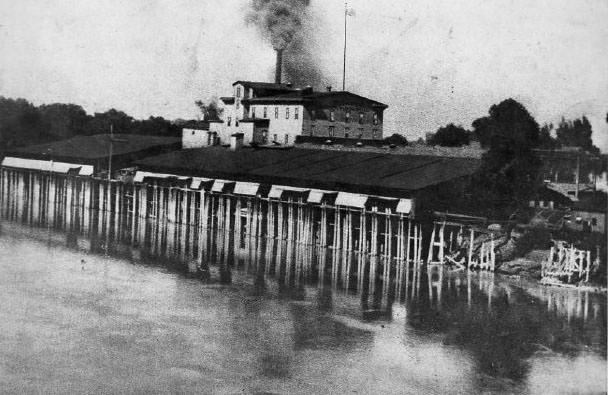
#17 Pioneer Flour Mill on the Sacramento River, 1865
#18 Sacramento, J Street east from 3rd Street, 1862
#19 K Street, Sacramento, 1868
#20 Prospect Hill from Camp 21., 1860s
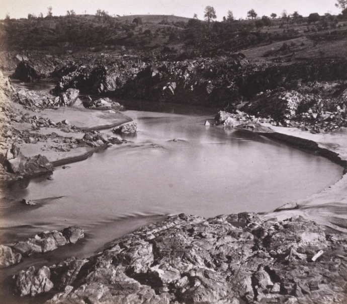
#21 Road and Rocks at foot of Crested Peak, 1860s
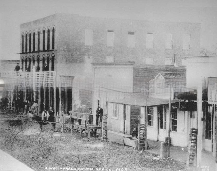
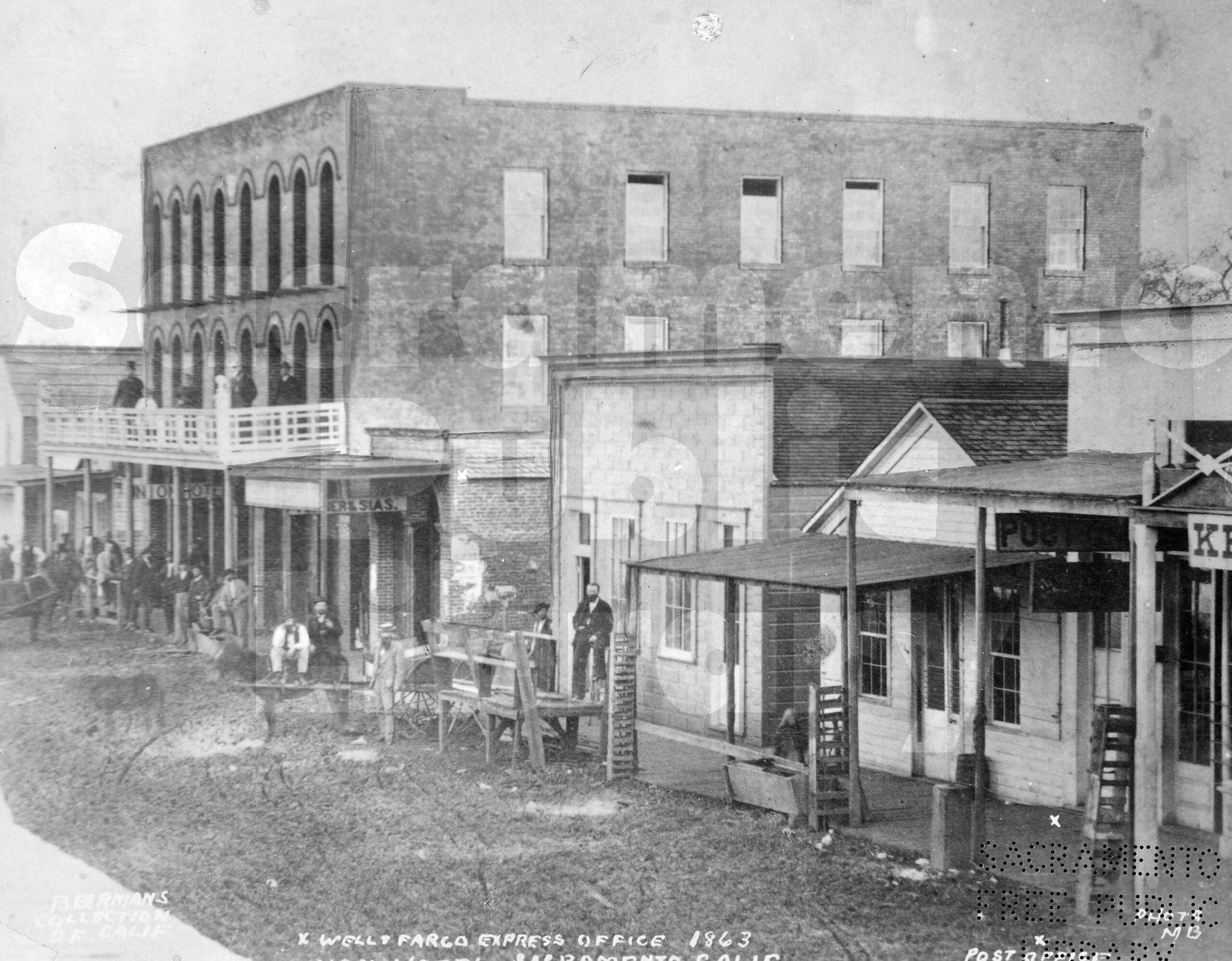
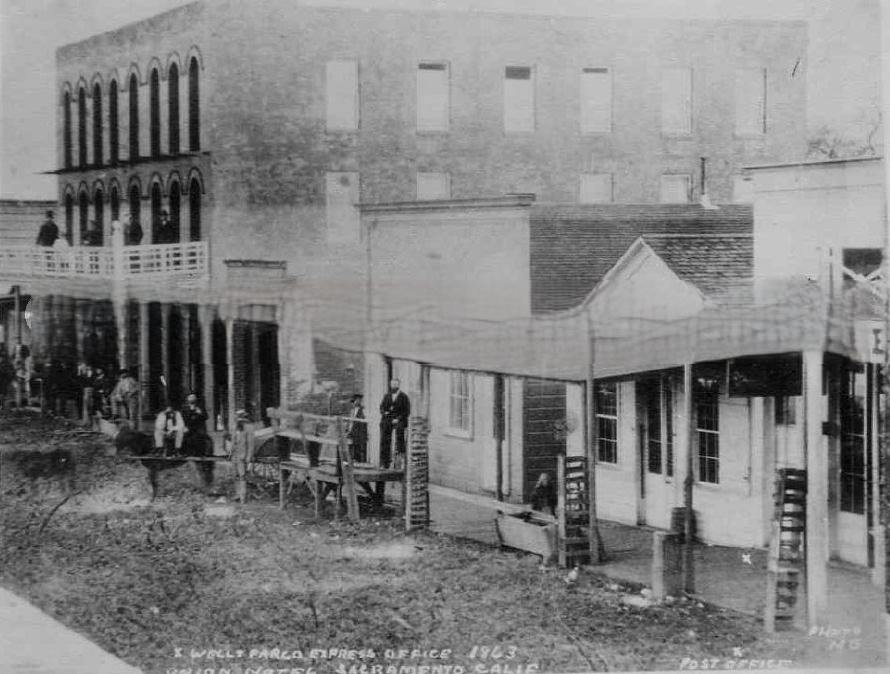
#22 Old Sacramento street scene Wells Fargo Express Office 1863 Post Office Union Hotel Sacramento.
#23 Antelope Ridge, near New Castle, 30 miles from Sacramento. Alfred Hart image, Golden State Photographic Gallery, Sacramento, 1860s.
#24 View looking north on Front Street from L Street; shows Central Pacific freight shed, 1869
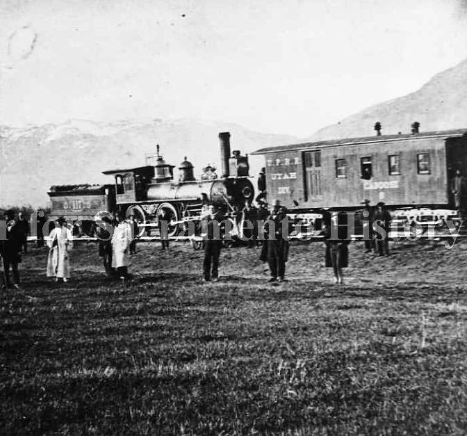
#25 The Government Stanford” engine in Sacramento, 1864
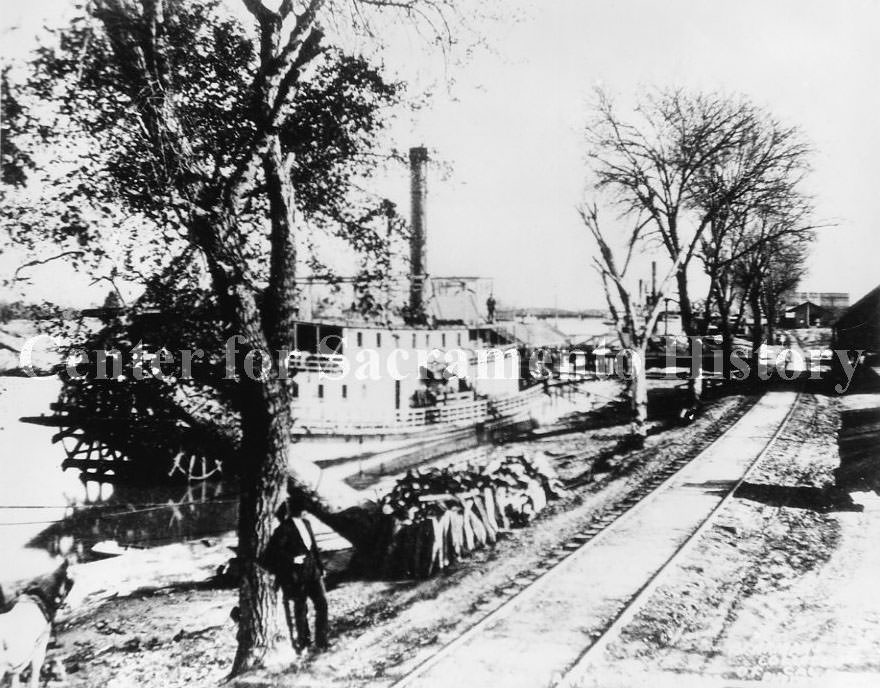
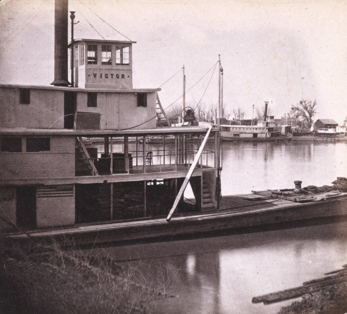
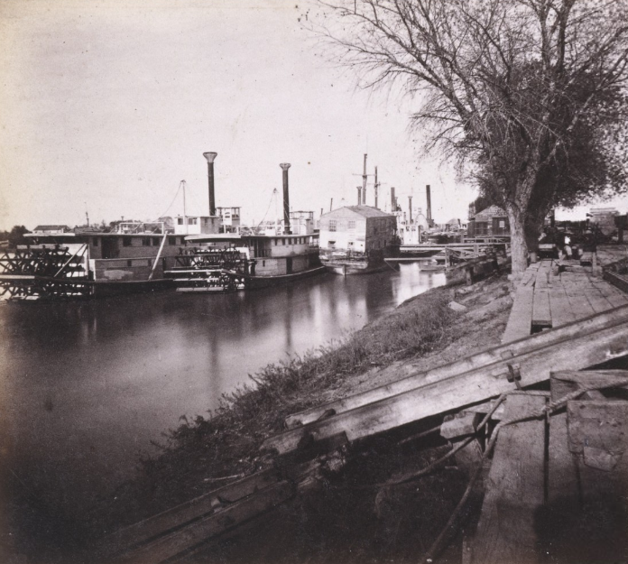
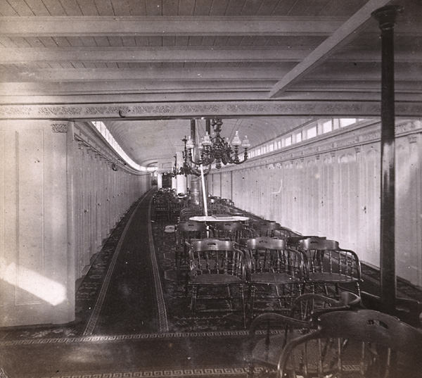
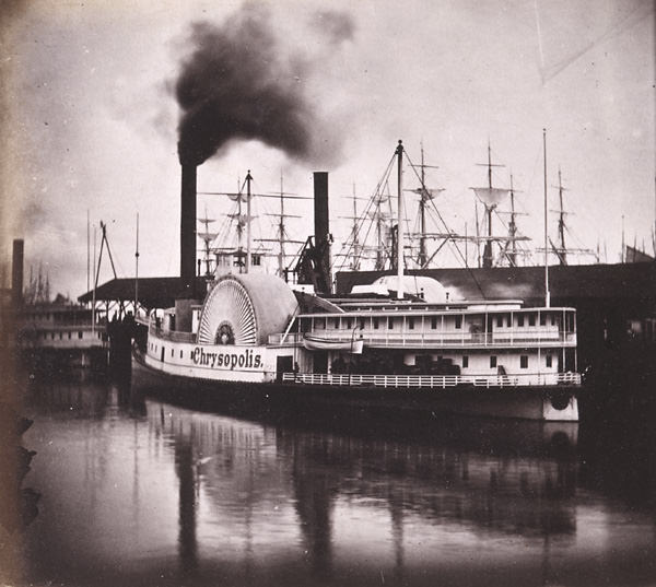
#26 Steamer “Chin Du Wan” docked on the Sacramento River, 1860
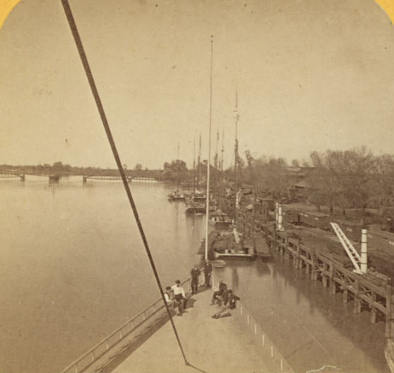
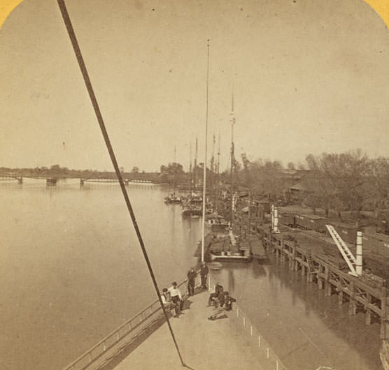
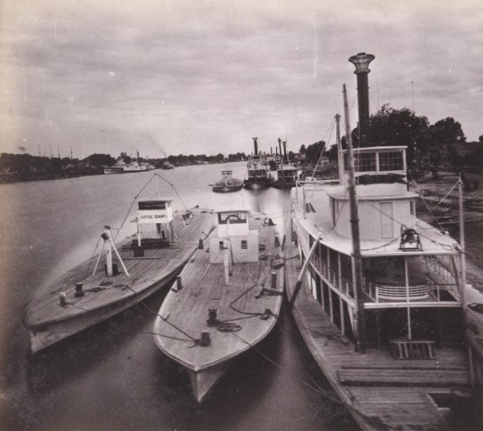
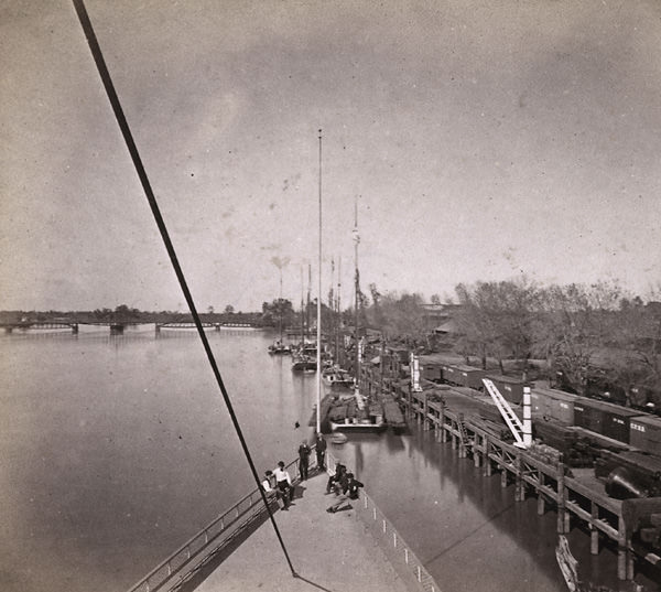
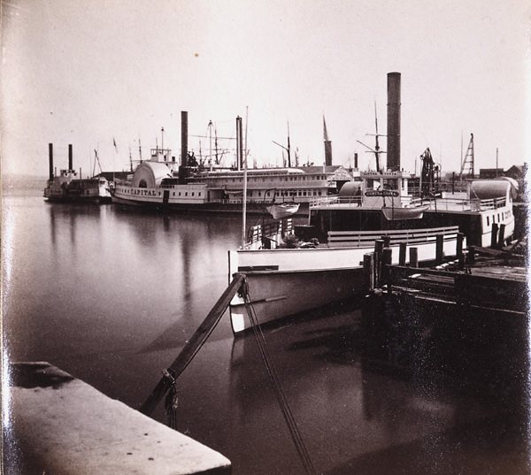
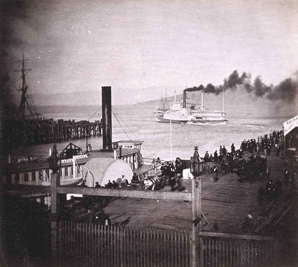
#27 The Levee at Sacramento, from the deck of the steamer Capital, 1866
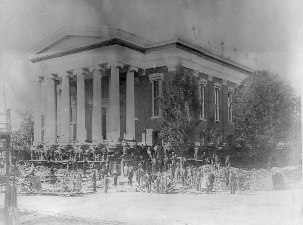
#28 The second Sacramento County Courthouse being raised during the street raising project of the 1860s.
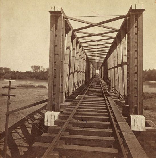
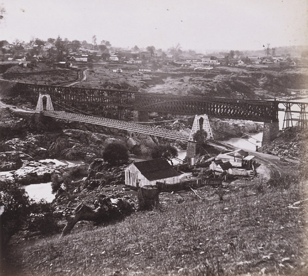
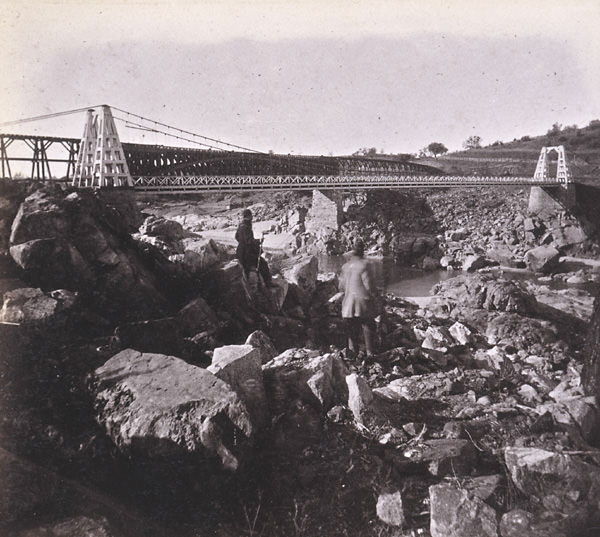
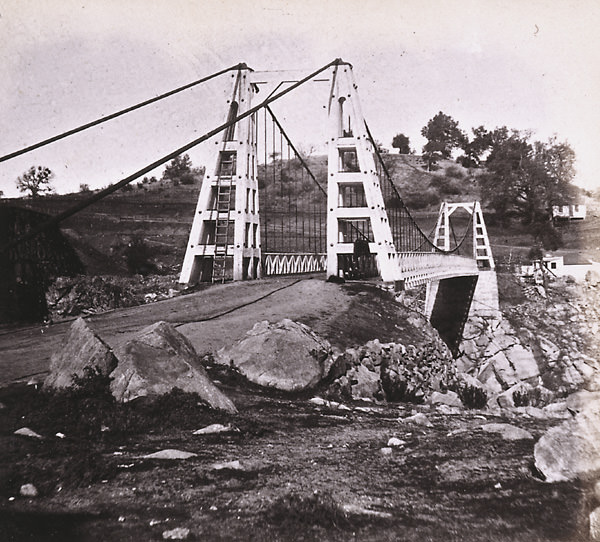
#29 American River Bridge, 3 miles from Sacramento, 1860s
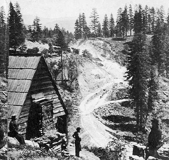
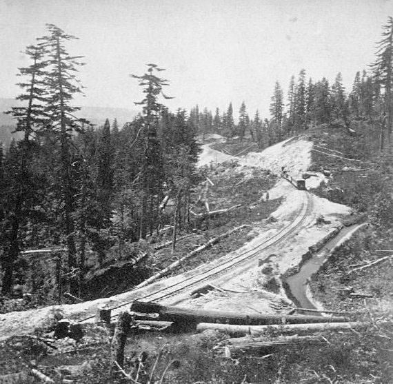
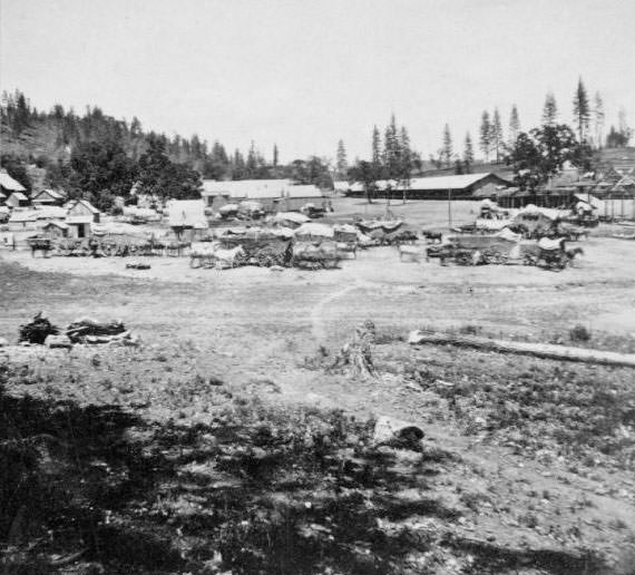
#30 Secrettown, 62 miles from Sacramento, 1860s,
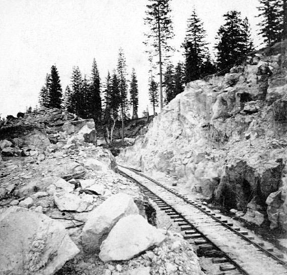
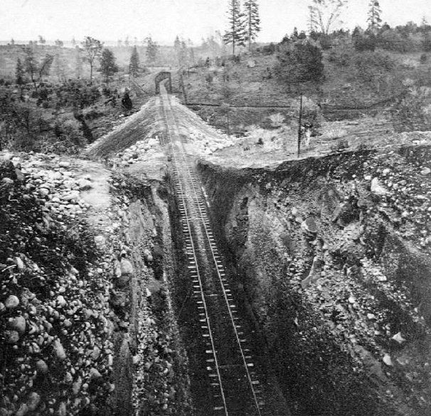
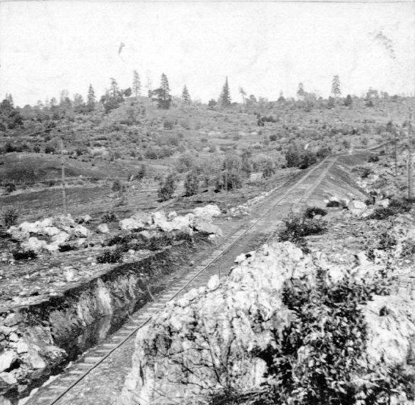
#31 Owl Gap Cut, 80 miles from Sacramento, 1860s
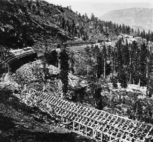
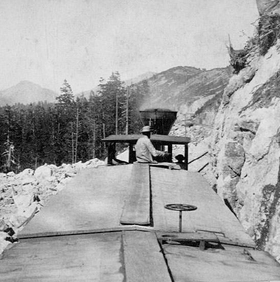
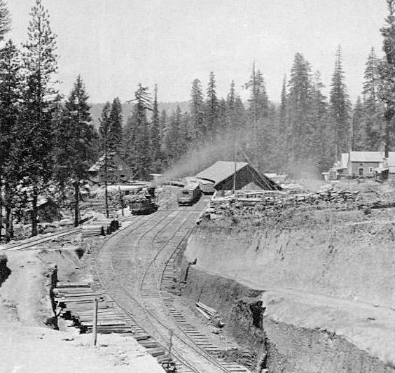
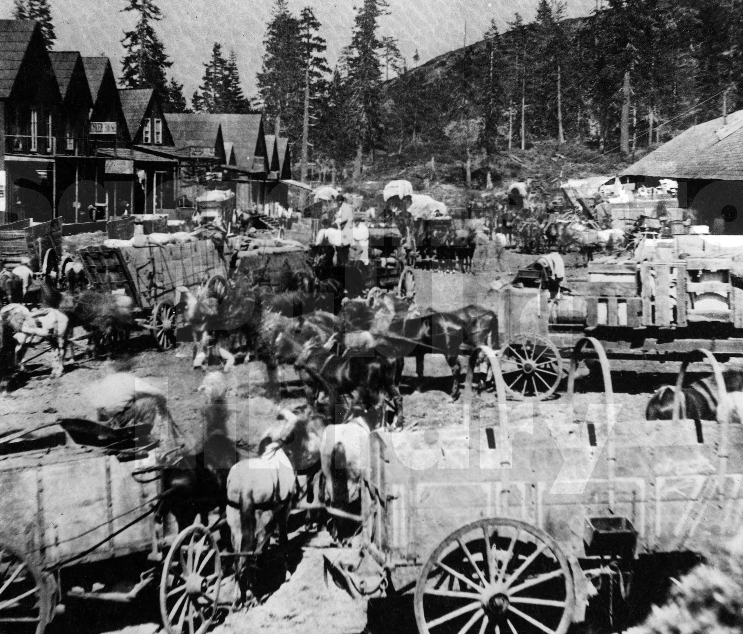
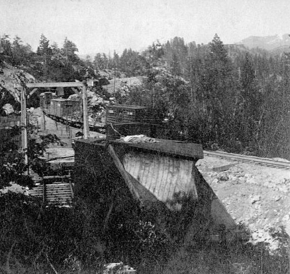
#32 The Central Pacific snowsheds at Black Butte, near Cisco in 1867. It took three years to build the sheds.
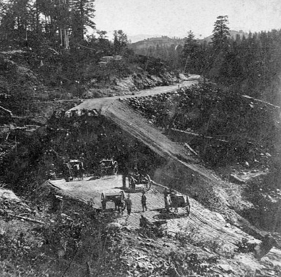
#33 Road above Newcastle, 1860s
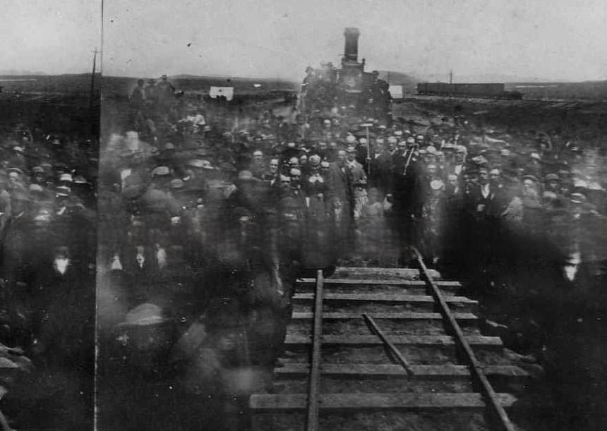
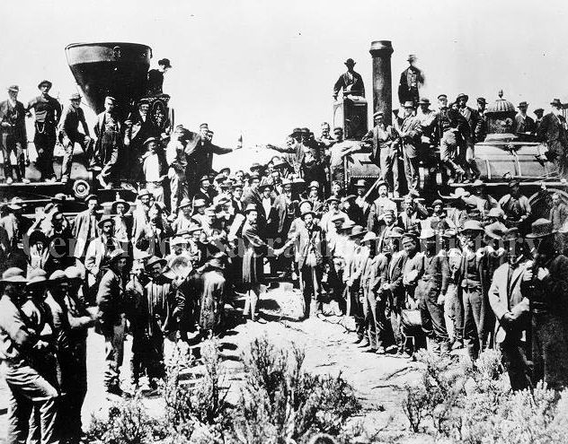
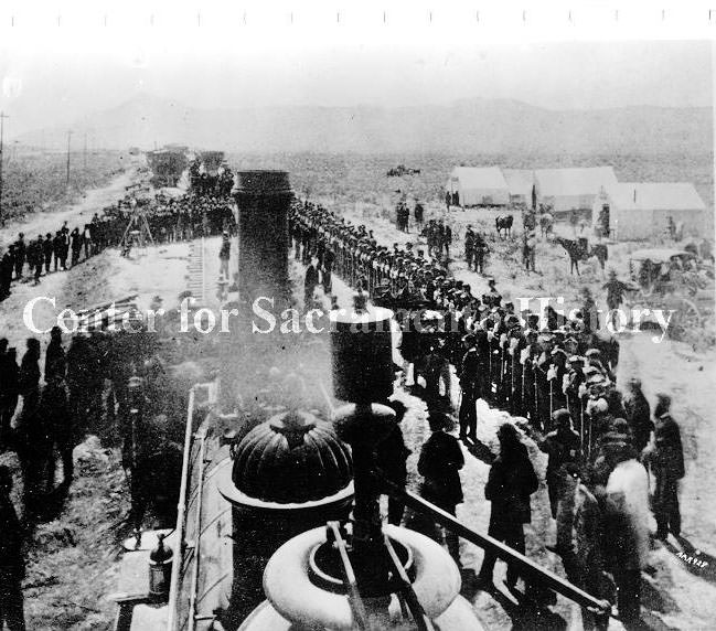
#34 Ceremonies at the completion of the transcontintental railroad, 1869
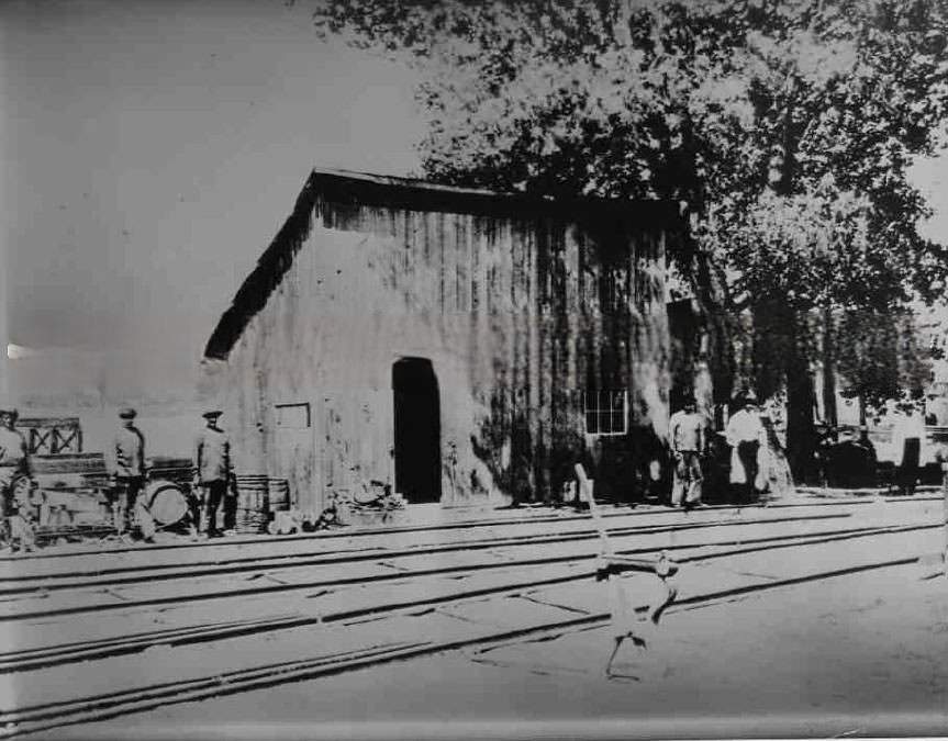
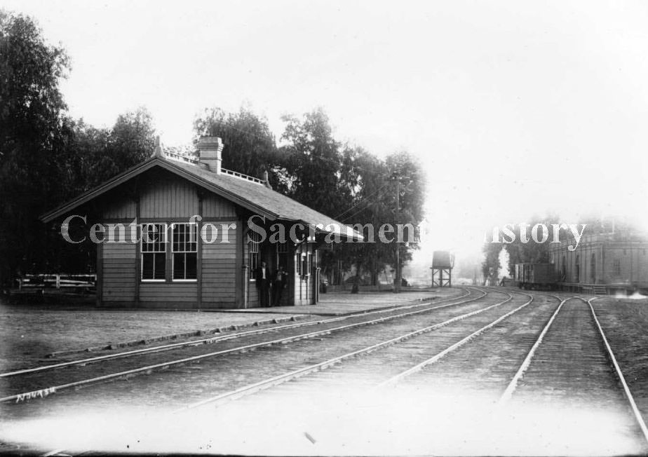
#35 Central Pacific R. R. station, 1863
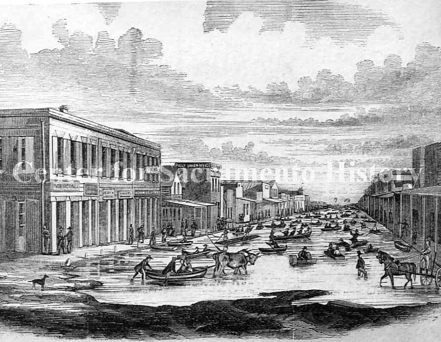
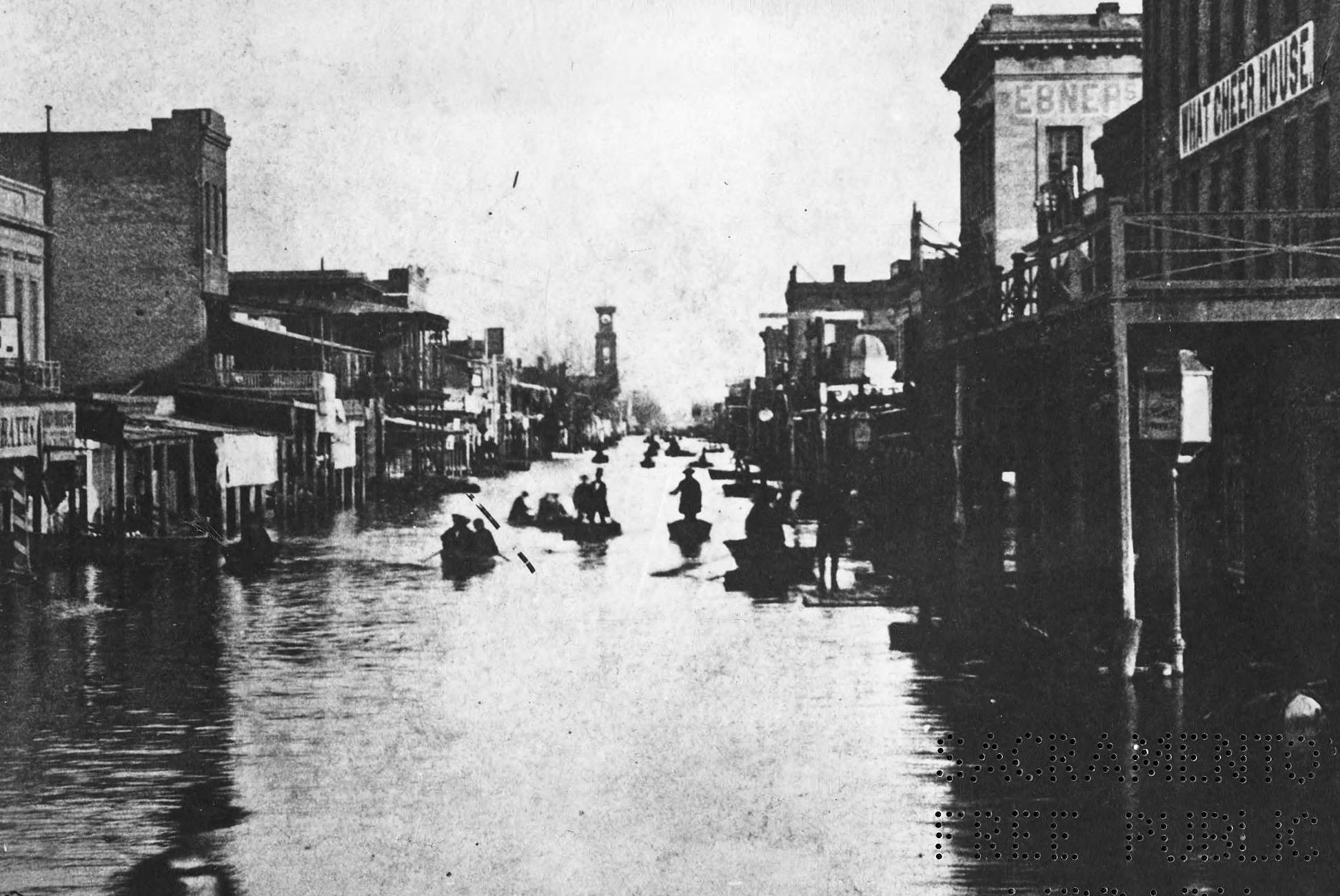
#36 Flood, J Street at 3rd Street, looking east, 1863
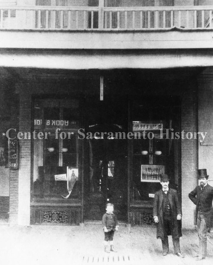
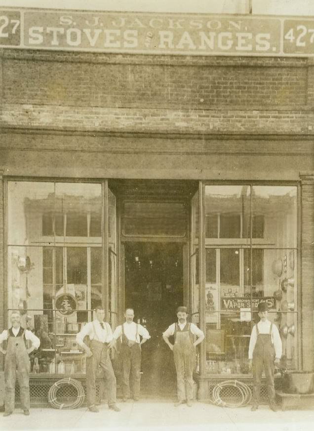
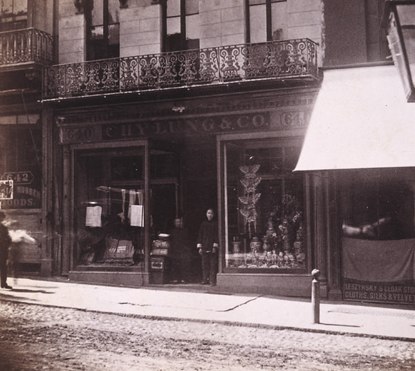
#37 Store front on J Street with a men and a small boy posing in front of the store, 1868
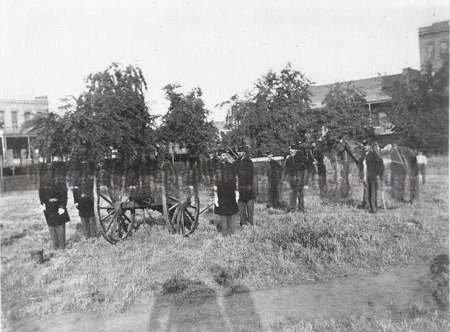
#38 Union Boy cannon and Army crew in Plaza Park 1868.
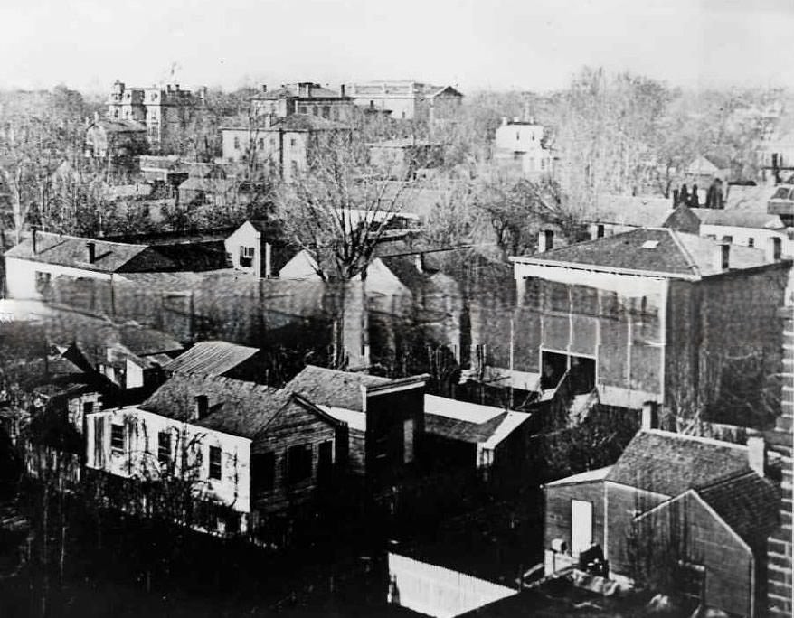
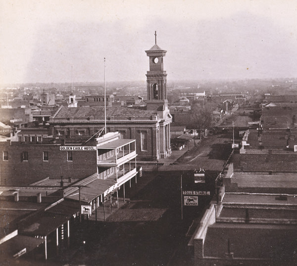
#39 Cityscape, Sacramento, 1860s
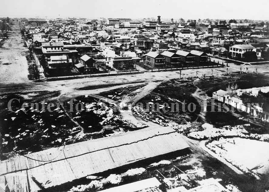
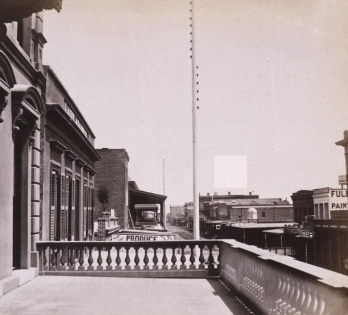
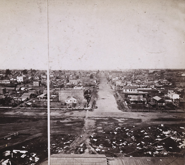
#40 Cityscape of Sacramento taken from the state capitol building under construction. Taken from the Capitol Building. 10th street L to M street, looking West, 1868
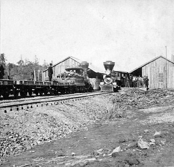
#41 Auburn Depot, 36 miles from Sacramento, 1860s
#42 Emigrant Gap Tunnel Wall and Snow Covering, 1860s
#43 Flood of 1862, Sacramento, J Street looking east from levee.
#44 Railroad West from Fort Point, 76 miles, 1860s
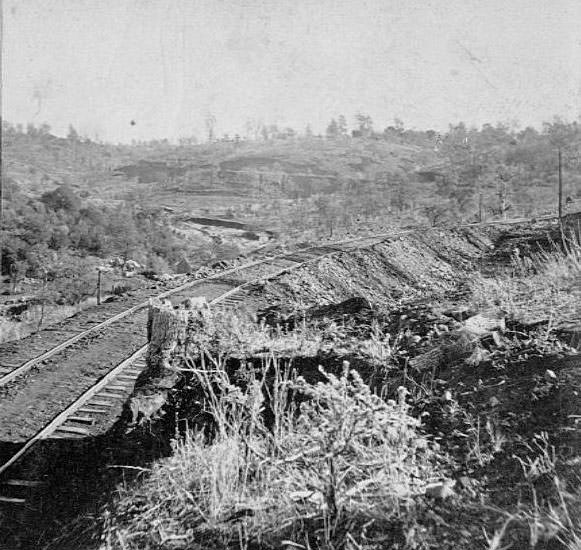
#45 Sandstone Cut, near Alta, 1860s
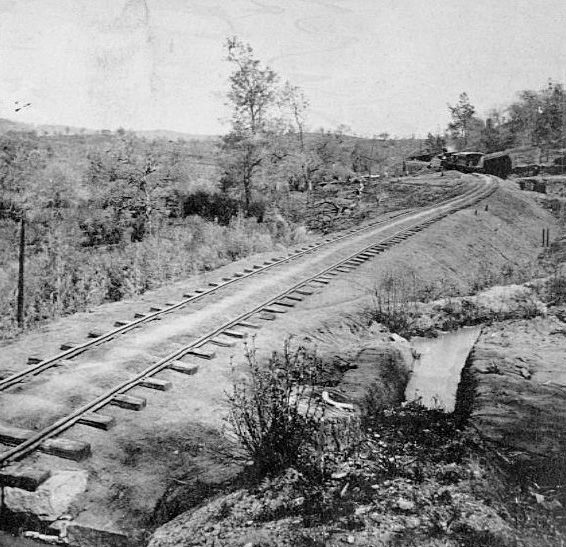
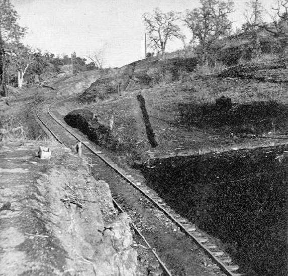
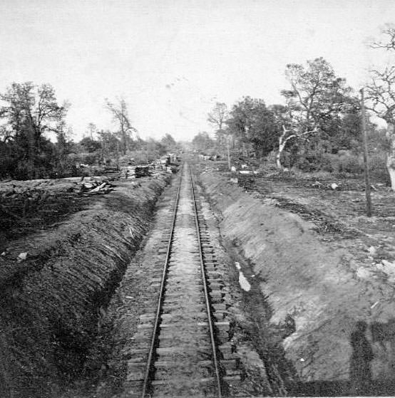
#46 Tangent below Pino, 23 miles from Sacramento, 1860s
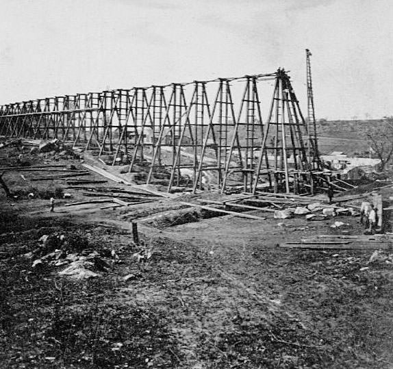
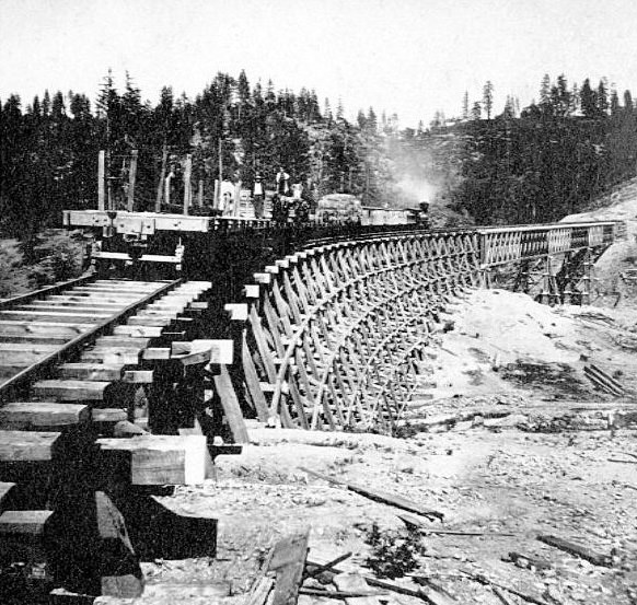
#47 Building Trestle at New Castle, Placer County.1860s,
#48 Road above Newcastle, 1860s
#49 Sacramento flood, 1862
#50 Heath’s Ravine Bank, 82 miles from Sacramento, 1860s
#51 Cement Ridge Old Man Mountain in distance, 1860s,
#52 Alta from the north…69 miles from Sacramento, 1860
#53 K Street, looking east from near 6th Street Sacramento, 1866
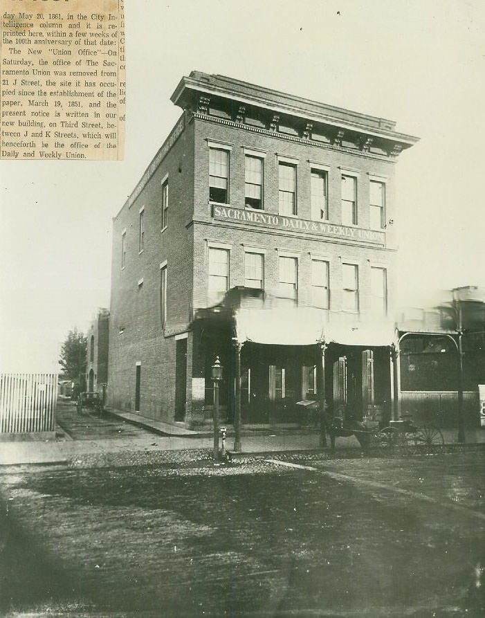
#54 Sacramento Daily & Weeklyl Union newspaper building, 1860s
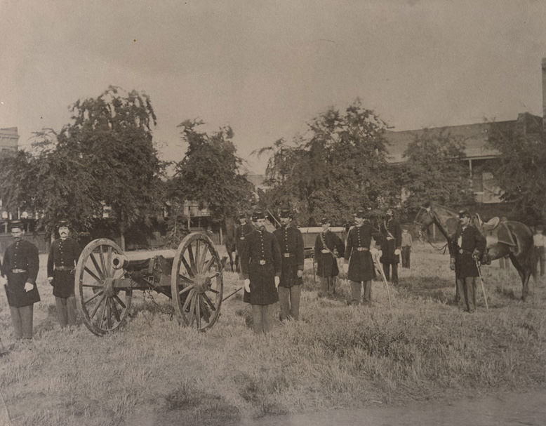
#55 Nine members of the California Milita Batter B. An 1841 Howitzer Cannon at left. The men stand in grassy area, bldgs. at rear, Sacramento City Plaza, 1865
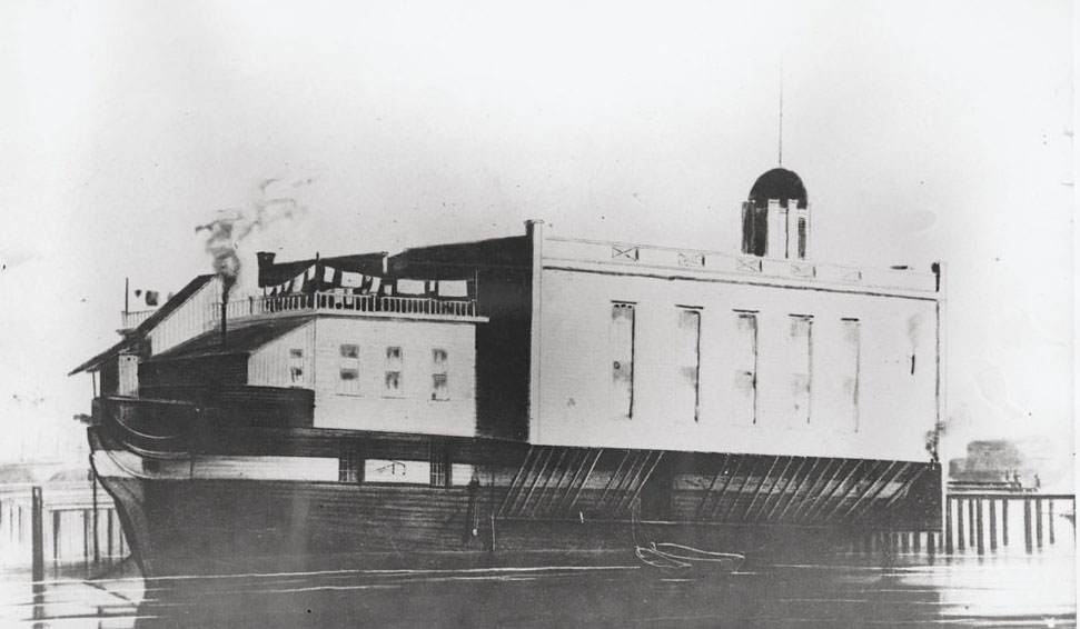
#56 La Grange, moored on the Sacramento River opposite H Street; used as the second Sacramento County prison from 1860s
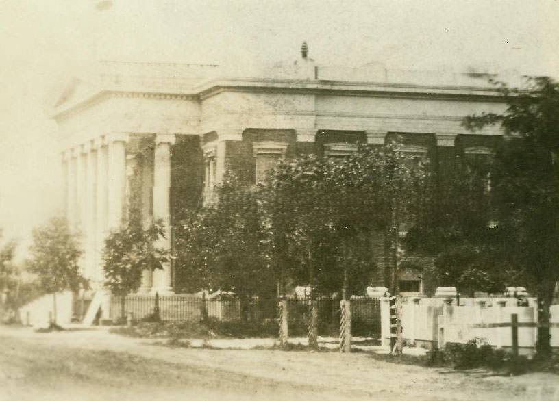
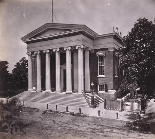
#57 Sacramento County Courthouse, 1865
#58 Cityscape of Sacramento, 1861
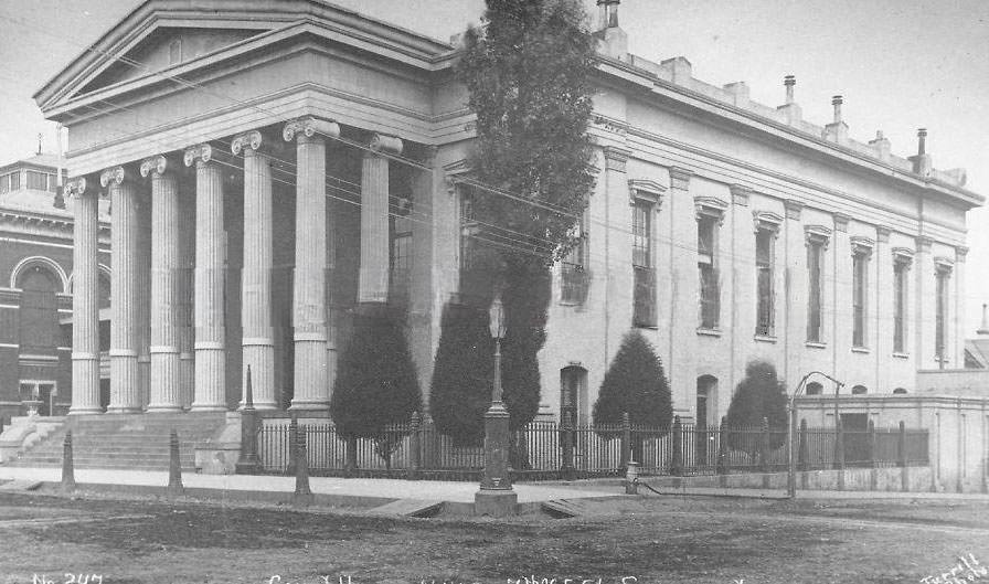
#59 View of the Courthouse located on the northwest corner of 7th and I Streets, 1865
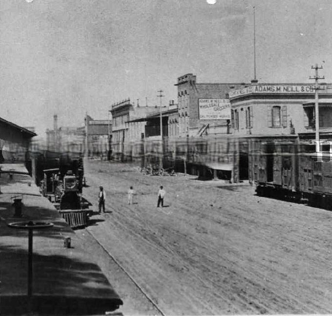
#60 Sacramento Valley Railroad and Central Pacific Railroad Buildings, 1863
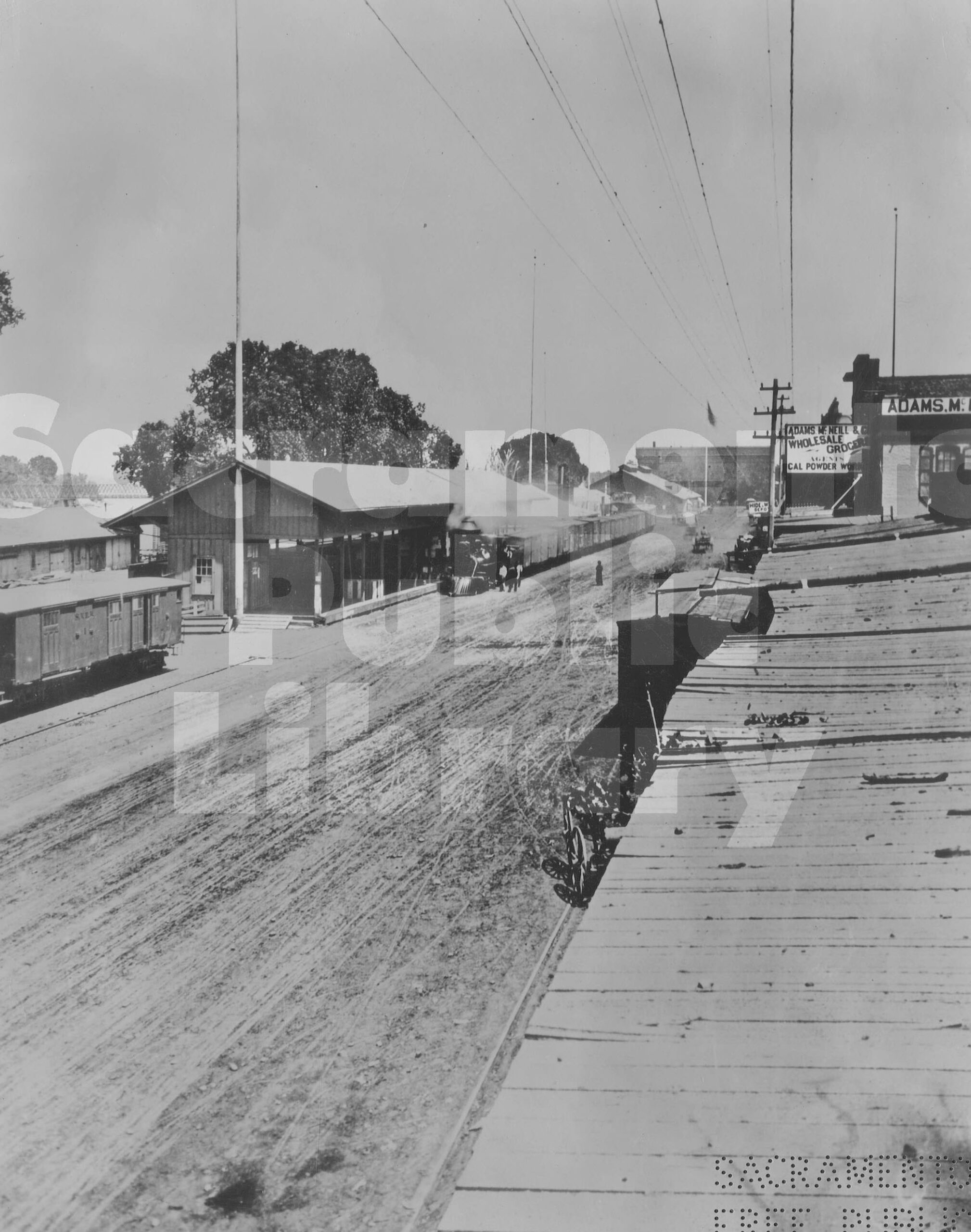
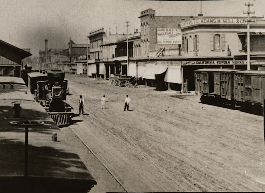
In the immediate foreground, with a train stopped at its side, is the Sacramento Valley Railroad depot; to the right of that is the freight depot of the Central Pacific Railroad at 65 Front Street; beyond that, and boasting a double-cupolas roof, is Central Pacific’s passenger depot. At the end of Front Street, near the intersection with I Street, is the Sacramento Water Works building. Visible to the right of the photograph is wholesale grocer Adams, McNeill and Company. To the far left of the photograph and spanning the Sacramento River is the Central Pacific Bridge.
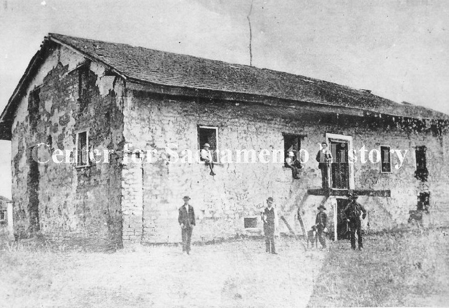
#61 A View of Sutter’s Fort, 1862
#62 K and 3rd Streets, looking south, 1865.
#63 Street scene with businesses, 1868
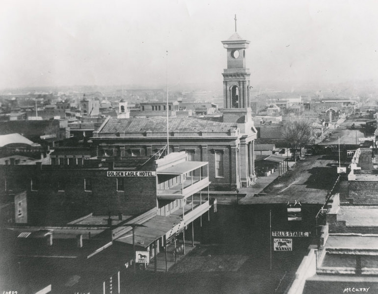
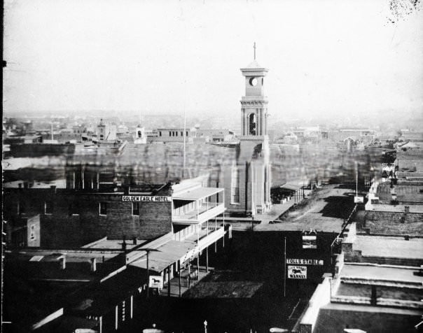
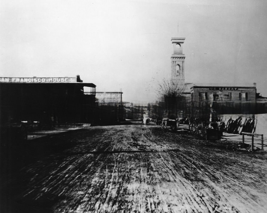
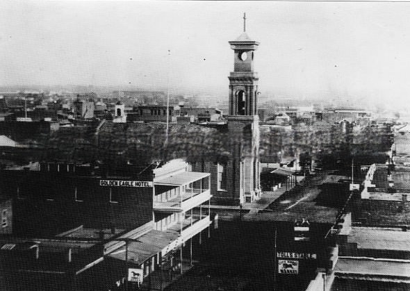
#64 Street scenes of businesses on K Street from 9th Street looking west in 1860. St. Rose of Lima Church is on the right.
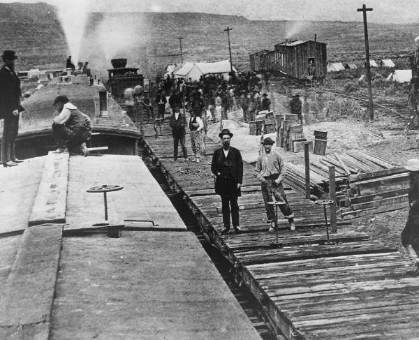
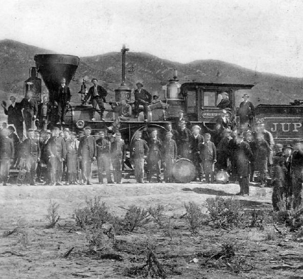
#65 Crowd and engines gathered for Transcontinental Railroad Golden Spike completion ceremony, 1869
#66 K Street/9th Street 1868
#67 Colfax from the South, 1860s
#68 Folsom Train Depot, 1860
#69 Union Pacific Railroad train, 1869
#70 265 Boca Crossing of Little Truckee, 1860s
#71 Golden Spike Ceremony, 1869
#72 J Street looking West, Sacramento City 1868,
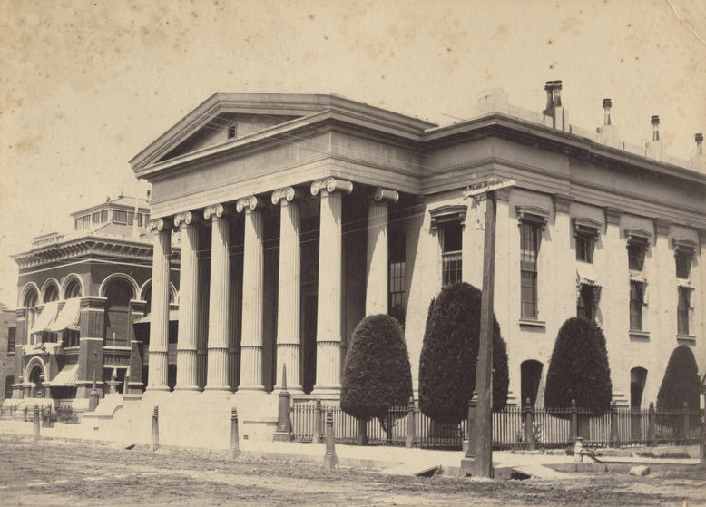
#73 State Capitol at 7th and I Streets, 1860s
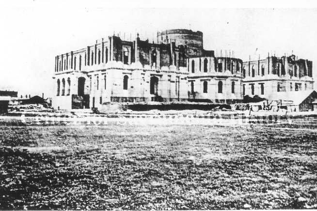
#74 California State Capitol under construction, 1867
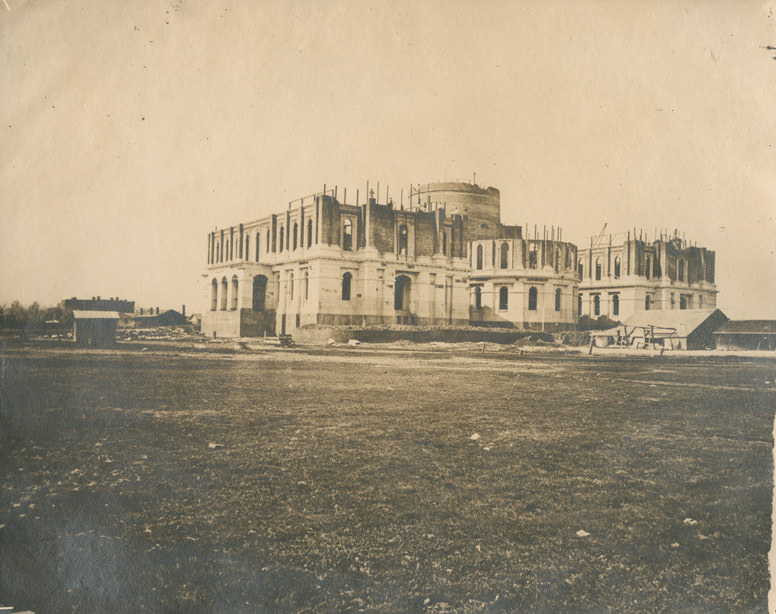
#75 Shows Capitol under construction, view from southeast, 1868
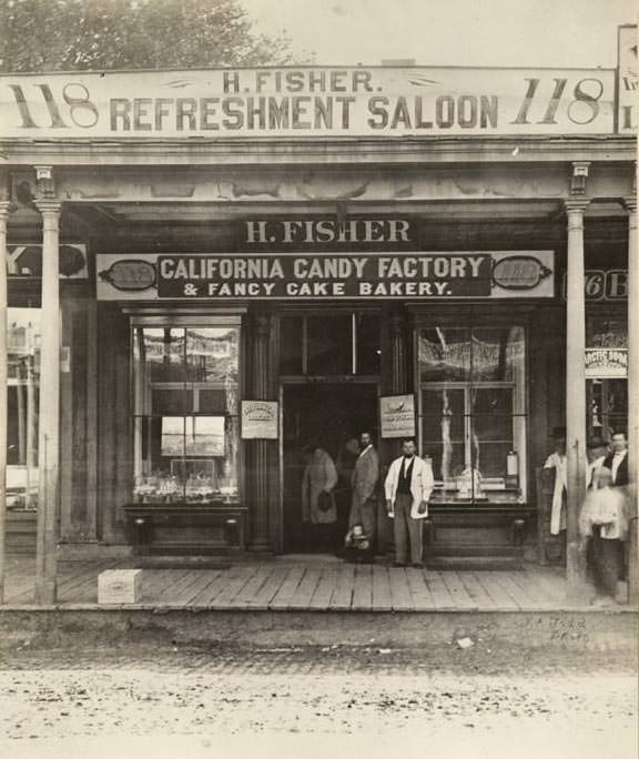
#76 The single-story Henry Fisher Refreshment Saloon and California Candy Factory and Fancy Cake Bakery at 118 J Street, 1869
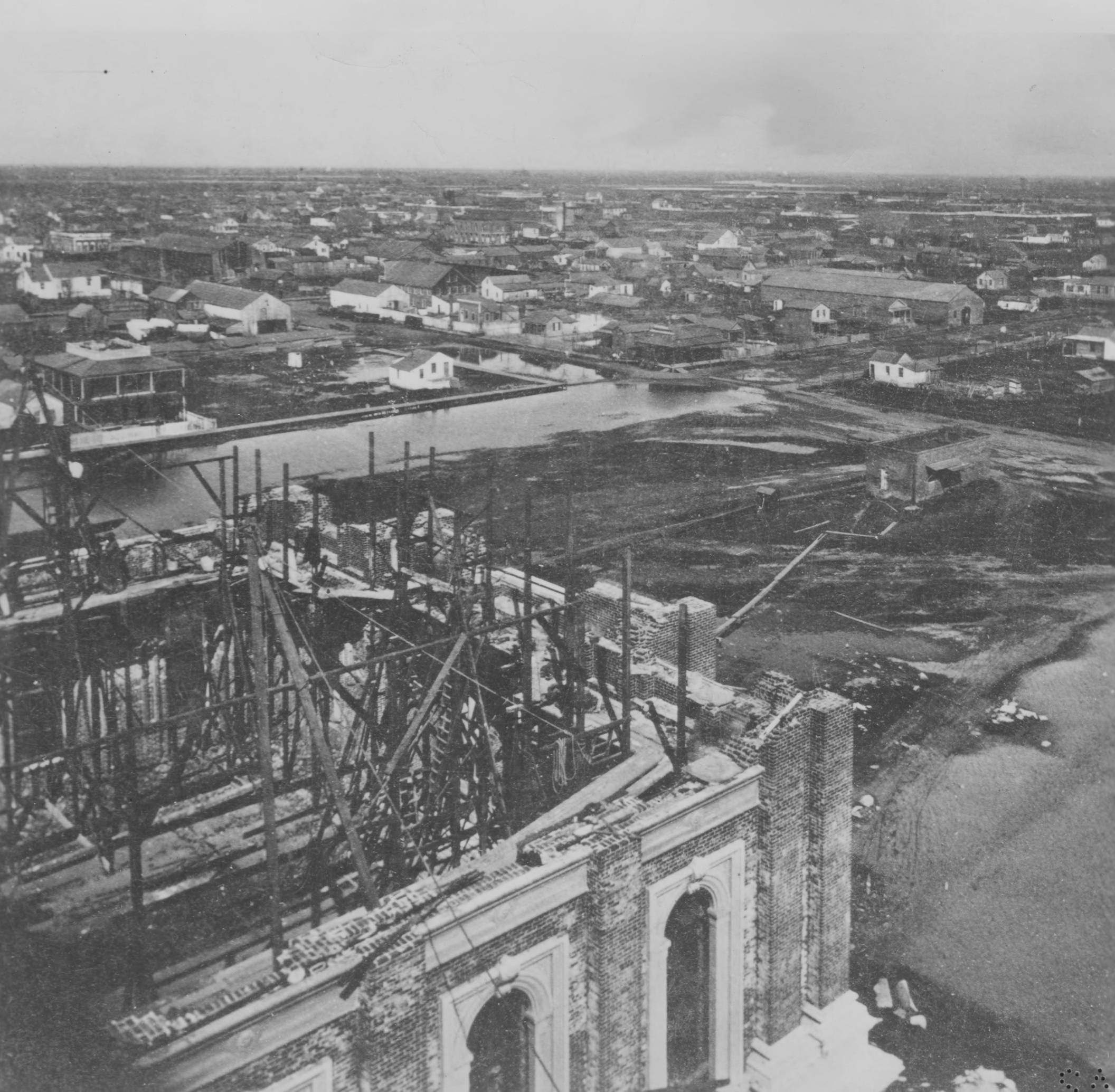
#77 Elevated view of Sacramento taken from the dome of the capitol during its construction looking northeast over the city, 1868
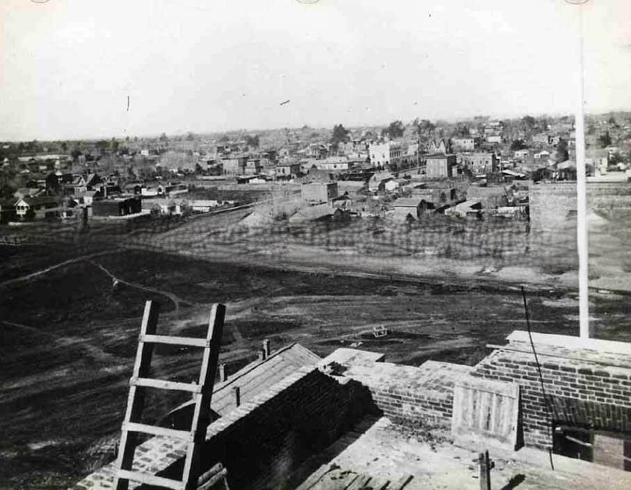
#78 1212 Sacramento City, from the new Capitol Building— east, 1868
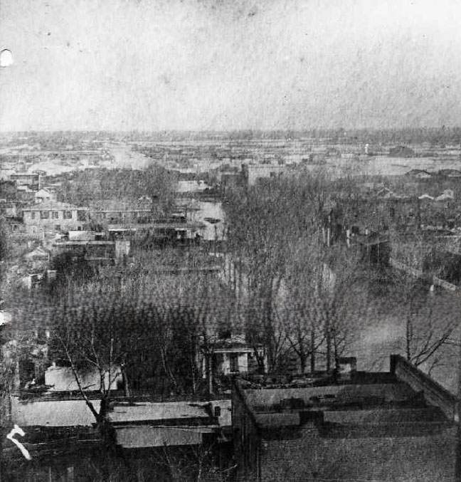
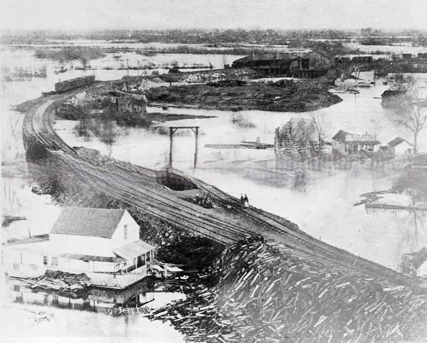
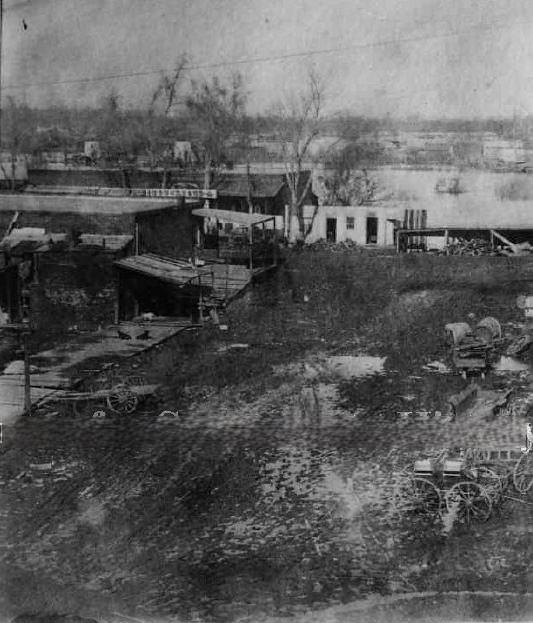
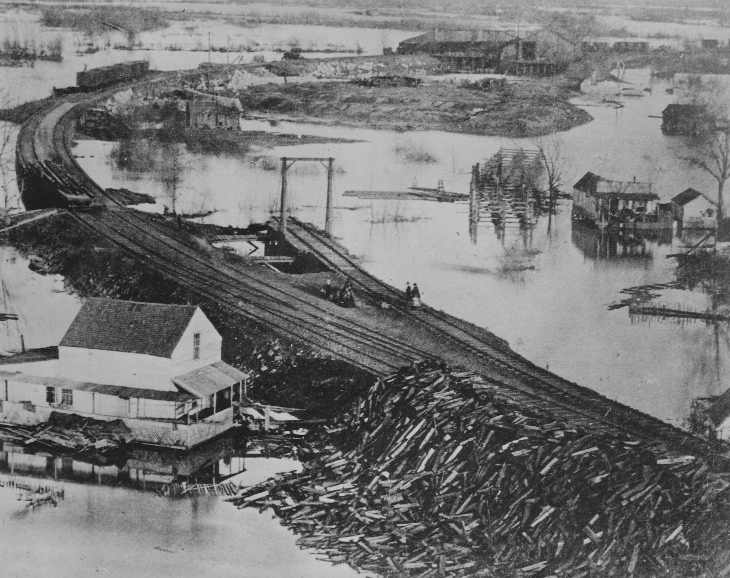
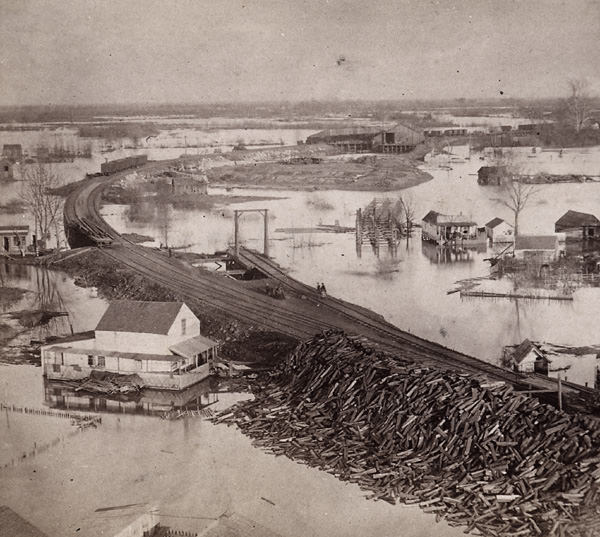
#79 An elevated view of Sacramento during the great flood of 1862. This view shows “China Slough” and the railroad construction project along I Street
#80 Cityscape of Sacramento taken from the state capitol building under construction. Typed on the back of the image “Corner of 10th & N street in the year 1868.
#81 Flood of 1862 in Sacramento. This view shows J Street from Front Street looking east.
#82 View of Sacramento from atop of the California State Capitol building under construction, 1868
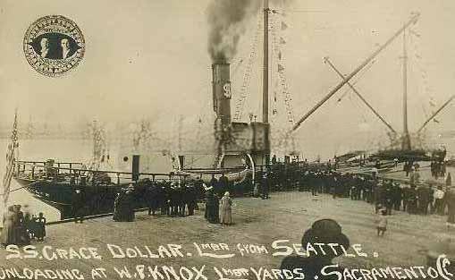
#83 The S.S. Grace Dollar unloading lumber at the W.F. Knox lumber yards in Sacramento, 1860s. Shown are approximately 50 people watching from the dock.
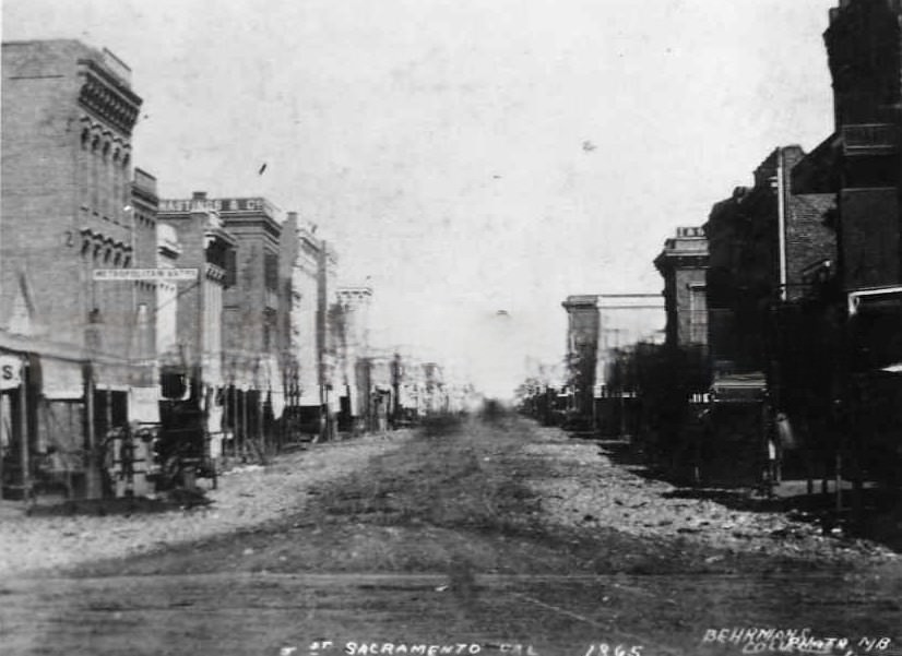
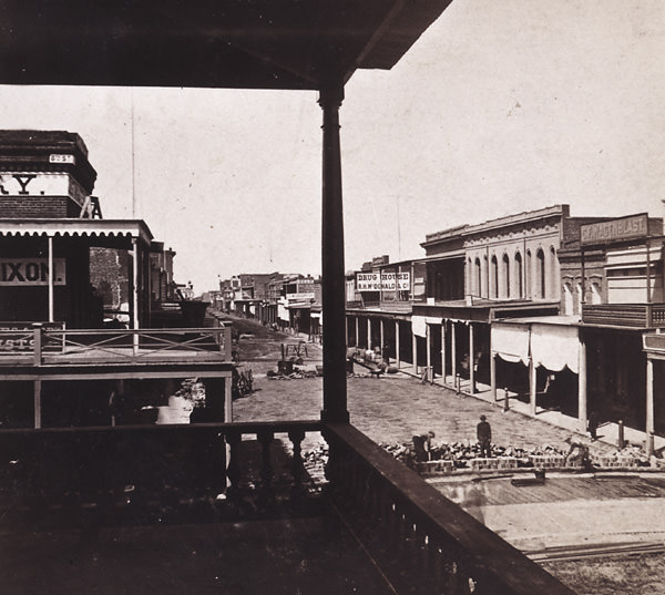
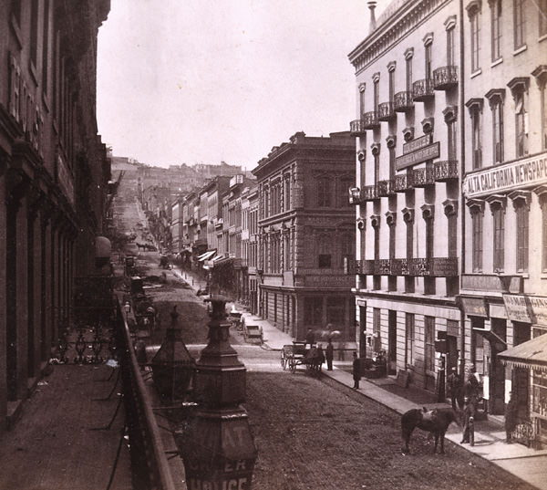
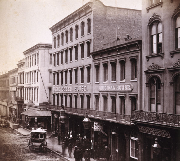
#84 A view down J Street, showing, to the right, both the Metropolitan Baths and B.F. Hastings and Company, 1868
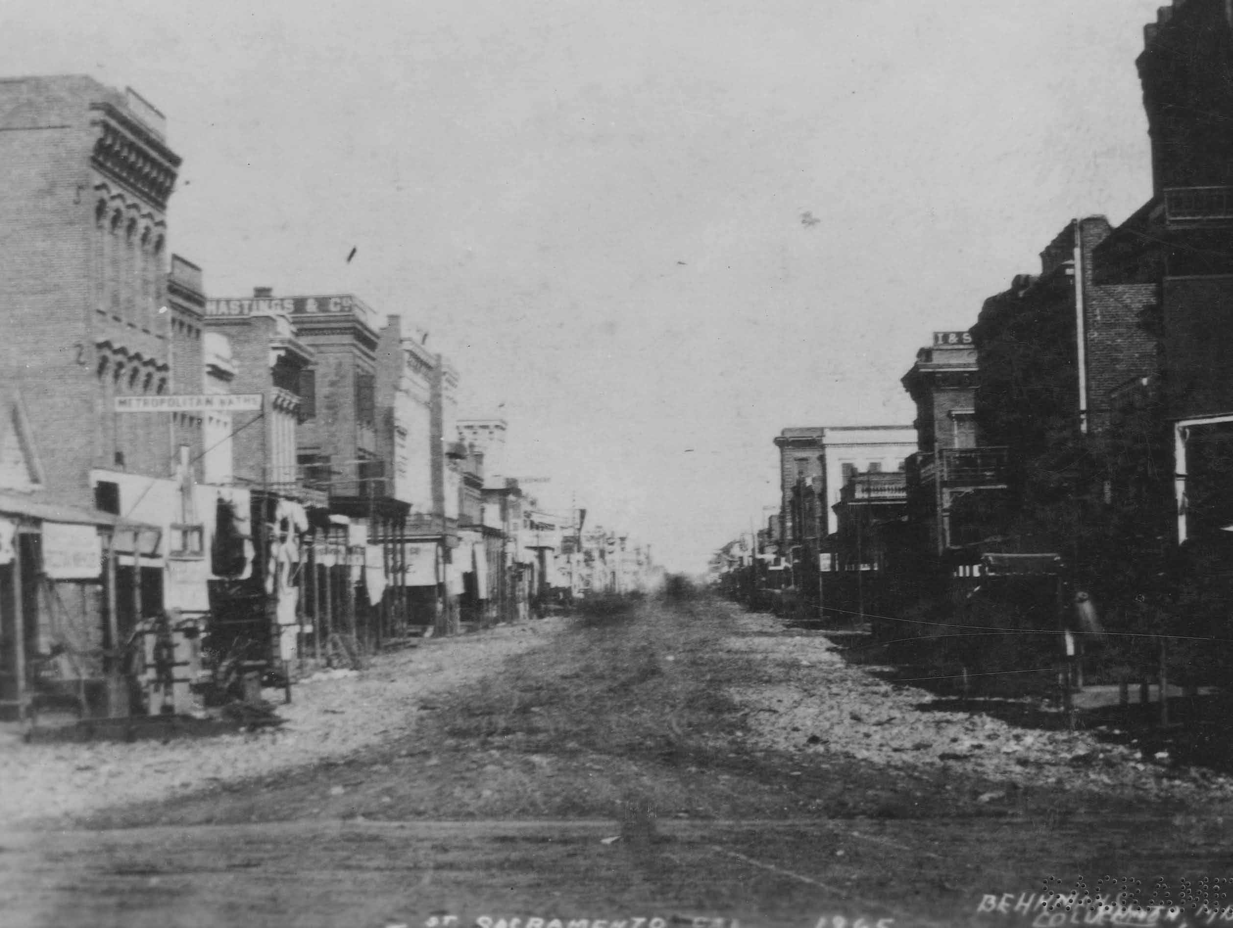
Hastings was a long standing bank in Sacramento and held distinction as the western terminus of the Pony Express which ran from 1860 to 1861. Hastings operated until November of 1871, when it failed. The Metropolitan was one of many bath houses in Sacramento. A much earlier Capital City bath house was the Eureka, which sat on Second Street, between I and J Streets.
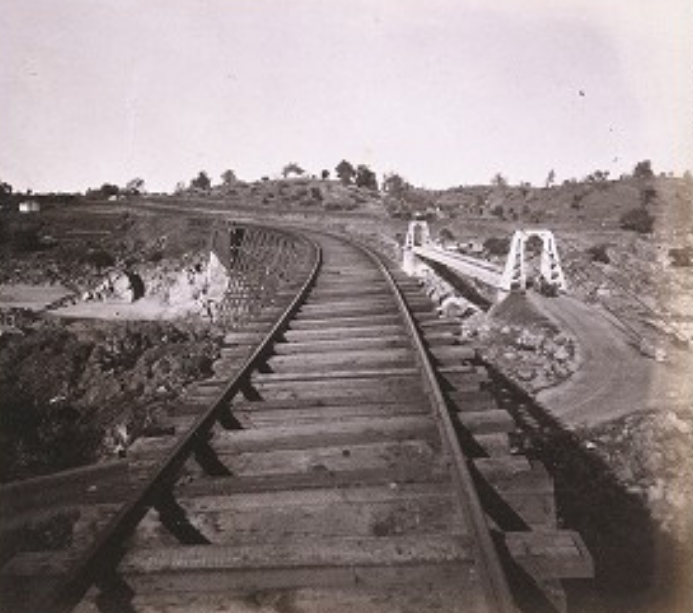
#85 Trestle and Crossing of the American River near Sacramento-5145 feet long. 866, 1865
#86 View of the Central Pacific depot at the foot of J Street Sacramento, 1869.
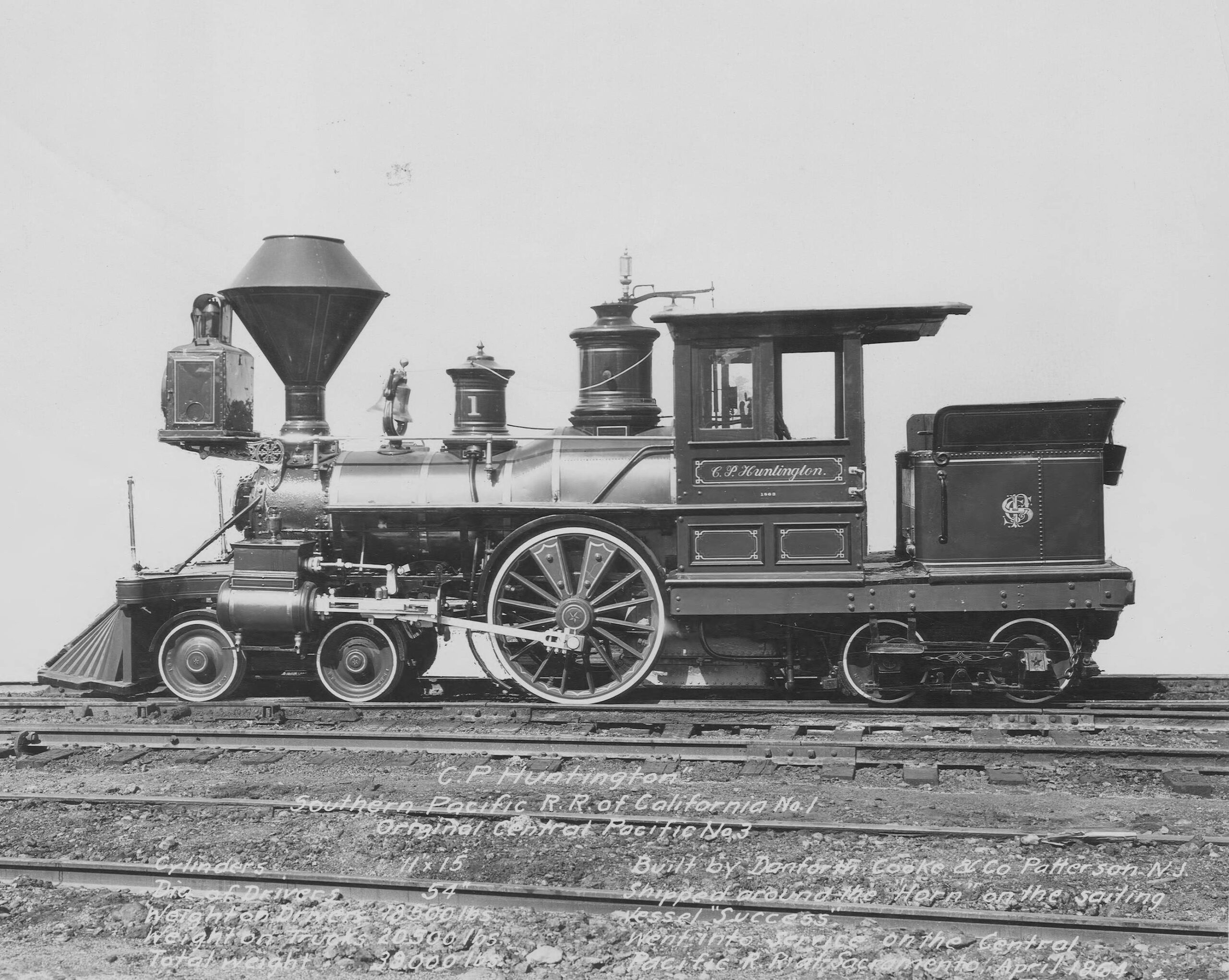
#87 Named after Collis P. Huntington was the “C.P. Huntington” locomotive, 1864
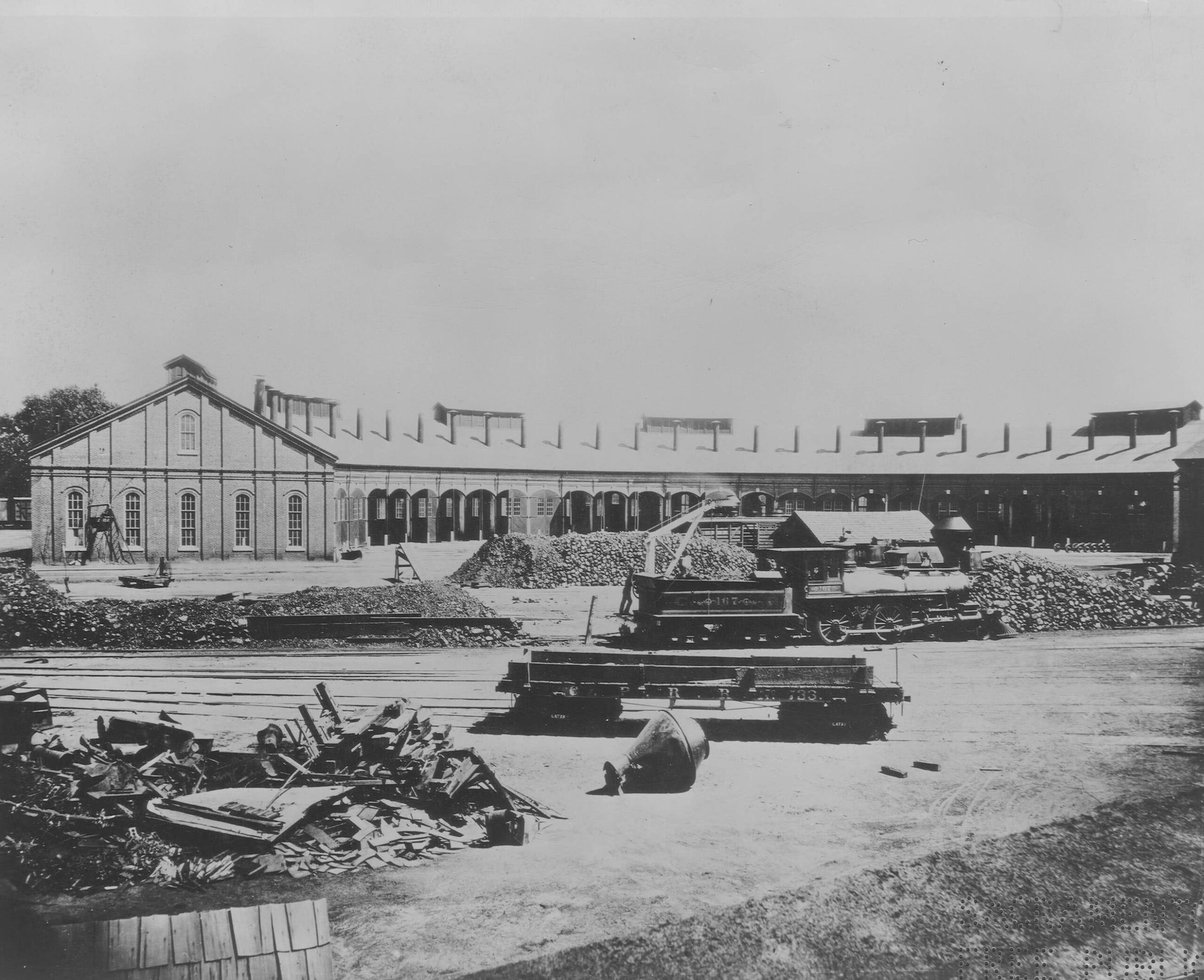
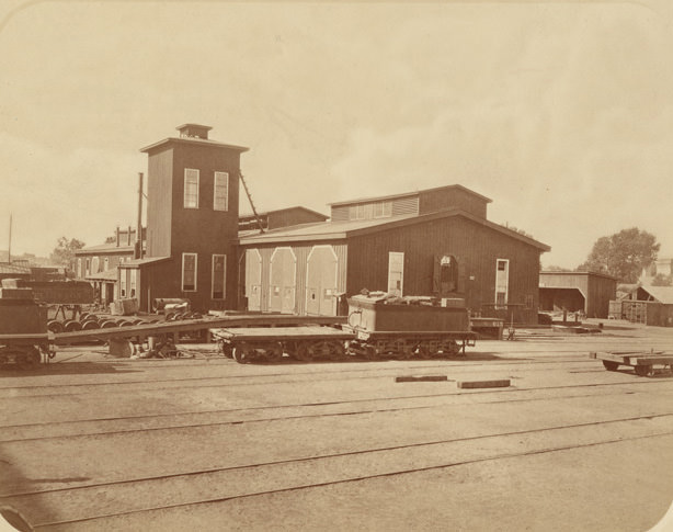
#88 Central Pacific Railroad Roundhouse, 1868
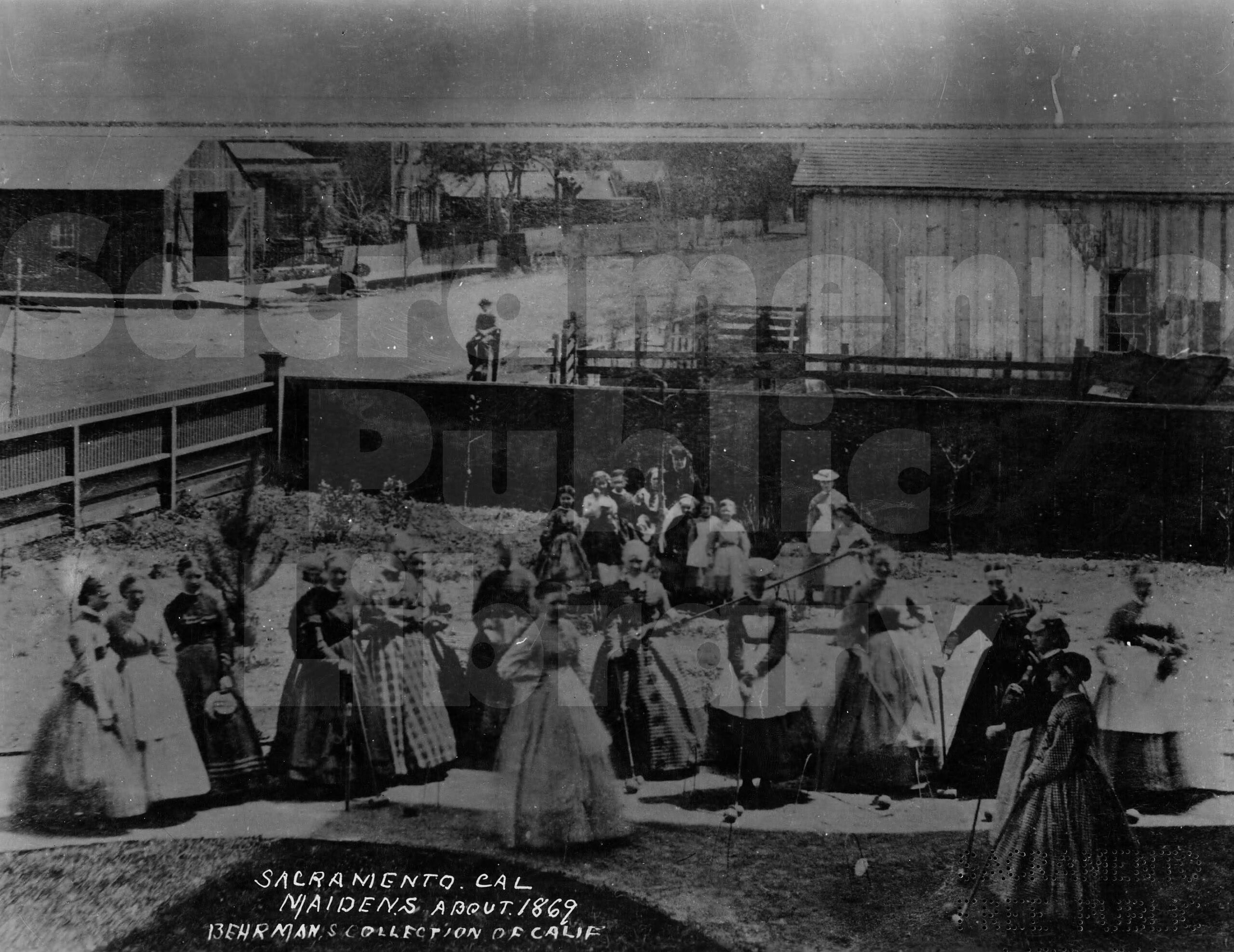
#89 Group of young Sacramento women playing croquet, 1867.
#90 At the foot of Front & Jay street, looking East, in 1865.
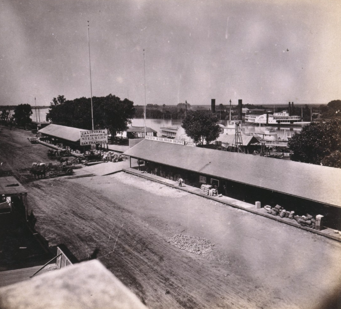
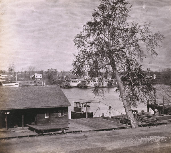
#91 Sacramento River and Levee, from Front street, Sacramento City, 1860
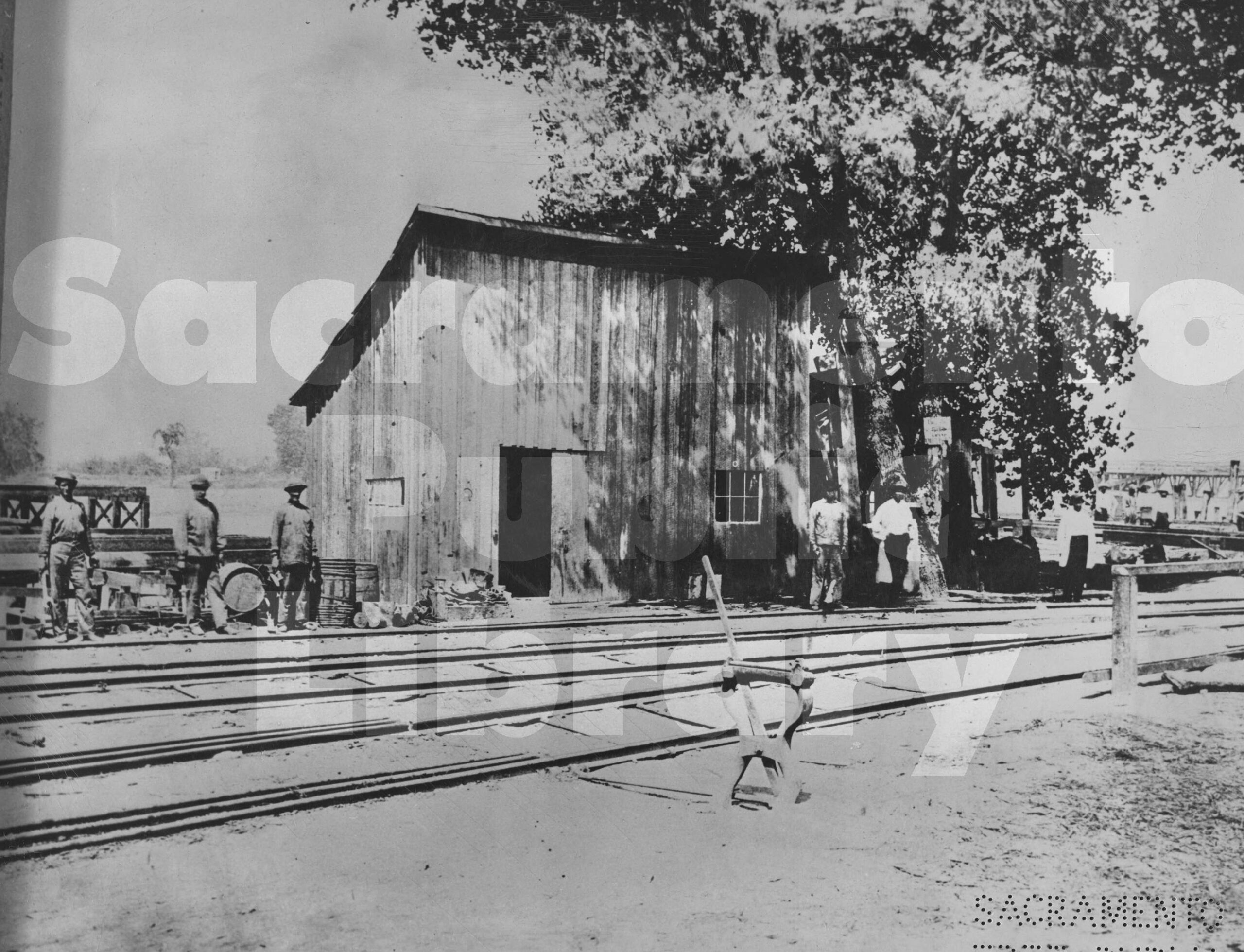
#92 First machine shop CPRR 6th & D Sts Sac 1864
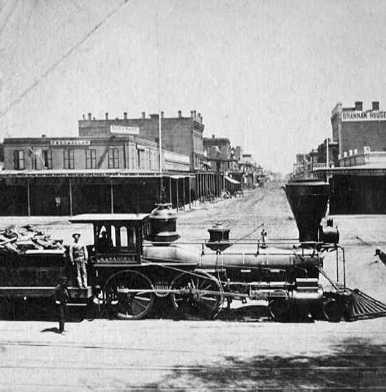
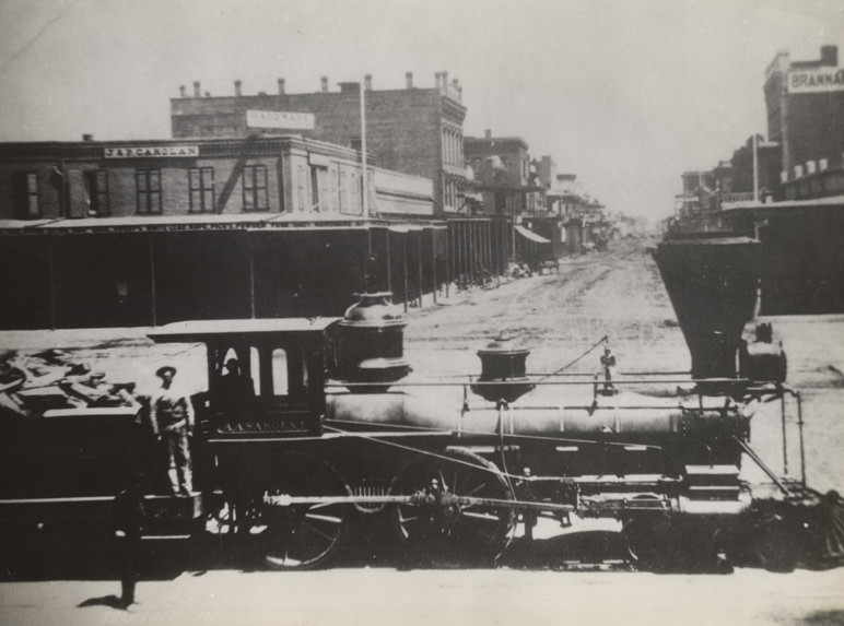
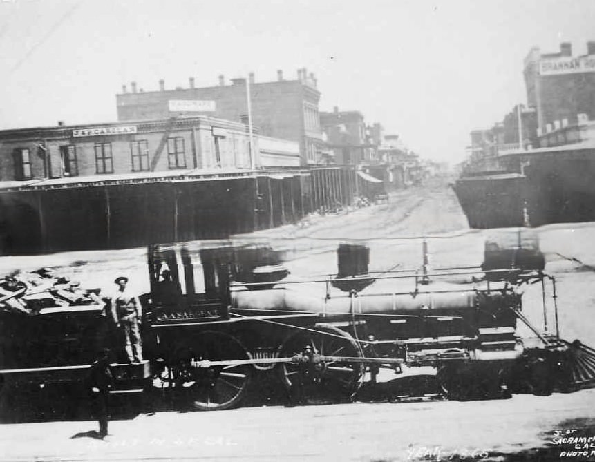
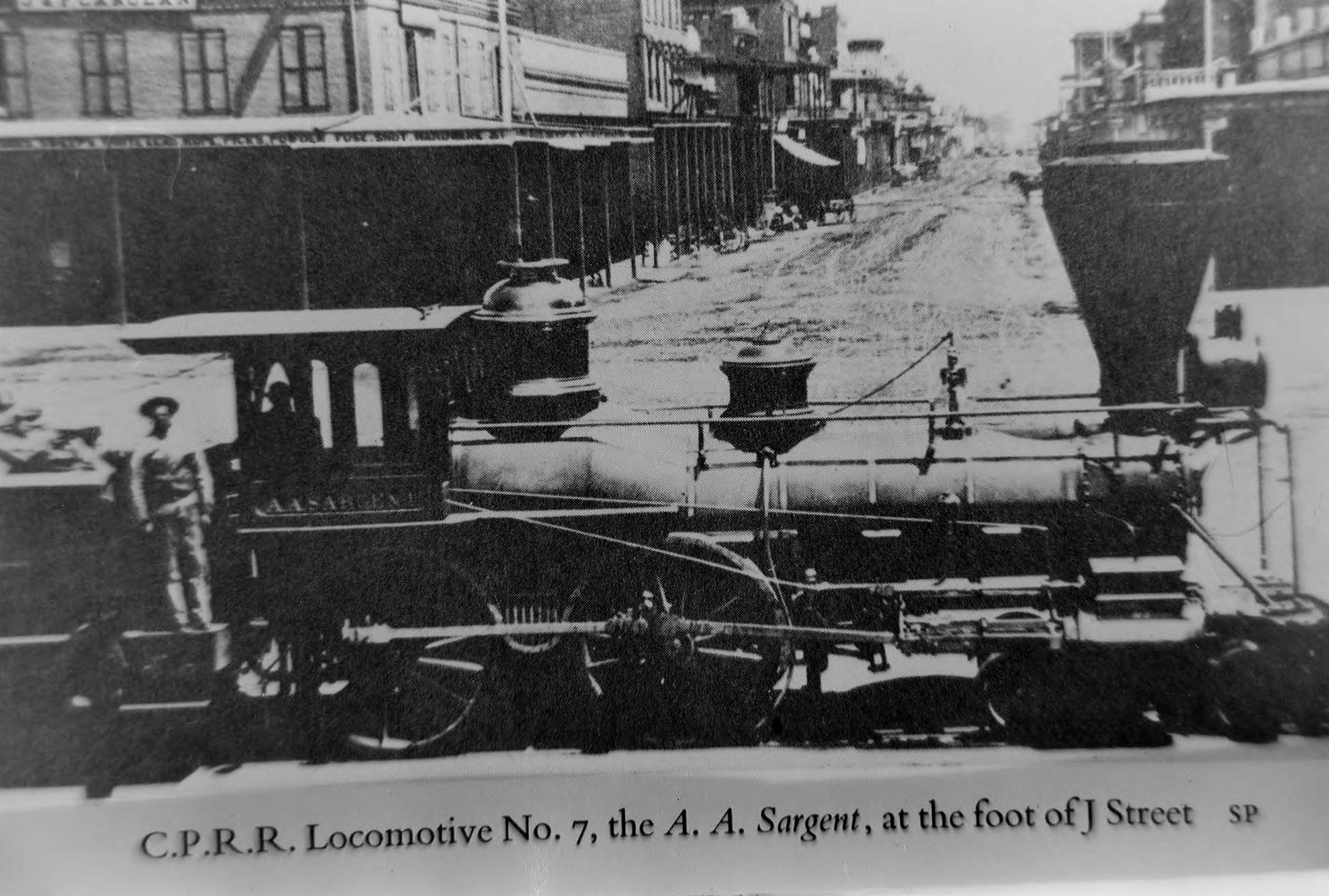
#93 Central Pacific engine, A.A. Sargent, at J and Front Streets, 1865
#94 Front & L street looking North in 1865
#95 1862 Sacramento flood
#96 A rainy day in 1868 is viewed from on high upon the unfinished dome of the California State Capitol building. N Street and 12th Street intersect in the upper portion of the photograph.
#97 California State Capitol under construction, 1868
#98 The Levee at Sacramento, from the deck of the steamer Capital, 1866
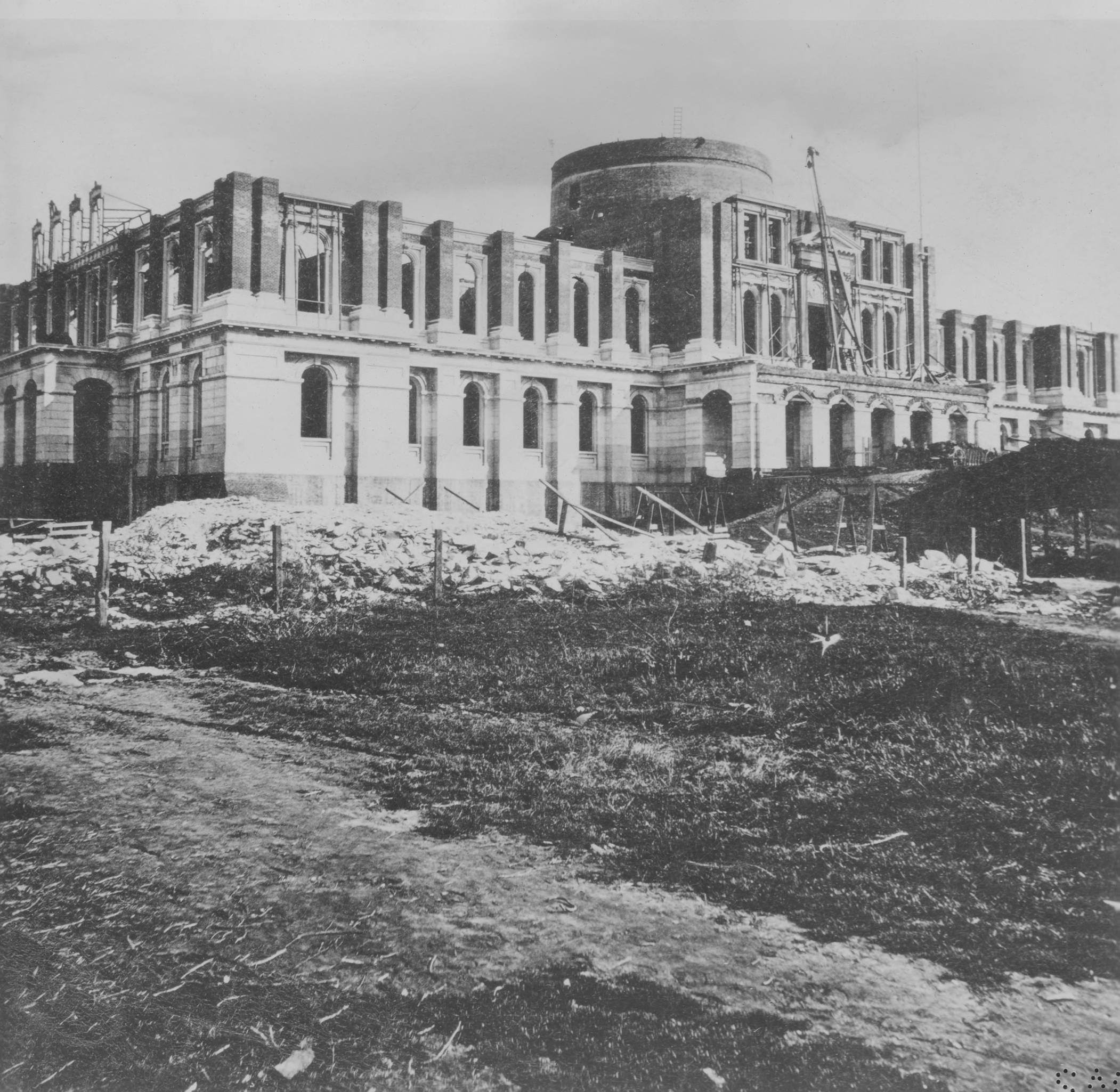
#99 Exterior view of the state capitol during its construction. View taken from the southeast side of the building, 1869
#100 Last Act, 690 Miles from Sacramento, 1869
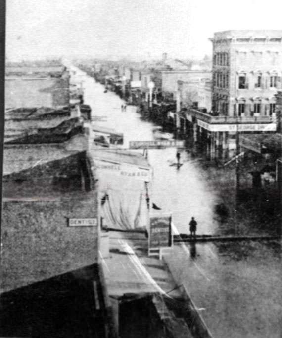
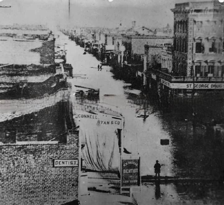
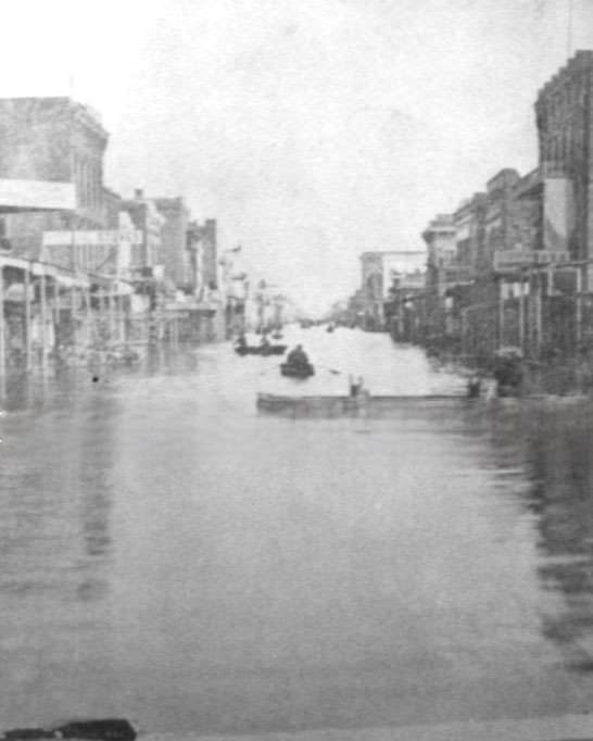
#101 Looking east, of a deluged J Street near Fourth Street captures the scale of the flood of December 1861.
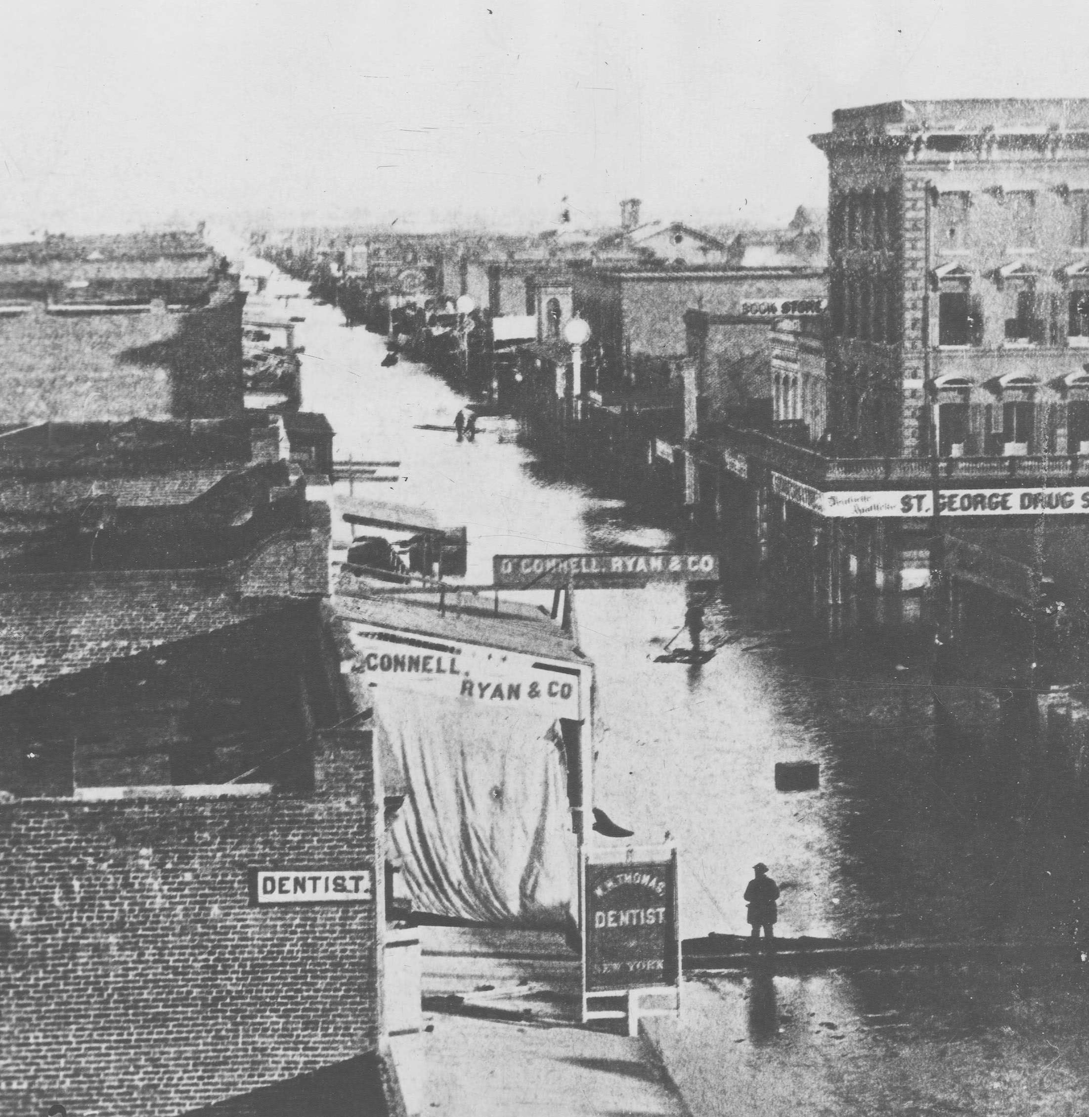
In the foreground is a sign for dentist W.H. Thomas, and the dry goods store of Patrick O'Connell and Jonathon Ryan. Just across the street is the St. George Drugstore. The winter of 1861-1862 saw two different levee breaks for Sacramento, one at 31st Street on Dec. 9 and one at Rabel's tannery on the American River a month later. In 1863, the city's business district was raised by 18 feet to avoid further flooding.
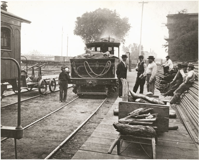
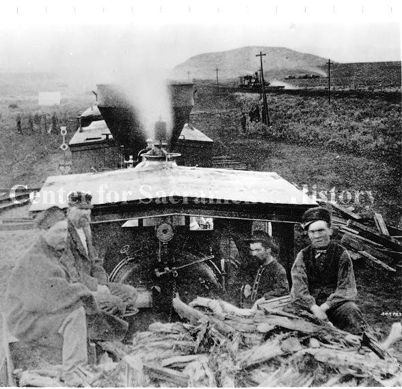
#102 Central Pacific Railroad Locomotive “A.A. Sargent”, 1865
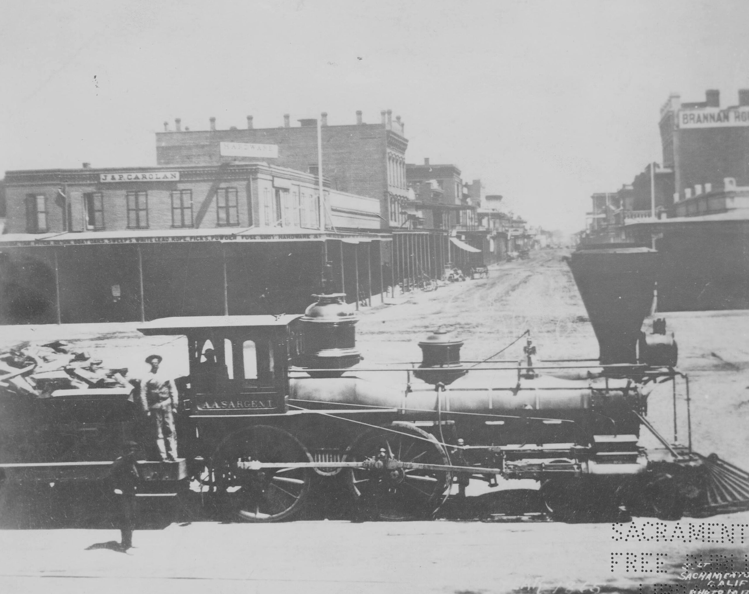
A. A. Sargent,” also known as Number Seven, at the foot of J Street, facing east from Front Street. The locomotive’s namesake, Aaron Augustus Sargent, served as U.S. Senator from California from 1873 to 1879. In the foreground, two rail workers look toward the camera while the locomotive’s tender is packed with wood.
#103 Central Pacific Railroad and China Slough. 1868
#104 Original Central Pacific Depot, 1863
#105 Central Pacific Railroad Locomotive “A.A. Sargent”, 1865
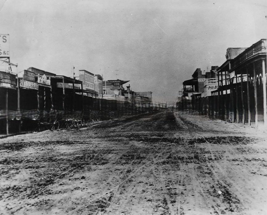
#106 L Street circa 1865 is depicted with unpaved streets and wooden sidewalks, 1865
#107 Second Street Between J and K Streets, 1863
#108 Flood 1861-1862; K Street near Front Street.
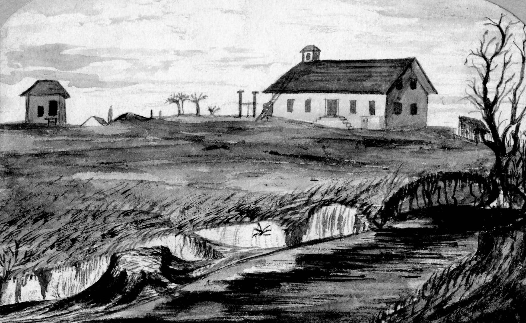
#109 A sketch of Sutter’s Fort as it appeared in 1862, fourteen years after its abandonment by John Sutter.
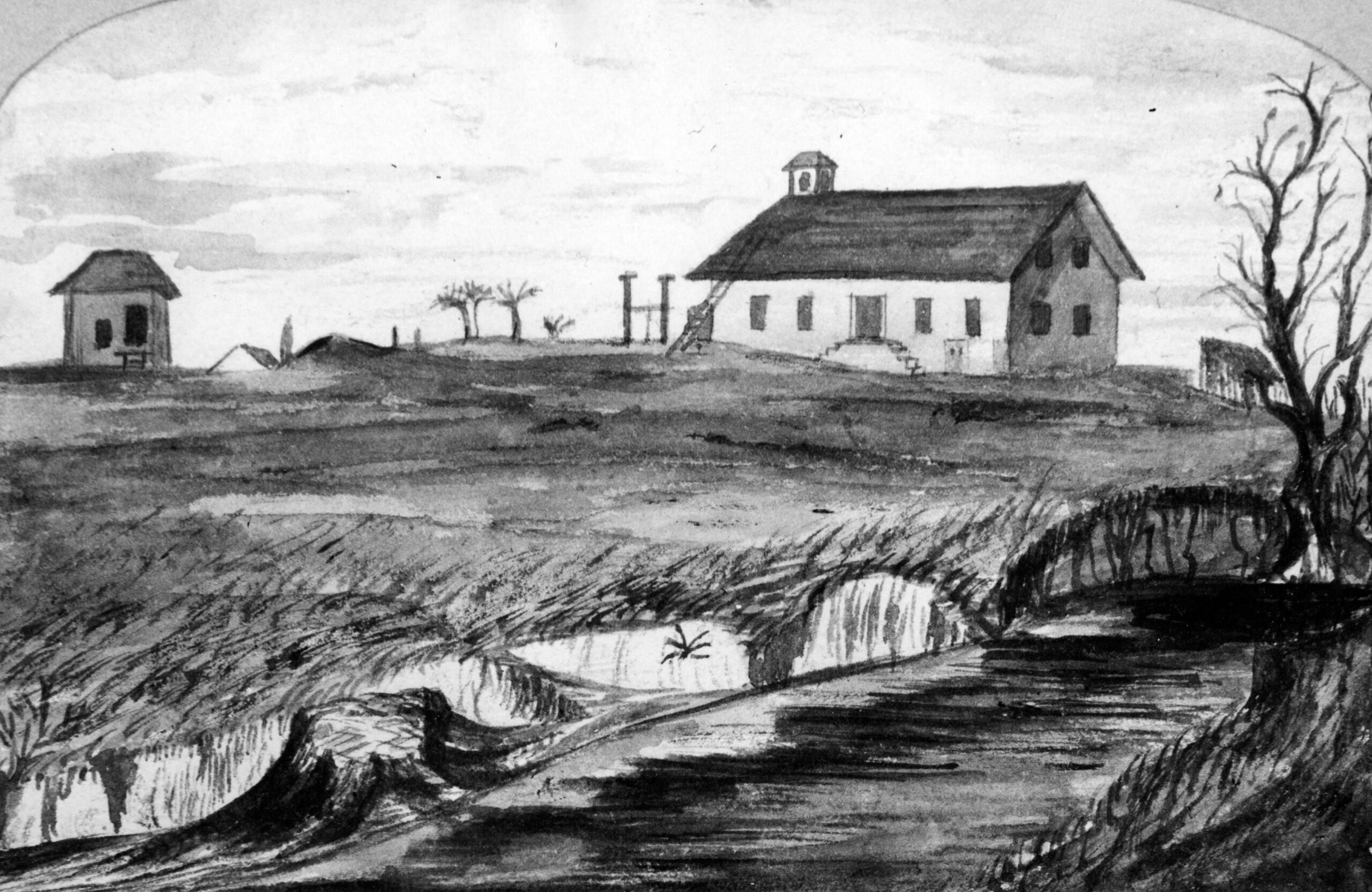
The land formerly belonging to Sutter was contested in the years preceding this image with the City of Sacramento seeking to claim the former Mexican land grant. Decades before the restoration spearheaded by the Sons of the Golden West, in this image the fort lacks walls and consists of a single central building flanked by two smaller structures and surrounded by vegetation.



OK, now we need some photographers to recreate these photos.
A friend of mine has an Instagram account where she does stuff like this – check out https://www.instagram.com/norcalthenandnow/