

By 1970, The Bronx was in serious trouble. What had once been a thriving urban borough of New York City was now defined by poverty, neglect, and a steady collapse of public services. Photographer Camilo Jose Vergara walked these streets and captured what many New Yorkers in other boroughs never saw — or chose not to see. His images are a raw, unfiltered record of a borough under enormous strain.
The South Bronx was the hardest hit. Neighborhoods like Hunts Point, Mott Haven, Morrisania, and Melrose were dealing with crumbling housing stock, high unemployment, and rising crime. Buildings were abandoned at a rapid pace as landlords walked away from properties they could no longer profit from. Some set fires to collect insurance money — a practice so common it became one of the defining features of the era.
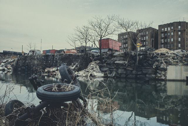
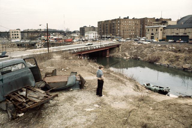
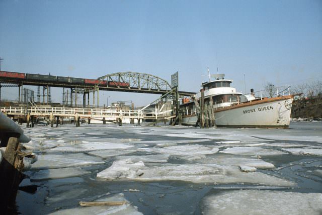
The Bronx River ran through neighborhoods that had seen better days. The elevated subway lines — the #5 and #6 trains — rumbled overhead past blocks that were increasingly empty. Public transit was still the backbone of daily life for residents, even as the surroundings deteriorated. For many people living there, the subway was the lifeline connecting them to the rest of the city.
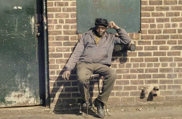
The Cross Bronx Expressway, built in the 1950s under Robert Moses, had torn through stable neighborhoods and displaced tens of thousands of residents. By 1970, the damage it caused was fully visible. Entire communities had been uprooted to make way for the highway, and the blocks left standing on either side showed the scars. Middle-class families had largely fled, leaving behind those with fewer options.
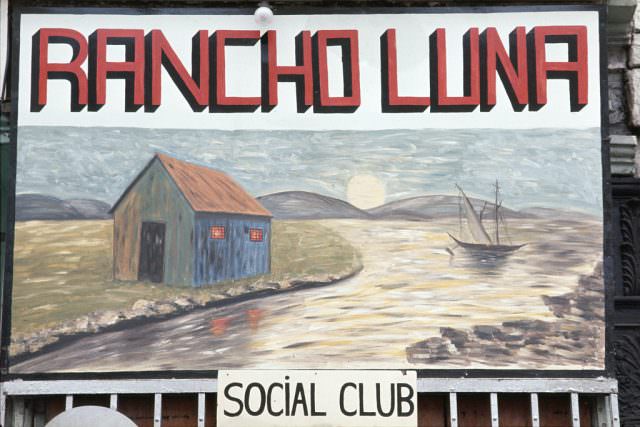
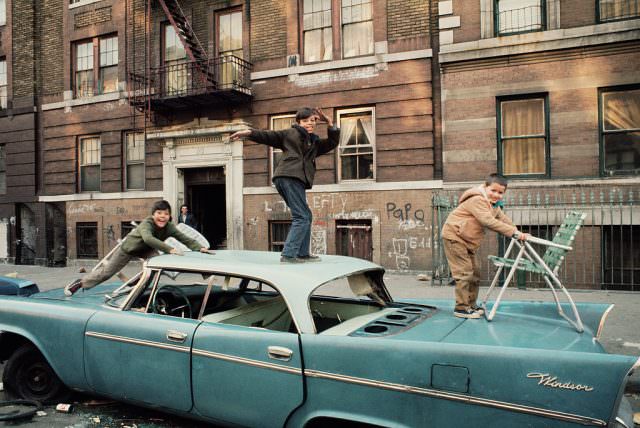
Despite the decay, everyday life continued. Social clubs, bodegas, restaurants, and botanicas were still open. People still gathered on stoops and sidewalks. The street-level culture of the South Bronx remained alive even as the physical environment crumbled around it. Vergara’s camera caught both — the abandonment and the resilience happening side by side.
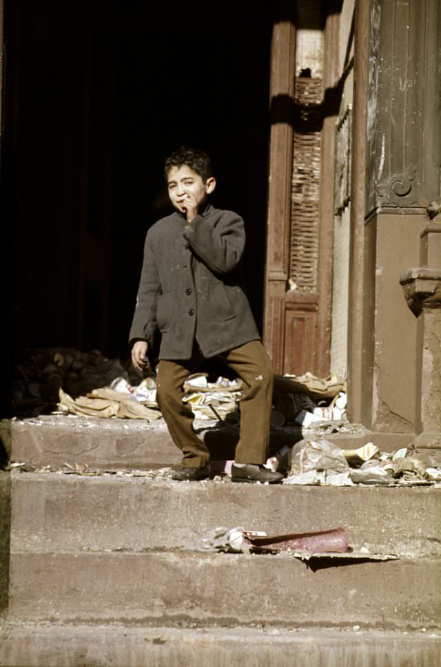
Hunts Point was one of the most densely affected areas. Abandoned buildings became common sights, their entrances dark and open, windows broken or boarded. These structures were sometimes occupied by squatters or used for illegal activity. City services were stretched thin, and the response from local government was widely seen as inadequate.
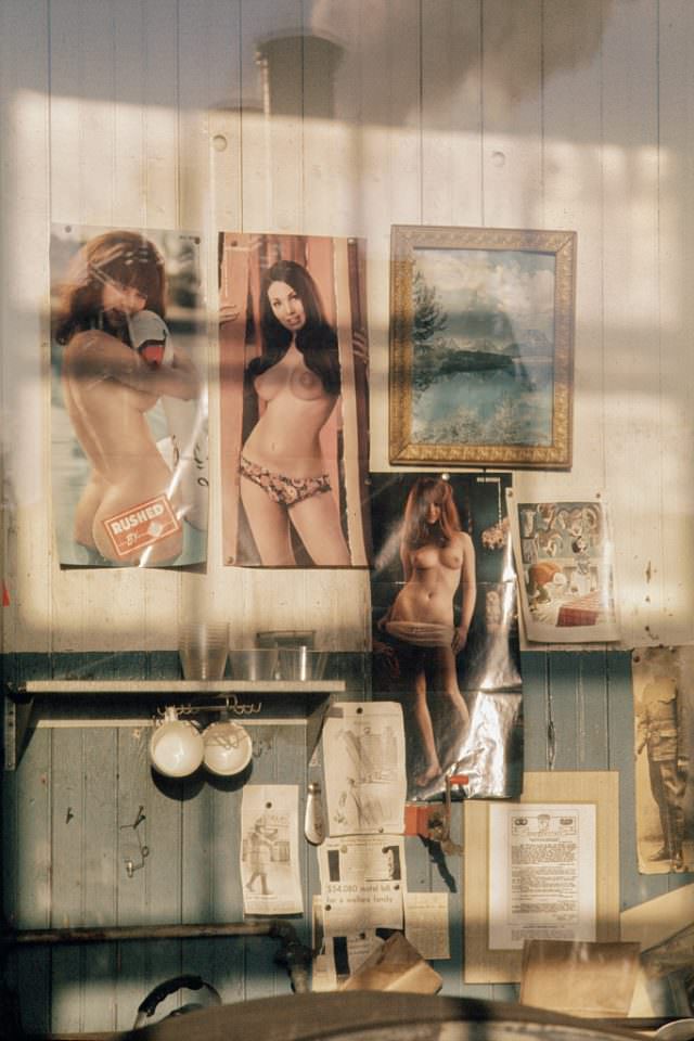
Mott Haven sat at the southern tip of the Bronx, directly above Harlem. It was one of the poorest zip codes in the country. The streets told the story clearly — worn storefronts, cracked sidewalks, and a near-total absence of investment. Yet people raised families here. Children played in the streets. Life went on.
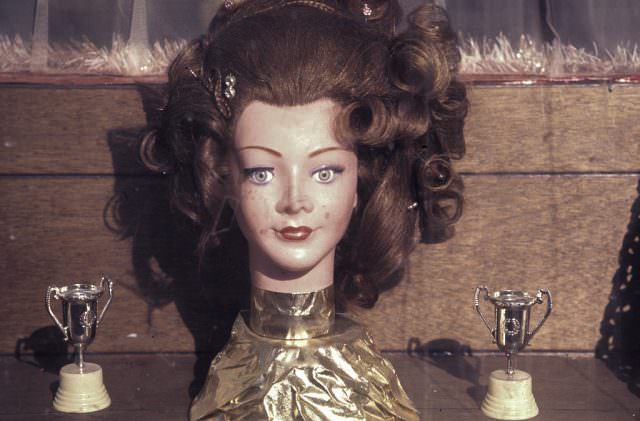
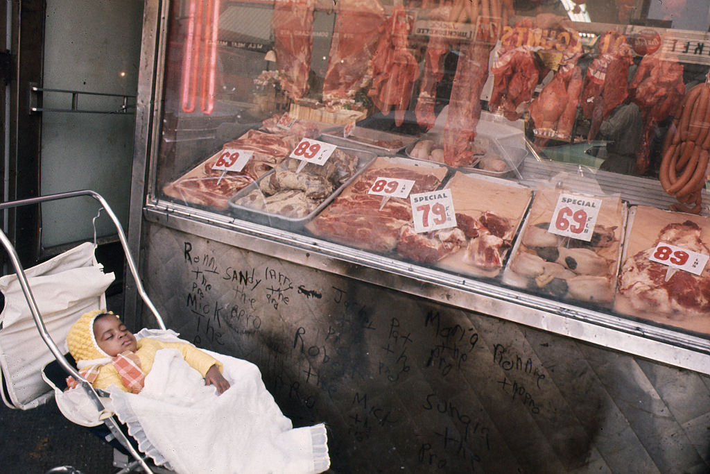
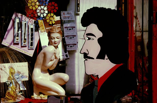
Local businesses hung on as best they could. Store windows were dressed with whatever goods could draw customers in. The commercial strips along major avenues still functioned, though vacancy rates were climbing. Small shop owners — many of them recent immigrants or long-time residents — kept their doors open through a period when foot traffic and purchasing power were both falling.
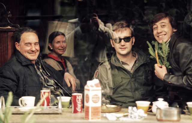
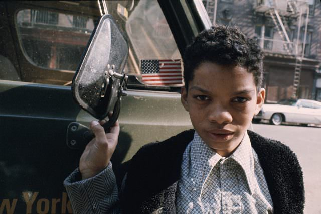
Morrisania was another South Bronx neighborhood hit hard by depopulation and arson. Children growing up there in 1970 did so in the middle of a housing crisis. Schools were overcrowded and underfunded. The city’s fiscal problems, which would become a full-blown crisis by 1975, were already making themselves felt in neighborhoods like this years earlier.
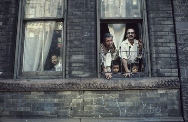
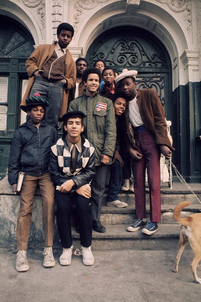
The Melrose section showed the same pattern repeated across the South Bronx — blocks with functioning homes next to blocks that had already been gutted. The uneven pace of abandonment gave the neighborhood a patchwork appearance. Some streets were intact; others looked like a war zone. The contrast was stark enough that journalists and politicians from across the country came to document it.
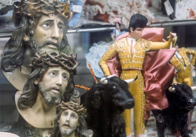
The growing Puerto Rican and African American communities of the Bronx brought with them their own cultures and traditions. Botanicas — shops selling religious and spiritual goods rooted in Afro-Caribbean traditions — were visible parts of the streetscape. These businesses served communities that had arrived in the Bronx during the postwar migration waves and had stayed even as conditions worsened.
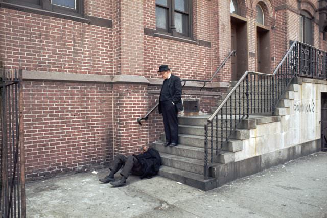
The Catholic Church remained a strong presence in many Bronx neighborhoods in 1970. Priests and religious workers were visible on the streets, often providing direct support to people who had nowhere else to turn. Homeless men were a common sight, and the church filled some of the gap left by inadequate city services. Faith institutions were, for many residents, the most reliable safety net available.
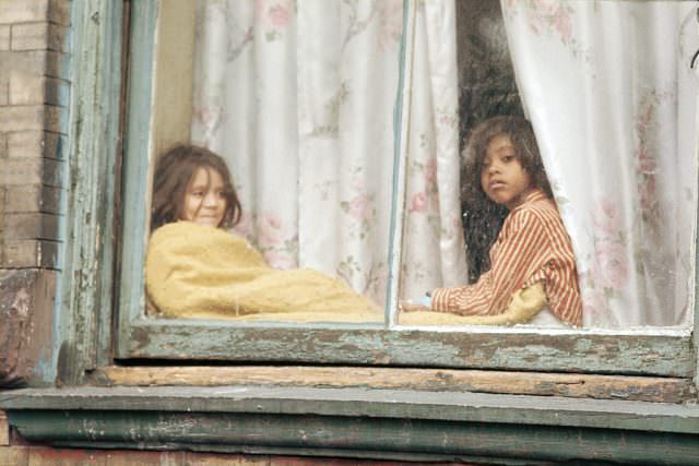
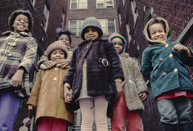
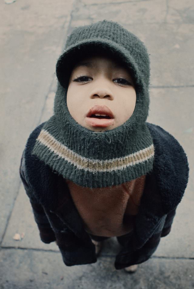
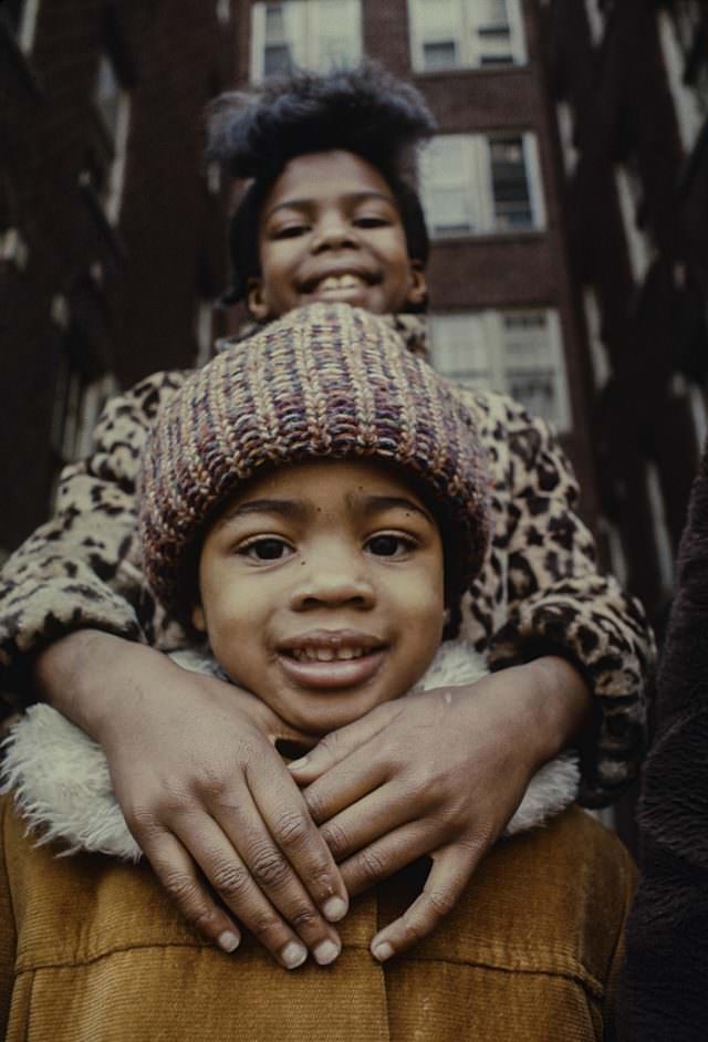
Vergara photographed children and young people throughout the borough. Girls on sidewalks, boys staring up at the camera, kids navigating a landscape that was visibly falling apart. These images are a reminder that the crisis of the South Bronx in 1970 was not abstract — it was the backdrop of real childhoods.
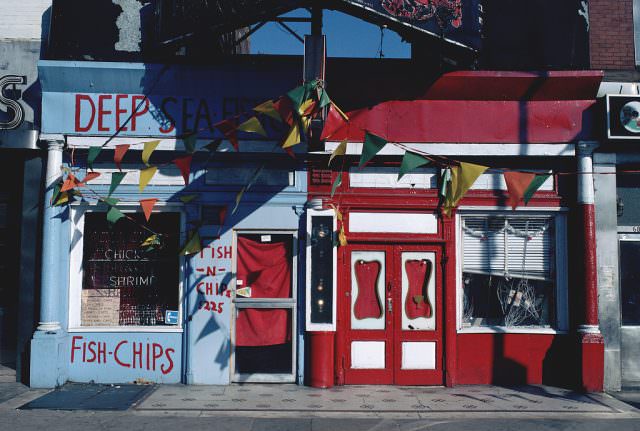
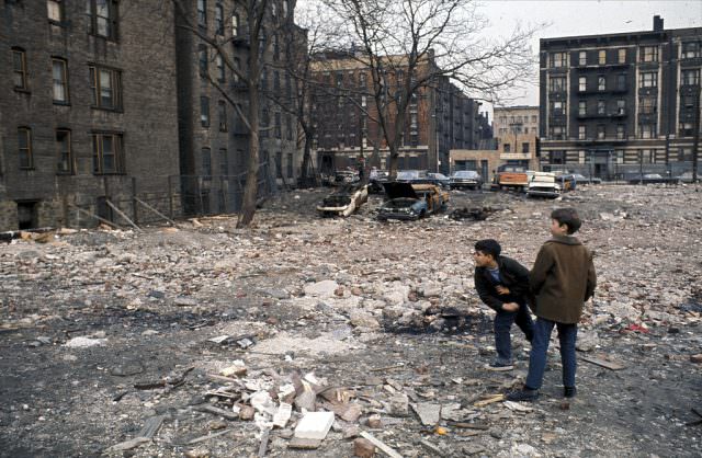
The intersections of the South Bronx — Cauldwell and Westchester, Eagle and Westchester, Hoe and 172nd — appear repeatedly in Vergara’s work. These were not just street corners. They were gathering points, bus stops, the edges of territories. The specificity of the locations matters. It grounds the images in real geography and makes clear that this was a precise, documented place, not a vague symbol of urban blight.
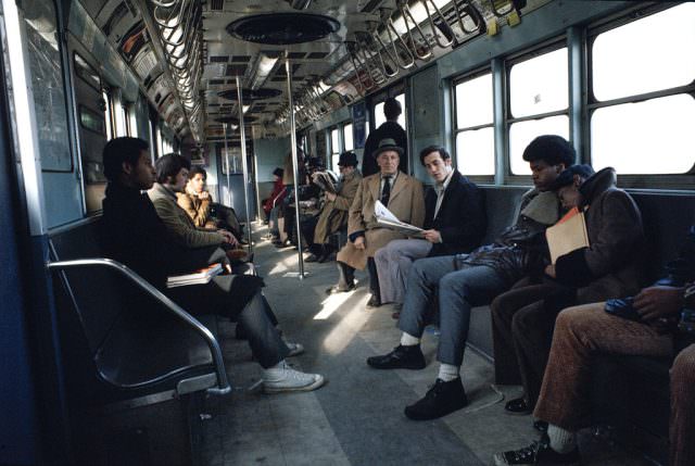
The #2 IRT subway line cut through the Bronx just as it always had, carrying workers downtown and back. The subway system itself was in decline by 1970 — graffiti was beginning to appear on cars, maintenance was being deferred, and crime on the trains was increasing. But the trains kept running, and for residents without cars, they remained essential.
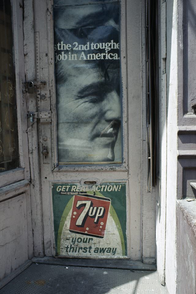
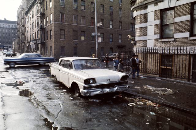
Mayor John Lindsay’s name and face appeared on posters around the city in 1970. He was in his second term and facing enormous pressure over housing, crime, and labor disputes. Lindsay was not a popular figure in the outer boroughs, and in the Bronx, where city services felt most absent, his image on a wall carried a complicated meaning. The gap between city hall and street level had never felt wider.
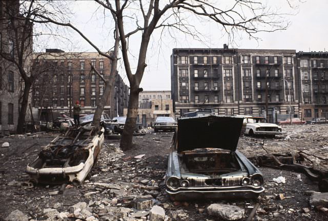
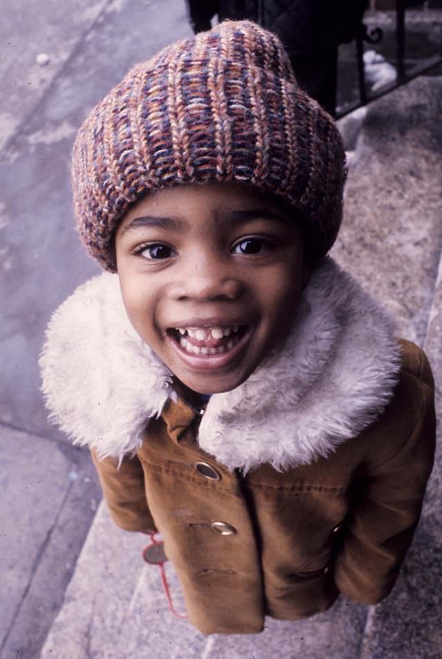
Writer P.J. O’Rourke once described the South Bronx as a place where dedicated New Yorkers from other boroughs came to experience life in the wilderness. That description captured how alien the South Bronx felt to many outsiders, even those living just a borough away. The images from 1970 show why. Bruckner Boulevard, Longwood Avenue, 178th Street — these were places most New Yorkers never went, and rarely thought about.
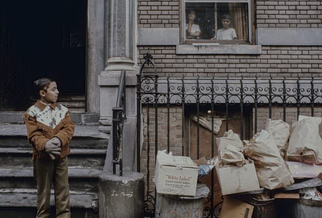
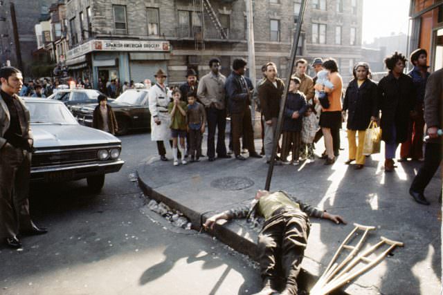
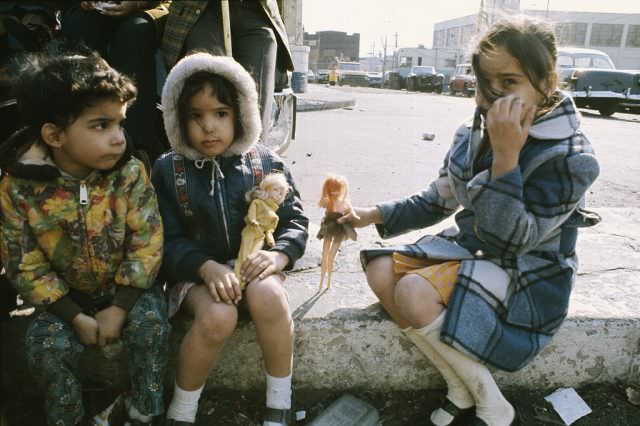
Longwood Avenue in the Hunts Point area was surrounded by industrial land, warehouses, and deteriorating tenements. The address 1148 Longwood Ave was just one of thousands of buildings in the Bronx caught between functional use and complete abandonment. Some blocks had already crossed the line. Others were holding on by a thread.
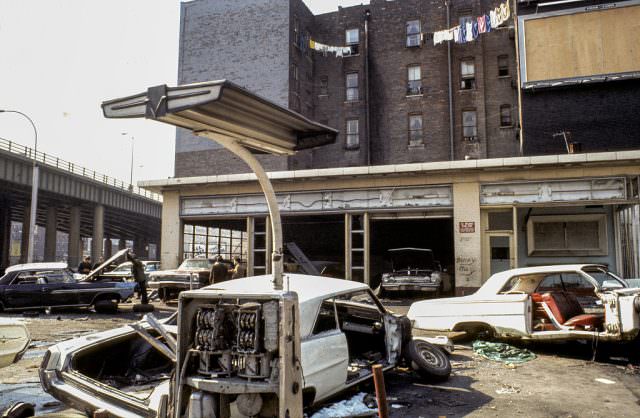
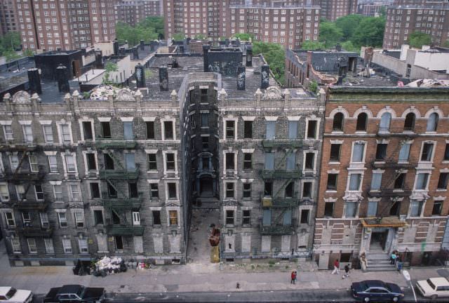
Bruckner Boulevard ran along the eastern edge of the South Bronx, a wide arterial road connecting the borough to the highway network. Along its length in 1970, the mix of industry and residential buildings made plain how the Bronx had always been a working-class place — built for people who labored in factories and moved goods through the city. By 1970, many of those jobs were gone, and the neighborhoods built around them were struggling to survive.
