
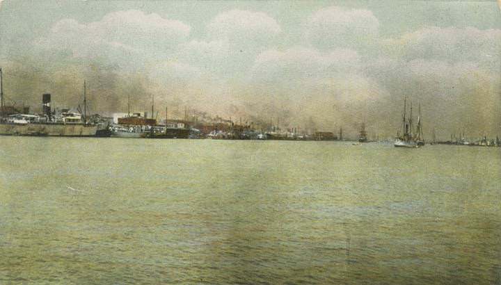
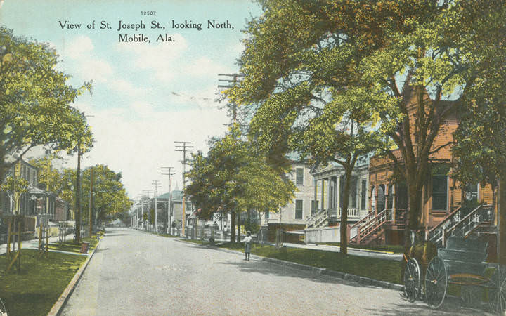
At the start of the 20th century, Mobile, Alabama was a city on the move. Its population climbed from roughly 40,000 in 1900 to about 60,000 by 1920. New industries took root, the harbor was deepened with $3 million in federal funds, and the streets buzzed with an expanding streetcar network. Mobile’s waterfront was its engine, drawing trade from across the Gulf of Mexico and beyond. But the city’s growth came with deep social tensions, sweeping political changes, and the constant threat of storms rolling in off the bay. These photographs capture that era in striking detail.
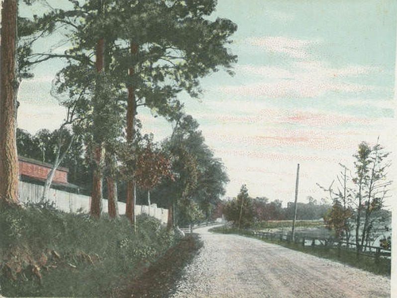
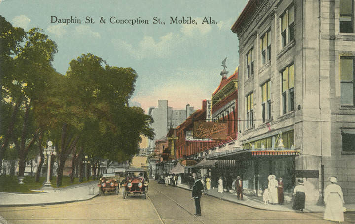
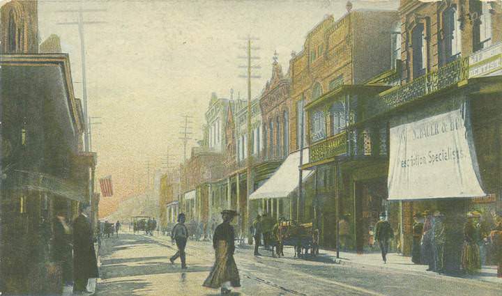
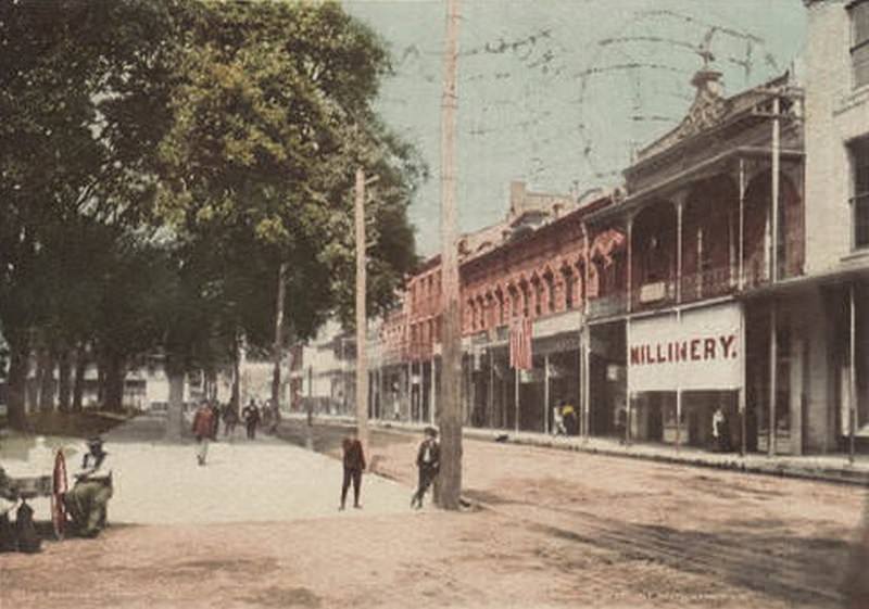
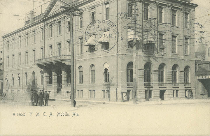
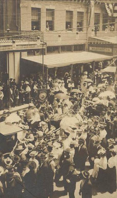
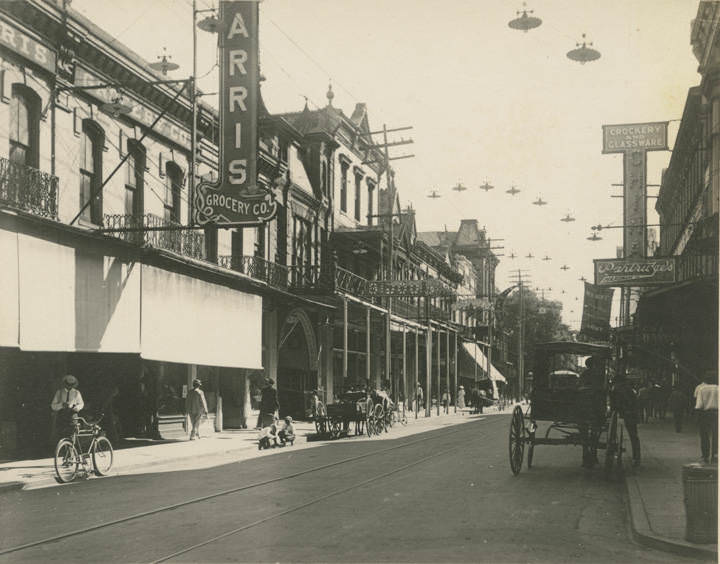
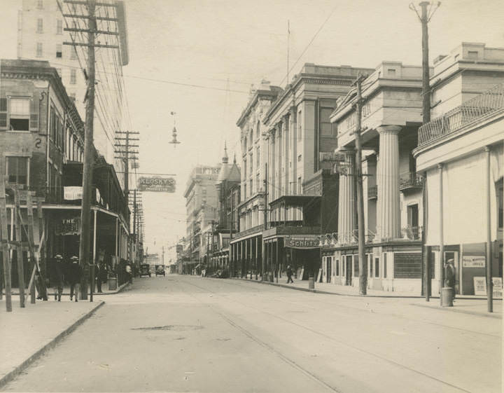
Mobile’s streets in the early 1900s ranged from busy commercial corridors to quiet residential lanes lined with live oaks. Dauphin Street served as one of the city’s main commercial arteries, and the photographs from 1904 show a streetscape alive with storefronts, pedestrians, and early electric streetcars. In 1902, city officials passed Mobile’s first segregation ordinance, which forced Black passengers to sit in separate sections of those same streetcars. The African American community responded with a two-month boycott, one of the earliest organized transit boycotts in the South. The effort ultimately failed, and legislated segregation eventually replaced the city’s existing informal racial boundaries.
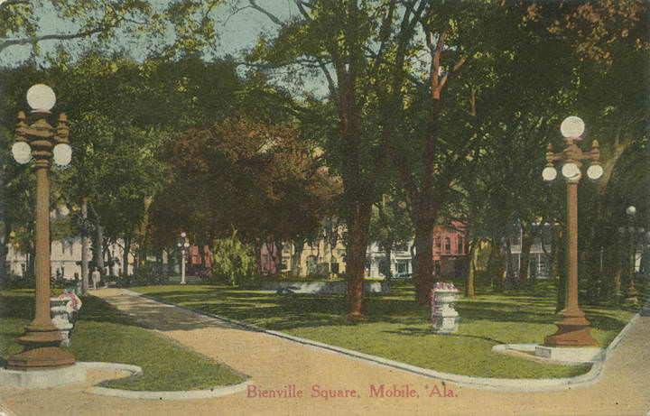
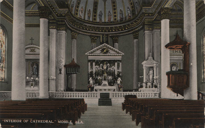
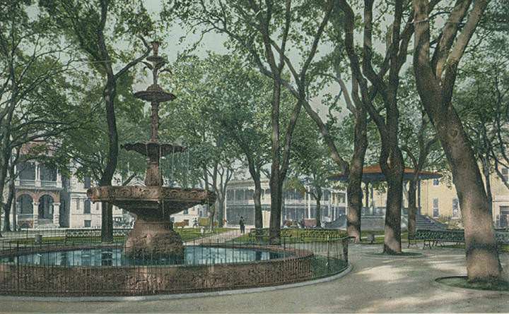
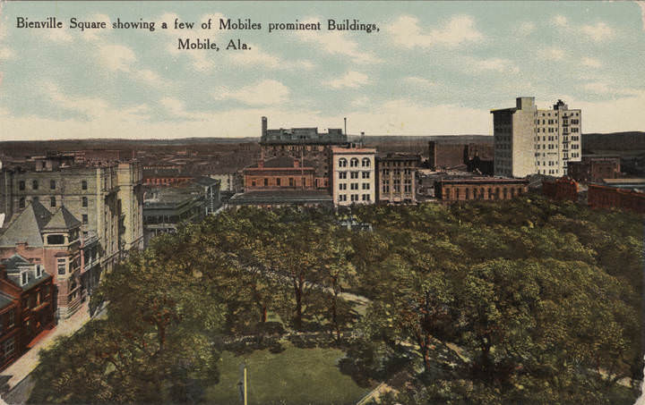
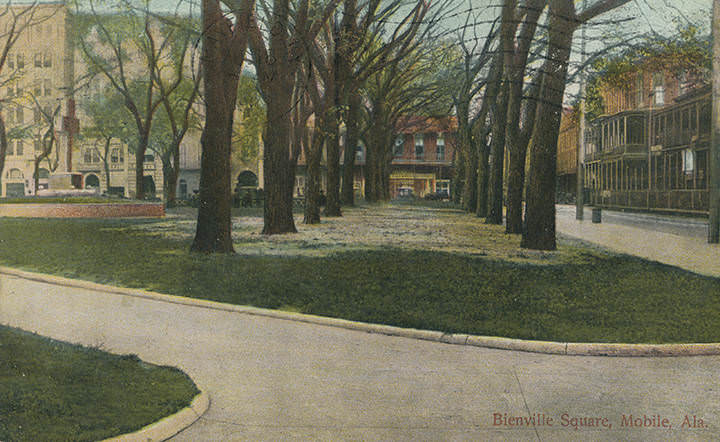
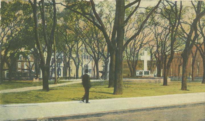
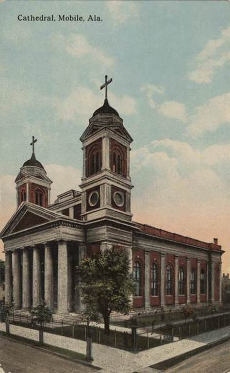
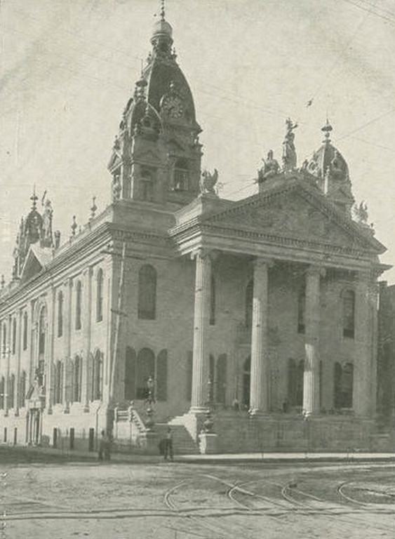
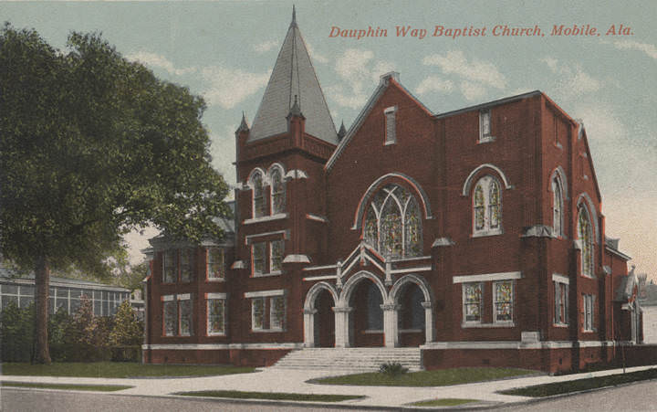
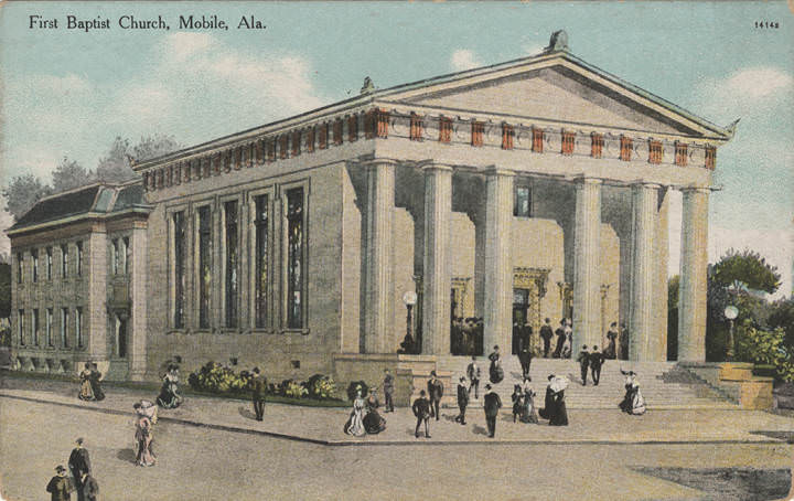
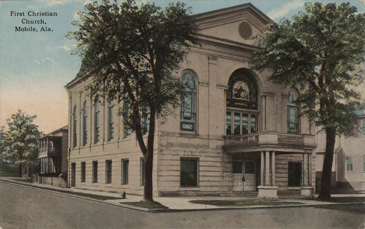
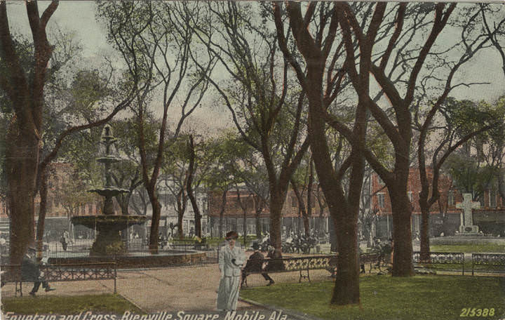
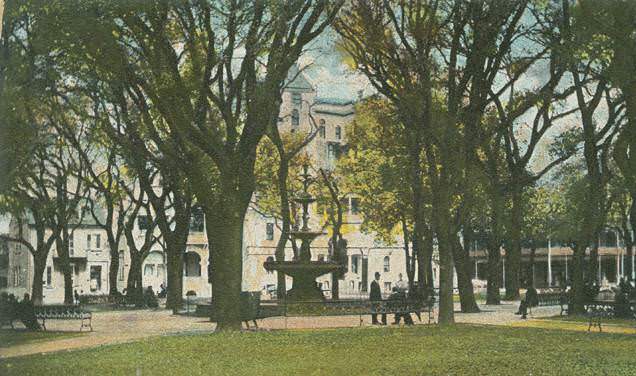
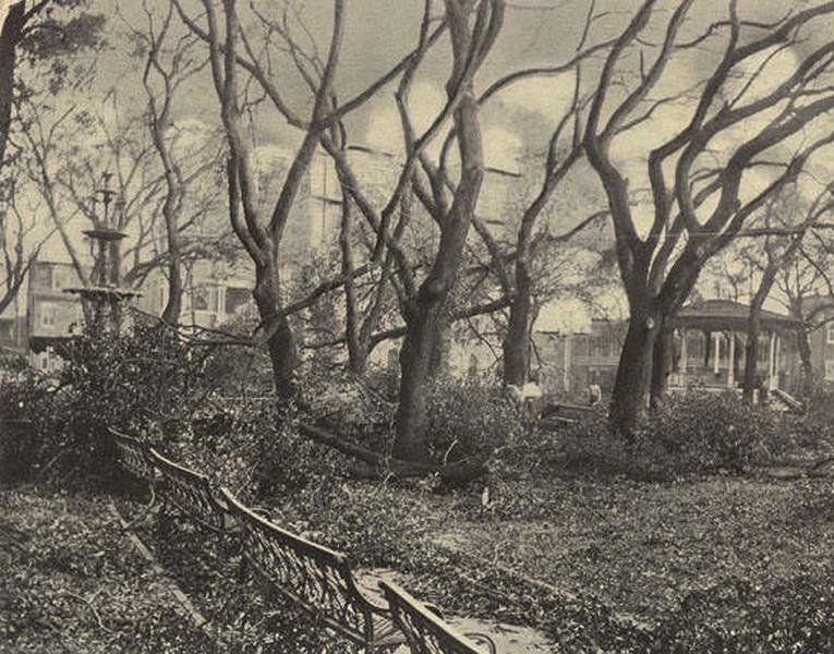
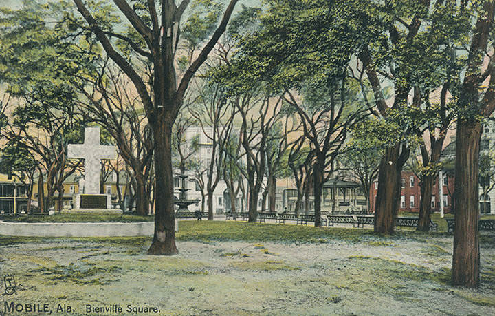
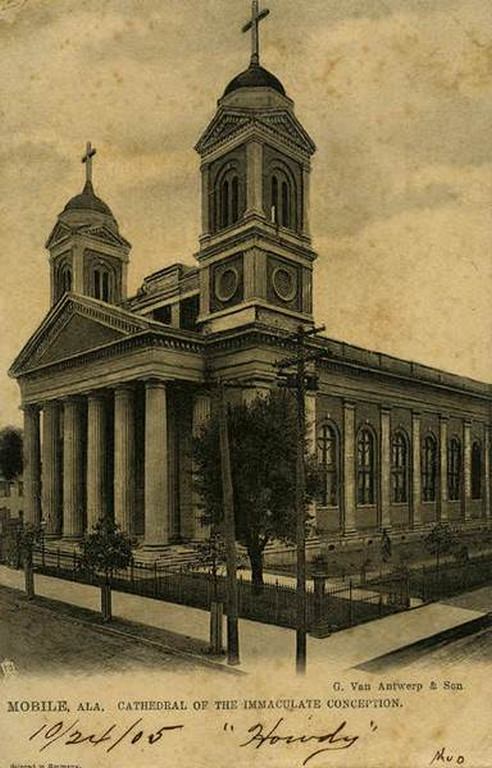
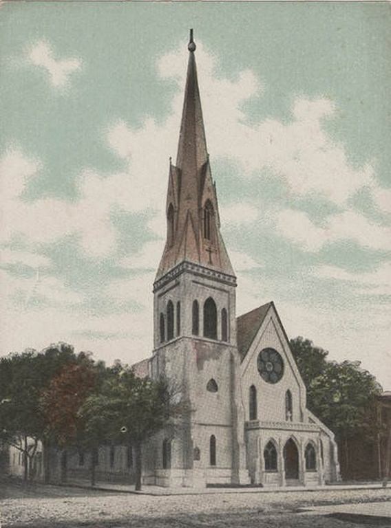
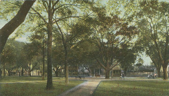
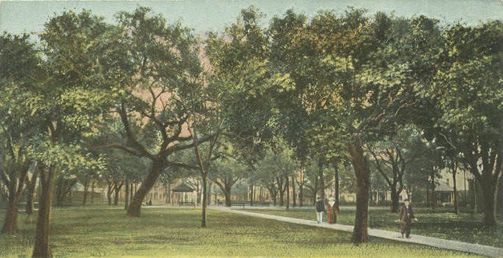
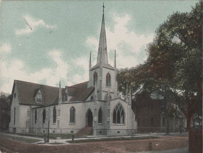
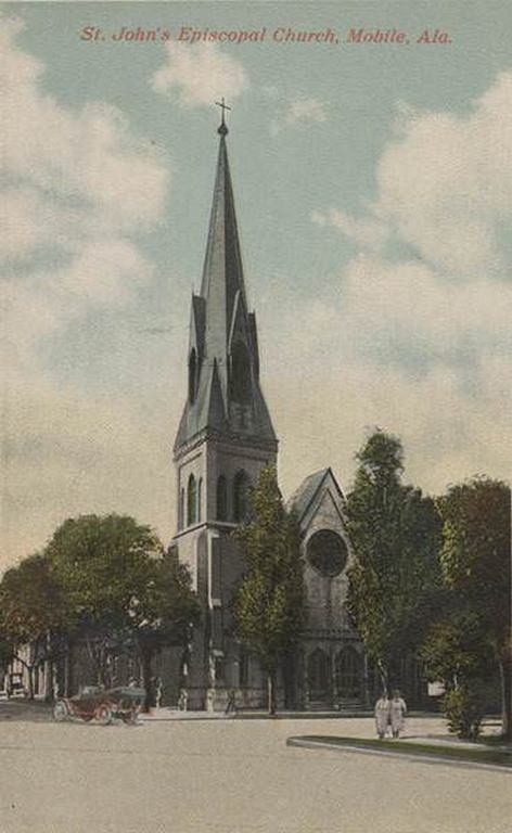
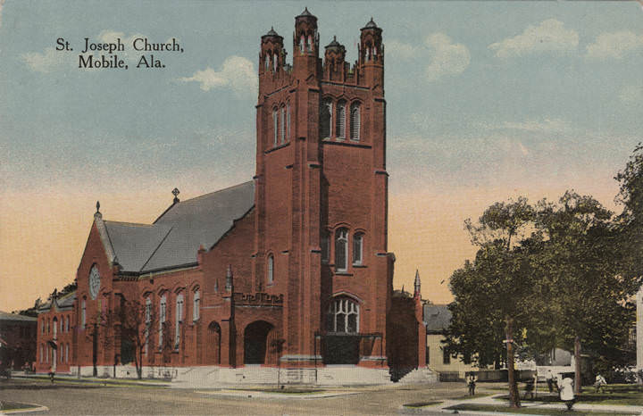
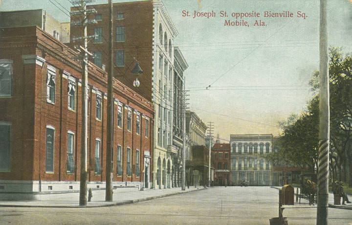
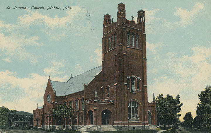
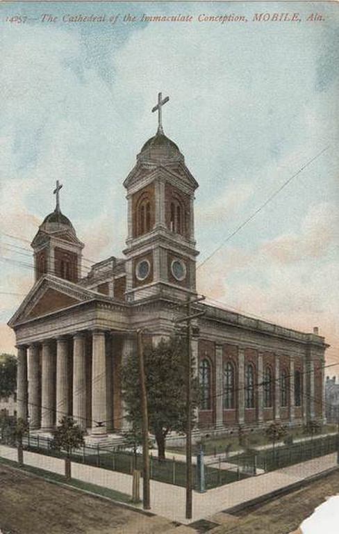
Bienville Square sat at the heart of the city, shaded by old oaks and anchored by a cast-iron fountain. The square gave Mobile a civic gathering point, surrounded by prominent buildings, hotels, and churches. Churches of many denominations were a defining feature of Mobile’s built landscape. The Cathedral of the Immaculate Conception, the Government Street Presbyterian Church, St. John’s Episcopal Church, St. Joseph’s Church, and Trinity Episcopal Church all appeared in postcards and photographs of the era, reflecting a city with deep religious roots across multiple faiths.
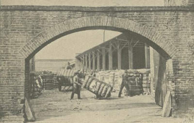
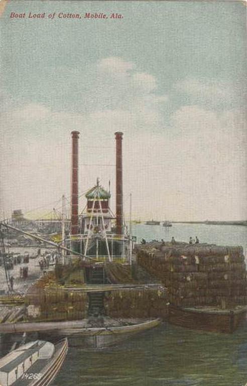
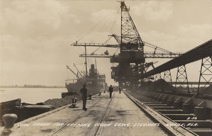
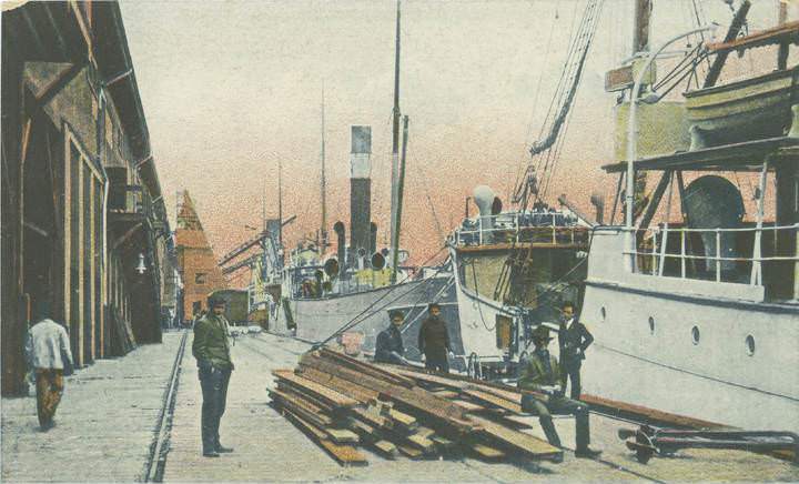
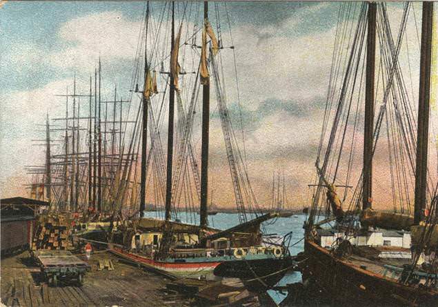
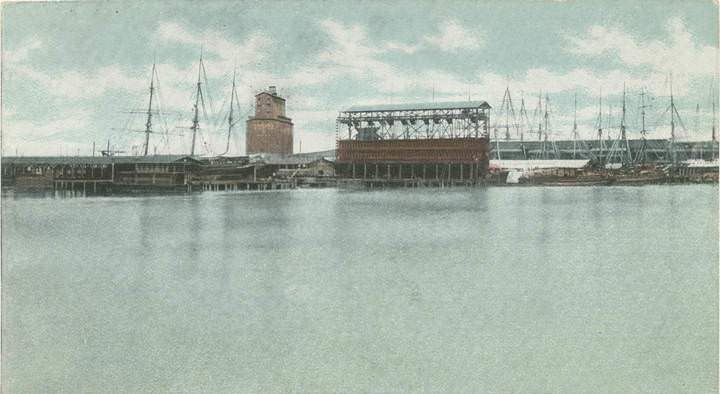
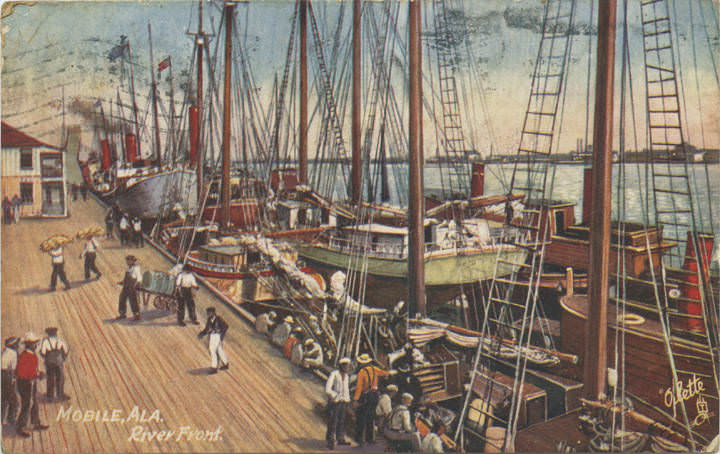
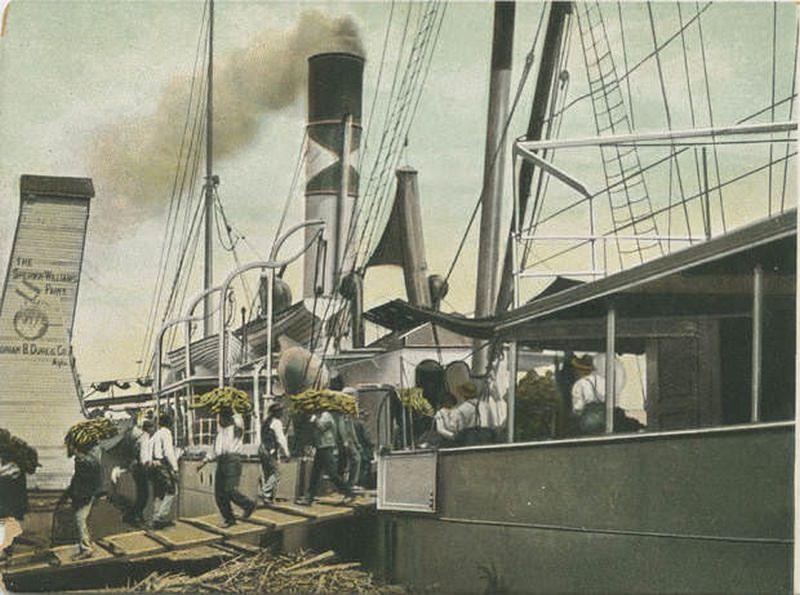
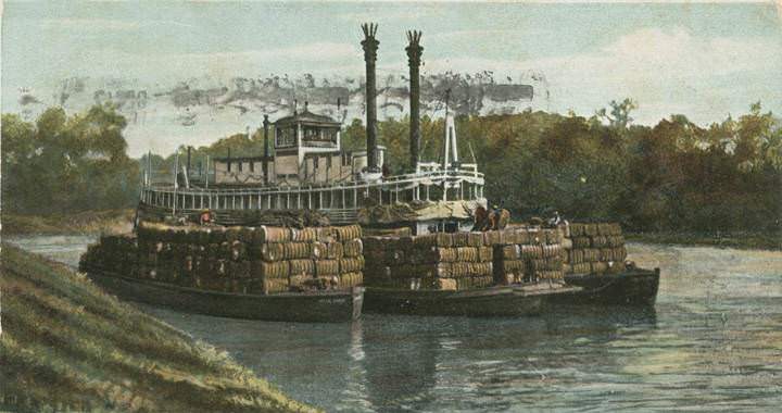
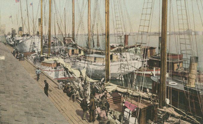
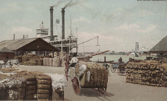
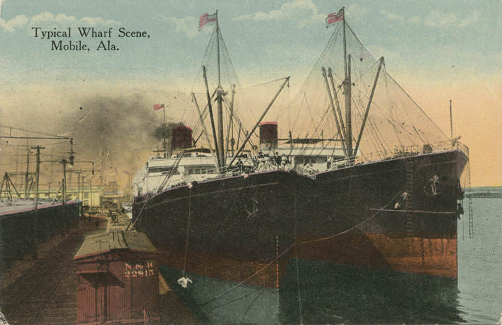
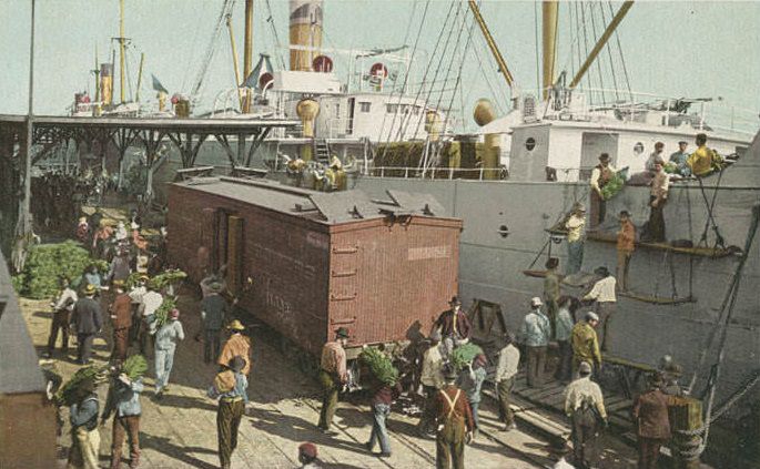
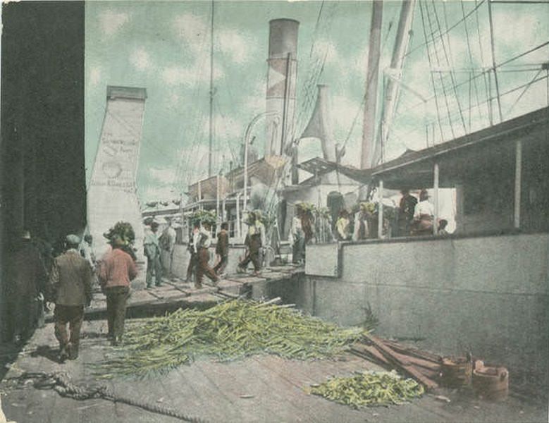
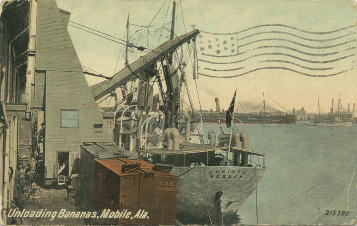
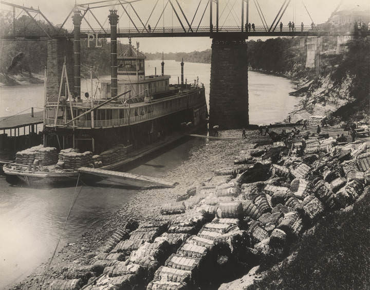
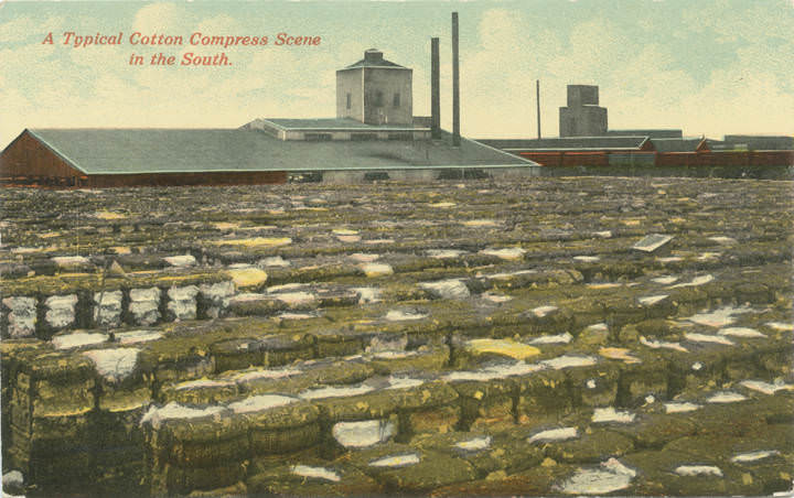
Cotton was still king at Mobile’s docks in the early 1900s. Warehouses along the waterfront stored bales waiting to be loaded onto steamers. Workers unloaded and compressed cotton on a massive scale, and images of the cotton docks show just how central the crop remained to the port’s daily rhythm. Alongside cotton, Mobile handled lumber, grain, fruit, and coal. Coal cranes loaded ocean-going steamers, grain elevators rose above the river front, and banana imports from Central America arrived by the boatload — images from 1906 show workers unloading bananas directly from steamers at the docks.
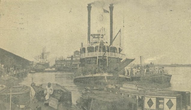
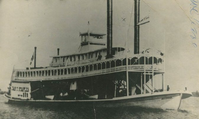
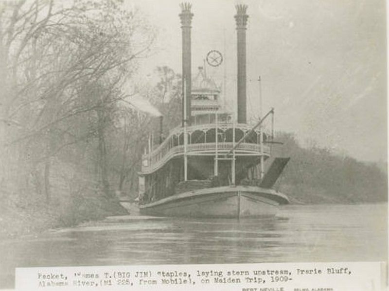
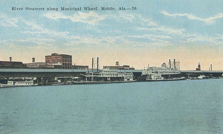
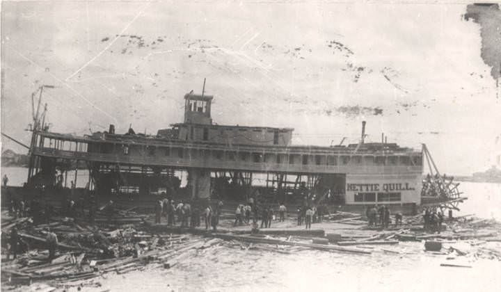
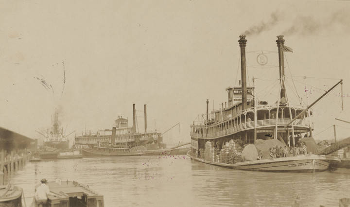
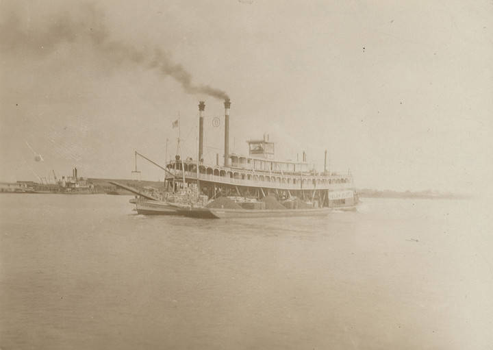
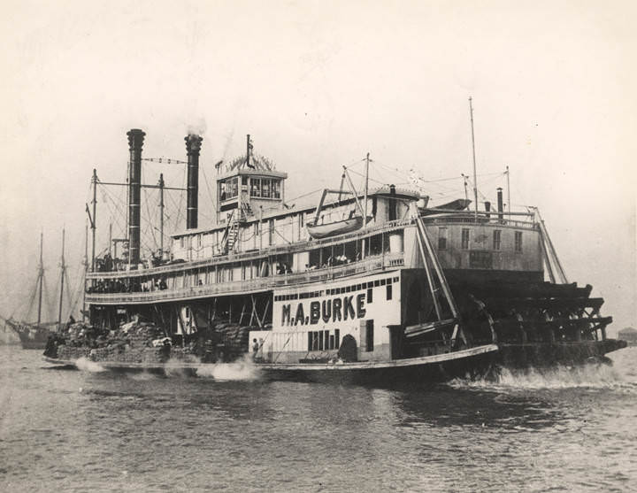
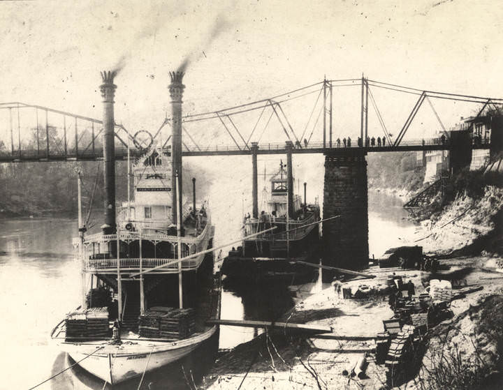
River steamboats connected Mobile to communities along the Alabama and Tombigbee rivers. Vessels like the “Helen Burke,” the “City of Mobile,” the “M. A. Burke,” and the “Jas. T. Staples” made regular runs between Mobile and inland towns like Selma and Demopolis. In 1909, the steamboat “Nettie Quill” was photographed under construction at the Mobile docks. These packets carried passengers, mail, and freight, and were a primary link between the port city and the Alabama interior before roads and rail fully took over.
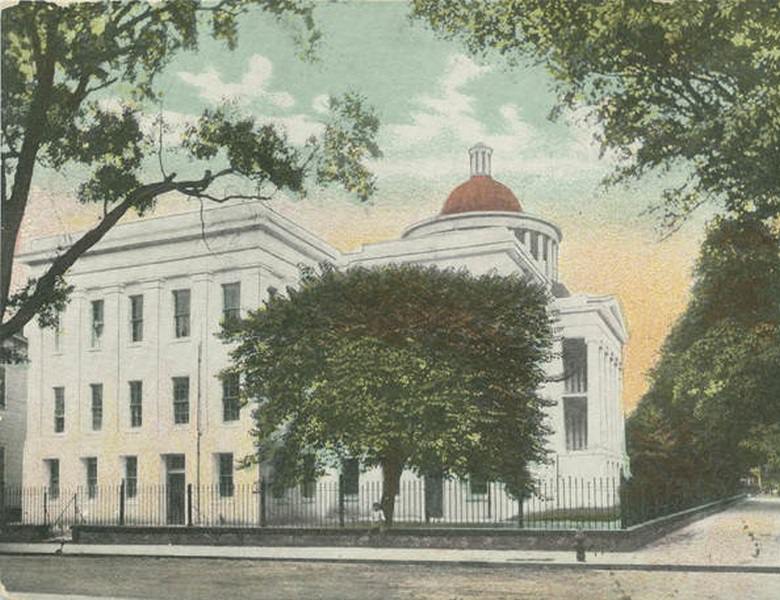
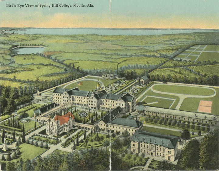
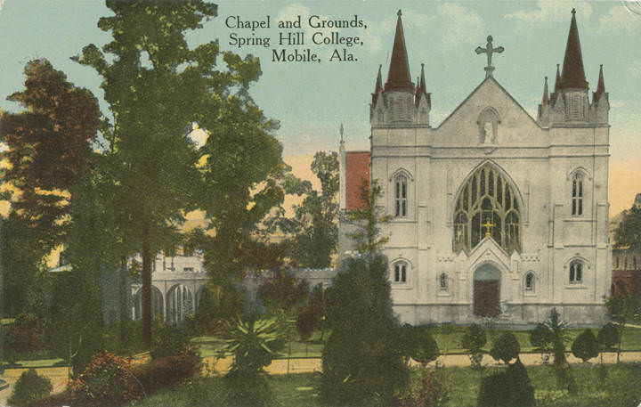
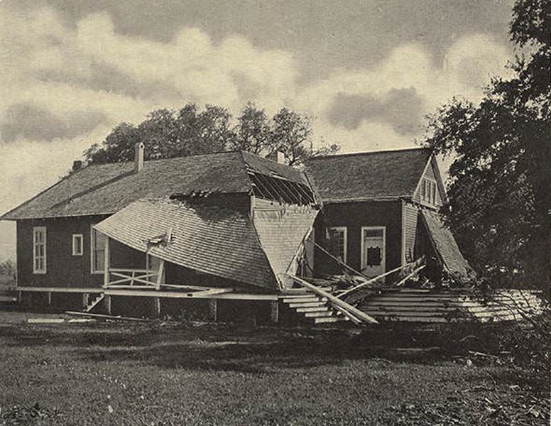
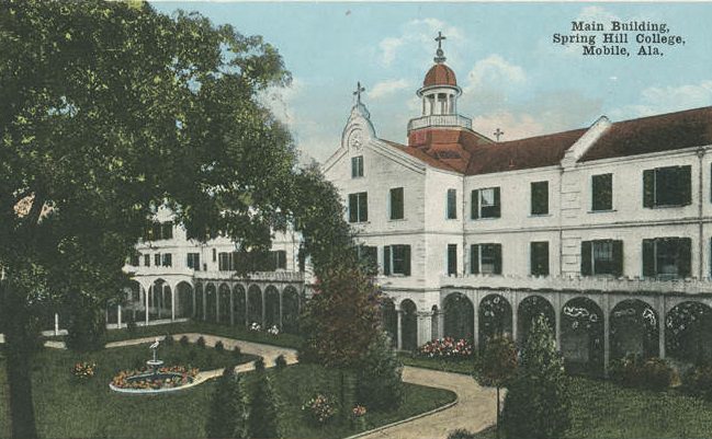
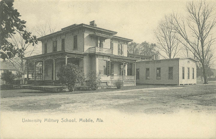
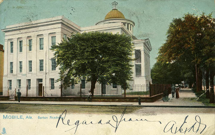
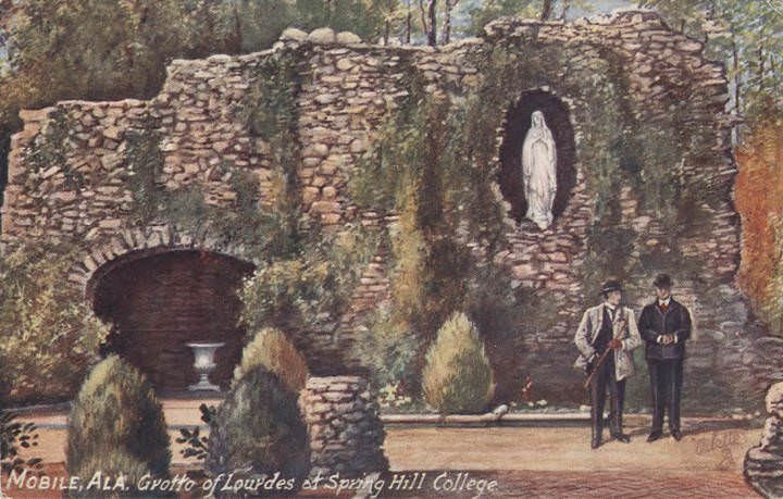
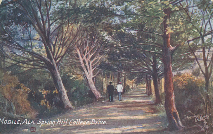
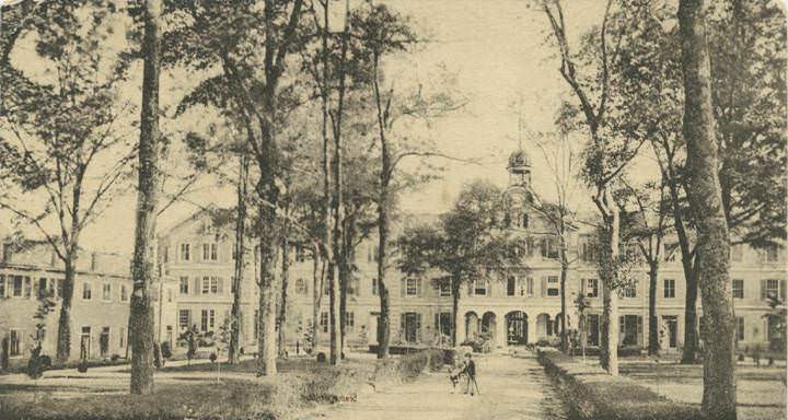
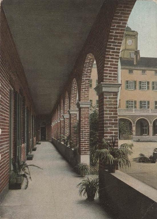
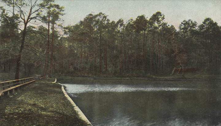
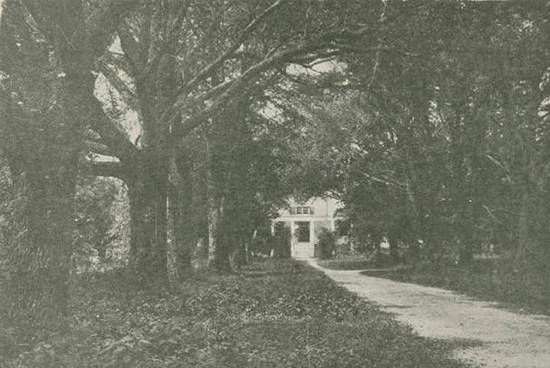
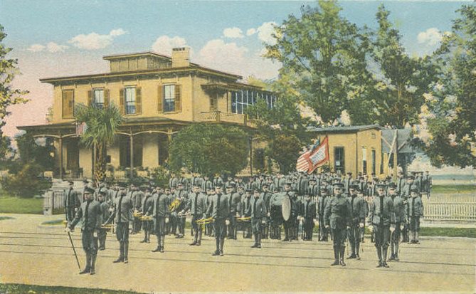
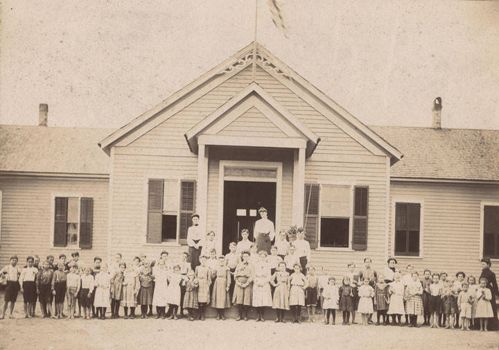
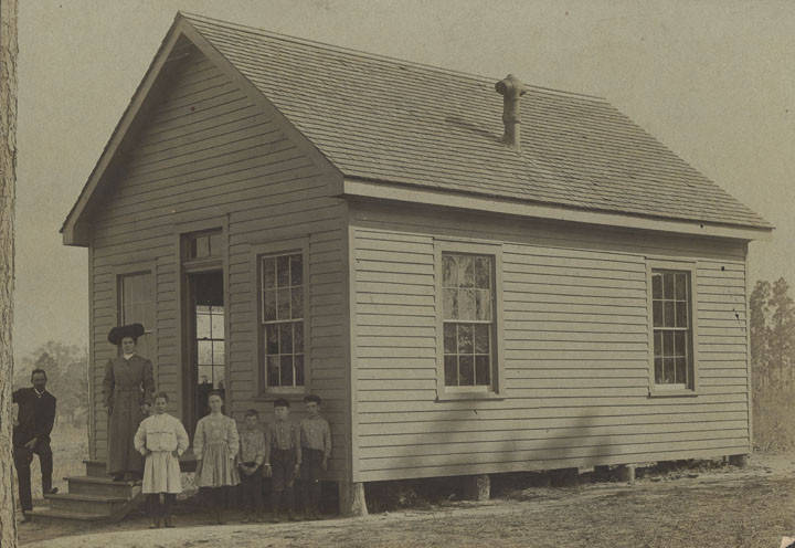
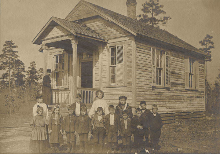
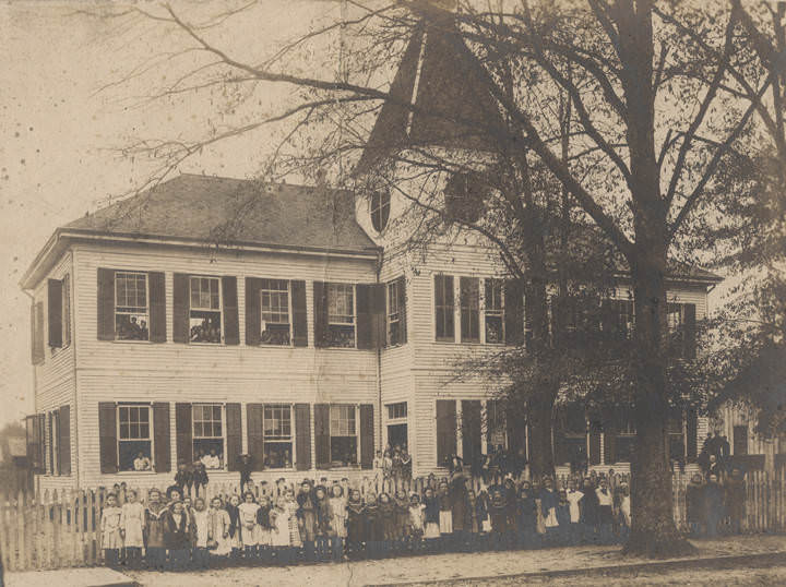
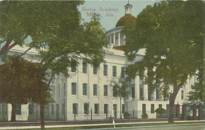
Education was a visible part of Mobile’s public life. Barton Academy, one of the oldest public school buildings in Alabama, stood as a landmark on Government Street. The University Military School drilled its cadet battalion on campus grounds. Spring Hill College, run by the Jesuits, occupied a large hilltop campus with a chapel, a grotto modeled on Lourdes, a lake, and a long scenic drive. Rural Mobile County also had its own network of small schoolhouses, and photographs from 1901 show students and teachers gathered outside modest school buildings in communities like Wilmer and Whistler.
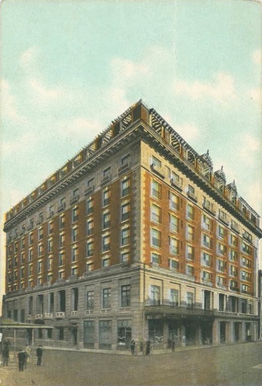
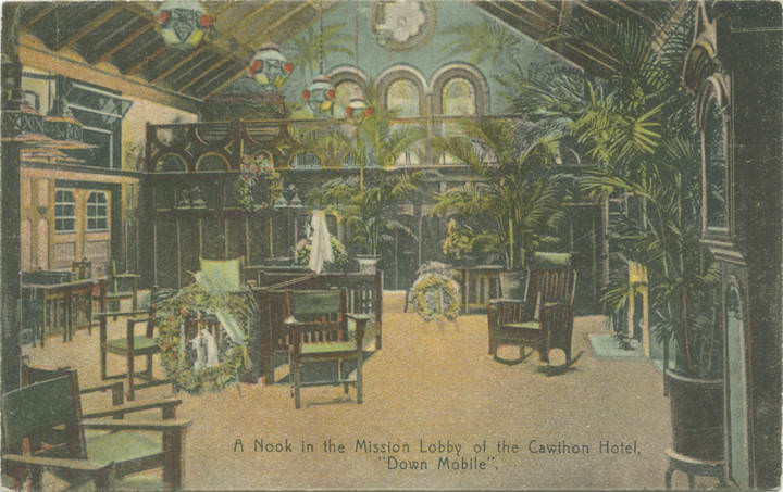
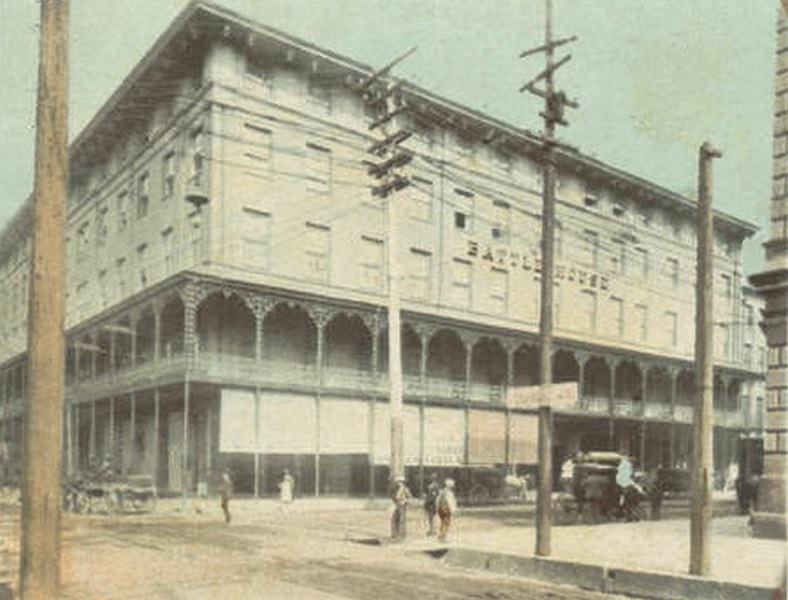
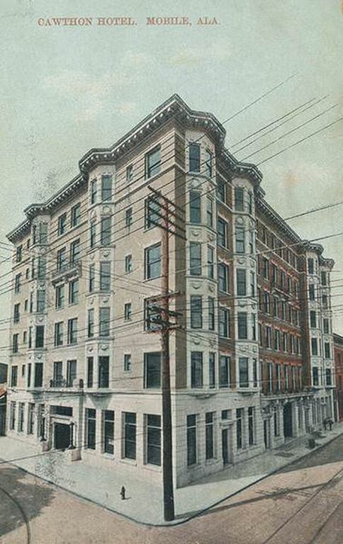
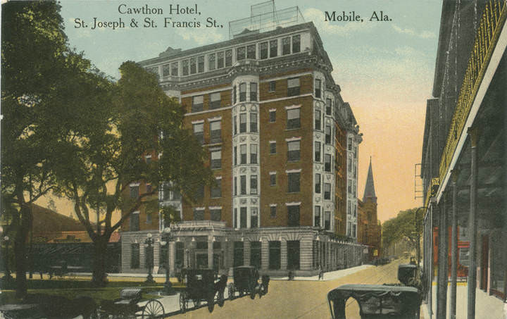
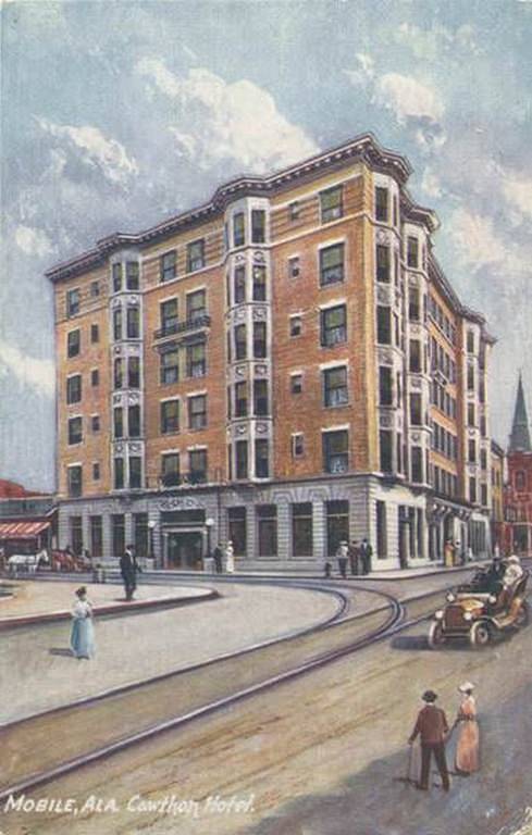
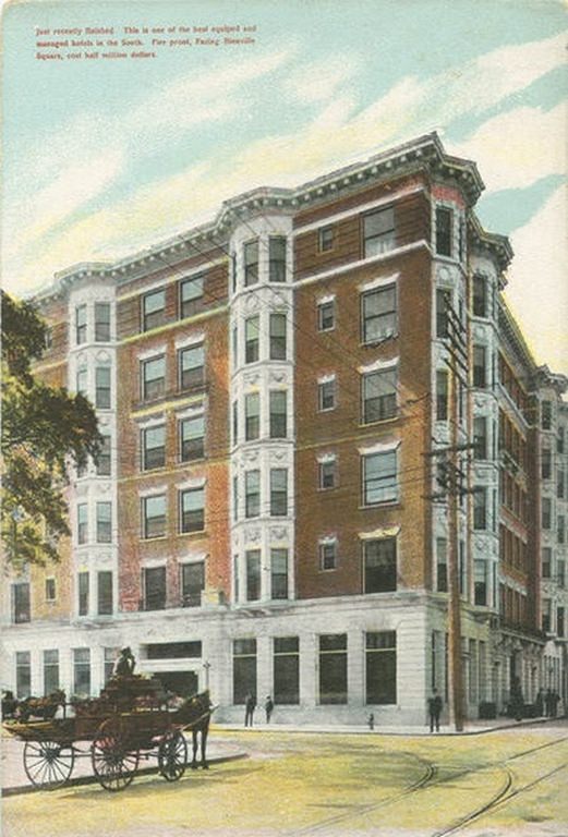
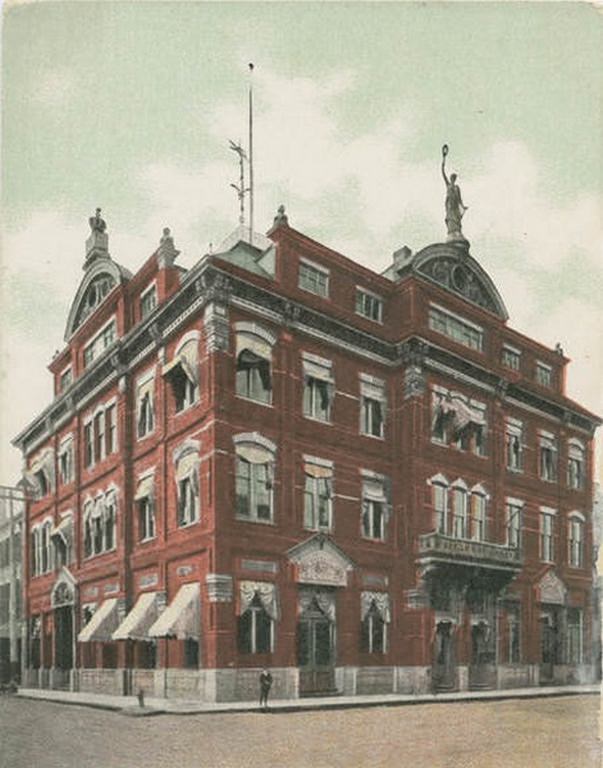
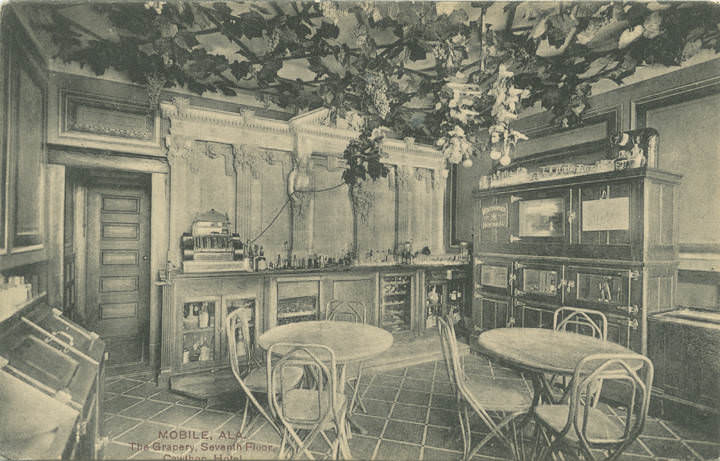
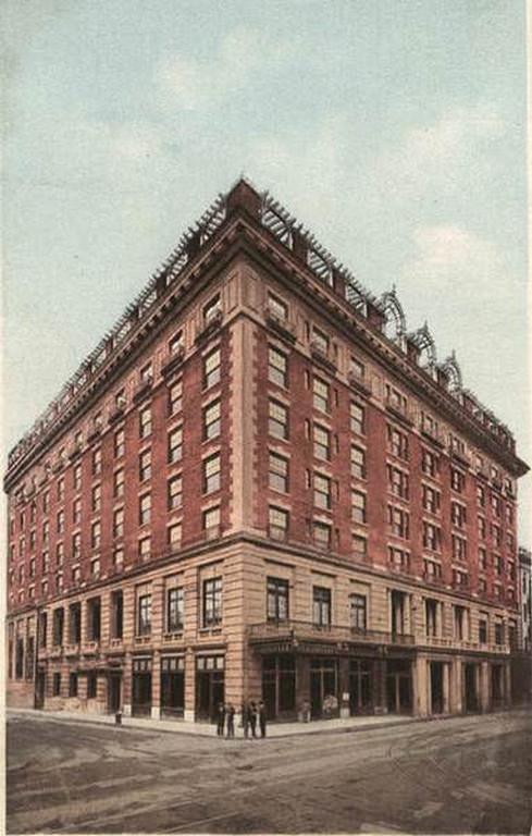
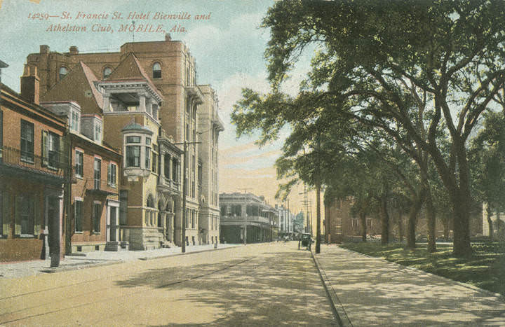
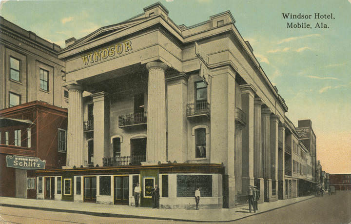
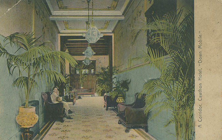
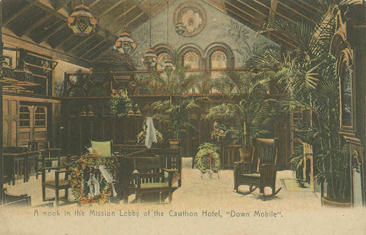
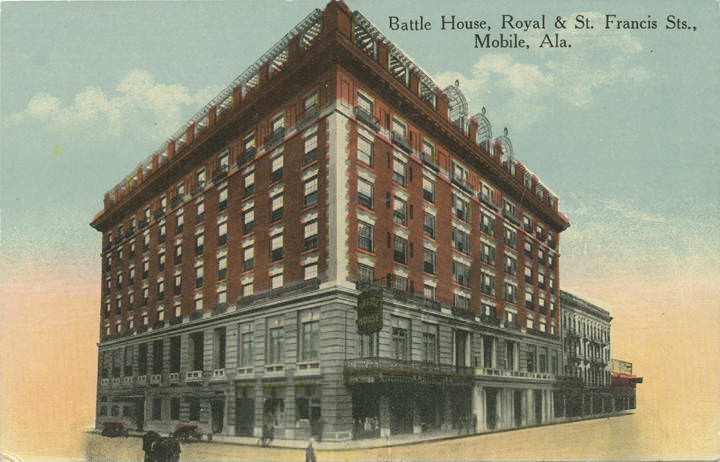
Mobile’s hotels reflected the city’s ambitions as a regional destination. The Battle House, located at Royal and St. Francis Streets, was the city’s most prestigious address — a landmark that hosted travelers, businessmen, and politicians. In 1909, a new Battle House was photographed standing as an updated version of the old structure. The Cawthon Hotel offered guests a different kind of luxury, with a Mission-style lobby, decorated corridors, and a rooftop grapery on the seventh floor that looked out over the city. The Bienville Hotel, on St. Francis Street, shared the block with the Athelstan Club, one of Mobile’s oldest social organizations.
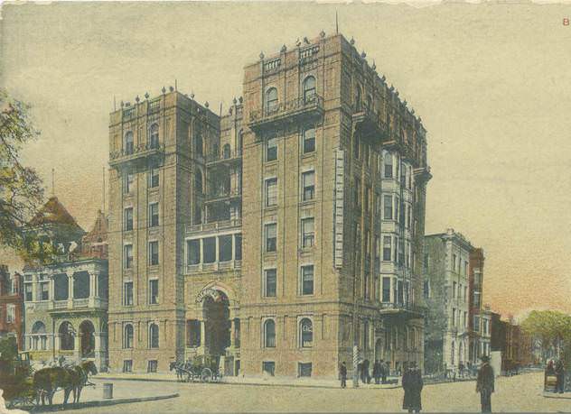
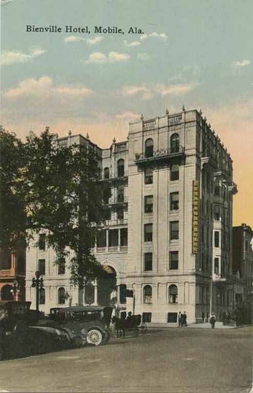
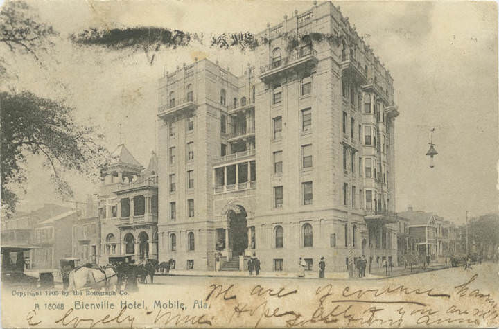
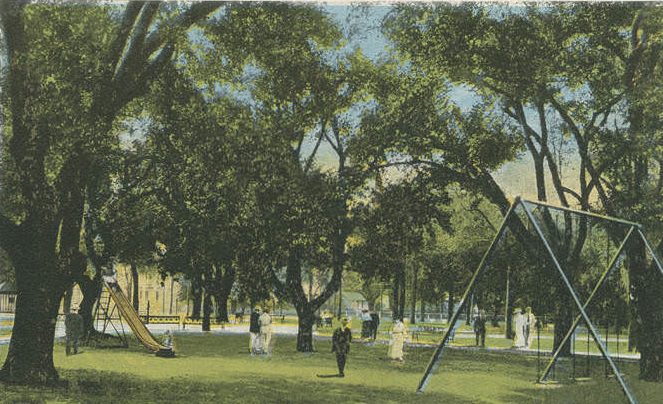
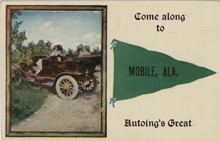
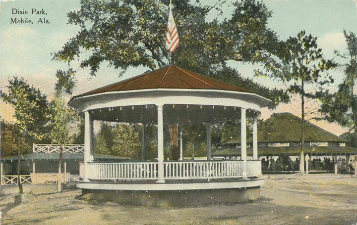
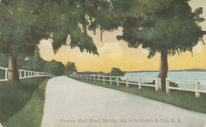
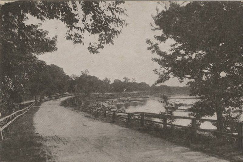
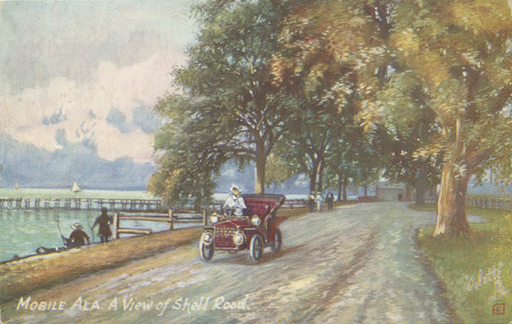
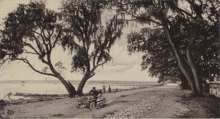
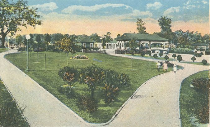
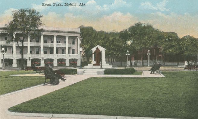
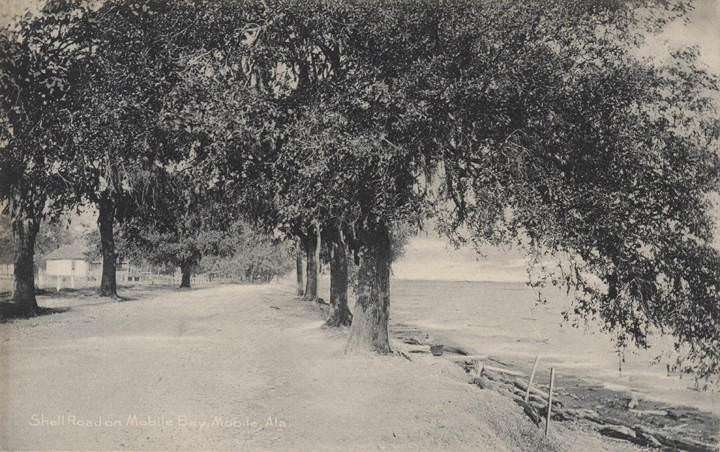
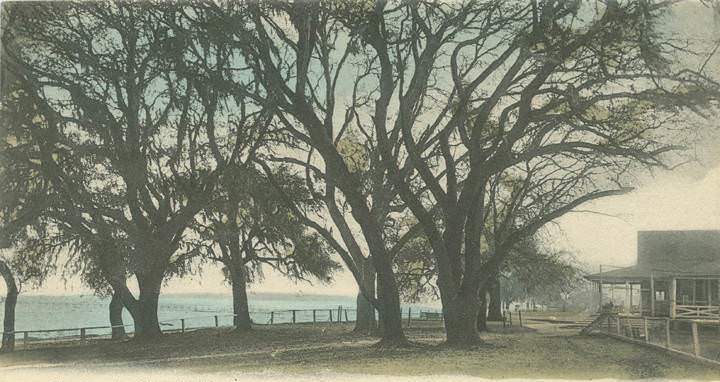
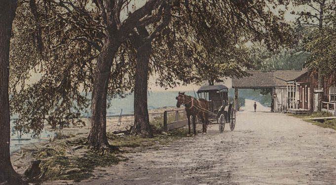
The city’s parks offered breathing room from the bustle of commerce. Bienville Square drew residents under its canopy of oaks. Ryan Park sat near the Convent of Mercy. Washington Square featured a children’s playground. Dixie Park offered recreation for families. Out along the bay, Monroe Park and the shell roads that followed the coastline gave Mobilians a place to drive, stroll, and take in views of the water. By the early 1900s, automobiling was already popular enough to appear in promotional postcards urging visitors to come experience Mobile’s roads.
Spring Hill College sat on the western edge of the city, surrounded by wooded grounds. Its buildings included a chapel, a library, and residence halls arranged around the hilltop campus. A bird’s-eye view photograph from the era shows the scope of the institution and the dense tree canopy surrounding it. The college had operated since 1830 and was already more than seven decades old when these images were taken, making it one of the oldest Catholic colleges in the Southeast.
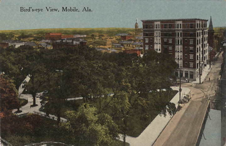
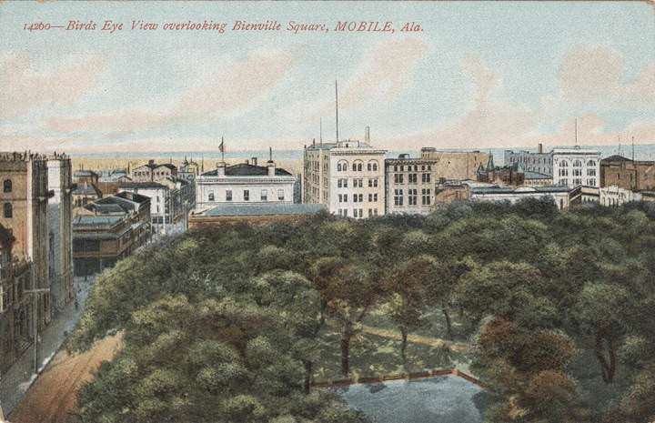
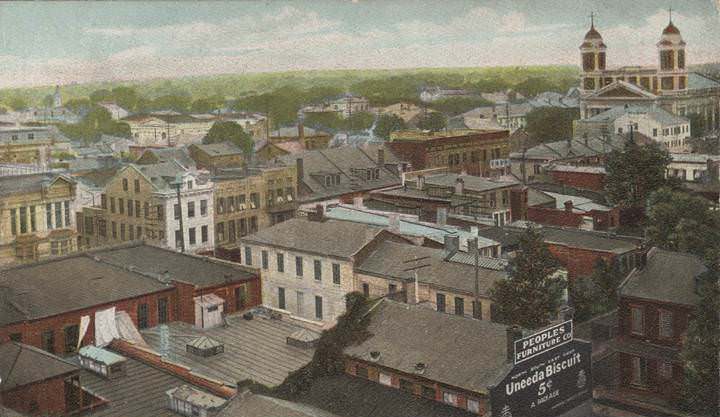
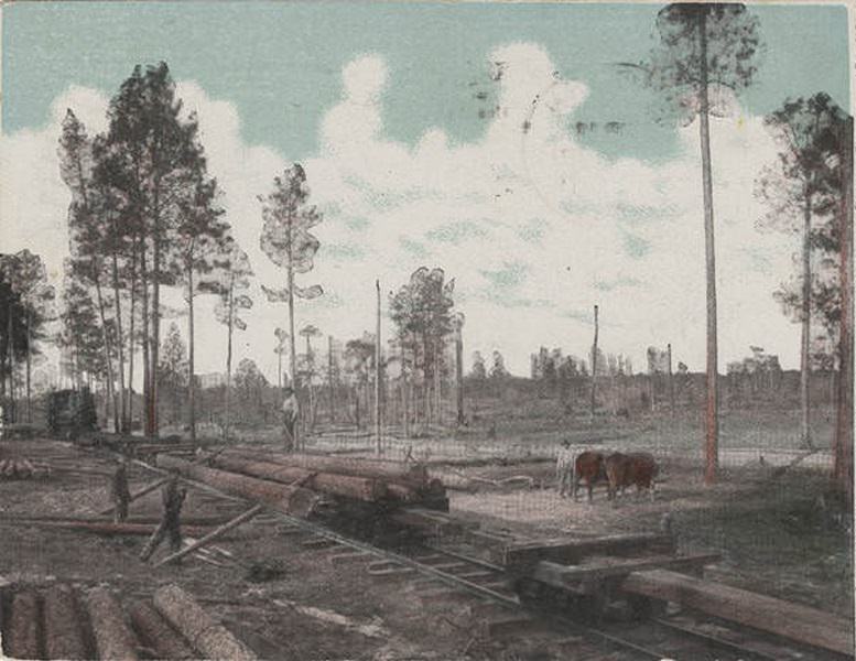
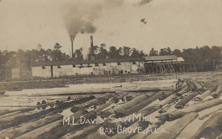
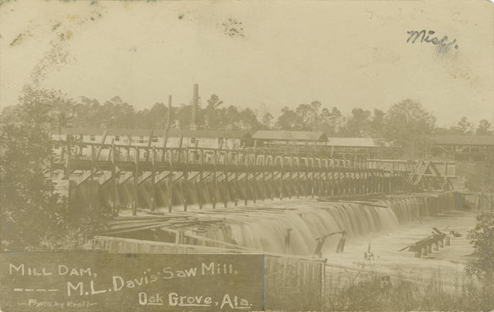
Mobile’s port handled an enormous variety of cargo. Lumber was loaded by the trainload, with logging trains photographed hauling timber directly from forests to mills like M. L. Davis’ Saw Mill in Oak Grove. Lumber was also bound for export — one 1907 photograph shows a shipment being loaded specifically for the Panama Canal construction project. The harbor photographs from these years show a waterfront stacked with goods, cranes, and vessels of every size, from river packets to ocean-going steamers.
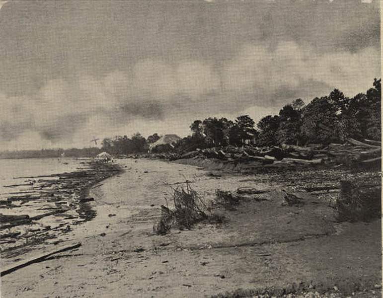
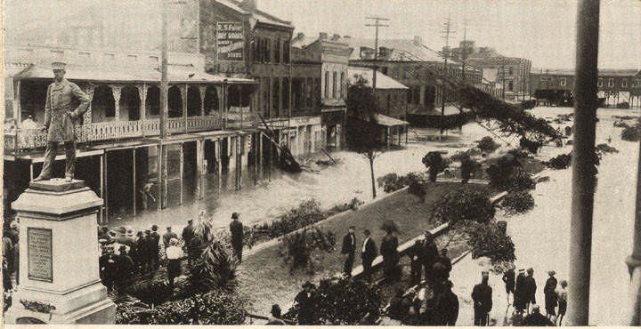
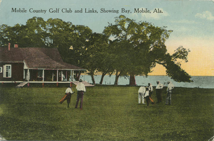
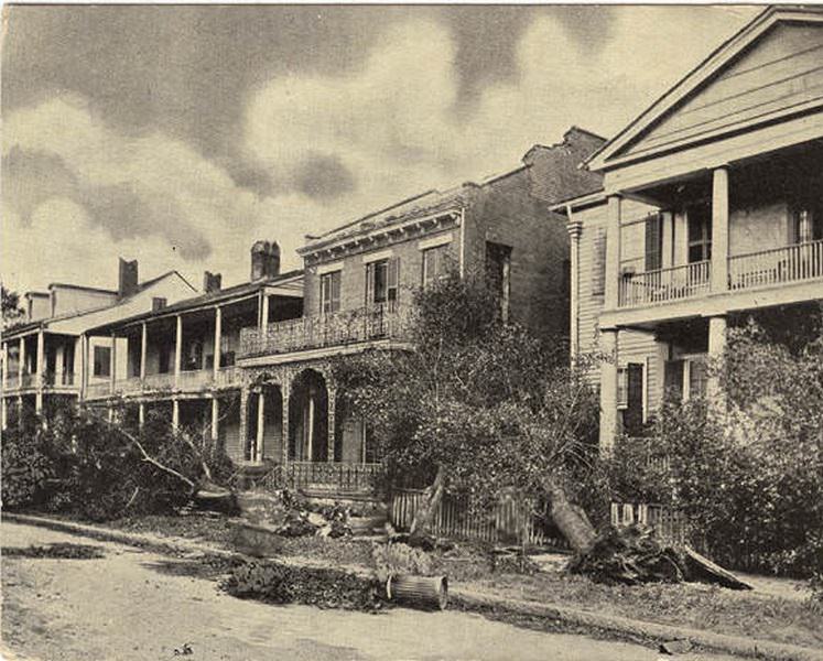
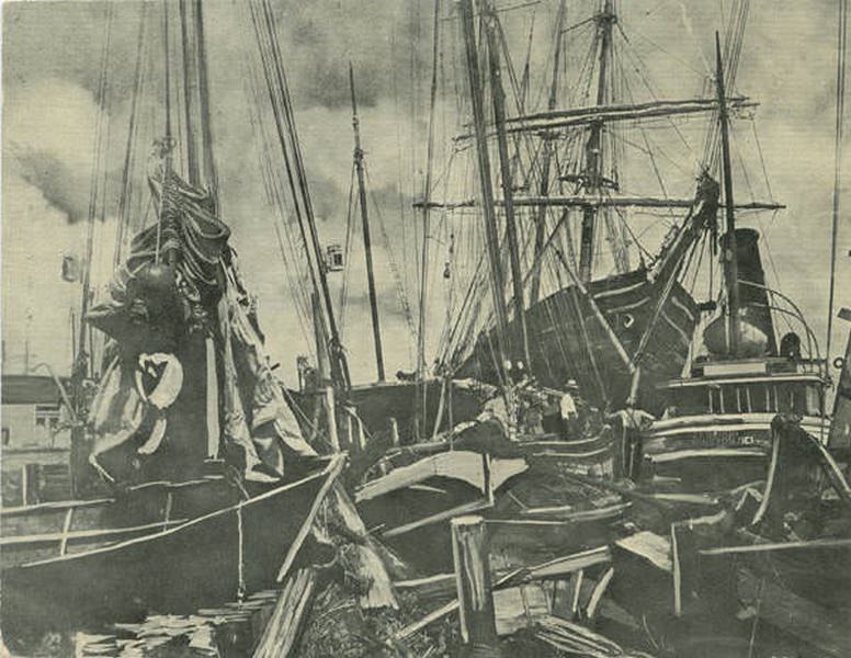
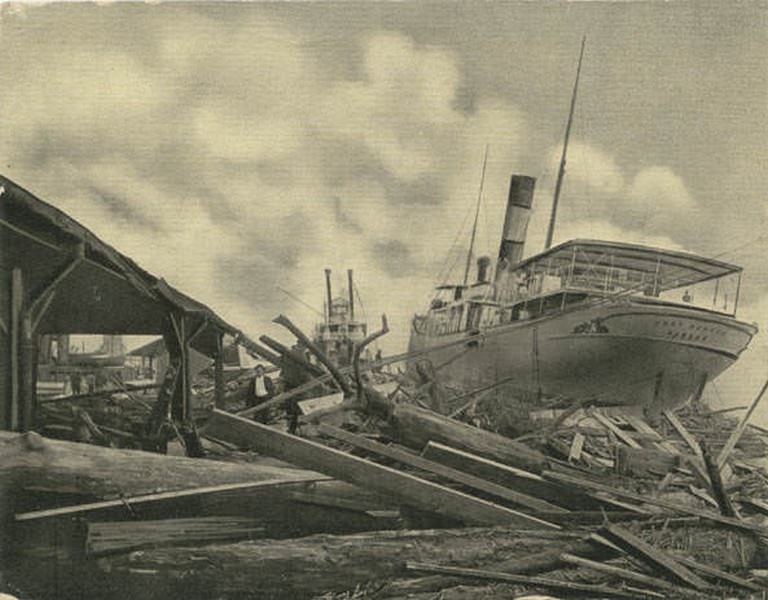
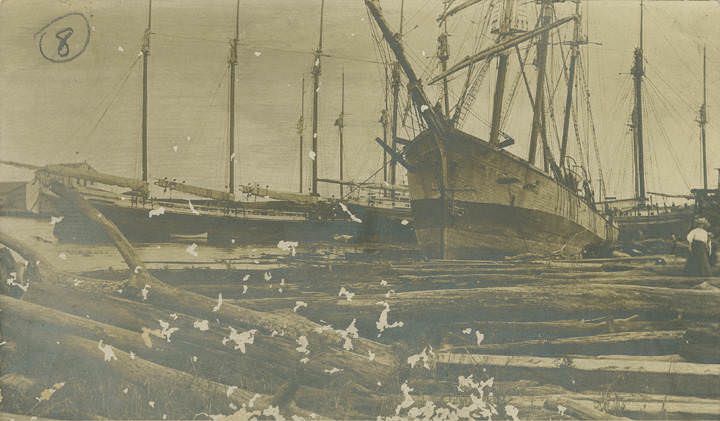
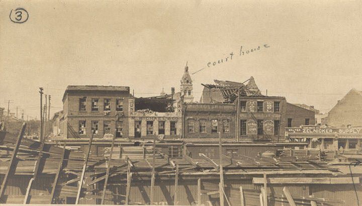
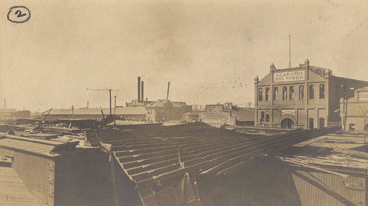
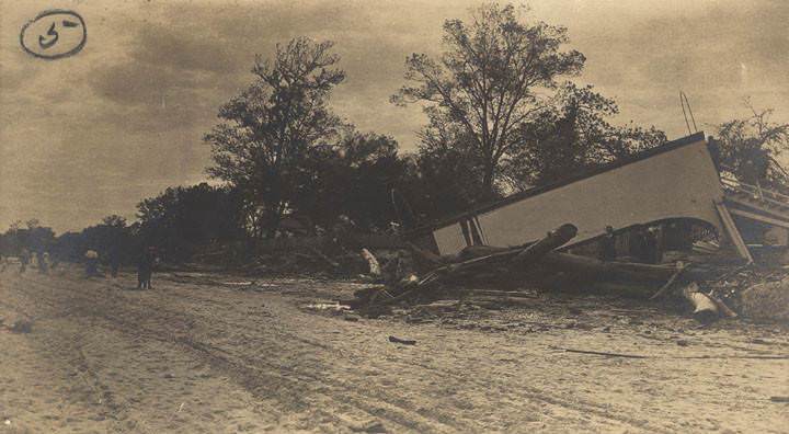
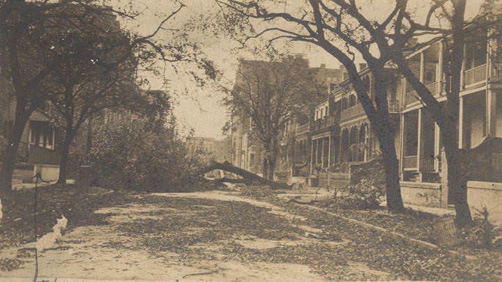
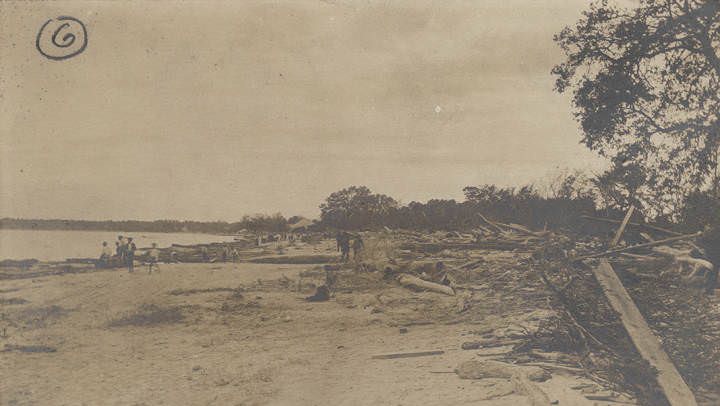
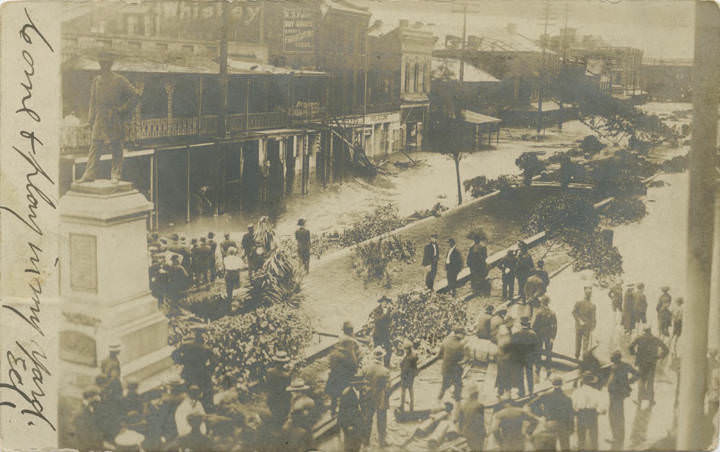
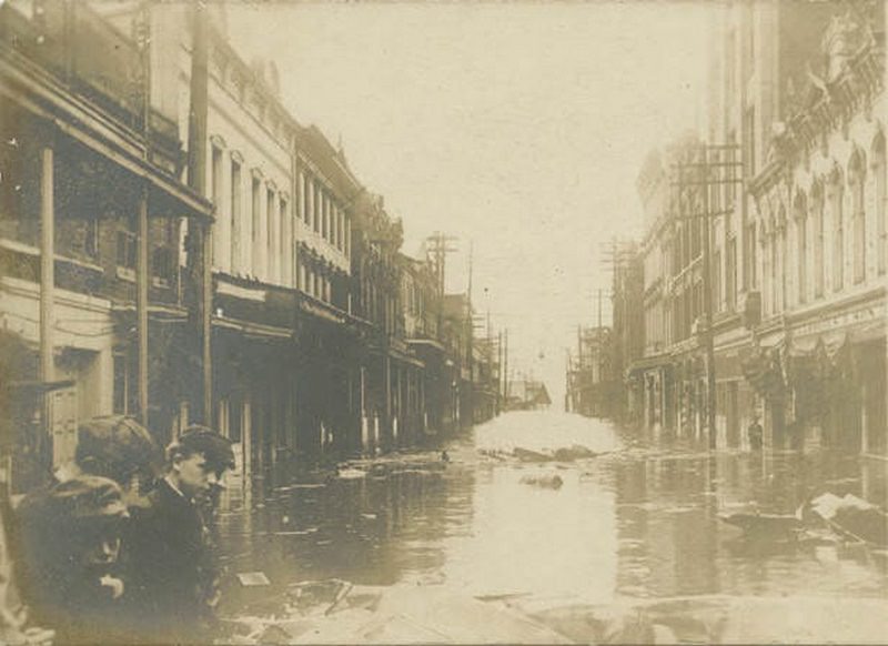
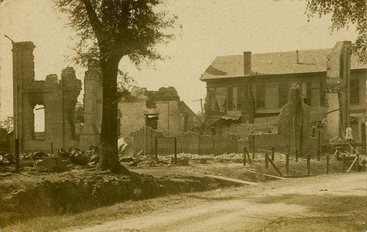
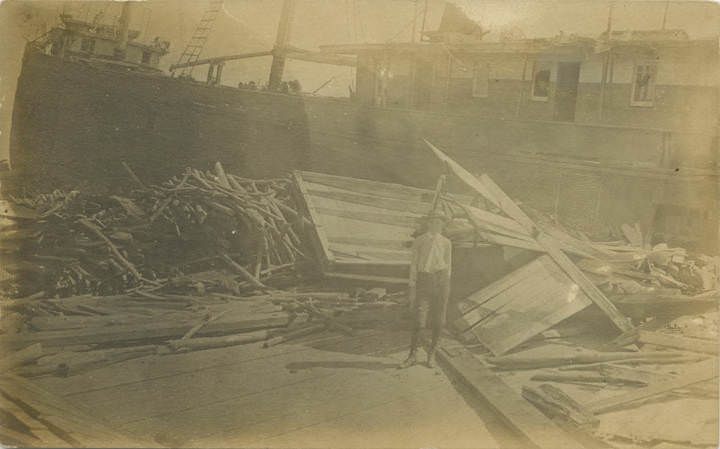
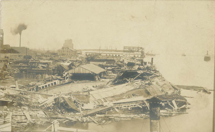
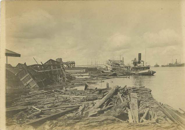
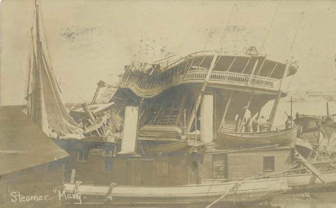
The storm of September 27, 1906 tore through Mobile with devastating force. Photographs taken in its aftermath show wrecked vessels at the docks, debris scattered across St. Louis Street, flooded streets at Duncan Place, and trees downed in Bienville Square. The Country Club near Mobile Bay was badly damaged. The shell road along the bay was destroyed in sections. Vessels including the steamer “Mary” were wrecked. Hurricanes were a recurring hazard — photographs from 1902 also document hurricane damage across downtown Mobile and along the shoreline, showing that the city absorbed such blows repeatedly in this era.
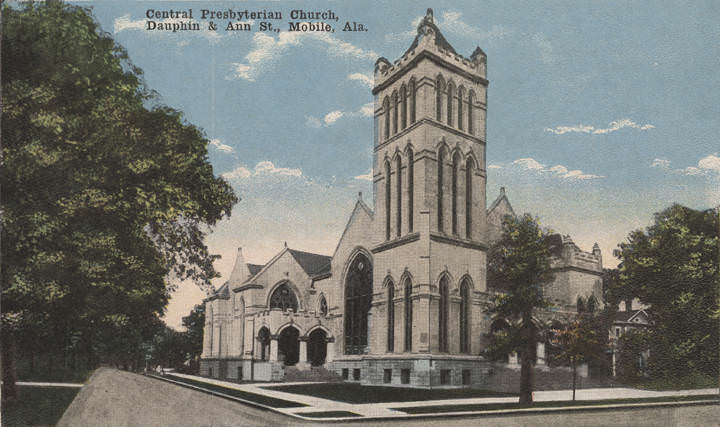
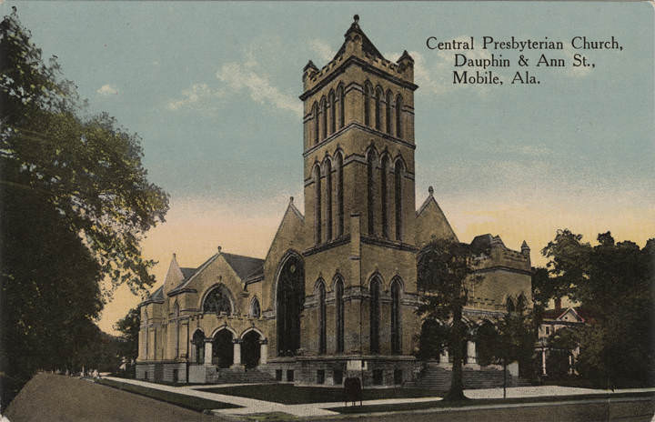
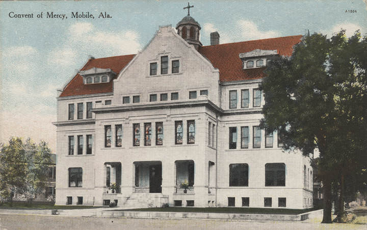
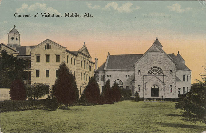
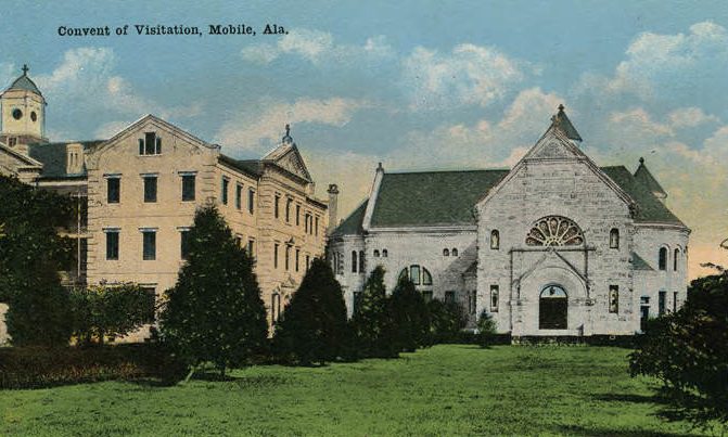
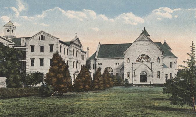
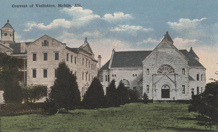
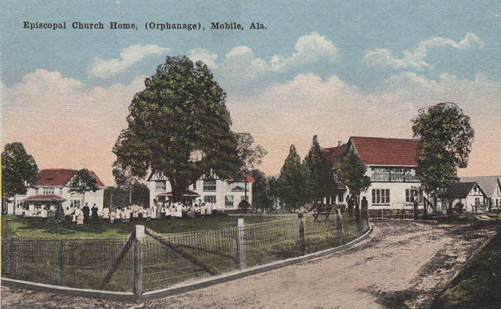
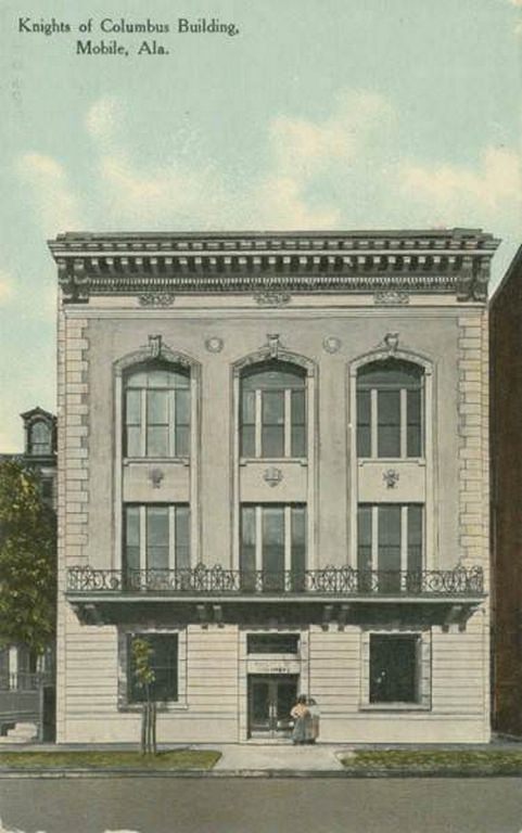
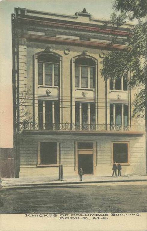
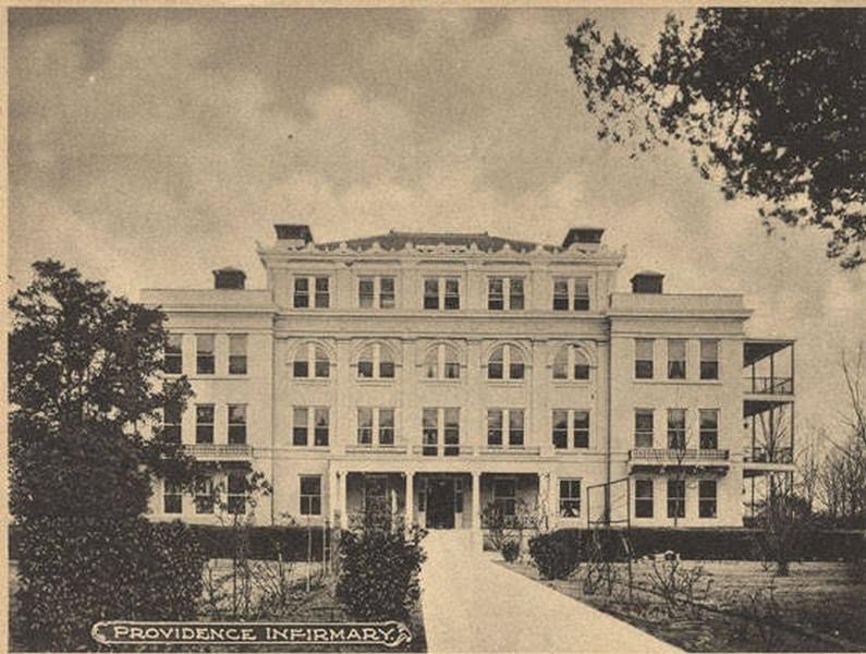
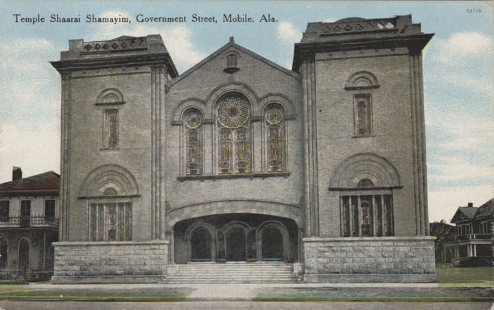
Religious institutions occupied some of Mobile’s most architecturally impressive buildings. The Convent of the Visitation had a formal entrance gate, a cloister, and extensive grounds that were photographed from multiple angles. The Convent of Mercy stood near Ryan Park. The Episcopal Church Home operated as an orphanage. The Knights of Columbus had a dedicated building on Government Street. Temple Shaarai Shamayim served Mobile’s Jewish community. This variety of institutions reflected the city’s layered heritage, shaped by French, Spanish, and American influences across more than two centuries.
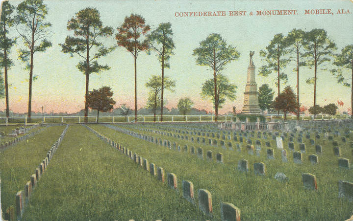
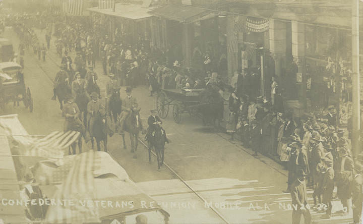
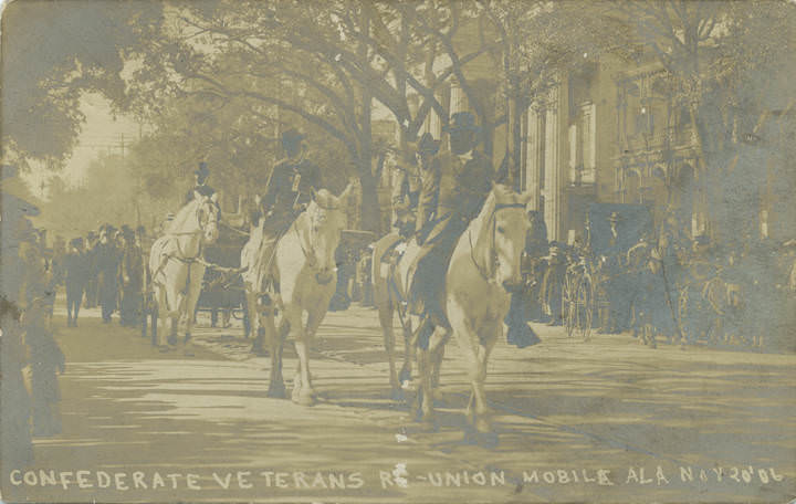
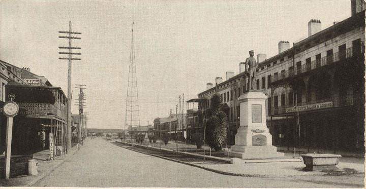
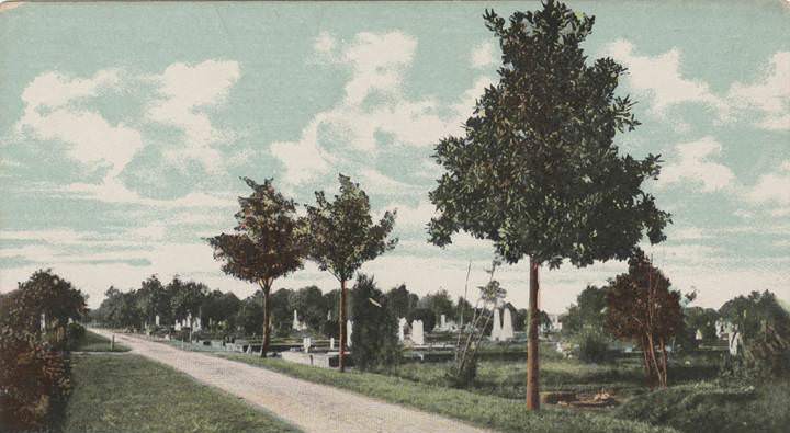
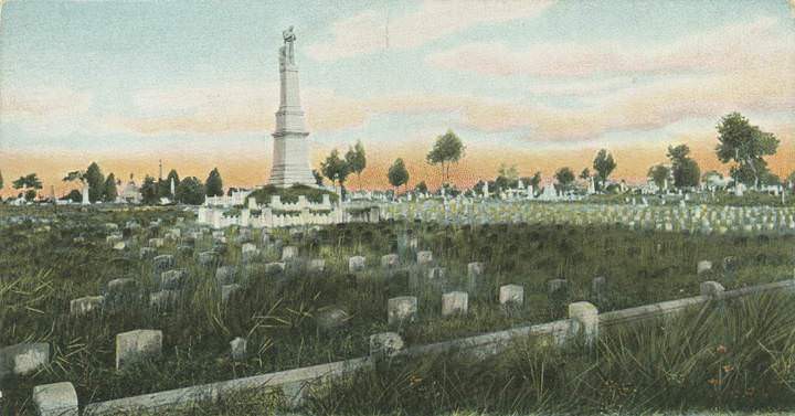
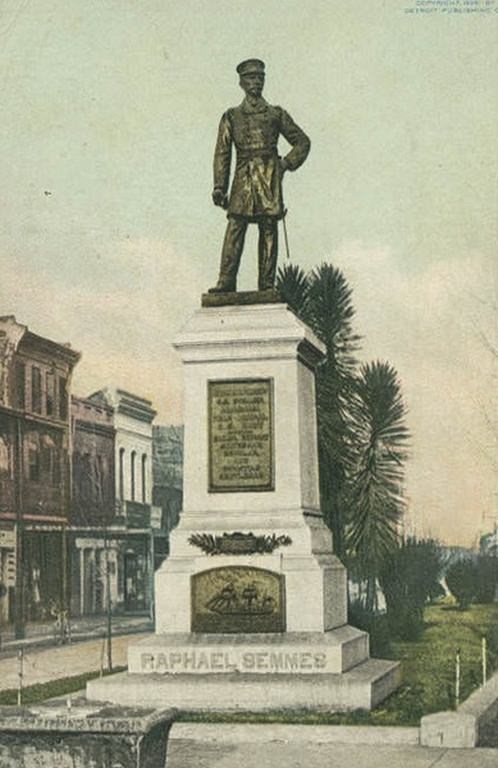
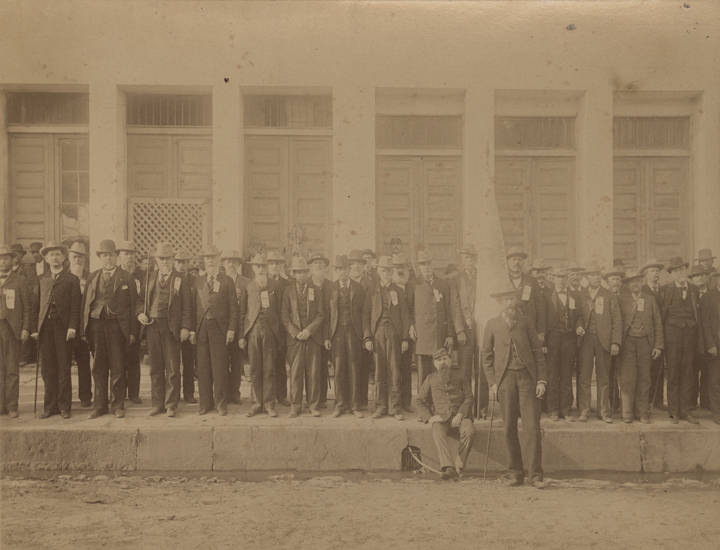
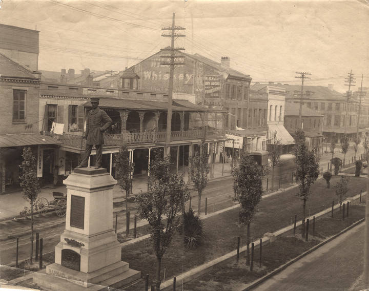
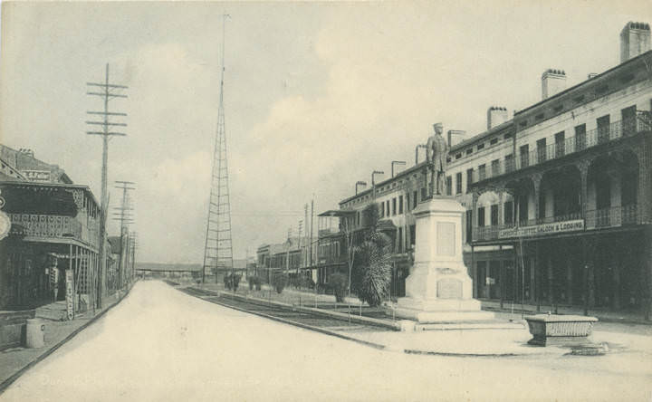
Confederate memory was actively maintained in Mobile during this period. The Confederate Rest section of Magnolia Cemetery honored soldiers who died in the Civil War. A Confederate monument stood at Duncan Place alongside a statue of Admiral Raphael Semmes, the Confederate naval commander who was one of Mobile’s most celebrated figures. Confederate veterans held reunions in the city, with photographs from one such event showing large gatherings of aging soldiers. The Raphael Semmes Camp of the United Confederate Veterans met regularly in Mobile as late as 1907.
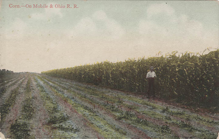
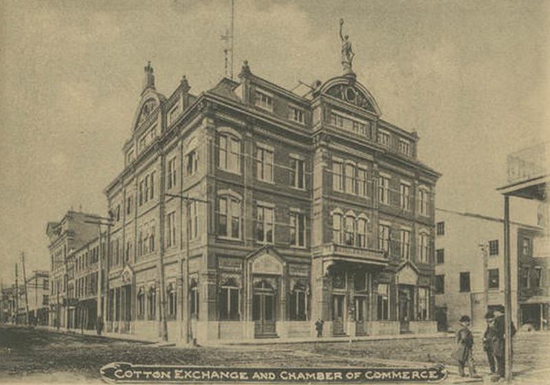
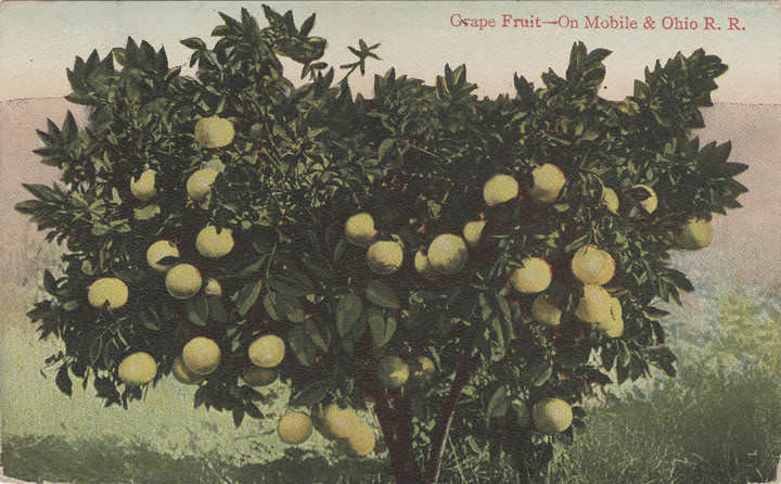
Agriculture and industry intersected at Mobile’s docks. Corn, grapes, and cotton moved through the port alongside industrial goods. Images show grain being loaded at river-front elevators, cotton being compressed in large warehouses, and fruit brought in by steamer from warmer climates. The Cotton Exchange and Chamber of Commerce building on the waterfront handled the business side of this trade, and the photographs of its exterior reflect the confidence of a city that saw itself as a major commercial hub for the Gulf South.
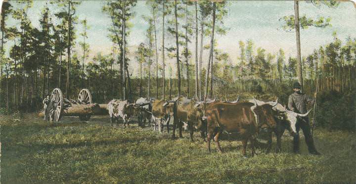
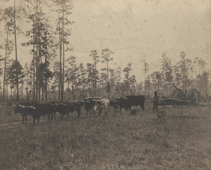
Mobile’s street scenes from the first decade of the 1900s capture the transition between the 19th and 20th centuries. Horses and wagons still shared the roads with early automobiles. An African American man was photographed driving a team of oxen pulling a wagon loaded with logs — a scene that shows how much of Mobile’s lumber industry relied on human and animal labor. Dauphin Street in 1903 shows a city street with electric wires strung overhead and commercial signage filling every storefront.
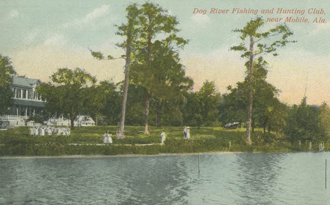
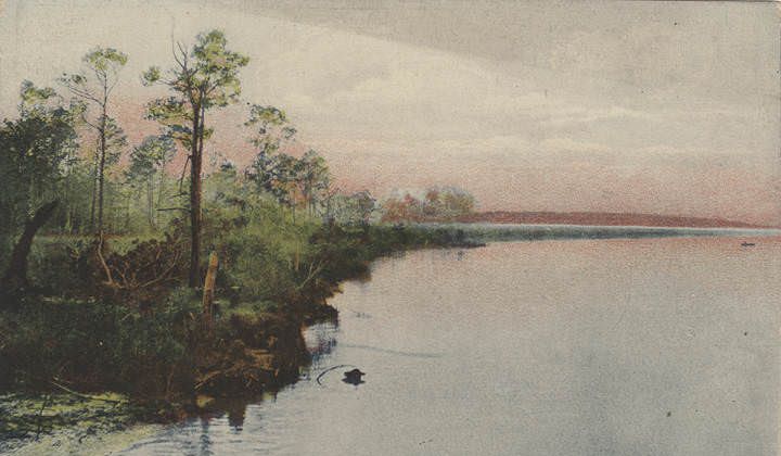
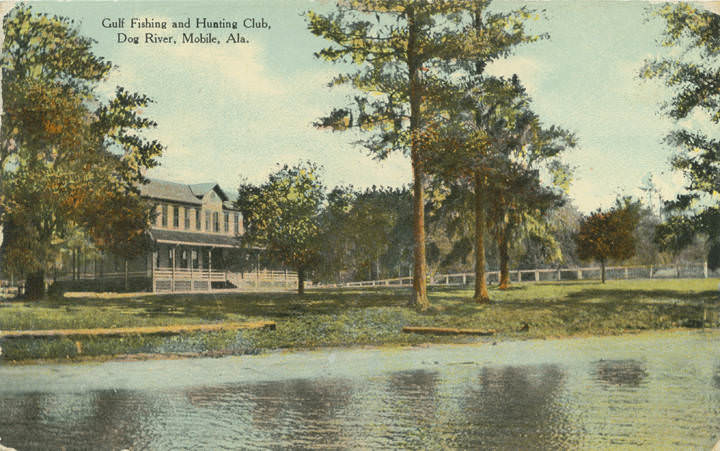
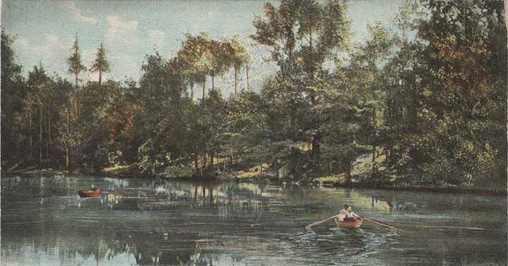
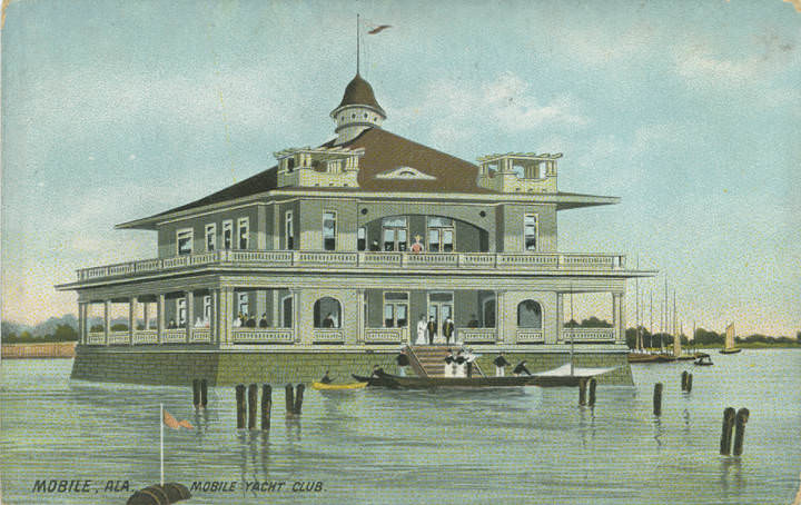
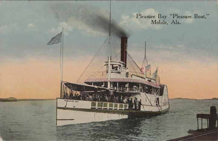
Dog River, located south of downtown, offered a quieter side of Mobile life. The Dog River Fishing and Hunting Club and the Gulf Fishing and Hunting Club both operated near its banks, drawing members who used the waterway for recreation. The river’s calm waters and wooded shoreline made it a popular escape from the city. These clubs were part of a broader leisure culture in Mobile that also included a golf club overlooking Mobile Bay, beach bathing at Rolston’s Hotel in Coden, and pleasure boats on the bay itself.
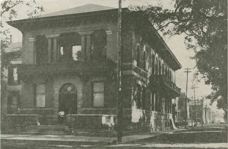
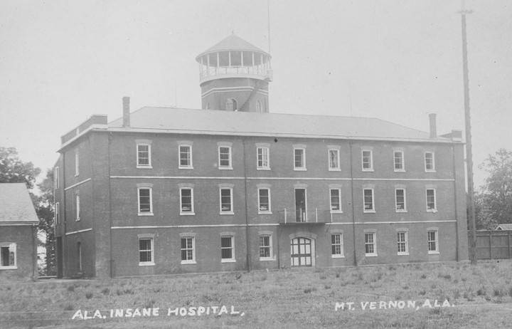
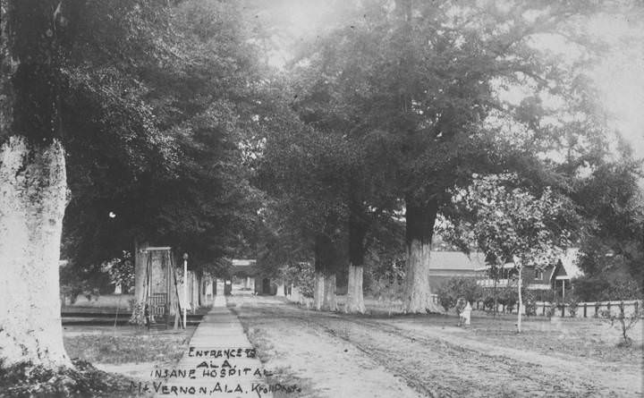
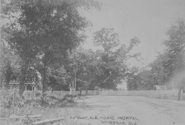
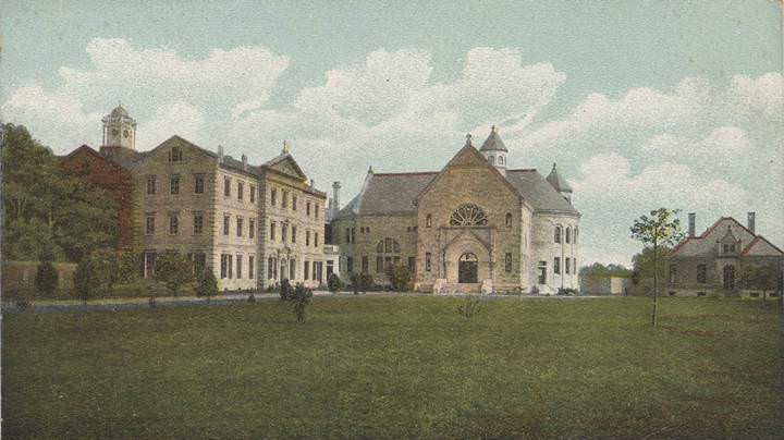
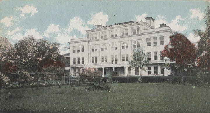
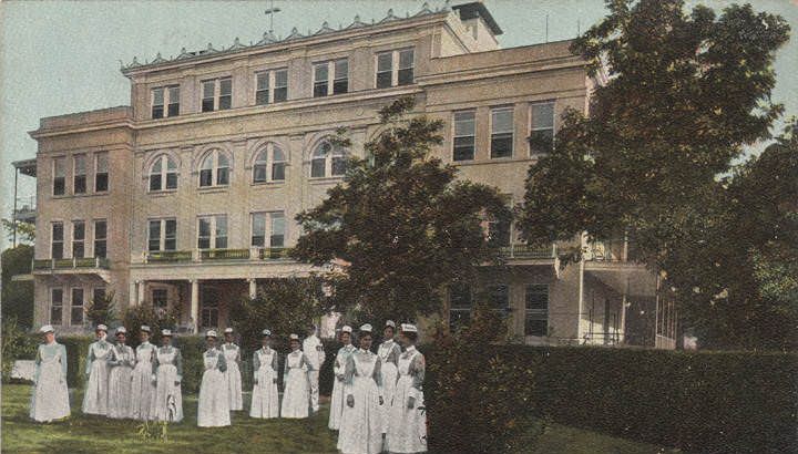
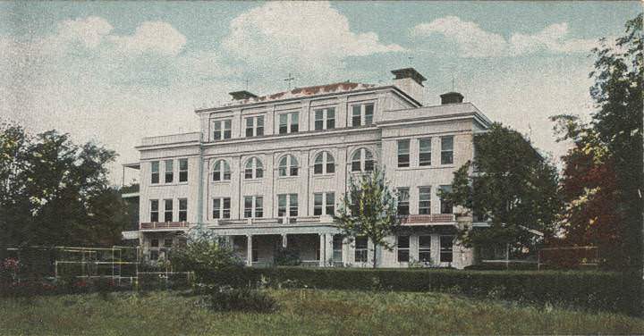
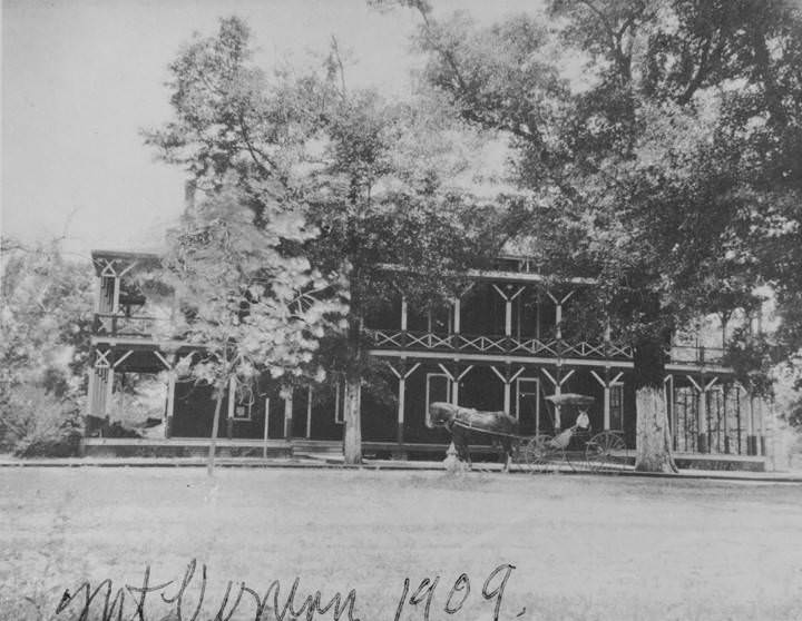
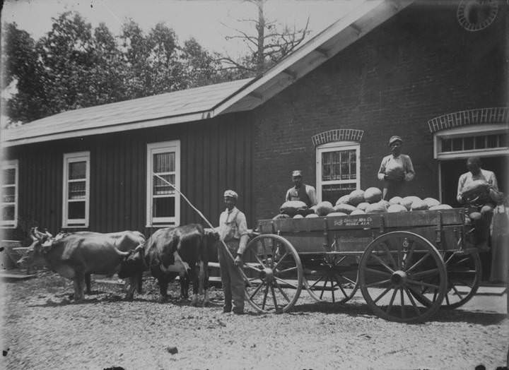
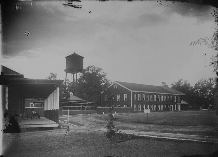
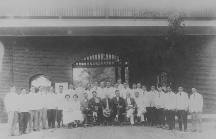
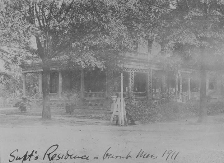
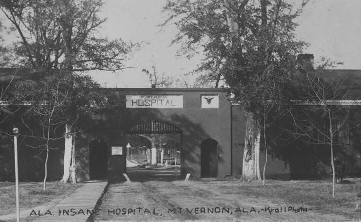
Mount Vernon, located in the northern part of Mobile County, was home to the Alabama Insane Hospital. Photographs from 1902 and earlier show the facility’s main buildings, entrance gates, staff quarters, and grounds. The superintendent’s residence was a substantial structure, and the campus included working agricultural land — one image shows a wagon loaded with watermelons grown on the hospital grounds. The institution housed hundreds of patients and was one of the largest facilities of its kind in Alabama at the time.
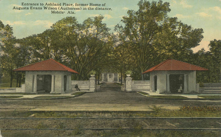
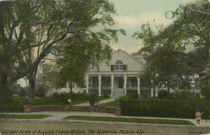
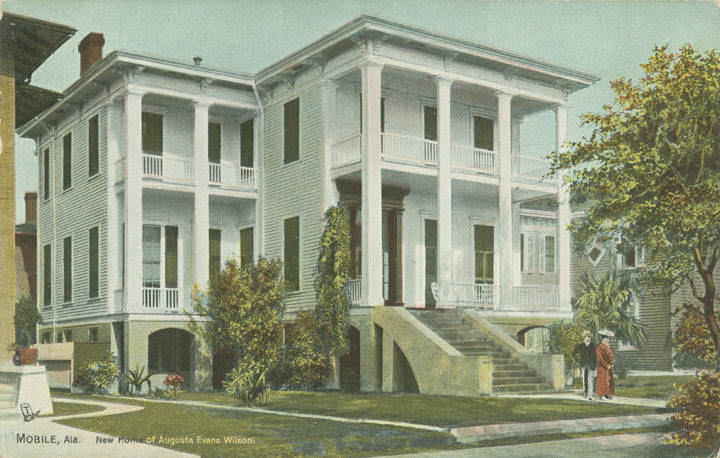
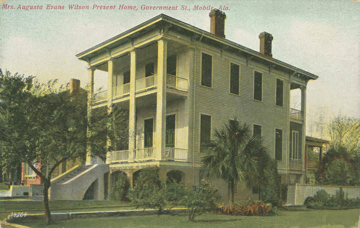
Augusta Evans Wilson, the novelist who wrote “St. Elmo” in 1866, was one of Mobile’s most celebrated residents. Her home on Spring Hill Avenue was photographed multiple times, and by 1909 she had moved to a new residence on Government Street. Her former home, known as Ashland Place, remained a landmark that photographers documented well into the next decade. Wilson had died in 1909, but her reputation as one of the most widely-read American female authors of the 19th century kept her Mobile homes part of the city’s cultural memory.
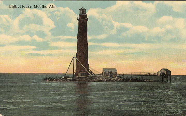
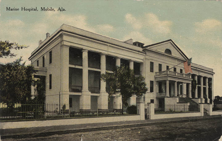
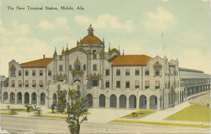
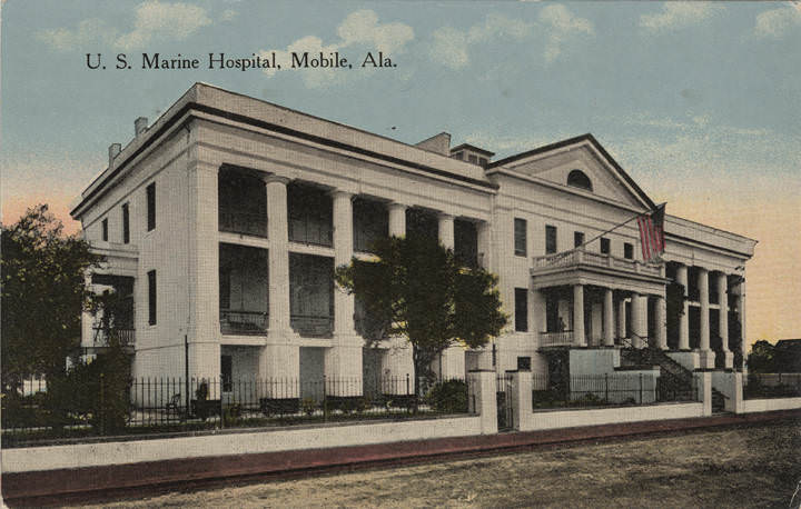
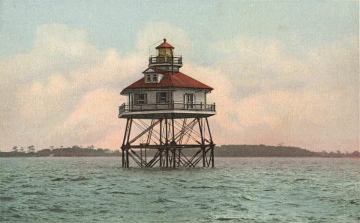
Mobile’s waterfront was dotted with infrastructure that supported its shipping trade. The Middle Bay Lighthouse stood in the middle of the bay, warning vessels away from shallow water. A Marine Hospital on the waterfront provided care for sailors and merchant mariners. The Fruit Company’s docks in 1902 show a specialized terminal built to handle the banana trade that was already well established by that point. The New Terminal Station, photographed in 1907, reflected the city’s investment in rail connections that tied Mobile’s port to the broader Southern rail network.
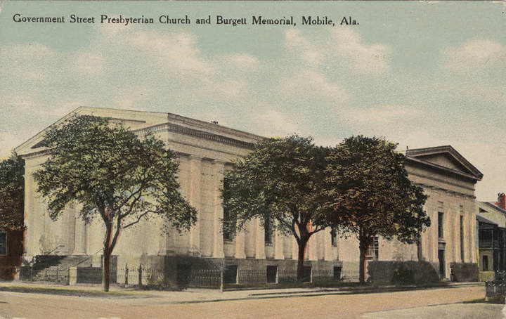
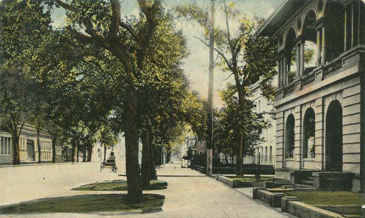
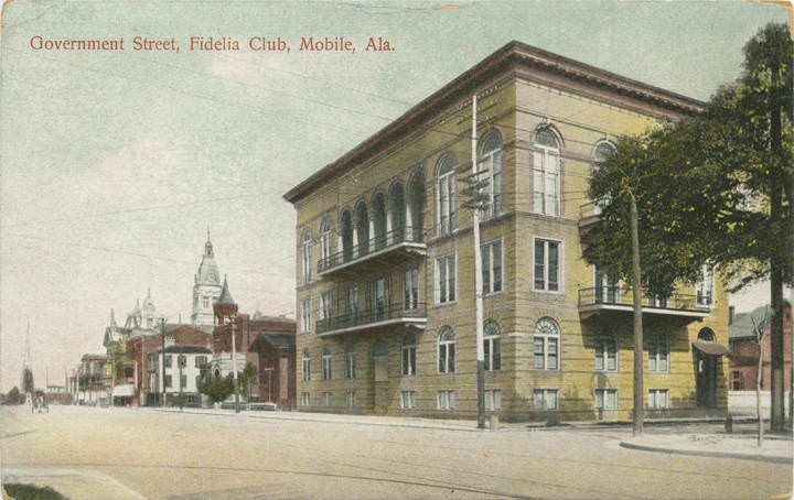
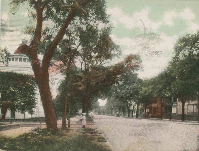
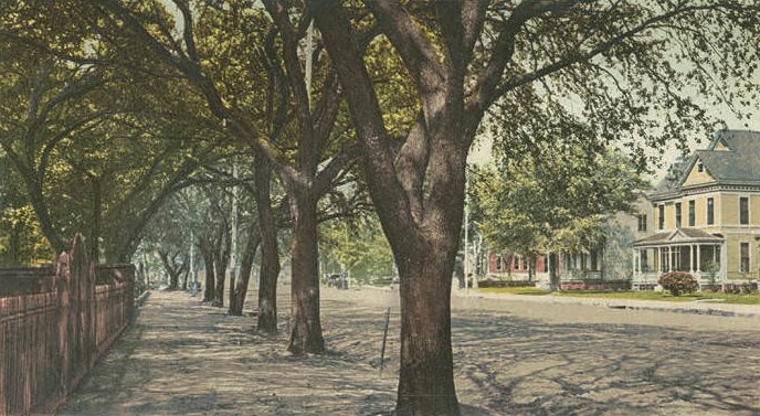
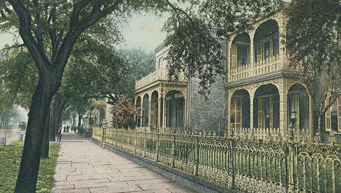
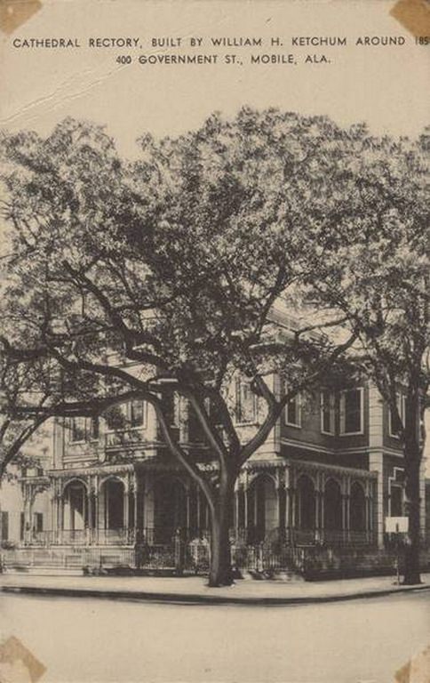
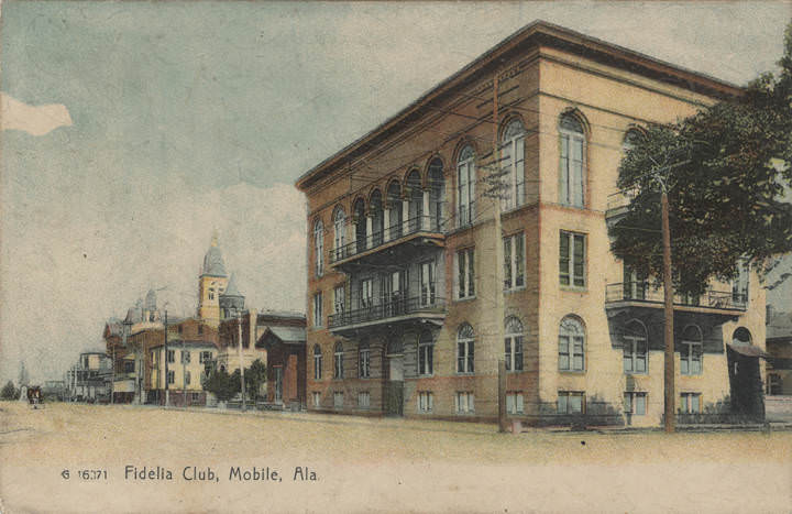
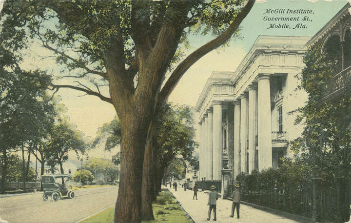
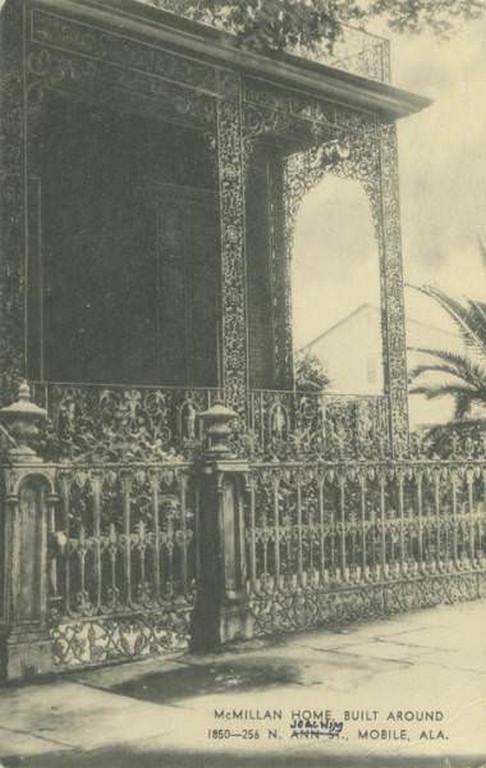
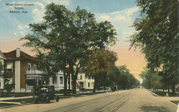
Government Street was Mobile’s grandest address. Lined with churches, clubs, private homes, and institutional buildings, it stretched from the waterfront westward toward Spring Hill. The Fidelia Club, the Government Street Presbyterian Church, McGill Institute, and several notable private residences all faced this corridor. The McMillan Home, built around 1850 at 256 N. Joachim Street, and the Cathedral Rectory built by William H. Ketchum around the same period were both still standing and photographed in these years, representing an older Mobile that survived into the new century.
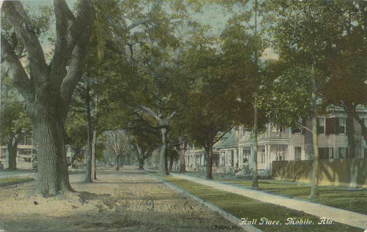
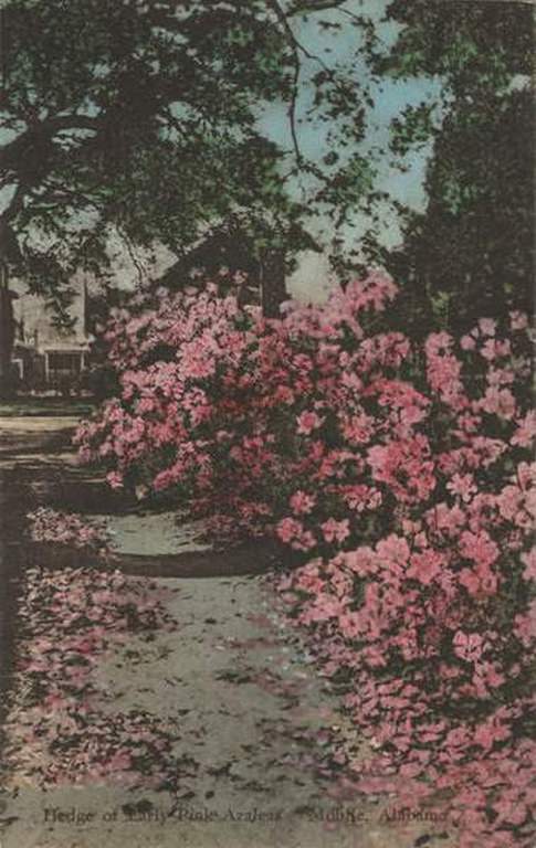
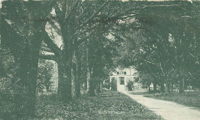
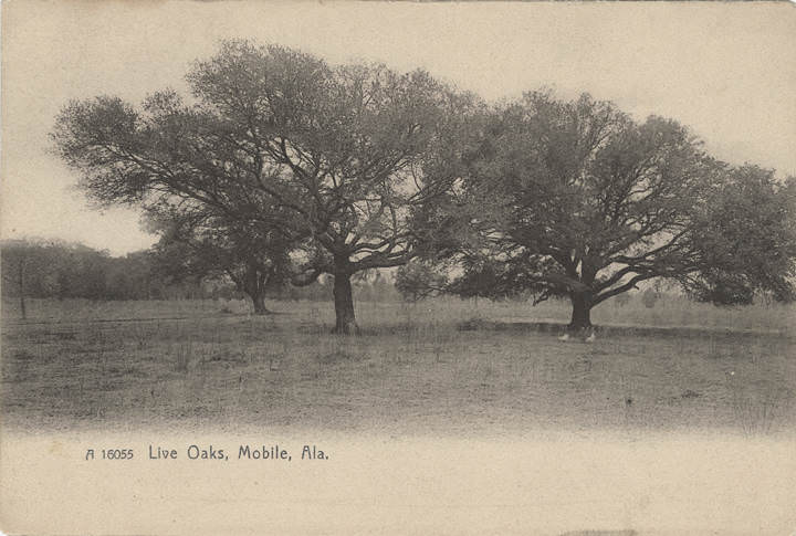
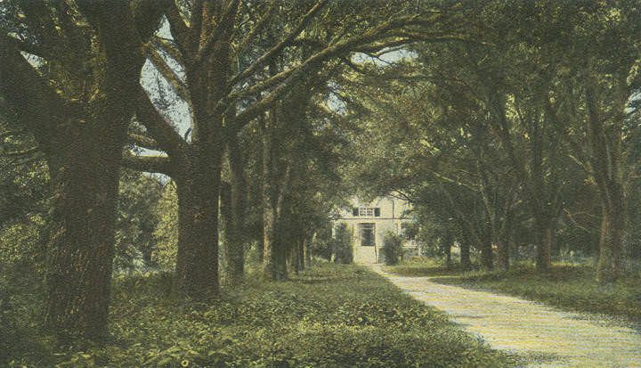
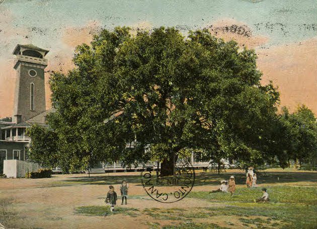
Azaleas were already a defining visual feature of Mobile by 1901. A photograph from that year shows a thick hedge of early pink azaleas in bloom, the kind of scene that would eventually make the city famous for its spring flowers. Live oaks were equally iconic — one photograph documents a single live oak spreading more than 100 feet across, the kind of tree that took centuries to grow and gave Mobile’s neighborhoods their distinctive canopy. These natural features framed even the most industrial corners of the city.
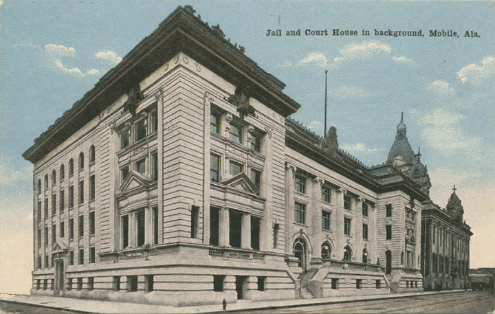
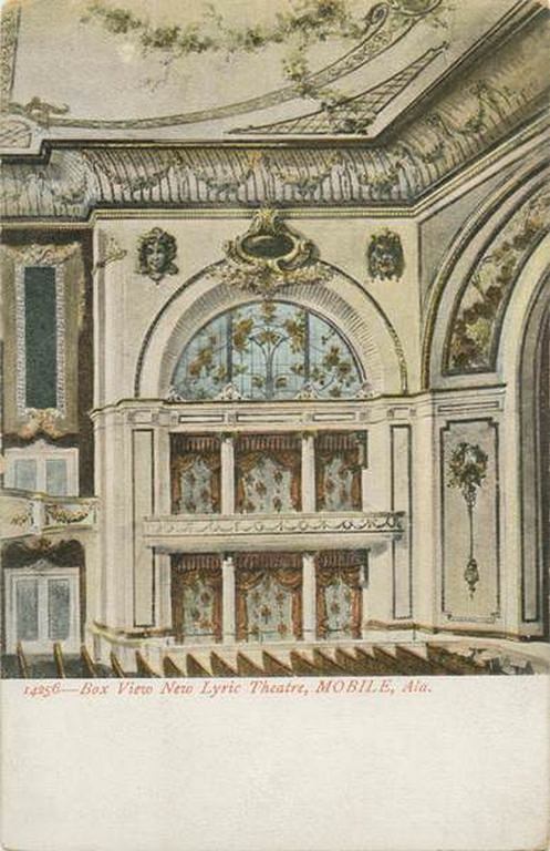
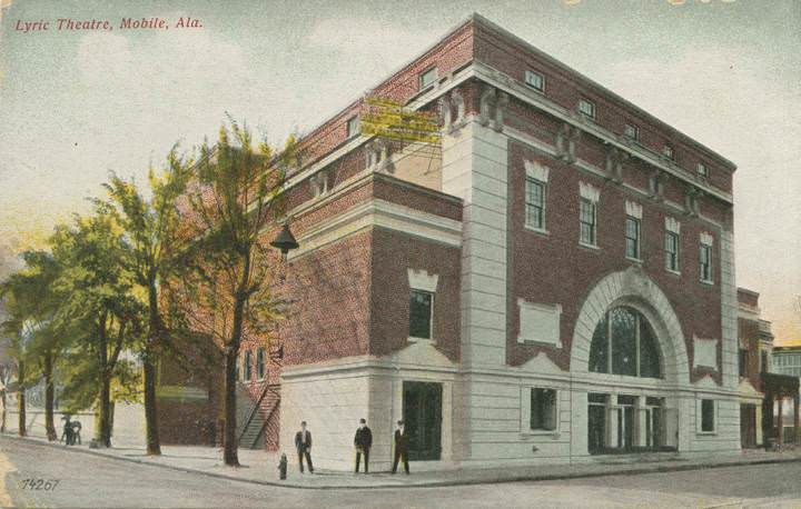
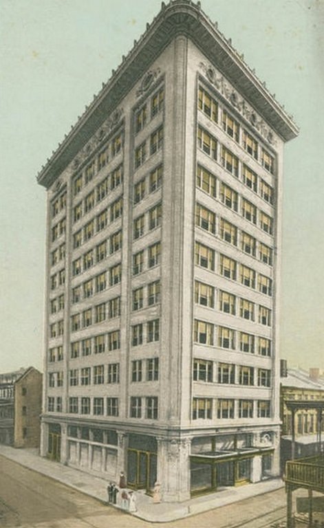
In 1911, Mobile adopted the commission form of government, replacing the older aldermanic system. The city also expanded its streetcar and telephone service during these years, building the infrastructure of a modern early-20th-century city. The Van Antwerp Building, photographed in 1907, showed the kind of multi-story commercial architecture that was beginning to define the downtown skyline. The New Lyric Theatre and the new Terminal Station were further signs that Mobile was investing in its public and commercial spaces.
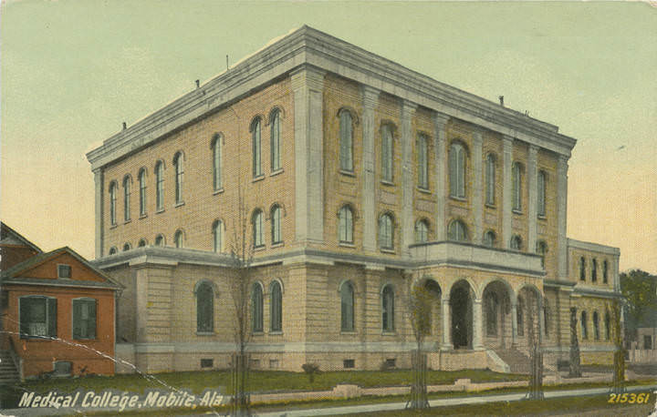
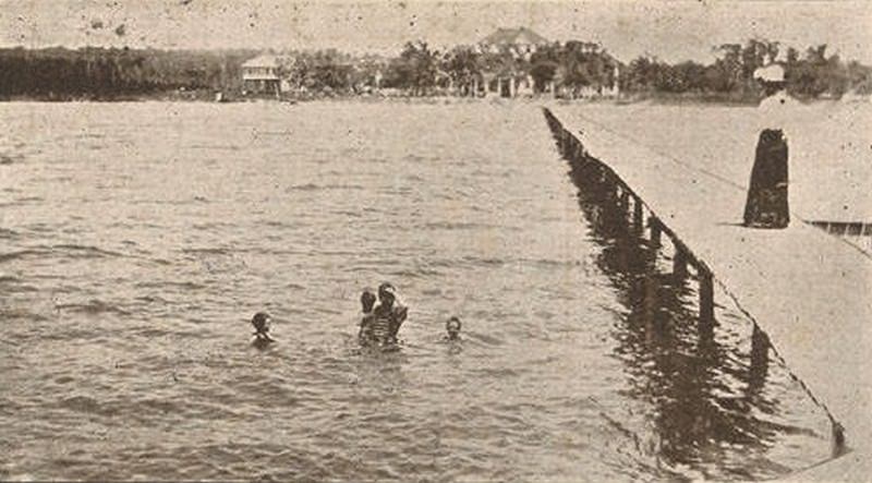
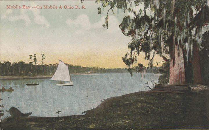
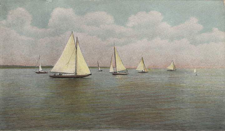
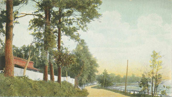
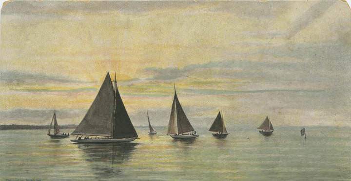
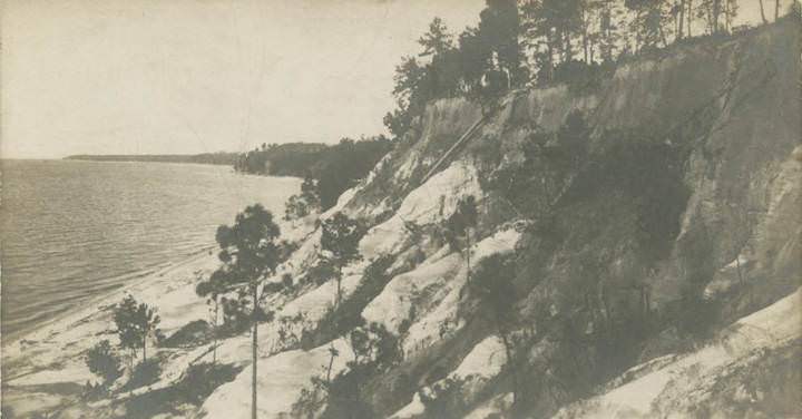
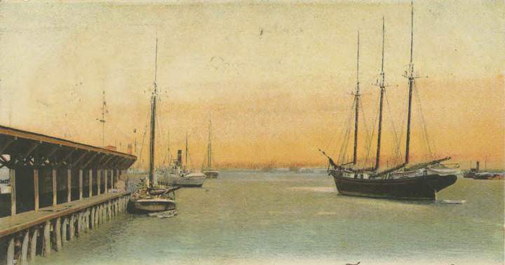
Mobile Bay itself was a subject worth photographing in the early 1900s. Sunrise views from the shore, sailboats crossing the water, and steamers navigating the channel all appeared in images of the era. The Mobile Country Golf Club had a course overlooking the bay. Sea Cliff, Alabama, on the eastern shore across the bay, was captured in a 1906 photograph showing the distant treeline against the water. The bay was central to every part of Mobile’s life — commerce, recreation, military strategy, and natural disaster all arrived or departed across its surface.
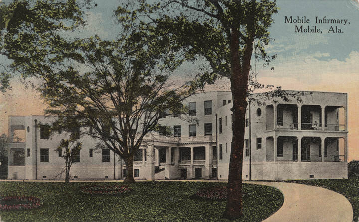
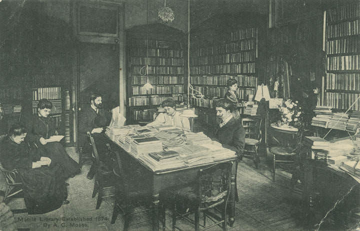
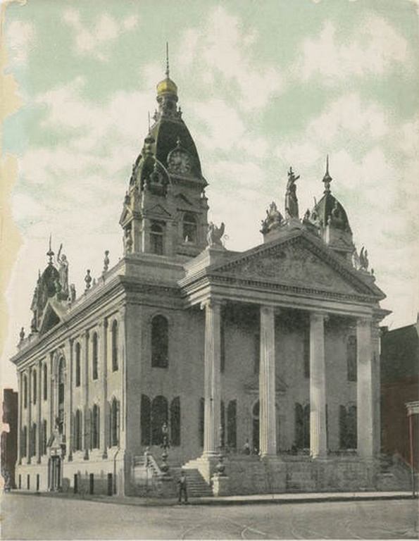
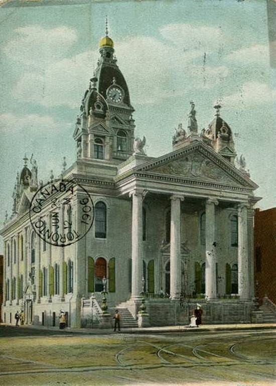
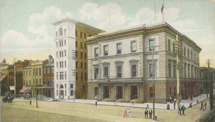
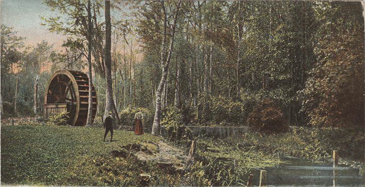
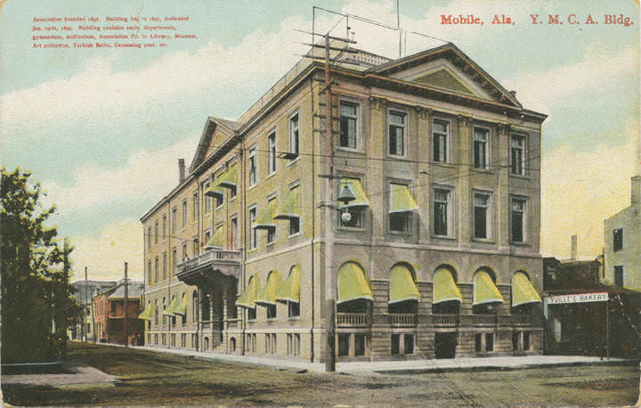
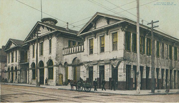
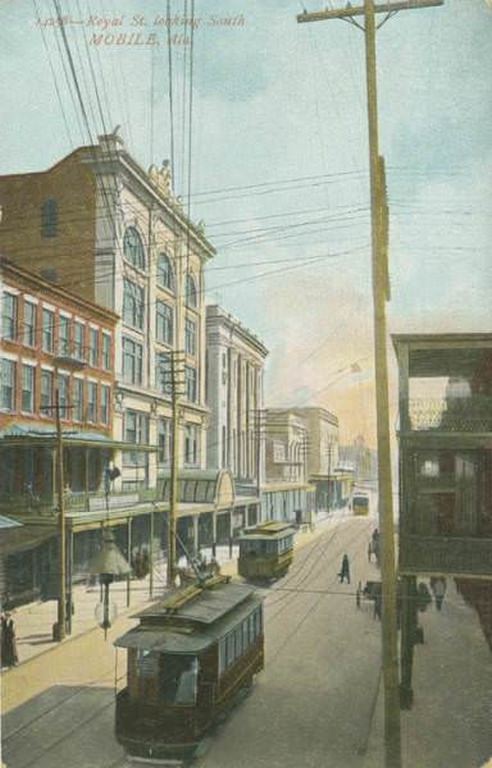
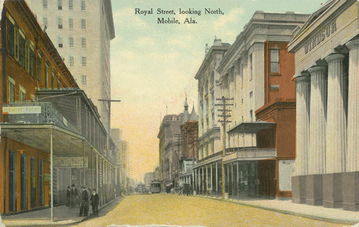
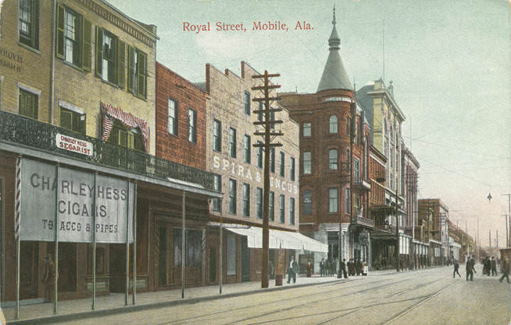
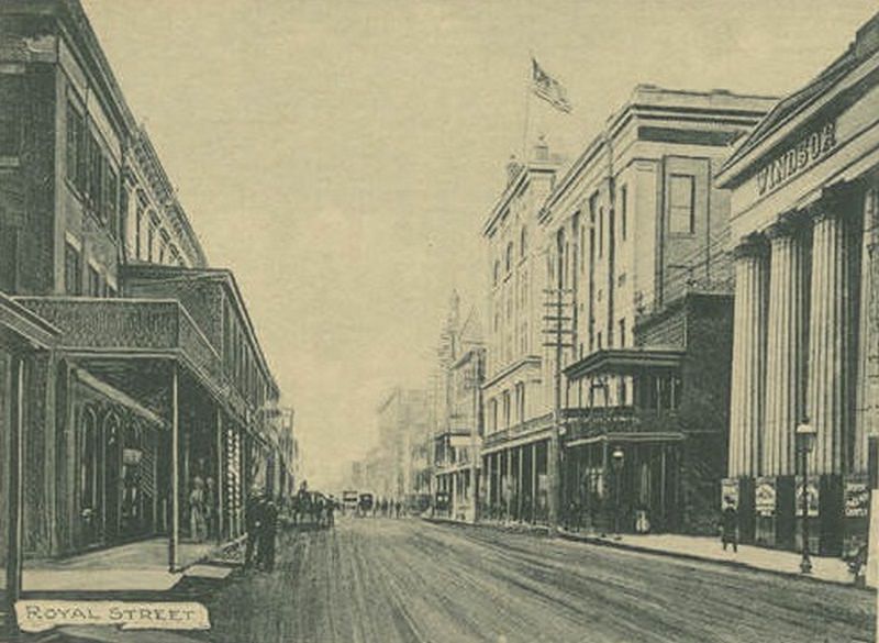
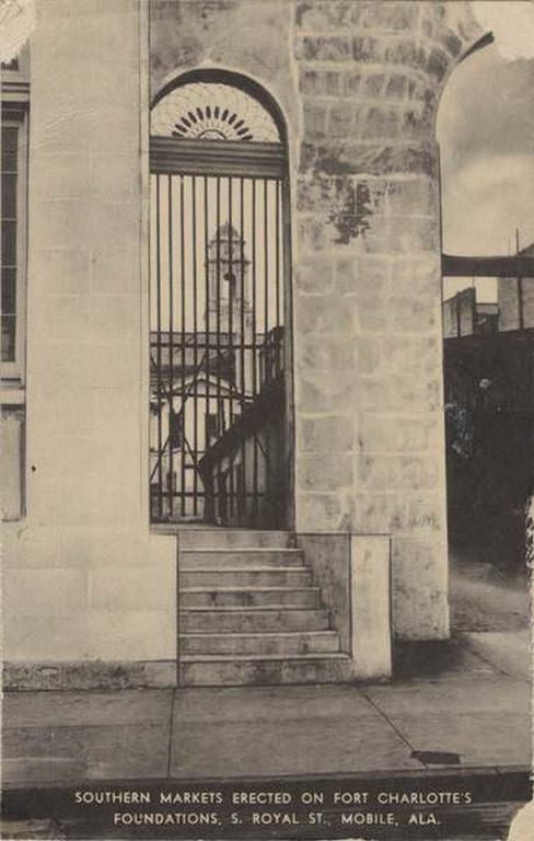
Royal Street, photographed in 1908 looking both north and south, shows a downtown corridor that was dense with commercial and civic activity. The Old Market House on South Royal Street stood on the foundations of Fort Charlotte, the old British and then American military fortification. It had been converted into the Southern Markets, making it one of Mobile’s oldest continuously used public sites. The post office on the same stretch reinforced Royal Street’s role as the backbone of downtown Mobile’s public life.
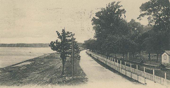
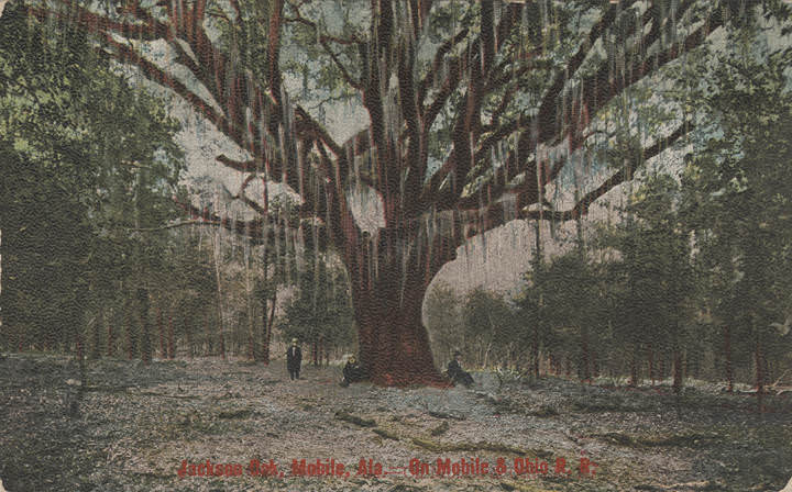
Some of Mobile’s most unusual structures also found their way into the photographic record. S. Lossing’s home, built entirely of oyster shells, stood as a curiosity worth documenting. The Jackson Oak — a massive tree associated with Andrew Jackson’s time in Mobile — was another landmark that photographers recorded. The shell roads themselves, crushed oyster shells packed into firm driving surfaces, were a distinctly Gulf Coast solution to road-building and became one of Mobile’s signature scenic attractions for early motorists and cyclists.
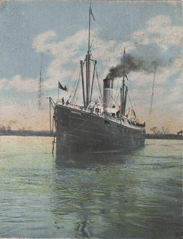
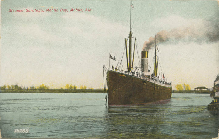
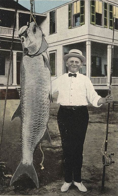
Trade with Cuba and Latin America was visible in Mobile’s harbor in these years. The Steamer Saratoga was photographed both in Mobile Bay and in transit between Havana and Mobile in 1906, showing how closely Mobile was tied to Caribbean commerce. Tarpon fishing at Coden, the small coastal community south of the city, drew sport fishermen from across the region. A 1906 photograph shows a large tarpon caught in the waters near Coden, a sign of both the bay’s natural abundance and the leisure culture that had grown around it.
Downtowns and industrial areas are always the focus of everything historical. It would be interesting to see what Theodore and Prichard looked like in the early 1900s.
No clue where “Bay Steel Road” was
I believe it’s a typo, should be Bay Shell Road. h
I think it was down on the bay between current brookley field and where DIP crosses dog river