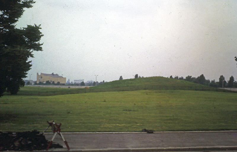
In 1969, East Berlin was the official capital of the German Democratic Republic — a city still carrying deep scars from World War II while also being rebuilt under communist rule. The Soviet sector had been carved out in 1945, and by 1961, the Berlin Wall had sealed it off from the western half of the city. These rare color photographs offer a ground-level view of what East Berlin looked like that year, from its grand old landmarks to its half-repaired streets.
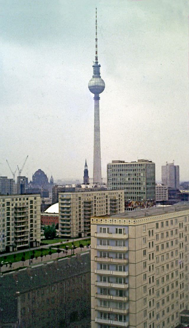
The city’s skyline in 1969 was a mixture of historic architecture and Soviet-era construction. Cranes and new apartment blocks rose alongside centuries-old buildings, many of which still bore the marks of wartime bombing. The GDR was actively reshaping the city’s look to reflect its political identity.
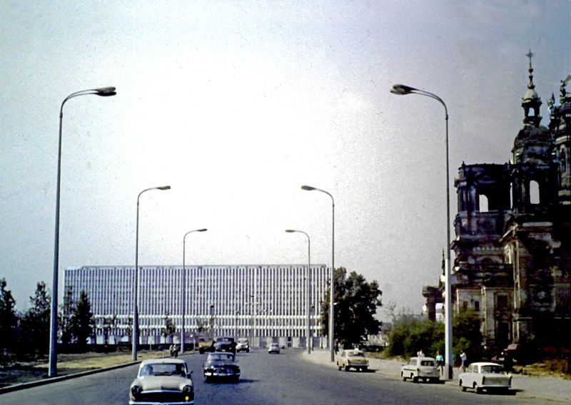
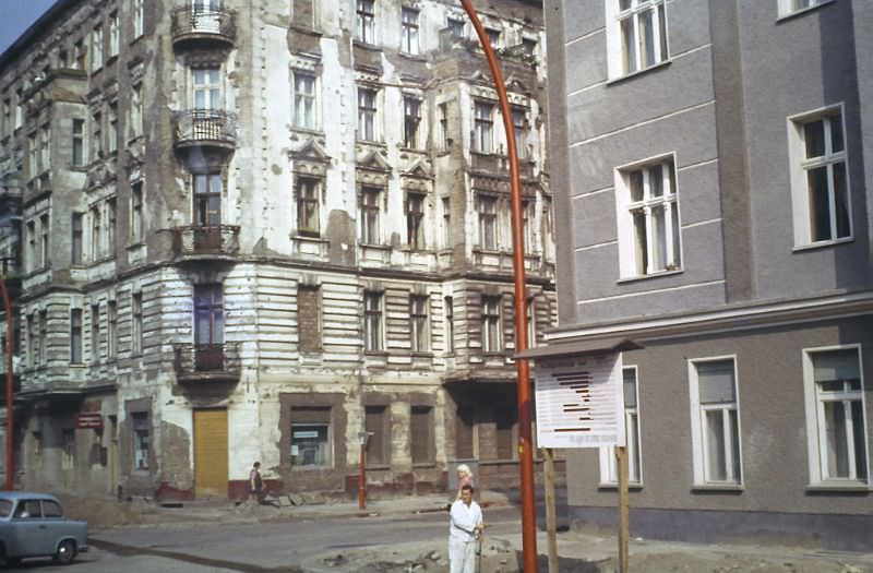
Twenty-four years after the war ended, bomb damage was still visible across East Berlin. Entire blocks remained unrestored, with crumbling facades and empty lots where buildings once stood. The pace of reconstruction was uneven — some areas had been fully rebuilt, while others were left largely untouched.
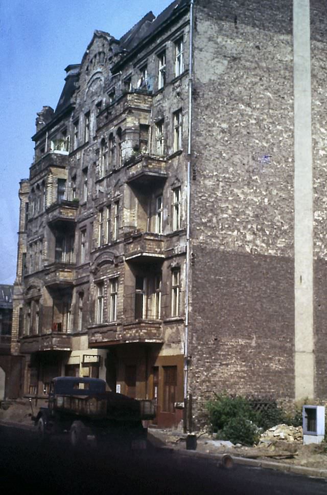
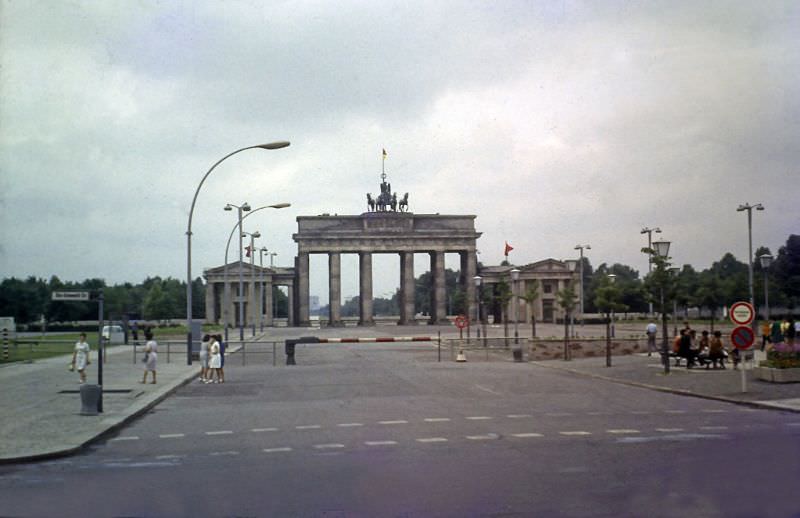
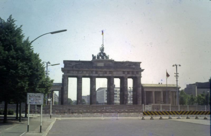
The Brandenburg Gate stood at the heart of the divided city. From the eastern side, it sat just behind the Wall, inaccessible to most Berliners and a constant reminder of the division. Western Allies refused to recognize East Berlin as the GDR’s legitimate capital, but the Gate remained a powerful symbol claimed by both sides.
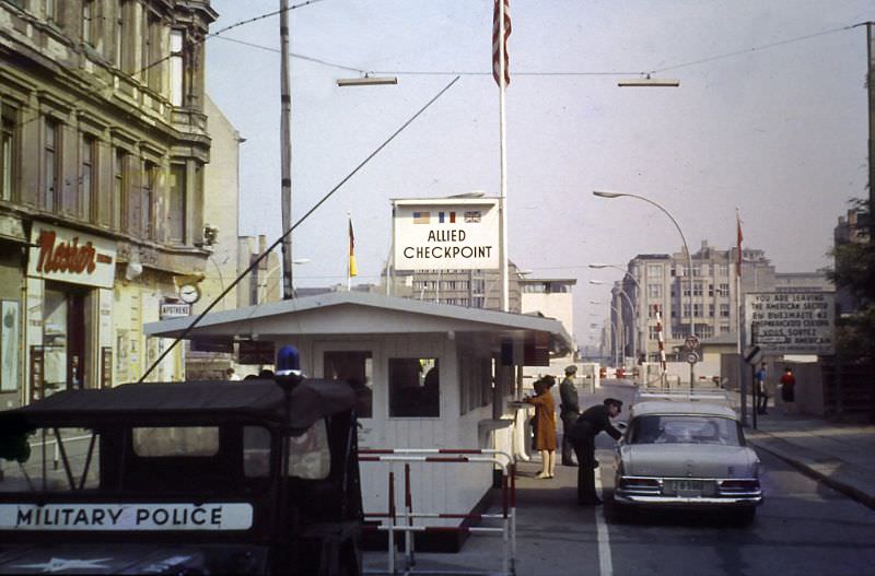
Checkpoint Charlie was the most well-known crossing point between East and West Berlin. By 1969, it had already witnessed numerous escape attempts, standoffs, and international incidents. The checkpoint was used primarily by foreign nationals and diplomats, not ordinary East German citizens.
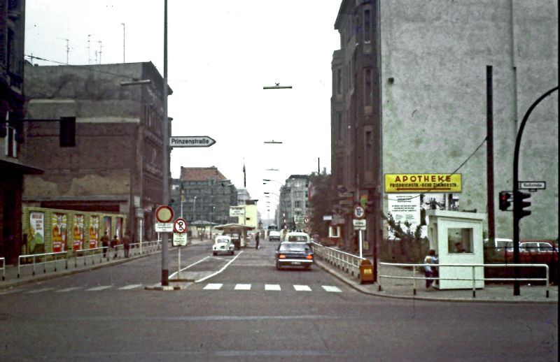
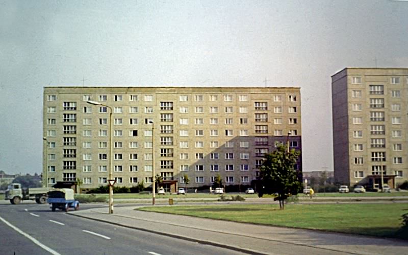
Housing in East Berlin ranged from newly built prefabricated apartment blocks to flats that had been only partially repaired after wartime destruction. Some buildings showed a stark patchwork of old damage and fresh repair work side by side.
The House of the Teacher, completed in 1964, was one of the GDR’s showcase buildings. It featured a distinctive mosaic frieze wrapping around its exterior, depicting socialist ideals of education and progress. Buildings like this were designed to project the strength and ambition of the East German state.
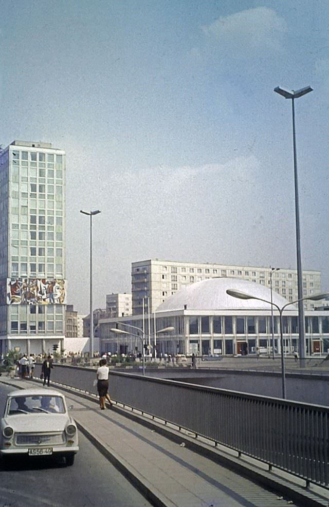
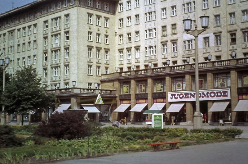
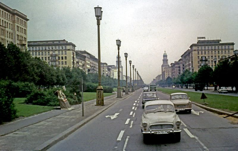
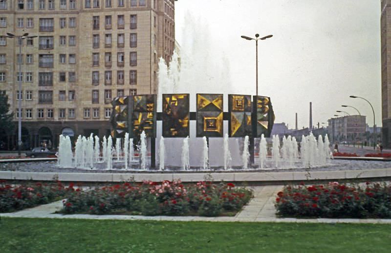
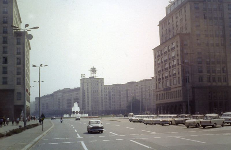
Karl Marx Allee was East Berlin’s grand showcase boulevard, stretching wide through the city with socialist realist architecture lining both sides. Built in the early 1950s, the street was designed to impress. Its shops and apartment buildings were among the most well-maintained in the city.
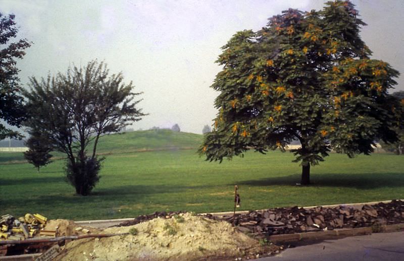
Near Wilhelmstraße, open stretches of land remained where the Imperial Chancellery — the Reichskanzlerei — had once stood. The ruins had been cleared, but nothing was built in their place. This emptiness was both a physical and political statement about the Nazi past the GDR sought to distance itself from.
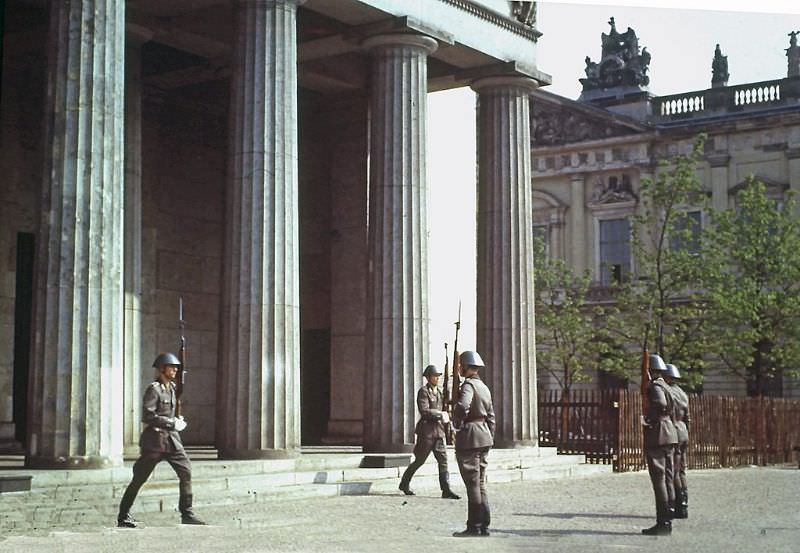
The Neue Wache on Unter den Linden served as a state memorial under the GDR. The East German Volksarmee — the National People’s Army — performed a formal changing of the guard ceremony there, a ritual that underscored the state’s use of historical sites for political ceremony.
New residential construction was a priority for the GDR government. Prefabricated concrete apartment buildings — known as Plattenbau — were going up across East Berlin to address housing shortages. These blocks were functional but uniform, built for efficiency over aesthetics.
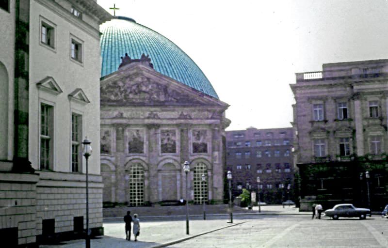
St. Hedwig’s Cathedral, the only Roman Catholic cathedral in East Berlin, had been heavily damaged in the war and was rebuilt and reconsecrated in 1963. Its circular neoclassical form made it one of the more distinctive religious buildings still standing in the city.
Strausberger Platz marked the western end of Karl Marx Allee. Its central fountain and circular layout made it one of the more recognizable public spaces in East Berlin, surrounded by the tiered socialist realist apartment towers built in the 1950s.
The Brandenburg Gate appeared throughout the city’s visual landscape, even as it remained physically off-limits. Seen from different angles and distances, it represented the dividing line that cut through Berlin’s history and geography alike.
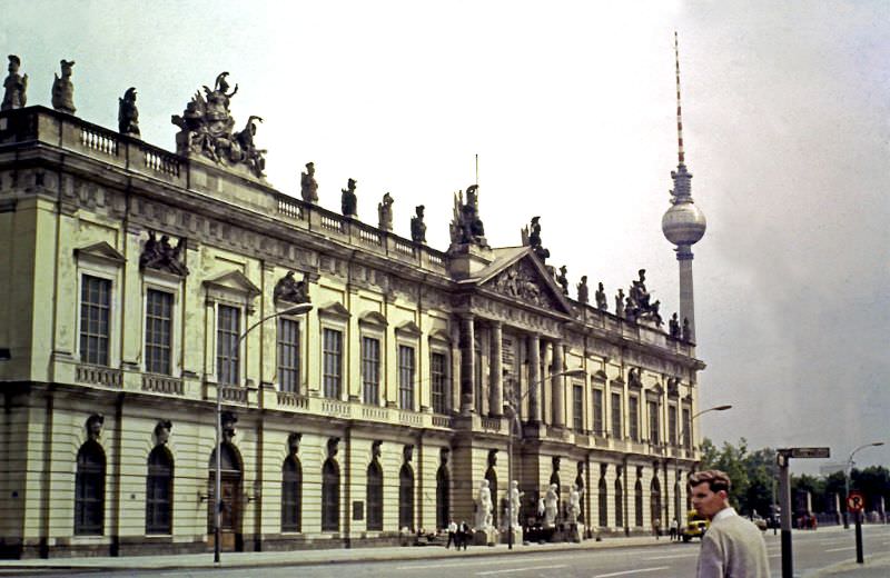
The former Arsenal building on Unter den Linden, one of the oldest buildings in the city center, was functioning as the German Historical Museum by this period. Its ornate baroque exterior contrasted sharply with the modernist buildings the GDR was constructing nearby.
The former Prussian House of Commons was another historic structure that survived the war and continued to serve an institutional function under the GDR. These older buildings coexisted uneasily with the new socialist architecture being built around them.
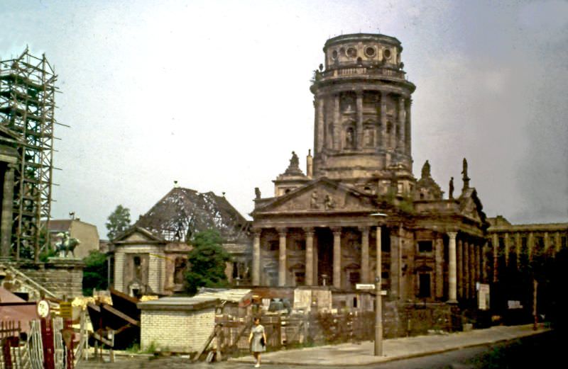
The French Cathedral on Gendarmenmarkt was one of two near-identical cathedrals flanking the Konzerthaus. Built in the early 18th century, it had sustained war damage but remained standing. In 1969, restoration work on Gendarmenmarkt was still years away from completion.
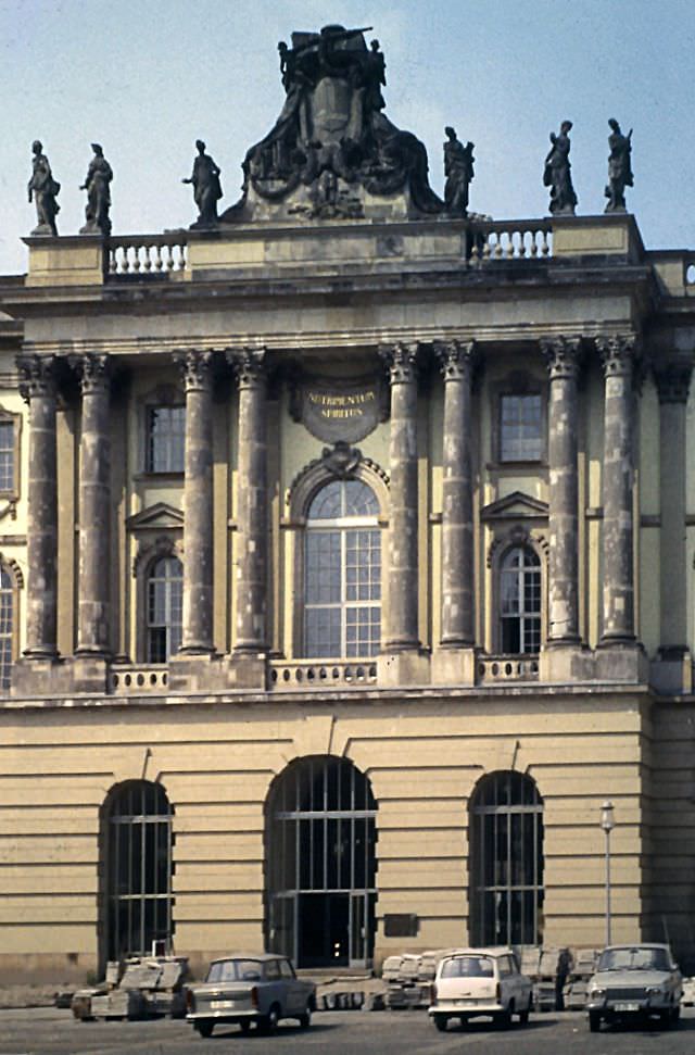
The Old Library, known as the Kommode for its curved baroque facade, had been repurposed as the Faculty of Law for Humboldt University. It sat directly on Bebelplatz, the same square where Nazi book burnings had taken place in 1933.
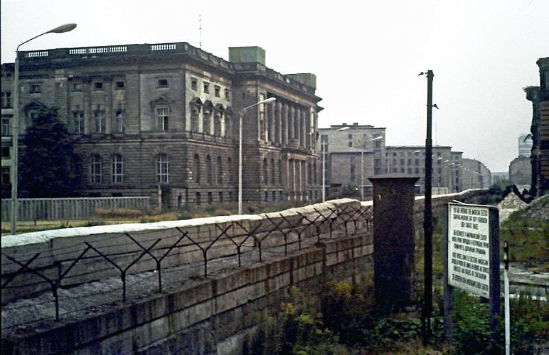
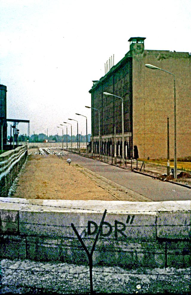
The Berlin Wall at Stresemannstraße was a concrete reality that cut through neighborhoods, streets, and lives. Along stretches like this one, the Wall was not just a barrier but a fortified zone — with death strips, watchtowers, and armed guards on the eastern side.
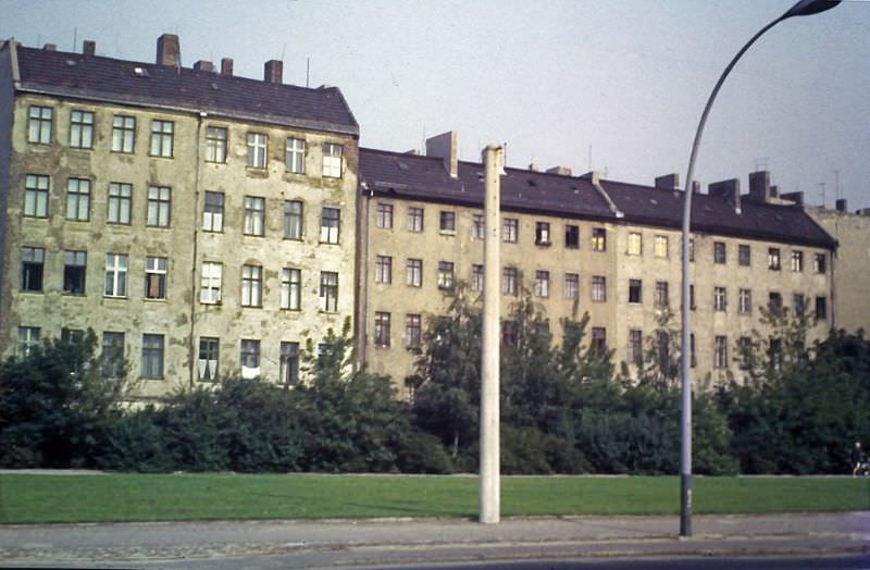
Not all residential buildings in East Berlin had been repaired by 1969. Unrestored flats still showed bullet holes, shell damage, and deteriorating walls — physical evidence that the city was still living with the consequences of a war that had ended more than two decades earlier.
Unter den Linden — literally “under the linden trees” — was East Berlin’s most prominent boulevard, running from the Brandenburg Gate toward the city center. In 1969, it was lined with diplomatic buildings, cultural institutions, and Soviet-era additions, giving it a layered and complex character.
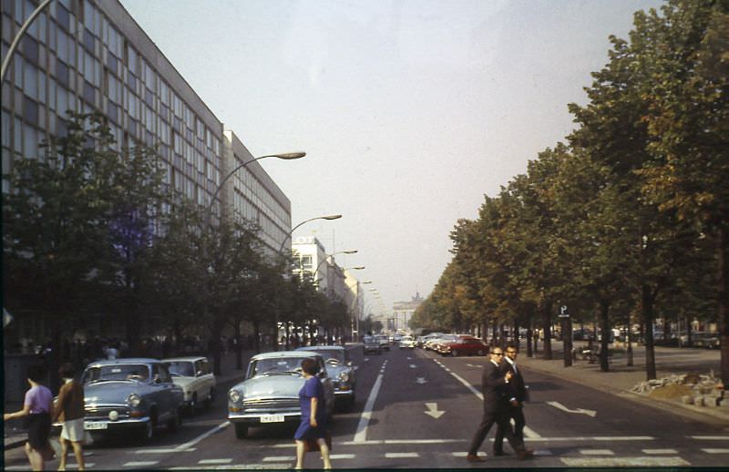
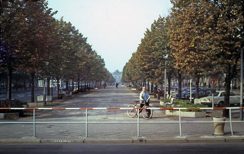
Looking toward Wilhelmstraße and the Philharmonie, this view captured one of the many points where East and West Berlin’s diverging urban development was most visible. The Wall divided not just people but entire architectural histories, leaving each side to develop in isolation for nearly three decades.