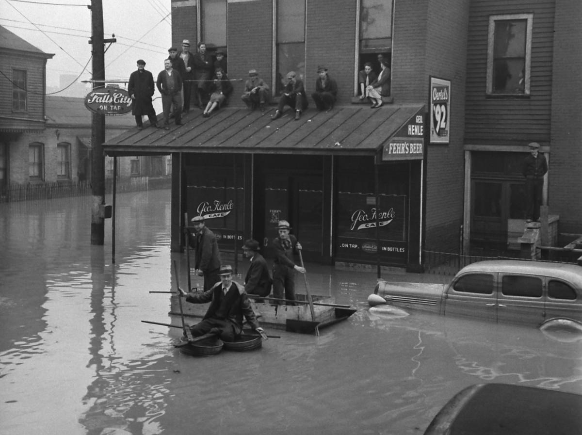
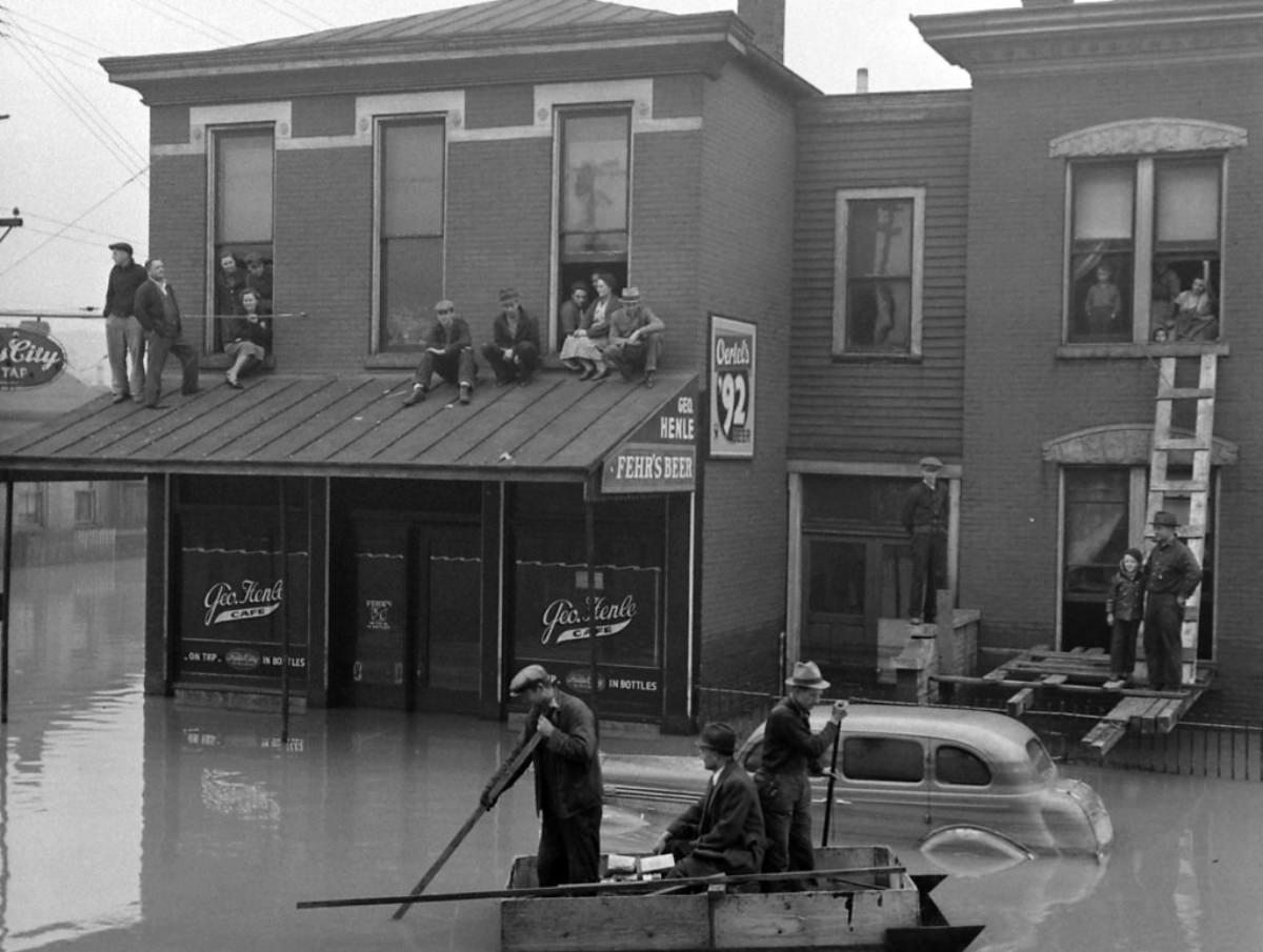
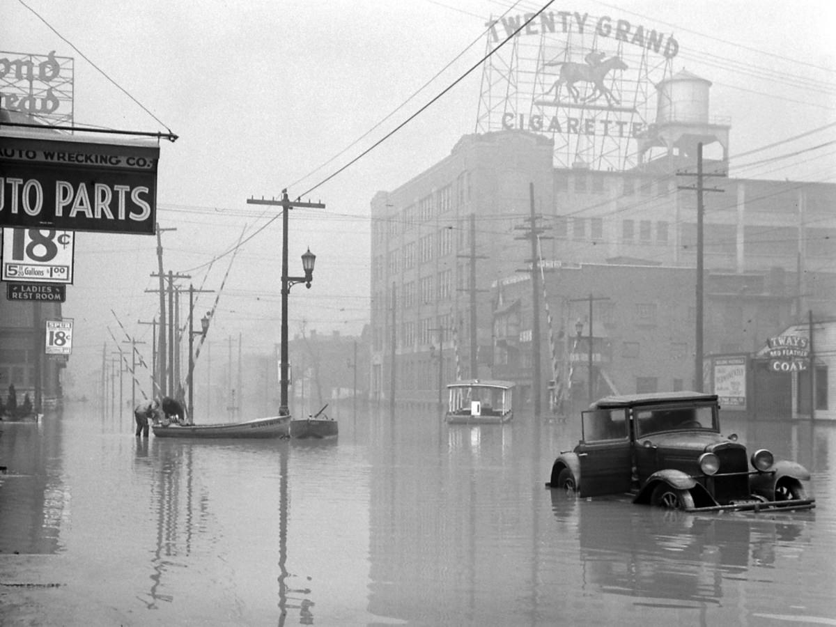
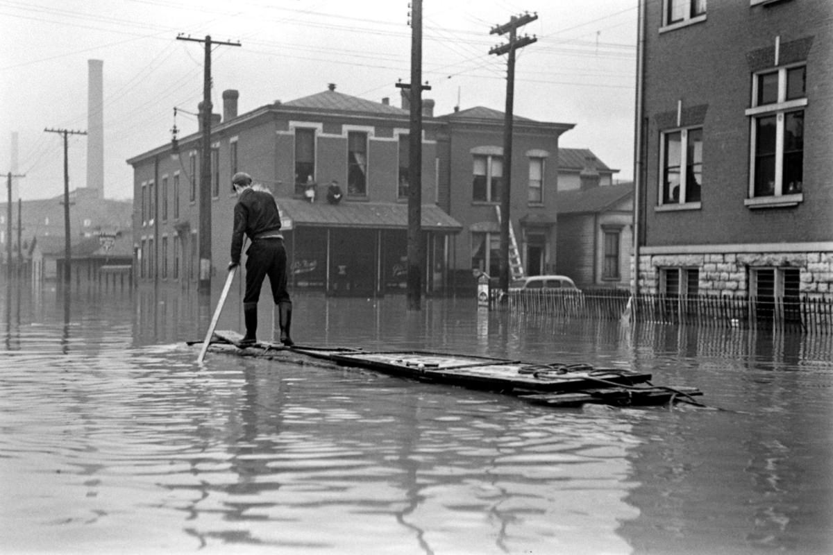
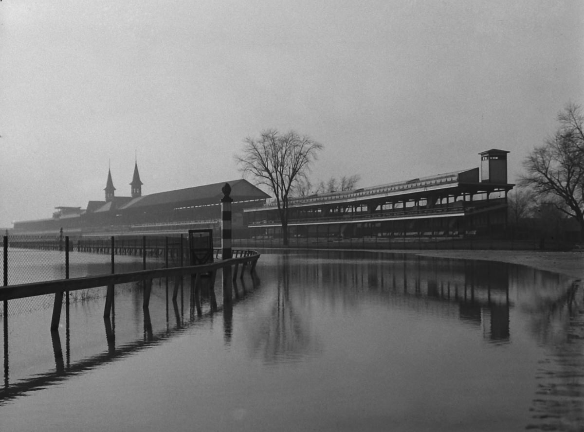
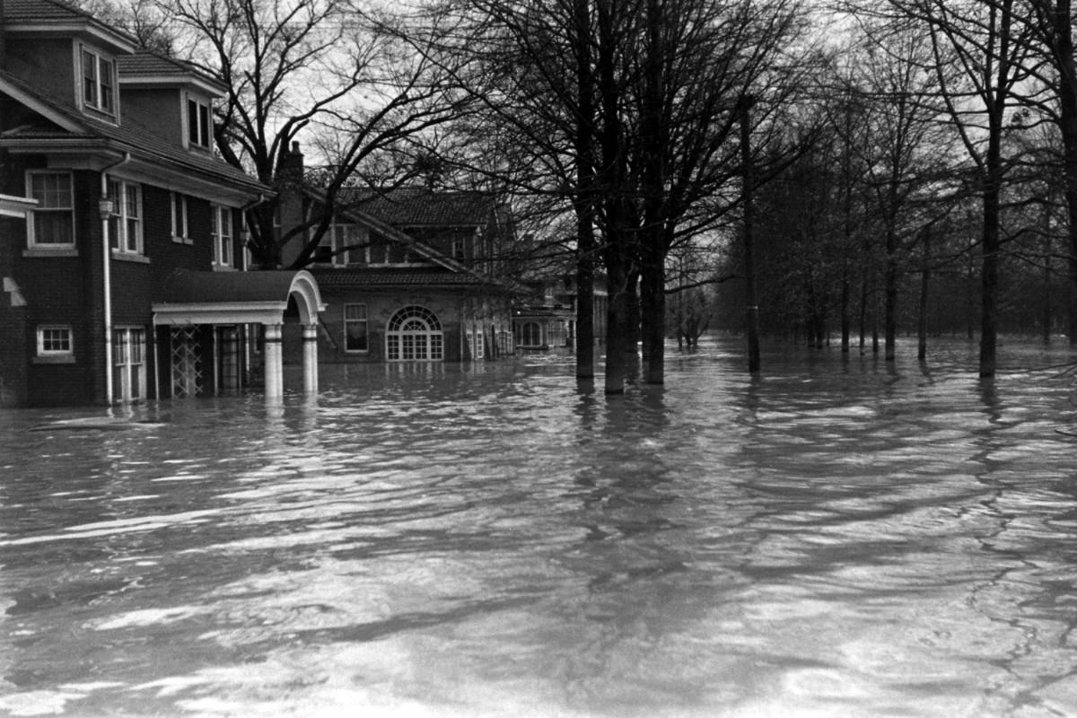
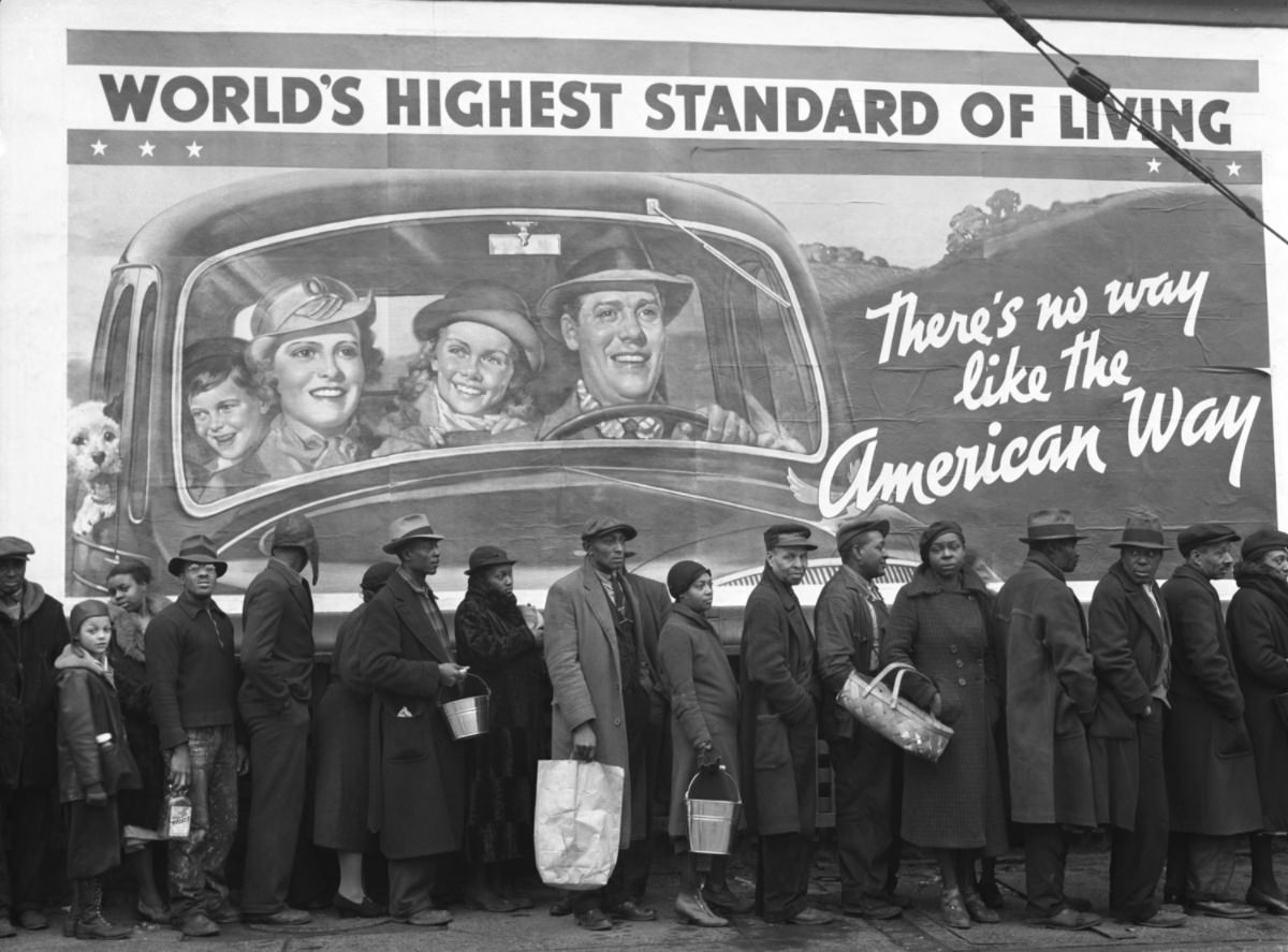
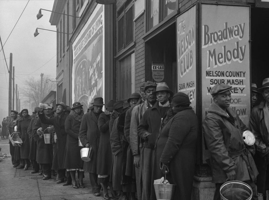
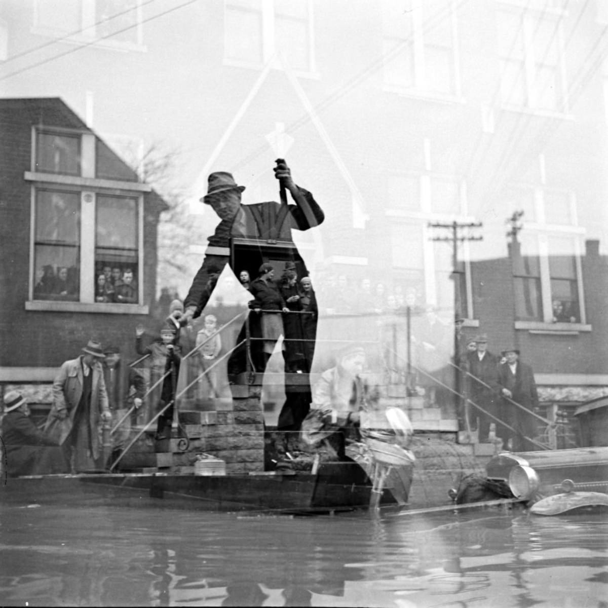
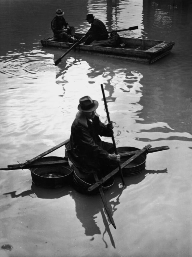
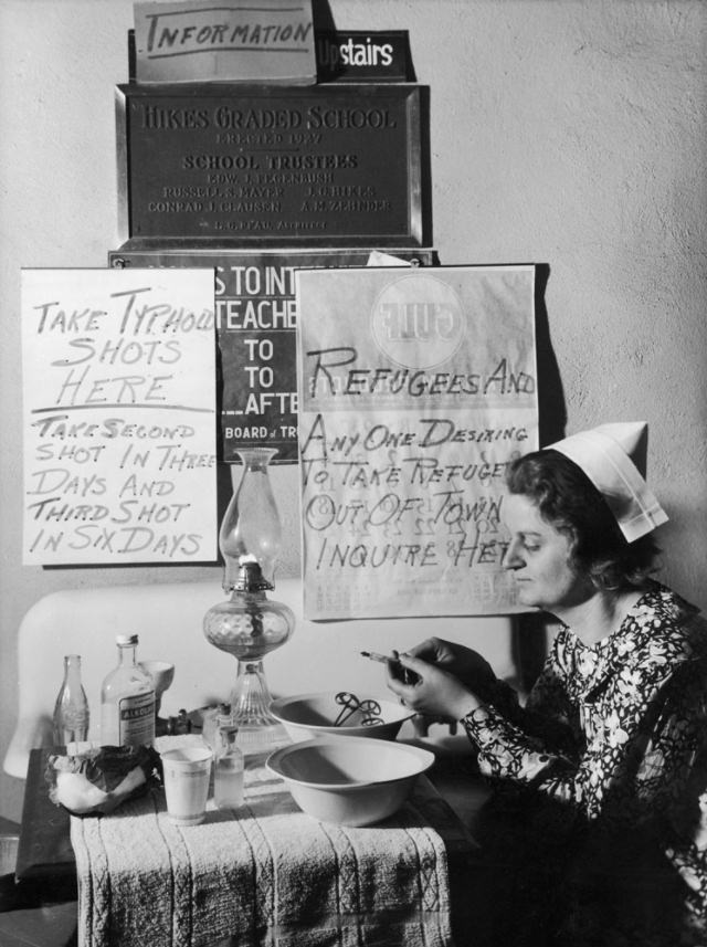
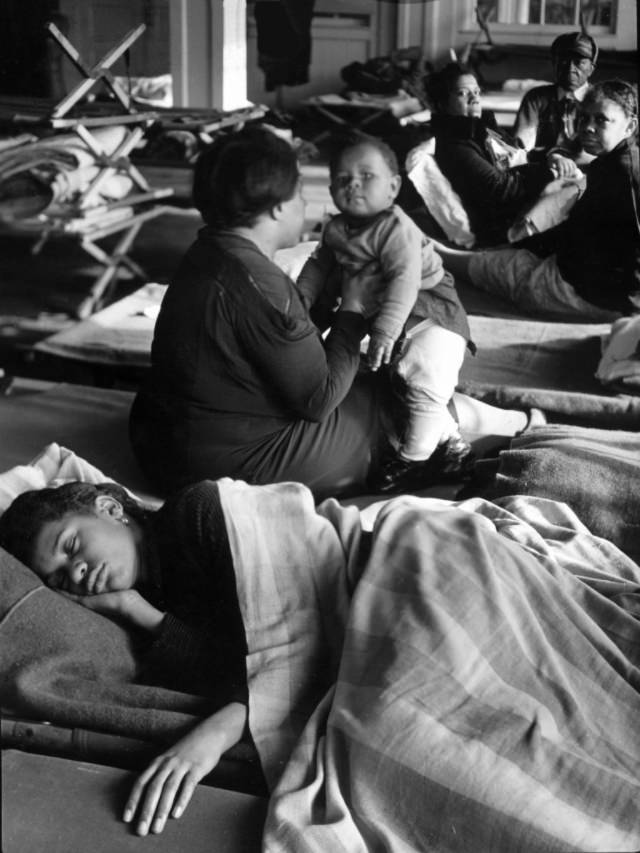
The most devastating flood in the history of the Ohio River devastated 60 percent of the City of Louisville in 1937. This was along with 65 square miles of Jefferson County outside the old city. Approximately 23,000 people were evacuated. The damage is estimated at more than $1 billion today.
Rains began to fall throughout the valley in January 1937, causing the Ohio River to flood. In the area surrounding the river, the total precipitation for January was four times its normal amount. The Louisville station recorded no rain on eight days in January. The heavy rains, coupled with an already swollen river, caused a rapid rise in the river’s level. On January 24, the entire Ohio River was above the flood stage. The river rose 6.3 feet between January 21 and 22 in Louisville. On January 27, the river crest was 460 feet above sea level, or 40 feet above its normal level, which is over a 100-year event. This caused the river to rise 30 feet above flood stage. Louisville, where light and water services had failed, was the hardest hit city along the Ohio River. The city was almost 70 percent underwater, and 175,000 people had to evacuate. Floodwaters inundated 60% of Louisville and covered 65 square miles of the city. According to the U.S. Weather Bureau, flood damage in Kentucky totaled $250 million, an incredible amount in 1937. Around 190 people died as a result of flooding.
The Ohio River Flood Protection System was constructed following the 1937 floods. The project began in 1948 and was completed in 1978. Floodwaters from the Ohio River are protected from flooding for 110 square miles by the floodwall, stretching 29 miles from northeast Louisville Metro to southwest Louisville Metro. Stormwater from the protected area is pumped into the river through 16 pumping stations.
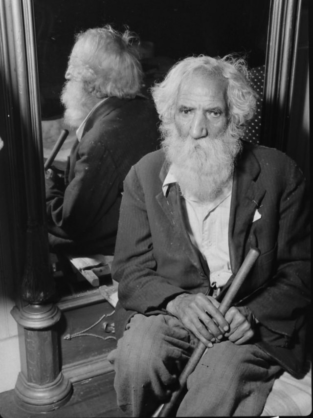
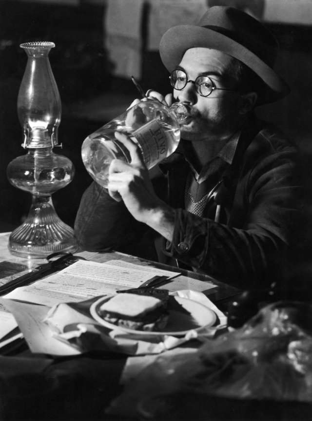
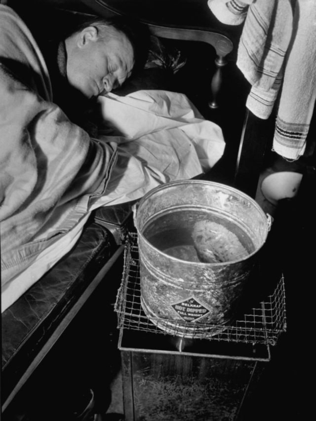
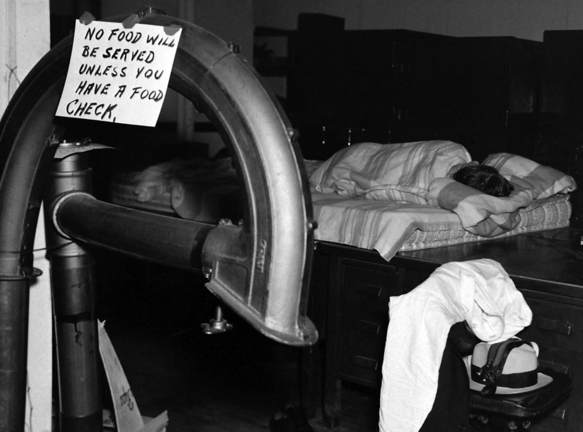
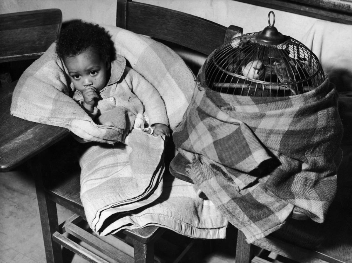
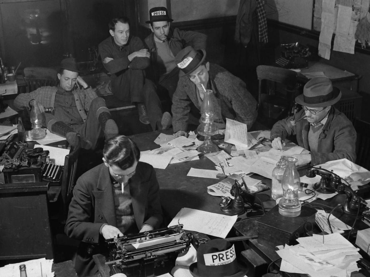
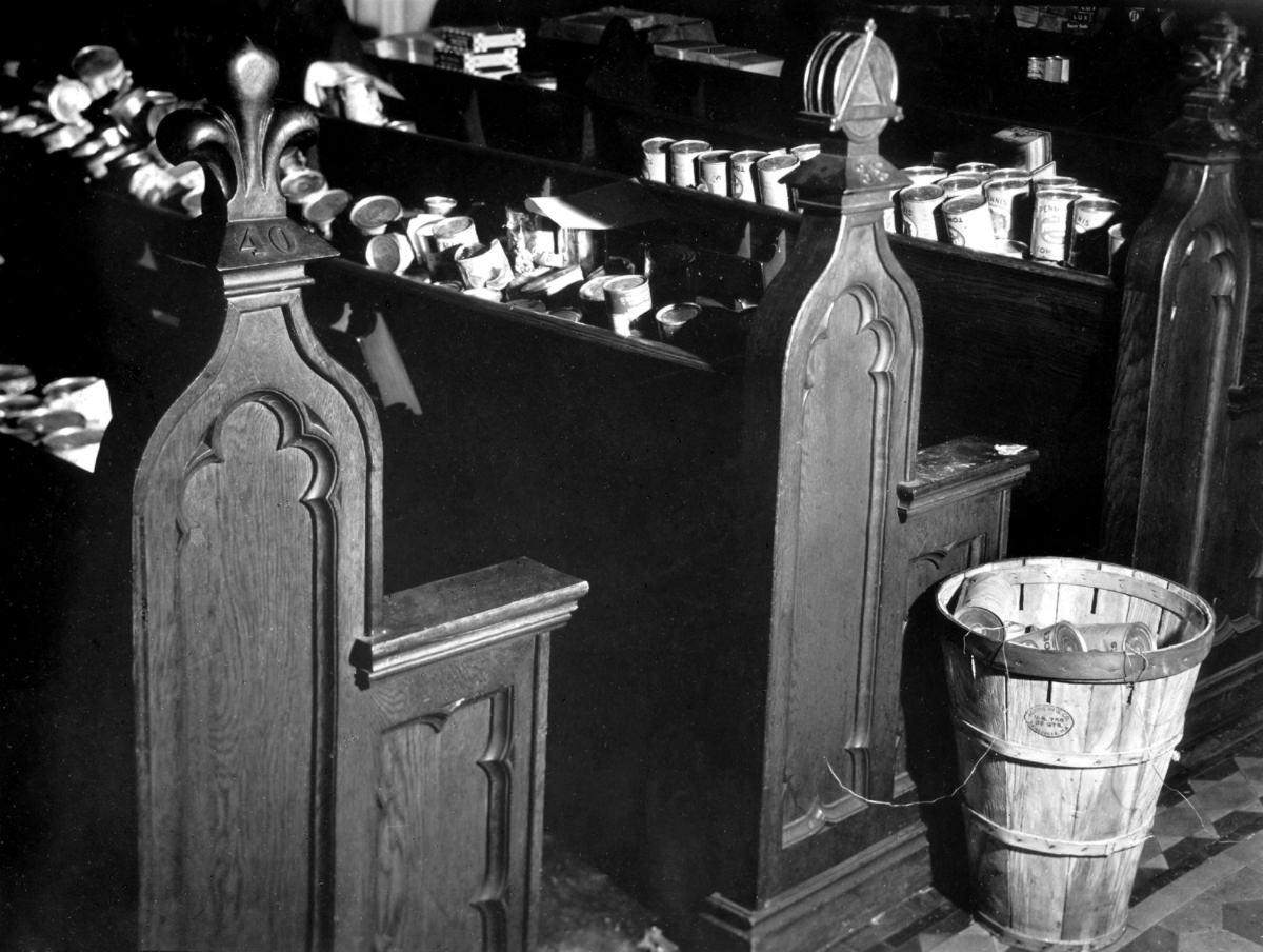
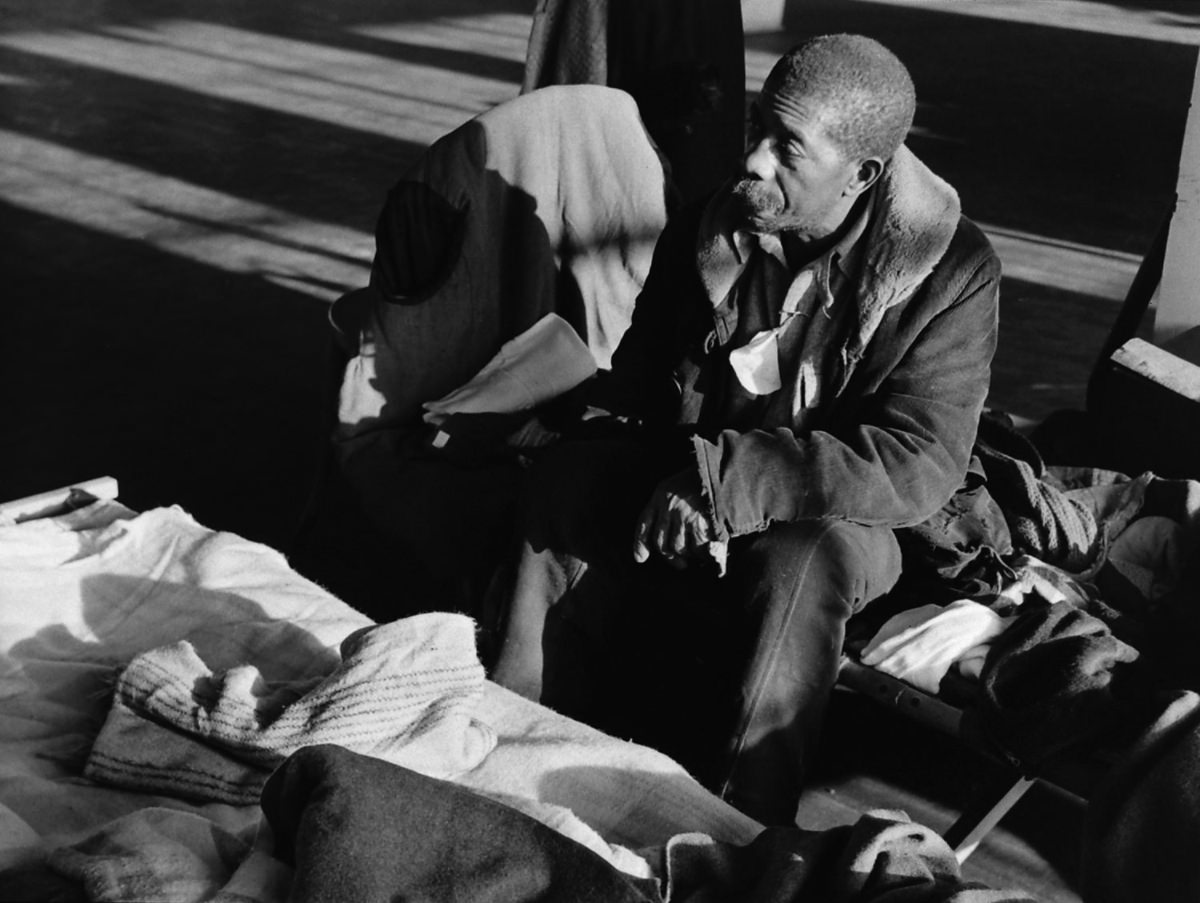
Here are some rare historical photos that document the devastating flood of 1937.


