Boston’s railroad story begins in 1830, when Massachusetts chartered three railways at once: the Boston and Lowell, the Boston and Providence, and the Boston and Worcester. Each one connected the city to towns up to 45 miles away. By 1835, all three were running, and Boston had become the first major rail hub in the world. It was a title earned through both ambition and money.
The city’s merchants drove much of this growth. They invested heavily in the 1830s with one goal in mind — expanding Boston’s trade routes into the interior of the country. By the 1840s, their railroads had linked all of New England to Boston’s port. New York State, however, blocked their attempts to push further west, capping the reach of Boston’s rail network before it could dominate national commerce.
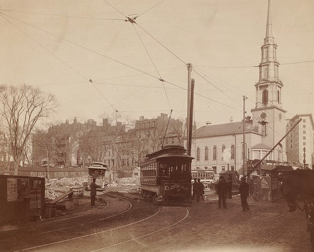
By the late 1800s, the street-level railroad experience in Boston was a daily fixture of urban life. Trolley cars threaded through the city’s busiest corridors, sharing the road with horses, pedestrians, and vendors. These cars were not just transportation — they were the connective tissue of the city, linking neighborhoods that would otherwise have been isolated from the commercial center.
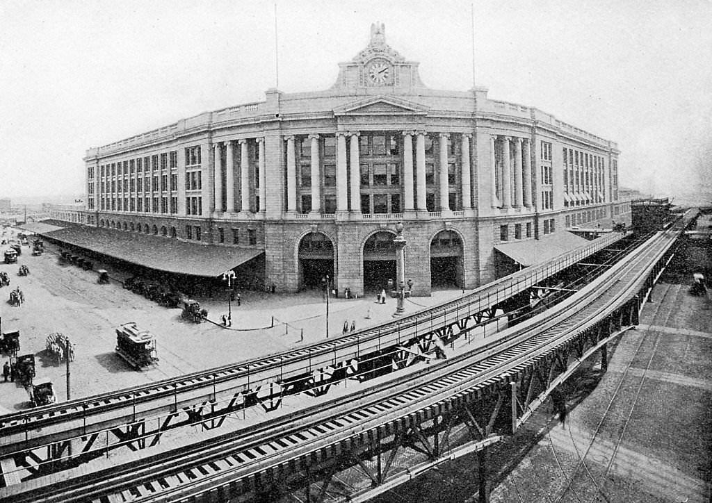
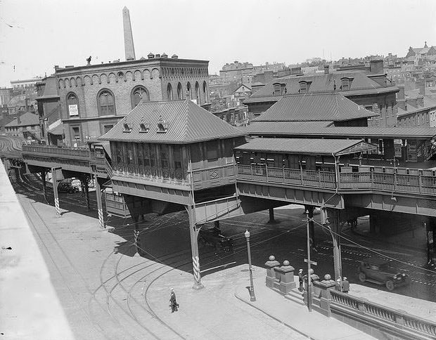
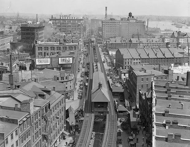
The railroad lines didn’t just run at street level. Boston built an elevated railway to link its two major hubs — a North Union Station and a South Station — by rapid transit before the century ended. The tracks climbed above the streets, carrying passengers over rooftops and through the heart of the city. The skyline itself began to reflect the scale of Boston’s rail ambitions.
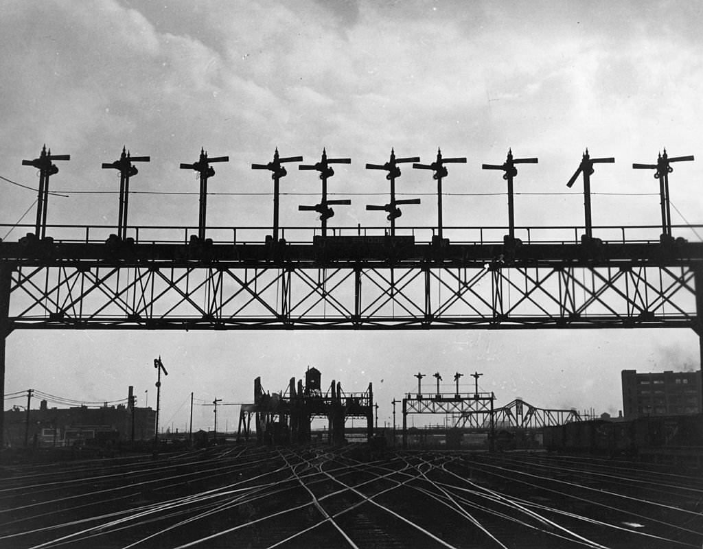
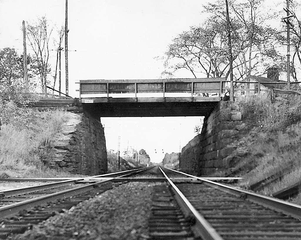
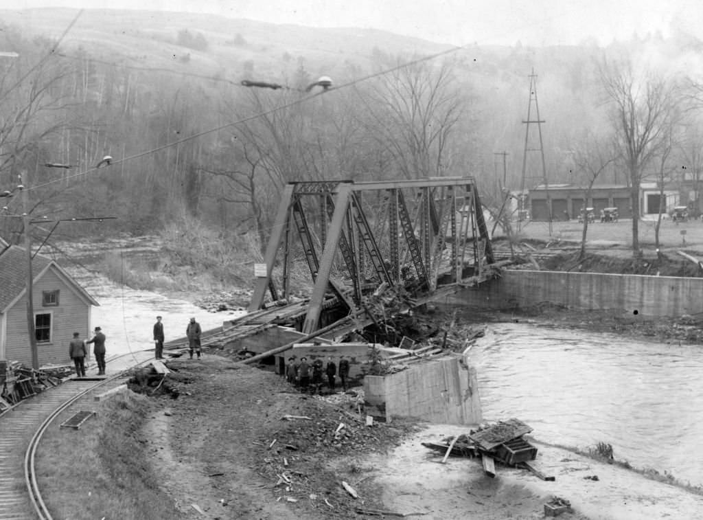
The infrastructure supporting Boston’s rail network was enormous. Bridges, wooden trestles, and signal systems extended across rivers, suburbs, and rural stretches. The Boston and Maine Railroad, known as the B&M, was one of the key operators managing this sprawling network. Its tracks ran through towns well beyond the city limits, passing over rivers and through the New England countryside.
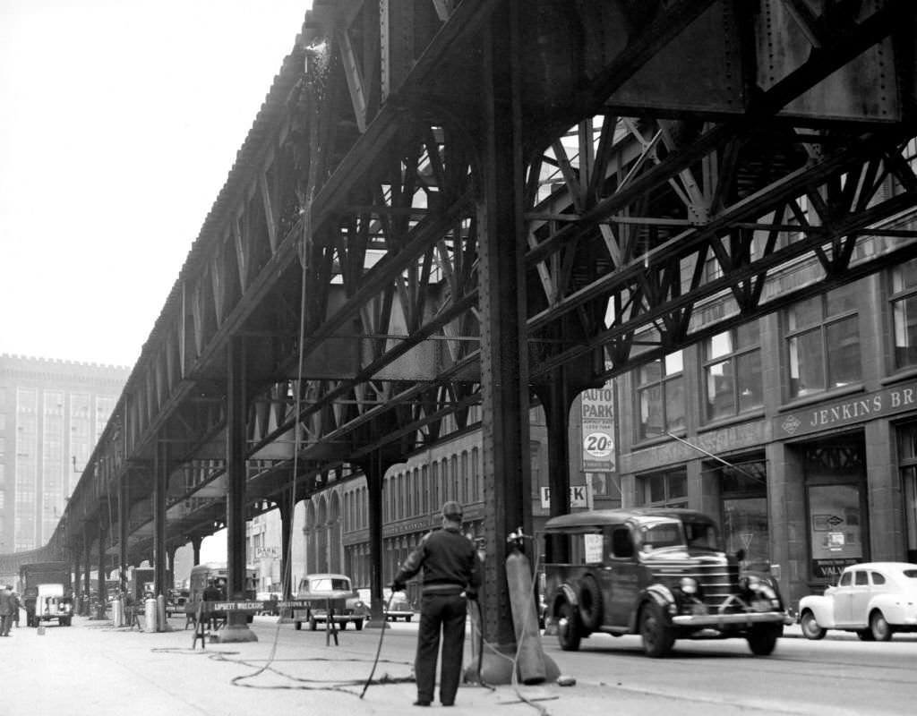
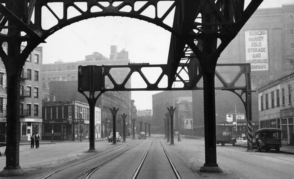
The Atlantic Avenue Elevated was one of the most visible features of Boston’s rail infrastructure. It ran along the waterfront, giving riders a high view of the harbor and the busy commercial docks below. The structure stood for decades before the city decided it had outlived its usefulness. In 1942, workers began tearing it down, dismantling one of the most recognizable features of Boston’s industrial waterfront.
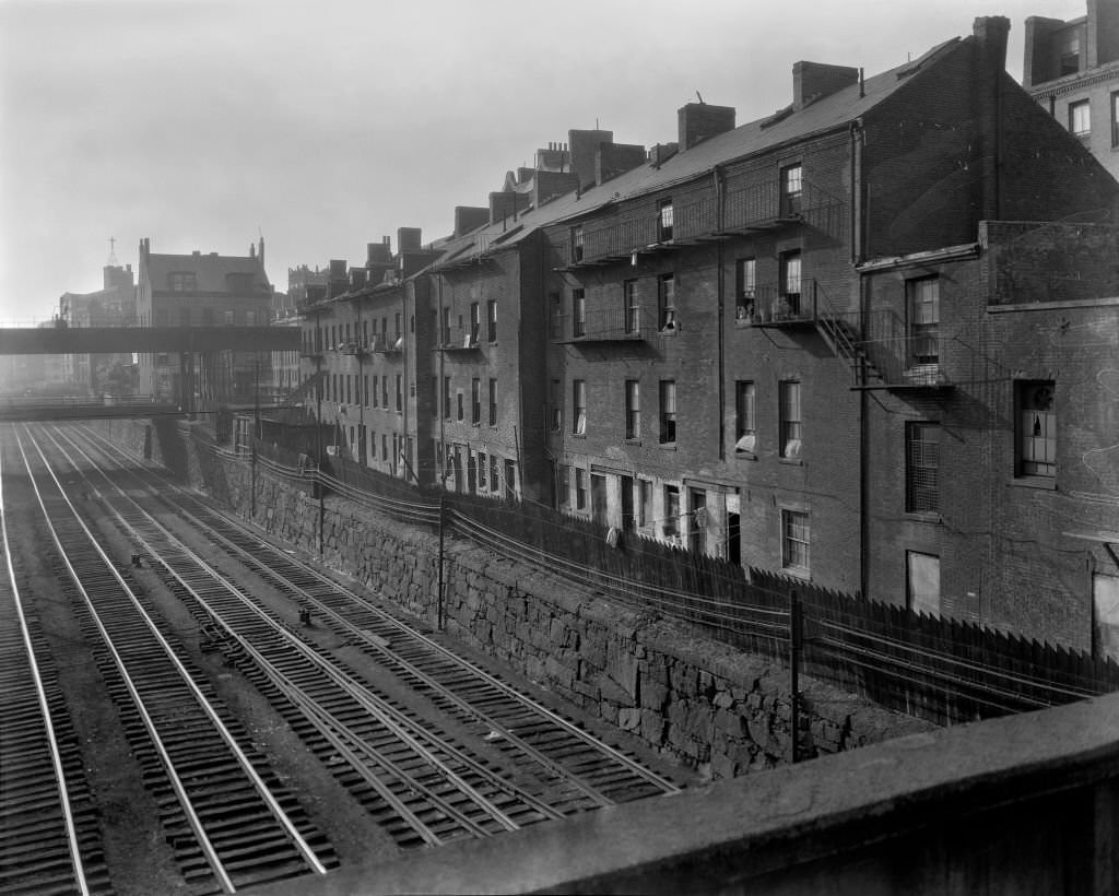
Residential neighborhoods throughout Boston grew up alongside the rail lines. Rows of houses were built within earshot of the tracks, and for many families, the rumble of passing trains was simply part of daily life. The railroads shaped where people lived, where factories were built, and which neighborhoods prospered.
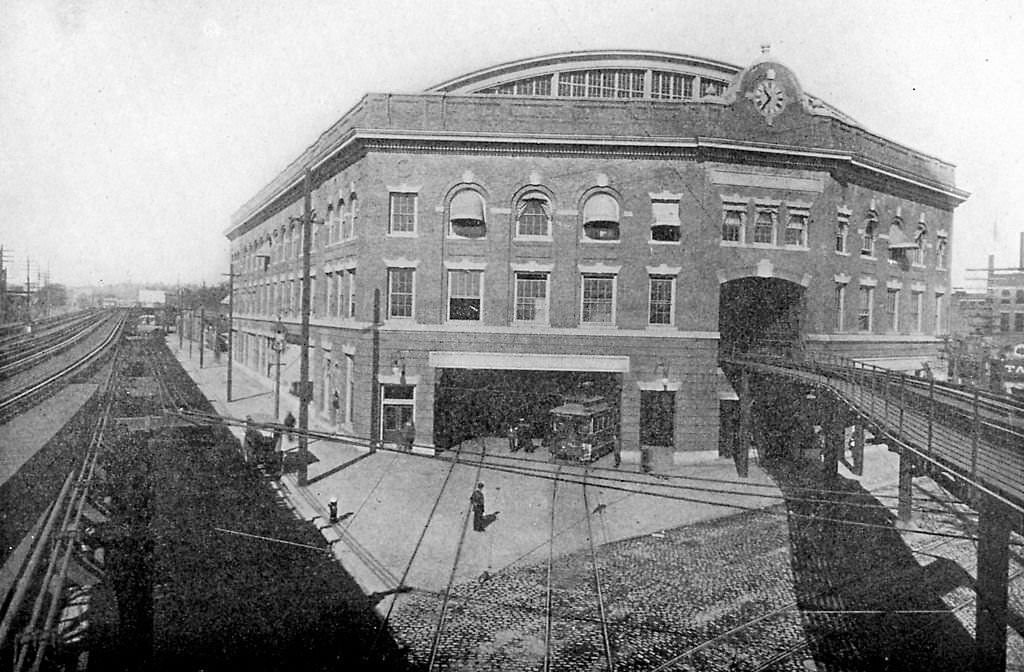
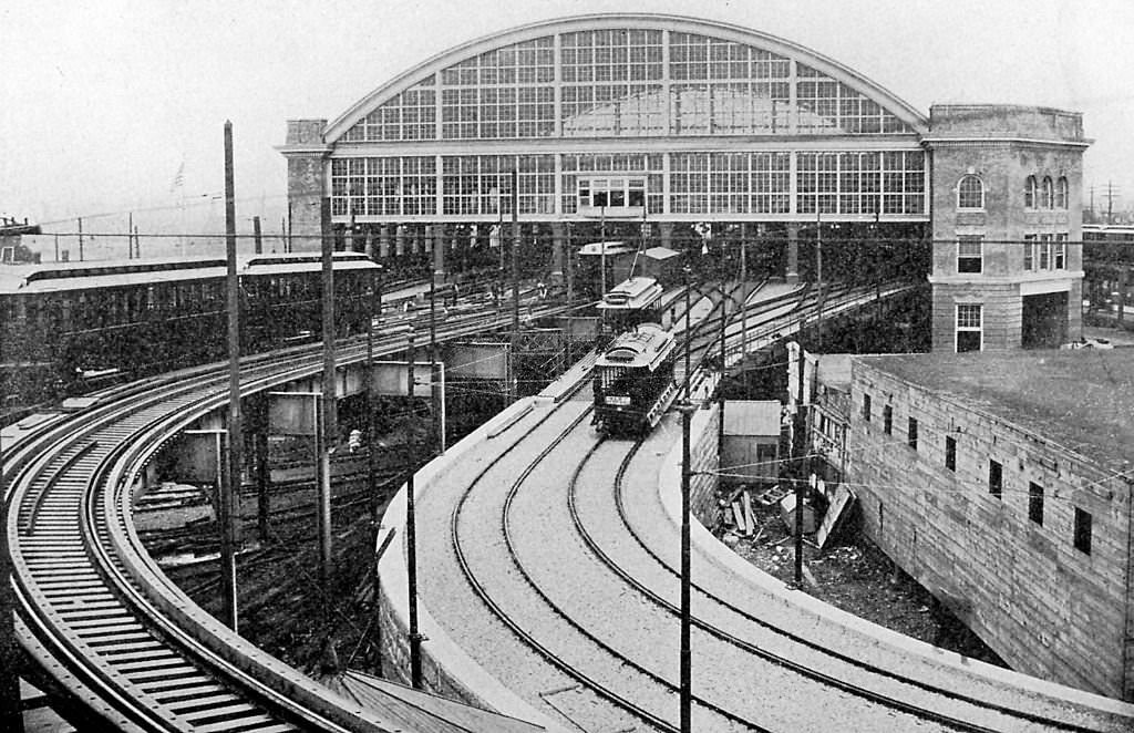
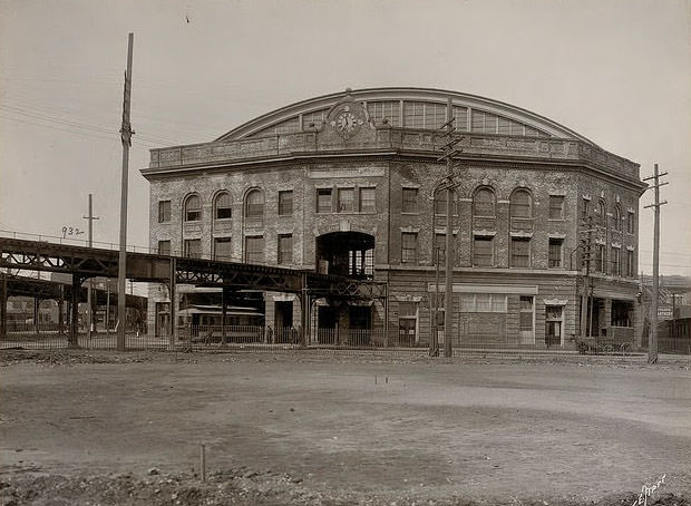
Sullivan Square served as one of the key terminals of the Boston Elevated Railway. Located in Charlestown, it sat at the end of the elevated line and handled enormous volumes of passengers heading in and out of the city. The station was a busy, functional structure — utilitarian in design but central to the daily movement of thousands of commuters.
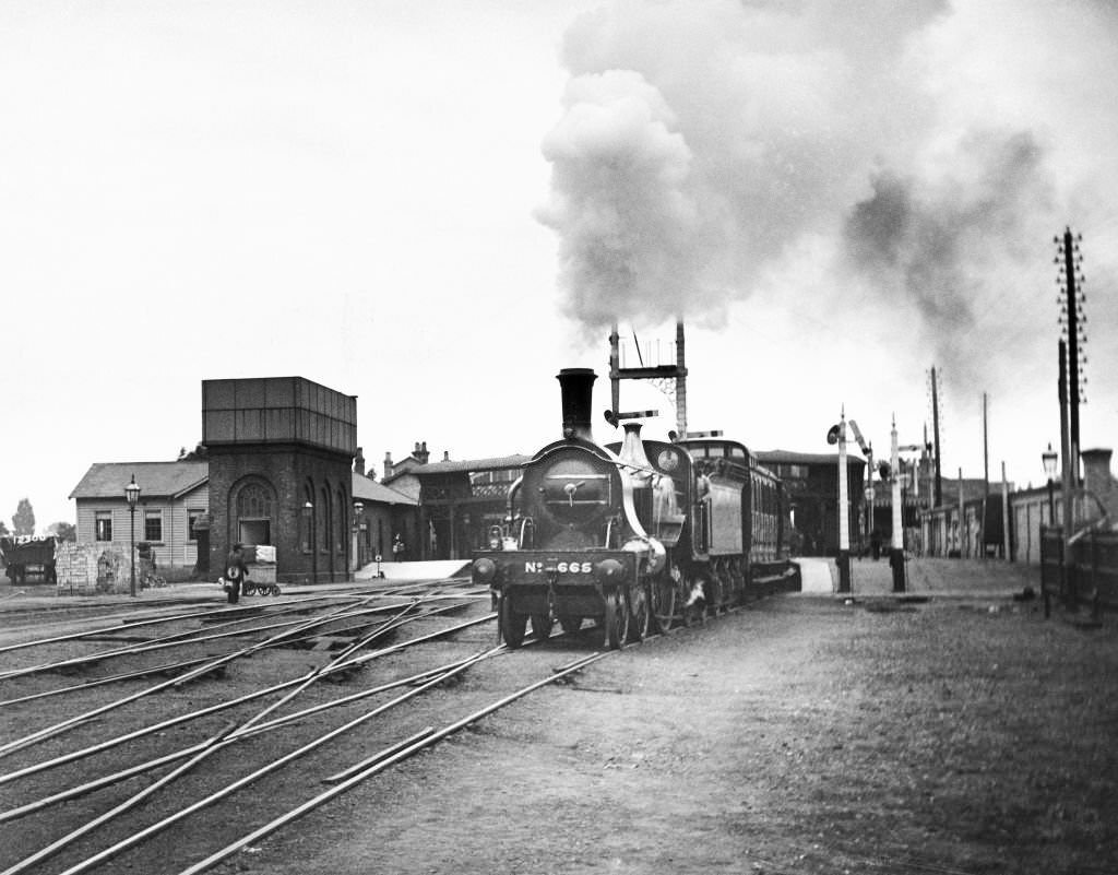
Steam locomotives were the workhorses of long-distance rail travel during the early part of the century. Powerful engines hauled passenger cars out of the city’s major terminals, billowing smoke as they built up speed on the mainlines. The spectacle of a steam locomotive departing a station was one of the defining sights of early 20th-century travel.
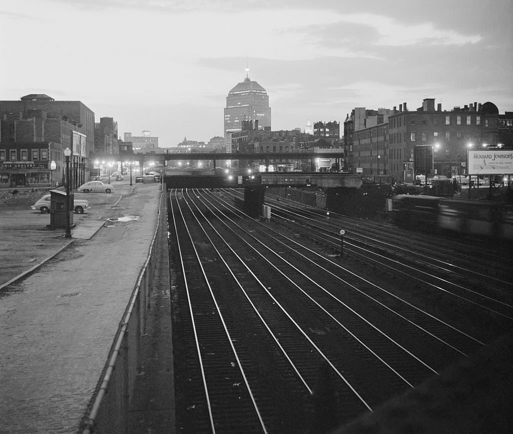
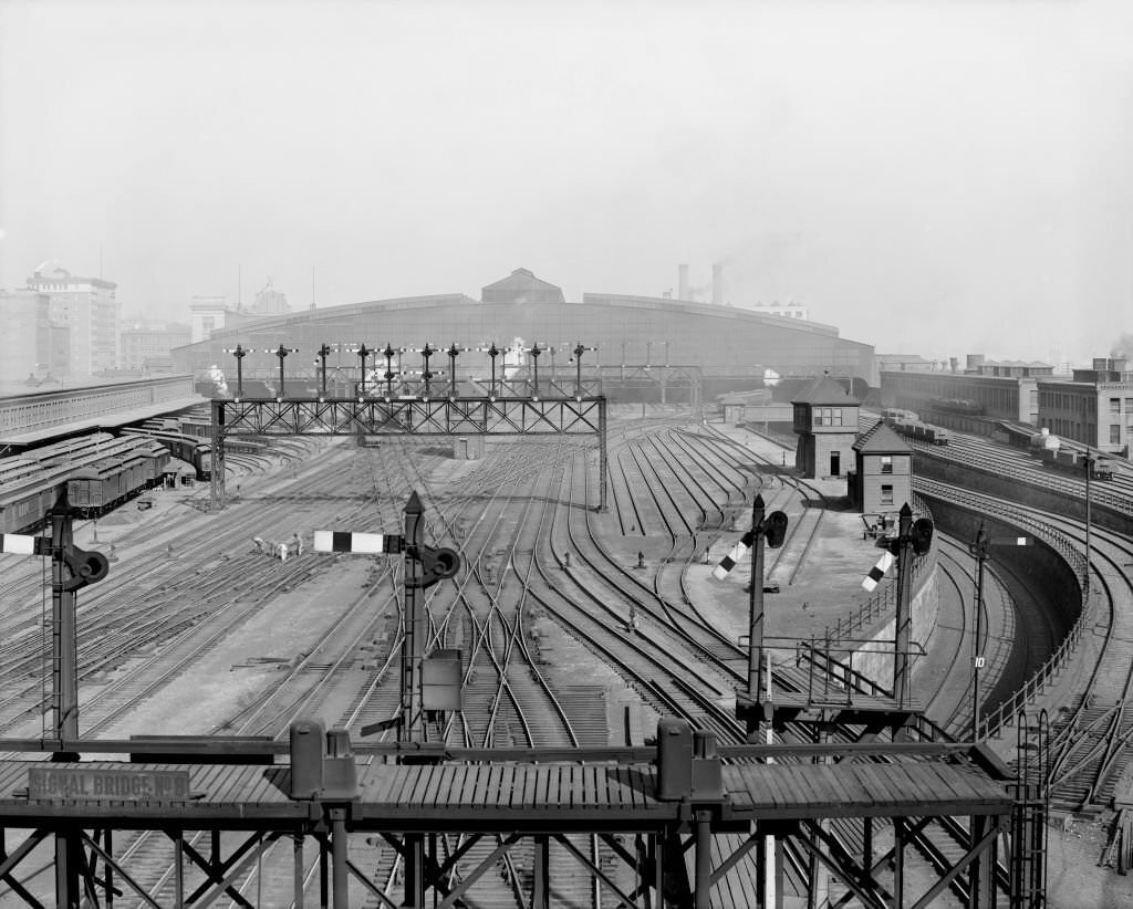
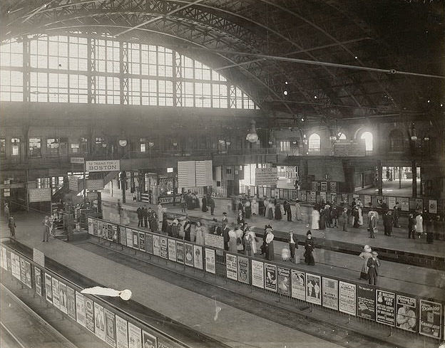
South Station was built in 1899 to consolidate several older, smaller railroad terminals into a single modern facility. It became one of the busiest rail stations in the United States, handling traffic from multiple railroad companies. The rail yards surrounding it were a constant hive of activity, with locomotives, freight cars, and passenger trains moving through at all hours.
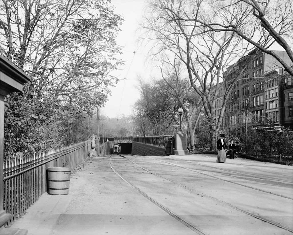
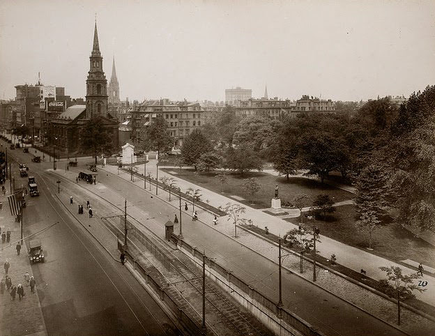
Boston’s subway system was among the earliest in the United States. The Public Garden entrance became one of the most photographed points of descent into the underground network. Street-level Boston and underground Boston existed side by side, with riders moving between the two worlds through stairwells set into the busy sidewalks.
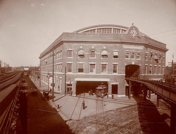
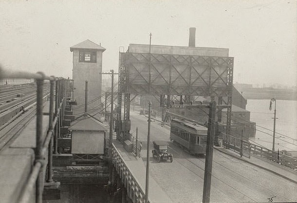
Operating rail cars across Boston’s network of bridges and waterways required specialized equipment and constant maintenance. The Charles River alone presented a significant engineering challenge, with drawbridges designed to allow both rail traffic and river vessels to pass. Workers and operators managed these crossings daily, keeping the city’s transit flowing.
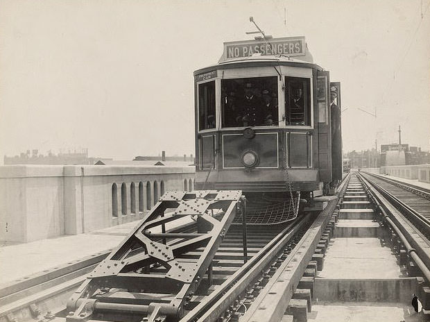
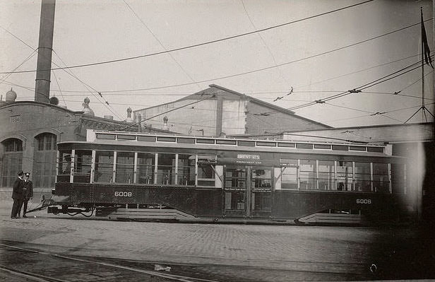
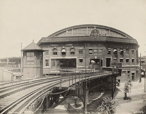
The subway cars that ran beneath Boston’s streets were compact and built to navigate tight tunnels. Above ground, the elevated railway cars offered passengers a completely different experience — open views of the city, the harbor, and the dense urban neighborhoods spreading out in every direction. Both systems ran frequently and carried enormous numbers of riders.
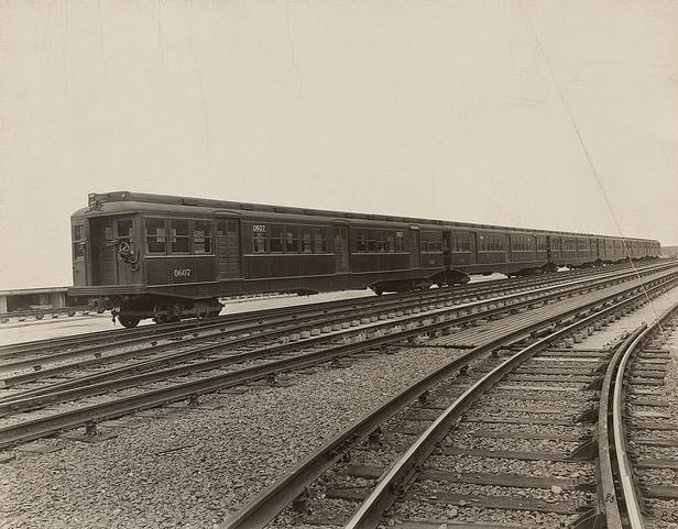
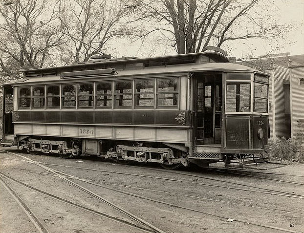
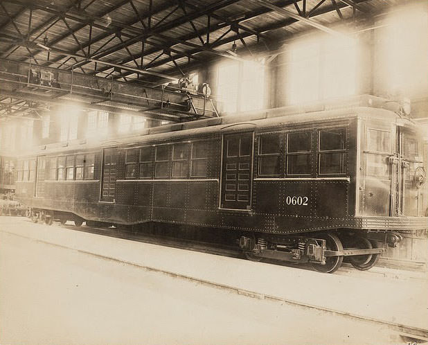
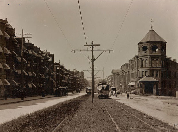
Street car lines extended well beyond the city core, reaching out into Charlestown, Medford, and other surrounding communities. The Charlestown line connected riders to the Medford and Boston service, threading through neighborhoods where the trolley was the primary way most residents got around. These lines made suburban life practical long before the automobile made it commonplace.
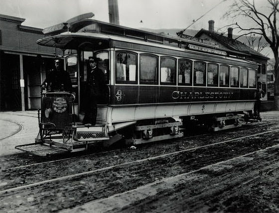
The Boston Elevated Railway’s viaducts crossed the Mystic River as part of the network’s northern expansion. The steel structures carrying rail lines over rivers became engineering landmarks in their own right, blending function with the industrial aesthetic of the era. At the same time, the city’s waterways presented constant maintenance challenges for operators keeping tracks safe year-round.
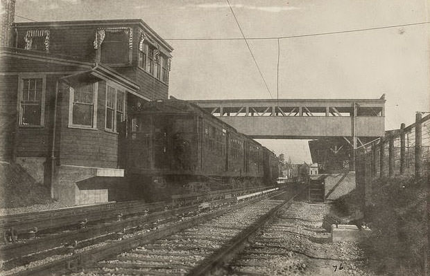
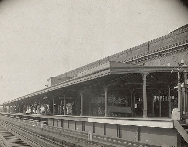
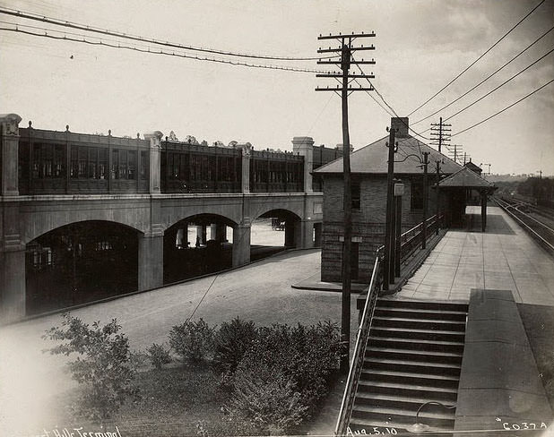
Forest Hills Station, located in the Jamaica Plain neighborhood, served as a southern terminus for the elevated line. It was a major transfer point, where riders switched between the elevated railway and street-level trolleys heading deeper into the southern neighborhoods. The station handled steady crowds from its earliest years of operation.
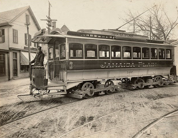
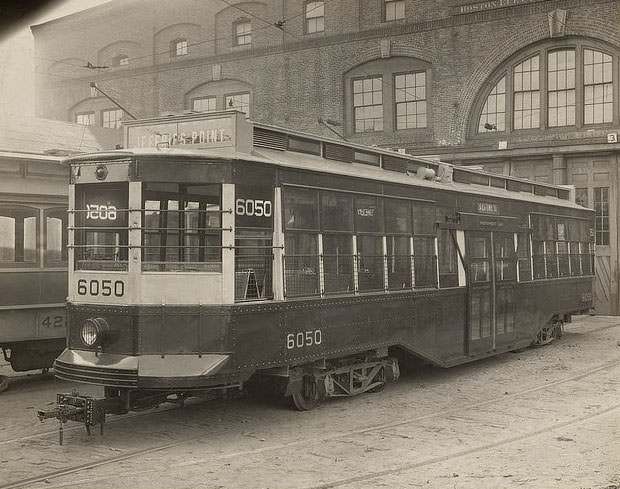
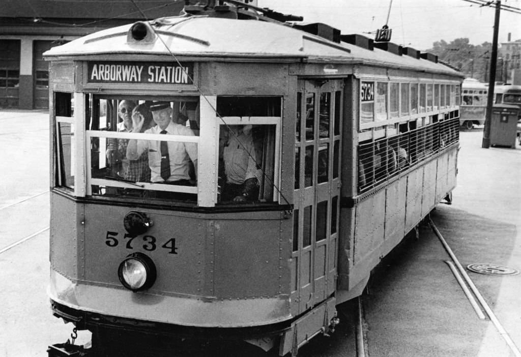
The equipment used on Boston’s rail network evolved steadily through the late 1800s and into the early 1900s. Early two-car trains gave way to longer, more efficient configurations. Semi-convertible cars, which could be adapted for different seasons by adjusting their windows and sides, became a practical choice for a city that experienced harsh winters and warm summers.
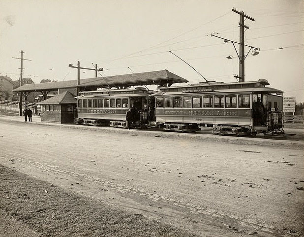
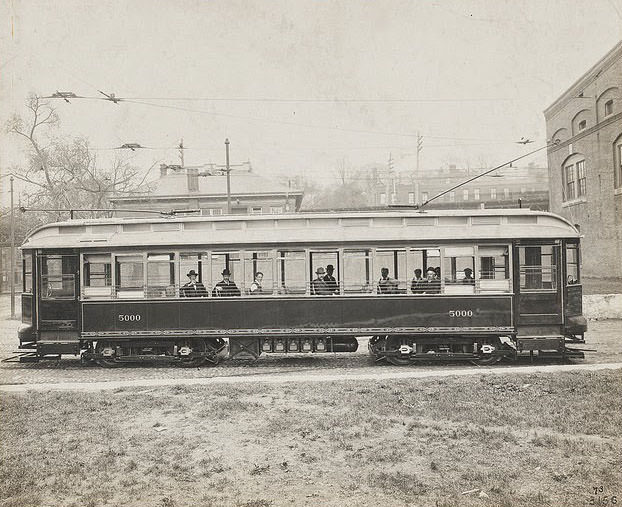
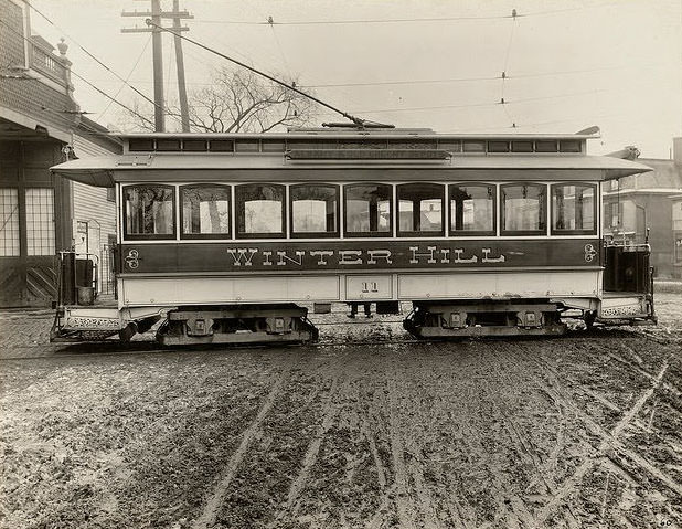
Articulated cars, which joined multiple units into a single flexible vehicle, represented one of the more advanced designs in Boston’s fleet. These cars could carry more passengers while still navigating the sharp turns and narrow streets of the city’s older neighborhoods. Palace cars, by contrast, were the premium option — larger, more comfortable, and designed for riders willing to pay a bit more for the journey.
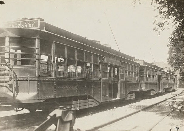
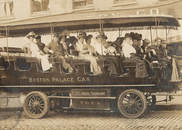
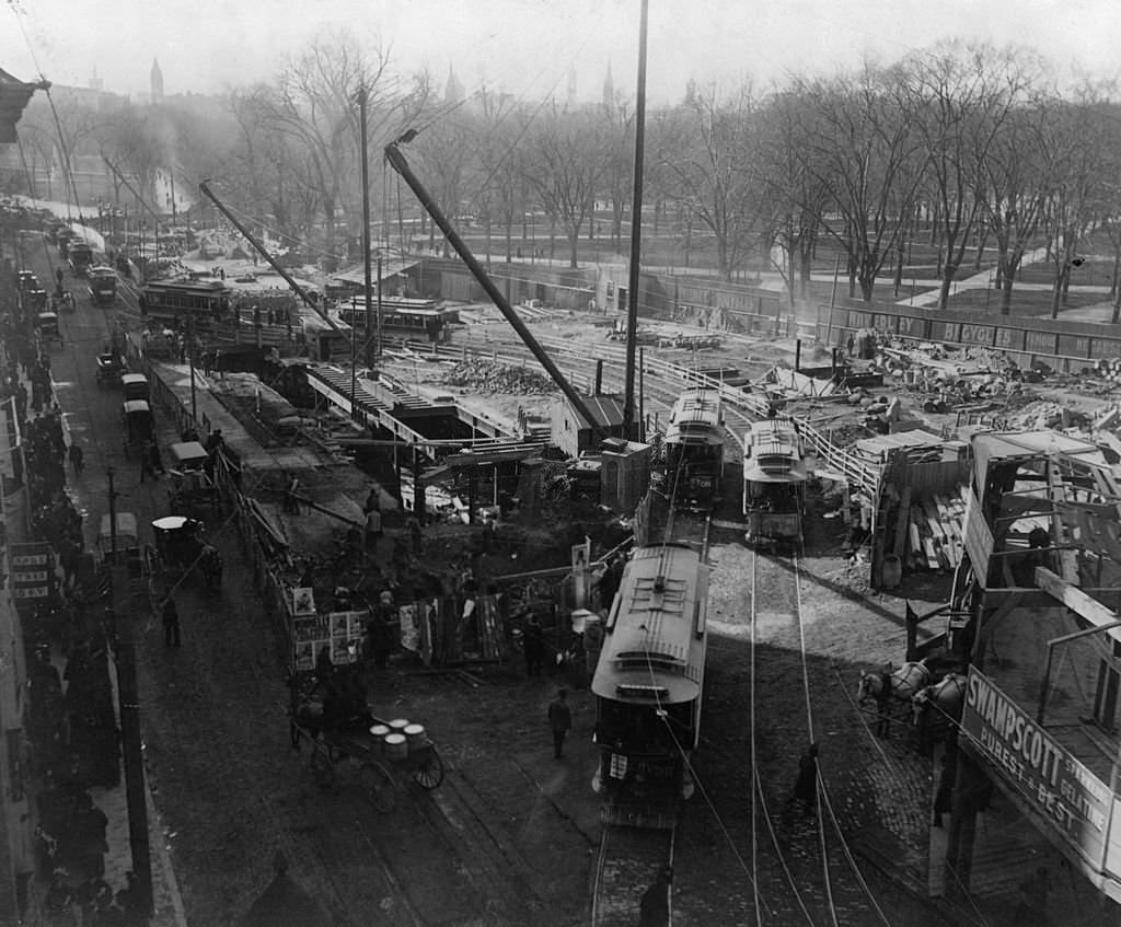
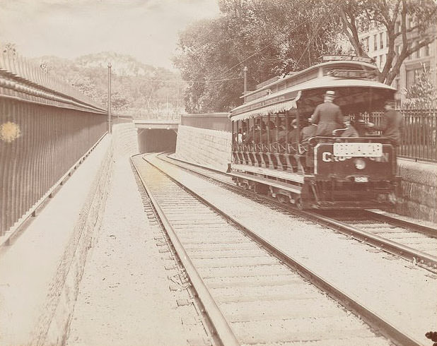
The opening of the Tremont Street subway in 1897 was a landmark moment in American transit history. Boston became the first city in the United States to operate an electric subway. Trial runs at the Public Garden entrance drew curious onlookers who gathered to watch the new cars descend underground for the first time.
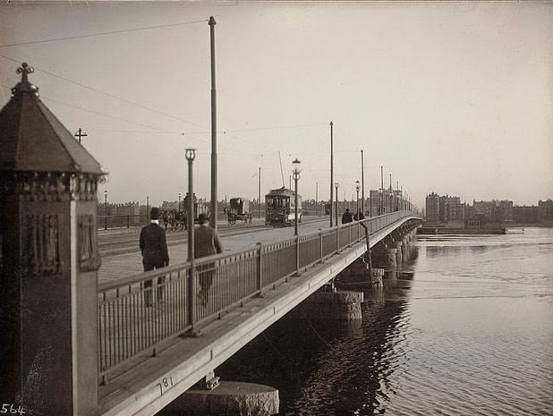
Boston’s elevated railway interacted constantly with the city’s river infrastructure. The Charles River Dam area featured a prominent elevated viaduct that carried rail traffic over the water, threading through a landscape of industrial buildings and waterfront activity. These crossings were engineering achievements that required ongoing maintenance to stay safe and operational.
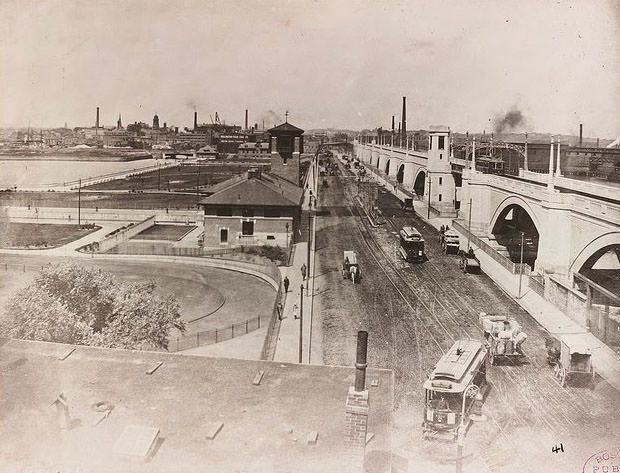
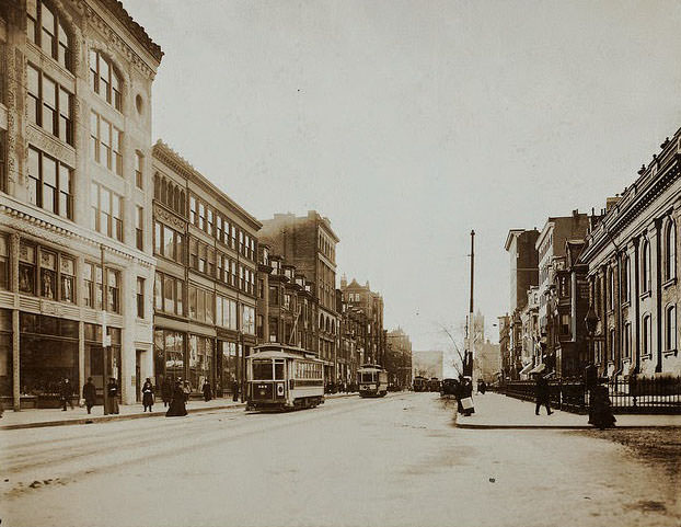
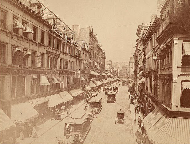
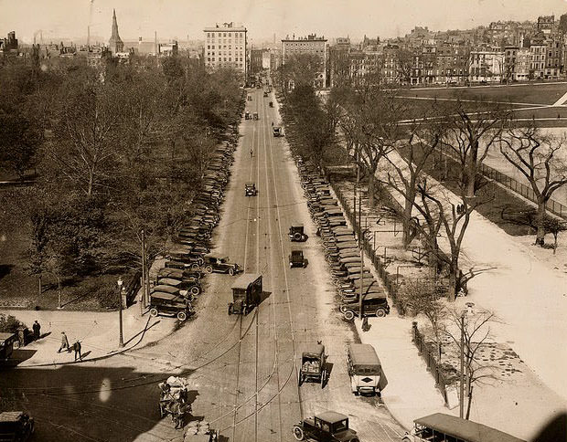
Street scenes from the 1890s show a Boston where trolleys shared the road with horse-drawn carriages and pedestrians in a dense, chaotic mix. Boylston Street and the surrounding Back Bay blocks were already heavily trafficked corridors by that decade. The trolley lines running through these streets were the lifelines of daily commerce and commuting.
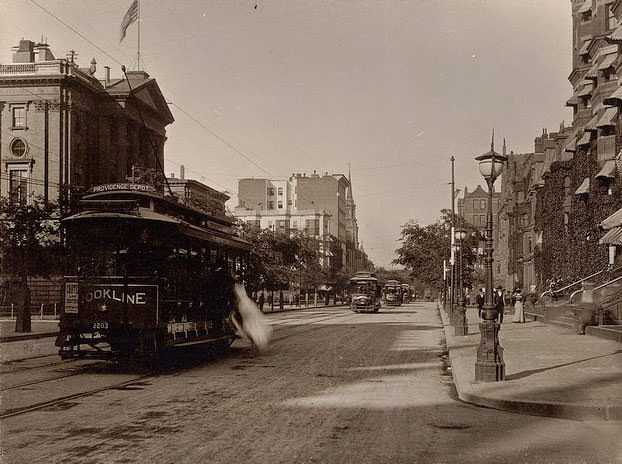
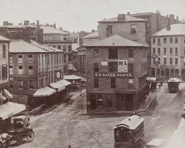
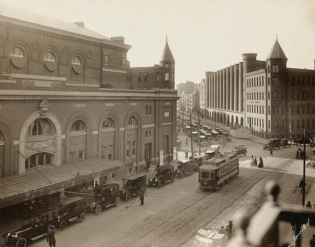
By the late 1890s, major avenues like Huntington Avenue were becoming transit corridors lined with public buildings, churches, and commercial activity. The Mechanics Building on Huntington Avenue was a focal point of the neighborhood, surrounded by trolley lines that brought visitors and workers from across the city.
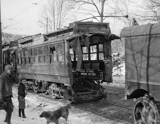
Accidents were an unavoidable part of operating street cars through a dense urban environment. Derailments, collisions, and weather-related incidents occurred regularly across the network. A street car accident at Forest Hills was one of many recorded incidents that reminded operators and city planners alike of the risks built into running heavy rail vehicles through active city streets.
The early 20th century brought growing economic pressure to the railroad industry. The internal combustion engine changed everything. As automobiles became more affordable and highways improved, ridership on rail lines fell. Trucks began taking freight that had previously moved by rail. The B&M, like many railroads, had just completed an expensive transition to diesel locomotives when traffic began its sharpest decline, leaving the company deep in debt. The combination of high infrastructure costs and falling revenue forced widespread cuts across the network.
The construction of the Interstate Highway System accelerated the decline further. Factories and offices no longer needed to be located near fixed rail routes. They could be built anywhere a highway could reach, which was nearly everywhere. The geographic advantage that had made Boston a rail hub in the 1830s no longer translated into economic dominance in the mid-20th century.
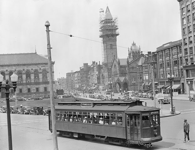
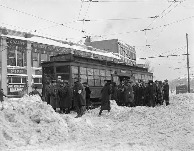
Winter in Boston posed its own challenges for the street car network. Snow and ice regularly disrupted service, stranding cars on tracks and forcing crews to work in brutal conditions to restore operations. A trolley stuck in snow at Uphams Corner in Dorchester in 1930 captured a scene that played out across the city every winter — a reminder that Boston’s transit system operated year-round, regardless of the weather.