
Gateshead sits on the southern bank of the River Tyne, directly across from Newcastle upon Tyne. Seven bridges link the two cities, and for much of the 19th and early 20th centuries, Gateshead was one of the most industrially active towns in England. Its iron, steel, and coal industries shaped the landscape and the lives of the people who lived there. By the 1980s, that industrial era was winding down fast, and the town was caught between what it had been and what it was becoming. Streets were being demolished, old buildings were vanishing, and new infrastructure was reshaping the borough. Photographer Trevor Ermel was there to record it all.
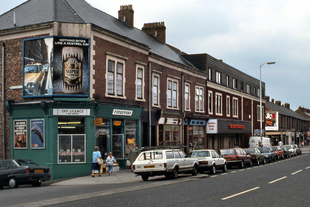
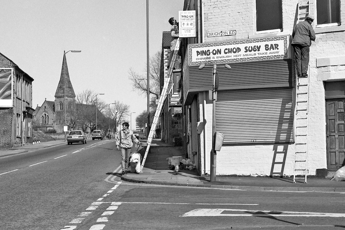
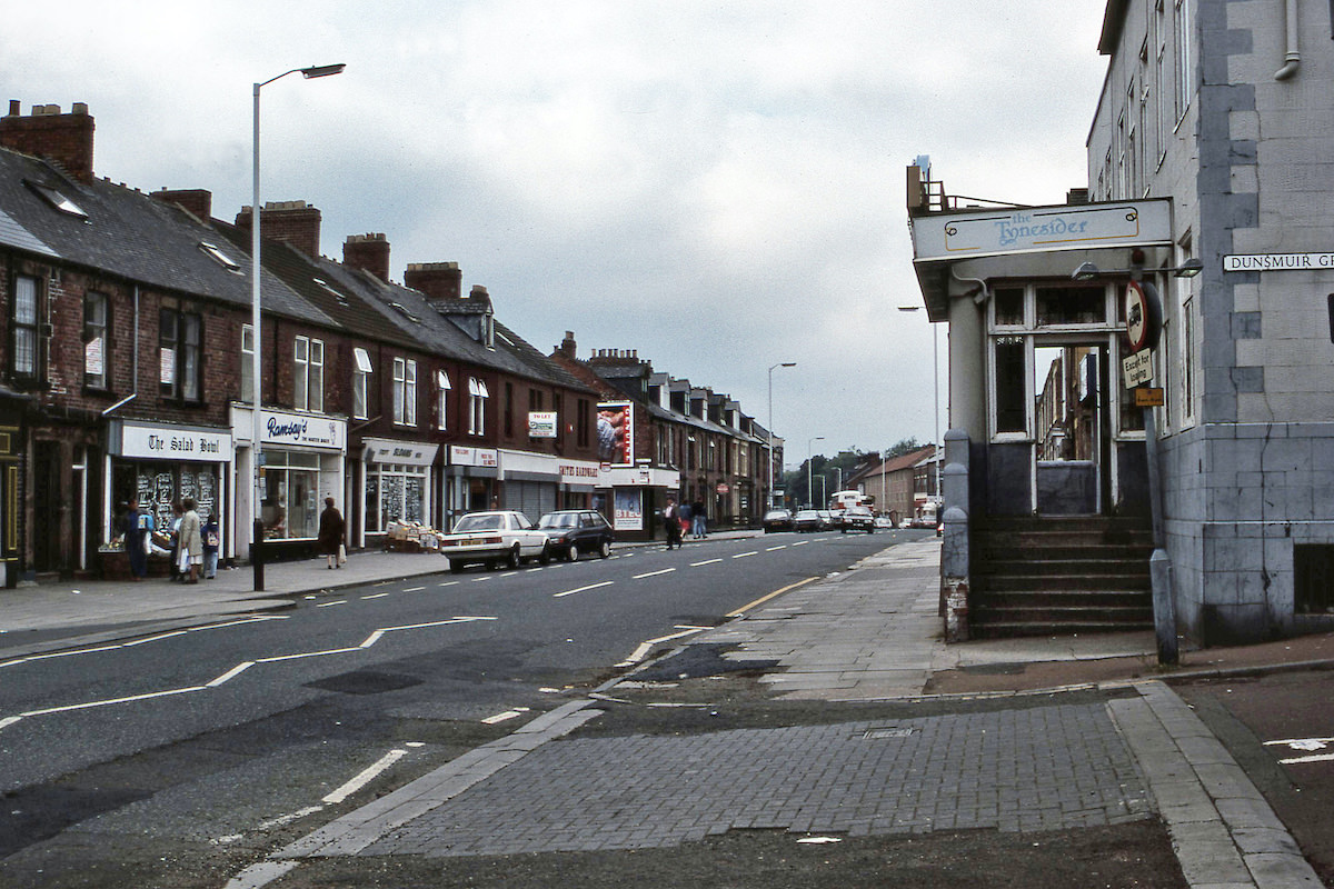
Ermel’s photographs capture Gateshead at a pivotal moment — not a polished, curated version of the town, but the real, lived-in version. Pubs, buses, terraced streets, railway lines, and corner shops all appear in his work. Some of what he photographed no longer exists. The images below are a direct window into what Gateshead looked and felt like during one of its most significant decades of change.
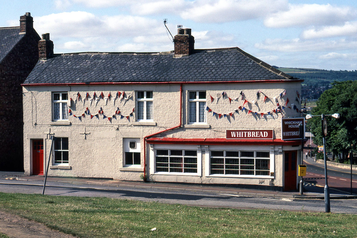
July 1981 brought the Royal Wedding of Prince Charles and Lady Diana Spencer, and Gateshead’s streets reflected the national mood. Flags and bunting appeared across the borough, decorating everything from residential terraces to local pubs. The Whickham House Pub on Rawling Road was among those that dressed up for the occasion.
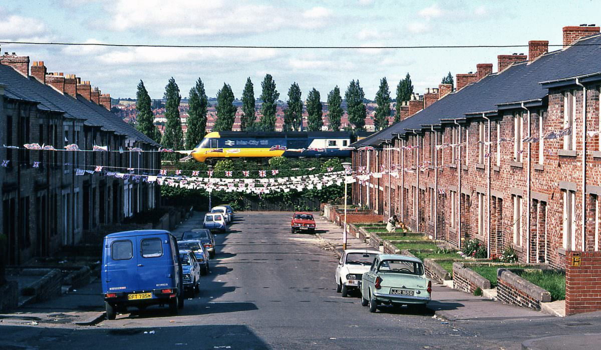
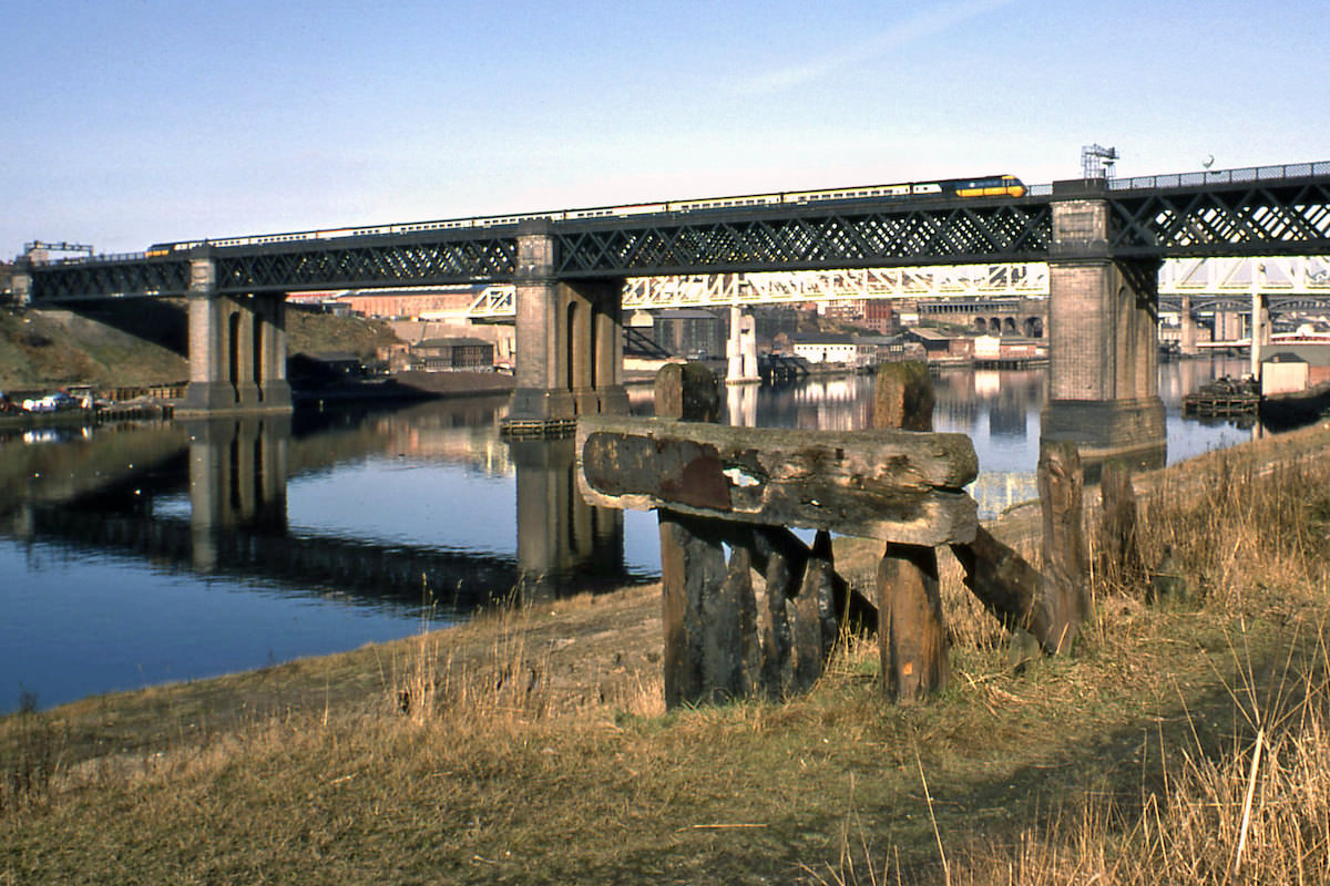
The railways running through Gateshead were a constant feature of daily life. InterCity 125 trains — also known as High Speed Trains (HSTs) — were a regular sight cutting through the borough at speed. St. Cuthbert’s Village, a residential area tucked close to the rail lines, gave photographers a striking backdrop for these passing trains.
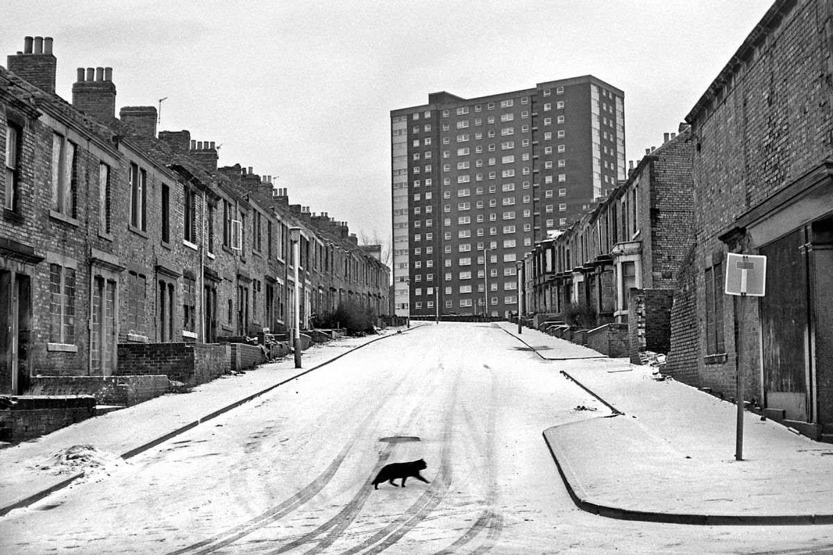
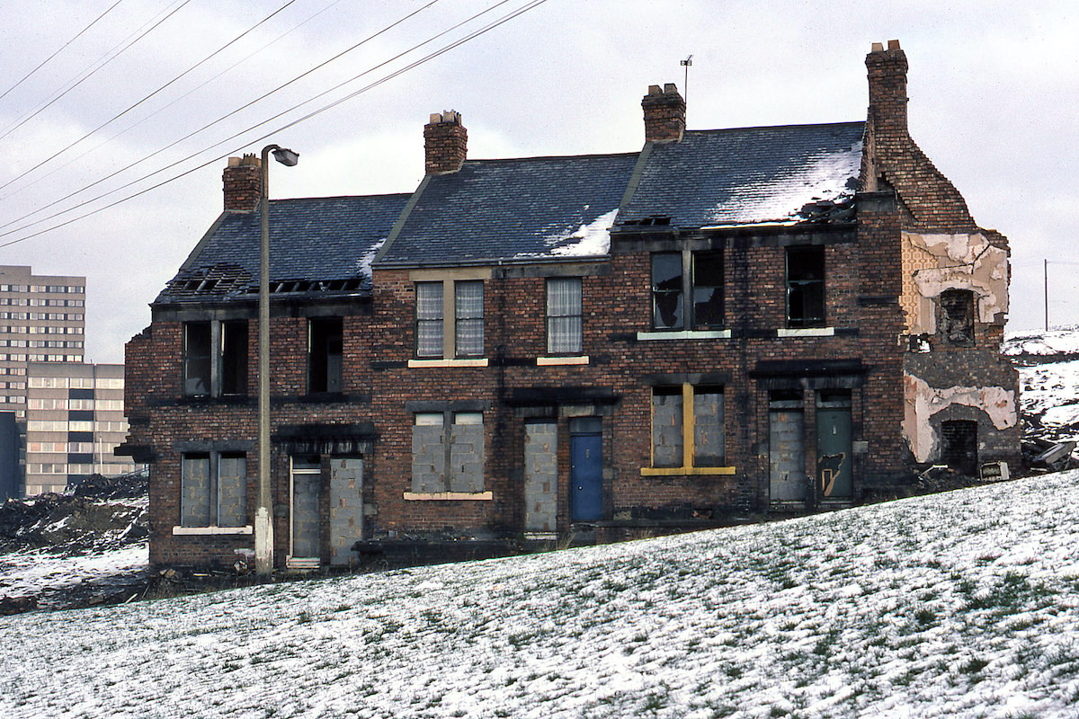
Demolition was a recurring theme across Gateshead in the 1980s. Whole streets were cleared to make way for new development or simply because the old housing stock had reached the end of its life. Bensham, a district of Gateshead, saw significant clearance during this period. Streets that had stood for generations were reduced to rubble, and the communities that had lived in them were dispersed.
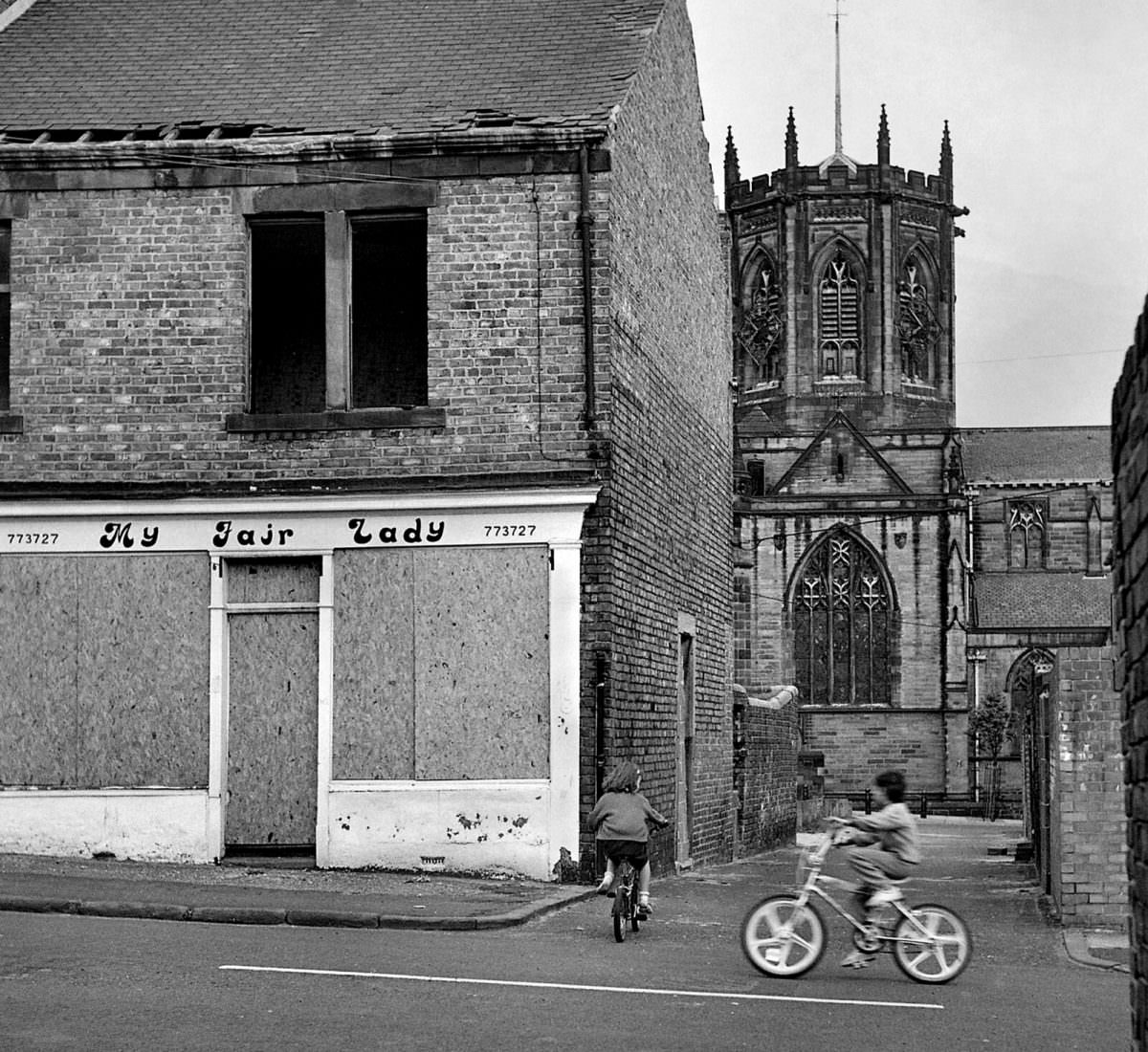
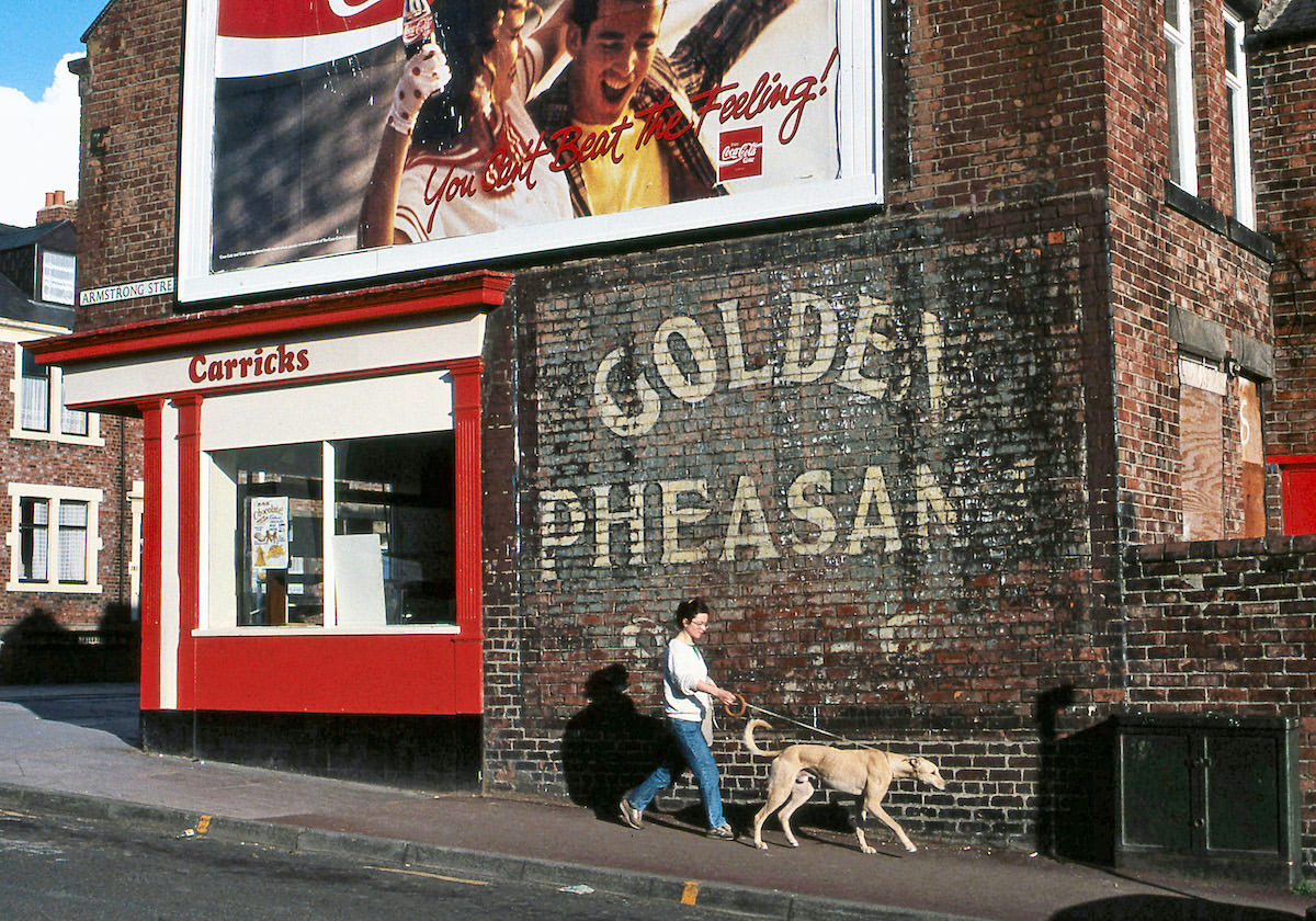
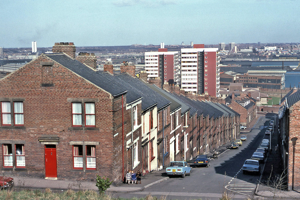
Armstrong Street in 1989 shows the kind of terraced housing that defined much of Gateshead’s residential areas. These streets were tightly packed, with houses opening directly onto the pavement — a design built for the working-class communities that the town’s industries had drawn in over the previous century.
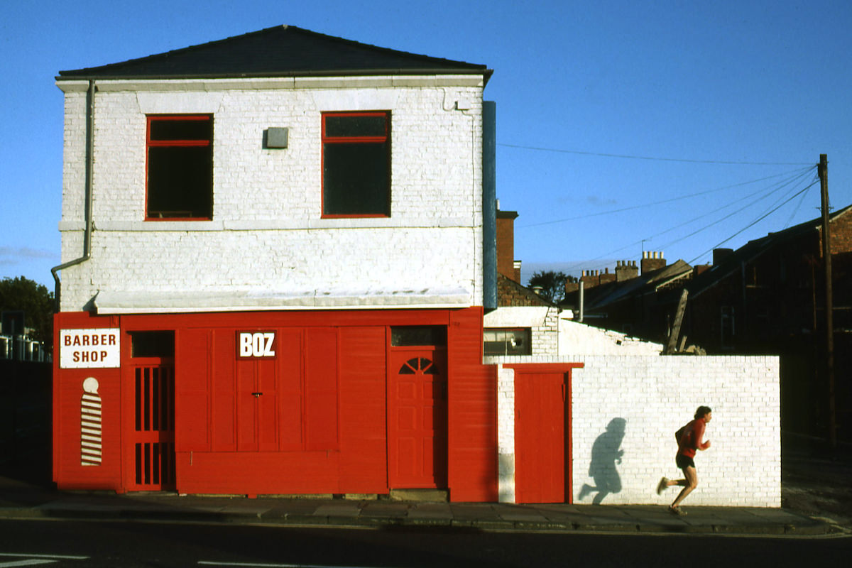
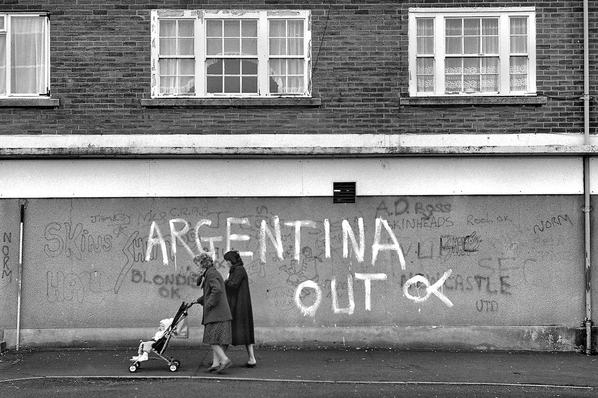
On June 19, 1982, with the Falklands War having just ended, Ermel photographed a scene on Oakwood Gardens in Lobley Hill. The timing gives the image an added layer of meaning — Britain had just emerged from a conflict in the South Atlantic that cost 255 British lives, and the country was processing that loss alongside everyday life continuing as normal on the streets of towns like Gateshead.
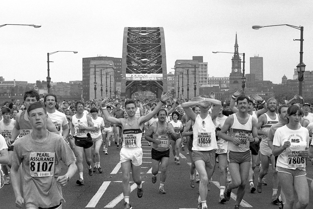
The Great North Run, one of the world’s most famous half marathons, passes through Gateshead each year. In 1987, Ermel captured runners crossing over from the Tyne Bridge — a dramatic vantage point with the river below and the two cities framing the scene. The race, which starts in Newcastle, draws tens of thousands of participants and has done so since its inaugural event in 1981.
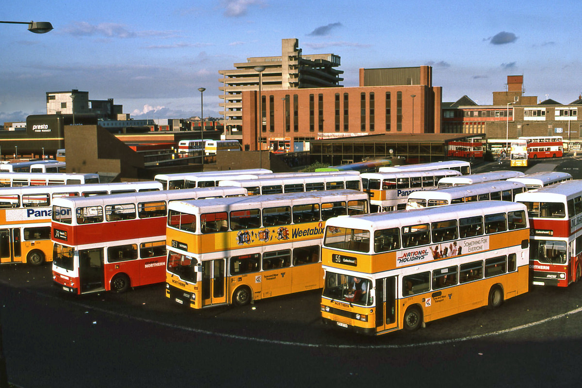
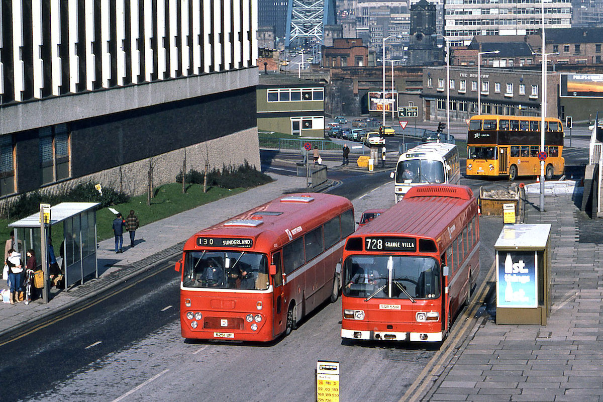
Gateshead Interchange opened in 1981 as a combined bus and Metro station, replacing the old bus station on Wellington Street. Before surrounding foliage grew in and obscured the sightlines, bus enthusiasts found a prime elevated viewpoint for watching and photographing the vehicles that passed through.
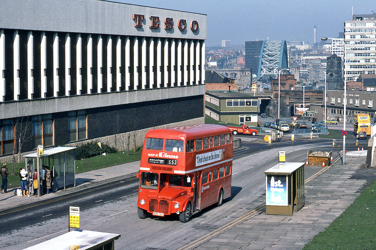
Public transport in Gateshead during the early 1980s included a small fleet of Routemaster buses operated by Northern. These vehicles, more commonly associated with London, were an unusual sight in the northeast. One of them, RCN700, was photographed in April 1980 passing the old Tesco site at the bottom of Gateshead High Street.
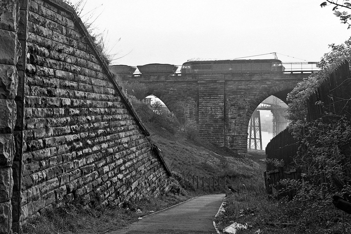
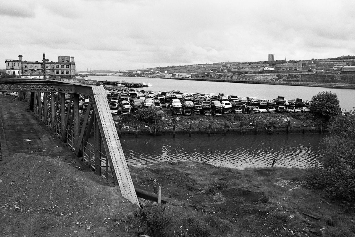
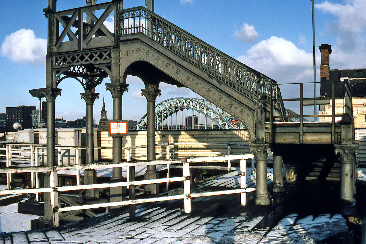
Dunston, a district along the River Team, had its own industrial character. From the elevated approach to Dunston Staiths — the enormous timber structure once used to load coal onto ships — Ermel photographed a car scrapyard at the mouth of the River Team in 1985, with the old Co-op building visible beyond it. The entire site has since been covered by housing.
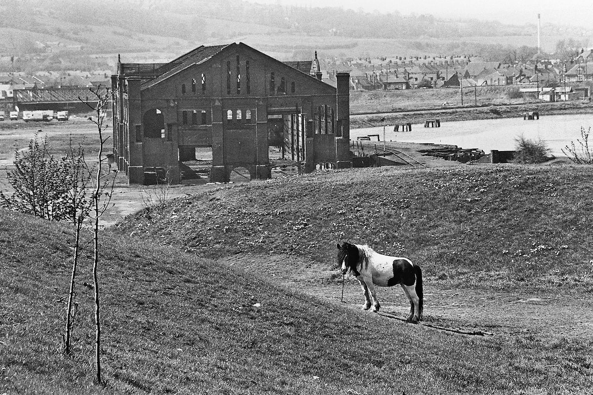
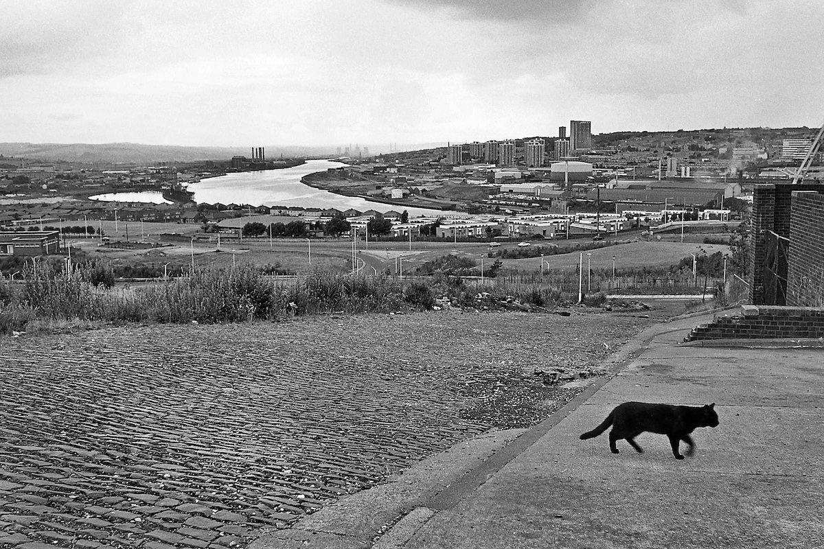
The riverside at Redheugh in 1980 still carried the remnants of Gateshead’s industrial past. The old gasworks building stood at the water’s edge before its demolition, a landmark that had served the town for decades. By the time Ermel’s camera captured it, its days were already numbered.
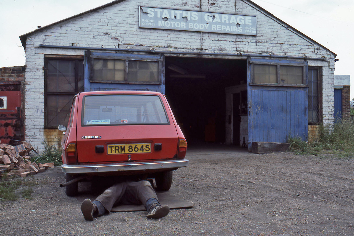
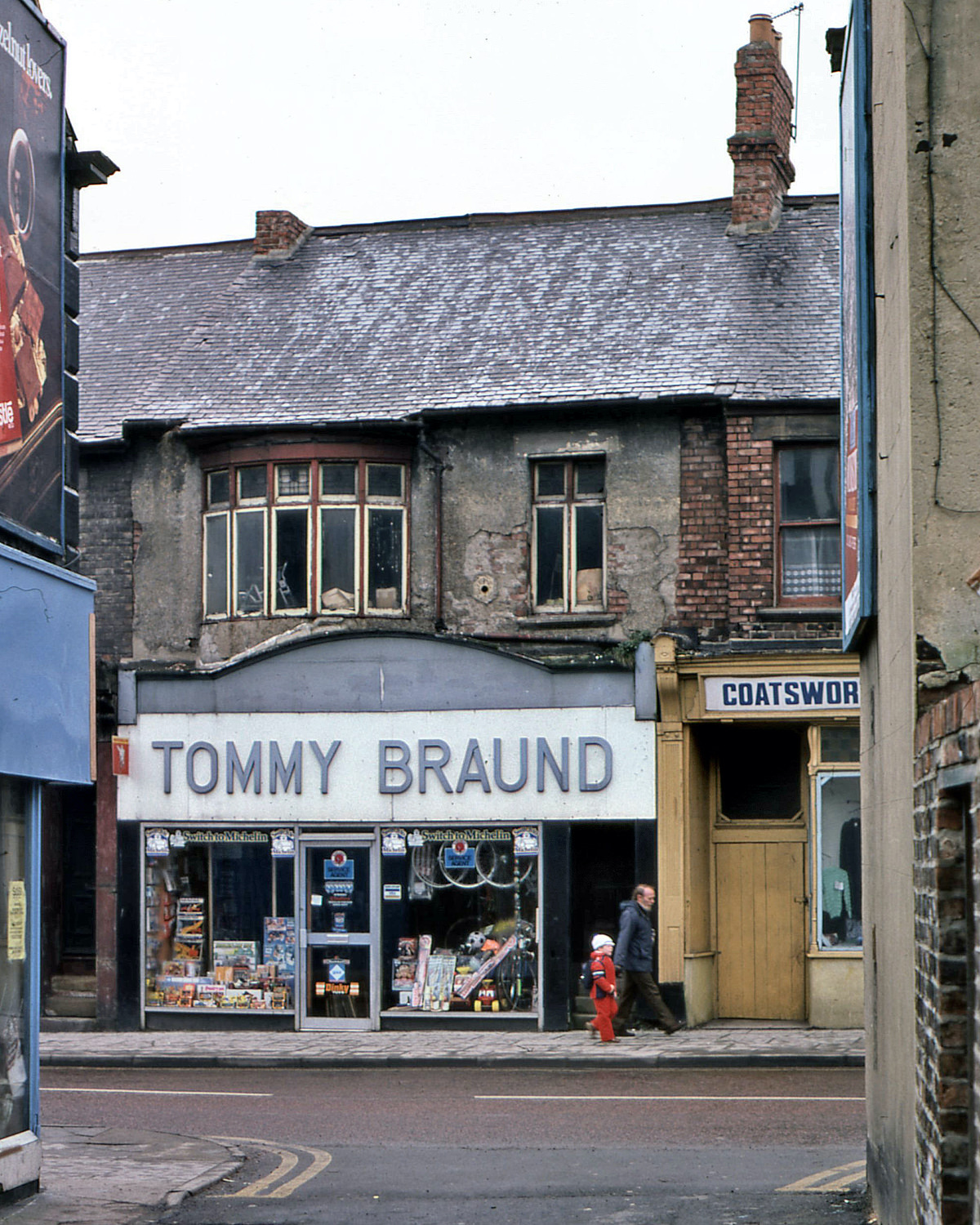
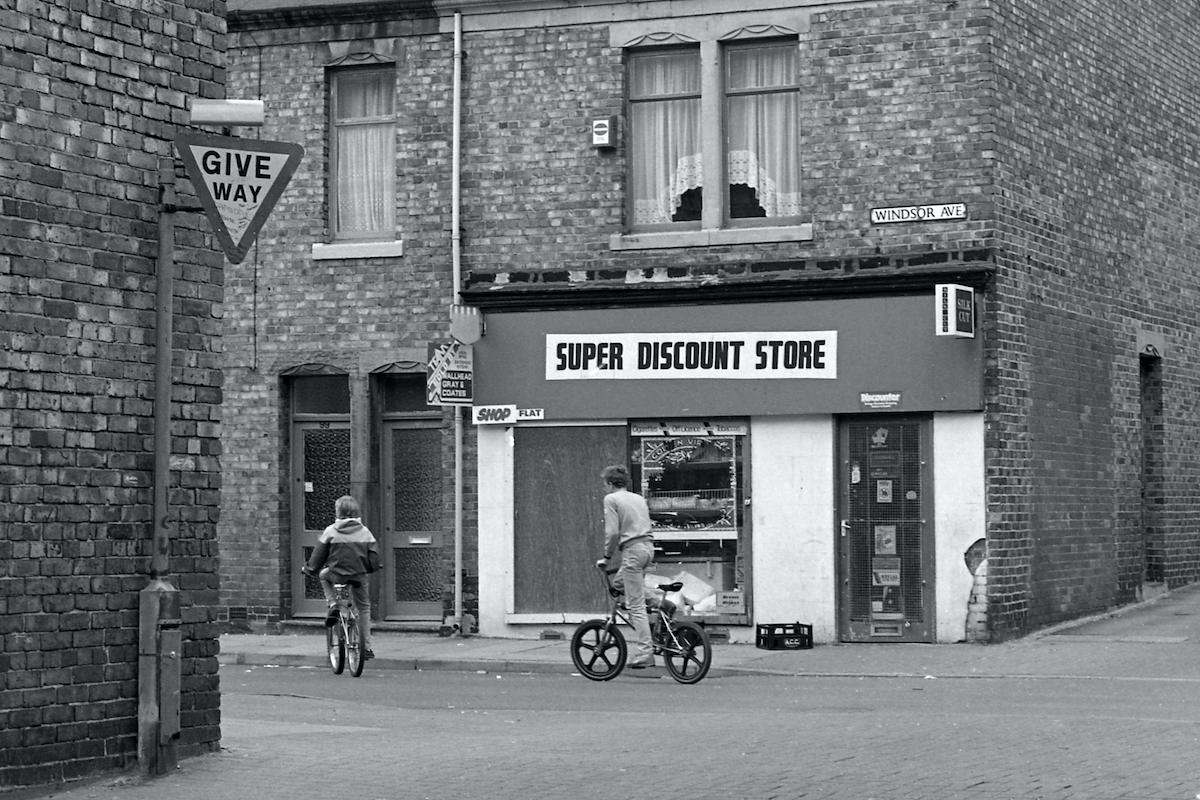
Staiths Garage in Dunston and the surrounding area were working parts of a town that still functioned as a manufacturing and engineering base, even as heavier industries had faded. These local businesses — garages, butchers, discount stores — kept the economy moving at street level while the bigger industrial picture was shifting.
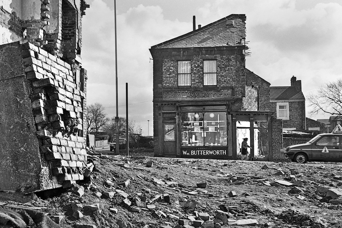
One of the more striking images from 1982 shows Wm Butterworth’s butcher shop still trading while demolition work tears apart the buildings around it. The shop remained open even as the street it sat on was being erased. It’s a sharp illustration of how Gateshead’s transformation affected people at the most immediate level — businesses clinging on while the neighborhood around them disappeared.
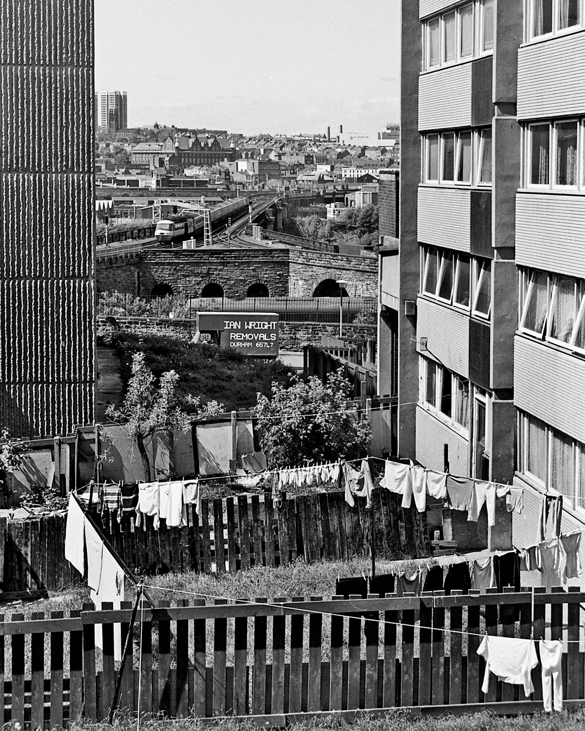
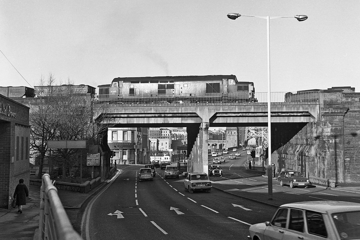
Bensham’s streets appear repeatedly in Ermel’s work, and for good reason — the area was undergoing rapid change throughout the decade. First Street in 1986 still had its terraced rows intact, though the wider district was being significantly altered by demolition and redevelopment programs running throughout the 1980s.
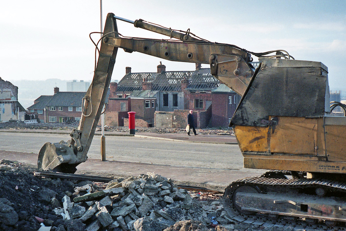
Before Gateshead Interchange took over, the old bus station on Wellington Street served as the main hub for bus services in and out of the town. By 1981, when Ermel photographed it, its days were already limited. The new interchange that replaced it was purpose-built to integrate bus and Metro rail services in one location.
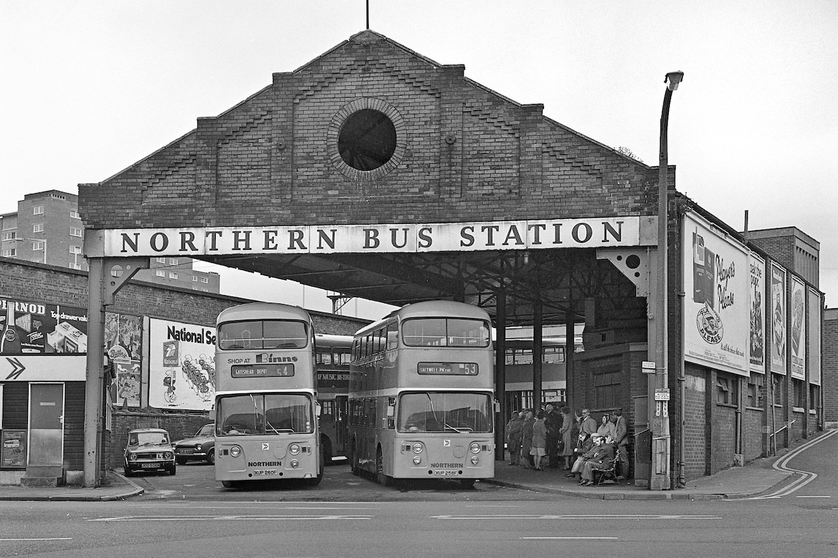
Bank Street, in the heart of Gateshead, was one of many streets that effectively ceased to exist during this era. By December 1980, only the last remnants of the street were still standing — a jagged row of surviving walls and shopfronts against a cleared site. Whole blocks that had been part of the town’s commercial fabric were gone.
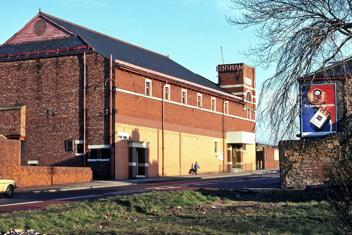
The Bensham Bingo Hall on Bensham Road had a previous life as a cinema before it was converted. By 1980, it was part of a Bensham Road streetscape that mixed residential housing, local businesses, and community venues. Many former cinemas across the northeast went through similar conversions during this period as cinema-going declined.
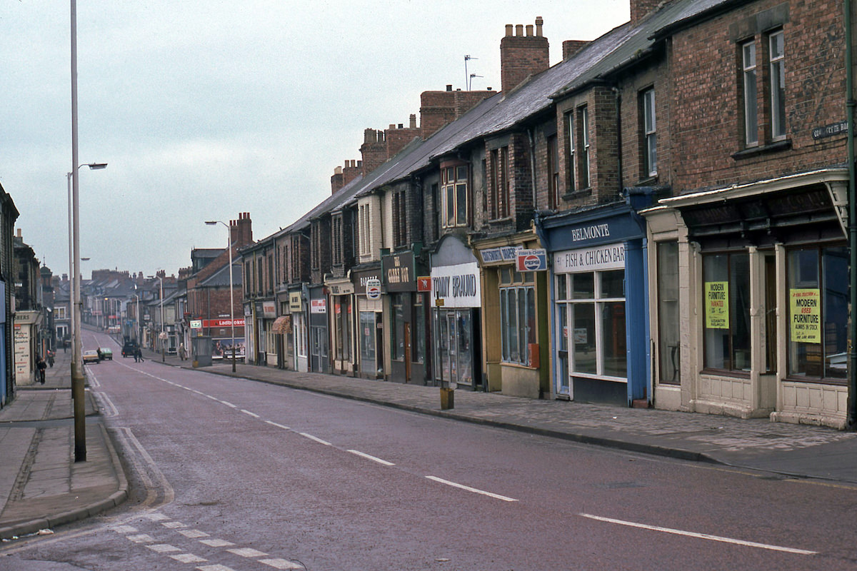
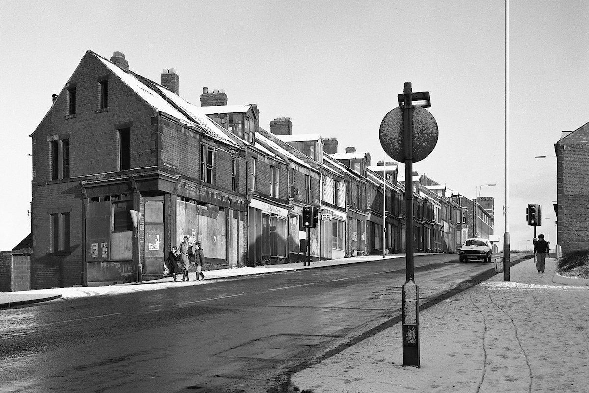
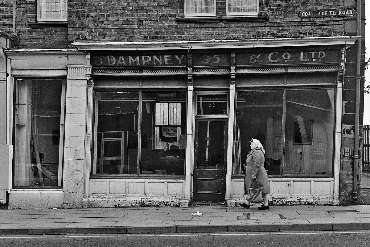
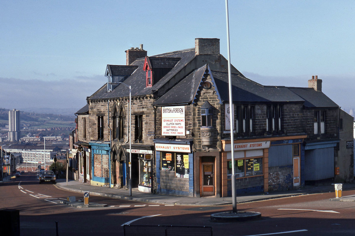
The junction of Derwentwater Road and Cuthbert Street gives a clear picture of how central Gateshead looked in 1980 — a mix of older commercial buildings, some already showing signs of wear and abandonment, sitting alongside streets that were still fully in use. Two years later, the shop at that same corner had been reduced to ruins.
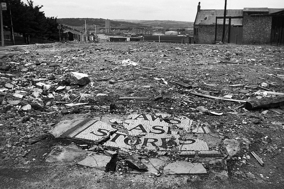
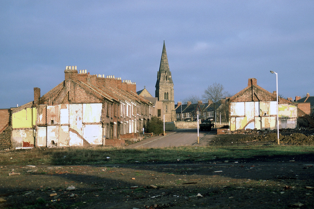
Second Street in Bensham, photographed in 1987 as demolition reduced it to little more than rubble, still offered a clear view toward St. Cuthbert’s Church. The church became a recurring anchor point in Ermel’s images of the area — a fixed structure visible above the cleared lots and broken streets as everything around it changed.
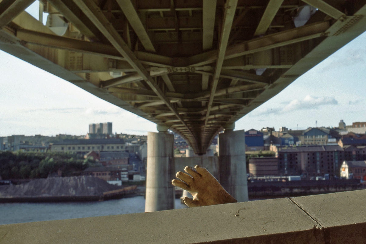
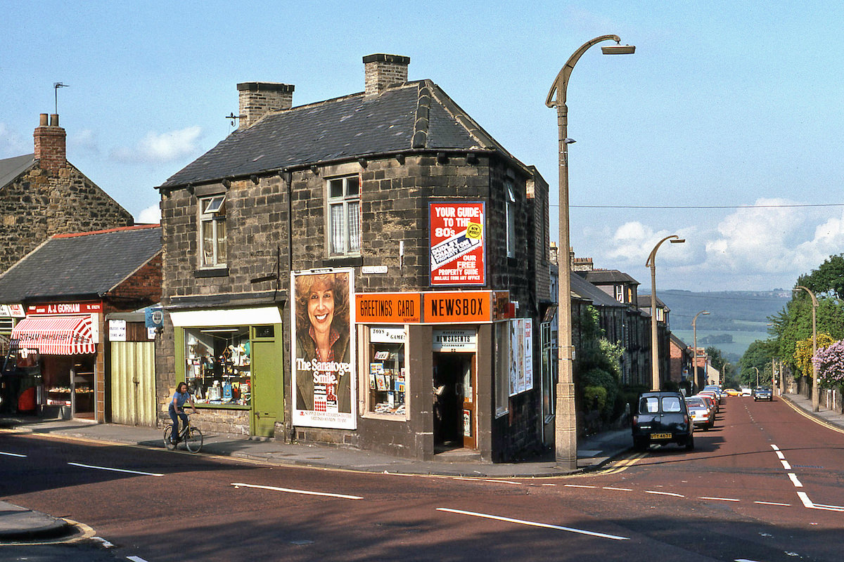
Dunston Power Station, which once dominated the skyline along the River Tyne, was still standing in 1987 when Ermel photographed it, though it has since been demolished. The power station was a defining feature of the Dunston area for much of the 20th century, its cooling towers visible from a wide distance across Gateshead and beyond.
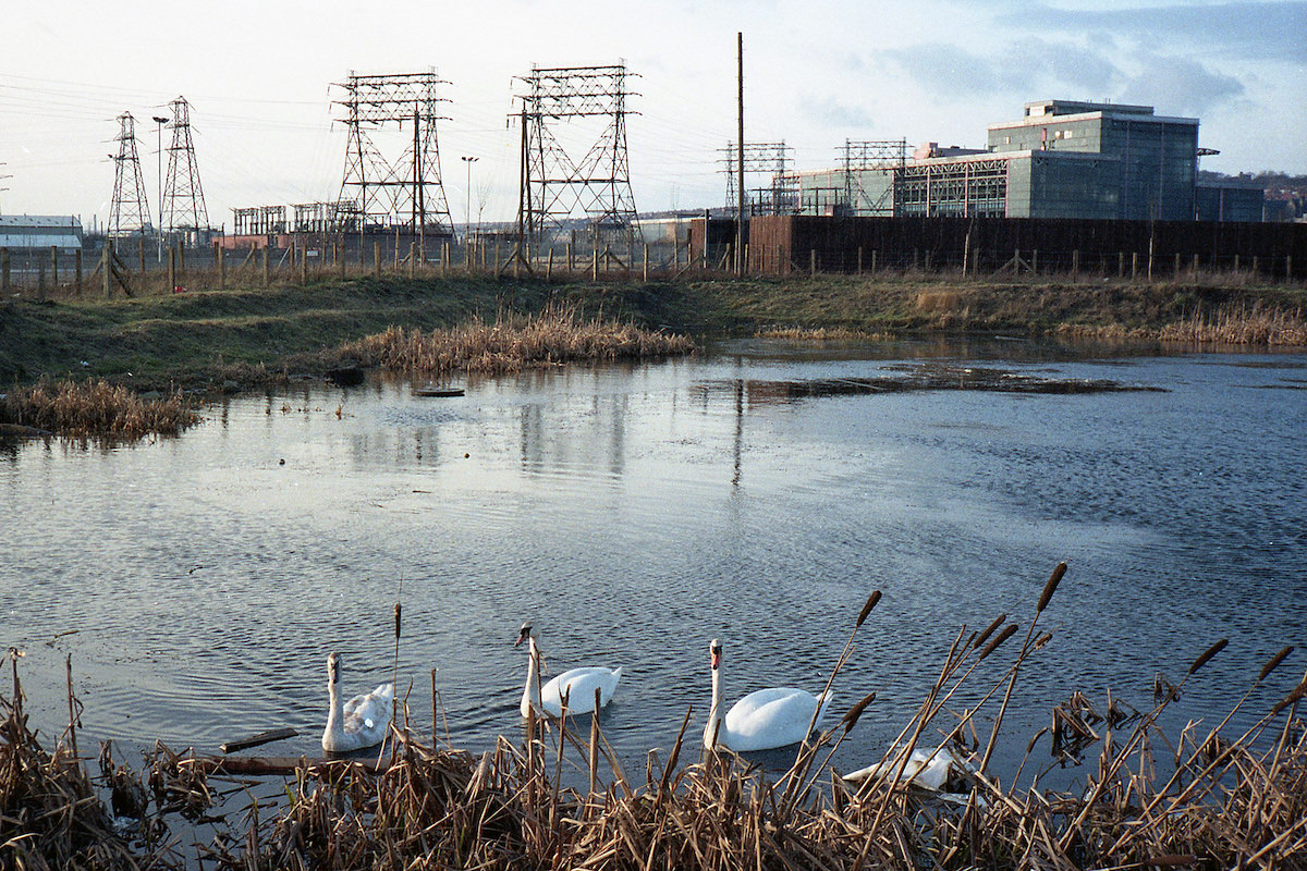
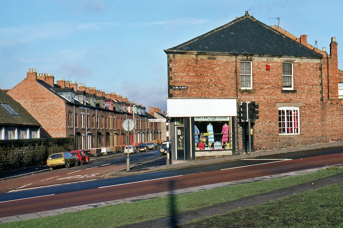
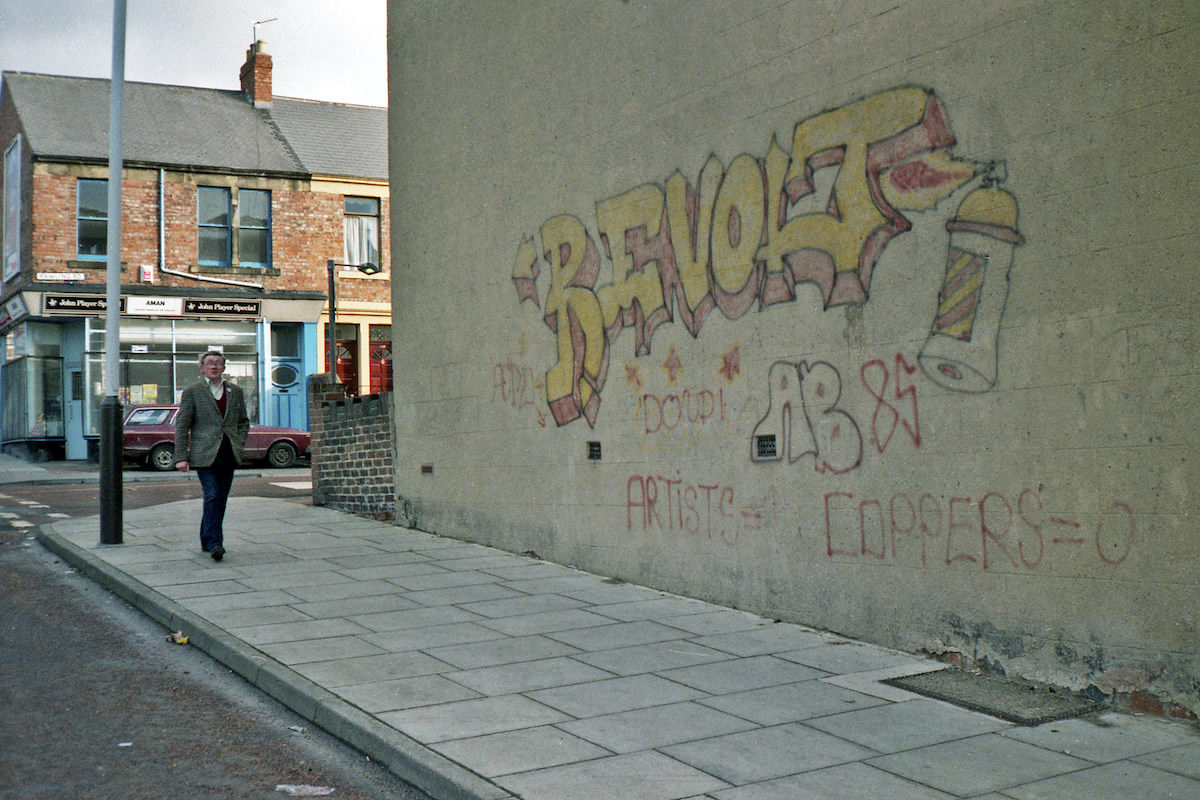
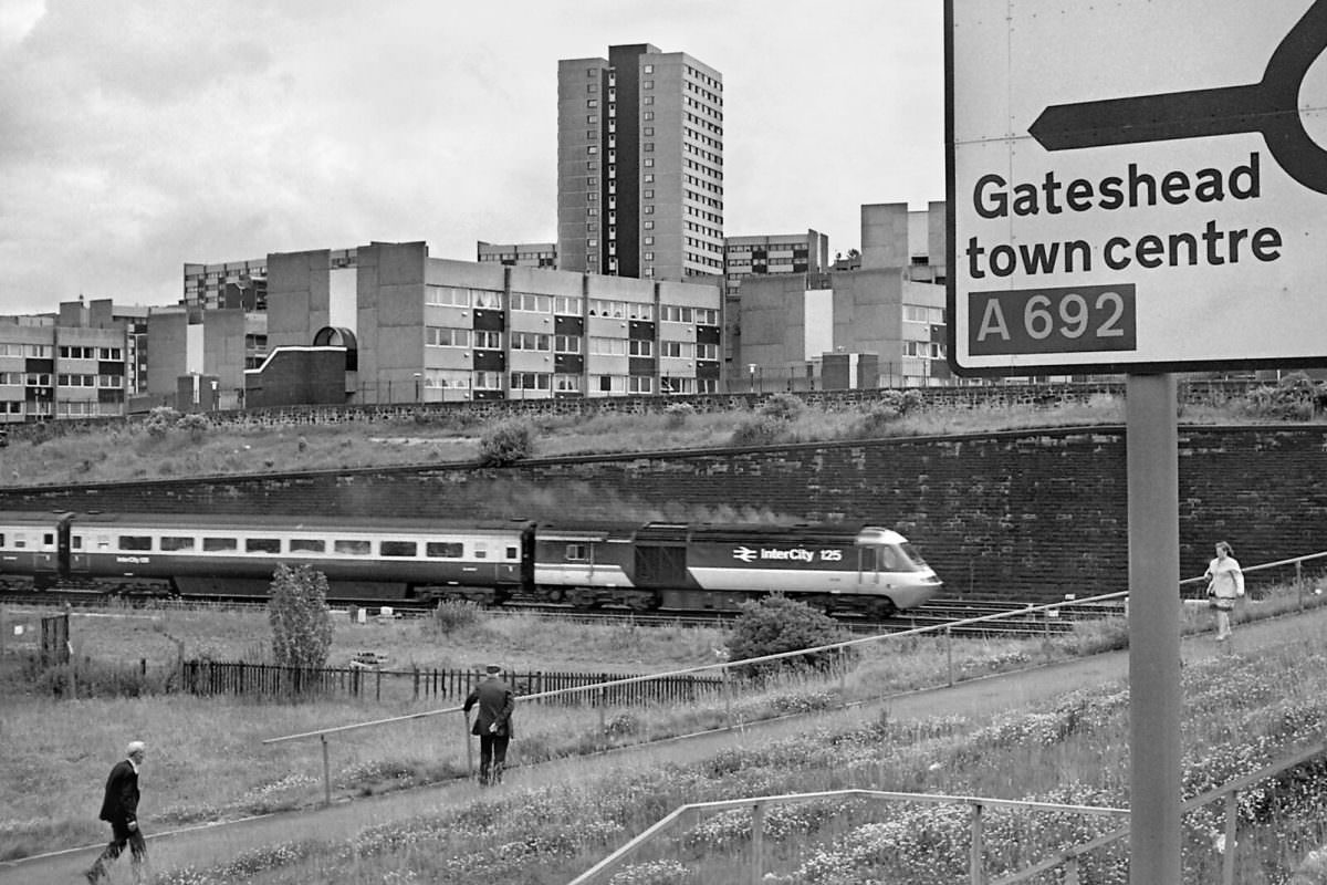
Train spotting was a serious pursuit for many in the northeast, and the rail lines running through Gateshead gave enthusiasts plenty to photograph. From Elysium Lane near the old Bensham station site, a southbound HST was captured in May 1985 — one of many rail images Ermel took throughout the decade that document both the trains and the changing landscape around the tracks.
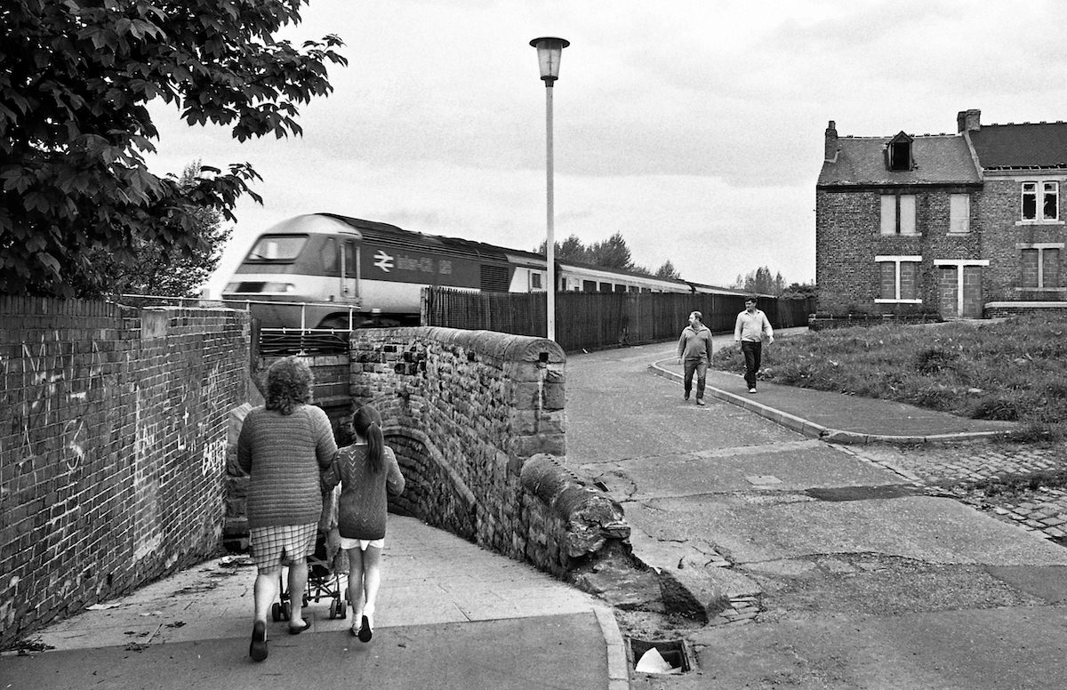
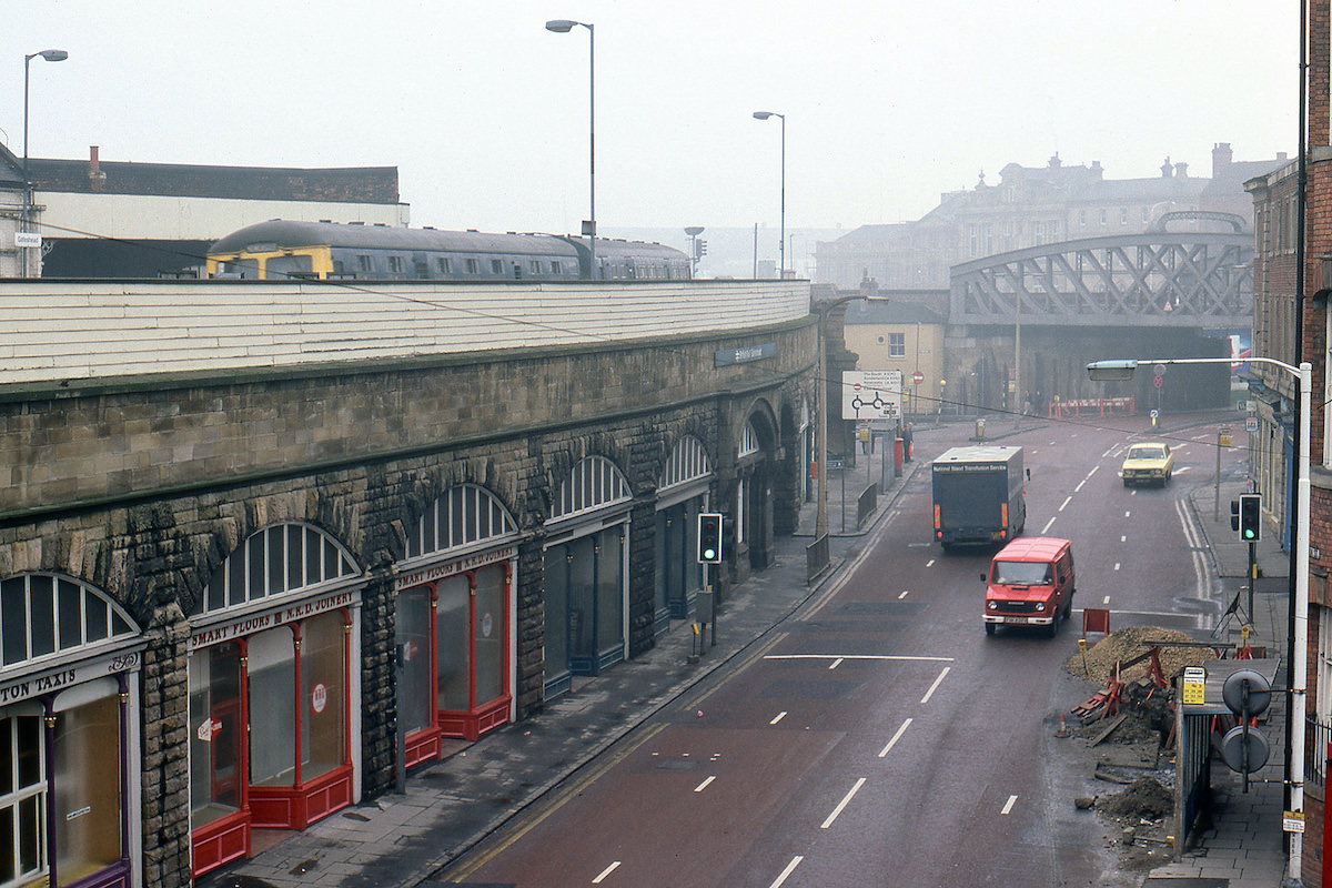
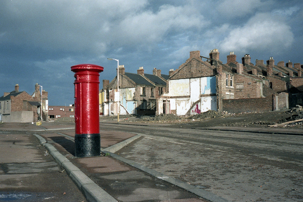
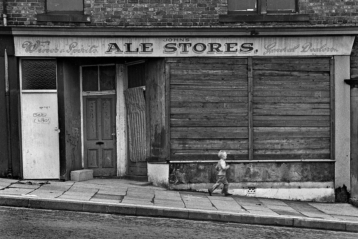
Derwentwater Road in September 1980 still had derelict shop fronts standing where businesses had once operated. These empty, boarded-up shells were common across Gateshead’s older commercial streets during this period, as the town’s economic base shifted and many smaller retailers could no longer compete or sustain a presence.





It’s incredible how much and how little has changed. The most amazing is that Ping On is still open and looks the same.
I spotted that too.
Fabulous Photos. But things are better than they were
I forgot about Carrick’s!
So many independent shops… nowadays I bet it’s all bookies and charity shops
Does anyone have any pictures of the Teams area of Gateshead in the 1980s/90s?
I had a Nana who lived there, but I can’t find a single picture of the area from that time period.
She lived in the maisonettes that looked out onto Askew Road. The maisonettes were ontop of a row of shops, and there was a pub on the end.
Can anyone help with this please?