Bakersfield is located on the Kern River and is geographically near the southern end of the San Joaquin River at the base of the San Joaquin Valley. Native Americans have lived on this site for many generations, as it is where the first settlers discovered Native Americans remained in 1851. The discovery of gold attracted the first settlers to the area. While some gold was found in the surrounding hills, most of it was found at the bottom of the Kern River.
When many people began to settle into the valley, it became apparent that plans needed to be made for everyone. Colonel Thomas Baker was assigned the task, and by 1869 he had successfully laid out the growing city. A name for the town was chosen by finding something of importance and gaining its meaning from it. Baker had designed the town layout, so he decided to look in his ‘backyard’ for the town’s name. When Baker surveyed his property, he determined that the city should be named after an alfalfa field, creating Bakersfield.
Bakersfield continued to grow during the Gold Rush. There was still gold to be found, but it was becoming less common in the hills and on the river. When the railroad to Bakersfield was built in 1874, the town had become a center of trade and distribution. Bakersfield’s residents developed a broad range of industries to maintain the town’s diversity in the face of a decrease in gold production. Kern River irrigation paved the way for a significant increase in grain farming, alfalfa, and watering livestock in Bakersfield. As soon as oil was discovered in 1899, the town’s development took a dramatic turn.
#1 Indians in Tejon Ca~non (canyon), 1880s
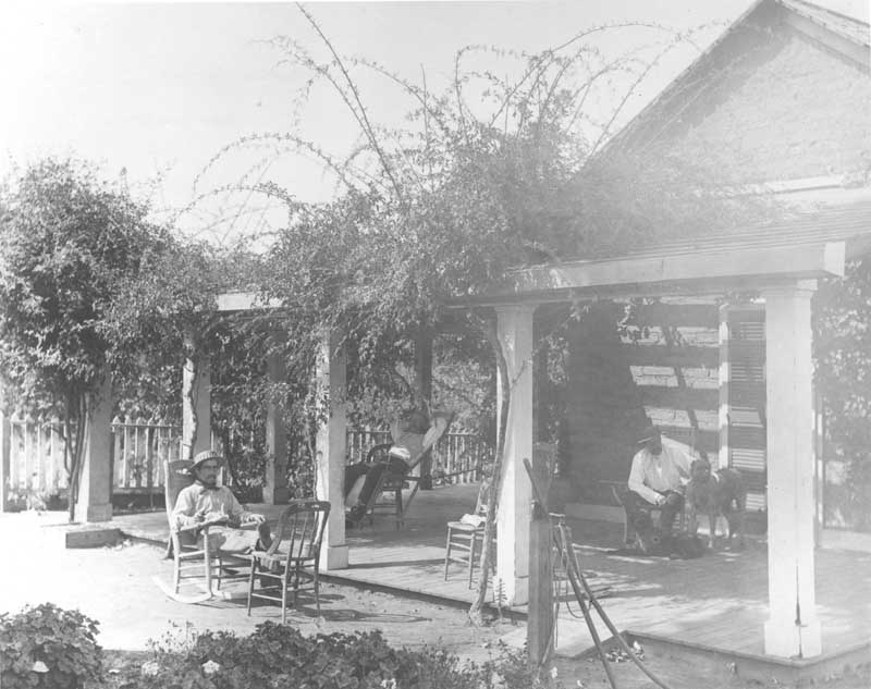
#2 To the manor born, 1880s
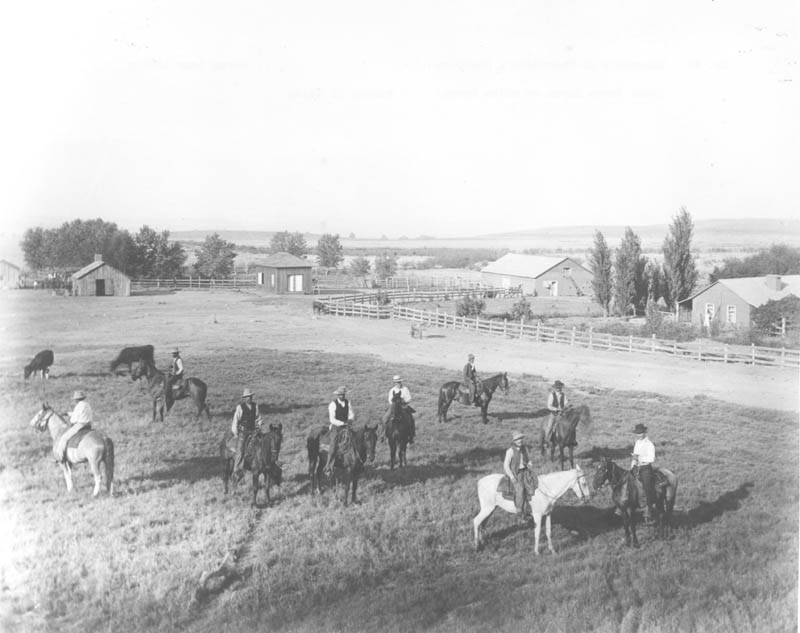
#3 Vaqueros at majordomo’s quarters, 1880s
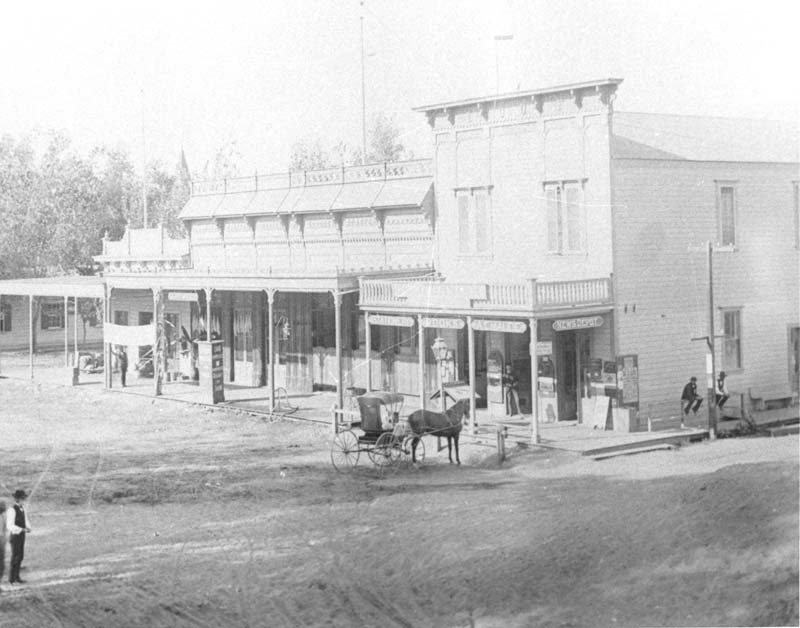
#4 Bakersfield Street, 1882
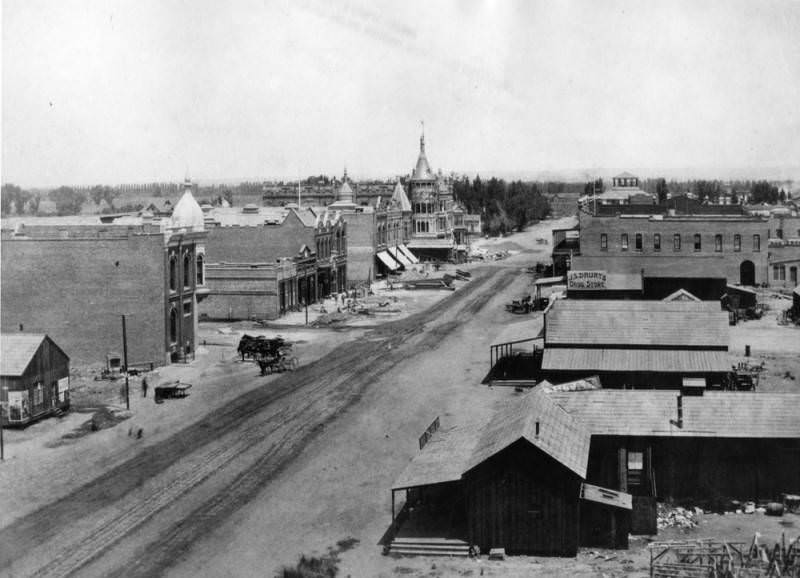
Panoramic view of a street in Bakersfield. Horse-drawn vehicles are seen on the dirt street, and building materials are also on the street, next to a building where work is being done. Empty fields are visible at left. At right is J.S. Drury's Drug Store, as well as other shops
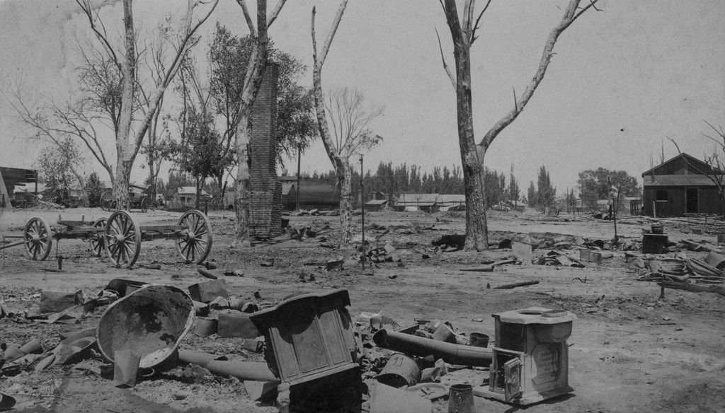
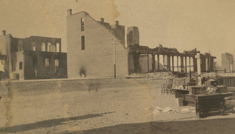
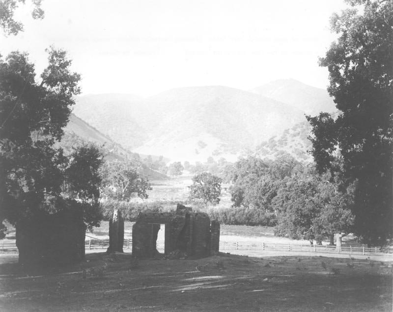
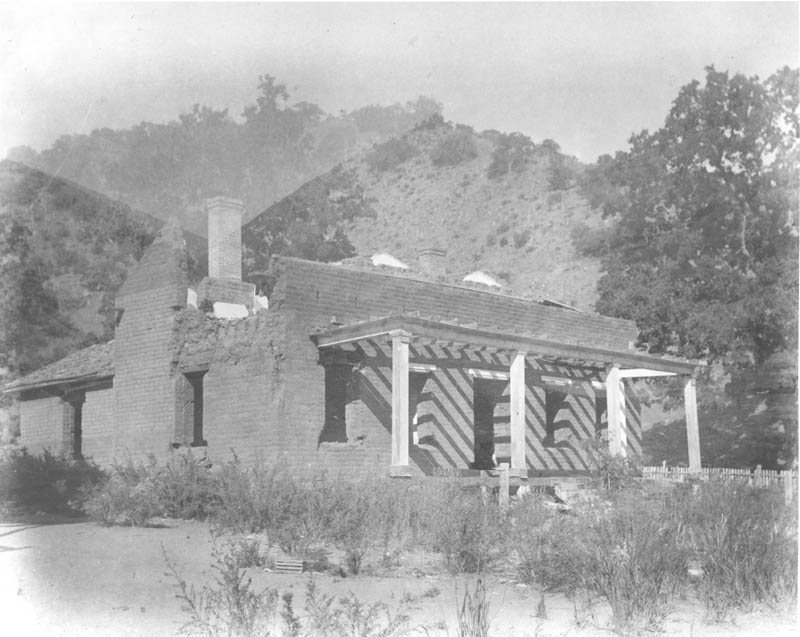
#5 Ruins of the Southern Hotel, 1889
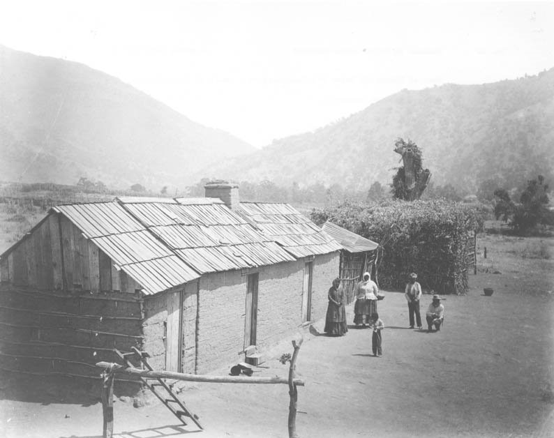
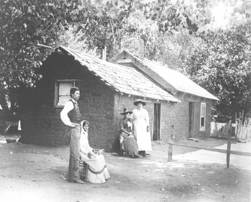
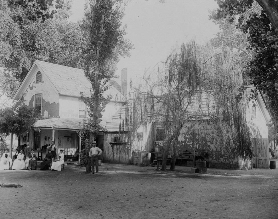
#6 A Mexican family (Juan Levis and three women) in front of a house on Rancho El Tejon, 1880s
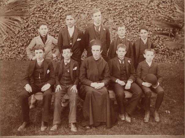
#7 Spanish Society, no., 1893
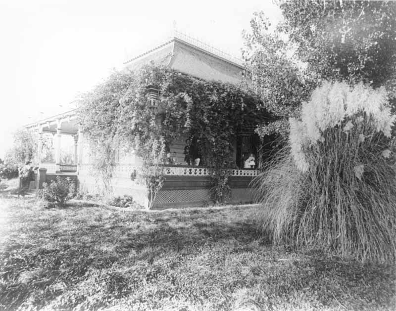
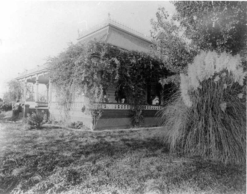
#8 Robert M. Holtsby’s Bakersfield home between, 1891
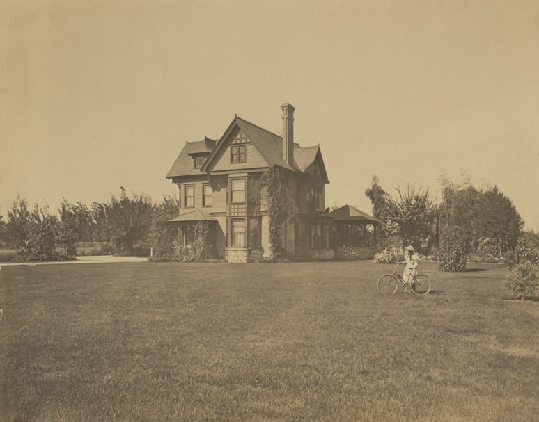
Shows house set back among trees and lawn. Constructed of stone, brick and scalloped shingles, has three stories, bay and dormer windows and gazebo on back side of house. Young lady with bicycle in front, right side. Home of Canadian-American Robert M. Holtby, wife Celia (Woodman) and daughter Roberta. Mr. Holtby was sheep farmer, building this home in Bakersfield in 1891.
#9 Southern Hotel, Bakersfield, 1891
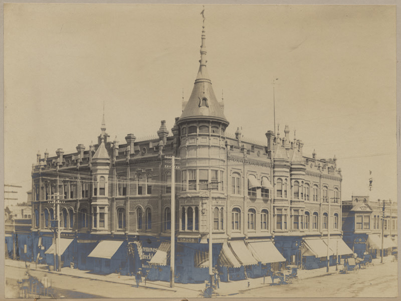
Shows three-story Southern Hotel occupying the corner of 19th & Chester Streets. Pedestrians walk sidewalks, horse and buggies stopped along road, bicyclist on corner. Scribner Block building and White Star Steam Laundry visible in right corner. Built in 1889 for Southern Hotel Association. Architectural drawings by Benjamin G. McDougall and Son of San Francisco and San Diego. Built by contractor William J. Doherty.
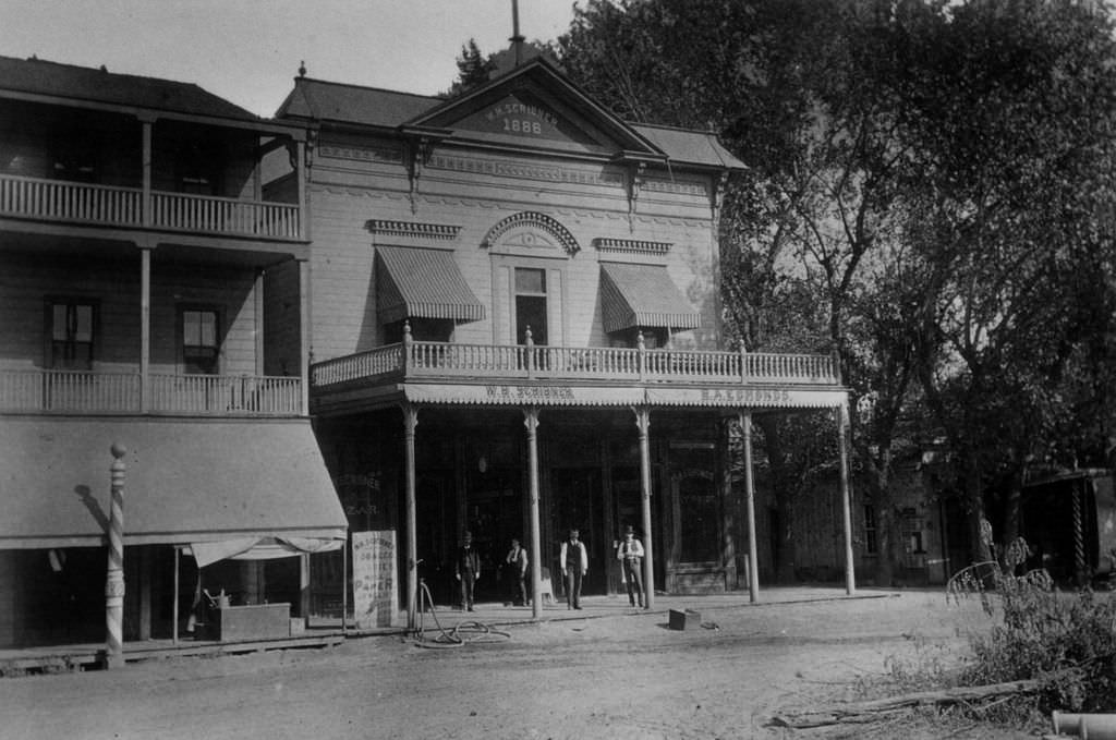
#10 W.H. Scribner Building, Chester Avenue, 1886
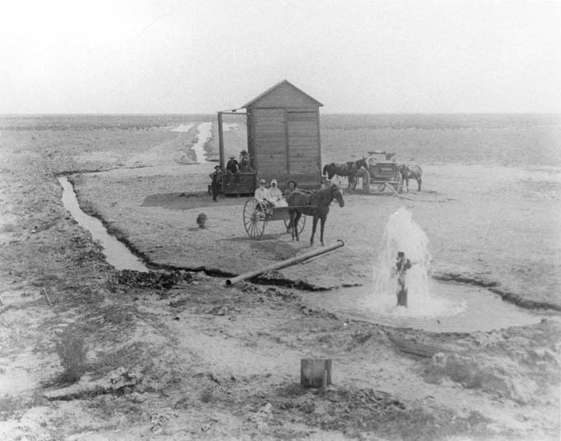
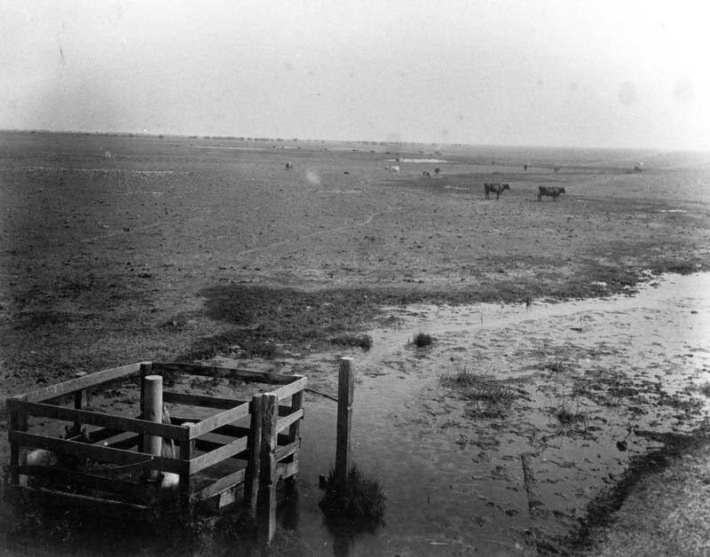
#11 Artesian well west of Bakersfield, 1880s
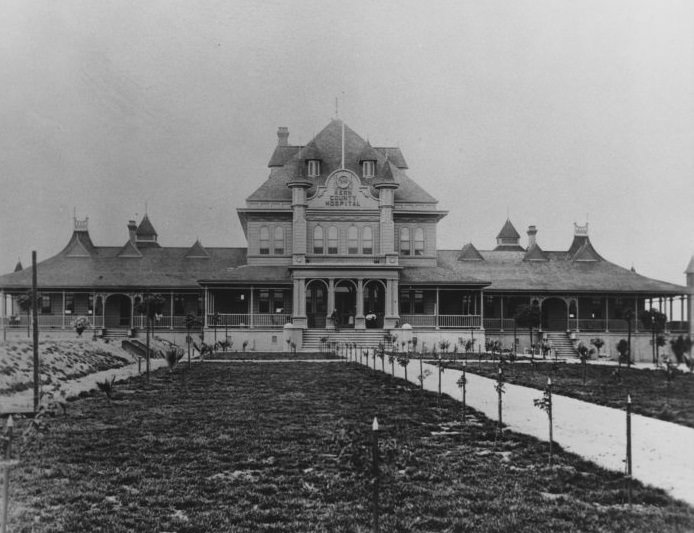
#12 Kern County Hospital, 1896
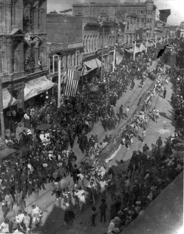
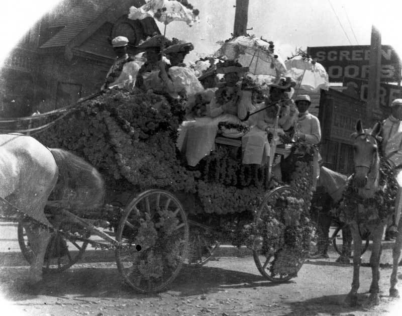
#13 Holiday parade, 1896
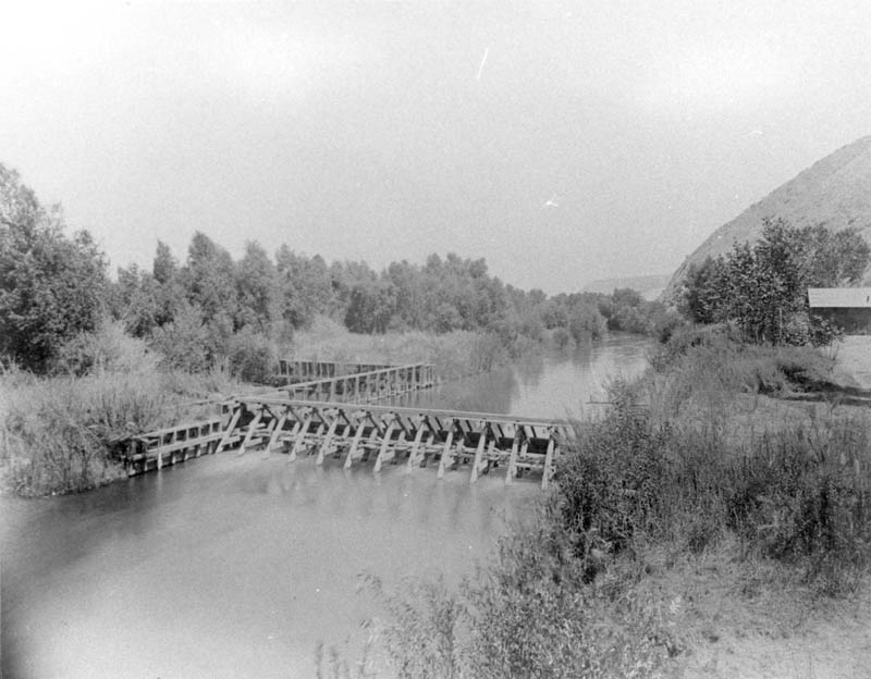
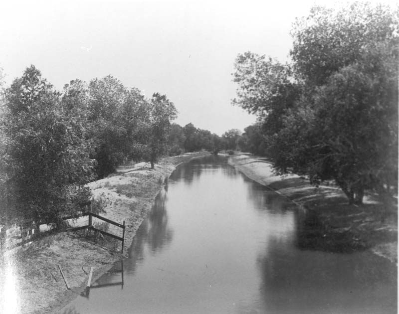
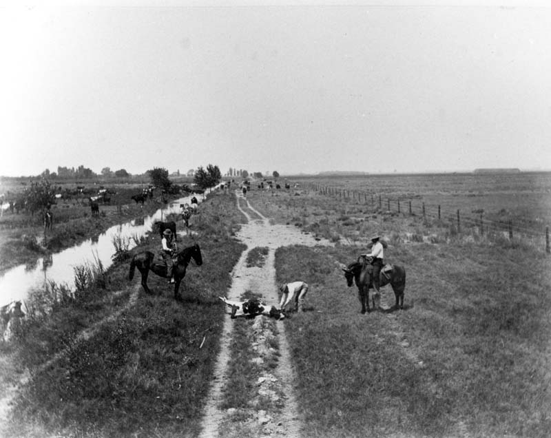
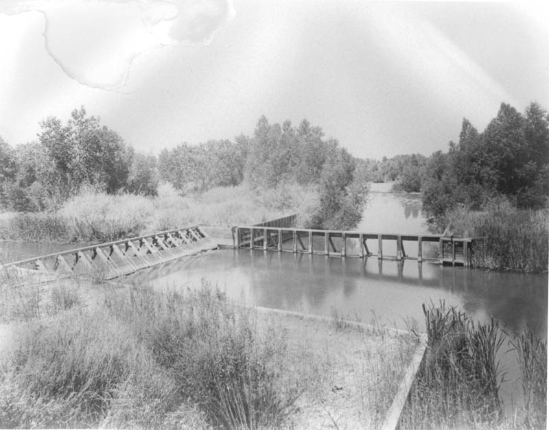
#14 The Calloway canal, 1880s
#15 Wagon decorated for a holiday parade, 1886
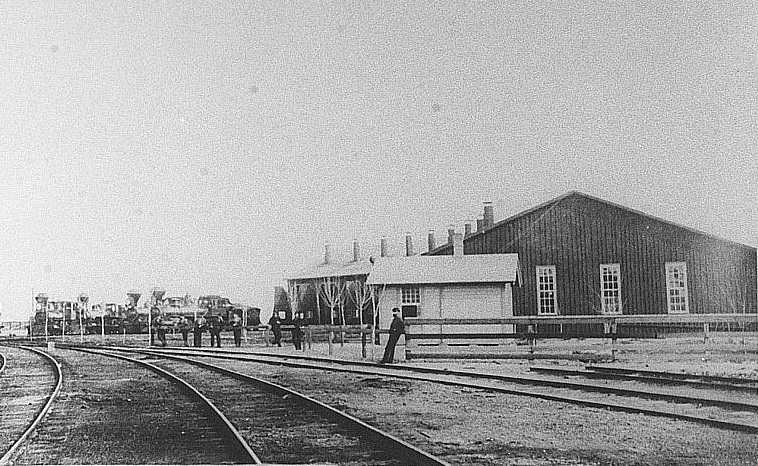
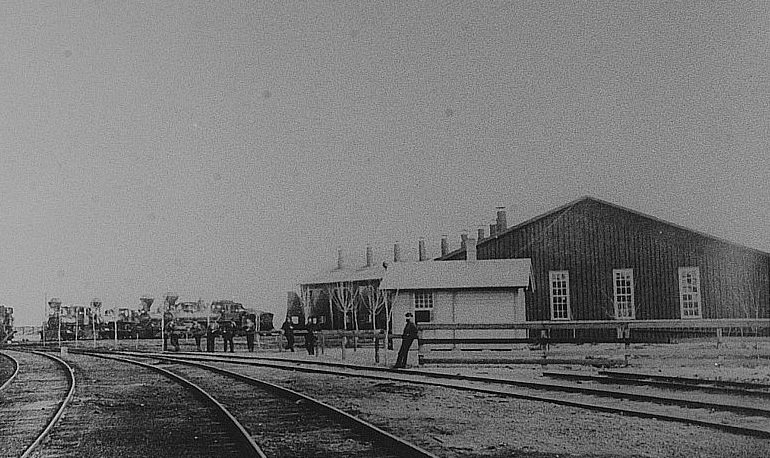
#16 Sumner Southern Pacific Railroad Roundhouse, 1882
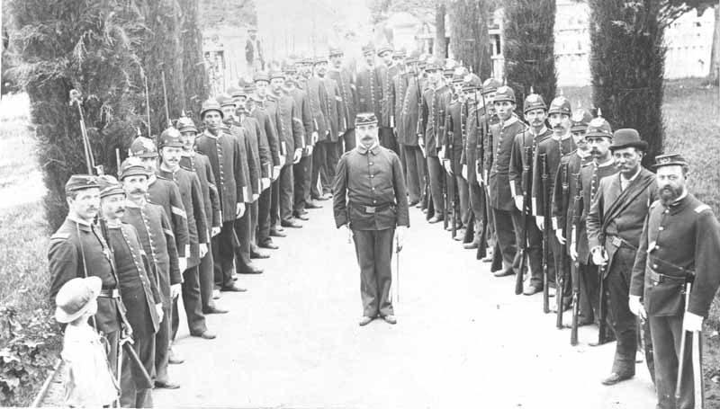
#17 The Kern Guards, 1890
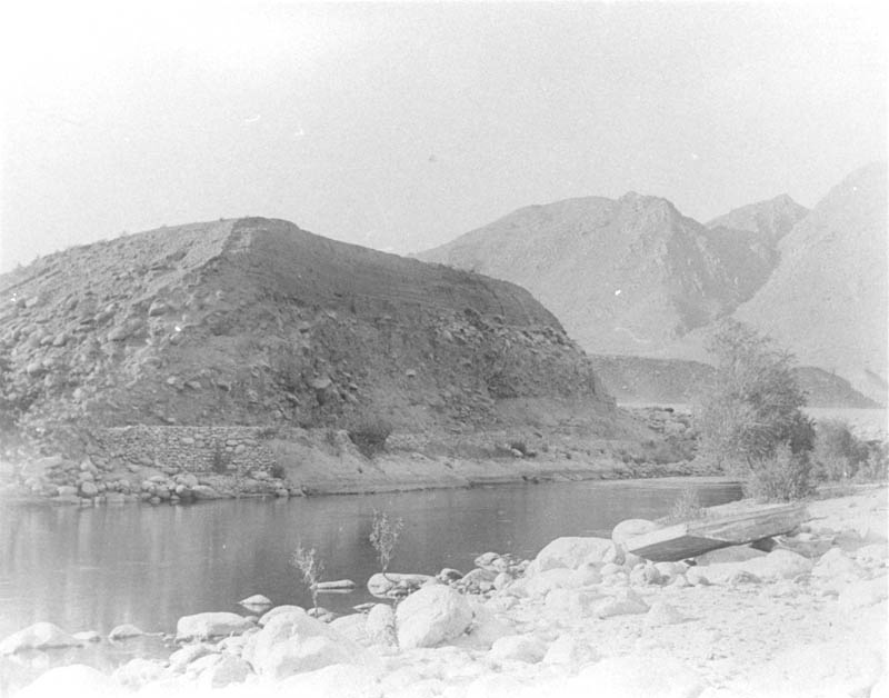
#18 Kern River at the canyon, 1880s
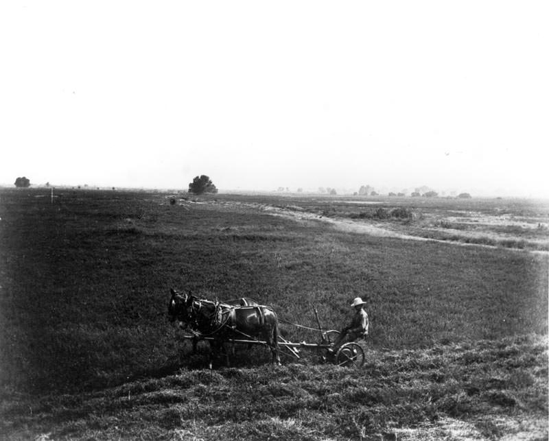
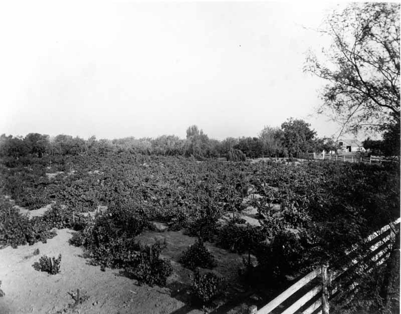
#19 Lakeside Ranch field, 1880s
#20 Rose station, 1880s
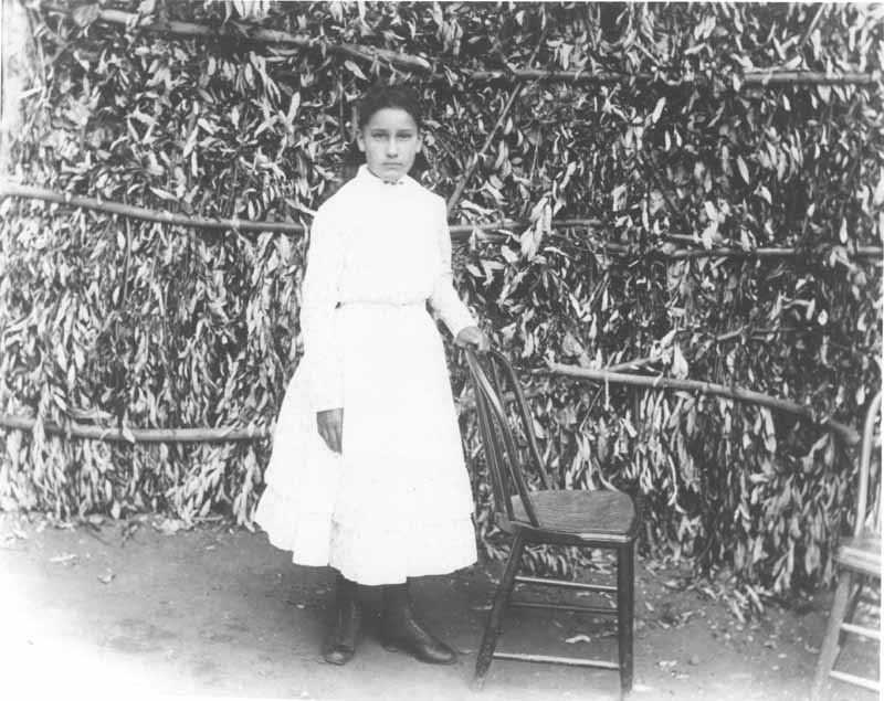
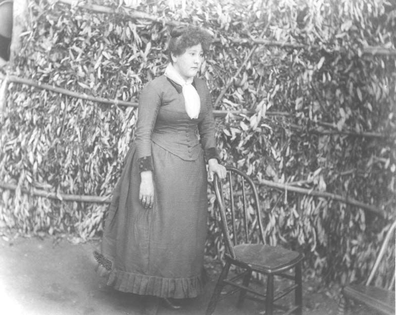
#21 A daughter of Jimmie Rosemyre posing. Photo taken on Ranch El Tejon, 1880s
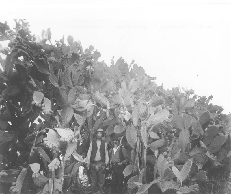
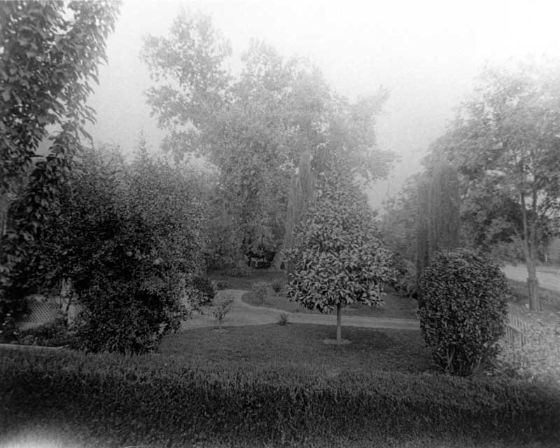
#22 Tuna’s hedge, 1880s
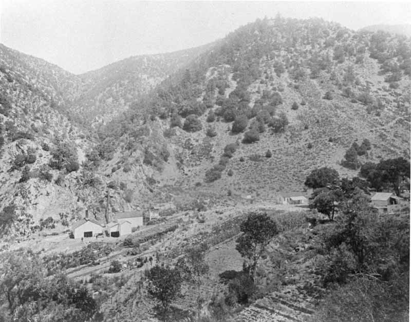
#23 San Emigidio mine, 1880s
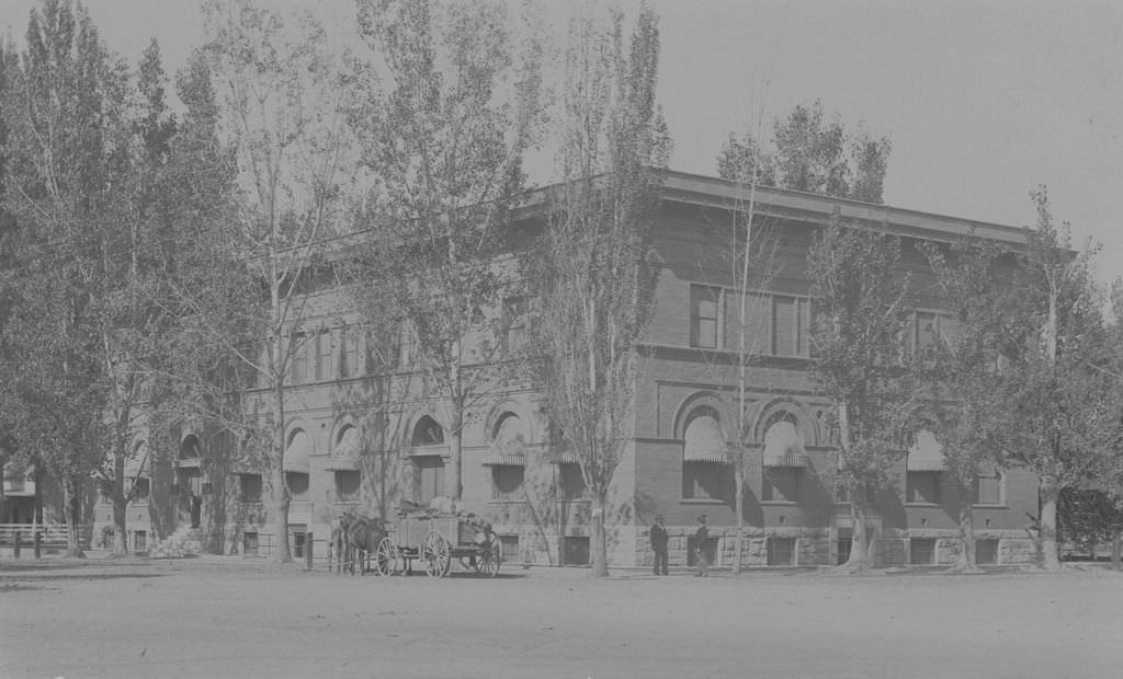
#24 Kern County Union High School, 1895
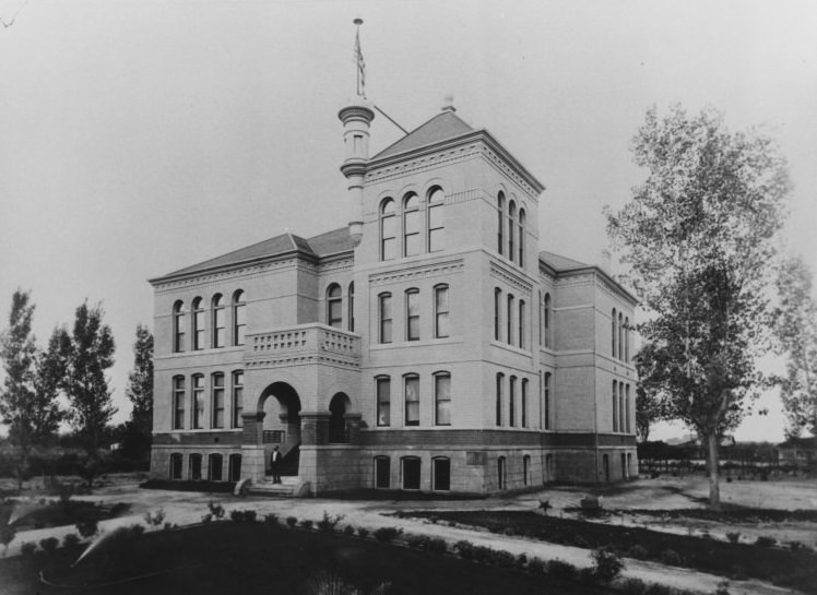
This was the first school building to be built on the current site of Bakersfield High School. Kern County Union High School, as it was then known, moved classes to this building in 1895. The building was later known as the Commercial Building after other buildings were added to the campus. The building was torn down in 1936 and Elm Grove was established in its place.
#25 Southern Hotel, 1890s
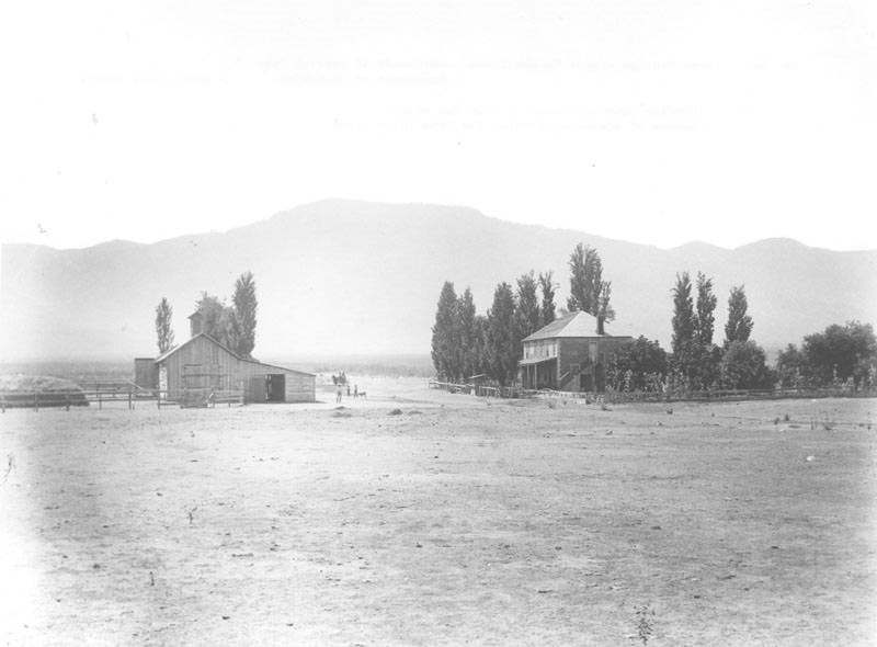
#26 Alameda Farm, 1880
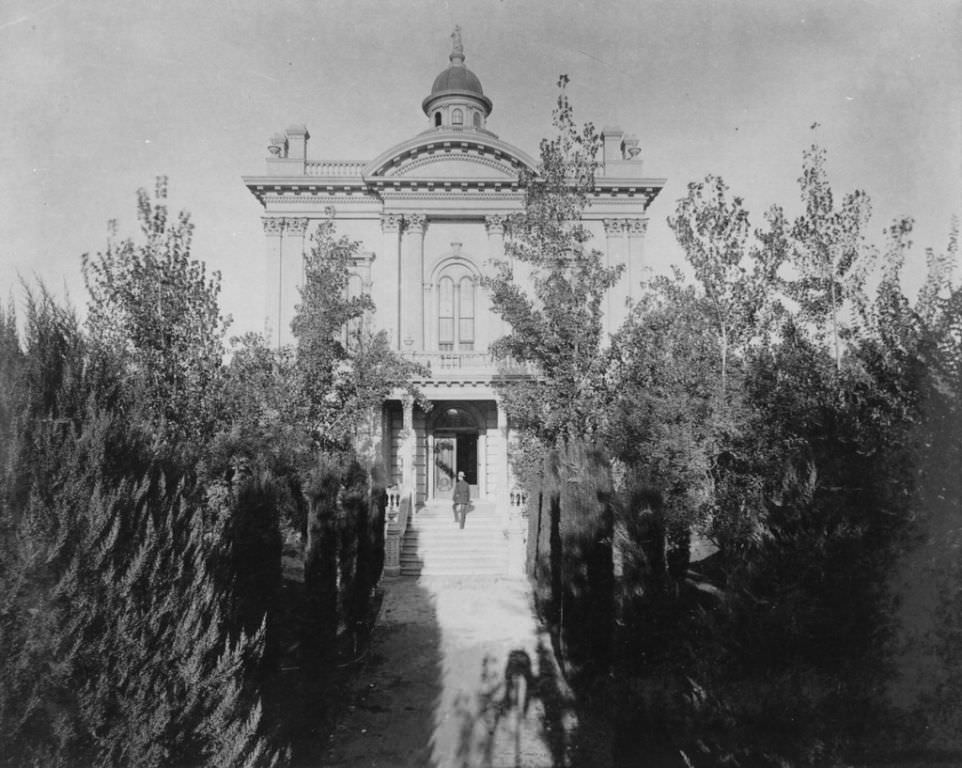
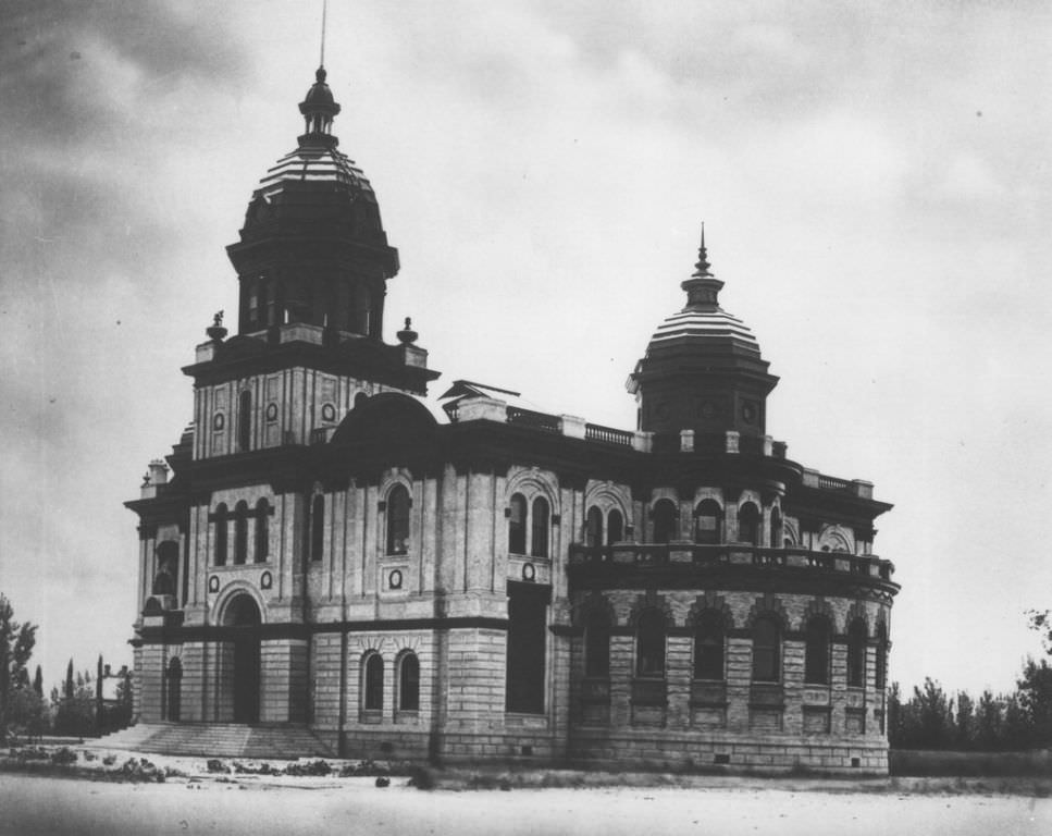
#27 Kern County Courthouse, 1880
#28 Ingleside Hotel, 1890
#29 Ruins of the Southern Hotel, 1889
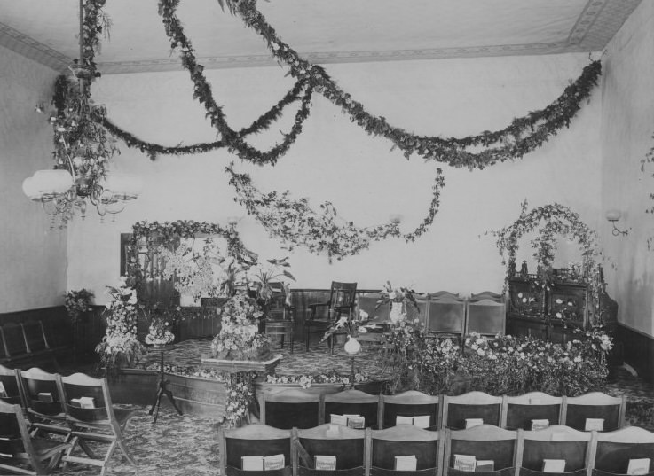
#30 Interior, First Methodist Church, 1893
#31 Kern County Land Company Building 1894
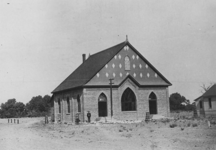
#32 First Baptist Church circa 1890
#33 Glennville Street Scene, 1880s
#34 Blodget residence, 1889
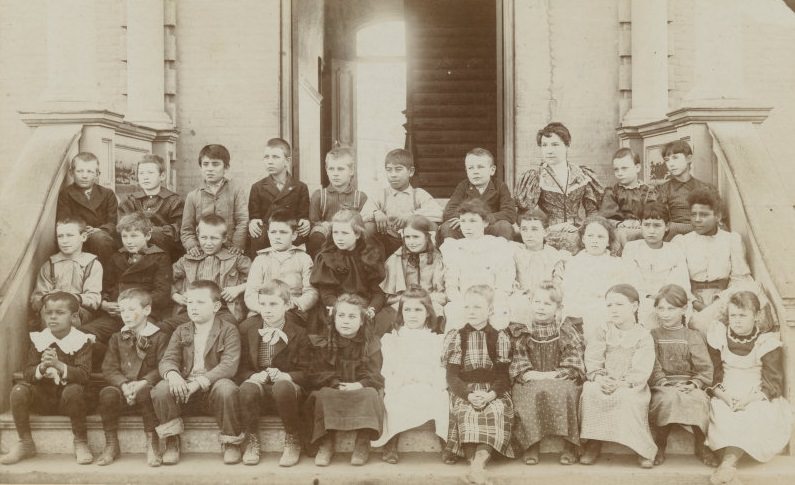
#35 Third-grade picture of Viola Stoner and classmates, 1896
#36 Kern Island Canal headgate, 1880s
#37 The Creasy Ranch, 1880s
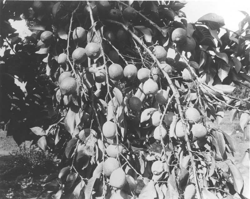
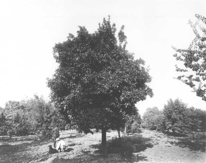
#38 Branch of lemons, 1880s
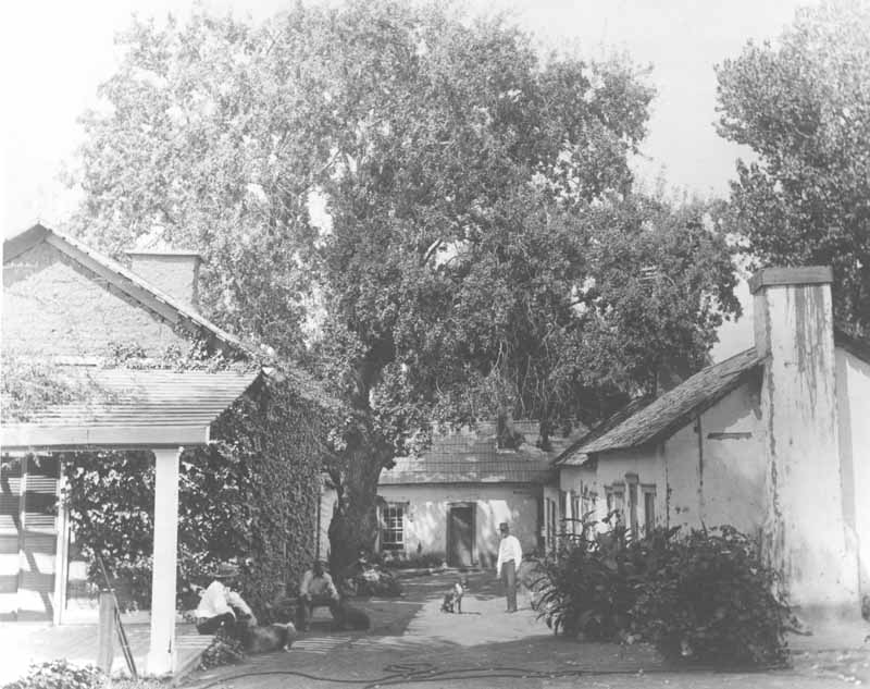
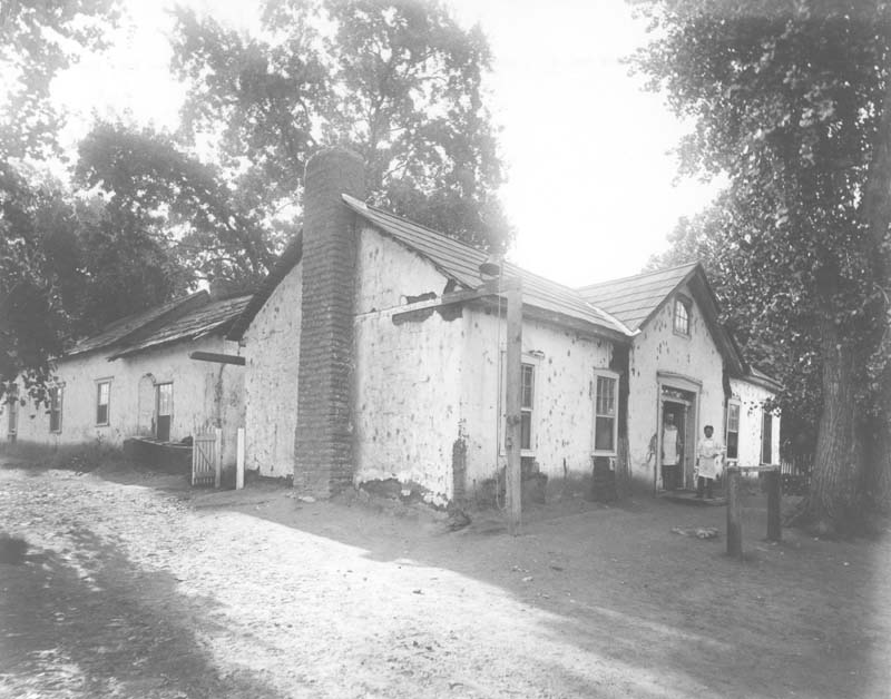
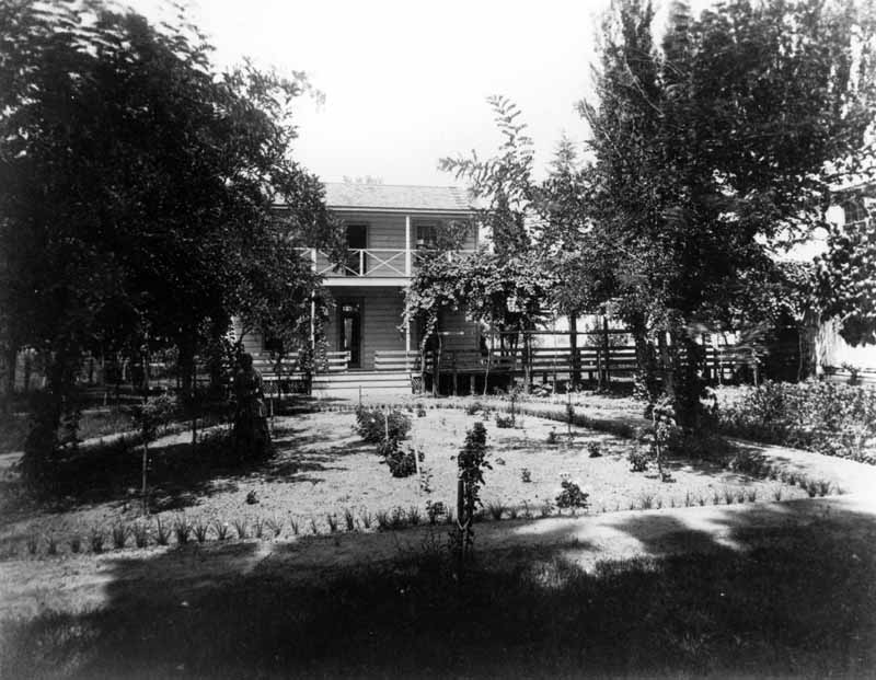
#39 Adobe ranch house patio, 1880s
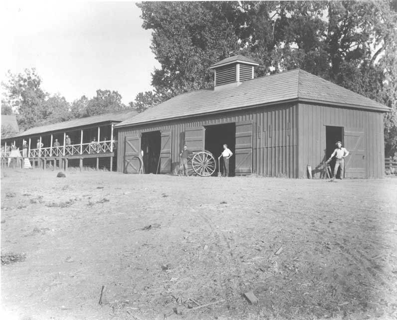
#40 Blacksmith shop and men’s quarters, 1880s
#41 Rancho El Tejon patio, 1880s
#42 Bellevue Ranch 1880s
#43 The Pioneer canal, 1880s
#44 Rosemyre, 1880s
#45 Blodgit’s residence, 1889
#46 Stockdale, 1880s
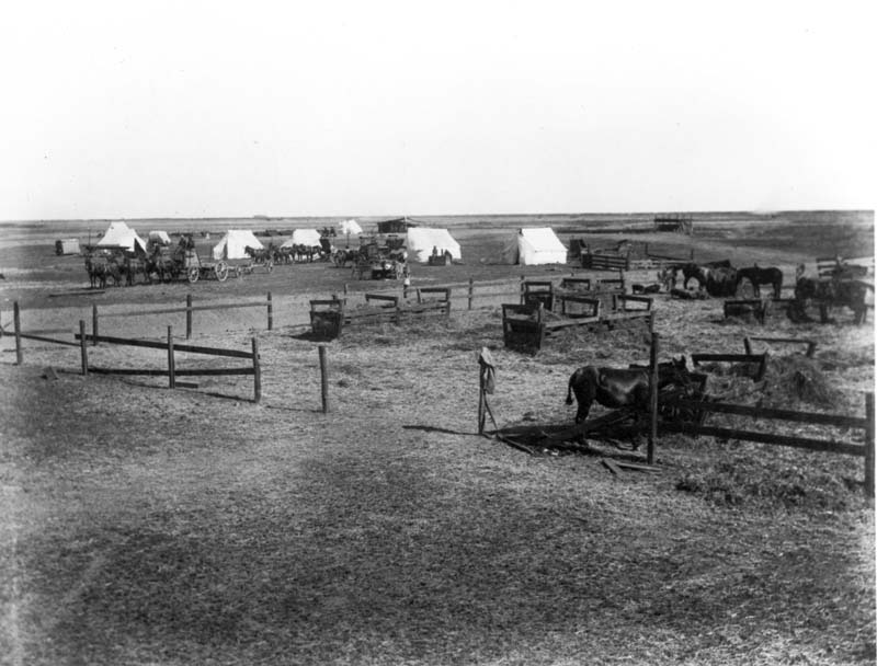
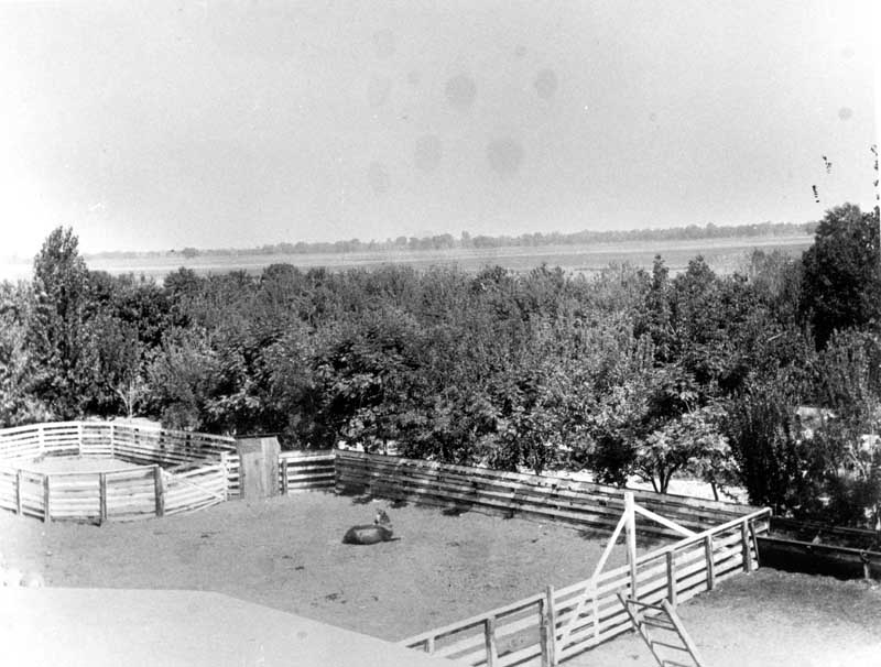
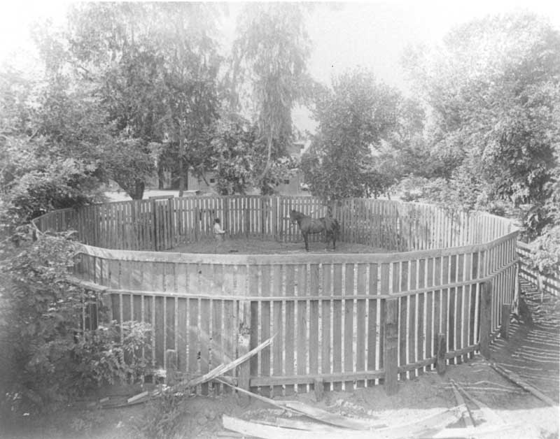
#47 Bellevue Ranch corral, 1880s
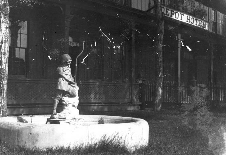
#48 Depot Hotel, 1880s
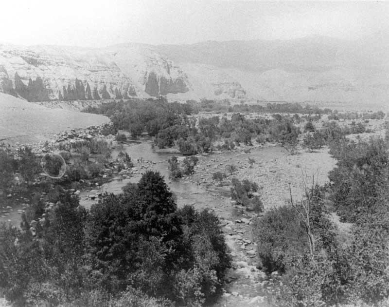
#49 Upper Kern River 1880s
#50 Chester Avenue, 1880s
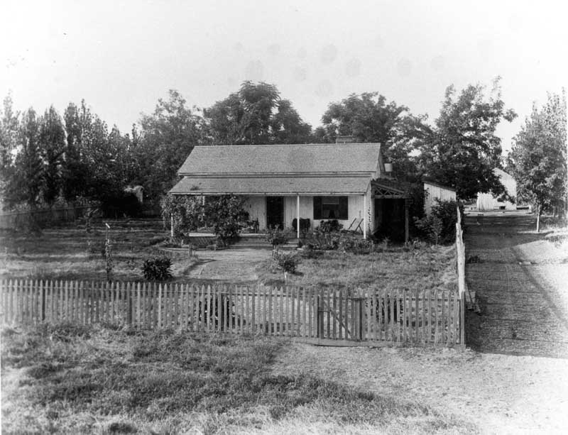
#51 Brower house, 1888
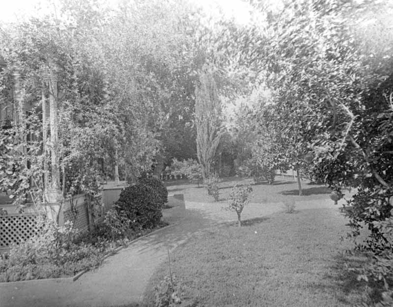
#52 Orange trees, 1880s
#53 Bellevue Ranch, 1880s
#54 Bellevue headquarters, 1880s
#55 Kitchen scene no. 1, 1880s
#56 The Calloway canal, 1880s
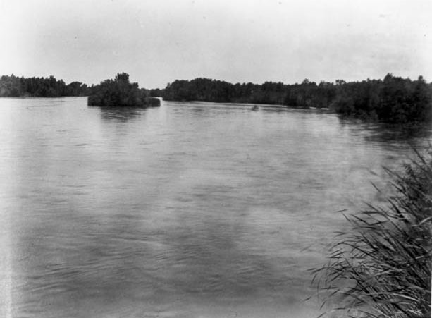
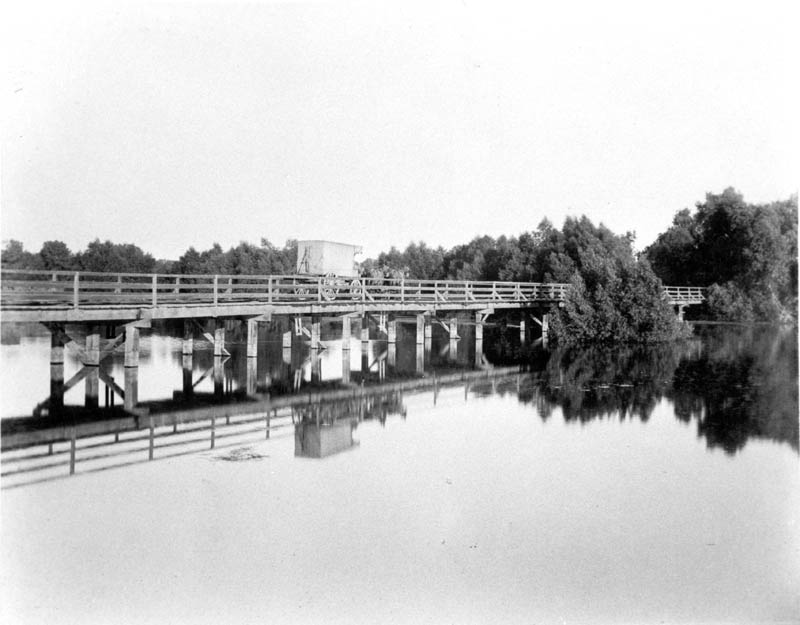
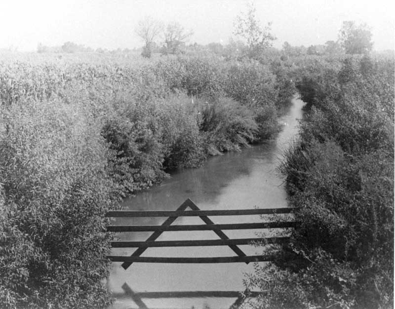
#57 Kern River above the canal, north channel taken from the county bridge looking westward downstream.
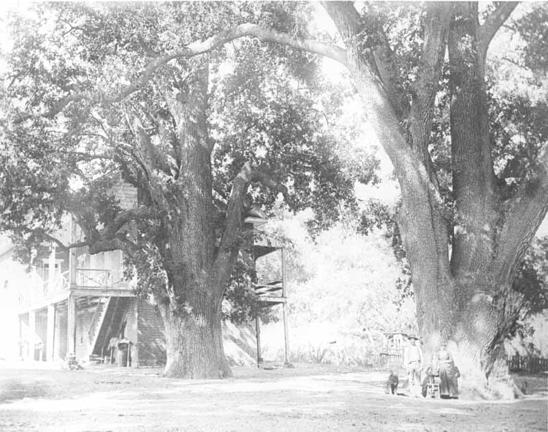
#58 Fort Tejon Oaks, 1880s
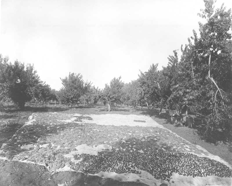
#59 Raisins and figs drying on burlap ground cloth at Rancho El Tejon, 1880s
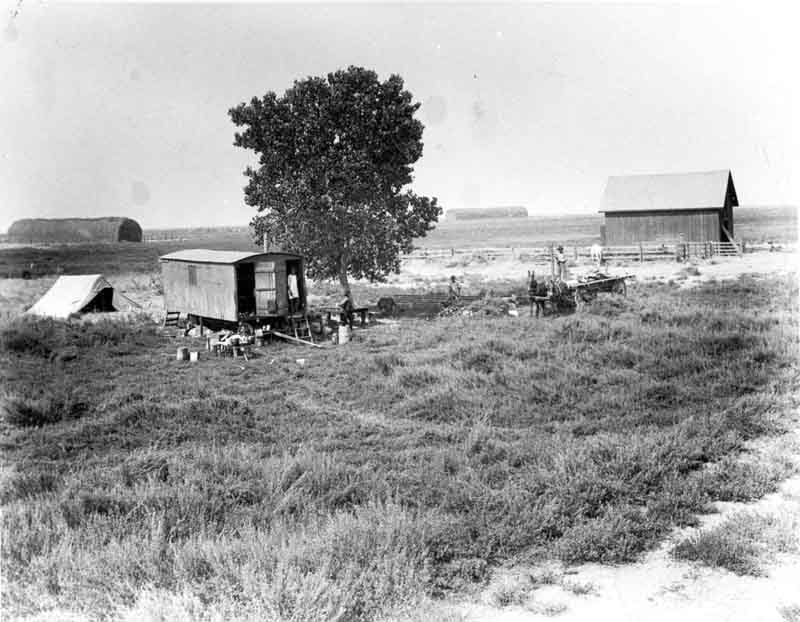
#60 Lakeside Ranch pasture, 1880s
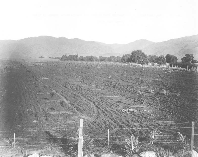
#61 New plantings, 1880s
#62 View in Canada de law uvas (Grapevine Canyon), 1880s
#63 The Pioneer canal, 1880s
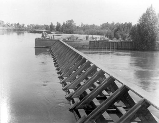
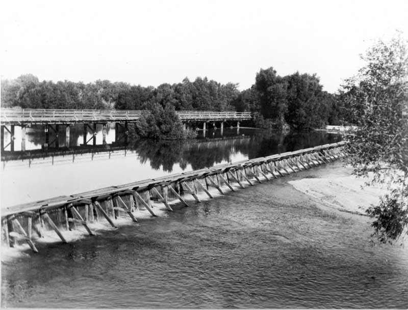
#64 Pioneer Canal weir, 1880s
#65 Kern Island canal, 1880s
#66 Lakeside ranch cowboys, 1880s
#67 Ruins of band stable, Fort Tejon, 1880s
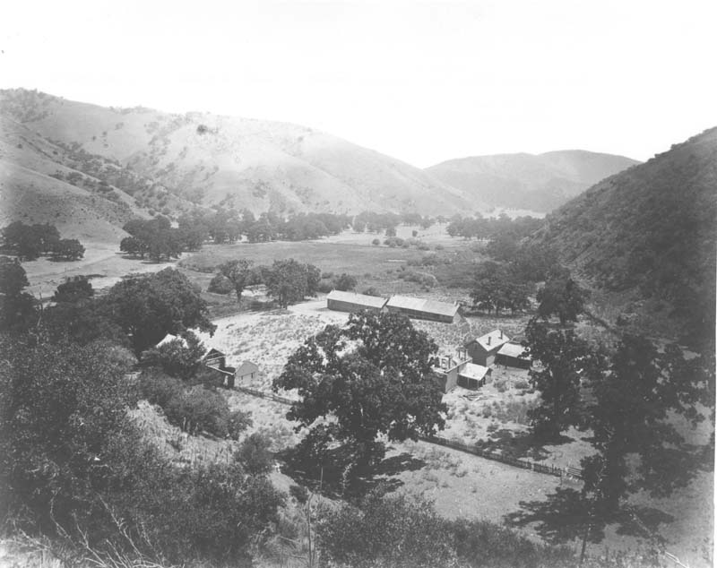
#68 Headquarters buildings Fort Tejon, 1880s
#69 Kern Island canal headgate, 1880s
#70 E.M. Roberts 1880s
#71 Lakeside Ranch, 1880s
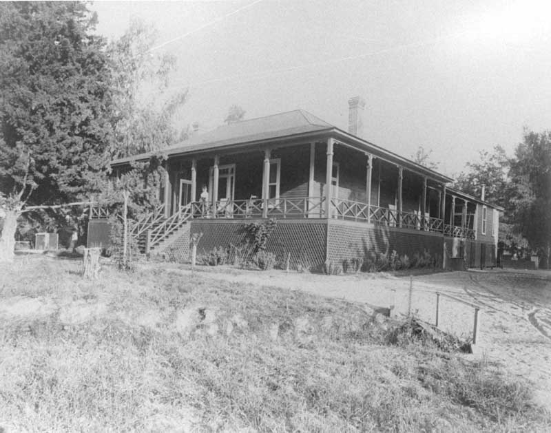
#72 Veranda looking East, 1880s
#73 Collins Ranch 1880s
#74 Lakeside Ranch, 1880s
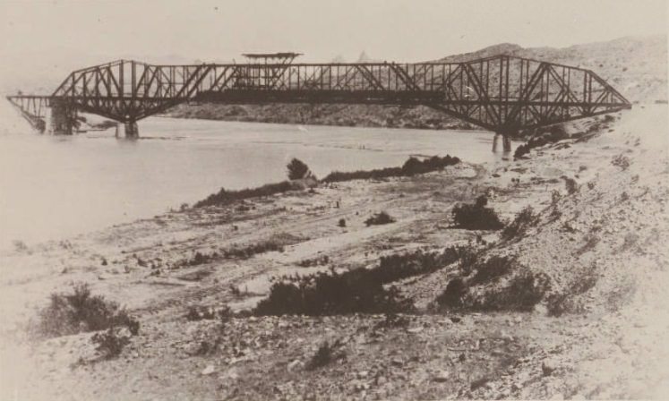
#75 Topock Bridge in the building. Frank Hutt engineer of the work train, 1889
#76 Kern County oilfield, 1889
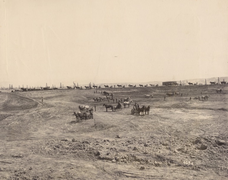
Teams of horse-drawn equipment line the rim and scattered across site. Oil derricks visible in distance, a house, and two completed storage tanks in right background. One tank has lettering on sides probably the San Joaquin Oil & Development Company. San Joaquin Oil & Development Company was one of five largest companies in Kern River Field, operating in late 1800's to early 1900's. In 1901 combined with four other companies to create Associated Oil Company.


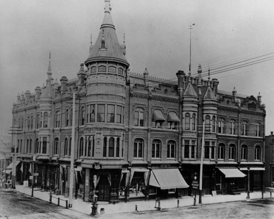
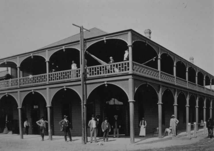

One photo shows the Southern Hotel, built in 1889, in 1891.
After the fire of 1889, ruins of the Southern Hotel are purportedly shown in several photos.
There is a giant picture hanging in my parents’ living room of people celebrating the arrival of the railroad in downtown.
Bakersfield used to be known as ‘Kern Island’. Baker’s field was a popular makeshift corral used by travelers, so the area began to be referenced by that name.
Not much has changed.