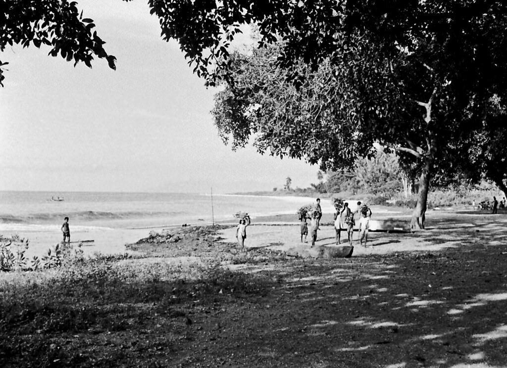
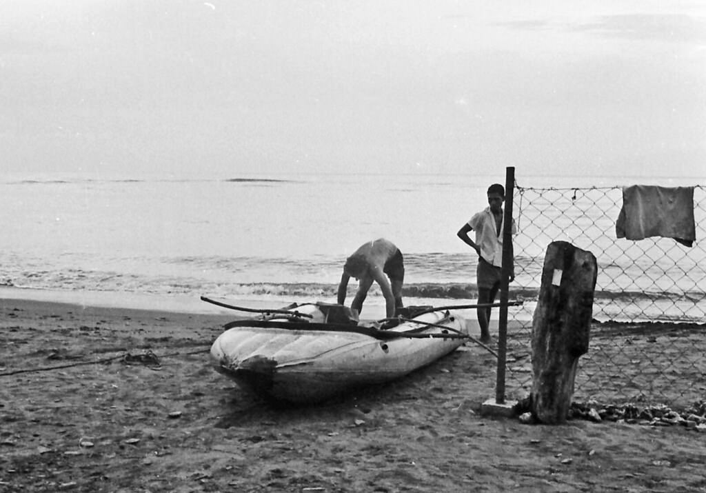
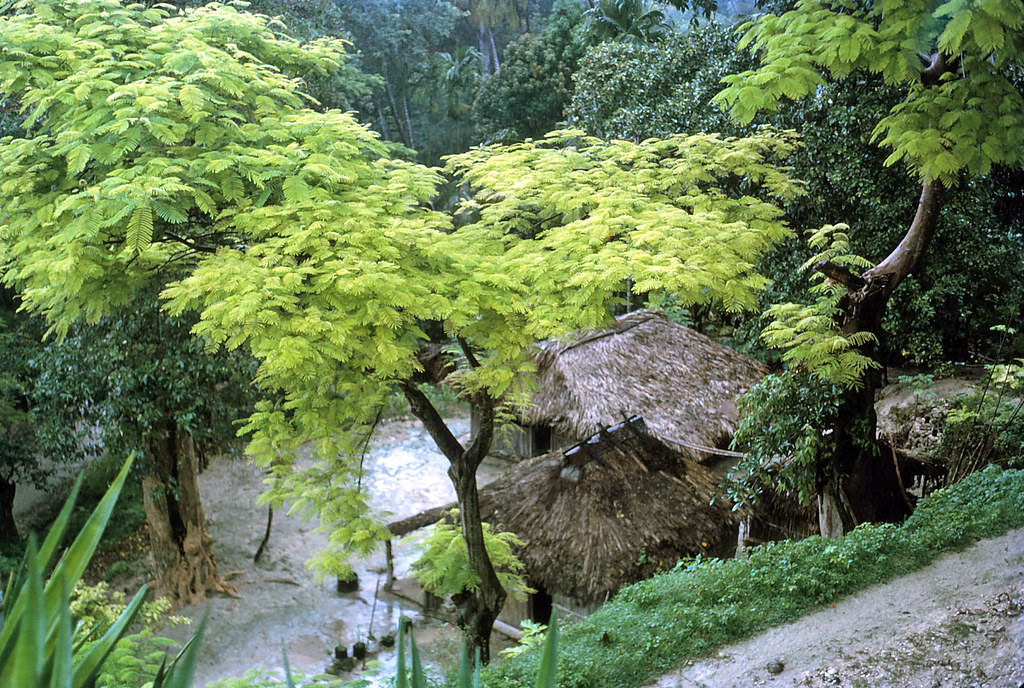
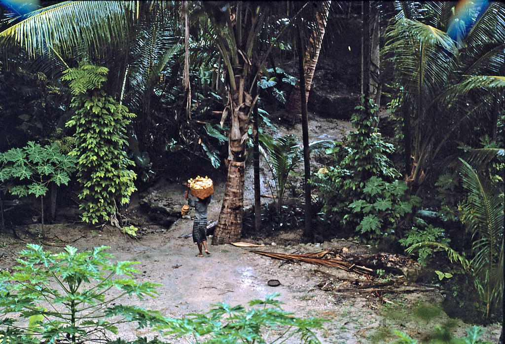
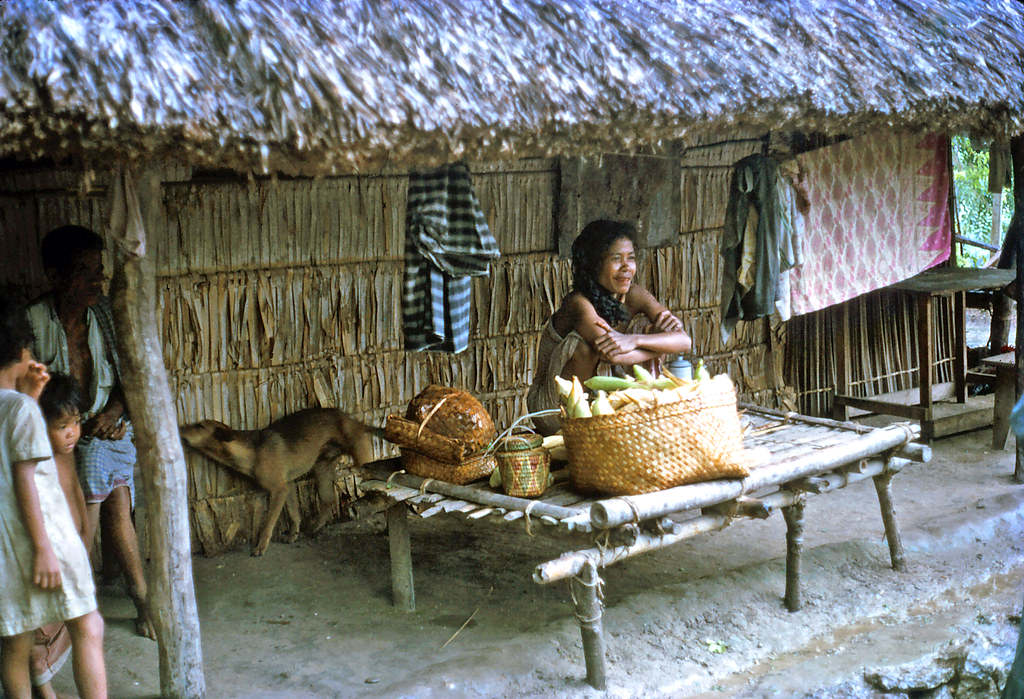
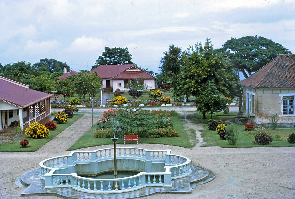
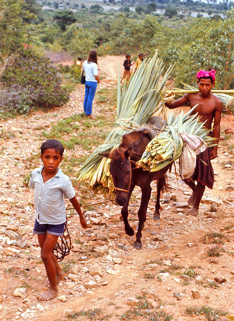
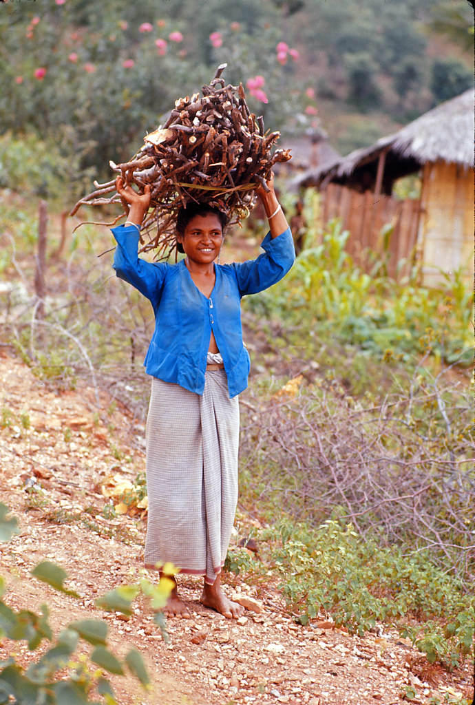
Timor is an island sitting at the southern edge of Maritime Southeast Asia, just north of the Timor Sea. The island is split between two distinct political zones: East Timor occupies the eastern half, while Indonesia controls the western half. In the 1970s, the island was still under Portuguese colonial administration in the east and Indonesian rule in the west — a division that would soon be tested by one of Southeast Asia’s bloodiest conflicts. These photographs, taken by Wilford Peloquin, capture everyday life across the island before that storm fully arrived.
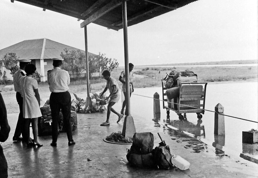
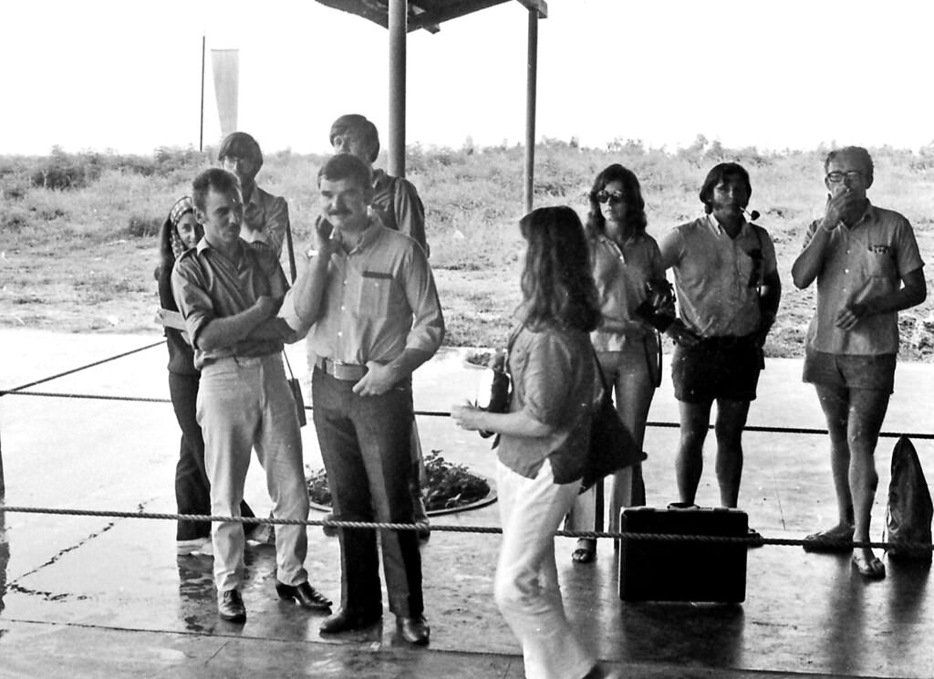
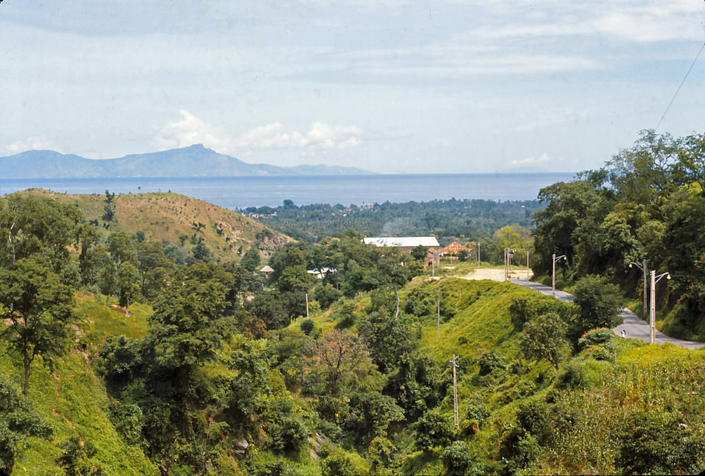
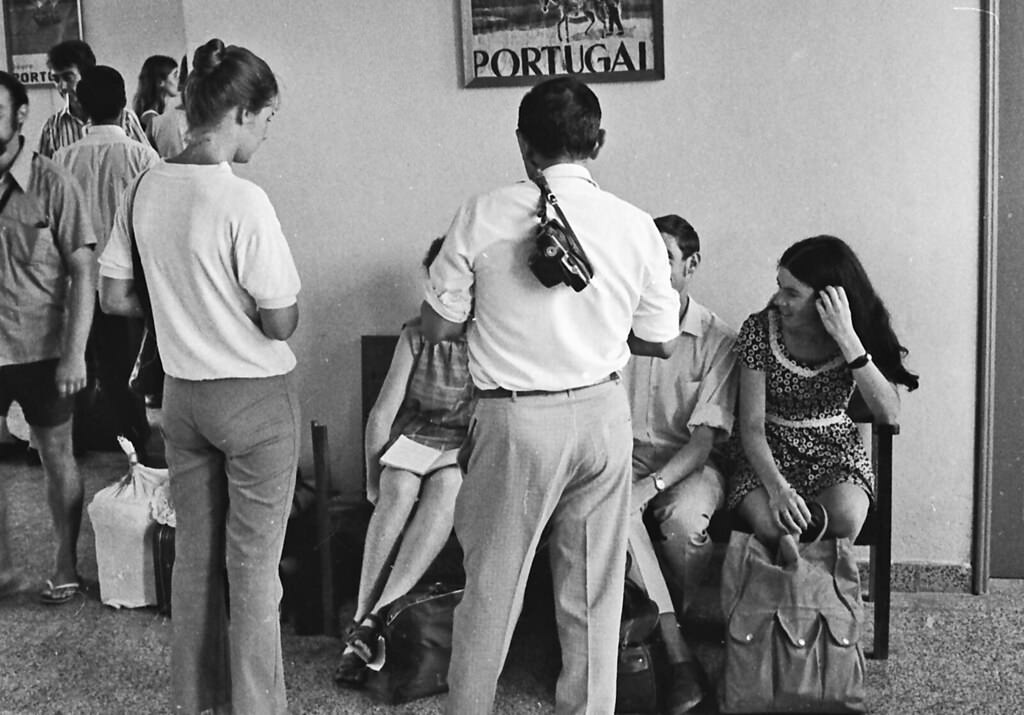
The landscape of Timor is shaped by coastal plains that gradually give way to mangrove swamps, regularly flooded by the tides. Inland, the terrain rises sharply, and that geography played a direct role in the island’s social history. Coastal communities are primarily of Indonesian Malay ancestry. Their ancestors pushed the original Melanesian peoples — who had lived on the island for thousands of years — into the rugged interior. That inland retreat shaped everything from language to spiritual practice. Numerous Papuan and Malayan languages are spoken across the island, alongside Indonesian in the west and Portuguese in the east. Bacau, also spelled Baucau, was East Timor’s second-largest city and a key hub in the eastern region. The airport there served as a main entry point.
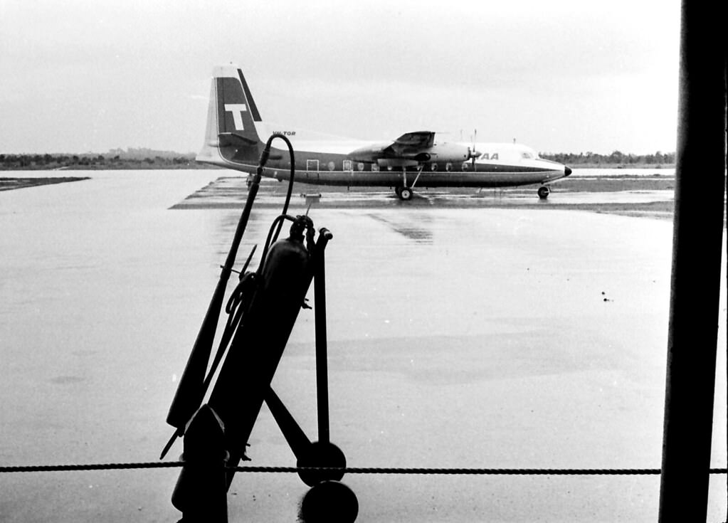
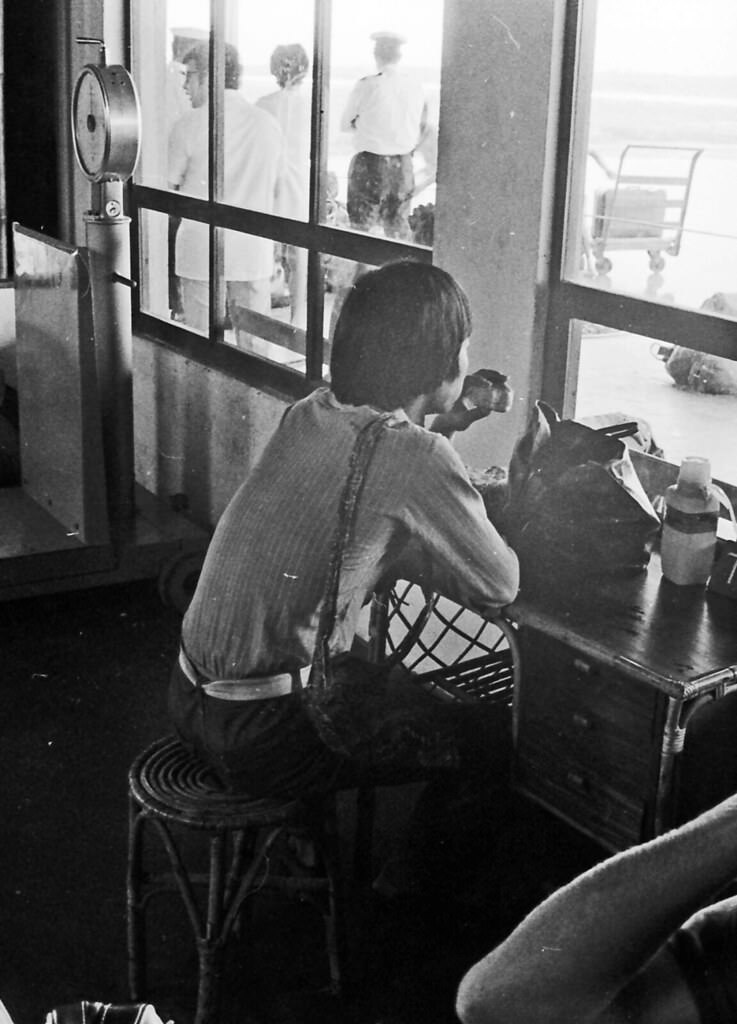
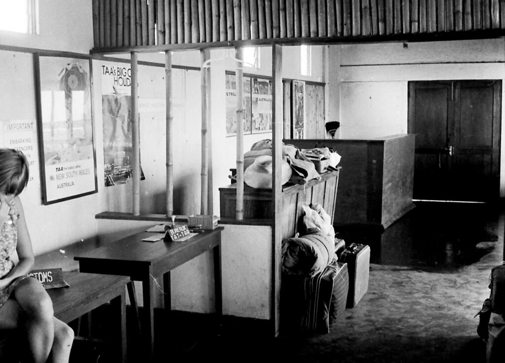
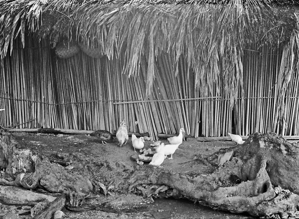
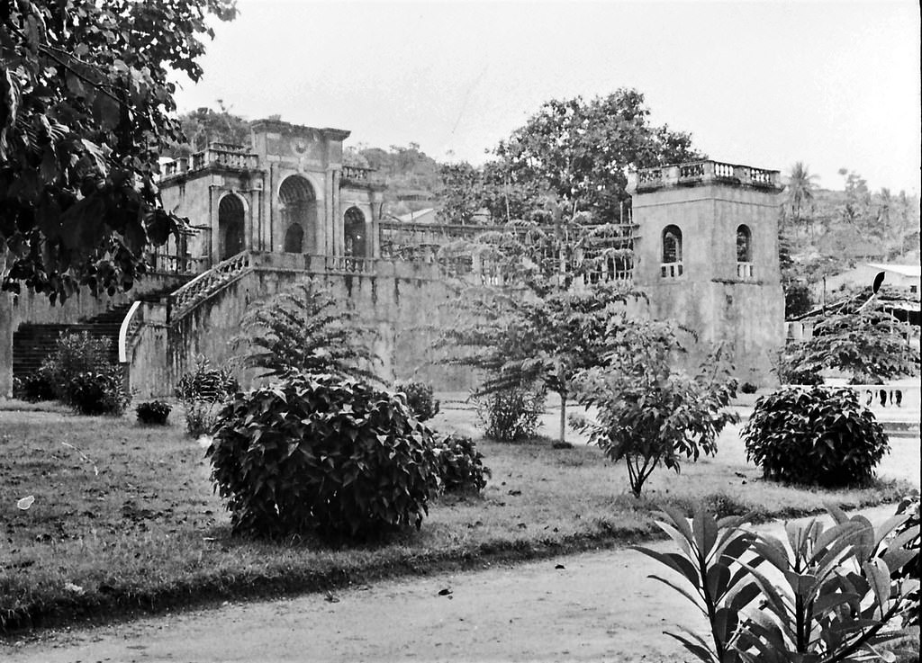
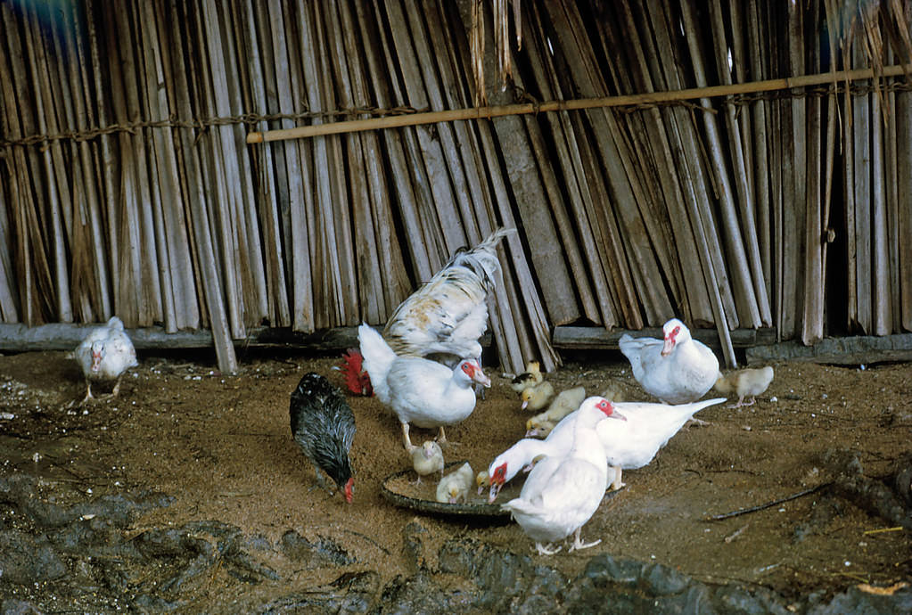
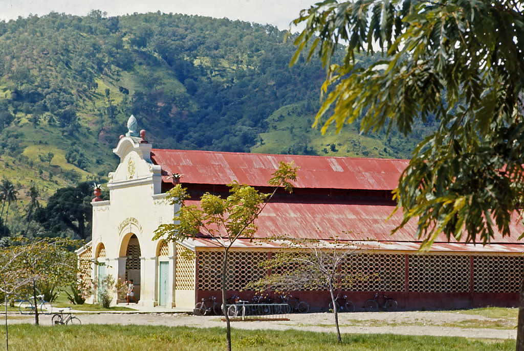
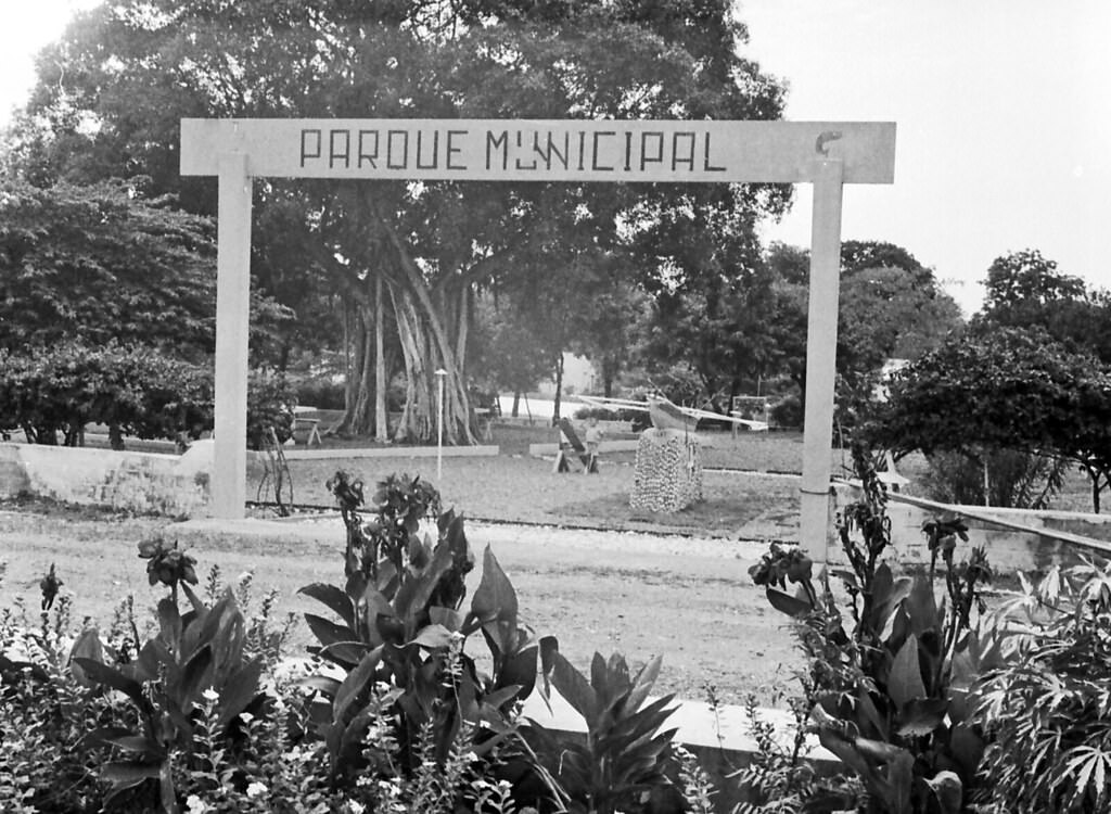
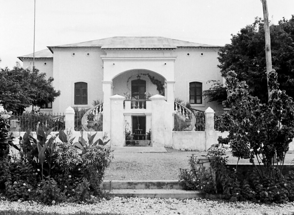
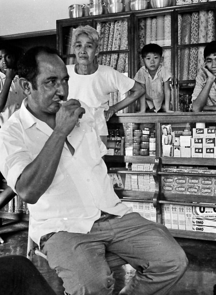
Beyond the airport, Bacau was a town with a distinct character — a mix of Portuguese colonial architecture, local markets, and a pace of life shaped by the sea and the surrounding hills. Streets were active with traders, children, and animals. Chickens and ducks were a common sight, kept by families for both food and trade. The town’s layout reflected decades of Portuguese influence, with wide streets and whitewashed buildings sitting alongside traditional Timorese structures.
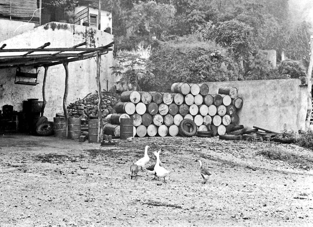
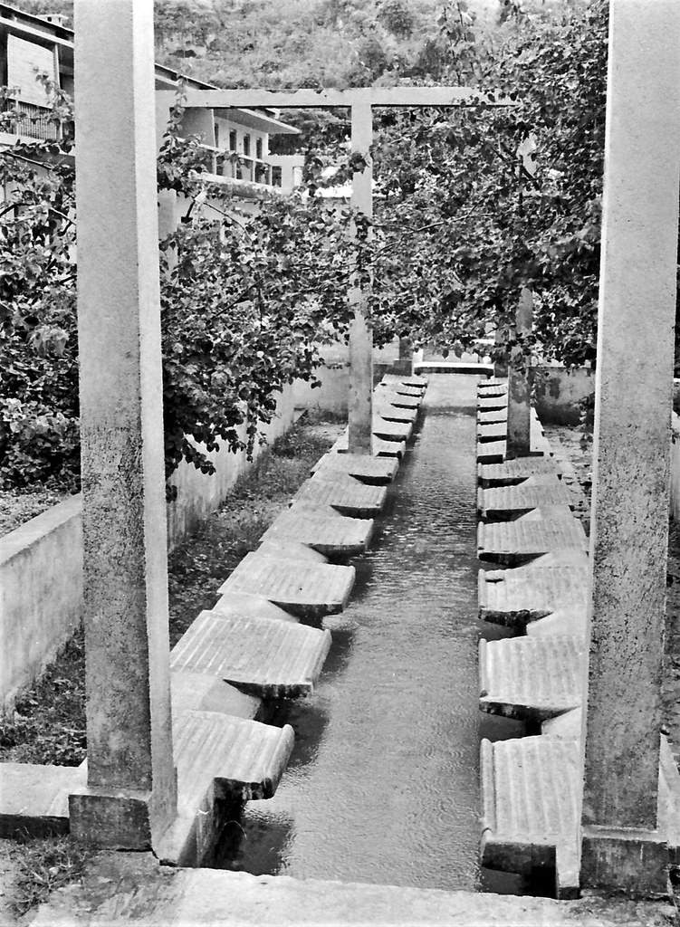
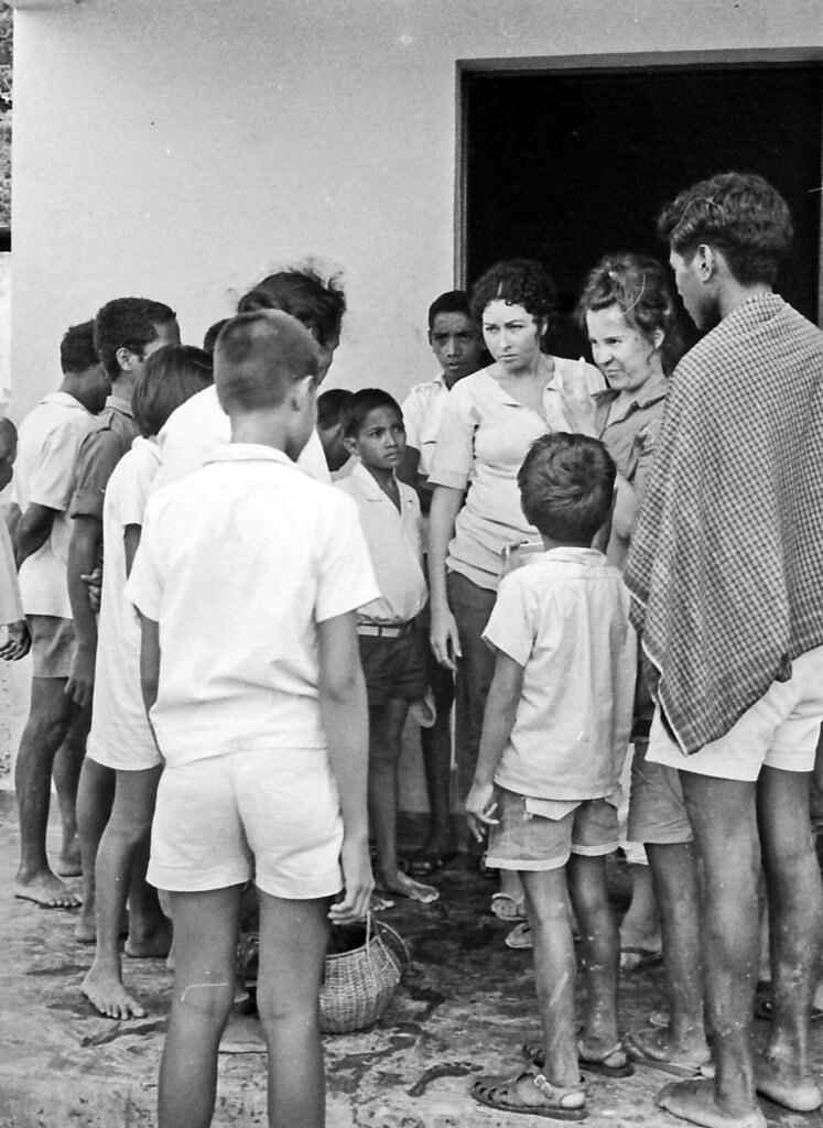
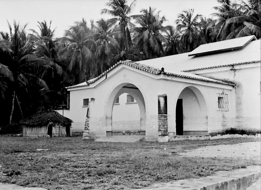
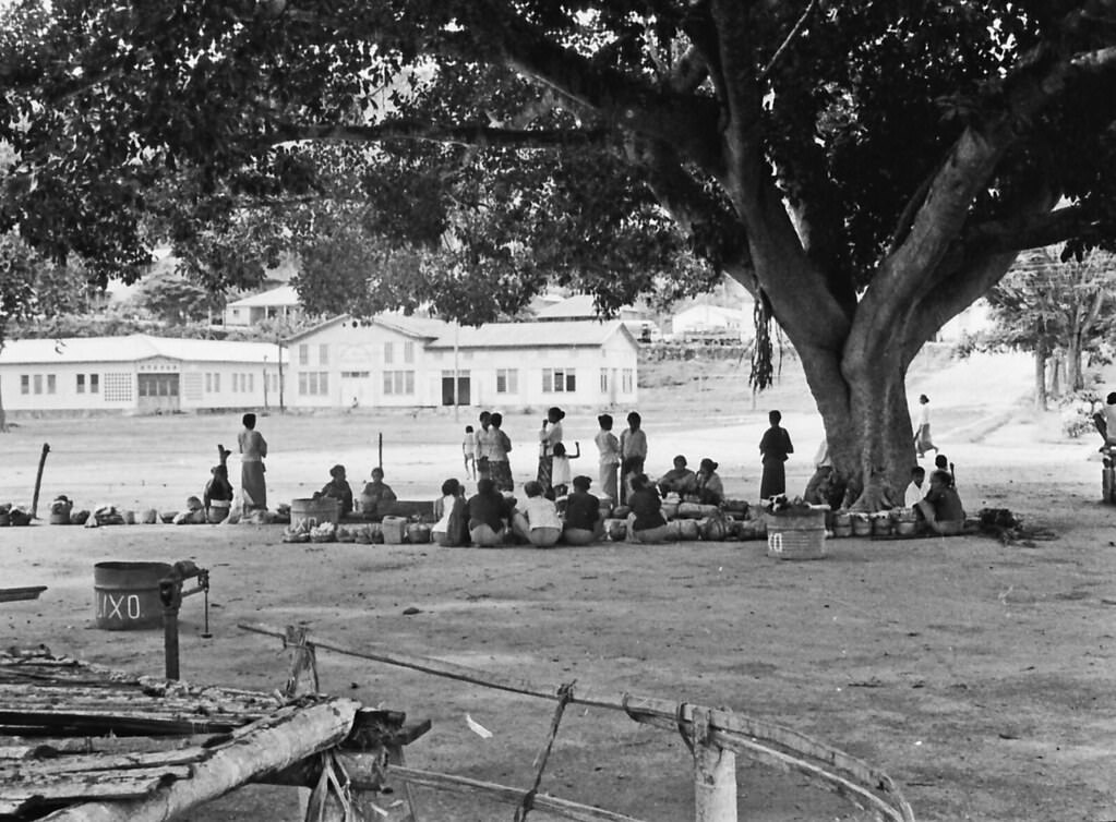
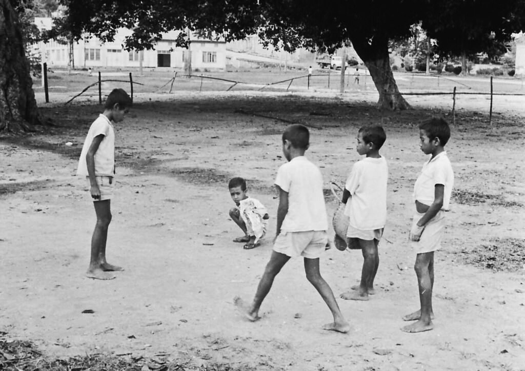
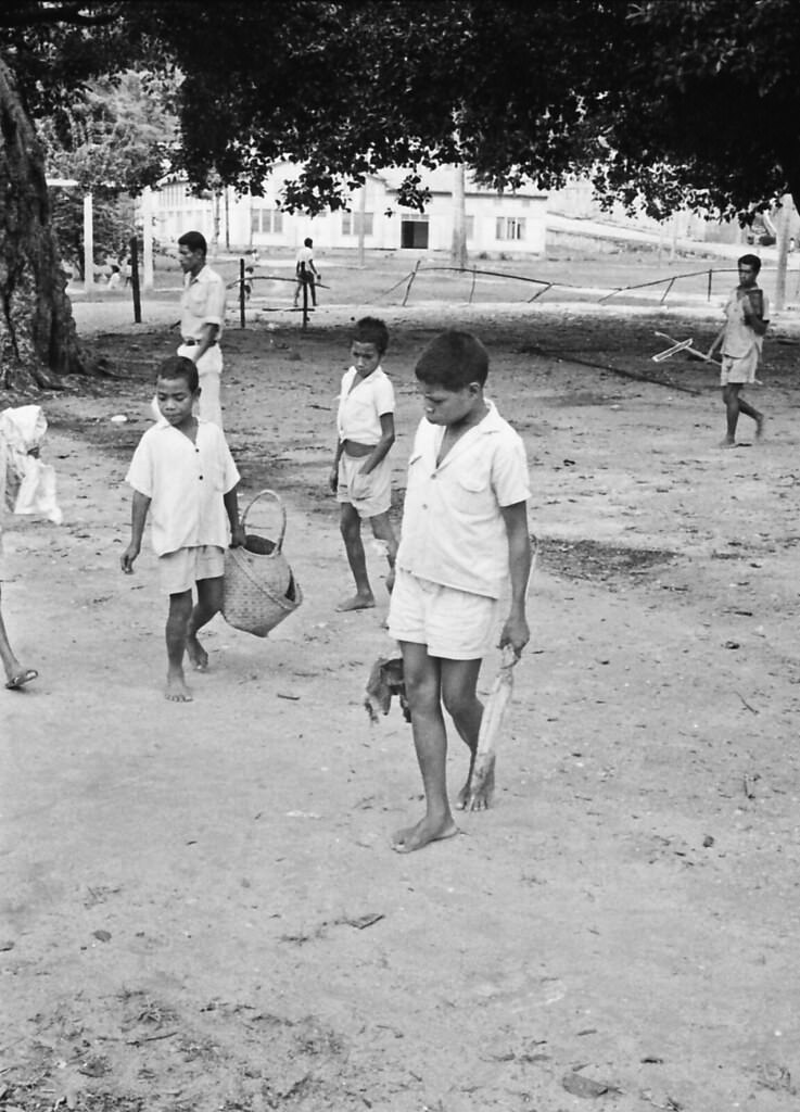
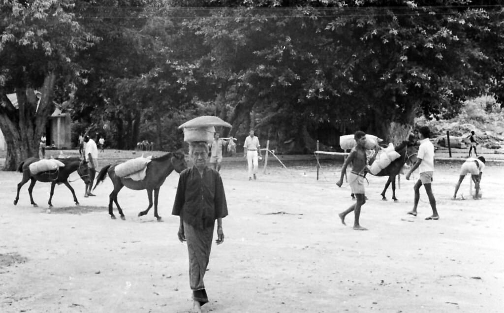
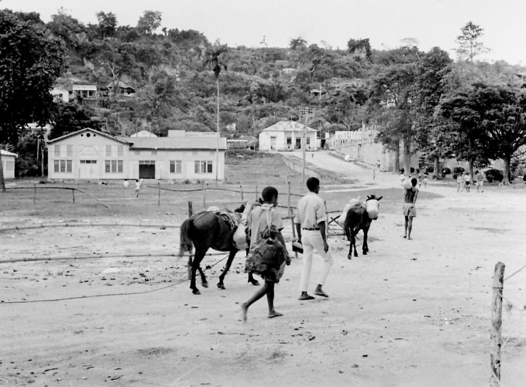
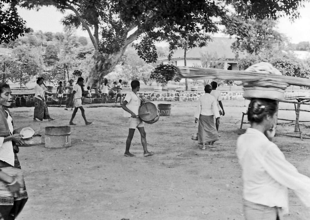
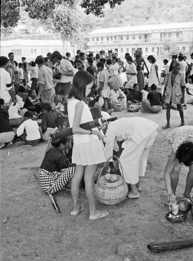
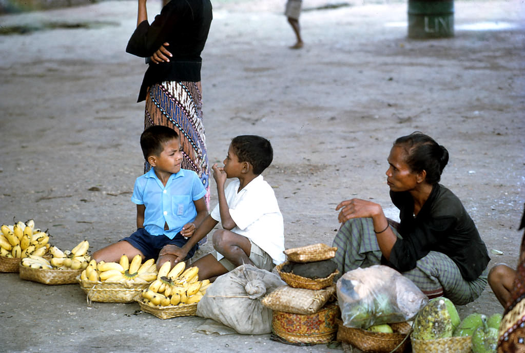
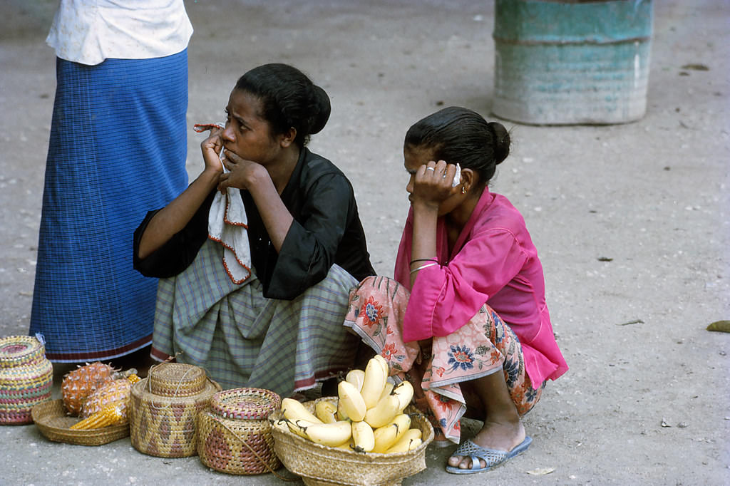
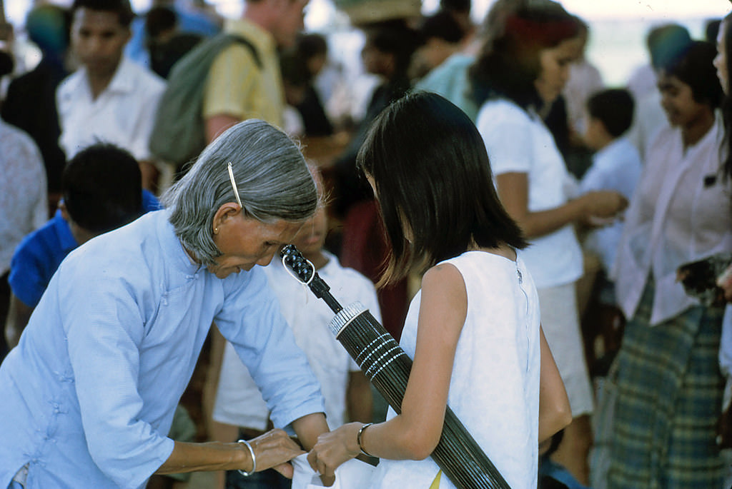
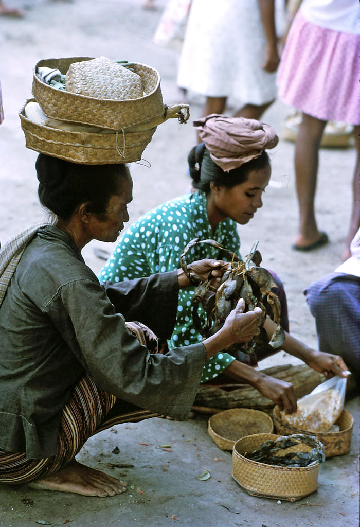
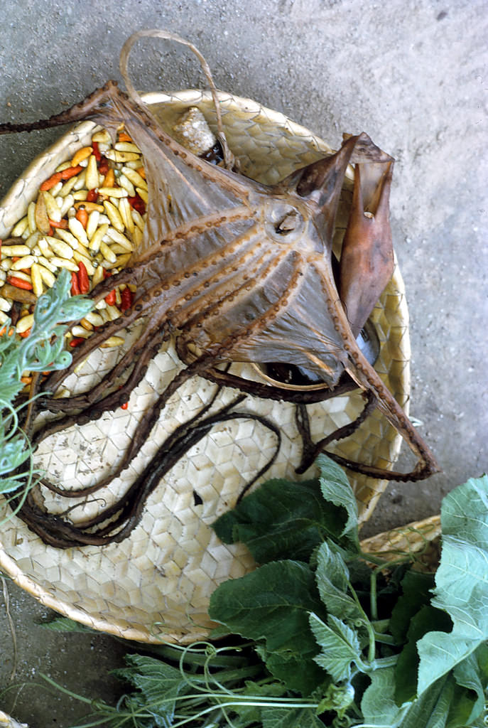
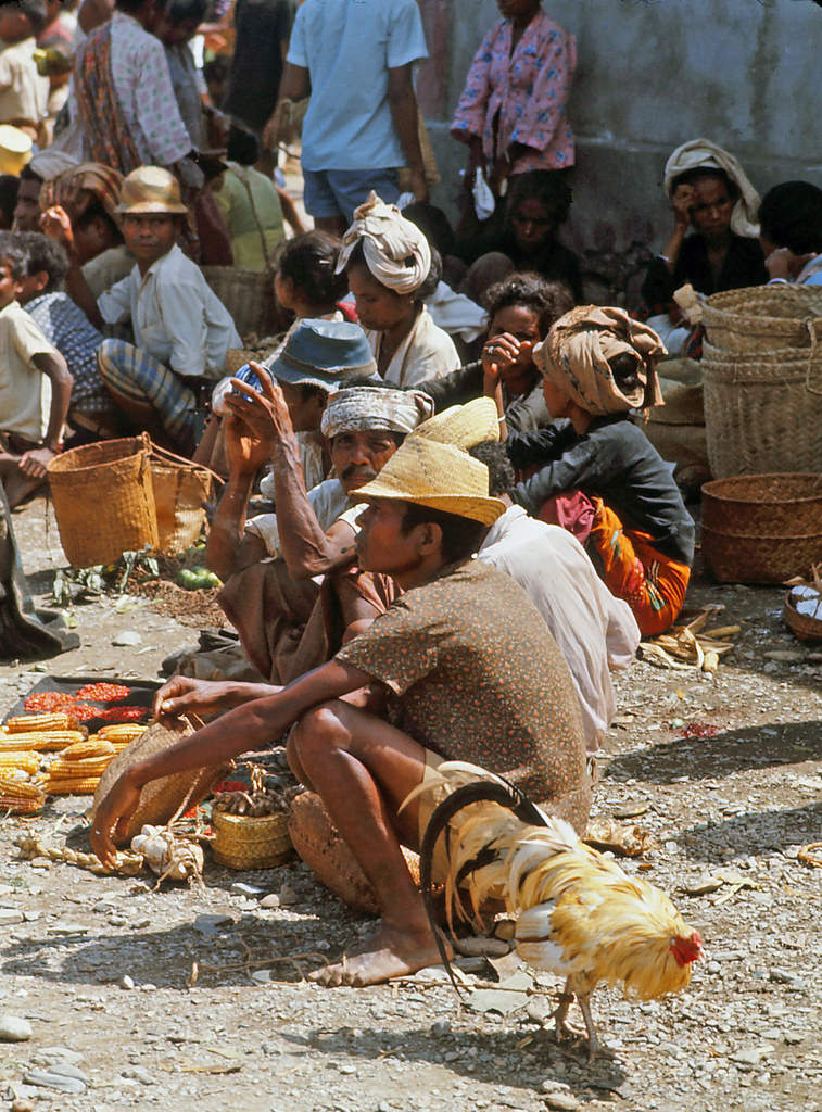
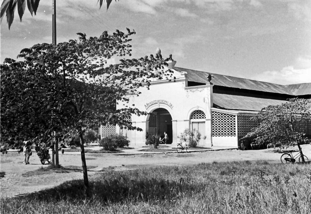
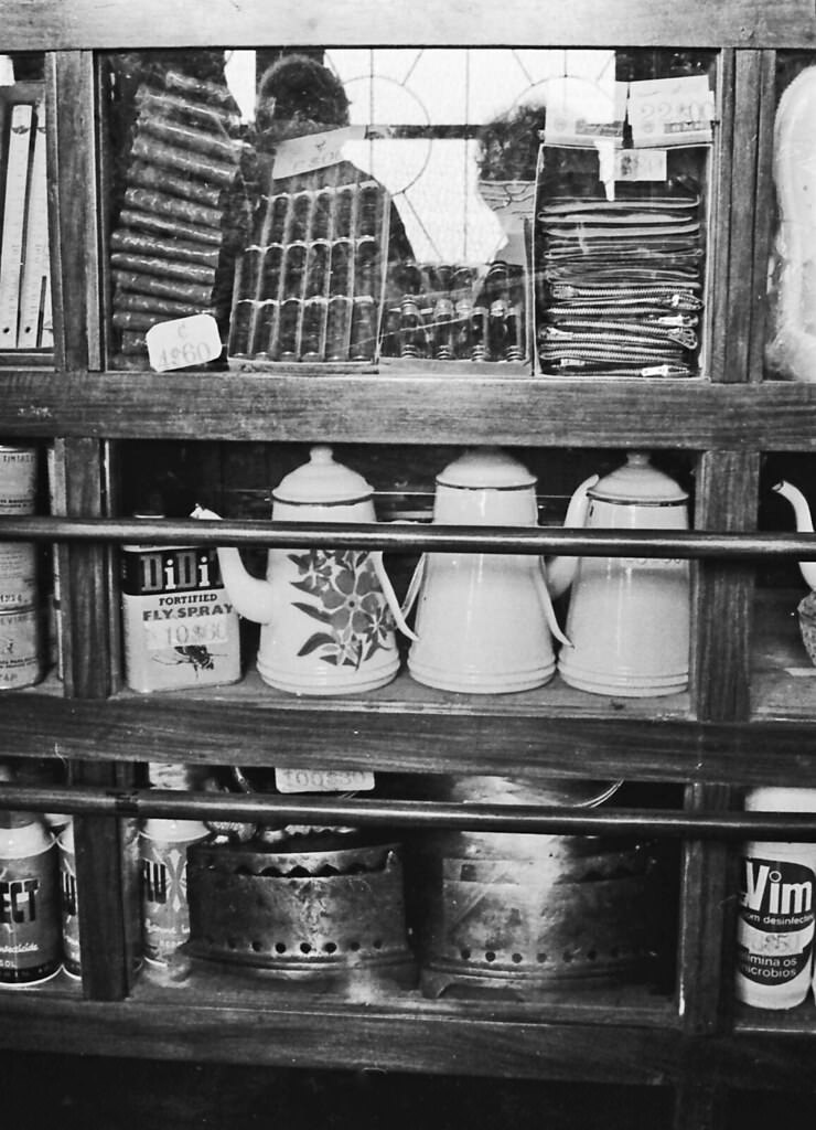
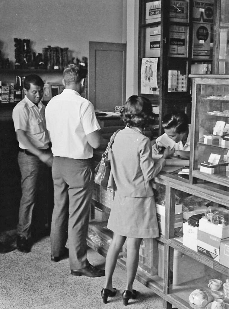
The market was the beating heart of Bacau. Vendors arrived early, setting up stalls and waiting for the day’s trade to begin. Chinese merchants were a visible part of the market scene, as they had been for generations across maritime Southeast Asia. They served as traders, shopkeepers, and middlemen in the local economy. The market was where produce, livestock, cloth, and goods from across the island changed hands. Catching a bus from Bacau to Dili, the capital, meant navigating these busy streets first.
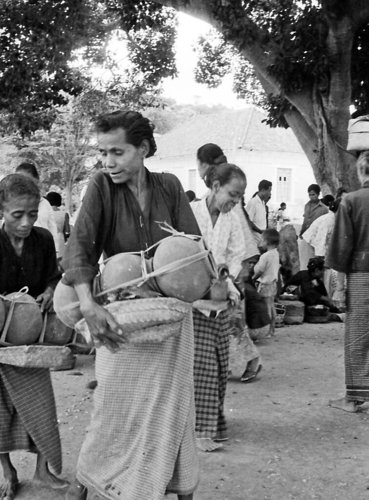
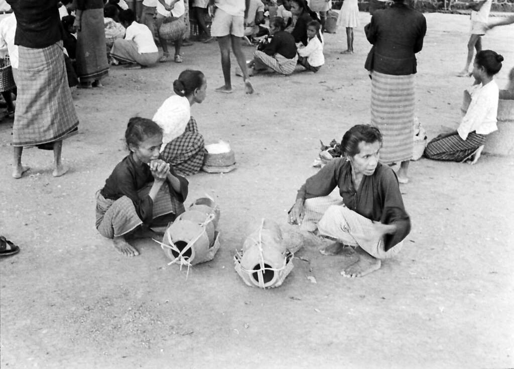
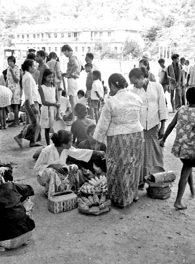
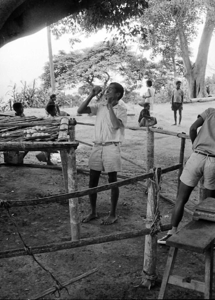
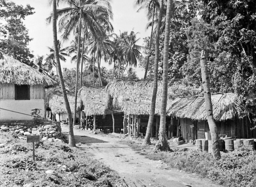
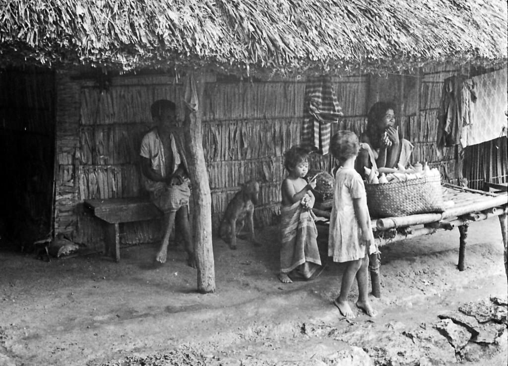
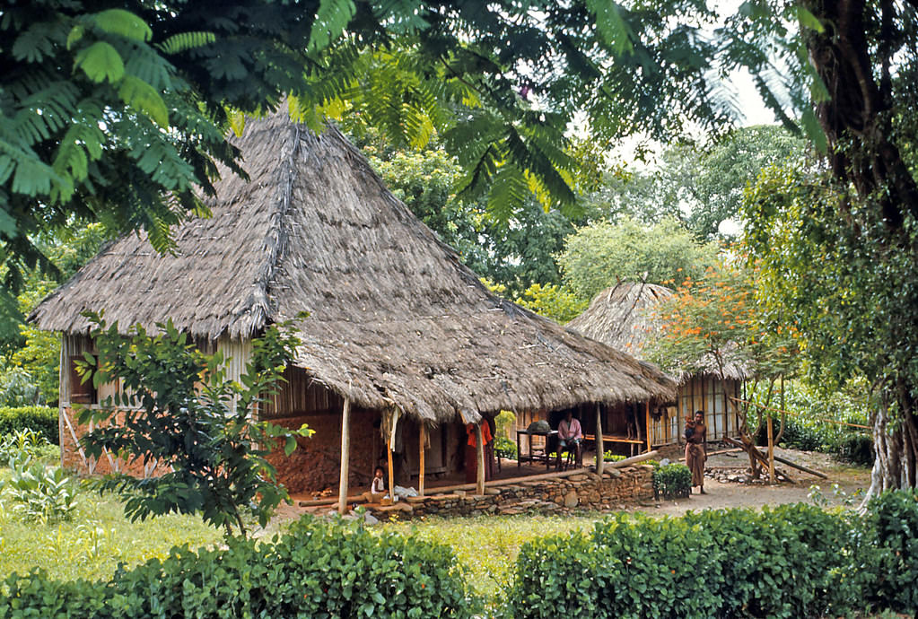
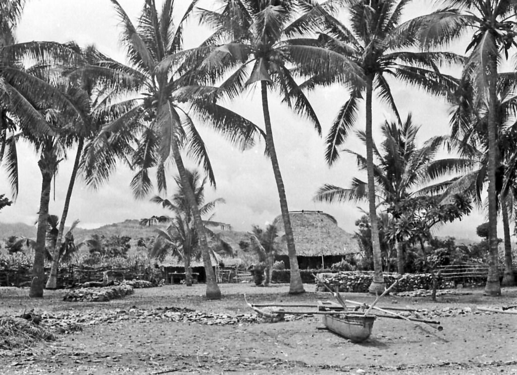
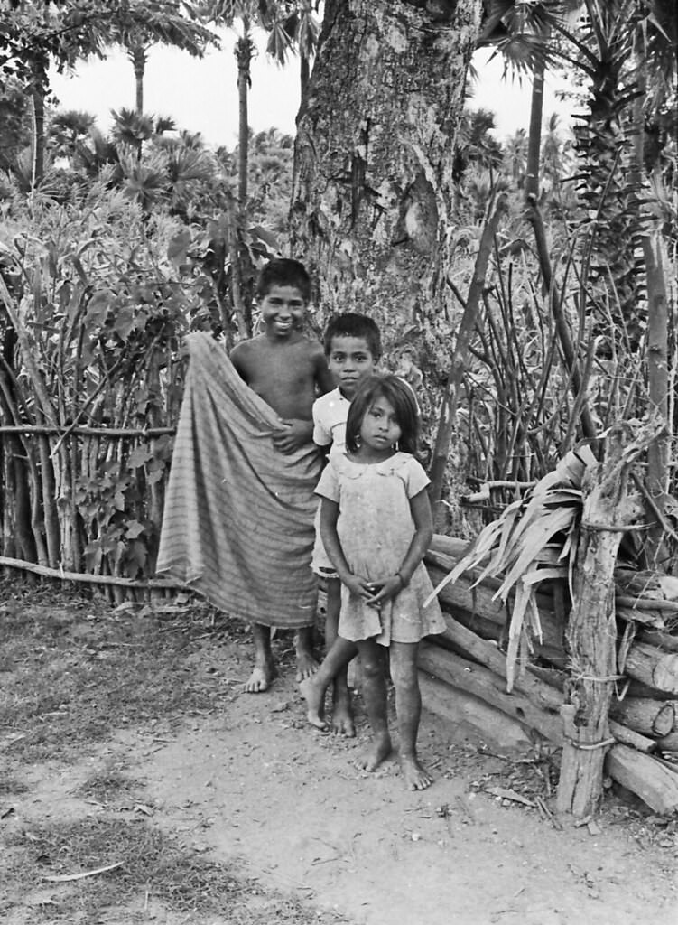
Village life across Timor in this era was governed by traditions that reached back centuries. Animism and ancestor worship were the dominant spiritual practices, more widespread than either Islam or Christianity despite both religions having established a foothold. Every village had a sacred house — a structure maintained by a custodian priest. Around it sat a taboo zone, an area with rules and restrictions that the community observed. Houses throughout the island were typically built on piles, raising them off the ground for both practical and cultural reasons. Historically, villages and isolated settlements were enclosed by fences, a legacy of the coastal warfare that had defined life on the island for generations.
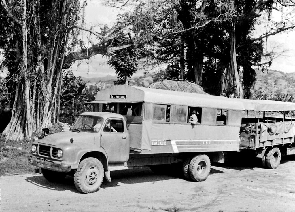
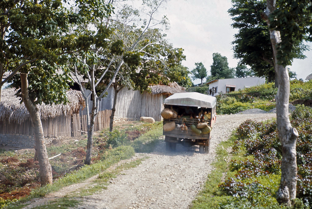
Buses were the main way to travel between towns. The road from Bacau to Dili was long, winding through coastal terrain and hill country. The vehicles themselves were often older models, packed with passengers, goods, and sometimes livestock. Getting from one end of the territory to the other was a full-day commitment. Dili, as the capital of Portuguese Timor, had more infrastructure — government buildings, a harbour, an airport, and a waterfront lined with activity.
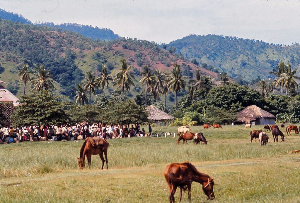
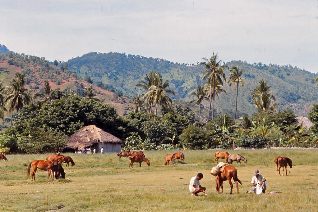
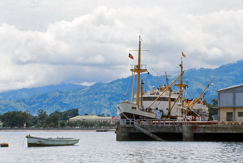
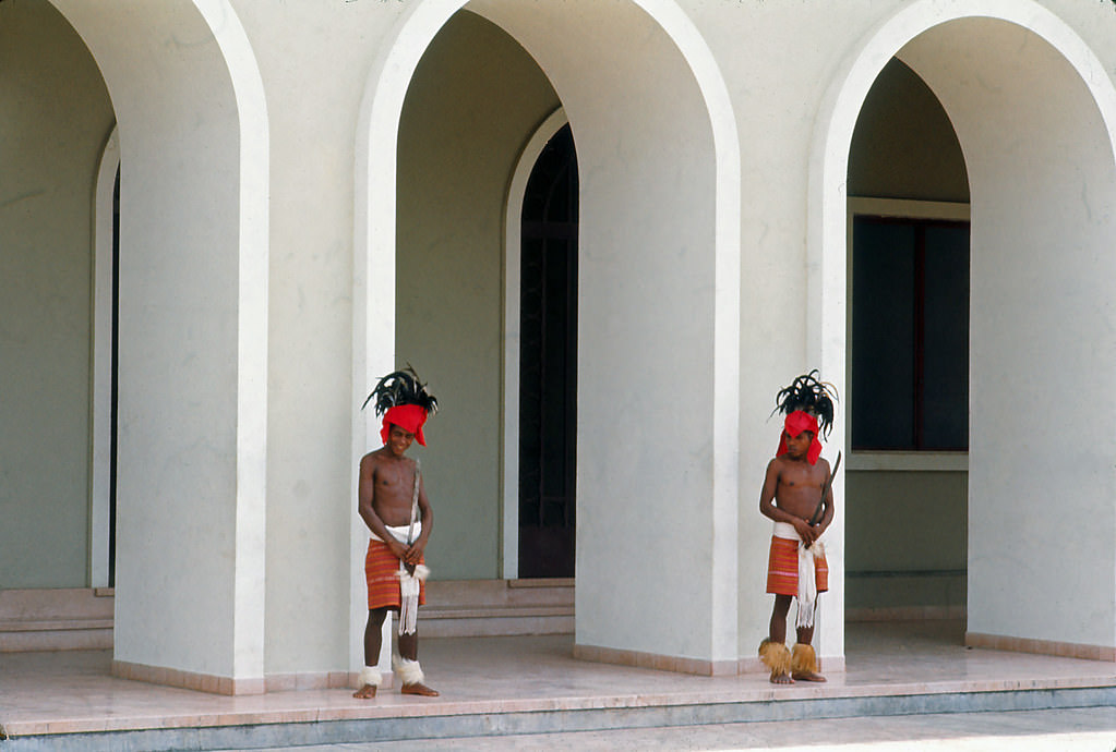
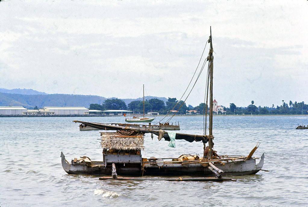
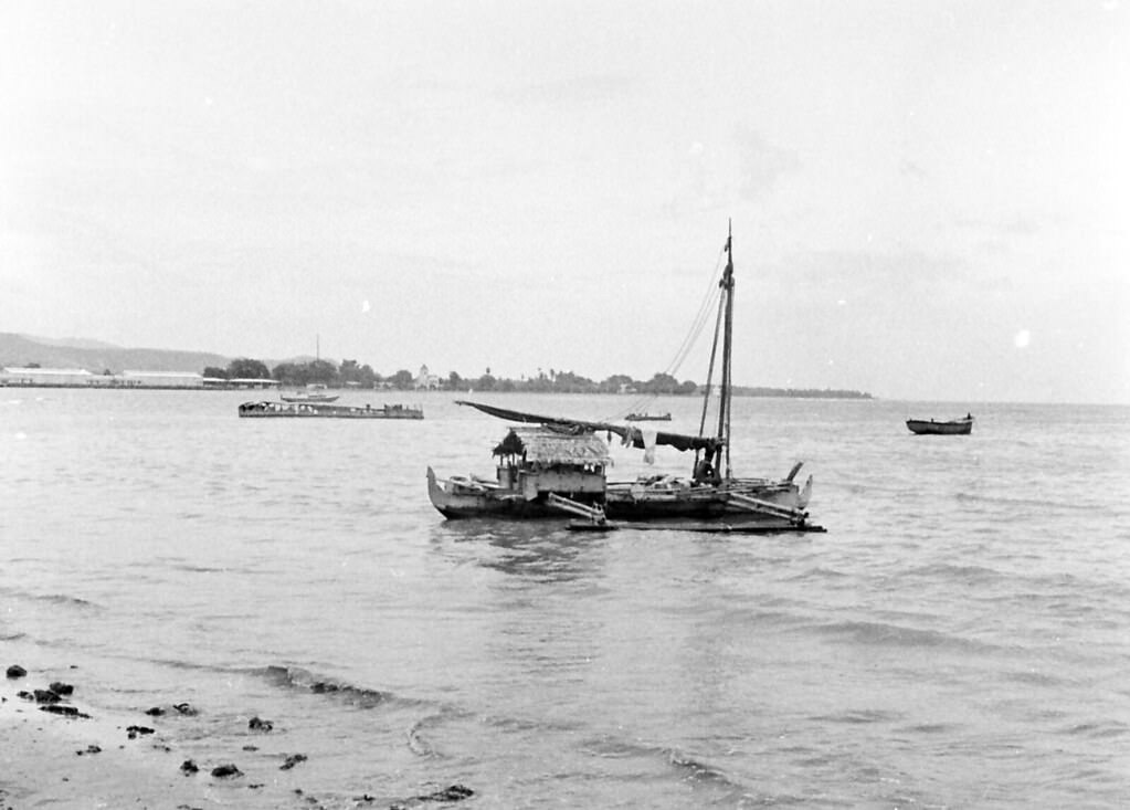
Dili’s Sunday market was a major weekly event. Horses were part of the scene at the market’s horse park, used for both transport and trade. The harbour brought in inter-island vessels, connecting Dili to the wider archipelago. Fishermen worked the waters daily, hauling their catch to shore. The waterfront was busy and functional — not a tourist destination, but a working edge of a working city. Guards stood post at the government house, a reminder that Dili was still an administered colonial capital.
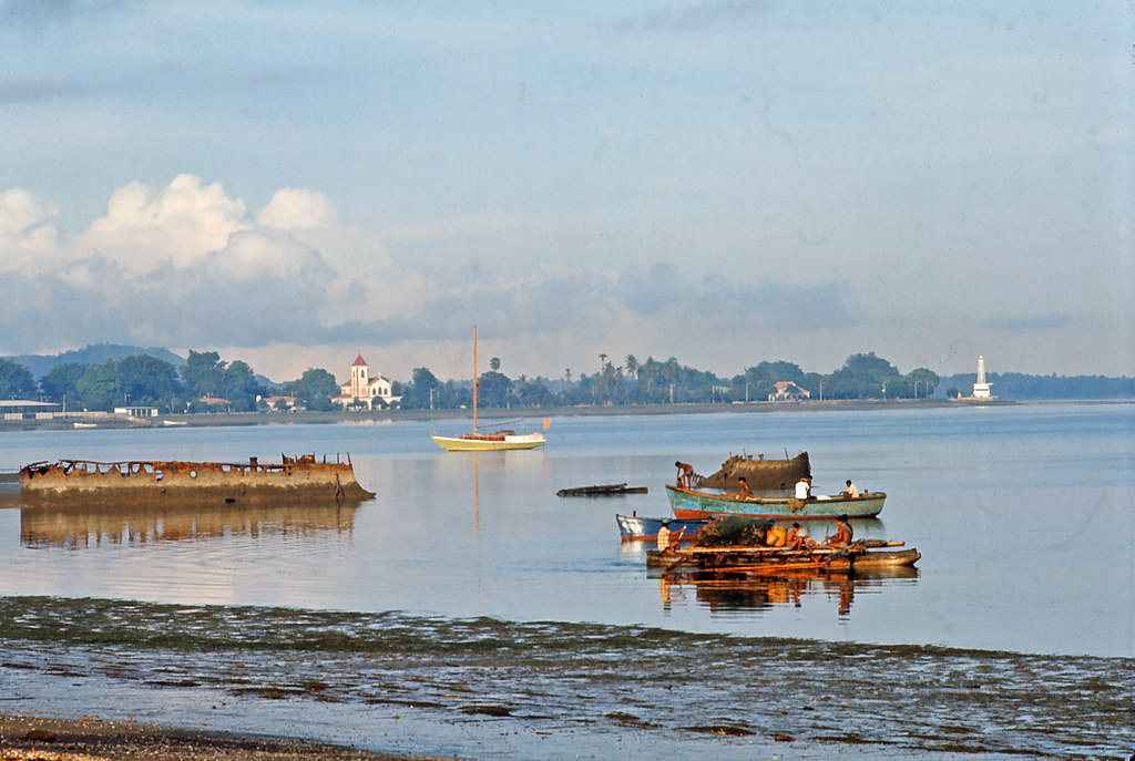
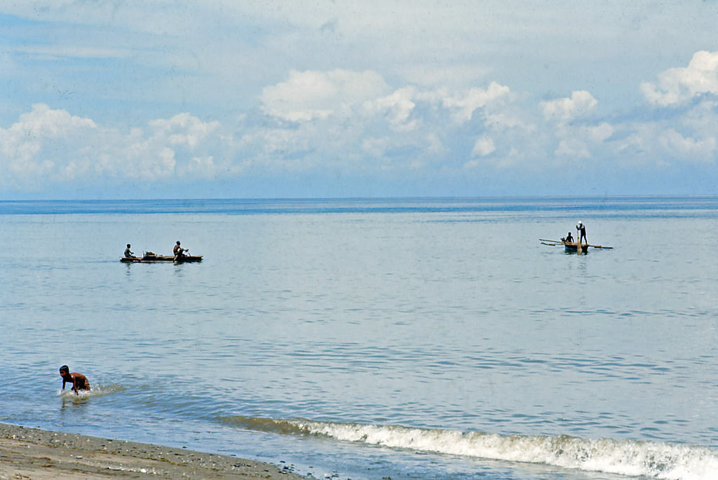
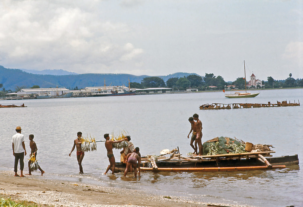
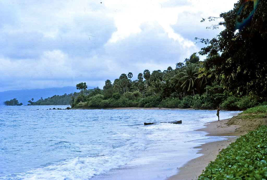
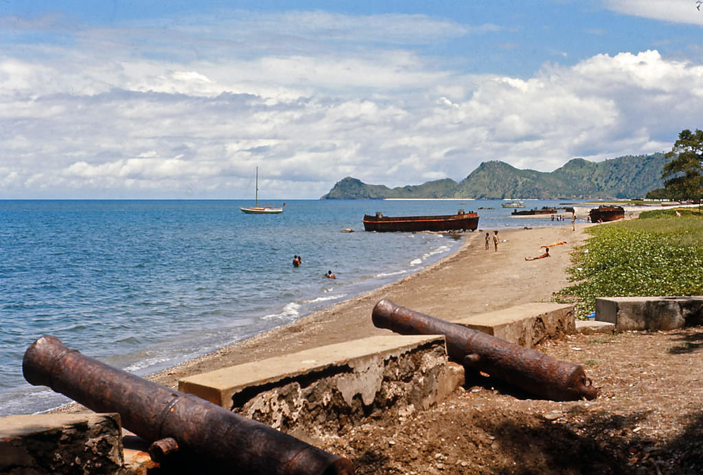
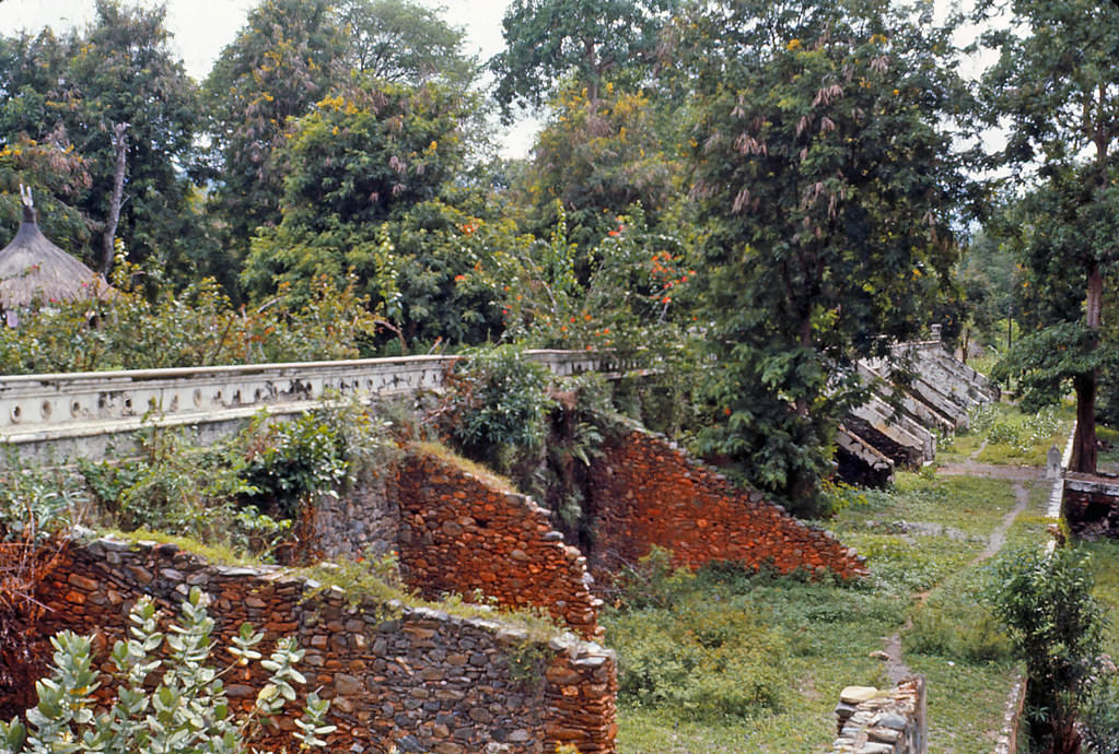
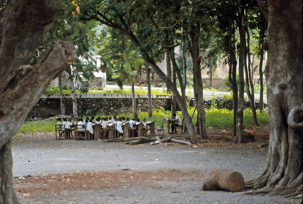
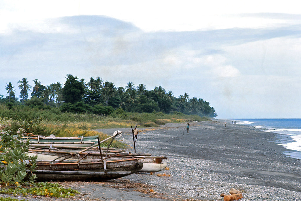
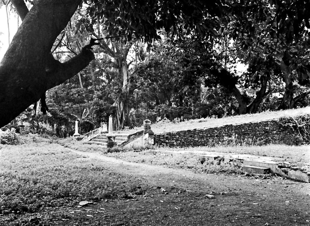
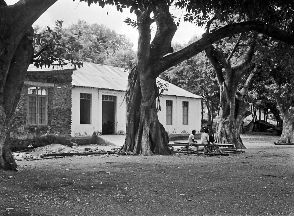
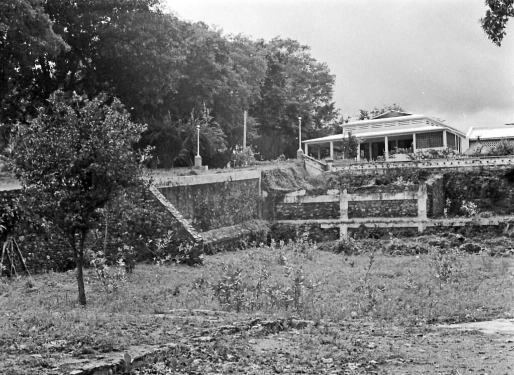
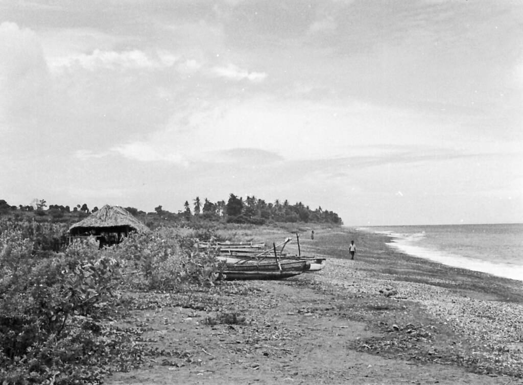
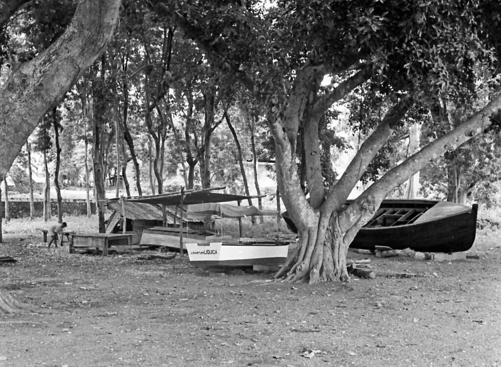
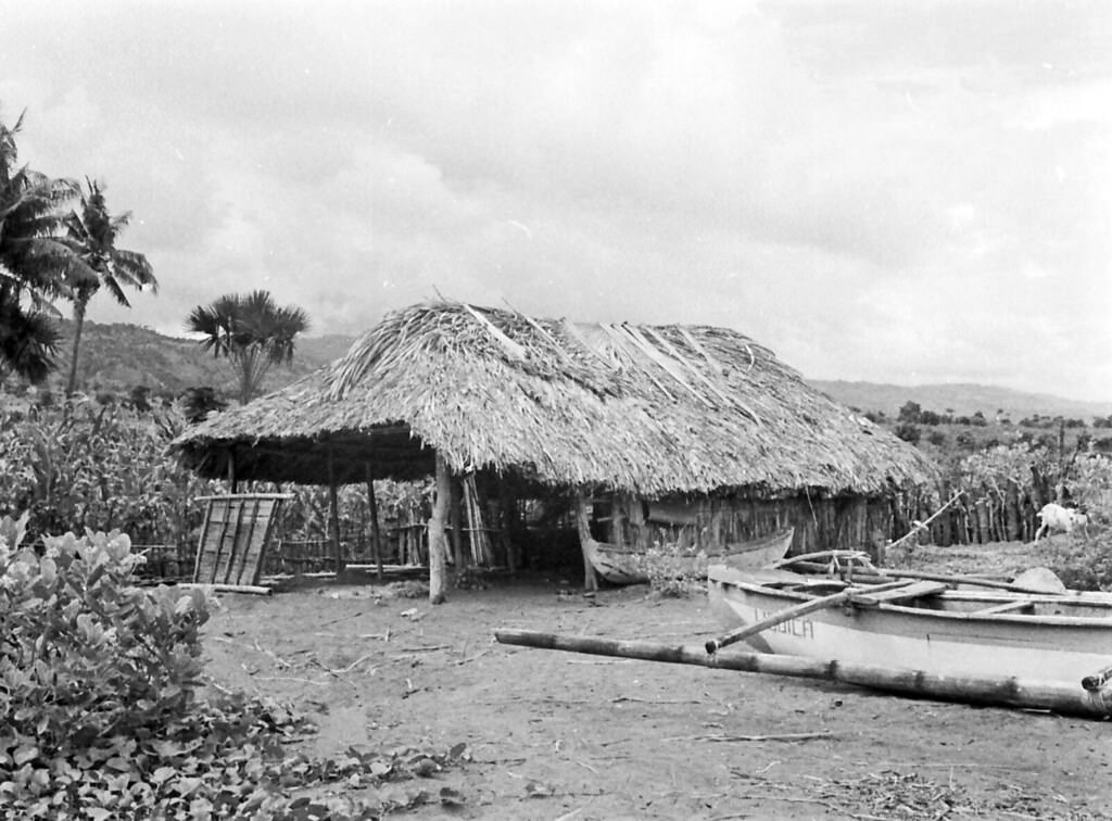
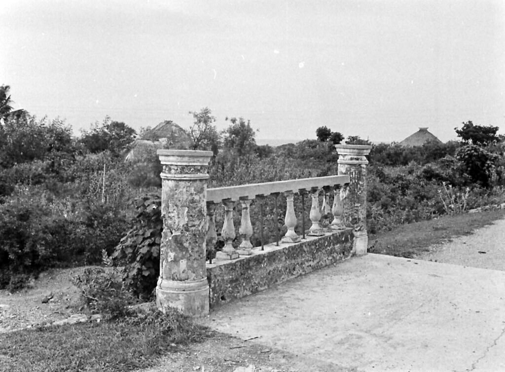
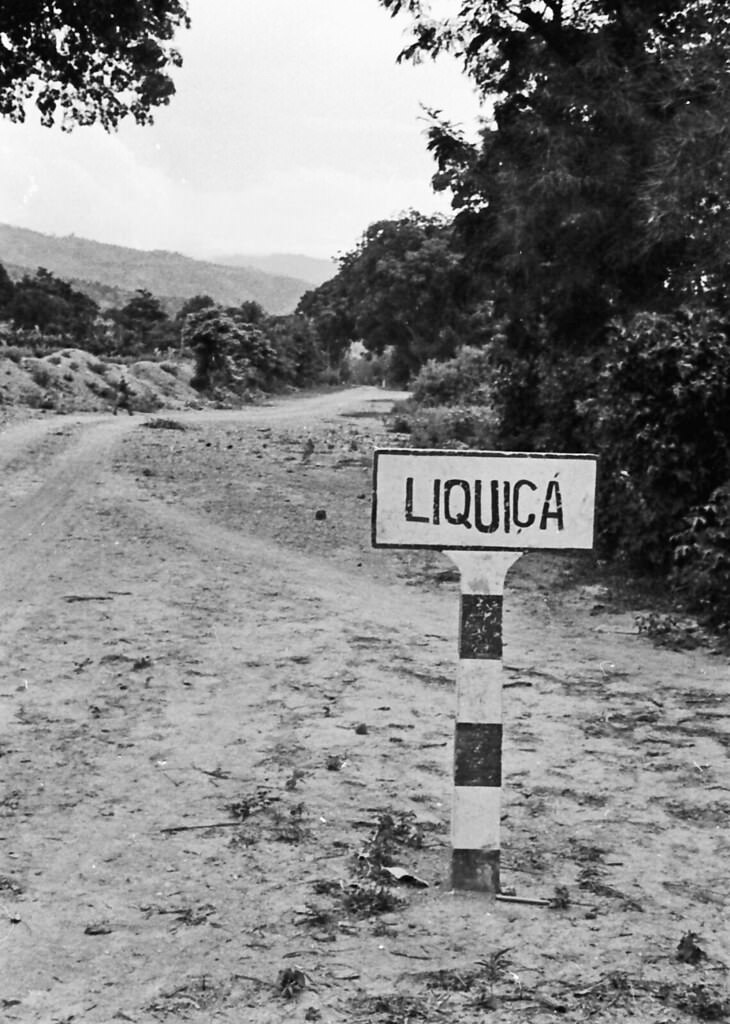
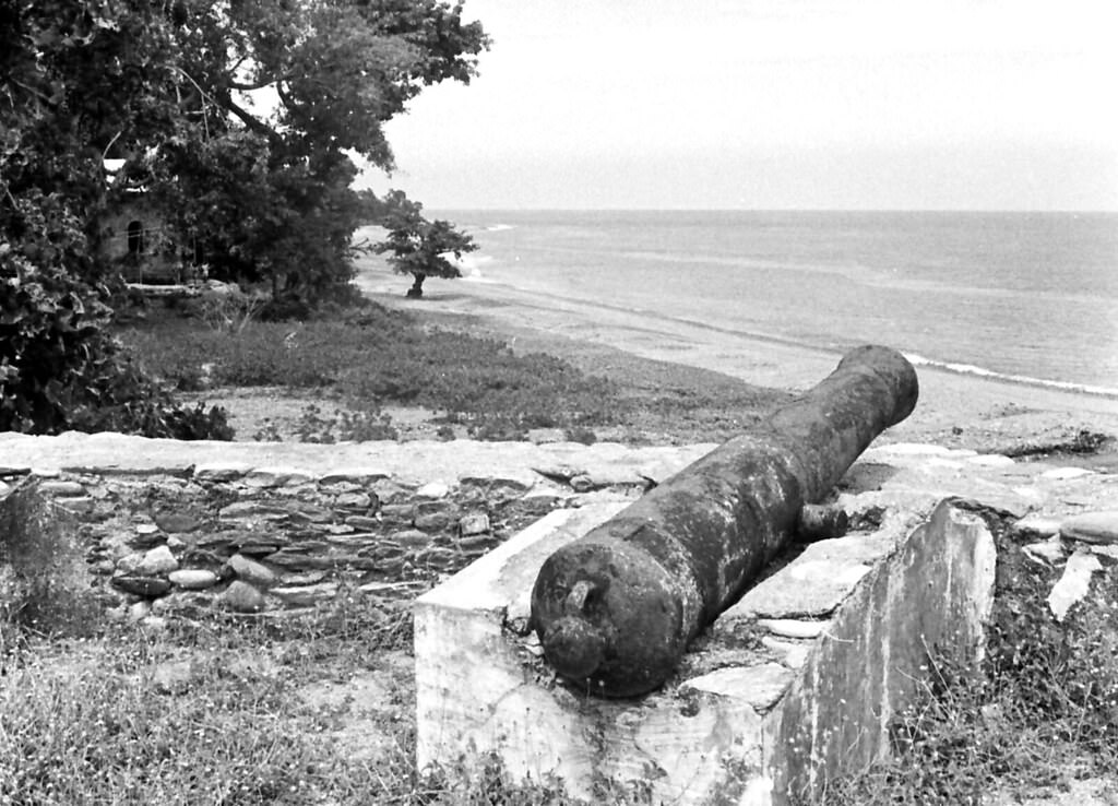
West of Dili along the coast lay Liquica, a smaller coastal town with its own distinct identity. An old fortress stood there as a remnant of earlier colonial control. A school built near the beach served the local community. Houses in and around Liquica reflected the same pile-built construction seen elsewhere on the island, adapted to the coastal environment. The beaches near Liquica were quiet stretches of shoreline, used by locals for fishing and daily life rather than recreation. The surrounding countryside showed the island’s natural character — green, rugged, and largely undeveloped.
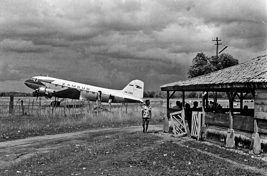
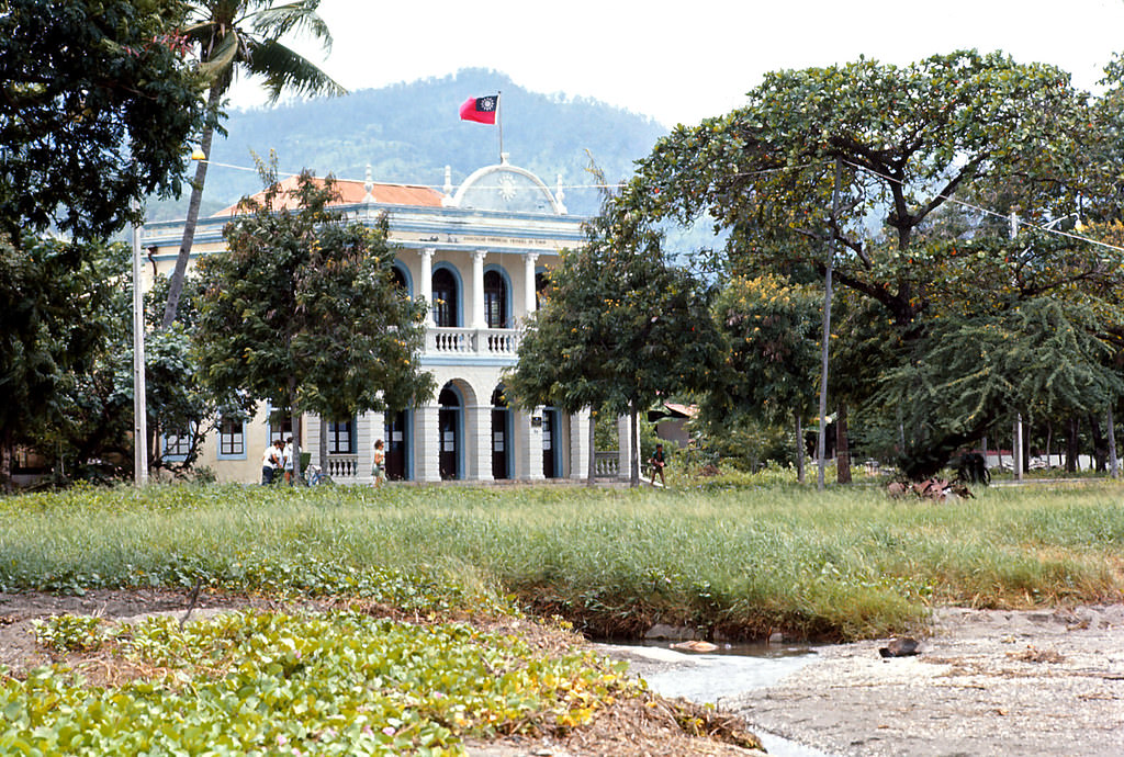
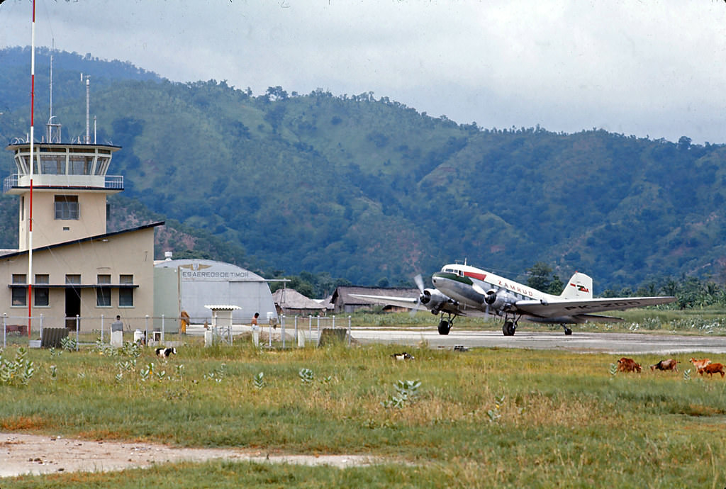
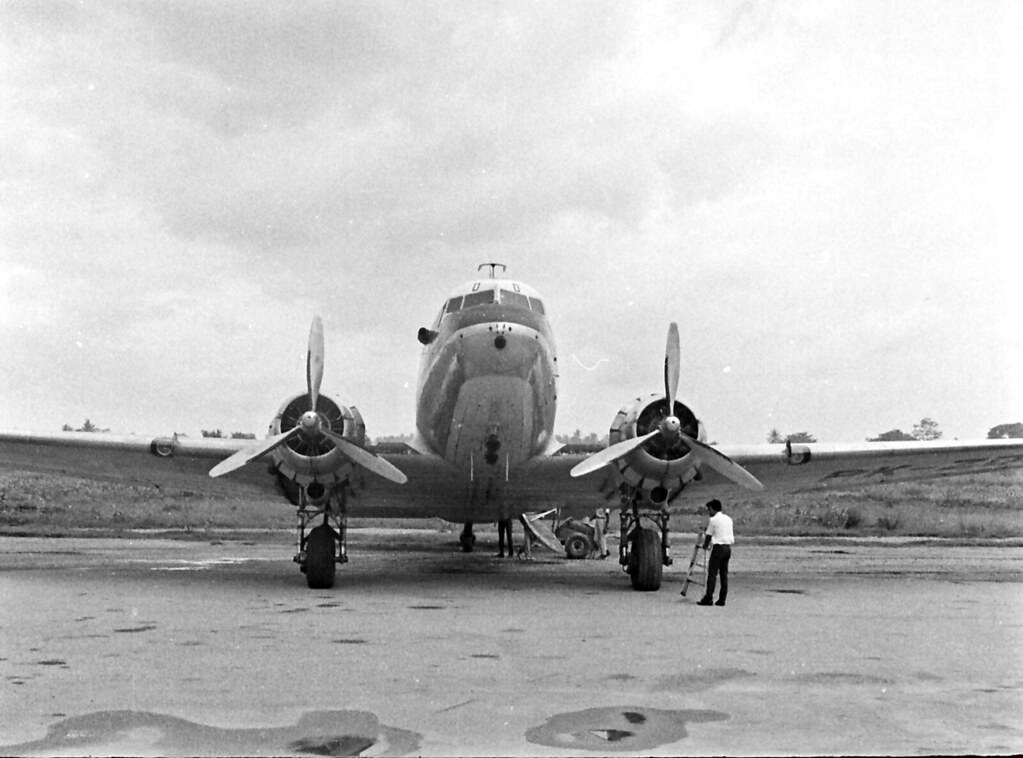
Back in Dili, inter-island vessels docked regularly, carrying cargo and passengers between Timor and other islands in the archipelago. The Chinese Consulate in Dili marked the diplomatic presence of the Chinese community, which had long maintained trade ties across the region. Dili’s airport handled DC-3 aircraft — the Zamrud, operated by an Indonesian airline — connecting the capital to the rest of the region. These aircraft were workhorses of mid-century aviation across Southeast Asia, and seeing one on the tarmac at Dili was a completely ordinary sight in the 1970s.
In 1975, Indonesia invaded East Timor following the collapse of Portuguese colonial rule. The occupation that followed lasted nearly a quarter century. East Timorese resistance fighters, even outnumbered against 35,000 Indonesian troops, refused to surrender. The conflict was brutal and long, with mass casualties among the Timorese civilian population. The path to independence was finally opened by a 1999 UN-sponsored referendum in which the East Timorese rejected an offer of autonomy within Indonesia and voted overwhelmingly for independence. The UN governed the territory temporarily until Timor-Leste became a fully independent nation in 2002, led by Xanana Gusmão, the former commander of the Falintil resistance forces.
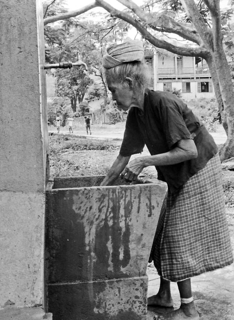
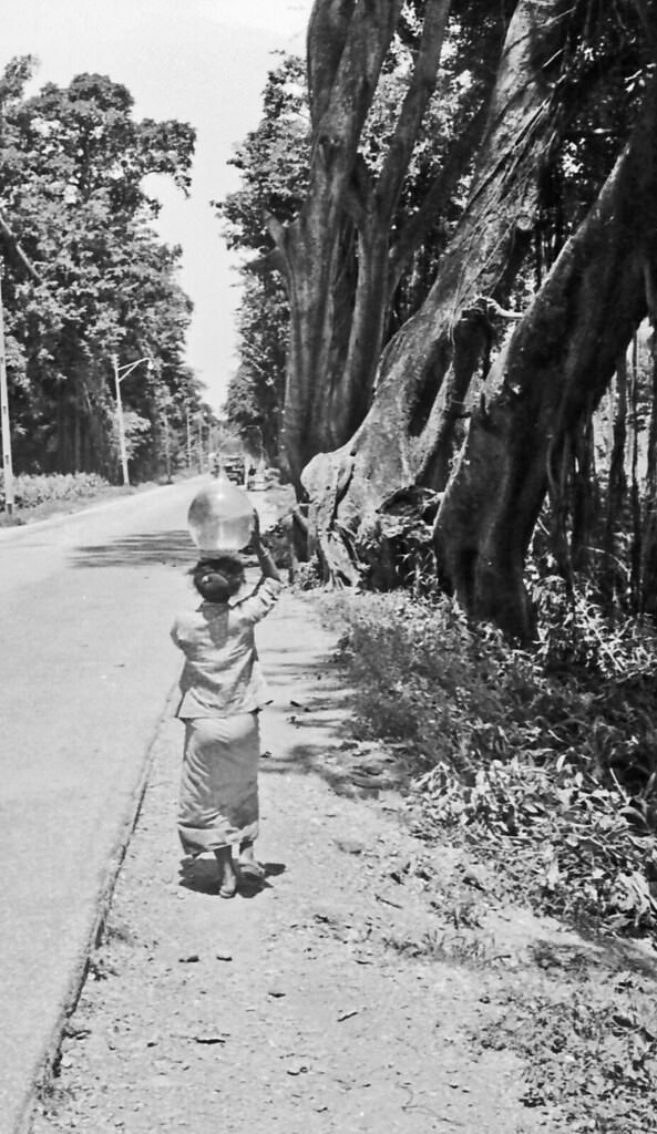
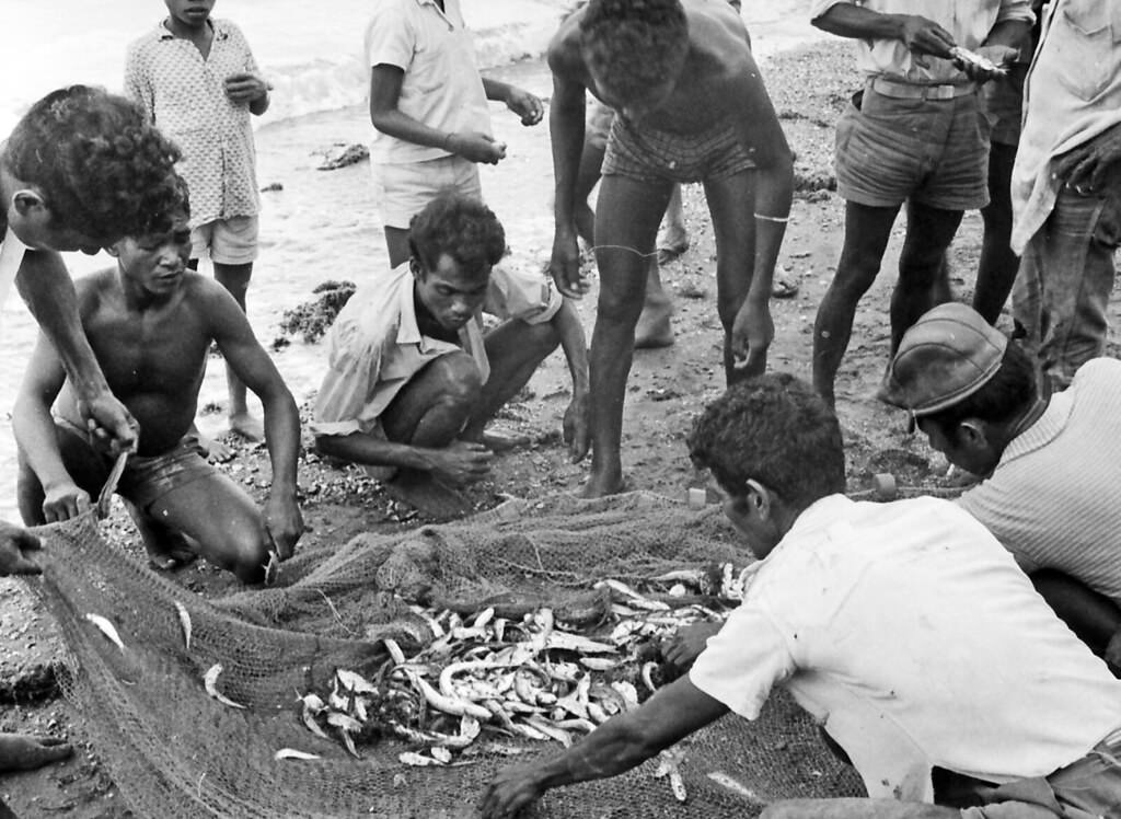
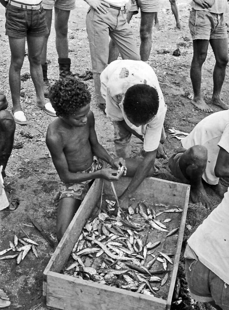

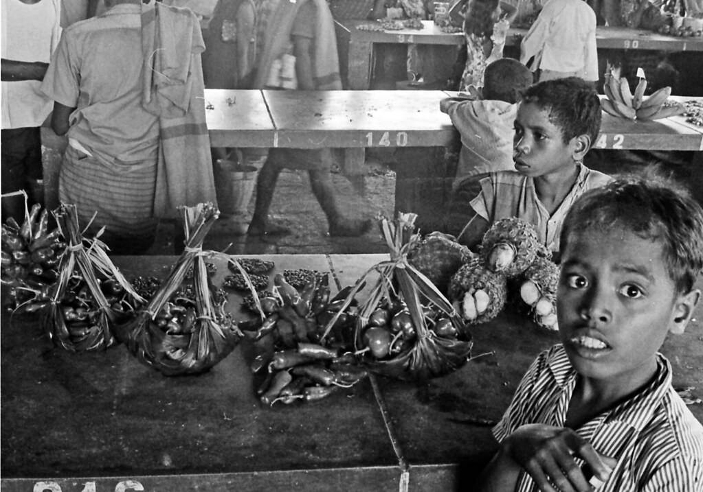
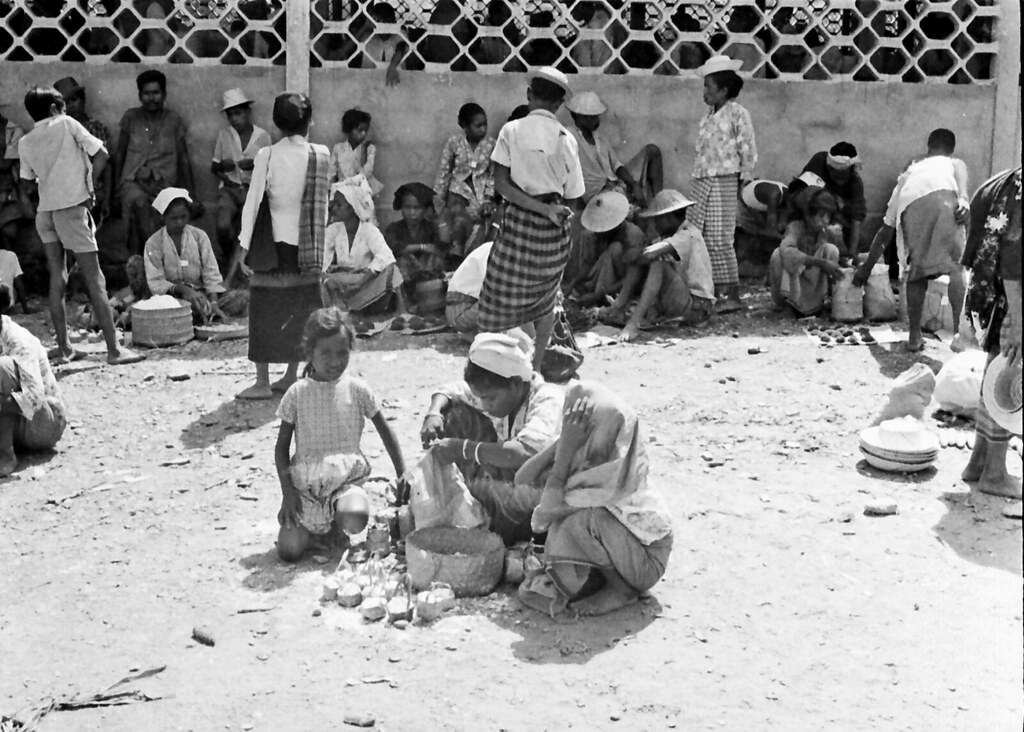
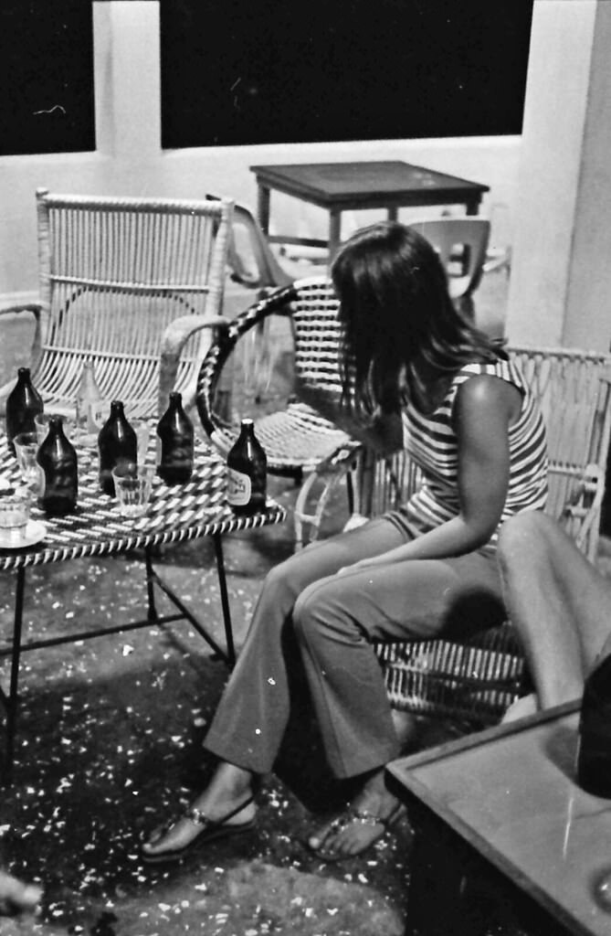
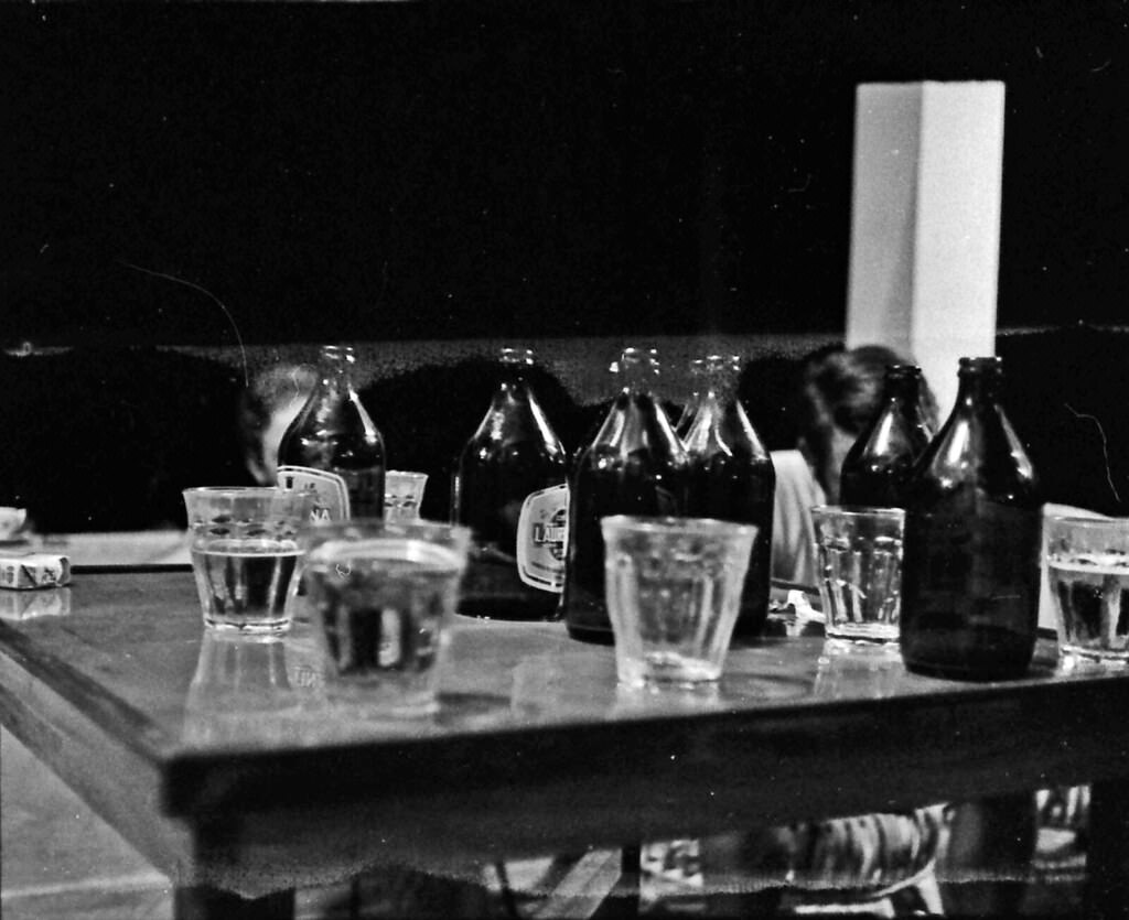
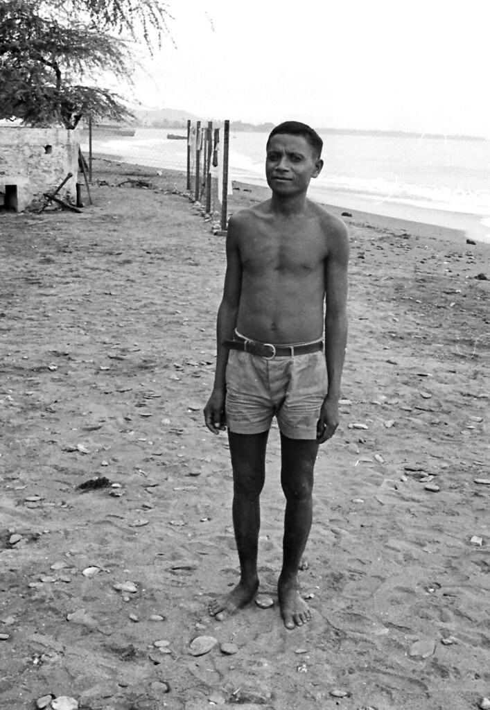
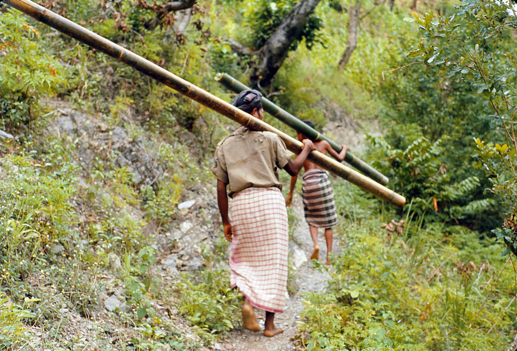
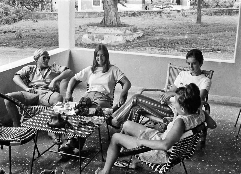
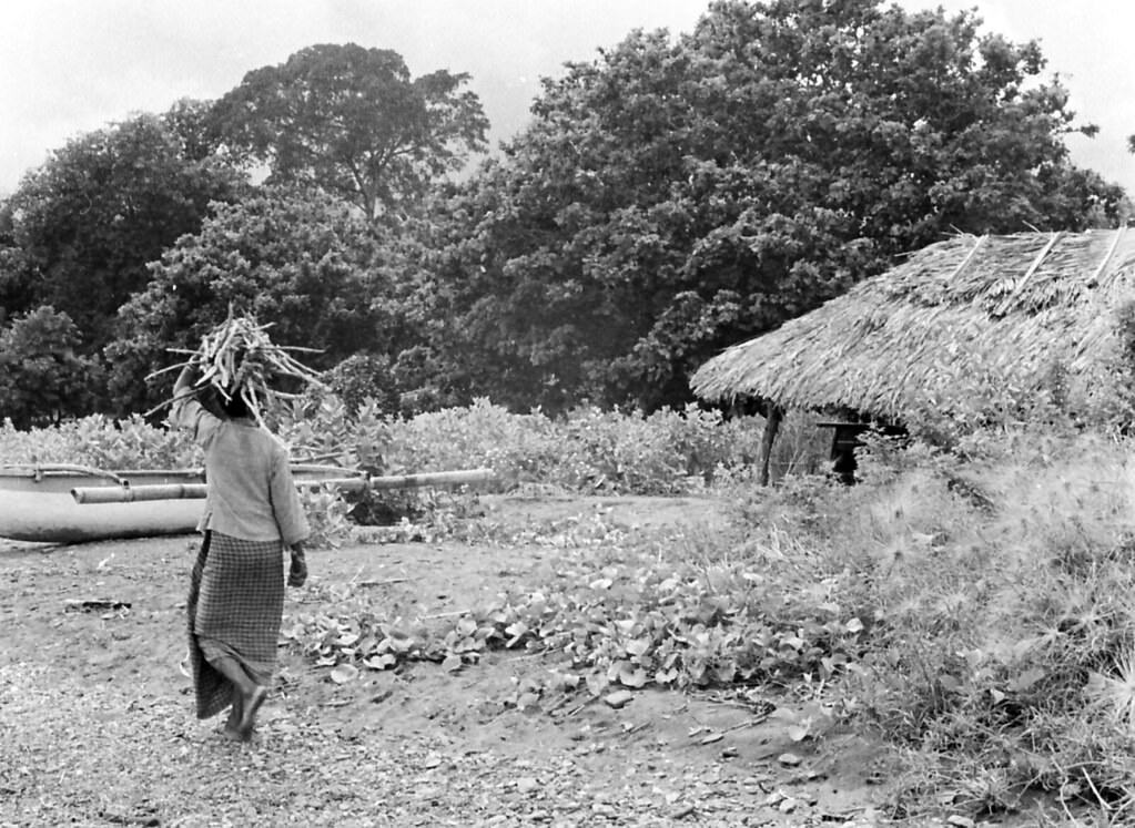
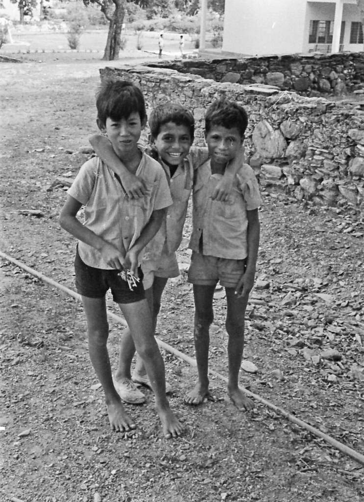
Liquica, seen across dozens of Peloquin’s photographs, offers some of the most detailed glimpses of everyday Timorese life in this collection. The town and its surroundings show a community living close to the land and the sea — children in the streets, adults going about their work, the quiet rhythms of a place largely untouched by modernity. These images document a world that was already on the edge of violent upheaval, even if the people in the photographs had no way of knowing what was coming.
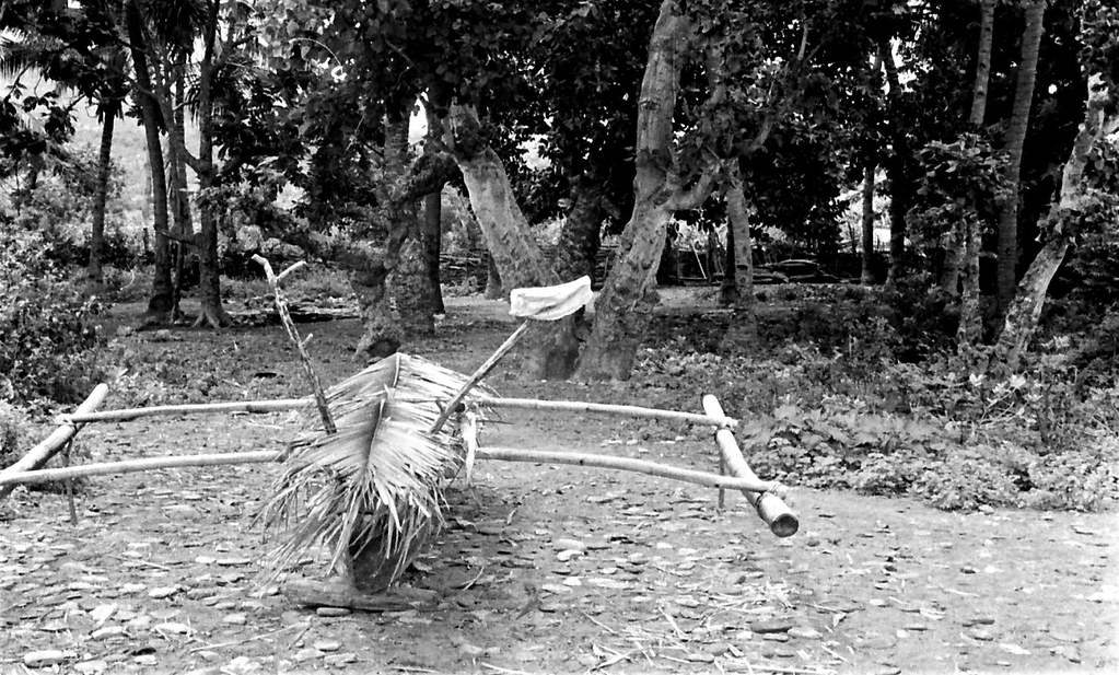
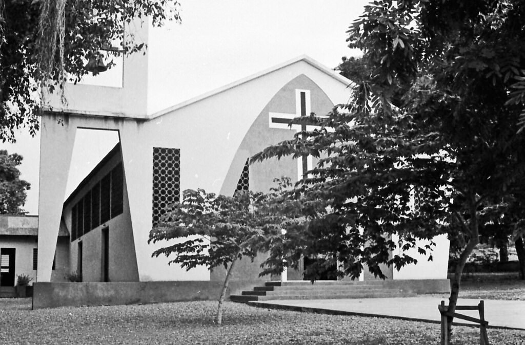
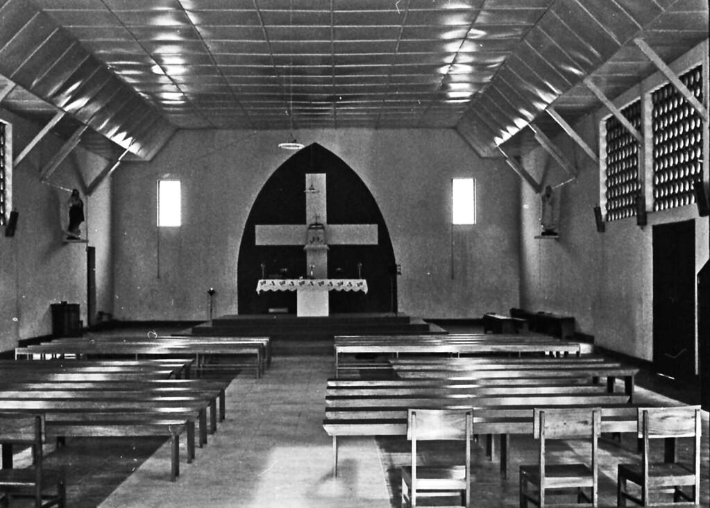
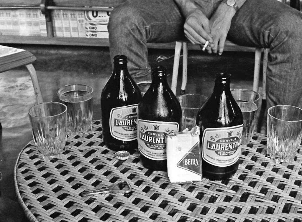
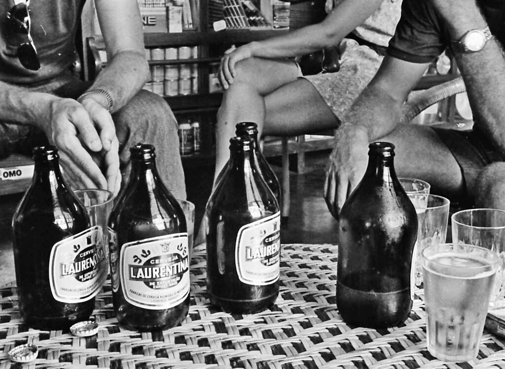
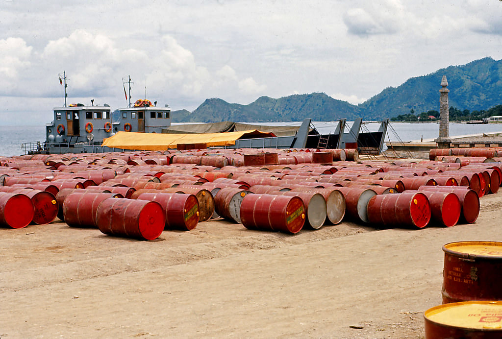
The harbour at Dili connected the island to the broader maritime world of Southeast Asia. Inter-island boats were a lifeline for trade and travel. The airport served both local and regional routes, with aircraft like the DC-3 making runs that tied remote communities to the wider economy. These transport links were critical in a territory with limited road infrastructure and challenging terrain.
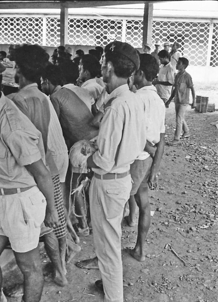
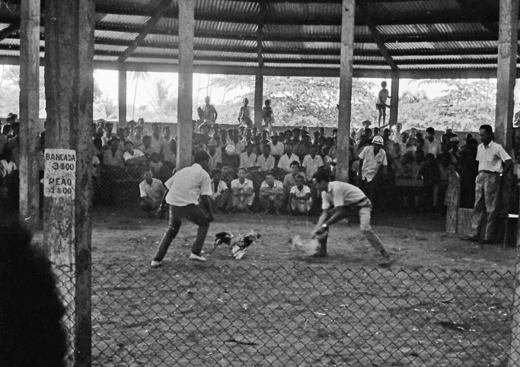
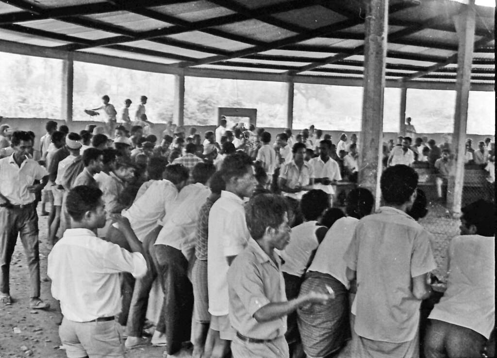
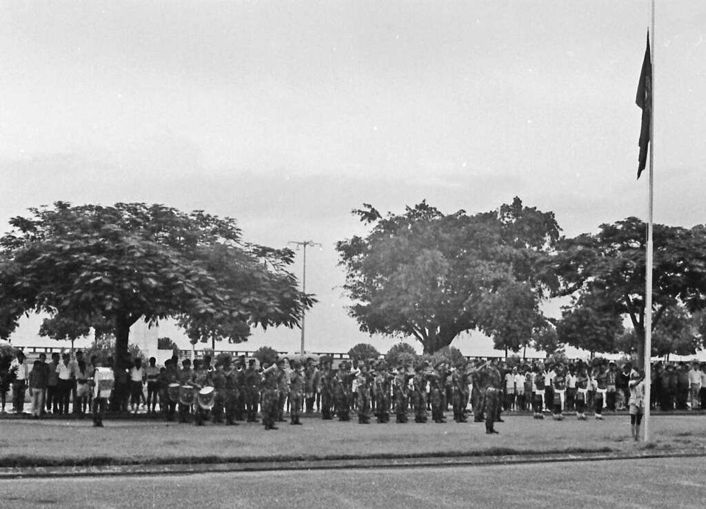
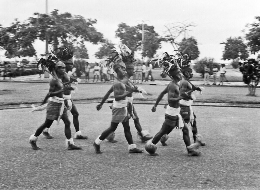
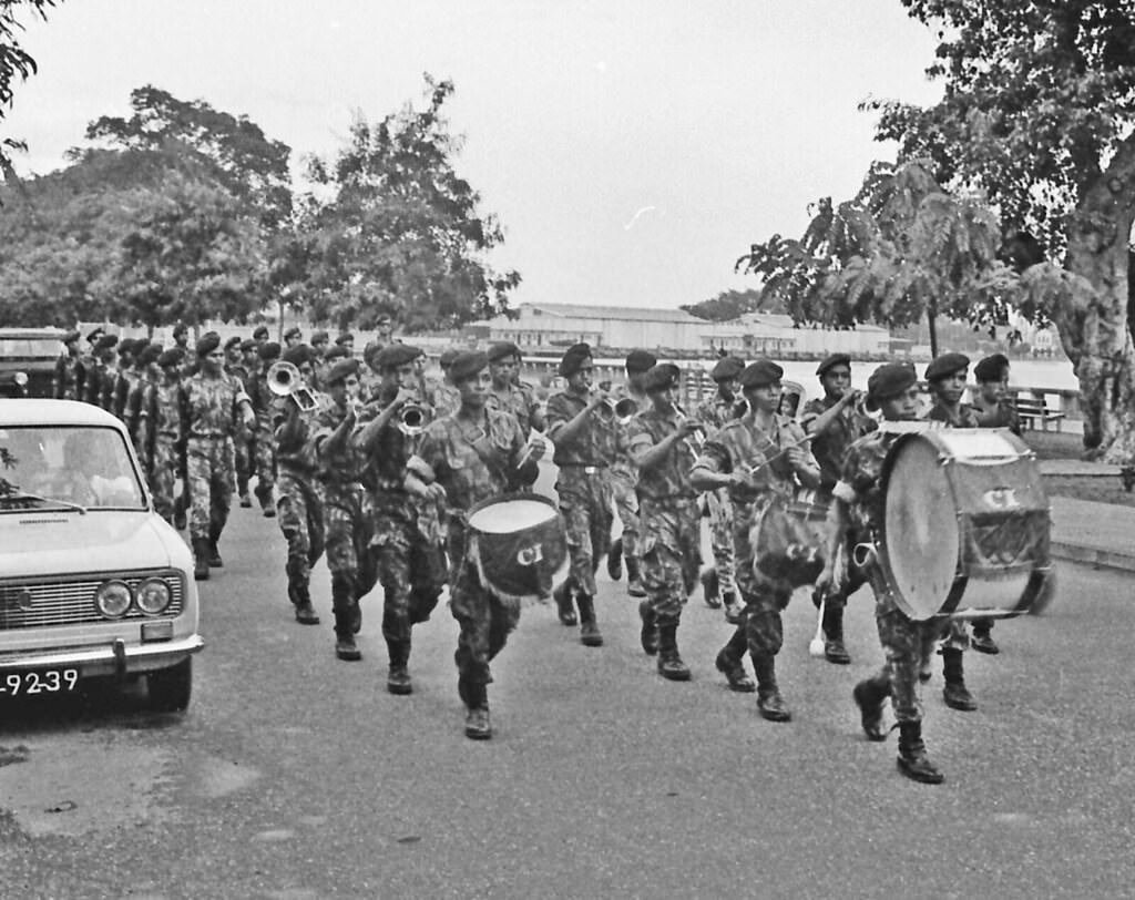
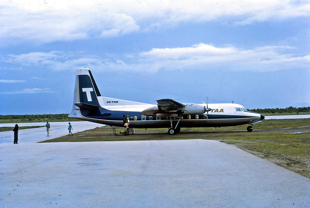
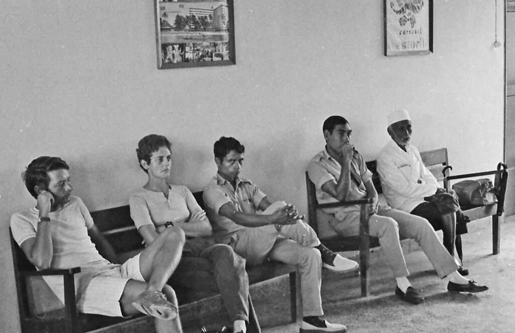
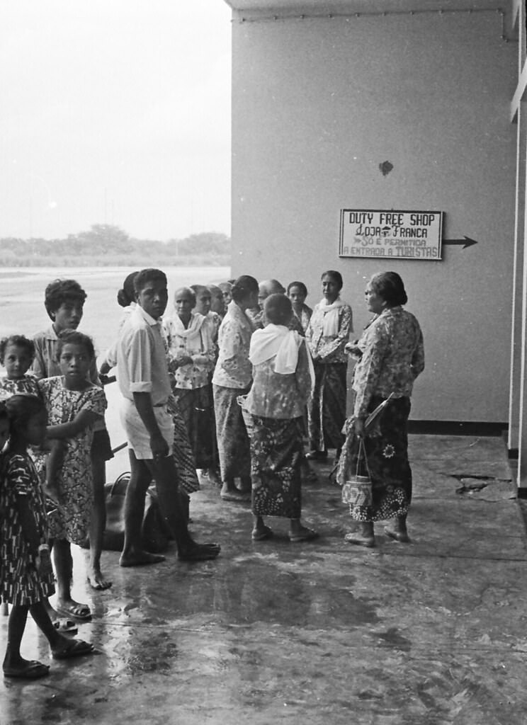
Dili’s airport was a small but essential facility. In the 1970s it handled a fraction of the traffic that modern airports manage, but it was a gateway to the outside world for a territory that was otherwise largely cut off. These photographs of the airport show its modest scale and the aircraft that served it — a snapshot of regional aviation before the upheaval of the Indonesian occupation reshaped everything about daily life in East Timor.
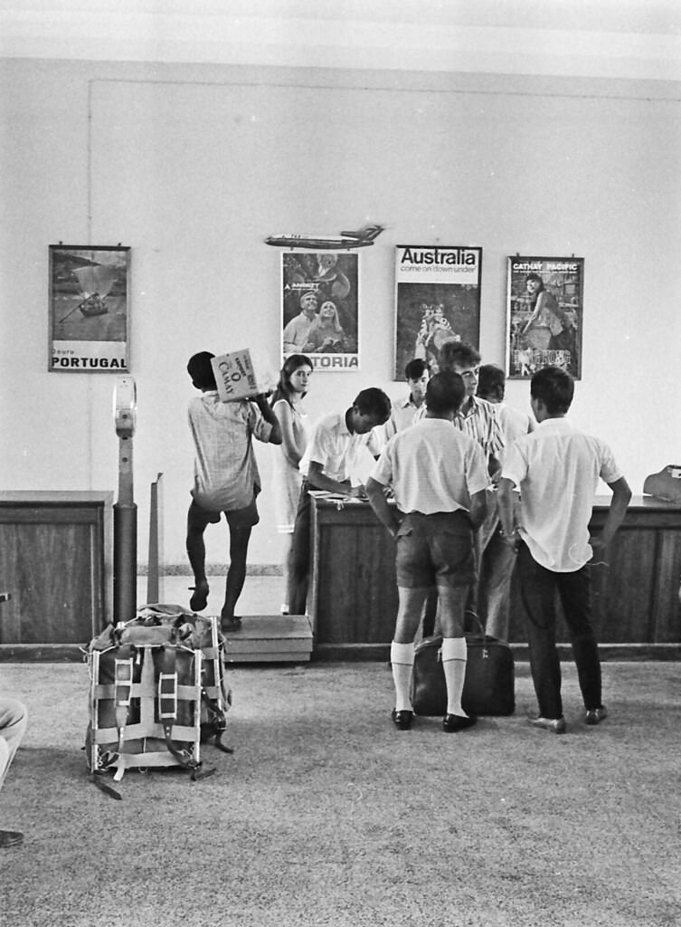
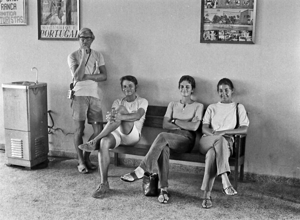
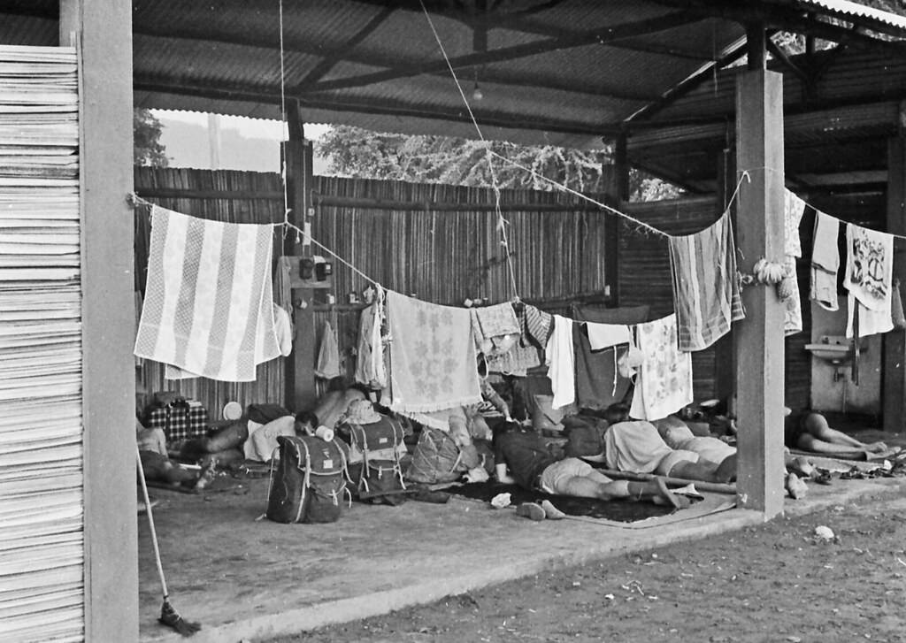
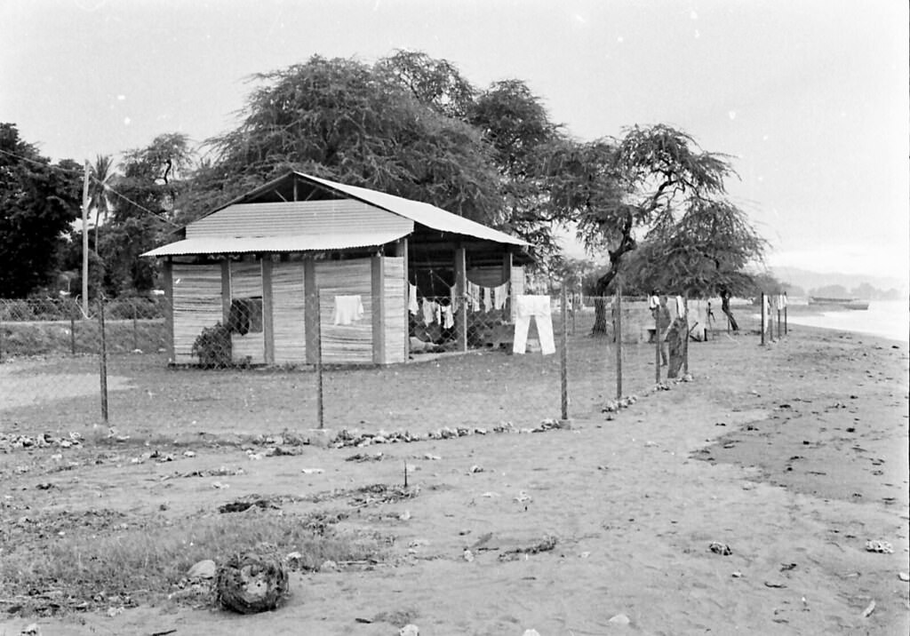
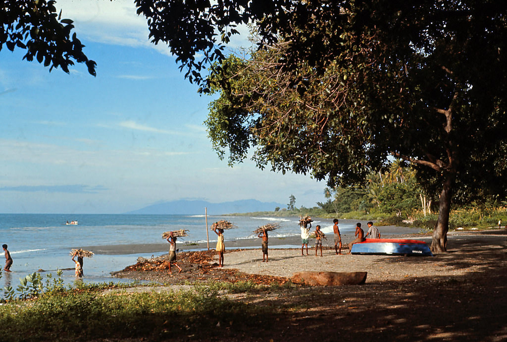
The beaches of Dili served as a gathering place and, in some cases, a campsite. Beach camps along the Dili shore were a feature of life for some residents and travellers in this period. The sea was close to everything in Dili — the market, the harbour, the government buildings. These final images in the collection round out a portrait of a territory that was, in the 1970s, still recognisably shaped by centuries of tradition and decades of Portuguese colonial rule, standing at the edge of a dramatic and violent transformation.