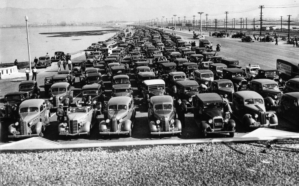
The 1930s were the continuation of the economic boom of the 1920s in Oakland. The automobile industry was growing rapidly, and the news discoveries of oil in Los Angles and other areas played a considerable role in the economic growth. Oakland was the transit hub of the East Bay until the 1930s when most people moved around on foot or by streetcar. As car ownership became more prevalent in the 1930s, cities proposed expanding their street networks and managing traffic.
Oakland Bay Bridge to San Francisco opened in 1936, and it diversified industrial expansion. In addition to automobiles, the Bay Bridge allowed interurban trains from Key System. Diverse communities across the bay came together because of the transportation improvements. With the opening of the Bay Bridge in 1937, Bartholomew’s plan paved the way for continued growth within Oakland and the larger East Bay region. Drivers in the East Bay suburbs began avoiding downtown Oakland as more cars entered the area.
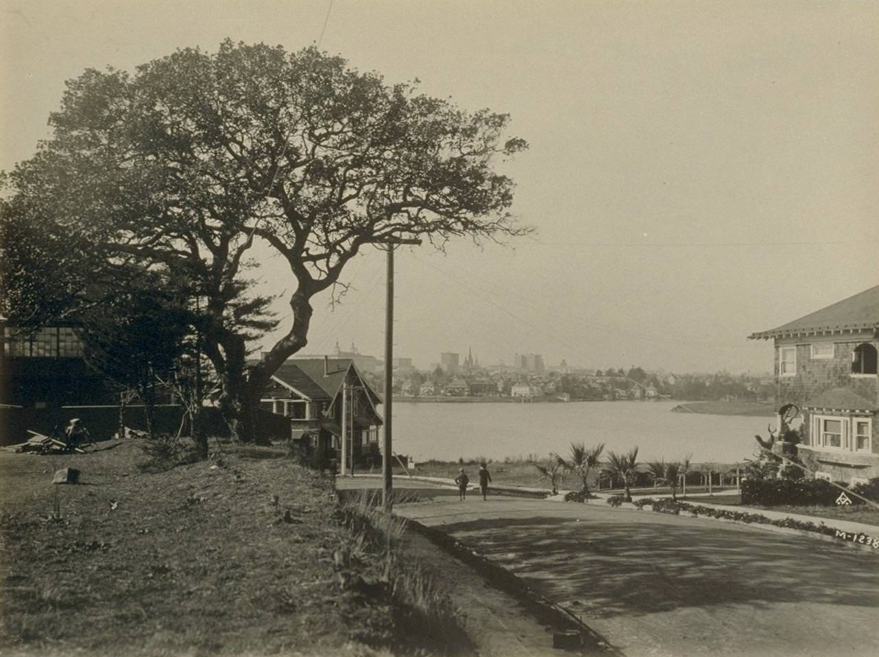
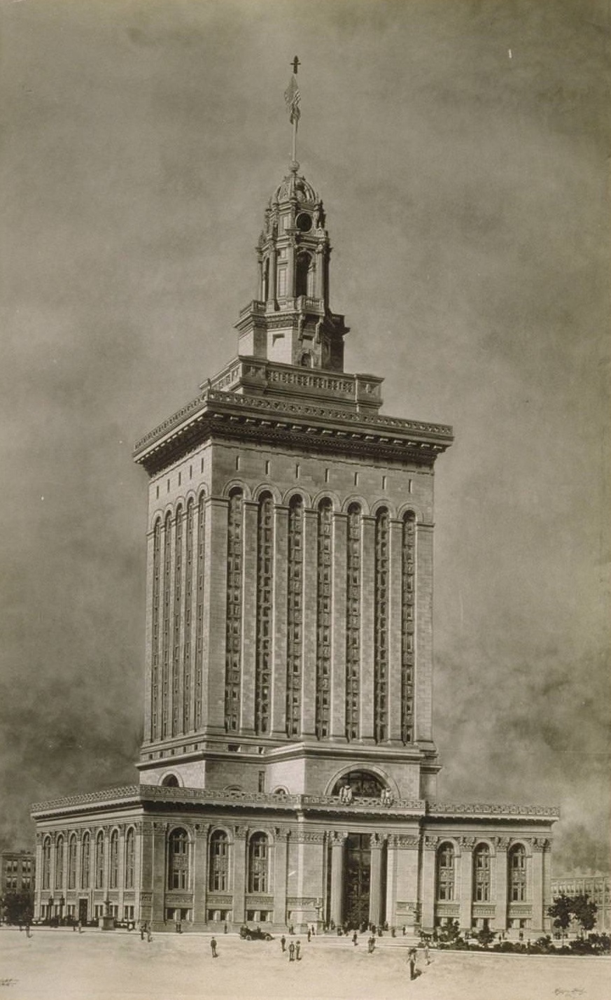
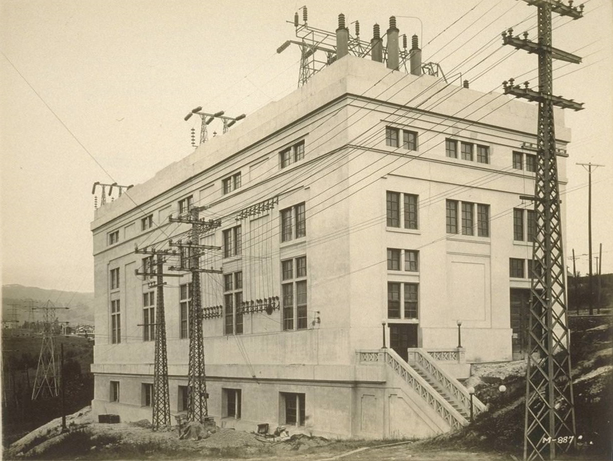
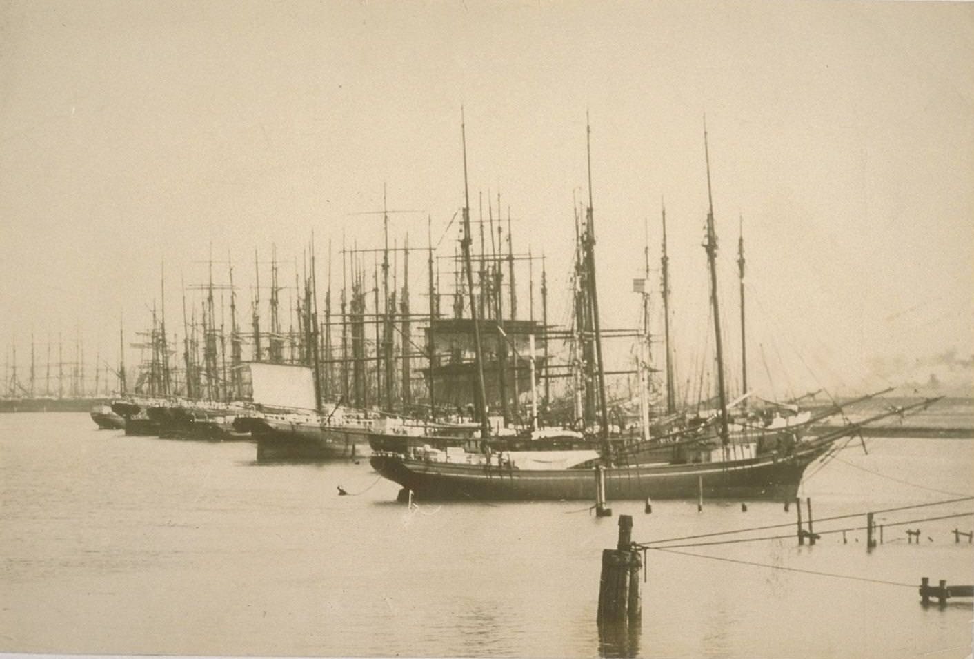
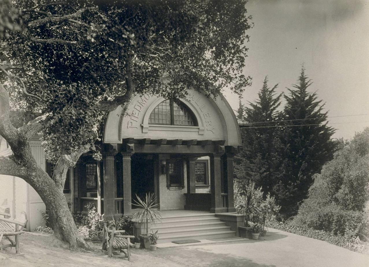
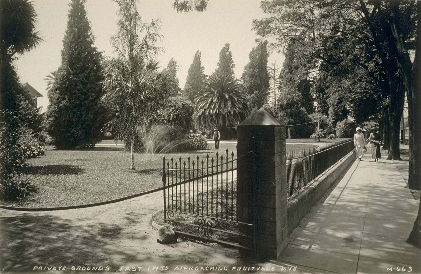
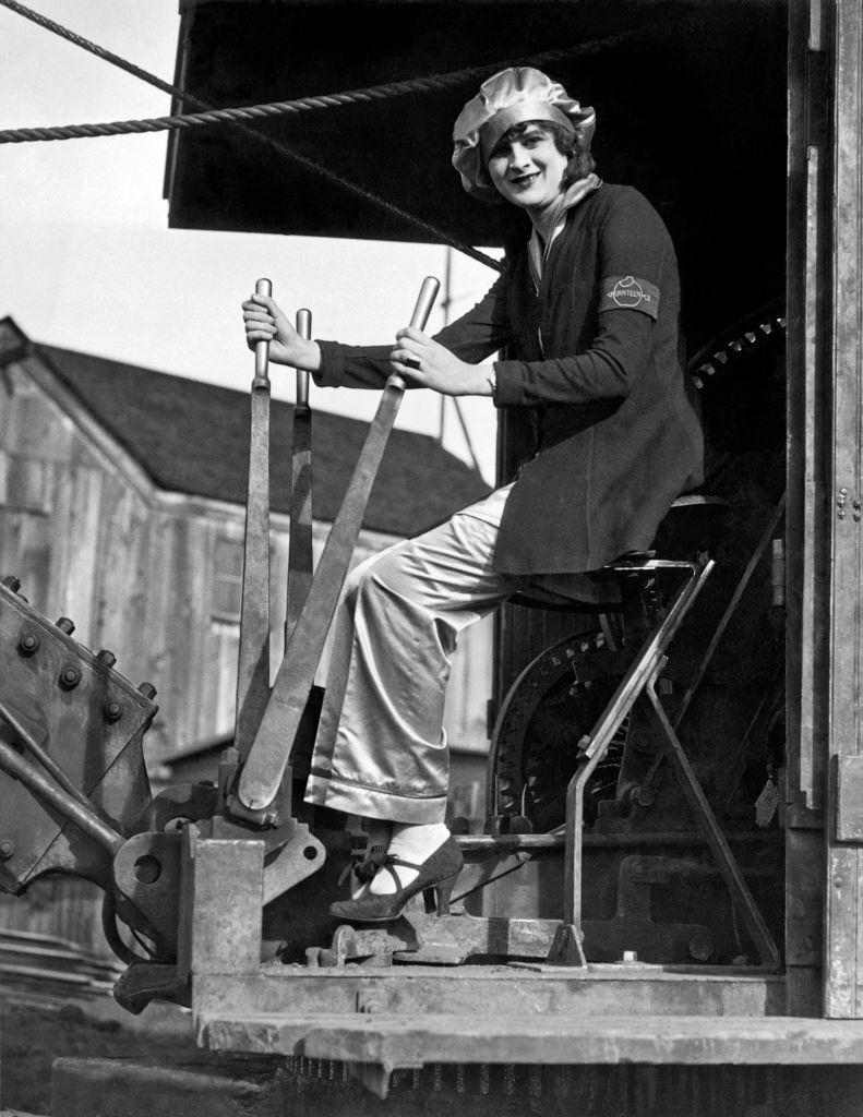
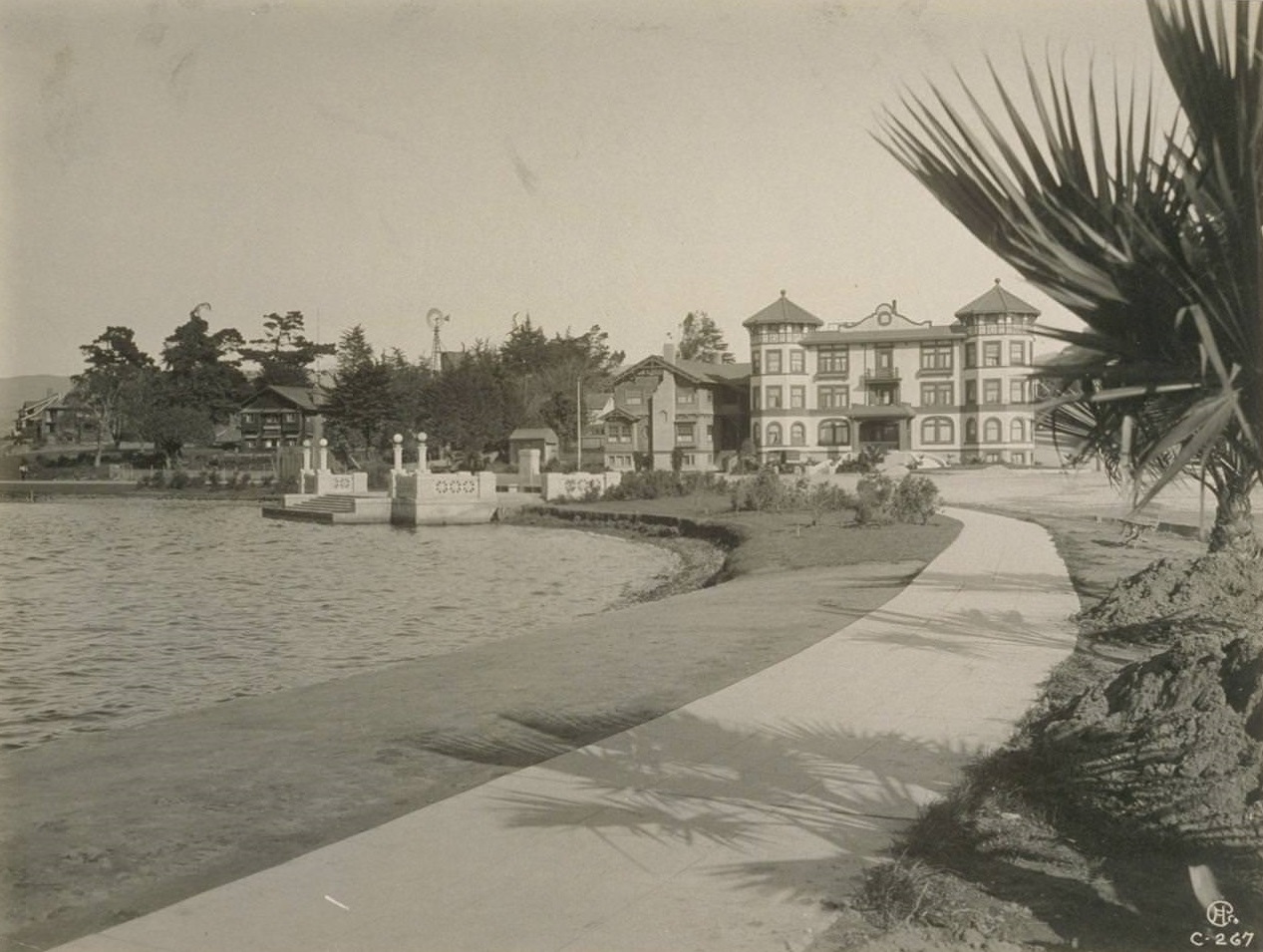
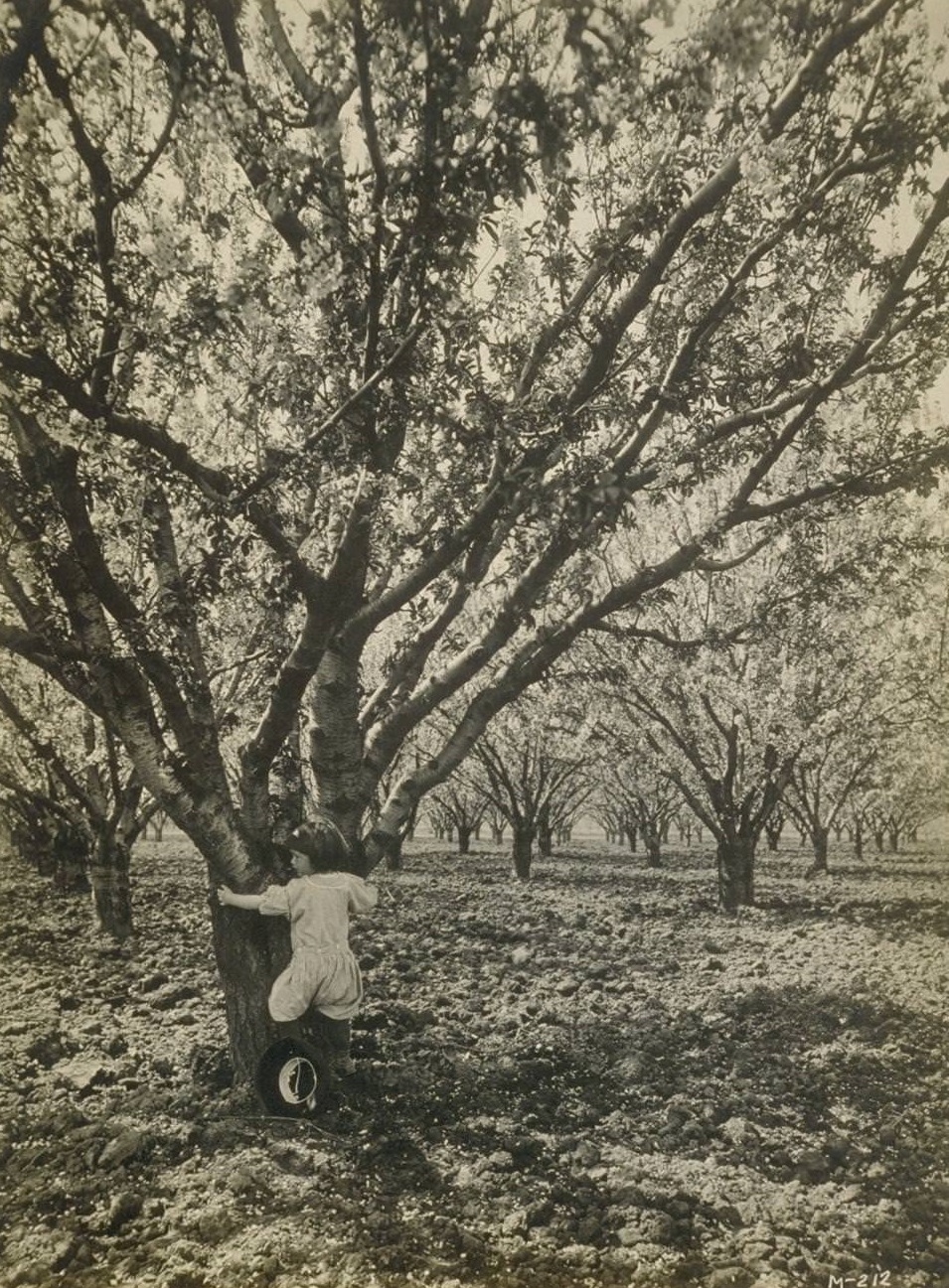
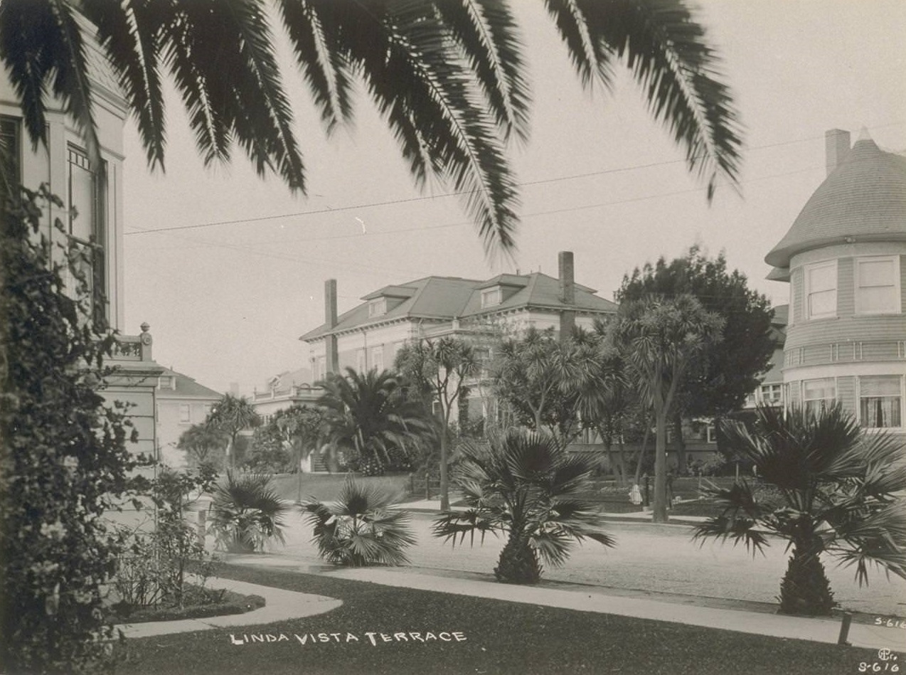
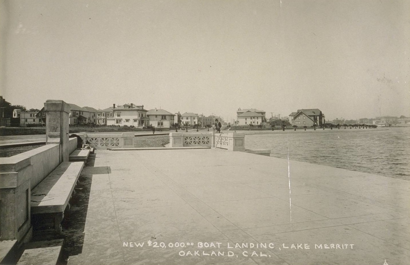
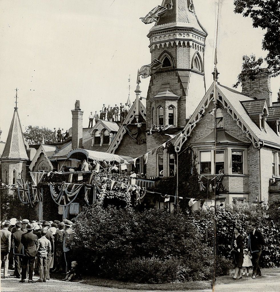
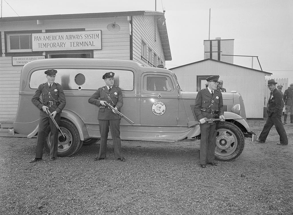
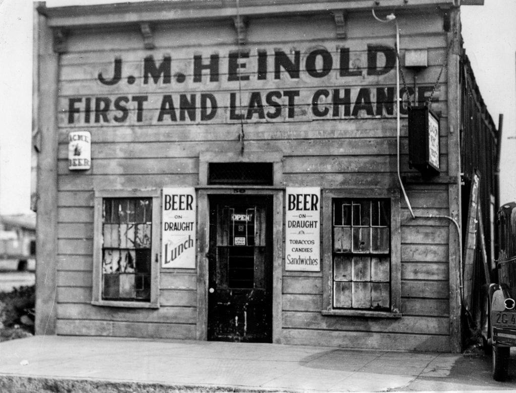
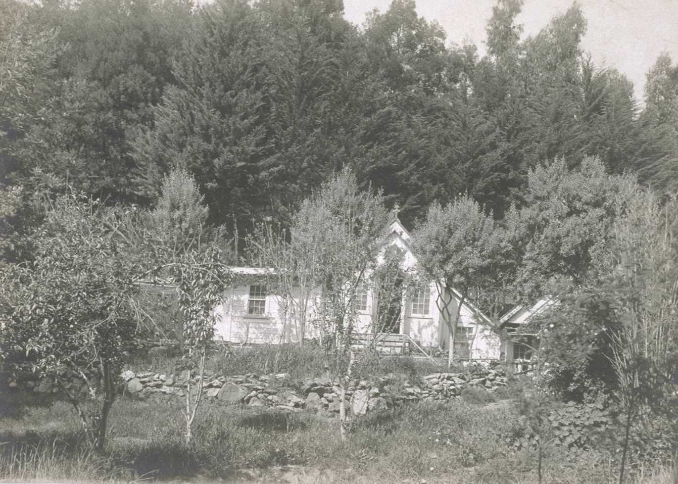
Below are some historical photos that show what Oakland looked like in the 1930s.


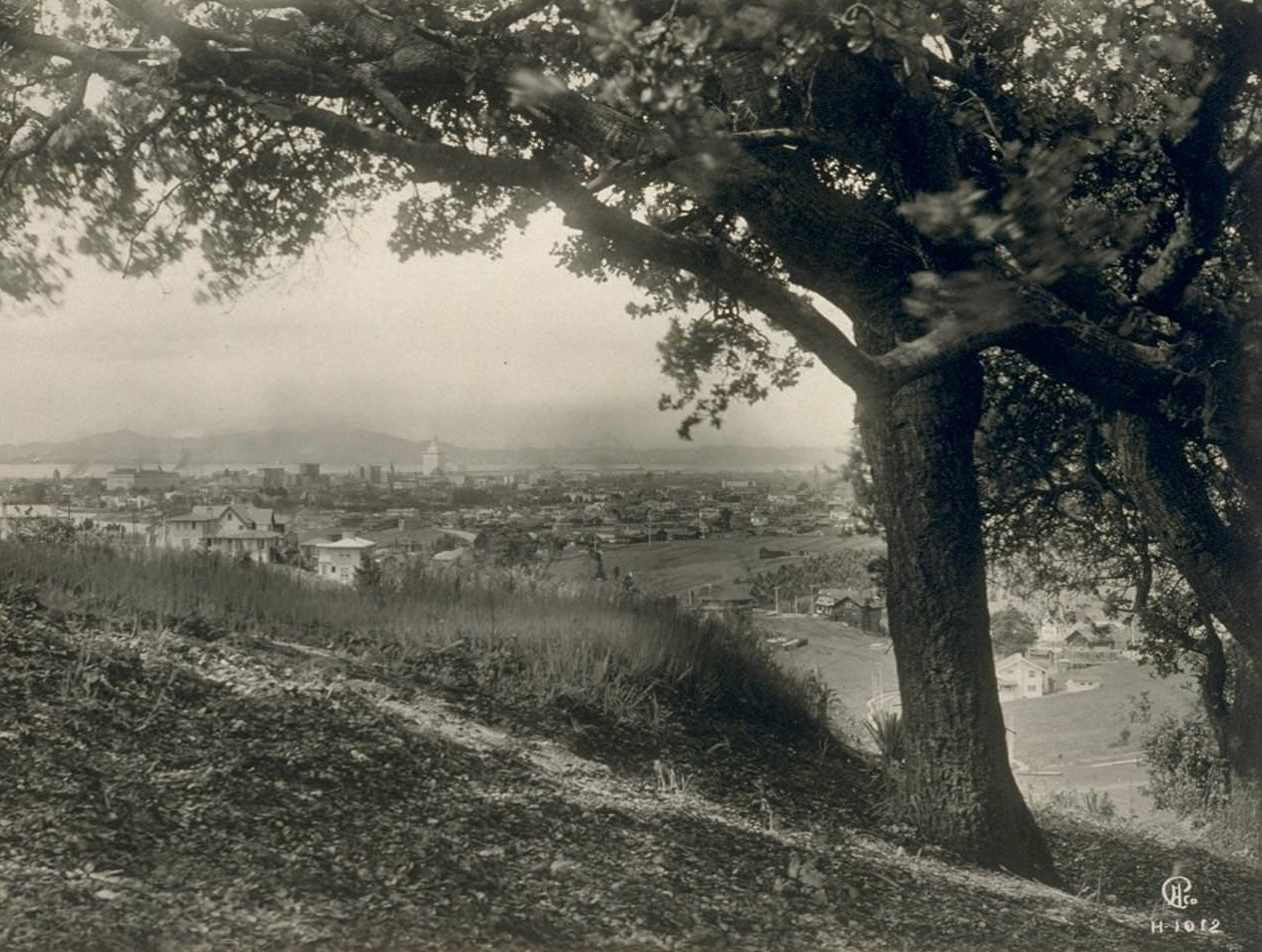
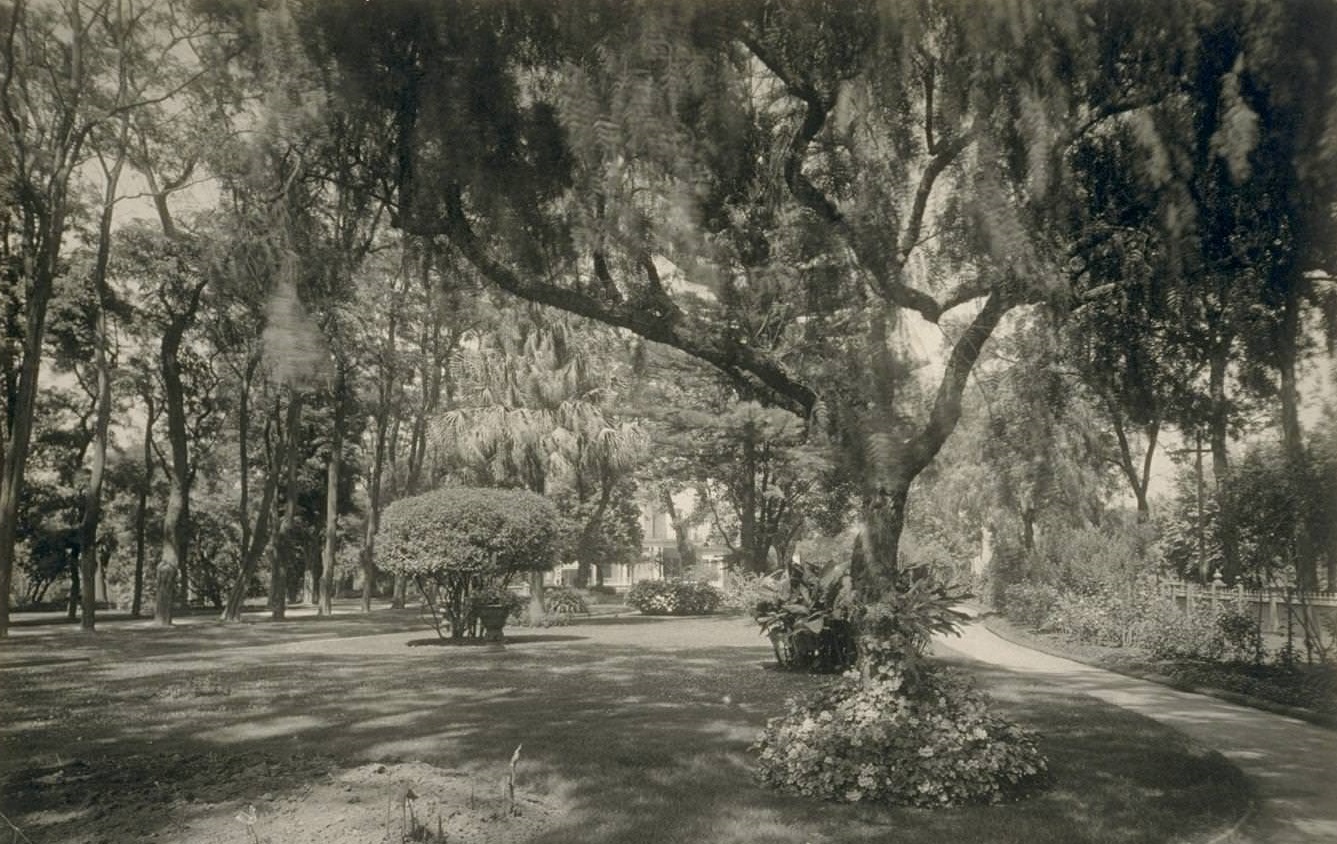
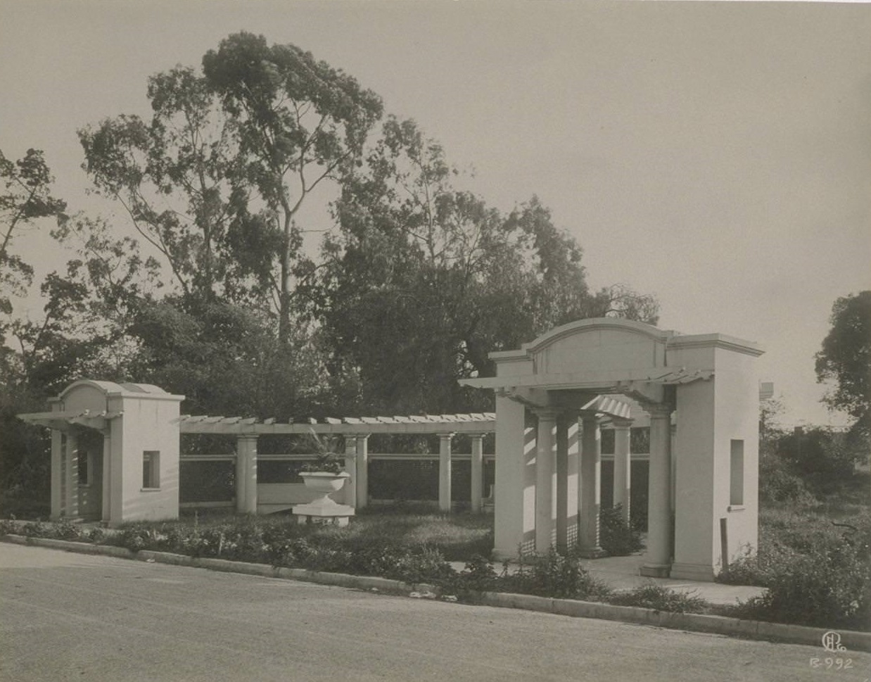
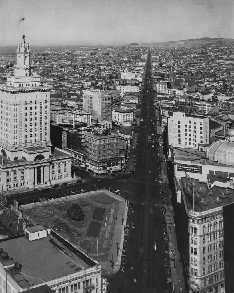
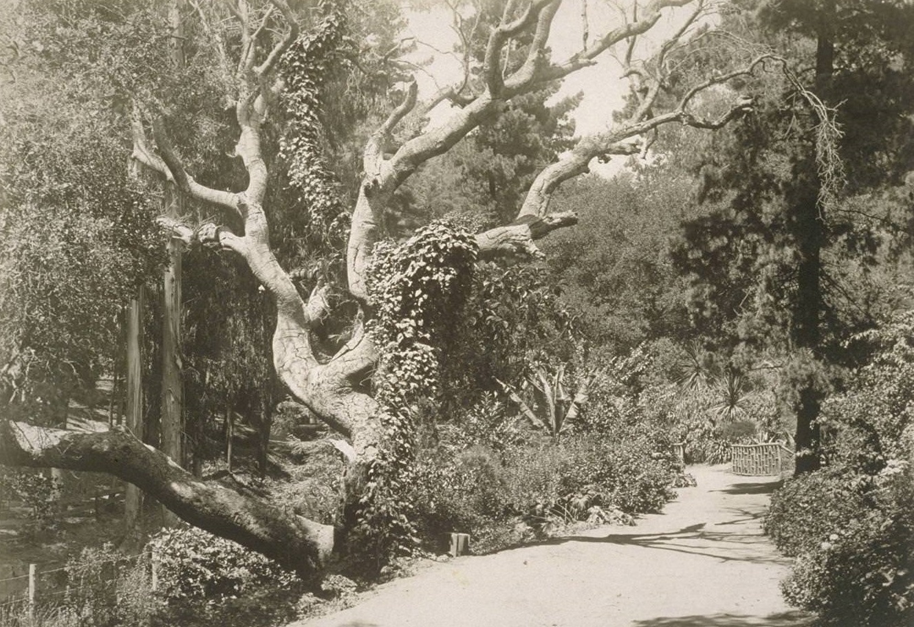
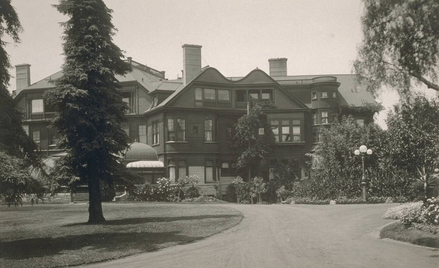
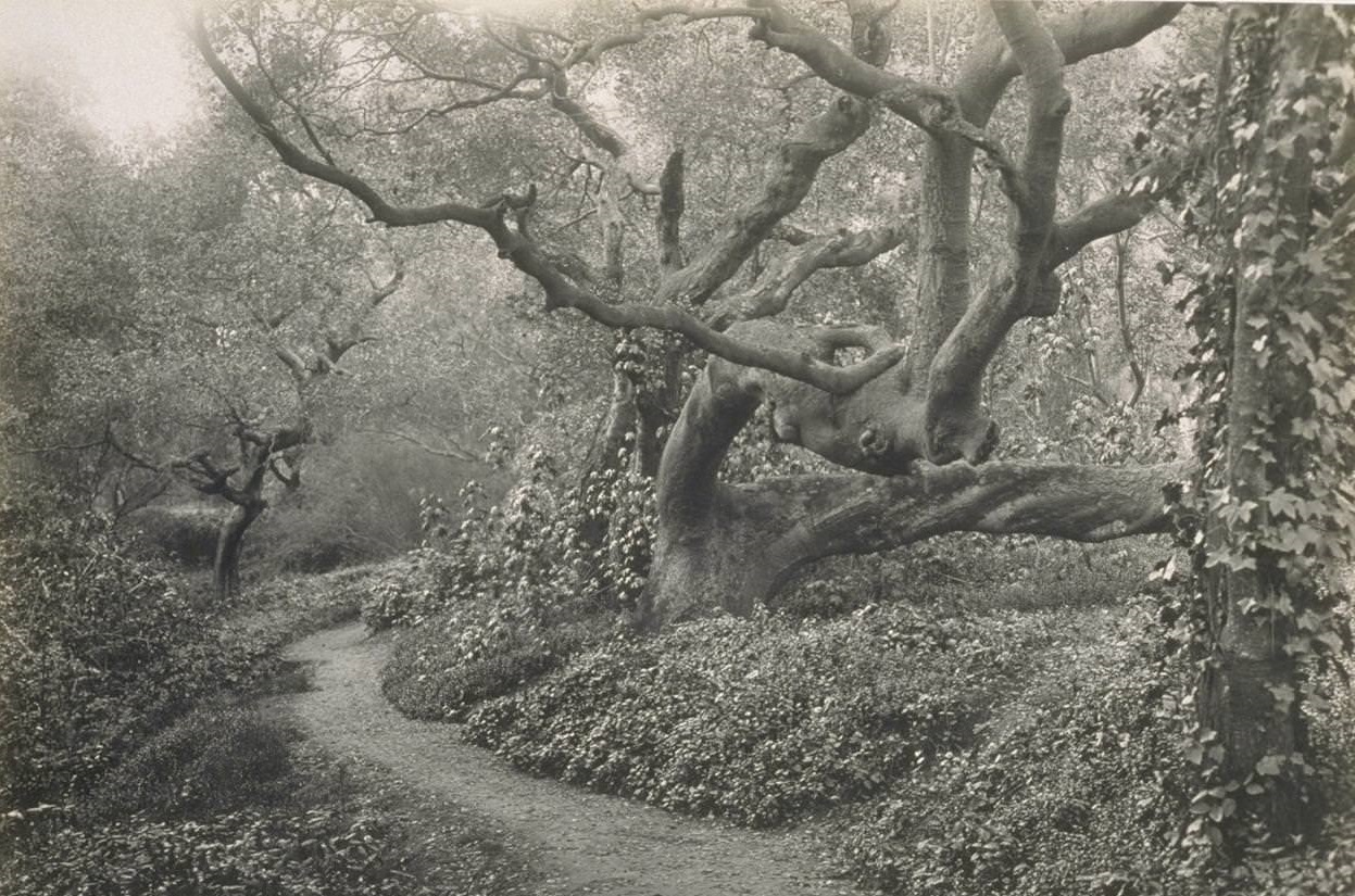
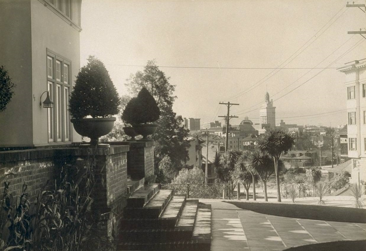
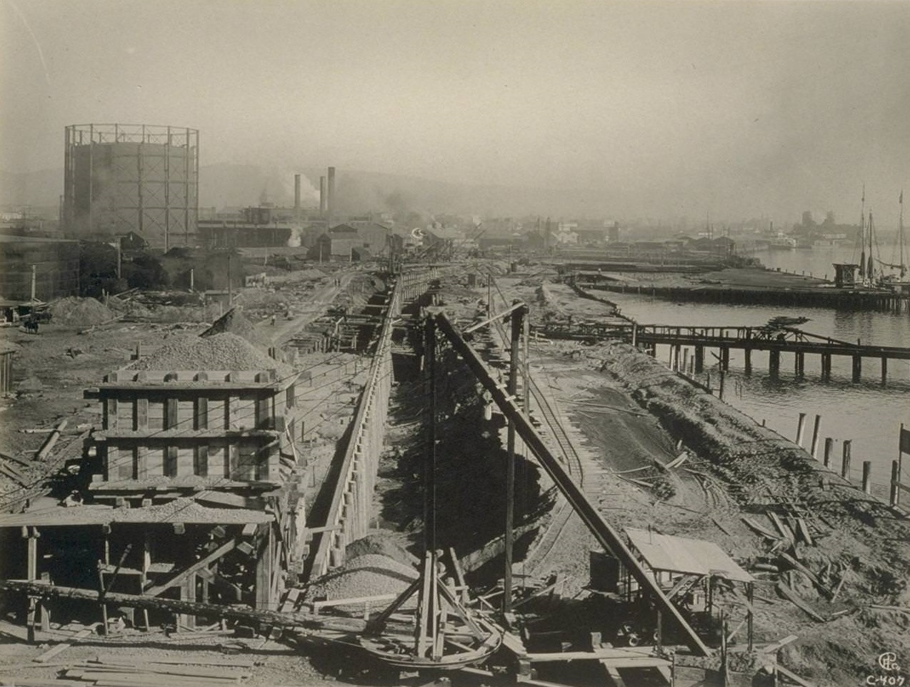
![Dredging [and] dumping rock on bullshead wall, 6500 ft. long in ...](https://www.bygonely.com/wp-content/uploads/2021/09/Oakland_1930s_10.jpg)
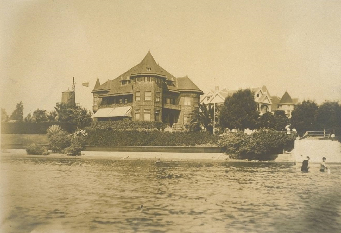
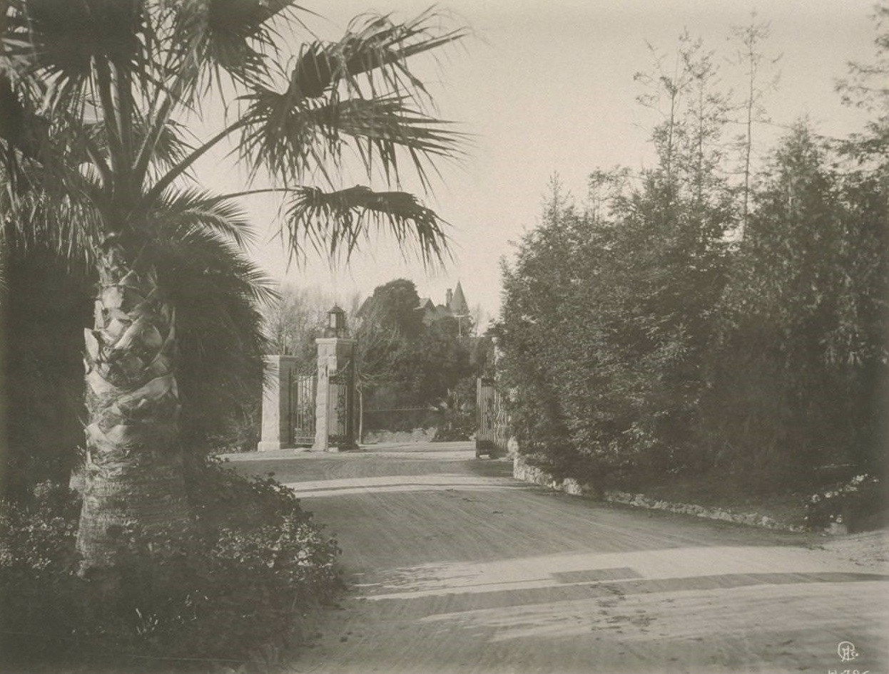

This is depressing. There is no reason to think it is the same city.
What makes it so depressing?
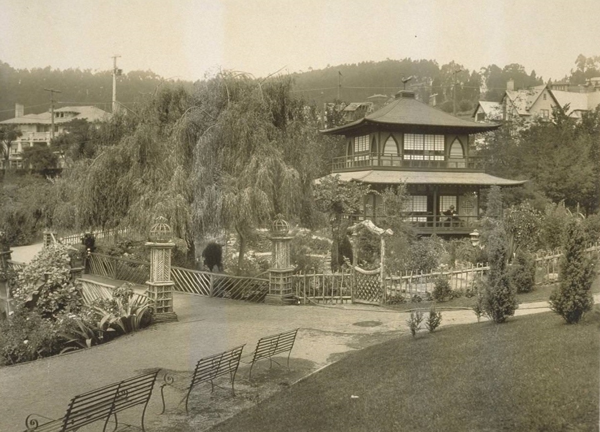
For instance, look at the mosswood park photo. It looks like a beautiful park with a beautiful pergola. Currently, Mosswood is just a homeless camp surrounded by trash. Although people are occasionally shuffled around, and some areas are cleaned up,
I also felt sad while looking at these photos. People today have it better in many ways than they did back then. Oakland is no longer the same as it used to be, and it looks kind of decrepit in some places where it used to be beautiful.
I guess things change, but Oakland still has some great parks.
The city looked well-kept, and the public spaces were well-kept as well. Comparatively to what it has become, it looked like such a beautiful place.
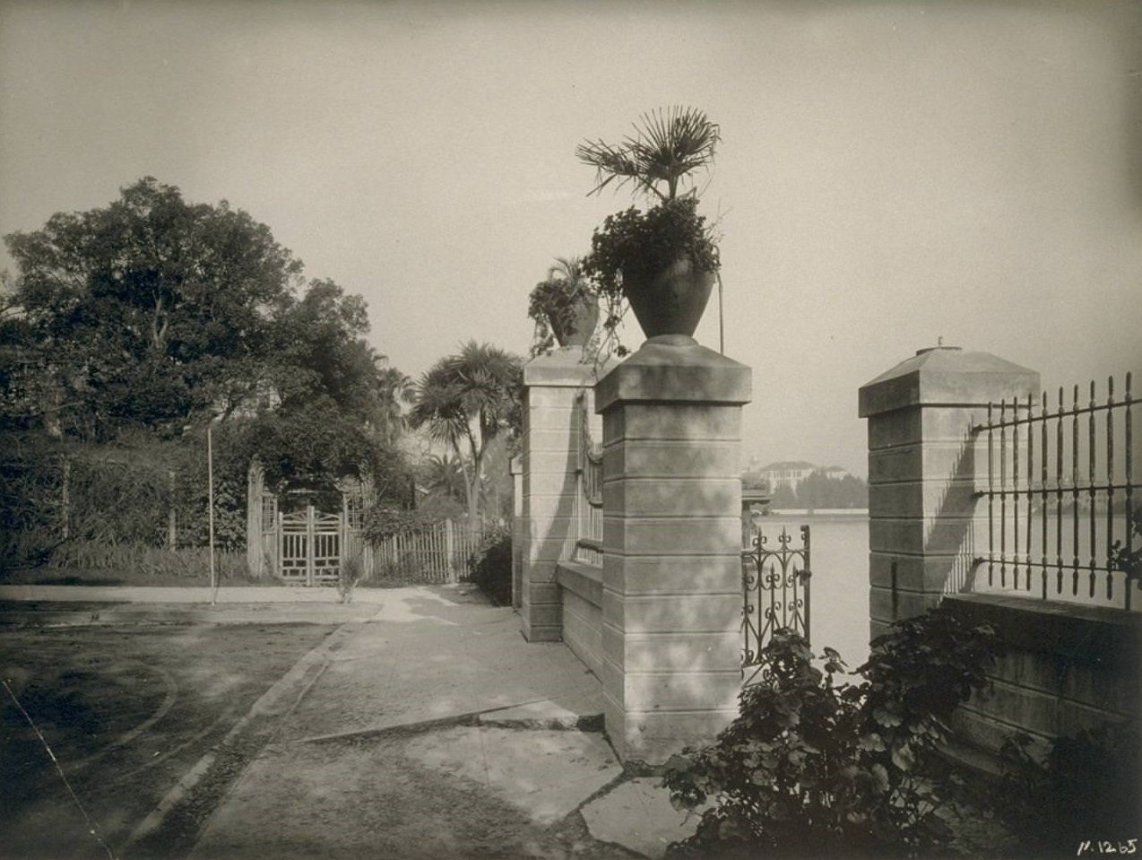
Where was Piedmont Park? In Oakland or Piedmont. According to my memory, the Smith property was where Oakland High now stands.
I’m sitting with a friend that’s 95 years old. She said that when you went to the ladies room and sat down, there was a man’s voice recording that would say, “Hey! Be careful! I’m working down here!”
This was at the first and last chance saloon. We’re having a fun time going through the pictures. She said that when you would come out of the ladies room that everyone would laugh at you.
Thank you for posting these pictures. She lived in Oakland during the 1930s and 40s.