
Queensland is Australia’s second-largest state, covering nearly a quarter of the entire continent. It is roughly seven times the size of the United Kingdom and more than twice the size of Texas. That sheer scale means the state holds an extraordinary range of landscapes — tropical rainforests, flat farming tablelands, inland creek systems, bushland, and over 200 national parks. Its coastline of beaches and islands draws visitors from around the world, and its position on key migration routes gives it the most diverse animal population of any Australian state.
The 1930s were not an easy time for Queensland or the rest of Australia. The Great Depression hit hard, driving unemployment to devastating levels. The state Labor government responded by pushing large capital improvement projects to keep workers employed and money moving through the economy. By 1934, the worst of the financial crisis had passed, and social services that had been cut during the Depression were gradually restored. The photos below capture this decade in remarkable detail — from the farms of the Darling Downs to the streets of Brisbane, Cairns, and Townsville.
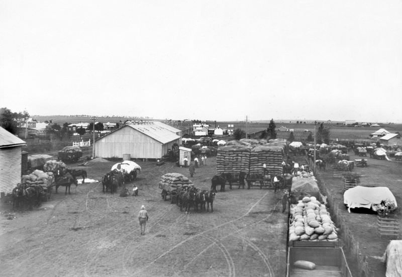
Farming was the backbone of Queensland’s economy long before and throughout the Depression years. The Darling Downs, a fertile agricultural region in the state’s southeast, was a key wheat-producing area. Deliveries to wheat dumps were a regular part of rural life, with farmers carting their harvests along dirt roads to collection points.
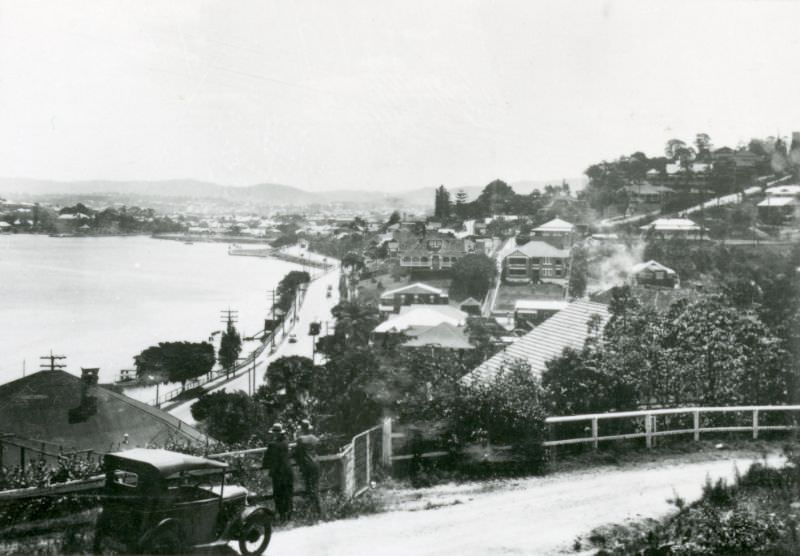
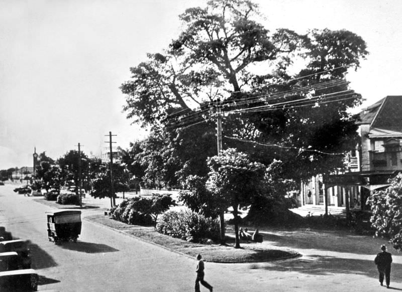
Brisbane served as Queensland’s capital and largest city. The Brisbane River cuts through the heart of the city, and life along its banks was central to daily routines. Hamilton Road ran along one of the river’s more settled northern reaches, where residential development had already taken firm hold by 1930.
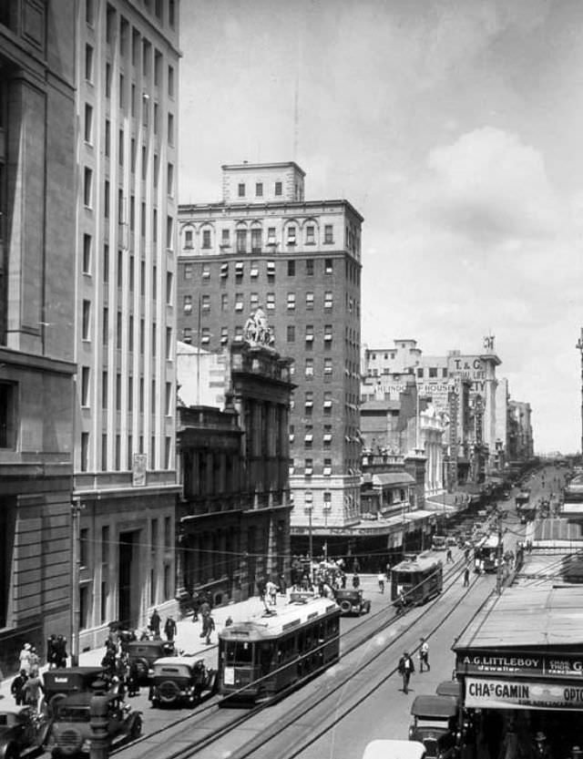
Queen Street was Brisbane’s main commercial artery. In October 1930, it was lined with shops, trams, and pedestrians going about their day. Despite the economic hardship of the Depression, the street remained a busy hub of city life.
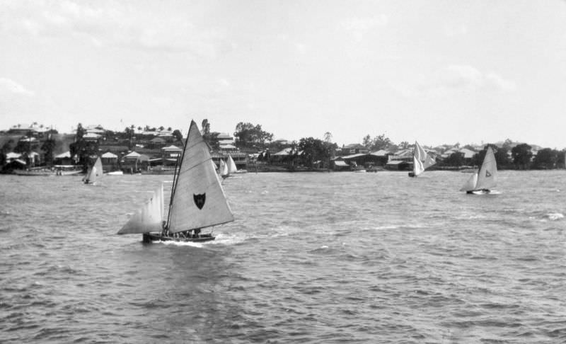
The Brisbane River wasn’t just a transport corridor — it was also a place for leisure. Sailing on the river was a popular pastime for locals, and scenes like this one from October 1930 show that even during difficult economic times, Queenslanders found ways to enjoy the natural environment around them.
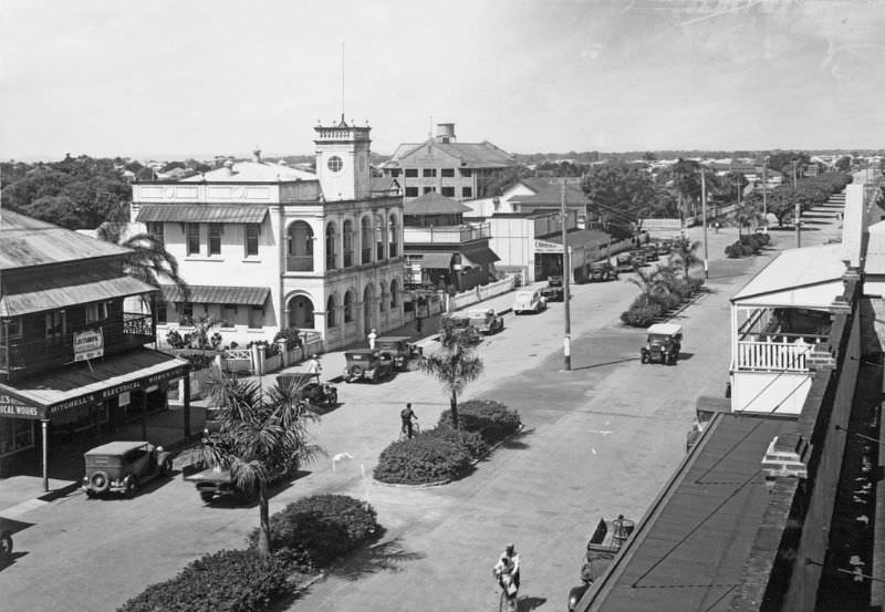
Far north Queensland had its own distinct character. Cairns, a port city surrounded by tropical rainforest and the Great Barrier Reef, had a main commercial strip that reflected a slower, more tropical pace of life. Abbott Street in 1931 shows a town that was modest in scale but well established.
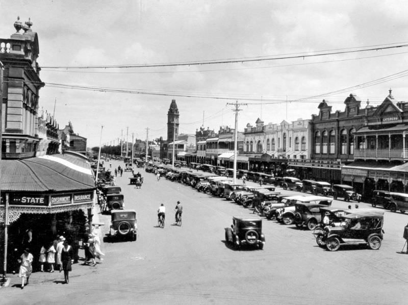
Bundaberg, in the Wide Bay region, was a prosperous agricultural town built largely around sugar cane farming. Bourbong Street was its main commercial road, wide enough to accommodate horse-drawn vehicles and early motor cars side by side.
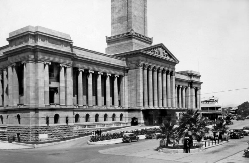
Brisbane City Hall on Adelaide Street was one of the most significant public buildings constructed in Queensland during this era. Completed in 1930, it was the tallest building in Brisbane at the time and stood as a symbol of civic ambition even as the Depression took hold.
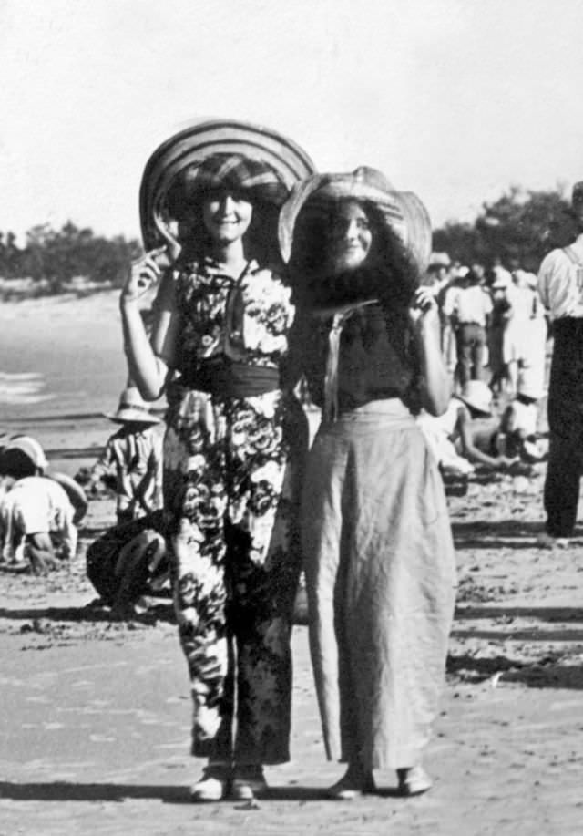
Along the Sunshine Coast, Mooloolaba was still a quiet coastal settlement in 1931. Its beaches were largely undeveloped, attracting mostly locals seeking a straightforward escape from city and town life.
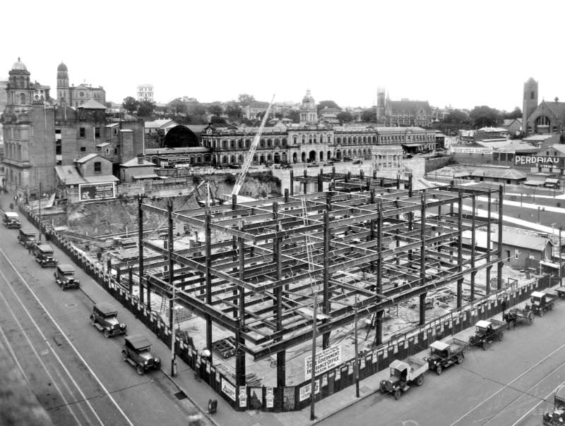
One of Brisbane’s major public works projects of this period was the construction of the State Government Building at Anzac Square. The steel framework seen here in September 1931 was part of the government’s broader effort to create employment and invest in public infrastructure during the Depression.
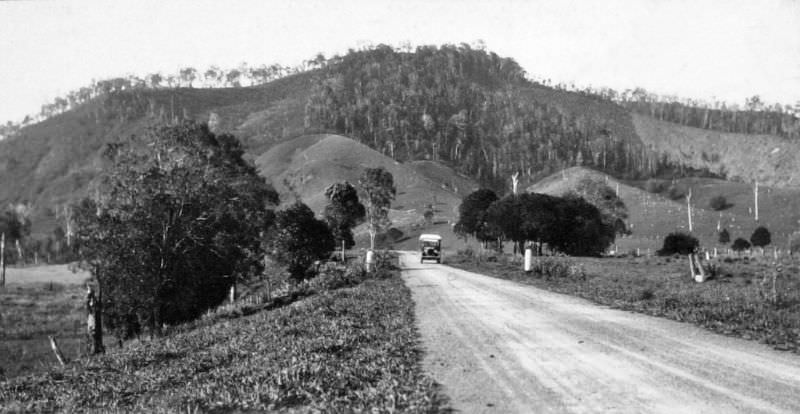
Road infrastructure was also expanding across Queensland in the early 1930s. The Bruce Highway, which runs the length of the state’s coast, passed through the small town of Pomona in the Noosa hinterland. Mount Tuchekoi rises clearly in the background, a distinctive local landmark.
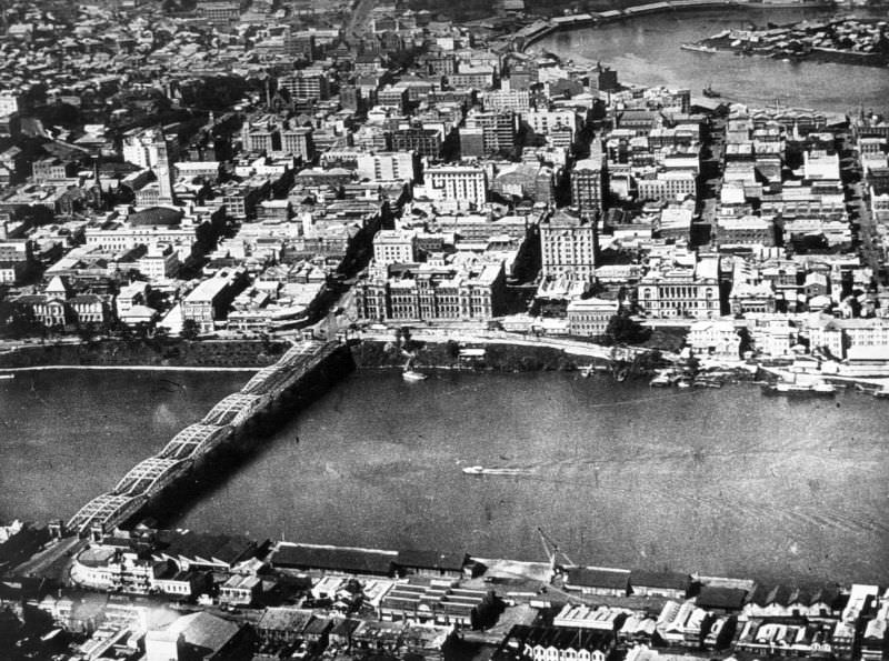
By 1932, Brisbane’s central business district was already a dense urban landscape. The Victoria Bridge connected the CBD to the South Bank, and the Brisbane River remained the city’s most defining geographic feature. This aerial view captures the layout of the city at a time when it was still a relatively compact settlement compared to what it would become.
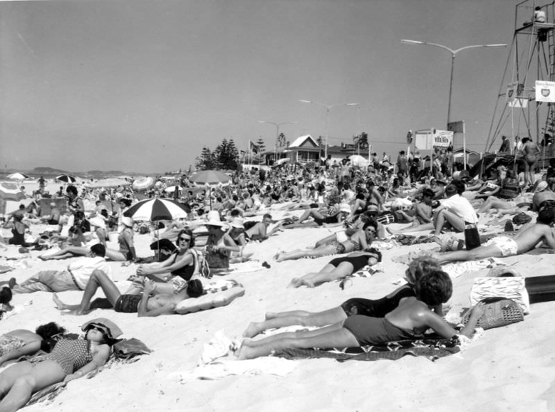
The Gold Coast region, though not yet known by that name, was drawing beachgoers to its shores. Broadbeach in 1932 was open and largely undeveloped, with wide sandy beaches that attracted visitors looking for sun and surf.
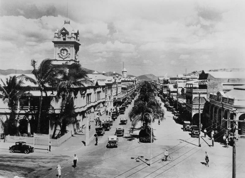
Townsville, in north Queensland, was the region’s major commercial centre. Flinders Street was its main street, flanked by buildings that served the region’s mining, agricultural, and port industries.
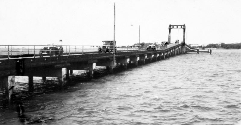
Southport, near the mouth of the Nerang River, was connected to its surroundings by bridges that were essential for local movement. The Jubilee Bridge, photographed here in 1932, was one such link in this coastal community.
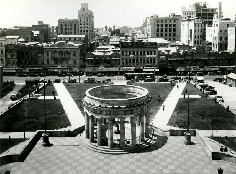
Anzac Square in Brisbane was developed during this period as a formal memorial precinct. The Shrine at its centre on Adelaide Street became a permanent site of remembrance for Queenslanders who served in World War One.
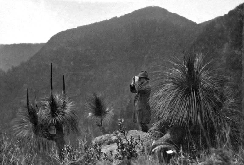
Lamington National Park, gazetted in 1915, offered visitors dramatic subtropical rainforest scenery. Echo Point in the Beaudesert Shire provided sweeping views across forested valleys, and by the 1930s the park was an established destination for nature lovers and bushwalkers.
Townsville’s Flinders Street appears again in 1933, showing the street’s continued role as the commercial spine of north Queensland. The buildings lining it housed banks, retailers, and service businesses that kept the regional economy turning.
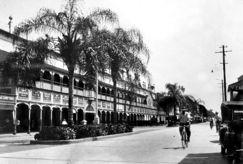
Longreach sits deep in Queensland’s central west, in the heart of the Channel Country. This outback town was a centre for the cattle and wool industries, and its wide streets were built to accommodate the large volume of livestock and machinery that passed through.
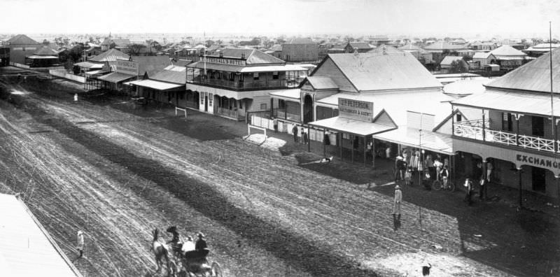
Brisbane’s Windmill Tower on Wickham Terrace is one of the city’s oldest surviving structures, originally built by convicts in the 1820s. By December 1933, the surrounding area had developed significantly, and the view westward toward the William Jolly Bridge showed a city that had grown well beyond its colonial origins.
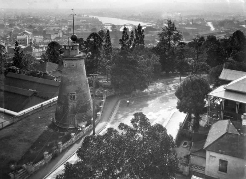
Survey work continued across Brisbane even as the Depression eased. This baseline measurement on Bowen Terrace in June 1934 was part of the ongoing effort to accurately map and plan the growing city’s infrastructure.
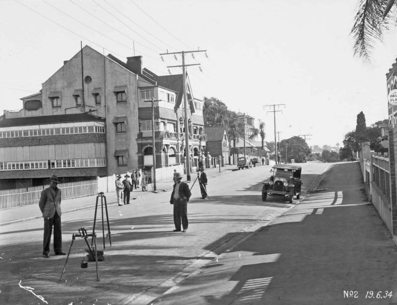
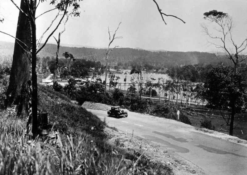
Currumbin, on the southern Gold Coast, was a peaceful coastal area defined by its tidal creek. The view up Currumbin Creek from the Pacific Highway in 1934 shows a largely natural waterway bordered by dense vegetation.
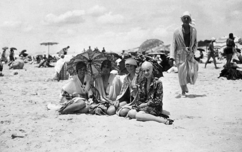
Main Beach at Southport was one of the region’s most popular stretches of coastline. By 1934, it attracted a steady flow of visitors who made the journey south from Brisbane for a day or weekend by the water.
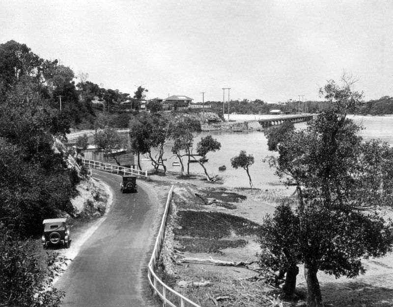
The Pacific Highway was Queensland’s main coastal road link in the 1930s. Where it crossed Tallebudgera Creek near Burleigh Heads, a simple crossing allowed traffic to continue south along the coast.
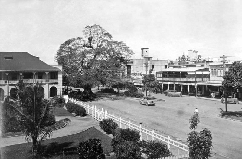
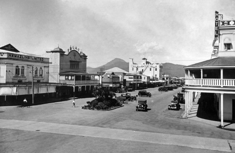
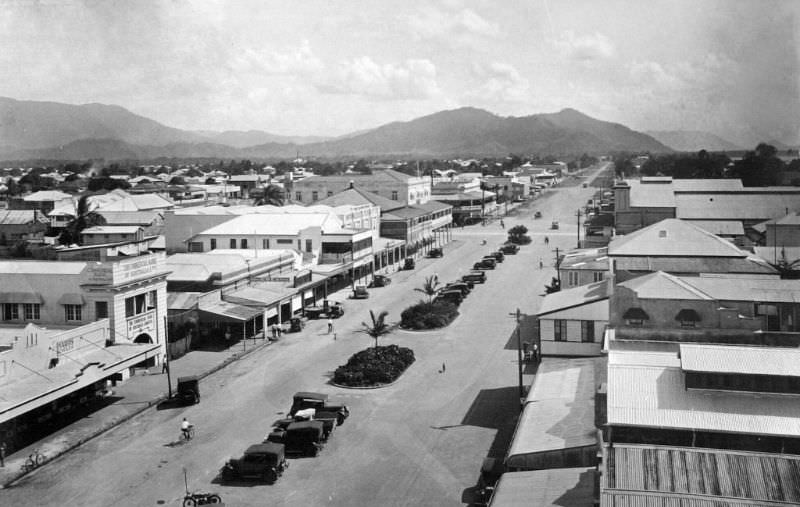
By 1935, Cairns had developed further as a regional centre. Abbott Street, photographed here four years after the 1931 image, shows incremental change — more established storefronts and a streetscape that reflected a town settling into its role as the gateway to far north Queensland.
Lake Street in Cairns ran parallel to the waterfront and was another key commercial road in the town. These two photographs from 1935 show different sections of the street and give a fuller picture of what central Cairns looked like at the time.
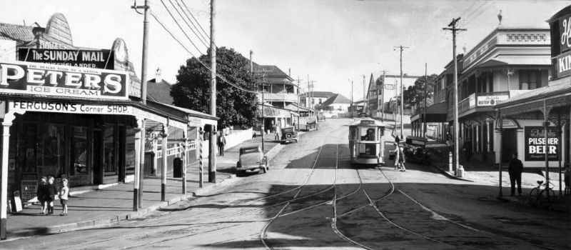
Spring Hill was one of Brisbane’s oldest inner suburbs. Leichhardt Street in 1936 reflects the character of a working-class neighbourhood built up over decades — timber homes, narrow streets, and a streetscape shaped by the city’s Queensland vernacular architecture.
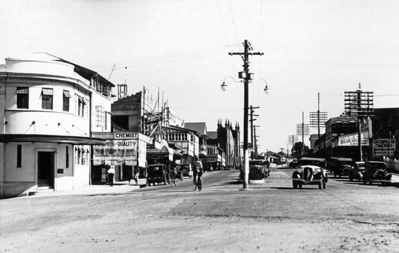
Innisfail, in the wet tropics south of Cairns, was shaped heavily by its sugar industry and by the large Italian and other migrant communities that settled there. Rankin Street in 1936 displays the Art Deco architecture that became a defining feature of the town after cyclone damage prompted widespread rebuilding in the early 1930s.
Mackay, another major sugar town on the central Queensland coast, had its own civic pride. Sydney Street in 1936 featured the former Mackay Town Hall, a prominent building that anchored the town’s commercial centre.
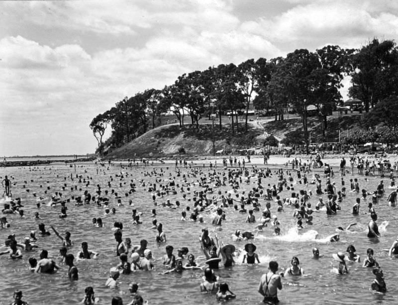
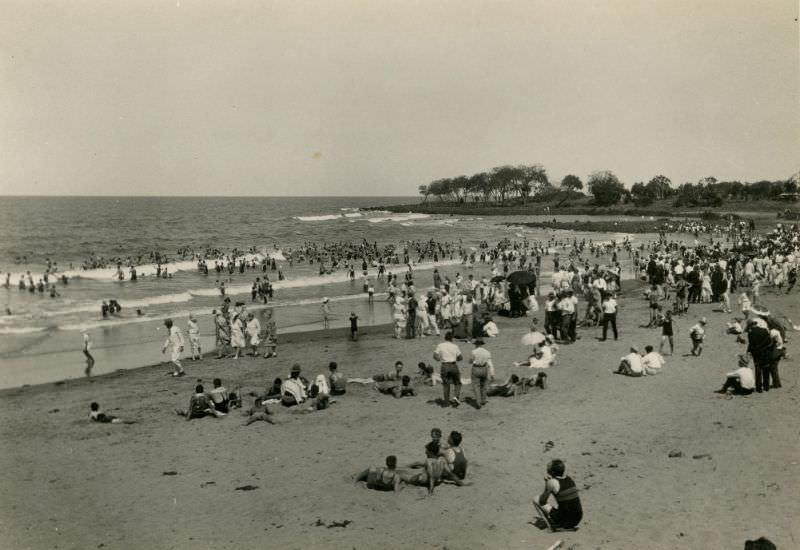
Sandgate, a bayside suburb north of Brisbane, was a popular destination for families looking to escape the city heat. Moora Park provided open space alongside the beach, and December 1937 shows beachgoers making full use of the foreshore on a summer day.
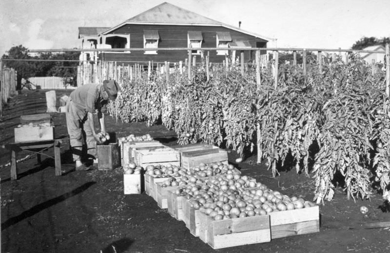
Market gardening was an important industry in Queensland’s coastal areas. Victoria Point, south of Brisbane on Moreton Bay, supported vegetable farms that supplied city markets. Tomato picking here in 1937 was intensive, hands-on work done largely by small family operations.
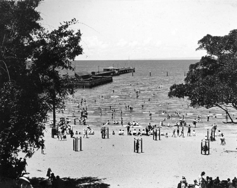
Sandgate’s jetty extended out over the bay and was a gathering point for the local community. The shark-proof enclosure attached to it allowed swimmers to enter the water safely, a practical addition to coastal facilities that reflected Queensland’s ongoing effort to make its beaches accessible year-round.
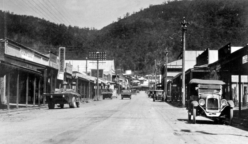
Tully, in the wet tropics, sits in one of the highest-rainfall regions in all of Australia. Its main street in 1938 reflects the town’s practical, working character — built to serve the surrounding sugar and banana farming communities.
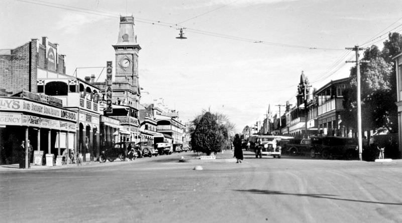
Warwick, on the Darling Downs, was Queensland’s second-oldest town. Palmerin Street in 1938 shows a well-established regional centre with solid brick commercial buildings lining a wide main road typical of inland Queensland towns.
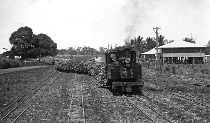
Sugar cane was one of Queensland’s most important industries throughout the 1930s. Small rail networks were built specifically to move harvested cane from the fields to mills. This cane train at Kalamia near Ayr, in the Burdekin region, was part of a system that made Queensland one of the world’s major sugar producers.
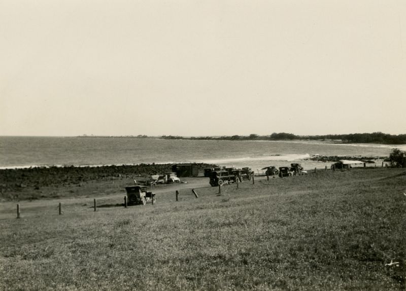
Leisure and recreation were part of Queensland life even during the decade’s hardest years. The Bargara Golf Club House near Bundaberg was a gathering place for the local community, set against the backdrop of the coastal landscape that defined the region.
Main Beach at Southport drew both locals and tourists throughout the decade. Sunbathing and surfing were already established pastimes by the 1930s, and scenes like this one show the beach culture that would eventually define the Gold Coast.
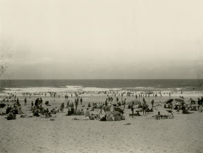
Nielsen Park Beach offered another coastal retreat for Queenslanders during this period. The beach was a straightforward, uncrowded strip of sand typical of the quieter coastal spots that dotted the state’s long shoreline.
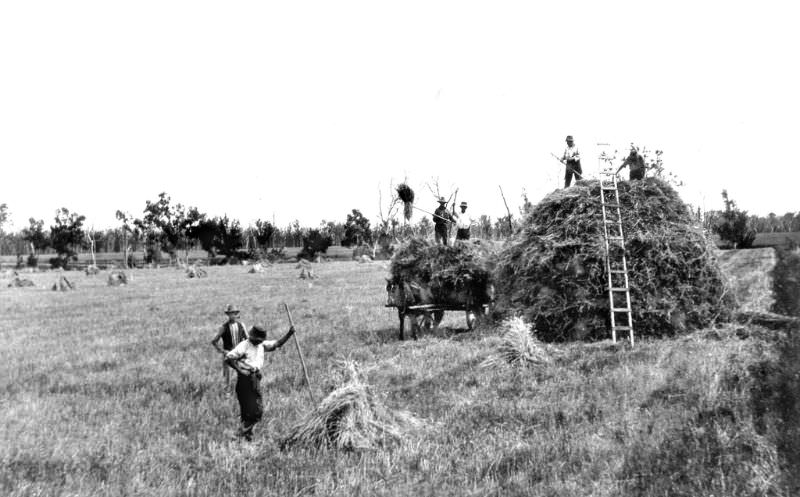
Back on the Darling Downs, grain farming operations were a defining feature of the landscape. Stack-building at Clifton involved gathering and piling harvested grain into large stacks for storage — a labour-intensive process that required teams of workers and reflected the agricultural scale of the region.
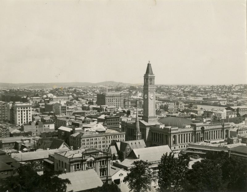
Brisbane’s skyline as seen from near Roma Street in the 1930s shows a city that was growing upward and outward. The Depression had slowed construction, but the buildings already standing made clear that Queensland’s capital was moving well beyond its colonial-era roots and into the modern age.





With the Jarrod Bleije as the face of the current Qld LNP Govt it will return to this era quite quickly. Seems to have more say in what’s happening than Crusifullofshit does.
With the Jarrod Bleije as the face of the current Qld LNP Govt it will return to this era quite quickly. Seems to have more say in what’s happening than Crusifullofshit does.