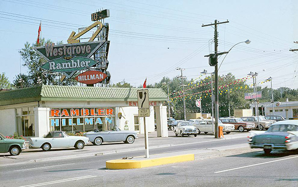
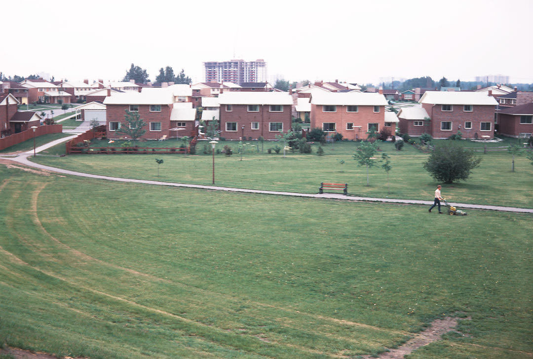
Toronto in the 1960s was a city in the middle of a major shift. New immigrants were arriving steadily, drawn by jobs and opportunity. Entire neighborhoods were being built from scratch. Roads that had been quiet for decades were now clogged with cars, streetcars, and the noise of construction. The city was growing fast, and every corner showed it.
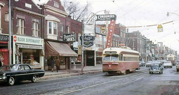
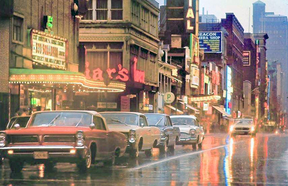
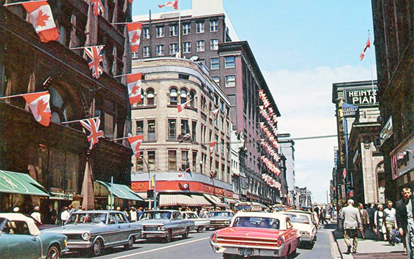
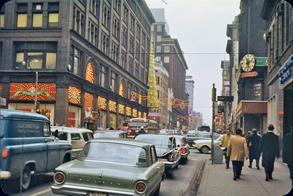
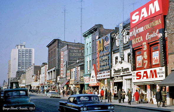
Streets like Yonge and Bloor were packed with hand-painted signs, colorful awnings, and giant storefront boards stacked one on top of another. Streetcars rumbled past deli counters, movie houses, and newspaper stands selling the Star, the Globe, and the Telly. There was a raw energy to the place — unpolished and unplanned, but alive in a way that is hard to recreate.

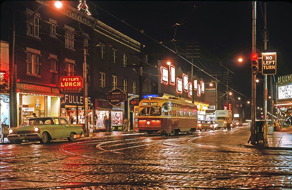
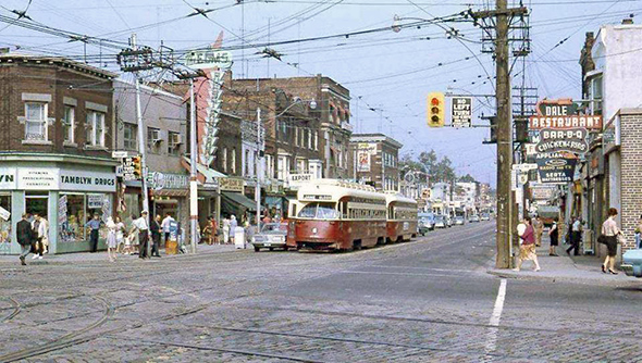
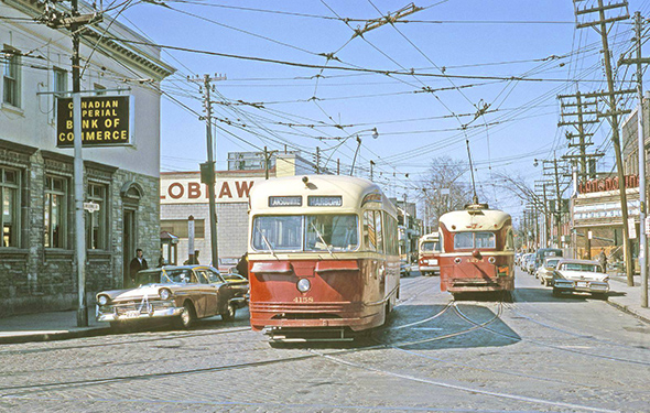
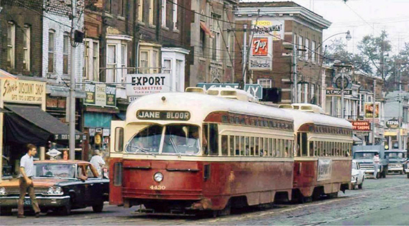
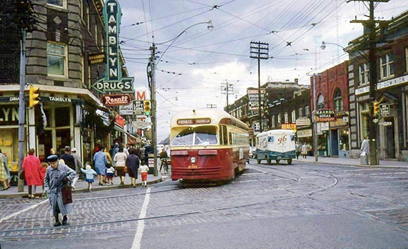
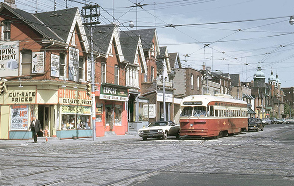
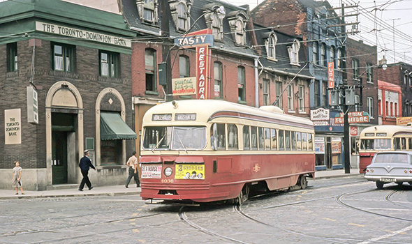
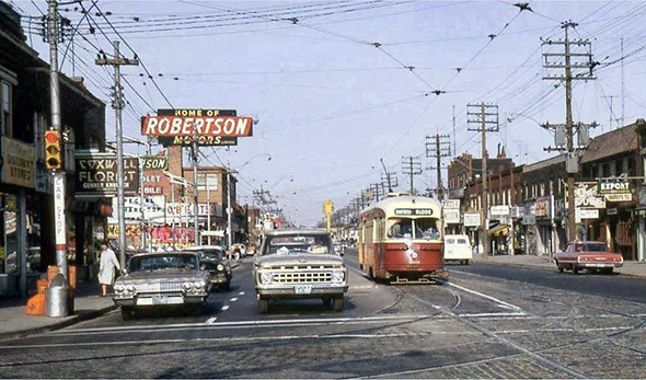
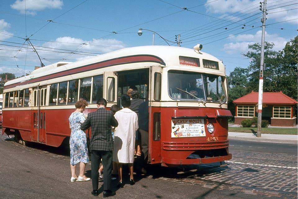
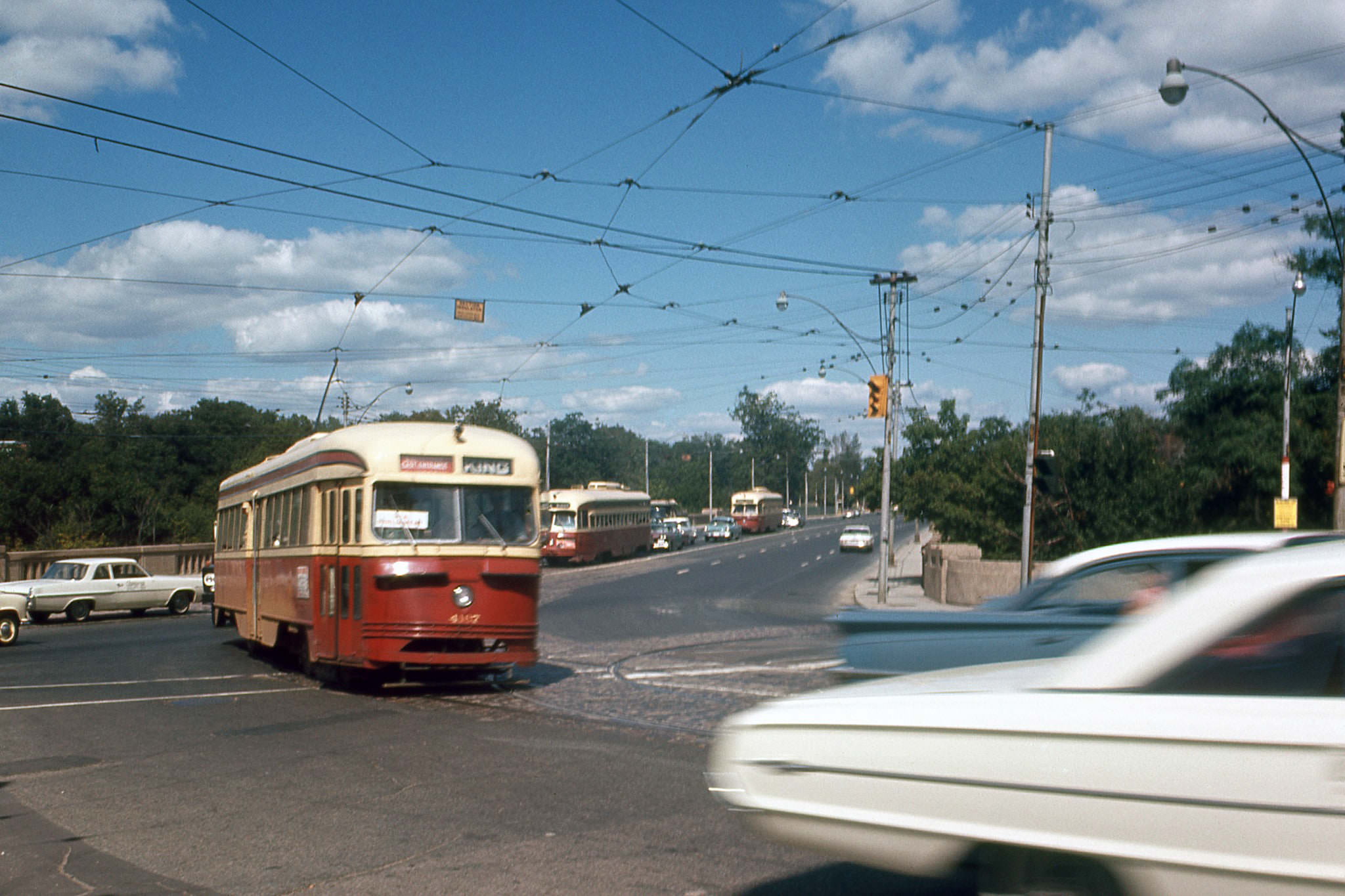
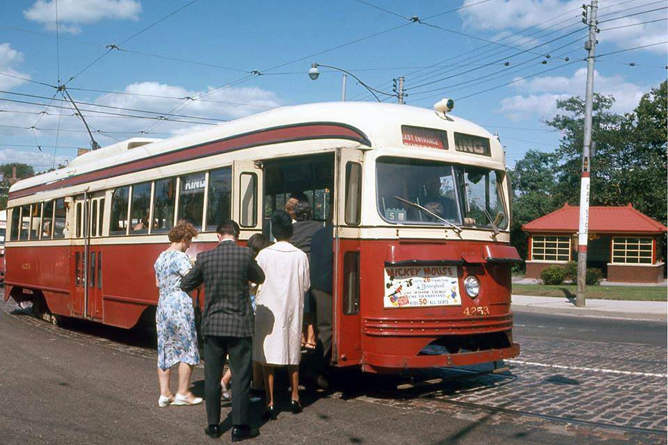
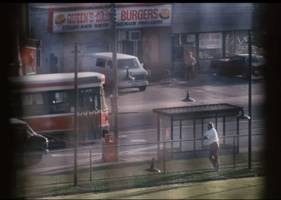
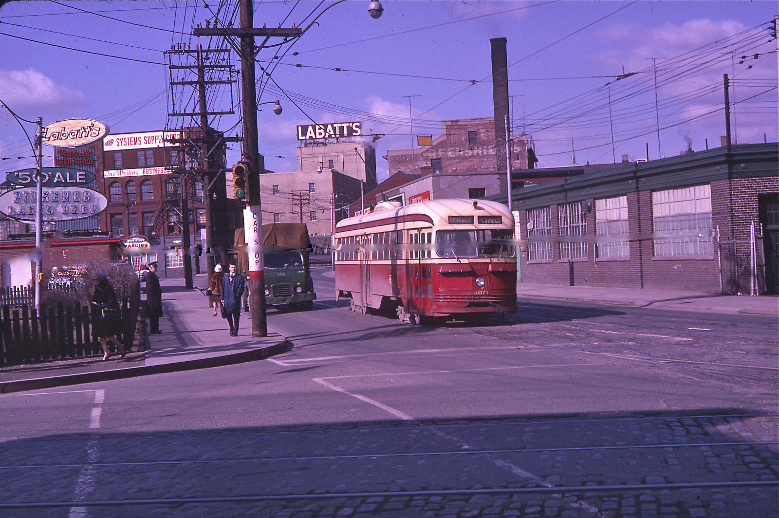
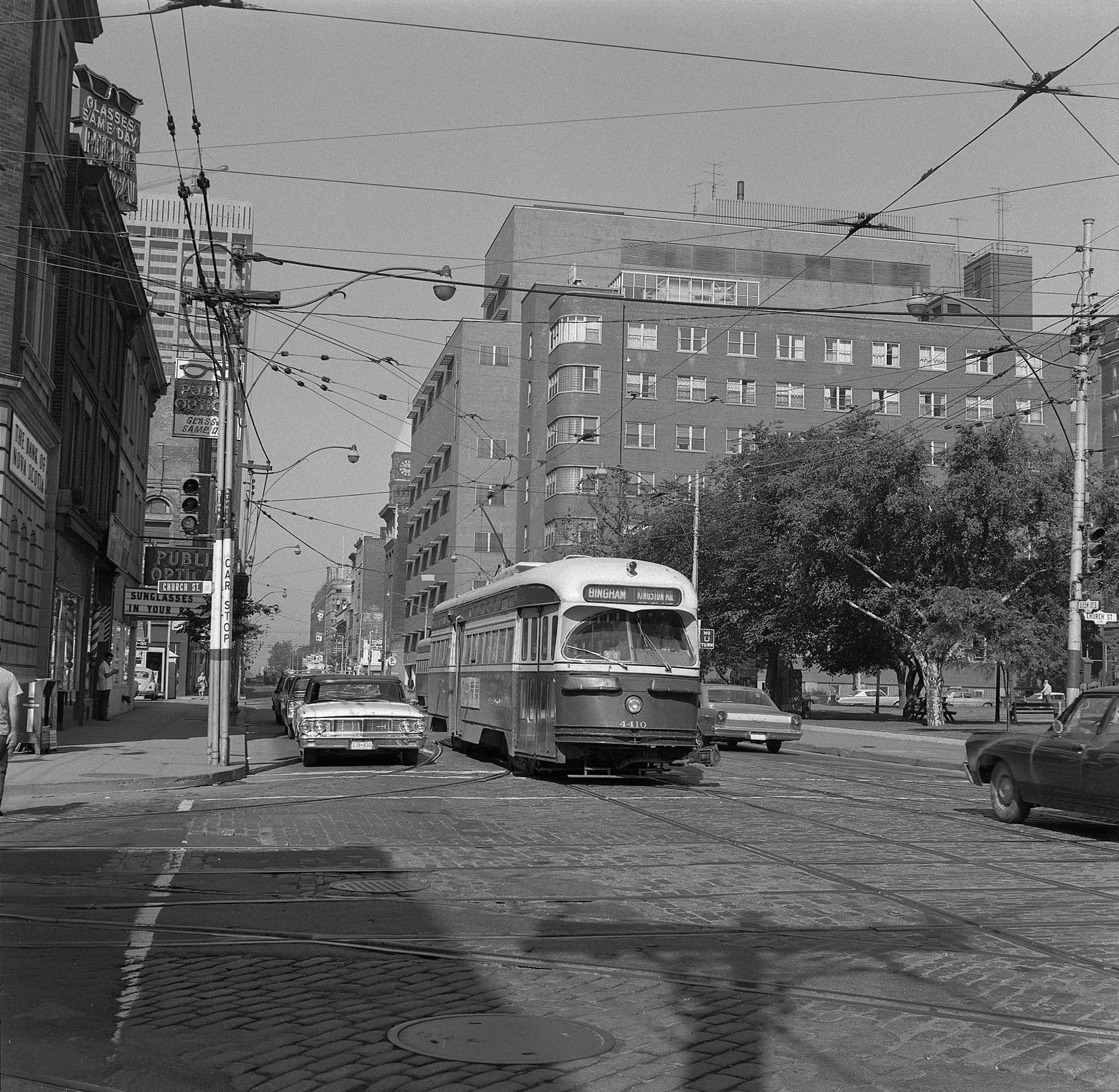
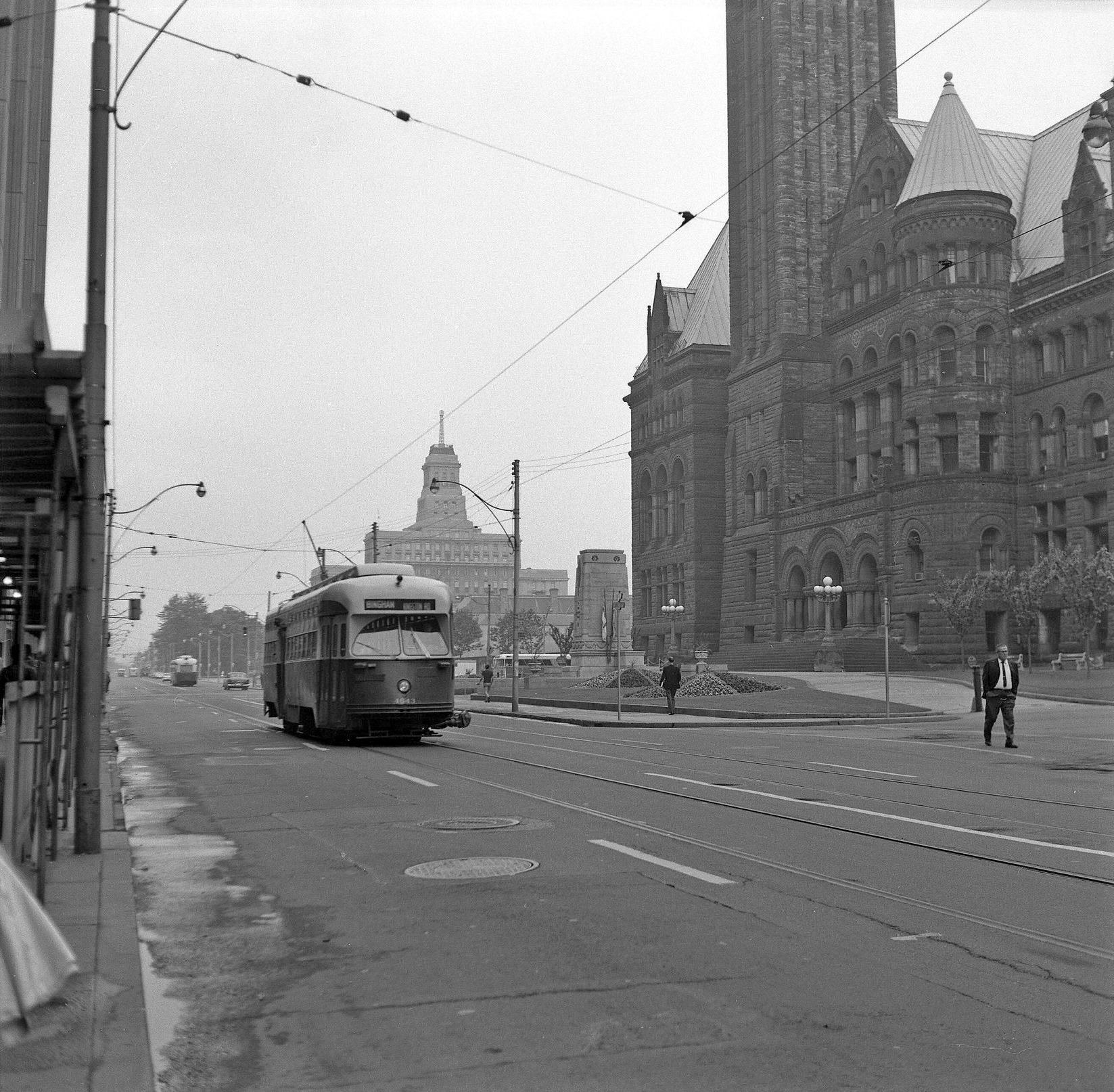
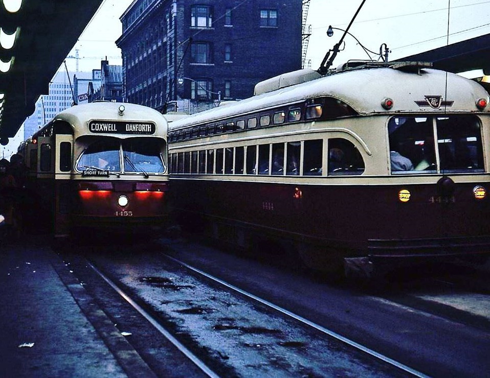
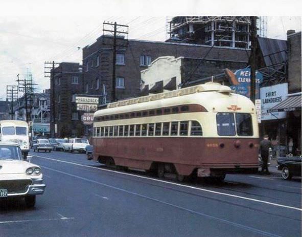
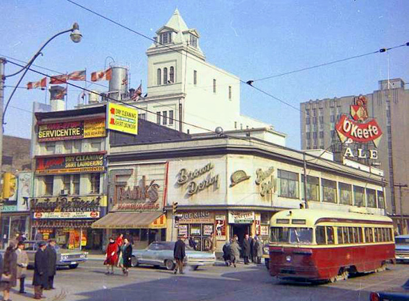
The streetcar was the backbone of everyday movement in Toronto. Lines ran along Bloor, Queen, Kingston Road, and Parliament Street, connecting working-class neighborhoods to the downtown core. Riders transferred between lines at busy intersections, often on open platforms in all weather. The TTC’s fleet of red streetcars was a fixture of the city’s visual identity throughout the decade.

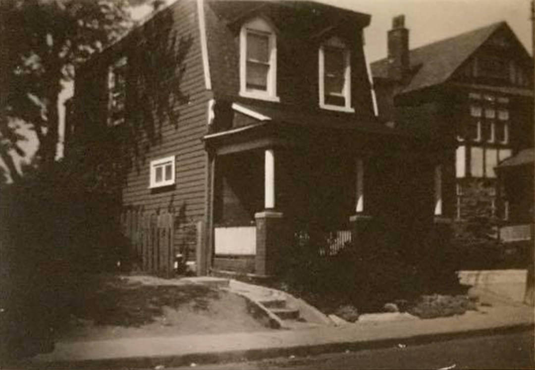
Apartment towers were rising across the city during this period. High-rise residential buildings offered a modern alternative to the older two-storey homes that lined streets like Walmer Road and Madison Avenue. For many families, a unit in a new tower represented a step up — modern appliances, a building superintendent, and a mailing address that felt current.


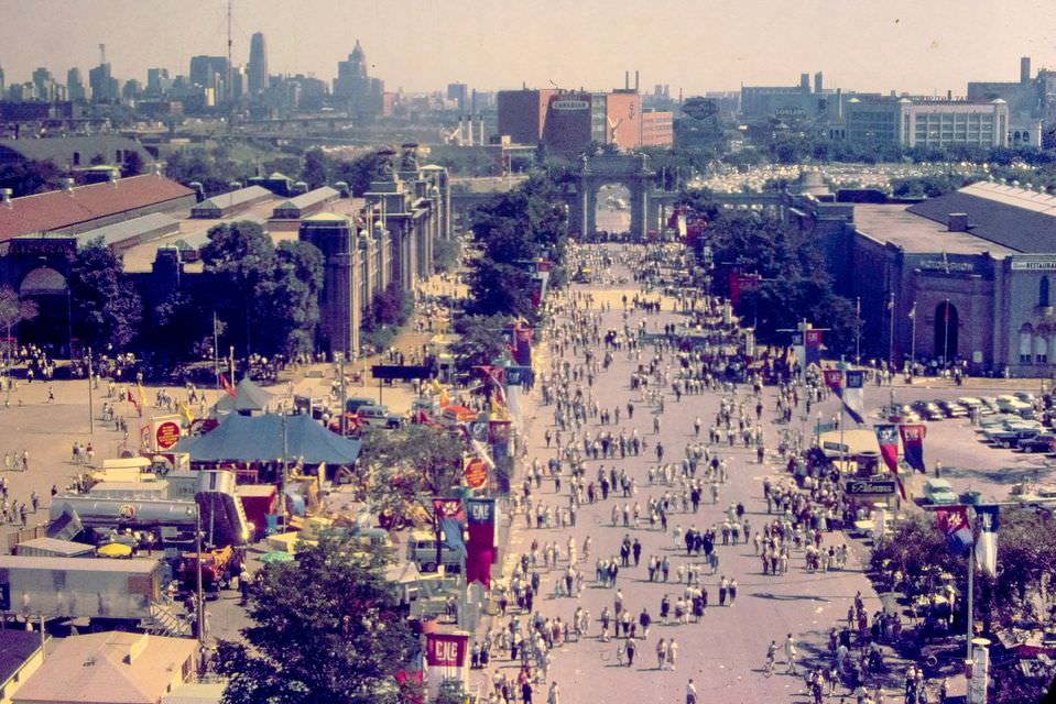
Each summer, the Canadian National Exhibition drew enormous crowds to the lakefront grounds west of downtown. Known simply as “the Ex,” it featured midway rides, agricultural displays, air shows, and food vendors. The fairgrounds sat along the shore of Lake Ontario and were anchored by landmarks like the Princes’ Gates and the bandshell at Exhibition Park. For many Torontonians, the CNE marked the unofficial end of summer.


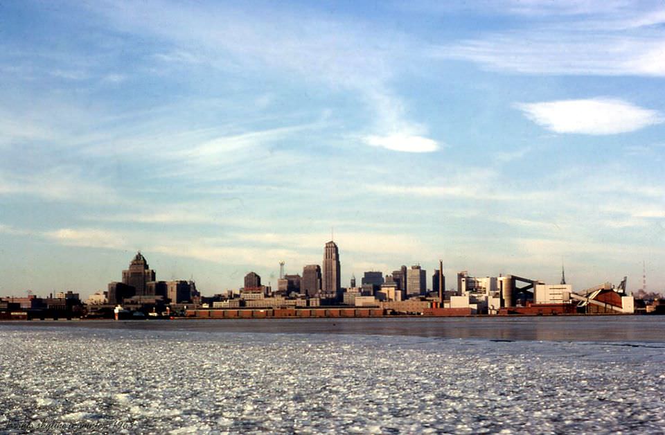
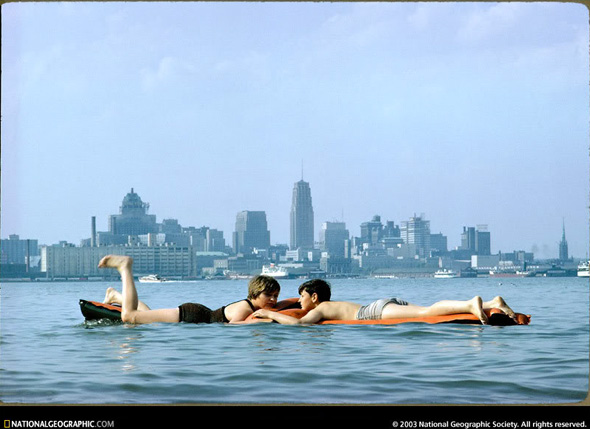
Cherry Beach sat along the eastern waterfront, offering a stretch of sand within reach of the city. In the early 1960s, the Toronto skyline visible from the water was modest — a handful of towers and church steeples, nothing like the dense wall of glass and steel that would emerge over the following decades. Swimmers in 1963 looked back at a city still finding its height.

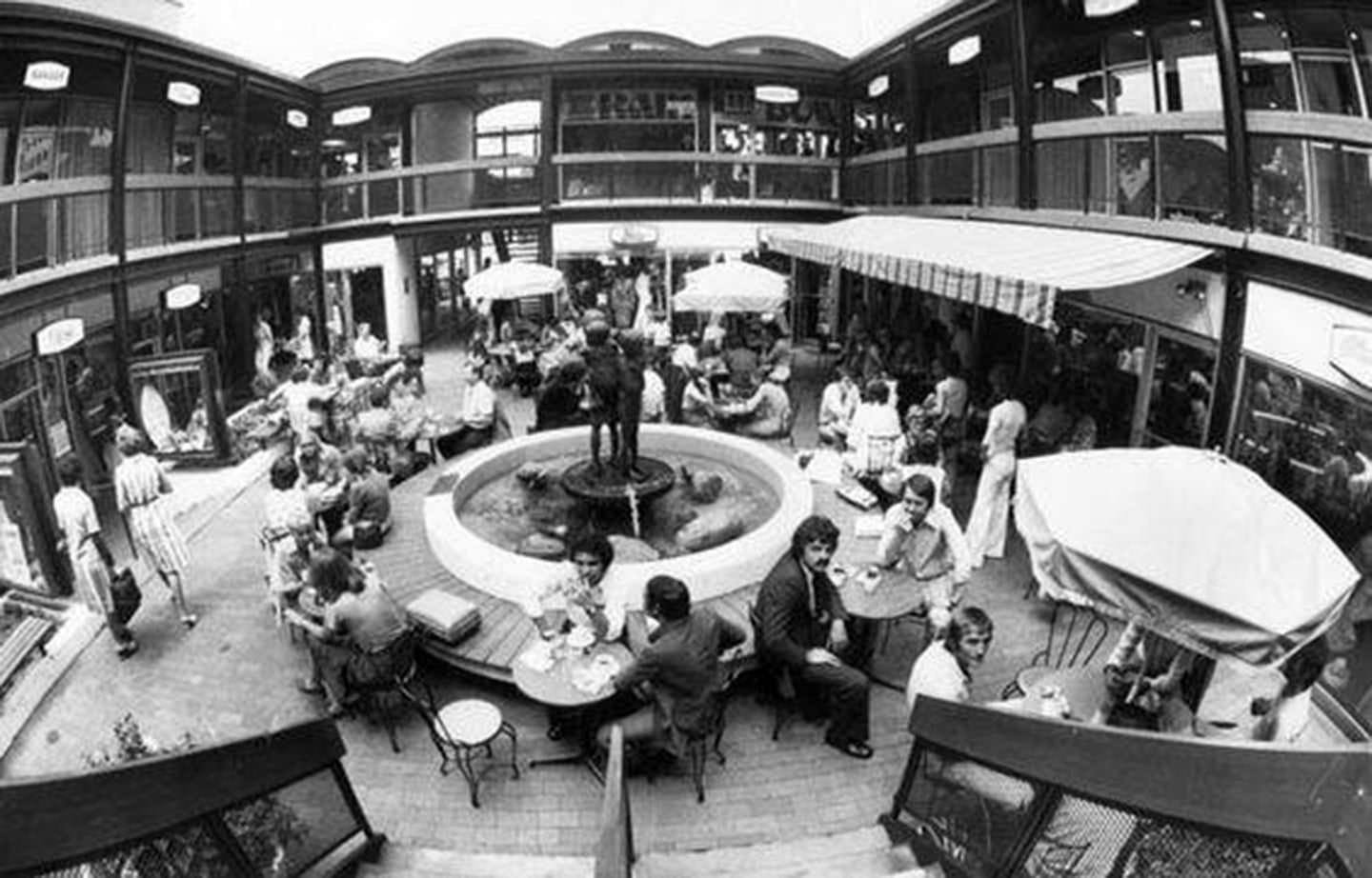
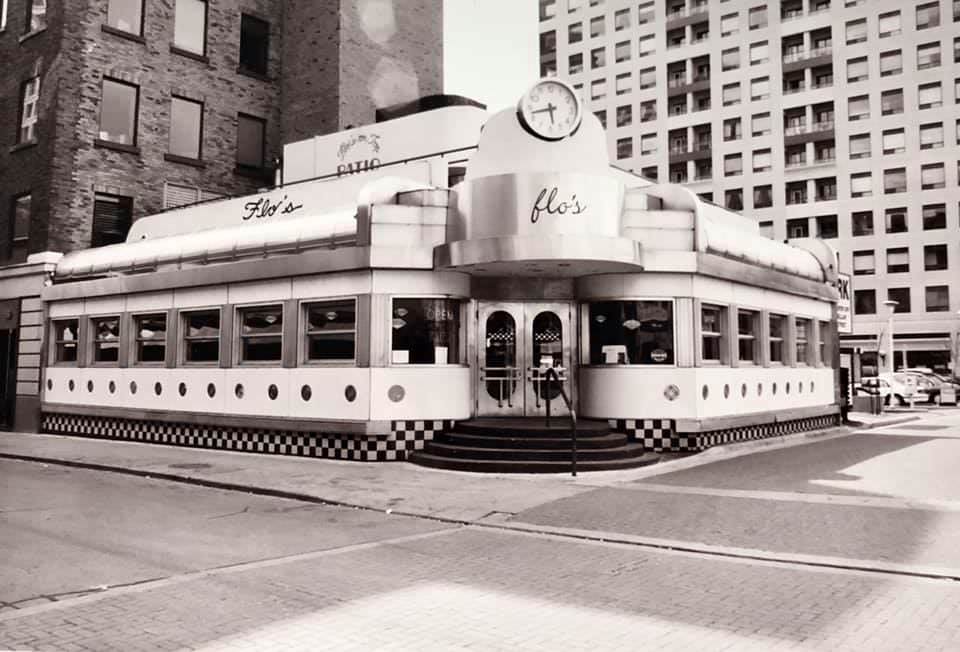
Bloor Street was transforming into a more upscale commercial corridor during the 1960s. The Colonnade, a mixed-use development on Bloor, combined retail shops, offices, and residential units in a single building — an unusual concept for Toronto at the time. Nearby, Lothian Mews offered a hidden courtyard retail space tucked behind the University Theatre, accessible through an archway. Flo’s in Yorkville served the growing counterculture crowd that had made the neighborhood its home.


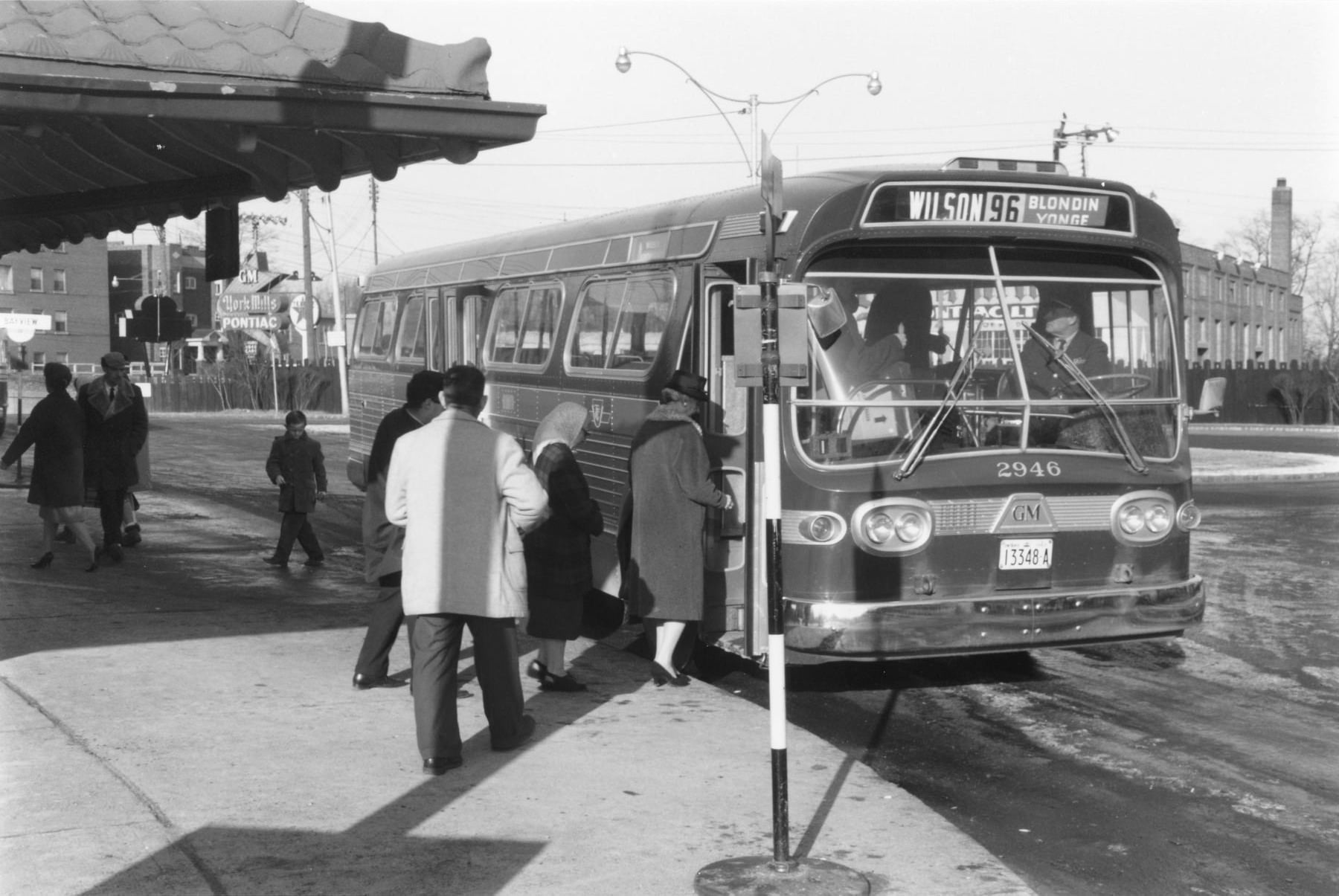
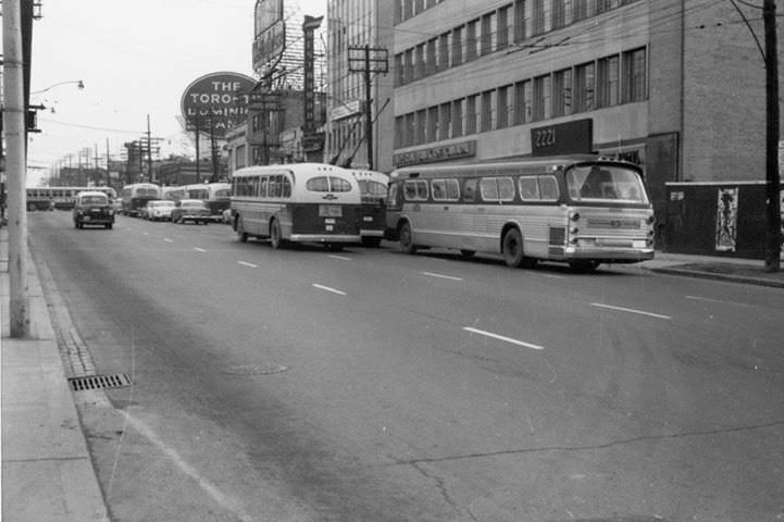
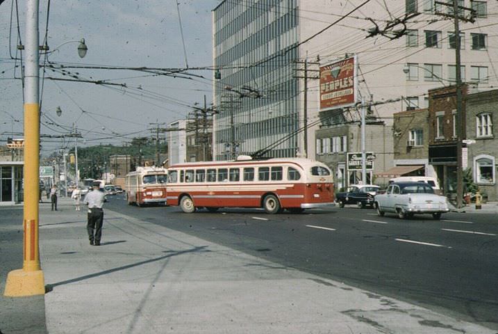
Eglinton Avenue West was one of the city’s main mid-town arteries. Along its length sat grocery stores, barbershops, pharmacies, and diners serving the residential streets that branched off on either side. The Nortown area along Eglinton ran trolley buses through the decade, a mode of transport that used overhead electric wires without rails. In 1964, those trolleys were still operating, though debate about their future was ongoing.


The Forest Hill neighborhood sat in the northwest of the old city, known for its large homes and tree-lined streets. The local Dominion grocery store served the area’s residents with the same reliability as those in far less affluent parts of town. A few blocks away, the streets of Forest Hill still had the quiet, settled feel of an older Toronto — one that the bulldozers and cranes of the development boom had not yet reached.


The Gardiner Expressway was one of the decade’s defining infrastructure projects. The elevated highway ran along the waterfront, cutting the city off from the lake and reshaping the way traffic flowed through the south end. At the Dufferin Street interchange, the concrete structure loomed over the older streets below. It was built for cars, and the city — at that moment in history — built everything for cars.


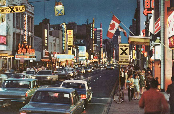
Movie houses lined the commercial strips of the city, from the Hollywood Cinema to the large first-run theatres on Yonge Street. Marquee signs with changeable letters advertised the week’s features, and a Saturday matinee was a standard outing for children all over Toronto. Along Yonge Street near Gerrard and Dundas, the concentration of theatres, record shops, and restaurants made for a stretch of street life that felt genuinely electric on a Friday night.


The Toronto harbour was active year-round. In winter, an icebreaker ferry worked to keep the crossing to the Toronto Islands open. In warmer months, passenger ferries carried families across to the Island’s beaches, picnic grounds, and lagoons. The Island was a place apart — just minutes from the downtown financial district, but quiet enough to feel like a different world. Each spring, a traditional blessing of the boats ceremony marked the start of the boating season at the Island docks.


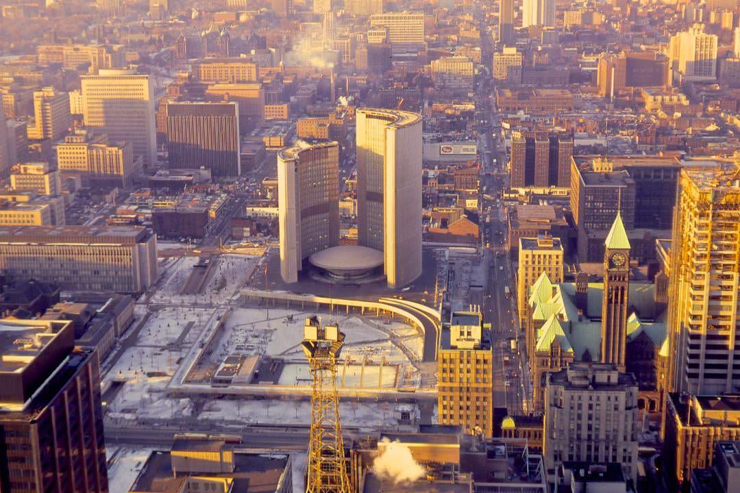
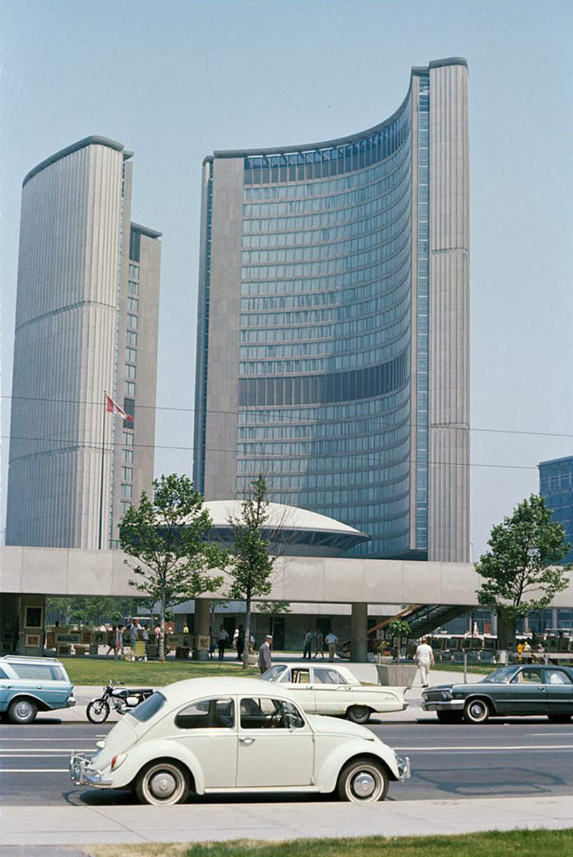
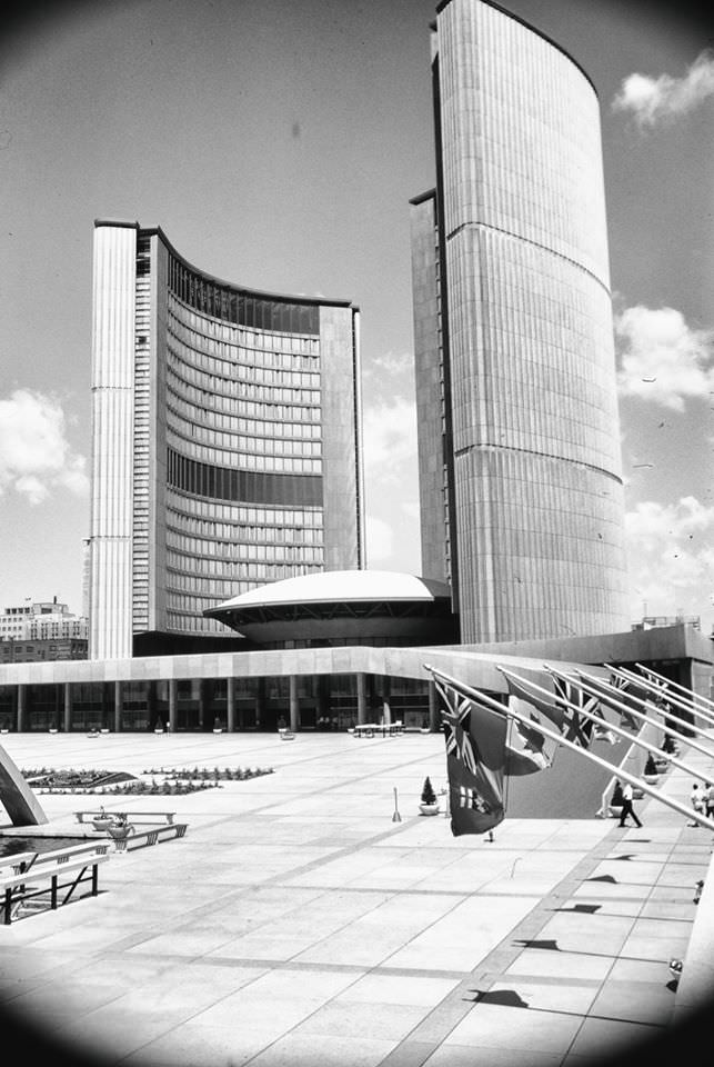
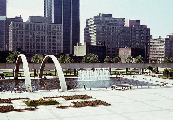
The new City Hall opened in 1965 and immediately became the most talked-about building in Toronto. Designed by Finnish architect Viljo Revell, its two curved towers flanking a circular council chamber were unlike anything else in the city. Nathan Phillips Square, the open plaza in front of it, became a gathering place for art sales, protests, and public events almost from the day it opened. A Kodachrome photograph from July 1966 captures the building bathed in summer light — already a landmark, barely a year old.


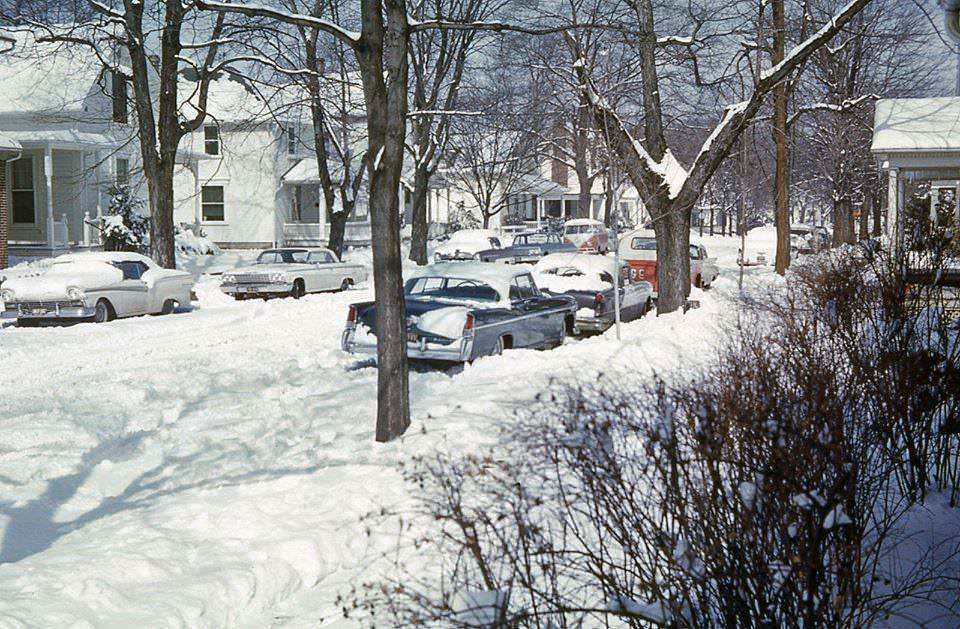
Winter in Toronto was serious. Snow removal crews worked the streets with shovels and heavy equipment, clearing streetcar tracks and sidewalks after each storm. The city’s winters regularly buried parked cars and piled snow high along the curbs of streets from Etobicoke to Scarborough. The skyline in winter took on a stark quality — bare trees, grey sky, and the faint outline of towers through the cold haze over the lake.


The TTC subway system was a point of genuine civic pride. The Bloor-Danforth line was under construction and extension through much of the decade, with stations like Wellesley serving the downtown core. Subway cars were clean, regularly maintained, and on a fixed schedule. The interchange at Bloor and Yonge was the busiest point in the whole network, where riders transferred between the north-south Yonge line and the east-west Bloor-Danforth line.


Winter scenes from across the city show just how much snow Toronto regularly dealt with. From the suburbs of Etobicoke to the streets south of Bloor, the city went quiet under heavy snowfall and then roared back to life as crews cleared the roads. The skyline in winter, photographed from the Island or from Cliffside Drive in Scarborough, showed a city that was still low to the ground — a profile that would change dramatically over the decades that followed.


The blessing of the boats at Toronto Island was a yearly tradition that drew crowds of onlookers to the docks. Boats of all sizes lined up for the ceremony, with community members and clergy gathered at the water’s edge. The photos from this event are among the most intimate in the collection — people in their everyday clothes, standing close together, the city skyline faint in the background across the water.


Street scenes from across the city’s central neighborhoods capture the texture of daily life. A vendor selling hot chestnuts on a cold afternoon. Pedestrians crossing at Yonge and Dundas beneath a wall of competing signs. A row of parked cars outside a diner on Gerrard Street. These images were not taken to document history — they were snapshots of ordinary days. That is exactly what makes them valuable now.


University Avenue was among the most formal-looking streets in the city. Wide, divided, and lined with government and institutional buildings, it stretched from Queen Street north toward the provincial legislature at Queen’s Park. The Parliament buildings at Queen’s Park sat at the top of this corridor, their red sandstone facade a deliberate contrast to the glass and concrete buildings going up all around them.


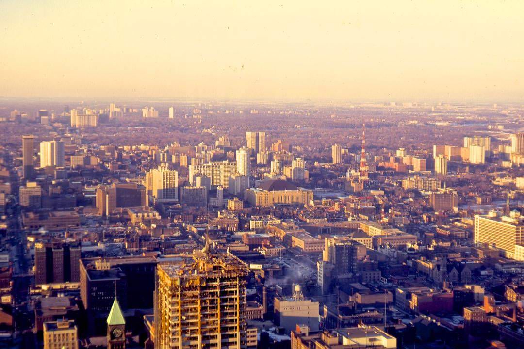
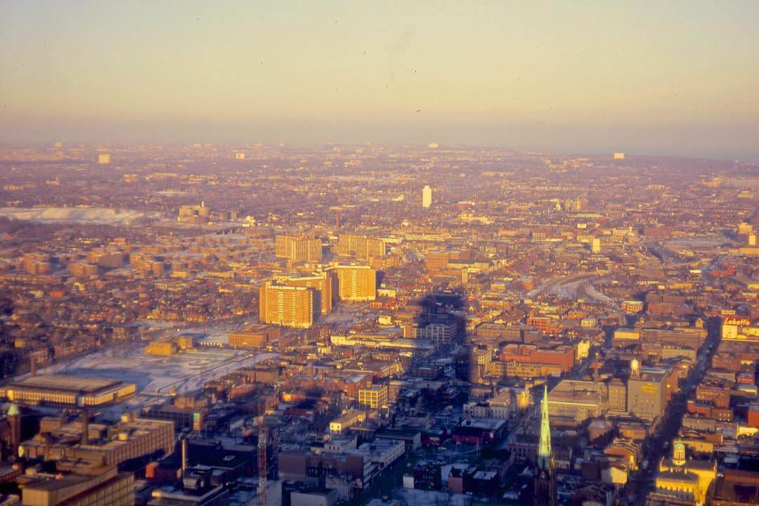
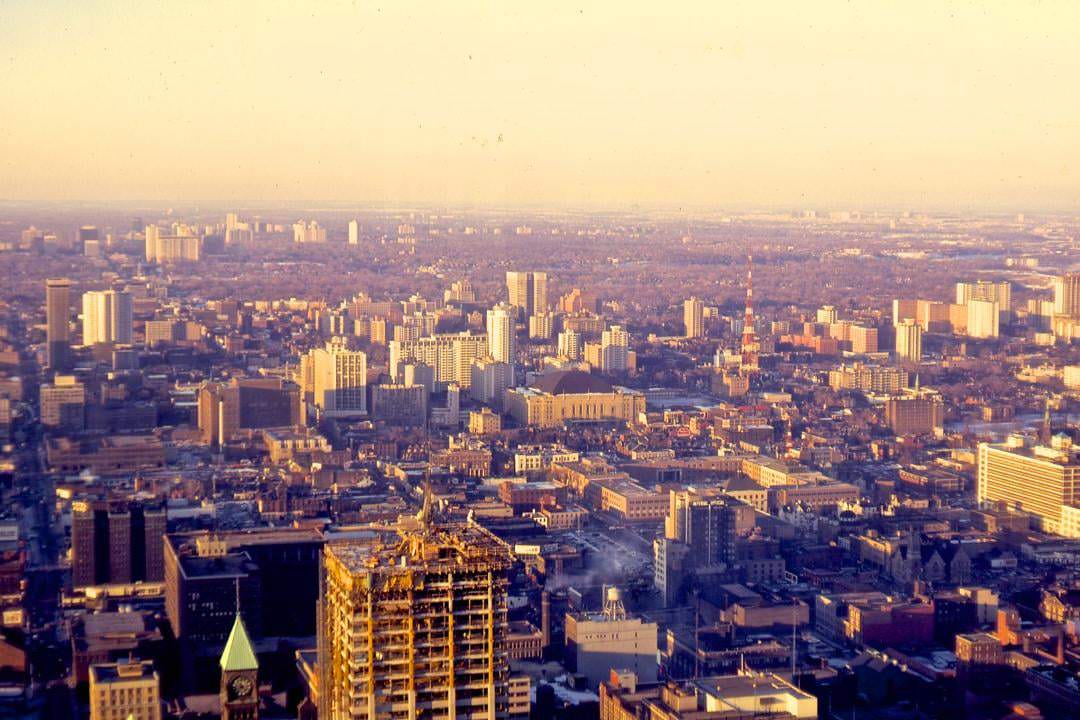
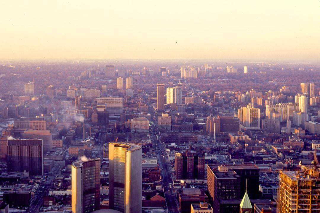
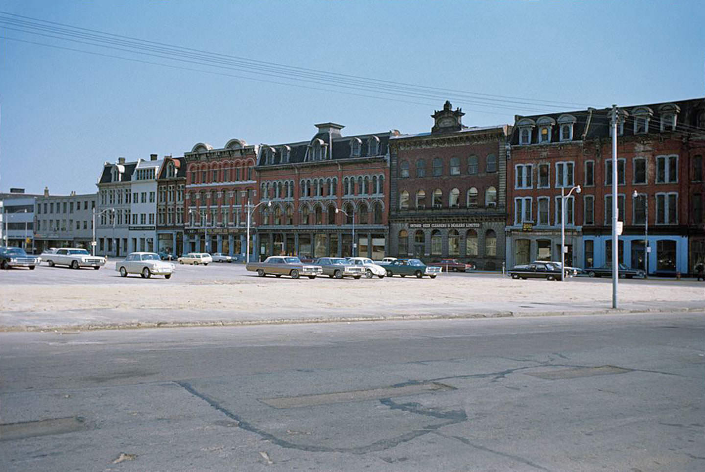
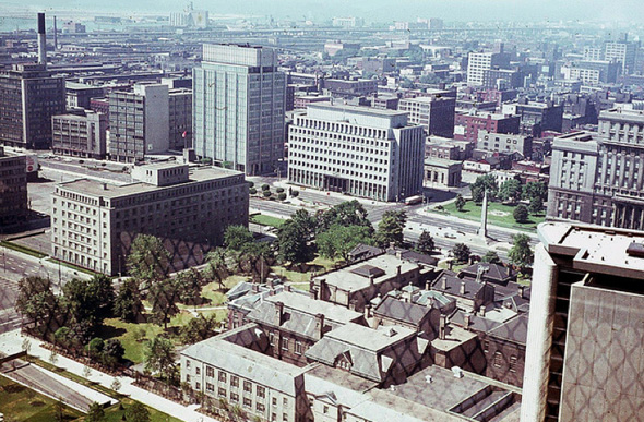
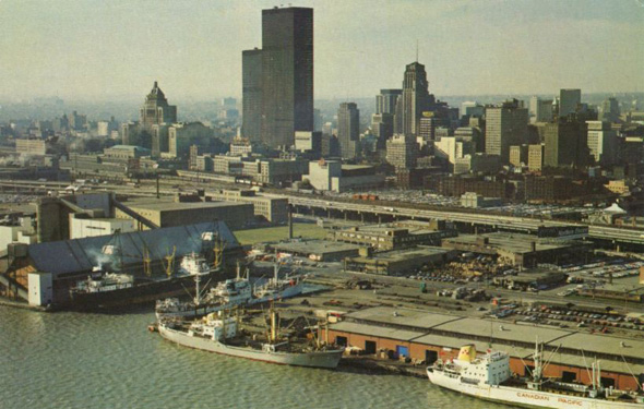
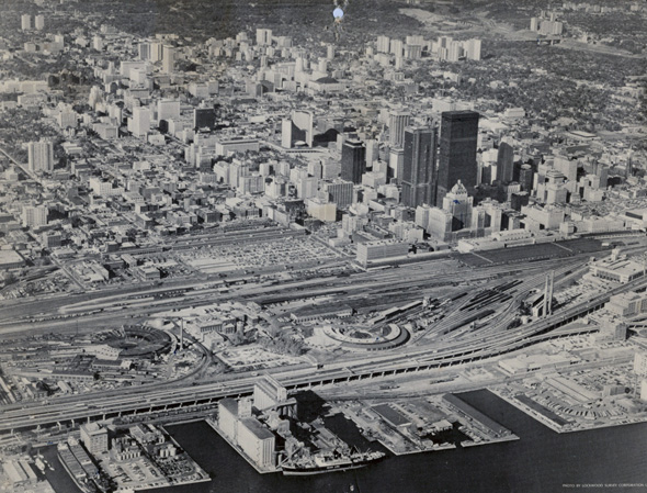
Views from elevated vantage points — from the CIBC building, from City Hall’s observation deck, and from aerial photographs — show how dramatically the city was changing block by block. Parking lots had replaced demolished 19th-century buildings on Front Street East, leaving open gaps in the streetscape near Scott and Sherbourne. One of those lots later became Berczy Park. From above, the TD Centre’s sleek black towers rose in stark contrast to everything around them, photographed by Dan Ward in 1968.


Yonge Street was the city’s central spine, running from the lakefront north through the downtown core and beyond. At Yonge and Bloor, shoppers, commuters, and teenagers converged at one of the busiest intersections in the country. At Yonge and Dundas, the Brown Derby restaurant anchored the northeast corner. Record stores, clothing shops, and lunch counters filled the blocks between. The street was loud, commercial, and constantly moving.


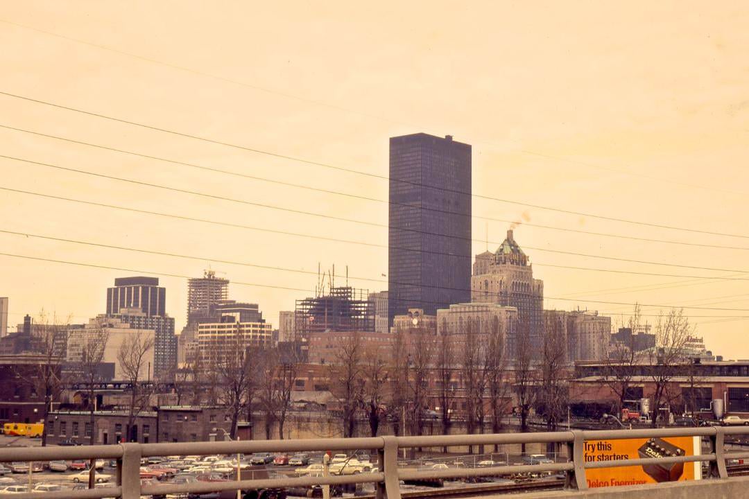
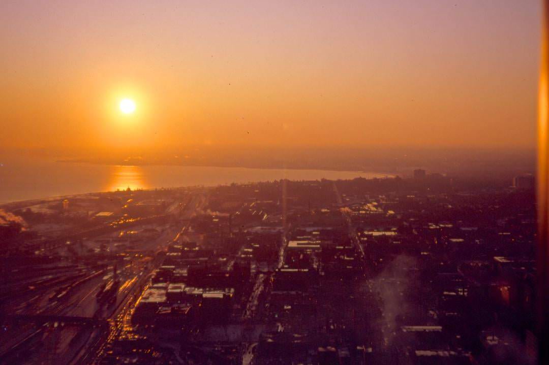
The TD Centre was completed in phases beginning in 1967. Designed by Ludwig Mies van der Rohe and John B. Parkin Associates, the complex introduced an uncompromising modernist aesthetic to the Financial District. Its black steel and glass towers were unlike anything Toronto had built before. Aerial views looking northeast, east, west, and north from the same era show the city in the process of reinvention — older brick buildings still standing on most blocks, while the new towers claimed the skyline.
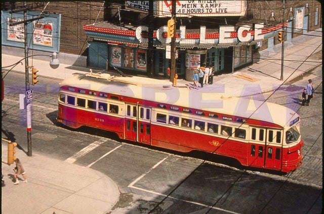
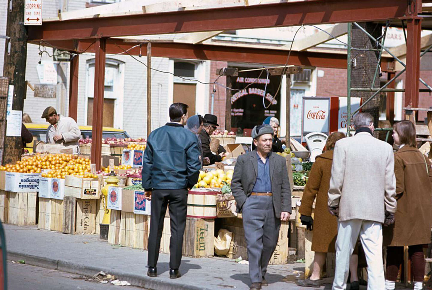
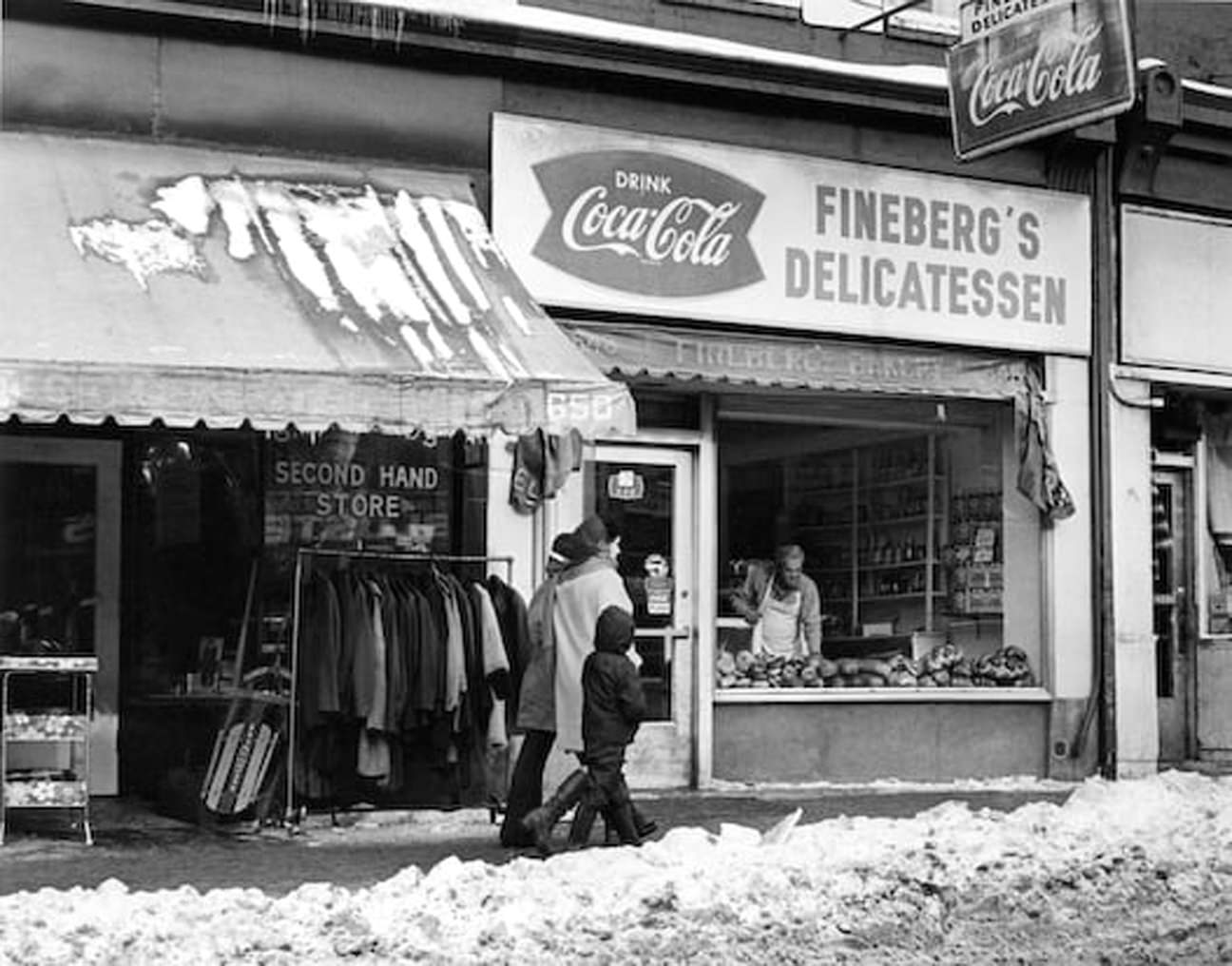
Neighborhoods outside the downtown core had their own distinct character. The northwest corner of College and Dovercourt, photographed in 1960, shows the type of corner store and low-rise commercial block that defined dozens of intersections across the old city. Kensington Market, captured in March 1967, was already a dense, multilingual hub of butchers, fish stalls, and produce stands serving Toronto’s growing immigrant communities. On Queen Street West, Fineberg’s Delicatessen operated at 648 Queen, with the family living in the apartment directly above the store.
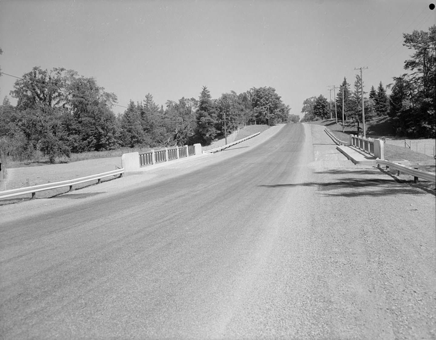
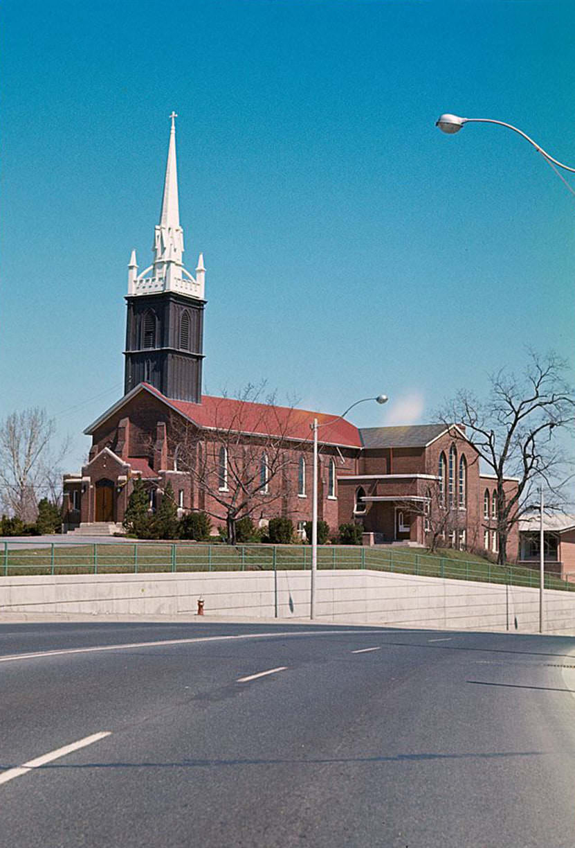
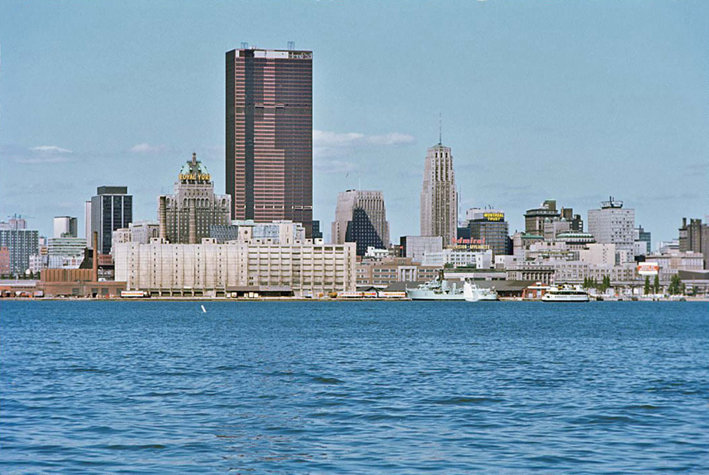
St. George’s On-The-Hill Anglican Church in Etobicoke stood as one of the area’s oldest landmarks. Etobicoke itself was rapidly suburbanizing in the early 1960s, with new subdivisions filling in around older rural roads and the occasional historic structure. The view from the Toronto Island in September 1966 shows a skyline that was already taller than it had been just five years earlier, with cranes still active over several construction sites along the waterfront.
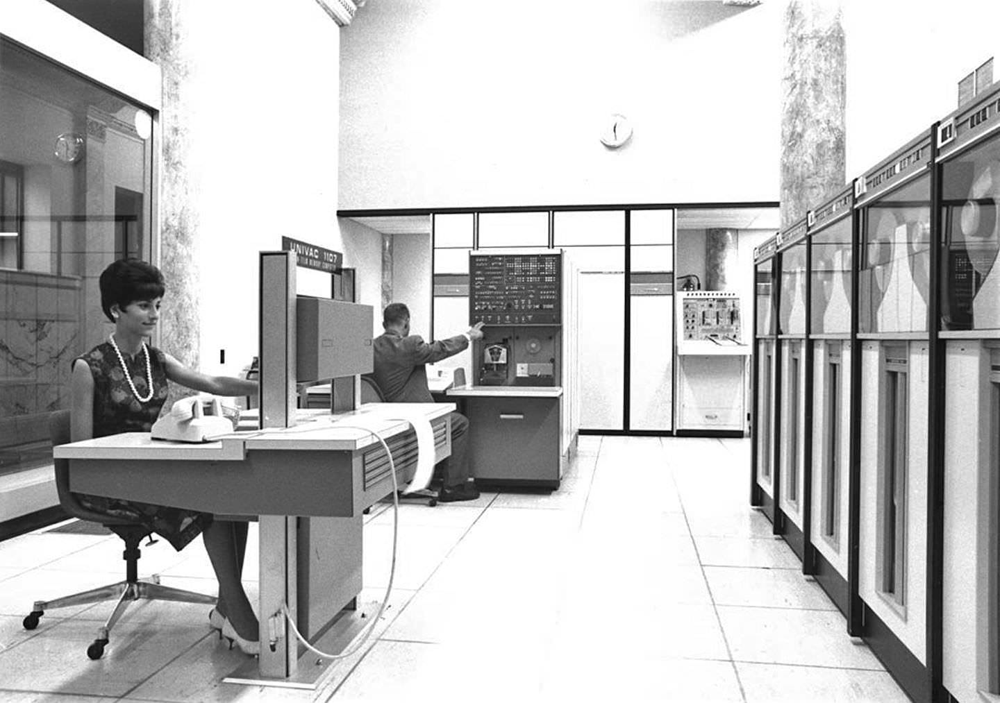
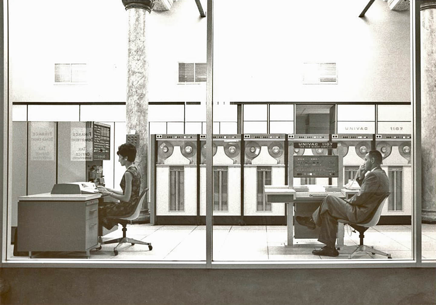
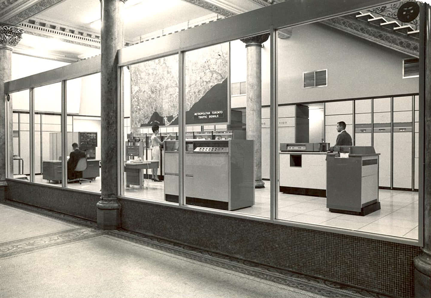
In 1963, the Metropolitan Toronto Traffic Computer Control Centre opened at Old City Hall. This was the city’s attempt to manage the growing volume of vehicle traffic through coordinated signal timing. Operators monitored traffic flow from consoles marked 418 and 1107, adjusting signals in real time across a network of intersections. It was a serious technical undertaking for the era and represented the city’s recognition that traffic was becoming a defining problem.
At the intersection of Parliament and Bloor in 1965, streetcars turned off Bloor and headed south down Parliament toward the CNE. The area just northeast of that intersection showed a street pattern of older brick rowhouses and small retailers typical of the Cabbagetown and Riverdale neighborhoods. These were working-class streets in the mid-1960s, not yet touched by the gentrification that would come in later decades.
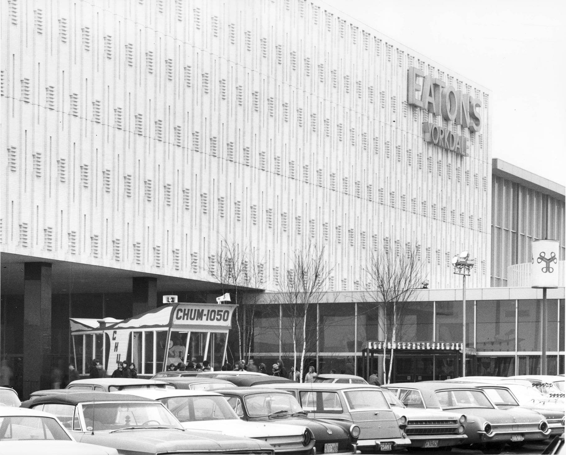
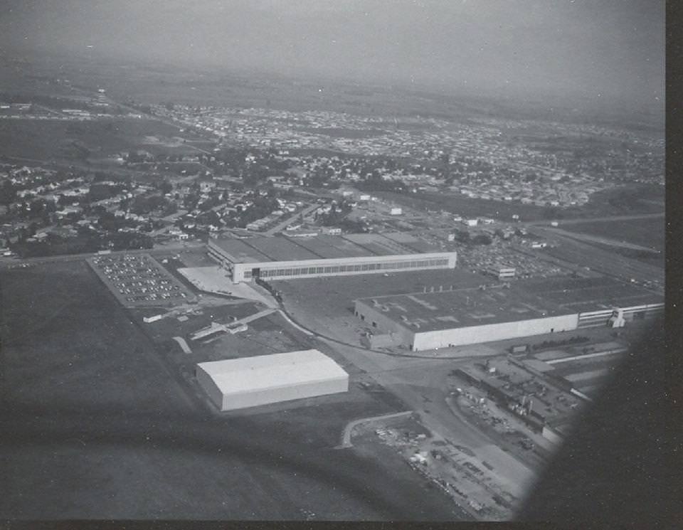
Malton Airport — later renamed Toronto Pearson International Airport — sat on the city’s western edge in what is now Mississauga. The adjacent Avro Canada plant had been the site of the famous Avro Arrow jet program, which was cancelled in 1959. By the early 1960s, the plant had shifted to other work, but the airport itself was expanding steadily to handle the growing volume of commercial air traffic. CHUM Radio, one of Toronto’s most listened-to stations, set up broadcast booths at locations like Eaton’s Yorkdale Shopping Centre, connecting the city’s pop music scene to suburban shoppers.
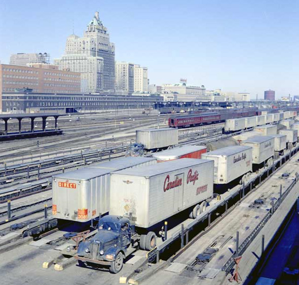
Spadina Avenue near Wellington Street, photographed in 1960 looking north, showed a wide commercial street lined with warehouse buildings and garment industry offices. This stretch of Spadina was the heart of Toronto’s textile trade, where fabric merchants, tailors, and clothing manufacturers ran their operations out of older brick buildings. Just a few blocks away, the financial activity of King Street and the railyards near the waterfront created an industrial zone that employed thousands.
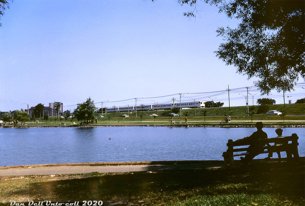
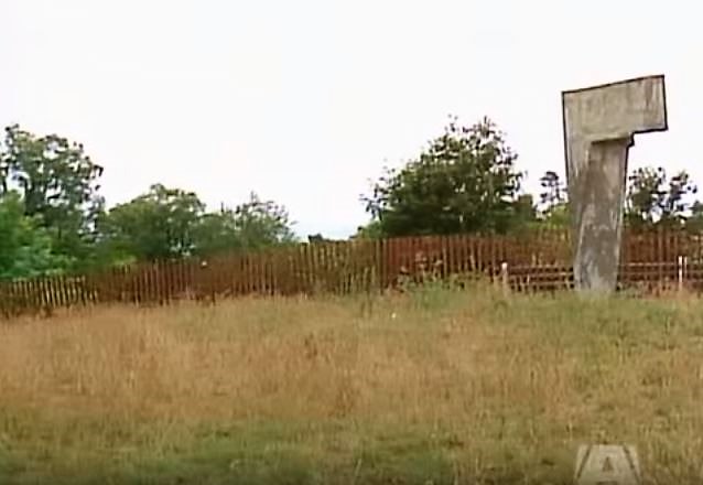
In 1967, GO Transit launched its first commuter rail service along the Lakeshore line. The new trains offered a faster alternative to driving for residents of the suburbs east and west of the city. Near Grenadier Pond in High Park, onlookers on a summer afternoon in 1967 paid little attention as one of the new GO trains passed on the tracks nearby — the service was brand new and still finding its riders. That same year, the Toronto International Sculpture Symposium brought large-scale works to High Park, with artists carving and constructing pieces on-site for the public to watch.
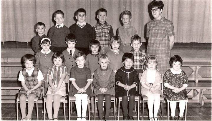
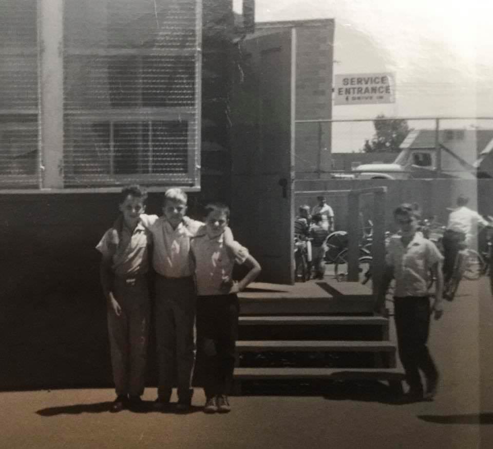
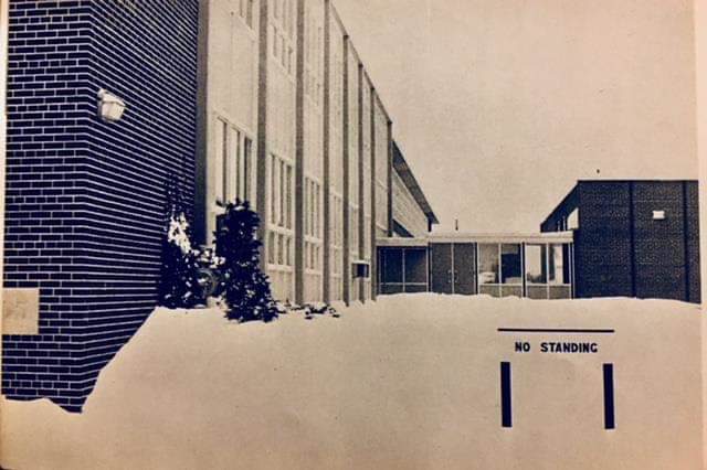
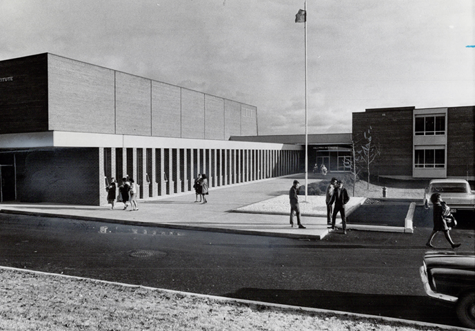
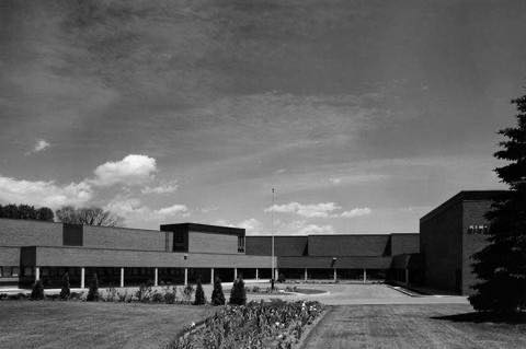
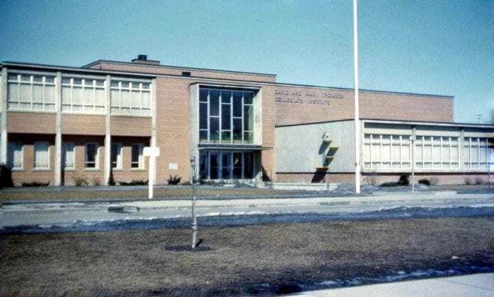
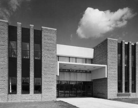
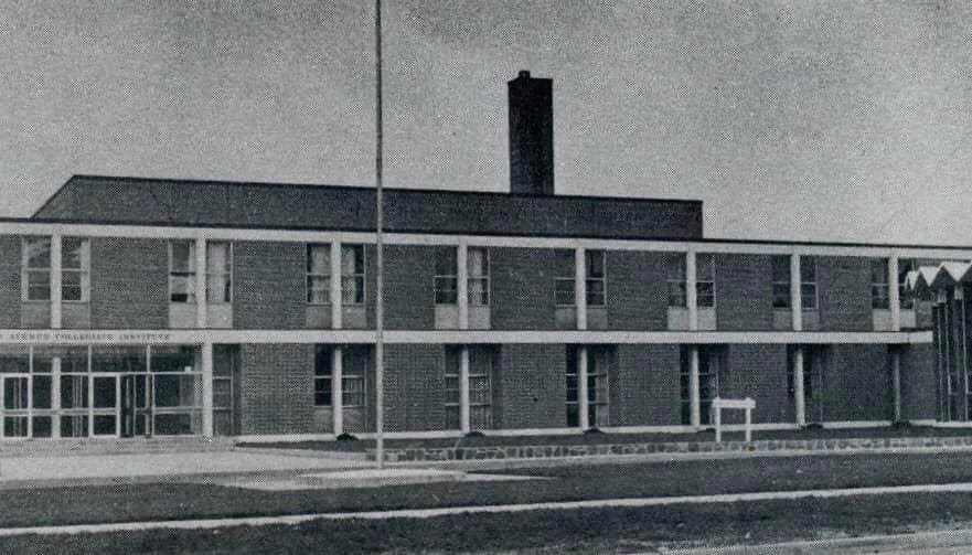
Schools were being built across the city and its surrounding areas at a rapid pace. Scarborough, Etobicoke, and North York all saw new institutions open their doors throughout the decade. Tabor Park Vocational School, designed by Webb, Zerefa and Menkes Architects, was constructed in 1964 and opened September 7, 1965, by the Scarborough Board of Education. It was tailored specifically to students identified as slow learners and those with special needs, with the goal of preparing them for employment after high school. Kingsmill Secondary School, opened in 1963, later became Bishop Allen Academy in 1989.
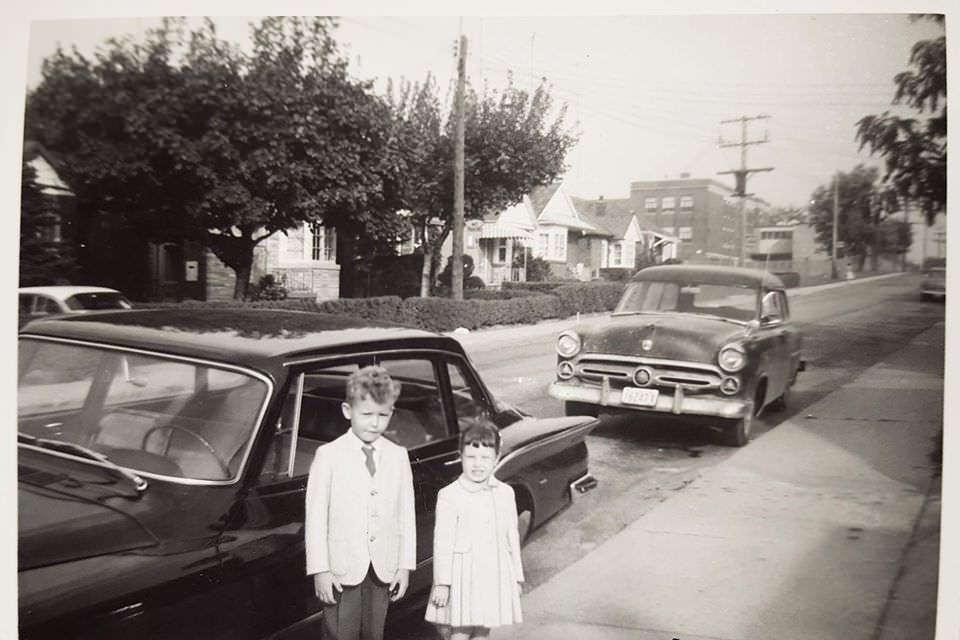
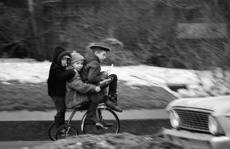
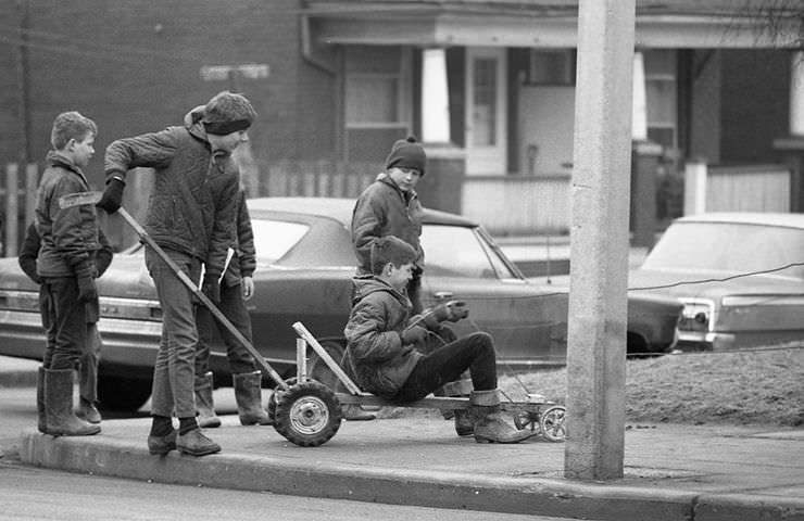
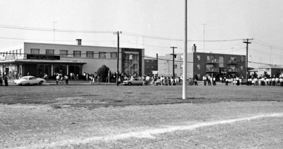
In 1964, the Bathurst Manor Plaza was the site of a CIBC bank robbery. The incident was photographed and documented, a rare crime scene image from a decade when such events in suburban Toronto were still notable enough to draw significant press attention. At King and Dufferin, the industrial and residential neighborhoods mixed at street level, with workers, housewives, and children sharing the same sidewalks in front of factories, corner stores, and modest homes.
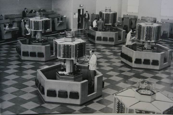
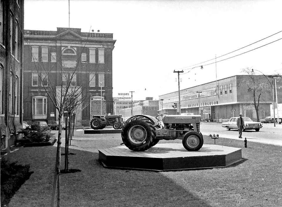
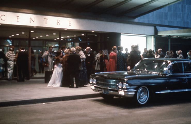
The O’Keefe Centre opened on October 1, 1960, with a gala premiere photographed by Lloyd Walton. The venue brought large-scale theatrical and musical performances to Toronto, seating over 3,000 people. The Toronto Stock Exchange, also photographed by Walton in 1968, was the engine of the city’s financial sector, processing trades on a trading floor that operated with paper tickets and hand signals before electronic systems took over. The Massey Ferguson plant on King Street, still operating in 1965, represented Toronto’s role as an industrial manufacturer — not just a financial and cultural center.
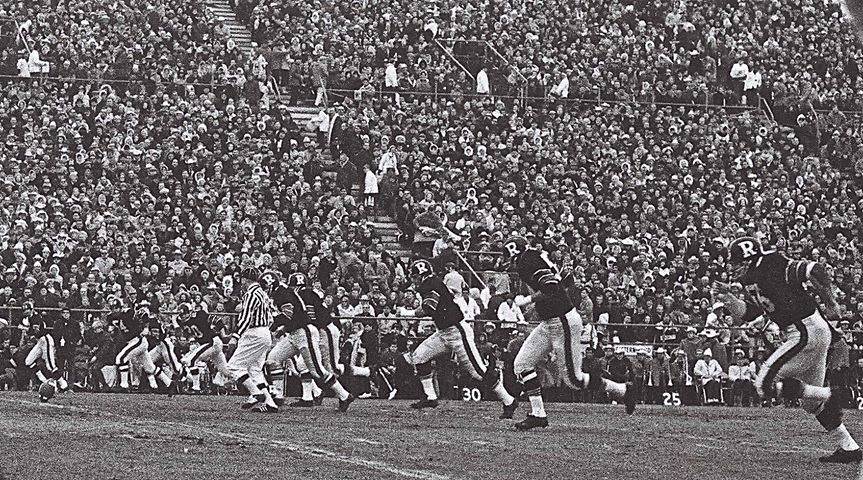
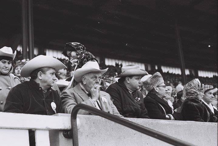
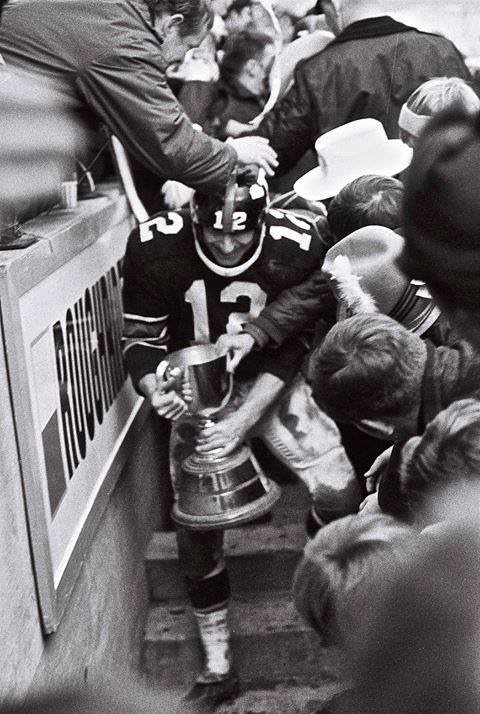
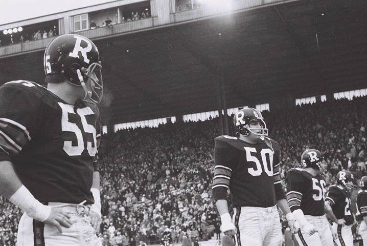
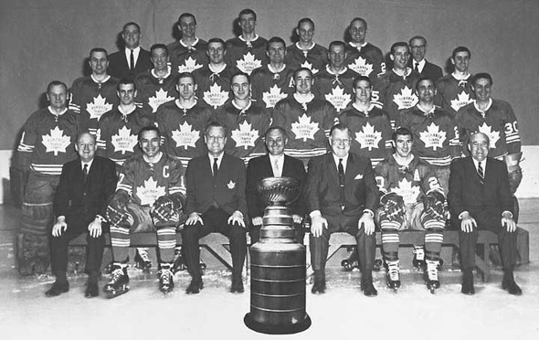
The 1968 Grey Cup was played in Toronto, and the city marked the occasion with visible enthusiasm. Photos from that year show crowds on the streets, decorated storefronts, and the energy of a major sporting event drawing fans from across the country. The Toronto Maple Leafs had won the Stanley Cup in 1967, their last championship of the century, and the city’s sports identity was at a high point. The Leafs team photo from 1967 captures a roster at the peak of their achievement.
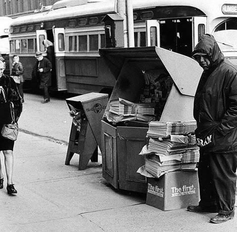
Newspaper stands were a constant presence on the major corners of the city throughout the decade. The Toronto Star, the Globe and Mail, and the Telegram were all in daily circulation, and vendors stocked all three. Readers picked up a copy on the way to the subway or the bus stop, folded it under their arm, and carried the news of the day into work. The Telegram folded in 1971, but in the 1960s it was still a major voice in the city.
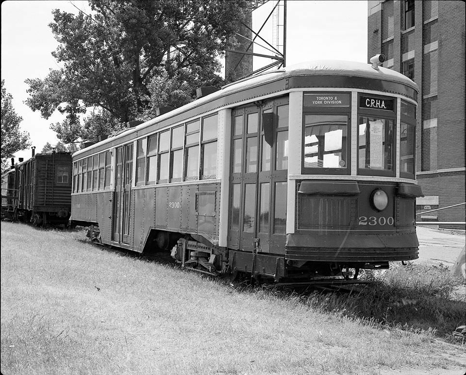
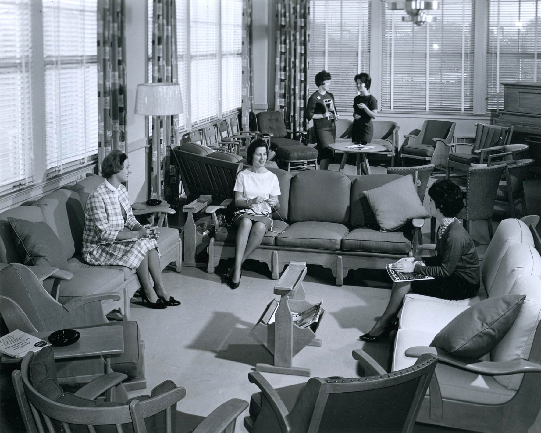
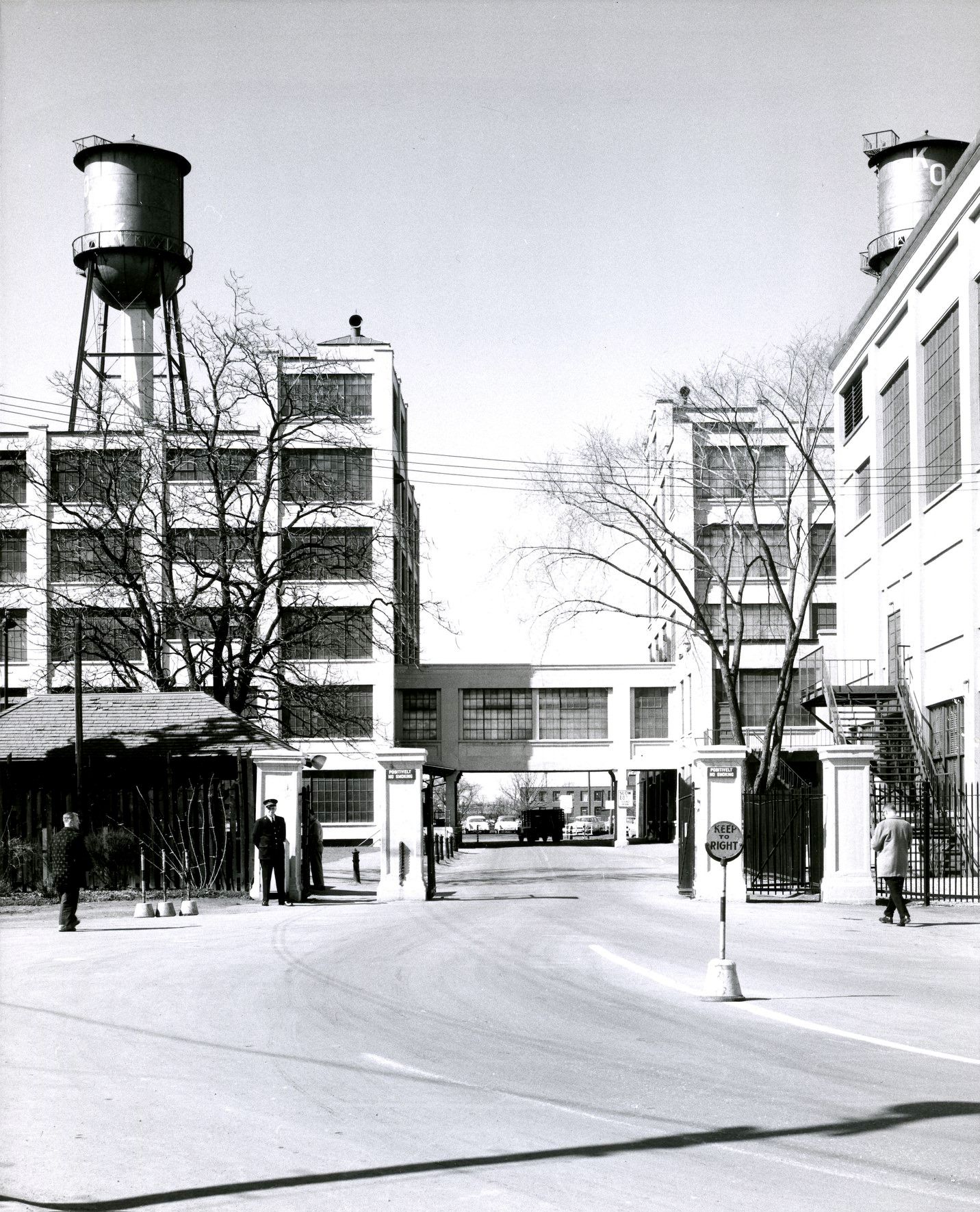
Peter Witt streetcar number 2300 holds a specific place in TTC history. Built in 1921, it was the first streetcar constructed for the TTC and operated for over four decades before being retired in 1963. That same year, the Canadian Railroad Historical Association acquired the car, preserving it for posterity. It sat next to the building at 545 Lakeshore Boulevard, a sign on its window explaining its history to passersby. The Kodak Heights facility on the other side of the city told a different industrial story — its gateway and interior lounges captured in 1960 and 1964 show the scale of the photographic manufacturing company’s Toronto operations.
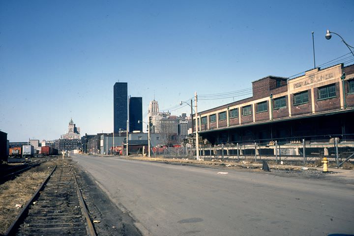
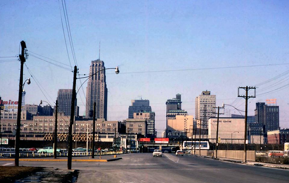
Yonge Street photographed looking north from the Lakeshore in 1962 captures the full stretch of the street as it disappeared into the distance. Railway tracks still ran in front of the Royal York Hotel in 1963, a reminder of how close the rail network sat to the heart of the city. From the observation deck of the new City Hall in 1966, the Financial District spread out below — a district in the middle of rebuilding itself from the ground up.
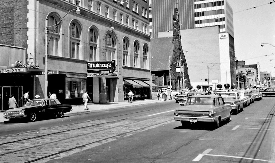
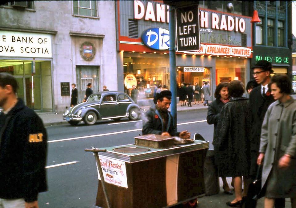
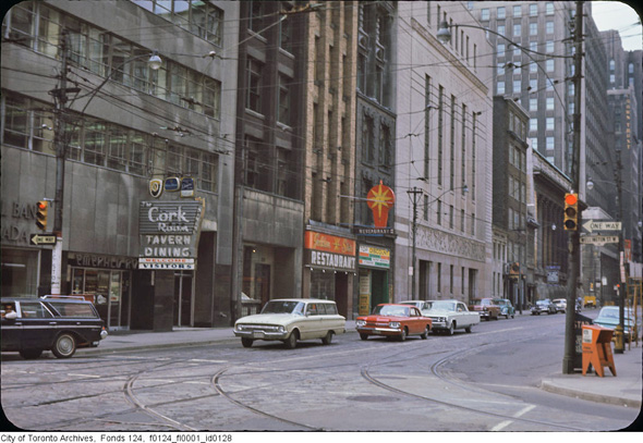
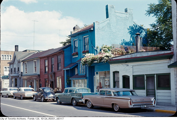
Postcard views of Yonge Street were produced throughout the 1960s and distributed widely. These were not candid photographs — they were composed, often color-corrected images meant to present the city in its best light. The view looking up Yonge toward Queen Street in 1966, the holiday version of the same scene, and the shot of Yonge and Gould Street all show a commercial street dressed up for public consumption. The signs, the storefronts, and the parked cars are all part of the image the city wanted to project: modern, busy, and confident.
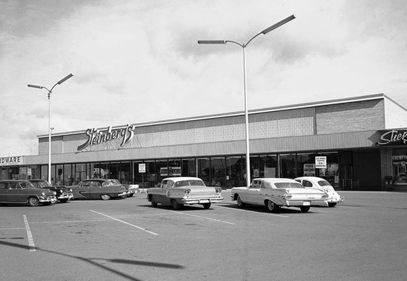
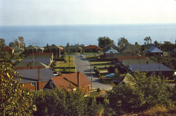
Bloor Street west of Yonge told a different story neighborhood by neighborhood. At Bathurst, the street was lined with mid-century commercial blocks. At Lansdowne and Dovercourt, the storefronts were smaller and the foot traffic more local. Near St. Clarens and Havelock, the street had a quieter residential feel at the edges. At Bloor and Islington, the western stretch of the street was still largely suburban in character — wider lots, newer buildings, fewer pedestrians. These photographs, taken in 1966, form a systematic record of the street from one end to the other.