
Derbyshire in the 1890s was a county pulled in two directions at once. Coal mines and iron works dominated the Erewash Valley, while ancient limestone dales and open moorlands stretched across much of the rest of the county. Towns like Ilkeston and Heanor had expanded rapidly off the back of industrial growth, yet just miles away, villages looked much as they had for centuries. This tension between the old and the new made Derbyshire one of the most layered places in England during the late Victorian period.
The River Derwent was central to Derbyshire’s story. The Derwent Valley, now a UNESCO World Heritage Site, was the cradle of the modern factory system. By the 1890s, cotton mills still lined the riverbanks, drawing power from the fast-flowing current. These mills kept thousands of workers employed and had helped shape an entire regional economy over the previous century. The river also carried commercial traffic and served as a geographic spine tying the county’s settlements together. One of the most visible signs of Derbyshire’s growing connectivity was its railway infrastructure, which crossed the Derwent at several points.
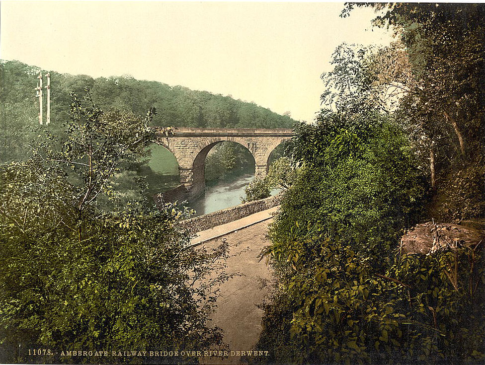
Ambergate sat at an important junction where the Midland Railway split toward Manchester and Derby. The railway bridge over the Derwent was a practical feat of Victorian engineering, carrying passengers and freight through a narrow gorge cut by the river over thousands of years. Not far from it, pedestrians crossed by a very different structure.
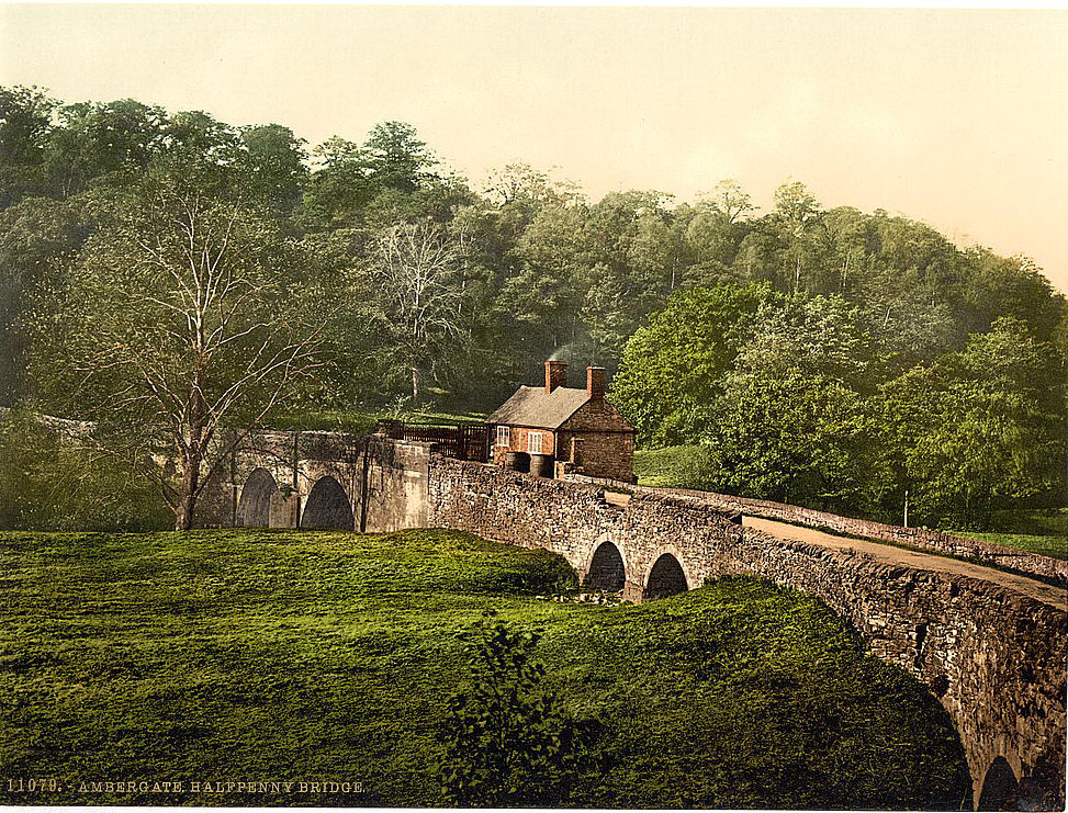
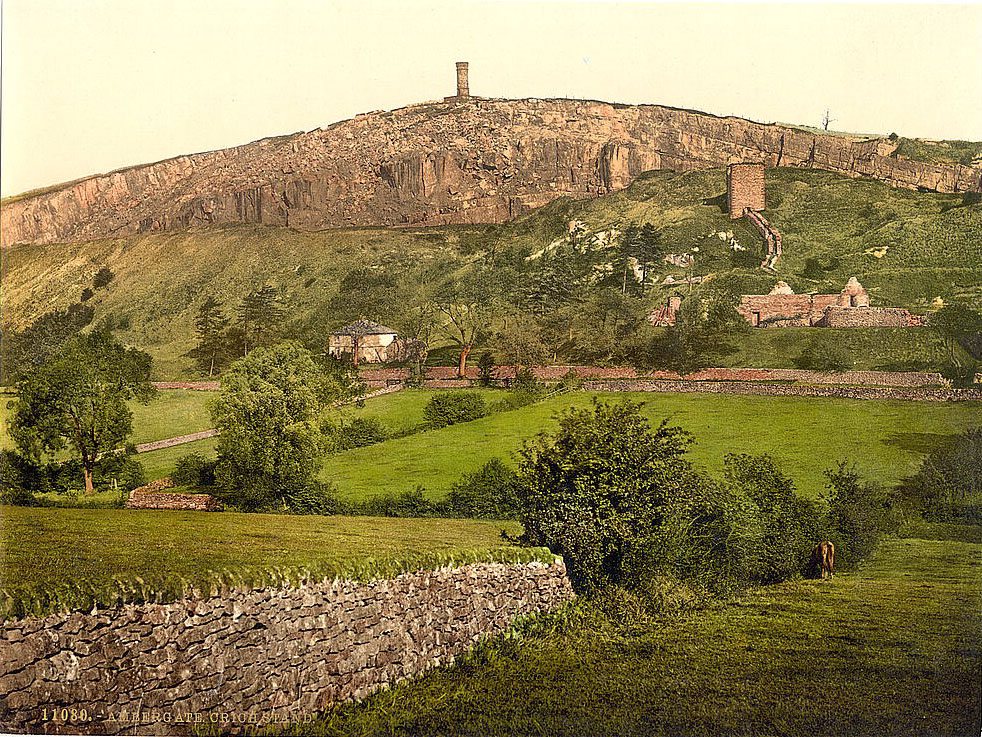
The Halfpenny Bridge earned its name from the toll charged to cross it — a modest fee that nonetheless reflected the era’s transactional approach to infrastructure. Nearby, on the prominent hill above Ambergate, stood a landmark of a different kind entirely.
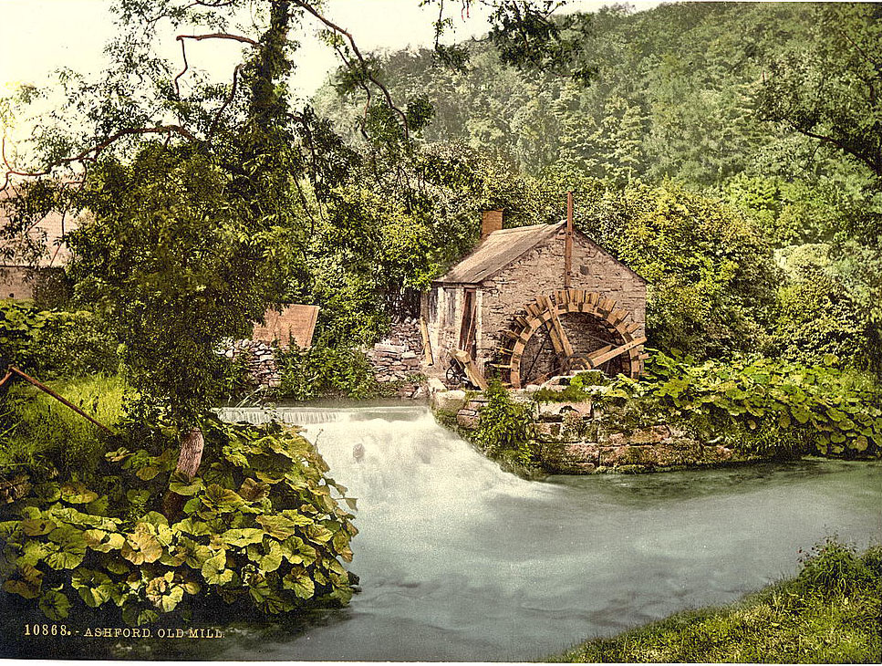
The Derwent Valley was not the only place where Derbyshire’s industrial past left its mark on the water. At Ashford-in-the-Water, an old mill had operated for generations, grinding grain and processing materials using the river’s flow. Mills like this one were common across the county and represented an earlier, smaller-scale form of industry that predated the great factory age by centuries.
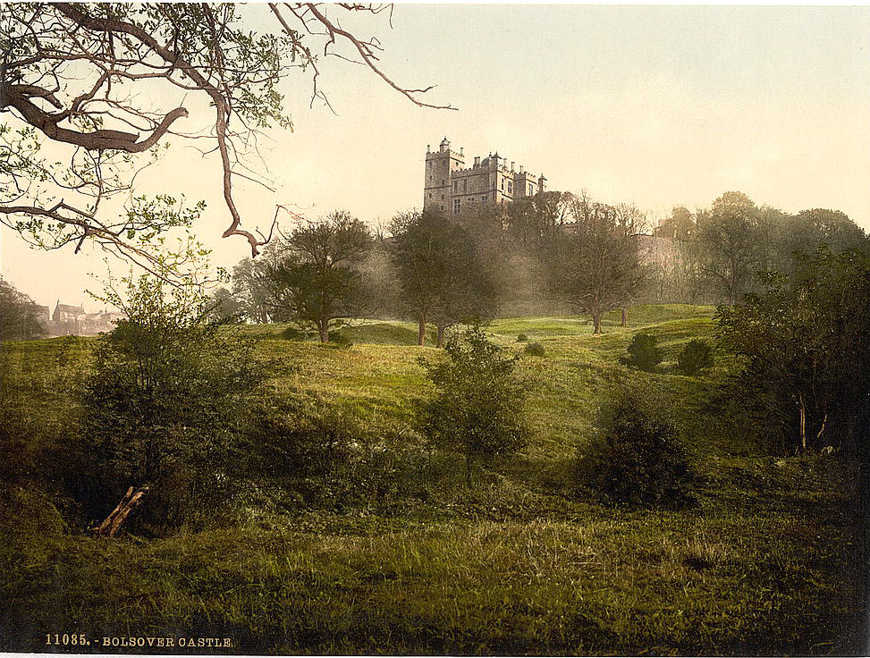
Derbyshire’s history stretched far beyond its industrial period. Bolsover Castle, perched dramatically on a ridge above the Doe Lea Valley, had been built in the early 17th century on the site of a Norman fortress. By the 1890s, much of the castle was already in a state of picturesque ruin, making it a popular subject for photographers and a draw for curious visitors.
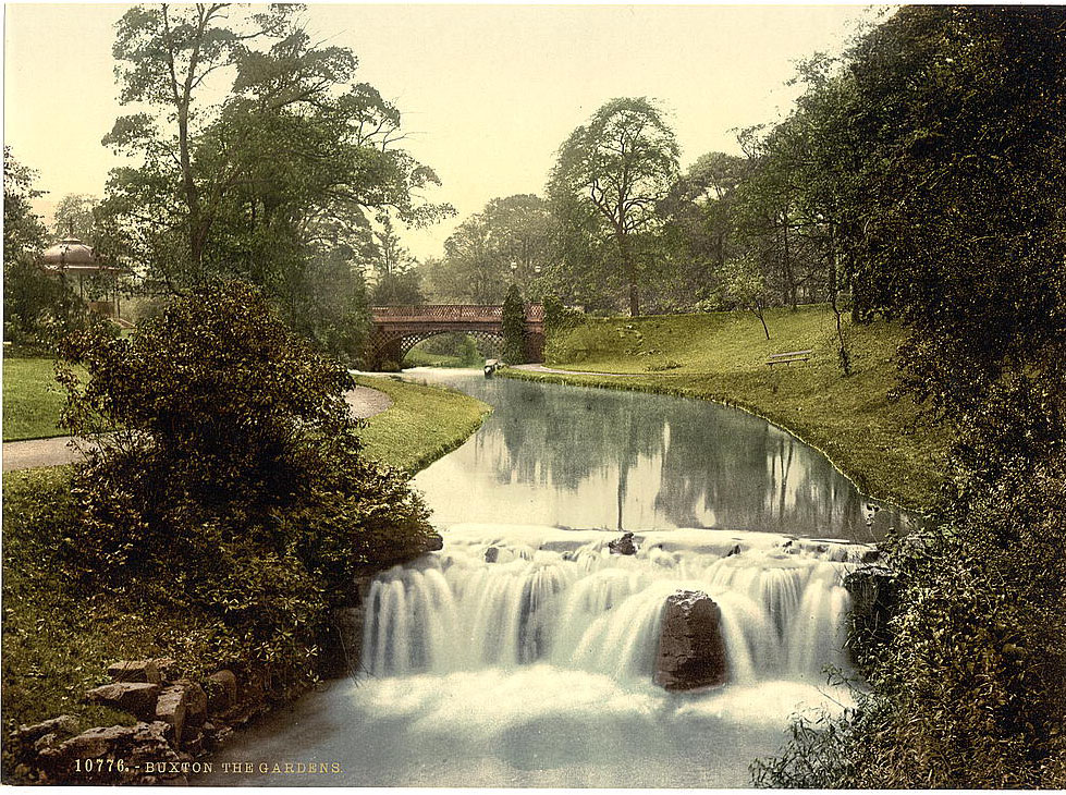
Buxton, in the northwest of the county, occupied a different place in the Victorian imagination. Sitting at over a thousand feet above sea level, it was one of the highest market towns in England. Its natural warm springs had attracted visitors since Roman times, and by the 1890s, Buxton had developed into a polished spa resort. The Duke of Devonshire had invested heavily in the town, and the results were visible in its grand crescent, opera house, and well-maintained public gardens.
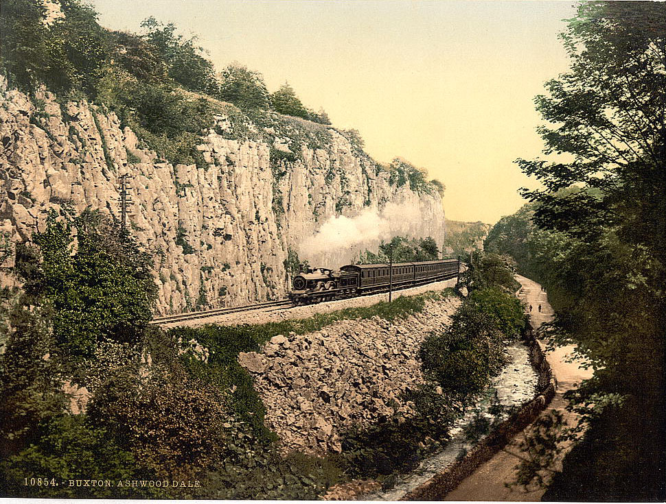
Beyond the gardens, the landscape around Buxton was raw and dramatic. Ashwood Dale, cut by the River Wye, offered sheer limestone walls and dense woodland just minutes from the town’s manicured streets.
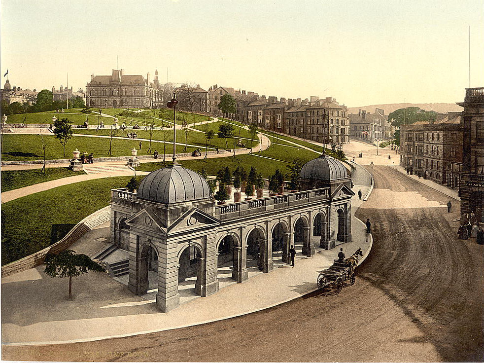
Inside the town itself, visitors flocked to the Pump Room to drink the mineral-rich spring water that had made Buxton famous. Drinking the waters was considered medically beneficial in the Victorian era, and the pumping room served as a social hub for the well-to-do who came to take the cure.
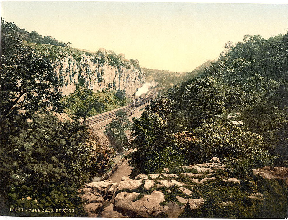
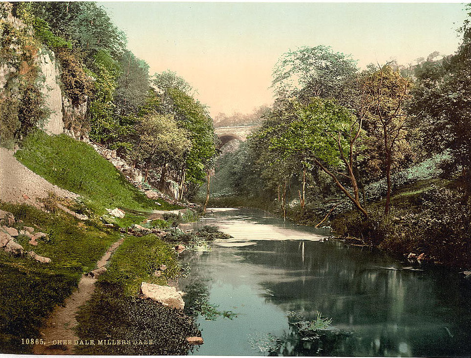
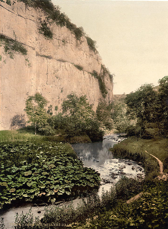
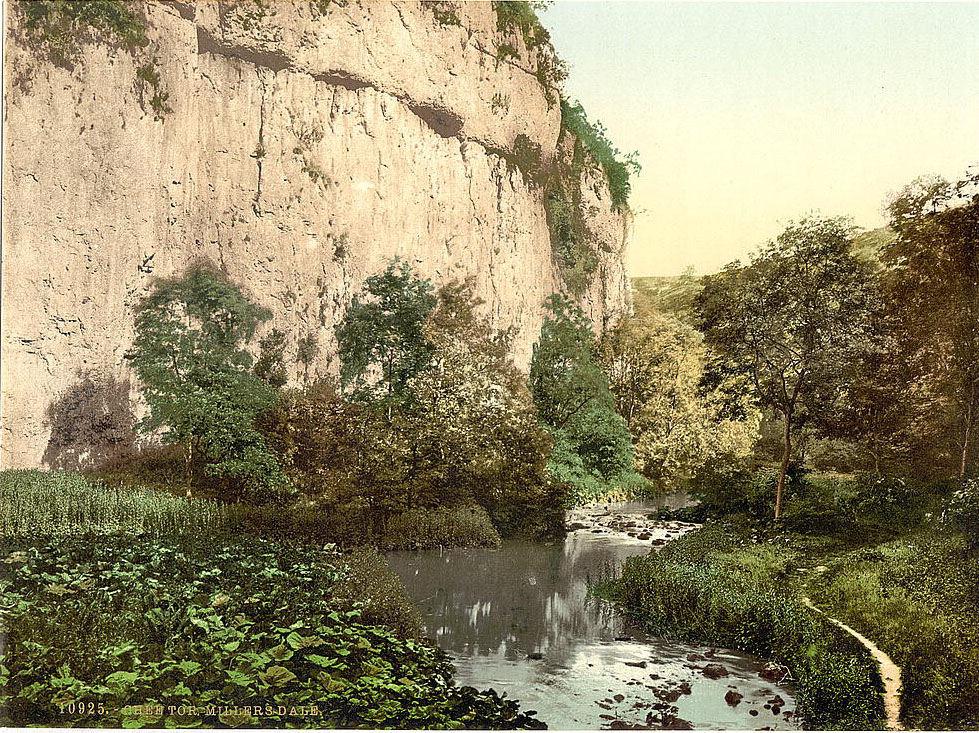
South of Buxton, the River Wye carved its way through some of the most striking terrain in the county. Chee Dale was a narrow gorge with towering limestone cliffs rising directly from the water, so close together in places that the footpath was forced to use stepping stones along the riverbed.
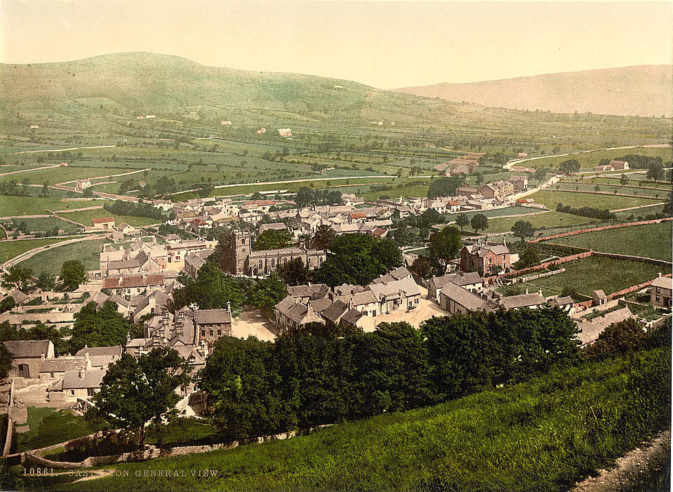
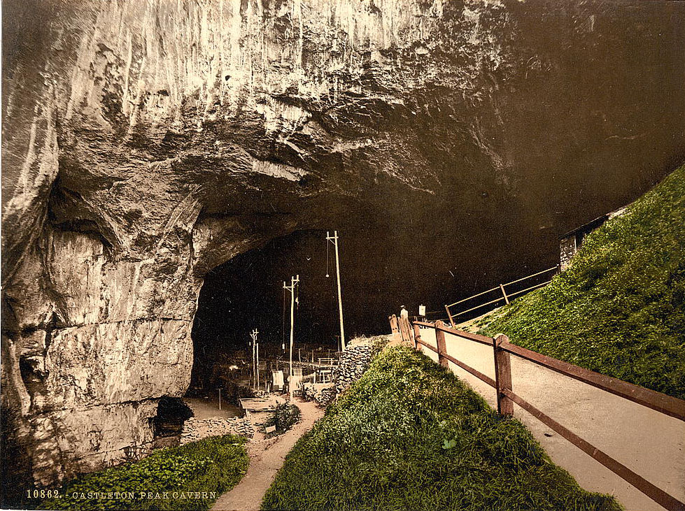
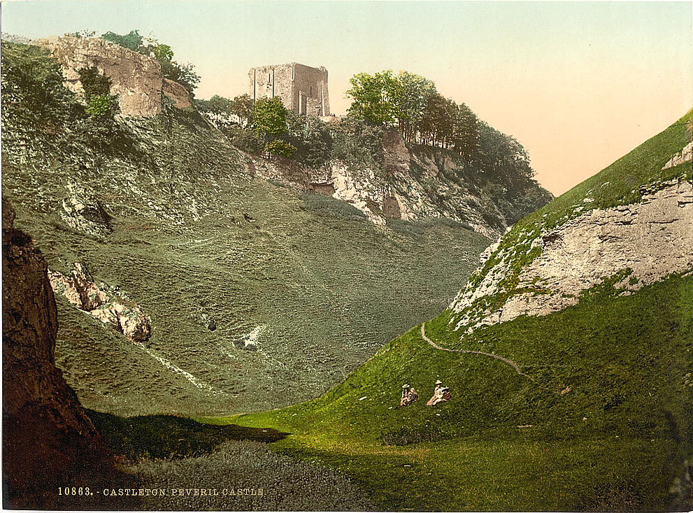
Castleton, at the western end of the Hope Valley, was one of Derbyshire’s most visited villages by the 1890s. It sat beneath the ruins of Peveril Castle and beside one of the country’s most remarkable natural features — Peak Cavern, also historically known by a far more colorful name. Rope makers had worked at the cave’s enormous entrance for centuries, and the tradition continued into the Victorian era.
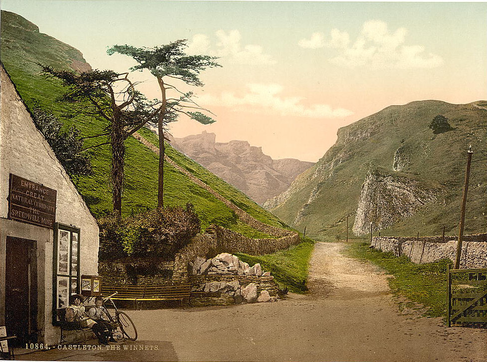
The Winnats Pass, a steep limestone gorge that served as the main route into Castleton from the west before the road through the Mam Tor landslip area was built, was one of the most photographed features in the area. It dropped sharply between towering pinnacles of reef limestone in a scene that felt almost theatrical.
Miller’s Dale, further east along the Wye, was accessible by the Midland Railway’s line through the valley. The station at Miller’s Dale served as a gateway to the surrounding dales for day-trippers from Manchester and Sheffield. The gorge itself was dominated by the towering bulk of Chee Tor, a massive limestone promontory that forced the river into a tight loop.
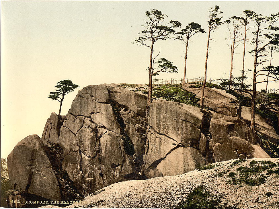
At Cromford, where Richard Arkwright had built the world’s first water-powered cotton mill in 1771, the landscape carried the weight of industrial history. Above the village, the Black Rocks — a distinctive gritstone outcrop — offered a sharp contrast to the limestone scenery found elsewhere in Derbyshire.
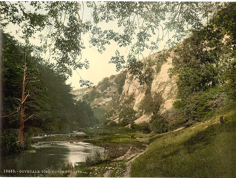
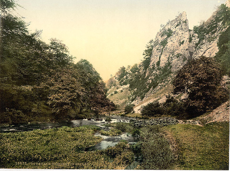
Dovedale, where the River Dove formed the border between Derbyshire and Staffordshire, was perhaps the most celebrated natural valley in the entire county. Its features had been written about by Izaak Walton in the 17th century and by the time the 1890s arrived, it drew a steady stream of walkers and tourists. The Tissington Straits and the Tissington Spires were named rock formations that guided visitors through the narrower sections of the dale.
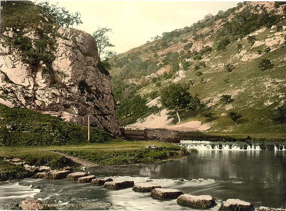
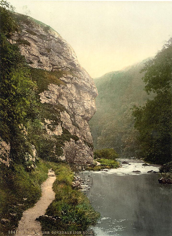
The stepping stones at Dovedale were one of the most recognizable sights in Derbyshire. Visitors crossed the shallow river on a line of flat stones that had allowed passage at this point for generations. Nearby, Lion Rock rose from the valley floor, named for the profile its silhouette formed against the sky.
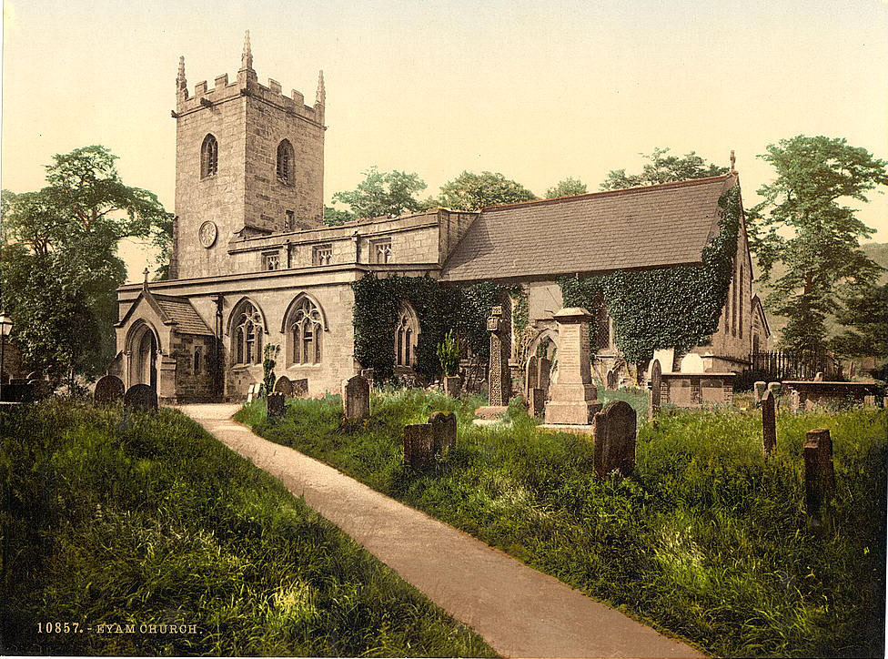
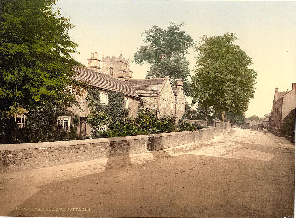
Eyam, in the eastern Peak District, carried one of the darkest histories of any village in England. In 1665 and 1666, bubonic plague swept through the settlement. The villagers, led by their rector William Mompesson, made the decision to quarantine themselves to prevent the disease spreading to surrounding communities. Around 260 of Eyam’s roughly 800 residents died. By the 1890s, the village church and the plague cottages had become solemn sites of memory, drawing visitors who came to understand what had happened there two centuries earlier.
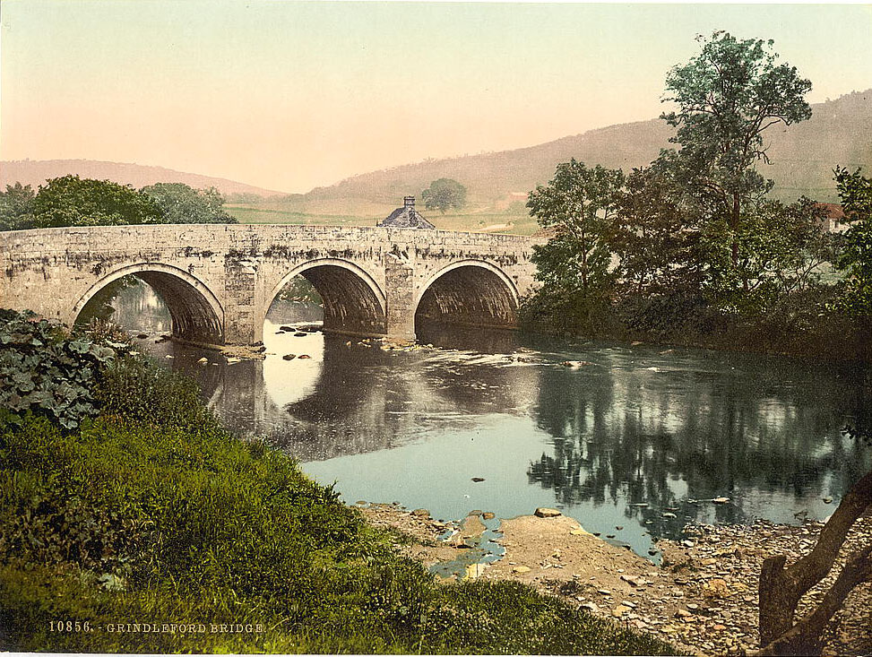
The village of Grindleford sat in the Derwent Valley near the point where Padley Gorge met the main river. Its bridge was a functional stone crossing used daily by locals moving between the valley floor and the moors above.
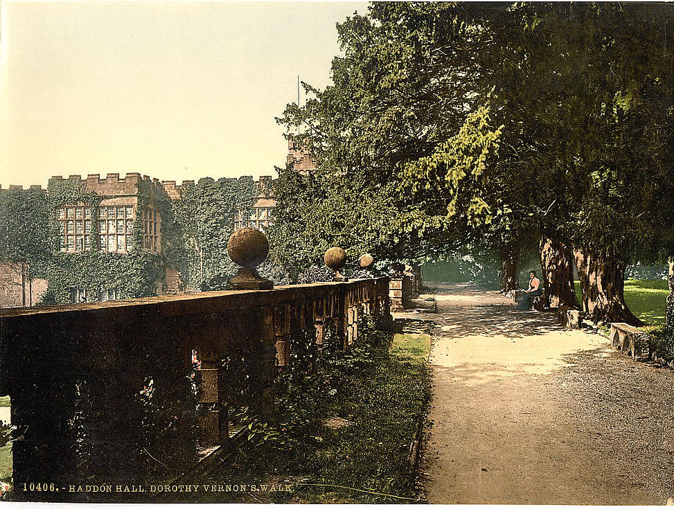
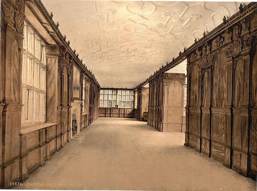
Haddon Hall, set above the River Wye near Bakewell, was one of Derbyshire’s finest medieval manor houses. By the 1890s, it had been largely uninhabited by its owners, the Dukes of Rutland, for several generations. This neglect had paradoxically preserved it in an exceptional state, protecting its medieval and Tudor interiors from the modernizing alterations that had changed many other great houses. Photographers were drawn to its terraces, steps, and romantic decay.
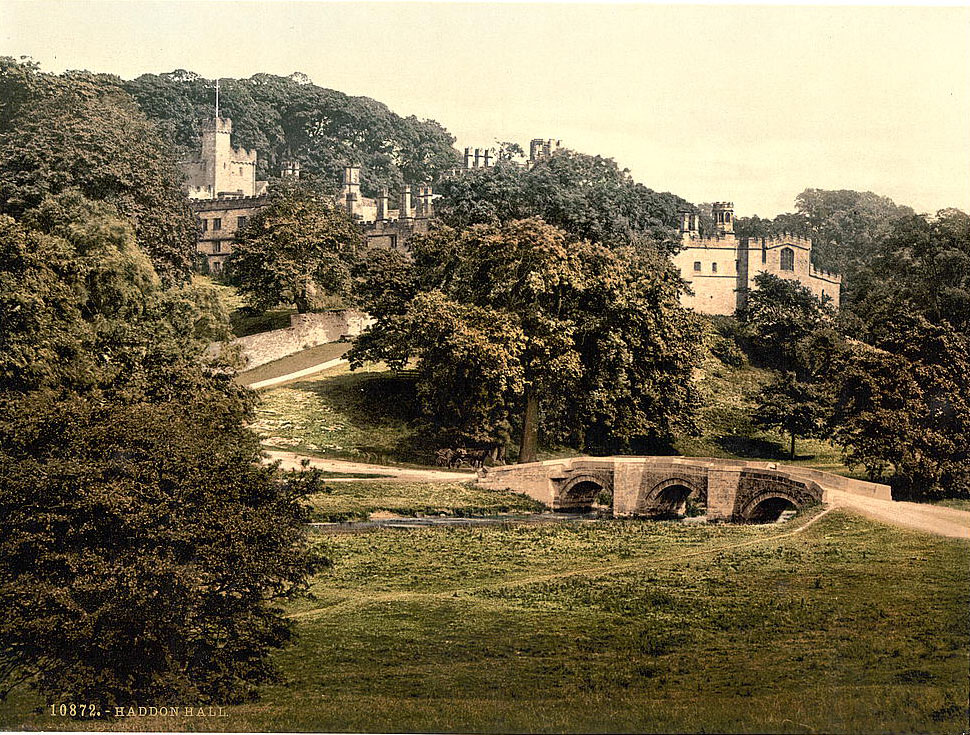
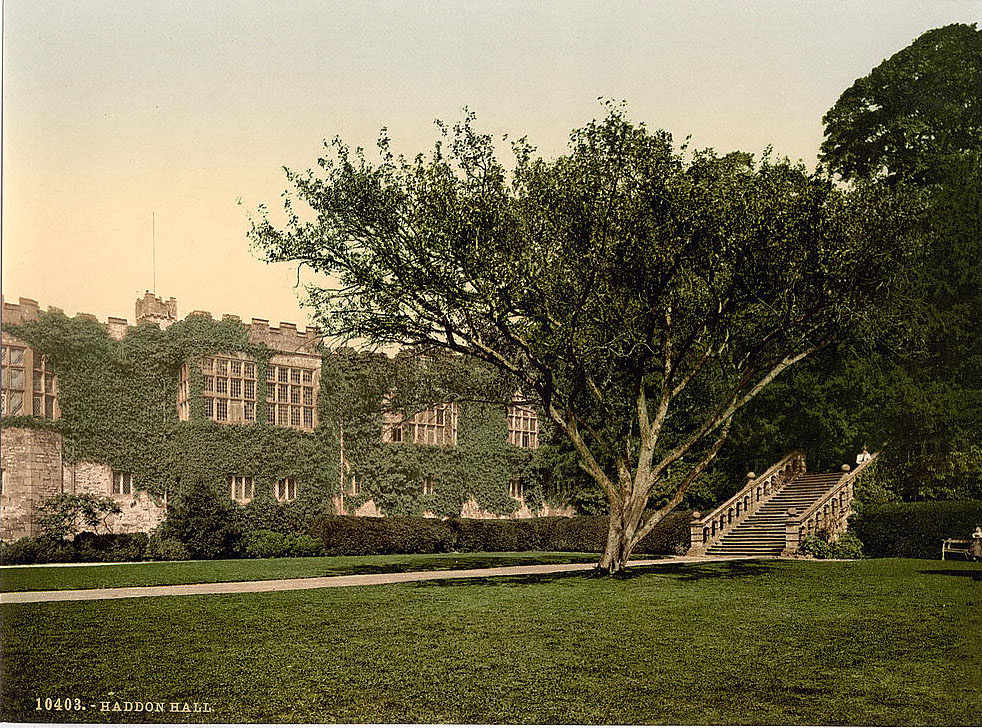
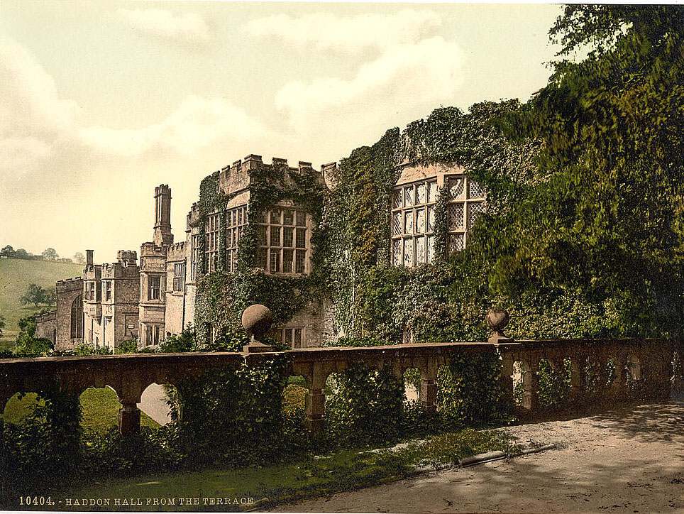
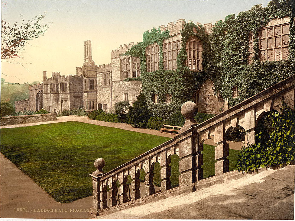
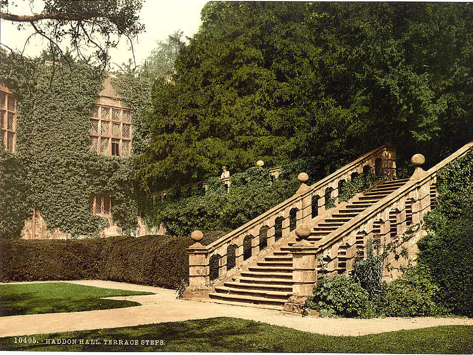
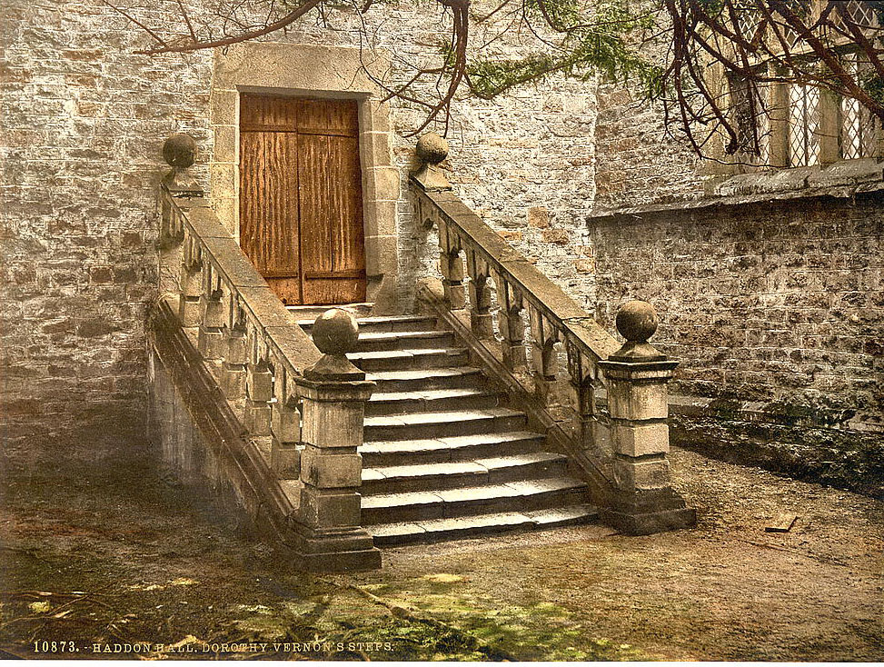
The hall was also wrapped in romantic legend. Dorothy Vernon, daughter of the 16th-century owner Sir George Vernon, was said to have eloped with Sir John Manners during a ball at the hall, escaping via the steps that now bore her name. The story was almost certainly embellished by the Victorian era, but it fit perfectly with the hall’s atmospheric setting.
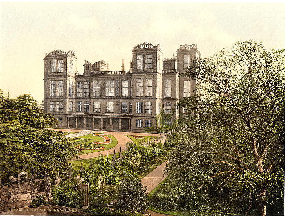
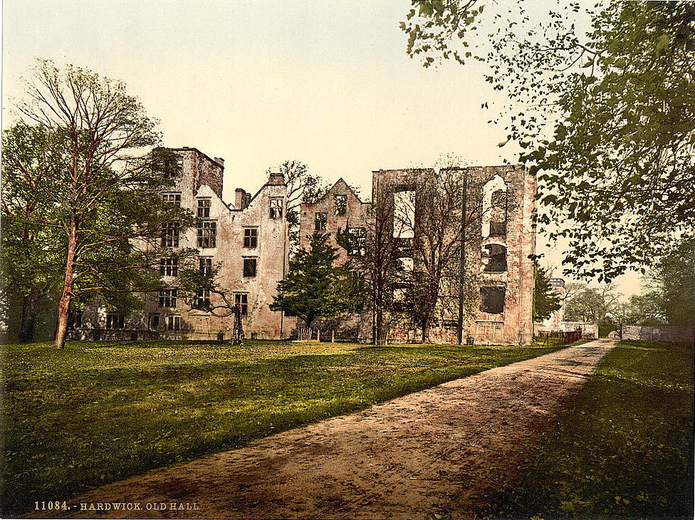
Hardwick Hall, near Chesterfield, was built in the 1590s by Bess of Hardwick — one of the most powerful women in Elizabethan England. Its enormous windows were so striking that the building earned the rhyme ‘Hardwick Hall, more glass than wall.’ By the 1890s, both the newer hall and the shell of the older one stood on the same hilltop estate, the old hall already a ruin beside its grander replacement.
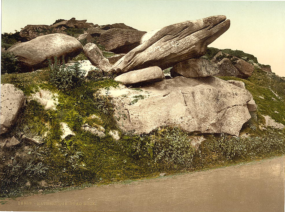
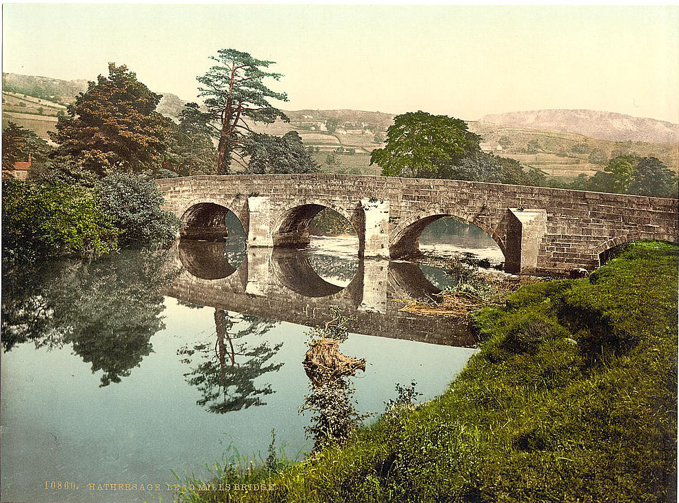
The village of Hathersage, in the Hope Valley, sat on the edge of the gritstone moorlands. The unusually shaped Toad Rock was a local curiosity, worn by centuries of wind and rain into its distinctive form. The Lead Mills Bridge nearby was a working structure tied to the valley’s history of lead processing, which had shaped the local economy for centuries before the coal age.
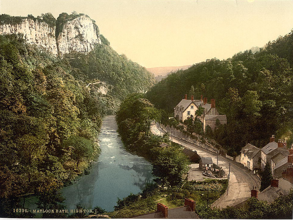
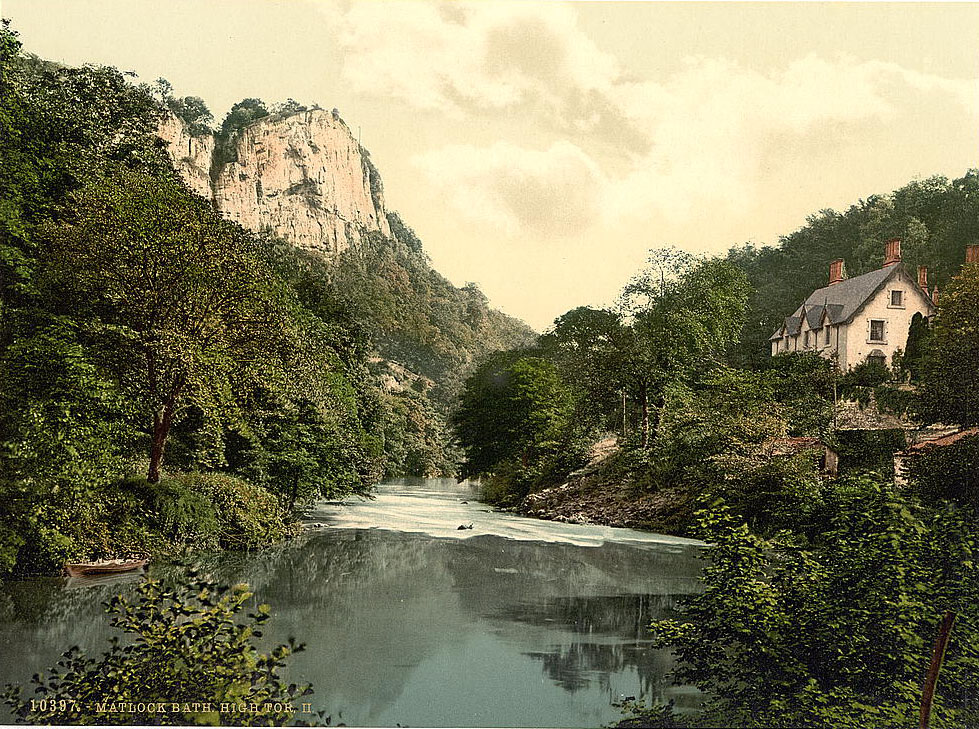
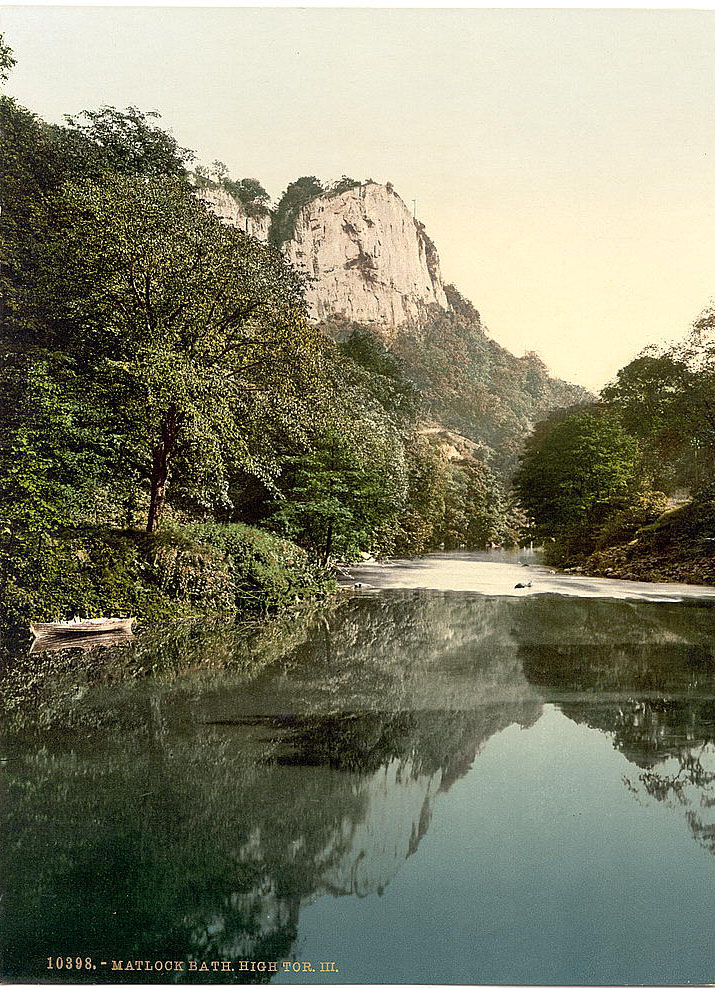
Matlock Bath, squeezed into the narrow Derwent gorge south of Matlock, was a Victorian resort town that had grown up around its warm thermal springs. It attracted visitors from across the Midlands, many arriving by rail. The Heights of Abraham — a wooded hillside above the gorge — was reached by a steep climb and offered commanding views across the valley. Matlock High Tor, a sheer limestone cliff rising directly from the riverbank, was one of the most dramatic natural features in Derbyshire.
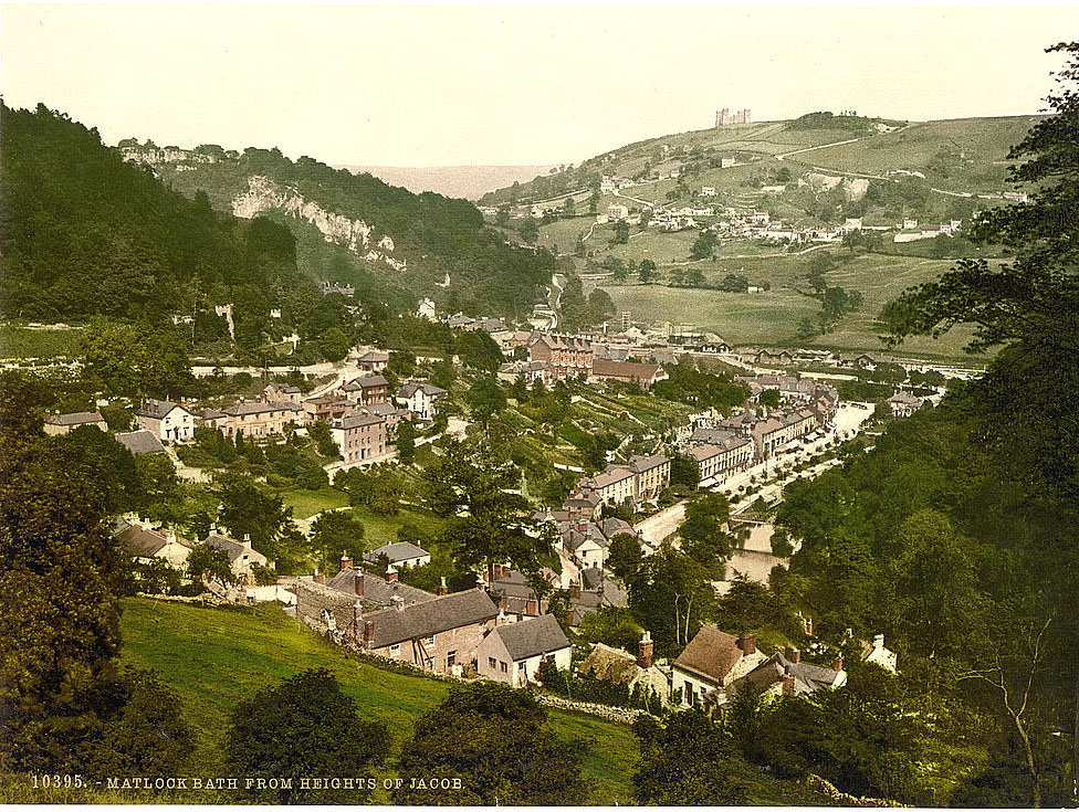
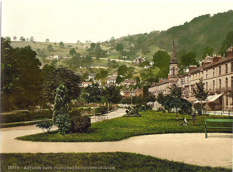
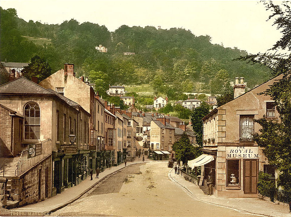
Matlock Bank, on the hillside above the gorge, was home to Smedley’s Hydropathic Establishment — a vast hydro hotel that treated patients using water therapies. John Smedley had opened the facility in the 1850s, and by the 1890s it dominated the skyline of the upper town and accommodated hundreds of guests at a time.

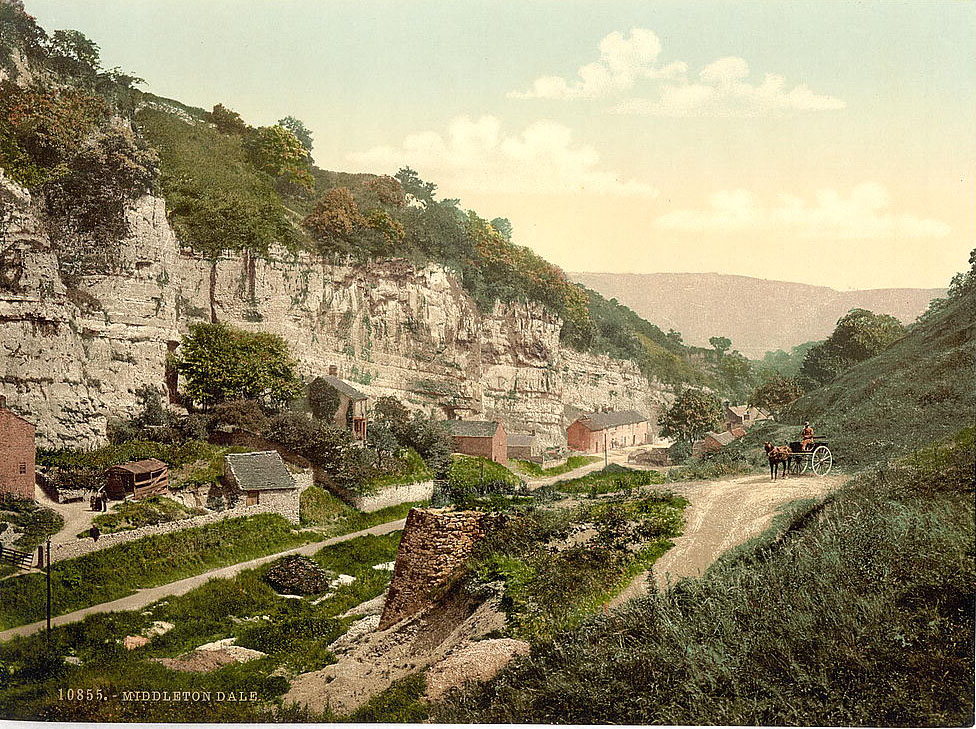
Middleton Dale, in the Hope Valley area, was a quiet limestone gorge used as a through-route by locals and increasingly by tourists following the railway lines that now threaded through much of the Peak District.
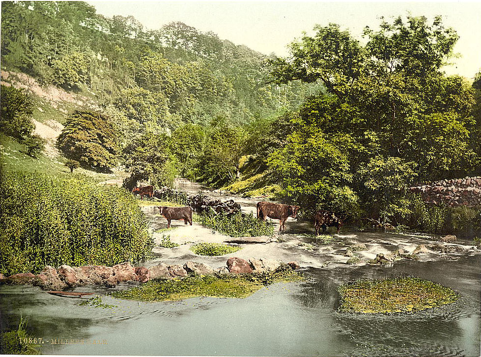
Miller’s Dale, running along the River Wye, was one of the most visited dales in the county. The Midland Railway’s viaduct crossed the gorge in a structure that John Ruskin famously condemned as a desecration of the natural scenery when it was built in the 1860s. By the 1890s, it carried thousands of visitors into the heart of the Peak District each year.
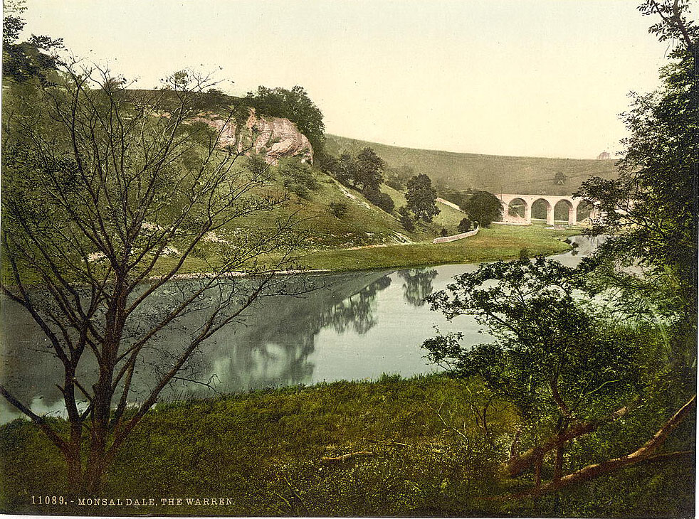
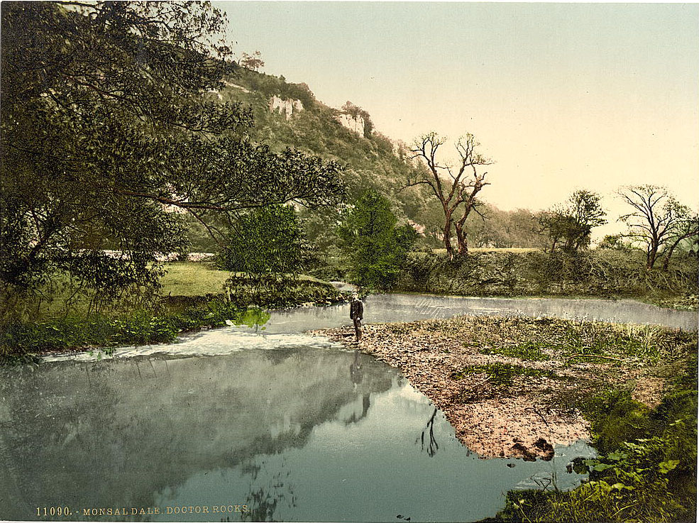
Monsal Dale, just downstream from Miller’s Dale along the Wye, offered a series of scenes that photographers returned to repeatedly. The dale opened and narrowed at different points, with the Warren and Doctor Rocks forming distinct features within the gorge.
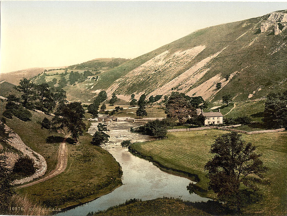
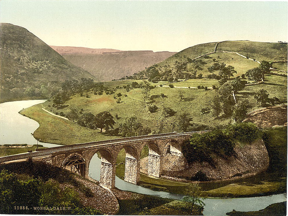
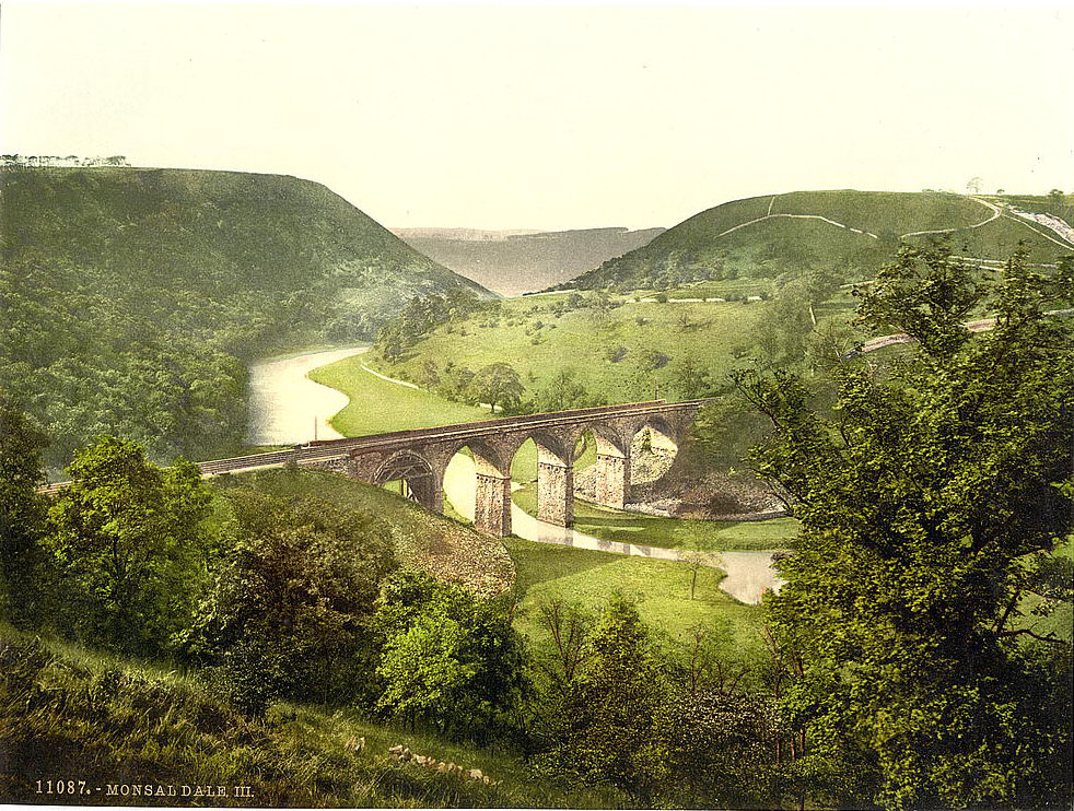
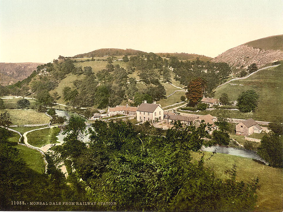
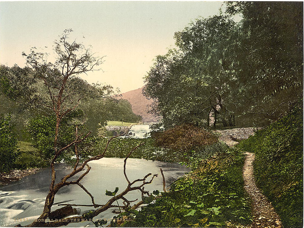
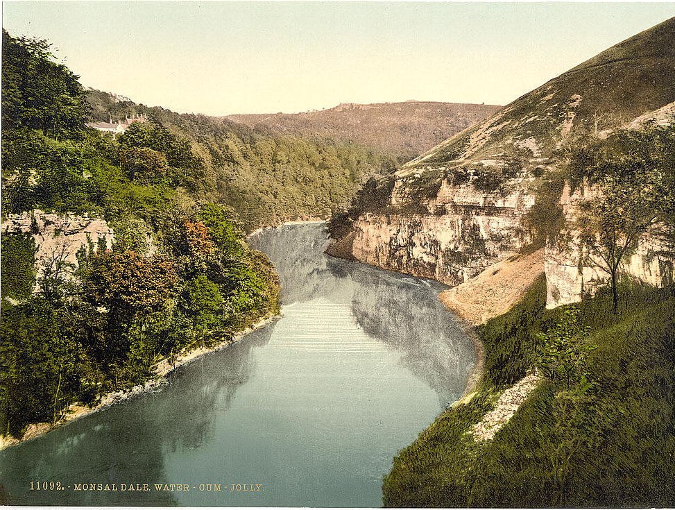
The Warren Waterfall added sound and movement to the dale’s quieter stretches. Water-cum-Jolly, a broad, still section of the Wye where the river widened between high cliffs, was one of the most tranquil spots in the entire valley.
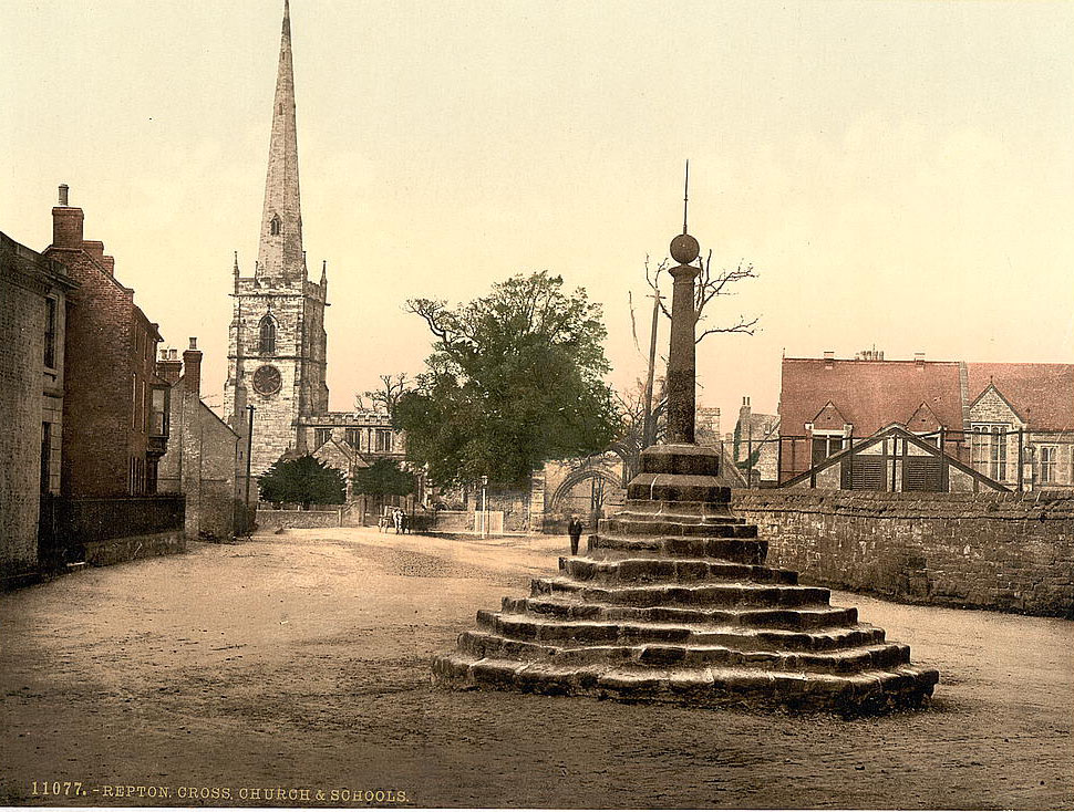
Repton, in the south of the county, was one of Derbyshire’s oldest settlements. The village had been a capital of the Anglo-Saxon kingdom of Mercia and housed a priory dating to the 7th century. By the 1890s, the famous Repton School occupied much of the former priory site, and the medieval cross in the village centre remained a landmark of local identity.
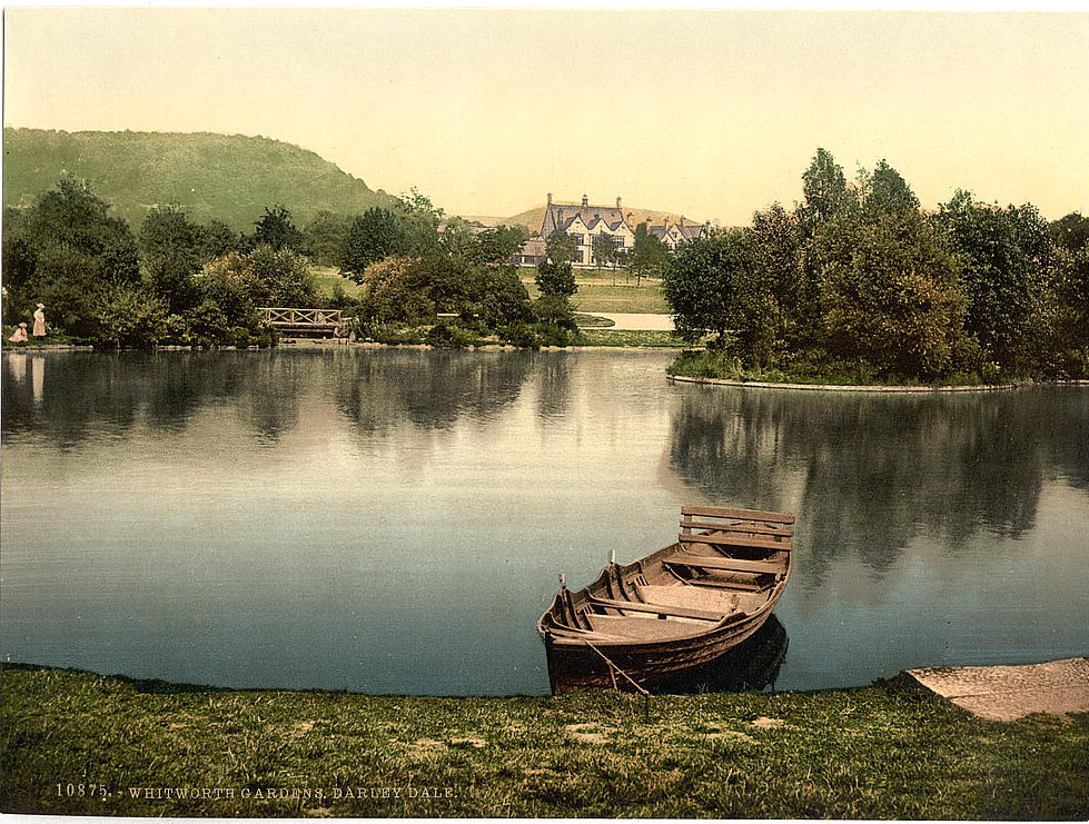
Darley Dale, in the Derwent Valley between Matlock and Bakewell, was home to Whitworth Gardens, created through the philanthropy of Sir Joseph Whitworth — the engineer who had standardized screw thread measurements and made a fortune doing so. The gardens were a gift to the local community and reflected the era’s belief that public green spaces improved working-class life.
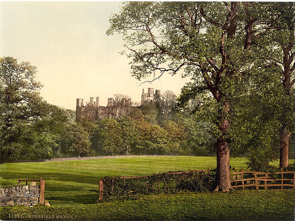
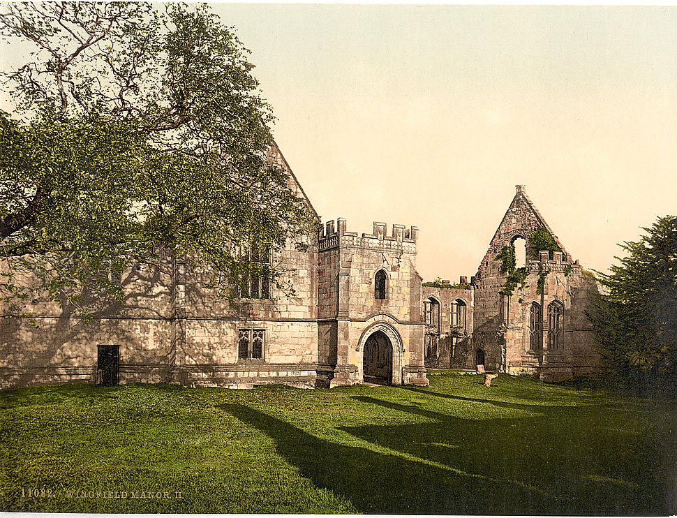
Wingfield Manor, in the Amber Valley, was a 15th-century fortified manor house that had seen more history than most buildings in England. Mary Queen of Scots had been imprisoned there on two separate occasions in the 1560s. By the 1890s, it had long been a ruin, its towers and walls open to the sky, standing as a stark reminder of the political turbulence of the Tudor period.





The Crich Memorial wasn’t built until the interwar period.
Honestly, I’ve visited most of these places and live relatively close to a few of them, so things haven’t changed.