
San Francisco in the 1990s was a city in motion. Silicon Valley’s tech boom was pulling workers into the Bay Area by the thousands, reshaping neighborhoods, raising rents, and changing the look and feel of city streets. At the same time, the city was wrestling with homelessness, the ongoing AIDS crisis, and the physical scars left by the 1989 Loma Prieta earthquake. These photographs, taken between 1990 and 1995, capture San Francisco at a turning point — before the dot-com bubble fully inflated, when many of its older corners were still intact.
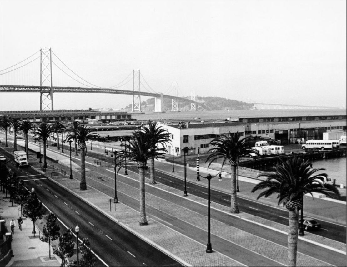
The Embarcadero in 1994 looked very different from the busy waterfront promenade it would later become. The elevated Embarcadero Freeway, heavily damaged in the 1989 earthquake, had just been torn down. With it gone, the palm-lined roadway opened up to sweeping views of the Bay Bridge. The waterfront was being reimagined, and this stretch of the city was beginning its transformation into one of San Francisco’s most prized public spaces.
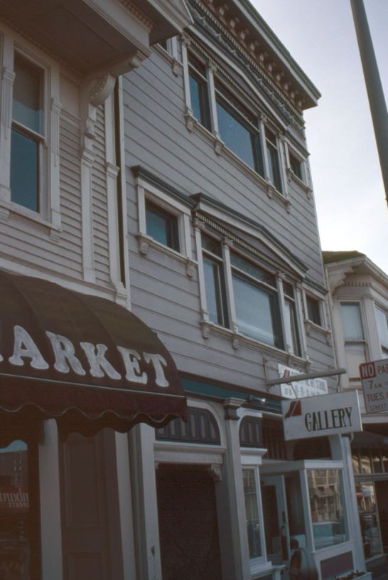
Clement Street in the Richmond District was one of the most culturally layered corridors in the city. Running through the heart of what locals called the “New Chinatown,” it was packed with restaurants, specialty shops, video stores, and small galleries. The neighborhood drew immigrants from China, Vietnam, Russia, and elsewhere, and the street reflected that mix in every storefront.
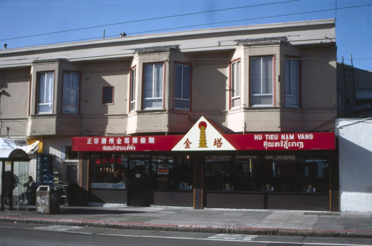
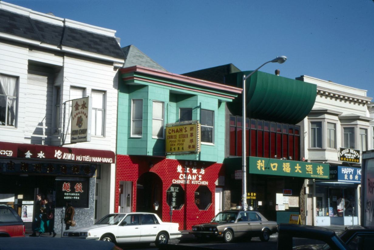
Vietnamese and Chinese restaurants lined Clement Street and its surrounding blocks. Hu Tieu Nam Vang — a Cambodian-Chinese noodle soup — was a staple dish in the neighborhood, and spots like Kim Chuy and Fook Restaurant catered to the large immigrant communities that had settled in the Richmond. For many San Franciscans, this was where you went for affordable, authentic food long before the Mission became a dining destination.
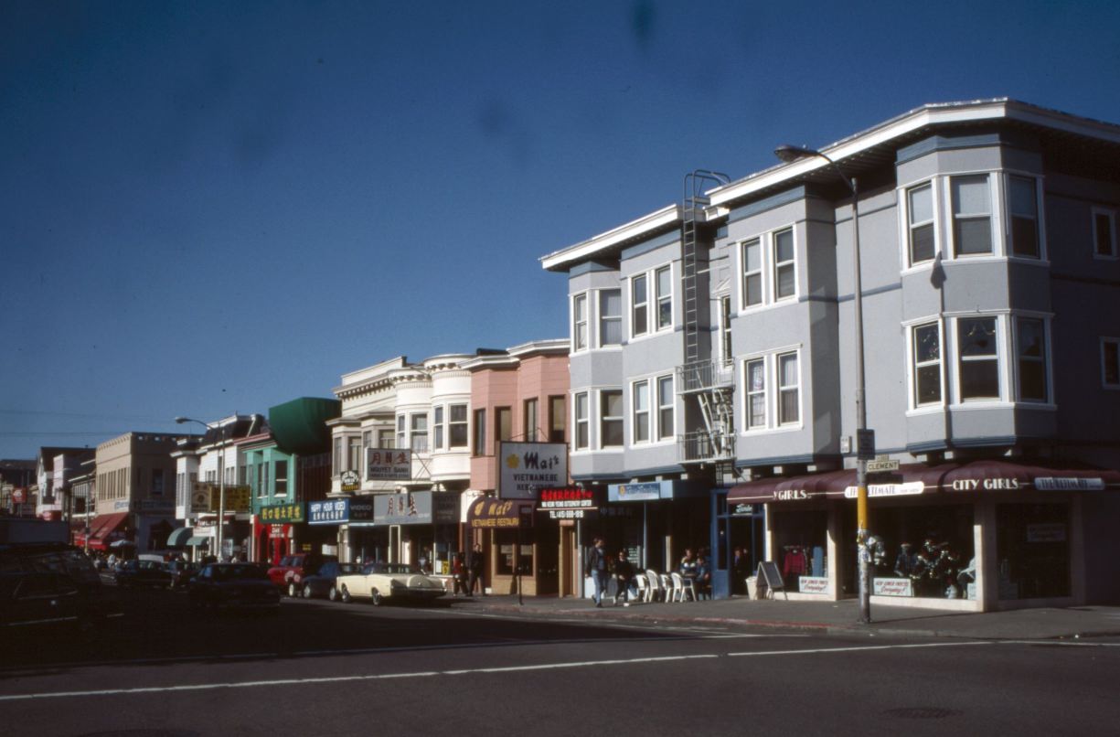
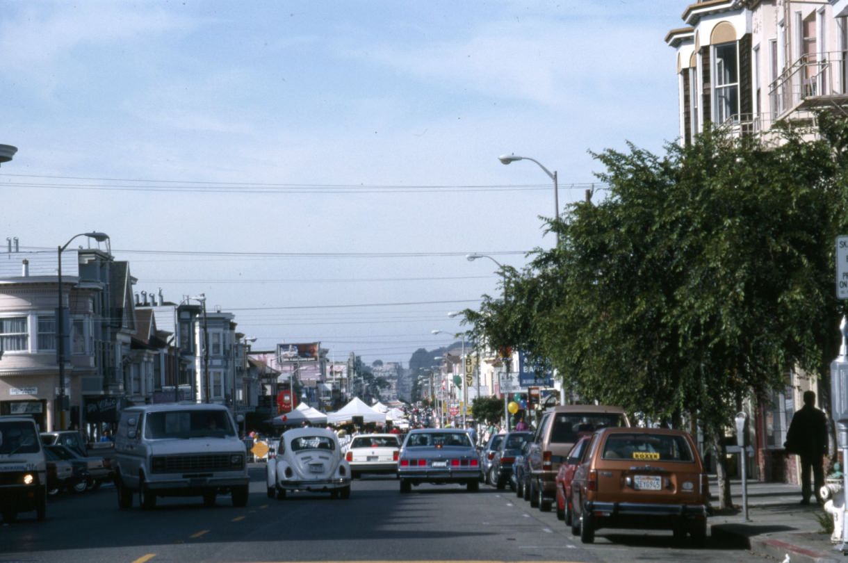
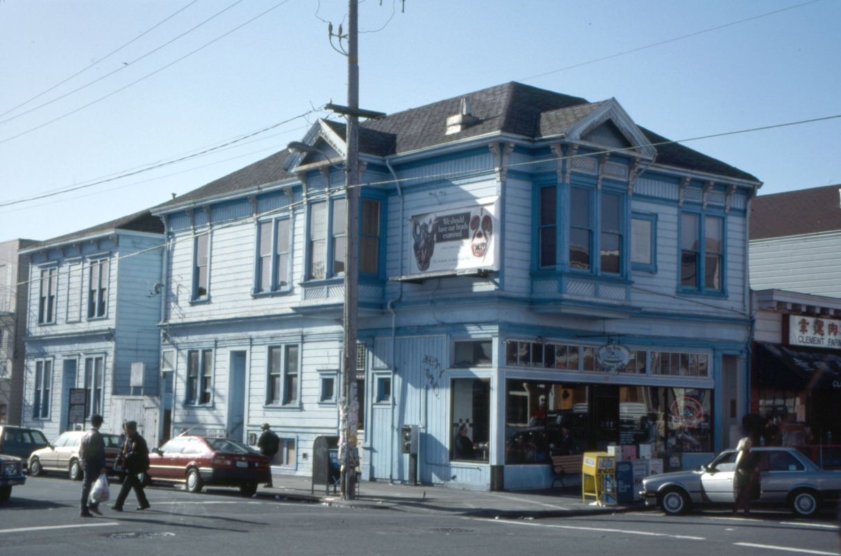
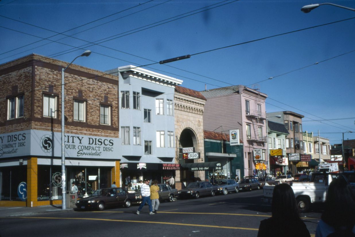
The 1990s Richmond District streetscape mixed the practical with the charming. Video rental shops sat next to Vietnamese restaurants. Record stores stood a few doors down from dessert cafes. The Toy Boat Dessert Cafe at 5th and Clement became a neighborhood institution, known for its ice cream and vintage toy collection. A few blocks west, City Discs was the kind of independent record shop that defined pre-Napster music culture.
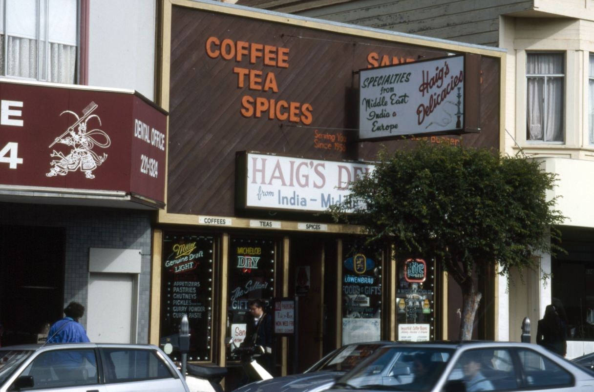
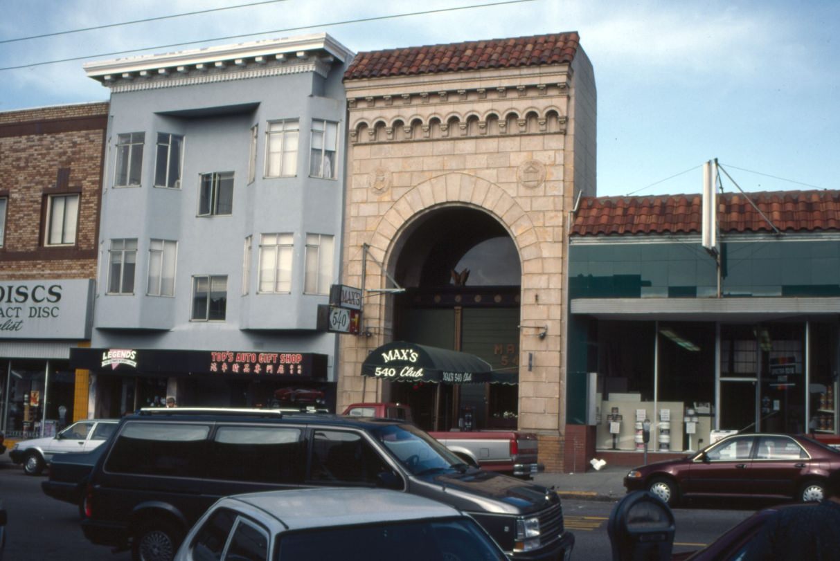
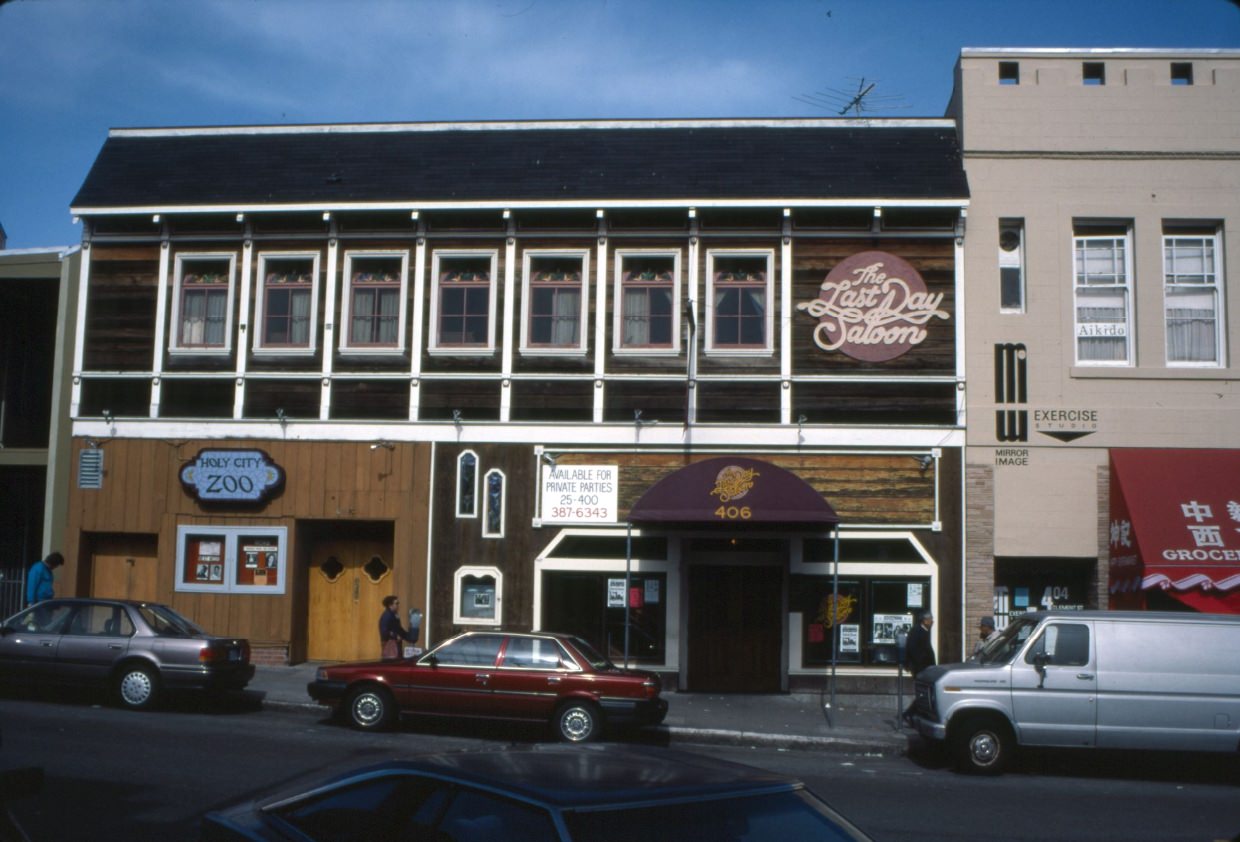
Haig’s Delicacies at 642 Clement was a beloved Armenian specialty grocery that had been operating since the 1950s. Just down the street, the Last Day Saloon and Holy City Zoo comedy club represented the neighborhood’s nightlife. The Zoo, in particular, had a long history as a launching pad for stand-up comedians in the Bay Area. By 1993, when this photo was taken, it had been a fixture of Clement Street for years.
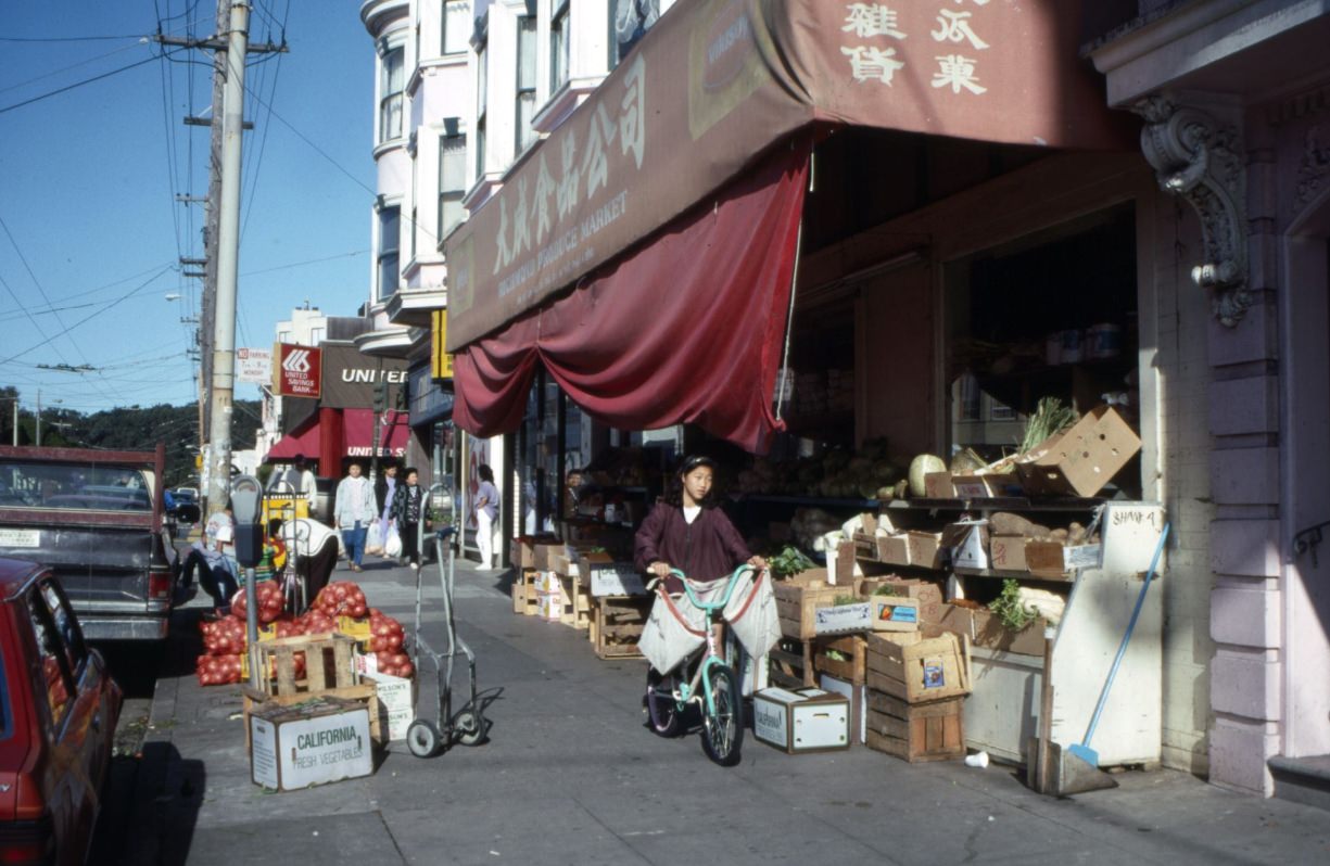
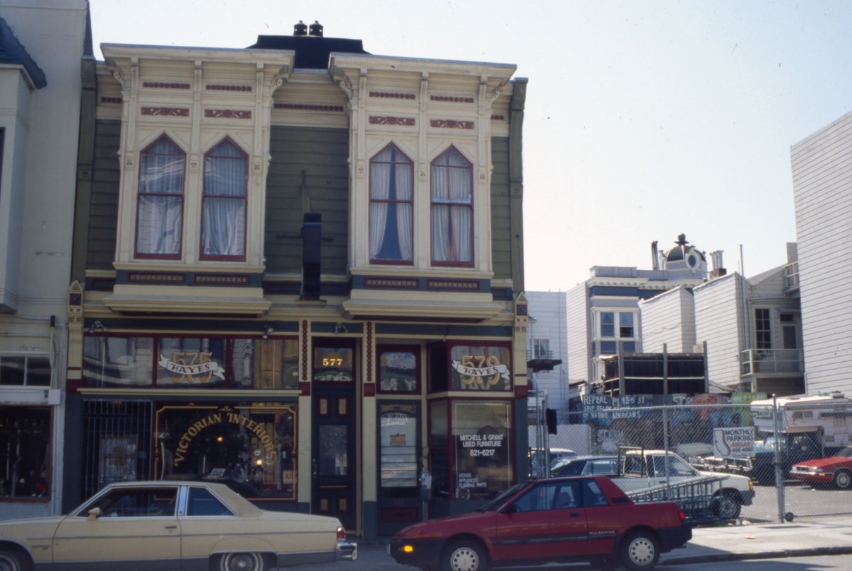
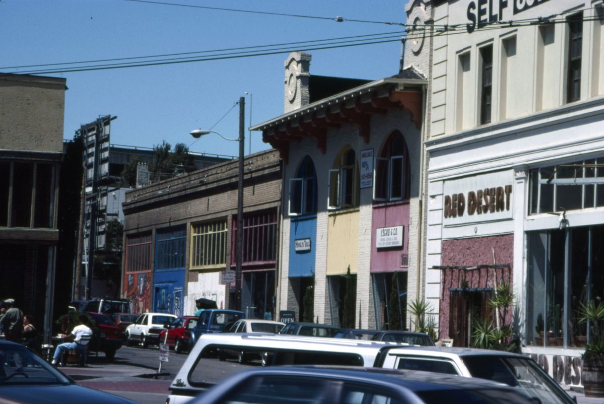
Away from Clement Street, the residential neighborhoods told a quieter story. Streets like Divisadero, Hayes, and Mission showed a working-class city that was beginning to feel the pressure of rising costs. The neighborhoods south of the Panhandle — Hayes Valley, the Lower Haight, and NoPa — were in a state of flux. The Central Freeway, which had sliced through Hayes Valley for decades, was damaged in the 1989 earthquake and was being slowly demolished throughout the early 1990s.
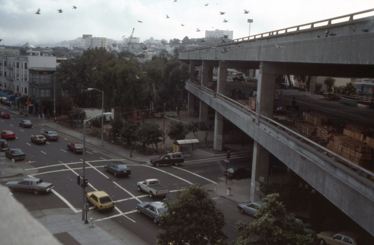
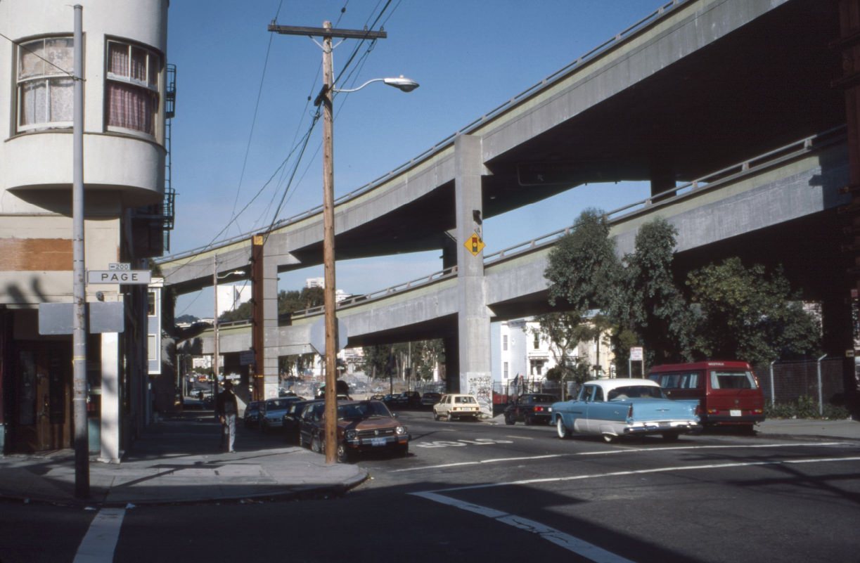
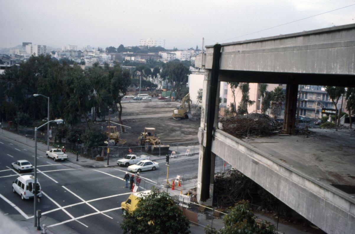
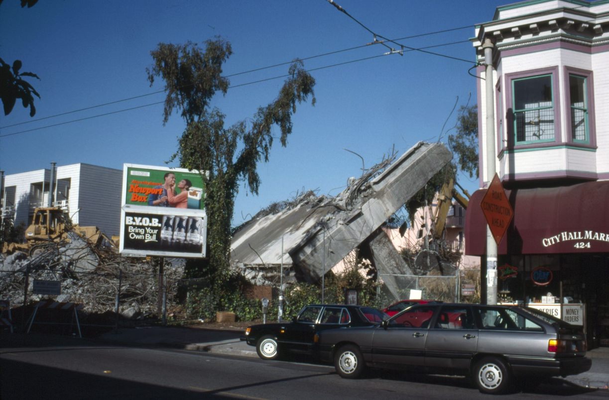
The demolition of the Central Freeway was one of the most visible urban changes in early-1990s San Francisco. The structure had cast a shadow over Hayes Valley for decades, suppressing property values and cutting the neighborhood off from the rest of the city. As sections came down, land was freed up and the neighborhood began to reinvent itself. By the mid-1990s, new businesses were moving into Hayes Street storefronts.
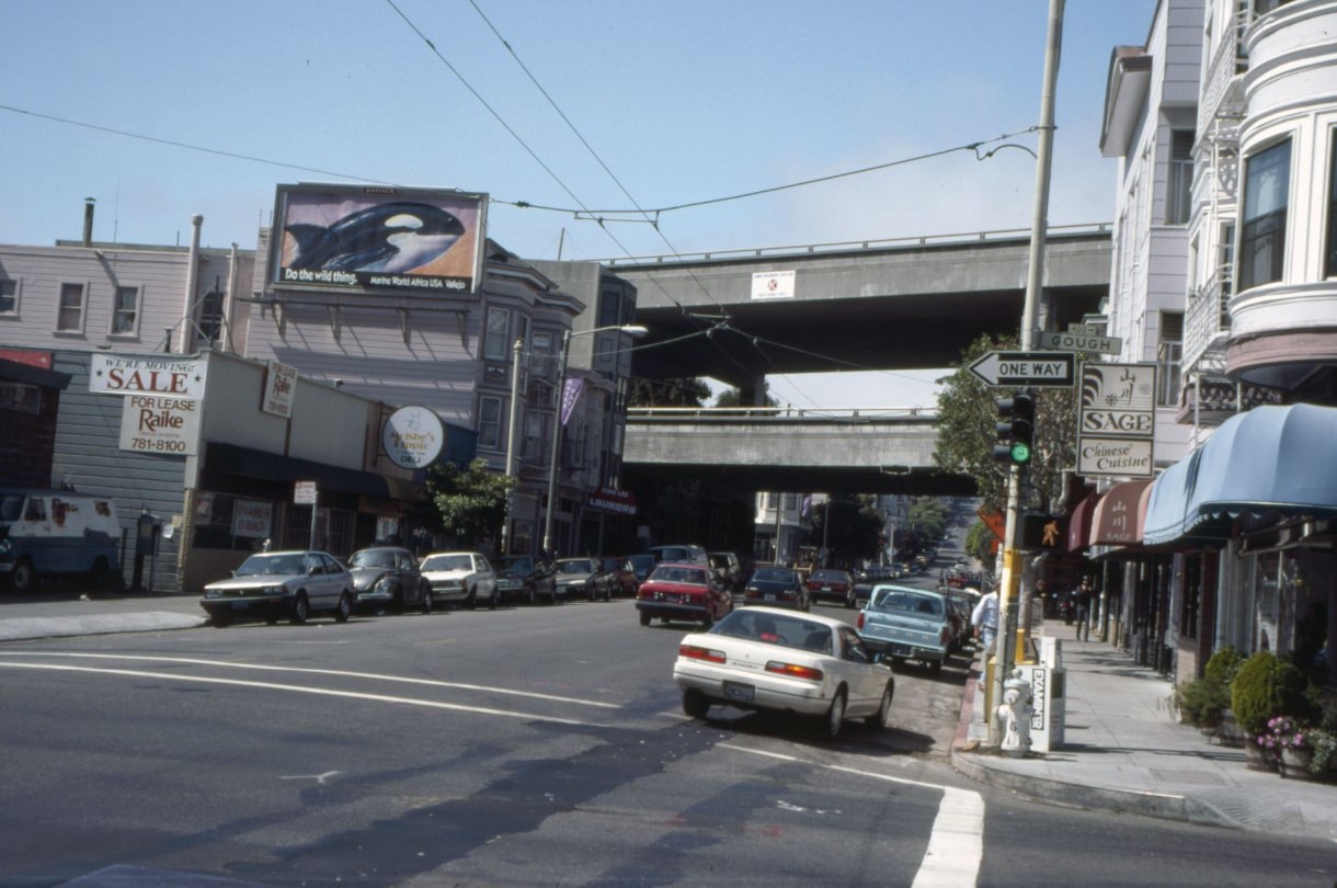
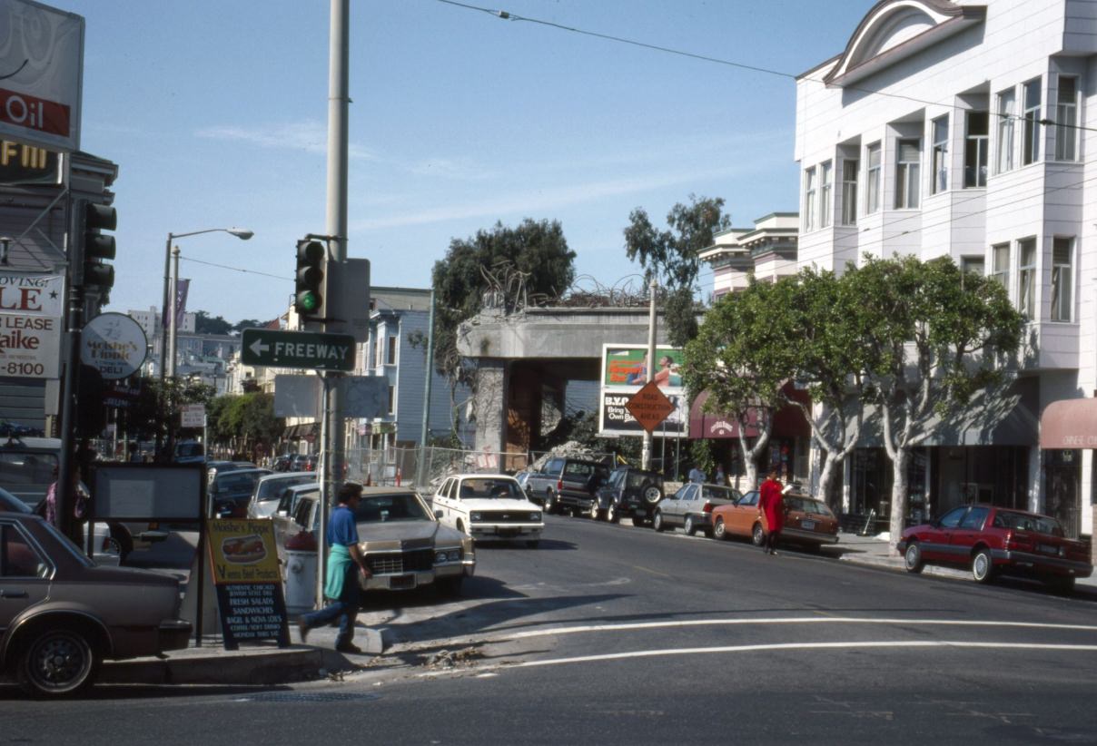
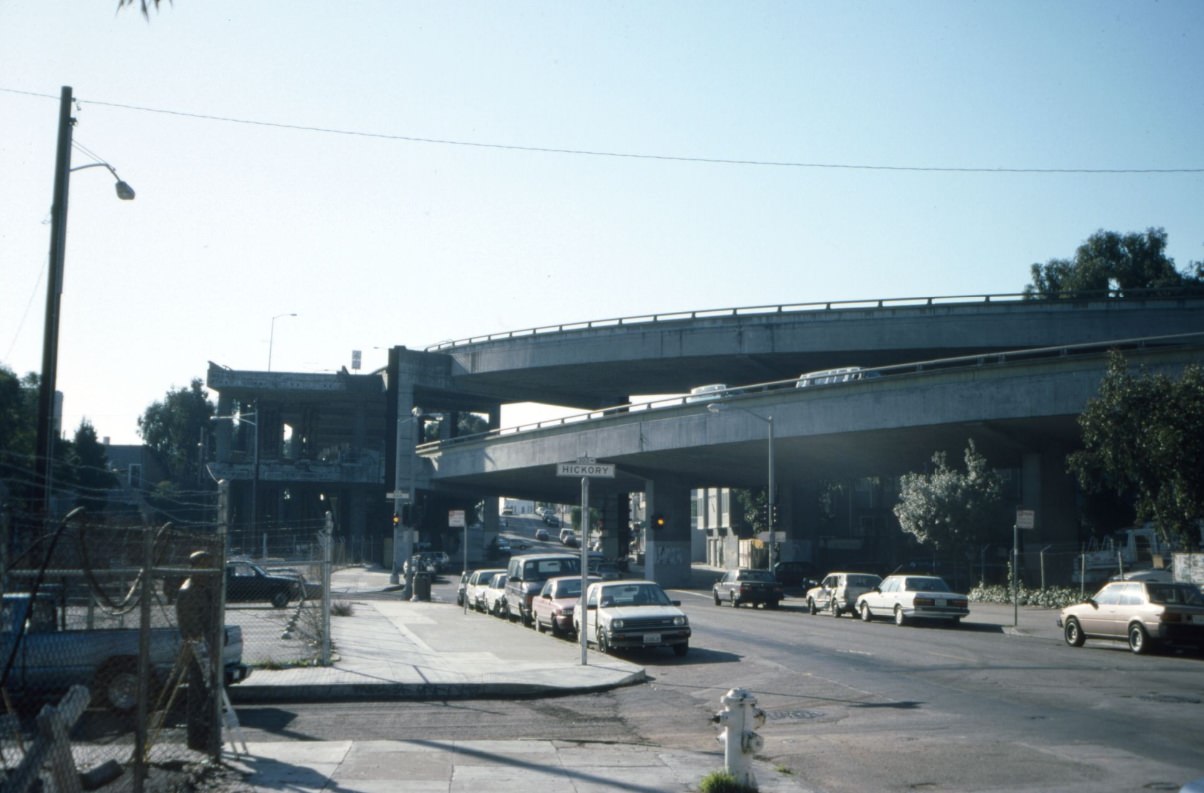
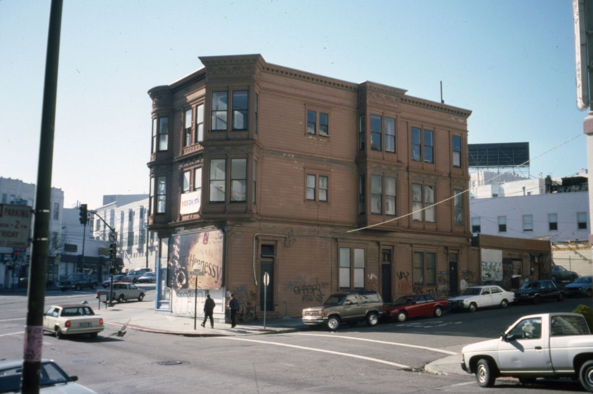
Even with sections of the freeway gone, the remnants still loomed over the streets below. The intersection of Octavia and Hickory in 1994 shows how large the freeway’s footprint was in relation to the neighborhood. These blocks would eventually become part of the Hayes Valley that exists today — boutiques, restaurants, and the Patricia’s Green park — but in the early 1990s, they were still in transition.
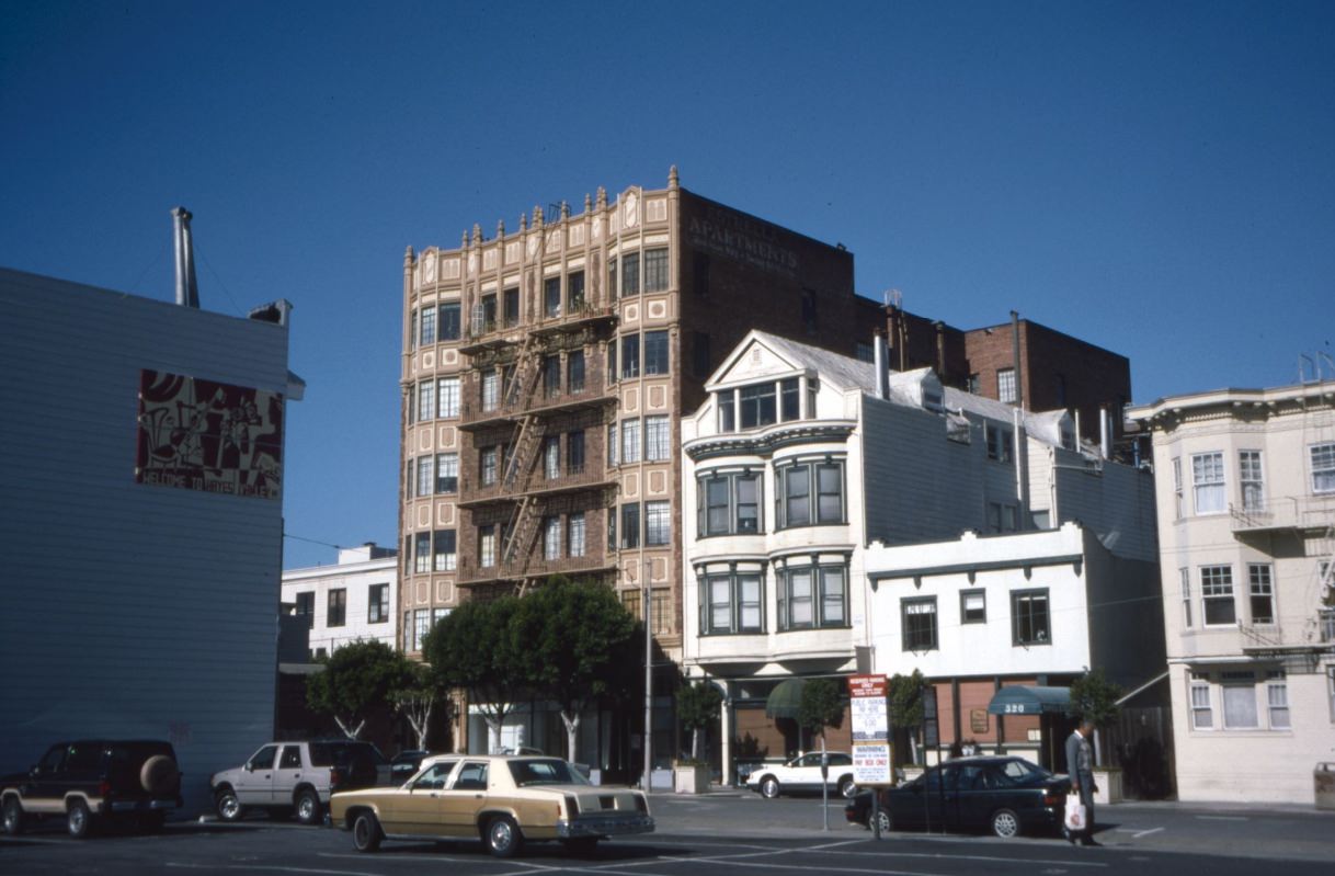
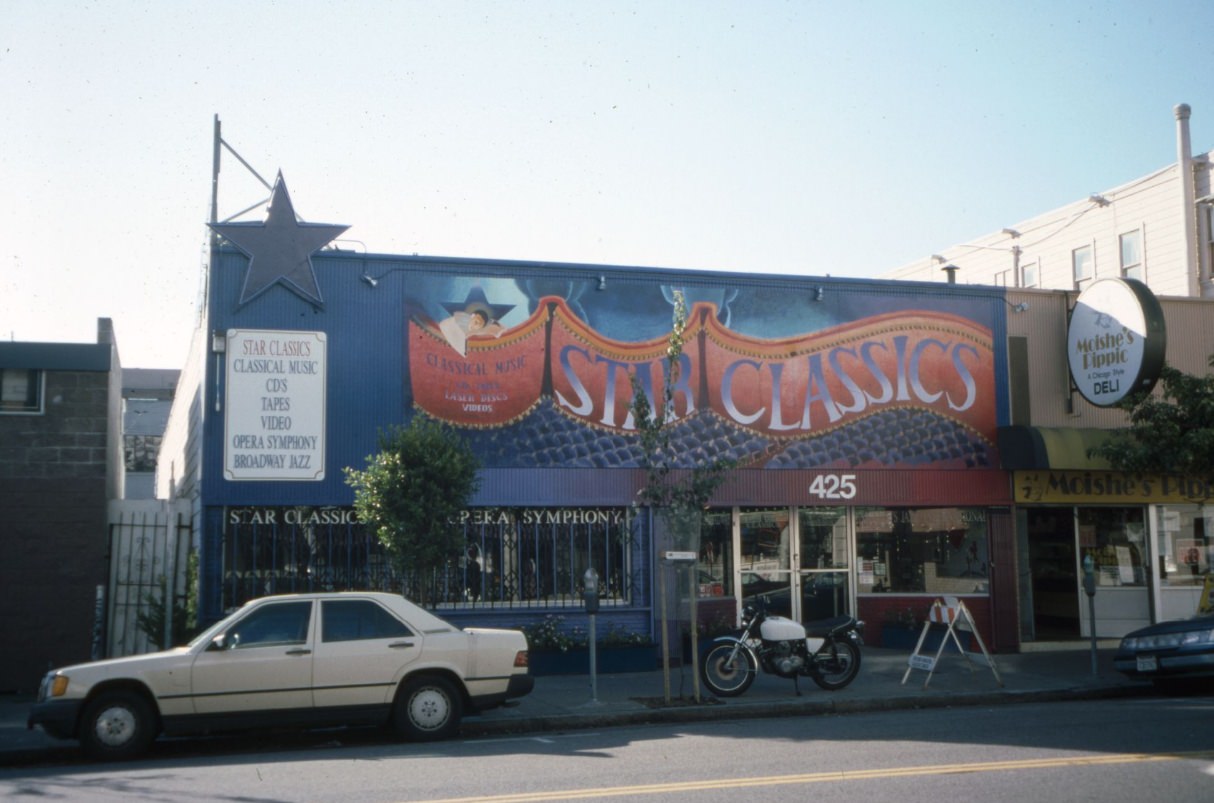
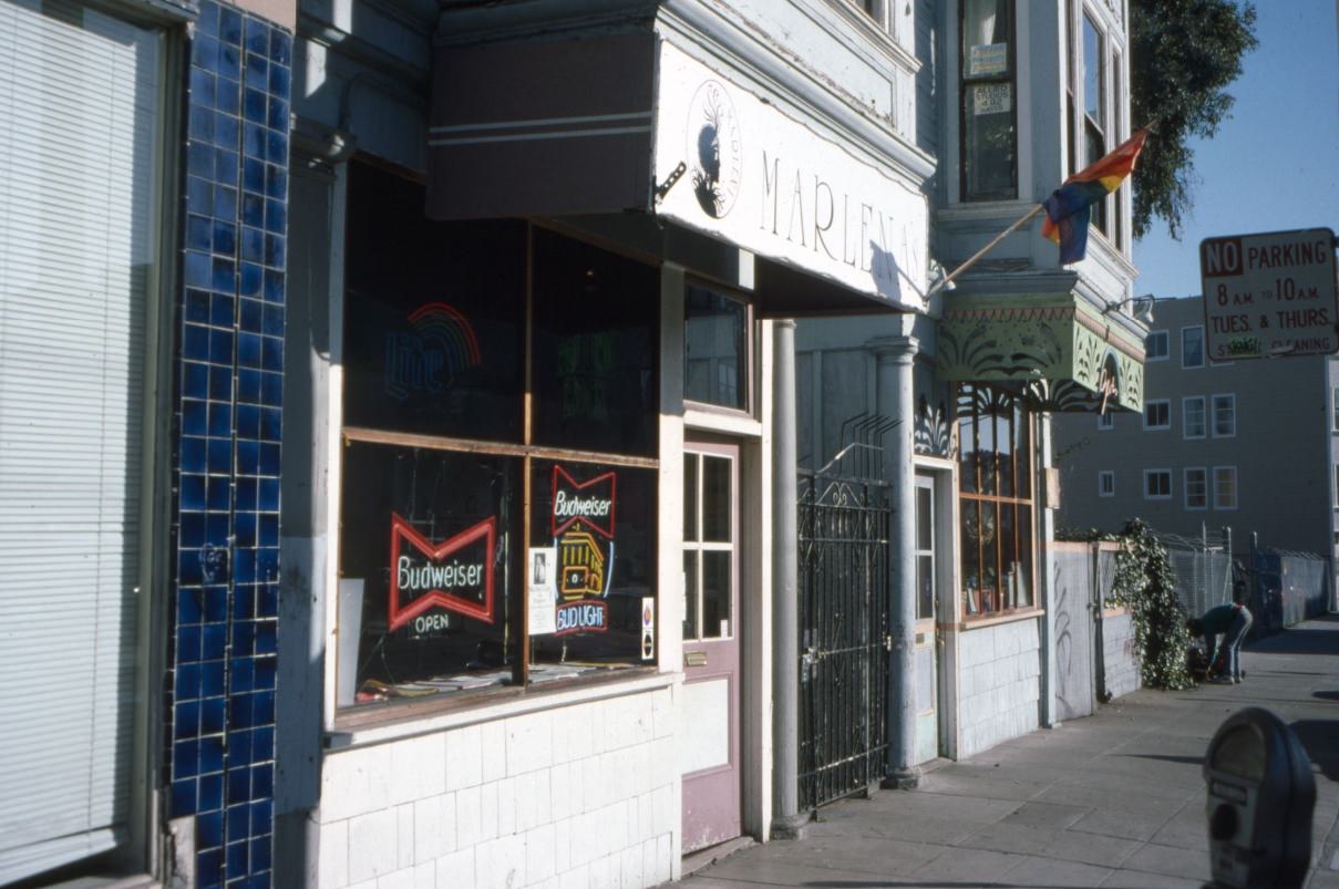
By 1994, Hayes Street was already showing signs of the gentrification that would accelerate later in the decade. Star Classics and small bars like Marlena’s were among the early businesses that moved into the corridor as the freeway came down. Divisadero Street, running north-south through the Western Addition, was in a similar state — a mix of longtime businesses, auto shops, and churches sitting alongside newer arrivals.
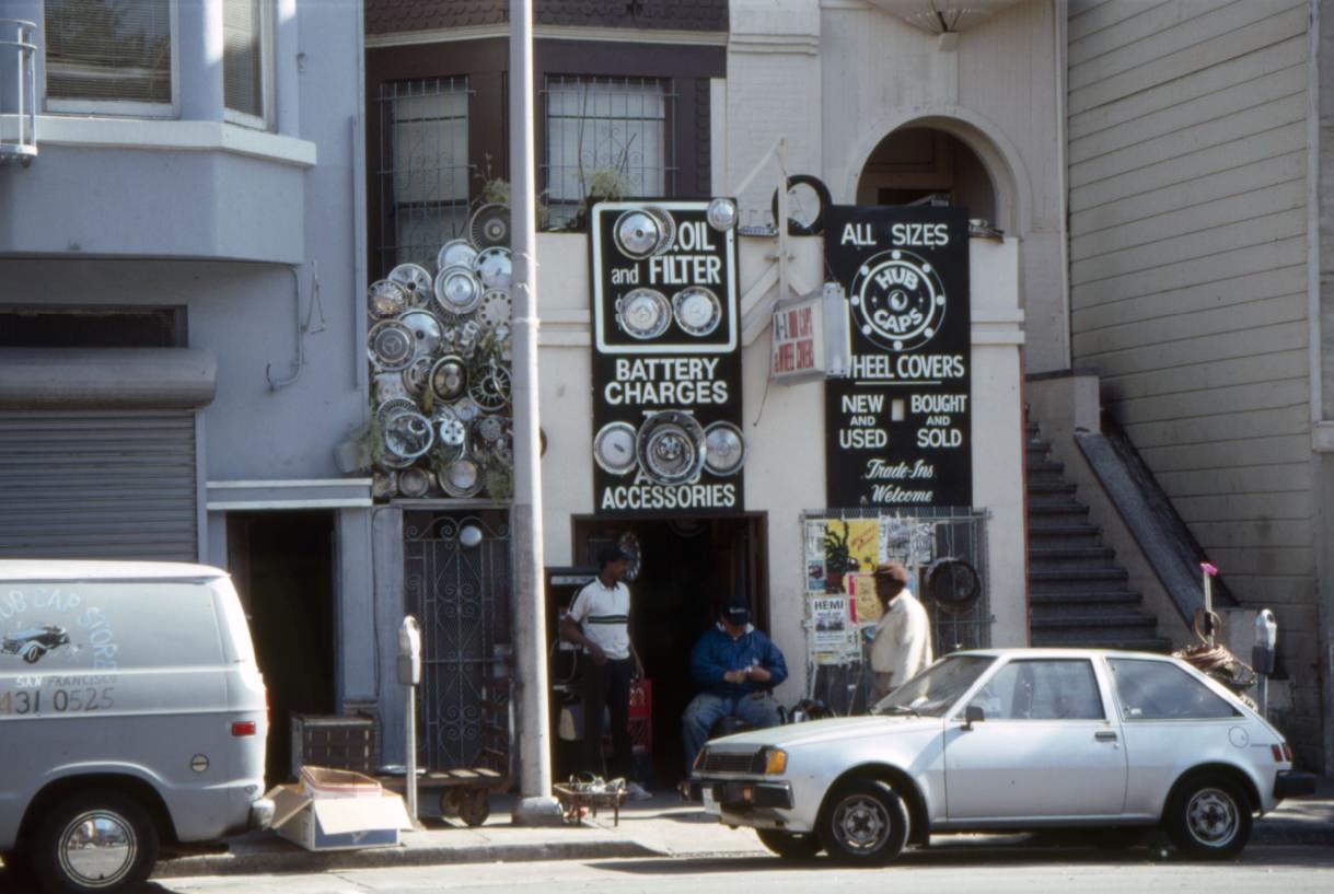
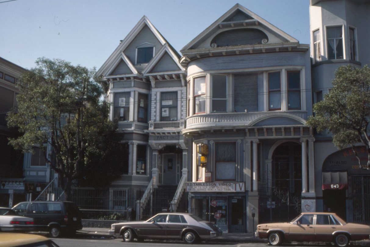
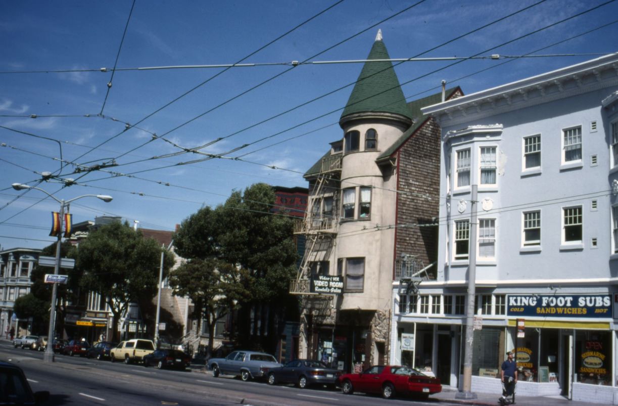
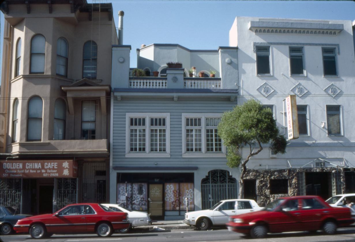
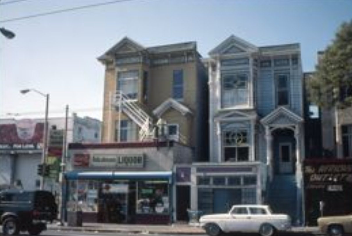
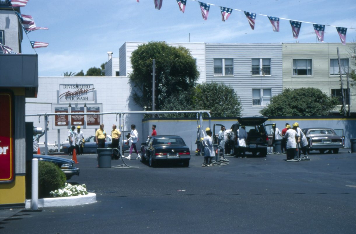
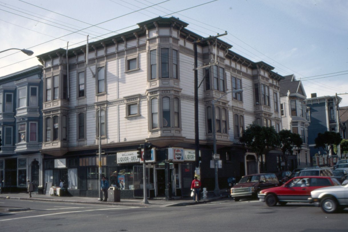
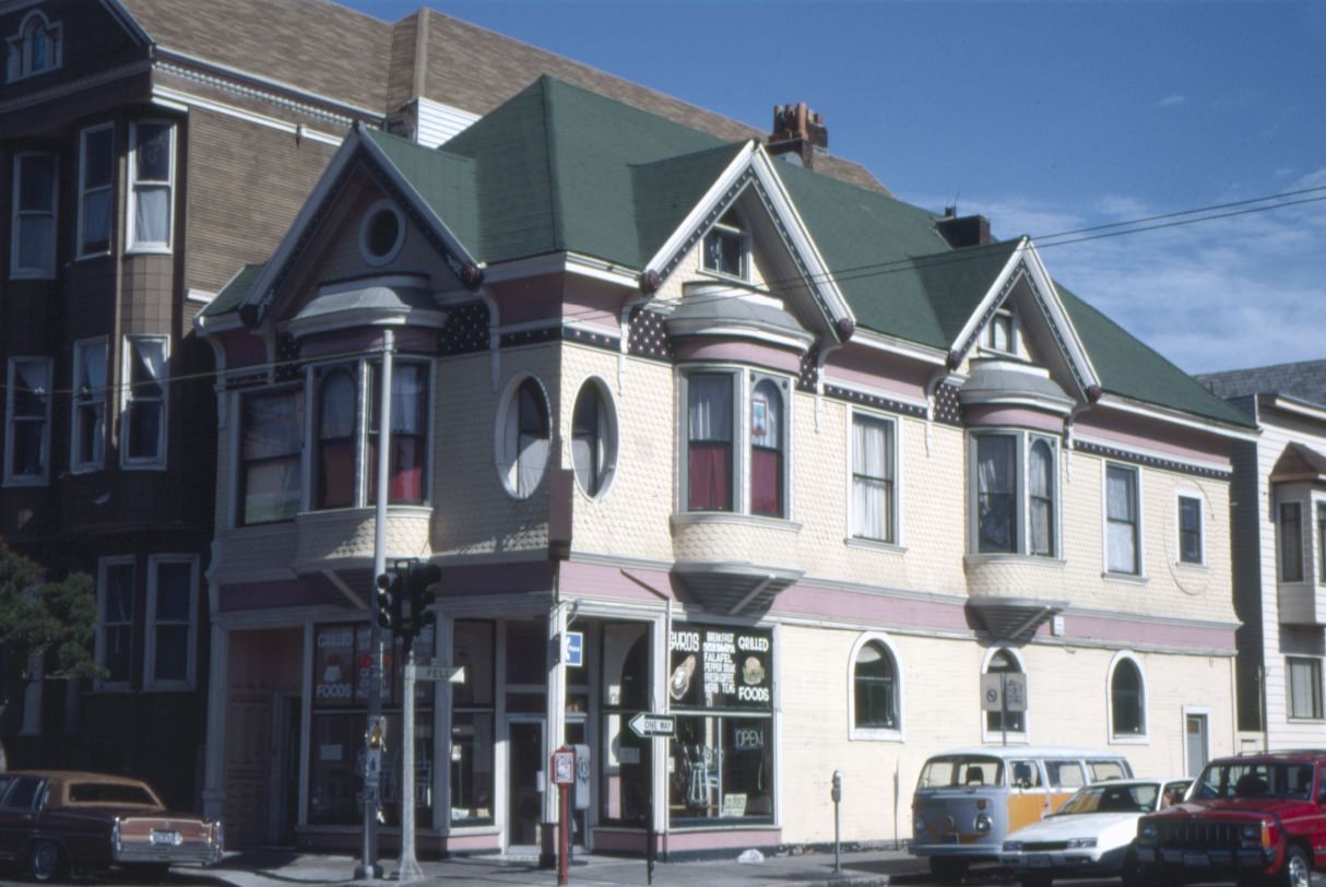
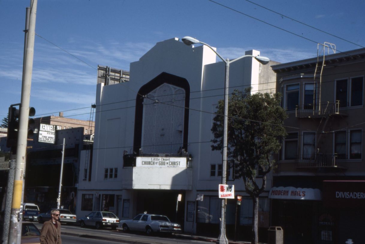
Divisadero in the early 1990s was still largely the neighborhood it had been for decades — a working street with auto shops, laundromats, churches, and corner stores. The Little Chapel, Church of God in Christ at 616 Divisadero reflected the African American community that had deep roots in the Western Addition going back to World War II. That community was already being displaced by rising rents, and the faces of streets like Divisadero were changing year by year.
Mission Street, further south, was a major commercial corridor running through the Latino heart of the city. In the early 1990s, it was lined with taquerias, theaters, discount stores, and markets serving the working-class Mexican and Central American communities of the Mission District.
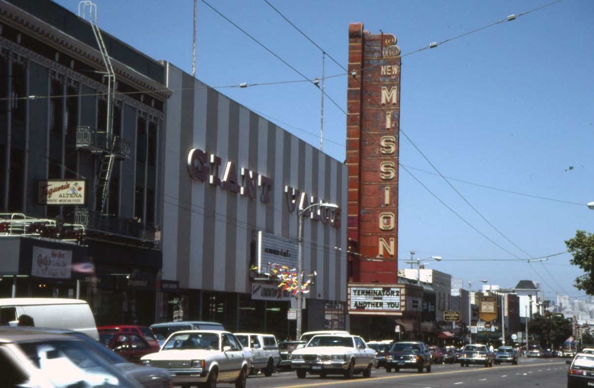
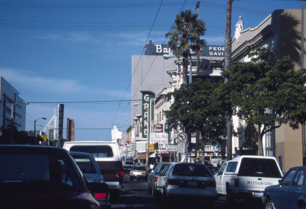
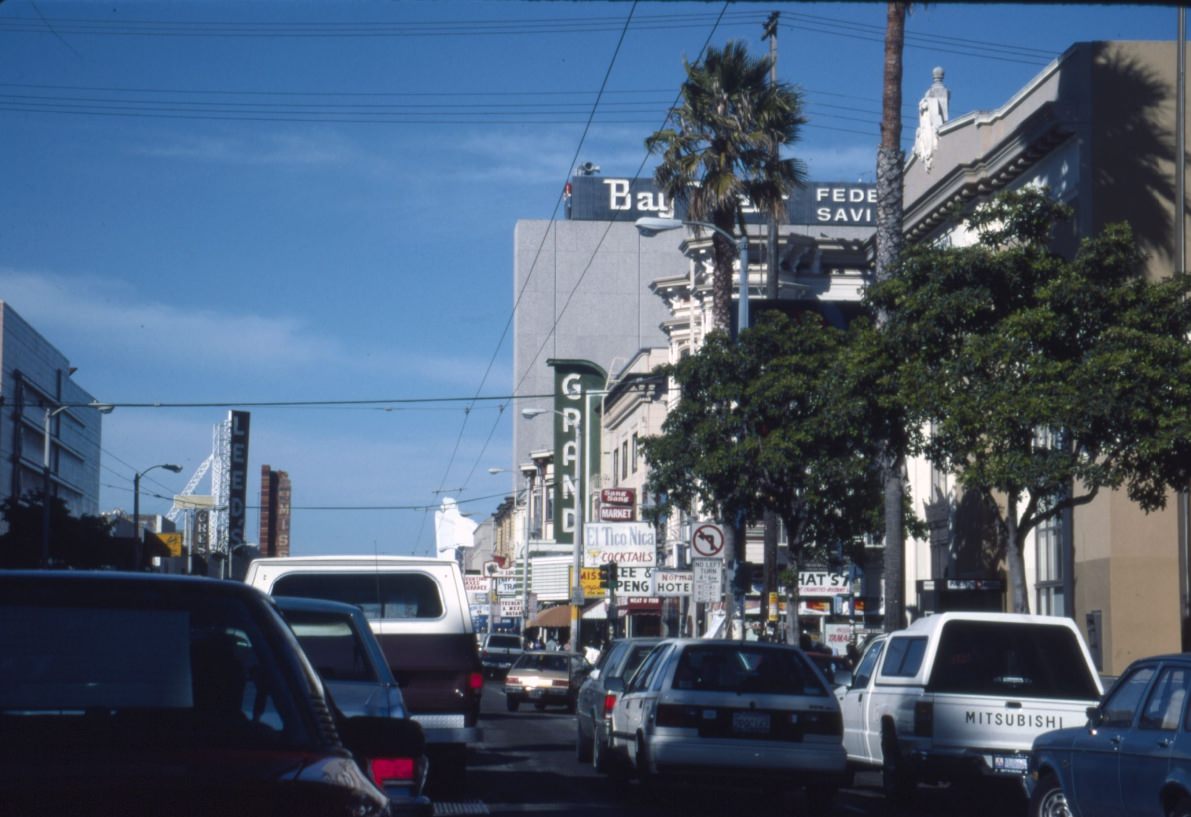
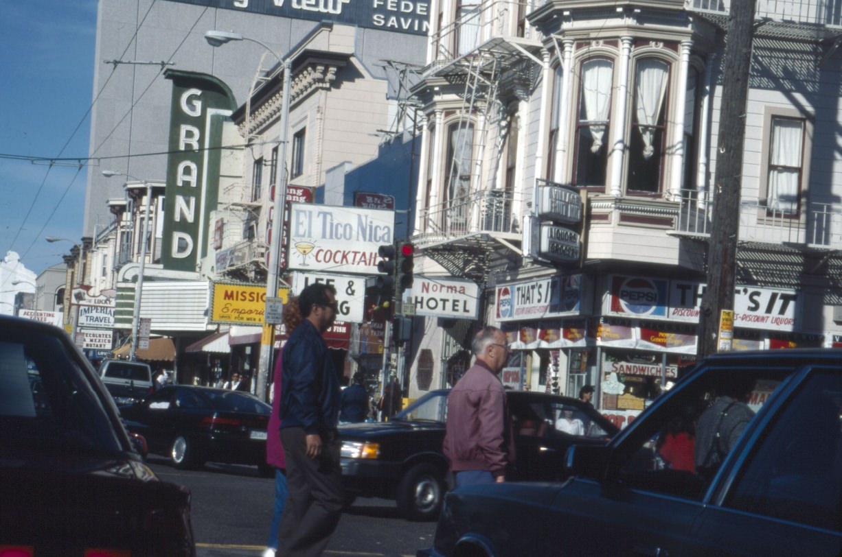
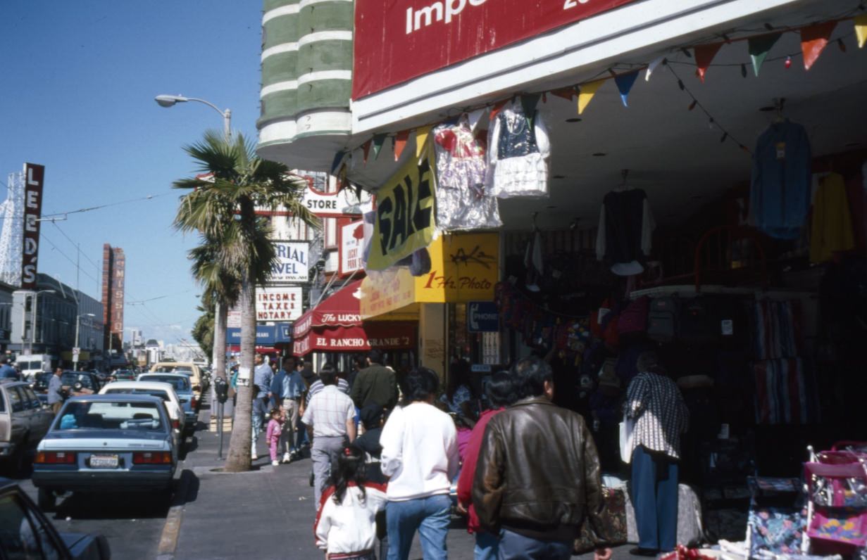
The New Mission Theatre on Mission Street was one of several grand old movie houses that had survived in the neighborhood. Nearby, taquerias like Alteña and discount shops like Giant Value gave Mission Street its distinctive character. By the mid-1990s, the tech boom was beginning to push into the Mission, but in 1991, these blocks still belonged firmly to the community that had shaped them for decades.
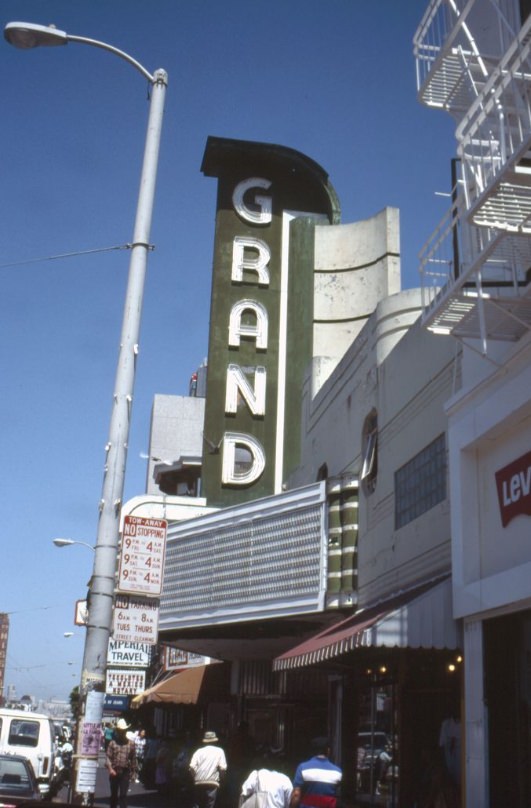
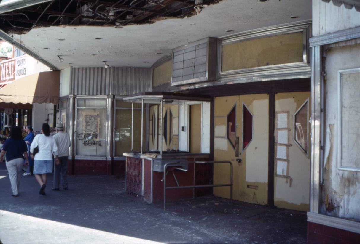
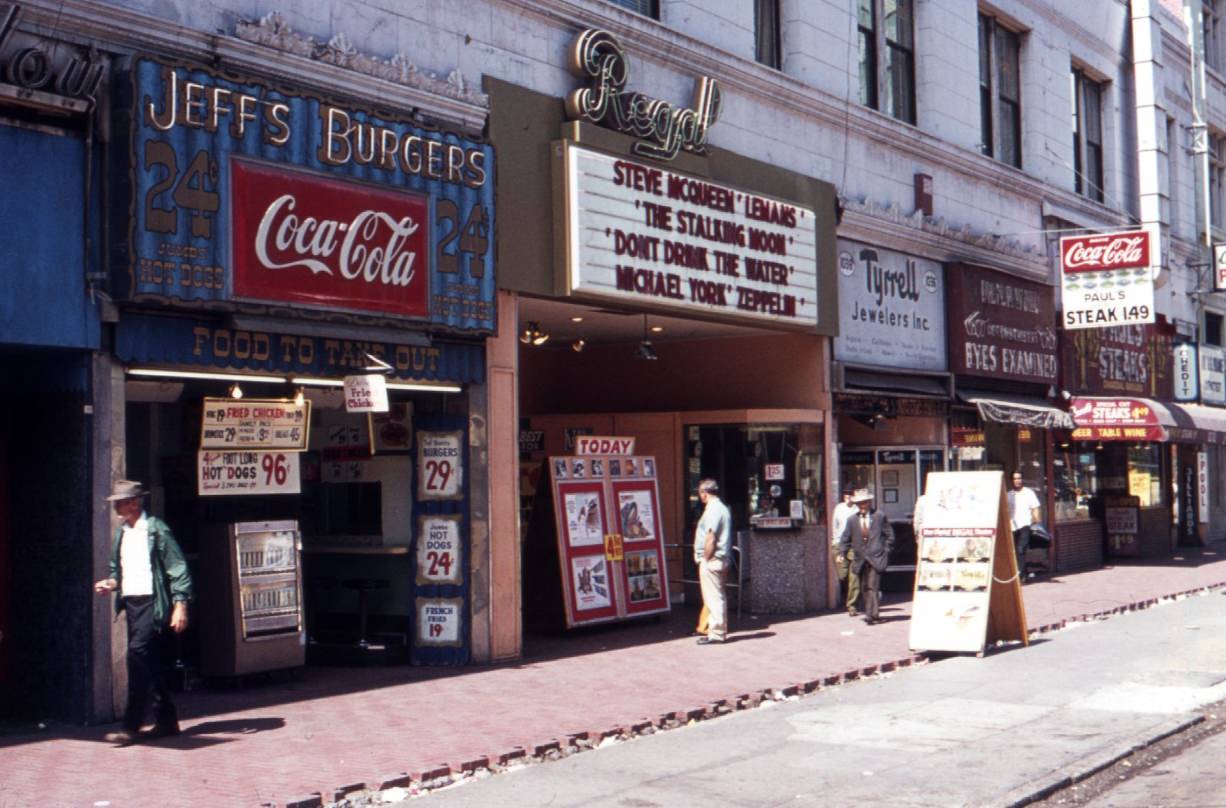
The Grand Theater at 2665 Mission Street was another relic of the neighborhood’s earlier era. Movie palaces like the Grand had once been packed on weekends. By 1991, many of them were struggling to stay open or had already changed their programming to survive. Across town, the Regal Theater on Market Street faced similar pressures.
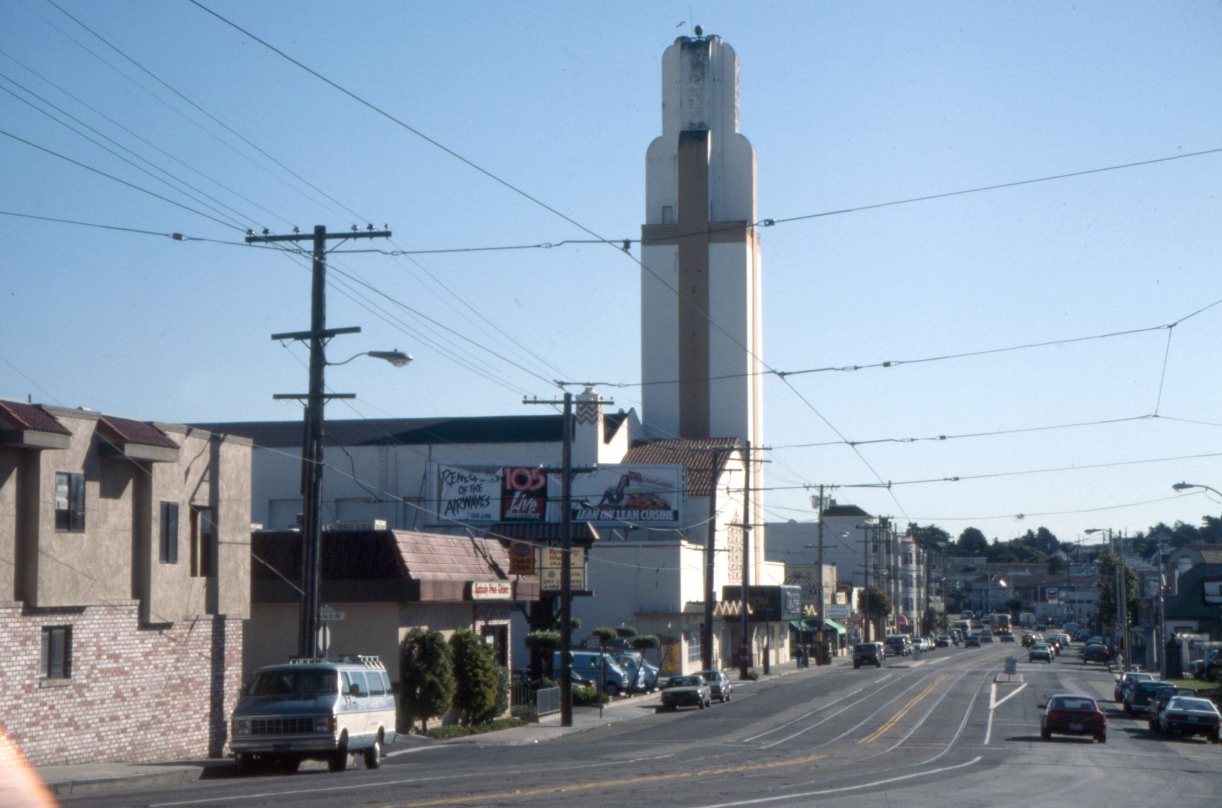
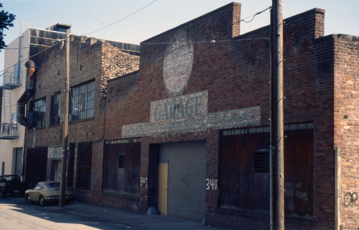
The El Rey Theater on Mission had already been converted into the Voice of the Pentecost Church by 1990, a common fate for neighborhood movie houses during this era. The bones of the old theater were still visible behind the new signage — a reminder of what the block had once been. Meanwhile, in the South of Market area, the old industrial waterfront near 20th Street and Illinois was still visibly tied to its shipyard past.
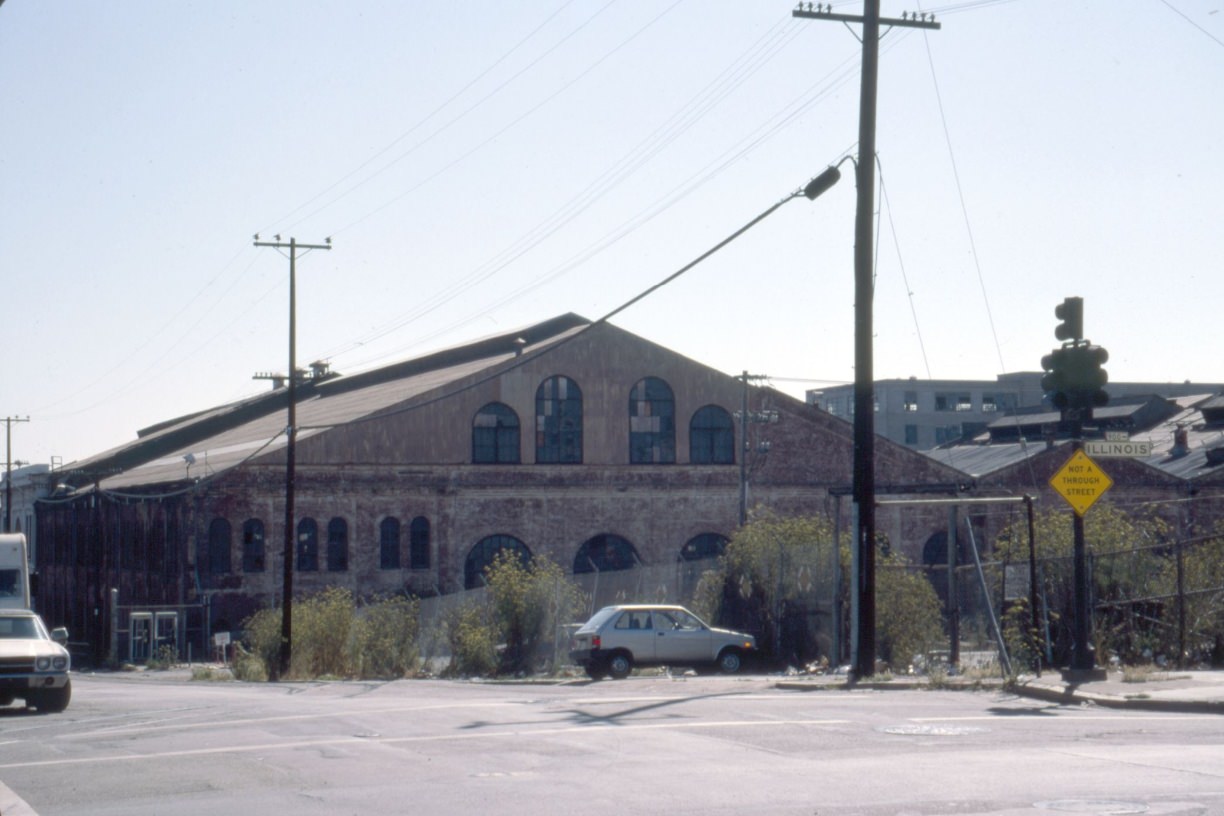
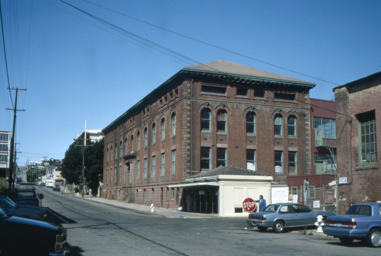
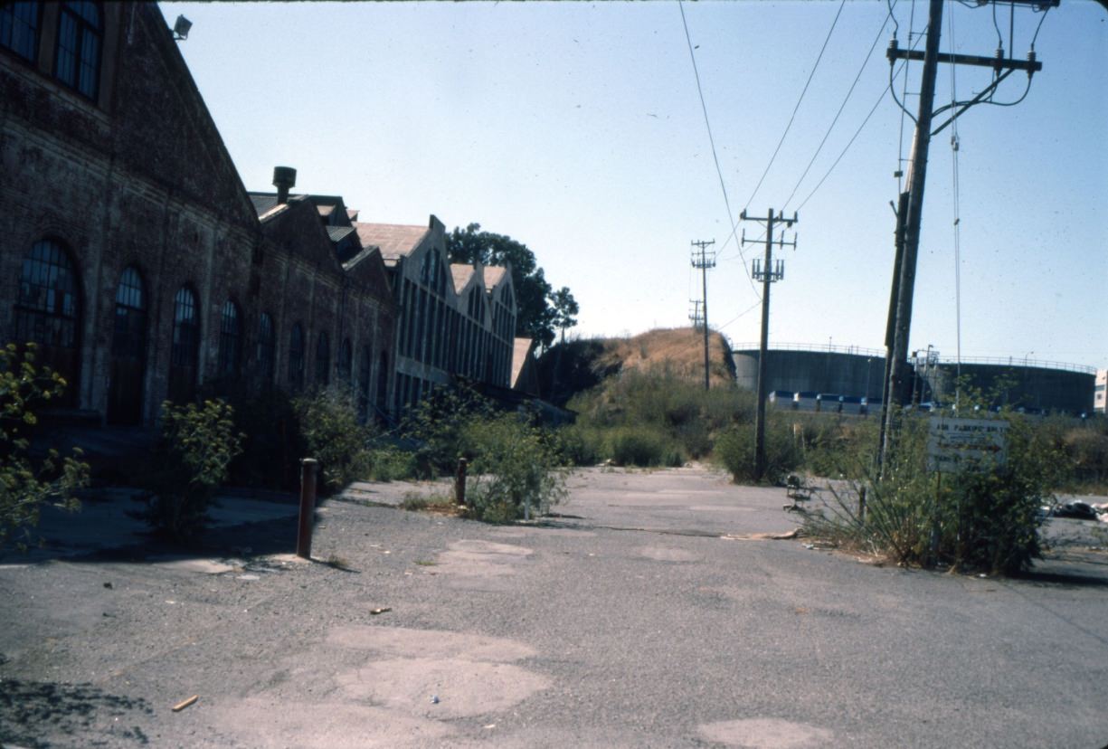
The Potrero Hill waterfront near 20th and Illinois was once home to the Union Iron Works shipyard, which had built naval vessels since the 1880s. By 1994, the shipyard’s industrial infrastructure was still standing but the area was in transition. Irish Hill, a small rise behind the shipyard, was one of the last remnants of the neighborhood’s working-class Irish community. The land around it would eventually be redeveloped into what is now the Mission Bay biotech campus.
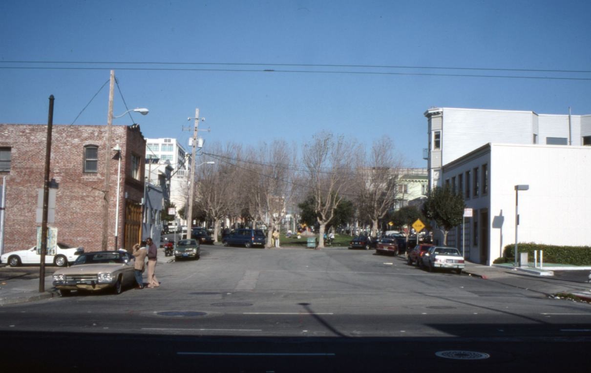
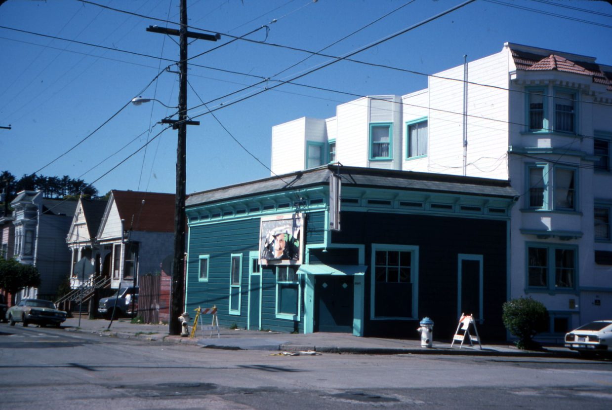
South Park, a small oval-shaped park tucked between 2nd and 3rd Streets in SoMa, was quiet in 1990. Within a few years, it would become one of the first addresses of San Francisco’s multimedia and internet startup scene. The cafes and small offices ringing the park would host early web companies in the mid-1990s, earning the area the nickname “Multimedia Gulch.” But in this photo, it still looks like a forgotten backwater.
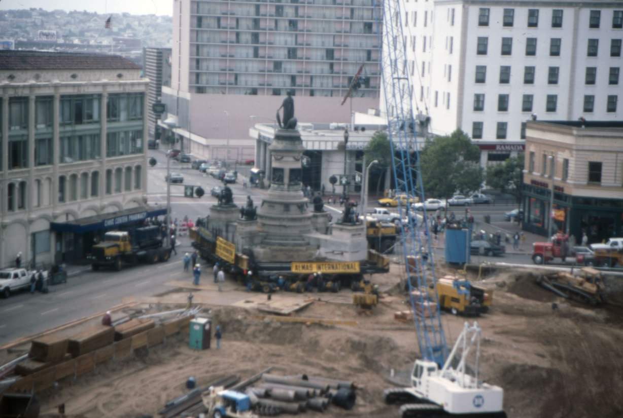
Civic and institutional life was also changing. The city was building a new Main Library on Civic Center Plaza, which meant relocating the Pioneer Monument that had stood on the site since 1894. The monument — a large bronze sculpture depicting early California history — was carefully moved in 1993 to make way for construction.
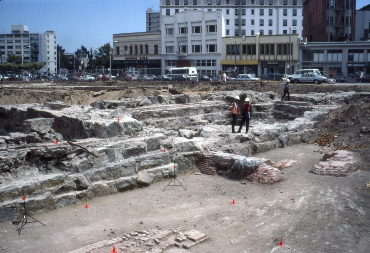
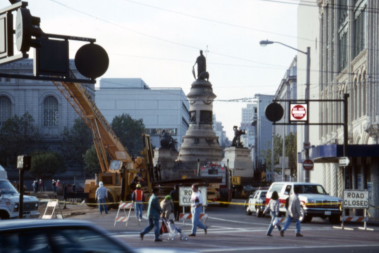
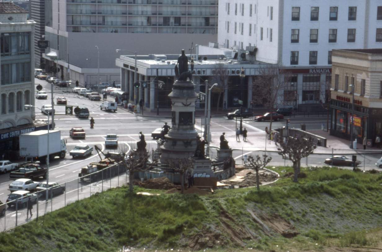
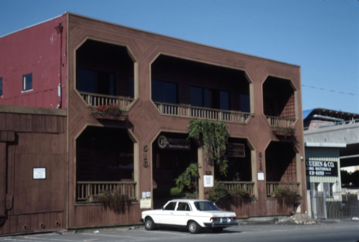
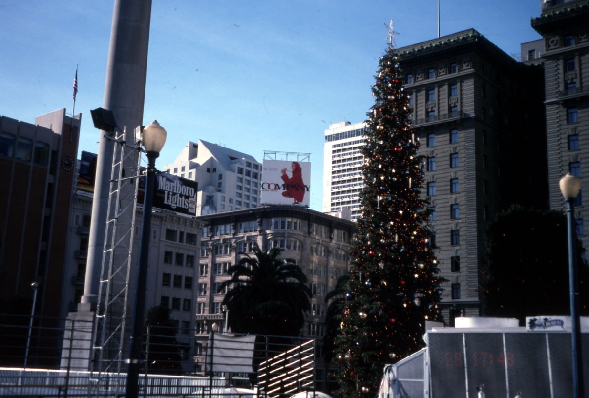
The new San Francisco Main Library opened in 1996 at the corner of Larkin and Fulton. The construction site on Grove Street, visible in the 1992 photo, was a major civic project for the city. Nearby at Union Square, the city added a seasonal ice skating rink in the mid-1990s, giving the commercial center a new wintertime attraction.
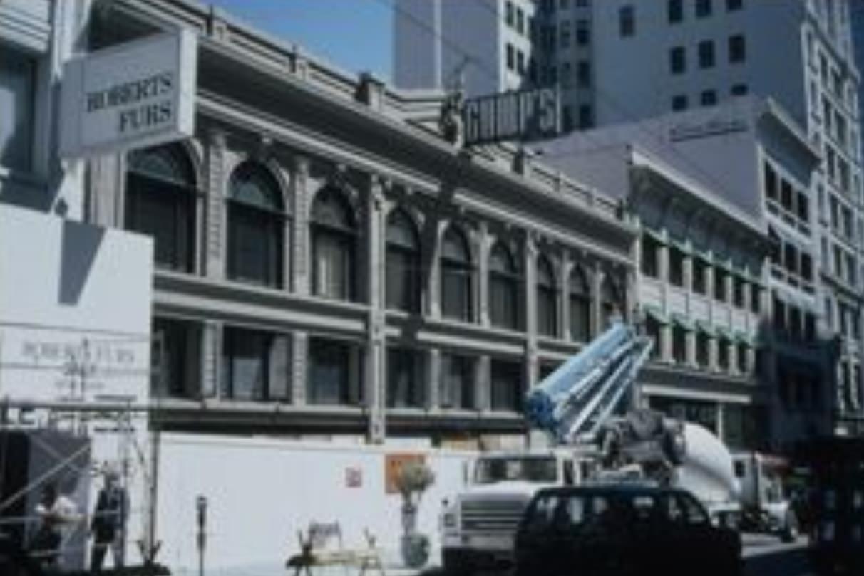
Not all of the decade’s changes were about new construction. Some of it was about loss. Gump’s, the legendary luxury retailer at 250 Post Street that had been a San Francisco institution since 1861, closed its doors in 1994 after filing for bankruptcy. The closed storefront on Post Street marked the end of an era for the city’s high-end retail scene.
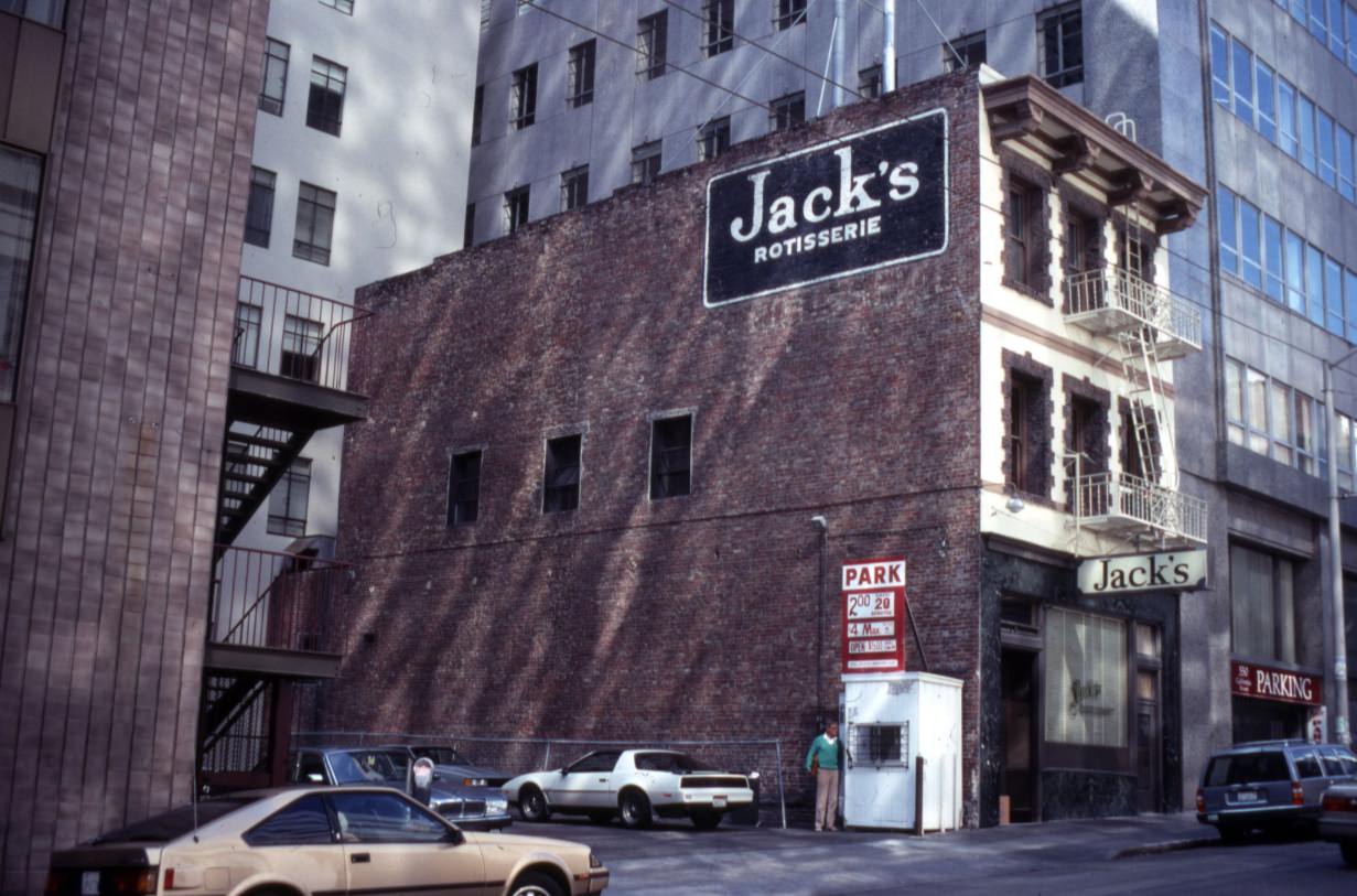
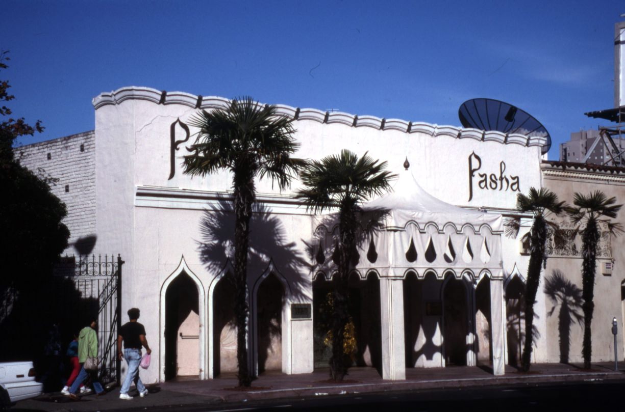
The restaurant scene was similarly layered. Jack’s Restaurant at 615 Sacramento was one of San Francisco’s oldest dining establishments, open since 1864. In 1991, when this photo was taken, it was still operating, though it would close later in the decade. The Pasha Restaurant at Broadway and Polk represented the city’s more eclectic dining culture — a belly dancing dinner theater that had been a North Beach fixture since the 1970s.
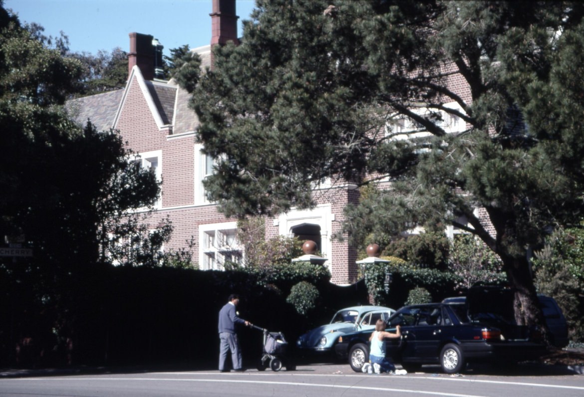
The residential streets captured in these photos show the architectural diversity that still defined San Francisco neighborhoods before the tech economy fully homogenized them. Victorian and Edwardian homes on streets like Green, Jackson, Walnut, and Corbett Avenue sat largely unchanged from earlier decades. Alamo Square, home to the famous “Painted Ladies” row of Victorian houses, was already well-known but not yet the tourist magnet it would become.
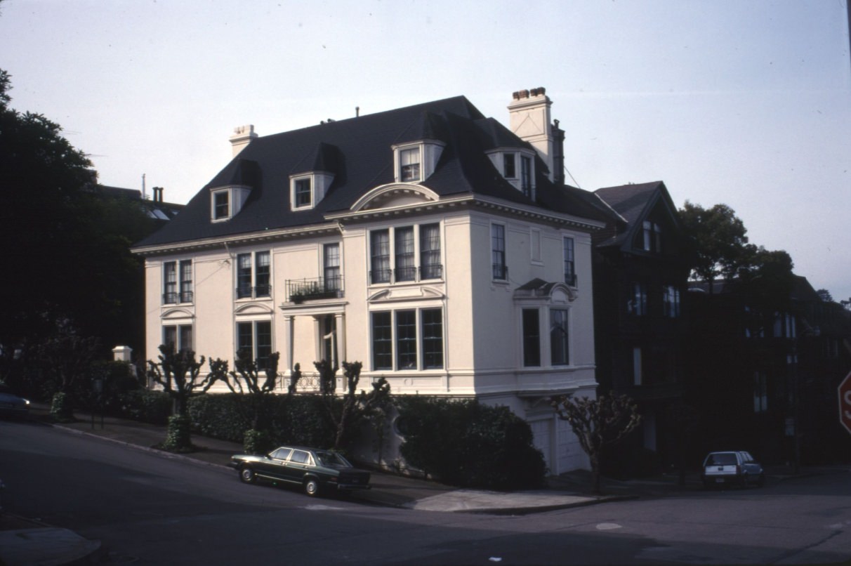
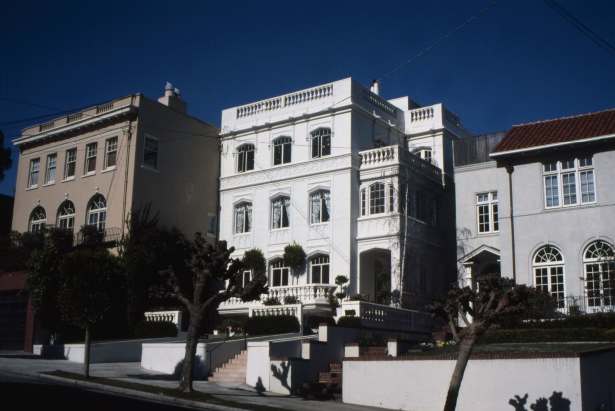
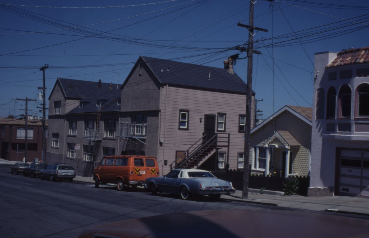
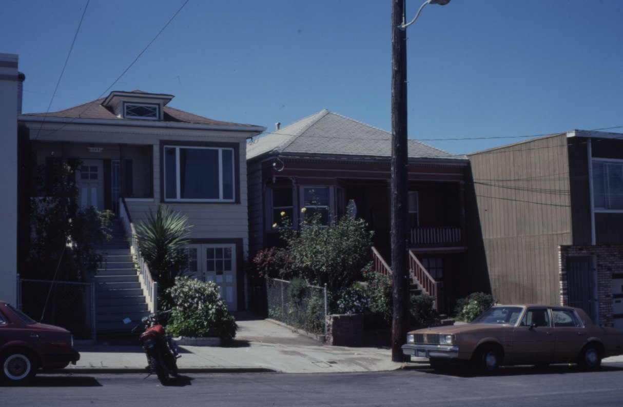
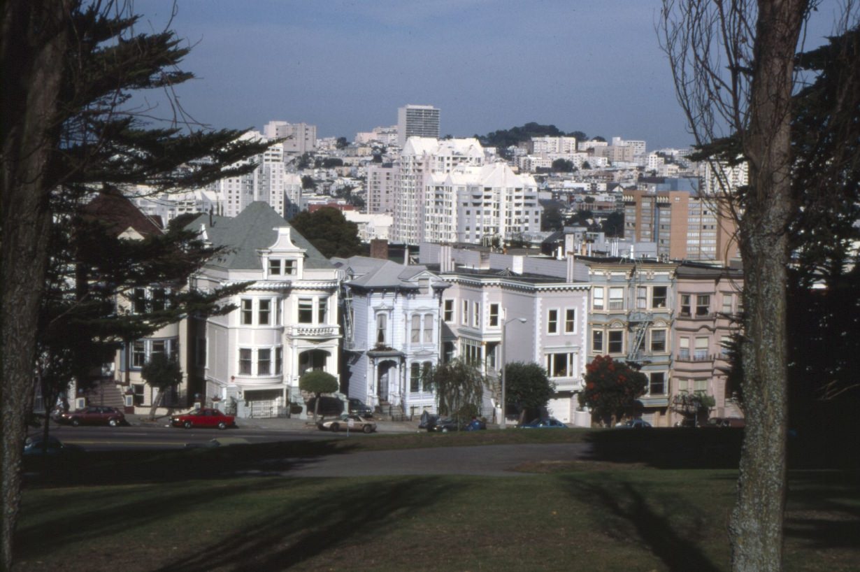
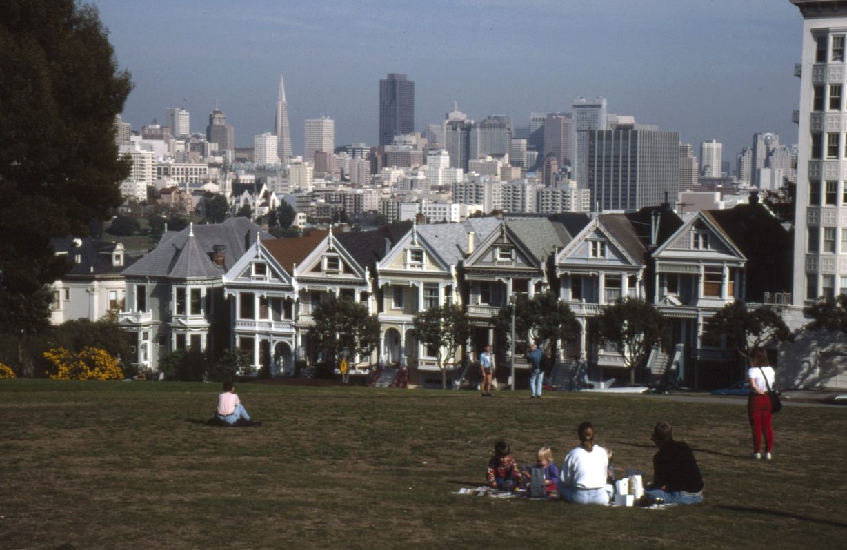
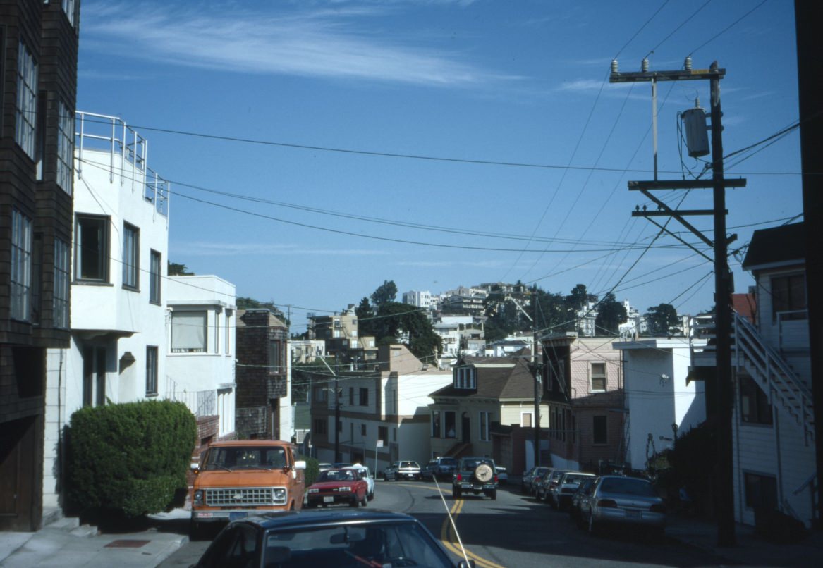
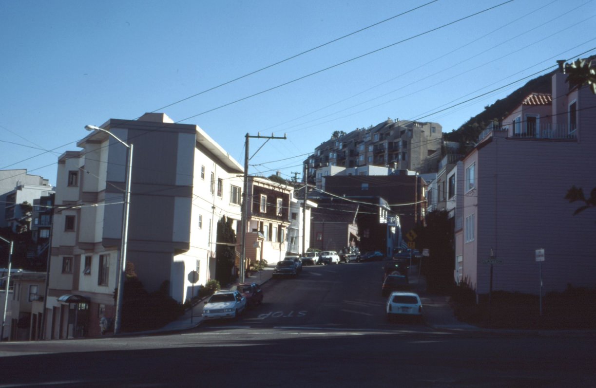
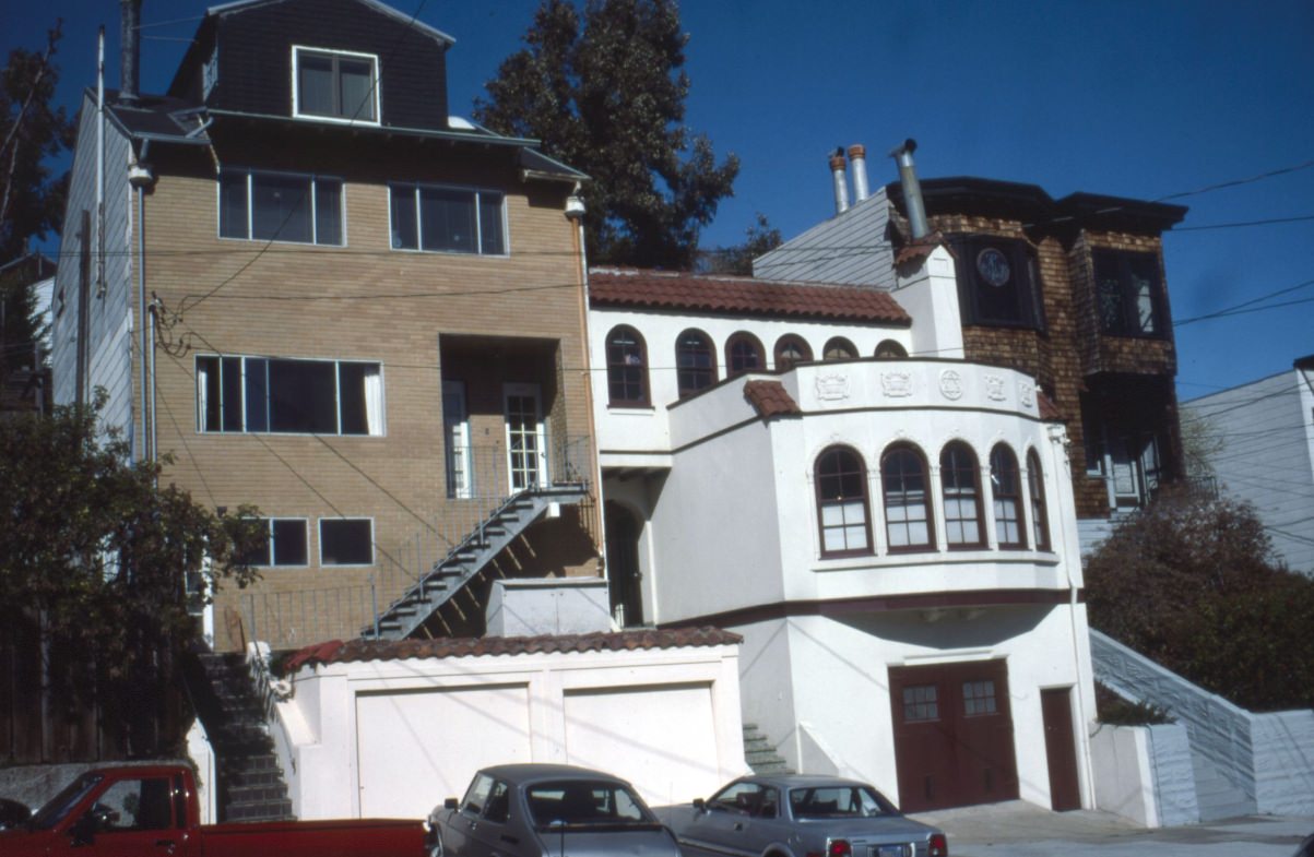
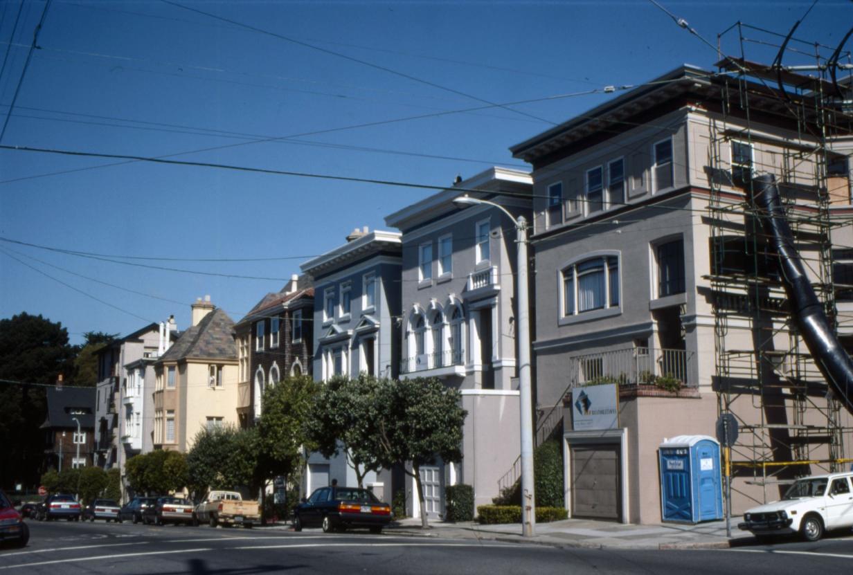
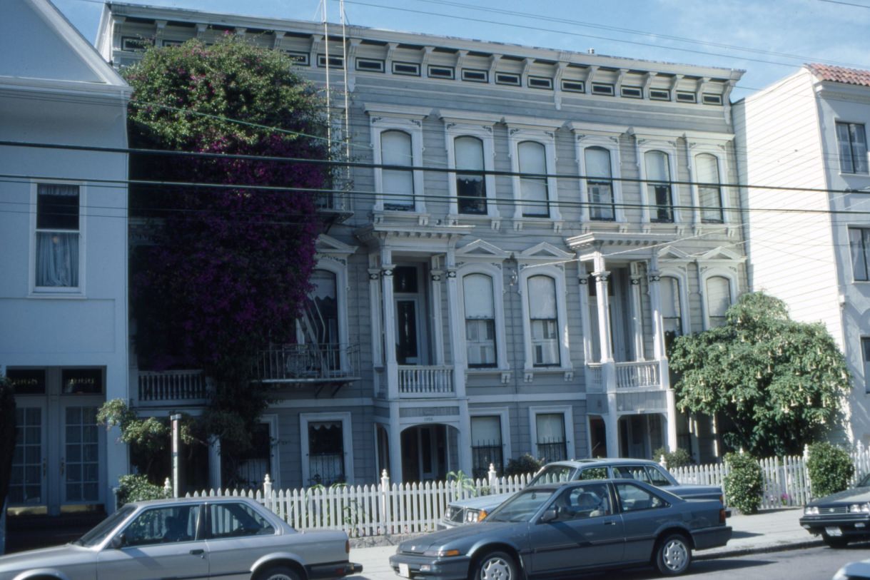
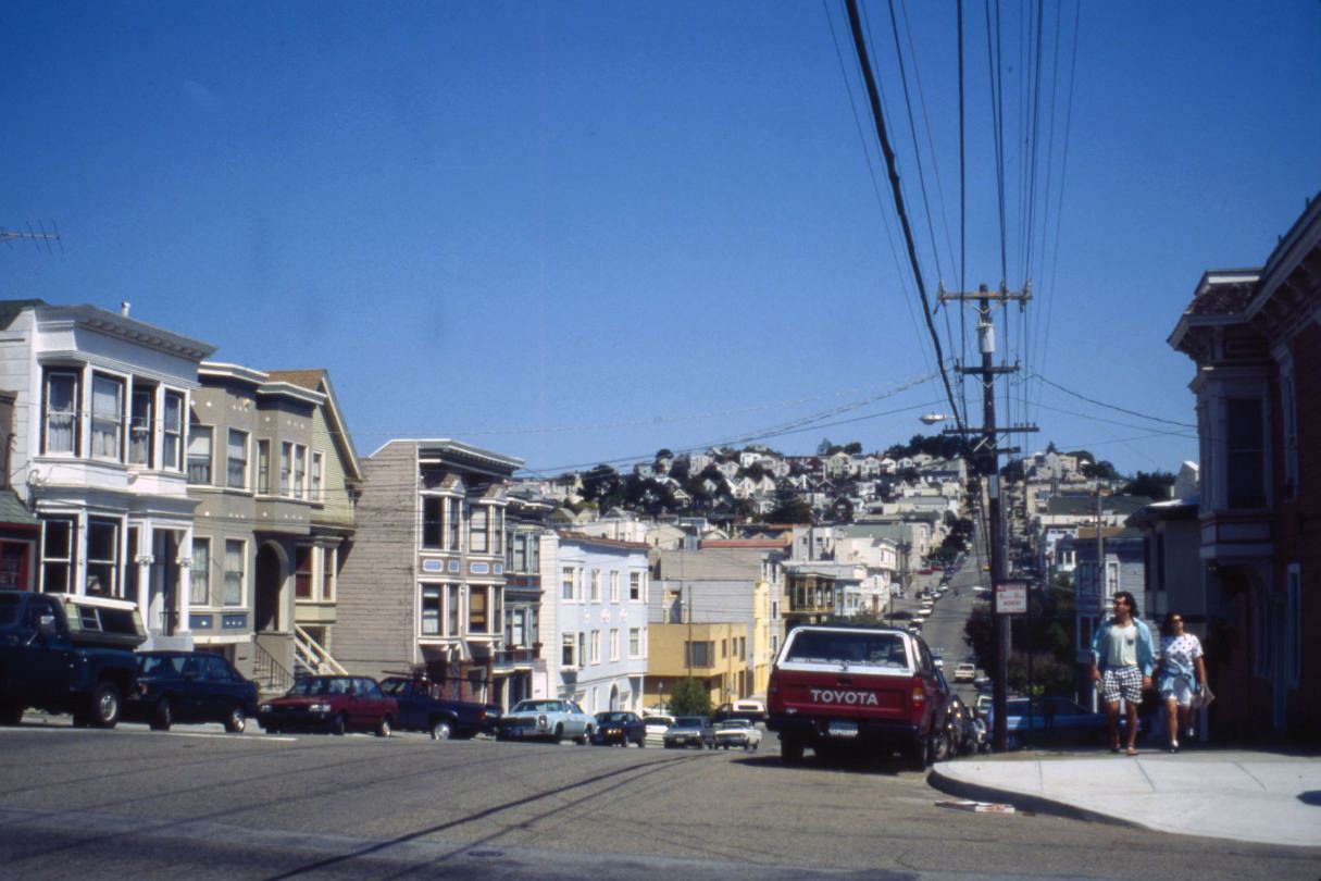
The Corbett Avenue area in the hills above the Castro offered a different San Francisco — steep, quiet streets with panoramic views, where small bungalows and cottages clung to hillsides. The neighborhoods of Noe Valley, the Castro, and Corona Heights retained their close-knit character even as the city around them was rapidly changing. Streets like Sanchez and Clipper were still definitively residential, defined by their residents rather than their real estate values.





Half of those look exactly as they do today. 1990s isn’t that long ago in a slow town like sf.
Marlena’s!
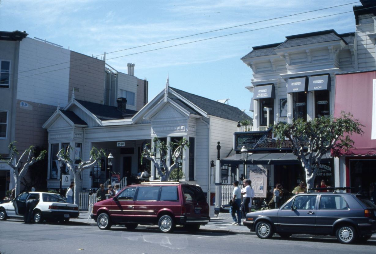
Coffee Cantata!
Replacing the coffee at Coffee Cantata with Folgers Crystals (Gasp!)
I saw the commercial as a kid growing up in Chico. Then wound up living a block away in the 80s. Wild times
Regal Theater on Market (#26) is from around 1971, not 1990. That became a porn theater in ’74, and the businesses around it all changed. Looked totally different by ’90. Also no $1.25 movies or 96-cent hot dogs in 1990. Don’t know how that one got in there.
Not that fucking car wash
I loved that car wash! My go-to for 20 years. I wish they’d do something with that empty lot…
Like build dense housing with ground floor storefronts.
That would be great. I keep hearing that a project has been approved, but years go by and nothing happens.
Clement street has somewhat the same feeling still.
I’m still kicking myself for not taking pics of Clement St in 1992. My girlfriend, Angelina, lived on 4th. I took the bus from Marin and I wasn’t familiar with The City yet. This neighborhood was a gentle introduction. I still visit there frequently. Especially New May Wah and Good Luck.
4th and Clement probably looked exactly the same but with different signs
I remember photos were a bigger deal back then ! Like if someone whipped out a camera the whole crew would start trippin , all in your face like get that camera outa here , fights in the street and on the bus and all that .
These are delightful to see. I lived there at the time. Thank you 🙏
That one at 21st/Harrison is flipped so it’s mirror-image backwards. I walk by that corner all the time and it threw me for a loop trying to figure out what was wrong with it.
RIP Touchless 😭
It’s still there
Might as well go back to the 50’s, it would look almost the exact same outside of SOMA, FiDi, and Hunters Point/Bayview.
I’d live there.
Cool pictures! I didn’t know that they moved the pioneer monument to build the new main library building. What was on the site of the library building before it was built? Was it just plaza or something else?
A one story curvy art deco building that had been a USO club.
I’d forgotten how ugly Hayes Valley used to look under that freeway.
Miss those days
I feel old
It was awesome
I remember cars were allowed to park EVERYWHERE at that time.🤣